• Home
  • About Geogypsy
    • Herstory
    • Parks where I’ve worked
  • Places I’ve been
    • United States
      • Arizona
        • Antelope Slot Canyon
        • Casa Grande Ruins National Monument
        • Colossal Cave Mountain Park
        • Flagstaff
        • Glen Canyon National Recreation Area
        • Grand Canyon National Park
          • Grand Canyon National Park North Rim
          • Grand Canyon National Park South Rim
          • Toroweap
        • Havasu Canyon
        • Horseshoe Bend
        • Jerome
        • Kaibab National Forest
        • Lee’s Ferry
        • Meteor Crater
        • Navajo Bridge
        • Oak Creek Canyon
        • Painted Desert
        • Pipe Springs National Monument
        • Prescott
        • Quartzsite
        • Saguaro National Park
        • Sedona
        • Sunset Crater Volcano National Monument
        • Vermilion Cliffs
        • Walnut Canyon National Monument
        • Wupatki National Monument
        • Yarnell
      • California
        • Anzaberrego
        • Bakersfield
        • Death Valley National Park
        • Joshua Tree National Park
        • Redwoods NP
        • Salton Sea
        • Yucca Valley
      • Colorado
        • Mesa Verde National Park
      • Florida
      • Illinois
        • IL River
        • Morton Arboretum
        • Starved Rock State Park
      • Michigan
      • Nevada
      • New Mexico
      • Oregon
        • Crater Lake NP
        • Mt Hood
        • Oregon Caves National Monument
      • Texas
        • Alpine Texas
        • Padre Island
        • Port Isabel
        • Rio Grande Valley
      • Utah
        • Brian’s Head
        • Bryce Canyon National Park
        • Buckskin Gulch
        • Cedar Breaks National Monument
        • Cedar City
        • Coral Pink Sand Dunes State Park
        • Dixie National Forest
        • Grand Staircase Escalante National Monument
        • Johnson Canyon
        • Kanab
    • World Travels
      • Germany
      • Mexico
      • South Africa
  • Tours
  • Photography
  • Work with Me
    • Sponsors
  • Contact
Geogypsy
Menu
  • Home
  • About Geogypsy
    • Herstory
    • Parks where I’ve worked
  • Places I’ve been
    • United States
      • Arizona
        • Antelope Slot Canyon
        • Casa Grande Ruins National Monument
        • Colossal Cave Mountain Park
        • Flagstaff
        • Glen Canyon National Recreation Area
        • Grand Canyon National Park
          • Grand Canyon National Park North Rim
          • Grand Canyon National Park South Rim
          • Toroweap
        • Havasu Canyon
        • Horseshoe Bend
        • Jerome
        • Kaibab National Forest
        • Lee’s Ferry
        • Meteor Crater
        • Navajo Bridge
        • Oak Creek Canyon
        • Painted Desert
        • Pipe Springs National Monument
        • Prescott
        • Quartzsite
        • Saguaro National Park
        • Sedona
        • Sunset Crater Volcano National Monument
        • Vermilion Cliffs
        • Walnut Canyon National Monument
        • Wupatki National Monument
        • Yarnell
      • California
        • Anzaberrego
        • Bakersfield
        • Death Valley National Park
        • Joshua Tree National Park
        • Redwoods NP
        • Salton Sea
        • Yucca Valley
      • Colorado
        • Mesa Verde National Park
      • Florida
      • Illinois
        • IL River
        • Morton Arboretum
        • Starved Rock State Park
      • Michigan
      • Nevada
      • New Mexico
      • Oregon
        • Crater Lake NP
        • Mt Hood
        • Oregon Caves National Monument
      • Texas
        • Alpine Texas
        • Padre Island
        • Port Isabel
        • Rio Grande Valley
      • Utah
        • Brian’s Head
        • Bryce Canyon National Park
        • Buckskin Gulch
        • Cedar Breaks National Monument
        • Cedar City
        • Coral Pink Sand Dunes State Park
        • Dixie National Forest
        • Grand Staircase Escalante National Monument
        • Johnson Canyon
        • Kanab
    • World Travels
      • Germany
      • Mexico
      • South Africa
  • Tours
  • Photography
  • Work with Me
    • Sponsors
  • Contact

Tag: sand dunes

19 January 2023

Plans to watch the moon over Cargo Muchacho Mountains

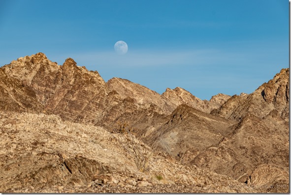
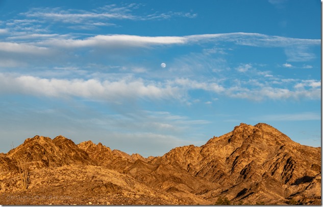
moon rise Cargo Muchacho Mts BLM Tumco CAI made plans to watch the moon over Cargo Muchacho Mountains, and went to town preparing for a couple busy days with company, followed by down days making plans for the next move.
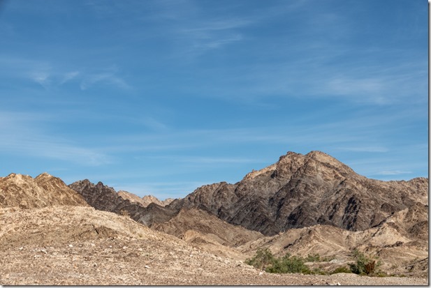
Cargo Muchacho Mts BLM Tumco CASomething I’ve noticed in only one year of retirement is my lack of making plans.  There’s no work schedule to dictate up to 40 hours a week or more.  Meeting basic needs while RV boondocking becomes my main reason to make plans.  Sure glad my needs are minimal and can be met in this desert/mountain environment near Yuma, Arizona.

moon rise Cargo Muchacho Mts BLM Tumco CAmoon rise Cargo Muchacho Mts BLM Tumco CA

moon rise Cargo Muchacho Mts BLM Tumco CAmoon rise Cargo Muchacho Mts BLM Tumco CA

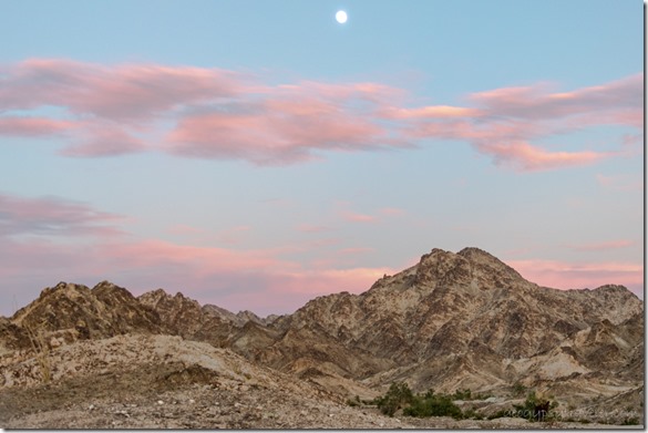
I find myself making plans to watch the moon many days ahead of an actual full moon rise.  Using PhotoPills and the Photographer’s Ephemeris plus a compass I try to figure out approximately where the moon will rise over the horizon.
moon rise Cargo Muchacho Mts BLM Tumco CA

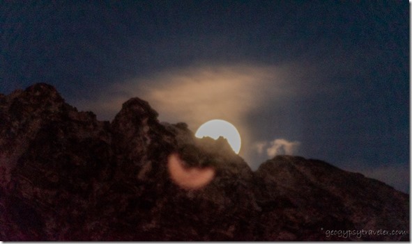
moon rise Cargo Muchacho Mts BLM Tumco CAI do like the jagged line of mountains in the foreground which means the actual time the moon crests a peak/ridge will be later than a low horizon line.
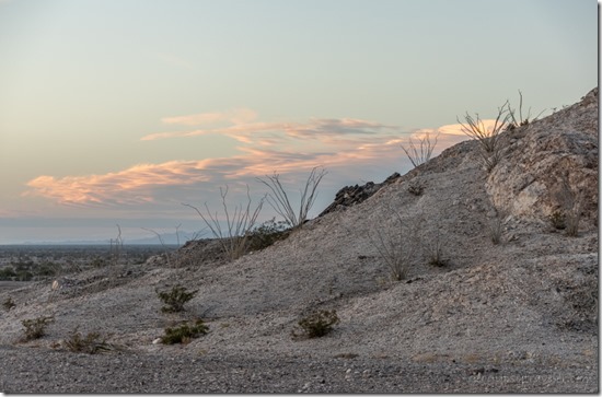
Ocotillo sunset clouds Cargo Muchacho Mts BLM Tumco CA

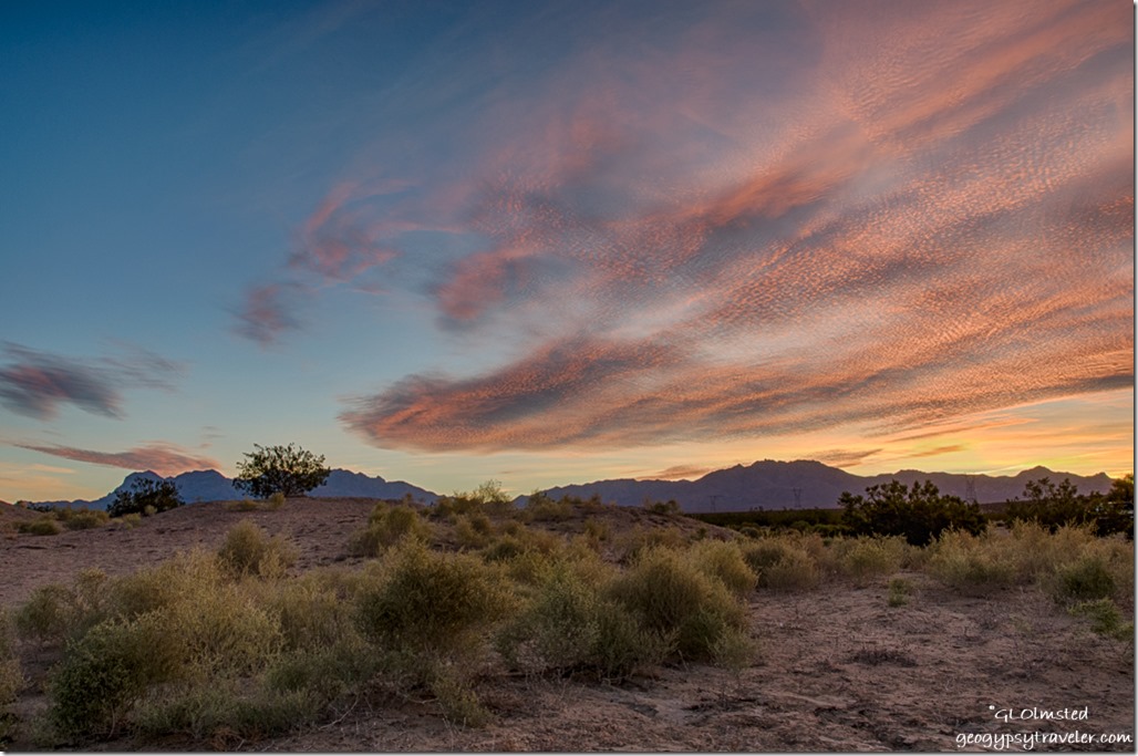
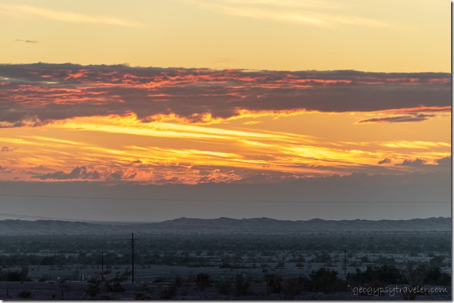
sunset clouds Cargo Muchacho Mts BLM Tumco CAI also tend to shoot several days before the 100% full moon as that puts the rise before, during, or soon after sunset providing ambient light.  Then lazy me doesn’t dig out the tripod and just shoots hand-held.  Those plans worked pretty well two days before the full moon.  And with sunsets.
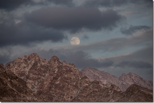
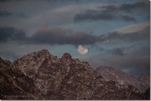
mts moon clouds Cargo Muchacho Mts BLM Tumco CA

mts moon clouds Cargo Muchacho Mts BLM Tumco CAClouds and a chill wind from the southern edge of that huge storm over California made for eerie skies.  Clouds do make for colorful sunsets but also changed the plans to watch the moon the next night.
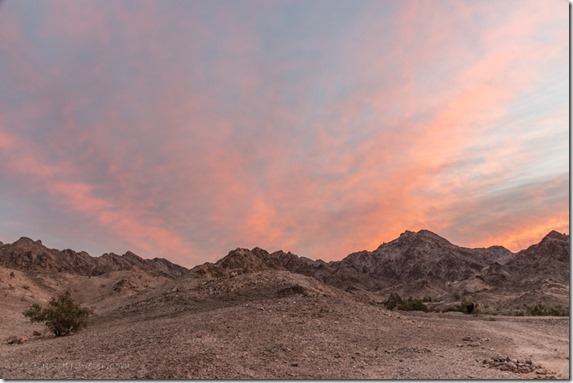
mts sunrise clouds Cargo Muchacho Mts BLM Tumco CA

desert mts sunrise Cargo Muchacho Mts BLM Tumco CAWith plans to shop in Yuma, I was up early enough the next day for a rewarding sunrise.
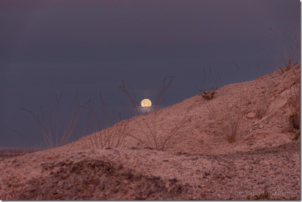
Ocotillo moon set Cargo Muchacho Mts BLM Tumco CA

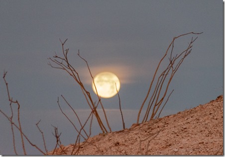
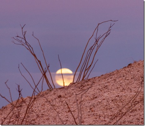
Ocotillo moon set Cargo Muchacho Mts BLM Tumco CAI had no plans to watch the moon set yet was lucky enough for mostly clear views behind the spray of Ocotillo branches.
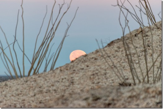
Ocotillo moon set Cargo Muchacho Mts BLM Tumco CA

Ocotillo moon set Cargo Muchacho Mts BLM Tumco CATown tends to be a full day.  I made plans to run errands on the west side of town, actually mapping out the route—propane, post office, dump tanks, and shop—before visiting with Joann including a nice long hot shower and she super spoiled me with home-made soup.
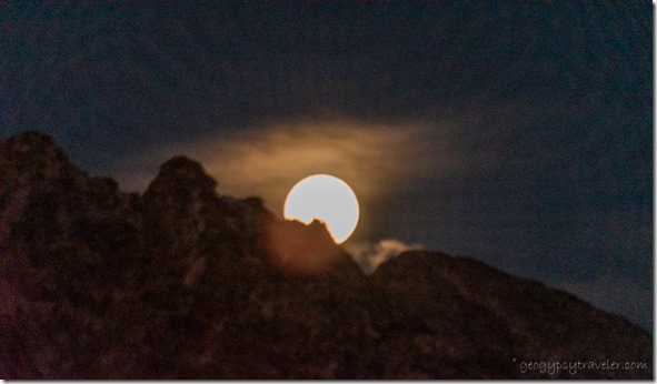
moon rise Cargo Muchacho Mts BLM Tumco CA

moon rise Cargo Muchacho Mts BLM Tumco CAWith plans to watch the moon in full, I barely made it back to camp at dusk and was too tired to put up the tripod.  My company arrived after dark.  They had driven from Santa Barbra, California, a minimum six hour drive, and left just ahead of the storms.
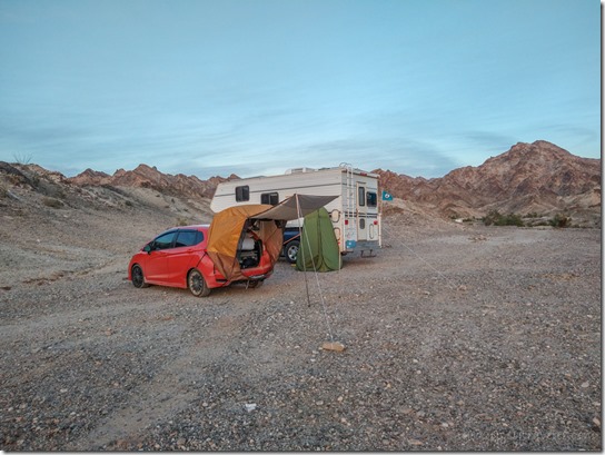
camp rigs BLM Cargo Muchacho Mts Tumco CA

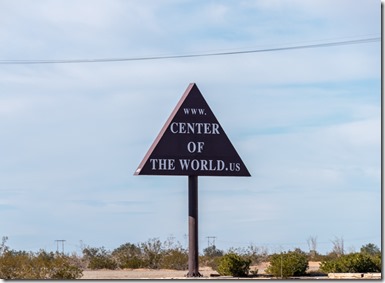
sign Center of the World Felicity CA

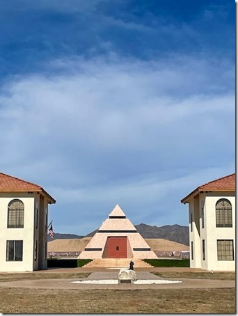
pyramid Center of the World Felicity CAWe made plans over a friendly bacon and eggs breakfast in my camper.  They refitted the car they were camped in and we took a drive to the Center of the World.  Which is located only about 12 miles away so I figure that includes me.
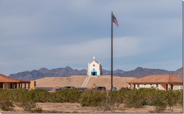
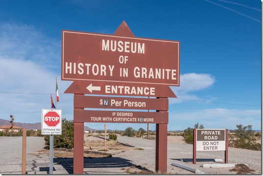
sign Museum of History in Granite Center of the World Felicity CA

church Center of the World Felicity CAOnce there, we opted out of the $7/person fee even though the Museum of History in Granite had been recommended.  If there’s a vortex at the center of the world, I didn’t feel anything.
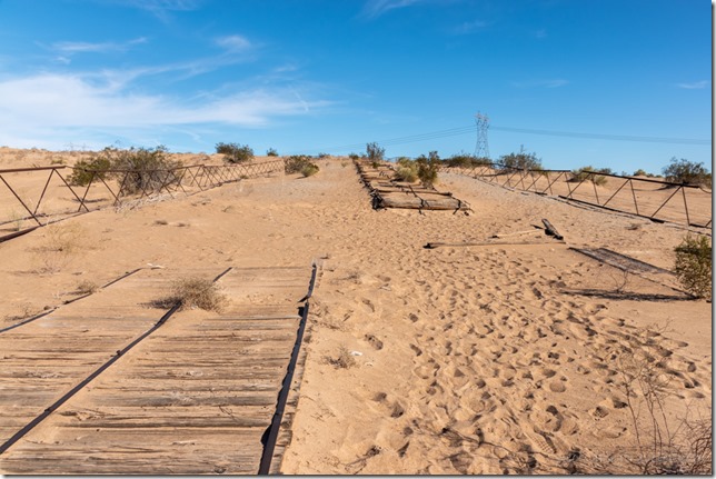
Plank Rd Historic Site Imperial Sand Dunes CAWe also visited the historic Plank Road.  Imagine the drive from San Diego to Yuma trying to cross six miles of up to 300 foot tall sand dunes in an early 1900s automobile.  No 4-wheel drive back then.
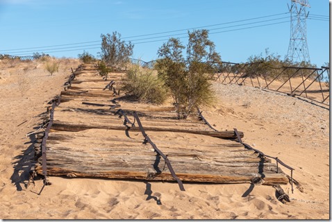
Plank Rd Historic Site Imperial Sand Dunes CAIn 1915 the plank road was built by placing 8×12 foot sections of boards held together with metal and bolts and set end to end across the sand.  Traffic was one way so every 1000 feet an extra section was set in width to allow for passing.  Wind blown sand would obliterate the road and horses were used to scrape the sand and reposition the sections.  Finally, in 1926 a paved road was built, now Interstate 8, and the plank road was abandoned.  In the 1970s a group of people formed and preserved 1500 feet as a historic landmark.
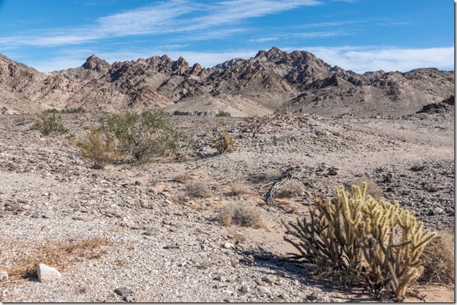
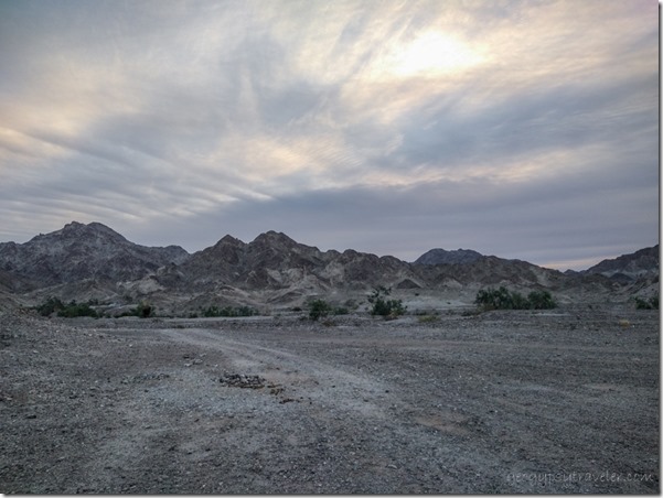
Cargo Muchacho Mts BLM Tumco CAThe next day our plans included taking a walk into the Cargo Muchacho Mountains.
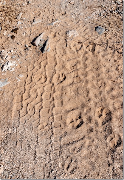
tracks Cargo Muchacho Mts BLM Tumco CA

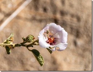
grasshopper white Mallow flower Cargo Muchacho Mts BLM Tumco CAThe 1 1/2 mile loop took us a couple hours as we looked at the view, rocks, lots of animal tracks that looked like bobcat and deer to me, and a lone mallow with a tiny grasshopper inside.  It’s so nice to find folks that like to walk as slow as I do.
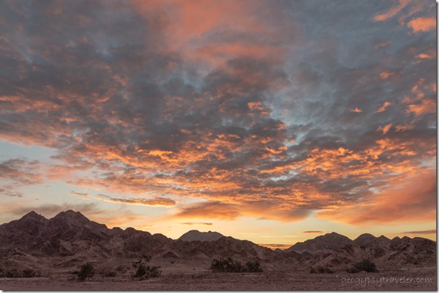
sunrise clouds BLM Cargo Muchacho Mts Tumco CAThey left early Monday for the uncertain drive to Santa Barbra and ended up in a hotel in Ventura because of flooding and closures on 101.  Safe is good and more important than the plans made to be home that day.
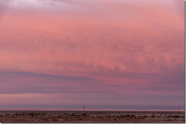
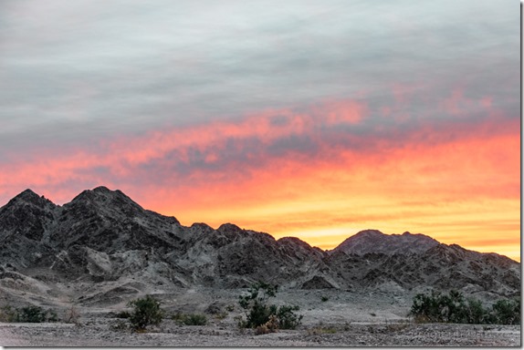
sunrise clouds BLM Cargo Muchacho Mts Tumco CALucky me, stayed home with no plans.  A down day, and pretty sunset.
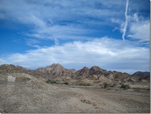
sunrise clouds BLM Cargo Muchacho Mts Tumco CA

clouds BLM Cargo Muchacho Mts Tumco CAThe next day wind blew the clouds into ever changing window displays for my entertainment.
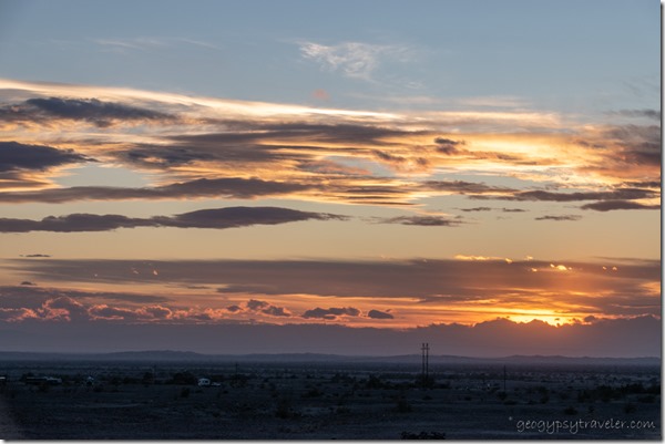
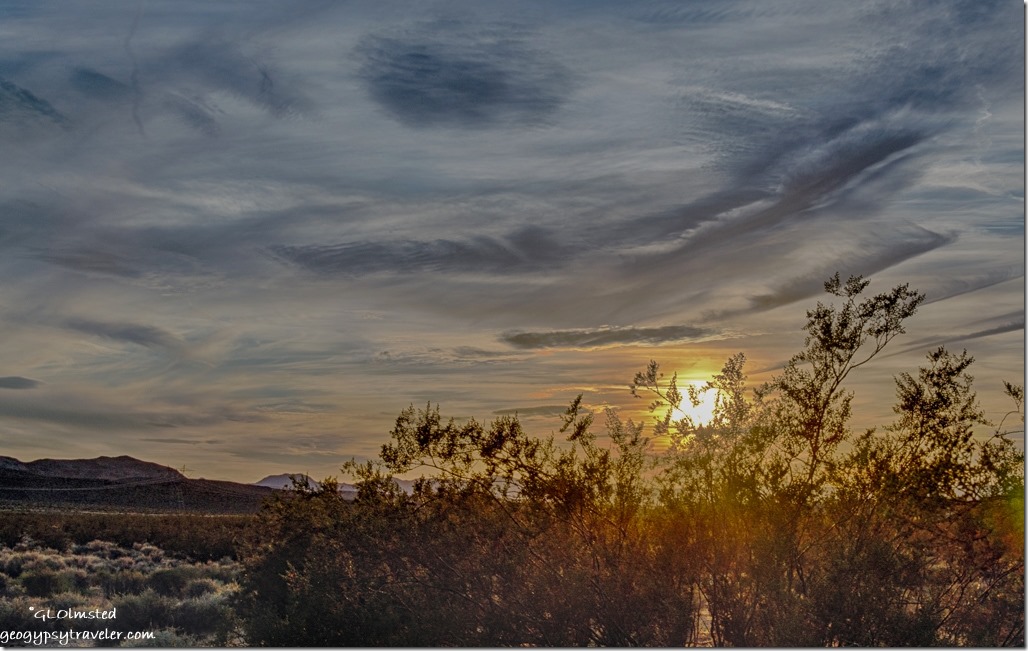
sunset clouds BLM Cargo Muchacho Mts Tumco CAI started making plans for my next move to the Quartzsite area.  But no rush, I didn’t figure on leaving the Cargo Muchacho Mountains for another week.  (Blog posts are always a week or two behind real time.)  And by then, I’ll be making plans to watch the moon over the Kofa Mountains.

————————————————————————————————–
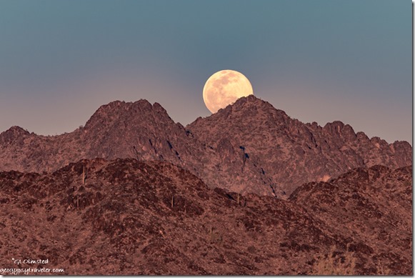
New Water Mts full moon rise MST&T Rd BLM Kofa NWR AZYou might recognize this shot from the 2022 Geogypsy calendar

Speaking of full moons, I plan to be at Kofa National Wildlife Refuge for February’s full moon.  Join me for this Geogypsy Journey, Sharing the Kofa Light February 2-6.  From morning to moon, early February light dances with the Kofa Mountains located south of Quartzsite, Arizona.  Join me to explore the Sonoran Desert life, geology, and history. RV/camp for free on BLM public land adjacent to the Kofa National Wildlife Refuge.  More information here.

2022 Sharing the Kofa Light

Push my buttons!

  • Facebook
  • Twitter
  • LinkedIn

Like this:

Like Loading...
California, Cargo Muchacho Mts boondocking, Center of the World, friends, Plank Road, sand dunes 20 Comments
15 November 2017

Camping at Kelso Dunes Mojave National Preserve

November 9 & 10, 2017

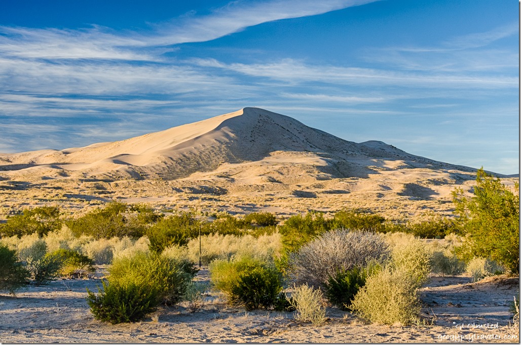
late light Kelso Dunes Mojave National Preserve CaliforniaThursday afternoon I pulled into a quiet Kelso Dunes camp area about 10 miles off I40 in Mojave National Preserve.  One SUV parked under the “big” (read only) trees taller than 8-10 feet, two people hanging out in the shade.  They took photos at sunset and were gone.  A family walked out a little ways on the sand laughing and playing and then left.
late light Kelso Dunes Mojave National Preserve CaliforniaTime change upon entering California, something we don’t do in Arizona.  Sunset before 5pm.  Did seem weird to go to bed at 8pm the first night (Thursday) but I’ve changed the clocks and watch and will adjust.

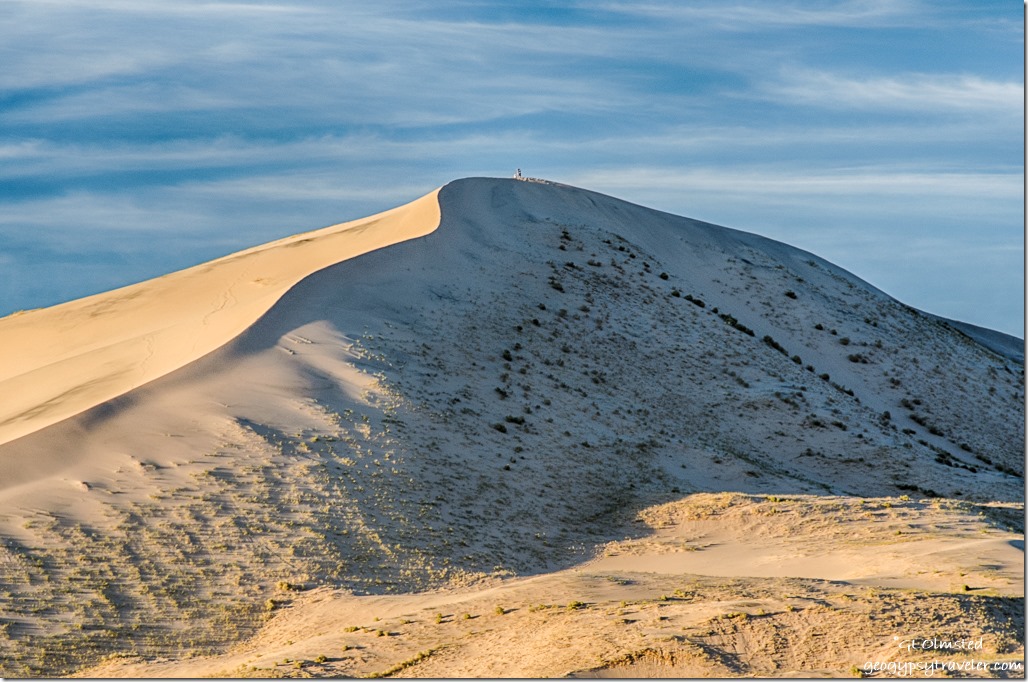
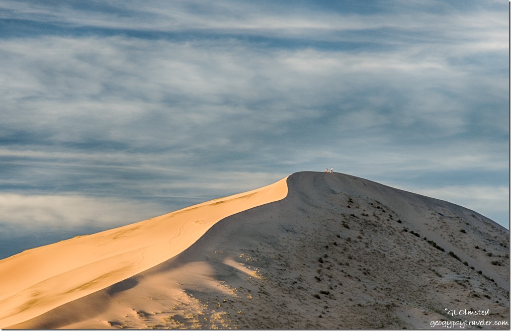
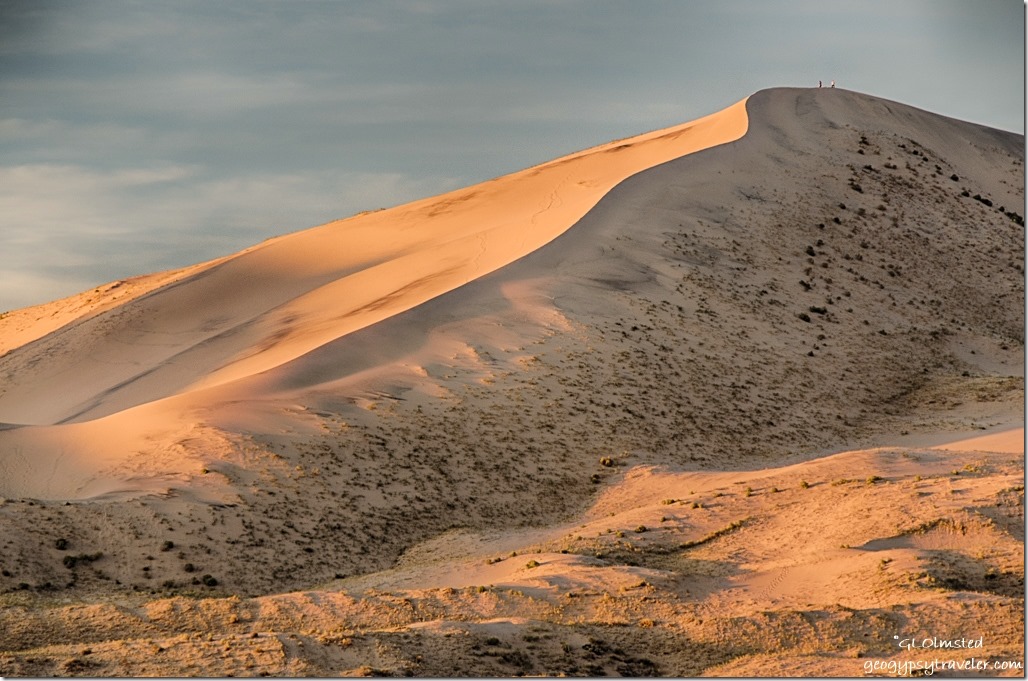
late light Kelso Dunes Mojave National Preserve CaliforniaLast light made the dunes look like folded satin.

late light Kelso Dunes Mojave National Preserve CaliforniaI had the night to myself with the distant call of coyotes but I didn’t hear the dunes sing.  I’ve heard if you slide down them under the right conditions they do “sing”.

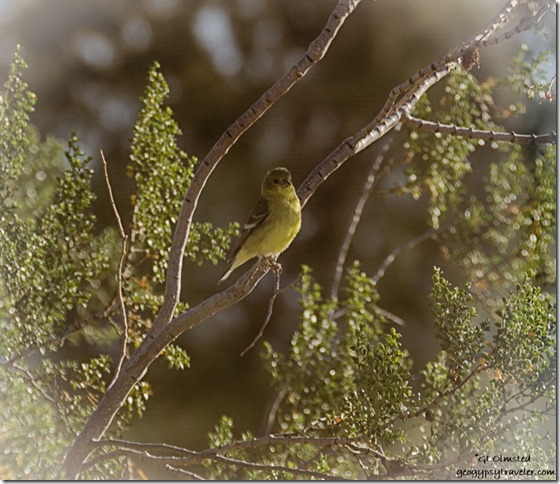
unidentified bird creosote bush Kelso Dunes Mojave National Preserve CaliforniaYet bird song was prevalent at first light flitting in and out of the creosote bush near my window.  All the photos I took are terrible through a dirty window.

Cell signal was rather in and out.  I tried to share the day’s Foto Friday Fun post on Facebook without luck.

Two vehicles and a pair of walkers rushed in briefly for sunrise light.  Which frankly I wasn’t all that impressed with in a cloudless sky.  Slowly the temperature rose and the sun’s warmth felt divine in an almost soundless desert.  The brilliant blue light gave the dunes an almost flat look.

I don’t walk into the dunes.  I prefer to look at them from afar.  Besides not liking sand in my shoes it’s too much work slogging through the soft terrain.  I sat outside in the warm sunshine reading.

Day trippers who had overshot the parking along the Kelso Dunes Road came in, some more cautiously than others on the possibly soft sand.  They don’t stay long.

But it’s Friday on a three-day holiday weekend.  Around noon the peace is broken when three huge 5th-wheels parked in a circle around the big shade trees.  And ran a generator all day.  Oh Joy!  Plus played really excessively loud music for over an hour.  Why can’t they leave the noise behind?  Hang on for a noisy weekend.

sunset Kelso Dunes Mojave National Preserve CaliforniaThe cloudy sunset reminded me of a Van Gogh painting.  Yet provided no light on the dunes.

sunrise Kelso Dunes Mojave National Preserve CaliforniaUp in time for a flash of colorful sunrise.

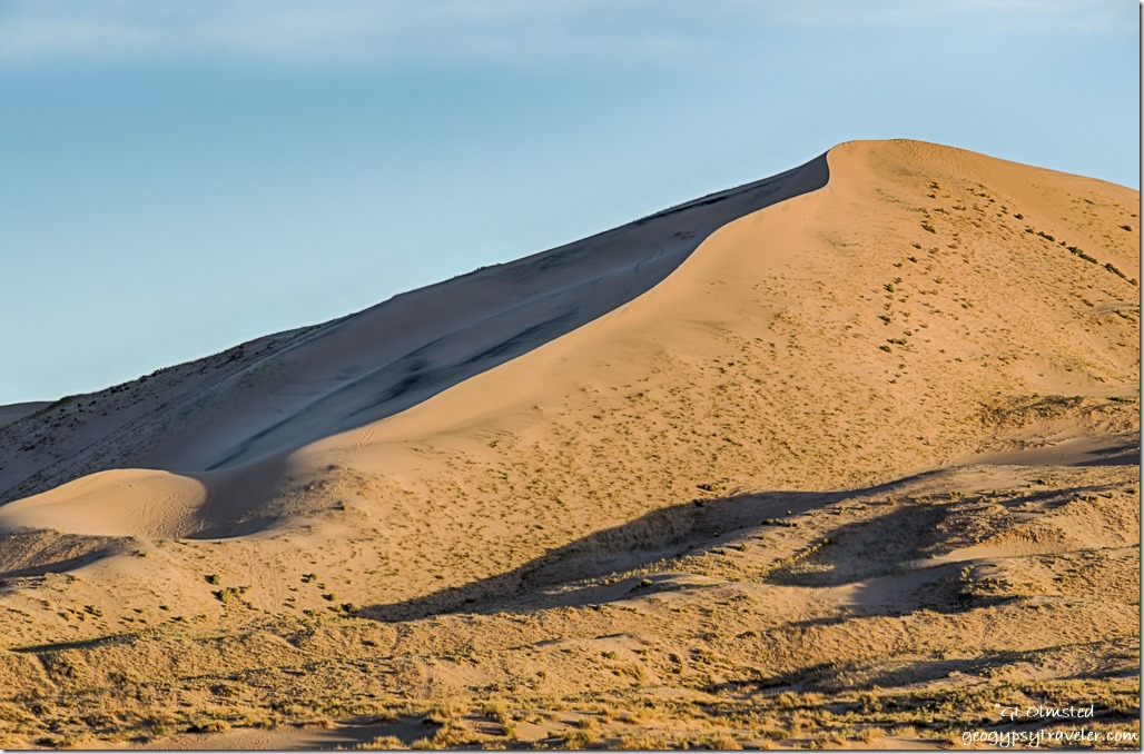
morning light Kelso Dunes Mojave National Preserve CaliforniaAnd morning light gave the dunes a different pattern of shadows.

Then time to roll as I made my way towards Lone Pine to meet a friend with a one night stop along the way at Fossil Falls.

Push my buttons!

  • Facebook
  • Twitter
  • LinkedIn

Like this:

Like Loading...
California, Mojave National Preserve, National Parks and Monuments, Places I've been, United States camping, public lands, sand dunes, sunrise, sunset 8 Comments
21 March 2016

Keeping your cool when stuck in a sand dune

March 2, 2016

Sand dune ATV trail to Peekaboo Canyon Utah

On a beautiful Wednesday in southern Utah Bill and I decided to explore nearby Peekaboo Canyon but instead one wrong turn found us stuck in a sand dune.

Sand dune ATV trail to Peekaboo Canyon Utah

Only nine miles (14 km) north of Kanab, my current backyard, a small sign indicates the turn for Peekaboo Canyon and there’s a parking lot for those who trailered in OHVs (Off Highway Vehicles).  There’s also a 2.86 mile (4.6 km) primitive road to the trail head.  We left home about 10am not worried about an early start as it takes high noon for the sun to reach into most slot canyons.

Sand dune ATV trail to Peekaboo Canyon Utah

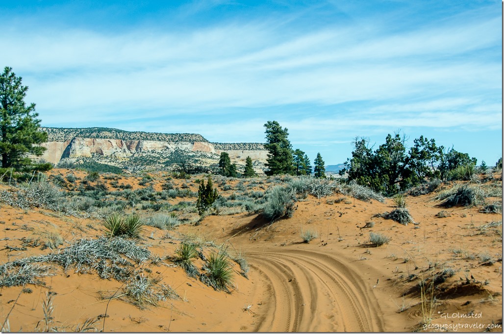
Off we went down the sandy one-way track, Bill behind the wheel, me contentedly marveling at the view and taking photos through the buggy windshield as we bounced along.  (Reason for fuzzy photos.)

Sand dune ATV trail to Peekaboo Canyon Utah

A little more narrow in some places that added graphics to the truck’s already dull paint.  Although Bill says it’s due for a paint job he’d probably be relieved after the first new scratch(es).

Sand dune ATV trail to Peekaboo Canyon Utah

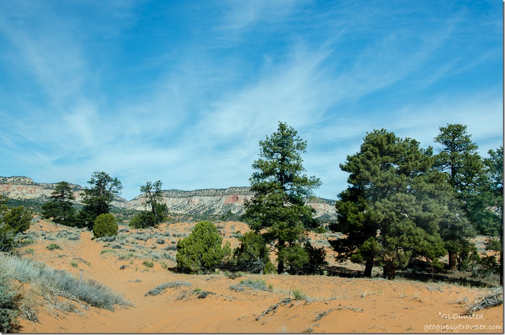
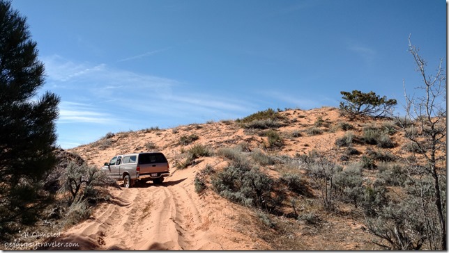
The sand got deeper, lacking a firm base below, we were dune hoping in the Tundra 4×4 and shortly after a fork in the trail Bill realized we’d taken the wrong turn from the start and were bouncing along on an OHV trail, with no place to turn around.

Sand dune ATV trail to Peekaboo Canyon Utah

Over much time and use this ‘track’ sinks into the soft sand dunes creating higher banks on each side.  (Take note of this view for later.)  There is little vegetation with groves of Ponderosa Pine in some of the dips.  One of which we finally found firm enough ground to turn around.

Sand dune ATV trail to Peekaboo Canyon Utah

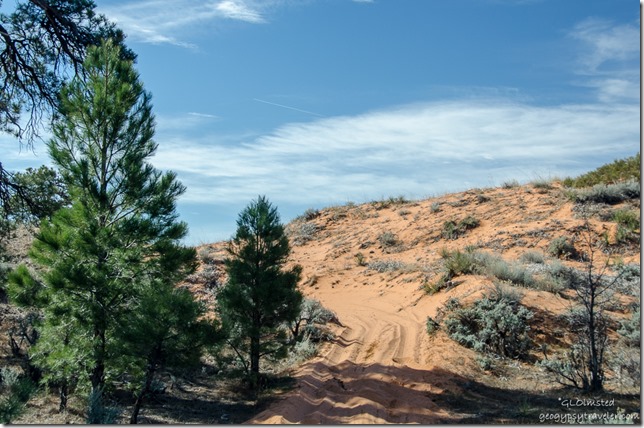
Remember I said in “dips”, those are low spots, below a hill of sand.  Not easy to get momentum for the climb even with 4×4.  (Note this sandy hill for later.)

Bill & dead truck sand dune ATV trail to Peekaboo Canyon Utah

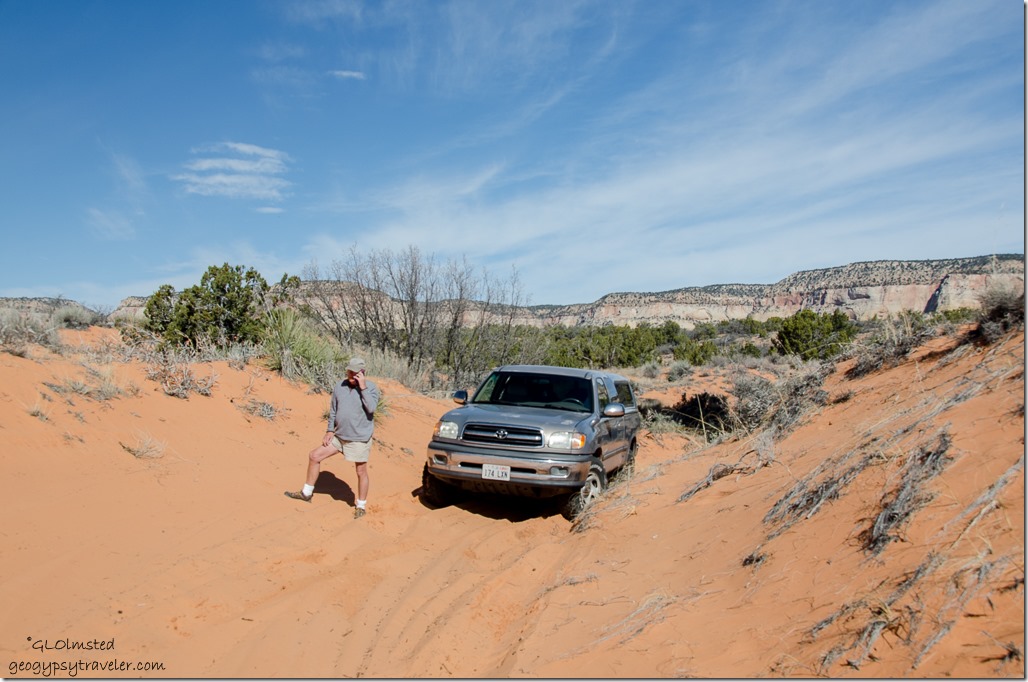
We were climbing.  Then there was smoke.  Stinky gray smoke, coming from under the truck.  And, no more clutch.  There we sat, stuck in a sand dune with no go.

Bill keeps his cool, more than passing the “flat tire test”.  Much to learn from this as I tend to get frustrated and stressed out, not healthy.  But his calm kept me calm.  I mean really, I had 3bars on the phone and Bill has AAA.  So he calls the local tow service, tells them where we are, and then walks maybe 1/4 mile to that fork in the trail to wait.  Now 11am.

Bill's truck Sand dune ATV trail to Peekaboo Canyon Utah

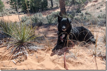
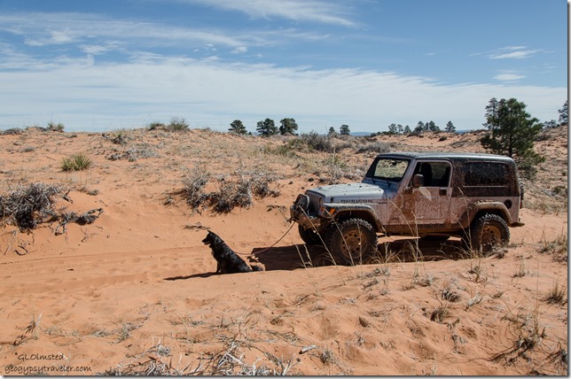
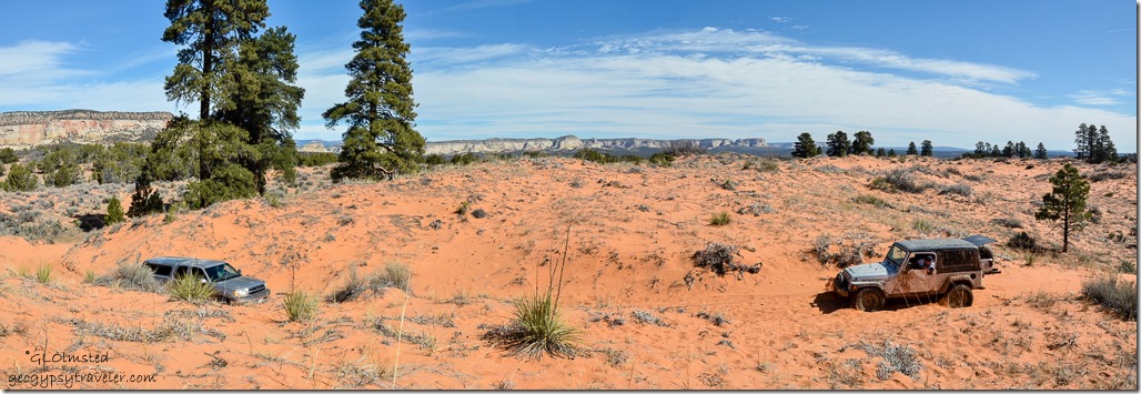
In the meantime, Sasha and I found a place to hang out in the shady grove of pines.  But not for long before Bill calls and asks me to move to the top of the hill, remember ‘that’ hill, so I can be seen and the tow rig can stop before the hill.  No problem, as I trudge through the soft sand with help from leashed Sasha giving me a little tug.


Sahsa sand dune UtahI found a comfy place to shape a seat in the dune’s fine sand, me in the warming sun and shade for Sasha, she has black fur.  At first I checked my email and sent a photo into the FB world, because I could.


Sand dunes Utah

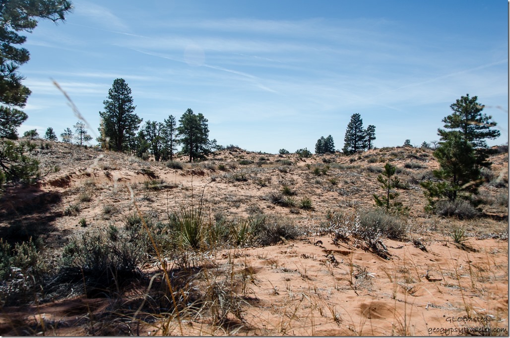
Then I just sat and marveled at this glorious landscape, stark color contrasts, the breeze bringing a light desert scent that if I wore perfume that’s what it would be.

Sand dune Utah


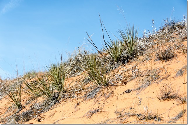
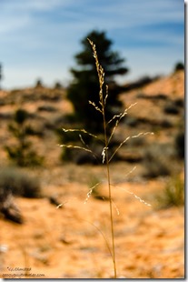
Grass tree sand dunes UtahI like sand dunes and have seen quite a few lately at Death Valley and Mojave, seen being the key word here, as I don’t usually walk out into the sifting sand.  It’s beautiful beyond words, soft and sensual, unless it’s in your eyes, clothes or shoes.  I prefer my sand lithified, into sandstone.  Much easier to walk on.  But if you’re going to be stuck somewhere, this was a great place to be.


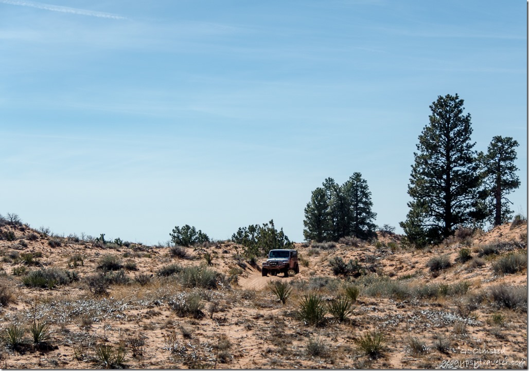
Rescue Jeep Sand dune ATV trail to Peekaboo Canyon Utah

Noon, almost too soon I saw a Jeep coming down the road and knew it had to be the tow rig.

Sahsa hooked to Jeep Sand dune ATV trail to Peekaboo Canyon Utah


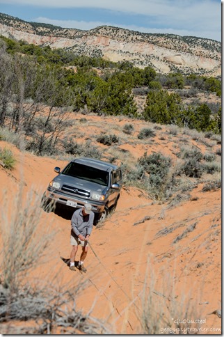
 Bill with winch line Sand dune ATV trail to Peekaboo Canyon Utah


Everyone had a job to do.  Bill and Ben, the Jeep driver, hauled the tow line from the winch, and I stayed out of the way and took photos.  Once they had everything hooked up my assistant Sasha joined me on a dune and watched the show.


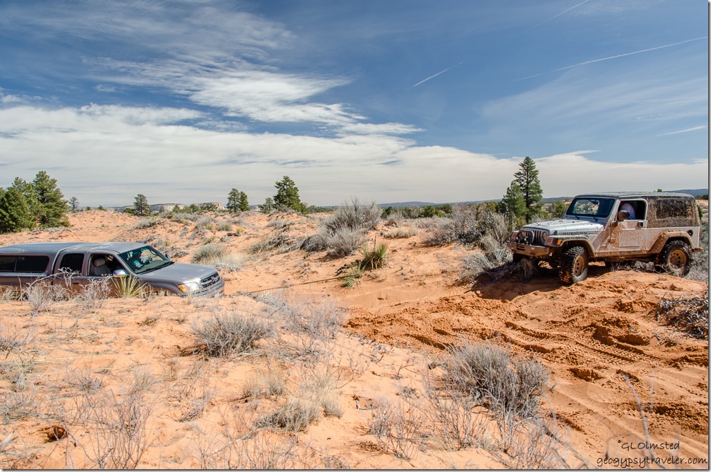
Jeep winches Bill's truck Sand dune ATV trail to Peekaboo Canyon Utah

Wow!  Am I ever amazed by the power of a winch.  Never had one.  S l o w l y, ever so slowly the Tundra crawled up ‘that’ hill, and just before it crested coming closer to the Jeep Ben kicked it in reverse and kept pulling it along.

Bill's truck being winched by Jeep Sand dune ATV trail to Peekaboo Canyon Utah

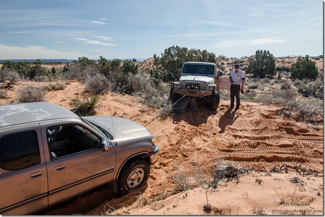
Once over ‘that’ hill Ben turned the Jeep around and re-hooked with a tow strap.  Sasha and I got in the Tundra with Bill and off we went.  But not very far before the soft sand banks on a curve caused the front wheels to have a mind of their own and turn the opposite way Bill tried to steer.  Again the Jeep got turned around, the winch was put back to working the Tundra slowly past the curve.

Bill's truck being winched by Jeep Sand dune ATV trail to Peekaboo Canyon Utah

I was even more than impressed with this Jeep Rubicon, and it’s operator Ben.  The winch even has remote control.  Neither of us liked how this tore up the dunes.


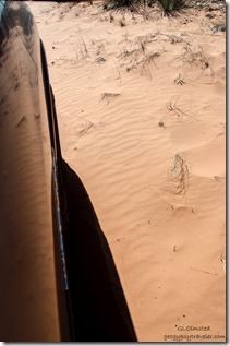
Keeping tire straight Sand dune ATV trail to Peekaboo Canyon Utah


OK, back to the tow strap with forward motion, but every curve caused problems.  I hug out the passenger window to watch the front tire, letting Bill know when it wasn’t straight.


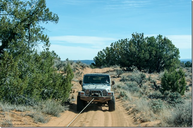
Jeep towing Sand dune ATV trail to Peekaboo Canyon Utah

We ended up going most of the couple miles with Ben backing up and connected by winch line.

Old SR89 Utah

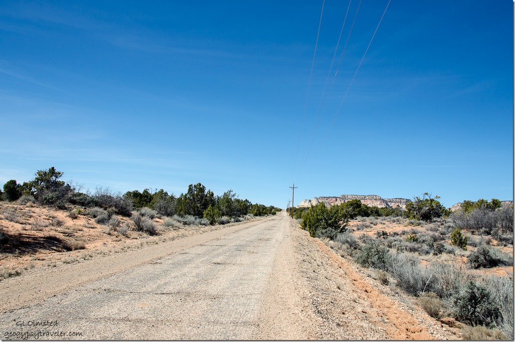
1:30pm, pavement.  Where the “real” tow truck was on its way to bring Bill’s truck back into town, for repairs.  Ben gave me a ride home and when Bill got to town at 3pm I gave him a ride home.  Thank goodness he has a second truck.  The clutch had to be replaced but our sand dune ride was only the proverbial straw.  And all things considered four hours from stuck to returned wasn’t bad.  Of course we still need to get to Peekaboo Canyon.

If in need of a tow or mechanical services in the Kanab, Utah area I highly recommend Ramsay Towing.  Some of these photos will be on their “Wall of shame.”

Push my buttons!

  • Facebook
  • Twitter
  • LinkedIn

Like this:

Like Loading...
Utah life, sand dunes, truck troubles 30 Comments
← Older posts

Hi, I’m Gaelyn, the Geogypsy

I retired after 29 summer seasons as a Park Ranger, traveling solo for 40+ years. My passions include travel, connecting to nature, photography, and sharing stories.

I started exploring US National Parks in 1977 and 20 years later became a seasonal Park Ranger.  I’ve lived full-time in a RV for 30 years working summers and playing winters.  I’m still trying to figure out what I want to be when I grow old, other than grow up.

Let’s share our stories.  Here’s more of mine…

My wheeleastate

I am currently…

…boondocking somewhere in southern Arizona.  In the area, give a shout.

Geogypsytraveler on YouTube

Follow my journey on YouTube. Just click the pic. Hope you’ll like, share, and subscribe.

Click image for 7 minute documentary (Password “geogypsy” lowercase)

Making the Gypsy documentary is a story of its own.  Click below for the rest of the story.

Living nomadically & connecting to nature documentary

Subscribe to Blog via Email

Enter your email address to subscribe to this blog and receive notifications of new posts by email.

Photos available for sale include prints, greeting cards, coffee mugs, tote bags, phone cases and more

Reflected Wave 24X16 metal print under $100

Custom Coffee Mugs

Many items to choose from including prints

The Last Blast 24 x 16″ metal print under $100

Need a signal boost? When I boondock on public lands sometimes signal is weak or intermittent and a booster helps. Click the pic to visit WeBoost.

Connecting to nature and the rest of the world too.

Please contact me for photo purchases not seen at GLOlmsted Photography

Order fulfillment is by Fine Art America. If you’re not happy with your purchase, for any reason, simply return it within 30 days, and you’ll receive a full refund of the purchase price.

Why read Geogypsy?

The gypsy life spring-summer 1998 - "You were a real pioneer. RV'ing before it was cool." ...Yogi

How do you process photos? - “Your photographs create an Emotional feeling in the viewer...that they become One with You.” …Cindy

Life’s transitions between travel and work play - "I know you love your job as much as you love travel -- it shines through all your posts." ...Sallie

Lions at Kruger National Park - “Wonderful post, thank you. I was hooked start to finish!” … Peter B

11 lessons looking back 2013 - “A great post -- made me think, made me smile, made me want to cry." ...Sallie

Wildlife video Kruger National Park - “Gorgeous, this makes me want to go straight to South Africa now.” … Ayngelina

Living nomadically & connecting to nature documentary - “What an experience you had and gave to the "crew." Sometimes I think you don't realize how unique and inspiring you are.” …Alan

Search

Popular Posts

1. Prioritize the well-being of nature over photography. 2. Educate yourself about the places you photograph. 3. Reflect on the possible impact of your actions. 4. Use discretion if sharing locations. 5. Know and follow rules and regulations. 6. Always follow Leave No Trace principles and strive to leave places better than you found them. 7. Actively promote and educate others about these principles

Categories

Archives

Sites I follow, read & recommend

  • A Full-time Life
  • A Yankee in Belgrade
  • Bob's Eyes
  • Box Canyon Blog
  • Camels and Chocolate
  • Dawns bloggy blog
  • In the Direction of Our Dreams
  • Jane in her infinite wisdom
  • Janie and Steve, Utah Trails
  • Kathie's Birds
  • Las Adventuras
  • Memorable Meanders
  • Oh, The Places They Go
  • On the Road Abode
  • Port Elizabeth Daily Photo
  • Stillhowlyntravels
  • Take to the Highway
  • Technomadia
  • the good luck Duck
  • Travel with the Bayfield Bunch
  • Wandering Earl
  • Wheeling It
  • Yogi's Den

Caught in a Slot 9×12 canvas print under $50

If you don’t like what’s going on in your government, contact your Congress

Directory of Senators

Directory of Representatives

Lijit

© Copyright 2008-2024. Geogypsytraveler.com
%d