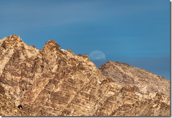
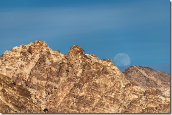
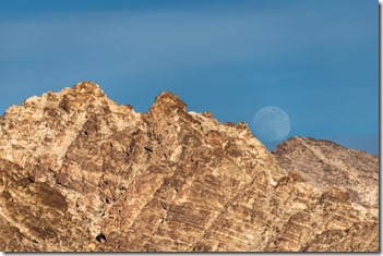
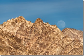
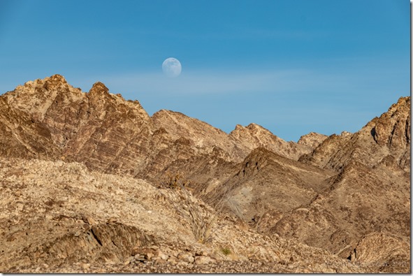
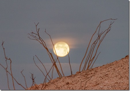
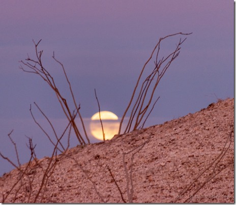
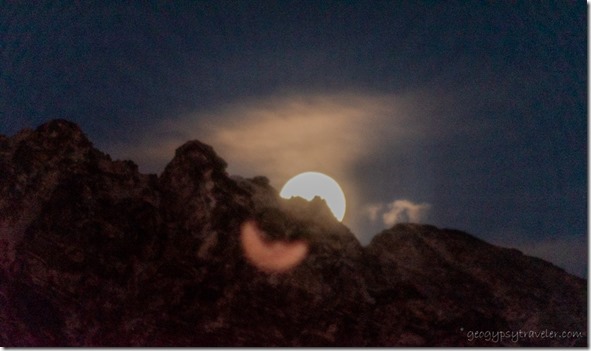
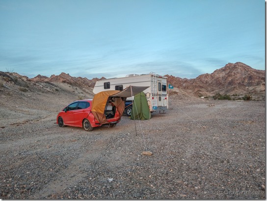
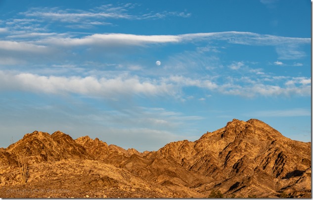
 I made plans to watch the moon over Cargo Muchacho Mountains, and went to town preparing for a couple busy days with company, followed by down days making plans for the next move.
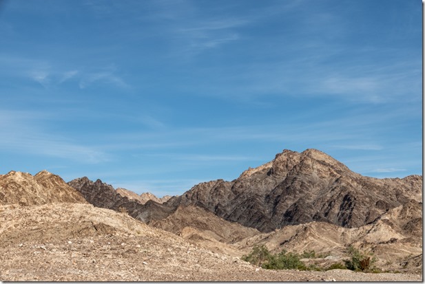 Something I’ve noticed in only one year of retirement is my lack of making plans. There’s no work schedule to dictate up to 40 hours a week or more. Meeting basic needs while RV boondocking becomes my main reason to make plans. Sure glad my needs are minimal and can be met in this desert/mountain environment near Yuma, Arizona.
I find myself making plans to watch the moon many days ahead of an actual full moon rise. Using PhotoPills and the Photographer’s Ephemeris plus a compass I try to figure out approximately where the moon will rise over the horizon.
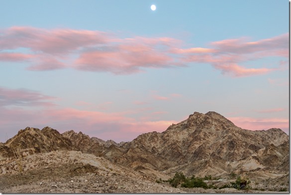 I do like the jagged line of mountains in the foreground which means the actual time the moon crests a peak/ridge will be later than a low horizon line.
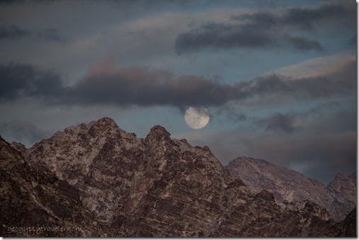
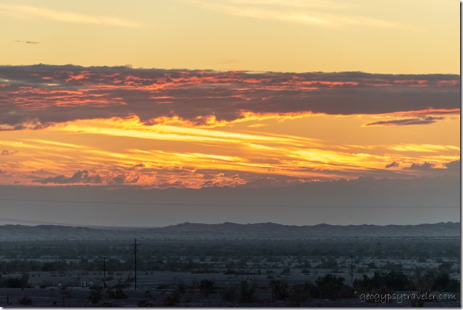 I also tend to shoot several days before the 100% full moon as that puts the rise before, during, or soon after sunset providing ambient light. Then lazy me doesn’t dig out the tripod and just shoots hand-held. Those plans worked pretty well two days before the full moon. And with sunsets.
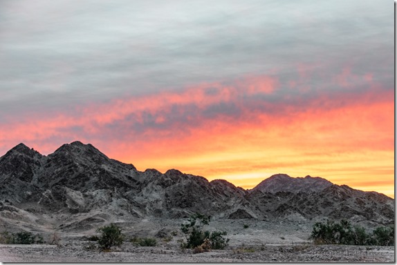
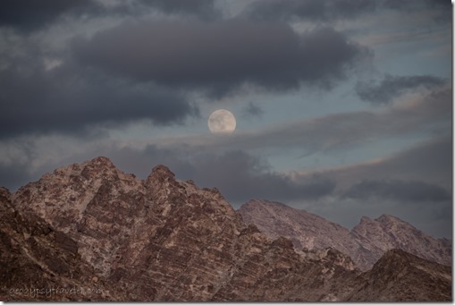 Clouds and a chill wind from the southern edge of that huge storm over California made for eerie skies. Clouds do make for colorful sunsets but also changed the plans to watch the moon the next night.
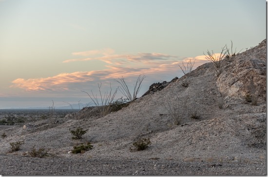
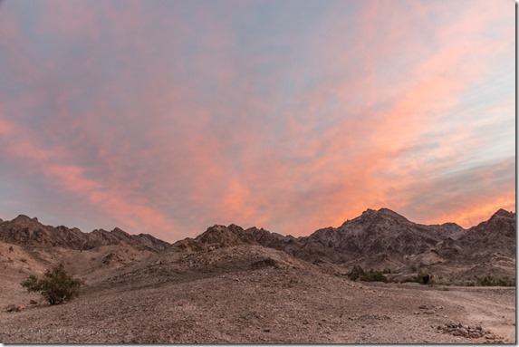 With plans to shop in Yuma, I was up early enough the next day for a rewarding sunrise.
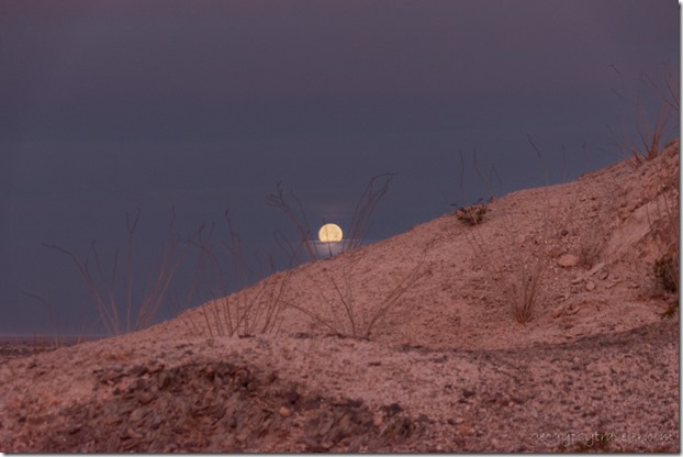 I had no plans to watch the moon set yet was lucky enough for mostly clear views behind the spray of Ocotillo branches.
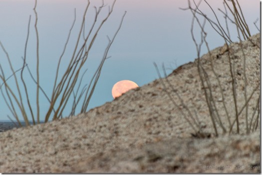 Town tends to be a full day. I made plans to run errands on the west side of town, actually mapping out the route—propane, post office, dump tanks, and shop—before visiting with Joann including a nice long hot shower and she super spoiled me with home-made soup.
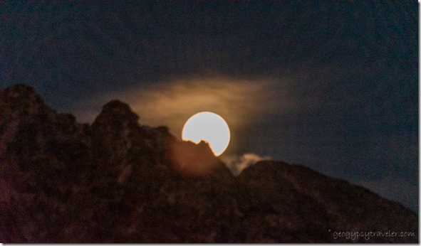 With plans to watch the moon in full, I barely made it back to camp at dusk and was too tired to put up the tripod. My company arrived after dark. They had driven from Santa Barbra, California, a minimum six hour drive, and left just ahead of the storms.
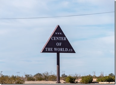
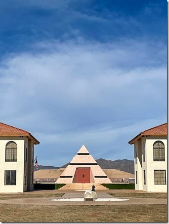 We made plans over a friendly bacon and eggs breakfast in my camper. They refitted the car they were camped in and we took a drive to the Center of the World. Which is located only about 12 miles away so I figure that includes me.
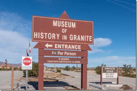
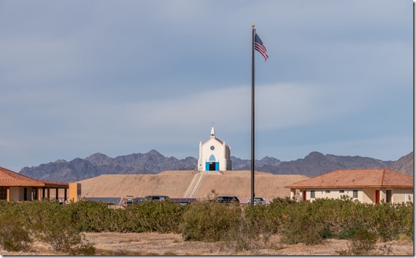 Once there, we opted out of the $7/person fee even though the Museum of History in Granite had been recommended. If there’s a vortex at the center of the world, I didn’t feel anything.
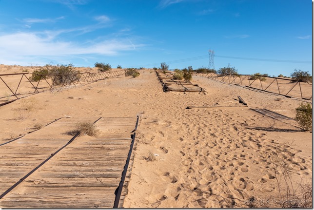 We also visited the historic Plank Road. Imagine the drive from San Diego to Yuma trying to cross six miles of up to 300 foot tall sand dunes in an early 1900s automobile. No 4-wheel drive back then.
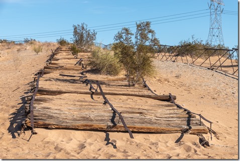 In 1915 the plank road was built by placing 8×12 foot sections of boards held together with metal and bolts and set end to end across the sand. Traffic was one way so every 1000 feet an extra section was set in width to allow for passing. Wind blown sand would obliterate the road and horses were used to scrape the sand and reposition the sections. Finally, in 1926 a paved road was built, now Interstate 8, and the plank road was abandoned. In the 1970s a group of people formed and preserved 1500 feet as a historic landmark.
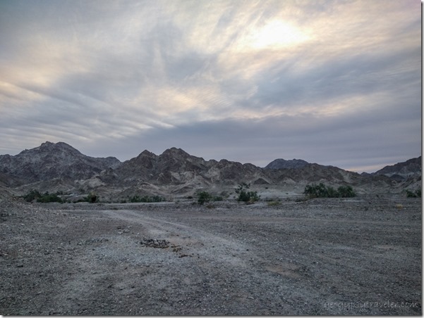
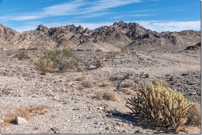 The next day our plans included taking a walk into the Cargo Muchacho Mountains.
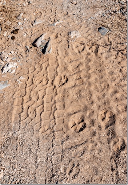
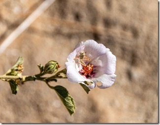 The 1 1/2 mile loop took us a couple hours as we looked at the view, rocks, lots of animal tracks that looked like bobcat and deer to me, and a lone mallow with a tiny grasshopper inside. It’s so nice to find folks that like to walk as slow as I do.
 They left early Monday for the uncertain drive to Santa Barbra and ended up in a hotel in Ventura because of flooding and closures on 101. Safe is good and more important than the plans made to be home that day.
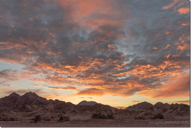
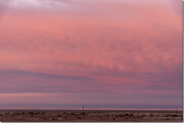 Lucky me, stayed home with no plans. A down day, and pretty sunset.
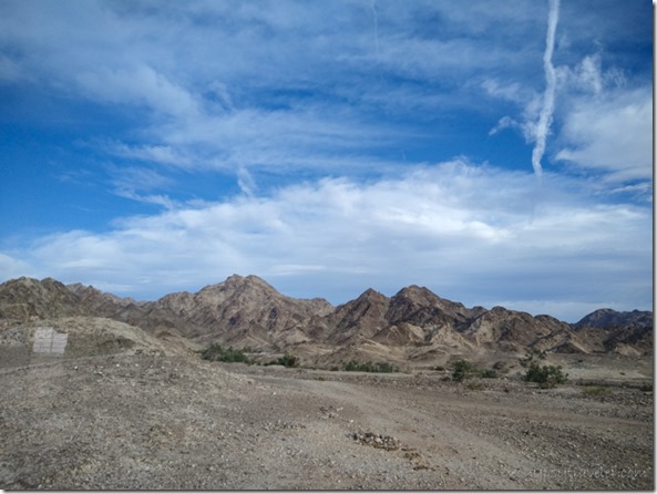 The next day wind blew the clouds into ever changing window displays for my entertainment.
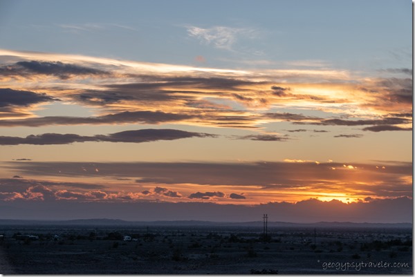 I started making plans for my next move to the Quartzsite area. But no rush, I didn’t figure on leaving the Cargo Muchacho Mountains for another week. (Blog posts are always a week or two behind real time.) And by then, I’ll be making plans to watch the moon over the Kofa Mountains.
————————————————————————————————–
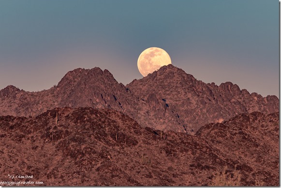 You might recognize this shot from the 2022 Geogypsy calendar
Speaking of full moons, I plan to be at Kofa National Wildlife Refuge for February’s full moon. Join me for this Geogypsy Journey, Sharing the Kofa Light February 2-6. From morning to moon, early February light dances with the Kofa Mountains located south of Quartzsite, Arizona. Join me to explore the Sonoran Desert life, geology, and history. RV/camp for free on BLM public land adjacent to the Kofa National Wildlife Refuge. More information here.

