• Home
  • About Geogypsy
    • Herstory
    • Parks where I’ve worked
  • Places I’ve been
    • United States
      • Arizona
        • Antelope Slot Canyon
        • Casa Grande Ruins National Monument
        • Colossal Cave Mountain Park
        • Flagstaff
        • Glen Canyon National Recreation Area
        • Grand Canyon National Park
          • Grand Canyon National Park North Rim
          • Grand Canyon National Park South Rim
          • Toroweap
        • Havasu Canyon
        • Horseshoe Bend
        • Jerome
        • Kaibab National Forest
        • Lee’s Ferry
        • Meteor Crater
        • Navajo Bridge
        • Oak Creek Canyon
        • Painted Desert
        • Pipe Springs National Monument
        • Prescott
        • Quartzsite
        • Saguaro National Park
        • Sedona
        • Sunset Crater Volcano National Monument
        • Vermilion Cliffs
        • Walnut Canyon National Monument
        • Wupatki National Monument
        • Yarnell
      • California
        • Anzaberrego
        • Bakersfield
        • Death Valley National Park
        • Joshua Tree National Park
        • Redwoods NP
        • Salton Sea
        • Yucca Valley
      • Colorado
        • Mesa Verde National Park
      • Florida
      • Illinois
        • IL River
        • Morton Arboretum
        • Starved Rock State Park
      • Michigan
      • Nevada
      • New Mexico
      • Oregon
        • Crater Lake NP
        • Mt Hood
        • Oregon Caves National Monument
      • Texas
        • Alpine Texas
        • Padre Island
        • Port Isabel
        • Rio Grande Valley
      • Utah
        • Brian’s Head
        • Bryce Canyon National Park
        • Buckskin Gulch
        • Cedar Breaks National Monument
        • Cedar City
        • Coral Pink Sand Dunes State Park
        • Dixie National Forest
        • Grand Staircase Escalante National Monument
        • Johnson Canyon
        • Kanab
    • World Travels
      • Germany
      • Mexico
      • South Africa
  • Tours
  • Photography
  • Work with Me
    • Sponsors
  • Contact
Geogypsy
Menu
  • Home
  • About Geogypsy
    • Herstory
    • Parks where I’ve worked
  • Places I’ve been
    • United States
      • Arizona
        • Antelope Slot Canyon
        • Casa Grande Ruins National Monument
        • Colossal Cave Mountain Park
        • Flagstaff
        • Glen Canyon National Recreation Area
        • Grand Canyon National Park
          • Grand Canyon National Park North Rim
          • Grand Canyon National Park South Rim
          • Toroweap
        • Havasu Canyon
        • Horseshoe Bend
        • Jerome
        • Kaibab National Forest
        • Lee’s Ferry
        • Meteor Crater
        • Navajo Bridge
        • Oak Creek Canyon
        • Painted Desert
        • Pipe Springs National Monument
        • Prescott
        • Quartzsite
        • Saguaro National Park
        • Sedona
        • Sunset Crater Volcano National Monument
        • Vermilion Cliffs
        • Walnut Canyon National Monument
        • Wupatki National Monument
        • Yarnell
      • California
        • Anzaberrego
        • Bakersfield
        • Death Valley National Park
        • Joshua Tree National Park
        • Redwoods NP
        • Salton Sea
        • Yucca Valley
      • Colorado
        • Mesa Verde National Park
      • Florida
      • Illinois
        • IL River
        • Morton Arboretum
        • Starved Rock State Park
      • Michigan
      • Nevada
      • New Mexico
      • Oregon
        • Crater Lake NP
        • Mt Hood
        • Oregon Caves National Monument
      • Texas
        • Alpine Texas
        • Padre Island
        • Port Isabel
        • Rio Grande Valley
      • Utah
        • Brian’s Head
        • Bryce Canyon National Park
        • Buckskin Gulch
        • Cedar Breaks National Monument
        • Cedar City
        • Coral Pink Sand Dunes State Park
        • Dixie National Forest
        • Grand Staircase Escalante National Monument
        • Johnson Canyon
        • Kanab
    • World Travels
      • Germany
      • Mexico
      • South Africa
  • Tours
  • Photography
  • Work with Me
    • Sponsors
  • Contact

Tag: road trip

25 August 2023

How I find free boondocking

I get asked all the time how I find free boondocking.  It’s a process of planning.
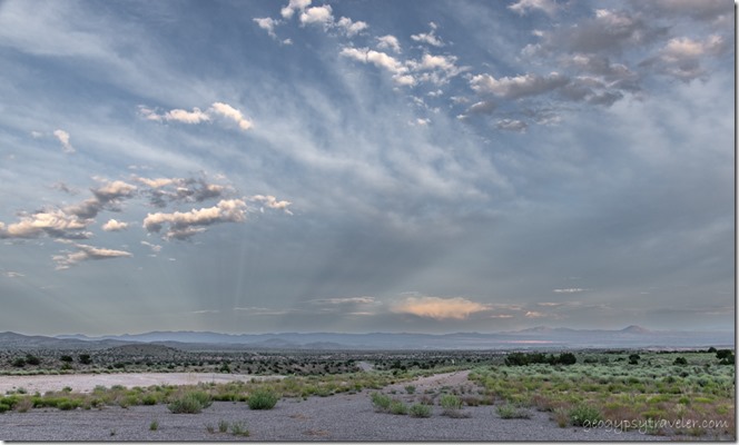
view SE rds mts anticrepuscular rays reverse sunset cloudsIf you’ve followed me for any length of time you know I find free boondocking in some amazing places in the middle of absolutely nowhere (MOAN) with often expansive and spectacular views.  I love all landscapes from desert, forest, beach, and mountains.  Yet have discovered over my 46 years of RV traveling I really like distant views with something(s) in the foreground.  So that’s what I look for.  I don’t care for crowded RV Parks or campgrounds.  Part of my experience includes listening to the sounds of the world around me.
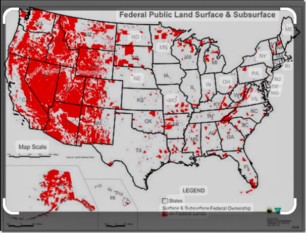
Public lands mapThe USA has over 800 million acres of public land* and a lot of it is accessible and open to free boondocking.  What is boondocking you ask?  There is debate, but my personal definition means I’m not plugged in to any electricity ( I have adequate solar), water, or sewer—known as full-hookups—because there isn’t any.  It’s free, and usually found in the middle of nowhere, rural, remote, and frequently off gravel roads.  Dry camping, also without full-hookups, free or paid can happen in many places: rest areas—know the state’s laws—if self-contained and not a tent, some parking lots with permission, along streets if small enough to stealth and look like you belong there, campgrounds on public lands, edge of a RV park.  Always look for signs and ask, be prepared for “the knock” while your sleeping then told to move.  When in doubt, ask the source not your Aunt’s brother’s dog.  If you’re looking at public land, there’s a government agency managing it, like BLM, FS, FWS, NPS, plus state and local governments.  (Bureau of Land Management, Forest Service, Fish & Wildlife Service, National Park Service)

How I find free boondocking 

I like to plan but am good with it not coming together because I include so many options.  In fact my travel plans are usually way too lofty and long without a chance of including it all.  But that’s OK, just means I can come back.

Know before you go, plan like a Park Ranger, be prepared for change, and be flexible
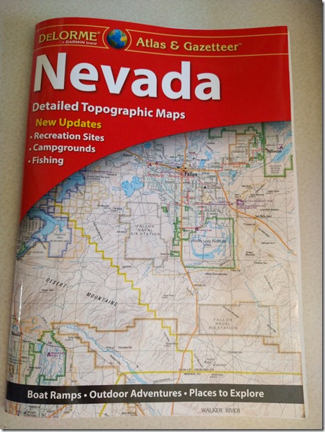
DeLorme Nevada Atlas & GazetteerFor example, when I left Utah after visiting friends I headed for Nevada.  Having never been in central or northern Nevada before the first thing I did was check my map.  Yes, an actual paper map, Nevada DeLemore Atlas and Gazetteer.  I like to look at a bigger picture than my phone for possible roads and places to see.  Plus there’s not always cell signal everywhere and when there is I take a screenshot of the information I need.  Because I don’t typically stay in RV Parks or designated campgrounds I look for public lands, starting with my paper map I find the managing agency and look at their website for the area.  Mostly that’s so I know their rules and if there’s any closures.

Next I check  weather apps, National Weather Service, The Weather Channel, and Weather Bug.  I like my temperatures about 70-80/40-50° with no huge storms coming in my direction.  I also check for fire and smoke, never pleasant to camp near.
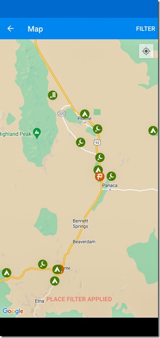
iOverlander mapThen I go to camping apps like Campendium, FreeRoam, or mostly iOverlander to see what other people recommend in my chosen area.  There are many other apps out there but a lot of them you have to pay for, and I’m a cheapskate.
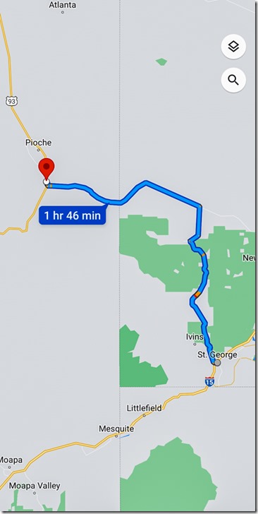
St Geo UT to Cathedral Gorge SP NVI often pin and save likely places on Google Maps app and usually take a screen shot of the directions.  Finally, I sometimes go to Google Earth to really zoom in on a location to see landscape and maybe even road conditions.  That doesn’t always work because it’s not in real time.  If the road looks doubtful, don’t go there.  Even with a high-clearance, non-4×4 pickup truck hauling a huge slide-in camper I often don’t go if roads look too rough.  I will drive 3-5 miles of decent to washboard gravel roads, very slowly.  When arriving at my chosen site that tends to be a side-road, I park and walk in to make sure it’s doable because I need overhead clearance and don’t like to backup too far.  I usually have a backup plan for at least one other free boondocking site.
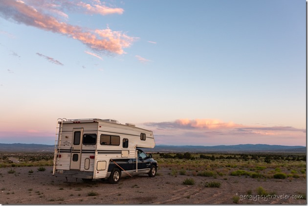
truckcamper sunset cloudsBTW, this free boondocking location will be revealed in the next blog post.

There’s beauty everywhere I go, and for me that doesn’t include cities, big towns, and interstate like highways.  I’m a nature lover and find peace within the natural world.

*About 640 million acres managed by the federal government, about 28% from a total of 2.27 billion acres.  95% by BLM, FWS, NPS and FS.  Another almost 200 million acres of public land not managed by the federal government, instead by state and local governments.  The majority of public lands are located in Alaska and Western states.

Push my buttons!

  • Click to share on Facebook (Opens in new window) Facebook
  • Click to share on X (Opens in new window) X
  • Click to share on LinkedIn (Opens in new window) LinkedIn

Like this:

Like Loading...
boondocking, RV life planning, road trip 18 Comments
16 August 2023

Leaving Utah and on to Nevada

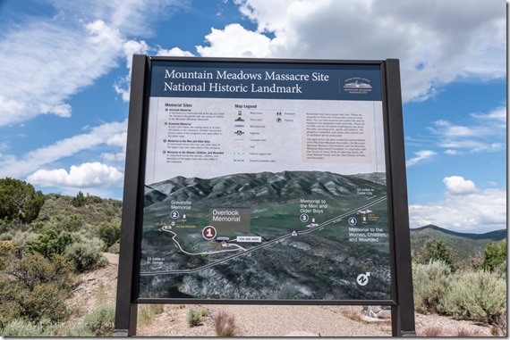
sign Mt Meadow Massacre UTAfter visiting with friends in St George, Utah it was time to head on my way in Nevada with a couple stops along the way.  Signs for public lands and overlooks hook me like fish on a worm.  And could be one of the reasons I don’t put down many miles in a day.  Only mid-June and still in the desert Southwest.

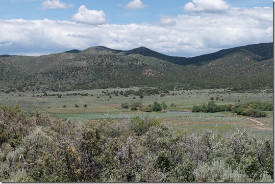
Mt Meadow Massacre UTHaving studied the cultural history of northern Arizona and southern Utah plus visited Lees Ferry many times over the years, I’d heard about the Mountain Meadow Massacre.  So when I saw a sign for an overlook, just had to stop and check it out though I did not visit any of the other sites.  In early September 1857, about 140 people camped in Ox Valley, families from Arkansas who were headed to California with all their worldly belongings in wagons, herding cattle, mules, horses, and oxen.  On September 7th, a group of Mormon militiamen and Paiute Indians attacked the camp and the emigrants fought for five days to protect their families.  Under a false white flag of truce, the militiamen entered the camp, collected weapons, and separated the emigrants into three groups marching them out of camp.  Then, at a prearranged signal, militiamen shot the men, older boys, and some of the wounded before massacring the women and most of the children.  The last 17 small children were stripped of clothing and left to die.  Two years later, United States Army soldiers buried the scattered remains.  Yet it took 17 years for a federal grand jury to indict nine Mormon militiamen for these crimes and only one, John D. Lee, was brought to trial, convicted, and executed on March 23, 1877.  This National Historic Landmark memorial site was completed/established in 2011.
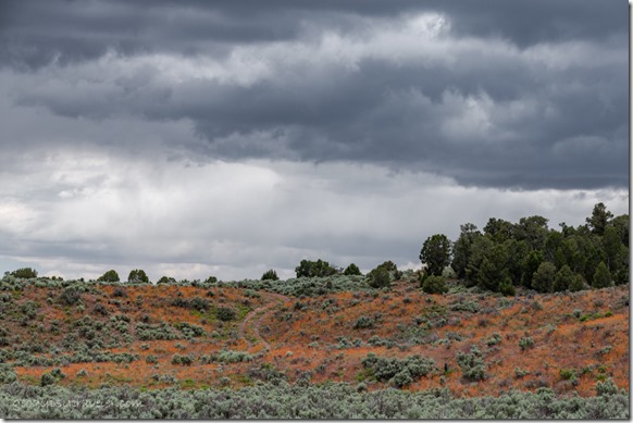
old rd orange Globe Mallow flowers storm clouds SR319 NVOrange Mallow covered hillsides welcomed to Nevada

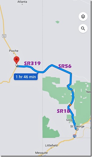
St Geo UT to Cathedral Gorge SP NVFrom there I continued on SR18 north to SR56 west which became SR319 in Nevada then north on US93 which gets its start in Wickenburg, Arizona (near my home base).  Are you lost yet?

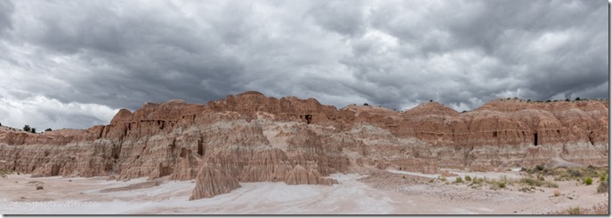
Cathedral Gorge SP NV PanoAfter watching Carolyn’s RV Life video about Cathedral Gorge State Park I decided to see it for myself.

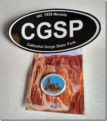
sticker & pin Cathedral Gorge SP NVFirst stopped at the Regional Information station where I asked questions and bought a hat pin and sticker.  Non-residents of Nevada pay a $10 day use fee and $20 to dry camp which includes entry.

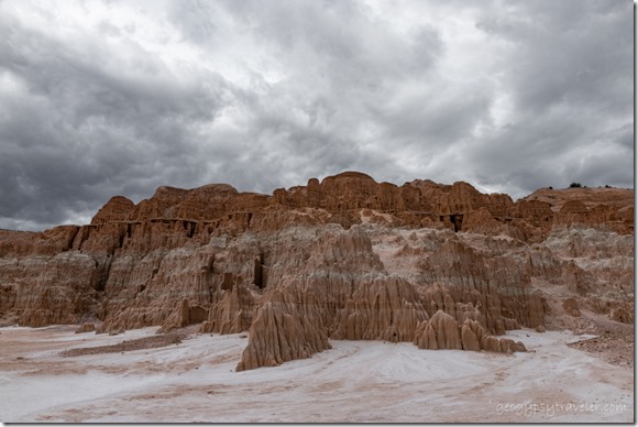
storm clouds Cathedral Gorge SP NVI thought about staying in the campground yet slipped right past the electronic iron ranger, missed the campground turn off, and ended up at day use parking.

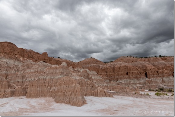
rock dark clouds Cathedral Gorge SP NVAt 90° it was too hot to hike much even though there are six developed trails from .05 to 3 miles long.

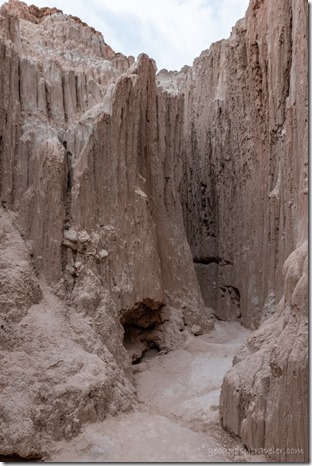
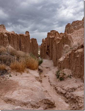
Cathedral Gorge SP NVslot canyon Cathedral Gorge SP NV

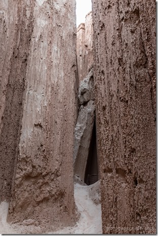
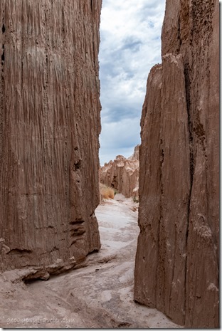
slot canyon Cathedral Gorge SP NVslot canyon Cathedral Gorge SP NV

I did poke my nose, and camera, into a couple almost slot like canyons that ended rather quickly.

rock Cathedral Gorge SP NV

white Primrose flower Cathedral Gorge SP NVThis badlands landscape began tens of millions of years ago during volcanic activity that left behind ash altered into silt and clay then later deposited by rivers, streams, and fluctuating lake levels about 2.5 million years ago.  Add erosion and you have the continuingly sculpted formations with deeply incised canyons seen today.  In 1935, Cathedral Gorge became one of the first state parks in Nevada.  Sadly, I didn’t wander far enough to see the CCC built picnic facilities, stone water tower and rest room.

mts rain clouds SR320 Pioche NVAlthough the formations were interesting, especially with the dramatic sky, I didn’t think the park was worth the price of admission.  So being late in the afternoon and still needing a place to camp, preferably through the coming weekend, I continued north under threatening skies to explore more of Nevada.

Push my buttons!

  • Click to share on Facebook (Opens in new window) Facebook
  • Click to share on X (Opens in new window) X
  • Click to share on LinkedIn (Opens in new window) LinkedIn

Like this:

Like Loading...
Cathedral Gorge State Park, Nevada, Places I've been, United States, Utah road trip, summer 2023 21 Comments
31 May 2022

Days to play after going to town


Geogypsy

Thursday is town day, avoiding most working people’s weekend, and leaves me six days to play every week.  This retirement thing just might work out.  Especially if I only have to go to town every other week.  That’s my goal leaving more days to play.  I mean why is it, when I lived 2 1/2 hours from shopping I only went to town every 3-4 weeks, and now only 30 minutes away I go weekly.  Ugh.  Not my cup of tea.  Speaking of tea, note my new profile pic to match the rest of my struggling new Geogypsy brand on YouTube.  More about that coming.


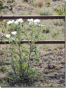
Prickly Poppy Skull Valley AZ

Anyway, another reason for Thursday to town includes stopping at the dump weekly.  One 13 gallon bag, and sometimes something else, ranges from $1-$3, depending on who’s there or maybe a whim.  I don’t know.  It’s cheap enough.  That also being the southern direction for this town day about an hour away to Wickenburg.  It would be warmer 2200 feet lower in elevation so I took off early for me.

Prickly Poppies at the gate

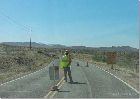
repaving Iron Springs Rd Kirkland AZOf course the road is being resealed, it’s summer around here.  Stopped along the way at Peeples Valley Market and bought local ground beef plus filled the camper’s propane tanks to refrigerate my groceries for the return journey.  Drove through Yarnell and took video driving down the Yarnell Hill on SR89 because I’ve wanted to for a long time.  Haven’t shared yet.  Made a thrift store donation of—dare I say—outgrown clothes, and bought a couple summer tops and shorts.  I haven’t needed summer clothes in many years as I usually wore a uniform.  After stocking up groceries for an anticipated two weeks, I returned via Congress to meet Gypsy for lunch.  Two hours later, I discovered the local laundromat closed.  Minimal hand wash would get me through another week.

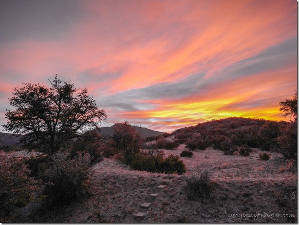
sunset clouds Skull Valley AZNice way to end a long day.

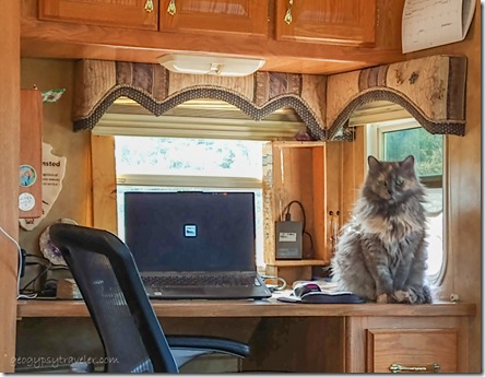
Sierra cat on desk Skull Valley AZFirst of six days to play often becomes a down day, recovery sort of from all the running around from town day.  I’m not entirely lazy as I work on the computer and online.  Why do I call it work?  Not used to retirement so I have personal work that I’m going to start calling play.  What the heck, nobody’s paying me to do this, yet.  I loved my work for so many years it’s a hard habit to break.  OK, I will admit to a lot of reading on the couch, with my feet elevated.  And thus, the only photo taken, from said couch.

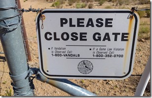
sign Please Close GateBesides, the next morning was another early rise to beat the heat as I met Joann at the gate around 7am for a day trip in search of flowering cactus.

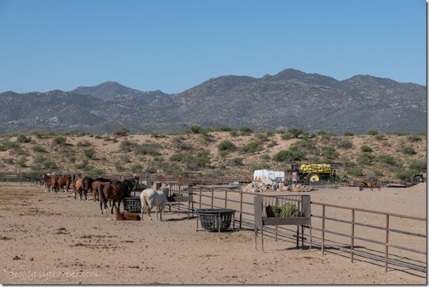
horses feeding fence mts AZJust the other side of Brushy Mountain from where I live, in the Lower Kirkland Valley a gravel sideroad caught our eyes.  We stopped regularly to take photos.  This is ranch country, horses and cattle.

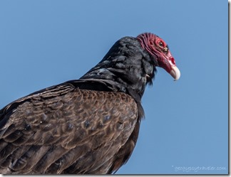
Turkey Vulture birds perched Kirkland AZ

Turkey Vulture bird roosting Kirkland AZTurkey Vulture bird roosting Kirkland AZ

                                                                           Hello handsome

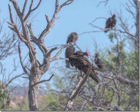
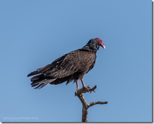
A wake of Turkey Vultures alerted us to a small wetland.  They perched at the top of mostly dead trees, some exposing stretched wings to the morning sun.  There was very little water.

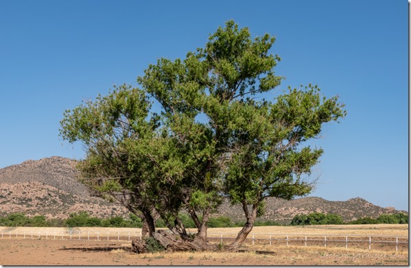
Willows nursery log Kirkland AZGrowing out of a nursery tree

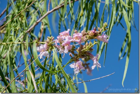
pink Desert willow tree flowers Kirkland AZYet enough to support the Desert Willow with showy blooms.

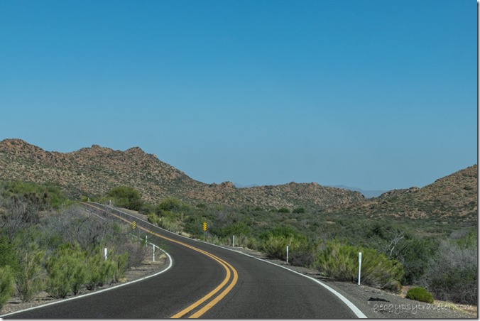
rd desert mts SR96 AZ

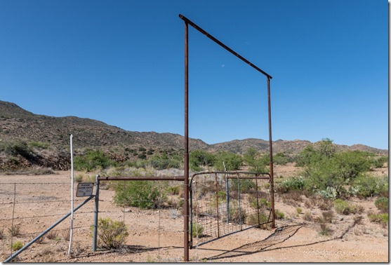
gate frames moon AZBack on pavement it was not long before a wide shoulder with a closed but not locked gate beckoned.  It appeared to be State Trust Land presumably “leased” to graze cattle. More about that in the video.

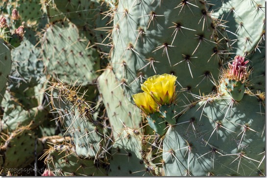
yellow Prickly Pear cactus flowers AZ

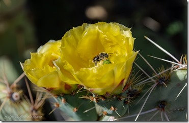
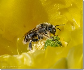
bee inside yellow Pickley Pear cactus flower SR96 AZbee inside yellow Pickley Pear cactus flower SR96 AZ

I was glad to see even sparse flowers on the Prickly Pear cactus though many were already gone.  Lots of pollinators doing their jobs.

cactus boulders SR96 AZ

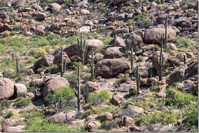
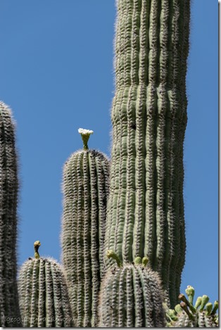
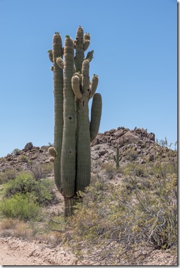
Saguaro cactus flowers & buds AZWe continued westward, downhill through a curvy canyon noting the limited shoulder parking for the return drive.  Certainly in Saguaro country and just starting to flower.

gravel rd AZ

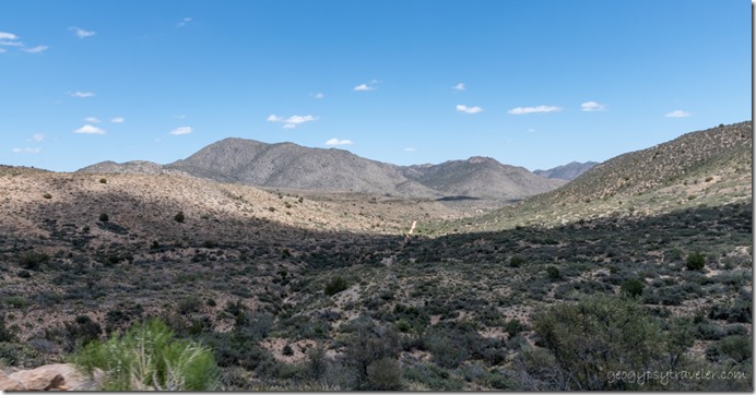
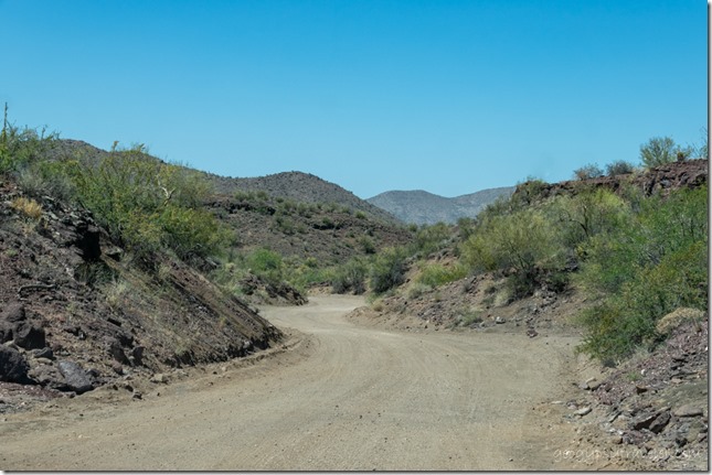
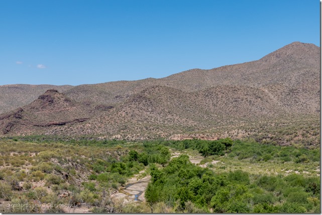
Santa Maria R AZAnother gravel sideroad drew us along 13 miles according to a sign, sometimes following the Santa Maria River/dry wash.  Almost turned around a couple times, but what’s just up ahead pulled us on.  Plus, even without looking at a map the direction would dump us onto a known highway.

broken windmill abandoned ranch Santa Maria R Rd AZSaguaro cactus buds Santa Maria R Rd AZ

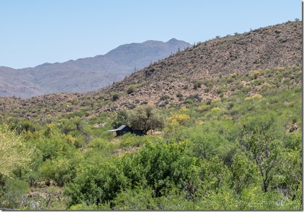
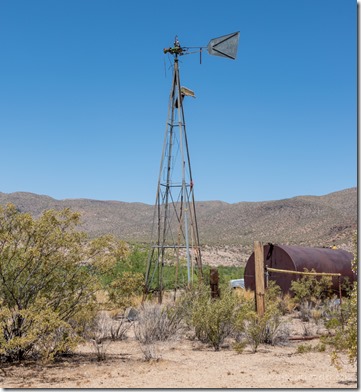
Stopped at an abandoned ranch which I included in the video and saw more Saguaros covered with buds but only a few flowers.  Just a little early.

valley below Bagdad AZValley below Bagdad

Sure enough, we ended up on US93 and went north a short ways then looped back to SR96 and took a left to Bagdad for lunch.

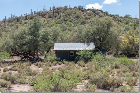
cabin AZ

abandoned house desert AZTurned around and closed the loop with an additional stop for yet another abandoned building (again in the video).

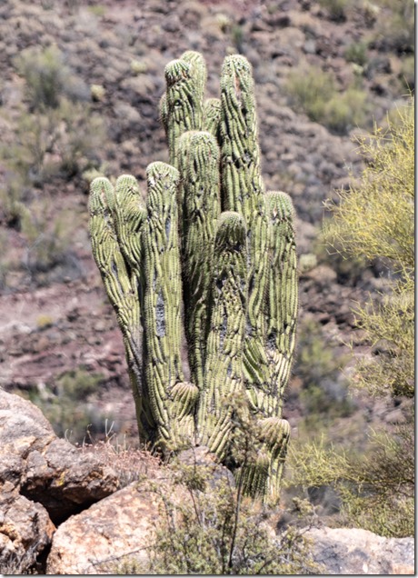
wrinkled Saguaro cactus SR96 AZOnce back on the road towards home, thought I saw a cristate or crested-like Saguaro.  Located high above the road without a good place to park I merely snapped a few quick shots.  Once the images were on the computer and I could zoom in an extremely wrinkled cactus appeared.  I was told by a Sonoran Desert Ranger friend it’s a wannabe cristate.

It took nine hours to cover 180 miles of fun and still had four days of play left to my week.

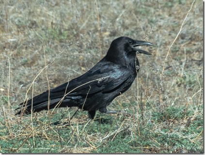
Raven bird walking Skull Valley AZI spent the entire next day playing with photos and making a video of the previous day’s adventure.

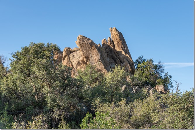
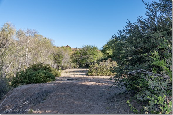
trees boulders Skull Valley AZHad to balance out all that sitting at the computer so dragged my butt out for another early morning walk.

meadow trees boulders Skull Valley AZGone for 1 1/2 hours and barely walked half a mile.  I feel a little guilty even calling it a walk.  Especially as I’ve been watching two friends walk the 500 mile Camino de Santiago.  But for me this is good.  It would take me a lifetime to walk that far.

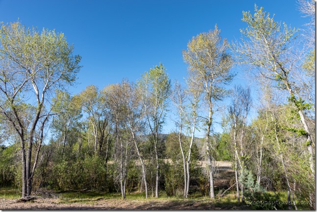
Cottonwoods Skull Valley AZWalked west through the gravel pit and to the big wash that had just a little bit of puddle water.

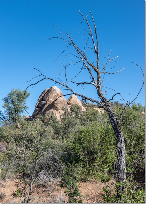
dead tree boulders Skull Valley AZOf course I took video and haven’t done anything with it, yet.  It’s an interesting balancing act carrying the big camera and using the phone for video, but I’m getting better at it.

Whiptail lizard Skull Valley AZWhiptail lizard

I am easily entertained by my window views and think I live in Lizard Land where there seems unlimited days to play.  So many different species.

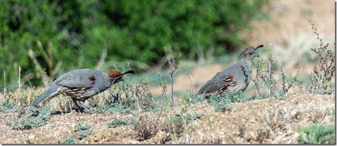
Gamble Quail birds Skull Valley AZThe Gamble Quail strut by every morning, and if not within sight of each other call back and forth, and back and forth, and…  Repeat that show in the late afternoon.  Could be a nest nearby but I haven’t seen any little ones.  I continue to dream about summer travel.  Yet may have to be content with days to play on the ranch.  It’s not a bad place to be.

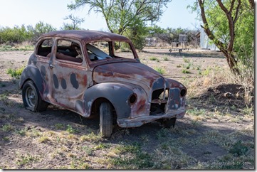
old car Skull Valley AZI know, I’m pushing the videos.  Trying hard to set some goals which include continued traveling on a limited Social Security income.  I didn’t plan for retirement because I figured I’d have to work until I die.  Seasonal employees for the National Park Service don’t earn retirement.  It was a trade off, but retirement reality is setting in.  I have skills and should be able to earn supplemental income doing what I love, travel, write, photograph, share stories, and now video.  So, I’ve taken on a new job called play.  And I’ll share more about that coming up.  In the meantime, I created another video introducing myself to the YouTube world.  And then ran out of days to play because it was Thursday, and you know what that means.  I didn’t make it two weeks between town runs because I HAD to get the laundry done.

Push my buttons!

  • Click to share on Facebook (Opens in new window) Facebook
  • Click to share on X (Opens in new window) X
  • Click to share on LinkedIn (Opens in new window) LinkedIn

Like this:

Like Loading...
Arizona, Bagdad, Kirkland, Places I've been, Skull Valley, United States abandoned ranches, birds, cactus, cristate, flowers, road trip 25 Comments
← Older posts

Hi, I’m Gaelyn, the Geogypsy

I retired after 29 summer seasons as a Park Ranger, traveling solo for 40+ years. My passions include travel, connecting to nature, photography, and sharing stories.

I started exploring US National Parks in 1977 and 20 years later became a seasonal Park Ranger.  I’ve lived full-time in a RV for 30 years working summers and playing winters.  I’m still trying to figure out what I want to be when I grow old, other than grow up.

Let’s share our stories.  Here’s more of mine…

My wheeleastate

I am currently…

…boondocking somewhere in southern Arizona.  In the area, give a shout.

Geogypsytraveler on YouTube

Follow my journey on YouTube. Just click the pic. Hope you’ll like, share, and subscribe.

Click image for 7 minute documentary (Password “geogypsy” lowercase)

Making the Gypsy documentary is a story of its own.  Click below for the rest of the story.

Living nomadically & connecting to nature documentary

Subscribe to Blog via Email

Enter your email address to subscribe to this blog and receive notifications of new posts by email.

Photos available for sale include prints, greeting cards, coffee mugs, tote bags, phone cases and more

Reflected Wave 24X16 metal print under $100

Custom Coffee Mugs

Many items to choose from including prints

The Last Blast 24 x 16″ metal print under $100

Need a signal boost? When I boondock on public lands sometimes signal is weak or intermittent and a booster helps. Click the pic to visit WeBoost.

Connecting to nature and the rest of the world too.

Please contact me for photo purchases not seen at GLOlmsted Photography

Order fulfillment is by Fine Art America. If you’re not happy with your purchase, for any reason, simply return it within 30 days, and you’ll receive a full refund of the purchase price.

Why read Geogypsy?

The gypsy life spring-summer 1998 - "You were a real pioneer. RV'ing before it was cool." ...Yogi

How do you process photos? - “Your photographs create an Emotional feeling in the viewer...that they become One with You.” …Cindy

Life’s transitions between travel and work play - "I know you love your job as much as you love travel -- it shines through all your posts." ...Sallie

Lions at Kruger National Park - “Wonderful post, thank you. I was hooked start to finish!” … Peter B

11 lessons looking back 2013 - “A great post -- made me think, made me smile, made me want to cry." ...Sallie

Wildlife video Kruger National Park - “Gorgeous, this makes me want to go straight to South Africa now.” … Ayngelina

Living nomadically & connecting to nature documentary - “What an experience you had and gave to the "crew." Sometimes I think you don't realize how unique and inspiring you are.” …Alan

Search

Popular Posts

1. Prioritize the well-being of nature over photography. 2. Educate yourself about the places you photograph. 3. Reflect on the possible impact of your actions. 4. Use discretion if sharing locations. 5. Know and follow rules and regulations. 6. Always follow Leave No Trace principles and strive to leave places better than you found them. 7. Actively promote and educate others about these principles

Categories

Archives

Sites I follow, read & recommend

  • A Full-time Life
  • A Yankee in Belgrade
  • Bob's Eyes
  • Box Canyon Blog
  • Camels and Chocolate
  • Dawns bloggy blog
  • In the Direction of Our Dreams
  • Jane in her infinite wisdom
  • Janie and Steve, Utah Trails
  • Kathie's Birds
  • Las Adventuras
  • Memorable Meanders
  • Oh, The Places They Go
  • On the Road Abode
  • Port Elizabeth Daily Photo
  • Stillhowlyntravels
  • Take to the Highway
  • Technomadia
  • the good luck Duck
  • Travel with the Bayfield Bunch
  • Wandering Earl
  • Wheeling It
  • Yogi's Den

Caught in a Slot 9×12 canvas print under $50

If you don’t like what’s going on in your government, contact your Congress

Directory of Senators

Directory of Representatives

Lijit

© Copyright 2008-2024. Geogypsytraveler.com
%d