I get asked all the time how I find free boondocking. It’s a process of planning.
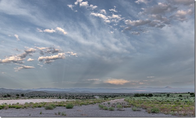 If you’ve followed me for any length of time you know I find free boondocking in some amazing places in the middle of absolutely nowhere (MOAN) with often expansive and spectacular views. I love all landscapes from desert, forest, beach, and mountains. Yet have discovered over my 46 years of RV traveling I really like distant views with something(s) in the foreground. So that’s what I look for. I don’t care for crowded RV Parks or campgrounds. Part of my experience includes listening to the sounds of the world around me.
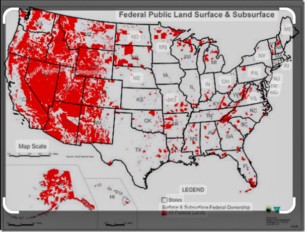 The USA has over 800 million acres of public land* and a lot of it is accessible and open to free boondocking. What is boondocking you ask? There is debate, but my personal definition means I’m not plugged in to any electricity ( I have adequate solar), water, or sewer—known as full-hookups—because there isn’t any. It’s free, and usually found in the middle of nowhere, rural, remote, and frequently off gravel roads. Dry camping, also without full-hookups, free or paid can happen in many places: rest areas—know the state’s laws—if self-contained and not a tent, some parking lots with permission, along streets if small enough to stealth and look like you belong there, campgrounds on public lands, edge of a RV park. Always look for signs and ask, be prepared for “the knock” while your sleeping then told to move. When in doubt, ask the source not your Aunt’s brother’s dog. If you’re looking at public land, there’s a government agency managing it, like BLM, FS, FWS, NPS, plus state and local governments. (Bureau of Land Management, Forest Service, Fish & Wildlife Service, National Park Service)
How I find free boondocking
I like to plan but am good with it not coming together because I include so many options. In fact my travel plans are usually way too lofty and long without a chance of including it all. But that’s OK, just means I can come back.
Know before you go, plan like a Park Ranger, be prepared for change, and be flexible
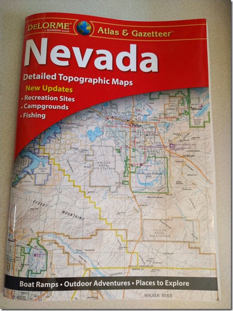 For example, when I left Utah after visiting friends I headed for Nevada. Having never been in central or northern Nevada before the first thing I did was check my map. Yes, an actual paper map, Nevada DeLemore Atlas and Gazetteer. I like to look at a bigger picture than my phone for possible roads and places to see. Plus there’s not always cell signal everywhere and when there is I take a screenshot of the information I need. Because I don’t typically stay in RV Parks or designated campgrounds I look for public lands, starting with my paper map I find the managing agency and look at their website for the area. Mostly that’s so I know their rules and if there’s any closures.
Next I check weather apps, National Weather Service, The Weather Channel, and Weather Bug. I like my temperatures about 70-80/40-50° with no huge storms coming in my direction. I also check for fire and smoke, never pleasant to camp near.
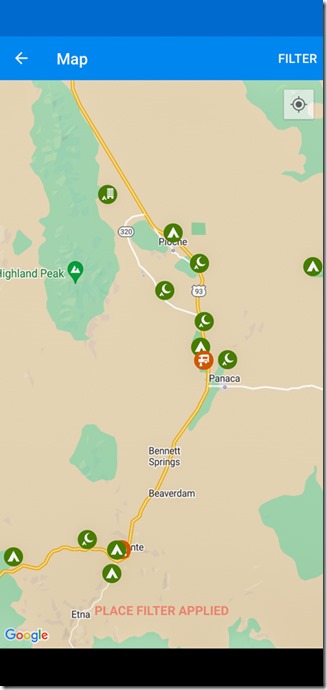 Then I go to camping apps like Campendium, FreeRoam, or mostly iOverlander to see what other people recommend in my chosen area. There are many other apps out there but a lot of them you have to pay for, and I’m a cheapskate.
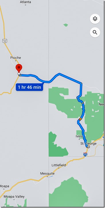 I often pin and save likely places on Google Maps app and usually take a screen shot of the directions. Finally, I sometimes go to Google Earth to really zoom in on a location to see landscape and maybe even road conditions. That doesn’t always work because it’s not in real time. If the road looks doubtful, don’t go there. Even with a high-clearance, non-4×4 pickup truck hauling a huge slide-in camper I often don’t go if roads look too rough. I will drive 3-5 miles of decent to washboard gravel roads, very slowly. When arriving at my chosen site that tends to be a side-road, I park and walk in to make sure it’s doable because I need overhead clearance and don’t like to backup too far. I usually have a backup plan for at least one other free boondocking site.
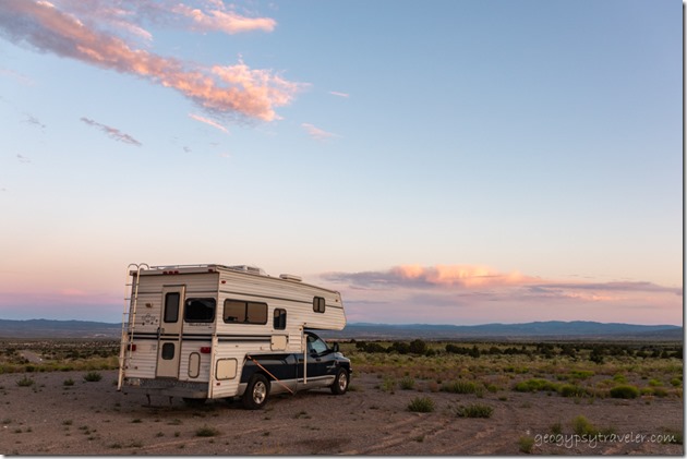 BTW, this free boondocking location will be revealed in the next blog post.
There’s beauty everywhere I go, and for me that doesn’t include cities, big towns, and interstate like highways. I’m a nature lover and find peace within the natural world.
*About 640 million acres managed by the federal government, about 28% from a total of 2.27 billion acres. 95% by BLM, FWS, NPS and FS. Another almost 200 million acres of public land not managed by the federal government, instead by state and local governments. The majority of public lands are located in Alaska and Western states.
