• Home
  • About Geogypsy
    • Herstory
    • Parks where I’ve worked
  • Places I’ve been
    • United States
      • Arizona
        • Antelope Slot Canyon
        • Casa Grande Ruins National Monument
        • Colossal Cave Mountain Park
        • Flagstaff
        • Glen Canyon National Recreation Area
        • Grand Canyon National Park
          • Grand Canyon National Park North Rim
          • Grand Canyon National Park South Rim
          • Toroweap
        • Havasu Canyon
        • Horseshoe Bend
        • Jerome
        • Kaibab National Forest
        • Lee’s Ferry
        • Meteor Crater
        • Navajo Bridge
        • Oak Creek Canyon
        • Painted Desert
        • Pipe Springs National Monument
        • Prescott
        • Quartzsite
        • Saguaro National Park
        • Sedona
        • Sunset Crater Volcano National Monument
        • Vermilion Cliffs
        • Walnut Canyon National Monument
        • Wupatki National Monument
        • Yarnell
      • California
        • Anzaberrego
        • Bakersfield
        • Death Valley National Park
        • Joshua Tree National Park
        • Redwoods NP
        • Salton Sea
        • Yucca Valley
      • Colorado
        • Mesa Verde National Park
      • Florida
      • Illinois
        • IL River
        • Morton Arboretum
        • Starved Rock State Park
      • Michigan
      • Nevada
      • New Mexico
      • Oregon
        • Crater Lake NP
        • Mt Hood
        • Oregon Caves National Monument
      • Texas
        • Alpine Texas
        • Padre Island
        • Port Isabel
        • Rio Grande Valley
      • Utah
        • Brian’s Head
        • Bryce Canyon National Park
        • Buckskin Gulch
        • Cedar Breaks National Monument
        • Cedar City
        • Coral Pink Sand Dunes State Park
        • Dixie National Forest
        • Grand Staircase Escalante National Monument
        • Johnson Canyon
        • Kanab
    • World Travels
      • Germany
      • Mexico
      • South Africa
  • Tours
  • Photography
  • Work with Me
    • Sponsors
  • Contact
Geogypsy
Menu
  • Home
  • About Geogypsy
    • Herstory
    • Parks where I’ve worked
  • Places I’ve been
    • United States
      • Arizona
        • Antelope Slot Canyon
        • Casa Grande Ruins National Monument
        • Colossal Cave Mountain Park
        • Flagstaff
        • Glen Canyon National Recreation Area
        • Grand Canyon National Park
          • Grand Canyon National Park North Rim
          • Grand Canyon National Park South Rim
          • Toroweap
        • Havasu Canyon
        • Horseshoe Bend
        • Jerome
        • Kaibab National Forest
        • Lee’s Ferry
        • Meteor Crater
        • Navajo Bridge
        • Oak Creek Canyon
        • Painted Desert
        • Pipe Springs National Monument
        • Prescott
        • Quartzsite
        • Saguaro National Park
        • Sedona
        • Sunset Crater Volcano National Monument
        • Vermilion Cliffs
        • Walnut Canyon National Monument
        • Wupatki National Monument
        • Yarnell
      • California
        • Anzaberrego
        • Bakersfield
        • Death Valley National Park
        • Joshua Tree National Park
        • Redwoods NP
        • Salton Sea
        • Yucca Valley
      • Colorado
        • Mesa Verde National Park
      • Florida
      • Illinois
        • IL River
        • Morton Arboretum
        • Starved Rock State Park
      • Michigan
      • Nevada
      • New Mexico
      • Oregon
        • Crater Lake NP
        • Mt Hood
        • Oregon Caves National Monument
      • Texas
        • Alpine Texas
        • Padre Island
        • Port Isabel
        • Rio Grande Valley
      • Utah
        • Brian’s Head
        • Bryce Canyon National Park
        • Buckskin Gulch
        • Cedar Breaks National Monument
        • Cedar City
        • Coral Pink Sand Dunes State Park
        • Dixie National Forest
        • Grand Staircase Escalante National Monument
        • Johnson Canyon
        • Kanab
    • World Travels
      • Germany
      • Mexico
      • South Africa
  • Tours
  • Photography
  • Work with Me
    • Sponsors
  • Contact

Tag: boondocking

19 January 2023

Plans to watch the moon over Cargo Muchacho Mountains

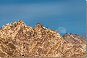
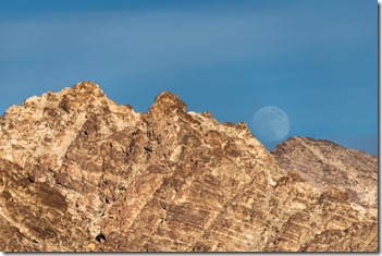
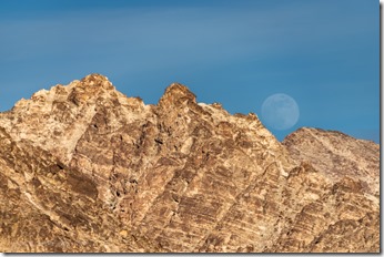
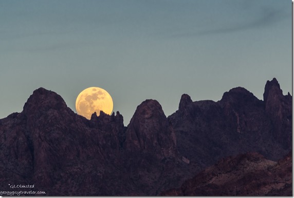
moon rise Cargo Muchacho Mts BLM Tumco CAI made plans to watch the moon over Cargo Muchacho Mountains, and went to town preparing for a couple busy days with company, followed by down days making plans for the next move.
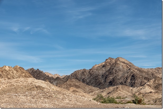
Cargo Muchacho Mts BLM Tumco CASomething I’ve noticed in only one year of retirement is my lack of making plans.  There’s no work schedule to dictate up to 40 hours a week or more.  Meeting basic needs while RV boondocking becomes my main reason to make plans.  Sure glad my needs are minimal and can be met in this desert/mountain environment near Yuma, Arizona.

moon rise Cargo Muchacho Mts BLM Tumco CAmoon rise Cargo Muchacho Mts BLM Tumco CA

moon rise Cargo Muchacho Mts BLM Tumco CAmoon rise Cargo Muchacho Mts BLM Tumco CA

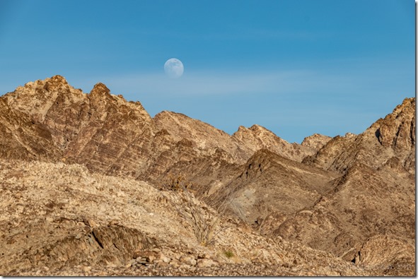
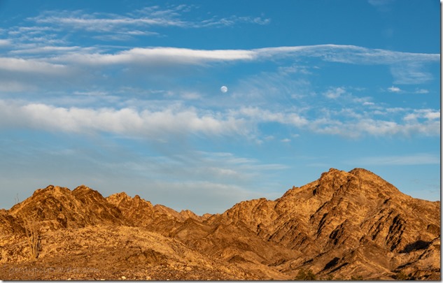
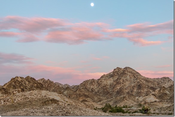
I find myself making plans to watch the moon many days ahead of an actual full moon rise.  Using PhotoPills and the Photographer’s Ephemeris plus a compass I try to figure out approximately where the moon will rise over the horizon.
moon rise Cargo Muchacho Mts BLM Tumco CA

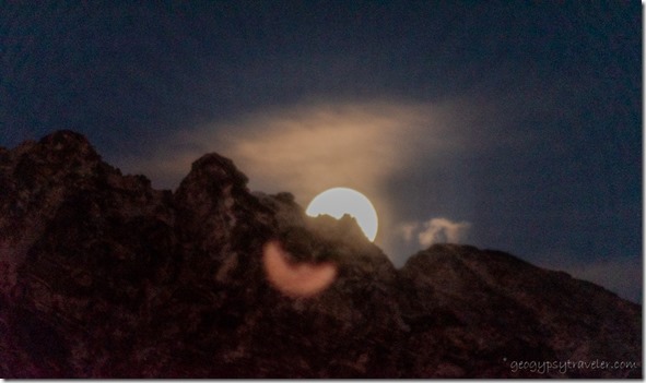
moon rise Cargo Muchacho Mts BLM Tumco CAI do like the jagged line of mountains in the foreground which means the actual time the moon crests a peak/ridge will be later than a low horizon line.
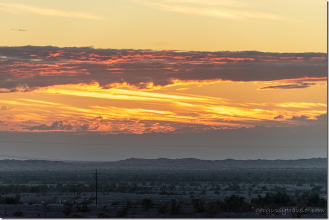
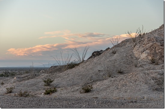
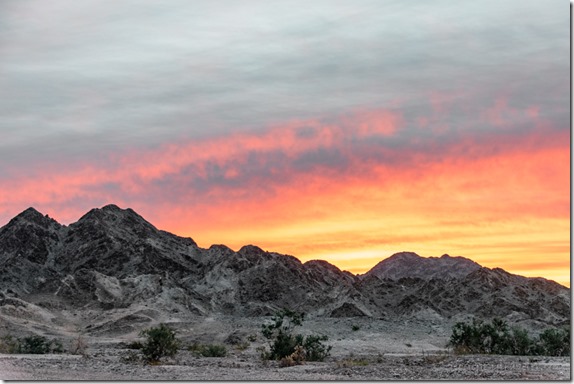
Ocotillo sunset clouds Cargo Muchacho Mts BLM Tumco CA

sunset clouds Cargo Muchacho Mts BLM Tumco CAI also tend to shoot several days before the 100% full moon as that puts the rise before, during, or soon after sunset providing ambient light.  Then lazy me doesn’t dig out the tripod and just shoots hand-held.  Those plans worked pretty well two days before the full moon.  And with sunsets.
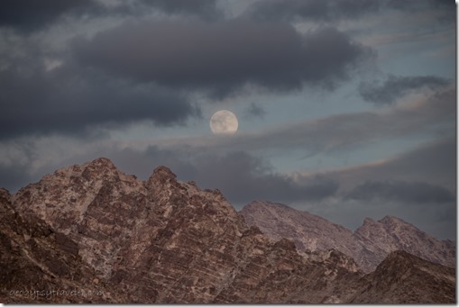
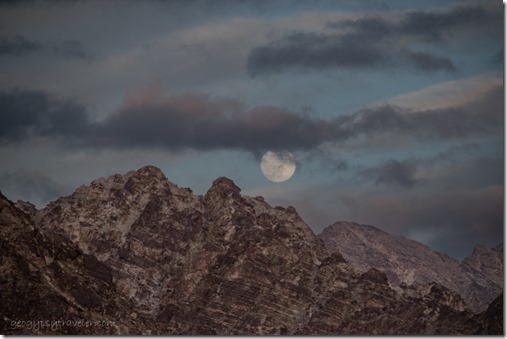
mts moon clouds Cargo Muchacho Mts BLM Tumco CA

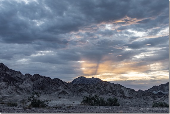
mts moon clouds Cargo Muchacho Mts BLM Tumco CAClouds and a chill wind from the southern edge of that huge storm over California made for eerie skies.  Clouds do make for colorful sunsets but also changed the plans to watch the moon the next night.
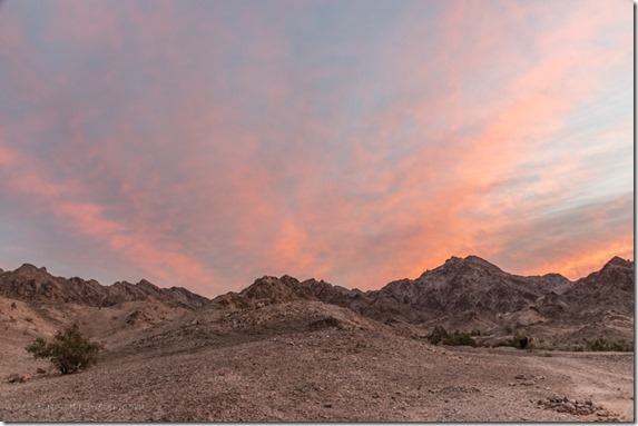
mts sunrise clouds Cargo Muchacho Mts BLM Tumco CA

desert mts sunrise Cargo Muchacho Mts BLM Tumco CAWith plans to shop in Yuma, I was up early enough the next day for a rewarding sunrise.
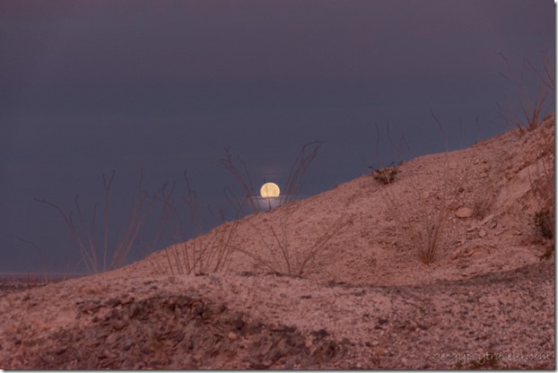
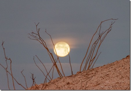
Ocotillo moon set Cargo Muchacho Mts BLM Tumco CA

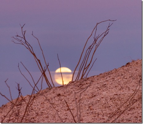
Ocotillo moon set Cargo Muchacho Mts BLM Tumco CAI had no plans to watch the moon set yet was lucky enough for mostly clear views behind the spray of Ocotillo branches.
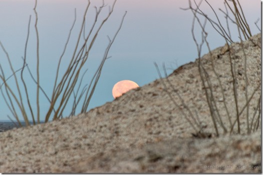
Ocotillo moon set Cargo Muchacho Mts BLM Tumco CA

Ocotillo moon set Cargo Muchacho Mts BLM Tumco CATown tends to be a full day.  I made plans to run errands on the west side of town, actually mapping out the route—propane, post office, dump tanks, and shop—before visiting with Joann including a nice long hot shower and she super spoiled me with home-made soup.
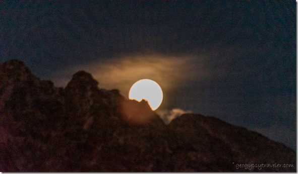
moon rise Cargo Muchacho Mts BLM Tumco CA

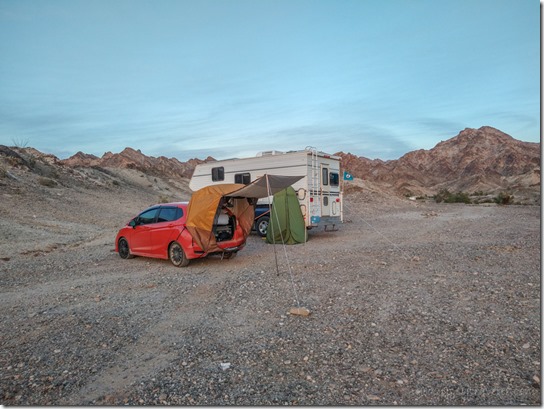
moon rise Cargo Muchacho Mts BLM Tumco CAWith plans to watch the moon in full, I barely made it back to camp at dusk and was too tired to put up the tripod.  My company arrived after dark.  They had driven from Santa Barbra, California, a minimum six hour drive, and left just ahead of the storms.
camp rigs BLM Cargo Muchacho Mts Tumco CA

sign Center of the World Felicity CA

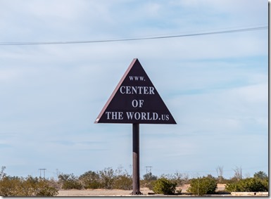
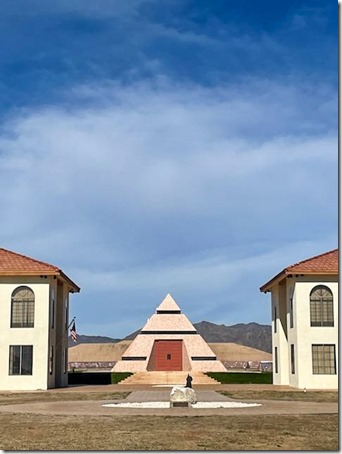
pyramid Center of the World Felicity CAWe made plans over a friendly bacon and eggs breakfast in my camper.  They refitted the car they were camped in and we took a drive to the Center of the World.  Which is located only about 12 miles away so I figure that includes me.
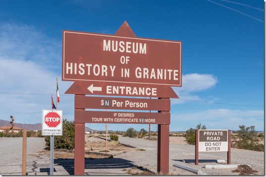
sign Museum of History in Granite Center of the World Felicity CA

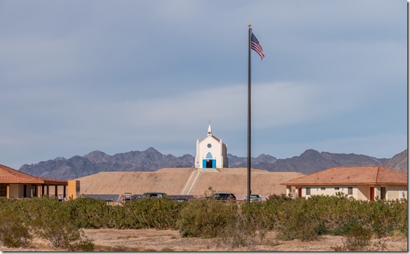
church Center of the World Felicity CAOnce there, we opted out of the $7/person fee even though the Museum of History in Granite had been recommended.  If there’s a vortex at the center of the world, I didn’t feel anything.
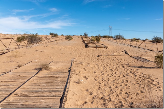
Plank Rd Historic Site Imperial Sand Dunes CAWe also visited the historic Plank Road.  Imagine the drive from San Diego to Yuma trying to cross six miles of up to 300 foot tall sand dunes in an early 1900s automobile.  No 4-wheel drive back then.
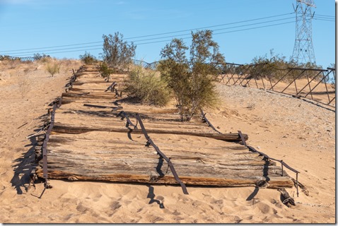
Plank Rd Historic Site Imperial Sand Dunes CAIn 1915 the plank road was built by placing 8×12 foot sections of boards held together with metal and bolts and set end to end across the sand.  Traffic was one way so every 1000 feet an extra section was set in width to allow for passing.  Wind blown sand would obliterate the road and horses were used to scrape the sand and reposition the sections.  Finally, in 1926 a paved road was built, now Interstate 8, and the plank road was abandoned.  In the 1970s a group of people formed and preserved 1500 feet as a historic landmark.
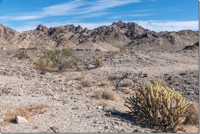
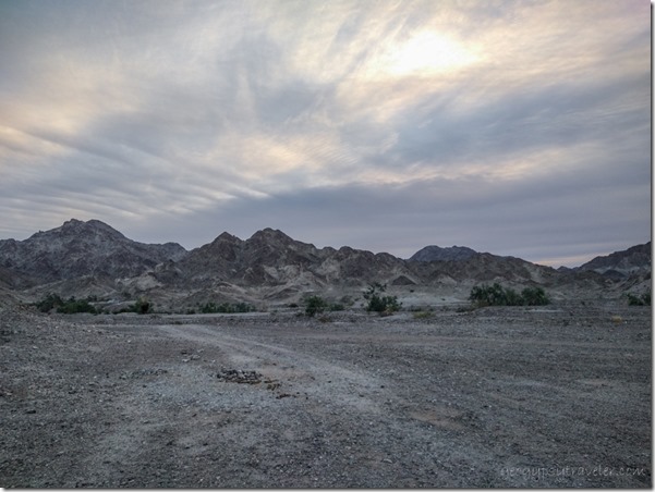
Cargo Muchacho Mts BLM Tumco CAThe next day our plans included taking a walk into the Cargo Muchacho Mountains.
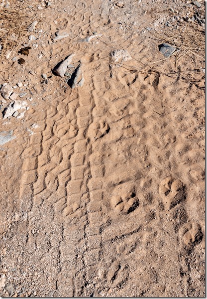
tracks Cargo Muchacho Mts BLM Tumco CA

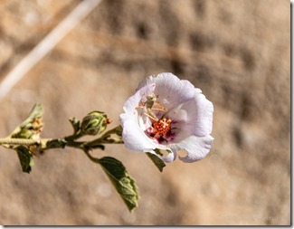
grasshopper white Mallow flower Cargo Muchacho Mts BLM Tumco CAThe 1 1/2 mile loop took us a couple hours as we looked at the view, rocks, lots of animal tracks that looked like bobcat and deer to me, and a lone mallow with a tiny grasshopper inside.  It’s so nice to find folks that like to walk as slow as I do.
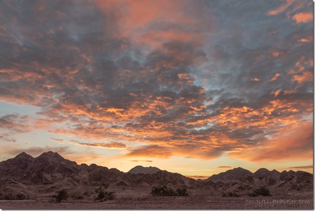
sunrise clouds BLM Cargo Muchacho Mts Tumco CAThey left early Monday for the uncertain drive to Santa Barbra and ended up in a hotel in Ventura because of flooding and closures on 101.  Safe is good and more important than the plans made to be home that day.
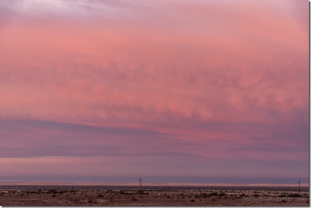
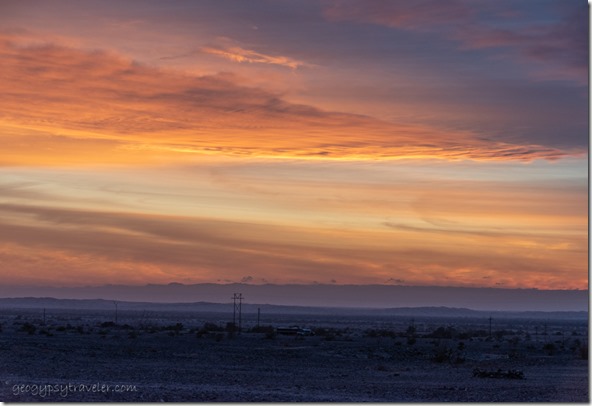
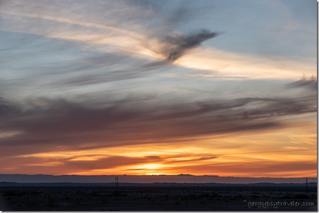
sunrise clouds BLM Cargo Muchacho Mts Tumco CALucky me, stayed home with no plans.  A down day, and pretty sunset.
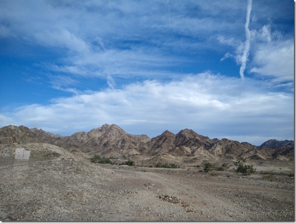
sunrise clouds BLM Cargo Muchacho Mts Tumco CA

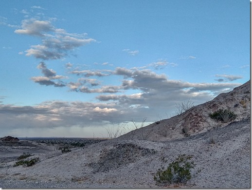
clouds BLM Cargo Muchacho Mts Tumco CAThe next day wind blew the clouds into ever changing window displays for my entertainment.
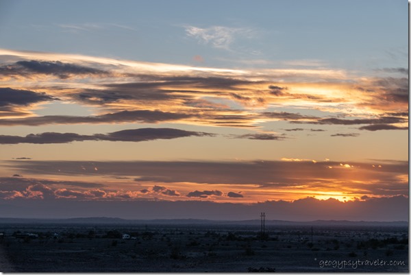
sunset clouds BLM Cargo Muchacho Mts Tumco CAI started making plans for my next move to the Quartzsite area.  But no rush, I didn’t figure on leaving the Cargo Muchacho Mountains for another week.  (Blog posts are always a week or two behind real time.)  And by then, I’ll be making plans to watch the moon over the Kofa Mountains.

————————————————————————————————–
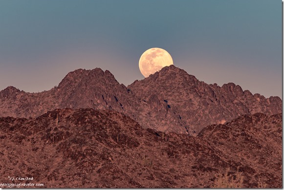
New Water Mts full moon rise MST&T Rd BLM Kofa NWR AZYou might recognize this shot from the 2022 Geogypsy calendar

Speaking of full moons, I plan to be at Kofa National Wildlife Refuge for February’s full moon.  Join me for this Geogypsy Journey, Sharing the Kofa Light February 2-6.  From morning to moon, early February light dances with the Kofa Mountains located south of Quartzsite, Arizona.  Join me to explore the Sonoran Desert life, geology, and history. RV/camp for free on BLM public land adjacent to the Kofa National Wildlife Refuge.  More information here.

2022 Sharing the Kofa Light

Push my buttons!

  • Facebook
  • Twitter
  • LinkedIn

Like this:

Like Loading...
California, Cargo Muchacho Mts boondocking, Center of the World, friends, Plank Road, sand dunes 20 Comments
11 January 2023

Greeting the new year Cargo Muchacho Mountains boondock

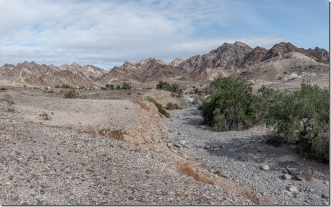
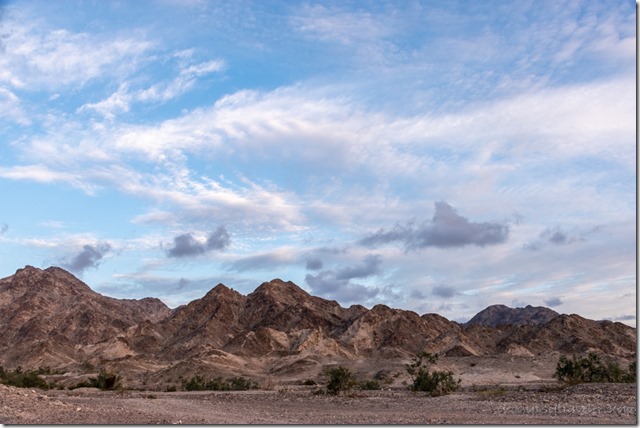
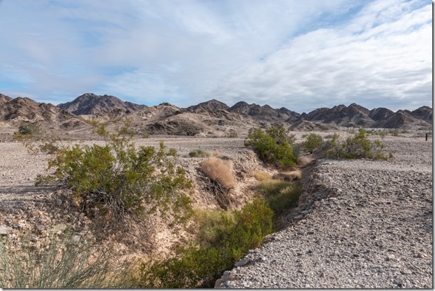
dry wash mts clouds Cargo Muchacho Mts BLM Tumco CAIt’s been cloudy with intermittent blue sky over the Cargo Muchacho Mountains where I’ve taken a few walks exploring the terrain.

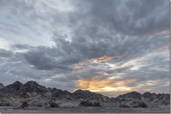
desert mts sunrise clouds Cargo Muchacho Mts BLM Tumco CAI love winter in the warm Southwest because I frequently wake up in time for sunrise.  Clouds certainly enhance that morning experience but usually mean there’s some weather on the way.

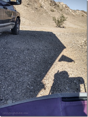
Gaelyn camper flag shadow BLM Tumco CAThe overnight rain was predicted to last all day but instead the sky cleared and I sat outside.

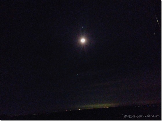
possible moon planets alignment BLM Tumco CAThat night I kind of tried to shoot the alignment of planets using the cell phone as I was too lazy to get the tripod out for the big camera.

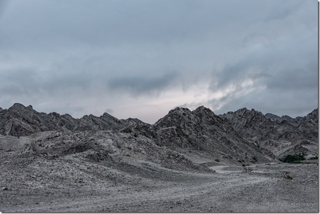
rd mts first light clouds Cargo Muchacho Mts BLM Tumco CA

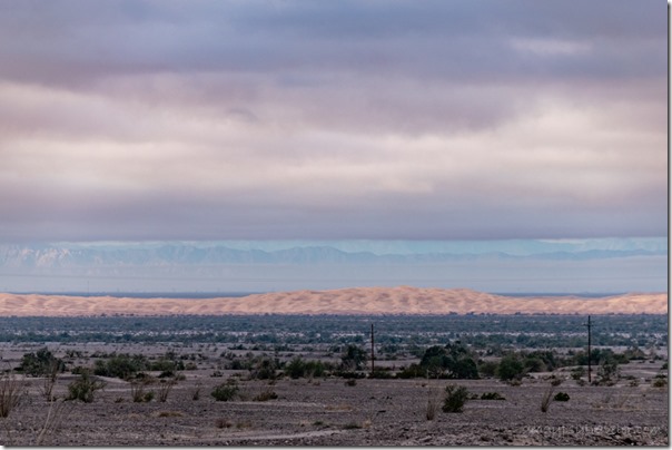
desert dunes snow on mts clouds BLM Tumco CAMorning light on Imperial Sand Dunes and snow on distant mountains

The next day was also cloudy over the the Cargo Muchacho Mountains with high wind that did open up a bit through the day but pretty much kept me inside.

desert mts sunset clouds Cargo Muchacho Mts BLM Tumco CA

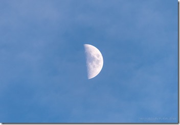
waxing moon BLM Tumco CATurned into a day of musing.  I thought about going to town being almost out of ice cream.  But I didn’t have the gumption to move.  Instead I spent a bit of the day dreaming of summer travels.  I’ve been trying to revisit the Pacific Northwest for over ten years.  Last summer’s trip that didn’t happen would have included that and beyond if the fuel prices hasn’t gotten so high.  I’m thinking north on the east side of the Cascade Mountains and back south down the Pacific coast visiting people, exploring hot springs and rockhounding along the way.

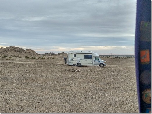
too close RV BLM Cargo Muchacho Mts Tumco CAWindow view

In the afternoon an RV pulled in and became a new neighbor parking, where I think, too close.  There’s not many people camped out here so there’s lots of room around the Cargo Muchacho Mountains.  My general boondocking rule includes parking at least 1000 feet apart when possible.  Out of sight is even better.

fog Cargo Muchacho Mts BLM Tumco CA

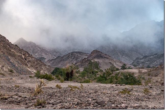
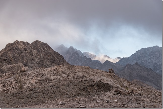
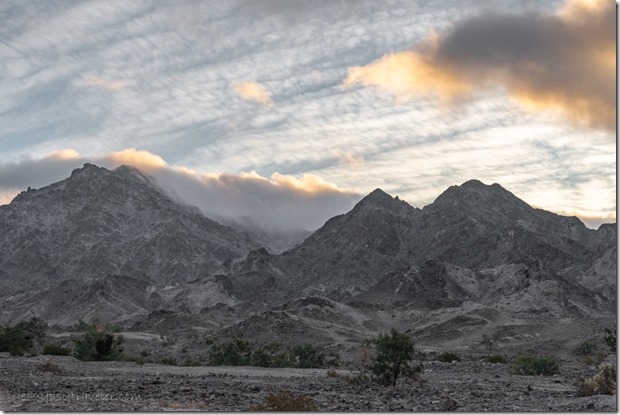
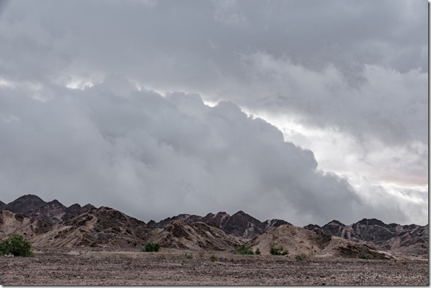
low clouds Cargo Muchacho Mts BLM Tumco CAFriday morning brought fog and low clouds with 98% humidity.

clouds Cargo Muchacho Mts BLM Tumco CA

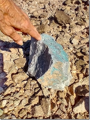
chrysocolla rock Cargo Muchacho Mts BLM Tumco CAYet it cleared enough later for a lovely walk into the Cargo Muchacho Mountains where I saw some pretty rock.  Most likely chrysocolla but I keep looking for turquoise, or gold.

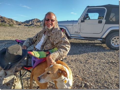
Doug & Yuma BLM Cargo Muchacho Mts Tumco CALong time friend and fellow blogger Doug stopped by with his dog Yuma and we caught up.  They’ve been camped nearby.

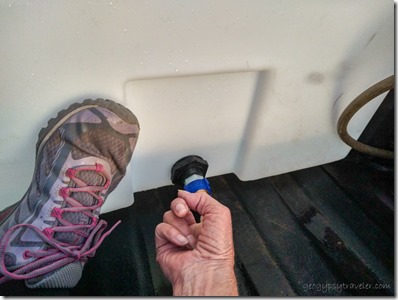
Gaelyn finger holding water for Dean BLM Tumco CAA neighbor went to town and picked me up some ice cream.  That saved me from having to move until next year.  Upon his return he offered to fill my empty water jugs from the 100 gallon tank in the bed of his pickup truck.  Sadly, the spare tire had fallen on and broke the spigot so there wasn’t much water left in the tank.  I tried to help while he found a cap and felt like the Dutch boy with my finger in the dike.  I actually ended up giving him a gallon of water for the night.

sunrise clouds Cargo Muchacho Mts BLM Tumco CASunrise

He returned to town the next day to replace the spigot and filled my water jugs after returning to camp.

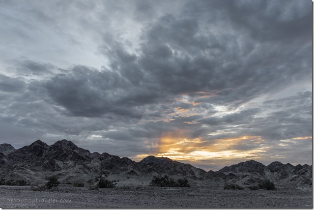
sunset clouds Cargo Muchacho Mts BLM Tumco CA

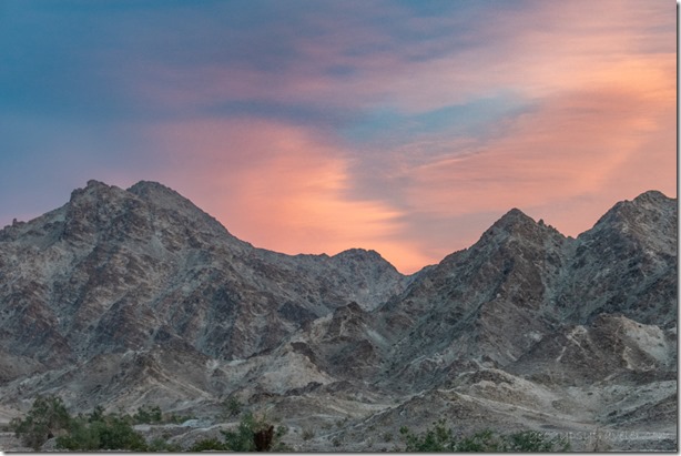
sunset clouds Cargo Muchacho Mts BLM Tumco CASunset

The last day of 2022 was a stay home day.

SierraWe went to bed long before midnight.

mts clouds BLM Cargo Muchacho Mts Tumco CAFirst morning of 2023 brought light rain that either cleared off or was blown away by the 30mph wind that rocked the camper all day long.  I barely got out the door to put away the chairs and table before they ended up on top of the Cargo Muchacho Mountains.  I waited for a brief lull to get back inside.

Ocotillo sunrise clouds BLM Cargo Muchacho Mts Tumco CAEven with most of the clouds gone later, the western horizon was obliterated by a sandy haze.  I made a video through multiple windows greeting the New Year.

sunrise clouds Cargo Muchacho Mts BLM Tumco CA

reverse sunrise clouds Cargo Muchacho Mts BLM Tumco CAThe next day, no wind and a pretty sunrise.  A boondocking neighbor had to call an ambulance for a visiting friend who got sick.  Basically they were dehydrated and got a saline drip.  Glad it was nothing more serious.  Nice to know emergency vehicles can find us in these remote areas.  All campers within sight came together to offer assistance if needed.

dry wash mts clouds Cargo Muchacho Mts BLM Tumco CA

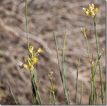
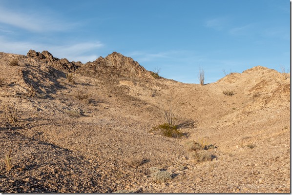
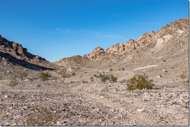
moth on yellow flowers Cargo Muchacho Mts BLM Tumco CAFinally, the third day of the new year I got out for a walk.  I had in mind to find a different place to park without the too close neighbor.  I followed a large wash that might give options for wildlife, or at least some birds.

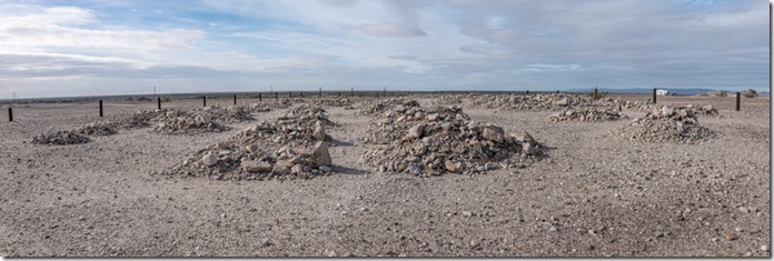
fenced Hedges cemetery Tumco CABut even though access was good it’s right next to the fenced cemetery and I didn’t feel comfortable with that.  Cemeteries don’t bother me but I figured people would want to visit it so might get traffic.

valley Cargo Muchacho Mts BLM Tumco CAI decided to stay in the same site for the full moon rise over the Cargo Muchacho Mountains though it seemed a good possibility clouds might obscure the view.

———————————————————————–

Kofa Mts moon rise Kofa NWR AZSpeaking of full moons, I plan to be at Kofa National Wildlife Refuge for February’s full moon.  Join me for this Geogypsy Journey Tour, Sharing the Kofa Light February 2-6.  From morning to moon, early February light dances with the Kofa Mountains located south of Quartzsite, Arizona.  Join me to explore the Sonoran Desert life, geology, and history. RV/camp for free on BLM public land adjacent to the Kofa National Wildlife Refuge.  More information here.
2022 Sharing the Kofa Light

Push my buttons!

  • Facebook
  • Twitter
  • LinkedIn

Like this:

Like Loading...
California, Cargo Muchacho Mts, Places I've been, United States boondocking, full moon, new year 12 Comments
03 January 2023

Exploring the Cargo Muchacho Mountains

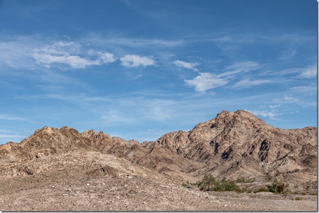
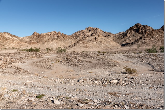
Cargo Muchacho Mts clouds Tumco CAIt’s not terribly crowded on this BLM boondock along the southern feet of the Cargo Muchacho Mountains, don’t tell anybody, but I happily share the view with a few distant neighbors and when the weather permits I walk, sometimes discovering flowers, rocks, and animal tracks.

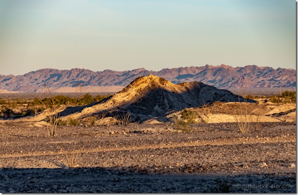
morning shadows Cargo Muchacho Mts Tumco CANothing wrong with my last camp along American Girl Mine Road, but after running errands in Yuma I opted to be closer to the rugged Cargo Muchacho Mountains so drove further north on Ogilby Road and followed a typical two-track not far beyond Tumco, the historic mining town site.
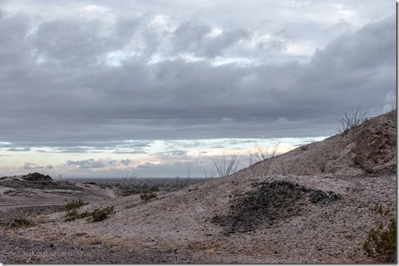
horse head shadow Cargo Muchacho Mts Tumco CAHorse head shadow

Sadly my first choice for camp had very iffy signal so I moved a bit but it still didn’t improve.  I truly liked the view enough to suffer that for another day and took a couple short walks.  Also walked back up the road a bit around the tip of a small ridge and found better signal that might also block some of the typical northern winter winds.
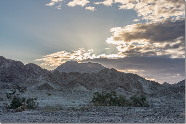
BLM Cargo Muchacho Mts Tumco CASo I moved the next day and was able to post on the blog and upload the video about Mexico.  And of course still had a beautiful view of the Cargo Muchacho Mountains.

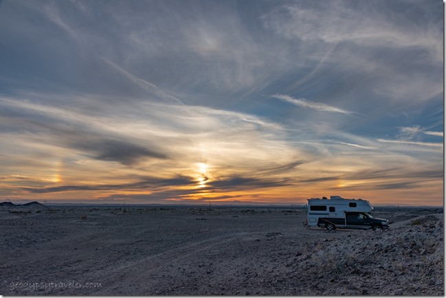
truckcamper sundogs BLM Cargo Muchacho Mts Tumco CA

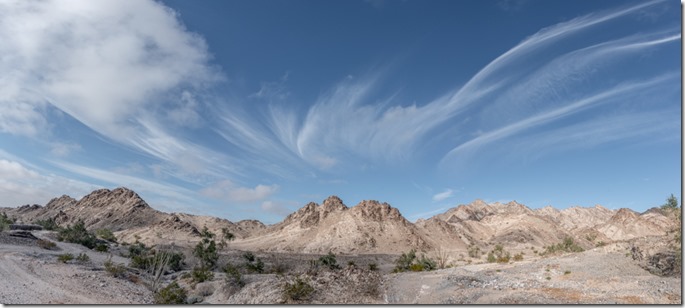
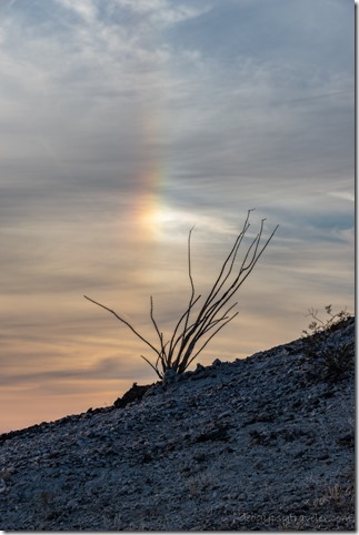
Ocotillo sundog BLM Cargo Muchacho Mts Tumco CAThat afternoon high cirrus clouds showed sundogs to both sides of the sun.

sunset clouds BLM Cargo Muchacho Mts Tumco CA

sunset clouds BLM Cargo Muchacho Mts Tumco CA

sunset clouds BLM Cargo Muchacho Mts Tumco CA

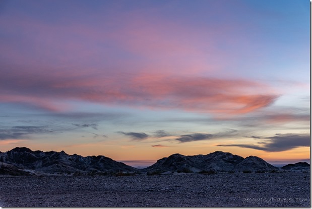
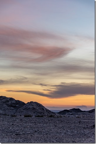
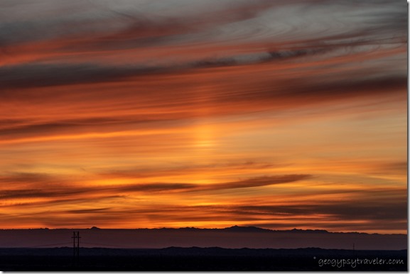
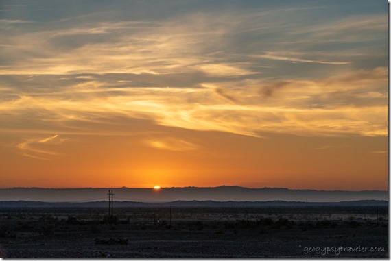
sunset clouds sun pillar BLM Cargo Muchacho Mts Tumco CAFollowed by an outstanding sunset that I took far too many photos of and ended with a pillar of light.  I figure these are all good signs for a well chosen camp.

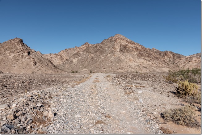
rd desert Cargo Muchacho Mts Tumco CAA 73° day with barely a breeze called me out for a walk.  I generally just follow the two-track roads that 4x4s and OHVs use then wander off to attractive sights.

rd desert Cargo Muchacho Mts Tumco CAMany side roads also look inviting yet can be saved for another day.

Ocotillo desert Cargo Muchacho Mts Tumco CA

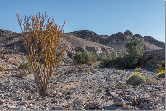
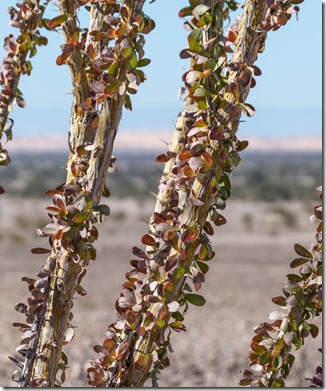
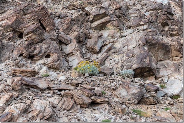
colorful Ocotillo leaves Cargo Muchacho Mts Tumco CAThe road often crosses boulder strewn dry washes where the vegetation is found.  Sunshine highlights the fall colored leaves of Ocotillo and the still flowering Brittlebush.

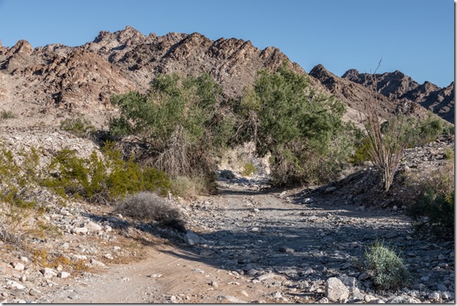
rd desert trees wash Cargo Muchacho Mts Tumco CASometimes the wash is the road.

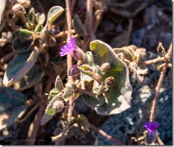
unidentified tiny purple flowers Tumco CATiny purple flowers caught my eye.

aluvial fan desert Cargo Muchacho Mts Tumco CA

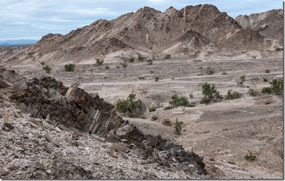
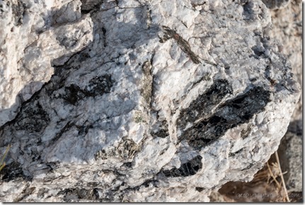
rock Cargo Muchacho Mts Tumco CAAmazing rock washes down from the Cargo Muchacho Mountains.  Lots of quarts with mineral inclusions.

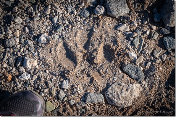
maybe cougar track Cargo Muchacho Mts Tumco CAI am always looking for signs of wildlife and have barely seen anything including birds in this dry environment.  This track got my attention.  Note the size compared to my shoe and lack of claw marks which makes me think a cougar walked this way.  I didn’t see any more tracks in the rocky wash.  A rare animal to actually see in the wild yet we are likely to be seen by it.

sunset clouds Cargo Muchacho Mts BLM Tumco CAI only walked a mile round trip but was gone for more than two hours.  That’s the way I stroll.

Christmas eve’s 76° drew me outside to read in the sunshine.  Later in the day a neighbor came over and we shared little treats as we shared our herstories.  I took no photos that day.  That evening, I heard from a friend that a mutual high school friend had passed away.  We had both dated John at different times in our lives.  I know that getting older means loosing more people.  Not easy, yet reminds me how precious this journey called life really is.

elf on xmas treeSo on an almost 80° Christmas day I sat outside and reflected on life.  Wish I could report some epiphany, but basically I just sat and watched the world go by.  I did post a Christmas video made with one of Joann’s puppets.

Brittlebush flowers rock Cargo Muchacho Mts BLM Tumco CAThe following day was also warm.  Another short walk along a different road into the Cargo Muchacho Mountains took me past a neighbor with a delightfully friendly dog named Kofa.  Seeing what looked like a covered telescope I asked and the cover came off in a flash.  This neighbor is an astrophotographer and shared some examples of his images.  WOW!!  Think I’ll stick to the moon.

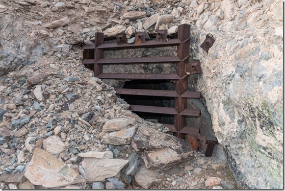
bat gate over mine shaft Cargo Muchacho Mts BLM Tumco CAGatee over mine opening allows bats through b

And what I see along life’s way.

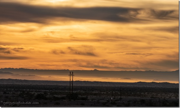
wind blown sunset clouds dunes mts Cargo Muchacho Mts BLM Tumco CAPlus sunsets.

desert mts sunrise clouds Cargo Muchacho Mts BLM Tumco CA

desert mts sunrise clouds Cargo Muchacho Mts BLM Tumco CAAnd sometimes sunrises.  The clouds hung out most of the day and thickened towards evening along with an increase of wind.  Prediction for that night and next day was rain.  That would curtail more exploring at least for a few days.


Push my buttons!

  • Facebook
  • Twitter
  • LinkedIn

Like this:

Like Loading...
California, Cargo Muchacho Mts, Places I've been, United States boondocking, cougar track, desert, rockhound 26 Comments
← Older posts
Newer posts →

Hi, I’m Gaelyn, the Geogypsy

I retired after 29 summer seasons as a Park Ranger, traveling solo for 40+ years. My passions include travel, connecting to nature, photography, and sharing stories.

I started exploring US National Parks in 1977 and 20 years later became a seasonal Park Ranger.  I’ve lived full-time in a RV for 30 years working summers and playing winters.  I’m still trying to figure out what I want to be when I grow old, other than grow up.

Let’s share our stories.  Here’s more of mine…

My wheeleastate

I am currently…

…boondocking somewhere in southern Arizona.  In the area, give a shout.

Geogypsytraveler on YouTube

Follow my journey on YouTube. Just click the pic. Hope you’ll like, share, and subscribe.

Click image for 7 minute documentary (Password “geogypsy” lowercase)

Making the Gypsy documentary is a story of its own.  Click below for the rest of the story.

Living nomadically & connecting to nature documentary

Subscribe to Blog via Email

Enter your email address to subscribe to this blog and receive notifications of new posts by email.

Photos available for sale include prints, greeting cards, coffee mugs, tote bags, phone cases and more

Reflected Wave 24X16 metal print under $100

Custom Coffee Mugs

Many items to choose from including prints

The Last Blast 24 x 16″ metal print under $100

Need a signal boost? When I boondock on public lands sometimes signal is weak or intermittent and a booster helps. Click the pic to visit WeBoost.

Connecting to nature and the rest of the world too.

Please contact me for photo purchases not seen at GLOlmsted Photography

Order fulfillment is by Fine Art America. If you’re not happy with your purchase, for any reason, simply return it within 30 days, and you’ll receive a full refund of the purchase price.

Why read Geogypsy?

The gypsy life spring-summer 1998 - "You were a real pioneer. RV'ing before it was cool." ...Yogi

How do you process photos? - “Your photographs create an Emotional feeling in the viewer...that they become One with You.” …Cindy

Life’s transitions between travel and work play - "I know you love your job as much as you love travel -- it shines through all your posts." ...Sallie

Lions at Kruger National Park - “Wonderful post, thank you. I was hooked start to finish!” … Peter B

11 lessons looking back 2013 - “A great post -- made me think, made me smile, made me want to cry." ...Sallie

Wildlife video Kruger National Park - “Gorgeous, this makes me want to go straight to South Africa now.” … Ayngelina

Living nomadically & connecting to nature documentary - “What an experience you had and gave to the "crew." Sometimes I think you don't realize how unique and inspiring you are.” …Alan

Search

Popular Posts

1. Prioritize the well-being of nature over photography. 2. Educate yourself about the places you photograph. 3. Reflect on the possible impact of your actions. 4. Use discretion if sharing locations. 5. Know and follow rules and regulations. 6. Always follow Leave No Trace principles and strive to leave places better than you found them. 7. Actively promote and educate others about these principles

Categories

Archives

Sites I follow, read & recommend

  • A Full-time Life
  • A Yankee in Belgrade
  • Bob's Eyes
  • Box Canyon Blog
  • Camels and Chocolate
  • Dawns bloggy blog
  • In the Direction of Our Dreams
  • Jane in her infinite wisdom
  • Janie and Steve, Utah Trails
  • Kathie's Birds
  • Las Adventuras
  • Memorable Meanders
  • Oh, The Places They Go
  • On the Road Abode
  • Port Elizabeth Daily Photo
  • Stillhowlyntravels
  • Take to the Highway
  • Technomadia
  • the good luck Duck
  • Travel with the Bayfield Bunch
  • Wandering Earl
  • Wheeling It
  • Yogi's Den

Caught in a Slot 9×12 canvas print under $50

If you don’t like what’s going on in your government, contact your Congress

Directory of Senators

Directory of Representatives

Lijit

© Copyright 2008-2024. Geogypsytraveler.com
%d