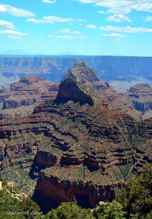
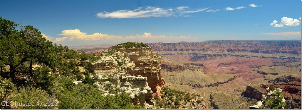
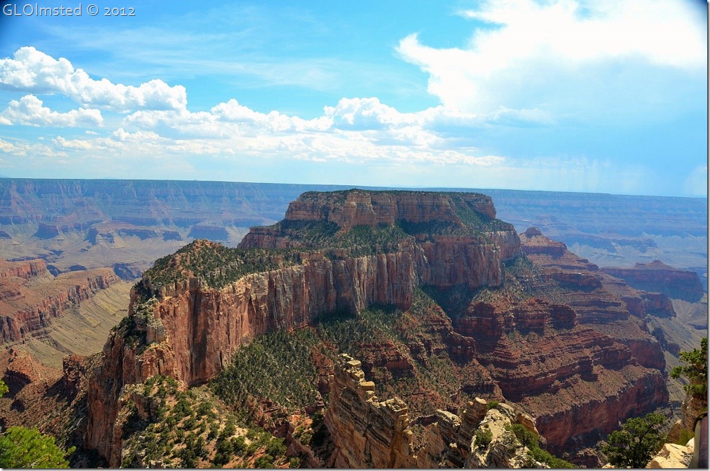
 Cliff Spring trail leads into an intimate side canyon with several hundred feet drop in elevation in just under half a mile through forest and past upper canyon walls.
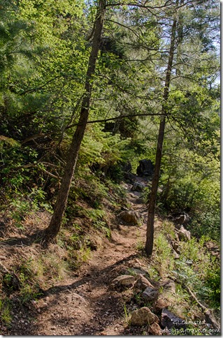
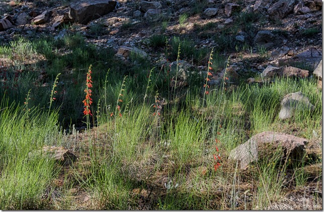 On a warm June day the Ponderosa Pine offered shade as I started downhill on the Cliff Spring trail. The forest looked open and park-like with tall grass and lovely firecracker penstemon scattered about the forest floor.
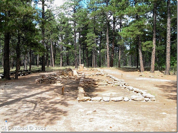
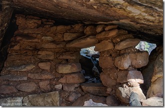 Several large rocks along the trail provided a perfect place for Ancestral Puebloan people to build a granary, or food storage area sort of like our pantry. Sealed clay pots with winter’s food supply and spring’s seed would have been stored in the protected area. The Walhalla Plateau where Cliff Spring trail is located has over 400 documented archeological sites from summer occupation 1165 – 820 years ago.
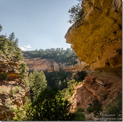
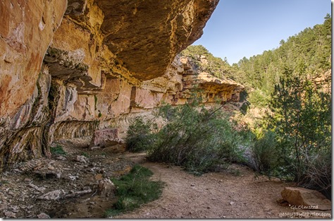
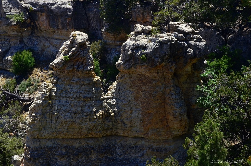
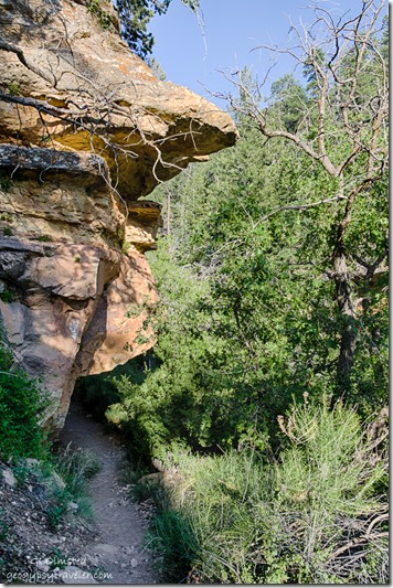
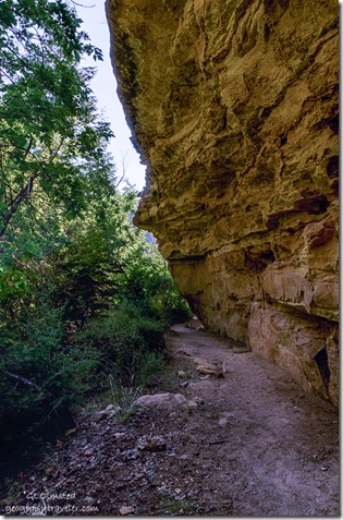 The trail follows a drainage then flattens out. Tree tops reach up next to the trail on one side while walking under overhanging cliff faces and hugging the walls at the head of this small canyon. I see the profile of a wild rock-woman at the bend in the trail.
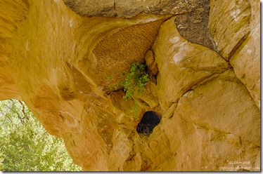
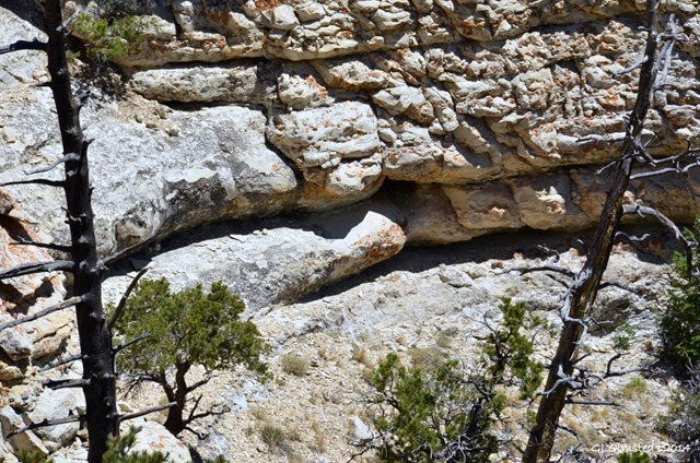
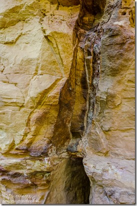 Cliff walls of sandy limestone with crazy patterns, iron deposits, maidenhair fern growing overhead, and erosion holes where birds nest. Quiet, yet so full of life.
Rounding a corner there is always wind. Must be the shape of this canyon that somehow funnels whatever breeze to curve along the canyon walls. Today the motion is a gentle caress yet some days the wind will work against you.
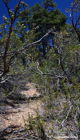
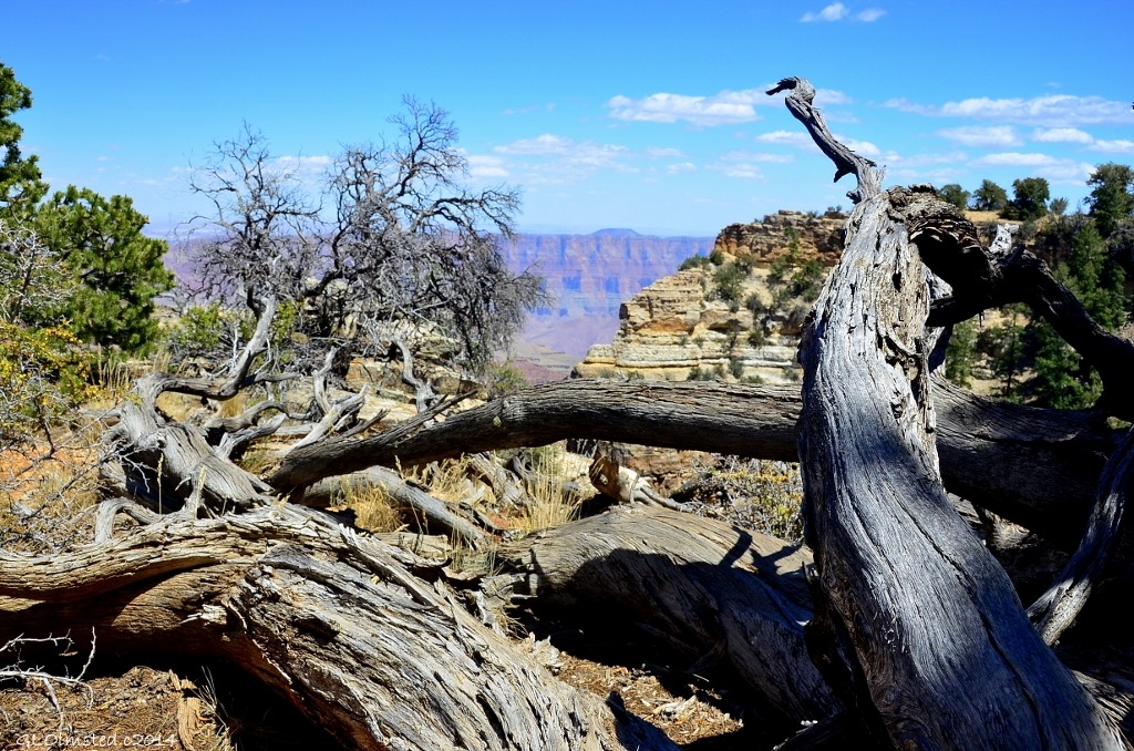
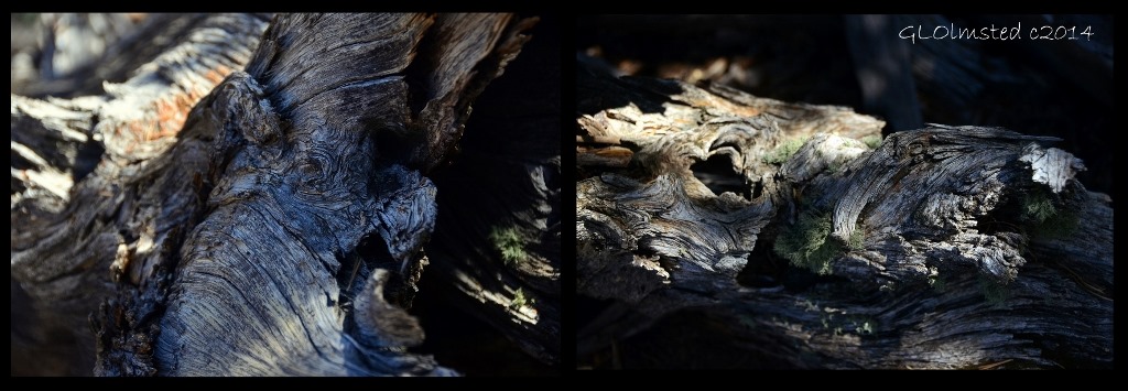
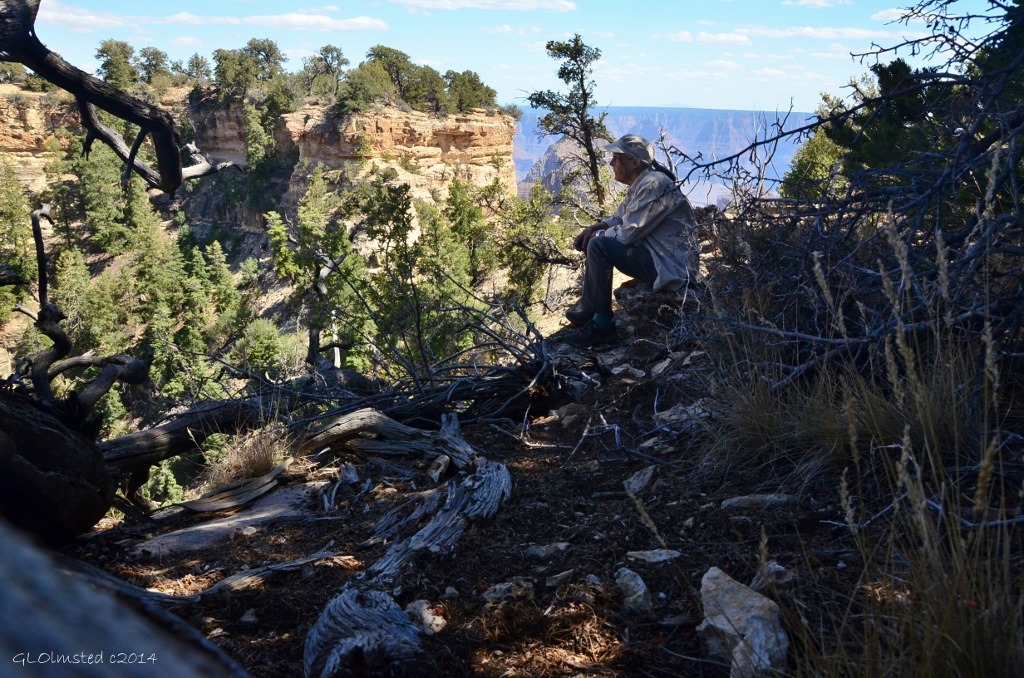
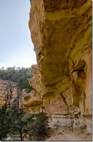 Over ten years visiting Cliff Spring I’ve watched this young pine struggling for enough light to grow tall like the twisted snag that lost the battle further along.
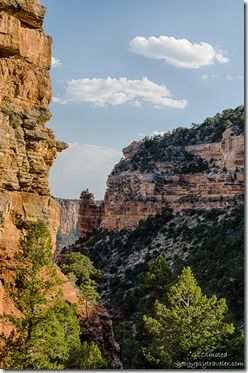
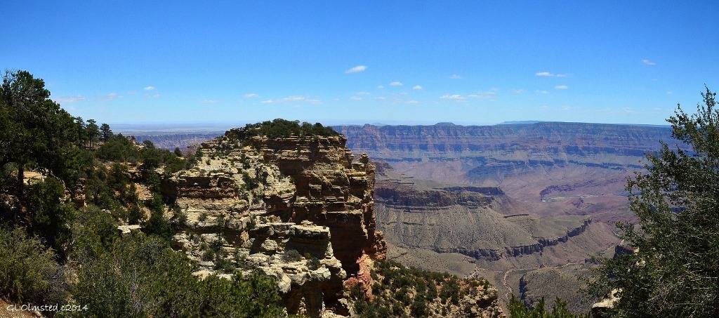
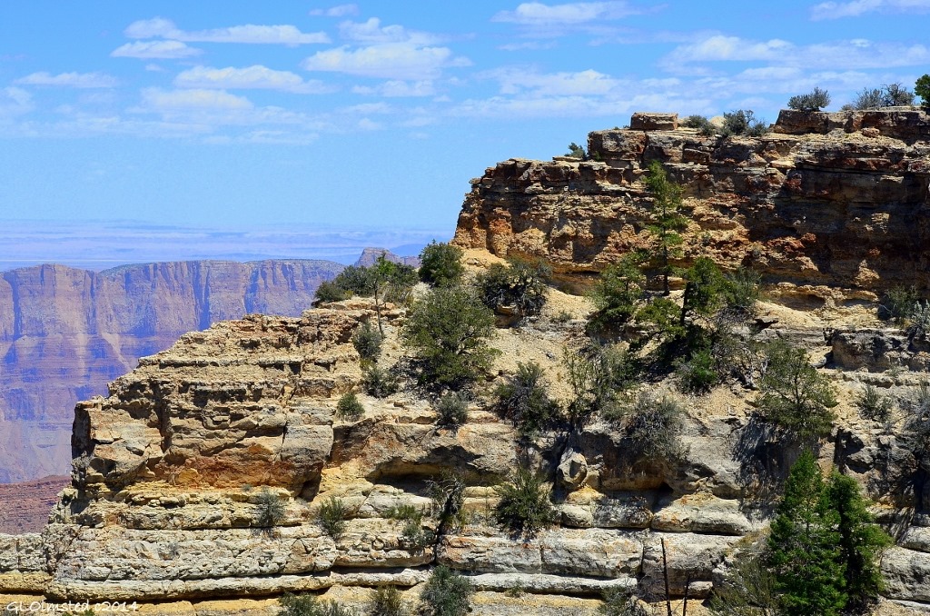
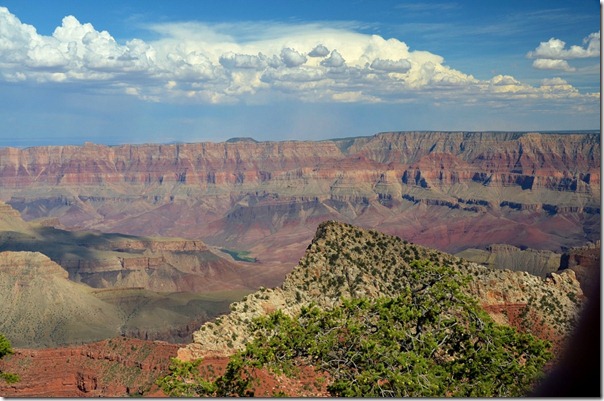
The view is limited in distance yet multi-textured, sculptured, and colorful.
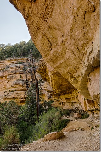 Surface water percolated through porous limestone to a dense shale layer were it seeps between the rocks leaving dark stains and damp areas where plants hang on to life.
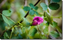
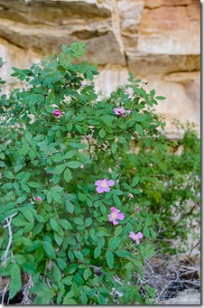
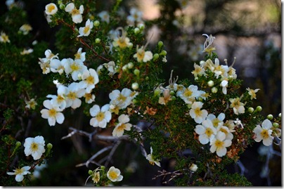
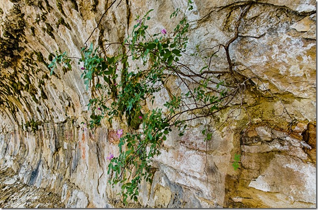 The wild roses are the best here, their wonderful aroma greets me before I even see them.
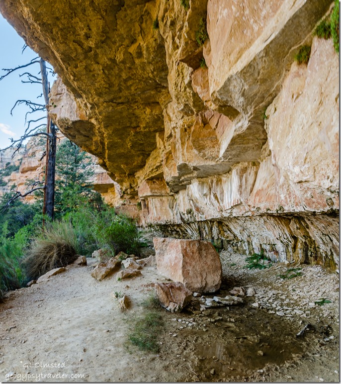 There is something quiet and special about Cliff Spring. Frequented mostly by birds and butterflies, I rarely see other people here of which I am glad so that I may enjoy the tranquility.
And have time to stop and smell the roses.
The trail ends at a seep spring, just a shallow pool of water for wildlife, not for swimming. It may appear the trail continues past the spring, that is what we Rangers call a social trail, unmaintained. You are welcome to walk it but I don’t imagine you’ll get far before deciding it’s a little sketchy with steep drop offs.
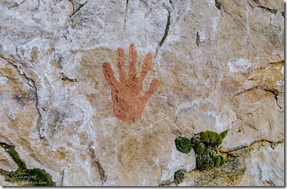 Please don’t be fooled by the red hand-prints on the rock walls, they are not old. It seems some folks like to leave their legacy and there’s red soil and water. Although I don’t like to see this desecration it is better than scratching names in the rock and much easier to remove. I just don’t get why it has to happen.
 I sit for a while on a boulder covered with ancient ripple marks, listening to the slow yet constant drip of water. Then reluctantly leave this special hidden canyon and head to Cape Royal for sunset and the milky way.
Parking is found in a wide paved area on a sharp curve across from the trail head about 1/2 mile from the end of the Cape Royal Road. The trail sign is small and difficult to see, look for a crosswalk. The trail is .8 mile round trip with 250 feet elevation change, forested and edgy along cliff faces.
Just one of many delightful trails on the North Rim of Grand Canyon National Park.

