• Home
  • About Geogypsy
    • Herstory
    • Parks where I’ve worked
  • Places I’ve been
    • United States
      • Arizona
        • Antelope Slot Canyon
        • Casa Grande Ruins National Monument
        • Colossal Cave Mountain Park
        • Flagstaff
        • Glen Canyon National Recreation Area
        • Grand Canyon National Park
          • Grand Canyon National Park North Rim
          • Grand Canyon National Park South Rim
          • Toroweap
        • Havasu Canyon
        • Horseshoe Bend
        • Jerome
        • Kaibab National Forest
        • Lee’s Ferry
        • Meteor Crater
        • Navajo Bridge
        • Oak Creek Canyon
        • Painted Desert
        • Pipe Springs National Monument
        • Prescott
        • Quartzsite
        • Saguaro National Park
        • Sedona
        • Sunset Crater Volcano National Monument
        • Vermilion Cliffs
        • Walnut Canyon National Monument
        • Wupatki National Monument
        • Yarnell
      • California
        • Anzaberrego
        • Bakersfield
        • Death Valley National Park
        • Joshua Tree National Park
        • Redwoods NP
        • Salton Sea
        • Yucca Valley
      • Colorado
        • Mesa Verde National Park
      • Florida
      • Illinois
        • IL River
        • Morton Arboretum
        • Starved Rock State Park
      • Michigan
      • Nevada
      • New Mexico
      • Oregon
        • Crater Lake NP
        • Mt Hood
        • Oregon Caves National Monument
      • Texas
        • Alpine Texas
        • Padre Island
        • Port Isabel
        • Rio Grande Valley
      • Utah
        • Brian’s Head
        • Bryce Canyon National Park
        • Buckskin Gulch
        • Cedar Breaks National Monument
        • Cedar City
        • Coral Pink Sand Dunes State Park
        • Dixie National Forest
        • Grand Staircase Escalante National Monument
        • Johnson Canyon
        • Kanab
    • World Travels
      • Germany
      • Mexico
      • South Africa
  • Tours
  • Photography
  • Work with Me
    • Sponsors
  • Contact
Geogypsy
Menu
  • Home
  • About Geogypsy
    • Herstory
    • Parks where I’ve worked
  • Places I’ve been
    • United States
      • Arizona
        • Antelope Slot Canyon
        • Casa Grande Ruins National Monument
        • Colossal Cave Mountain Park
        • Flagstaff
        • Glen Canyon National Recreation Area
        • Grand Canyon National Park
          • Grand Canyon National Park North Rim
          • Grand Canyon National Park South Rim
          • Toroweap
        • Havasu Canyon
        • Horseshoe Bend
        • Jerome
        • Kaibab National Forest
        • Lee’s Ferry
        • Meteor Crater
        • Navajo Bridge
        • Oak Creek Canyon
        • Painted Desert
        • Pipe Springs National Monument
        • Prescott
        • Quartzsite
        • Saguaro National Park
        • Sedona
        • Sunset Crater Volcano National Monument
        • Vermilion Cliffs
        • Walnut Canyon National Monument
        • Wupatki National Monument
        • Yarnell
      • California
        • Anzaberrego
        • Bakersfield
        • Death Valley National Park
        • Joshua Tree National Park
        • Redwoods NP
        • Salton Sea
        • Yucca Valley
      • Colorado
        • Mesa Verde National Park
      • Florida
      • Illinois
        • IL River
        • Morton Arboretum
        • Starved Rock State Park
      • Michigan
      • Nevada
      • New Mexico
      • Oregon
        • Crater Lake NP
        • Mt Hood
        • Oregon Caves National Monument
      • Texas
        • Alpine Texas
        • Padre Island
        • Port Isabel
        • Rio Grande Valley
      • Utah
        • Brian’s Head
        • Bryce Canyon National Park
        • Buckskin Gulch
        • Cedar Breaks National Monument
        • Cedar City
        • Coral Pink Sand Dunes State Park
        • Dixie National Forest
        • Grand Staircase Escalante National Monument
        • Johnson Canyon
        • Kanab
    • World Travels
      • Germany
      • Mexico
      • South Africa
  • Tours
  • Photography
  • Work with Me
    • Sponsors
  • Contact

Tag: travel

22 July 2020

Exploring with the new camera Nikon D5600

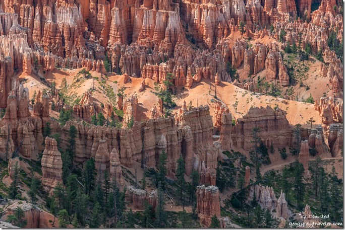
Peak-a-boo trail hoodoos trees Bryce Point Bryce Canyon National Park UtahThe new camera, a D5600 refurbished by Nikon, arrived last Wednesday late in the afternoon so I planned to go out exploring the next day, first of two days off work.  So far, I am happy with it.
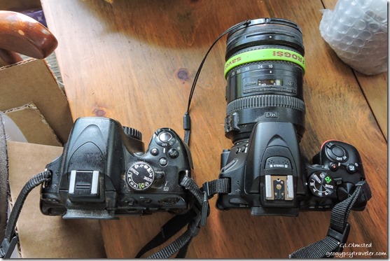
old D5100 & new D5600 Nikon camerasOld D5100 left and new D5600 right

First I had to charge the two batteries for the new camera.  Of course they are subtly different than the previous batteries even though the charger itself is the same.  The D5600 is slightly smaller and lighter, until I put the big 18-200mm lens on and then barely noticeable difference.  Took a little while and reading the manual to get the new camera settings where I want them.
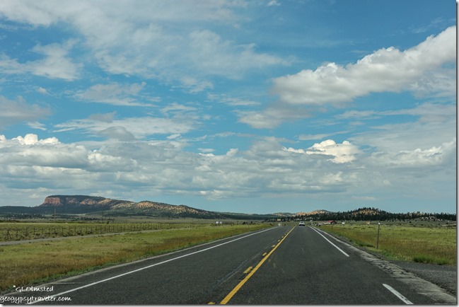
Wilson Peak SR12 West UtahWilson Peak from SR12 west of Bryce

The new camera is still too big to use while driving so I shoot Auto with the small and slow Nikon P600 for that.
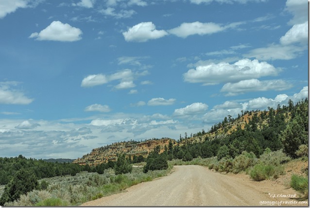
trees Pink Cliffs FR118 North Dixie National Forest UtahThursday, I drove just west of Red Canyon on the Dixie National Forest.  After a quick stop at their visitor center for maps and information I turned off SR12 north a few miles towards Losee and Casto Canyons, plus hoped to find nearby Agate Hill.

I was initially worried this would be a dust storm area as I saw many OHV near the turn off but thankfully didn’t see more after that.  Also discovered a few nice places to disperse camp not far from the trailheads.
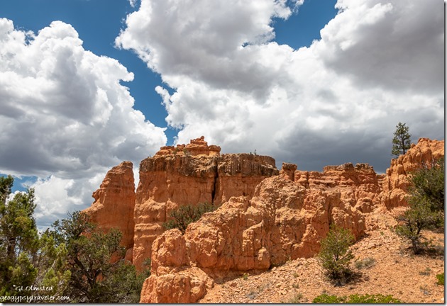
trees Arch Trail Losee Canyon Dixie National Forest Utah

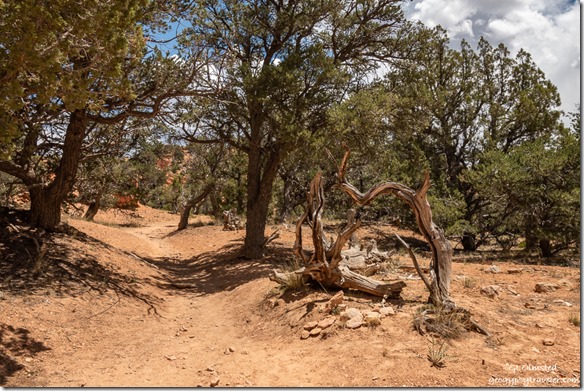
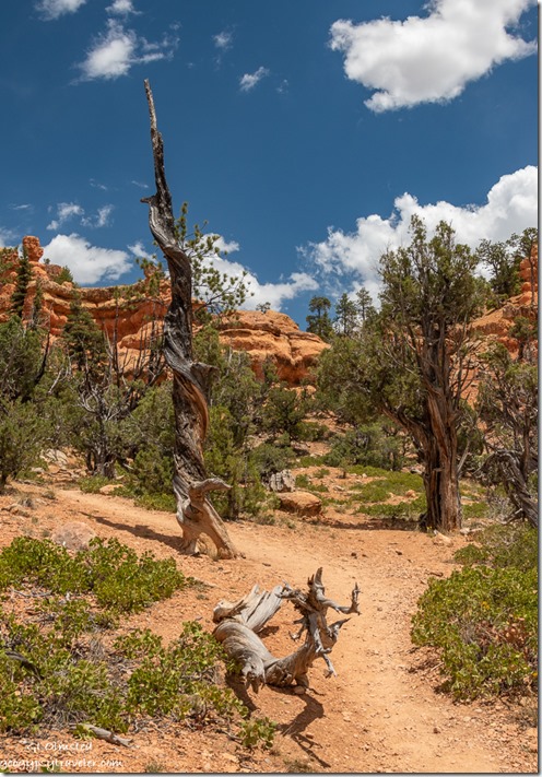
trees hoodoos clouds Arch Trail Losee Canyon Dixie National Forest UtahStopped at the Losee trailhead and walked part of the short Arches Trail.  I enjoyed the dead and twisted trees every bit as much as the redrock hoodoos.
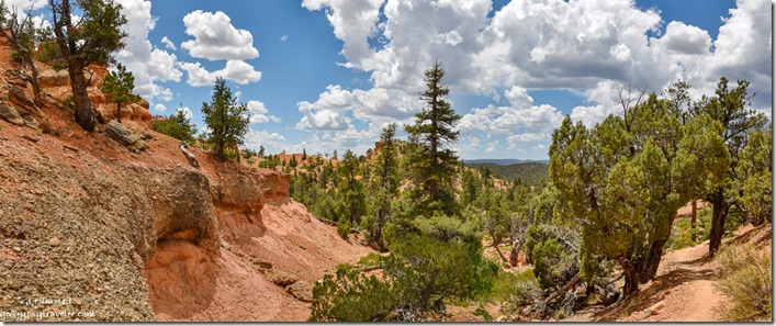
trees hoodoos Arch Trail Losee Canyon Dixie National Forest Utah

red rock trees clouds Arch Trail Losee Canyon Dixie National Forest UtahAs it was a warm day I didn’t feel like a long hot hike so slowly sauntered a bit until the trail took a steep climb where I turned around.  Landscape always looks different when facing the opposite direction.
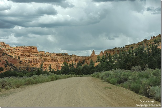
trees Pink Cliffs Casto Canyon FR118 North Dixie National Forest UtahContinued a short drive to the Casto Canyon trailhead and didn’t hike there at all.  Yet I will return to both these quiet canyons.
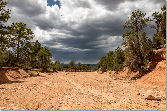
wash trees storm clouds Dixie National Forest UtahSomehow I missed Agate Hill which should have been at a junction to another road west that would take me to SR89 and ultimately to Panguitch.  Guess I’ll have to go back.
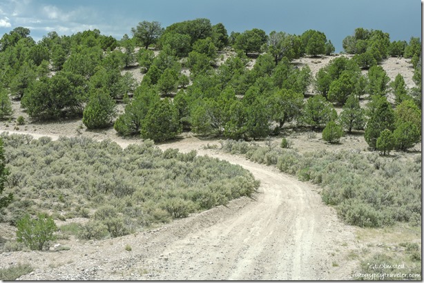
trees FR1700 West Dixie National Forest UtahI honestly wasn’t sure I was on the right road but was headed in the right direction.  Pretty drive descending through the Juniper and Pinyon Pines with more possible camping.
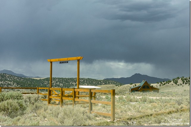
The Dream ranch gate & house UtahAs I approached the Sevier River valley the landscape changed to private agricultural ranches. (Sign reads “The Dream”)
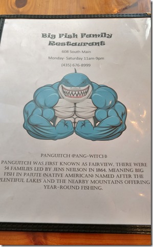
menu cover & story Big Fish resturant Panguit UtahHad a good lunch with lousy service at Big Fish in Panguitch then bought a few groceries at Joe’s Market, which I am not impressed with.
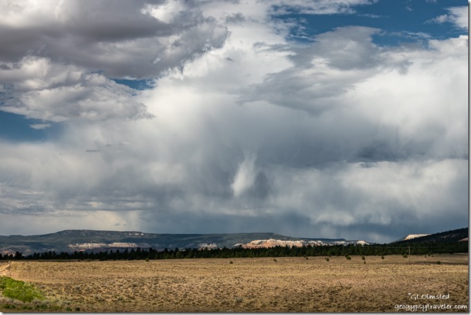
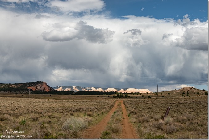
2-track Table Cliffs storm clouds SR22 Utah

meadow Pink Cliffs storm clouds SR22 UtahBefore heading back into the park I drove a short ways on SR22 north towards Antimony because the stormy clouds above the Table Cliffs called my name.  It had threatened rain all day but none fell.
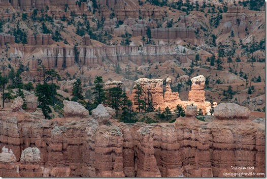
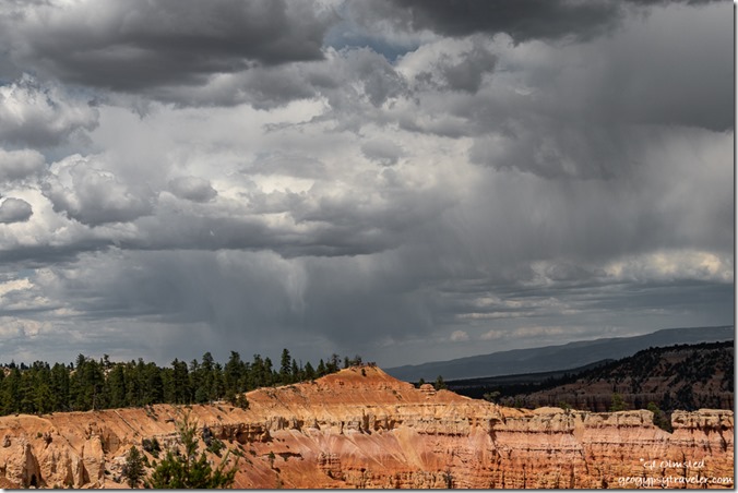
Sunrise Point storm clouds Bryce Canyon National Park UtahSunrise Point Bryce Canyon NP

highlighted hoodoos Bryce Canyon National Park UtahStorm clouds continued to hang out for days yet very little rain fell.  However, the wind brutally blew gritty dust enough to cancel the 4pm Rim Walk on Friday when I returned to work.  Also been cloudy enough to make viewing the comet difficult so I still haven’t even seen it.
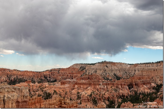
hoodoos amphitheater Bryce Point storm clouds Sunset Point Bryce Canyon National Park Utah50 million year-old limestone lake deposits weathered and eroded beginning about 16-5 million years ago

The next day, a man showed up at my hoodoo geology talk and wanted to argue about the million year-old ages of rock in the Grand Staircase.  I said to him, “I respect your right to believe what you want, but I believe in the science.  These sedimentary rocks are dated by the fossils.  I am not a geologist.”  Rather diffused his need to argue and he went away but returned for another similar talk by another Ranger a few hours later.  Why would someone do that?
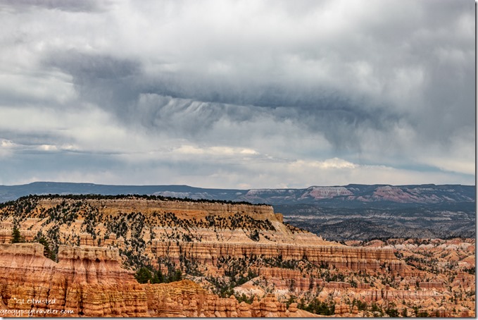
hoodoos valley plateau storm clouds Bryce Canyon National Park UtahBoat Mesa, valley, and Aquarius Plateau from Sunset Point

Monday was an early day opening then later a co-worker and I went to Rainbow Point to present Grand Staircase geology talks.  Sadly, after only one talk a huge storm blew in with lightning nearby, 10 miles down to four miles away.  So we packed up our props and spent the next hour telling people to get off the rim so they didn’t get struck by lightning.  One guy, who claimed to make a living on his cell phone photography, would not leave and got obnoxious.  Although I had my camera in the truck I did not pause to risk my life for the amazing sky.
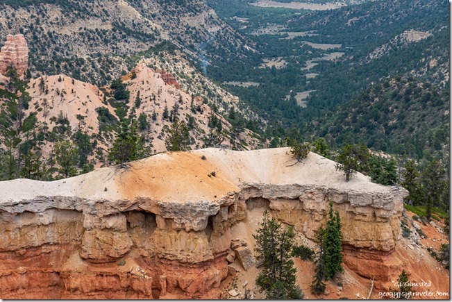
Pink Cliffs trees valley smoke Fatrview Bryce Canyon National Park UtahOn the return drive to the office we stopped at Fairview Point as we’d heard on the radio about a lightning strike below the overlook where smoke could be seen.  Fire folks were going to check it out and I haven’t heard any more.
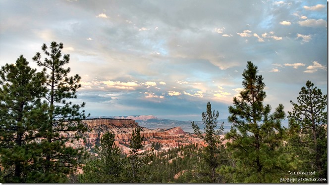
trees Boat Mesa Sinking Ship Table Cliffs pre-sunset clouds Bryce Canyon National Park UtahRangers get paid in sunsets (phone shot)

We are seeing an increase in visitation, and general stupidity.  With all the available information in this age why are people so ignorant.  All these new RVers who don’t have a clue. People visiting parks with no knowledge about the place or even why they are there.   I know this COVID19 year is difficult, but really folks.  Best thing is to stay home.  I so much want to travel myself, even a long weekend on the North Kaibab would be awesome.  But instead, I’ll stick closer to home.
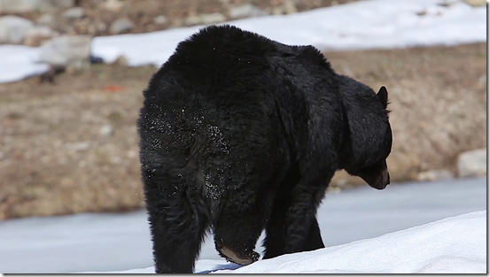
videoblocks-black-bear-walks-away-with-snow-on-butt_spl6gsj31w_thumbnail-full01Yesterday, my Friday, was a late start and ended with my evening program on the wildlife at Bryce.  A visitor asked about how many bears in the park.  Only one documented, so we’re calling it Covid Bear because it’s in isolation and honors social distancing.  (Not my photo)

I’m back to enjoying carrying the new camera around and making photos.  Though I’m still using the small Nikon and phone sometimes.  The best camera to use, is the one you have with you.

Push my buttons!

  • Click to share on Facebook (Opens in new window) Facebook
  • Click to share on X (Opens in new window) X
  • Click to share on LinkedIn (Opens in new window) LinkedIn

Like this:

Like Loading...
new camera, Places I've been, United States, Utah hoodoos, new camera, photography, Pink Cliffs, road trip, stormy sky, travel 19 Comments
15 July 2020

Shopping from Bryce Canyon involves distance and time

I’m not all that keen on shopping whether it’s a long drive to town or online, but that’s what happened last week when I had to go shopping from Bryce Canyon National Park.

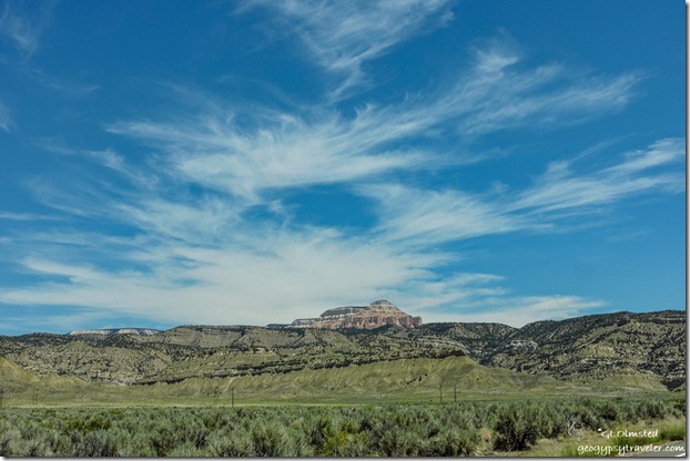
Northeast view Table Cliffs SR12 East UtahNortheast view Powell Point

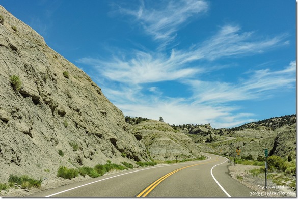
Grey Cliffs SR12 East UtahI couldn’t bring myself to driving 1 1/2 hours west to the more than adequate sized Cedar City for just a few groceries, mostly fresh fruits and vegies on the list.  So instead I drove about an hour the opposite direction on Scenic Byway SR12 to the cute little town of Escalante.

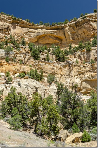
trees sandstone cliff Puebloan ruin SR12 Utah

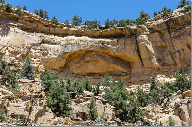
trees sandstone cliff Puebloan ruin SR12 UtahAlong the way, a wide place along the road with interpretive signs caught my attention.  The sign indicates looking way up high on the sandstone cliffs for Ancestral Puebloan granaries, food storage structures sort of like our pantries, but they looked more like dwellings to me.  I did not make the several hundred foot climb for further explorations.

house for sale Escalante UtahHouse for sale Escalante, Utah

Mimi's Bakery & Deli Escalante UtahMimi’s

Once in Escalante, first stop was Mimi’s Bakery and Deli for a delicious grilled portabella sandwich for lunch with homemade potato salad and a blueberry muffin for later.  They offer take-out with outdoor seating but I ate mine in the camper.  Got a few things at the grocery store and a couple more at the Organic Grocery. Damn problem with going to town is spending so much money.

East view Tropic Shale SR12 UtahMade one quick stop on the way home because I didn’t have the frozen foods in a freezer.  This overlook by the 7600 foot summit provides a far distant view east across the tropic shale where dinosaurs roamed some 70 million years ago along the marshy edge of an inland sea.

trees Gray cliffs northwest view Powell Point SR12 UtahNorthwest view Powell Point

That was barely 100 miles round trip and took five hours.  A fun and scenic drive with a U, and three-sided view, around Powell Point.

Pink Cliffs trees Yovimpa Point Bryce Canyon National Park UtahSouthwest view from Yovimpa Point

Back to work for my Monday on Saturday with an early start opening the outside information area.  Visitation is 30-50% down from last year but Saturday’s the busiest.

Southeast view Pink Gray White Cliffs clouds Yovimpa Point Bryce Canyon National Park UtahSoutheast view from Yovimpa Point

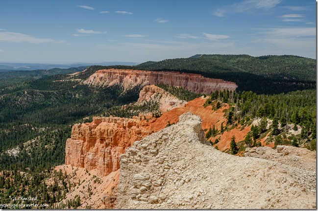
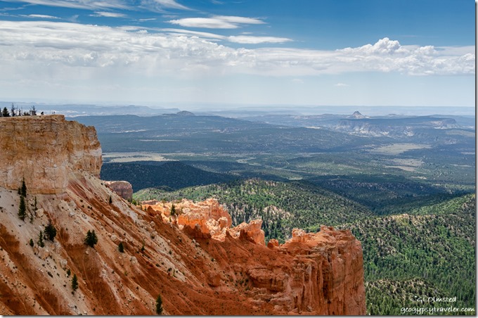
After a several hour stint answering repetitive questions—doesn’t anybody pre-plan and visit websites—I drove to Rainbow Point at the end of the park’s scenic road.  At Yovimpa Point–a short walk to the rim—I presented a couple Grand Staircase geology talks.  Plus took photos of the gorgeous light, shadows, and clouds plus the amazing distant view south across the Grand Staircase geology and national monument.

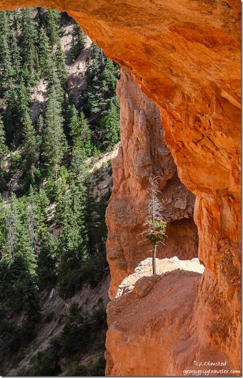
tree under Natural Bridge Bryce Canyon National Park UtahThe tenacity of a tree can teach us much about survival in a harsh environment.

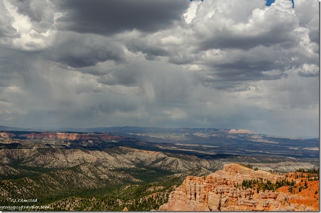
I heard on the park radio lightning was nearby the visitor center and rim talks were cancelled, but never saw a drop of rain.  Though later back home I heard thunder while considering a trip to the rim for sunset.  Yet I just didn’t have the gumption or energy after a full day under the sun and wind.

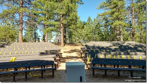
North campground amphitheater seating Bryce Canyon National Park Utah

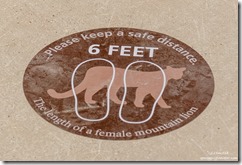
mountain lion 6 feet distancing stickers Bryce Canyon National Park UtahThe next day I started late and presented the 9pm evening program about wildlife in Bryce.  Complete with animal sounds, the audience loved it and laughed when the sounds snuck in.


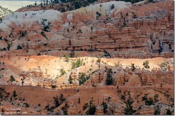
trees hoodoos light Bryce Canyon National Park UtahTemperatures were up into the high 80s and low 90s so it’s plenty warm hanging outside, especially when on the rim for several hours.  There are a few shady spots I rove from.

Pink Cliffs valley Table Cliffs storm clouds Rainbow Point Bryce Canyon National Park UtahEast view Powell Point from Rainbow Point

Sometimes it’s windy, which helps cool me off, but have to be careful not to loose my hat.

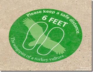
turkey vulture 6 feet distancing stickers Bryce Canyon National Park UtahI should probably get better at shopping online, but I’m a person who likes to touch and read labels so it’s difficult.  Yet somethings are just too far away for in-store shopping, like a new camera.  I asked a couple photographer friends for advice on replacing my well-past-its-time Nikon D5100 purchased in 2012.  I want to be able to use the lenses I already have so there were limitations, including budget.  One person recommended the Nikon D3500 camera body for $350 ordered from WalMart.  Not a bad price just a bad store.  But that version doesn’t include two features I like, AE bracketing and a variable motion LED screen.  Another person basically did the online homework for me and found a Nikon refurbished D5600 from a reputable camera store, B&H, for $449.  Not only does it have those two features I want but I’ll be moving up from 16mp to 24mp with less weight.  Yes, I ordered it last Friday and it should be here this week.  Won’t look much different than what I have.  Report coming.

Of course, as soon as I bought the camera my laptop started acting up.  I’m totally not ready to replace it right now.

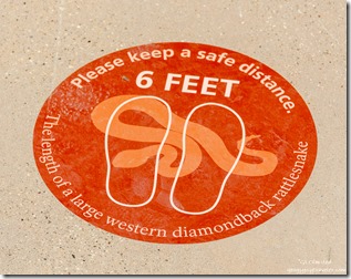
rattlesnake 6 feet distancing stickers Bryce Canyon National Park UtahI recently discovered shopping for masks online is big.  Duh, why wouldn’t that be the case.  I have a couple black cotton masks issued by the park, and a pretty one made by a friend.  But I can’t wear the surgical masks with metal over the nose as my skin is sensitive to cheap metal.  I thought having my smiling lower face printed on a mask would be a good idea but that would also take shopping online.  I’ll think about it.

Suppose I could learn to order online, planning ahead for shopping from Bryce Canyon to Cedar City for my major grocery needs.  Too bad the new Natural Grocers’ doesn’t offer that option but I do like to cruise that store finding sales and sometimes items that weren’t on my list.  I’ll save that trip for next week, maybe.

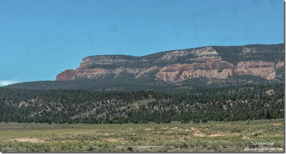
West view Powell Point SR12 West UtahView west Powell Point through dirty window

I’m finding it difficult to travel into unknown places where I’m not exclusively outdoors and able to easily distance from people, especially those not wearing masks.  I even try not to spend much time in the Admin building/visitor center. Indoor time is typically my own RV home and vehicle.  Hope you’re not getting bored with the daily life of a seasonal Park Ranger at Bryce Canyon.

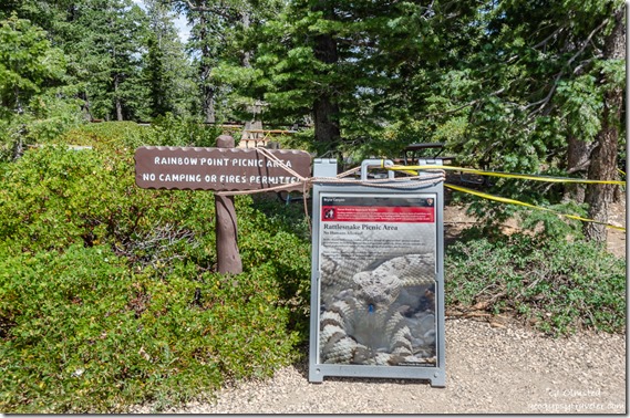
signs picnic area closed due to snakes Rainbow Point Bryce Canyon National Park UtahPicnics leave food scraps for rodents who become prey to snakes at Rainbow Point

This article speaks volumes.  I hope we’re not loving our national parks, and each other, to death.

Push my buttons!

  • Click to share on Facebook (Opens in new window) Facebook
  • Click to share on X (Opens in new window) X
  • Click to share on LinkedIn (Opens in new window) LinkedIn

Like this:

Like Loading...
Bryce Canyon National Park, COVID-19, Park Ranger, Places I've been, United States, Utah new camera, Park Ranger, RV life, shopping, travel 20 Comments
07 April 2020

On hold after a short journey in the Sonoran Desert

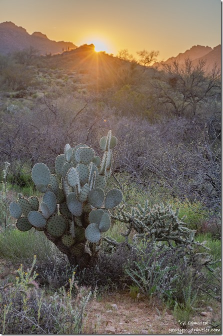
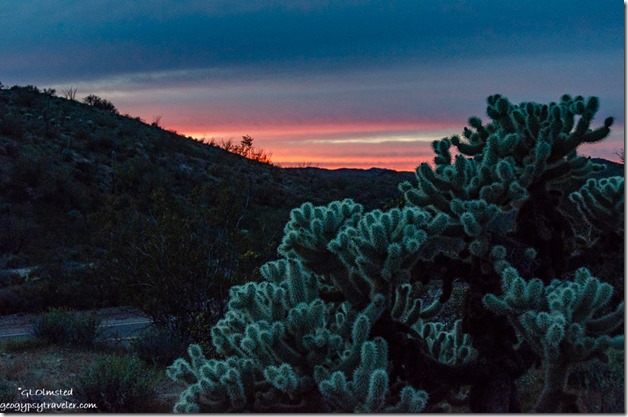
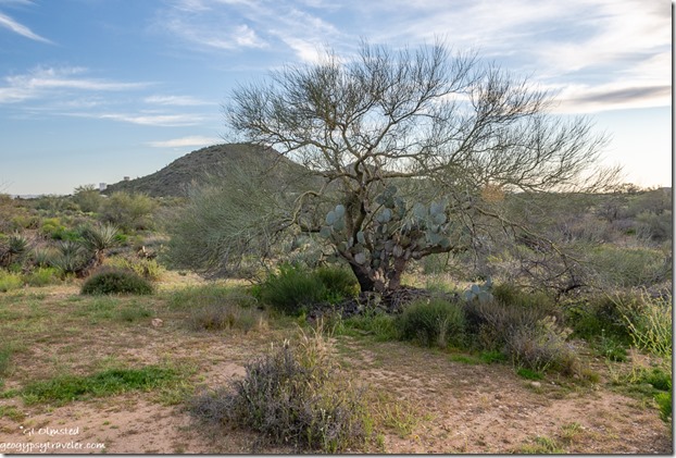
desert sunset BLM Ghost Town Road Congress ArizonaIt was difficult mentally to leave the southern Sonoran Desert?  I did spend most of the first three months of the year enjoying the desert for my yard.  Even after leaving the Ajo area a short journey took me north, yet still in the upper reaches of the Sonoran Desert, to Wickenburg and Congress area which sort of feel like home.

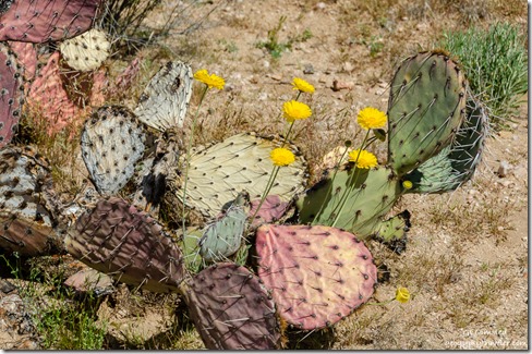
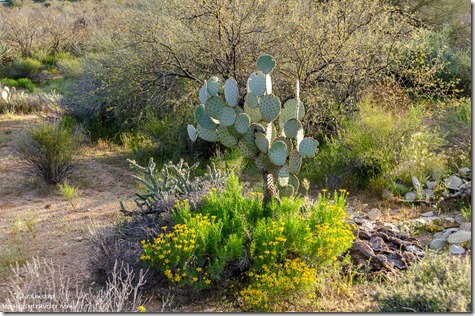
Prickly Pear cactus & Desert Marigolds BLM Ghost Town Road Congress ArizonaI thought about several options and possible plans for the ‘where next’ from the Ajo area and ended up staying one night at Belly Acres RV Park to dump, fill, shower, and charge.  Also gave me time to formulate a plan for the next day that was basically a reverse of January’s trip south.  Doesn’t seem like I can plan much further than that right now.

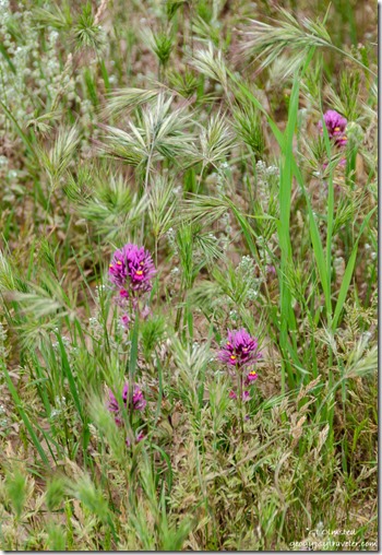
Owlseye Clover Vulture Mine Road ArizonaLeft in the morning with thoughts of grocery shopping either locally or in Buckeye which is a much bigger town.  Yet I wasn’t desperate for anything in particular.  It’s just the unknowing of what stock will be like at the next store option.

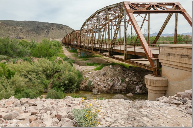
Gillespie bridge ArizonaInstead I drove the familiar historic Highway 80 to the west of Buckeye and stopped once again at the Gillespie bridge and dam.

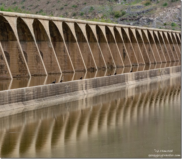
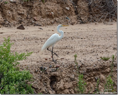
Gillespie dam ArizonaThe water was a little higher than my last stop.  With Cormorants and Great Egrets about.

Great Egret Gillespie Dam Arizona

I didn’t stay long as the mosquitoes were densely visible and over friendly.

Continuing a slow ride north on back roads I felt like somewhere between peaceful Earth and the Twilight Zone.  Traffic was minimal.

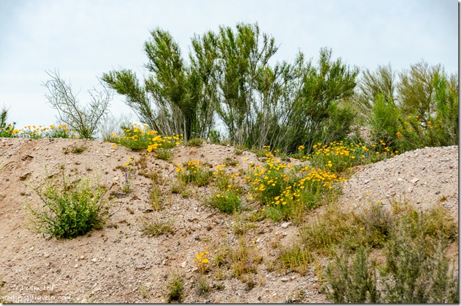
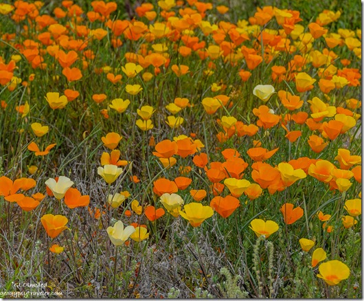
Poppies Vulture Mine Road Arizona

Poppies Vulture Mine Road ArizonaApproaching the dips and rise along Vulture Mine Road I hit the brakes and found a firm shoulder to park on for brilliant patches of poppies under gray overcast sky.

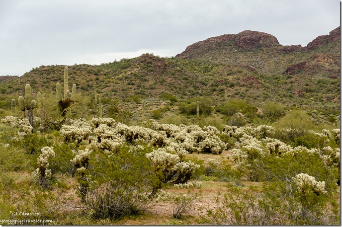
Cholla mountain BLM Vulture Mine Road Arizona

Cholla sunset BLM Vulture Mine Road ArizonaPulled onto BLM camping and joined quite a few others, though still parked further apart than a campground or RV park.  For only one night I didn’t get too far off the road.  Walked about and found a few flowers between the cholla forest.

cars Safeway parking lot Wickenburg ArizonaThe next day I braved into the town of Wickenburg and when I pulled into the busy parking lot at Safeway almost changed my mind.  Instead, I got up my nerve, put on my gloves, and went inside.  Thank goodness it’s a big store and most people were staying out of each other’s way.  I got what little I needed and got out unscathed.

Cottontail rabbit in wash BLM Ghost Town Road Congress ArizonaJackrabbit in wash BLM Ghost Town Road Congress Arizona

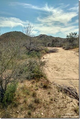
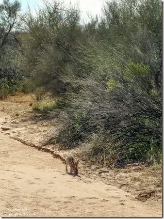
Already had an appointment the next day in Congress for an oil change and two new tires on the truck so I went to their local BLM off Ghost Town Road not too far from an old cemetery.  Exploring my new yard lead to a nearby wash where I startled a cottontail followed by a jackrabbit startling me.

After the truck maintenance, I went to the Dollar Store and although there was no paper products on the shelf a clerk asked if I needed anything and went in back to get me a 12-pack of TP and two rolls of paper towels.  It’s hard to thank these people enough for their continued service.

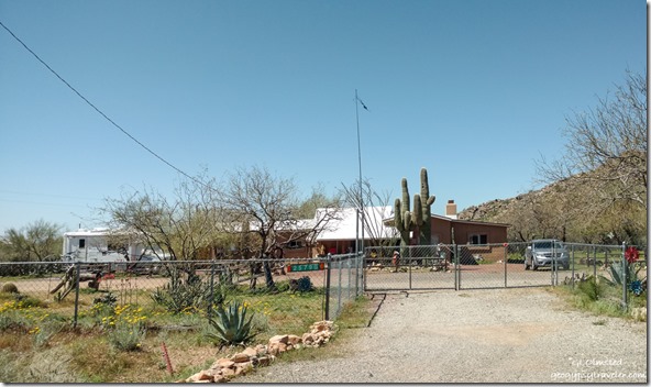
old Bayfield house Ghost Town Road Congress ArizonaThis is where Al and Kelly from the Bayfield Bunch lived for several winters

Then I returned to Ghost Town Road and parked one site over from the previous day and finally had a decent signal.  Now that I have two propane tanks again I’m good boondocking for two weeks at a time.

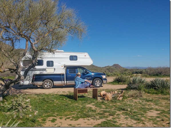
 Joann's van & truckcamper BLM Ghost Town Road Congress ArizonaJoann stopped by for some physically distant visiting and we went for a short walk in the desert. She’s been encouraging me to create more videos similar to the one I did touring my Darby Well camp.  I did try another here but with the wind it’s impossible to hear most of it so I’ll keep working on that.

desert camp view BLM Ghost Town Road Congress ArizonaBeen spending way too much time on Facebook yet I need to interact with others, stay abreast with the news (that’s almost a joke), and get in a good laugh (might include the previous).

As of 6pm last night “Bryce Canyon National Park will temporarily close until further notice effective Tuesday, April 7 at 5 p.m.”

yellow Sunflower Cholla Beavertail cactus BLM Ghost Town Road Congress ArizonaAnd so I am on hold in a safe place with nearby services.  I watch and listen to the birds, rabbits hopping everywhere, and enjoy the comfortable temperatures in the 60-70°F range during the day and low 50s at night.

Gaelyn truckcamper BLM Congress Arizona by JoannThink I’ll go sit outside in my Sonoran Desert yard, possibly in the shade of the overly trimmed Palo Verde tree that somebody even screwed a board into which makes me sad.  But the beautiful world around me makes me smile.

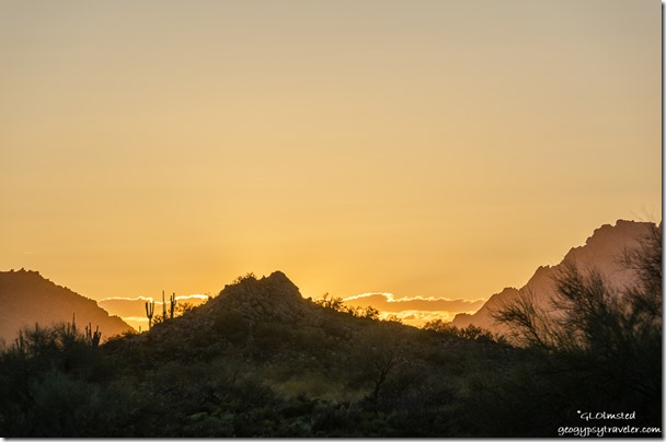
cactus mts sunset clouds BLM Ghost Town Road Congress Arizona

Push my buttons!

  • Click to share on Facebook (Opens in new window) Facebook
  • Click to share on X (Opens in new window) X
  • Click to share on LinkedIn (Opens in new window) LinkedIn

Like this:

Like Loading...
Arizona, Congress, CORVID-19, RV life, United States, Wickenburg boondocking, Gillespie bridge and dam, RV living, Sonoran Desert, travel 25 Comments
← Older posts
Newer posts →

Hi, I’m Gaelyn, the Geogypsy

I retired after 29 summer seasons as a Park Ranger, traveling solo for 40+ years. My passions include travel, connecting to nature, photography, and sharing stories.

I started exploring US National Parks in 1977 and 20 years later became a seasonal Park Ranger.  I’ve lived full-time in a RV for 30 years working summers and playing winters.  I’m still trying to figure out what I want to be when I grow old, other than grow up.

Let’s share our stories.  Here’s more of mine…

My wheeleastate

I am currently…

…boondocking somewhere in southern Arizona.  In the area, give a shout.

Geogypsytraveler on YouTube

Follow my journey on YouTube. Just click the pic. Hope you’ll like, share, and subscribe.

Click image for 7 minute documentary (Password “geogypsy” lowercase)

Making the Gypsy documentary is a story of its own.  Click below for the rest of the story.

Living nomadically & connecting to nature documentary

Subscribe to Blog via Email

Enter your email address to subscribe to this blog and receive notifications of new posts by email.

Photos available for sale include prints, greeting cards, coffee mugs, tote bags, phone cases and more

Reflected Wave 24X16 metal print under $100

Custom Coffee Mugs

Many items to choose from including prints

The Last Blast 24 x 16″ metal print under $100

Need a signal boost? When I boondock on public lands sometimes signal is weak or intermittent and a booster helps. Click the pic to visit WeBoost.

Connecting to nature and the rest of the world too.

Please contact me for photo purchases not seen at GLOlmsted Photography

Order fulfillment is by Fine Art America. If you’re not happy with your purchase, for any reason, simply return it within 30 days, and you’ll receive a full refund of the purchase price.

Why read Geogypsy?

The gypsy life spring-summer 1998 - "You were a real pioneer. RV'ing before it was cool." ...Yogi

How do you process photos? - “Your photographs create an Emotional feeling in the viewer...that they become One with You.” …Cindy

Life’s transitions between travel and work play - "I know you love your job as much as you love travel -- it shines through all your posts." ...Sallie

Lions at Kruger National Park - “Wonderful post, thank you. I was hooked start to finish!” … Peter B
11 lessons looking back 2013 - “A great post -- made me think, made me smile, made me want to cry." ...Sallie

Wildlife video Kruger National Park - “Gorgeous, this makes me want to go straight to South Africa now.” … Ayngelina

Living nomadically & connecting to nature documentary - “What an experience you had and gave to the "crew." Sometimes I think you don't realize how unique and inspiring you are.” …Alan

Search

Popular Posts

1. Prioritize the well-being of nature over photography. 2. Educate yourself about the places you photograph. 3. Reflect on the possible impact of your actions. 4. Use discretion if sharing locations. 5. Know and follow rules and regulations. 6. Always follow Leave No Trace principles and strive to leave places better than you found them. 7. Actively promote and educate others about these principles
Categories

Archives

Sites I follow, read & recommend

  • A Full-time Life
  • A Yankee in Belgrade
  • Bob's Eyes
  • Box Canyon Blog
  • Camels and Chocolate
  • Dawns bloggy blog
  • In the Direction of Our Dreams
  • Jane in her infinite wisdom
  • Janie and Steve, Utah Trails
  • Kathie's Birds
  • Las Adventuras
  • Memorable Meanders
  • Oh, The Places They Go
  • On the Road Abode
  • Port Elizabeth Daily Photo
  • Stillhowlyntravels
  • Take to the Highway
  • Technomadia
  • the good luck Duck
  • Travel with the Bayfield Bunch
  • Wandering Earl
  • Wheeling It
  • Yogi's Den

Caught in a Slot 9×12 canvas print under $50

If you don’t like what’s going on in your government, contact your Congress

Directory of Senators

Directory of Representatives

Lijit

© Copyright 2008-2024. Geogypsytraveler.com
%d