February 19, 2016
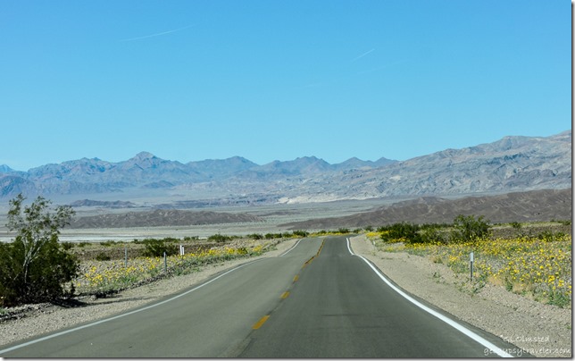 After experiencing the panoramic Death Valley view at Dante’s and seeing nature carved badlands at Zabriskie Point we headed through more of the wildflowers to hike into the Grapevine Mountains at Titus Canyon Narrows.
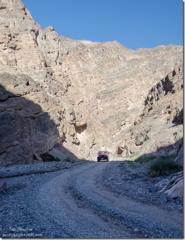
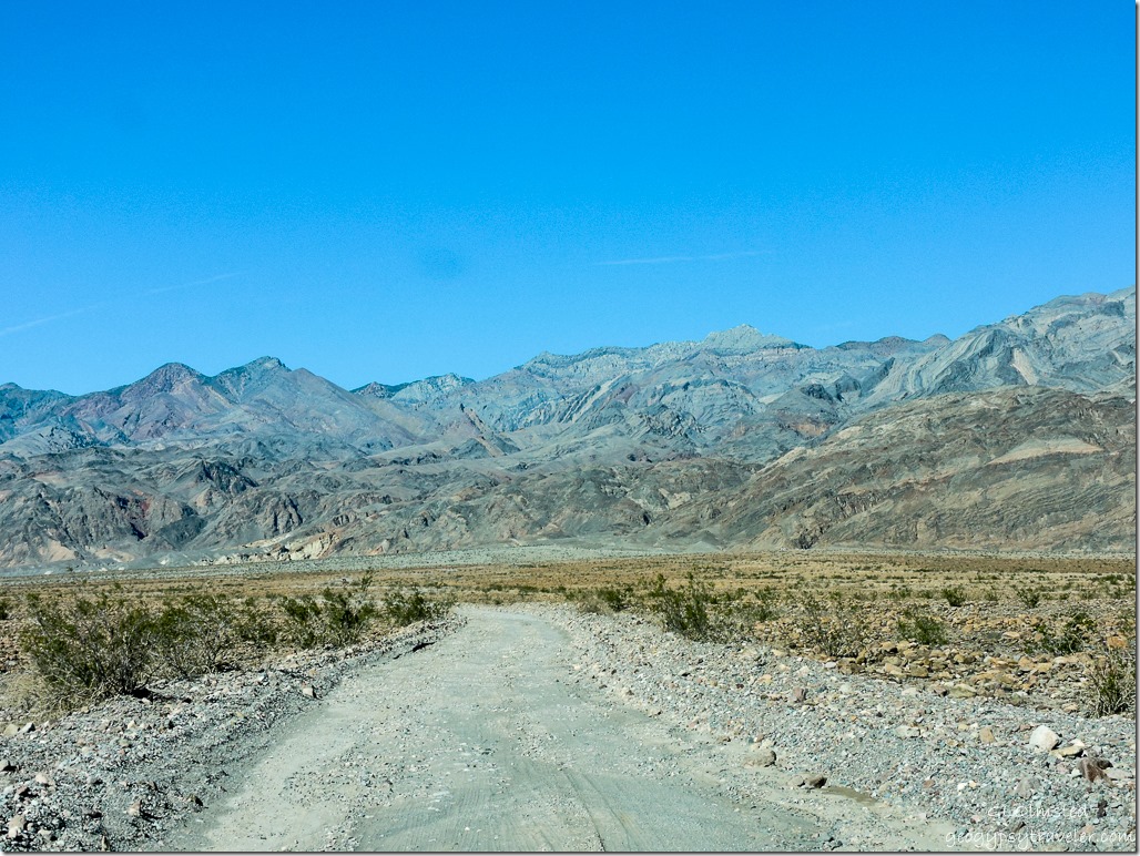 The 2.5 mile (4 km) road was much worse than I remember from visiting during October 2009, yet as I looked back at that I didn’t give the route a star rating then either. Supposedly two-lanes wide, I was grateful to many vehicles coming our way that were able to pull over for my lumbering truck with camper to pass by. It was a slow ride. Had I realized how bad running water had cut into the semi-graded road I might not have continued but there wasn’t any good spots to turn around. So on we went.
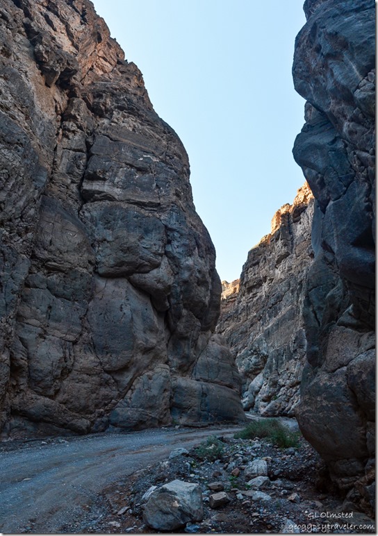
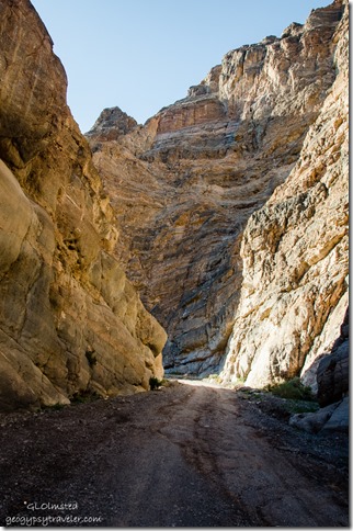
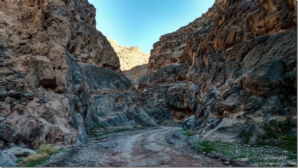 Titus Canyon is the largest and most diverse canyon in the park. From where we started walking at the mouth of the canyon a gravel road leads 1.5 miles (2.4 km) through Titus Canyon Narrows with 500 foot (152 m) walls of limestone and dolomite. And at my lollygag pace I’m sure we didn’t get that far. You can continue 5 miles (8 km) more to Klare Springs and Timbisha petroglyphs. Nice that this gravel road is dog friendly.
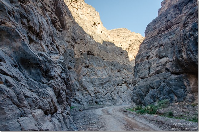 You can also drive 26 miles (49 km) on this one-way road starting just out of the park off Hwy 374 near the ghost town of Rhyolite, Nevada. High clearance vehicles are recommended for at least a three hour drive pavement to pavement. My truck may be high clearance but with the camper no way, although it actually seemed in better shape than the drive to the canyon.
Several jeeps passed, many rentals from the park’s concession, but we laughed like crazy when a sedan came through. I missed that shot. It wasn’t like rush-hour traffic and wide enough to get out of the way.
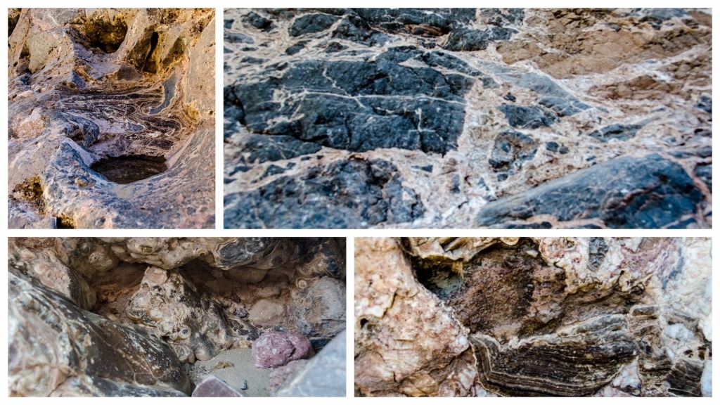 The rock here is amazingly diverse.
Titus Canyon is a deep, narrow gorge cut into the steep face of the Grapevine Mountains in a wine-glass shape. Although the mountains were only uplifted about 16mya (million years ago), most of the rocks that make up the range are over 560myo (million years old). The gray limestone lining the walls in the Narrows formed in a tropical sea.
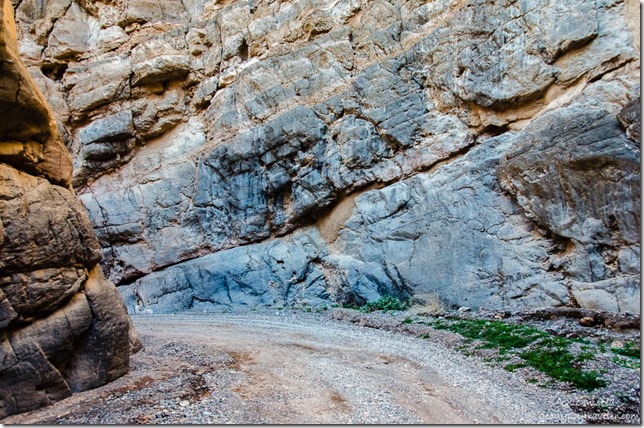 These sediments have since been upturned, upfolded (anticlines), downfolded (synclines) and folded back onto themselves (recumbent folds). Between 65-30mya all was quiet then deposition resumed as sluggish streams migrated laterally over the surface, laying down cobbles, sand, and mud as seen in the Titus Canyon Formation.
About 27mya, 1200 feet (366 m) of volcanic ash covered what would later become the Grapevine Mountains. During mountain building stream gradient increased cutting true river valleys, canyons, and gorges that face Death Valley. Water, mud and debris flows originating from the broad, more open canyon above have scoured the limestone walls smooth in Titus Canyon Narrows and left a large alluvial fan which we still had to drive out on to return to pavement.
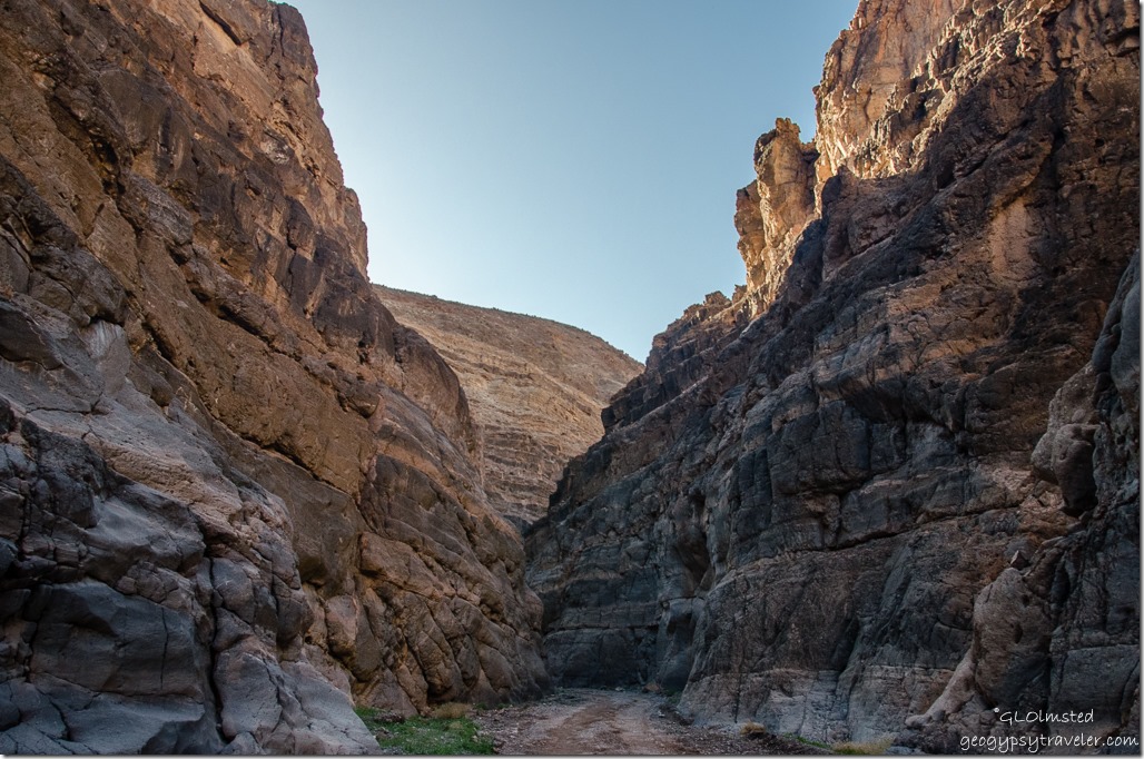 With the right rig I’d like to drive Titus Canyon, visit the ghost towns and Timbisha petroglyphs. Then maybe stop for fry bread or an Indian taco at the CCC built Timbisha Shoshone Indian Village near park headquarters at Furnace Creek. Has anybody stopped there? We didn’t so have another excuse to return.
 Next stop Mesquite Sand Dunes just before sunset.
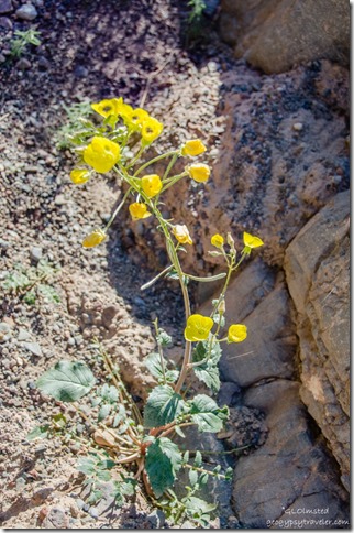 Sweet little Golden Evening Primrose seen in Titus Canyon Narrows.

