February 16 & 17, 2016
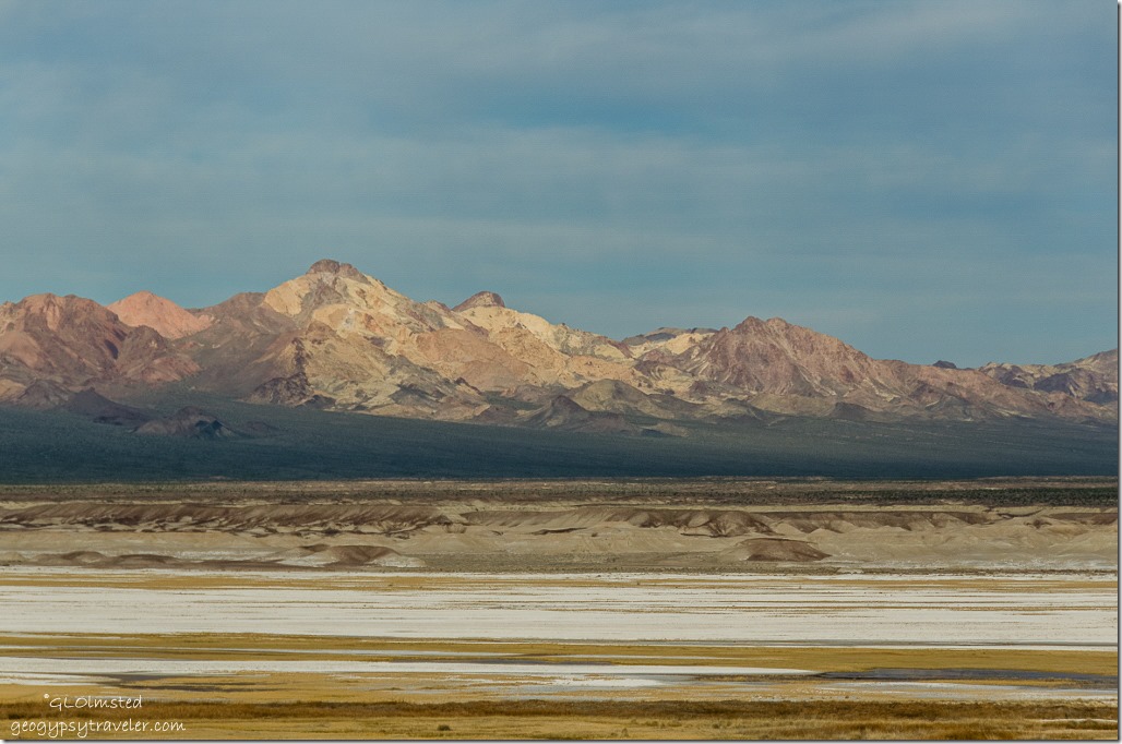 View west from Tecopa hot springs campground
Tuesday we stopped in St George, Utah for supplies then headed to what I thought would be free camping off the west of Hwy 127 on BLM between Tecopa and Shoshone, California. Unfortunately limited gravel roads for what little could be seen was way too close to the road and the ground was wet. So we bought into the Tecopa Hot Springs Campground located east just off Hwy127 instead.
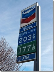
Bill and I left Kanab Tuesday and fueled up in Hurricane, Utah. Best price for the week long trip to Death Valley and back for some more. California prices were up yet the Death Valley concession only charged $2.74/gal diesel compared to the most expensive fill up at $4.09 in Shoshone.
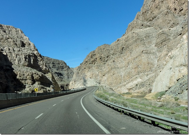 I love the I-15 drive through the Virgin River Canyon—though I’d like to go slower and stop to explore—but not around Las Vegas. Too fast, too many vehicles, too much going on. Give me back roads any day. And a constantly clean windshield please.
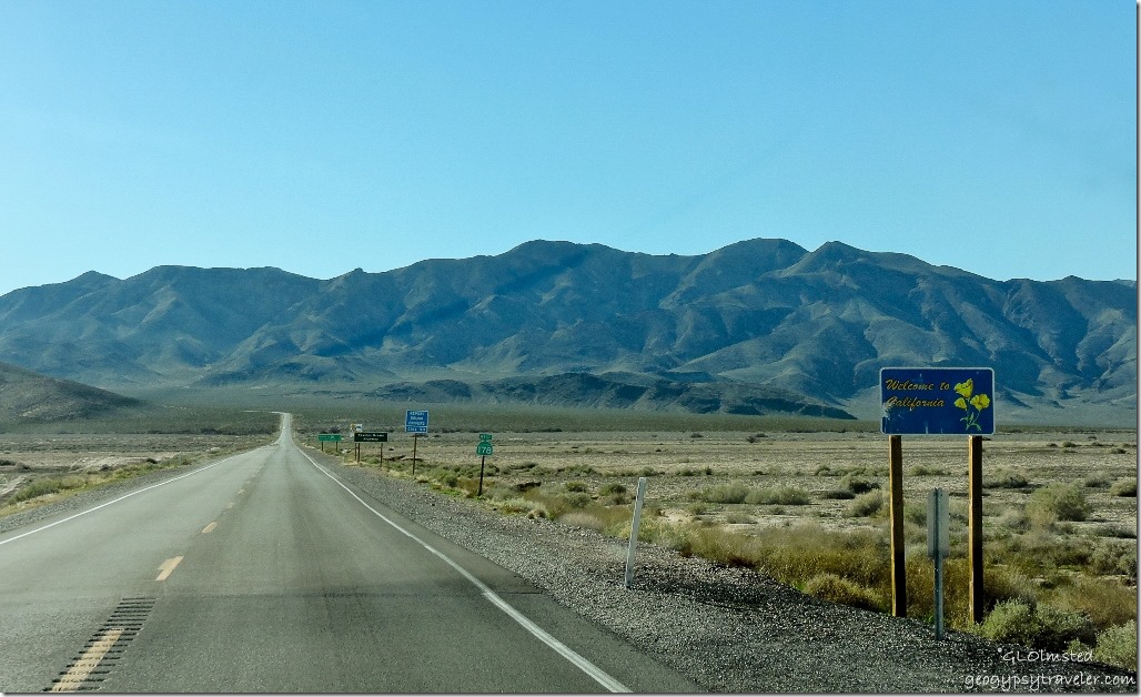 Thank goodness we were soon off the interstate cruising on Hwy 160 past a soft green landscape, through Parump, Nevada and into California. Next time I come this way I’ll take the Old Spanish Trail/Road turnoff before Parump to get to Tecopa.
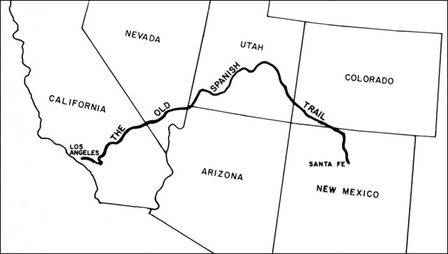 The Old Spanish Trail, later a wagon road called the Old Mormon Road or Salt Lake Road, is a historical trade route that connected northern New Mexico and Los Angeles, California. The approximately 1200 mile (1900 km) long trail over high mountains, across arid deserts, and into deep canyons is considered one of the most arduous of all trade routes ever established in the United States. Named by John C. Fremont in 1844 after Spanish explorers who used at least parts of the trail in the late 1500s, yet surely used by others before them. Trails in the arid west travel between water sources and although the salty water of Resting Springs near today’s settlement of Tecopa might not have been the best to drink the hot thermal waters must have felt good to weary travelers.
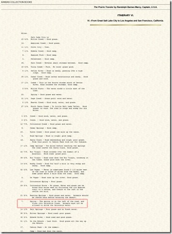
In 1859, THE PRAIRIE TRAVELER, a popular handbook for overland travelers described it: “The spring is on the left of the road, and flows into Saleratus Creek. Animals must not be allowed to drink the Saleratus water [aerated salt/a leavening agent consisting of potassium or sodium bicarbonate].”
A town near today’s Tecopa was founded in 1875 by the Brown brothers, who creatively named it Brownsville, then renamed after the Piaute Chief Tecopa the area was developed for mining of silver, lead, gypsum, borax and talc. Yet for thousands of years, the Tecopa Hot Springs had been a source of healing, used by Shoshone, Paiute, and intertribal travelers and traders. An 1851 treaty signed by Chief Tecopa and other California Natives designated the springs as open to all at no charge.
In 1907 the Tonapah and Tidewater Railroad obtained the rights to the springs for water supply. The town moved to its current location during the late 1920s the first public bathhouse was built. Then in 1930, President Herbert Hoover signed an executive order withdrawing Tecopa Hot Springs from private use for all time to protect access to the hot spring. In 1961 Inyo County signed a 20 year lease with BLM, renewed in 1981, for a campground, community center, public bath houses and related facilities which were operated for free.
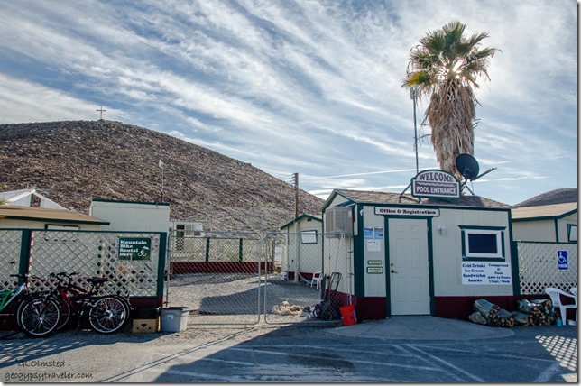 That is until 2004, with strong opposition from the community, when Inyo County sub-leased the hot springs to a private corporation called California Land Management that charged for services. Presumably visitation went downhill. Then locals Nancy Good and husband Paul Barnes in partnership with Ryan Thomas and his wife, Lara Murray reopened as concessionaires in January 2015 after months of scrubbing, remodeling and restoring. It appears the new stewards want to make this “run down facility” a little nicer by adding, music, guided hikes and photo workshops which you can learn more about on their Facebook page. This all takes money so of course there is a fee unlike the Chief’s time.
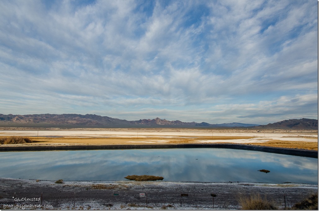
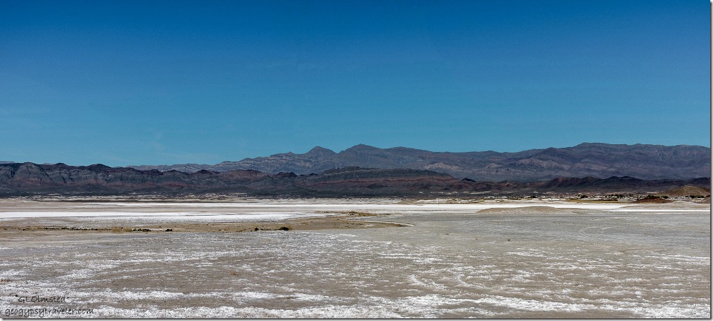 Across the salt flats to the right Tecopa sits at the foot of the Nopah Range
Tecopa is a town that takes you back in time, like nothing much has changed in the 50+ years since the campground opened. The healing waters may have drawn throngs then but now seems like a place time forgot. We had no problem getting a campsite, with or without hookups, on this winter weekday. However, being near Las Vegas and the, unfortunately closed, southeast entrance to Death Valley could mean the place gets busy sometimes. For $18 dry camp (+$3/30amp electric) including soaks 24/7 we enjoyed the view of brown parched land with bleached white salts and mountains beyond.
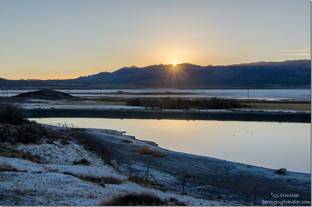 Camping above the sewage lagoon
In fact the delightful warm temperature, and lack of wind, allowed us to sit outside as the sun sank and I was not motivated to walk over to the pool and soak, which I really do like but prefer natural outside springs. When we checked in I did peak into the ladies bathhouse, fresh and clean, a cement pool with round river rock bottom where natural 105F degree water bubbles up from the earth and it did look inviting. BTW, women and men’s bathhouses are segregated and clothing is actually prohibited by Inyo County code. So no photos.
 Guess I blew that and need to return to the “healing waters”. Heck at the reasonable monthly rates I could stay there cheaper than Kanab and have the pool handy all the time. This would be a good base for exploring the surrounding area.
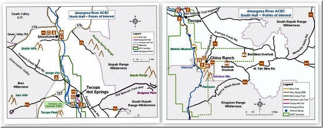 Because we were focused on the Super Bloom at Death Valley we only stayed one night at Tecopa hot springs campground and didn’t take the time to visit the family run farm at China Ranch, hike mountain, river and slot canyon trails, climb sand dunes around Amargosa River Canyon, rock hunt for petrified palm, chalcedony, agate, gypsum and trilobites, or sample a brew or two at the local Death Valley Brewing. Seems there’s never enough time to do it all yet provides excuses to return.

