• Home
  • About Geogypsy
    • Herstory
    • Parks where I’ve worked
  • Places I’ve been
    • United States
      • Arizona
        • Antelope Slot Canyon
        • Casa Grande Ruins National Monument
        • Colossal Cave Mountain Park
        • Flagstaff
        • Glen Canyon National Recreation Area
        • Grand Canyon National Park
          • Grand Canyon National Park North Rim
          • Grand Canyon National Park South Rim
          • Toroweap
        • Havasu Canyon
        • Horseshoe Bend
        • Jerome
        • Kaibab National Forest
        • Lee’s Ferry
        • Meteor Crater
        • Navajo Bridge
        • Oak Creek Canyon
        • Painted Desert
        • Pipe Springs National Monument
        • Prescott
        • Quartzsite
        • Saguaro National Park
        • Sedona
        • Sunset Crater Volcano National Monument
        • Vermilion Cliffs
        • Walnut Canyon National Monument
        • Wupatki National Monument
        • Yarnell
      • California
        • Anzaberrego
        • Bakersfield
        • Death Valley National Park
        • Joshua Tree National Park
        • Redwoods NP
        • Salton Sea
        • Yucca Valley
      • Colorado
        • Mesa Verde National Park
      • Florida
      • Illinois
        • IL River
        • Morton Arboretum
        • Starved Rock State Park
      • Michigan
      • Nevada
      • New Mexico
      • Oregon
        • Crater Lake NP
        • Mt Hood
        • Oregon Caves National Monument
      • Texas
        • Alpine Texas
        • Padre Island
        • Port Isabel
        • Rio Grande Valley
      • Utah
        • Brian’s Head
        • Bryce Canyon National Park
        • Buckskin Gulch
        • Cedar Breaks National Monument
        • Cedar City
        • Coral Pink Sand Dunes State Park
        • Dixie National Forest
        • Grand Staircase Escalante National Monument
        • Johnson Canyon
        • Kanab
    • World Travels
      • Germany
      • Mexico
      • South Africa
  • Tours
  • Photography
  • Work with Me
    • Sponsors
  • Contact
Geogypsy
Menu
  • Home
  • About Geogypsy
    • Herstory
    • Parks where I’ve worked
  • Places I’ve been
    • United States
      • Arizona
        • Antelope Slot Canyon
        • Casa Grande Ruins National Monument
        • Colossal Cave Mountain Park
        • Flagstaff
        • Glen Canyon National Recreation Area
        • Grand Canyon National Park
          • Grand Canyon National Park North Rim
          • Grand Canyon National Park South Rim
          • Toroweap
        • Havasu Canyon
        • Horseshoe Bend
        • Jerome
        • Kaibab National Forest
        • Lee’s Ferry
        • Meteor Crater
        • Navajo Bridge
        • Oak Creek Canyon
        • Painted Desert
        • Pipe Springs National Monument
        • Prescott
        • Quartzsite
        • Saguaro National Park
        • Sedona
        • Sunset Crater Volcano National Monument
        • Vermilion Cliffs
        • Walnut Canyon National Monument
        • Wupatki National Monument
        • Yarnell
      • California
        • Anzaberrego
        • Bakersfield
        • Death Valley National Park
        • Joshua Tree National Park
        • Redwoods NP
        • Salton Sea
        • Yucca Valley
      • Colorado
        • Mesa Verde National Park
      • Florida
      • Illinois
        • IL River
        • Morton Arboretum
        • Starved Rock State Park
      • Michigan
      • Nevada
      • New Mexico
      • Oregon
        • Crater Lake NP
        • Mt Hood
        • Oregon Caves National Monument
      • Texas
        • Alpine Texas
        • Padre Island
        • Port Isabel
        • Rio Grande Valley
      • Utah
        • Brian’s Head
        • Bryce Canyon National Park
        • Buckskin Gulch
        • Cedar Breaks National Monument
        • Cedar City
        • Coral Pink Sand Dunes State Park
        • Dixie National Forest
        • Grand Staircase Escalante National Monument
        • Johnson Canyon
        • Kanab
    • World Travels
      • Germany
      • Mexico
      • South Africa
  • Tours
  • Photography
  • Work with Me
    • Sponsors
  • Contact

Tag: sunsets

16 August 2017

Crazy Jug Point never disappoints

August 7-9, 2017

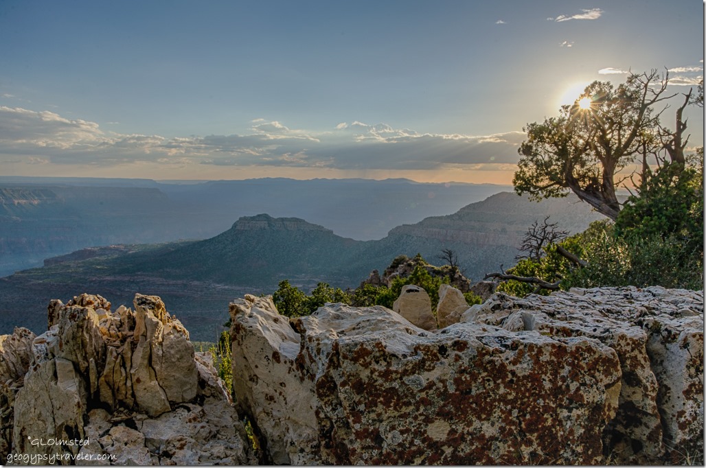
sunset Crazy Jug Point Kaibab National Forest ArizonaThe first journey of the season to Crazy Jug Point, my favorite overlook along the western rim of Grand Canyon on the Kaibab National Forest.
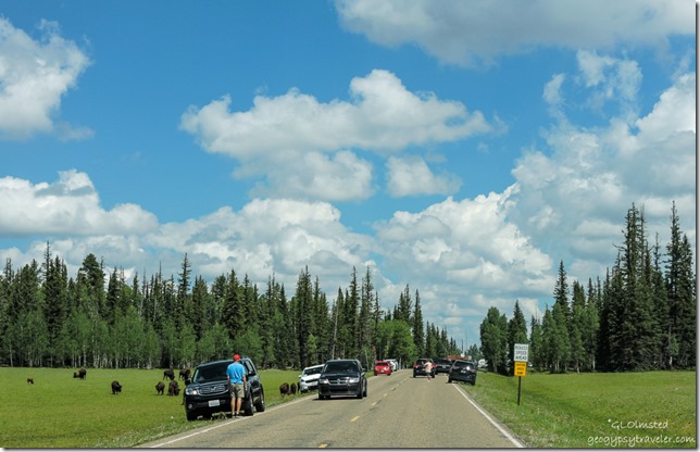
people cars bison meadow entrance station North Rim Grand Canyon National Park ArizonaLeft home about 10:45 am, no hurry on my first of three days off work Rangering at the North Rim Grand Canyon. Had chores to do, packing and loading, plus dumping tanks on the camper. Saw at least 40 head of hybrid Bison congregated on the meadow right before the entrance station, some not more than two feet from the road, cars, and people.  These hybrids may be a little smaller than pure American Bison but are big, powerful, and potentially dangerous when their possible ton of weight with curved, sharp horns can run up to 40 miles per hour.
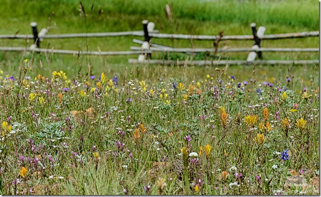
wildflowers fence Deer Lake Kaibab National Forest ArizonaAfter slowing for the tourons I continued a mile past the gravel Forest Road (FR) 22 where a western turn would take me towards my destination.  First topped off with diesel and filled a propane tank at North Rim Country Store.  Friendly and wonderful folks. I hit gravel at 11:30.  Then I immediately stopped for yellowbluewhiteredpurpleorange wildflowers on the hillside above Deer Lake. There were even a couple of ducks on the lake.
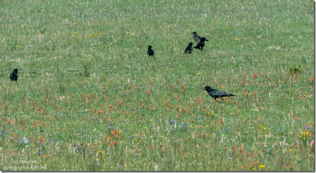
Ravens wildflowers FR22 Kaibab National Forest ArizonaAfter the first couple miles of washboard on FR22 the gravel smooths out enough for 25/30mph in most places. Nice there was no other traffic so I could ride center and even opposite direction sometimes for the smoothest ride.  With a few additional photo stops I took one hour to reach FR425 at 18 miles of the drive and 12 miles to go. Lovely forest and even a coral and cabin before hitting FR292 for the last two miles of more narrow, steep, and rocky road. One giant mud puddle and pull up to a change at the camp/overlook. The Forest Service put in a very nice fence reducing the parking area. Took me two hours to drive 42 miles.
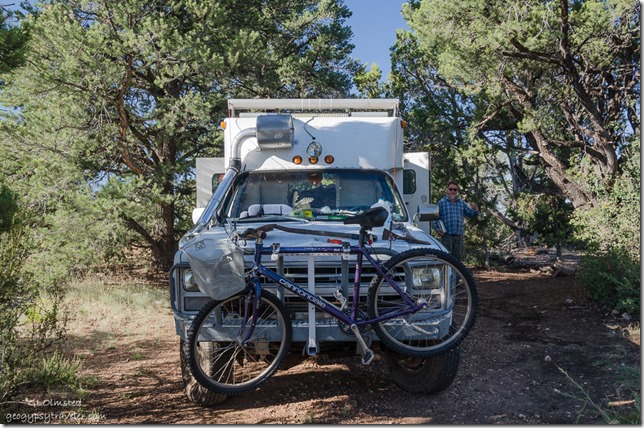
Tom converted ambulance Crazy Jug Point Kaibab National Forest ArizonaRebecca and Marco were already parked and set up with the popup cabover, an old ambulance converted to camper parked behind them (Tom) from North Carolina, and a Las Vegas couple with a red pickup truck who were just leaving. I leveled up under some trees and chairs were gathered in the appreciated afternoon shade for some lively conversation.
storm from Crazy Jug Point Kaibab National Forest Arizona

storm from Crazy Jug Point Kaibab National Forest Arizona

storm from Crazy Jug Point Kaibab National Forest Arizona

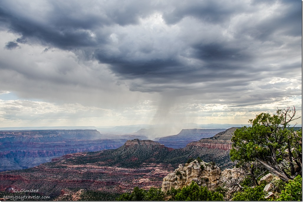
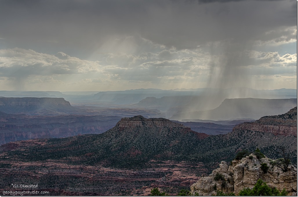
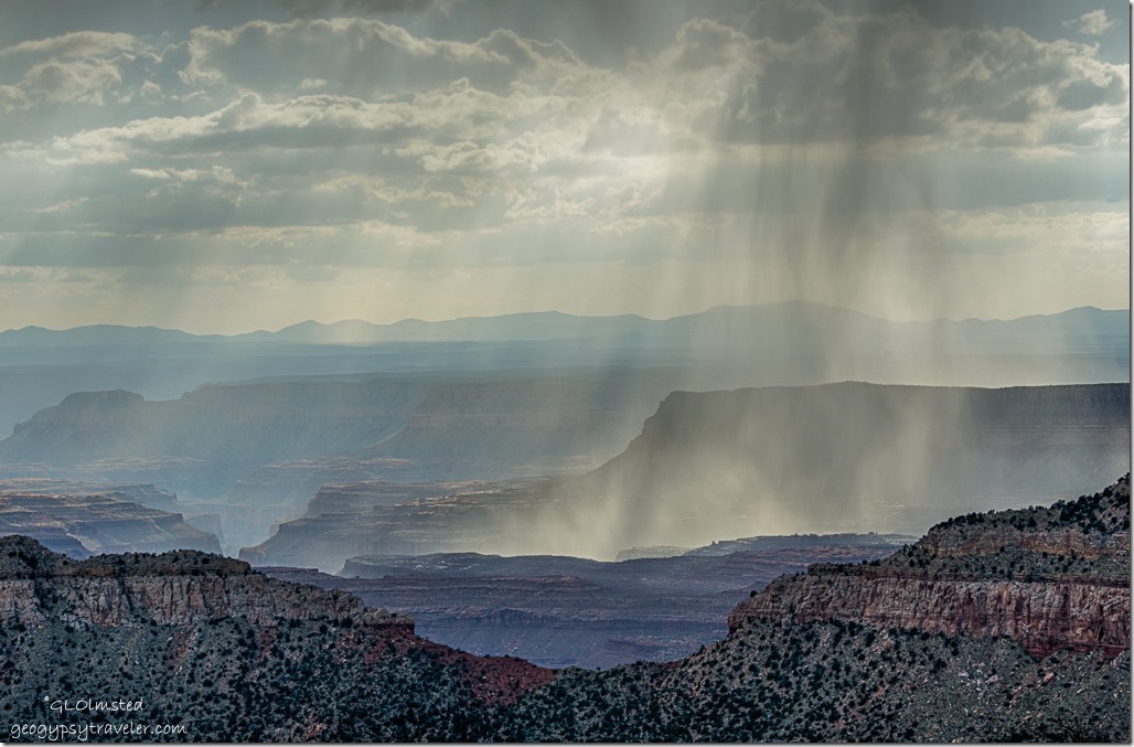
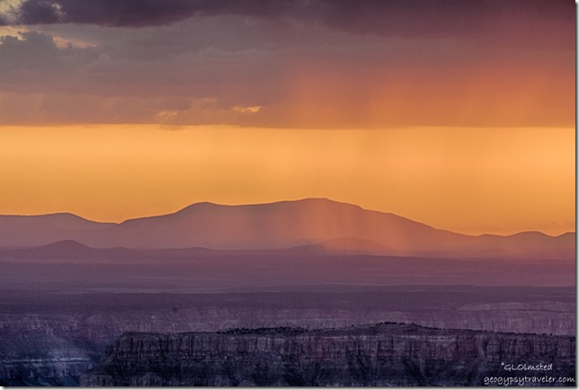
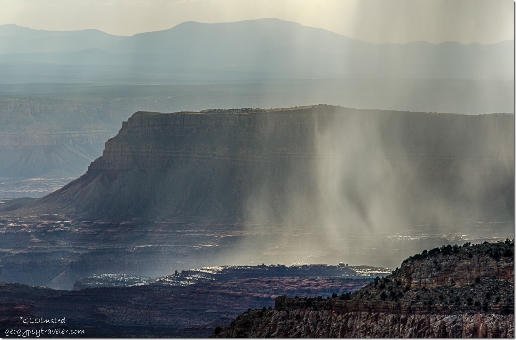
storm from Crazy Jug Point Kaibab National Forest ArizonaSome took naps while I walked to the rim for a nice little monsoon shower falling to the west with late light shining up the view.  Crazy Jug Point is my favorite view for watching monsoon storms over Grand Canyon.
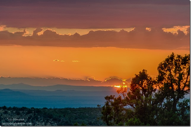
sunset from Crazy Jug Point Kaibab National Forest Arizona

sunset from Crazy Jug Point Kaibab National Forest Arizona

sunset from Crazy Jug Point Kaibab National Forest Arizona

sunset rain from Crazy Jug Point Kaibab National Forest Arizona

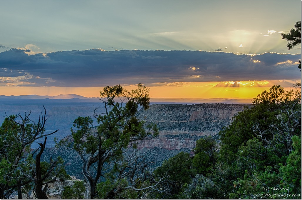
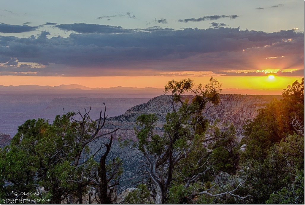
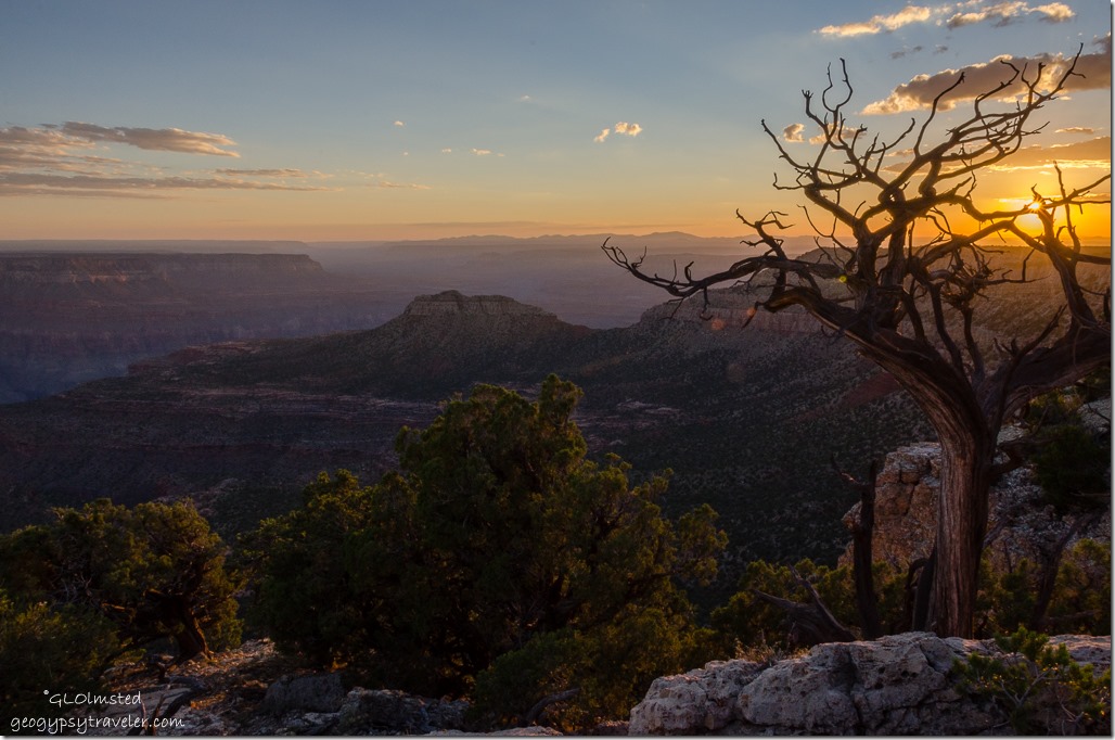
sunset rain from Crazy Jug Point Kaibab National Forest ArizonaShot sunset at the western rim.

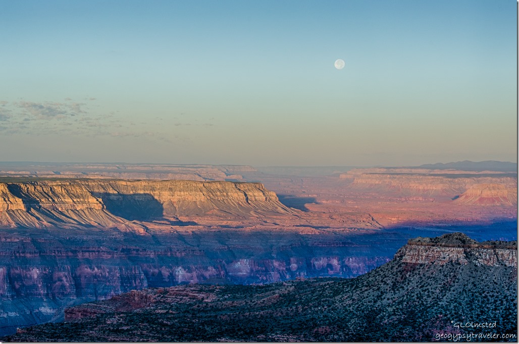
Full moon rise over Rainbow Rim from Crazy Jug Point Kaibab National Forest Arizona  Tried moon rise over the Rainbow rim to the east.  Have much to learn about photography in dim lighting.
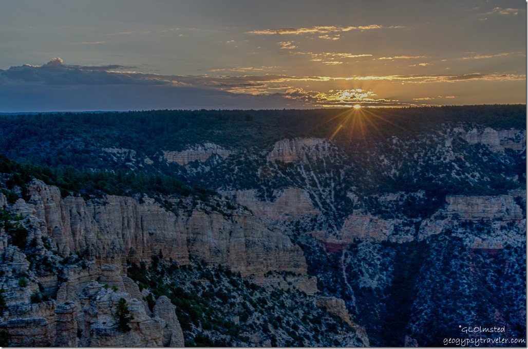
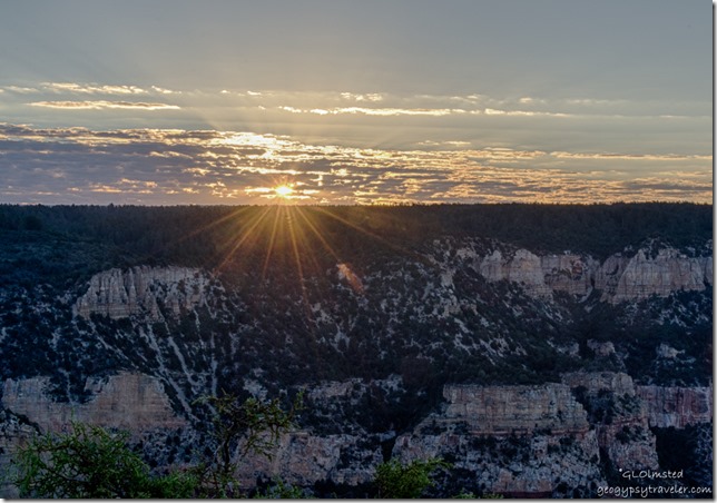
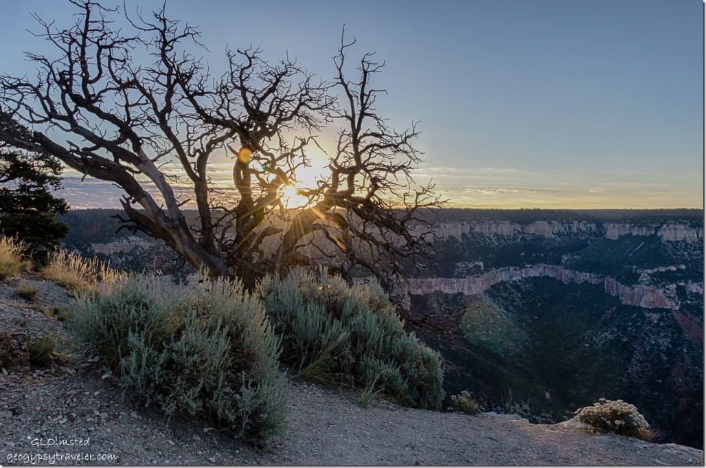
sunrise Crazy Jug Point Kaibab National Forest ArizonaThen early to bed and (with the help of an alarm clock) early to rise.  Yes, I made another sunrise.  But slept through a Crazy Jug Point spider tap dancing across my forehead while I slept.  Need to spray mint oil in the camper.
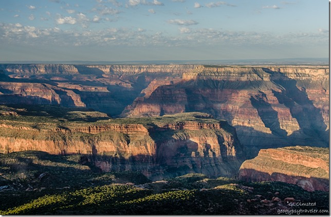
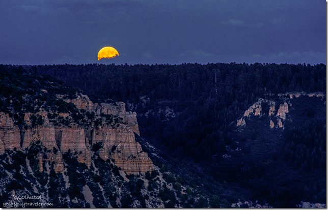
Full moon set canyon Crazy Jug Point Kaibab NF AZ

Crazy Jug Point Kaibab National Forest ArizonaPlus watched the (almost) full moon setting along with nice morning light on the canyon walls.
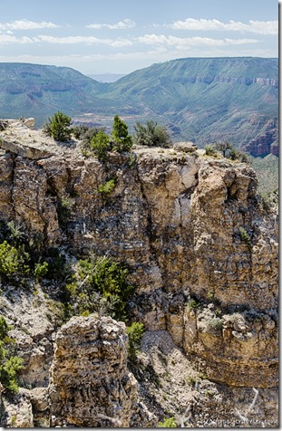
Crazy Jug Point Kaibab National Forest ArizonaRebecca and Marco had to move on after almost a week camping at various places on the forest.  I still had two days off work so stayed to chill.  Tom also decided to stay.  Mostly hung out along the rim watching the day go by with interspersed sits in the shade. Only one vehicle showed up all day for a brief look and then were on their way.

According to Gregory McNamee in Grand Canyon Place Names, “Crazy Jug Point was named after a curiously shaped sandstone rock, which doubtless thirsty early prospectors called ‘the crazy jug,’ that stands at the head of this North Rim point, with the Canyon below it.”
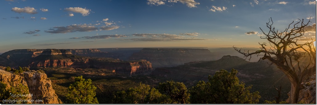


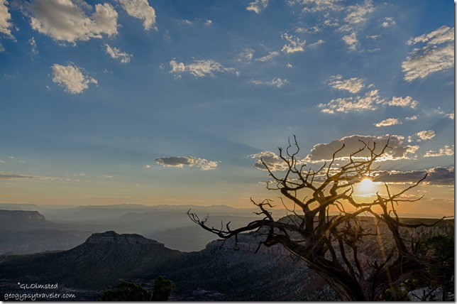
sunset Crazy Jug Point Kaibab National Forest Arizona

sunset Crazy Jug Point Kaibab National Forest ArizonaAfter another beautiful sunset Tom made dinner with his own canned venison mixed with rice.  Delicious.  He also gave me a bottle which will make a special treat with his memory in mind somewhere down the road.
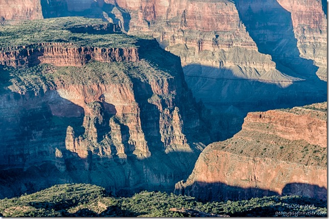
sunrise Crazy Jug Point Kaibab National Forest Arizona

sunrise Crazy Jug Point Kaibab National Forest Arizona

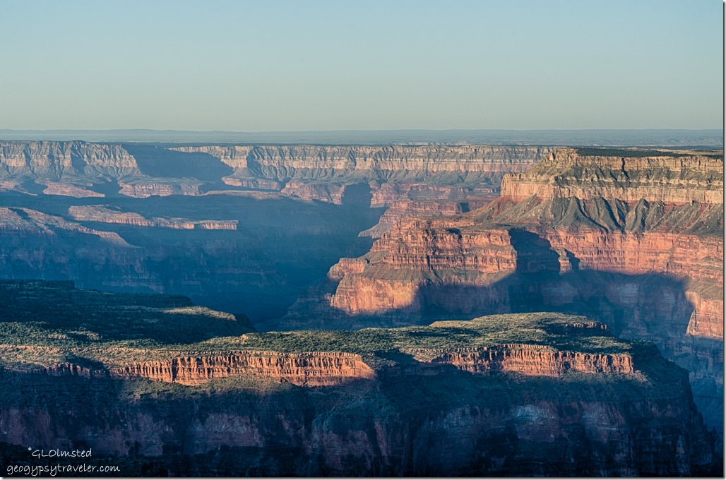
South from Crazy Jug Point Kaibab National Forest Arizona

light & shadow down in canyon from Crazy Jug Point Kaibab National Forest ArizonaAnother sunrise and no hurry morning for me.  Tom packed up for his continued journey to some races at the Bonneville Salt Flats.  He’s on an extended road trip from his North Carolina home base.
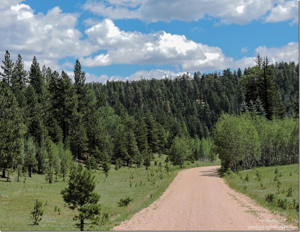
FR22 Kaibab National Forest Arizona

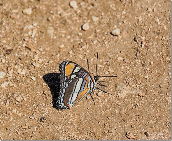
Arizona Sister butterfly FR425 Kaibab National Forest ArizonaArizona Sister butterfly

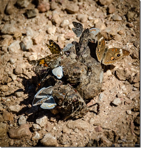
Acmon Blues, AZ Sister, Wood-Nymph butterflies on scat FR22 Kaibab National Forest ArizonaAcmon blues, Arizona Sister, and Wood-nymph butterflies

I mosied down the forest roads with many stops along the way.  How curious to see clusters of varied and brilliant butterflies almost covering some rather fresh and moist scat.
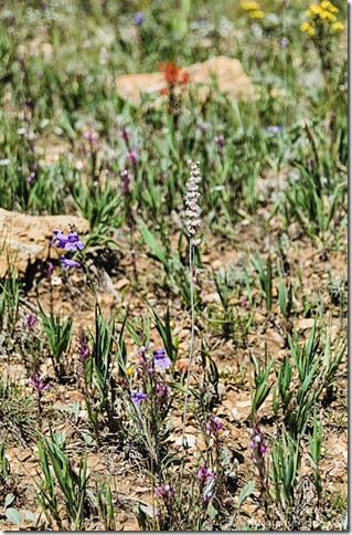
wildflowers FR22 Kaibab National Forest ArizonaAnd of course there were many more wildflowers to stop and smell/photograph along the way.

Save

Save

Push my buttons!

  • Click to share on Facebook (Opens in new window) Facebook
  • Click to share on X (Opens in new window) X
  • Click to share on LinkedIn (Opens in new window) LinkedIn

Like this:

Like Loading...
Arizona, Crazy Jug Point, Kaibab National Forest, Places I've been, United States camping, full moon, moon rise, moon set, sunrise, sunsets 19 Comments
22 March 2017

Alabama Hills – a trip back in time

March 9-15, 2017

A time machine set for March 9, 2017 took me to the Alabama Hills.  Yet I also traveled further back in time and to other places filled with memories.

snow Lone Pine Pk Alabama Hills BLM Lone Pine CaliforniaHave you ever visited a place you’ve never been before yet it feels familiar?  That’s how I felt at Alabama Hills.  The round eroded boulders reminded me of many visits to Joshua Tree.  The stretched out, snowy range of the High Sierras made me think of the North Cascades in Washington state were I once lived.  The entire landscape, so vast I couldn’t take it all in.  Plus a nagging feeling I’d seen this place before.

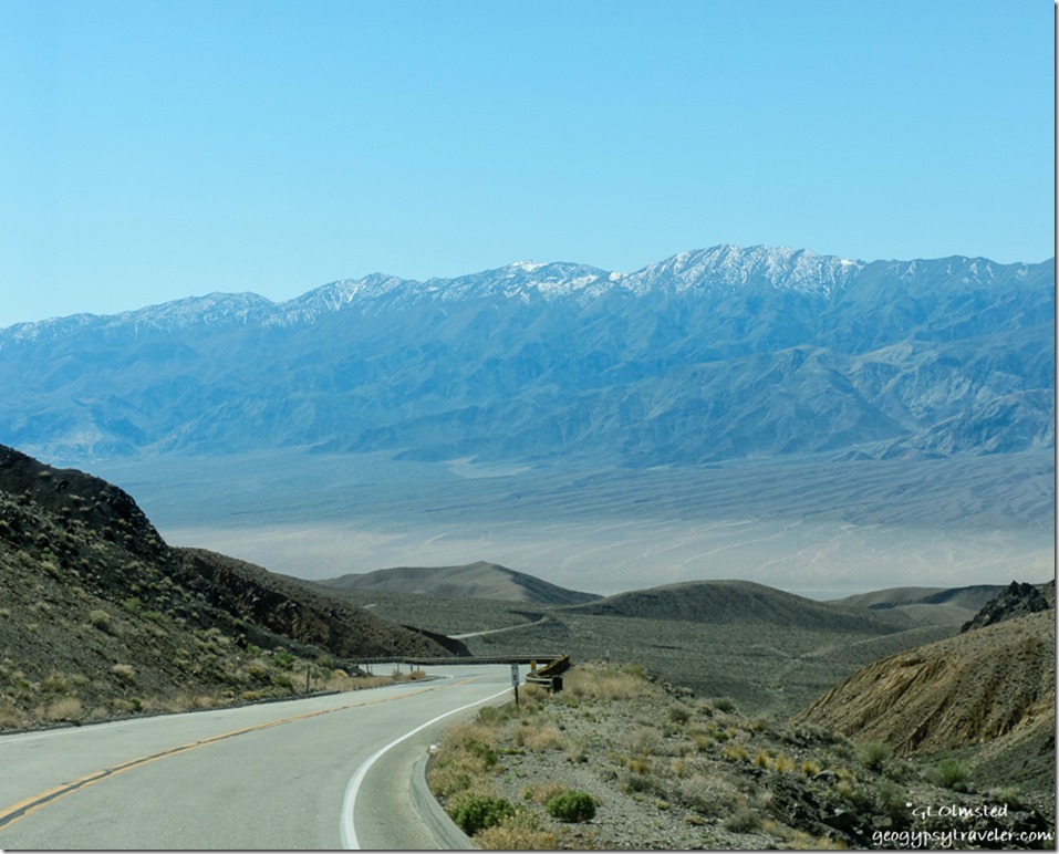
03 DSCN1250lerw Panamint Valley Inyo Mts SR190 W DEVA NP CA g-1-2I left Death Valley on SR190 heading west.  The twisty climb over the Panamint Mountains may not be for the fainthearted or long vehicles.  Having said that, Dave met at Alabama Hills towed a 40 foot 5th-wheel, and I did see a tour bus stopped at an overlook along the equally curvy road over the Inyo Mountains.  Even saw some potential boondocking to the north before dropping into the Owens Valley.

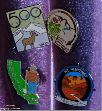
hat pins Eastern SierraStopped at the Eastern Sierra visitor center, bought a few pins for my curtain collection, and got my Inyo National Forest Junior Ranger book, plus lots of information on the area.  Wow, there’s a lot to see an do: museums, drives, hikes, and Manzanar National Historic Site.


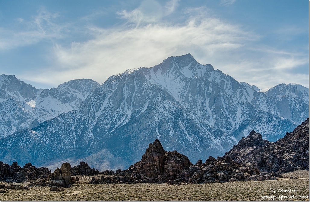
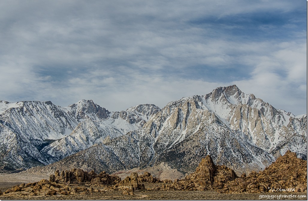
High Sierras Alabama Hills BLM Lone Pine CaliforniaTurned west at the only stop light in Lone Pine, California.  Even with maps and what I thought was a false turn I kept on driving up Whitney Portal Road somehow drawn to the snowy Eastern Sierras.  Yea I know, me who hates cold and snow.  Yet these jagged peaks are mystifying.  I can understand why the volunteer in the visitor center moved here after retirement because he’d hiked these mountains for decades.  I so respect people who have a sense of place, wherever their place may be.

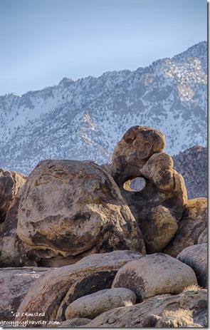
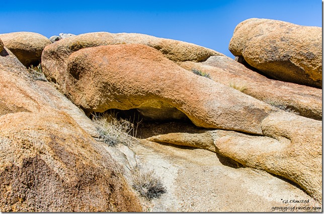
Arch High Sierras Alabama Hills BLM Lone Pine CaliforniaA plethora of gravel roads wind in, around, and between the monoliths of eroded granite.  No signal anywhere.  I drove very slowly for an hour looking for that just right campsite.  Not too close to others, not tucked too tightly into the boulders.  When I’d find a place where I liked the view, it was a road.  Can’t park in the road.  Found a place between two roads looking up at an arch and the High Sierras but even with three boards stacked for the front tires to level couldn’t climb the boards only scooching them in from of the tires.  Finally parked on high ground with a 360° view of sandy colored boulders backed by snow topped mountains both east and west.

I understood why the granite fractures allowing water to break it further apart and round the edges.  In contrast, the towering granite mountains are carved by glaciers, cold, and ice.  But why did this place look so familiar?

Inyo Mountains Alabama Hills BLM Lone Pine CaliforniaIf you grew up during the 1950s like I did, this landscape may take you back a bit.  During the 1920s Hollywood filmmakers began making westerns in the Alabama Hills.  Tom Mix, Hopalong Cassidy, Gene Autry, and the Lone Ranger all shot it out with outlaws among the boulders.  Classics such as Gunga Din, Yellow Sky, and How the West Was Won were filmed at sites now known as Movie Flat.  In 1990, Tremors was filmed almost entirely on location in the Alabama Hills.  (Yes, I stayed on the rock.)  And more recently, Star Trek Generations, Gladiator, and Iron Man among others were filmed here as well.  Today, mostly car commercials are filmed here.  The Museum of Western Film History is located in Lone Pine and offers a map to film locations.  However, I never made it to the museum and instead waited patiently for that masked man to ride up on Silver.  Instead I saw RVs of every description, jeeps, ATVs and dirt bikes.

sunset High Sierras Alabama Hills BLM Lone Pine CaliforniaMost of the time I enjoyed peace and quiet with an occasional dusty vehicle slowly cruising past probably looking for film sites.  No wonder, because it turns out I was camped at Lone Ranger Canyon.

Alabama Hills BLM Lone Pine CaliforniaMy first full day after breakfast, and an unexpected almost two hour Windows update—how does that happen in the middle of nowhere with no connection—I wandered northward up sandy paths, over boulders, turning around to unending rugged views.

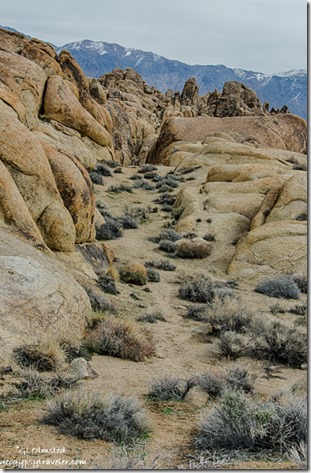
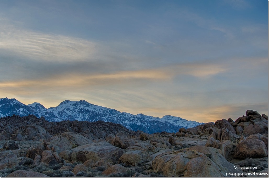
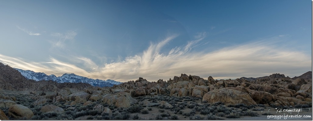
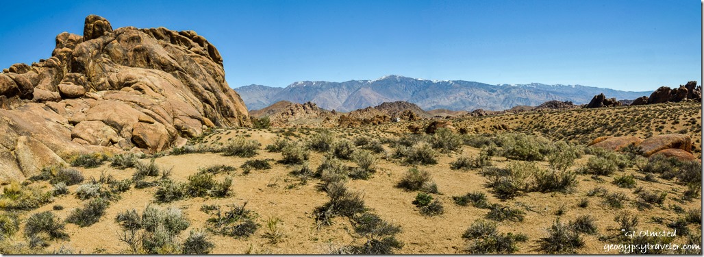
Under an overcast sky even this rough landscape looked rather dull and flat.  The topography is so complicated, it’s overwhelming to photograph and capture the enormity, kind of like grand canyon.  I could see for miles north and south in Owens Valley, or up 13-14000 feet to Lone Pine Peak and Mount Whitney.  While at the same time hide in pockets and corridors among the boulders.

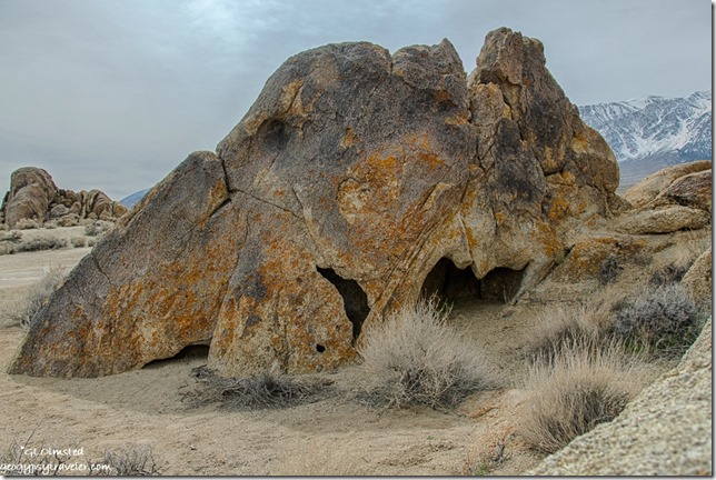
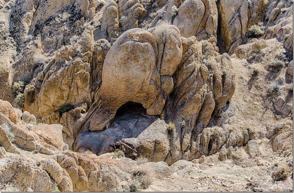
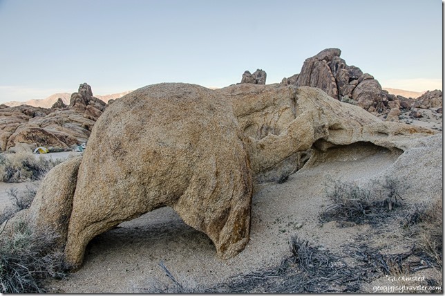
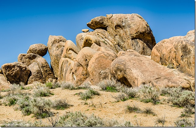
animal shape boulder Arch trail Alabama Hills Lone Pine CaliforniaI found myself looking at individual shapes and felt transported back to South Africa.  There were elephants everywhere.  Or at least rocks shaped like elephants.  Maybe you’ll see some other bizarre shapes sculpted by wind and water.  How I admire the power of nature’s art.

animal shape boulder Alabama Hills Lone Pine CaliforniaThis place is a paredolia’s dream if  you use your imagination.

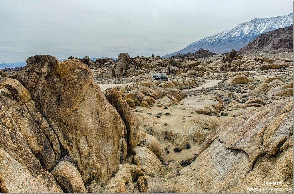
truckcamper High Sierras Alabama Hills BLM Lone Pine CaliforniaIn two hours of scrambling over rock and sand I never lost sight on the camper.

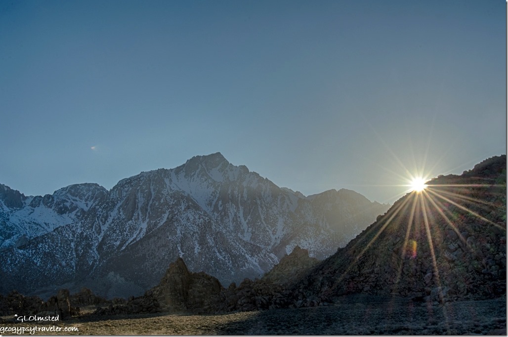
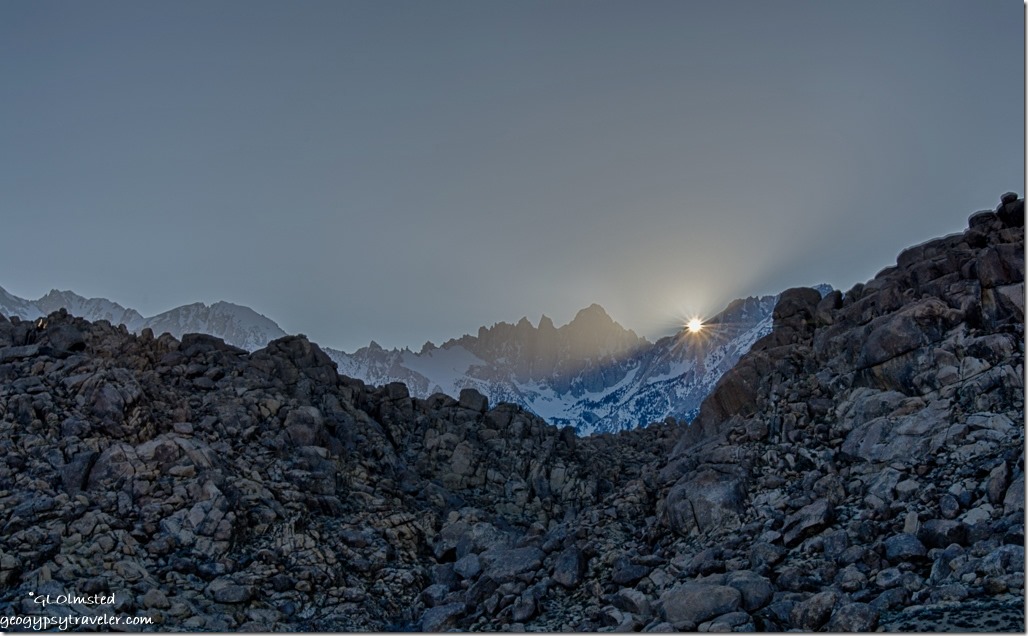
sun rays snow Lone Pine Peak Alabama Hills BLM Lone Pine CaliforniaSaturday is different.  The crystal clear blue sky of morning gave way to wispy clouds.  I turned the rig around for a different view, sitting outside wearing shorts and looking at the snowy Sierras.  Way more people around.  What looks like an adult led boys group of five in a Suburban towing an old truck-bed trailer full of camp gear park 50 feet from my door then noisily hike off into the hills for an hour and thankfully move on.  Dirt bikes scream past sending up dust plumes, popping wheelies, and buzz like bees around the landscape.  Fast traffic on the main dirt road left a cloud of sand drifting across the land.  A lone person sits atop a high boulder contemplating who knows what.  All within sight of my camp.  And suddenly quiet, only me and the wind as I sat inside working on posts and photos.

sunset Alabama Hills BLM Lone Pine California

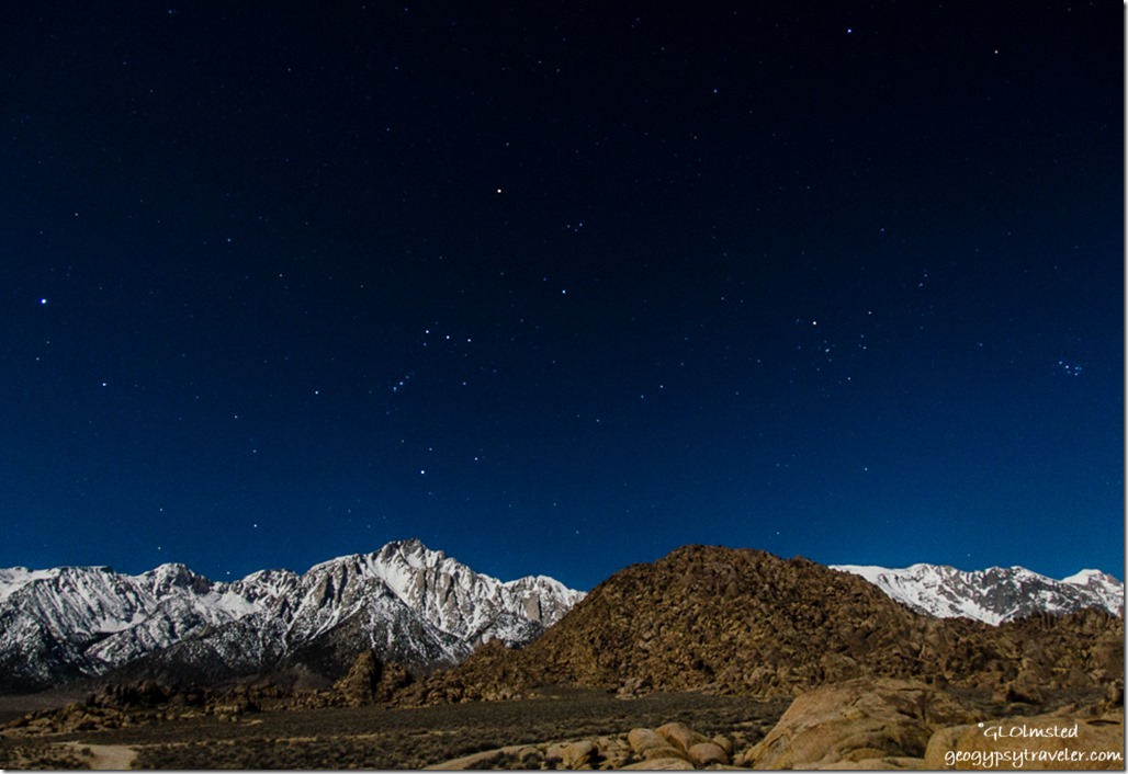
Orion Sierras Alabama Hills BLM Lone Pine CaliforniaNot only a glorious sunset, but with an almost full moon lighting up the snowy Sierras I saw Orion running overhead.

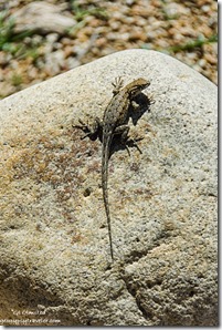
lizard Arch trail Alabama Hills Lone Pine CaliforniaSunday I went to town, did laundry and enjoyed half a huge cinnamon roll at the Alabama Hills Café & Bakery.  I also found a strong signal at a nice little city park next to the Carl’s Jr where I spent hours catching up and posting to the blog.  I feel a little lost when cut off from the world too long even in such a fantastic landscape.  Fueled up at an unbelievable, for California, $2.79/gal diesel then headed back to the Hills.


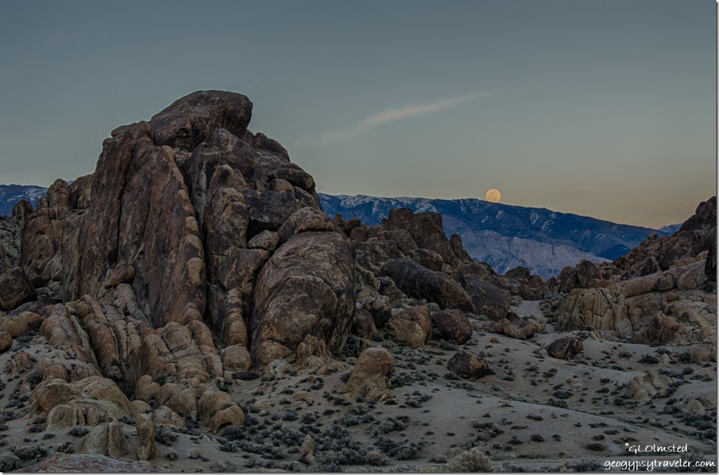
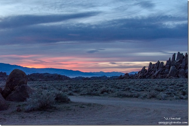
Moon rise Alabama Hills Lone Pine CaliforniaThought I’d park in a different place but didn’t want to be too buried in the boulders and difficult to find semi-level, so ended up back where I was.  No color at sunset yet the full moon rising above the Inyo Mountains more than made up for that.

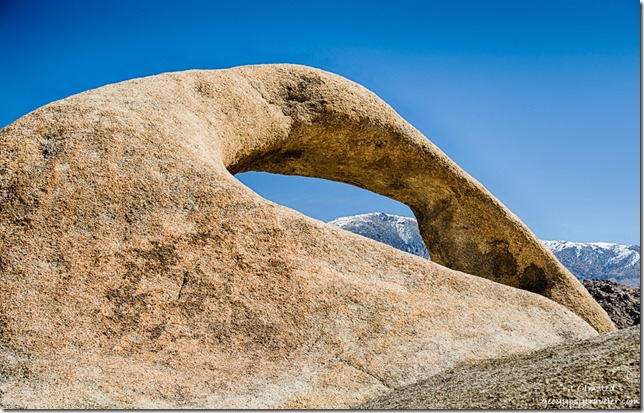
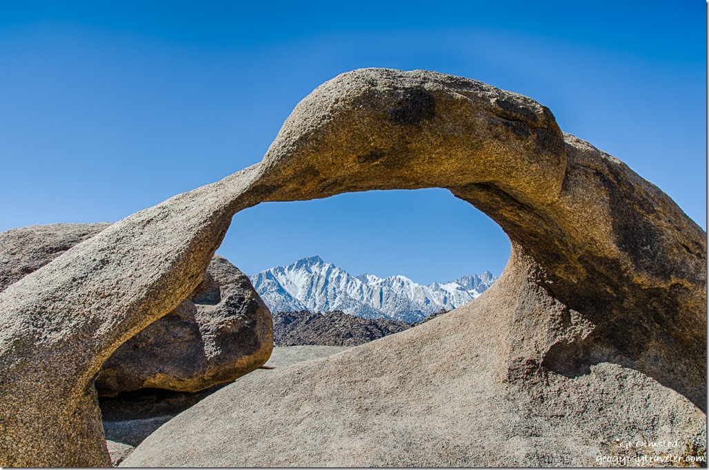
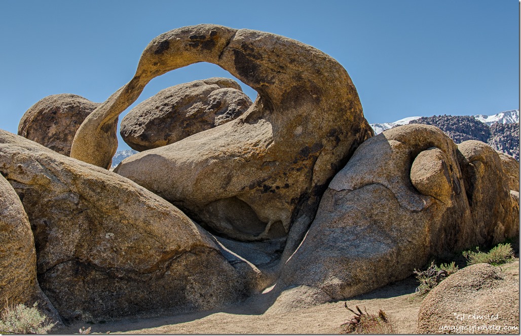
Inyo Mountains thru Mobius Arch Alabama Hills Lone Pine CaliforniaThe next day I explored a little beyond my visual camp space and hiked the less than a mile, moderately easy Arch Trail.  Of course it took me three hours as I was distracted by more than arches.  Leaving the parking area I descended into a wash and was surprised to see small pools of water with tiny black wormy things.  Life in the desert is precious and tenacious taking advantage of this water that will not last.

Sierras through Mobius Arch Alabama Hills Lone Pine CaliforniaA young boy with a drone strapped to his backpack passed me on the trail.  I commented that it looked like a nice drone and that I had a question about the legality of using it on these public lands.  He paused and spoke very politely explaining that it couldn’t be used in national parks but that here was OK.  Later his mom and I spoke about the mixed feelings on drones.  Like the images dislike the noise.  Not in my backyard please.

Mobius Arch Alabama Hills Lone Pine California

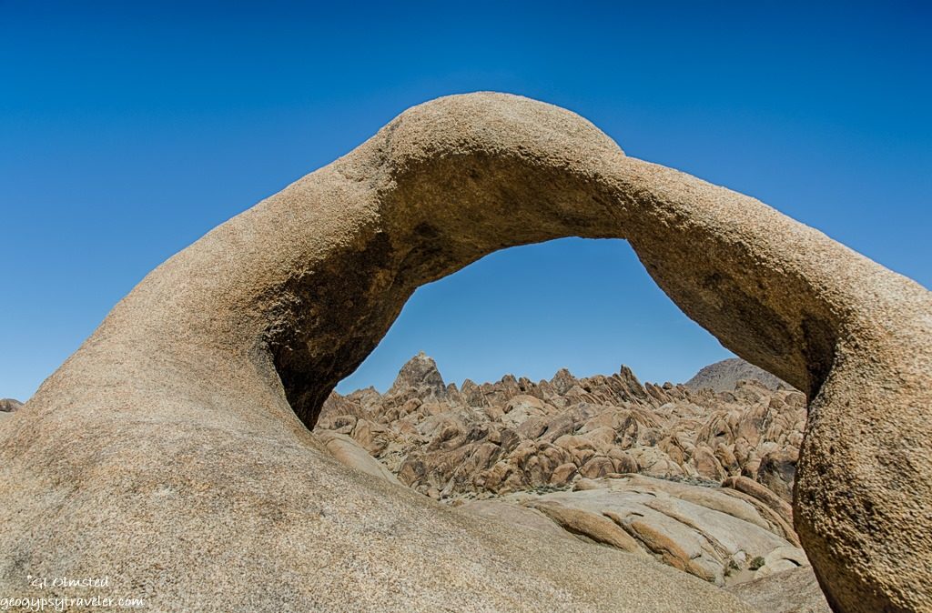
Mobius Arch Alabama Hills BLM Lone Pine CaliforniaI worked my way around Mobius Arch looking at this sinuous curve from as many angles I could safely get.  The arch seems to change shape as it frames each different view.  The few people around politely stayed out of each others way for photos.  Except for the drone kid who I waited to move off the boulders for my parting shot.

Heart Arch Alabama Hills Lone Pine California

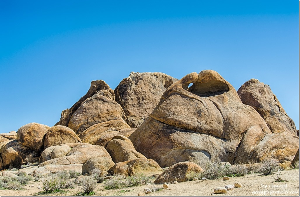
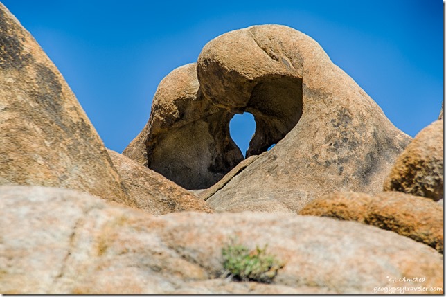
Heart Arch Alabama Hills Lone Pine CaliforniaAs I continued the loop, Heart Arch came into view and with every twist in the trail showed a different perspective.  The west side opening is like a large horizontal heart.  From the east it’s small and vertical.  Almost back to the parking lot I turn around and see the heart once more.

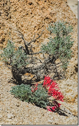
Scarlet milk-vetch Arch trail Alabama Hills Lone Pine CaliforniaAnd then just before dropping back into the wash, bright red draws my eye down the slope.  I walked down stream to see the Scarlet milk-vetch standing out brilliantly in this otherwise dusty environment.

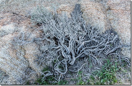
dry bush Alabama Hills Lone Pine California

I took three hours exploring and saw less than a dozen people the entire time.  Plus there are many more arches scattered about that I missed.

balanced boulders Alabama Hills Lone Pine CaliforniaFrom there I continued to drive following the BLM movie map past where Tremors was filmed and to the Gunga Din bridge site.  The entire place looks like Graboids could pop up any time.  All these sites are within a few miles of each other with totally different backdrops.  Neither would be particularly recognizable to me.

sunset High Sierras Alabama Hills BLM Lone Pine CaliforniaWhen I stopped to check out the wash that presumably ran under the now non-existent bridge a couple of gals told me they were packing to leave if I wanted their premo campsite.  So I wandered for a bit, entertaining their friendly dogs, and ended up with a slightly different view for my new camp.  A few boulders nearby, more in the distance, and still far views.  Perfect.

boulders Alabama Hills Lone Pine CaliforniaI had thought about returning to town the next day but when I find a place I really like, I just want to stay for a while.  The disadvantage to having one unit, instead of a trailer to unhitch from or a towed behind a motorhome is when I leave, I’m actually gone and don’t feel comfortable leaving a chair behind to claim my space, especially in a place like this.  It would probably be OK, but…the gals who left said someone pulled in to tell them, “you have my site.”  This is definitely a first come type of place and there’s plenty of space, some just being a little nicer than others, IMHO.  But we’re all different.  A group of folks within sight but probably 1/4 mile away are backed up into a hole in the western rocks and had very early shade.  That wouldn’t be my preference.

water wash Mount Whitney Alabama Hills Lone Pine California

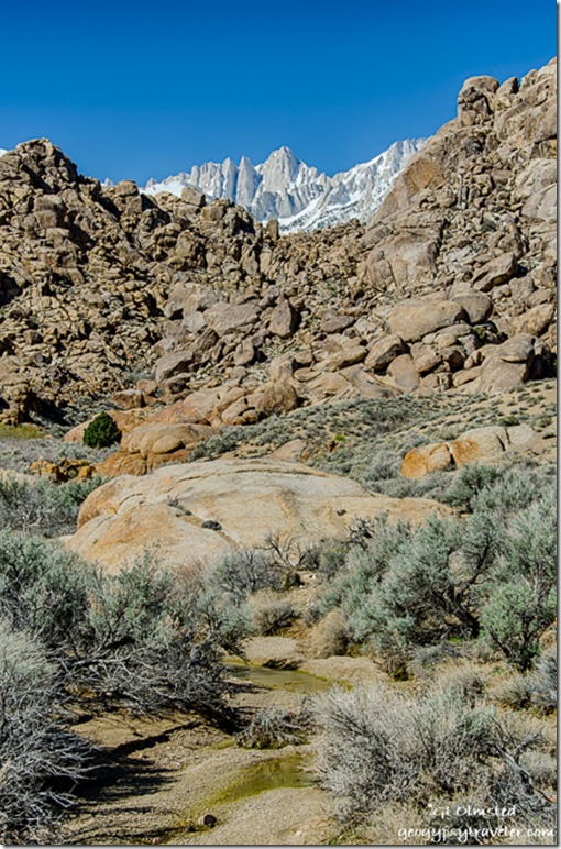
Inyo Mountains Alabama Hills Lone Pine CaliforniaTuesday dawned clear with temperatures promising to rise into the high 70s.  I took a wander up the not quite so dry wash to the only tree in sight.  How exciting to find water in pools, even flowing with mini-falls, enough to make a soft noise.  And lush tiny carpets of thick moss, an oasis in the surrounding dry environment.  I considered a dip but the water was too cool for my preference and I wouldn’t want to disturb the plants, and whatever those tiny worm things are.

sunrise Alabama Hills Lone Pine CaliforniaThe next morning I felt a need to move again.  Went to town for a signal, and muffin at the bakery.  Then headed north on US395 a short ways to visit Manzanar National Historic Site.

Things to know

These Alabama Hills are not in Alabama.  They were named by prospectors for the CSS Alabama warship during the American Civil War.

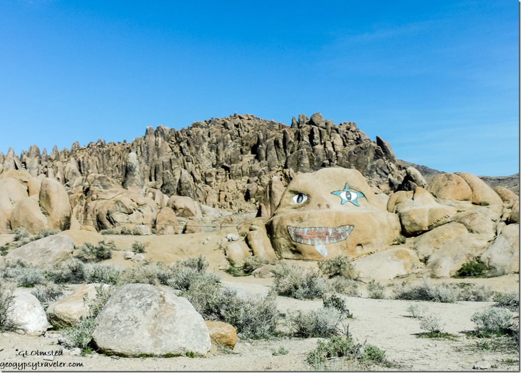
face on rock Alabama Hills Whitney Portal Road Lone Pine CaliforniaNearly 30,000 acres of public lands located west of Lone Pine, California off the Whitney Portal Road are managed by the Bureau of Land Management (BLM) to preserve the hills and provide recreation.  Dispersed camping is allowed for up to 14 days with a pack it in pack it out policy.  There’s a dumpster in the city park.  Nearby Tuttle Creek Campground offers affordable sites with potable water, toilets, and a dump station available.

Save

Save

Save

Save

Push my buttons!

  • Click to share on Facebook (Opens in new window) Facebook
  • Click to share on X (Opens in new window) X
  • Click to share on LinkedIn (Opens in new window) LinkedIn

Like this:

Like Loading...
Alabama Hills, California, National Parks and Monuments, Places I've been, United States camping, full moon, granite boulders, High Sierras, hiking, sunsets 31 Comments
22 February 2017

Back to Darby Well Road

February 13-19, 2017

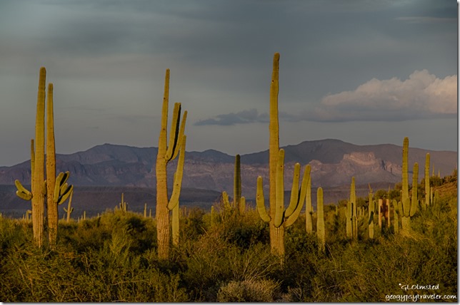
Sunset saguaros Darby Well Road BLM Ajo ArizonaSeems I just can’t get enough of the peace and quiet beauty of the desert so I returned to Darby Well Road after two days in Ajo at Belly Acres RV Park.

Sunset Darby Well Road BLM Ajo Arizona

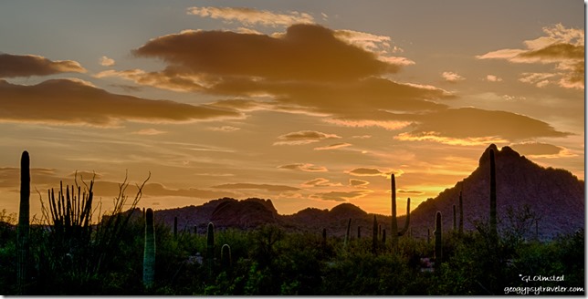
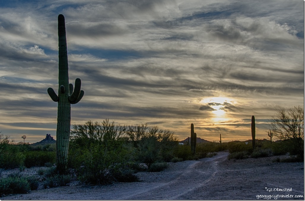
Sunset on saguaros Darby Well Road BLM Ajo ArizonaMy previous camp site was taken so I wandered a bit looking for someplace nice with a signal.  It’s all nice but some easier to access parking is rather close to the dusty dirt road.  As it was late afternoon I settled with a place figuring on finding a better location, and signal, the next day.


Clouds cactus Darby Well Road BLM Ajo Arizona

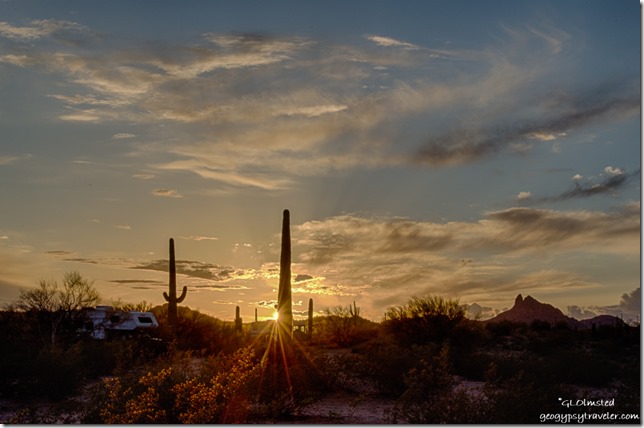
Late light saguaros Darby Well Road BLM Ajo ArizonaLucky me, my previous site was vacant so I went back there again.  I spent most of the day sitting in the quiet warm sunshine reading interspersed with soaking in the desert surroundings.  Late afternoon brought huge puffy clouds to the south, golden glow, and yet another colorful sunset.

Reverse sunset Darby Well Road BLM Ajo Arizona

Sunset Darby Well Road BLM Ajo ArizonaThe next day I’d be meeting up with a friend who used to work at the North Rim and is now a backcountry ranger at Aravipa.  She drove down to visit some Utah friends who were also boondocking along Darby Well Road.

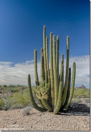
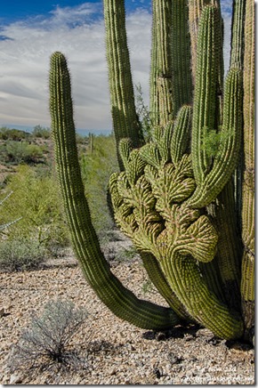
Crested organ pipe cactus Darby Well Road BLM Ajo Arizona

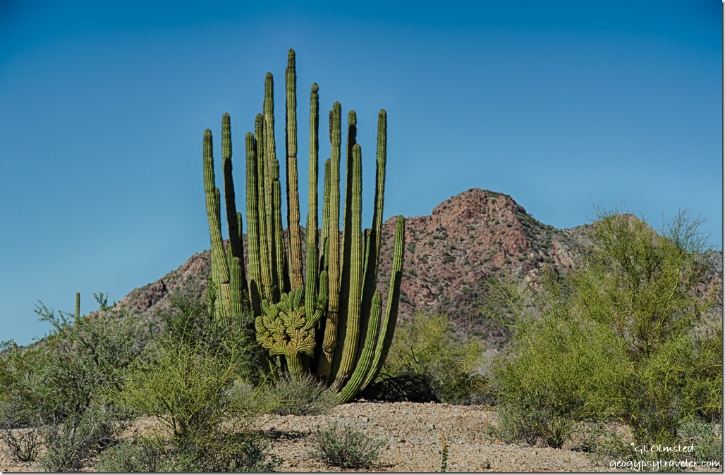
Crested organ pipe cactus Darby Well Road BLM Ajo ArizonaWednesday we all met up and it turns out Bill and Emily know my friend Bill, and a few other mutual friends.  So fun.  We took a little walk into the desert west of the road with Bill leading us to an absolutely gorgeous crested organ pipe cactus.  The whole hike was an easy one mile round trip but you do have to crawl under a barbed wire fence onto the mine land for a short way.  Afterwards we hung out in their camp for a while chatting away, no pics of course, then Bill lead me cross country the short way to my camp.  Since then they’ve found another crested organ pipe cactus in the area.


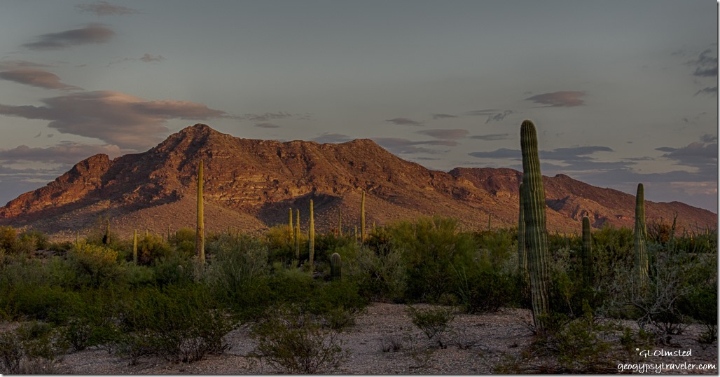
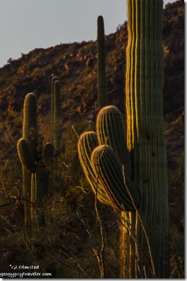
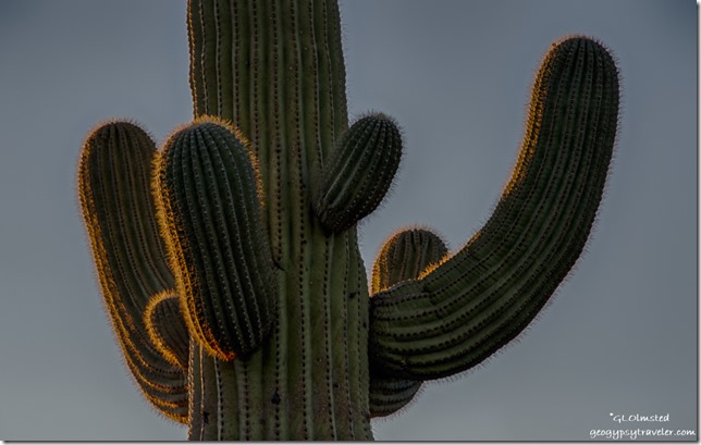
Sunset glow saguaro Darby Well Road BLM Ajo ArizonaNo clouds that night meant a soft pastel sunset that lit up saguaro spines.

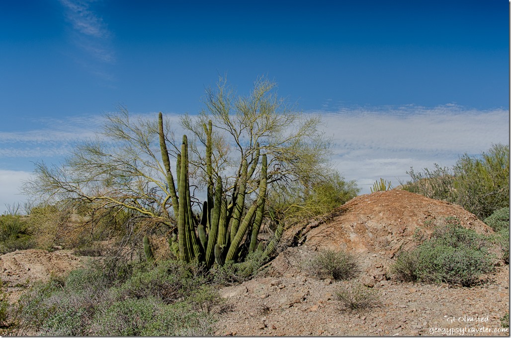
Organ pipe cactus & palo verde Darby Well Road BLM Ajo ArizonaNot that one

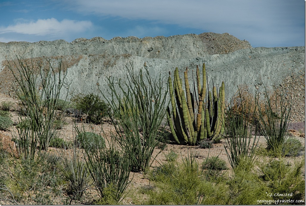
Organ pipe cactus & ocotillo Darby Well Road BLM Ajo ArizonaOr that one

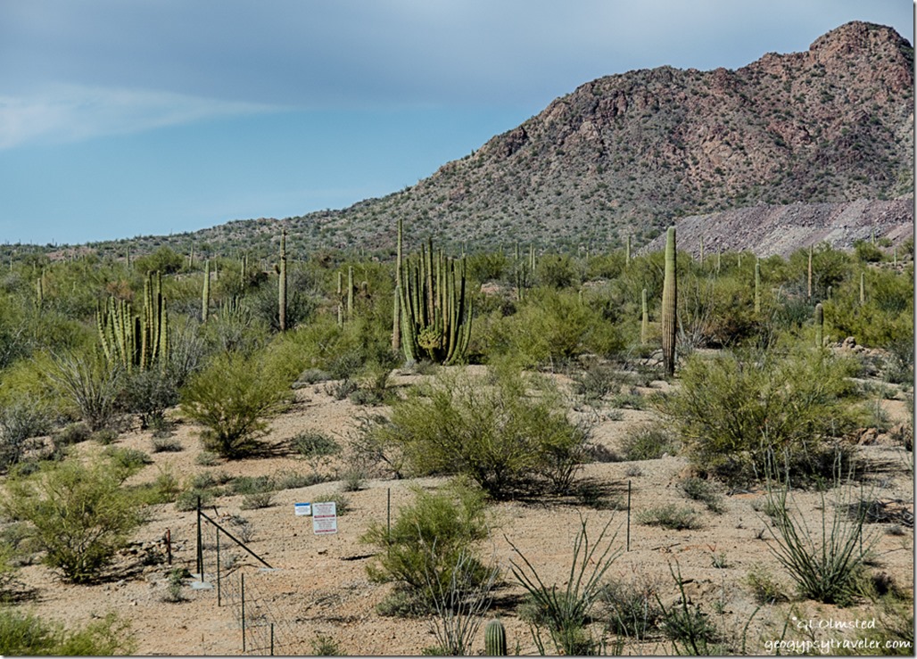
Fence & crested organ pipe cactus Darby Well Road Ajo BLM ArizonaCan you see it?

Crested organ pipe cactus Darby Well Road Ajo BLM Arizona                        Crested organ pipe cactus Darby Well Road Ajo BLM Arizona

Thursday I found my way back to the crested with a little variation of the path.  There’s a closed two track off Darby Well Road heading towards the mine’s fence and some cross country where I went one wash too far but eventually saw where I’d go under the fence marked with a piece of yellow plastic to mark the spot.

Darby Well Road Ajo BLM Arizona

Barrel cactus Darby Well Road BLM Ajo Arizona

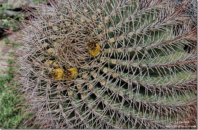
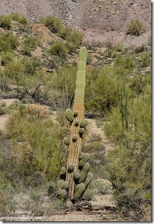
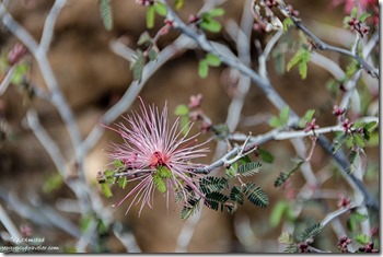
Saguaro Darby Well Road Ajo BLM ArizonaFairy Duster flower Darby Well Road BLM Ajo ArizonaBeing by myself I took WAY more photos of the crested organ pipe cactus and so much more.  Fruit on a barrel cactus with a fibonacci pattern, dusty pink fairy dusters, many crazy-armed saguaros, a few ocotillo blooms, small pincushion cactus, and never ending creosote bush.


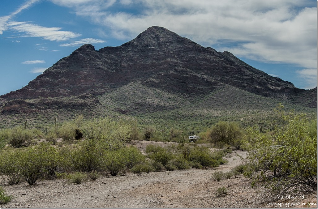
Truck camper Black Mt Darby Well Road Ajo BLM Arizona

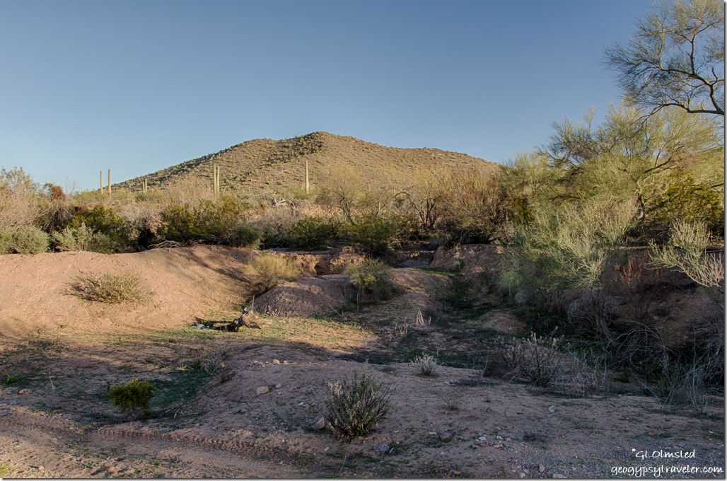
Wash Darby Well Road Ajo BLM ArizonaI also wandered down my road following tire tracks to a pretty big dip in one of the larger washes.  Good reminder with rain probable to park on high ground and not at a dead end beyond a wash.  Believe it or not occasionally a RVer will actually park in a wash and if it does rain could be stuck or swept away.  It happens in the desert to the unwary or newbies.
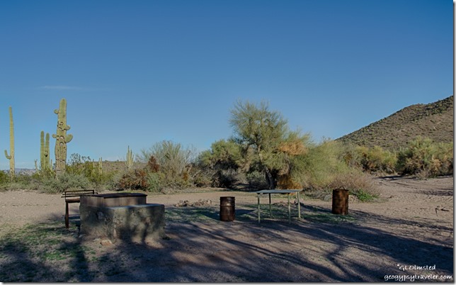
Developed camp Darby Well Road Ajo BLM ArizonaUnfortunately there is a bit of human litter scattered about like broken glass, rusty cans, bed springs and car pieces.  A group has developed an area along the wash with tables and a BBQ pit.  It seems a nearby saguaro suffers the human recreation of riddling things with bullets.  Maybe those holes offer future nesting sights for the birds like the Gila woodpecker, cactus wren, and elf owl.

Sunset windmill saguaros Darby Well Road BLM Ajo Arizona

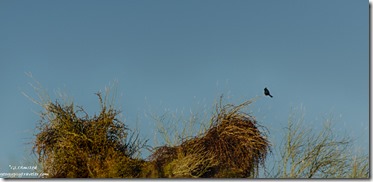
Phainopepla mistletoe palo verde Darby Well Road Ajo BLM ArizonaThough I heard bird song I’m rarely quick enough to see let alone photograph many birds.  Except for the distinctive silhouette of the phainopepla in the distance.  It perpetuates its food source by eating the mistletoe berries then defecating the seeds which produce more mistletoe.

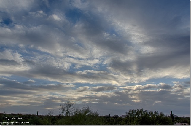
Cloudy sunset Darby Well Road BLM Ajo ArizonaThankfully I enjoyed a few days of sunshine before the wind blew, and blew, and blew.  Friday saw no rain but heavy clouds seemed to fly over the landscape.  Nature’s song of the day included wind rattling the creosote and palo verdes.  Even the saguaros swayed a little.  I understand it typically takes 60-100mph winds to knock them over.  Bill showed me a down saguaro just down my road that fell several years ago when they were camped nearby.  They didn’t hear it but noticed it missing.  I noticed the camper rock-n-rolling as gusts reached up to 44mph.

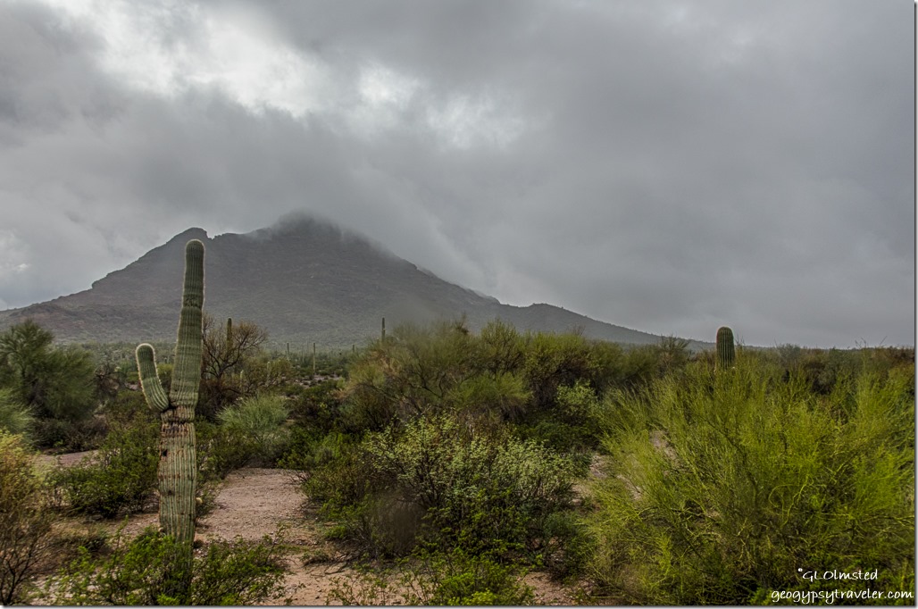
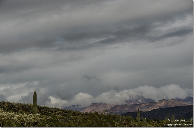
Low clouds Black Mountain saguaro Darby Well Road BLM Ajo ArizonaWoke up Saturday to gray skies and the wind blew on and off as the rains came.  At first a soft female rain, just what the desert needs to soak into the hard baked soil instead of just running off into washes causing possible floods.  The intensity of rain increased late in the day and through most of the night.  I kept waking up and wondering if I’d float away.
Clouds mountains light shadow Darby Well Road BLM Ajo ArizonaBut come Sunday morning under still gray skies I saw no water at all in the wash and the ground was almost dry already.  The only standing water was puddles in the roads.  So with less chance of rain I packed it up and saw the sun trying to break through as I drove to Ajo for breakfast and supplies before heading back into Organ Pipe Cactus National Monument for some hiking Monday with Cynthia.
Save

Save

Save

Push my buttons!

  • Click to share on Facebook (Opens in new window) Facebook
  • Click to share on X (Opens in new window) X
  • Click to share on LinkedIn (Opens in new window) LinkedIn

Like this:

Like Loading...
Ajo, Arizona boondocking, crested cactus, Darby Well Road, sunsets 16 Comments
← Older posts
Newer posts →

Hi, I’m Gaelyn, the Geogypsy

I retired after 29 summer seasons as a Park Ranger, traveling solo for 40+ years. My passions include travel, connecting to nature, photography, and sharing stories.

I started exploring US National Parks in 1977 and 20 years later became a seasonal Park Ranger.  I’ve lived full-time in a RV for 30 years working summers and playing winters.  I’m still trying to figure out what I want to be when I grow old, other than grow up.

Let’s share our stories.  Here’s more of mine…

My wheeleastate

I am currently…

…boondocking somewhere in southern Arizona.  In the area, give a shout.

Geogypsytraveler on YouTube

Follow my journey on YouTube. Just click the pic. Hope you’ll like, share, and subscribe.

Click image for 7 minute documentary (Password “geogypsy” lowercase)

Making the Gypsy documentary is a story of its own.  Click below for the rest of the story.

Living nomadically & connecting to nature documentary

Subscribe to Blog via Email

Enter your email address to subscribe to this blog and receive notifications of new posts by email.

Photos available for sale include prints, greeting cards, coffee mugs, tote bags, phone cases and more

Reflected Wave 24X16 metal print under $100

Custom Coffee Mugs

Many items to choose from including prints

The Last Blast 24 x 16″ metal print under $100

Need a signal boost? When I boondock on public lands sometimes signal is weak or intermittent and a booster helps. Click the pic to visit WeBoost.

Connecting to nature and the rest of the world too.

Please contact me for photo purchases not seen at GLOlmsted Photography

Order fulfillment is by Fine Art America. If you’re not happy with your purchase, for any reason, simply return it within 30 days, and you’ll receive a full refund of the purchase price.

Why read Geogypsy?

The gypsy life spring-summer 1998 - "You were a real pioneer. RV'ing before it was cool." ...Yogi

How do you process photos? - “Your photographs create an Emotional feeling in the viewer...that they become One with You.” …Cindy

Life’s transitions between travel and work play - "I know you love your job as much as you love travel -- it shines through all your posts." ...Sallie

Lions at Kruger National Park - “Wonderful post, thank you. I was hooked start to finish!” … Peter B

11 lessons looking back 2013 - “A great post -- made me think, made me smile, made me want to cry." ...Sallie

Wildlife video Kruger National Park - “Gorgeous, this makes me want to go straight to South Africa now.” … Ayngelina

Living nomadically & connecting to nature documentary - “What an experience you had and gave to the "crew." Sometimes I think you don't realize how unique and inspiring you are.” …Alan

Search

Popular Posts

1. Prioritize the well-being of nature over photography. 2. Educate yourself about the places you photograph. 3. Reflect on the possible impact of your actions. 4. Use discretion if sharing locations. 5. Know and follow rules and regulations. 6. Always follow Leave No Trace principles and strive to leave places better than you found them. 7. Actively promote and educate others about these principles

Categories

Archives

Sites I follow, read & recommend

  • A Full-time Life
  • A Yankee in Belgrade
  • Bob's Eyes
  • Box Canyon Blog
  • Camels and Chocolate
  • Dawns bloggy blog
  • In the Direction of Our Dreams
  • Jane in her infinite wisdom
  • Janie and Steve, Utah Trails
  • Kathie's Birds
  • Las Adventuras
  • Memorable Meanders
  • Oh, The Places They Go
  • On the Road Abode
  • Port Elizabeth Daily Photo
  • Stillhowlyntravels
  • Take to the Highway
  • Technomadia
  • the good luck Duck
  • Travel with the Bayfield Bunch
  • Wandering Earl
  • Wheeling It
  • Yogi's Den

Caught in a Slot 9×12 canvas print under $50

If you don’t like what’s going on in your government, contact your Congress

Directory of Senators

Directory of Representatives

Lijit

© Copyright 2008-2024. Geogypsytraveler.com
%d