• Home
  • About Geogypsy
    • Herstory
    • Parks where I’ve worked
  • Places I’ve been
    • United States
      • Arizona
        • Antelope Slot Canyon
        • Casa Grande Ruins National Monument
        • Colossal Cave Mountain Park
        • Flagstaff
        • Glen Canyon National Recreation Area
        • Grand Canyon National Park
          • Grand Canyon National Park North Rim
          • Grand Canyon National Park South Rim
          • Toroweap
        • Havasu Canyon
        • Horseshoe Bend
        • Jerome
        • Kaibab National Forest
        • Lee’s Ferry
        • Meteor Crater
        • Navajo Bridge
        • Oak Creek Canyon
        • Painted Desert
        • Pipe Springs National Monument
        • Prescott
        • Quartzsite
        • Saguaro National Park
        • Sedona
        • Sunset Crater Volcano National Monument
        • Vermilion Cliffs
        • Walnut Canyon National Monument
        • Wupatki National Monument
        • Yarnell
      • California
        • Anzaberrego
        • Bakersfield
        • Death Valley National Park
        • Joshua Tree National Park
        • Redwoods NP
        • Salton Sea
        • Yucca Valley
      • Colorado
        • Mesa Verde National Park
      • Florida
      • Illinois
        • IL River
        • Morton Arboretum
        • Starved Rock State Park
      • Michigan
      • Nevada
      • New Mexico
      • Oregon
        • Crater Lake NP
        • Mt Hood
        • Oregon Caves National Monument
      • Texas
        • Alpine Texas
        • Padre Island
        • Port Isabel
        • Rio Grande Valley
      • Utah
        • Brian’s Head
        • Bryce Canyon National Park
        • Buckskin Gulch
        • Cedar Breaks National Monument
        • Cedar City
        • Coral Pink Sand Dunes State Park
        • Dixie National Forest
        • Grand Staircase Escalante National Monument
        • Johnson Canyon
        • Kanab
    • World Travels
      • Germany
      • Mexico
      • South Africa
  • Tours
  • Photography
  • Work with Me
    • Sponsors
  • Contact
Geogypsy
Menu
  • Home
  • About Geogypsy
    • Herstory
    • Parks where I’ve worked
  • Places I’ve been
    • United States
      • Arizona
        • Antelope Slot Canyon
        • Casa Grande Ruins National Monument
        • Colossal Cave Mountain Park
        • Flagstaff
        • Glen Canyon National Recreation Area
        • Grand Canyon National Park
          • Grand Canyon National Park North Rim
          • Grand Canyon National Park South Rim
          • Toroweap
        • Havasu Canyon
        • Horseshoe Bend
        • Jerome
        • Kaibab National Forest
        • Lee’s Ferry
        • Meteor Crater
        • Navajo Bridge
        • Oak Creek Canyon
        • Painted Desert
        • Pipe Springs National Monument
        • Prescott
        • Quartzsite
        • Saguaro National Park
        • Sedona
        • Sunset Crater Volcano National Monument
        • Vermilion Cliffs
        • Walnut Canyon National Monument
        • Wupatki National Monument
        • Yarnell
      • California
        • Anzaberrego
        • Bakersfield
        • Death Valley National Park
        • Joshua Tree National Park
        • Redwoods NP
        • Salton Sea
        • Yucca Valley
      • Colorado
        • Mesa Verde National Park
      • Florida
      • Illinois
        • IL River
        • Morton Arboretum
        • Starved Rock State Park
      • Michigan
      • Nevada
      • New Mexico
      • Oregon
        • Crater Lake NP
        • Mt Hood
        • Oregon Caves National Monument
      • Texas
        • Alpine Texas
        • Padre Island
        • Port Isabel
        • Rio Grande Valley
      • Utah
        • Brian’s Head
        • Bryce Canyon National Park
        • Buckskin Gulch
        • Cedar Breaks National Monument
        • Cedar City
        • Coral Pink Sand Dunes State Park
        • Dixie National Forest
        • Grand Staircase Escalante National Monument
        • Johnson Canyon
        • Kanab
    • World Travels
      • Germany
      • Mexico
      • South Africa
  • Tours
  • Photography
  • Work with Me
    • Sponsors
  • Contact

Tag: SR89

28 December 2016

Home Sweet Home after three weeks in the truck camper

December 27, 2016

Woke up Tuesday morning to sparkles of white and 17°F at the Flagstaff KOA.  In less than a three hour drive I’d be home sweet home after three weeks living in the truck camper.
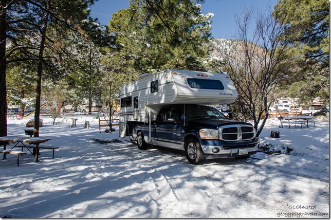
Truck camper snow KOA Flagstaff ArizonaThe semi-plowed and almost level site was a stretch to the electric box.  Surprising how many RVers were out in the winter white.  Doesn’t seem to be a winter rate at Flag KOA.
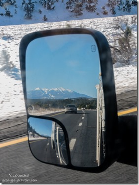
 

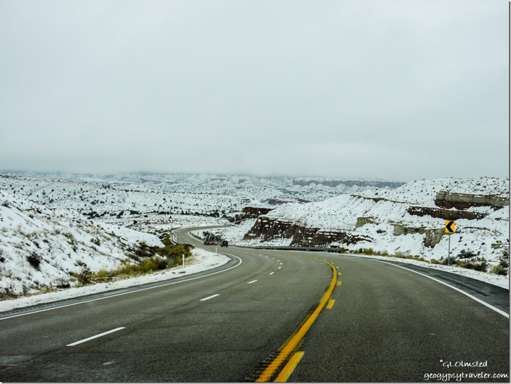
Side mirror Humphreys Peak I40 West ArizonaThankfully roads were clear and dry as I headed west on I40 at 11am and 35°F.  Unbeknownst to me a section of the freeway had been closed during the Christmas Eve snow storm.  And after I got home I learned that SR89A South of Flagstaff closed that afternoon because of a rock slide.  Dodged those bullets.

Humphreys Peak behind me

Snow ponderosa pines I40 West Arizona

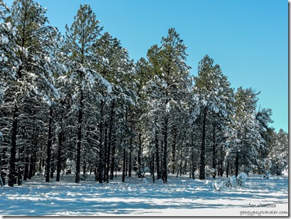
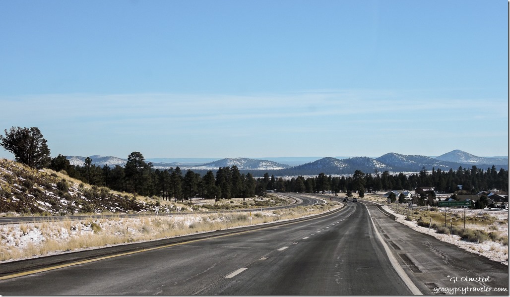
As I headed over the snowy pass Ponderosa Pines draped in white lined the uncrowded highway.
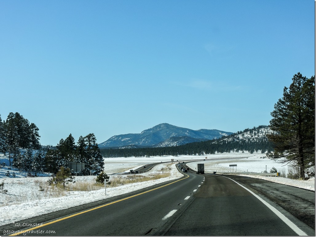
Snow I40 West ArizonaGood thing because at 75+mph on a potholed obstacle course I found myself dodging holes in the pavement 6-10 inches deep.  As a road warrior I can say the transportation system in this country sucks.  You could loose a Smart car in some of these potholes.  Hate to think what that does to our tires and suspension.  Actually saw a road crew out just before the Devil Dog Rd throwing hot asphalt into deep holes.  I would think it would freeze almost immediately.  Then right after that a car off the road changing a tire.  And not far down the road another.  Can you sue the Feds for these lousy roads?
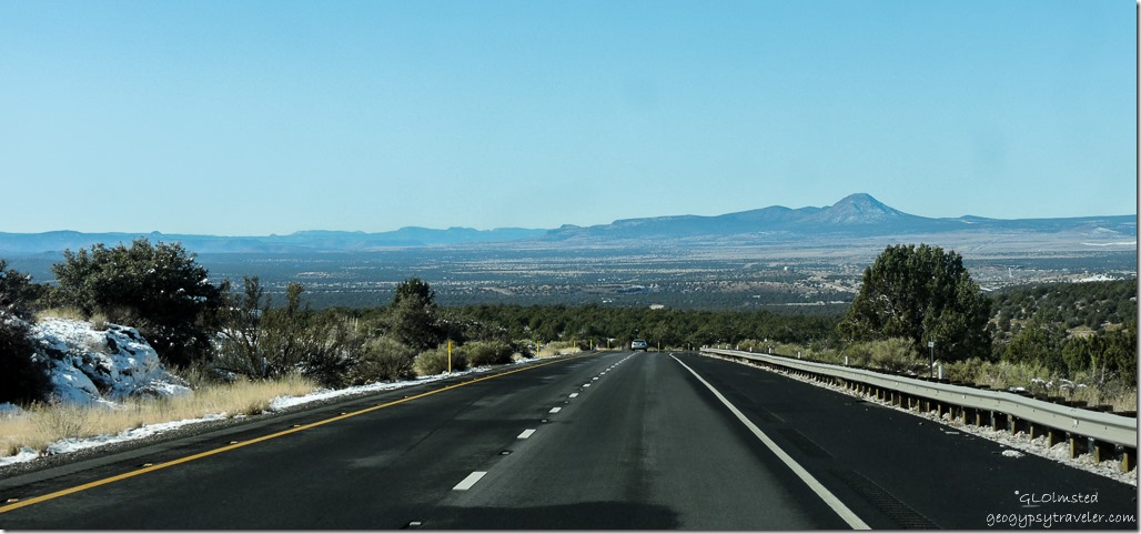
Snow I40 West Arizona

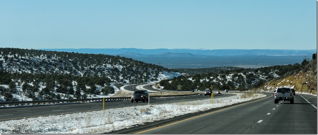
Valley I40 West ArizonaFinally after another pass west of Williams the road drops to Ash Fork and beyond.
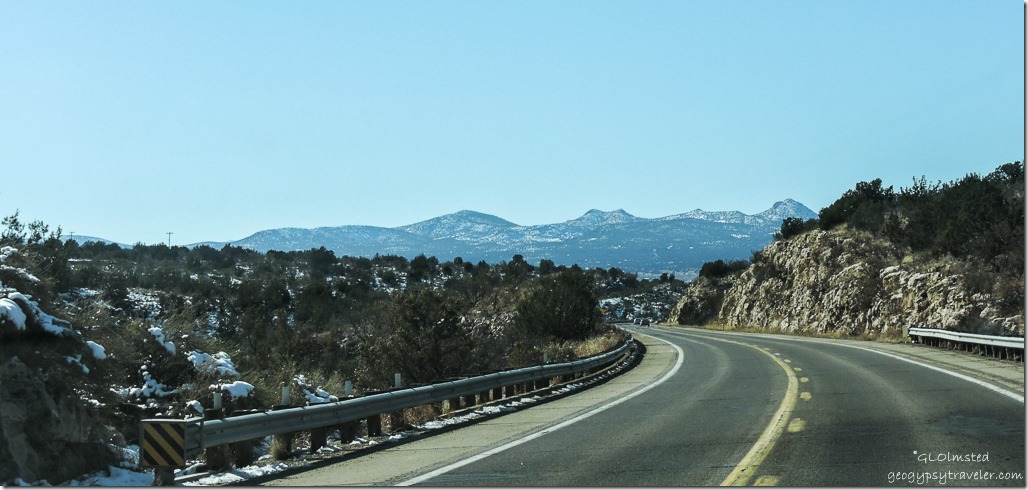
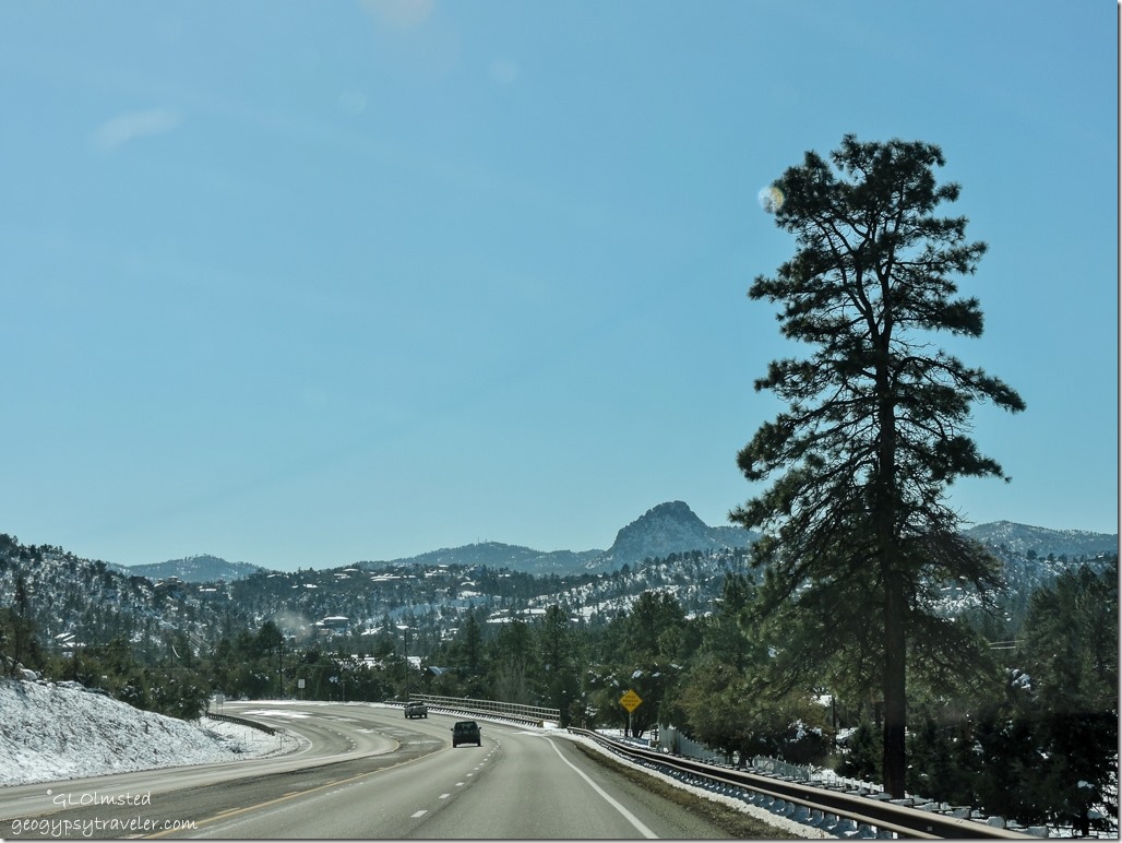
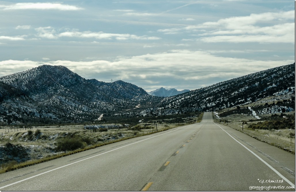
Brawdshaw Moountains SR89 South ArizonaHigh noon and 44°F I turn south on SR89 right into the glaring sun.  And even though that road is lumpy and bumpy it isn’t as full of potholes as I40.  Small patches of snow left in the shadows of the Juniper/Pinyon woodlands yet I could see white on the Bradshaw Mountains ahead.
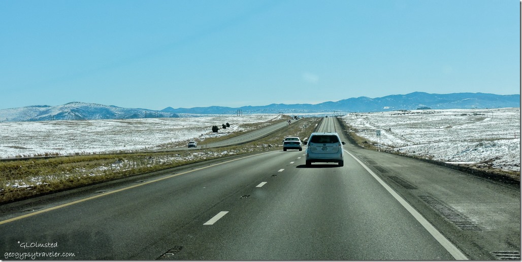
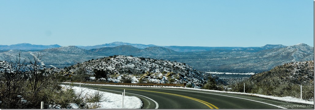
Snow SR89 South Chino Valley ArizonaOnly a light dusting of snow on the hills around Paulden increasing in Chino Valley.
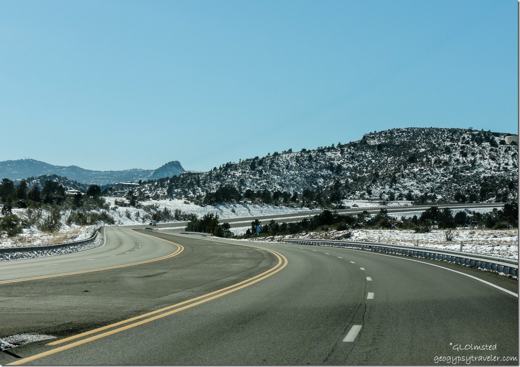
Snow Pioneer Parkway West Prescott ArizonaPioneer Parkway Prescott Arizona

Snow Williamson Valley Road Prescott ArizonaWilliamson Valley Road Prescott Arizona

And continued to increase to the outskirts of Prescott where I turned onto Deep Well Ranch Road, Pioneer Parkway, and Williamson Valley Road to bypass town.
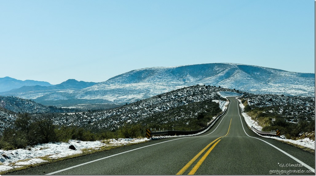
Snow Bradshaw Mountains Iron Springs Road Arizona

Snow Weaver Mountains Iron Springs Road Arizona

Snow Weaver Mountains Iron Springs Road Arizona

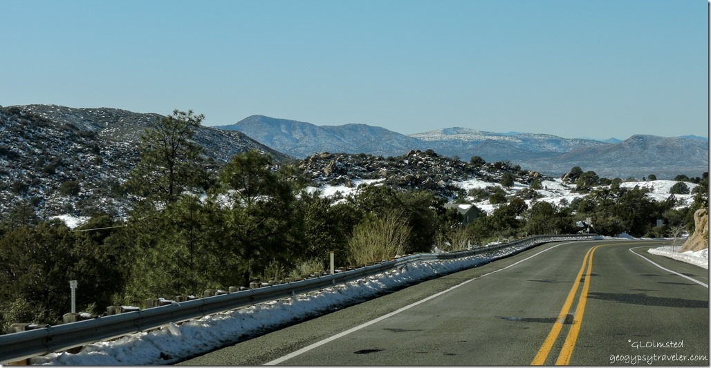
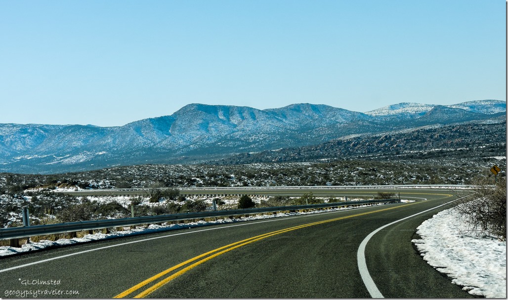
Snow Weaver Mountains Iron Springs Road ArizonaThen Iron Springs Road weaves over the Bradshaw Mountains with their mantles of sparkly white.
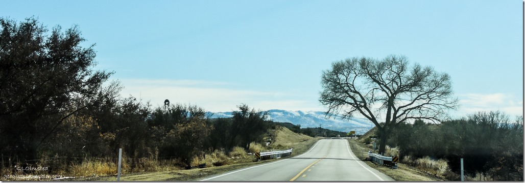
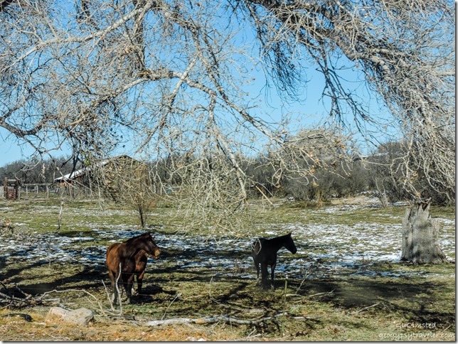
Horses Iron Springs Road Skull Valley Arizona

Snow Weaver Mountains Iron Springs Road ArizonaAnd before I knew it Skull Valley only seven miles from home sweet home.
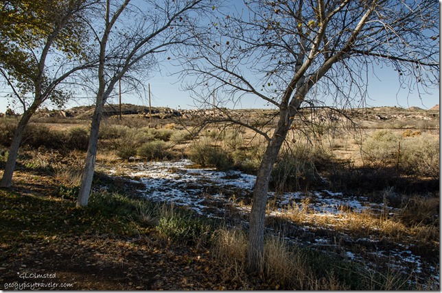
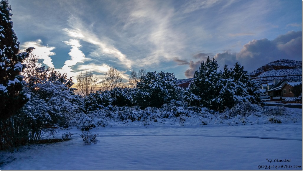
Snow in gully behind RV Kirkland ArizonaI pull in to the Kirkland RV park at 1:30 and a sunny 53°F with damp ground but only a few patches of snow in the shadows.
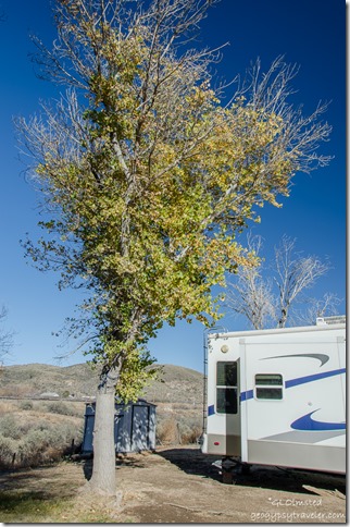
Leaved cottonwood by RV Kirkland ArizonaMany loads later I am back in my 5th-wheel home after three weeks in the truck camper.  And there are still leaves on the cottonwood by my home sweet home.

Save

Save

Push my buttons!

  • Facebook
  • Twitter
  • LinkedIn

Like this:

Like Loading...
Arizona, RV lifestyle road trip, snow camping, SR89 12 Comments
27 December 2016

Not dreaming of a white Christmas

December 22-26, 2016

Christmas sunset Kanab UtahChristmas sunset Kanab, Utah

I don’t ever dream of a white Christmas.  Yea, that white stuff is pretty to look at in contrast to a green forest, red-rock desert, or blanketed rolling plains.  But best from some place warm.  Like in front of a crackling fire or my Facebook page.

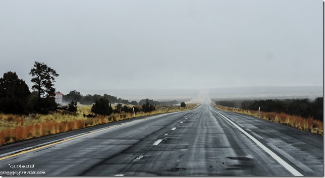
Foggy SR89 North of Flagstaff ArizonaChilly and wet Thursday morning at Flagstaff KOA.  I didn’t rush because the yarn shop in town opens at 10am.  Found it by 10:10, got what I needed as quickly as possible, trying not to handle all the luscious textiles.

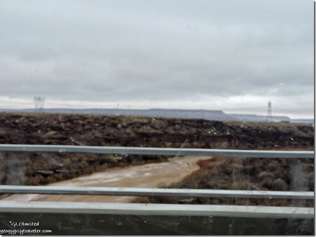
Little Colorado River from bridge SR89 North Cameron ArizonaLittle Colorado River Cameron, Arizona

Clouds over Echo Cliffs SR89 North Arizona

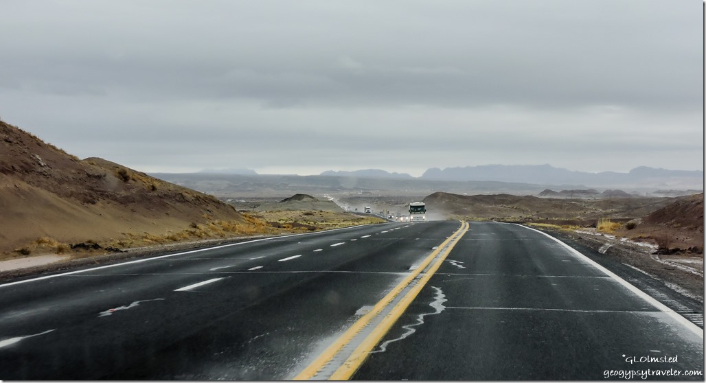
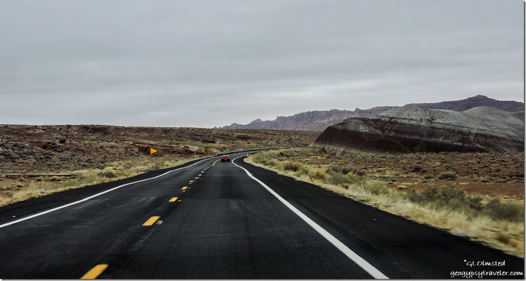
Painted Desert Echo Cliffs SR89 North ArizonaAlong SR89 North water flowed in the Little Colorado River and through the Painted Desert water flowed in Hamblin Wash.  Not something seen often.  Still not heavy rain but wet.  Yet I see vehicles coming towards me with snow on the hood and think they must have come from the Kaibab Plateau.

Snow Echo Cliffs SR89 North Gap ArizonaCame around a bend in the road before the Gap trying to decide if I wanted to take SR89T to Page.  It’s a much easier climb though a little slower speed limit, very little traffic through pretty land on top of Echo Cliffs.  Versus, SR89 a quick climb up about 800 feet through The Cut.  Which I ultimately decided to do so I’d spend less time at the higher elevation and hopefully less snow.

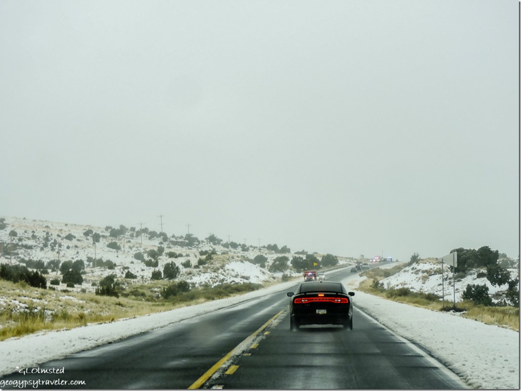
Snow accident SR89 North ArizonaNot so.  It just kept coming down, wet, sloppy, and big flakes sticking to the ground, and slushy lines on the road.  I did see several snow plows going the opposite way.  Passing lanes were only about half wide and with me going no more than 50mph I pulled over as best possible to let the speed demons pass while many others just slipped in behind me content to let me lead the way.  Of course there was an accident.  Sure hope nobody was hurt.

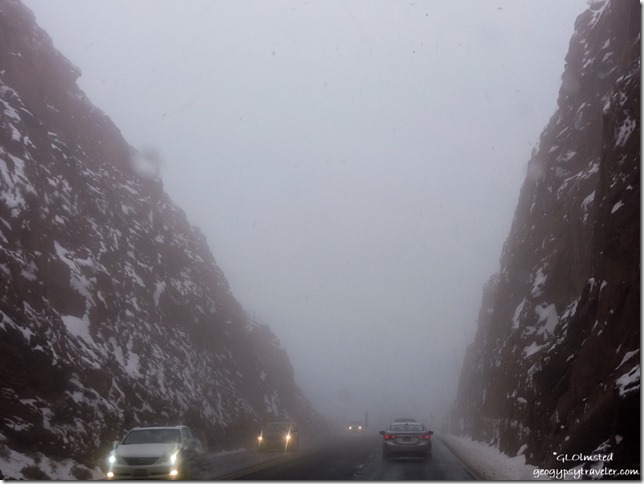
Snow The Cut SR89 to Page ArizonaI wondered what that big climb would be like.  Thank goodness, even only one lane each way, the climb was clear wet pavement with snow still falling like crazy.  Now I used to drive in the worst of snow storms back in Illinois but I’m a little out of practice even in Northern Arizona.  Obviously not the only one as some drivers wanted to go slower than me.  Yet made it to the top and on to Page.  There were even quite a few people parked and walking up to the Horseshoe Bend overlook.  No thanks, not today.

No need to stop in Page but I did pull over by the bridge over the Colorado River and took a few shots because the contrast of snow on the red-rock was compelling.  And I needed to let go from my death grip on the steering wheel.  Unfortunately none of those turned out.

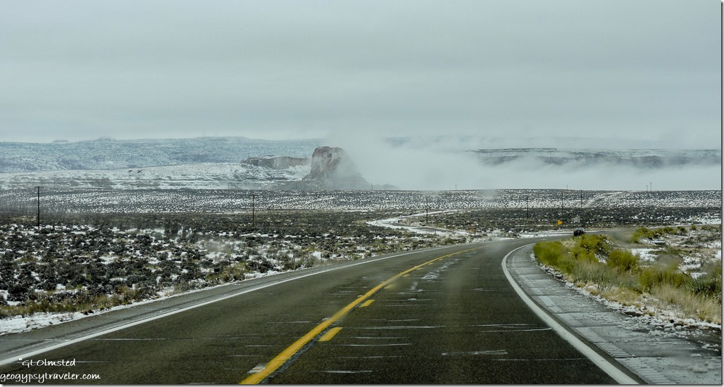
Inversion SR89 West ArizonaAlthough it had quit snowing it was still quite foggy as I crossed the border into Utah.  Didn’t look like anybody had braved driving the Cottonwood Canyon Road.

Snow SR89 West Utah

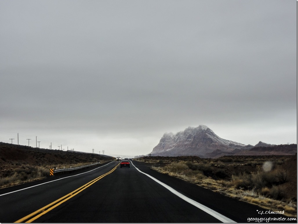
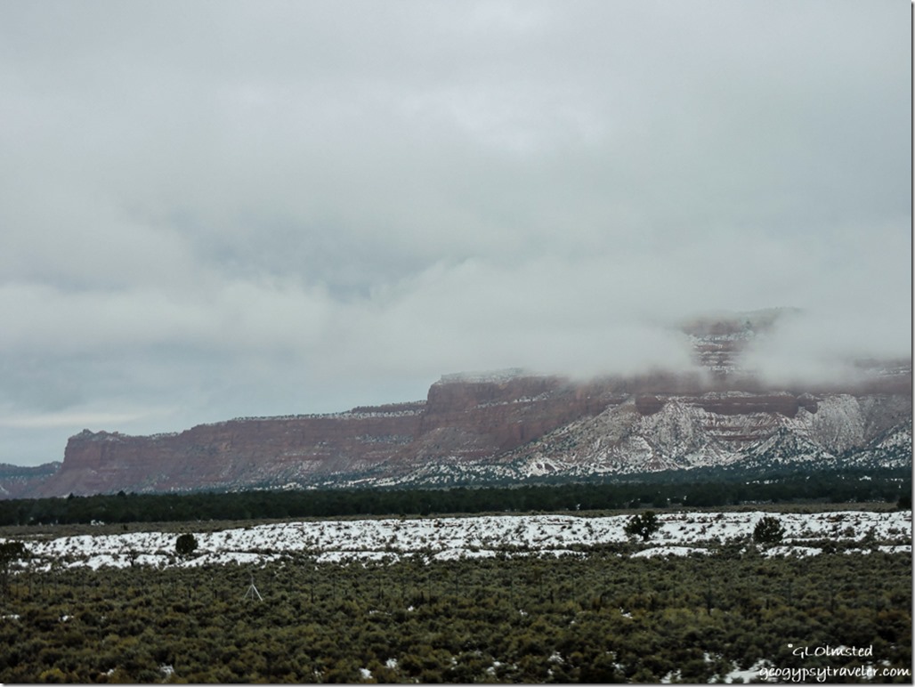
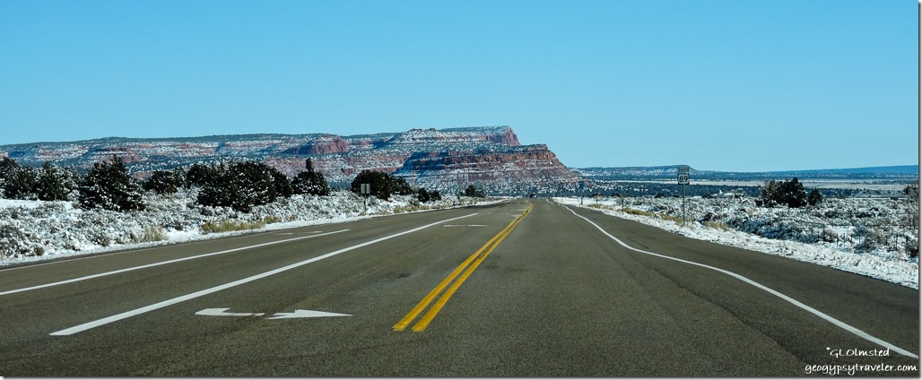
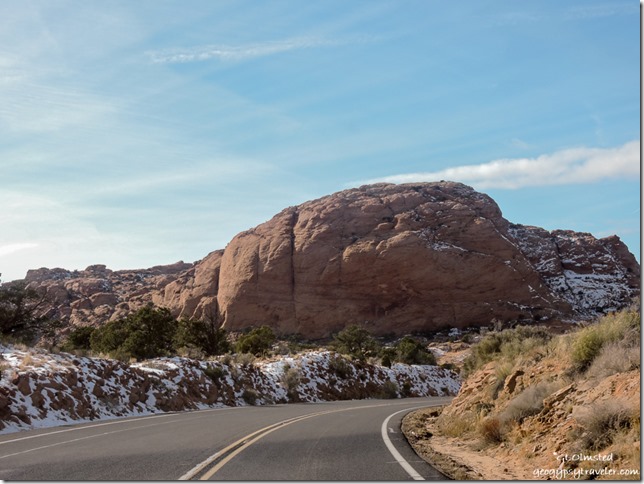
Low clouds snow Vermilion Cliffs SR89 UtahWasn’t until I crossed the Cockscomb that the snow line rose higher on the Vermilion Cliffs and slowly disappeared from the ground.

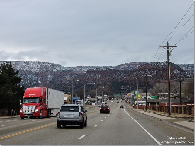
SR89 West Kanab UtahKanab was just wet.

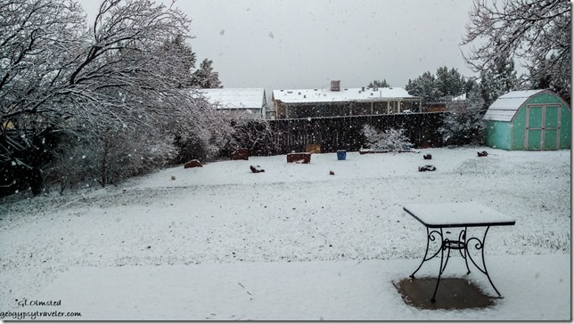
Snowing Bill's backyard Kanab Utah

Ranger Bill's Kanab UtahNice not to see the white stuff in Kanab but that didn’t last when it started to snow, heavier and heavier, on Christmas Eve.  The dogs loved romping around in it until soaked and exhausted.  Bill’s son and DIL arrived Christmas Eve from their more northern Utah home.  They spent the afternoon scanning some of his Dad’s photos of the growing up years.  Plus DIL cooked chicken enchiladas for dinner.

Bill gave up his bed to the “kids” so we slept in the camper in the driveway which was plugged in with a heater going almost constantly.  Awoke to a white Christmas and a soggy place at the foot of the bed.  Which in this case is the part of the camper which hangs over the truck cab.  I sleep backwards so my head isn’t by the cold window.

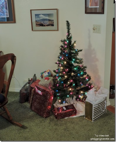
Presents Christmas tree Bill's Kanab UtahSomeone went and got Bill’s sister who lives down the road a bit.  Didn’t take long to open gifts as agreed none of us got carried away this year.  Then I made sausage, bacon and french toast with real maple syrup for breakfast.

Watched a couple of cute Disney-like movies, DIL’s picks.  I liked them and sat in a rocker like an ole granny knitting away on my sweater.  I also cooked dinner, two ducks baked for four hours, stuffing, green beans and bacon.  Bill made the mashed potatoes.

After dinner we watched Star Wars.  I like the series but am way behind as I don’t go to theaters or watch movies at home.
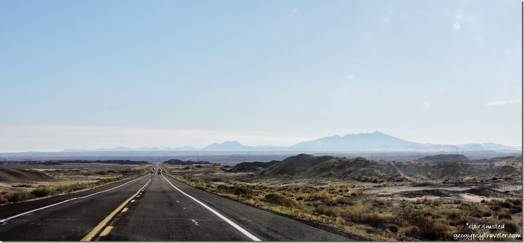
Snow Vermilion Cliffs SR89 East Utah

Cockcomb House Rock Valley Road from SR89 Eastf UtahThe thin white line of House Rock Valley Road

Grand Staircase-Escalante National Monument SR89 East UtahMonday morning the kids took off for home and to get a water heater replaced.  Oh the joys of home ownership.  I left after things warmed up a bit, read 31F, around 10:30.  The drive back home seemed reversed in more than direction now that Kanab was all white then once crossing the Cockscomb there was barely any snow on the ground.

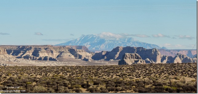
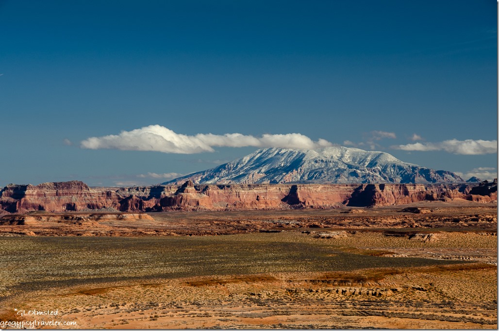
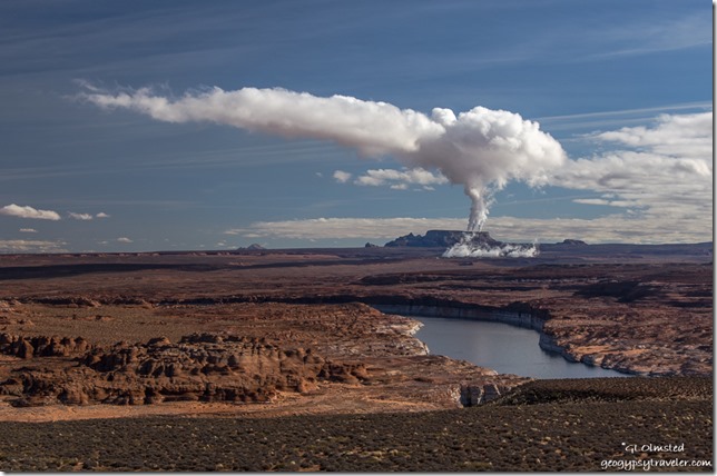
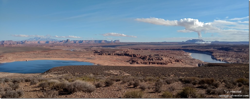
Navajo Mountain SR89 East UtahHowever Navajo Mountain wore a mantle of white beyond Lone Rock.  And a plume of steam/smoke drifted off from the coal-fired power plant on the Navajo Reservation just past Page, Arizona.  When I cross that state line I think I’m home even though I still had a three hour drive just to Flagstaff for the night.

Navajo Mountain Wahweap overlook Arizona

Lake Powell Power Plant Wahweap overlook Arizona

Navajo Mountain Power Plant Lake Powell Wahweap Viewpoint SR89 ArizonaMade one stop at Wahweap overlook for some shots with the big camera.

Snow Echo Cliffs SR89 South ArizonaJust beyond Page the Echo Cliffs still carried a little white.

Snow Kaibab Plateau Junction SR89 & A South ArizonaBy the junction with SR89A the snow was just a distant memory, like on the Kaibab Plateau where I’m glad not to be right now.

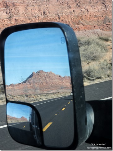
Side mirror Echo Cliffs SR89 the Gap ArizonaSame peak seen in the sixth photo now without snow near the Gap.

Humphreys Peak SR89 South ArizonaBlaring sun made it difficult to photograph Humphrey’s Peak.

Snowy Flagstaff SR89 South ArizonaLots more snow in Flagstaff than Kanab.  Hope there’s a lot less at home.  Low temperature for Monday night 8F.
Although I stayed warm in the camper I don’t dream of cold temperatures any more than I do a white Christmas.  Now, Tuesday, headed home to see how much of that white stuff is left in Kirkland.

Push my buttons!

  • Facebook
  • Twitter
  • LinkedIn

Like this:

Like Loading...
Arizona, Christmas, Utah road trip, SR89 10 Comments
27 September 2016

Watching the world go by–North Rim to Yarnell Arizona

September 18-19, 2016

A road trip along US89, a classic north and south route through Arizona, taking pics while driving because I enjoy watching the world go by.  Don’t get me wrong, I also like to stop to take in the scene along the way.  But sometimes I take an A to C trip with only stop B along the way.  And frequently the photos are blurry and out of wack.

I left the North Rim about 3:30 taking off early from work Sunday afternoon.  Figured on about a two hour leisurely drive to Lee’s Ferry hoping there’d be space to camp.  Nice to break up the otherwise seven hour drive to Yarnell.

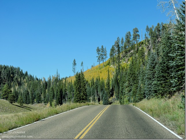
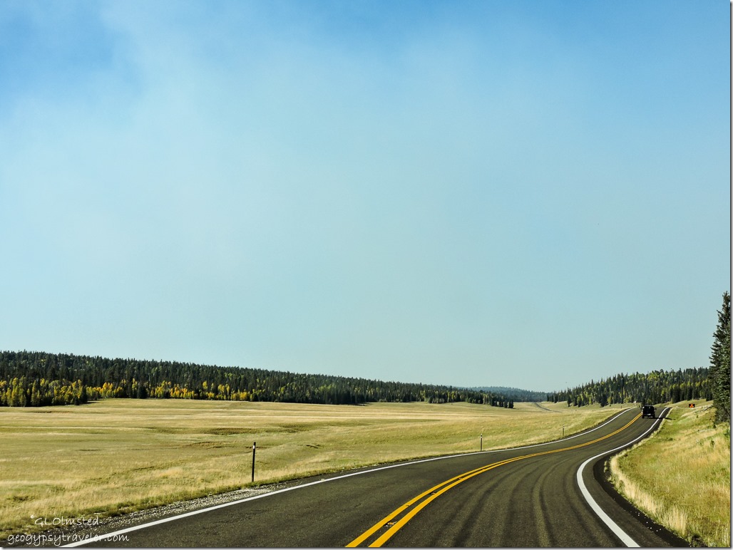
Fall aspen SR67 North Rim Grand Canyon National Park ArizonaThe quaking aspen were putting on quite a show.  Young stands created a golden blanket edged in ever greens.  Taller and older aspen thrust out more isolated clusters of color entirely framed in green.  Some stubbornly hung on to their summer foliage while others were stripped bare.  Driving past at 60mph created a fall kaleidoscope.

Meadows SR67 Kaibab National Forest ArizonaSeptember rains make the meadows look like golden fields of grain with a green tinge as if it’s a little to early to harvest.  Yet the deer and bison graze heavily to fatten up for the coming winter.

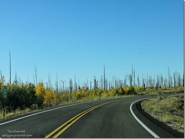
Fall aspen 2006 Warm Fire SR67 Kaibab National Forest ArizonaThe ten year old burn displays a mixed topography of scattered tall snags standing in a field of golden young aspen.

Vermilion Cliffs SR89A E Kaibab National Forest Arizona

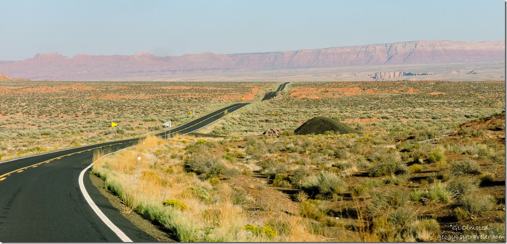
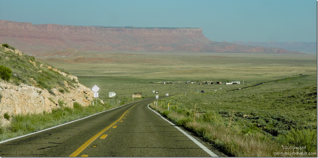
House Rock Valley & Vermilion Cliffs SR89A E Kaibab National Forest ArizonaAfter a quick cookie stop at Jacob Lake I headed east on SR89A.  Hadn’t been this way for quite a while and certainly not past House Rock Valley Road since going to White Pocket in March with Pam and John.  Did come back that way last January after the Grand Canyon Association and blogger gatherings in Quartzsite.  It just looked all different yet familiar, like an old friend not seen for decades.

Echo Cliffs SR89A E ArizonaOf course it was only a few weeks back while camping at Marble View I’d looked down on this scene.  I love to do that, see where I’ve been or where I’m going.  In fact when I see a road I want to drive it.

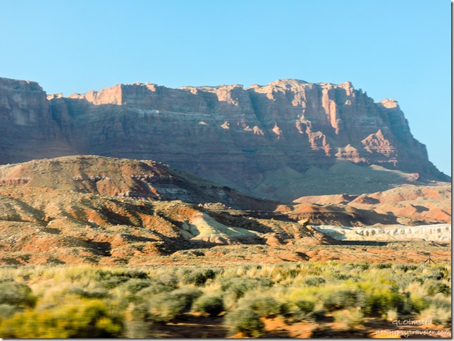
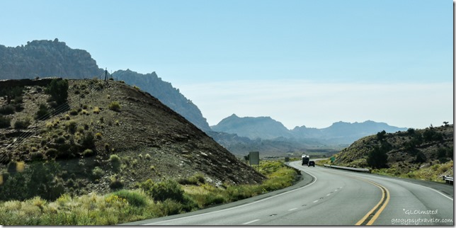
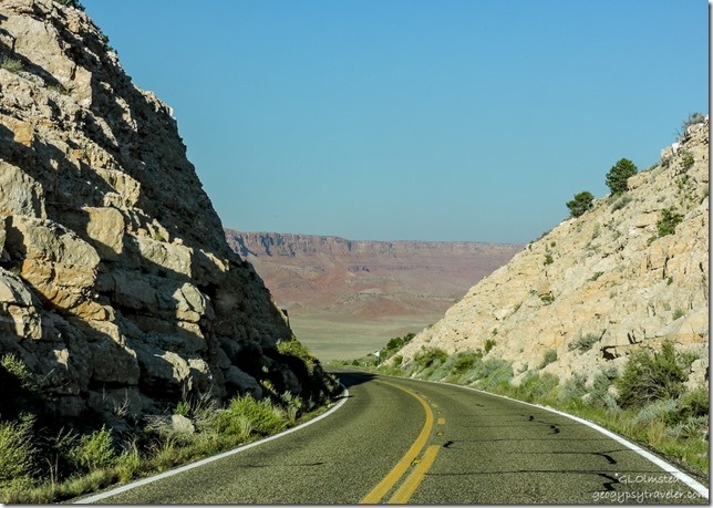
Vermlion Cliffs SR89A E ArizonaSure nice to go from fall back to summer.  It was 65°F (18°C) when I left the 8200 foot (2500 m) North Rim and 87° (30°C) on the 5000 foot (1524 m) Marble Plateau.  I could feel the work weight lift and drift away watching the multiple mineral colors of the Vermilion Cliffs slide by.

Vermilion Cliffs SR89A East ArizonaFelt like I was racing the clock a bit because I wanted to be in camp before sunset and knew that would come a little earlier than I’m used to being I’d be surrounded by the warm towering rocks.  The shadows were lengthening.

To Lee's Ferry Glen Canyon National Recreation Area Arizona

To Lee's Ferry Glen Canyon National Recreation Area ArizonaI parked in shadow paying my $9 (half price with Senior Pass) camping fee then hurried down the road no more than four miles.

Lee's Ferry campground Glen Canyon National Recreation Area ArizonaThe campground is situated on a rise with mostly level gravel sites many having sun shelters over the picnic table and a wind/privacy fence or a few trees.  It’s dry-camping with bathrooms which I didn’t use.

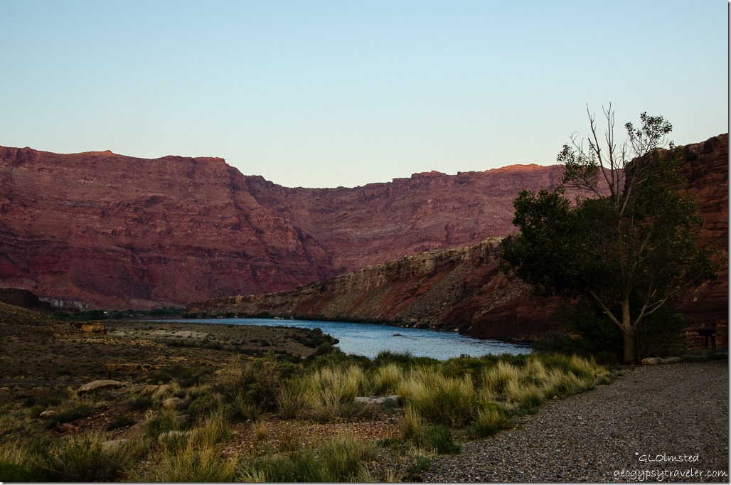
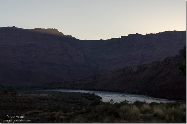
Colorado River from Lee's Ferry campground Glen Canyon National Recreation Area ArizonaI parked with a view looking down on the Colorado River and just caught the last glowing tip of the eastern escarpment.  Pulling out a chair I sat absorbing the warmth under the dimming light and discovered a cell signal so sent a photo into the cyberworld.

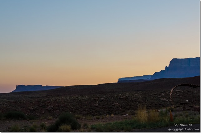
Sunset Vermilion Cliffs from Lee's Ferry campground Glen Canyon National Recreation Area ArizonaA pastel sunset backed the scene.  The night was quiet and the moon lit the earth.

First light Paria Plateau over Colorado River from Lee's Ferry campground Glen Canyon National Recreation Area Arizona

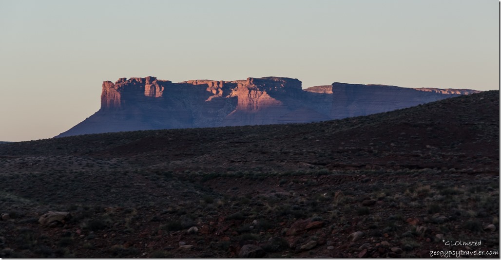
First light on Vermilion Cliffs from Lee's Ferry campground Glen Canyon National Recreation Area ArizonaEarly morning was blanket weather that promised to warm quickly.  Just as the sun broke over the cliff at 6:30 am somebody had to break the silence with a generator.  Really don’t those multi-million dollar motorhomes have a propane stove to make coffee on.

SR89 South ArizonaTwo hours later I moseyed south, straight into the sun making for lousy photos, past the big Echo Cliffs.  Ah but to soar like a vulture over this magnificent landscape under a bright sun with thermals rising.  Would I rather be a Raven, vulture, hawk, a condor perhaps.  Makes me want to be a Navajo Edward Abbey.  Through the Painted Desert across the Navajo plains.  Scattered hogans and prefab houses, nice communities and scene.  Little wooden shelters some would call shacks with open signs and wares on the battered tables.

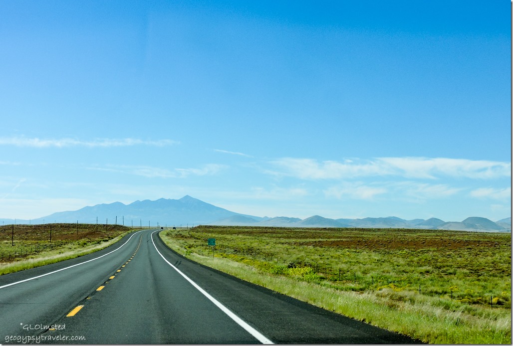
Humphreys Peak SR89 South ArizonaFinally Humphreys Peak appears on the horizon, the highest mountain in Arizona at 12,637 feet (3,852 m) it dominates the horizon at 75 miles (120 km) away.  And that means almost to Flagstaff, a little less than half way to go.

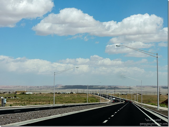
SR89 North Cameron ArizonaThe once tiny Navajo town of Cameron has grown into divided four lane highway, miles of street lights, sidewalks, and a roundabout at the turn off to Grand Canyon’s South Rim.  I’ll bet the bright lights at night obstruct the view of the sacred mountains.  Is it irony that a huge power grid runs across the Navajo land?

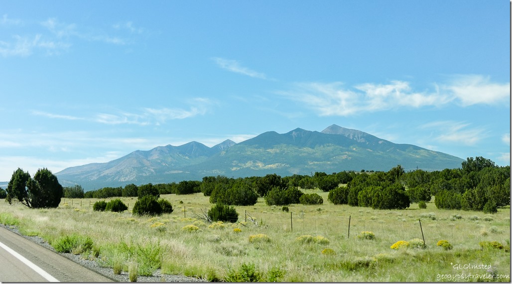
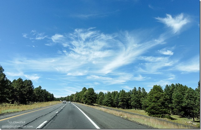
Humphreys Peak SR89 South ArizonaTo the west the clouds look like white chantrell mushroom swirls, to the east almost like a seismic graph, and in the middle a squiggly exclamation point.  Mt Humphreys wears patches of yellow on the north slope.  The trees change to ponderosa, yellow clusters of flowers that could be rabbit bush and the dead brown grasses blowing in the wind.  Coming up to Sunset Crater.  Then over the 7286 foot (2221 m) pass and 15 miles (24 km) to Flagstaff at 10:35am and 77°F (25°C) as I passed the turn off to Sunset Crater National Monument.

I40 West ArizonaNext to put up with city and traffic as I descend into Flagstaff yet I miss most of it by jumping onto the Interstate 40 for an hour to Ashfork then back on SR89 South.  But I’m not so keen driving on expressways, especially around big towns/cities, lots of trucks up hills going slow.  The speed limit is 75 mph but I set the cruise control for a little over 70 which is good enough and still seems too fast.

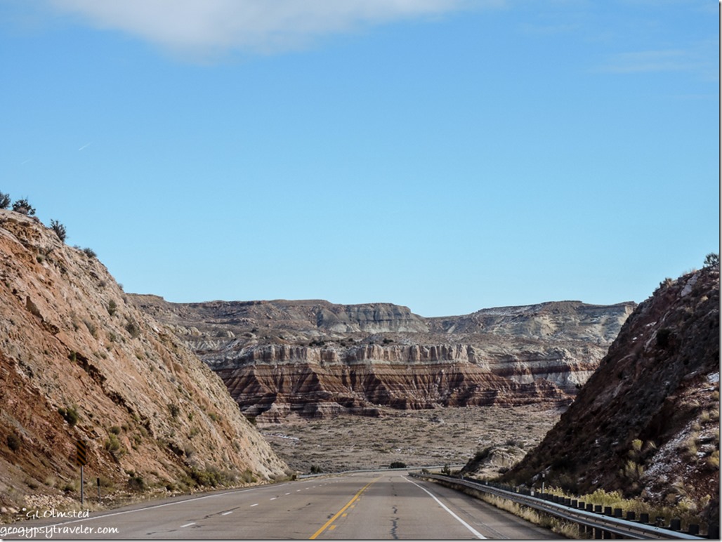
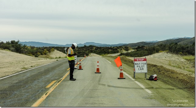
Construction Iron Springs Road ArizonaAn hour later off the freeway onto SR89 again, back in the juniper/pinyon forest with some chaparral.  What with the bright sun, dirty windshield, and roller coaster road to Paulden followed by to many roundabouts in Chino Valley no photos were taken while watching the world go by.  Then took the by-pass around Prescott on Iron Springs road, which is once again under construction between Kirkland and Skull Valley.

Sierra Yarnell Arizona3:30pm, parked in Berta’s Yarnell yard, level, backed up to the electric box and a huge shed that is almost as big as the little house.  Berta wasn’t home but Sierra welcomed me.

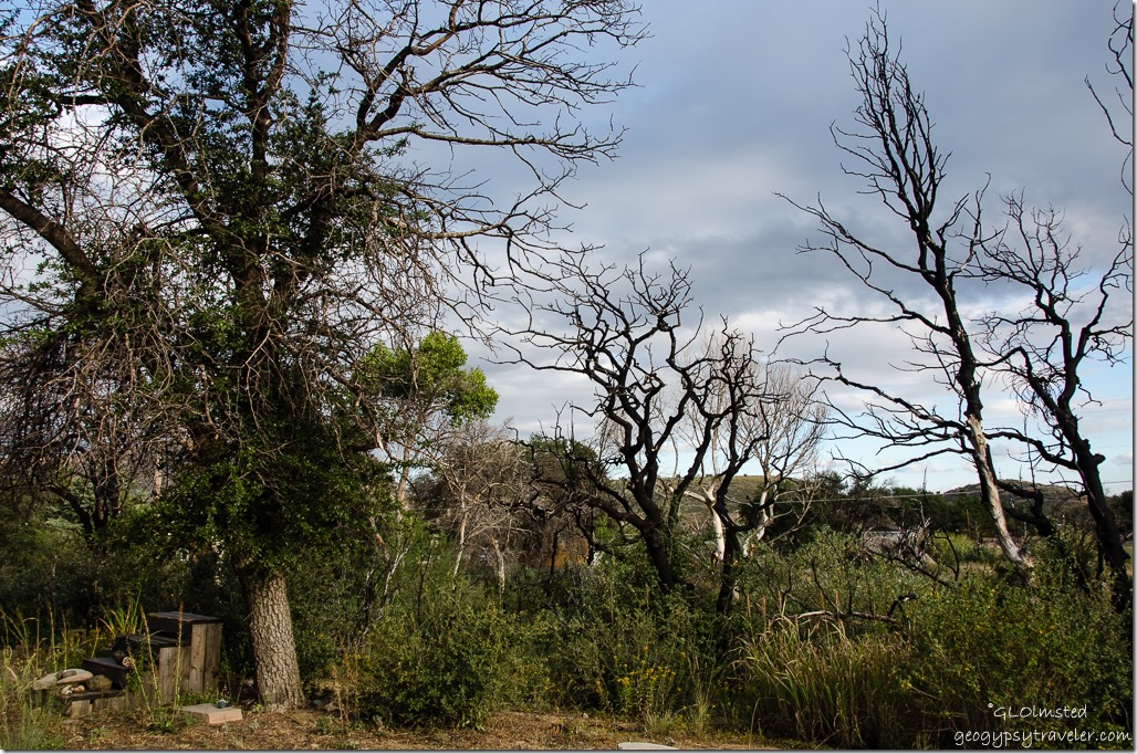
Camper view Yarnell ArizonaThe regrowth three years after the Yarnell fire is amazing and frames the sculptural standing dead trees.  Home Sweet Home.  At least for a few days, then back to the North Rim to finish out the season.
Push my buttons!

  • Facebook
  • Twitter
  • LinkedIn

Like this:

Like Loading...
Arizona Lee's Ferry, road trip, SR89, travel, Yarnell 12 Comments

Hi, I’m Gaelyn, the Geogypsy

I retired after 29 summer seasons as a Park Ranger, traveling solo for 40+ years. My passions include travel, connecting to nature, photography, and sharing stories.

I started exploring US National Parks in 1977 and 20 years later became a seasonal Park Ranger.  I’ve lived full-time in a RV for 30 years working summers and playing winters.  I’m still trying to figure out what I want to be when I grow old, other than grow up.

Let’s share our stories.  Here’s more of mine…

My wheeleastate

I am currently…

…boondocking somewhere in southern Arizona.  In the area, give a shout.

Geogypsytraveler on YouTube

Follow my journey on YouTube. Just click the pic. Hope you’ll like, share, and subscribe.
Click image for 7 minute documentary (Password “geogypsy” lowercase)

Making the Gypsy documentary is a story of its own.  Click below for the rest of the story.

Living nomadically & connecting to nature documentary

Subscribe to Blog via Email

Enter your email address to subscribe to this blog and receive notifications of new posts by email.

Photos available for sale include prints, greeting cards, coffee mugs, tote bags, phone cases and more

Reflected Wave 24X16 metal print under $100

Custom Coffee Mugs

Many items to choose from including prints

The Last Blast 24 x 16″ metal print under $100

Need a signal boost? When I boondock on public lands sometimes signal is weak or intermittent and a booster helps. Click the pic to visit WeBoost.

Connecting to nature and the rest of the world too.

Please contact me for photo purchases not seen at GLOlmsted Photography

Order fulfillment is by Fine Art America. If you’re not happy with your purchase, for any reason, simply return it within 30 days, and you’ll receive a full refund of the purchase price.

Why read Geogypsy?

The gypsy life spring-summer 1998 - "You were a real pioneer. RV'ing before it was cool." ...Yogi

How do you process photos? - “Your photographs create an Emotional feeling in the viewer...that they become One with You.” …Cindy

Life’s transitions between travel and work play - "I know you love your job as much as you love travel -- it shines through all your posts." ...Sallie

Lions at Kruger National Park - “Wonderful post, thank you. I was hooked start to finish!” … Peter B

11 lessons looking back 2013 - “A great post -- made me think, made me smile, made me want to cry." ...Sallie

Wildlife video Kruger National Park - “Gorgeous, this makes me want to go straight to South Africa now.” … Ayngelina

Living nomadically & connecting to nature documentary - “What an experience you had and gave to the "crew." Sometimes I think you don't realize how unique and inspiring you are.” …Alan

Search

Popular Posts

1. Prioritize the well-being of nature over photography. 2. Educate yourself about the places you photograph. 3. Reflect on the possible impact of your actions. 4. Use discretion if sharing locations. 5. Know and follow rules and regulations. 6. Always follow Leave No Trace principles and strive to leave places better than you found them. 7. Actively promote and educate others about these principles

Categories

Archives

Sites I follow, read & recommend

  • A Full-time Life
  • A Yankee in Belgrade
  • Bob's Eyes
  • Box Canyon Blog
  • Camels and Chocolate
  • Dawns bloggy blog
  • In the Direction of Our Dreams
  • Jane in her infinite wisdom
  • Janie and Steve, Utah Trails
  • Kathie's Birds
  • Las Adventuras
  • Memorable Meanders
  • Oh, The Places They Go
  • On the Road Abode
  • Port Elizabeth Daily Photo
  • Stillhowlyntravels
  • Take to the Highway
  • Technomadia
  • the good luck Duck
  • Travel with the Bayfield Bunch
  • Wandering Earl
  • Wheeling It
  • Yogi's Den

Caught in a Slot 9×12 canvas print under $50

If you don’t like what’s going on in your government, contact your Congress

Directory of Senators

Directory of Representatives

Lijit

© Copyright 2008-2024. Geogypsytraveler.com
%d