• Home
  • About Geogypsy
    • Herstory
    • Parks where I’ve worked
  • Places I’ve been
    • United States
      • Arizona
        • Antelope Slot Canyon
        • Casa Grande Ruins National Monument
        • Colossal Cave Mountain Park
        • Flagstaff
        • Glen Canyon National Recreation Area
        • Grand Canyon National Park
          • Grand Canyon National Park North Rim
          • Grand Canyon National Park South Rim
          • Toroweap
        • Havasu Canyon
        • Horseshoe Bend
        • Jerome
        • Kaibab National Forest
        • Lee’s Ferry
        • Meteor Crater
        • Navajo Bridge
        • Oak Creek Canyon
        • Painted Desert
        • Pipe Springs National Monument
        • Prescott
        • Quartzsite
        • Saguaro National Park
        • Sedona
        • Sunset Crater Volcano National Monument
        • Vermilion Cliffs
        • Walnut Canyon National Monument
        • Wupatki National Monument
        • Yarnell
      • California
        • Anzaberrego
        • Bakersfield
        • Death Valley National Park
        • Joshua Tree National Park
        • Redwoods NP
        • Salton Sea
        • Yucca Valley
      • Colorado
        • Mesa Verde National Park
      • Florida
      • Illinois
        • IL River
        • Morton Arboretum
        • Starved Rock State Park
      • Michigan
      • Nevada
      • New Mexico
      • Oregon
        • Crater Lake NP
        • Mt Hood
        • Oregon Caves National Monument
      • Texas
        • Alpine Texas
        • Padre Island
        • Port Isabel
        • Rio Grande Valley
      • Utah
        • Brian’s Head
        • Bryce Canyon National Park
        • Buckskin Gulch
        • Cedar Breaks National Monument
        • Cedar City
        • Coral Pink Sand Dunes State Park
        • Dixie National Forest
        • Grand Staircase Escalante National Monument
        • Johnson Canyon
        • Kanab
    • World Travels
      • Germany
      • Mexico
      • South Africa
  • Tours
  • Photography
  • Work with Me
    • Sponsors
  • Contact
Geogypsy
Menu
  • Home
  • About Geogypsy
    • Herstory
    • Parks where I’ve worked
  • Places I’ve been
    • United States
      • Arizona
        • Antelope Slot Canyon
        • Casa Grande Ruins National Monument
        • Colossal Cave Mountain Park
        • Flagstaff
        • Glen Canyon National Recreation Area
        • Grand Canyon National Park
          • Grand Canyon National Park North Rim
          • Grand Canyon National Park South Rim
          • Toroweap
        • Havasu Canyon
        • Horseshoe Bend
        • Jerome
        • Kaibab National Forest
        • Lee’s Ferry
        • Meteor Crater
        • Navajo Bridge
        • Oak Creek Canyon
        • Painted Desert
        • Pipe Springs National Monument
        • Prescott
        • Quartzsite
        • Saguaro National Park
        • Sedona
        • Sunset Crater Volcano National Monument
        • Vermilion Cliffs
        • Walnut Canyon National Monument
        • Wupatki National Monument
        • Yarnell
      • California
        • Anzaberrego
        • Bakersfield
        • Death Valley National Park
        • Joshua Tree National Park
        • Redwoods NP
        • Salton Sea
        • Yucca Valley
      • Colorado
        • Mesa Verde National Park
      • Florida
      • Illinois
        • IL River
        • Morton Arboretum
        • Starved Rock State Park
      • Michigan
      • Nevada
      • New Mexico
      • Oregon
        • Crater Lake NP
        • Mt Hood
        • Oregon Caves National Monument
      • Texas
        • Alpine Texas
        • Padre Island
        • Port Isabel
        • Rio Grande Valley
      • Utah
        • Brian’s Head
        • Bryce Canyon National Park
        • Buckskin Gulch
        • Cedar Breaks National Monument
        • Cedar City
        • Coral Pink Sand Dunes State Park
        • Dixie National Forest
        • Grand Staircase Escalante National Monument
        • Johnson Canyon
        • Kanab
    • World Travels
      • Germany
      • Mexico
      • South Africa
  • Tours
  • Photography
  • Work with Me
    • Sponsors
  • Contact

Tag: shopping

15 March 2022

Bye-bye Kofa camp and Hello Ajo

desert Kofa Mts sunrays Queen Canyon oaRd Kofa National Wildlife Refuge ArizonaOnce Bob arrived to Kofa camp the days flew by with busyness every day.  We explored the desert on the ground and in the air, walking and driving for new perspectives on a familiar landscape.
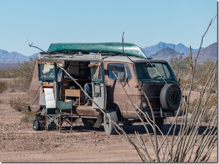
Bob's van BLM Palm Canyon Rd Kofa National Wildlife Refuge ArizonaBlogging as Bob’s Eyes, Bob hails from northern California where he has water to actually use that kayak on the roof.  His classic Chevy van conversion has seen a few rebuilds including adding 4×4.  It’s a great ride and makes a cozy home on wheels.  He offered to take the van on back roads I can’t/won’t drive, and I am all in for that.  Ever since I was a kid I’ve always been ready to go bye-bye.
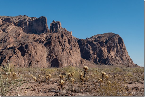
Cholla desert Kofa Mts Queen Canyon Rd Kofa National Wildlife Refuge ArizonaThankfully, Bob is not an early morning person because neither am I.  I may be out of bed by 7 or 8 am but my preference is not to be mobile until at least 9 or 10am.  Yet there’s no rush on these lazy days in Kofa camp.  We spent some time chatting just to catch up, and we’re both yackers.
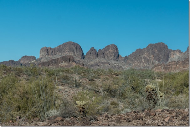
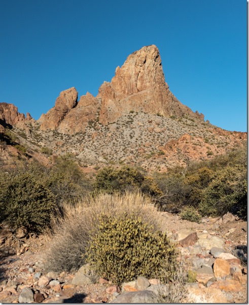
desert Kofa Mts Queen Canyon Rd Kofa National Wildlife Refuge ArizonaWe’re also both photographers, so waited until about 4pm to leave camp and drive the Queen Canyon Road to Skull Rock.  We traveled this road two years ago and I haven’t been back since.
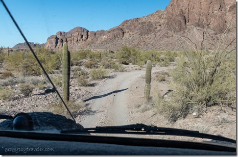
van road desert Kofa Mts Queen Canyon Road Kofa National Wildlife Refuge ArizonaJust a little too rough for my rig.

desert Kofa Mts arch Queen Canyon Road Kofa National Wildlife Refuge ArizonaWatched for Bighorns along the way but no luck.  Kofa National Wildlife Refuge was established in 1939 to protect the desert bighorn sheep.
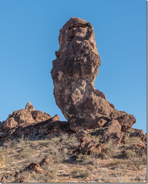
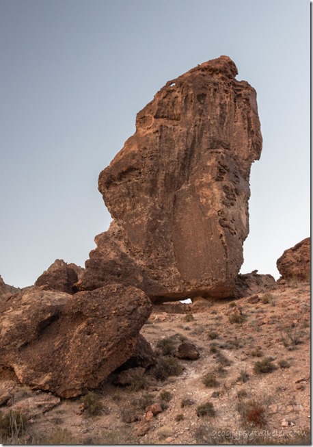
balancing rock desert Kofa Mts Queen Canyon Road Kofa National Wildlife Refuge ArizonaWe parked near Skull Rock that sits below a huge balancing rock.
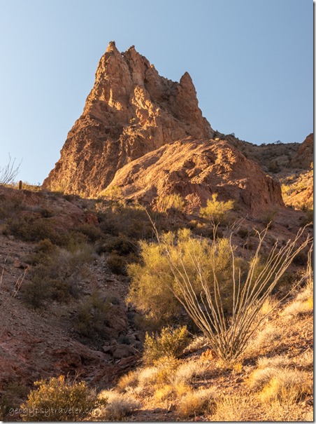
desert wash Kofa Mts Queen Canyon Road Kofa National Wildlife Refuge Arizona

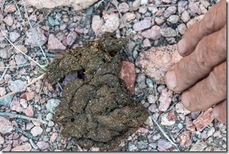
Bighorn Sheep scat Queen Canyon Rd Kofa National Wildlife Refuge ArizonaDesert Bighorn Sheep scat

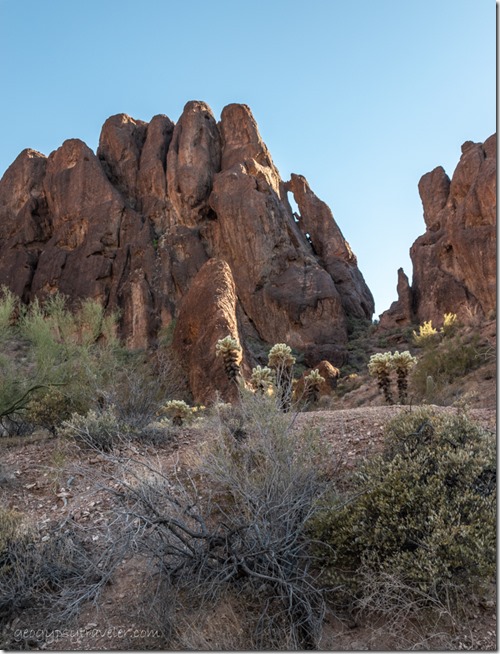
desert Kofa Mts Queen Canyon Rd Kofa National Wildlife Refuge ArizonaBob lead the way up a wash to a water tank, Cereus Tank.
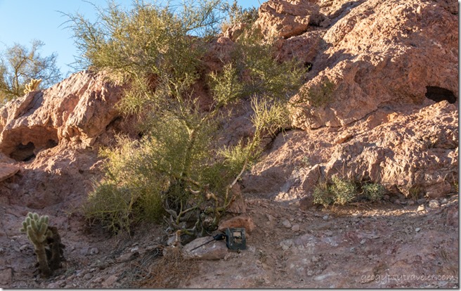
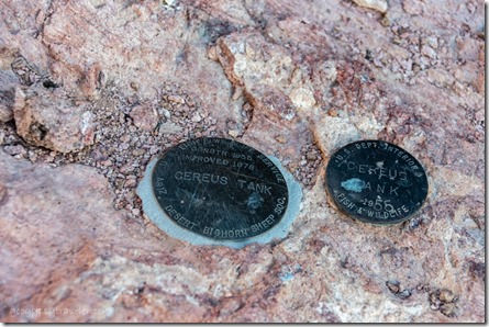
USFWS benchmark Cereus Tank Kofa Mts Queen Canyon Rd Kofa National Wildlife Refuge Arizona

Cereus Tank Queen Canyon Rd Kofa National Wildlife Refuge Arizona

wildlife cam desert Queen Canyon Rd Kofa National Wildlife Refuge ArizonaI’d say this water collection point started off as a natural tank but has been enhanced by humans.  A US Fish and Wildlife trail cam is pointed towards the water.  Bet that captures a lot of cool shots, and why I want a trail camera.  After 20 years of drought, many natural tanks have gone dry.

Balancing rock desert Queen Canyon Rd Kofa National Wildlife Refuge ArizonaBalanced rock

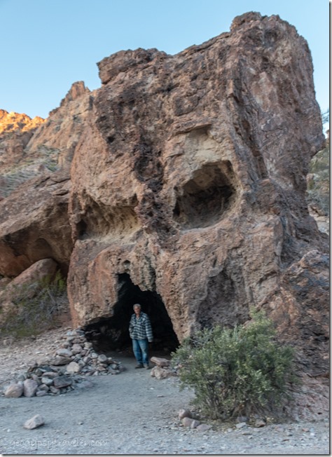
Bob Skull Rock Queen Canyon Rd Kofa National Wildlife Refuge Arizona

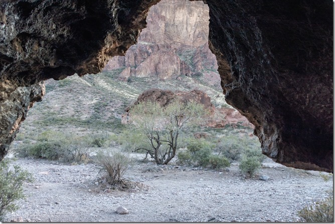
looking out Skull Rock Queen Canyon Rd Kofa National Wildlife Refuge ArizonaLooking out

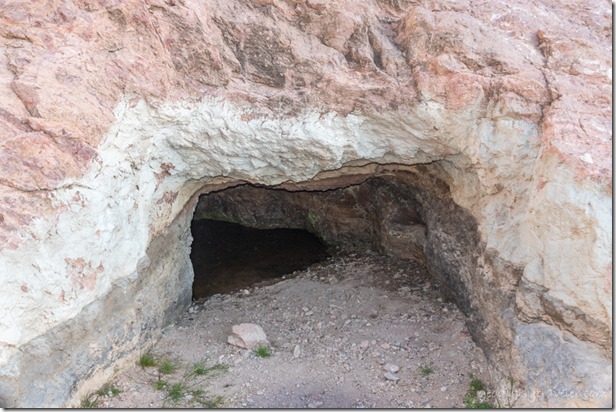
Had to check out the popular Skull Rock.
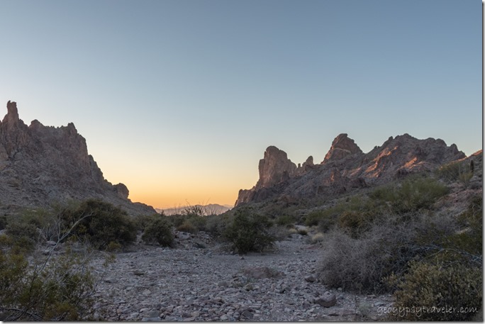
desert Kofa Mts sunset Queen Canyon Rd Kofa National Wildlife Refuge ArizonaThe return drive at twilight was gorgeous.  Finding the turnoff to camp in the dark proved to be a challenge until I recognized the creosote bushes.  Went inside for a late dinner and listened to the coyotes sing.
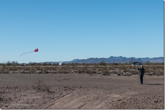
Bob flying kite BLM Palm Canyon Rd Kofa National Wildlife Refuge ArizonaBefore noon the next day a light wind prompted Bob to get his kite out.  He had to make a few adjustments and did finally get it off the ground.  Dare I call the low slow kite a senior dance with rests, much like its owner.
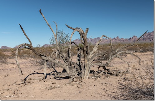
dead tree BLM Palm Canyon Rd Kofa National Wildlife Refuge ArizonaLater in the day we took a couple hour walk from Kofa camp, mostly just moseying along and of course taking photos.  We lost site of camp briefly, but made it back.
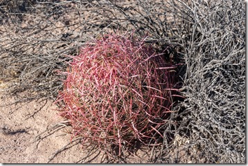
red Barrel cactus BLM Palm Canyon Rd Kofa National Wildlife Refuge ArizonaBecause Bob pushed encouraged me to take video to post on YouTube I added that to my repertoire using my phone.  What a learning curve.  I made short videos and put them together for a test using the video editor in the Photos app on Windows 10.  I also made a video tour of the truckcamper in one shot.  I like the shorts better because if I don’t like the take, I can easily do it again.  I will have to practice a lot more and post them as I go on my new YouTube channel, Geogypsytraveler.  Hope you’ll check them out, like, share, and PLEASE subscribe.  If I can get to 1000 followers, YouTube will monetize the channel and I would love to augment my income to keep on traveling and sharing.  Thanks in advance.
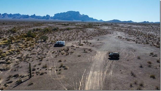
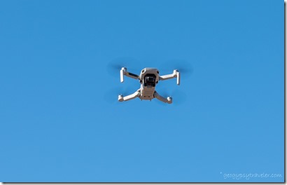
DCIM\100MEDIA\DJI_0162 drone shot of RVs desert Kofa Mts Palm Canyon Rd Kofa National Wildlife Refuge Arizona.JPGBob sent his drone up the next day.  He says it’s all practice.  Isn’t everything?
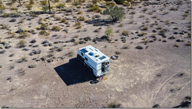
drone in sky BLM Palm Canyon Rd Kofa National Wildlife Refuge Arizona

drone shot Gaelyn at truckcamper door BLM Palm Canyon Rd Kofa National Wildlife Refuge Arizona by BobI spent most of the day figuring out how to move videos from phone to laptop by either Bluetooth, very slow, or just tethering which is much better.  Then I put together another video walking around Kofa camp.  Bob is getting used to his phone because at home he doesn’t have enough signal to use it regularly.  So we’re  teaching each other all kinds of things.  See, you can teach old dogs new tricks.
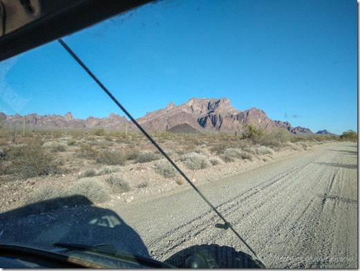
in Bob's van Palm Canyon Rd Kofa Mts National Wildlife Refuge ArizonaIn the afternoon we took a ride in Bob’s van to the end of Palm Canyon Road.  We’ve both been there, but mostly the van batteries needed charging.
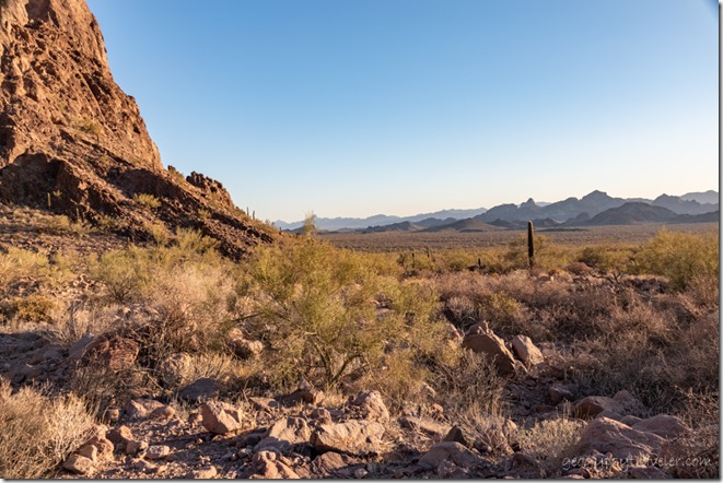
Palm Canyon trailhead Kofa National Wildlife Refuge Arizona

desert S of Palm Canyon Kofa National Wildlife Refuge ArizonaDidn’t walk up the Palm Canyon trail and instead walked a short ways south in an adjacent dry wash.
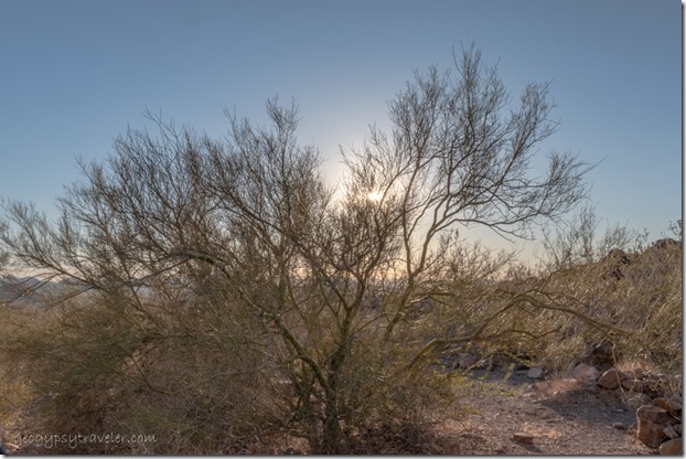
Bob Palm Canyon wash Kofa National Wildlife Refuge Arizona

into the sun Palo Verde tree Palm Canyon wash Kofa National Wildlife Refuge ArizonaMostly hung out for the evening light and did get back to camp before dark.
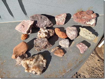
rock & cactus Kofa Mts Palm Canyon Kofa National Wildlife Refuge Arizona

bumper collection Bob with kite desert BLM Palm Canyon Rd Kofa National Wildlife Refuge ArizonaI took more photos and more videos so spent the evening putting together another YouTube video saying bye-bye to Kofa camp.
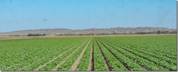
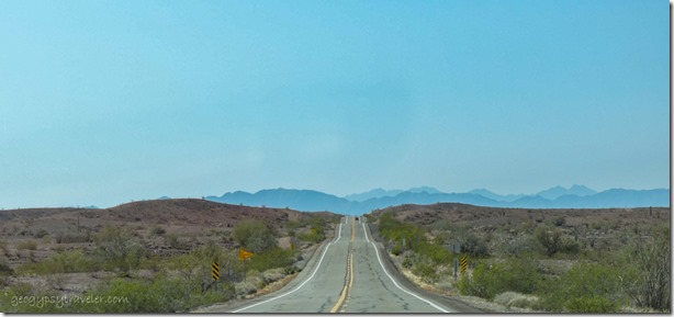
desert mts SR95 South Arizona

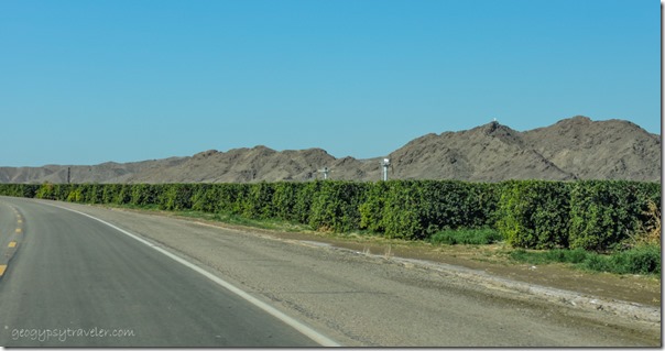
orchard mts near Yuma Arizona

crops near Yuma ArizonaLots of agriculture surrounding Yuma

Because the next morning we left Kofa camp.  Actually got on the road by 10am and drove south to Yuma to shop.  How I hate towns and traffic.  Always takes me too long in any store.  The energy is so weird I have to work extra hard to stay focused.  Of course it had been two weeks since my last shopping.
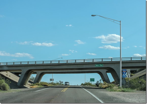
I8 underpass SR85 south to Ajo ArizonaFinally got on I8 east to Gila Bend.  Oh yuck, so much truck traffic and everybody going over 80mph, except us.  Paid $5.55/gallon for diesel along the interstate.  Ouch!  I was going to dump and fill in Gila Bend but after getting turned around in town changed my mind and instead just headed south to Ajo and a few miles beyond.  Had enough propane and water for at least a couple more days.
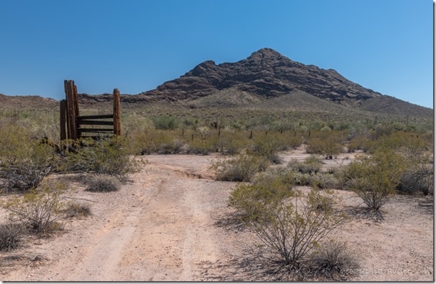
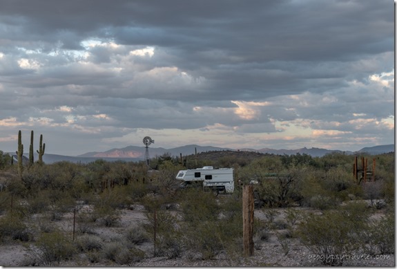
Truckcamper view Black Mt BLM Darby Well Rd Ajo ArizonaMy usual go to places along Darby Well Road were full so continued further on the road and took the first feasible opportunity.  Darby camp was next to an old abandoned corral area with a windmill and water tank. Some interesting artifacts around.  But at 4:30 after a full day, exploration was put off until the next day.

desert truckcamper windmill reverse sunset clouds BLM Darby Well Rd Ajo Arizona

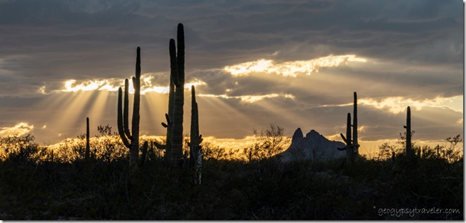
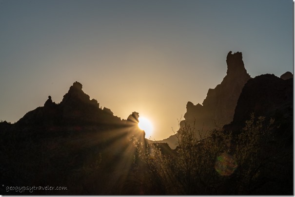
Saguaro desert mts sunset clouds sunrays BLM Darby Well Rd Ajo ArizonaExcept for the exceptional sunset.

Push my buttons!

  • Click to share on Facebook (Opens in new window) Facebook
  • Click to share on X (Opens in new window) X
  • Click to share on LinkedIn (Opens in new window) LinkedIn

Like this:

Like Loading...
Ajo, Arizona, Kofa NWR, Places I've been, RV life, Sonoran desert, United States, Yuma BLM camp, boondocking, Darby Well Road, shopping 21 Comments
15 July 2020

Shopping from Bryce Canyon involves distance and time

I’m not all that keen on shopping whether it’s a long drive to town or online, but that’s what happened last week when I had to go shopping from Bryce Canyon National Park.

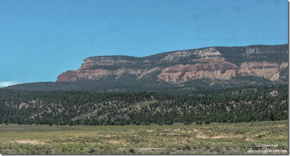
Northeast view Table Cliffs SR12 East UtahNortheast view Powell Point

Grey Cliffs SR12 East UtahI couldn’t bring myself to driving 1 1/2 hours west to the more than adequate sized Cedar City for just a few groceries, mostly fresh fruits and vegies on the list.  So instead I drove about an hour the opposite direction on Scenic Byway SR12 to the cute little town of Escalante.

trees sandstone cliff Puebloan ruin SR12 Utah

trees sandstone cliff Puebloan ruin SR12 UtahAlong the way, a wide place along the road with interpretive signs caught my attention.  The sign indicates looking way up high on the sandstone cliffs for Ancestral Puebloan granaries, food storage structures sort of like our pantries, but they looked more like dwellings to me.  I did not make the several hundred foot climb for further explorations.

house for sale Escalante UtahHouse for sale Escalante, Utah

Mimi's Bakery & Deli Escalante UtahMimi’s

Once in Escalante, first stop was Mimi’s Bakery and Deli for a delicious grilled portabella sandwich for lunch with homemade potato salad and a blueberry muffin for later.  They offer take-out with outdoor seating but I ate mine in the camper.  Got a few things at the grocery store and a couple more at the Organic Grocery. Damn problem with going to town is spending so much money.

East view Tropic Shale SR12 UtahMade one quick stop on the way home because I didn’t have the frozen foods in a freezer.  This overlook by the 7600 foot summit provides a far distant view east across the tropic shale where dinosaurs roamed some 70 million years ago along the marshy edge of an inland sea.

trees Gray cliffs northwest view Powell Point SR12 UtahNorthwest view Powell Point

That was barely 100 miles round trip and took five hours.  A fun and scenic drive with a U, and three-sided view, around Powell Point.

Pink Cliffs trees Yovimpa Point Bryce Canyon National Park UtahSouthwest view from Yovimpa Point

Back to work for my Monday on Saturday with an early start opening the outside information area.  Visitation is 30-50% down from last year but Saturday’s the busiest.

Southeast view Pink Gray White Cliffs clouds Yovimpa Point Bryce Canyon National Park UtahSoutheast view from Yovimpa Point

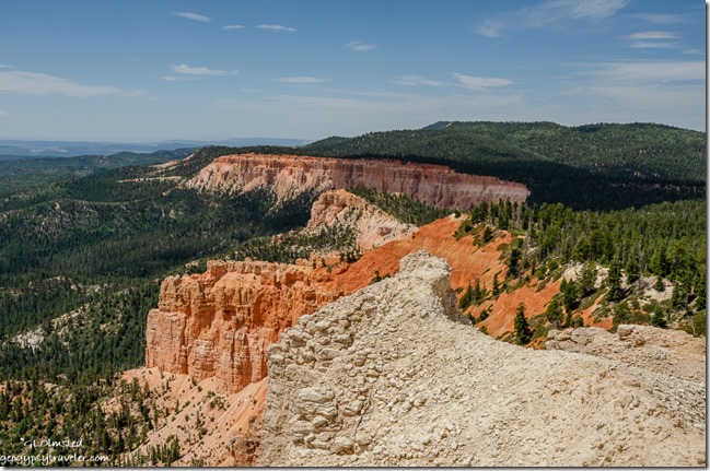
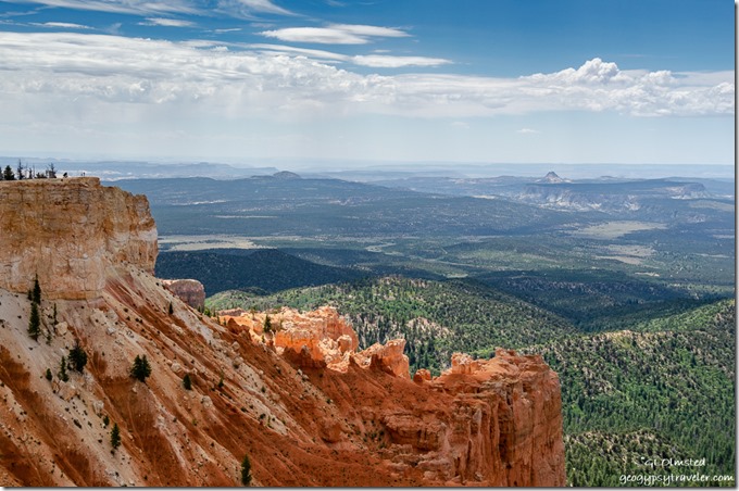
After a several hour stint answering repetitive questions—doesn’t anybody pre-plan and visit websites—I drove to Rainbow Point at the end of the park’s scenic road.  At Yovimpa Point–a short walk to the rim—I presented a couple Grand Staircase geology talks.  Plus took photos of the gorgeous light, shadows, and clouds plus the amazing distant view south across the Grand Staircase geology and national monument.

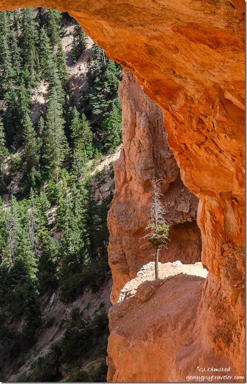
tree under Natural Bridge Bryce Canyon National Park UtahThe tenacity of a tree can teach us much about survival in a harsh environment.

I heard on the park radio lightning was nearby the visitor center and rim talks were cancelled, but never saw a drop of rain.  Though later back home I heard thunder while considering a trip to the rim for sunset.  Yet I just didn’t have the gumption or energy after a full day under the sun and wind.

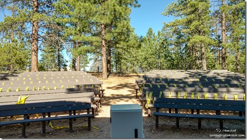
North campground amphitheater seating Bryce Canyon National Park Utah

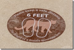
mountain lion 6 feet distancing stickers Bryce Canyon National Park UtahThe next day I started late and presented the 9pm evening program about wildlife in Bryce.  Complete with animal sounds, the audience loved it and laughed when the sounds snuck in.


trees hoodoos light Bryce Canyon National Park UtahTemperatures were up into the high 80s and low 90s so it’s plenty warm hanging outside, especially when on the rim for several hours.  There are a few shady spots I rove from.

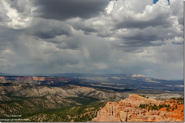
Pink Cliffs valley Table Cliffs storm clouds Rainbow Point Bryce Canyon National Park UtahEast view Powell Point from Rainbow Point

Sometimes it’s windy, which helps cool me off, but have to be careful not to loose my hat.

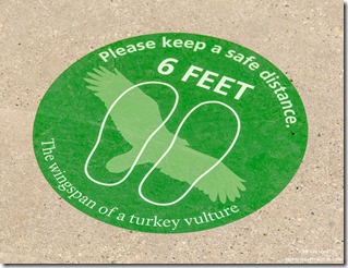
turkey vulture 6 feet distancing stickers Bryce Canyon National Park UtahI should probably get better at shopping online, but I’m a person who likes to touch and read labels so it’s difficult.  Yet somethings are just too far away for in-store shopping, like a new camera.  I asked a couple photographer friends for advice on replacing my well-past-its-time Nikon D5100 purchased in 2012.  I want to be able to use the lenses I already have so there were limitations, including budget.  One person recommended the Nikon D3500 camera body for $350 ordered from WalMart.  Not a bad price just a bad store.  But that version doesn’t include two features I like, AE bracketing and a variable motion LED screen.  Another person basically did the online homework for me and found a Nikon refurbished D5600 from a reputable camera store, B&H, for $449.  Not only does it have those two features I want but I’ll be moving up from 16mp to 24mp with less weight.  Yes, I ordered it last Friday and it should be here this week.  Won’t look much different than what I have.  Report coming.

Of course, as soon as I bought the camera my laptop started acting up.  I’m totally not ready to replace it right now.

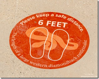
rattlesnake 6 feet distancing stickers Bryce Canyon National Park UtahI recently discovered shopping for masks online is big.  Duh, why wouldn’t that be the case.  I have a couple black cotton masks issued by the park, and a pretty one made by a friend.  But I can’t wear the surgical masks with metal over the nose as my skin is sensitive to cheap metal.  I thought having my smiling lower face printed on a mask would be a good idea but that would also take shopping online.  I’ll think about it.

Suppose I could learn to order online, planning ahead for shopping from Bryce Canyon to Cedar City for my major grocery needs.  Too bad the new Natural Grocers’ doesn’t offer that option but I do like to cruise that store finding sales and sometimes items that weren’t on my list.  I’ll save that trip for next week, maybe.

West view Powell Point SR12 West UtahView west Powell Point through dirty window

I’m finding it difficult to travel into unknown places where I’m not exclusively outdoors and able to easily distance from people, especially those not wearing masks.  I even try not to spend much time in the Admin building/visitor center. Indoor time is typically my own RV home and vehicle.  Hope you’re not getting bored with the daily life of a seasonal Park Ranger at Bryce Canyon.

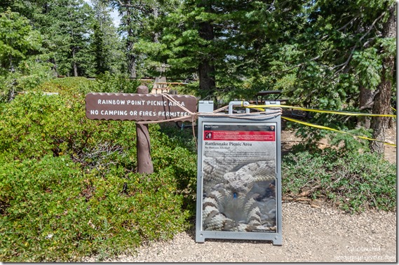
signs picnic area closed due to snakes Rainbow Point Bryce Canyon National Park UtahPicnics leave food scraps for rodents who become prey to snakes at Rainbow Point

This article speaks volumes.  I hope we’re not loving our national parks, and each other, to death.

Push my buttons!

  • Click to share on Facebook (Opens in new window) Facebook
  • Click to share on X (Opens in new window) X
  • Click to share on LinkedIn (Opens in new window) LinkedIn

Like this:

Like Loading...
Bryce Canyon National Park, COVID-19, Park Ranger, Places I've been, United States, Utah new camera, Park Ranger, RV life, shopping, travel 20 Comments
30 July 2019

Shopping road trip Bryce Canyon to Cedar City, and back

In early July there was still construction on SR12 to the west so also a slight delay for my morning road trip from Bryce Canyon to Cedar City for a long day of shopping.  Only the first of several incidents for the day.
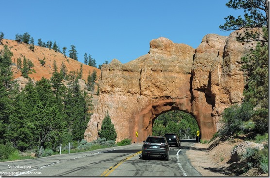
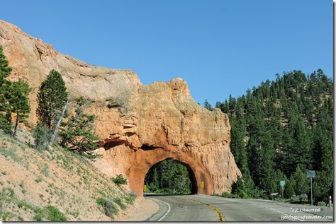
cars arch SR12 West Red Canyon Dixie National Forest UtahYet it’s always pretty driving through Red Canyon and their blasted-tunnel arches.  Not a bad place to be stuck in construction traffic.

aspen SR14 Dixie National Forest Utah

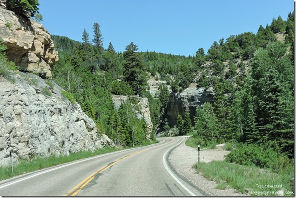
meadow trees mountain SR14 Dixie National Forest UtahPlus the rest of the drive is scenic and I do like the curvy State Route 14 through a lava field, past the aspen (making note for fall color), and meadows with some flowers.

Past the Cedar Breaks National Monument turnoff, a literally cool location at almost 10,000 feet, and a tempting side trip for another time.

red cliffs trees moon SR14 Dixie National Forest UtahThen descending with a quick peak back at some hoodoos.

cliffs trees SR14 Dixie National Forest Utah

cliffs trees SR14 Dixie National Forest Utah

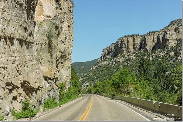
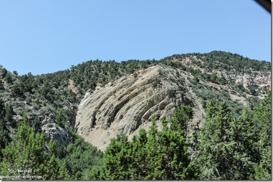
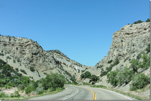
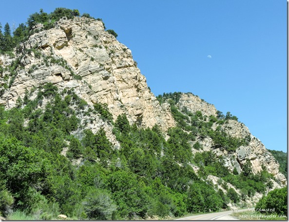
cliffs trees SR14 Dixie National Forest UtahThrough more curves surrounded by towering cliffs and some interesting looking geology.

cliffs trees SR14 Dixie National Forest UtahUntil many curves later and 5,000 feet lower Cedar City came into sight.

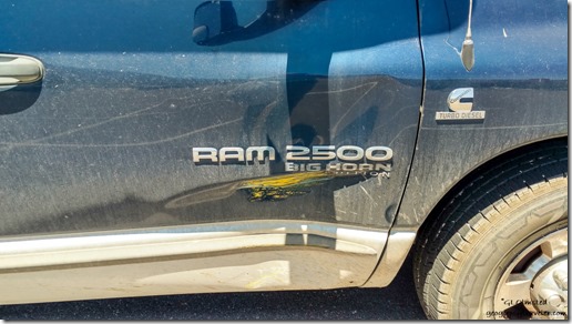
crunch on truck Cedar City UtahNow I’m not keen on shopping in big towns but sometimes the list gets long, so once a month I bite the bullet and then have several stops to make.  Pulling into a parking lot with a huge dip knocked off part of the sewer attachment, no leakage, and I was able to retrieve the piece. Second time this has happened but this time not as serious. Then, I creamed the passenger door on a short yellow cement post and left a crease.  The first mark I’ve put in this ole gal. Door still opens.

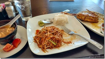
chicken Tom Yum soup Pad Thai & Satay at Sweet Basil Cedar City UtahThings got better after that with a delicious Thai lunch at Sweet Basil.  The best part about going to town is eating out.  Oh, and fresh produce.

cliffs trees moon SR14 Dixie National Forest UtahFinally after too many hours shopping I headed back on the pretty scenic drive with a waxing moon hanging over the landscape of Cedar Canyon.

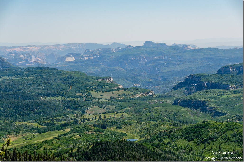
Grand Staircase view South SR14 Dixie National Forest UtahMade a stop at the Grand Staircase viewpoint.  Sadly a bit hazy (could be smoke) to see the entire 80 miles south to the Kaibab Plateau.  However this is an interesting perspective of Zion’s white cliffs about 55 miles away.
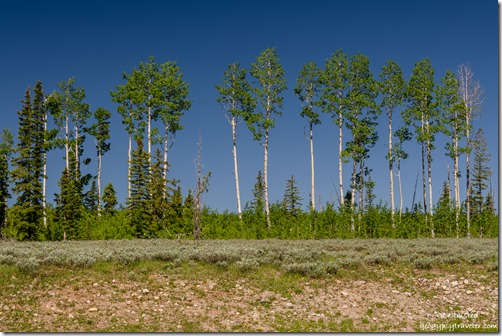
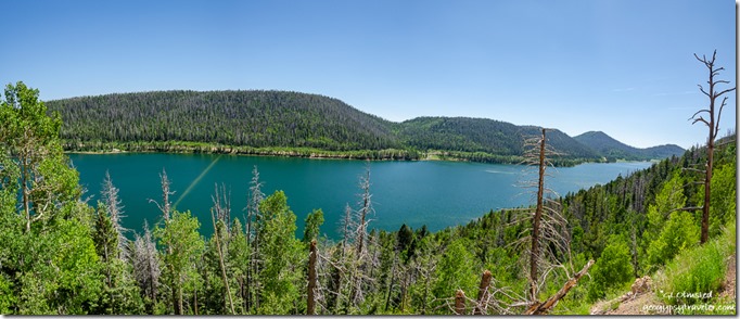
Navajo Lake mountain Dixie National Forest UtahAlso stopped at the Navajo Lake overlook showing the lake fuller than I’ve ever seen with even the dike underwater.  Appeared to be quite a few campers along the far shore.

flowers meadow trees SR14 Dixie National Forest UtahBack past the lava flow which I’d like to spend more time exploring.  But as it was getting late enough I whizzed on by.   Thought about a side trip into Cedar Breaks for wildflowers but just didn’t seem like enough blooms yet.  I’ve heard they are in full bloom now so may return.
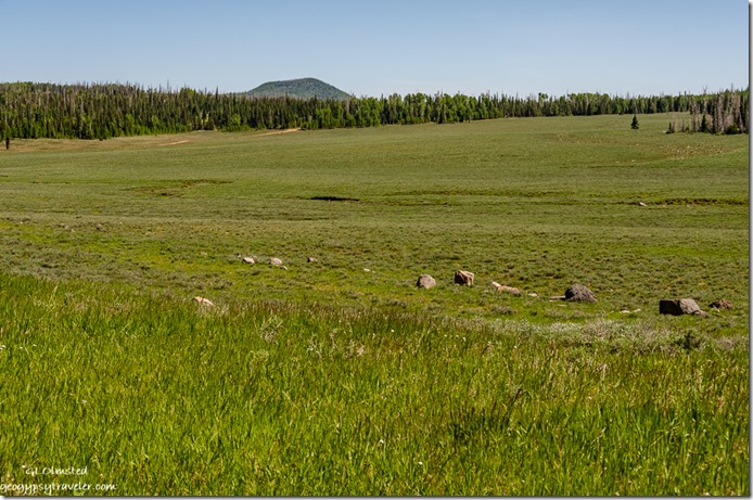
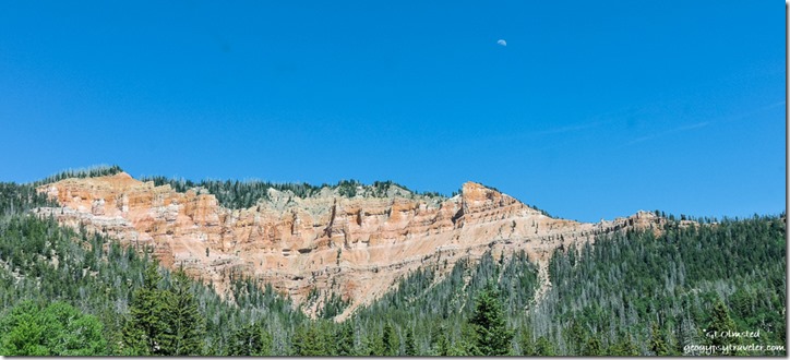
Sevier River meadows Paunsaungunt Plateau SR89 UtahI did explore a side road, maybe a piece of old SR89, I’ve been eyeballing for a while.

fence meadow Sevier River UtahRuns along the Sevier River as it winds like a serpent across meadows and through fenced grazing lands with views east of the Paunsaugunt Plateau where I live, work, and play.

fence meadow Sevier River UtahI always enjoy the rarity of seeing water in the Southwest.

arch red rock trees SR12 East Red Canyon Dixie National Forest Utah

hoodoos trees SR12 stopped for construction Red Canyon Dixie National Forest UtahThen back through Red Canyon, the arches, and the construction wait which gave me time to take a few photos out the truck window.

Sierra cat bag of thrift store clothesIt was a long day driving two hours each direction from Bryce Canyon to Cedar City plus way too much time shopping.  But Sierra seemed to approve of my thrift store purchases.

Push my buttons!

  • Click to share on Facebook (Opens in new window) Facebook
  • Click to share on X (Opens in new window) X
  • Click to share on LinkedIn (Opens in new window) LinkedIn

Like this:

Like Loading...
Bryce Canyon National Park, Cedar City, Utah road trip, shopping, SR14 20 Comments
← Older posts

Hi, I’m Gaelyn, the Geogypsy

I retired after 29 summer seasons as a Park Ranger, traveling solo for 40+ years. My passions include travel, connecting to nature, photography, and sharing stories.

I started exploring US National Parks in 1977 and 20 years later became a seasonal Park Ranger.  I’ve lived full-time in a RV for 30 years working summers and playing winters.  I’m still trying to figure out what I want to be when I grow old, other than grow up.

Let’s share our stories.  Here’s more of mine…

My wheeleastate

I am currently…

…boondocking somewhere in southern Arizona.  In the area, give a shout.

Geogypsytraveler on YouTube

Follow my journey on YouTube. Just click the pic. Hope you’ll like, share, and subscribe.

Click image for 7 minute documentary (Password “geogypsy” lowercase)

Making the Gypsy documentary is a story of its own.  Click below for the rest of the story.

Living nomadically & connecting to nature documentary

Subscribe to Blog via Email

Enter your email address to subscribe to this blog and receive notifications of new posts by email.

Photos available for sale include prints, greeting cards, coffee mugs, tote bags, phone cases and more

Reflected Wave 24X16 metal print under $100

Custom Coffee Mugs

Many items to choose from including prints

The Last Blast 24 x 16″ metal print under $100

Need a signal boost? When I boondock on public lands sometimes signal is weak or intermittent and a booster helps. Click the pic to visit WeBoost.

Connecting to nature and the rest of the world too.

Please contact me for photo purchases not seen at GLOlmsted Photography

Order fulfillment is by Fine Art America. If you’re not happy with your purchase, for any reason, simply return it within 30 days, and you’ll receive a full refund of the purchase price.

Why read Geogypsy?

The gypsy life spring-summer 1998 - "You were a real pioneer. RV'ing before it was cool." ...Yogi

How do you process photos? - “Your photographs create an Emotional feeling in the viewer...that they become One with You.” …Cindy

Life’s transitions between travel and work play - "I know you love your job as much as you love travel -- it shines through all your posts." ...Sallie

Lions at Kruger National Park - “Wonderful post, thank you. I was hooked start to finish!” … Peter B

11 lessons looking back 2013 - “A great post -- made me think, made me smile, made me want to cry." ...Sallie

Wildlife video Kruger National Park - “Gorgeous, this makes me want to go straight to South Africa now.” … Ayngelina

Living nomadically & connecting to nature documentary - “What an experience you had and gave to the "crew." Sometimes I think you don't realize how unique and inspiring you are.” …Alan

Search

Popular Posts

1. Prioritize the well-being of nature over photography. 2. Educate yourself about the places you photograph. 3. Reflect on the possible impact of your actions. 4. Use discretion if sharing locations. 5. Know and follow rules and regulations. 6. Always follow Leave No Trace principles and strive to leave places better than you found them. 7. Actively promote and educate others about these principles

Categories

Archives

Sites I follow, read & recommend

  • A Full-time Life
  • A Yankee in Belgrade
  • Bob's Eyes
  • Box Canyon Blog
  • Camels and Chocolate
  • Dawns bloggy blog
  • In the Direction of Our Dreams
  • Jane in her infinite wisdom
  • Janie and Steve, Utah Trails
  • Kathie's Birds
  • Las Adventuras
  • Memorable Meanders
  • Oh, The Places They Go
  • On the Road Abode
  • Port Elizabeth Daily Photo
  • Stillhowlyntravels
  • Take to the Highway
  • Technomadia
  • the good luck Duck
  • Travel with the Bayfield Bunch
  • Wandering Earl
  • Wheeling It
  • Yogi's Den

Caught in a Slot 9×12 canvas print under $50

If you don’t like what’s going on in your government, contact your Congress

Directory of Senators

Directory of Representatives

Lijit

© Copyright 2008-2024. Geogypsytraveler.com
%d