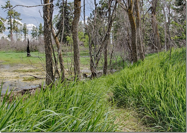
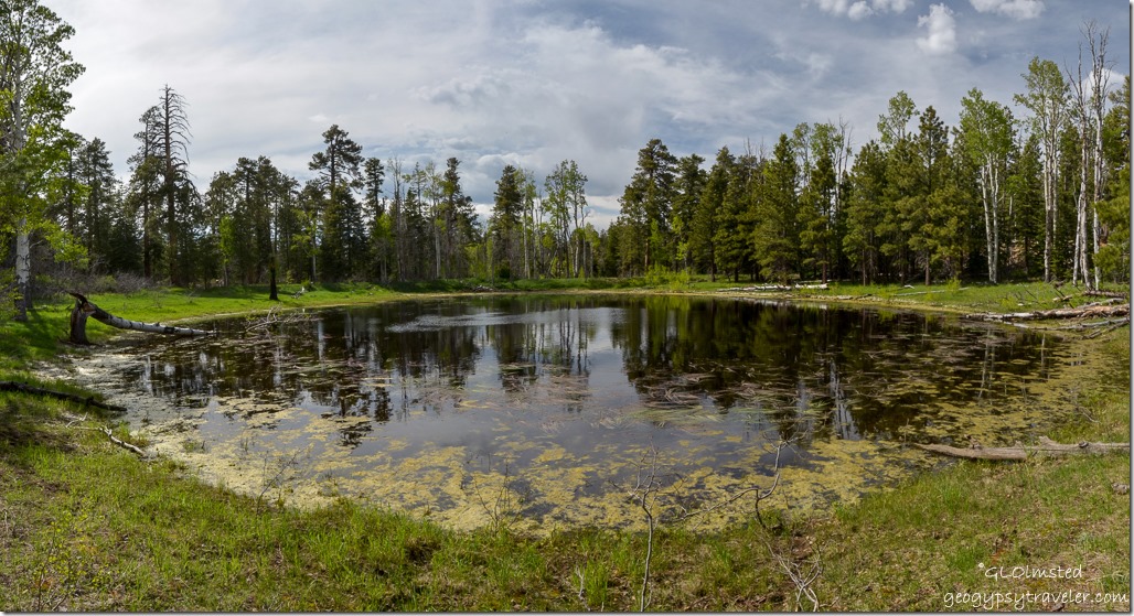
 We call it Greenland Lake although it may look like a pond, or puddle, to you.
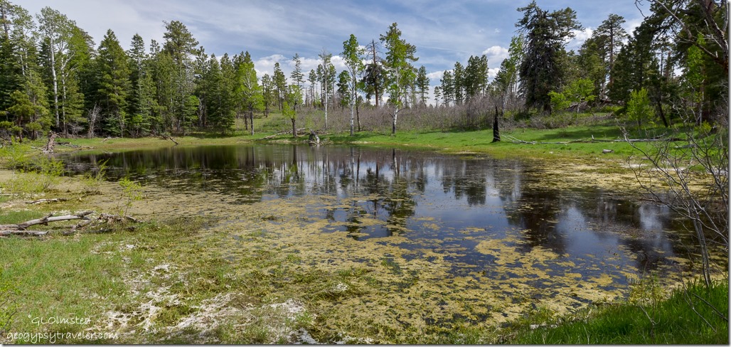 Standing water is rather rare on the Kaibab Plateau. Surface water from snow melt and rain is mildly acidic and seeps through cracks and joints in the Kaibab limestone dissolving the rock and creating a cave under the surface. Then the surface area, lacking support, collapses and creates a sinkhole. Silt and clay flow into the lake sealing the sinkhole’s bottom and enable it to hold water. Yet there is often not enough precipitation to fill the lake.
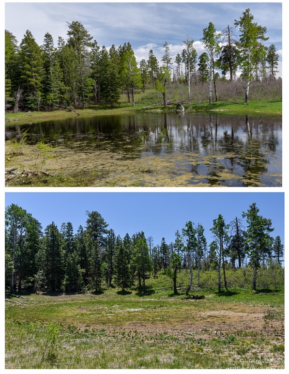 The last time I stopped at Greenland Lake early in June 2014 there was no water so imagine my surprise when the lake looked full on May 30th. That’s a good sign we had a decent snow-pak this winter. My supervisor, who stays through the winter, said 11 feet on the ground at one time.
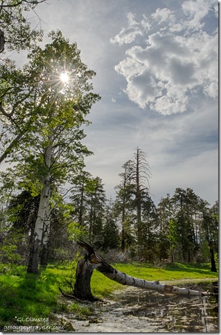 I like to see the changes that occur around the lake. Trees once standing have fallen down and new sprouts of aspen replace them. One dead snag fell into the lake.
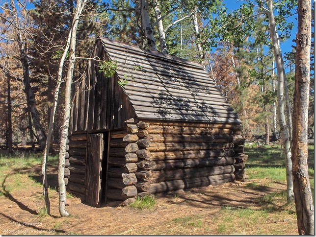 At one time cattle grazed here and a cabin to store salt is near the lake that would have provided intermittent water to the livestock. It’s only a 200 yard walk, past the lake to the cabin but instead I walked around the shoreline watching out for gopher mounds that can be a real ankle biter.
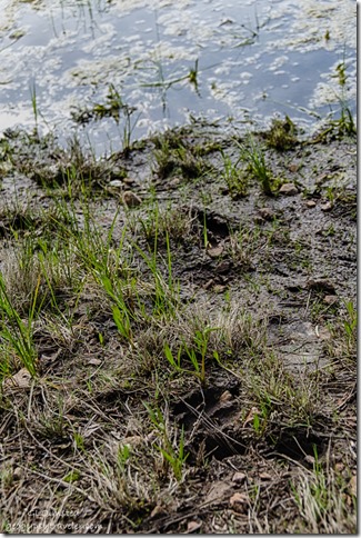 Now, this waterhole provides for wildlife like deer, cougar, and bobcat. Swifts flew in and out searching for insects but way too fast for me to photograph.
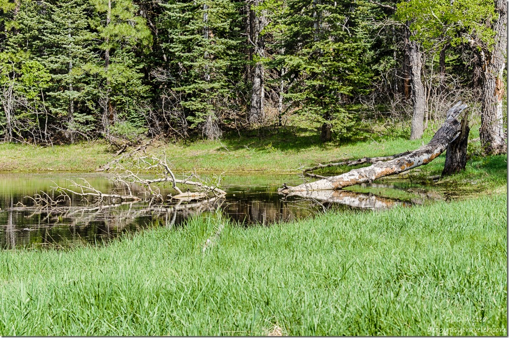 I marveled at the reflections from different angles around the lake.
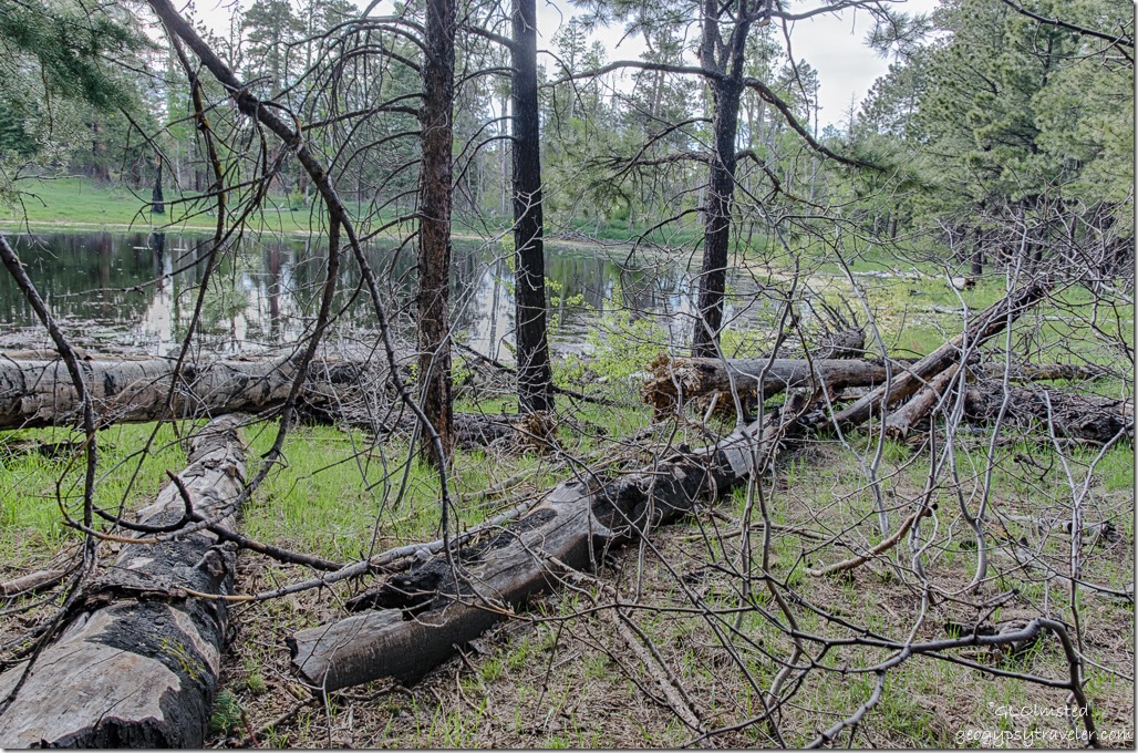 And had to do a little scrambling to get around the far side of the lake. Shoreline was soft and some areas were thick in New Mexico Locust which is full of thorns.
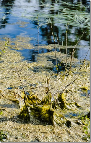 Not sure what the mucky looking stuff is but made for an interesting pattern. Maybe that’s where the salamanders hide out.
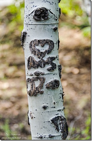 I recommend the stop along the Cape Royal Road to explore Greenland Lake and the Salt Cabin. But please don’t carve into the trees.

