• Home
  • About Geogypsy
    • Herstory
    • Parks where I’ve worked
  • Places I’ve been
    • United States
      • Arizona
        • Antelope Slot Canyon
        • Casa Grande Ruins National Monument
        • Colossal Cave Mountain Park
        • Flagstaff
        • Glen Canyon National Recreation Area
        • Grand Canyon National Park
          • Grand Canyon National Park North Rim
          • Grand Canyon National Park South Rim
          • Toroweap
        • Havasu Canyon
        • Horseshoe Bend
        • Jerome
        • Kaibab National Forest
        • Lee’s Ferry
        • Meteor Crater
        • Navajo Bridge
        • Oak Creek Canyon
        • Painted Desert
        • Pipe Springs National Monument
        • Prescott
        • Quartzsite
        • Saguaro National Park
        • Sedona
        • Sunset Crater Volcano National Monument
        • Vermilion Cliffs
        • Walnut Canyon National Monument
        • Wupatki National Monument
        • Yarnell
      • California
        • Anzaberrego
        • Bakersfield
        • Death Valley National Park
        • Joshua Tree National Park
        • Redwoods NP
        • Salton Sea
        • Yucca Valley
      • Colorado
        • Mesa Verde National Park
      • Florida
      • Illinois
        • IL River
        • Morton Arboretum
        • Starved Rock State Park
      • Michigan
      • Nevada
      • New Mexico
      • Oregon
        • Crater Lake NP
        • Mt Hood
        • Oregon Caves National Monument
      • Texas
        • Alpine Texas
        • Padre Island
        • Port Isabel
        • Rio Grande Valley
      • Utah
        • Brian’s Head
        • Bryce Canyon National Park
        • Buckskin Gulch
        • Cedar Breaks National Monument
        • Cedar City
        • Coral Pink Sand Dunes State Park
        • Dixie National Forest
        • Grand Staircase Escalante National Monument
        • Johnson Canyon
        • Kanab
    • World Travels
      • Germany
      • Mexico
      • South Africa
  • Tours
  • Photography
  • Work with Me
    • Sponsors
  • Contact
Geogypsy
Menu
  • Home
  • About Geogypsy
    • Herstory
    • Parks where I’ve worked
  • Places I’ve been
    • United States
      • Arizona
        • Antelope Slot Canyon
        • Casa Grande Ruins National Monument
        • Colossal Cave Mountain Park
        • Flagstaff
        • Glen Canyon National Recreation Area
        • Grand Canyon National Park
          • Grand Canyon National Park North Rim
          • Grand Canyon National Park South Rim
          • Toroweap
        • Havasu Canyon
        • Horseshoe Bend
        • Jerome
        • Kaibab National Forest
        • Lee’s Ferry
        • Meteor Crater
        • Navajo Bridge
        • Oak Creek Canyon
        • Painted Desert
        • Pipe Springs National Monument
        • Prescott
        • Quartzsite
        • Saguaro National Park
        • Sedona
        • Sunset Crater Volcano National Monument
        • Vermilion Cliffs
        • Walnut Canyon National Monument
        • Wupatki National Monument
        • Yarnell
      • California
        • Anzaberrego
        • Bakersfield
        • Death Valley National Park
        • Joshua Tree National Park
        • Redwoods NP
        • Salton Sea
        • Yucca Valley
      • Colorado
        • Mesa Verde National Park
      • Florida
      • Illinois
        • IL River
        • Morton Arboretum
        • Starved Rock State Park
      • Michigan
      • Nevada
      • New Mexico
      • Oregon
        • Crater Lake NP
        • Mt Hood
        • Oregon Caves National Monument
      • Texas
        • Alpine Texas
        • Padre Island
        • Port Isabel
        • Rio Grande Valley
      • Utah
        • Brian’s Head
        • Bryce Canyon National Park
        • Buckskin Gulch
        • Cedar Breaks National Monument
        • Cedar City
        • Coral Pink Sand Dunes State Park
        • Dixie National Forest
        • Grand Staircase Escalante National Monument
        • Johnson Canyon
        • Kanab
    • World Travels
      • Germany
      • Mexico
      • South Africa
  • Tours
  • Photography
  • Work with Me
    • Sponsors
  • Contact

Tag: rockhound

03 January 2023

Exploring the Cargo Muchacho Mountains

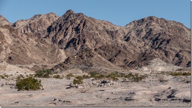
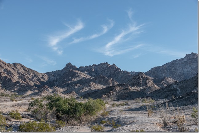
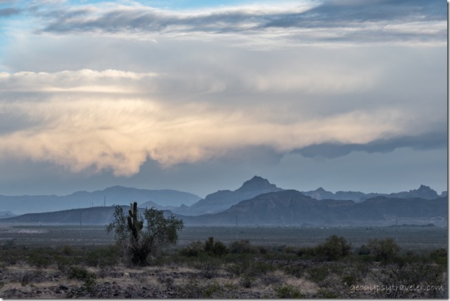
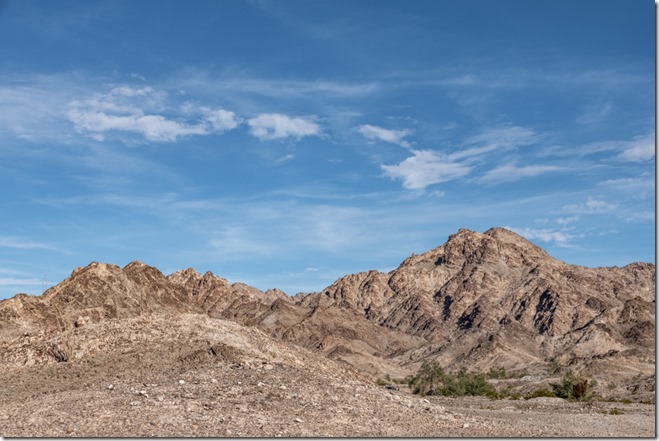
Cargo Muchacho Mts clouds Tumco CAIt’s not terribly crowded on this BLM boondock along the southern feet of the Cargo Muchacho Mountains, don’t tell anybody, but I happily share the view with a few distant neighbors and when the weather permits I walk, sometimes discovering flowers, rocks, and animal tracks.
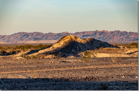
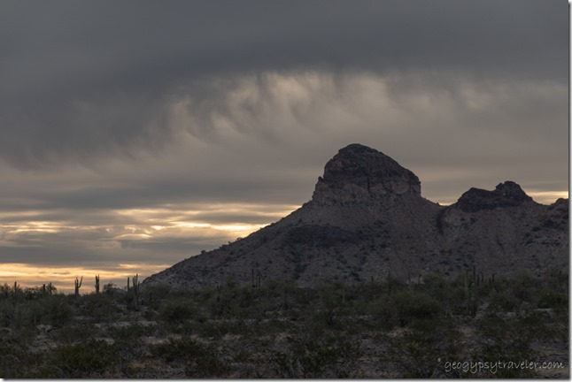
morning shadows Cargo Muchacho Mts Tumco CANothing wrong with my last camp along American Girl Mine Road, but after running errands in Yuma I opted to be closer to the rugged Cargo Muchacho Mountains so drove further north on Ogilby Road and followed a typical two-track not far beyond Tumco, the historic mining town site.

horse head shadow Cargo Muchacho Mts Tumco CAHorse head shadow

Sadly my first choice for camp had very iffy signal so I moved a bit but it still didn’t improve.  I truly liked the view enough to suffer that for another day and took a couple short walks.  Also walked back up the road a bit around the tip of a small ridge and found better signal that might also block some of the typical northern winter winds.
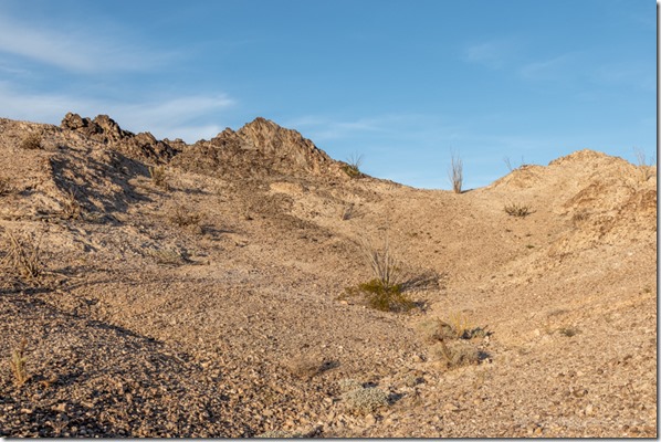
BLM Cargo Muchacho Mts Tumco CASo I moved the next day and was able to post on the blog and upload the video about Mexico.  And of course still had a beautiful view of the Cargo Muchacho Mountains.
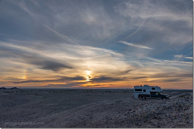
truckcamper sundogs BLM Cargo Muchacho Mts Tumco CA

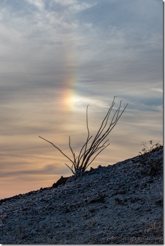
Ocotillo sundog BLM Cargo Muchacho Mts Tumco CAThat afternoon high cirrus clouds showed sundogs to both sides of the sun.
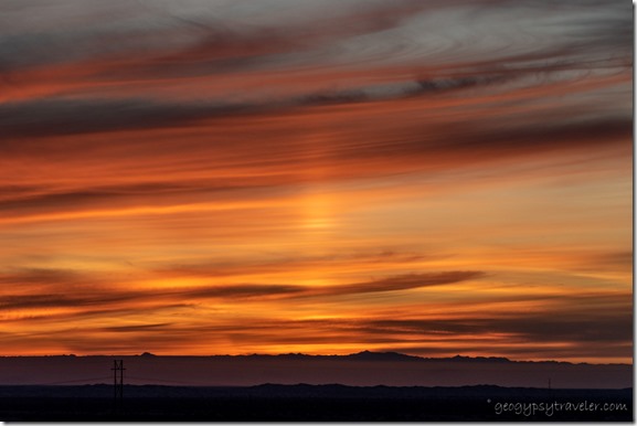
sunset clouds BLM Cargo Muchacho Mts Tumco CA

sunset clouds BLM Cargo Muchacho Mts Tumco CA

sunset clouds BLM Cargo Muchacho Mts Tumco CA

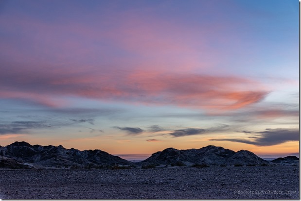
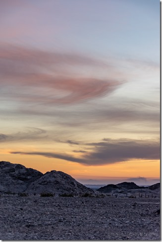
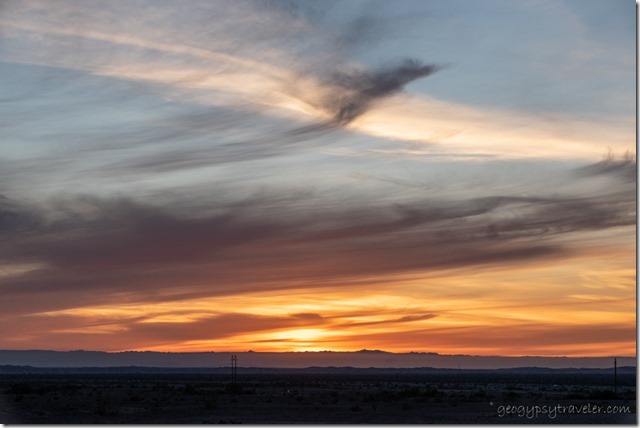
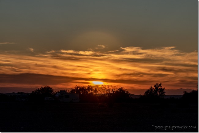
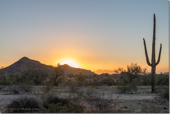
sunset clouds sun pillar BLM Cargo Muchacho Mts Tumco CAFollowed by an outstanding sunset that I took far too many photos of and ended with a pillar of light.  I figure these are all good signs for a well chosen camp.
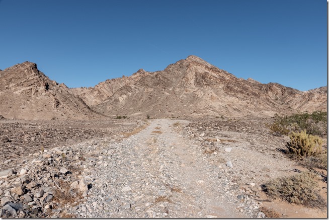
rd desert Cargo Muchacho Mts Tumco CAA 73° day with barely a breeze called me out for a walk.  I generally just follow the two-track roads that 4x4s and OHVs use then wander off to attractive sights.
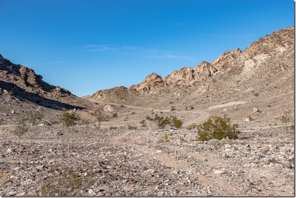
rd desert Cargo Muchacho Mts Tumco CAMany side roads also look inviting yet can be saved for another day.
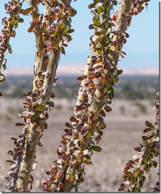
Ocotillo desert Cargo Muchacho Mts Tumco CA

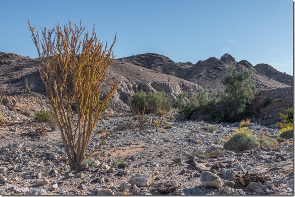
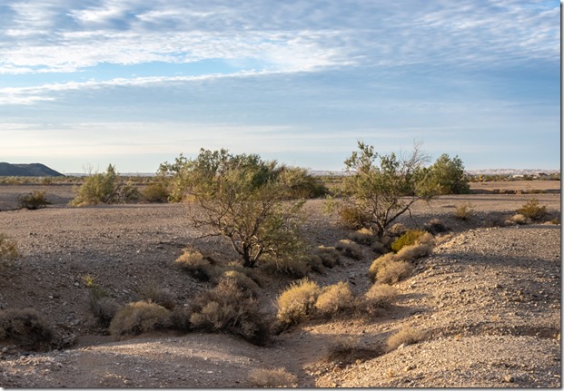
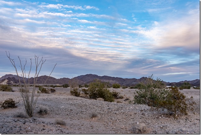
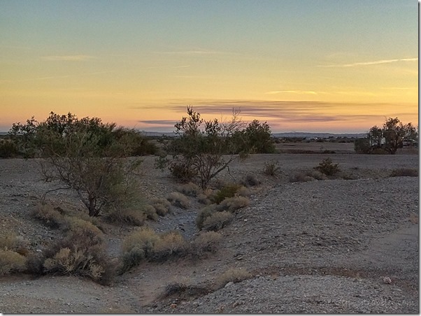
colorful Ocotillo leaves Cargo Muchacho Mts Tumco CAThe road often crosses boulder strewn dry washes where the vegetation is found.  Sunshine highlights the fall colored leaves of Ocotillo and the still flowering Brittlebush.
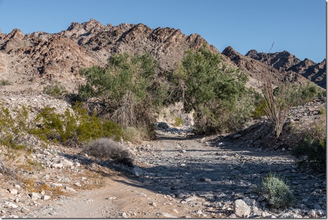
rd desert trees wash Cargo Muchacho Mts Tumco CASometimes the wash is the road.

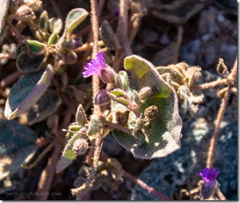
unidentified tiny purple flowers Tumco CATiny purple flowers caught my eye.

aluvial fan desert Cargo Muchacho Mts Tumco CA

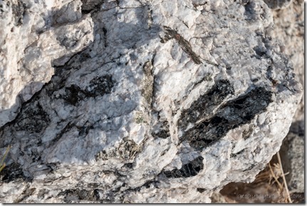
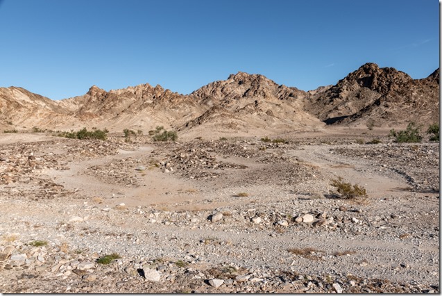
rock Cargo Muchacho Mts Tumco CAAmazing rock washes down from the Cargo Muchacho Mountains.  Lots of quarts with mineral inclusions.
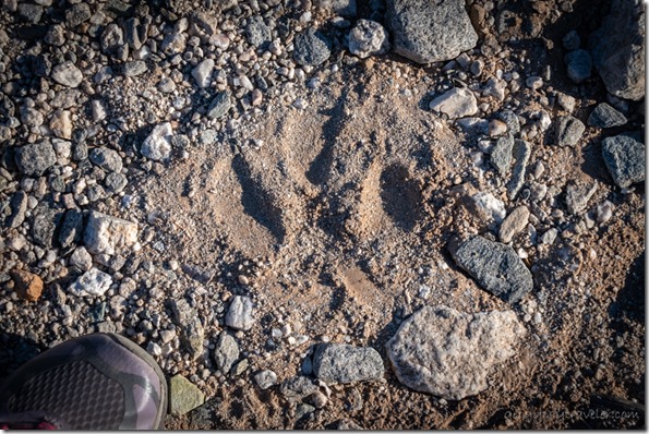
maybe cougar track Cargo Muchacho Mts Tumco CAI am always looking for signs of wildlife and have barely seen anything including birds in this dry environment.  This track got my attention.  Note the size compared to my shoe and lack of claw marks which makes me think a cougar walked this way.  I didn’t see any more tracks in the rocky wash.  A rare animal to actually see in the wild yet we are likely to be seen by it.
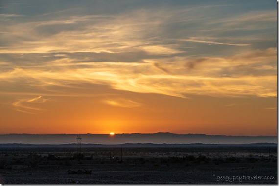
sunset clouds Cargo Muchacho Mts BLM Tumco CAI only walked a mile round trip but was gone for more than two hours.  That’s the way I stroll.

Christmas eve’s 76° drew me outside to read in the sunshine.  Later in the day a neighbor came over and we shared little treats as we shared our herstories.  I took no photos that day.  That evening, I heard from a friend that a mutual high school friend had passed away.  We had both dated John at different times in our lives.  I know that getting older means loosing more people.  Not easy, yet reminds me how precious this journey called life really is.

elf on xmas treeSo on an almost 80° Christmas day I sat outside and reflected on life.  Wish I could report some epiphany, but basically I just sat and watched the world go by.  I did post a Christmas video made with one of Joann’s puppets.
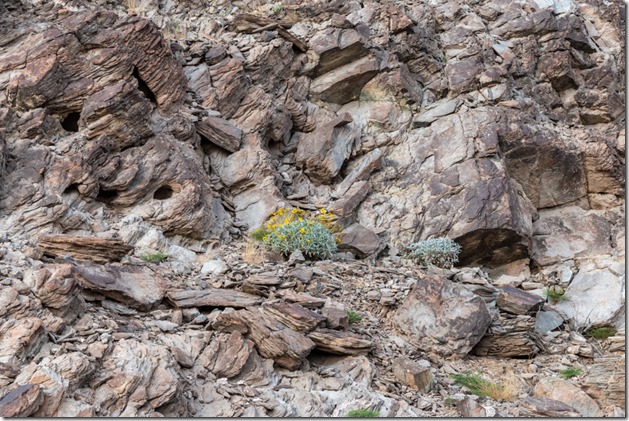
Brittlebush flowers rock Cargo Muchacho Mts BLM Tumco CAThe following day was also warm.  Another short walk along a different road into the Cargo Muchacho Mountains took me past a neighbor with a delightfully friendly dog named Kofa.  Seeing what looked like a covered telescope I asked and the cover came off in a flash.  This neighbor is an astrophotographer and shared some examples of his images.  WOW!!  Think I’ll stick to the moon.
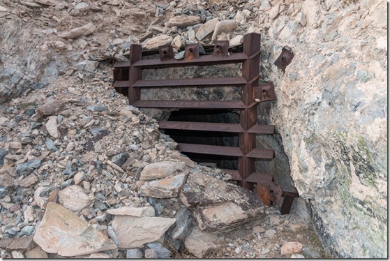
bat gate over mine shaft Cargo Muchacho Mts BLM Tumco CAGatee over mine opening allows bats through b

And what I see along life’s way.
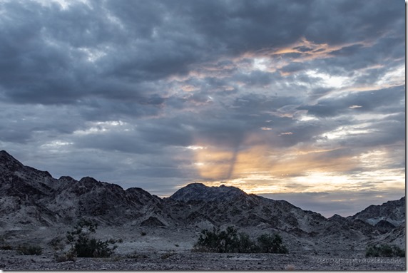
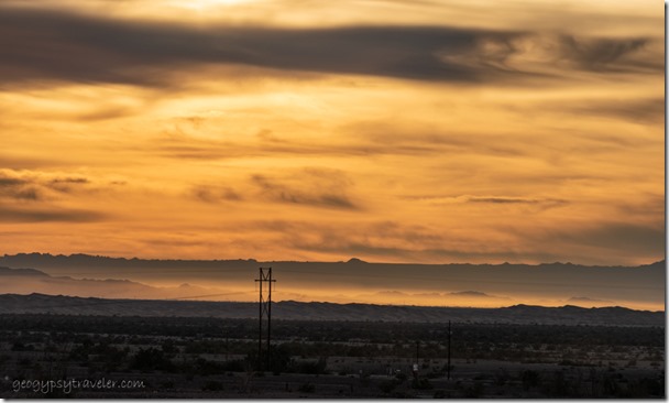
wind blown sunset clouds dunes mts Cargo Muchacho Mts BLM Tumco CAPlus sunsets.

desert mts sunrise clouds Cargo Muchacho Mts BLM Tumco CA

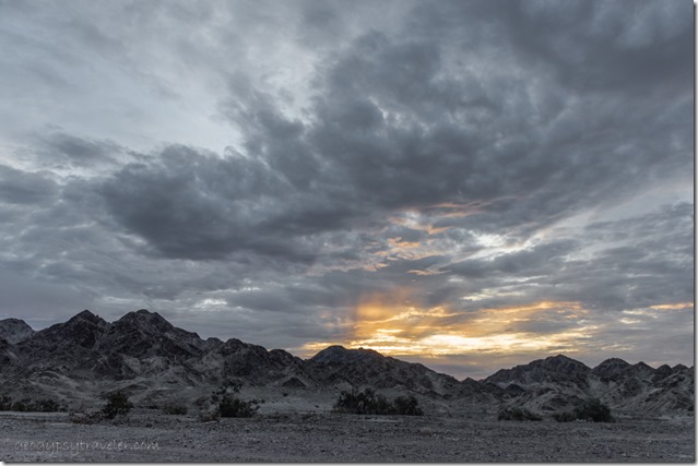
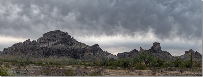
desert mts sunrise clouds Cargo Muchacho Mts BLM Tumco CAAnd sometimes sunrises.  The clouds hung out most of the day and thickened towards evening along with an increase of wind.  Prediction for that night and next day was rain.  That would curtail more exploring at least for a few days.


Push my buttons!

  • Click to share on Facebook (Opens in new window) Facebook
  • Click to share on X (Opens in new window) X
  • Click to share on LinkedIn (Opens in new window) LinkedIn

Like this:

Like Loading...
California, Cargo Muchacho Mts, Places I've been, United States boondocking, cougar track, desert, rockhound 26 Comments
27 December 2022

Moving to mining country Cargo Muchacho Mountains

quartz with maybe gold Cargo Muchacho Mts Tumoc CAShopping in Yuma twice within a week was a bit much, yet happily balanced boodocking at the feet of the quiet Cargo Muchacho Mountains that offer lots of options for desert walks, a historic townsite, and rockhounding.  Presumably, there’s gold in them hills.

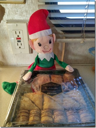
elf baklavaAmerican Girl Mine Rd camp Felicity CA

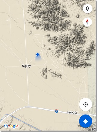
I happily left the noisy BLM-VFW camp early Wednesday morning as I had to go to Yuma for supplies plus find a new campsite before dusk.  Bought groceries, treated myself to a Thai lunch, and filled the tank for an amazing $4.299/gallon for diesel.  Not a great price but lowest seen in forever.  Then I headed west for California.  Not far across the border and just a little past Felicity, the official Center of the World, I took Ogilby Road—where I’ve been before—north into a huge track of BLM public land.  Don’t need coordinates, just find the space you like without driving over plants and near an existing rock fire ring for up to a 14-day stay.

Ocotillo desert last light BLM American Girl Mine Rd Felicity CAI opted for a turn onto American Girl Mine Road and eventually found a place to my liking not too close to others and next to a cute little wash.  Lots of pretty rocks, great views of the Cargo Muchacho Mountains, and distant view of the Imperial Sand Dunes.  Much better signal even allowed a 360° video of camp.

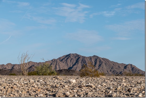
desert Cargo Muchacho Mts BLM American Girl Mine Rd Felicity CA

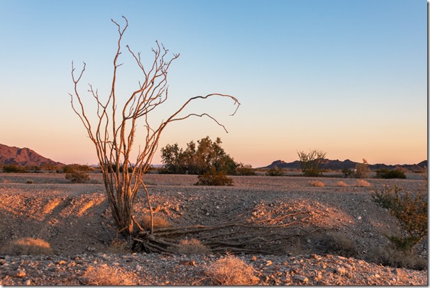
Ocotillo BLM American Girl Mine Rd Felicity CAOcotillo

A 40° morning felt chill, but I chilled all day in the new camp.  I try to take a down day after moving or town.  Did a short walkabout camp.

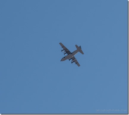
military plane BLM American Girl Mine Rd Felicity CAEnjoyed the quiet, except for military planes.

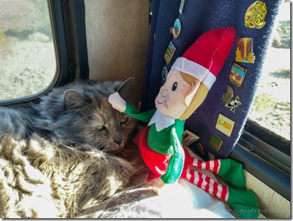
Sierra & elf

desert wash clouds BLM American Girl Mine Rd Felicity CAThe following morning was 10° warmer but the cloud cover and crazy strong wind that persisted all day kept me inside labeling photos from April 2021.  I am far behind but it’s fun to see snow at Bryce Canyon National Park during training.  Thank goodness it’s not that cold here.

desert sunset clouds halo BLM American Girl Mine Rd Felicity CAHowever the combination of high cirrus clouds and ice crystals formed a faint rainbow halo above the setting sun.

Ocotillo desert Cargo Muchacho Mts sunset clouds American Girl Mine Rd BLM Felicity CA

Gaelyn & Sierra t window American Girl Mine Rd Felicity CAThe next day was a repeat with a little more noise from the weekend OHV folks that like to fly down dirt roads in a cloud of dust.

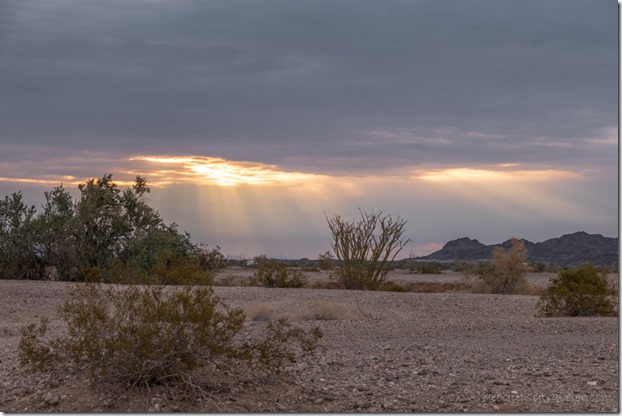
desert morning light sun rays clouds American Girl Mine Rd Felicity CASunday started the upswing in temperatures and was a perfect outdoor day.

stone walls Cargo Muchacho Mts Tumco ghost town CAJoann came over and we went to explore Tumco historic townsite.  Currently a ghost town with a few low rock walls to show where buildings once sat with an 1890s population of at least 500 people.  The Cargo Muchacho Mountains have a long history of mining for gold, silver, copper, kyanite, and other minerals.  After over 300 years of mining, the BLM and the California Department of Conservation’s Division of Mine Reclamation closed commercial mining in 1999 to allow the land to recover and began mine mitigation aimed at eliminating public safety hazards.  I have yet to explore the entire town site and will eventually put up a video.

elf poops chocolate kisses

desert sunset clouds American Girl Mine Rd Felicity CASat outside reading and soaking up sun the following day, resting for the next day in town.

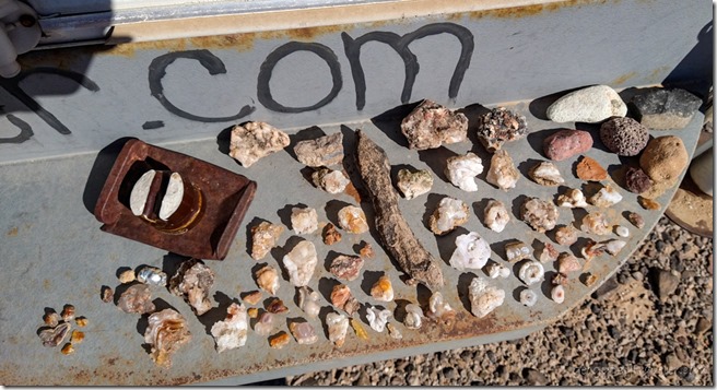
bumper collection rocks American Girl Mine Rd Felicity CABumper collection

Seems like I just shopped, but figured to stock up on everything before the last minute holiday rush in Yuma.

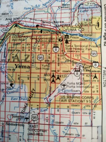
Yuma population close to 100,000

First stop, a shower at Joann’s place.  She will spend Christmas with family, and we’ve already celebrated together.  Then I shopped, dumped tanks, and filled propane driving round and round in busy traffic.  Using Google maps gets me where I need to go but doesn’t really help me get to know the town.

desert Cargo Muchacho Mts clouds Tumco CAFinally back to Ogilby Road and this time drove a little beyond the Tumco site to a remote area with a fantastic view of the Cargo Muchacho Mountains.  (360° camp video here.)  Sadly the signal was iffy at best so I guess the light I saw on the tallest peak isn’t a tower.  Above that I saw Mars plus Orion rising over the ridge.

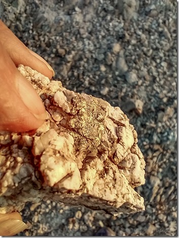
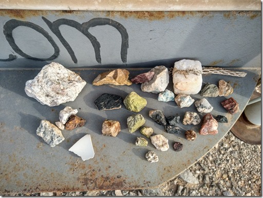
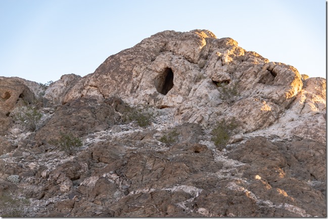
mine holes Cargo Muchacho Mts Tumco CAA 71° afternoon drew me out to explore a bit around camp.  I sauntered along a two-track road and explored a few diggings and small holes in the Cargo Muchacho Mountains.  Lots of white quartz, some showing sparkle of possible manganese, maybe a little turquoise, and perhaps that shinny stuff is gold and not pyrite.  The bumper will be loaded with rock by the time I move on.

Sierra & elfBut I still have time here to enjoy a peaceful Christmas and more exploring.  Like maybe the Center of the World.  See you next year for more of this story.

Happy New Year!

Push my buttons!

  • Click to share on Facebook (Opens in new window) Facebook
  • Click to share on X (Opens in new window) X
  • Click to share on LinkedIn (Opens in new window) LinkedIn

Like this:

Like Loading...
Arizona, California, Cargo Muchacho Mts, Places I've been, United States, Yuma boondocking, ghost town, rockhound, RV life 24 Comments
08 February 2022

Saddle Mountain petroglyphs and more Sonoran Desert

desert mts stormy clouds Saddle Mt BLM Tonopah AZSaddle Mountain petroglyphs are noted in many places yet with limited information and no really clear trail.  Maybe that’s for the best.  I believe the area is better known for gathering chalcedony and fire agate.

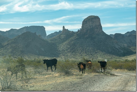
cattle desert mts Saddle Mt BLM Tonopah AZWe were headed to the base of the peak far left, I don’t know where they were going

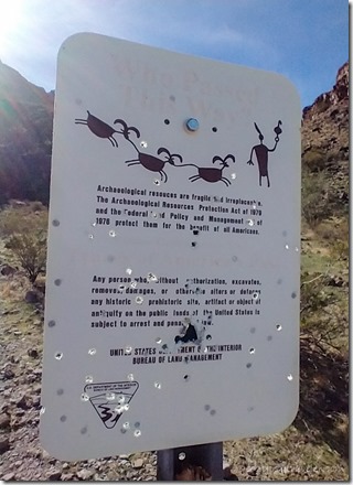
Joann had walked from camp to the parking area but didn’t see any petroglyphs.  Instead she returned with pockets full of pretty rocks.  You can’t walk anywhere around here without something white, brown, or flashy on the ground to catch the eye.  A couple days later, Joann drove us to the parking area where there was a mess from the weekend’s campers who I had heard shooting at something.

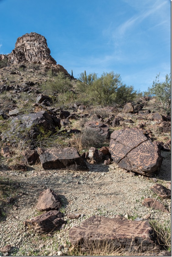
boulders trees desert mt clouds Saddle Mt BLM Tonopah AZThey’d also left beer can cairns that I presumed marked a trail to the Saddle Mountain petroglyphs.  I started a short climb on what appeared to be an animal trail weaving across the slope.  I had seen a friend’s photos of a large slab of rock covered with petroglyphs so swung my head back and forth looking down.  Have to look down anyway just to walk because of all the rock trippers.

petroglyphs Saddle Mt BLM Tonopah AZ

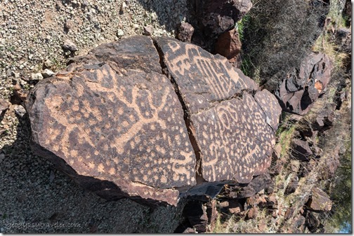
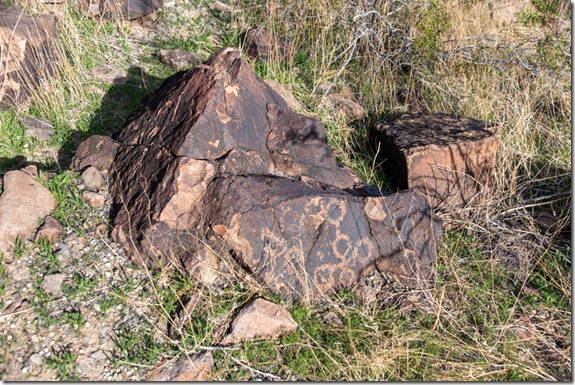
petroglyphs Saddle Mt BLM Tonopah AZThese petroglyphs might have been created on cliff faces but now lay broken on the alluvial fan below the peak.  We didn’t climb very high before going downwards towards another trail only a little more distinct and there it lay.  Joann spotted the first, and largest seen, 8×3 foot slab covered with petroglyphs.  What they mean, is pretty much anyone’s guess.  I interpreted at least three Mt Sheep (upper right and bottom middle)—they do live in the area even though we haven’t seen them—and what I think looks like a map (left) that could represent the three major washes that drain into the Palo Verde foothills and valley below.

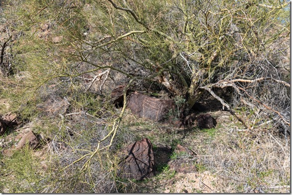
petroglyphs Saddle Mt BLM Tonopah AZThere were more petroglyphs on smaller pieces of nearby rock and as we followed the trail saw a few more here and there along the hillside.  Neither of us climbed further up the scree.  What goes up fairly easily with a walking stick can slide down much quicker with a fall.

petroglyphs Saddle Mt BLM Tonopah AZImagine sitting who knows how long, slowly pecking away the dark outer layer of rock, manganese stain called desert varnish, to reveal the lighter color creating the story you wished to tell. I didn’t have much luck finding information online about who might have left these stories behind.

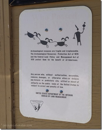
shot trailhead archeology sign Saddle Mt BLM Tonopah AZ    archeology sign Saddle Mt BLM Tonopah AZ

                                                     On left by the parking, on right by the road

Later, I conferred with a friend who is studying petroglyphs in the Southwest and he was unfamiliar with the Saddle Mountain petroglyphs site.  Yet after looking at the photos of the petroglyphs we agreed on the Archaic Period (7500-2100 BCE-Before Common Era).  This was a time of major adaptation for North American people as the climate warmed at the end of the last Ice Age.  As mammoths and large animals like horses and camels began to disappear hunting for smaller animals caused a change in the size and shape of projectile points (arrowheads).  Small game nets were woven from plant materials like the Yucca.  A semi-nomadic lifestyle also followed the prime time to harvest native plants like cactus fruits, mesquite beans, acorns, and pine nuts.  Corn from Mexico was planted near water sources and returned to for harvesting.  Metates/grinding stones were used to make paste or flour from seeds and nuts.  Probably pre-ceramics, instead weaving baskets from plant materials easily replaced and light weight.  Archaic or Desert Cultures represent the longest span of human occupation in Arizona.  These people lived in small bands, had an intimate knowledge of the plants and animals around them, and moved seasonally.  Others followed, up to the most recent Anglo Americans.  Like the pigs we cleaned up after, beer cans, bullets and shot gun shells.

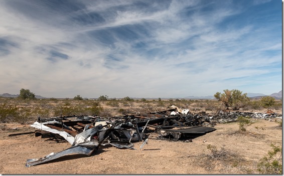
burnt trailer Saddle Mt BLM Tonopah AZOn the road back to pavement we saw the remains of an obviously burned trailer with frame and stuff everywhere. Must have been relatively recent as there’s even books and paper strewn nearby.  I won’t even burn candles for fear of starting a fire in my RV.  They burn so quickly, you don’t have time to kiss your ass goodbye.

Saguaro desert mt clouds Saddle Mt BLM Tonopah AZ

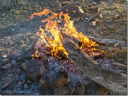
campfire Saddle Mt BLM Tonopah AZThat night we had a campfire under a pretty sunset and shared stories.  The next several nights, and days, were far too windy for fires.  Even with clouds the camper battery stays charged by solar.  Now to figure out why the 12v socket doesn’t always produce power.  It’s always something.

desert mts sunrise clouds Saddle Mt BLM Tonopah AZ

desert mts sunrise clouds Saddle Mt BLM Tonopah AZSunrise

Discovered the downside of Saddle Mountain, wind from the north, or even not much wind, brought flies.  Lots of flies from the nearby chicken ranch.  One morning we could even smell chicken shit.  Makes me glad to have a screen door but still have to be fast going in and out.  And even then, have a fly swatter ready.

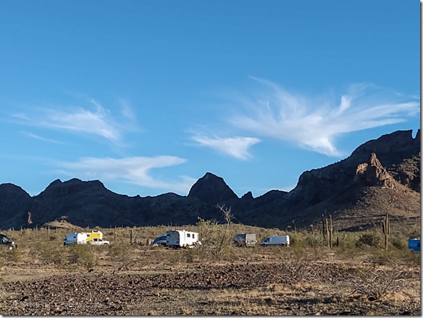
van gathering desert mts Saddle Mt BLM Tonopah AZA home-made yellow truckcamper arrived and set up a respectable distance away.  Then a van pulled in, followed by a skoolie, and another van, and another van.  I was thinking, oh no, not another van-life gathering like at Kofa.  Yet this was only about ten total over a couple days and pretty quiet except for some evening music around the campfire.

Saguaro desert mt sunset Saddle Mt BLM Tonopah AZBrutal wind blew the clouds and flies away making the sunny and comfortable 60° rather intolerable to be outside.  Not sure I could have gotten the door open anyway.  Even inside the rocking got old.  I’m good with my laptop and phone charged, two forms of entertainment other than reading a good book.  In fact, I just finished reading a Robert Heinlein, To Sail Beyond the Sunset, that got missed in the early 2000s.

desert mts sunset moon Saddle Mt BLM Tonopah AZOf course when the skies clear the overnight temperature drops to what I call chilly and by morning, downright cold at 34-38°.  I know, that’s nothing compared to many of you living in northern, eastern, and even southeastern states these days.  I’m sorry.  Us Arizonans do tend to rub it in a bit when our winter highs reach anything over 60°, otherwise we’re wearing down jackets.  Maybe I shouldn’t tell you that this week is predicted for high 70s.  Sigh…..
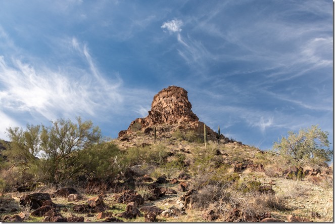
mt last light Saddle Mt BLM Tonopah AZI’m not the only living thing slowed by cool/cold temperatures.  Don’t see much wildlife other than a couple Ravens once in a while.  One night at the campfire an owl silently flew over and landed briefly in our nearby Saguaro before swooping off for its next meal.  While out gathering firewood under a warm afternoon sun, motion caught my eye as two ground squirrels chased each other from creosote bush to bush.  Pausing to stand briefly, belly faced to the sun’s warmth, before disappearing back into one of the many burrow holes.  The ground must be warming and waking up life in the desert.

Gaelyn mt Saddle Mt BLM Tonopah AZWith temperatures rising, Joann headed a little further north.  Not me.  I’m not ready to give up the desert apricity.  But the flies chased me from Saddle Mountain.  Plus it was time to get some groceries and fill up propane.  So off to Quartzsite.  Mostly, I’m starting to think about a full moon rise over the Kofa Mountains.

Note:  I do not call petroglyphs or pictographs rock art.  A wise native man once said to me, “These marks on the rock are not art.  My people have art.  These are stories.”  Sadly, some of the stories have been lost to time.

bumper collection Saddle Mt BLM Tonopah AZbumper collection

Push my buttons!

  • Click to share on Facebook (Opens in new window) Facebook
  • Click to share on X (Opens in new window) X
  • Click to share on LinkedIn (Opens in new window) LinkedIn

Like this:

Like Loading...
Arizona, Places I've been, rock art, Saddle Mt, Sonoran desert, United States Archaic people, desert, petroglyphs, rockhound 43 Comments
← Older posts

Hi, I’m Gaelyn, the Geogypsy

I retired after 29 summer seasons as a Park Ranger, traveling solo for 40+ years. My passions include travel, connecting to nature, photography, and sharing stories.

I started exploring US National Parks in 1977 and 20 years later became a seasonal Park Ranger.  I’ve lived full-time in a RV for 30 years working summers and playing winters.  I’m still trying to figure out what I want to be when I grow old, other than grow up.

Let’s share our stories.  Here’s more of mine…

My wheeleastate

I am currently…

…boondocking somewhere in southern Arizona.  In the area, give a shout.

Geogypsytraveler on YouTube

Follow my journey on YouTube. Just click the pic. Hope you’ll like, share, and subscribe.

Click image for 7 minute documentary (Password “geogypsy” lowercase)

Making the Gypsy documentary is a story of its own.  Click below for the rest of the story.

Living nomadically & connecting to nature documentary

Subscribe to Blog via Email

Enter your email address to subscribe to this blog and receive notifications of new posts by email.

Photos available for sale include prints, greeting cards, coffee mugs, tote bags, phone cases and more

Reflected Wave 24X16 metal print under $100

Custom Coffee Mugs

Many items to choose from including prints

The Last Blast 24 x 16″ metal print under $100

Need a signal boost? When I boondock on public lands sometimes signal is weak or intermittent and a booster helps. Click the pic to visit WeBoost.

Connecting to nature and the rest of the world too.

Please contact me for photo purchases not seen at GLOlmsted Photography

Order fulfillment is by Fine Art America. If you’re not happy with your purchase, for any reason, simply return it within 30 days, and you’ll receive a full refund of the purchase price.

Why read Geogypsy?

The gypsy life spring-summer 1998 - "You were a real pioneer. RV'ing before it was cool." ...Yogi

How do you process photos? - “Your photographs create an Emotional feeling in the viewer...that they become One with You.” …Cindy

Life’s transitions between travel and work play - "I know you love your job as much as you love travel -- it shines through all your posts." ...Sallie

Lions at Kruger National Park - “Wonderful post, thank you. I was hooked start to finish!” … Peter B

11 lessons looking back 2013 - “A great post -- made me think, made me smile, made me want to cry." ...Sallie

Wildlife video Kruger National Park - “Gorgeous, this makes me want to go straight to South Africa now.” … Ayngelina

Living nomadically & connecting to nature documentary - “What an experience you had and gave to the "crew." Sometimes I think you don't realize how unique and inspiring you are.” …Alan

Search

Popular Posts

1. Prioritize the well-being of nature over photography. 2. Educate yourself about the places you photograph. 3. Reflect on the possible impact of your actions. 4. Use discretion if sharing locations. 5. Know and follow rules and regulations. 6. Always follow Leave No Trace principles and strive to leave places better than you found them. 7. Actively promote and educate others about these principles

Categories

Archives

Sites I follow, read & recommend

  • A Full-time Life
  • A Yankee in Belgrade
  • Bob's Eyes
  • Box Canyon Blog
  • Camels and Chocolate
  • Dawns bloggy blog
  • In the Direction of Our Dreams
  • Jane in her infinite wisdom
  • Janie and Steve, Utah Trails
  • Kathie's Birds
  • Las Adventuras
  • Memorable Meanders
  • Oh, The Places They Go
  • On the Road Abode
  • Port Elizabeth Daily Photo
  • Stillhowlyntravels
  • Take to the Highway
  • Technomadia
  • the good luck Duck
  • Travel with the Bayfield Bunch
  • Wandering Earl
  • Wheeling It
  • Yogi's Den

Caught in a Slot 9×12 canvas print under $50

If you don’t like what’s going on in your government, contact your Congress

Directory of Senators

Directory of Representatives

Lijit

© Copyright 2008-2024. Geogypsytraveler.com
%d