• Home
  • About Geogypsy
    • Herstory
    • Parks where I’ve worked
  • Places I’ve been
    • United States
      • Arizona
        • Antelope Slot Canyon
        • Casa Grande Ruins National Monument
        • Colossal Cave Mountain Park
        • Flagstaff
        • Glen Canyon National Recreation Area
        • Grand Canyon National Park
          • Grand Canyon National Park North Rim
          • Grand Canyon National Park South Rim
          • Toroweap
        • Havasu Canyon
        • Horseshoe Bend
        • Jerome
        • Kaibab National Forest
        • Lee’s Ferry
        • Meteor Crater
        • Navajo Bridge
        • Oak Creek Canyon
        • Painted Desert
        • Pipe Springs National Monument
        • Prescott
        • Quartzsite
        • Saguaro National Park
        • Sedona
        • Sunset Crater Volcano National Monument
        • Vermilion Cliffs
        • Walnut Canyon National Monument
        • Wupatki National Monument
        • Yarnell
      • California
        • Anzaberrego
        • Bakersfield
        • Death Valley National Park
        • Joshua Tree National Park
        • Redwoods NP
        • Salton Sea
        • Yucca Valley
      • Colorado
        • Mesa Verde National Park
      • Florida
      • Illinois
        • IL River
        • Morton Arboretum
        • Starved Rock State Park
      • Michigan
      • Nevada
      • New Mexico
      • Oregon
        • Crater Lake NP
        • Mt Hood
        • Oregon Caves National Monument
      • Texas
        • Alpine Texas
        • Padre Island
        • Port Isabel
        • Rio Grande Valley
      • Utah
        • Brian’s Head
        • Bryce Canyon National Park
        • Buckskin Gulch
        • Cedar Breaks National Monument
        • Cedar City
        • Coral Pink Sand Dunes State Park
        • Dixie National Forest
        • Grand Staircase Escalante National Monument
        • Johnson Canyon
        • Kanab
    • World Travels
      • Germany
      • Mexico
      • South Africa
  • Tours
  • Photography
  • Work with Me
    • Sponsors
  • Contact
Geogypsy
Menu
  • Home
  • About Geogypsy
    • Herstory
    • Parks where I’ve worked
  • Places I’ve been
    • United States
      • Arizona
        • Antelope Slot Canyon
        • Casa Grande Ruins National Monument
        • Colossal Cave Mountain Park
        • Flagstaff
        • Glen Canyon National Recreation Area
        • Grand Canyon National Park
          • Grand Canyon National Park North Rim
          • Grand Canyon National Park South Rim
          • Toroweap
        • Havasu Canyon
        • Horseshoe Bend
        • Jerome
        • Kaibab National Forest
        • Lee’s Ferry
        • Meteor Crater
        • Navajo Bridge
        • Oak Creek Canyon
        • Painted Desert
        • Pipe Springs National Monument
        • Prescott
        • Quartzsite
        • Saguaro National Park
        • Sedona
        • Sunset Crater Volcano National Monument
        • Vermilion Cliffs
        • Walnut Canyon National Monument
        • Wupatki National Monument
        • Yarnell
      • California
        • Anzaberrego
        • Bakersfield
        • Death Valley National Park
        • Joshua Tree National Park
        • Redwoods NP
        • Salton Sea
        • Yucca Valley
      • Colorado
        • Mesa Verde National Park
      • Florida
      • Illinois
        • IL River
        • Morton Arboretum
        • Starved Rock State Park
      • Michigan
      • Nevada
      • New Mexico
      • Oregon
        • Crater Lake NP
        • Mt Hood
        • Oregon Caves National Monument
      • Texas
        • Alpine Texas
        • Padre Island
        • Port Isabel
        • Rio Grande Valley
      • Utah
        • Brian’s Head
        • Bryce Canyon National Park
        • Buckskin Gulch
        • Cedar Breaks National Monument
        • Cedar City
        • Coral Pink Sand Dunes State Park
        • Dixie National Forest
        • Grand Staircase Escalante National Monument
        • Johnson Canyon
        • Kanab
    • World Travels
      • Germany
      • Mexico
      • South Africa
  • Tours
  • Photography
  • Work with Me
    • Sponsors
  • Contact

Tag: rainbows

24 August 2022

Intermittent Arizona monsoon rain around my valley

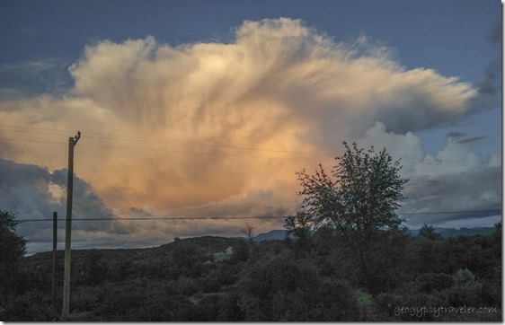
view E sunset cloud Skull Valley AZMy heart just isn’t into writing a blog post.  I can’t even imagine why you’re here, reading this.  Week after week of Arizona monsoon rain.  Hope you enjoy the photos as much as I enjoy making them.  I suspect a high percentage of readers only come for the photos anyway.  That’s OK by me.  Thanks.
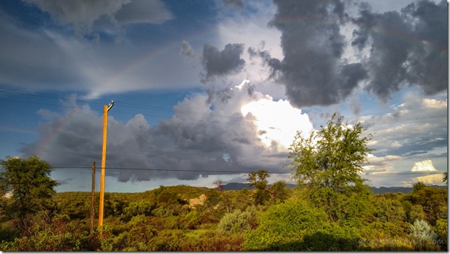
view E storm clouds rainbow Skull Valley AZI’ve come to the conclusion, that by hook or crook, I will NOT be on the ranch next year during July and August monsoon rain.  Wasn’t the original plan for this year, but shit happens.
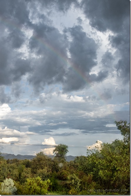
rainbow view E SKull Valley AZI have almost seen a full year in Skull Valley.  So, I’m telling myself I was meant to be here for the heat, followed by monsoon, humidity, and storm energy.
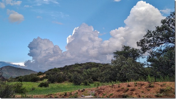
view W Cumulus clouds Skull Valley AZI’ve had endless time to shoot video, time-lapse, and series photos of rapidly changing cloud patterns.
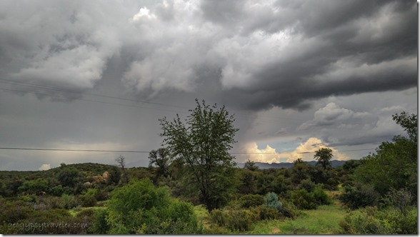
view E stormy sky Skull Valley AZInstead of thinking lazy, it’s about learning at a slower pace.  Some days just move slower than others.  The storms are exciting.
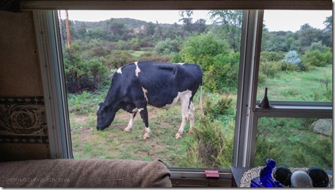
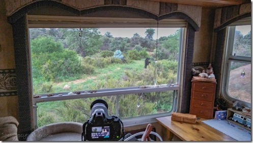
camera in window cow butt view E Skull Valley AZ

cow thru window Skull Valley AZI’ve tried to capture lightning with the camera set on tripod and timer but instead I caught cows.
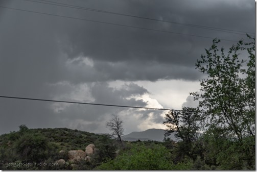
timed storm view E Skull Valley AZ

timed storm view E Skull Valley AZ

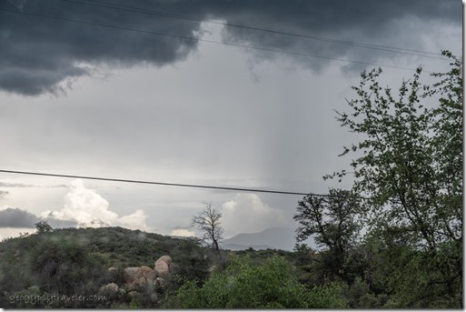
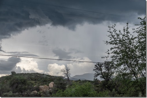
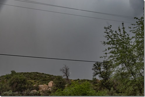
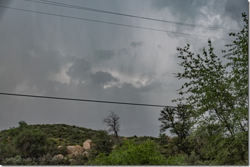
timed storm view E Skull Valley AZAnd ended up with 70 images of the same view under a changing sky…
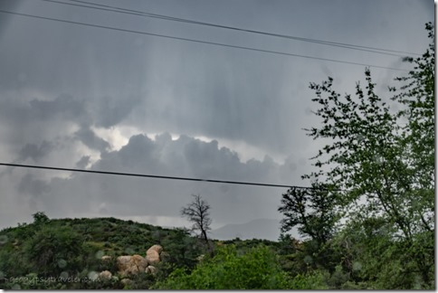
timed storm view E Skull Valley AZ

timed storm view E Skull Valley AZ

timed storm view E Skull Valley AZ…then selected six at five minutes apart for a fun series almost like a time-lapse.  But no lightning.
stormy sky view E Skull Valley AZ

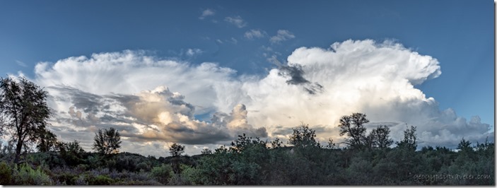
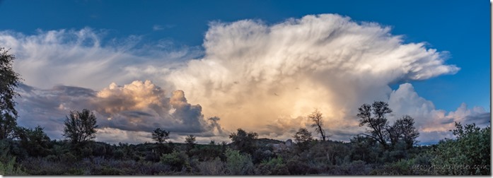
reverse sunset mushroom mammatus clouds Skull Valley AZ PanoMost of my recent photos are taken from inside because the bugs eat me up and I swell and itch something terrible.  They even get me in the house.  After a long day inside putting out a video about Watson Lake I ventured out for some panoramic shots that didn’t include the power pole or lines.  But not for long, as our tall damp grasses and weeds offer perfect breeding ground for those aggressive skeeters.
view E sunset cloud Skull Valley AZ

view E sunset cloud Skull Valley AZ

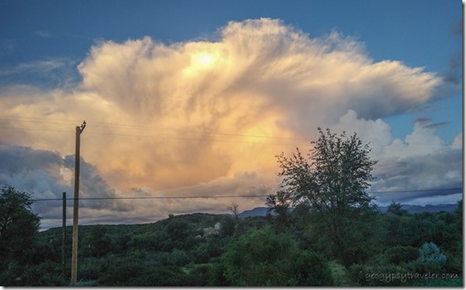
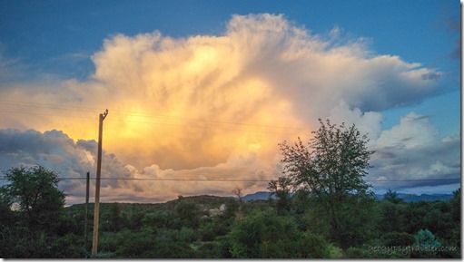
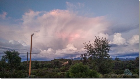
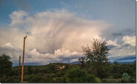
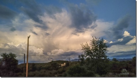
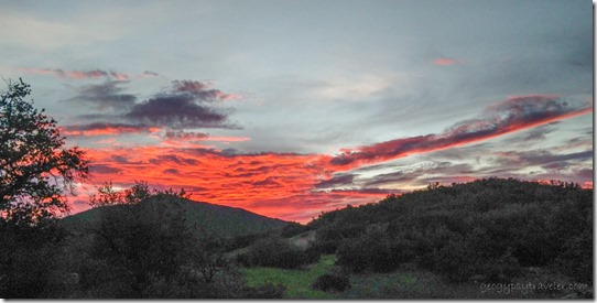
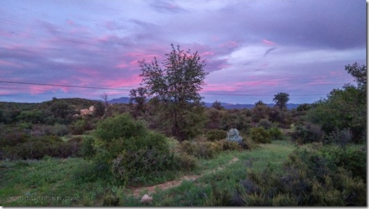
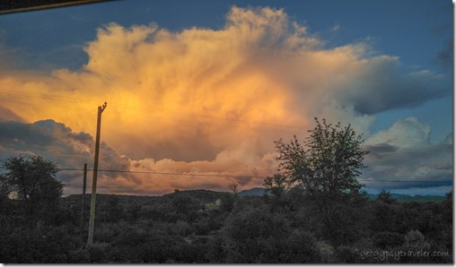
view E sunset cloud Skull Valley AZThe sunset was magnificent and I took another series of shots this time on the phone over 35 minutes of dramatic change.

view E sunset cloud Skull Valley AZ

view E sunset cloud Skull Valley AZ

view E sunset cloud Skull Valley AZShould have taken time-lapse.

Now that I’ve figured it out, I’m hooked on time-lapse.  Once the camera is set up I can mostly ignore it and work on the computer.  So instead of gazing endlessly at the cumulus clouds billow and blow in a hypnotic dance, I watch later in accelerated time.  I’ll use those in a video about Arizona monsoon rain.
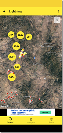
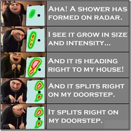
lightning strikes 8-17-22storm splits around my door step

Downloaded a lightning tracker app that mimics the radar storm patterns that most frequently miss my valley and move over the mountains.
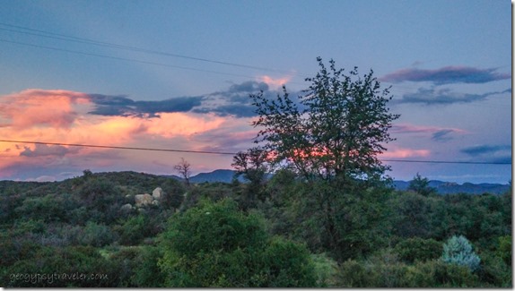
reverse sunset clouds Skull Valley AZMonsoon rain makes for colorful sunsets.
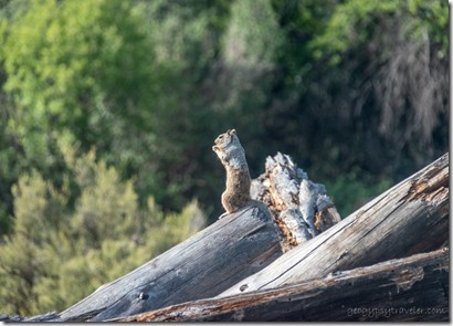
Gray squirrel Skull Valley AZI moved the trail cam thinking I’d catch the playful squirrel family on the wood pile jungle gym.  The woodpile is too busy of a pattern for background, and the squirrels are small, though entertaining to watch through a window.

view W sunset clouds Skull Valley AZWest Brushy Mt

view E sunset clouds Skull Valley AZEast Bradshaw Mts

Not all the rain misses me.  Sometimes I see lightning less than a mile or two away and I’ve felt the thunder right overhead.  I love that energy and am glad to be well grounded on rubber tires.
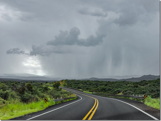
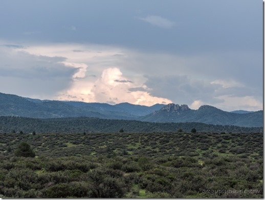
Brushy Mt sun shaft clouds Iron Springs Rd Skull Valley AZRecognize Brushy Mt?

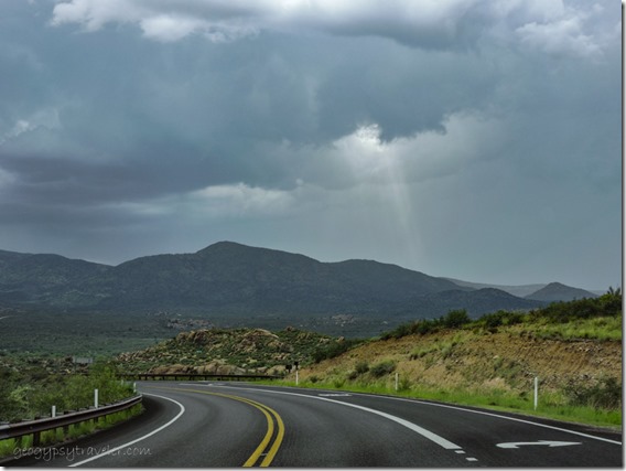
raining view S clouds Iron Springs Rd Skull Valley AZI seem to experience the heaviest of monsoon rain on town days in Prescott.  The drive home showed some ominous skies.
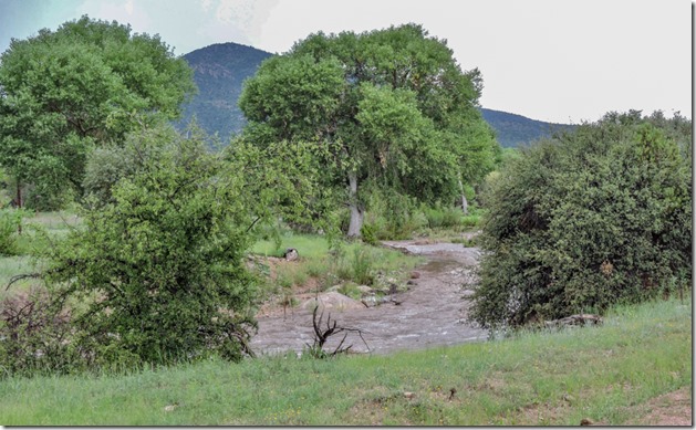
water flow Skull Valley washI’d never seen Skull Valley wash flow let alone churn it’s muddy waves.  Made me wonder if my driveway wash would be passable.
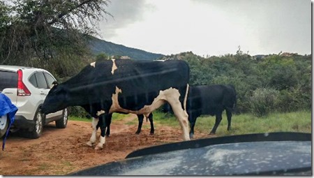
cows in driveway Skull Valley AZRan into a cow jam in the driveway as they helped themselves to my neighbors load of expensive hay for her horses.  Thankful to drive across my merely damp wash made it easier to unload the days spoils.
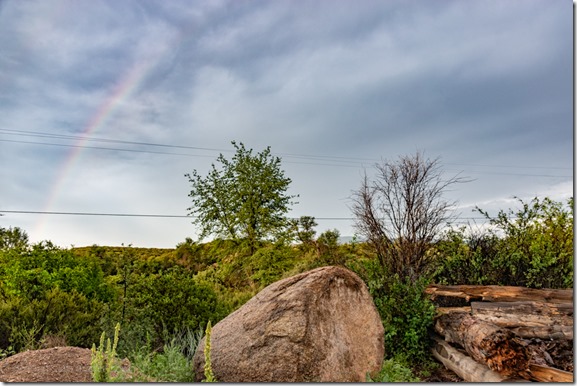
reverse sunset Bradshaw Mts Skull Valley AZ

view NE rainbow Skull Valley AZThose heavy clouds dropped only gentle rain and a streak of sunshine lit a brief gift to end the day.
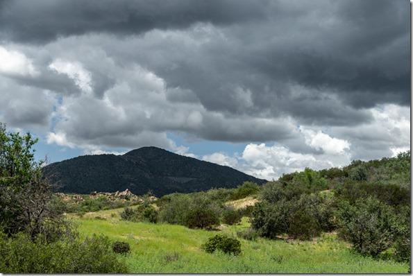
view W Brushy Mt storm clouds Skull Valley AZInteresting shift in the typical summer monsoon rain pattern from the south/southwest.
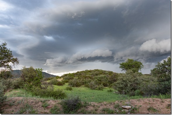
storm clouds view W Skull Valley AZRecent storms coming from the north hit hard in my valley.  I lost count of the lightning and thunder.  The noise and energy was palpable.
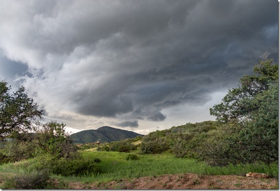
storm clouds view W Skull Valley AZSo I set the phone to video, pointed at a rather bleak gray view, and recorded the sound.  Wish I could capture the smell and energy vibrations of this monsoon rain.
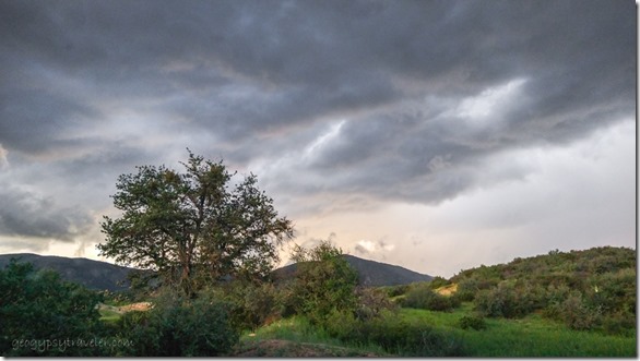
view W presunset clouds Skull Valley AZDoes this shift mean Autumn is on its way?

OK, I feel better now.  I hear rumbles coming and there’s currently no mosquitoes in the house.

Push my buttons!

  • Facebook
  • Twitter
  • LinkedIn

Like this:

Like Loading...
Arizona, monsoon, photography, Places I've been, Skull Valley, United States lightning, monsoon, monsoon rain, photography, rainbows, thunder, time lapse, video 20 Comments
21 July 2021

Monsoon rains visit the Southwest

It started a little over a week ago at Bryce Canyon with a tease, some dark clouds and just a few drops but within a few days monsoon rains began to fall and it almost felt like the right pattern, rain between 11am and 11pm coming and going often with a little sunshine in between.  I could almost feel my dry skin begin to plump.  Of course anything over 30% humidity feels sticky in the Southwest.  Visitors from the East still suffer from dry cracking lips as they relish the lack of humidity at 80-90°.  It’s a dry heat you know.

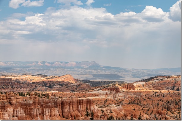
hoodoos valley Aquarius Plateau haze clouds Bryce Canyon National Park UtahAfter a couple rather lazy days off I returned to work on an extremely quiet Saturday to an hour at the information desk then presented the 11 am Hoodoo geology talk by Sunset Point overlook.  After lunch I roved the rim for about three hours chasing patches of shade with temps in the low 90s.  Came home beat and exhausted so took a two hour nap, woke at ten and went right back to bed sleeping round the clock.  Stomach was upset so didn’t even eat dinner.

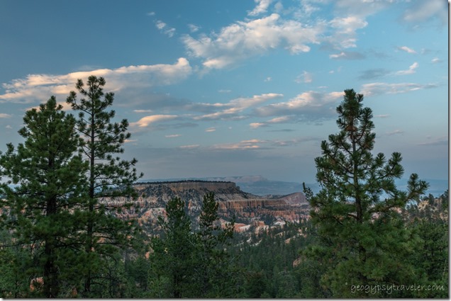
trees last light Pink Cliffs Aquarius Plateau sunset clouds Bryce Canyon National Park UtahSunset

Sunday I didn’t start work until 12:15 and breakfast was comfort food, cinnamon toast and bacon.

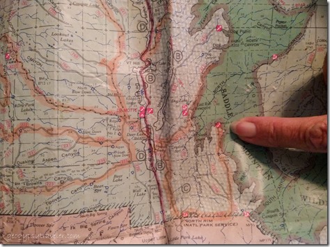
pointing to Marble View on mapKnowing I worked only two more days followed by four days off I started to formulate a plan to camp on the Kaibab Plateau in the national forest north of the North Rim Grand Canyon.  The Kaibab National Forest had been closed to recreation for a couple weeks then monsoon rains began and it reopened, but still no campfires.  That’s fine by me.  Destination, Marble View, only 14 miles from pavement on usually decent gravel road, a favorite place to camp, and hopefully watch monsoon rains.  Sent a message to a friend who lives in the triple-digit heat of St. George inviting her to join me and received an immediate YES.  I felt my mood lighten as I made it through the day with two shifts at the information desk and my 9pm evening program about Wildlife at Bryce, a rather large group with several precocious children asking endless questions.  Went home a good kind of tired.

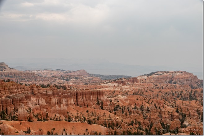
hoodoos haze Bryce Canyon National Park UtahCompare to first shot

The next day after two hours at the information desk followed by a bit of time checking deleting emails, I presented the 2pm Hoodoo geology talk and roved 2 1/2 hours along the rim at 88° mostly talking about the smoky haze, so thick could barely see the Aquarius Plateau 14 miles east.  Hard to say where from with so many fires burning in the west.  I was fried and left two hours early, sick leave.  (Remember, I’m burning up hours so any opportunity without messing up anybody’s schedule I take sick leave.)  Clouds all day teased monsoon rains that didn’t fall until early evening and then only briefly.  It was an early to bed night for an early next day.

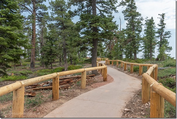
new fence Yovimpa Point trail Bryce Canyon National Park UtahNew fence because cement isn’t enough to keep people on the trail to Yovimpa Point

And that was Tuesday, my one day early Friday, before a four-day weekend away.  I opened the visitor center wondering if 70% chance of monsoon rains would stop my day at Yovimpa Point, a favorite place to be.  But the rain held off with only a handful of drops and I wore a light jacket until well after noon at the southern end of the plateau and 9100 feet.  Lots of mini geology and fire ecology talks. The smoky haze obscured Navajo Mountain 90 miles to the southeast and almost erased the North Kaibab 100 miles south where I hoped it wouldn’t be smoky the next day.  I took off about an hour early to pack the camper and later a lovely light rain fell, perfect and pleasing with faint thunder in the distance.

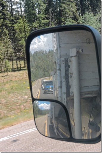
side mirror view Lynda SR67 South Kaibab National Forest ArizonaFinally, Wednesday morning I finished the last minute packing and left about 9:30.  An hour and a half later I was buying grocery treats in Kanab and met several friends for lunch at my favorite Escobars Mexican Restaurant.  Then Lynda and I caravanned up onto the Kaibab with an important stop at Jacob Lake Inn for cookies.  One more stop on the way to camp at the North Rim Country Store where I hoped to see Grand Canyon friend Robert who now works there but it was his afternoon off.

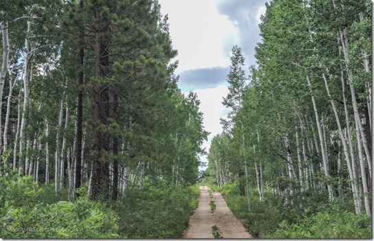
trees clouds FR610 Kaibab National Forest ArizonaForest Road 610

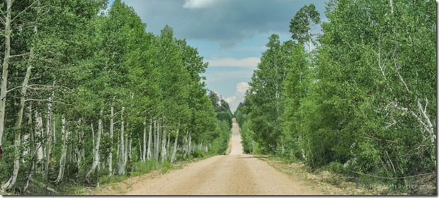
trees clouds FR219 Kaibab National Forest ArizonaForest Road 219

Marble View FR219 Kaibab National Forest ArizonaTo Marble View

Finally, after an hour drive on the rather rough gravel we pulled into Marble View about 4pm.  Hadn’t seen another vehicle on the drive and had the place to ourselves.  Yippee!!

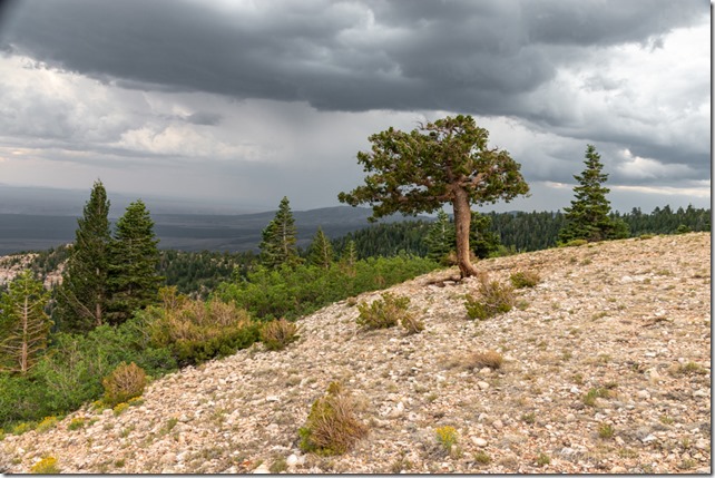
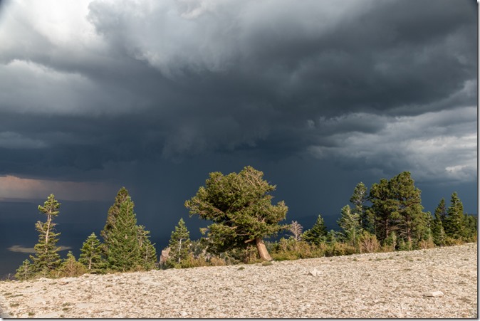
trees valley storm clouds Marble View Kaibab National Forest Arizona

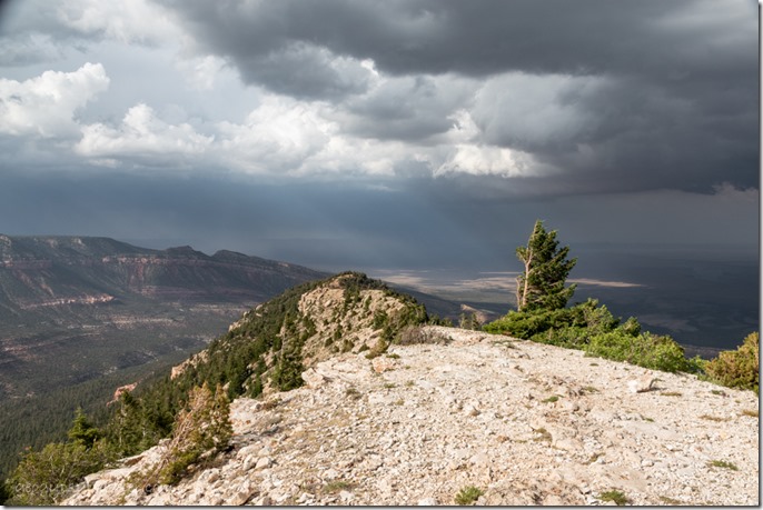
the point trees valley sunrays clouds Marble View Kaibab National Forest ArizonaThen about 30 minutes later as we’d just relaxed into our chairs with a glass of wine to watch the stormy sky a jeep pulled in.  Turned out to be friends from the North Rim who knew I’d be camped there.

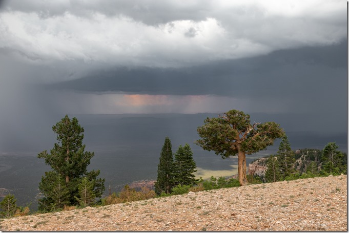
trees valley rain storm clouds Marble View Kaibab National Forest Arizona

trees storm clouds Marble View Kaibab National Forest ArizonaWe chatted and wandered and looked for fossils before the monsoon rains chased everyone inside our respective vehicles.

trees valley storm clouds Marble View Kaibab National Forest Arizona

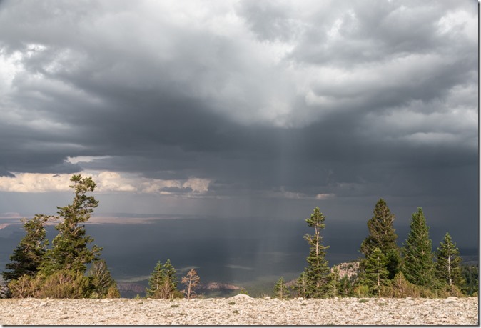
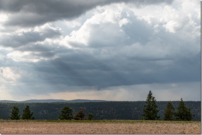
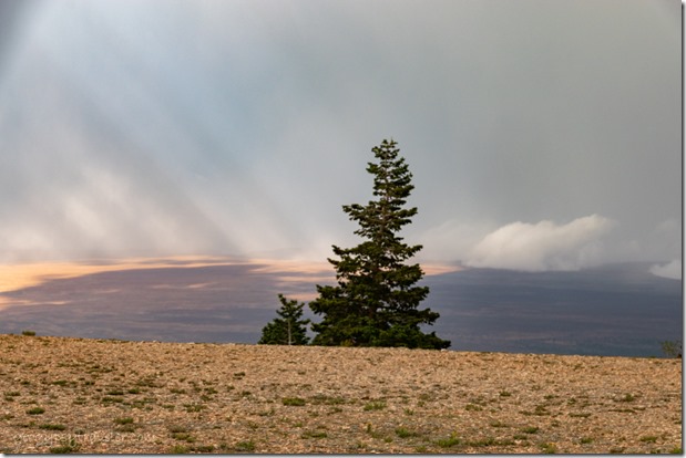
trees clouds crepuscular rays Marble View Kaibab National Forest ArizonaThe sky put on quite a show requiring quite a few ins and outs of the camper between rain drops.  Yet most of the monsoon rains fell below our high camp sending flood waters down stream.  Sadly a life was lost in flash flood from a side canyon along the Colorado River.

tree rainbow patch Marble View Kaibab National Forest Arizona

trees rainbow colors Marble View Kaibab National Forest Arizona

trees rainbow colors Marble View Kaibab National Forest Arizona

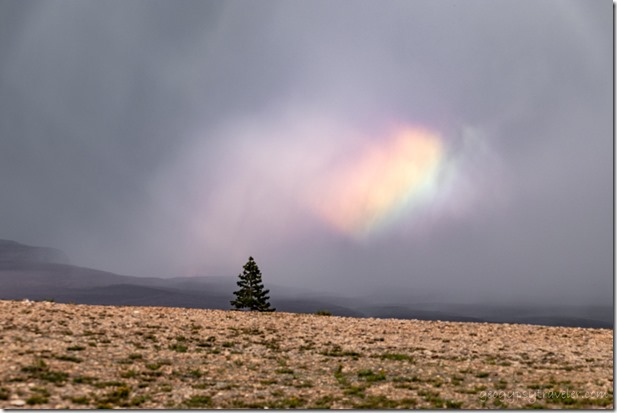
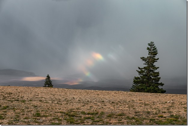
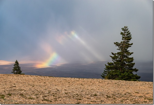
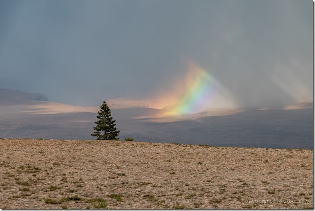
11d DSL_7044lewfbr trees rainbow colors Marble View Kaibab NF AZ fb gfb nwp as g-2Light streamed through breaks in the clouds and brought unusual patches of rainbows.

trees sunrays inversion clouds Marble View Kaibab National Forest Arizona

trees inversion clouds Marble View Kaibab National Forest Arizona

trees valley Vermilion Cliffs inversion clouds anticrepuscular rays Marble View Kaibab National Forest ArizonaThe temperature dropped and so did the clouds causing inversion in Marble Canyon.

 trees light shadow Marble Canyon Marble View Kaibab National Forest ArizonaLight in Marble Canyon where the Colorado River flows

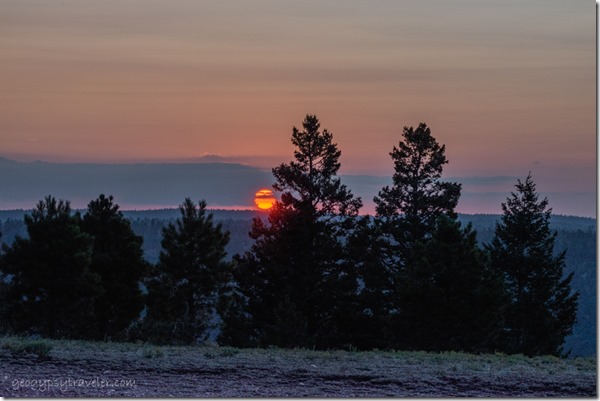
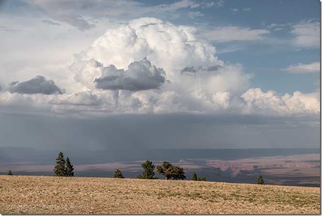
trees sunset clouds Marble View Kaibab National Forest ArizonaRained on and off most of the night and into morning then after noon stopped and the big fluffy clouds made for delightful shadow play across the land plus a semi-colorful sunset.

trees Marble Canyon Echo Cliffs Marble View Kaibab National Forest ArizonaLynda had to leave Friday and I watched more storms come and go with lots of cloud play.  Two cars came out but didn’t stay.  A Forest Service guy stopped and told me about the FR22 and 462 wash out, way to the west and low down like on the way to Snake Gulch.  No worries where I was except for a couple puddles on the Forest Road (FR) back to pavement.

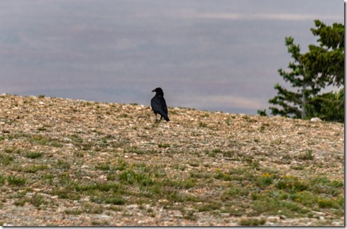
Raven Marble View Kaibab National Forest ArizonaMost of my company included Ravens hopping around eating insects and they are fun to watch as they waddle when they walk.

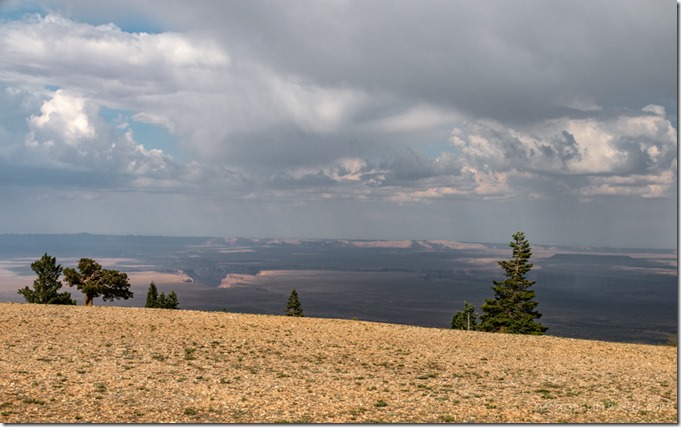
trees Marble Canyon Echo Cliffs clouds Marble View Kaibab National Forest ArizonaRained lightly several times during the day with intermittent sun patches.

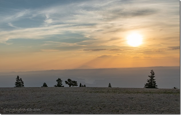
morning light trees House Rock Valley Marble View Kaibab National Forest ArizonaI had to leave Saturday but didn’t rush.  The sky was back to a smoky haze over the House Rock Valley below to the east.  I really thought all the rain would have cleared the air.  I love this summer view as much as the Sonoran Desert in winter.

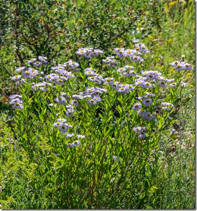
lavendar Fleabane flowers FR219 Kaibab National Forest Arizona

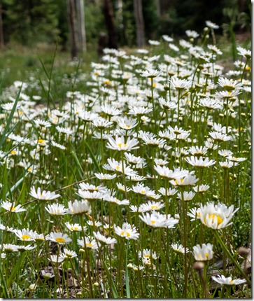
white daisy flowers FR610 Kaibab National Forest Arizona

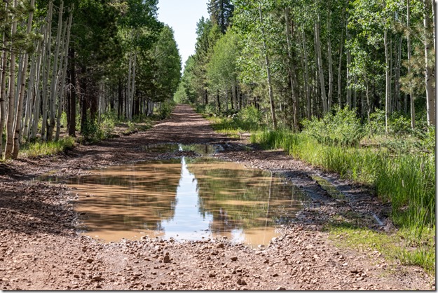
tree reflection FR219 Kaibab National Forest Arizona

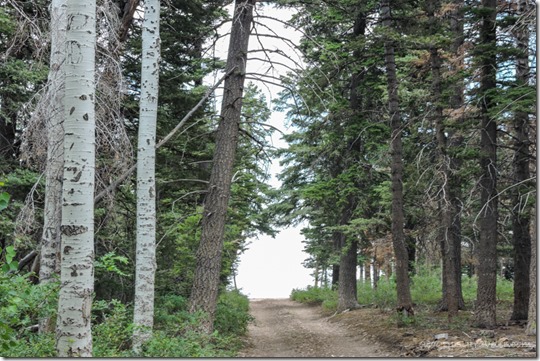
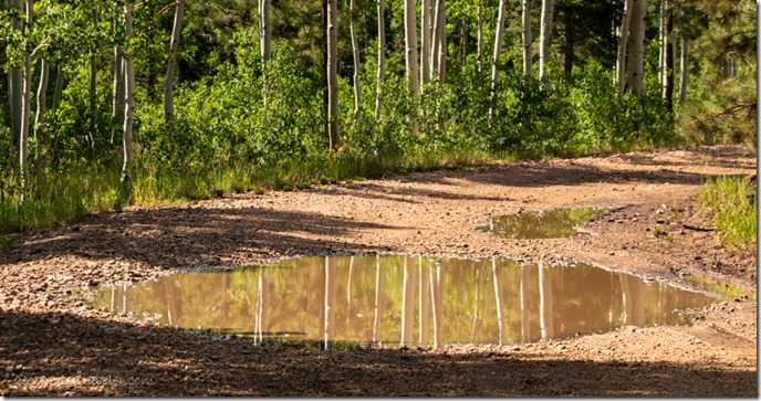
Aspen trunks reflection FR219 Kaibab National Forest ArizonaTook over an hour to drive the 14 miles of gravel because I kept stopping to take photos of the flowers and puddle reflections.

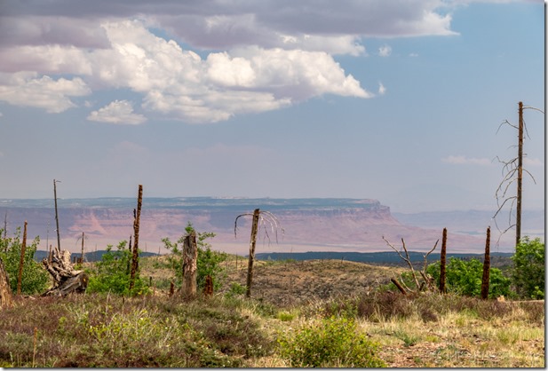
2006 Warm Fire view E Vermilion Cliffs clouds SR67 Kaibab National Forest ArizonaVermilion Cliffs from SR67 Kaibab National Forest

Then another stop at the North Rim Country Store to visit with Robert and another stop at Jacob Lake Inn for cookie orders from Bryce.  Lunch and a few more groceries in Kanab and finally home six hours later to unpack.

A fantastic four-day vacation where Marble View never disappoints, especially during monsoon rains.


Linking to Skywatch Friday

Push my buttons!

  • Facebook
  • Twitter
  • LinkedIn

Like this:

Like Loading...
Arizona, Bryce Canyon National Park, Kaibab National Forest, Marble View, Places I've been, United States, Utah camping, monsoon, rain, rainbows 34 Comments
16 July 2019

Bryce Canyon sunsets, storms, rainbows – waiting for monsoon

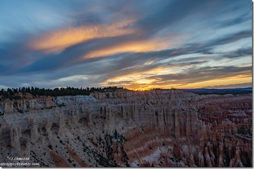
hoodoos amphitheater trees sunset clouds from Bryce Point Bryce Canyon National Park UtahI really have to make an extra effort to go out for Bryce Canyon sunsets because when I do, it’s always more than worth it.

last light hoodoos cliffs valley trees clouds from Bryce Point Bryce Canyon National Park UtahSeems like I don’t get out of my RV home much after a full 9+ hour day of work.  Or sometimes my schedule has me working through sunset and I’m not at the rim.  I’ve been working quite a few late shifts.

hoodoos amphitheater sunset clouds from Bryce Point Bryce Point Bryce Canyon National Park UtahBack in June I took a chance on Bryce Point for sunset.  Considering the entire amphitheater basically faces east it hardly makes sense to have Sunrise and Sunset overlooks a half-mile walk apart and both facing east.  (Who names these vistas anyway?)  Yet Bryce Point hooks around enough to provide a northwest to east view.

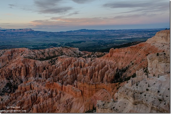
hoodoos valley plateaus reverse sunset clouds from Bryce Point Bryce Point Bryce Canyon National Park UtahI’d been sending visitors there for over a month and it proved to be right on.  Yet it’s always a luck of the cloud draw.

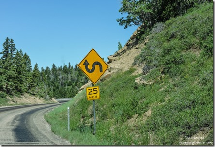
curve sign SR14 Dixie National Forest UtahShopping last week took me to Cedar City via a pretty drive on SR14, more on that later.

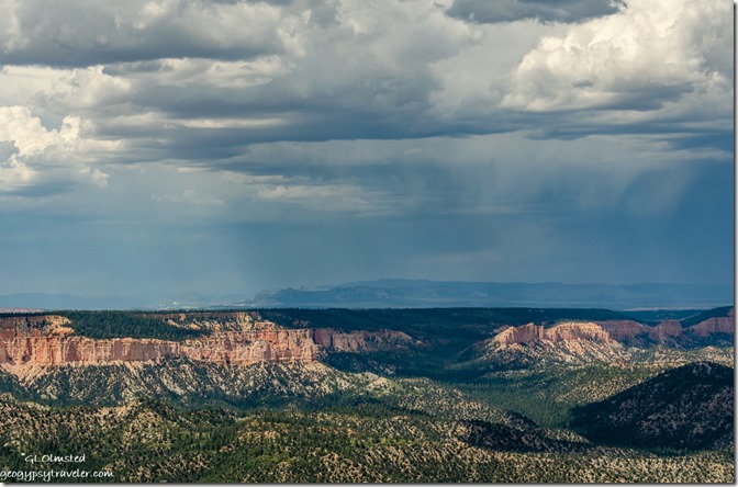
stormy sky east of Rainbow Point Bryce Point Bryce Canyon National Park UtahOne day last week under cloudy and possibly stormy skies my work schedule took me to the end of Bryce’s scenic drive to Rainbow Point.  Presented two almost back-to-back 20-minute programs about the Grand Staircase geology.

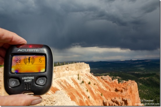
lightning detector stormy view Southeast from Yovimpa Point Bryce Point Bryce Canyon National Park UtahYovimpa Point

Carried a small lightning detector that made noise and varied from 15 miles (no worries) to six miles which is a concern.  I do love the energy of a good storm.  However, I don’t want to be too close so also warned visitors.

light & shadow amphitheater from Rainbow Point Bryce Point Bryce Canyon National Park UtahOnly dropped a few sprinkles.  So not sure if it counts as beginning of monsoon season.  I’d be delighted if a good rain would wipe out the obnoxious biting gnats.   I seem to be having an allergic reaction with much itching, swelling, some blisters and bruises.  Just can’t bring myself to use bug spray.  Not sure which is worse.
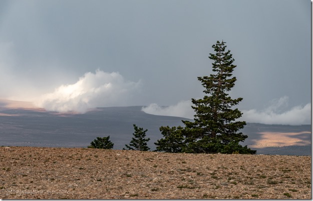
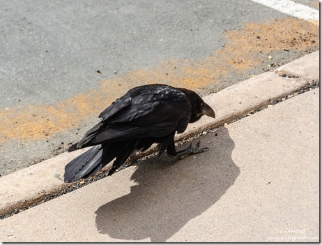
Raven Rainbow Point Bryce Point Bryce Canyon National Park UtahAn exceedingly pesky Raven in the parking lot allowed visitors within only a few feet in the obvious hope of food.  Of course not a good thing, so I used the teaching moment before hazing it away.

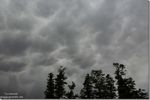
trees mammatus clouds Rainbow Point Bryce Point Bryce Canyon National Park UtahBecause of the cloud cover scopes didn’t go that night so I went home early.

trees rainbow sunset clouds from RV Bryce Point Bryce Canyon National Park UtahI should have gone to the rim for sunset with a rainbow thrown in.  Instead I watched from my windows.

Sinking Ship valley light & shadow Aquarius Plateau clouds Bryce Point Bryce Canyon National Park Utah

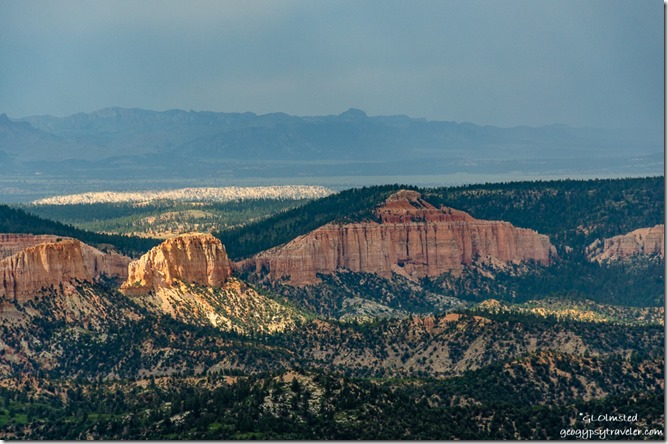
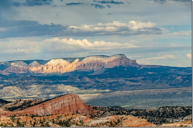
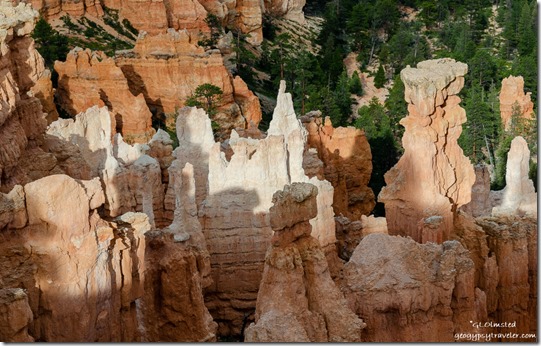
Light & shadow hoodoos Bryce Point Bryce Canyon National Park UtahThe next night, before my evening program at the lodge, I roved briefly on the rim and caught some of the westering light on the Aquarius Plateau and the hoodoos down below.  Clouds continued to tease with dramatic skies and little rain.

After a full day of programs and closing the visitor center I came home, quickly changed, and went back out to Bryce Point for sunset.

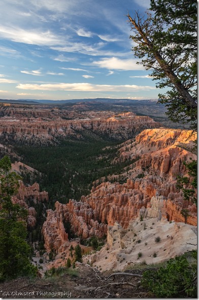
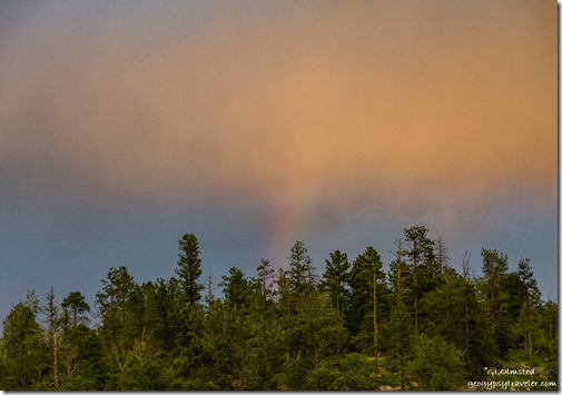
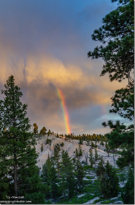
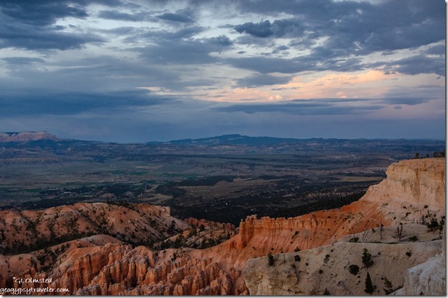
trees rainbow sunset clouds Bryce Point Bryce Point Bryce Canyon National Park UtahOn the drive I saw a rainbow and hurried to park and shoot it without breaking the speed limit too much.  Under the late evening light the white limestone hills almost look like snow.

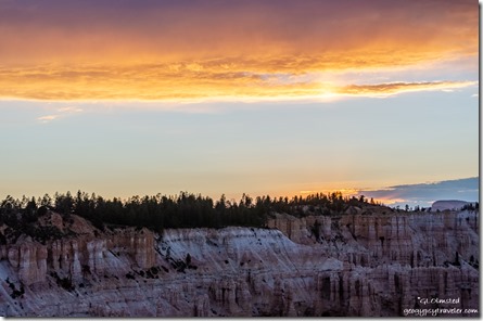
sunset over rim from Bryce Point Bryce Point Bryce Canyon National Park UtahAt first the actual sunset didn’t look like much.

reverse sunset from Bryce Point Bryce Point Bryce Canyon National Park UtahI preferred the reverse colors and light.

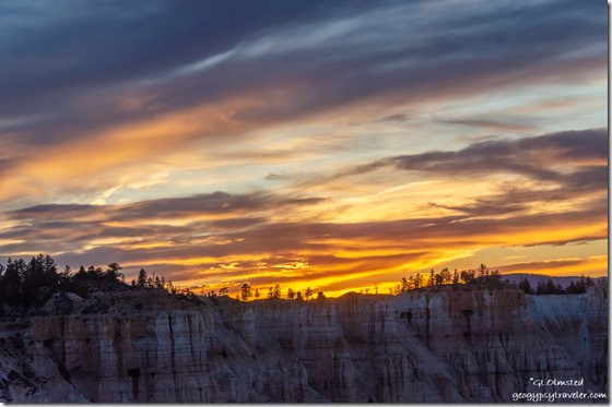
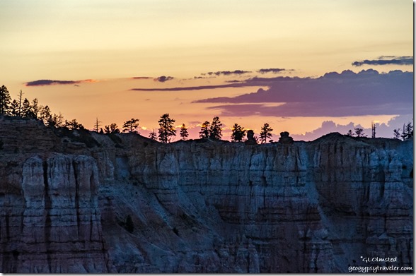
trees sunset clouds over rim from Bryce Point Bryce Point Bryce Canyon National Park UtahBut I remind myself to turn around again and again so as not to miss an opportunity.  It’s not every night I see colorful Bryce Canyon sunsets.

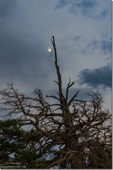
snag moon clouds Bryce Point Bryce Point Bryce Canyon National Park UtahOn the walk back to my truck, an almost full moon tries to shine through clouds.  Ah, next up, full moon.

Linking to Skywatch Friday.

Push my buttons!

  • Facebook
  • Twitter
  • LinkedIn

Like this:

Like Loading...
Bryce Canyon National Park, Utah hoodoos, rainbows, stormy sky, sunsets 42 Comments
← Older posts

Hi, I’m Gaelyn, the Geogypsy

I retired after 29 summer seasons as a Park Ranger, traveling solo for 40+ years. My passions include travel, connecting to nature, photography, and sharing stories.

I started exploring US National Parks in 1977 and 20 years later became a seasonal Park Ranger.  I’ve lived full-time in a RV for 30 years working summers and playing winters.  I’m still trying to figure out what I want to be when I grow old, other than grow up.

Let’s share our stories.  Here’s more of mine…

My wheeleastate

I am currently…

…boondocking somewhere in southern Arizona.  In the area, give a shout.

Geogypsytraveler on YouTube

Follow my journey on YouTube. Just click the pic. Hope you’ll like, share, and subscribe.
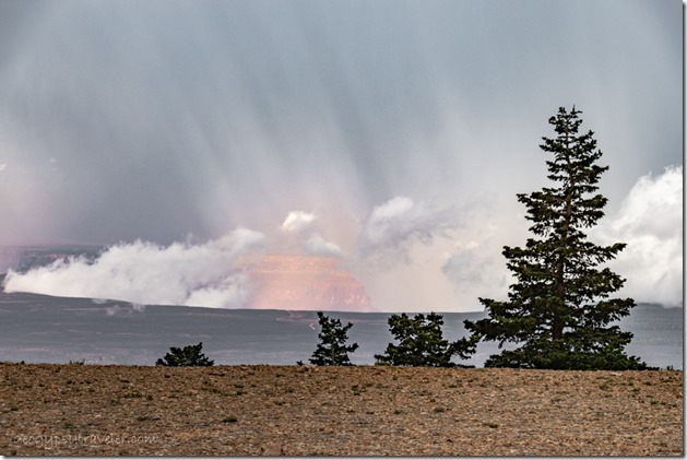
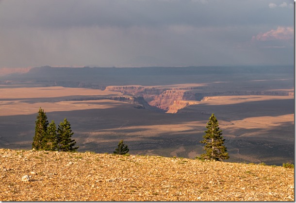
Click image for 7 minute documentary (Password “geogypsy” lowercase)

Making the Gypsy documentary is a story of its own.  Click below for the rest of the story.

Living nomadically & connecting to nature documentary

Subscribe to Blog via Email

Enter your email address to subscribe to this blog and receive notifications of new posts by email.

Photos available for sale include prints, greeting cards, coffee mugs, tote bags, phone cases and more

Reflected Wave 24X16 metal print under $100

Custom Coffee Mugs

Many items to choose from including prints

The Last Blast 24 x 16″ metal print under $100

Need a signal boost? When I boondock on public lands sometimes signal is weak or intermittent and a booster helps. Click the pic to visit WeBoost.

Connecting to nature and the rest of the world too.

Please contact me for photo purchases not seen at GLOlmsted Photography

Order fulfillment is by Fine Art America. If you’re not happy with your purchase, for any reason, simply return it within 30 days, and you’ll receive a full refund of the purchase price.

Why read Geogypsy?

The gypsy life spring-summer 1998 - "You were a real pioneer. RV'ing before it was cool." ...Yogi

How do you process photos? - “Your photographs create an Emotional feeling in the viewer...that they become One with You.” …Cindy

Life’s transitions between travel and work play - "I know you love your job as much as you love travel -- it shines through all your posts." ...Sallie

Lions at Kruger National Park - “Wonderful post, thank you. I was hooked start to finish!” … Peter B

11 lessons looking back 2013 - “A great post -- made me think, made me smile, made me want to cry." ...Sallie

Wildlife video Kruger National Park - “Gorgeous, this makes me want to go straight to South Africa now.” … Ayngelina

Living nomadically & connecting to nature documentary - “What an experience you had and gave to the "crew." Sometimes I think you don't realize how unique and inspiring you are.” …Alan

Search

Popular Posts

1. Prioritize the well-being of nature over photography. 2. Educate yourself about the places you photograph. 3. Reflect on the possible impact of your actions. 4. Use discretion if sharing locations. 5. Know and follow rules and regulations. 6. Always follow Leave No Trace principles and strive to leave places better than you found them. 7. Actively promote and educate others about these principles

Categories

Archives

Sites I follow, read & recommend

  • A Full-time Life
  • A Yankee in Belgrade
  • Bob's Eyes
  • Box Canyon Blog
  • Camels and Chocolate
  • Dawns bloggy blog
  • In the Direction of Our Dreams
  • Jane in her infinite wisdom
  • Janie and Steve, Utah Trails
  • Kathie's Birds
  • Las Adventuras
  • Memorable Meanders
  • Oh, The Places They Go
  • On the Road Abode
  • Port Elizabeth Daily Photo
  • Stillhowlyntravels
  • Take to the Highway
  • Technomadia
  • the good luck Duck
  • Travel with the Bayfield Bunch
  • Wandering Earl
  • Wheeling It
  • Yogi's Den

Caught in a Slot 9×12 canvas print under $50

If you don’t like what’s going on in your government, contact your Congress

Directory of Senators

Directory of Representatives

Lijit

© Copyright 2008-2024. Geogypsytraveler.com
%d