• Home
  • About Geogypsy
    • Herstory
    • Parks where I’ve worked
  • Places I’ve been
    • United States
      • Arizona
        • Antelope Slot Canyon
        • Casa Grande Ruins National Monument
        • Colossal Cave Mountain Park
        • Flagstaff
        • Glen Canyon National Recreation Area
        • Grand Canyon National Park
          • Grand Canyon National Park North Rim
          • Grand Canyon National Park South Rim
          • Toroweap
        • Havasu Canyon
        • Horseshoe Bend
        • Jerome
        • Kaibab National Forest
        • Lee’s Ferry
        • Meteor Crater
        • Navajo Bridge
        • Oak Creek Canyon
        • Painted Desert
        • Pipe Springs National Monument
        • Prescott
        • Quartzsite
        • Saguaro National Park
        • Sedona
        • Sunset Crater Volcano National Monument
        • Vermilion Cliffs
        • Walnut Canyon National Monument
        • Wupatki National Monument
        • Yarnell
      • California
        • Anzaberrego
        • Bakersfield
        • Death Valley National Park
        • Joshua Tree National Park
        • Redwoods NP
        • Salton Sea
        • Yucca Valley
      • Colorado
        • Mesa Verde National Park
      • Florida
      • Illinois
        • IL River
        • Morton Arboretum
        • Starved Rock State Park
      • Michigan
      • Nevada
      • New Mexico
      • Oregon
        • Crater Lake NP
        • Mt Hood
        • Oregon Caves National Monument
      • Texas
        • Alpine Texas
        • Padre Island
        • Port Isabel
        • Rio Grande Valley
      • Utah
        • Brian’s Head
        • Bryce Canyon National Park
        • Buckskin Gulch
        • Cedar Breaks National Monument
        • Cedar City
        • Coral Pink Sand Dunes State Park
        • Dixie National Forest
        • Grand Staircase Escalante National Monument
        • Johnson Canyon
        • Kanab
    • World Travels
      • Germany
      • Mexico
      • South Africa
  • Tours
  • Photography
  • Work with Me
    • Sponsors
  • Contact
Geogypsy
Menu
  • Home
  • About Geogypsy
    • Herstory
    • Parks where I’ve worked
  • Places I’ve been
    • United States
      • Arizona
        • Antelope Slot Canyon
        • Casa Grande Ruins National Monument
        • Colossal Cave Mountain Park
        • Flagstaff
        • Glen Canyon National Recreation Area
        • Grand Canyon National Park
          • Grand Canyon National Park North Rim
          • Grand Canyon National Park South Rim
          • Toroweap
        • Havasu Canyon
        • Horseshoe Bend
        • Jerome
        • Kaibab National Forest
        • Lee’s Ferry
        • Meteor Crater
        • Navajo Bridge
        • Oak Creek Canyon
        • Painted Desert
        • Pipe Springs National Monument
        • Prescott
        • Quartzsite
        • Saguaro National Park
        • Sedona
        • Sunset Crater Volcano National Monument
        • Vermilion Cliffs
        • Walnut Canyon National Monument
        • Wupatki National Monument
        • Yarnell
      • California
        • Anzaberrego
        • Bakersfield
        • Death Valley National Park
        • Joshua Tree National Park
        • Redwoods NP
        • Salton Sea
        • Yucca Valley
      • Colorado
        • Mesa Verde National Park
      • Florida
      • Illinois
        • IL River
        • Morton Arboretum
        • Starved Rock State Park
      • Michigan
      • Nevada
      • New Mexico
      • Oregon
        • Crater Lake NP
        • Mt Hood
        • Oregon Caves National Monument
      • Texas
        • Alpine Texas
        • Padre Island
        • Port Isabel
        • Rio Grande Valley
      • Utah
        • Brian’s Head
        • Bryce Canyon National Park
        • Buckskin Gulch
        • Cedar Breaks National Monument
        • Cedar City
        • Coral Pink Sand Dunes State Park
        • Dixie National Forest
        • Grand Staircase Escalante National Monument
        • Johnson Canyon
        • Kanab
    • World Travels
      • Germany
      • Mexico
      • South Africa
  • Tours
  • Photography
  • Work with Me
    • Sponsors
  • Contact

Tag: rain

12 March 2023

Wind and rain brought Spring in the Sonoran Desert

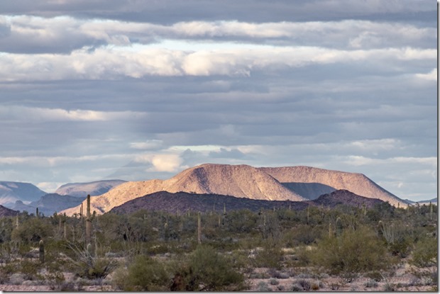
Saguaro desert clouds on Kofa Mts King Rd BLM Kofa AZSecond week boondocking near the Kofa Mountains brought Spring in the Sonoran Desert.

02a Birthday month

https://geogypsytraveler.com/wp-content/uploads/2023/03/02b-VID_20230225_171537883-time-lapse-clouds-King-Rd-BLM-Kofa-AZ.mp4

February moved on and March blew in like a lioness—it’s my birthday month after all—so guess that means it will go out like a ewe lamb similar to last year.  Gifts of clouds, rain, puddles, and birds made for some exceptional photography.

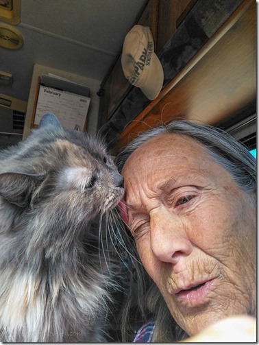
Sierra grooming Gaelyn's eyebrowsBath day

On Caturday, February 25th, the first propane tank emptied after one week using a lot for heat.  We crossed fingers and paws the next tank would last a little longer so I could stay and shoot the moon.  It rained that night.
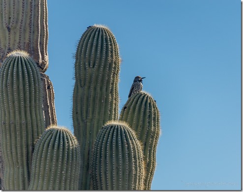
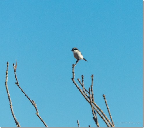
Loggerhead Shrike Ocotillo King Rd BLM Kofa AZ

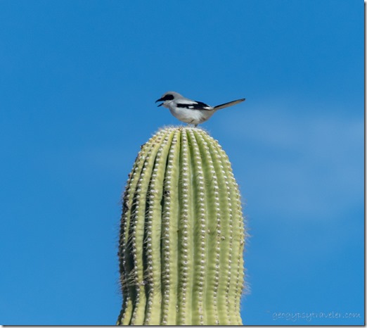
Common Flicker bird Saguaro King Rd BLM Kofa AZThough I didn’t wake up to puddles or noticeably wet ground the bird song, and sightings, were a treat that felt like a sign of Spring in the Sonoran Desert.  The Loggerhead Shrike with black eye mask might be seen as mean because it impales caught lizards and rodents on the spikes of desert plants.  The Common Flicker often nests inside Saguaro cactus.
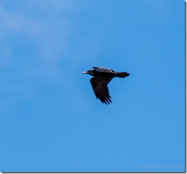
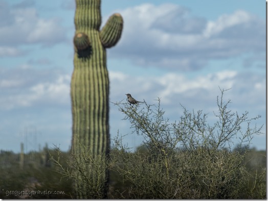
Cactus wren bird King Rd BLM Kofa AZ

Raven bird King Rd BLM Kofa AZCactus Wren’s are the most melodious, and Ravens the most commonly seen.


https://geogypsytraveler.com/wp-content/uploads/2023/03/06-time-lapse-with-me-Sierra-knocked-down-Kofa-AZ-g.mp4

I set up a time-lapse in the window and then went for a little walk.  It seems somebody bumped the tripod.
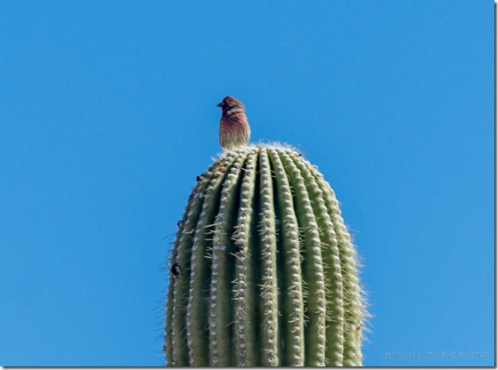
unidentified bird Saguaro King Rd BLM Kofa AZThe next day I took another walk and spotted a bird still unidentified, so feel free to ID please.
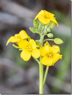
yellow Bladderpod flowers King Rd BLM Kofa AZI took mostly video that day that I’ll put together eventually.  It’s not easy to take both stills with the big camera and video with the phone.  The prominent flowers and not in abundance were the yellow Bladderpod.
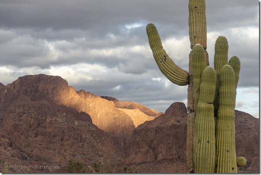
Saguaro desert shadows Kofa Mts clouds King Rd BLM Kofa AZ

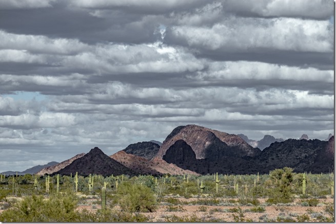
Saguaro light Kofa Mts clouds King Rd BLM Kofa AZIncreasing wind blew February out of the way with amazing clouds leaving light and shadow on the land.
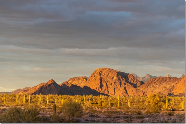
Saguaro desert light clouds King Rd BLM Kofa AZ

Saguaro desert Kofa Mts clouds King Rd BLM Kofa AZThe house was rocking and a sometimes southern wind on the door kept me inside.  But that doesn’t stop me from taking photos through the windows.
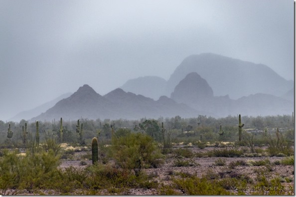
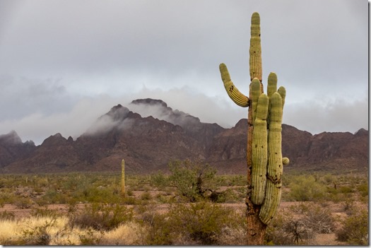
Saguaro desert shadows Kofa Mts foggy King Rd BLM Kofa AZMarch blew in with increasing gusts and the rain began about 2pm remaining pretty steady throughout the afternoon.

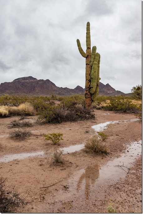
puddle reflection Saguaro Kofa Mts clouds King Rd BLM Kofa AZWow, reflection!

A gentle rain that made some puddles, definitely a special gift of Spring in the Sonoran Desert.
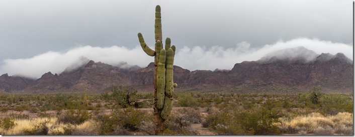
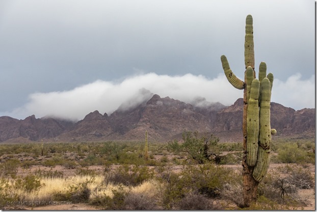
Saguaro desert clouds on Kofa Mts King Rd BLM Kofa AZ

Saguaro desert clouds on Kofa Mts King Rd BLM Kofa AZ PanoInstead of a colorful sunset, clouds danced over the Kofa Mountains while rain fell below making for a happy desert.  I wondered if they would bring snow to the peaks.

Loggerhead Shrike bird Saguaro King Rd BLM Kofa AZLoggerhead Shrike

By morning under clear blue skies the puddles were almost gone and I couldn’t see snow on the peaks, though someone else said there was some, and it had snowed in Tucson.
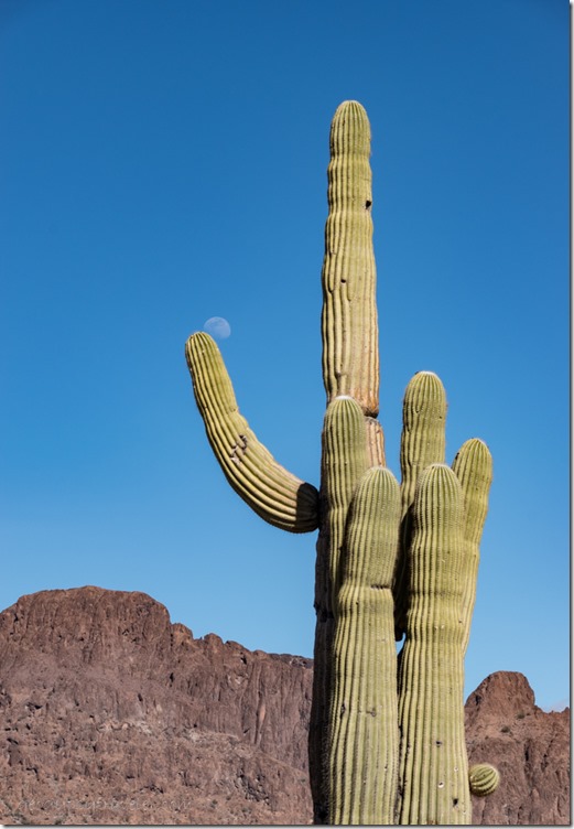
Saguaro mt moon King Rd BLM Kofa AZI got busy inside working on a video about safe boondocking during southwest winter weather and the moon snuck up over a Saguaro.
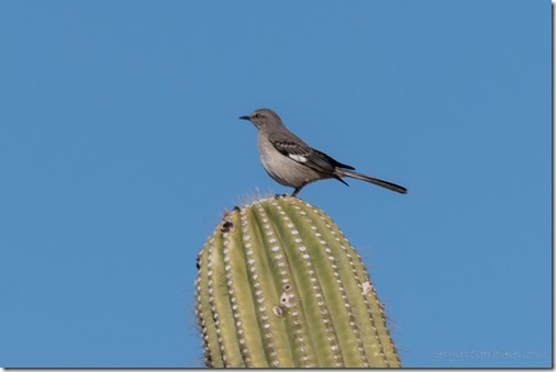
Northern Mockingbird cactus King Rd BLM Kofa AZWith barely a breeze and warming temperatures I enjoyed sitting outside in the sunshine and felt Spring in the Sonoran Desert while I listened to the Mockingbird.
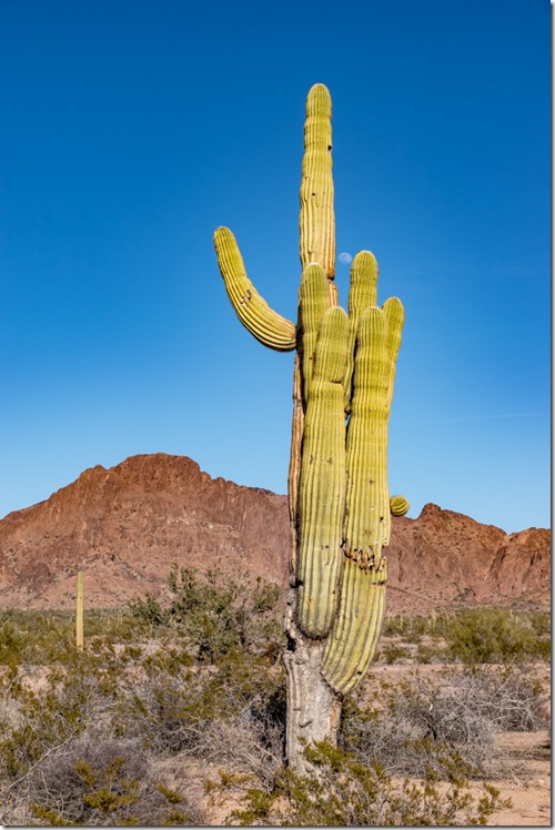
Saguaro mts moon King Rd BLM Kofa AZCaught the late afternoon moon trying to hide behind a Saguaro and looked forward to several more nights before the actual full moon.

Push my buttons!

  • Facebook
  • Twitter
  • LinkedIn

Like this:

Like Loading...
Arizona, Kofa NWR, Places I've been, Sonoran desert, United States birthday, clouds, desert, photography, rain, spring, weather, wind 16 Comments
06 July 2022

Monsoon increases negative ions

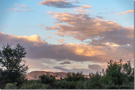
trees Bradshaw Mts sunset clouds Skull Valley AZMonsoon magic brings delightful clouds, rainbows, crepuscular rays, and plays of light and shadows.  All the activity increases *negative ions and that’s not a bad thing.

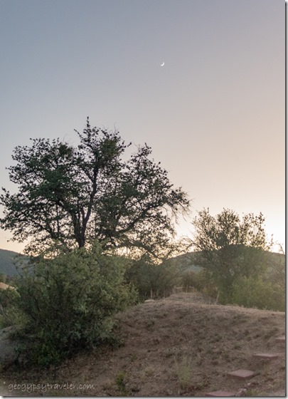
yard tree crescent moon Skull Valley AZClear skies are usually full of positive energy, and that might sound good and happy under clear blue sky.  However, our bodies tend toward negative energy that is drawn from the Earth and stormy skies.  It’s all about balance.

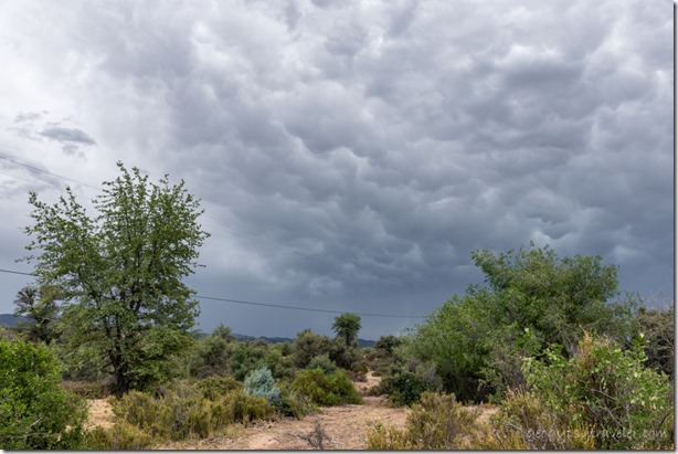
grass trees mammatus clouds Skull Valley AZBoy, I needed me some of that energy as much as the parched soil needs water.  Been feeling lazy with no ambition.  It’s been hot.  Even without rain, monsoon causes an increase in humidity.  Anything over 30% feels muggy to me.  I know that’s still dry heat to many.  It’s all relevant to what we grow accustomed to.  That means, running the AC, which I’m not fond of plus shudder at the electric consumption.  Mammatus clouds hung heavy with water yet barely gave a drop.

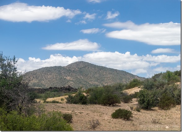
grass bush Brushy Mt Skull Valley AZ

Years ago while working at Grand Canyon, I described the science behind monsoon here.  The summer weather predictions are repetitive to the point of boredom.  Likely rain and thunderstorm activity typically begins after 11am, comes and goes intermittently, and ends by 11pm.  Sometimes, it rains.

trees Brushy Mt storm clouds crepuscular rays Skull Valley AZThe cloud show captivates as cumulus clouds (fluffy and white with flat bottoms) gather into cumulonimbus clouds with darker bottoms that may produce thunderstorms.

grass bush Brushy Mt mushroom storm cloud Skull Valley AZMost dramatic is the isolated mushroom cloud formed from water vapor forced upward by powerful upper-air currents.

Brushy Mt sunset mammatus clouds Skull Valley AZMammatus clouds at sunset

Clouds continued to gather all around filled with distant rumbles.  Then wind dropped the temperature and gentle female rain fell for 30 minutes.  I felt the increase in negative ions and smiled.

electric poles storm clouds Skull Valley AZBy mid-week I figured the monsoon pattern had truly arrived.  I turned on the AC at 8am, already 80° and 43% humidity.  I turned it back off around noon when it started to rain.  For an hour the rain teased with light sporadic fall.  Suddenly the wind increased and lightning occurred close enough to make me jump.  Storm energy feels awesome, even when it rocks the house. The smell was intoxicating.  As the wind and rain increased in intensity I ran around closing windows to a sideways downpour.  Thank goodness for some jalousie windows to let in air and no water.  I felt exhilarated, high without drugs.  The negative ions were palpable.  The tantalizing high didn’t last long, but the feel good stuck around.  I continued to almost run in small circles from window to window.  I could only make photos with my eyes through the sheeting of water on glass.  I took a small piece of video.  For almost two hours the storm rocked and boomed, and then it moved on leaving soft rumbles and a cool breeze with barely dampened ground.  I went outside and took more video.

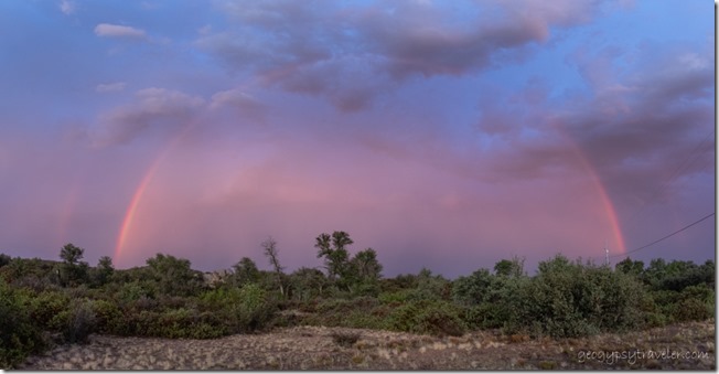
double rainbow Skull Valley AZWhat an incredible Wowzer day! And it ended with a touch more rain and a huge, full double rainbow.  I felt the alive of summer monsoon.
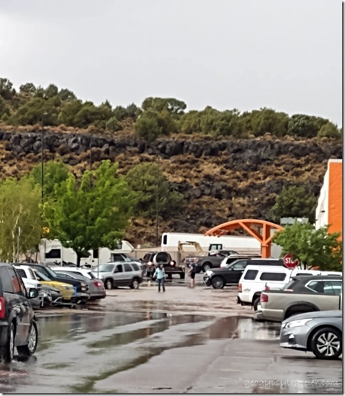
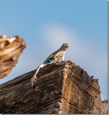
side-blotched lizard on log Skull Valley AZAfter that, the skies have mostly cleared and I haven’t felt a drop since.  I went back to my mundane ways, working on videos.  You should check out the video from 4th of July that includes so much more of this week filled with monsoon and negative ions, and maybe just a little of negative me (but no fireworks).  Plus check my Geogypsy YouTube channel later this week for a hint of what’s to come.

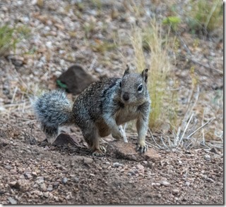
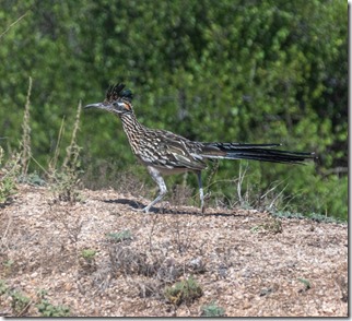
Gray squirrel Skull Valley AZRoadrunner bird Skull Valley AZ

Window Wildlife- gray squirrel and roadrunner (bee-beep)

*Negative ions are believed to produce biochemical reactions that increase our levels of serotonin, which improves our mood and helps to alleviate depression, relieve stress and boost our energy.  This energy is absorbed through skin and comes from water, air, and all of nature.  You probably already knew that.

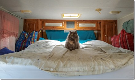
Sierra cat on camper bed Congress AZWANTED: house/cat sitter, or StayCATion for you, in my 36′ 5th-wheel for one week in Skull Valley Arizona only 30 minutes from Prescott.  This shot is in the small camper.

Push my buttons!

  • Facebook
  • Twitter
  • LinkedIn

Like this:

Like Loading...
Arizona, monsoon, Places I've been, United States life, monsoon, photography, rain 18 Comments
03 August 2021

Monstrous Monsoon rains bring flooding to southern Utah

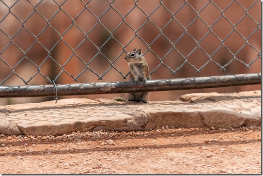
Ground Squirrel at fence Sunrise Point Bryce Canyon National Park UtahOK, enough rain already!  In the last two weeks during monstrous monsoon rains Bryce Canyon received 3 inches.  And Cedar City got two inches in an hour while I shopped there last week.  I love the rain—a special gift in an arid place—and embrace monsoon, but this is ridiculous.  The hard ground—compare to a dried out sponge—takes a while to soak and soften which can cause flash flooding.  But then once saturated can soak no more and causes more flash flooding.

Last week I was praising the healing rain and now I pray for just a little less intensity.  Not like I worry about melting, I have the right gear, but I don’t want to be along the rim when lightning roars.  After Saturday’s 11am Hoodoo geology talk I was eating lunch in my truckcamper with another monstrous monsoon storm brewing and wondering about roving along the rim when a radio call from my boss said lightning was nearby and I was called back to the building.  I get bored real quick in the office, so after cleaning up in the library—my collateral duty as librarian—I went into the visitor center and stood by the topo map answering questions for four hours.

flood damage Queens Garden Trl Bryce Canyon National Park Utah NPS photoflood damage Wall St Navajo Lp Trl Bryce Canyon National Park Utah NPS photoflood damage Wall St Navajo Lp Trl Bryce Canyon National Park Utah NPS photo

National Park Service photos of trail damage Queen’s Garden and Navajo Loop trails

Also heard some stories from visitors hiking in the hoodoos when flash flooding occurred during the monstrous monsoon rains.  Rangers went out to assist people off the trails.  Everyone was fine, though wet and muddy.  Then all trails below the rim were closed.  This kind of flooding is a rather unusual occurrence at Bryce.  My first experience seeing water flow in any dry wash.  But these rains have come hard and fierce.

repairs Two Bridges side Navajo Loop Trail Bryce Canyon National Park Utah

repairs Two Bridges side Navajo Loop Trail Bryce Canyon National Park UtahRepairs Navajo Loop trail

Late start on Sunday and still struggling to get online after about 9/10am.  Then add a Windows update that changes my settings, again.  Was hoping for an update on trail closures before getting to work at noon.  Instead I find out after a couple hours at the information desk I’ll be roving at the Navajo Loop trailhead to keep people off the closed trail and answer questions.  “When will it open?”  “Don’t know yet, still being assessed for damage and safety.”
hoodoos Sinking Ship valley light Aquarius Plateau clouds Bryce Canyon National Park UtahI found it eerily quiet and was thinking the rim trails and Rainbow Point must be packed.  Left for dinner at 4:30 then back to the desk from 6-8pm and when I returned the Navajo Loop trail had reopened under incomplete repairs.  That didn’t make sense.  With the possibility of more rain, and lightning, I had to make the call by 8:30pm for my 9pm outdoor evening program.  The show went on with a small group including my supervisor for observation because of mid-season evaluation.  No big deal.  And no rain.
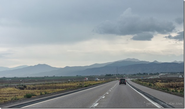
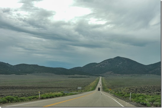
SR20 Weat Utah

SR20 West Utah

jct SR20 West & I15 Utah

thunder clouds Parowan Valley I15 South UtahI traded another Ranger my Wednesday project day for Monday and then took that day off.  Sweet, another nine hours of sick leave used up and only two more work days to the week.  Nice drive on SR20 west under partly cloudy sky up onto a plateau, through meadows, and back down into the valley onto I15 south to Cedar City.

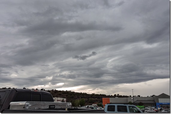
Storm clouds WalMart Cedar City UtahMy plan was park in the outer edges of WalMart for a short walk to lunch at the Asian Bistro, followed by some shopping, and another walk next door to the Dessert Industries Thrift Store.  Then possibly a couple other store stops.

flooded parking lot WalMart Cedar City Utah

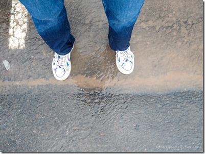
wet legs from wading in flooded parking lot WalMart Cedar City UtahI could hear the rain so hard on the Wally’s roof I thought it might cave in.  There were wet places on the floor and people seemed to be moving slower than usual to put off going outside in the monstrous monsoon downpour, myself included.  Once it stopped raining I checked out and worked through the crowd by the door to get outside.  OMG!  A dip in the drive near the store resembled a ruddy raging river.  The only way to get to my rig was through, so I pushed the cart through almost knee-deep chilly water.  Thank goodness for dry pants and shoes onboard.  After loading groceries, I stayed put in the camper about 1 1/2 hours to wait for the water to subside.  It had pretty much quit raining.  Glad I waited as the debris along the edge of the interstate indicated a lot of water had sheeted across.

Hurricane Cliffs storm clouds Parowan Valley I15 North UtahI15 North

valley mountains clouds SR20 East UtahSR20 East

Only sprinkled on the way to Panguitch where I stopped for dinner at the Big Fish.  Then barely a sprinkle once home to unpack.  And realize I’d left my credit card at the restaurant.  I have never done that before.

people on Two bridges Navajo Loop Trail Bryce Canyon National Park UtahHikers on Two-Bridges side of Navajo Loop Trail

Tuesday morning I returned to work with the first hour at the information desk and discovered the Queen’s Garden trail with loop into Navajo trail was opened after repairs.  Work was still being done on the Peek-a-boo trail.  I figured the trails were either a little muddy if wet or lumpy if dry.  Hiking boots might start as size sevens and return size tens.

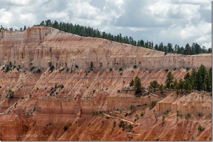
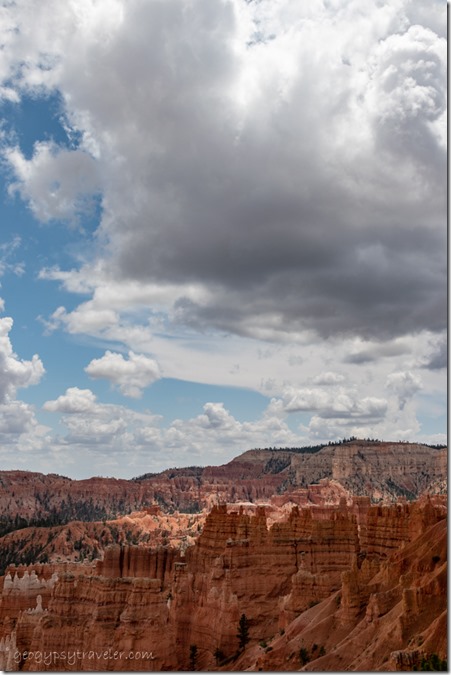
hoodoos Bryce Point clouds from rim Bryce Canyon National Park UtahI presented the 11am Hoodoo geology talk, hid in my camper for lunch, and returned to rove several hours near Sunrise Point.  While finishing the day at the information desk I’m told about the updated CDC advisory for mandatory mask wearing in federal buildings beginning the next day that includes all employees and visitors.

So that day, Wednesday on my Friday, starts with opening the visitor center and staffing two hours outside the door to limit entry to 80 visitors and provide masks as needed.  Back to this again.  Garfield county, Utah is seeing increases in COVID with the new Delta strain.

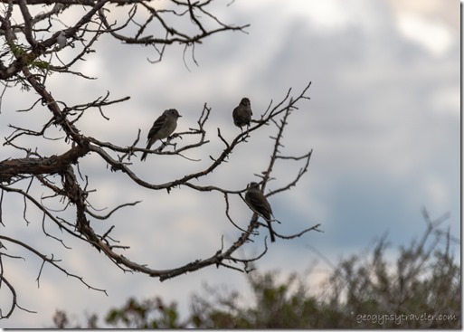
birds on branch Bryce Canyon National Park UtahI am more than happy to drive the 18 miles to the end of the scenic road and spend the afternoon outside at Yovimpa Point.  It was my short day, eight hours instead of nine, made a little shorter by a storm rolling in around 3pm with only sprinkles and no monstrous monsoon rain.

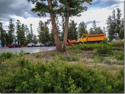
snowploy Rainbow Point Bryce Canyon National Park UtahWhat I didn’t expect to see in the parking lot was the snowplow.  It was actually clearing small debris off the side of the road.

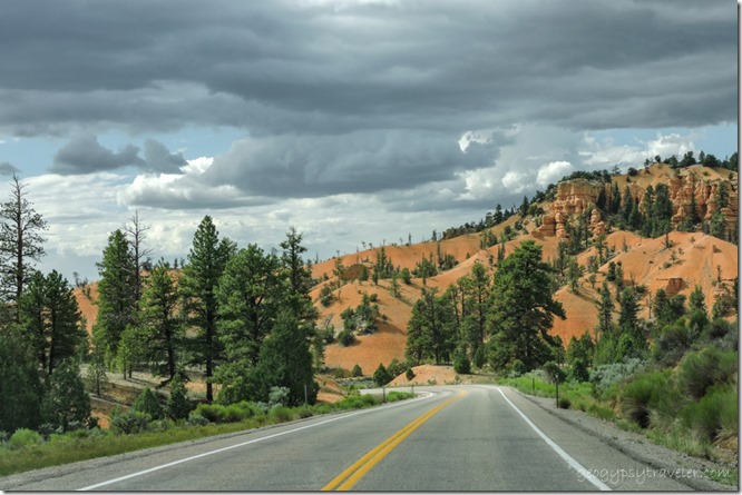
trees pink cliffs Red Canyon Dixie National Forest SR12 West UtahRed Canyon SR12 W Dixie National Forest

Once home, made a quick clothes change and headed to Panguitch to meet work friends for dinner at the Big Fish and retrieve my credit card.

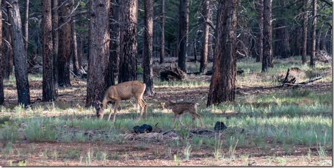
doe & fawn Mule Deer Bryce Canyon National Park UtahExcept for chores, I looked forward to three lazy days off work with intermittent rain and wildlife entertainment.  I return to work the first of August to who knows what for sure.  Prediction for more showers and thunderstorms in the afternoon so might see more monstrous monsoon rains.

_______________________________________________________________________

BTW, if you have a RV you want to sell, now is the time.  Seriously, used RVs are frequently listing for more than you might have paid.  My 25 year-old truckcamper is valued at $2000 more than I paid for it seven years ago.  Mine isn’t for sale.  Don’t expect this to last.  Many of the hordes of new RVers may soon discover it’s not for them.  Just sayin’.

Push my buttons!

  • Facebook
  • Twitter
  • LinkedIn

Like this:

Like Loading...
Bryce Canyon National Park, Cedar City, monsoon, Places I've been, United States, Utah flash flood, flooding, monsoon, rain, trail closures 20 Comments
← Older posts

Hi, I’m Gaelyn, the Geogypsy

I retired after 29 summer seasons as a Park Ranger, traveling solo for 40+ years. My passions include travel, connecting to nature, photography, and sharing stories.

I started exploring US National Parks in 1977 and 20 years later became a seasonal Park Ranger.  I’ve lived full-time in a RV for 30 years working summers and playing winters.  I’m still trying to figure out what I want to be when I grow old, other than grow up.

Let’s share our stories.  Here’s more of mine…

My wheeleastate

I am currently…

…boondocking somewhere in southern Arizona.  In the area, give a shout.

Geogypsytraveler on YouTube

Follow my journey on YouTube. Just click the pic. Hope you’ll like, share, and subscribe.

Click image for 7 minute documentary (Password “geogypsy” lowercase)

Making the Gypsy documentary is a story of its own.  Click below for the rest of the story.

Living nomadically & connecting to nature documentary

Subscribe to Blog via Email

Enter your email address to subscribe to this blog and receive notifications of new posts by email.

Photos available for sale include prints, greeting cards, coffee mugs, tote bags, phone cases and more

Reflected Wave 24X16 metal print under $100

Custom Coffee Mugs

Many items to choose from including prints

The Last Blast 24 x 16″ metal print under $100

Need a signal boost? When I boondock on public lands sometimes signal is weak or intermittent and a booster helps. Click the pic to visit WeBoost.

Connecting to nature and the rest of the world too.

Please contact me for photo purchases not seen at GLOlmsted Photography

Order fulfillment is by Fine Art America. If you’re not happy with your purchase, for any reason, simply return it within 30 days, and you’ll receive a full refund of the purchase price.

Why read Geogypsy?

The gypsy life spring-summer 1998 - "You were a real pioneer. RV'ing before it was cool." ...Yogi

How do you process photos? - “Your photographs create an Emotional feeling in the viewer...that they become One with You.” …Cindy

Life’s transitions between travel and work play - "I know you love your job as much as you love travel -- it shines through all your posts." ...Sallie

Lions at Kruger National Park - “Wonderful post, thank you. I was hooked start to finish!” … Peter B

11 lessons looking back 2013 - “A great post -- made me think, made me smile, made me want to cry." ...Sallie

Wildlife video Kruger National Park - “Gorgeous, this makes me want to go straight to South Africa now.” … Ayngelina

Living nomadically & connecting to nature documentary - “What an experience you had and gave to the "crew." Sometimes I think you don't realize how unique and inspiring you are.” …Alan

Search

Popular Posts

1. Prioritize the well-being of nature over photography. 2. Educate yourself about the places you photograph. 3. Reflect on the possible impact of your actions. 4. Use discretion if sharing locations. 5. Know and follow rules and regulations. 6. Always follow Leave No Trace principles and strive to leave places better than you found them. 7. Actively promote and educate others about these principles

Categories

Archives

Sites I follow, read & recommend

  • A Full-time Life
  • A Yankee in Belgrade
  • Bob's Eyes
  • Box Canyon Blog
  • Camels and Chocolate
  • Dawns bloggy blog
  • In the Direction of Our Dreams
  • Jane in her infinite wisdom
  • Janie and Steve, Utah Trails
  • Kathie's Birds
  • Las Adventuras
  • Memorable Meanders
  • Oh, The Places They Go
  • On the Road Abode
  • Port Elizabeth Daily Photo
  • Stillhowlyntravels
  • Take to the Highway
  • Technomadia
  • the good luck Duck
  • Travel with the Bayfield Bunch
  • Wandering Earl
  • Wheeling It
  • Yogi's Den

Caught in a Slot 9×12 canvas print under $50

If you don’t like what’s going on in your government, contact your Congress

Directory of Senators

Directory of Representatives

Lijit

© Copyright 2008-2024. Geogypsytraveler.com
%d