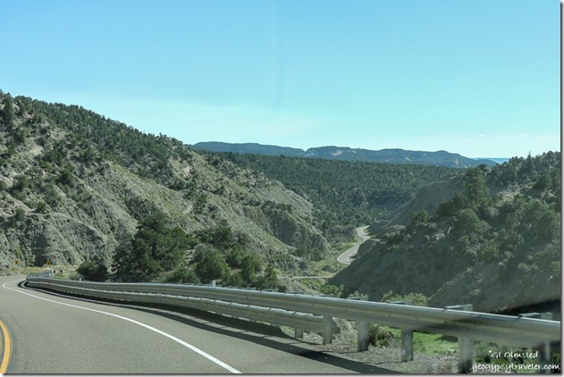
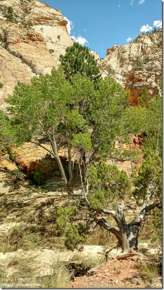
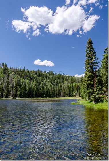
 Four days before I broke both my wrists I had three days off work and needed to get out to explore some more of the area so I took a mosey to Posey Lake on the Dixie National Forest.
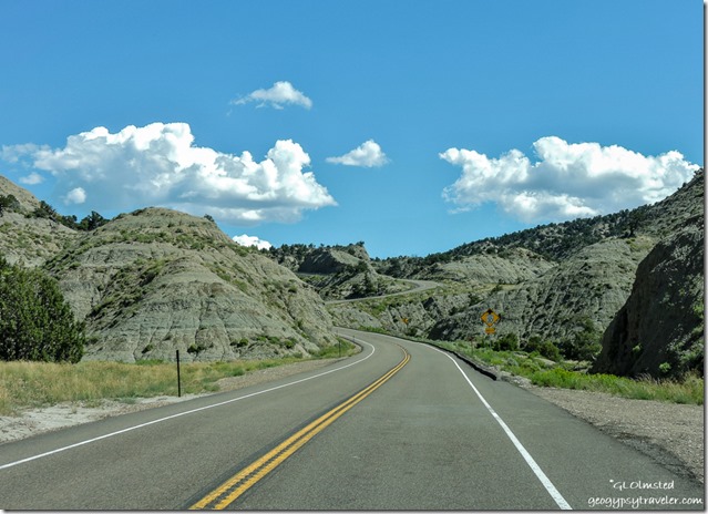
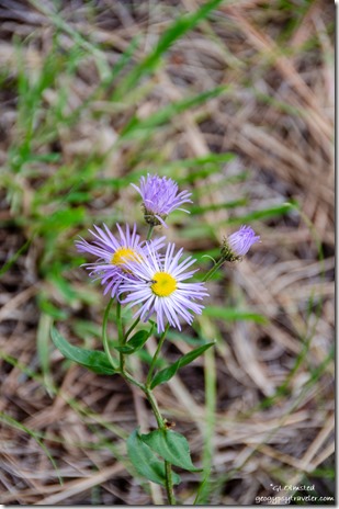
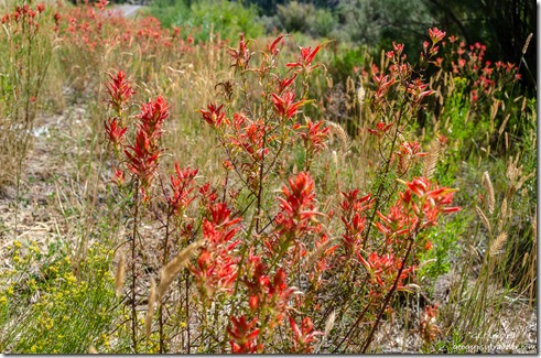 Within 45 mins I had to stop for some awesome rock and flowers along Henryville Creek on SR12, a Utah Scenic Byway.
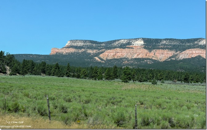 Then over The Blues and around Powell Point on the southern tip of the Aquarius Plateau.
 I had explored as far as the town of Escalante before so it was time to get past that.
 Thought about staying on SR12 to Boulder or taking the Hell’s Backbone Road one way or the other, but I didn’t get that far. No surprise when I go off sauntering even when driving. Of course I also had planned for a late pastry breakfast at Mimmi’s which was closed so settled with a Nemo’s hamburger and fries instead. Was OK, all outdoor seating in 80+° wasn’t appealing so ate in the ACed truck cab while further planning my day.
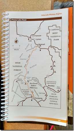 Looking at a map with so many choices I wasn’t sure but decided a drive to a lake in the forested mountains sounded good. So I found Posey Lake Road at the east side of town and headed north. Started off paved then turned to well groomed gravel.
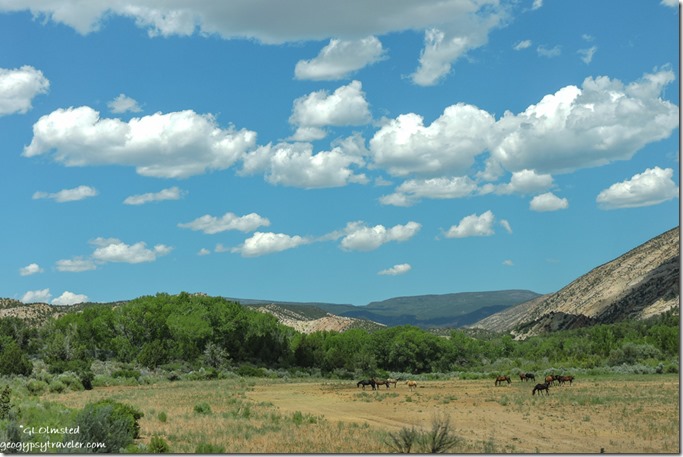 Some of the drive following Pine Creek goes past private land, at least on the west side of the road.
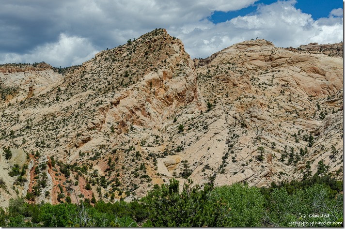
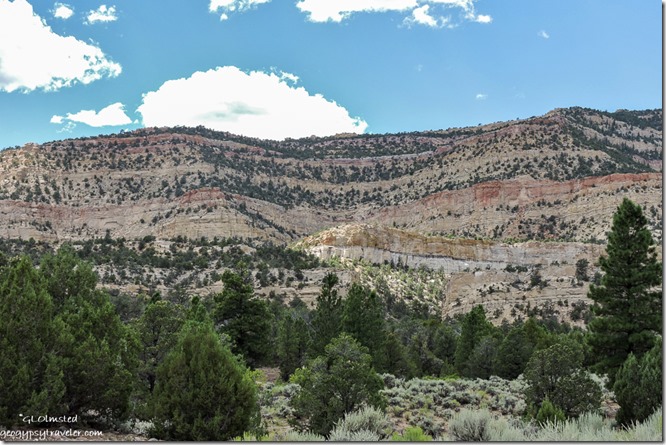
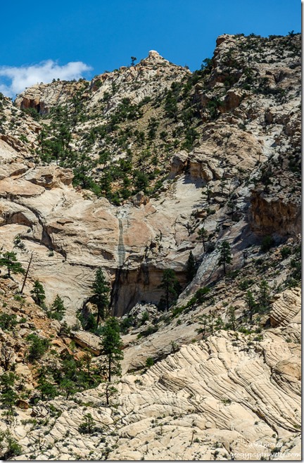 On the east side, looks like a cockscomb of tilted Navajo sandstone with luscious iron colors, crazy contours and a monumental topography. I’m such a geonerd.
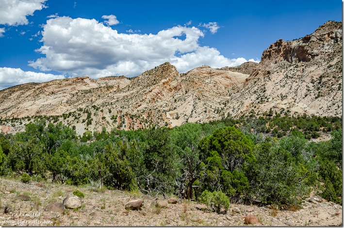 Almost all of Utah could be a national park.
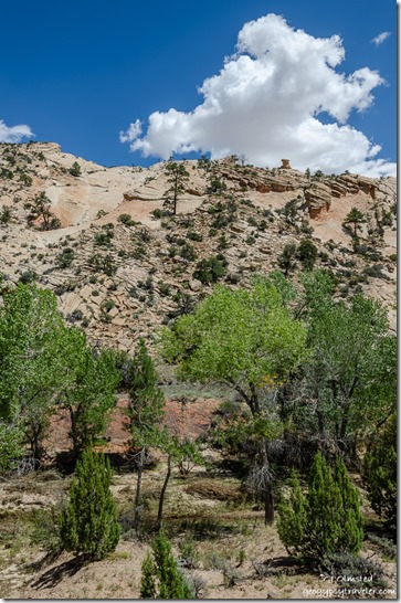
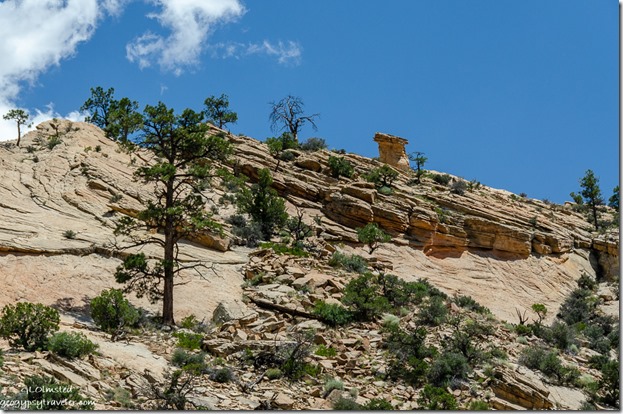 Low land and high, surrounded by a dense pinyon/juniper woodland, cliff faces prove difficult for life to hang on.
Then a slow climb up Escalante Mountain and into Ponderosa Pine forest where I feel right at home. Passed the Hell’s Backbone turn off thinking I’d rather climb it than go down, saved for another day. Then I didn’t see the lake and figured it was further than I wanted to go at 2:30 in the afternoon so turned around but changed my mind again after looking closer at the map and turned around again.
 Glad I did, as the lake was only a little farther along on FR154. I went first to the picnic area with a rather small parking lot, several picnic tables, and a tiny outhouse I’m glad I didn’t need as I bring my toilet with me. There is a boat ramp for non-motorized boating near the campground and two nice docks.
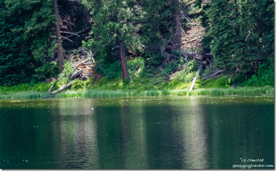 A fairly small fishing lake with rainbow and brook trout, and I saw many jumping. Also osprey around so that’s a good sign for fishing. Plus lots of either swifts or swallows flying low over the lake for either a drink of water or eating insects. Saw some ducks on the far side of the lake but just couldn’t get a good focus on them. Also many big turquoise dragonflies that wouldn’t hold still long enough for a pic.
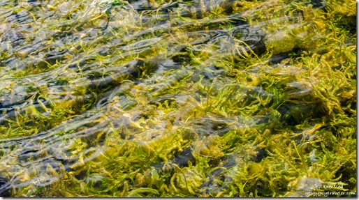
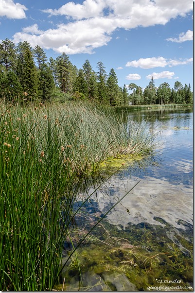 The shallows were full of vegetation, I wouldn’t swim in this lake but would return for a campout. A camphost looks over 21 campsites with picnic tables, fire rings/grills, and bear box at $11/night, and 1 group site. Accommodates RVs up to 24 feet in length with no hookups. Drinking water (Memorial Day – Labor Day), vault toilets, no garbage disposal so please pack it out. At 8,600 feet the nights could be nippy. The Posey Lake Lookout Trail climbs from Posey Lake Campground to a historic, CCC constructed, lookout gazebo. The trail is short and fairly steep, gaining almost 400 vertical feet in .7-mile. The summit offers outstanding views of Posey Lake and the surrounding John Allen Bottom country. Didn’t know it was there, problem of not doing homework before I go or not knowing where I’m going.
 Left home at 10am. Left Escalante after lunch at 1pm and got to Posey Lake at 2:45 with an 18-mile drive and lots of stops along the way. Stayed at the lake for about an hour and after a quick grocery stop returned home at 6pm.

