• Home
  • About Geogypsy
    • Herstory
    • Parks where I’ve worked
  • Places I’ve been
    • United States
      • Arizona
        • Antelope Slot Canyon
        • Casa Grande Ruins National Monument
        • Colossal Cave Mountain Park
        • Flagstaff
        • Glen Canyon National Recreation Area
        • Grand Canyon National Park
          • Grand Canyon National Park North Rim
          • Grand Canyon National Park South Rim
          • Toroweap
        • Havasu Canyon
        • Horseshoe Bend
        • Jerome
        • Kaibab National Forest
        • Lee’s Ferry
        • Meteor Crater
        • Navajo Bridge
        • Oak Creek Canyon
        • Painted Desert
        • Pipe Springs National Monument
        • Prescott
        • Quartzsite
        • Saguaro National Park
        • Sedona
        • Sunset Crater Volcano National Monument
        • Vermilion Cliffs
        • Walnut Canyon National Monument
        • Wupatki National Monument
        • Yarnell
      • California
        • Anzaberrego
        • Bakersfield
        • Death Valley National Park
        • Joshua Tree National Park
        • Redwoods NP
        • Salton Sea
        • Yucca Valley
      • Colorado
        • Mesa Verde National Park
      • Florida
      • Illinois
        • IL River
        • Morton Arboretum
        • Starved Rock State Park
      • Michigan
      • Nevada
      • New Mexico
      • Oregon
        • Crater Lake NP
        • Mt Hood
        • Oregon Caves National Monument
      • Texas
        • Alpine Texas
        • Padre Island
        • Port Isabel
        • Rio Grande Valley
      • Utah
        • Brian’s Head
        • Bryce Canyon National Park
        • Buckskin Gulch
        • Cedar Breaks National Monument
        • Cedar City
        • Coral Pink Sand Dunes State Park
        • Dixie National Forest
        • Grand Staircase Escalante National Monument
        • Johnson Canyon
        • Kanab
    • World Travels
      • Germany
      • Mexico
      • South Africa
  • Tours
  • Photography
  • Work with Me
    • Sponsors
  • Contact
Geogypsy
Menu
  • Home
  • About Geogypsy
    • Herstory
    • Parks where I’ve worked
  • Places I’ve been
    • United States
      • Arizona
        • Antelope Slot Canyon
        • Casa Grande Ruins National Monument
        • Colossal Cave Mountain Park
        • Flagstaff
        • Glen Canyon National Recreation Area
        • Grand Canyon National Park
          • Grand Canyon National Park North Rim
          • Grand Canyon National Park South Rim
          • Toroweap
        • Havasu Canyon
        • Horseshoe Bend
        • Jerome
        • Kaibab National Forest
        • Lee’s Ferry
        • Meteor Crater
        • Navajo Bridge
        • Oak Creek Canyon
        • Painted Desert
        • Pipe Springs National Monument
        • Prescott
        • Quartzsite
        • Saguaro National Park
        • Sedona
        • Sunset Crater Volcano National Monument
        • Vermilion Cliffs
        • Walnut Canyon National Monument
        • Wupatki National Monument
        • Yarnell
      • California
        • Anzaberrego
        • Bakersfield
        • Death Valley National Park
        • Joshua Tree National Park
        • Redwoods NP
        • Salton Sea
        • Yucca Valley
      • Colorado
        • Mesa Verde National Park
      • Florida
      • Illinois
        • IL River
        • Morton Arboretum
        • Starved Rock State Park
      • Michigan
      • Nevada
      • New Mexico
      • Oregon
        • Crater Lake NP
        • Mt Hood
        • Oregon Caves National Monument
      • Texas
        • Alpine Texas
        • Padre Island
        • Port Isabel
        • Rio Grande Valley
      • Utah
        • Brian’s Head
        • Bryce Canyon National Park
        • Buckskin Gulch
        • Cedar Breaks National Monument
        • Cedar City
        • Coral Pink Sand Dunes State Park
        • Dixie National Forest
        • Grand Staircase Escalante National Monument
        • Johnson Canyon
        • Kanab
    • World Travels
      • Germany
      • Mexico
      • South Africa
  • Tours
  • Photography
  • Work with Me
    • Sponsors
  • Contact

Tag: Palm Canyon

21 December 2021

Join a Geogypsy Journey–Sharing the Kofa Light

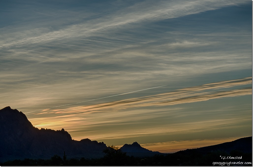
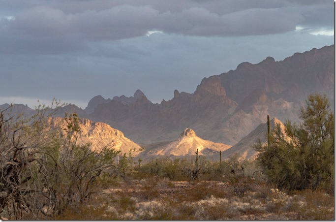
Sonoran Desert Kofa Mts last light clouds MST&T Rd BLM Kofa National Wildlife Refuge ArizonaI may have retired as a Park Ranger, however I’ll never stop loving the chance to share a place with others.  I’ve been wracking my brain how to do that and came up with Geogypsy Journey, at least for now.  Tell me what you think.  The idea is to join with others in nature, immerse in the environment, and share a landscape experience.  Honestly, this could be done all over the world.  However, I’d like to start with a place dear to me during winter months when I’m boondocking in my truck-camper.  The Kofa National Wildlife Refuge encompasses 665,400 acres of wild and wonderful Sonoran Desert at least partially surrounded by BLM (Bureau of Land Management) managed public lands.
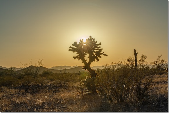
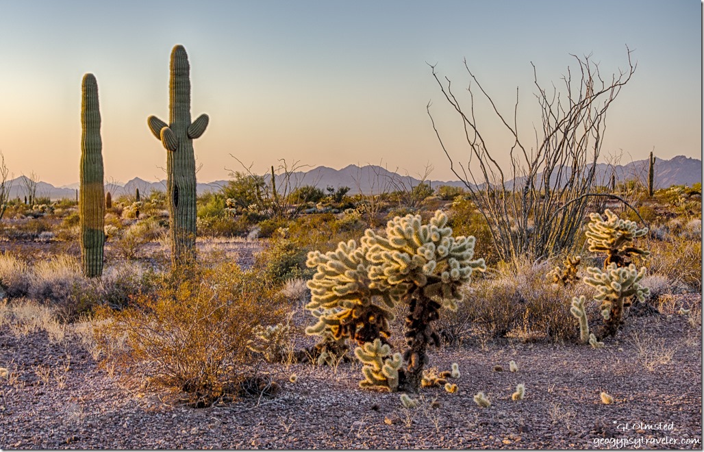
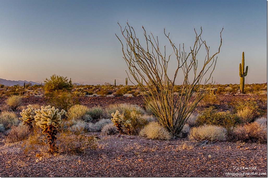
cholla sunburst desert mts last light Palm Canyon Rd Kofa National Wildlife Refuge ArizonaOnly light dares to touch the Cholla cactus

Right now, holidays are keeping people busy yet many are thinking of a vacation getaway after the first of the year. I love to see people traveling safely and would like to suggest a winter camping runaway to the apricity—warmth of the sun in winter—in the southern Arizona desert. Time to connect with nature. As the temperatures drop in the north, that’s where I’ll be and you should join me for a Geogypsy Journey.
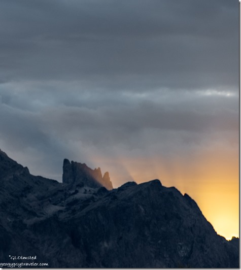
Kofa Mts sunrise sun rays clouds Palm Canyon Rd BLM Kofa National Wildlife Refuge ArizonaSunrise over the Kofa Mountains

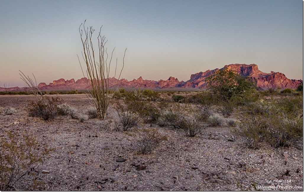
The rugged Kofa Mountains provide an amazing backdrop to the Sonoran Desert plus comfortable winter temperatures (60/40° averages), and amazing light from sunrise to after sunset, plus under the moon. Sometimes clouds enhance the mid-day shadows in this unique environment and even the tiniest life in the desert holds intrigue. After many years of exploration, I’d like to share this piece of desert and what I know about the cultural history, geology/rockhounding, ecology, wildlife, birdwatching, and light for photography.
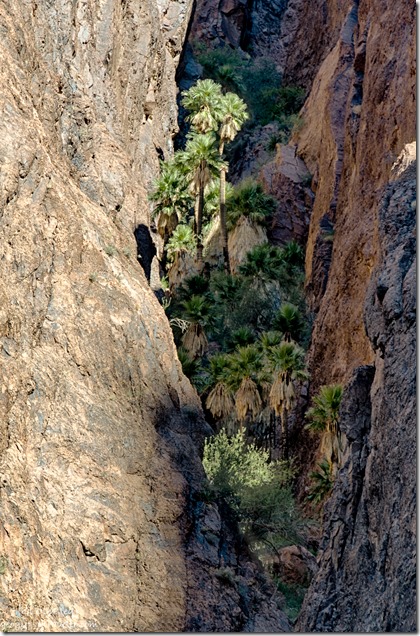
California Palms light Palm Canyon Trail Kofa National Wildlife Refuge ArizonaArizona Palms, Kofa National Wildlife Refuge

I propose meeting in the BLM desert south of Quartzsite, Arizona, Sharing the Kofa Light with a landscape immersion over 3-5 days using our senses and creative juices to experience the awe of this place.  A campout, desert walkabout, Palm Canyon hike, and other possible local attractions. We will enjoy a safe place to camp* on public lands under dark skies.  Donation $100/day/person, refundable up to $100, for coordinating this experience over no more than five days. Group size will be limited to six people. Cell signal is not reliable in camp.
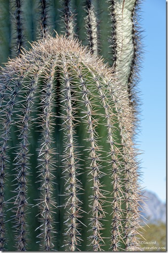
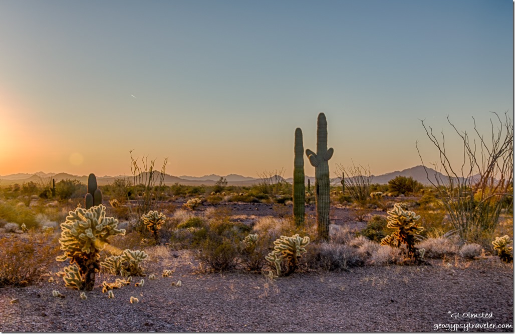
Saguaro cactus Kofa Mts BLM Kofa National Wildlife Refuge ArizonaParticipants are responsible for their own food and beverage, transportation, and accommodation onsite or offsite (tent, RV, Quartzsite 30 minutes north, Yuma 60 minutes south, Blythe 45 minutes west, Phoenix 2 ½ hours east). Camp will be free off-grid *boondocking on public lands, show respect and Leave No Trace. You will need to provide a contact’s information and sign a waiver as I am not responsible for accident, injury, or theft.  I do encourage you to be careful.
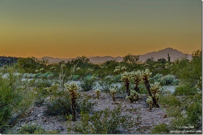
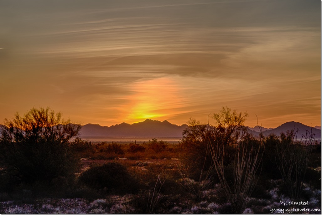
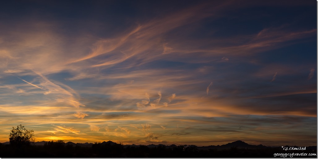
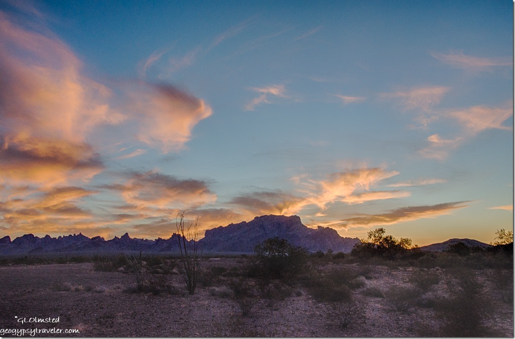
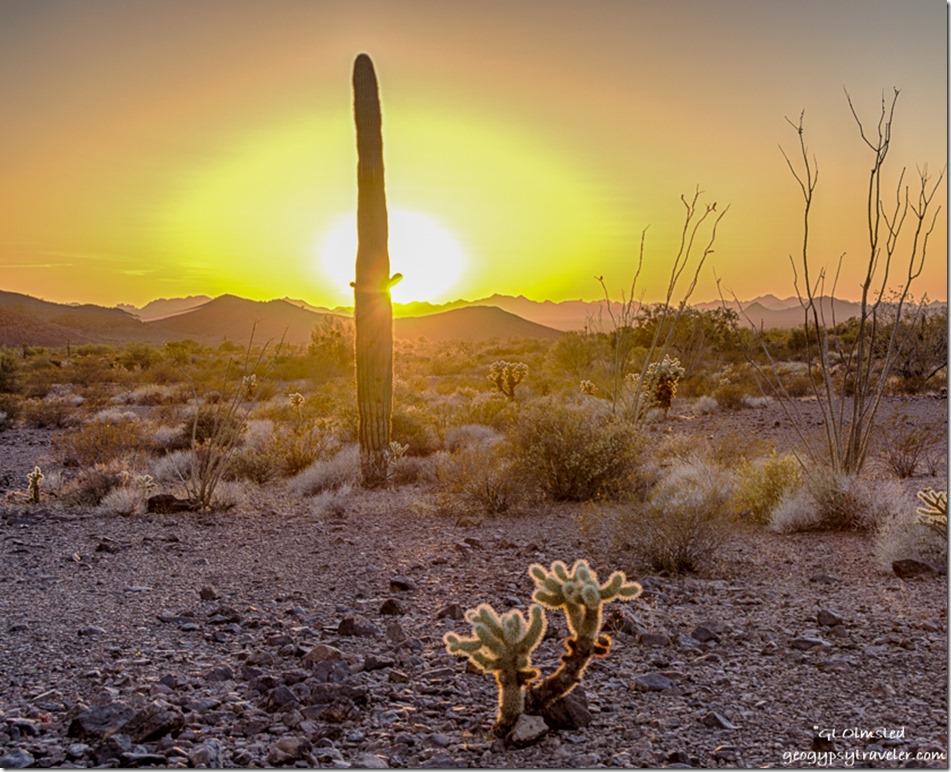
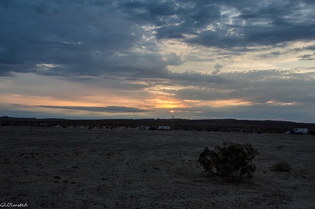
Sunset from Palm Canyon Road KOFA National Wildlife Refuge ArizonaSunset over the Sonoran Desert

Bring your stories, camera, paints, journal, musical instrument, dancing shoes and hiking boots, imagination, or whatever you choose. Mostly, bring yourself with an open fresh perspective on life, eager to learn and share.
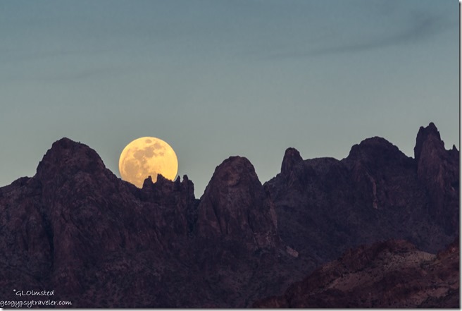
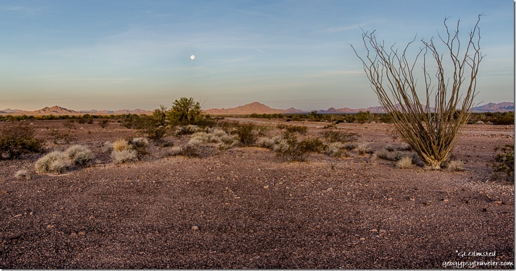
Kofa Mts moon rise Kofa National Wildlife Refuge ArizonaFull moon rise over the Kofa Mountains

If you are interested, please let me know, and pass the word. I will answer questions and provide more information. I am currently thinking mid-January (full moon 17th) and mid-February (full moon 16th), but am open to additional dates and suggestions.
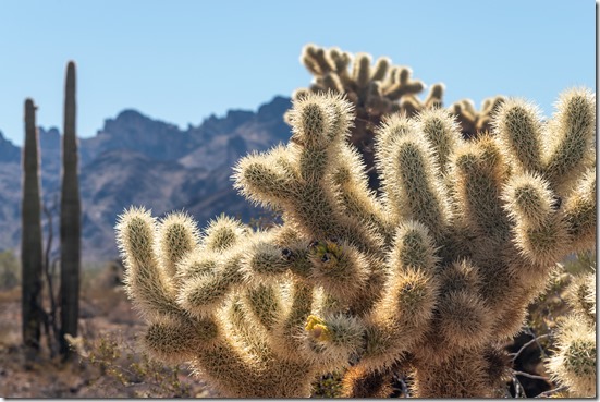
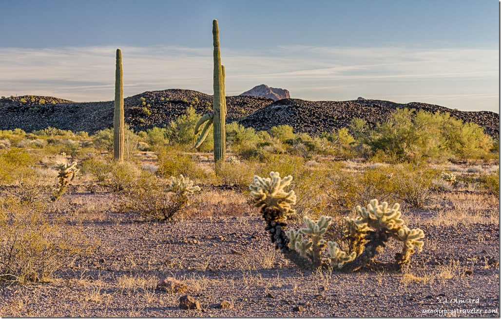
08 DSL_2394le Jumping Cholla & Saguaro cactus Kofa Mts MST&T Rd Kofa NWR AZ fb as g g-1Beware the Jumping Cholla cactus

Be aware: The Big Tent RV Show Quartzsite, January 22-30 draws a crowd.  Plus there are many activities going on in Quartzsite.
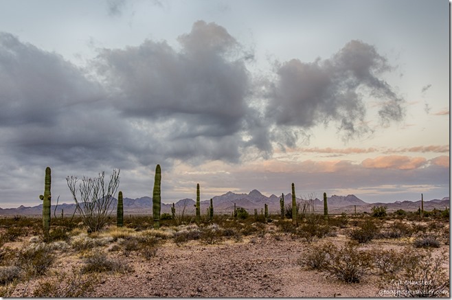
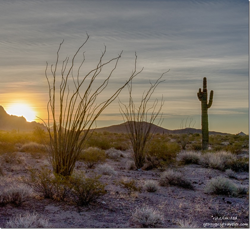
Saguaro Ocotillo Sonoran Desert Chocolate Mts W view clouds reverse sunrise King Valley Kofa National Wildlife Refuge ArizonaReverse sunrise Sonoran Desert and Chocolate Mountains

I’d also like to take Geogypsy Journey further when I camp in other places along my travels and include presentations about a variety of topics, mostly nature, national parks, or RVing, because that’s my thing as you know.  I might travel in your neighborhood and would love to see your favorite natural places.  I am working on a plan for summer travels north and east.  Some of you are already on my list and hopefully more will be added.
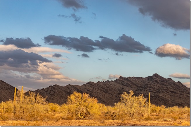
Sonoran Desert New Water Mts light & shadow sunset clouds MST&T Rd BLM Kofa National Wildlife Refuge ArizonaLight and shadows on the New Water Mountains

In the meantime, think about joining a Geogypsy Journey in the Sonoran Desert Sharing the Kofa Light in January or February 2022.  Let’s go camping and explore the land and the light.

*Boondocking – defined as camping off the grid without being plugged into city water, sewer, and electricity, however, that does not necessarily mean going without those things and instead using propane, holding tanks, solar power, and conservation. Also known as “dispersed camping” on public land means up to 14 days in the same location. This gives you a bit of time to get to know a place.

I have no affiliation to the US Fish & Wildlife Service, Bureau of Land Management, or any other public lands agency.  This is just me sharing with you as I dearly love to do.

Happy Solstice!
Yea the days get longer and there will be more light!


Push my buttons!
  • Click to share on Facebook (Opens in new window) Facebook
  • Click to share on X (Opens in new window) X
  • Click to share on LinkedIn (Opens in new window) LinkedIn

Like this:

Like Loading...
Arizona, Geogypsy Journey, Kofa NWR environment, landscape, nature, nature immersion, Palm Canyon, sharing nature, Sonoran Desert 22 Comments
08 February 2018

Kofa NWR-sunrise, sunset, the moon, and hike Palm Canyon

desert late light Kofa NWR ArizonaThe day after photographing the super blue blood lunar eclipse from the Kofa NWR (National Wildlife Refuge) friends left and I continued to watch the sky and hang out in the desert.

desert sunrise Kofa Mountains Kofa NWR ArizonaSunrise

First morning of February, I found myself turning back and forth 180° as the sun rose over the Kofa Mountains and the moon set over the Dome Rock Mountains.

desert sunset Dome Rock Mountains Kofa NWR ArizonaSunset

Back at it for sunset then early to bed from the way too early morning the day before.

sunrise Kofa Mountains Kofa NWR ArizonaSunrise

I’ve spent daytime absorbing the peace and quiet of the desert.  Didn’t see much wildlife, a few birds including a soaring red-tail hawk, scat from coyote and deer, and one night eye-shine from my headlamp not more than 10 inches off the ground disappeared behind a creosote bush about 50 feet away.

desert moonset Dome Rock Mountains Kofa NWR ArizonaMoonset at sunrise

Second day of February I’m still at it, up for sunrise and in time to see the moon yet too bright by the time it sets.  Groundhog day for Punxsutawney Phil in  Pennsylvania while here in Arizona the cactus saw a tall shadow so that could mean six more weeks of winter.  But it’s been feeling more like spring at 80°/50°F.  So even though I’m loving that weather I’m hoping for winter.

sunset Dome Rock Mountains Kofa NWR ArizonaSunset

Tom showed up late Friday afternoon just in time for sunset.  Saturday we hung out in camp and watched the world go by as we chatted about any number of topics and watched contrails crisscross across the clear blue sky.

entering Palm Canyon trail Kofa NWR ArizonaSunday we hiked the Palm Canyon trail located just up the road from camp.  Was almost a year ago to the day I hiked this trail for the first time.  It’s in the shade so cool enough I was glad to have grabbed a lightweight long-sleeved shirt.

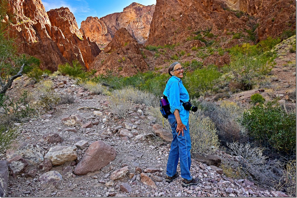
Gaelyn Palm Canyon Kofa NWR Arizona by T Morse

Gaelyn heads up Palm Canyon Trail by T. Morse

The .5 mile hike is fairly easy with a few areas of boulder climbing and only a small gain in elevation.  Saw a lot of folks with trekking poles which I usually consider a bother when taking photos.  One couple told us where to look for bighorn sheep but even with binoculars we didn’t see sheep.

California Palms side canyon from Palm Canyon trail Kofa NWR ArizonaCalifornia Palms light Palm Canyon Trail Kofa NWR Arizona

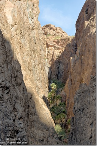
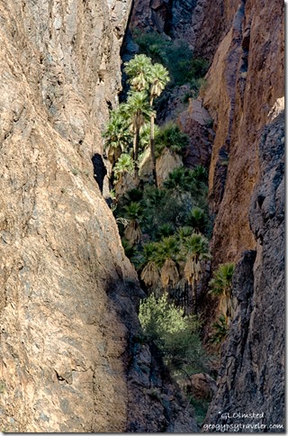
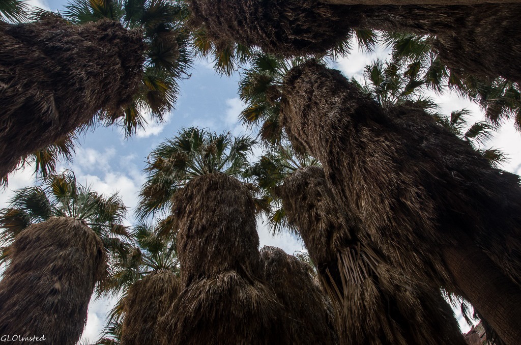
Arrived to the sign pointing to the side canyon where the palms grow and fortunately didn’t wait long for the afternoon light to shine on the palms.  These California Fan Palms, Washingtonia filifera, are perhaps the only native palm trees in Arizona.  Because palm trees do not produce annual growth rings it’s very difficult to say how old the trees might be.

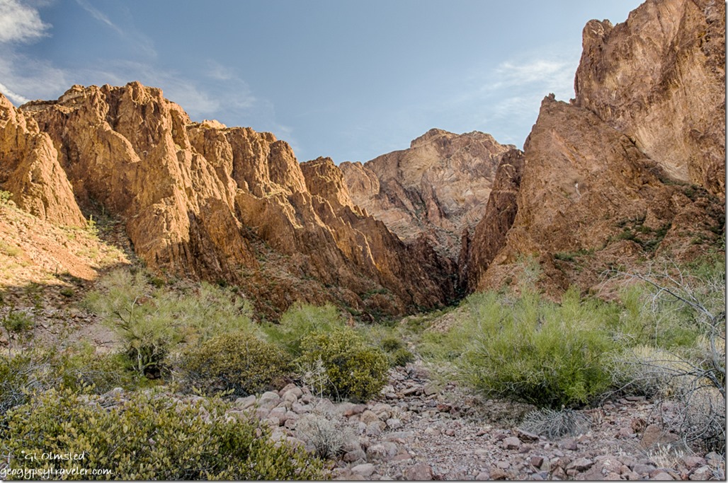
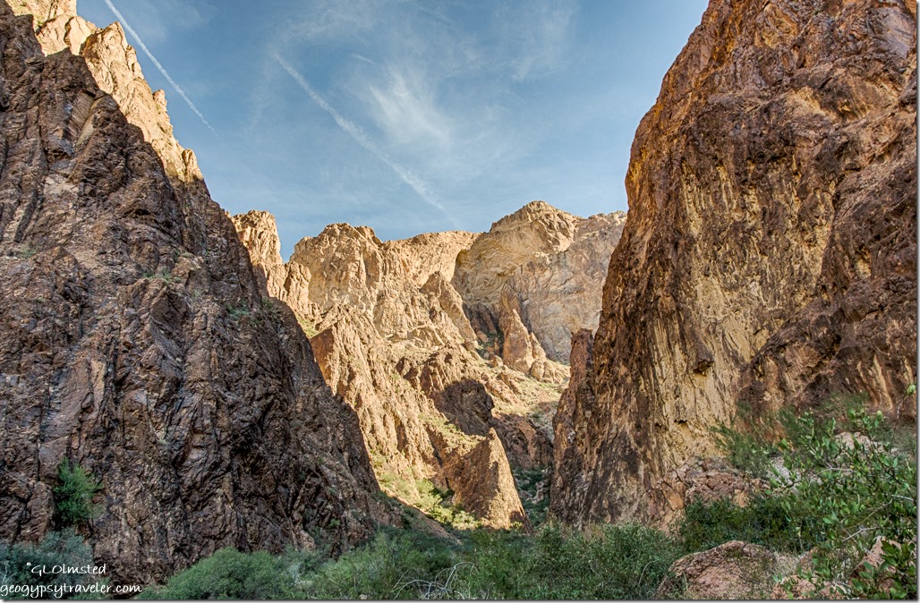
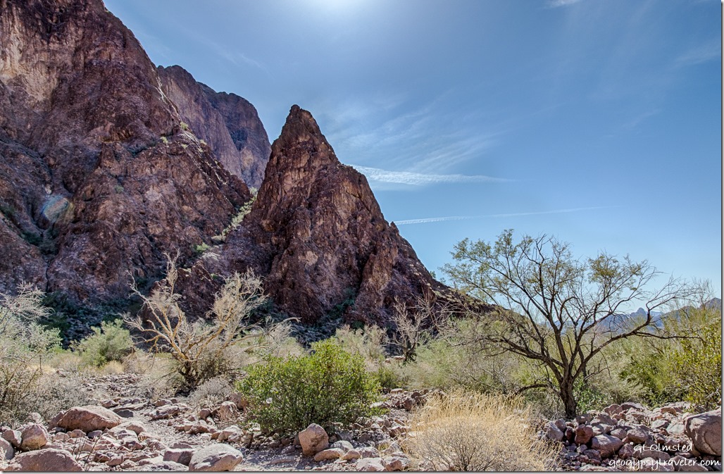
Kofa Mountains up canyon Palm Canyon trail Kofa NWR ArizonaWater erosion through the volcanic rhyolite rock formed Palm Canyon.

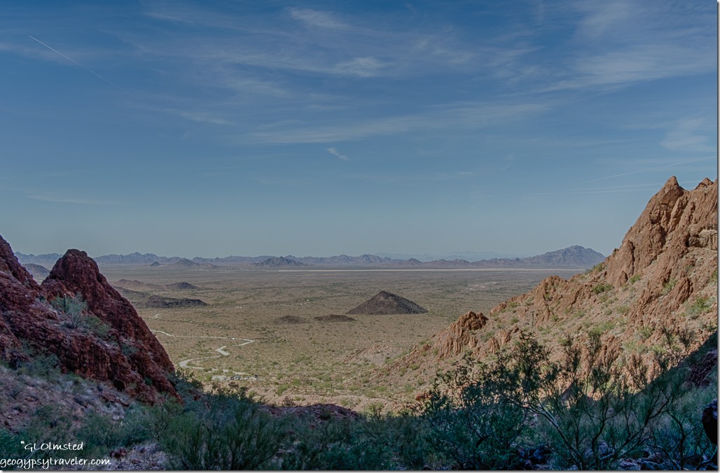
La Posa Plain Dome Rock Mountains from Palm Canyon trail Kofa NWR ArizonaOn the return hike we looked across the La Posa Plains to the Dome Rock Mountains 30 miles away.

desert Kofa Mountains Kofa NWR ArizonaAlthough there aren’t that many RVs around and people are good about leaving space it seems they are in sight so I try to hide them behind trees like Palo Verde and Ironwood.

Kofa Mountains sunrise Kofa NWR ArizonaMonday greeted us with a marvelous sunrise.

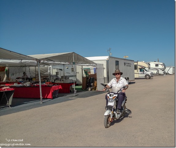
Tom riding electric scooter Quartzsite ArizonaWe walked through a lot of vendors in Quartzsite and of course I found a few more things I didn’t know I could live without.  Tom test drove an electric scooter he thinks would be a fine addition on the back of his motorhome.

desert Dome Rock Mountains late light Kofa NWR ArizonaThat evening we drove toward the Kofa mountains with several stops to enjoy the golden hour.

sunset desert Dome Rock Mountains Kofa NWR ArizonaThe Sonoran Desert can be a prickly place to walk and you have to be cautious of the jumping cholla whose spines show no mercy.

sunset desert Kofa NWR ArizonaYet their glow in the late afternoon light beckons one in.

Tom left Tuesday morning and I’m still here.  Saturday marks my 14-day limit.  I’m concerned about the possible government shutdown Friday so not sure where to go.  Had been planning (a mistake) to visit some friends volunteering at Casa Grande National Monument but don’t want to get caught off guard.  I might be able to hang out nearby a bit longer but will have to dump and fill in a few days.  Also need a grocery run which is not great in Quartzsite but there’s a Safeway in Parker.

Palm Canyon trail Kofa NWR ArizonaWhere is it

East side of US Highway 95 approximately 63 miles north of Yuma and 18 miles south of Quartzsite, Arizona near milepost 85.  Sign reads Palm Canyon and the gravel road is usually in pretty good shape, a little rough, but could be nasty after rain.  Seven miles to parking for Palm Canyon Trailhead.

sunset desert Dome Rock Mountains Kofa NWR ArizonaSunset

Camping is pretty close to the gravel Palm Canyon Road both on BLM and the NWR.  Lots of vehicles drive fast and if the wind is blowing your way it gets damn dusty.  It’s free camping for 14 days with absolutely no services.  Bring plenty of water.  Do not drive over or park on vegetation.  In the NWR I saw signs about no vehicles beyond a line of rocks not far from the road.  Good signal with Verizon usually 4G with 3-5 bars.

Push my buttons!

  • Click to share on Facebook (Opens in new window) Facebook
  • Click to share on X (Opens in new window) X
  • Click to share on LinkedIn (Opens in new window) LinkedIn

Like this:

Like Loading...
Arizona, Kofa NWR, Places I've been, United States hike, moon, Palm Canyon, photography, sunrise, sunset 12 Comments
12 January 2015

Hike to Palm Canyon Anza-Borrego

The gift of water brings life and death to the desert which is evident along the hike to Palm Canyon Anza-Borrego Desert State Park.  The average rainfall here is 6 inches and the recent snowfall only happens about every 10 years said Nancy who’s lived and hiked in the San Diego area over 30 years.

Sunrise Anza-Borrego Desert State Park CaliforniaNo rush Thursday as I watched the sunrise but I had chores, dump and fill holding tanks, after three weeks of boondocking, at the Palm Canyon campground in Anza-Borrego State Park.  The day use fee of $7 meant I could stay in the area for the day so I decided to hike Palm Canyon where the creation of the park began in the 1930s with the protection of this palm-filled canyon.  Palm canyon cuts through the San Ysidro Mountains just west of Borrego Springs.

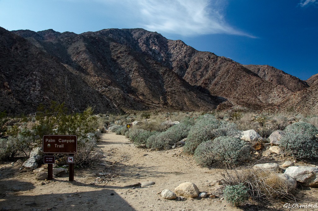
Palm Canyon trail head Anza-Borrego Desert State Park California

Rocky steps Palm Canyon trail Anza-Borrego Desert State Park California

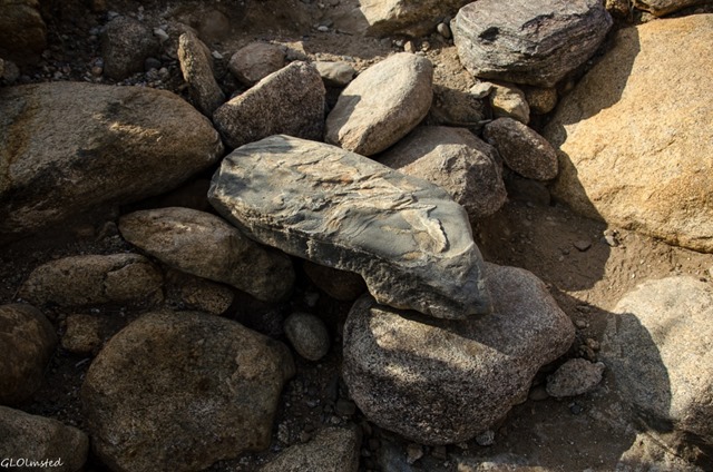
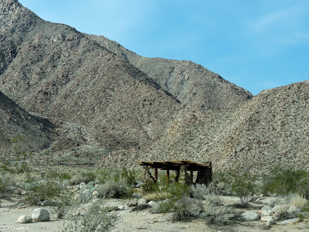
CCC built shelter Borrego Palm Canyon campground Anza-Borrego Desert State Park CaliforniaThe trail is pretty easy mostly walking in a wash with not too soft of sand, some minor steps up rocks moved here by water and some likely placed by the CCC during the 1930s.   There are also some stone structures in the campground they built.

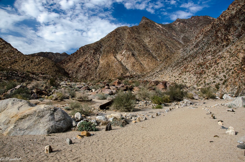
Palm Canyon trail Anza-Borrego Desert State Park CaliforniaThis obviously well maintained trail is marked with stone and wood plus numbered poles corresponding with information in the trail guide.

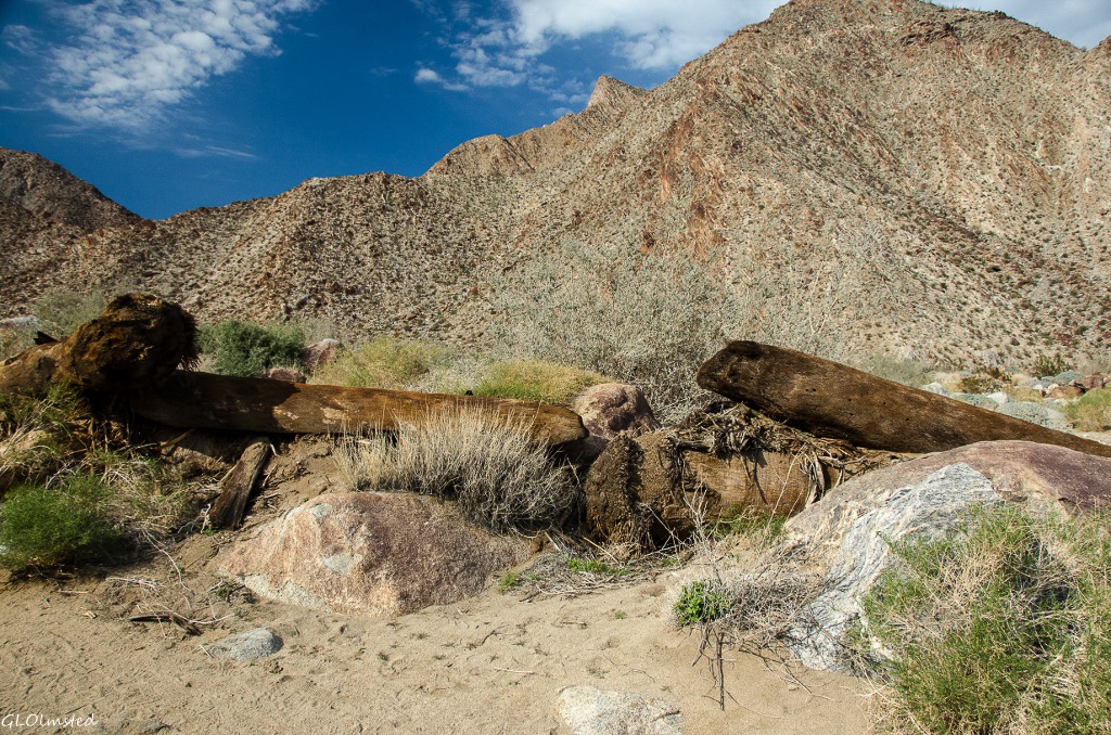
Palm trunks in wash Palm Canyon trail Anza-Borrego Desert State Park CaliforniaHowever I wouldn’t want to walk this wash trail after heavy rain, especially during July and August monsoon.  The power of water is quite evident having brought death to weak and old trees during a raging flood that ripped shallow roots from a tenacious hold leaving scattered palm trunks behind.

Tilted & varnished rock Palm Canyon trail Anza-Borrego Desert State Park California

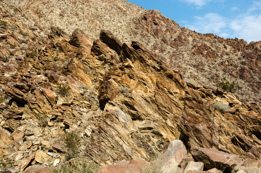
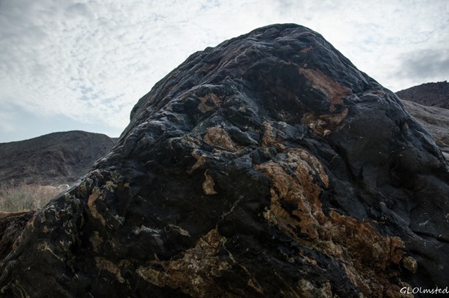
Desert varnish Palm Canyon trail Anza-Borrego Desert State Park CaliforniaThe mountains of rock that tower above the canyon show how geologic forces have tipped and eroded the ancient metamorphic layers into sharp fins.  The desert varnish is actually a thin coating of microscopic bacteria colonies that take on a blackish or reddish color by absorbing manganese and iron from the atmosphere.  Giant boulders from above eventually break loose to bounce and roll into the wash where water smooths and moves them down stream like rearranging nature’s furniture.

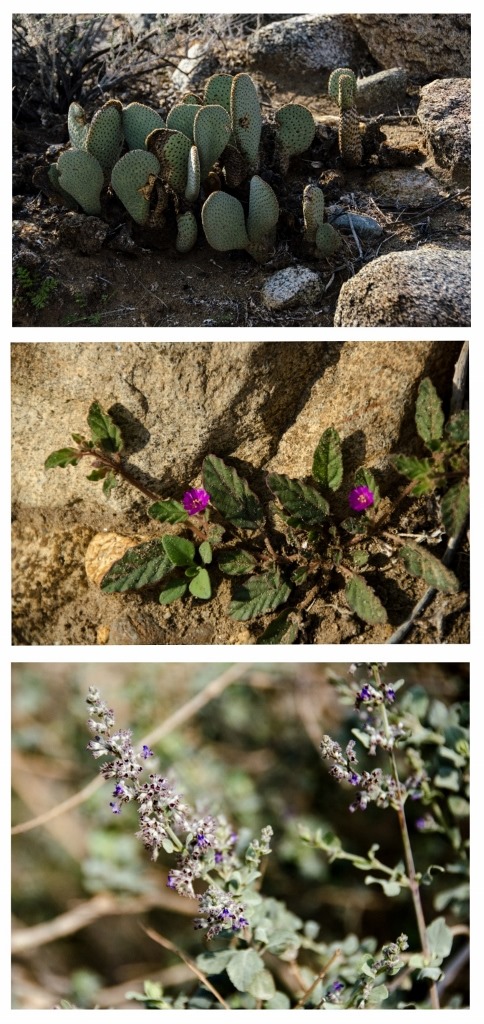
Dead ocotillo leaves Palm Canyon trail Anza-Borrego Desert State Park CaliforniaFor being a desert the plant life looks healthy, abundant and diverse.  Of course there is always a lot of creosote bushes, some even showing their tiny yellow flowers and fluffs of seed pod.  The amazing ocotillos with fountain like stalks showed leaves that burst out within 24 hours of rain, be full grown in 5 days and then after a month of dry weather the leaves drop until the next life giving water falls.

Beavertail cactus, unknown & desert lavender bush Palm Canyon trail Anza-Borrego Desert State Park California

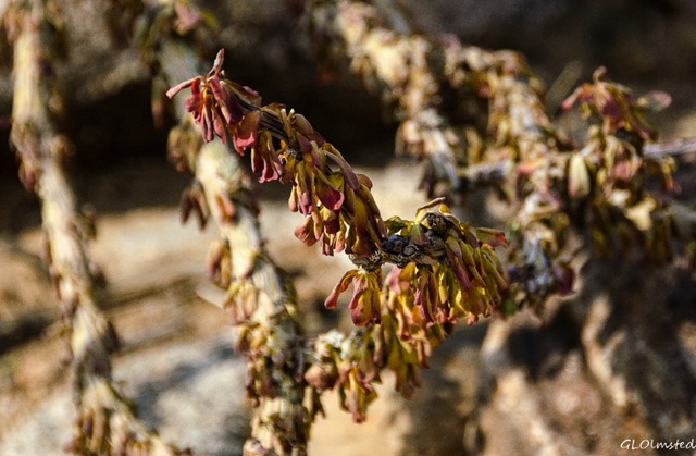
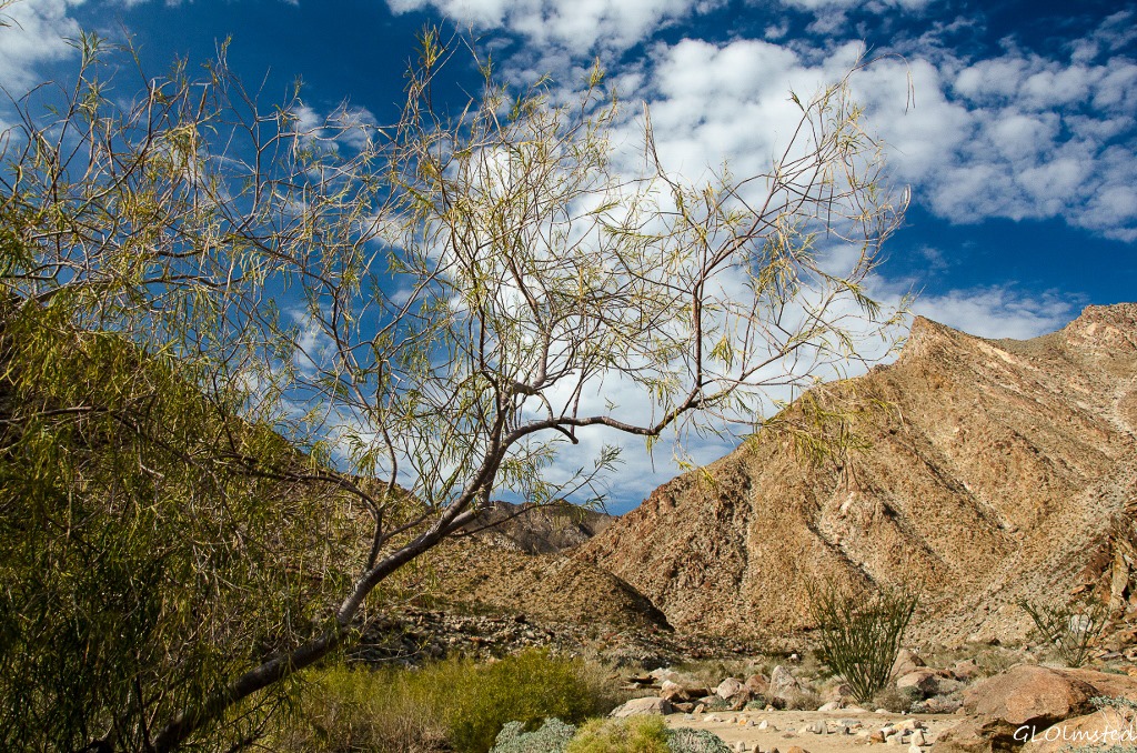
Desert willow Palm Canyon trail Anza-Borrego Desert State Park CaliforniaObserve the beavertail cactus and cholla from a distance as they bite.  The desert lavender bush a buzz with bees.  A desert willow which sometimes sends roots 60 feet into the rocky earth in search of water.  Sadly, mistletoe growing in some kind of mesquite.  A bush I do not know with sparse, red tubular flowers that attract hummingbirds to quick for my shutter.

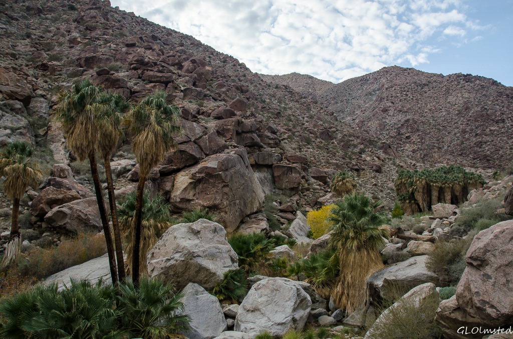
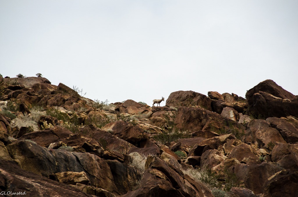
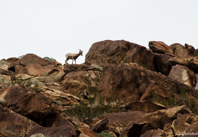
Palm grove Palm Canyon trail Anza-Borrego Desert State Park CaliforniaI saw several lizards scoot under rocks and numerous mounds built by the industrious harvester ants.  I didn’t see coyote or mountain lion and it was thankfully too cool for tarantulas, scorpions or snakes.  I really wanted to see the endangered Bighorn Sheep protected in the park and several hikers returning down the trail told me to look up high on the mountainous canyon walls to the east when I got to the palm grove.

Bighorn Sheep Palm Canyon trail Anza-Borrego Desert State Park California

Bighorn Sheep Palm Canyon trail Anza-Borrego Desert State Park CaliforniaAnd sure enough, within sight of the grove, I came upon some hikers looking up.  The sheep are difficult to see as they blend in with the rocks until you see the movement of a white butt.  I felt honored to see three of them and get this silhouette shot of a collared ewe or young ram standing on the ridge line.  The 44th Annual Sheep Count lasted 4 days in early July 2014 with I SEE EWE Volunteer Sheep Counters tallying 265 bighorn organized by Anza-Borrego Foundation, partners with the park.  The 2013 count totaled 332, the second largest count to date with the record for most sheep counted at 356 in 2009.

Stream crossing Palm Canyon trail Anza-Borrego Desert State Park California

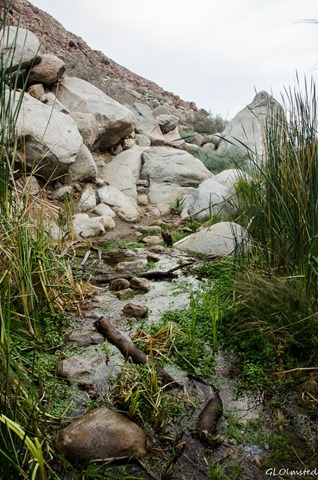
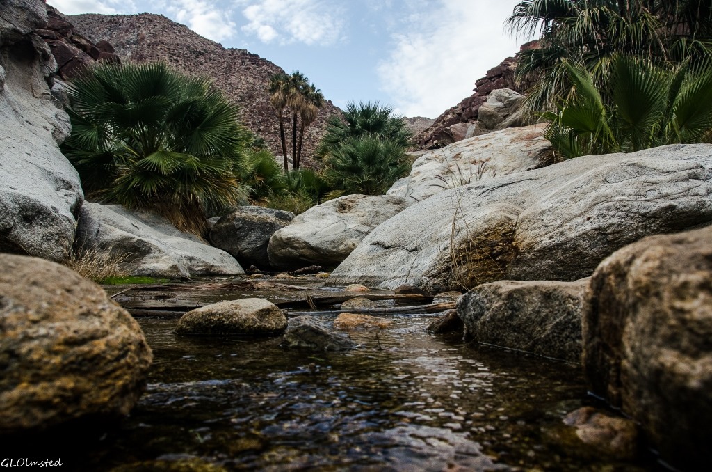
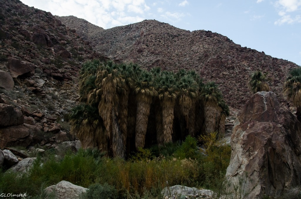
Palm Canyon Anza-Borrego Desert State Park CaliforniaI almost chickened out (silly I know) when I got to a stream crossing below the palm cluster then watched a couple of other hikers easily step-stone across and followed.  Sure glad because this palm grove proved to be a mini-world all it’s own.  Water is such a special gift in the desert.

Palm grove Palm Canyon trail Anza-Borrego Desert State Park CaliforniaThe groves of palms often grow along earthquake faults that allow water to seep towards the surface.  The frond skirts protect the bark from water loss and insect predators.

Palm grove Palm Canyon trail Anza-Borrego Desert State Park CaliforniaI should have gotten an earlier start so I could stay longer in the grove but the sun was low and clouds were sheeting in.  I read about a far less traveled track that continues up Borrego Palm Canyon toward seasonal waterfalls and an ascent trail to Indianhead Mountain but that would have to wait for another hike.

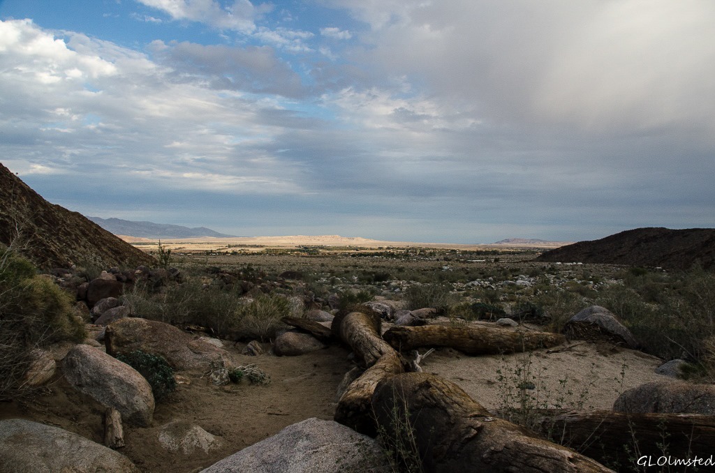
Borrego Springs valley from Palm Canyon trail Anza-Borrego Desert State Park CaliforniaI didn’t have time to scramble around on boulders looking for morteros left behind from early residents grinding seeds and leaving holes behind.  Yet the Cahuilla Indians understandably chose Palm Canyon for a village site because of the flowing stream and shade brought from the canyon walls.

Sunset Anza-Borrego Desert State Park CaliforniaI took two hours to get to the Oasis and just under 45 minutes to return.  Then a quick stop at the grocery store and back to camp just before dark.  I have such huge respect for the power of water, especially in such an arid land.

Some specifics

Anza-Borrego Desert State Park day use fee was $7.  The trail is located just north of the park visitor center.  Just drive through Borrego Palm Canyon Campground, the largest developed campground in the park, to trail head parking.  Allow at least two hours round trip for this moderate 3-3.25 miles with 450 feet change in elevation.  An alternate trail branches off from, or to, the campfire area.  This trail is NOT dog friendly.  A trail guide is located at the trail head.  Bring plenty of water.  Stay on the trail, it really is a fragile environment.

Push my buttons!

  • Click to share on Facebook (Opens in new window) Facebook
  • Click to share on X (Opens in new window) X
  • Click to share on LinkedIn (Opens in new window) LinkedIn

Like this:

Like Loading...
Anza-Borrego, California hike, Palm Canyon 25 Comments

Hi, I’m Gaelyn, the Geogypsy

I retired after 29 summer seasons as a Park Ranger, traveling solo for 40+ years. My passions include travel, connecting to nature, photography, and sharing stories.

I started exploring US National Parks in 1977 and 20 years later became a seasonal Park Ranger.  I’ve lived full-time in a RV for 30 years working summers and playing winters.  I’m still trying to figure out what I want to be when I grow old, other than grow up.

Let’s share our stories.  Here’s more of mine…

My wheeleastate

I am currently…

…boondocking somewhere in southern Arizona.  In the area, give a shout.

Geogypsytraveler on YouTube

Follow my journey on YouTube. Just click the pic. Hope you’ll like, share, and subscribe.

Click image for 7 minute documentary (Password “geogypsy” lowercase)

Making the Gypsy documentary is a story of its own.  Click below for the rest of the story.

Living nomadically & connecting to nature documentary

Subscribe to Blog via Email

Enter your email address to subscribe to this blog and receive notifications of new posts by email.

Photos available for sale include prints, greeting cards, coffee mugs, tote bags, phone cases and more

Reflected Wave 24X16 metal print under $100

Custom Coffee Mugs

Many items to choose from including prints

The Last Blast 24 x 16″ metal print under $100

Need a signal boost? When I boondock on public lands sometimes signal is weak or intermittent and a booster helps. Click the pic to visit WeBoost.

Connecting to nature and the rest of the world too.

Please contact me for photo purchases not seen at GLOlmsted Photography

Order fulfillment is by Fine Art America. If you’re not happy with your purchase, for any reason, simply return it within 30 days, and you’ll receive a full refund of the purchase price.

Why read Geogypsy?

The gypsy life spring-summer 1998 - "You were a real pioneer. RV'ing before it was cool." ...Yogi

How do you process photos? - “Your photographs create an Emotional feeling in the viewer...that they become One with You.” …Cindy

Life’s transitions between travel and work play - "I know you love your job as much as you love travel -- it shines through all your posts." ...Sallie

Lions at Kruger National Park - “Wonderful post, thank you. I was hooked start to finish!” … Peter B

11 lessons looking back 2013 - “A great post -- made me think, made me smile, made me want to cry." ...Sallie

Wildlife video Kruger National Park - “Gorgeous, this makes me want to go straight to South Africa now.” … Ayngelina

Living nomadically & connecting to nature documentary - “What an experience you had and gave to the "crew." Sometimes I think you don't realize how unique and inspiring you are.” …Alan

Search

Popular Posts

1. Prioritize the well-being of nature over photography. 2. Educate yourself about the places you photograph. 3. Reflect on the possible impact of your actions. 4. Use discretion if sharing locations. 5. Know and follow rules and regulations. 6. Always follow Leave No Trace principles and strive to leave places better than you found them. 7. Actively promote and educate others about these principles

Categories

Archives

Sites I follow, read & recommend

  • A Full-time Life
  • A Yankee in Belgrade
  • Bob's Eyes
  • Box Canyon Blog
  • Camels and Chocolate
  • Dawns bloggy blog
  • In the Direction of Our Dreams
  • Jane in her infinite wisdom
  • Janie and Steve, Utah Trails
  • Kathie's Birds
  • Las Adventuras
  • Memorable Meanders
  • Oh, The Places They Go
  • On the Road Abode
  • Port Elizabeth Daily Photo
  • Stillhowlyntravels
  • Take to the Highway
  • Technomadia
  • the good luck Duck
  • Travel with the Bayfield Bunch
  • Wandering Earl
  • Wheeling It
  • Yogi's Den

Caught in a Slot 9×12 canvas print under $50

If you don’t like what’s going on in your government, contact your Congress

Directory of Senators

Directory of Representatives

Lijit

© Copyright 2008-2024. Geogypsytraveler.com
%d