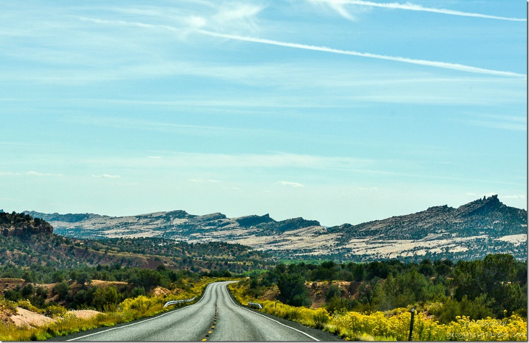
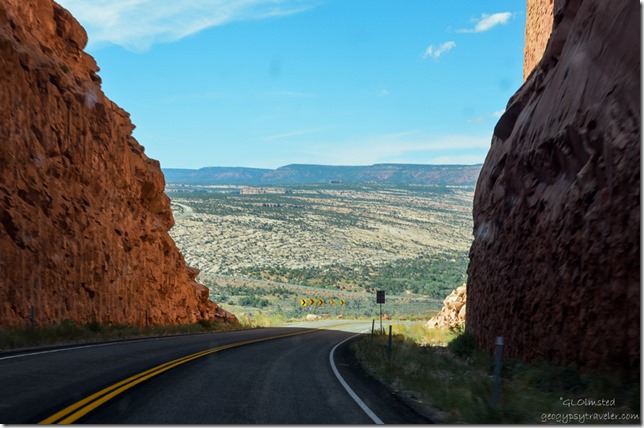
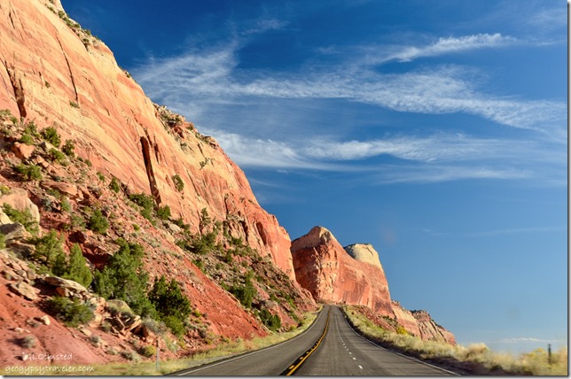
 After a walk around the ruins we left Hovenweep at noon, took a spectacular drive over Comb Ridge and across Comb Wash before arriving at Natural Bridges National Monument around 3pm, unfortunately no space at their 13-site first come first serve campground.
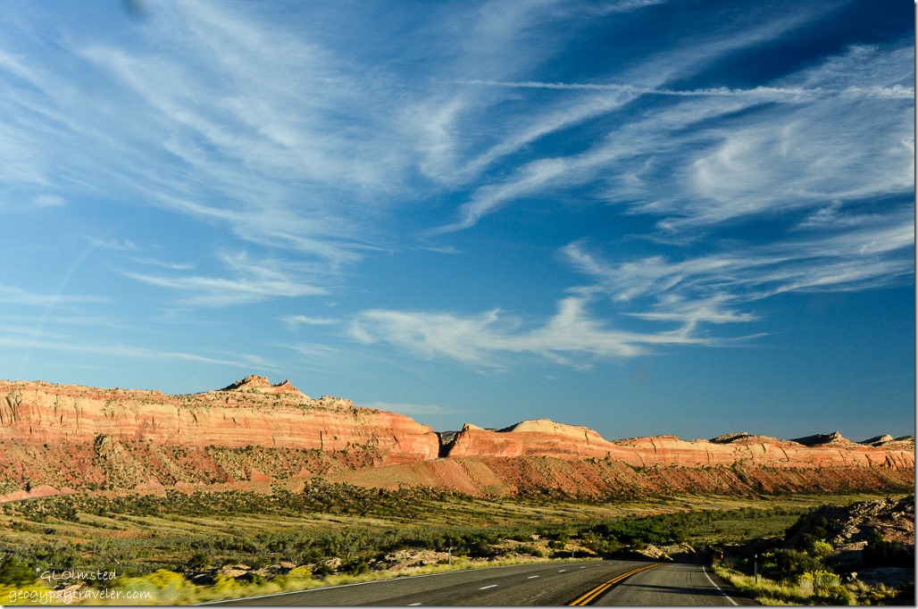
 In fact Comb Ridge will be a great place to return for future explorations for both the geology and archaeology. The towering monocline displays colorful layers of rock tilted skyward dating back to 280 million years old. Tilted at an angle of almost 20 degrees this sandstone formation is nearly one hundred and twenty miles long and one mile wide. This cataclysmic upheaval of earth in the Navajo language Tséyíkʼáán is translated as “Rock Extends in the Form of a Narrow Edge.” So much more descriptive than Comb Ridge.
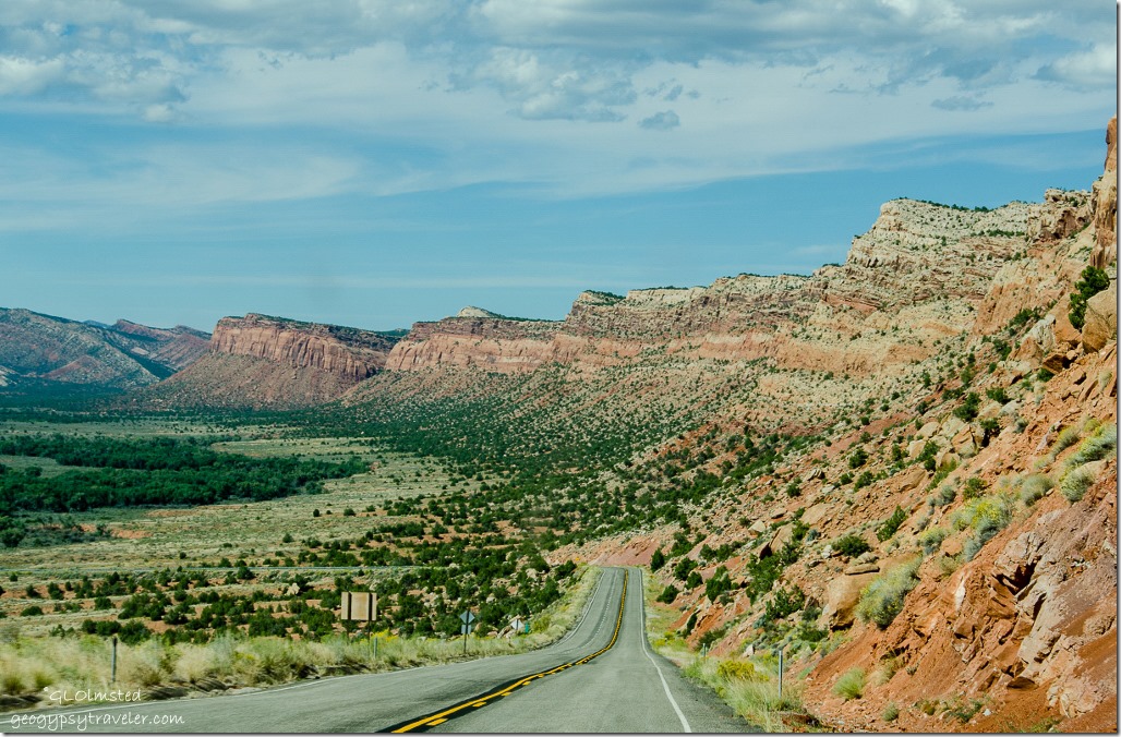 These jagged and weathered crags loom 300-900 feet above the plains.
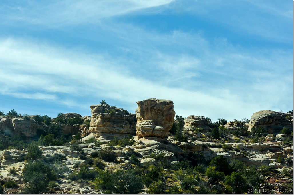 Then we descended into the northern part of Comb Wash surrounded by sculptured towers of sandstone and Cedar Mesa in the distance. Many side canyons with ancient cliff dwellings of the Ancestral Puebloans feed into the wash. Yet another reason to return.
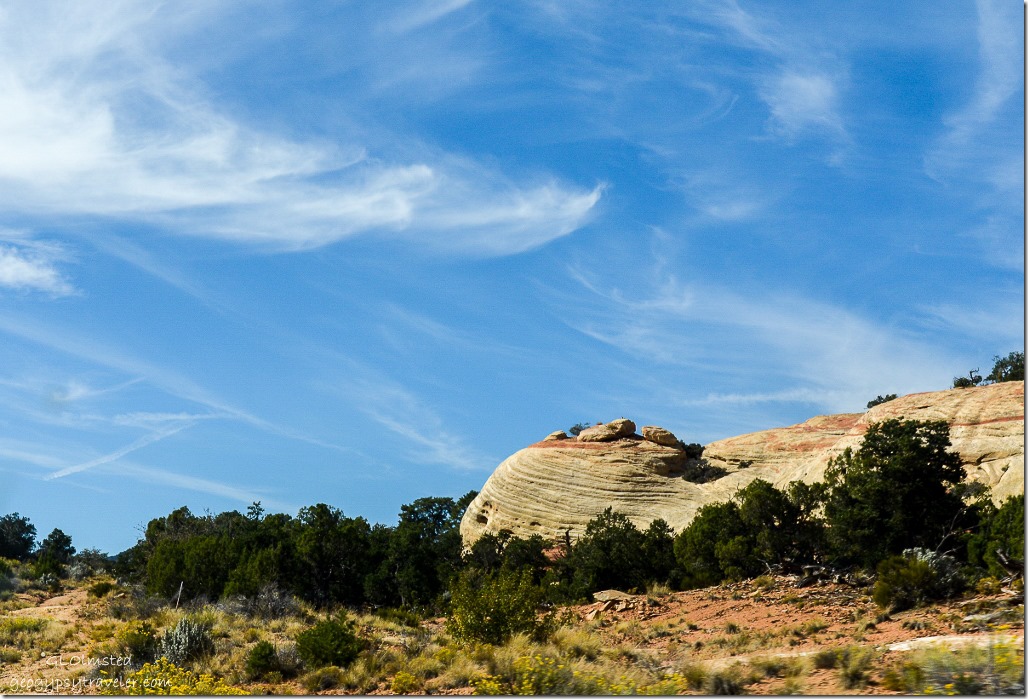 And then there’s Cedar Mesa which encompasses the park and a huge area to the south of Highway 95 where there are even more canyons and archaeology sites to explore.
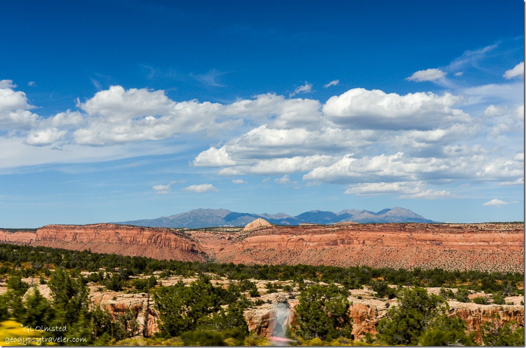 All this beauty and we weren’t even to our next stop Natural Bridges National Monument.
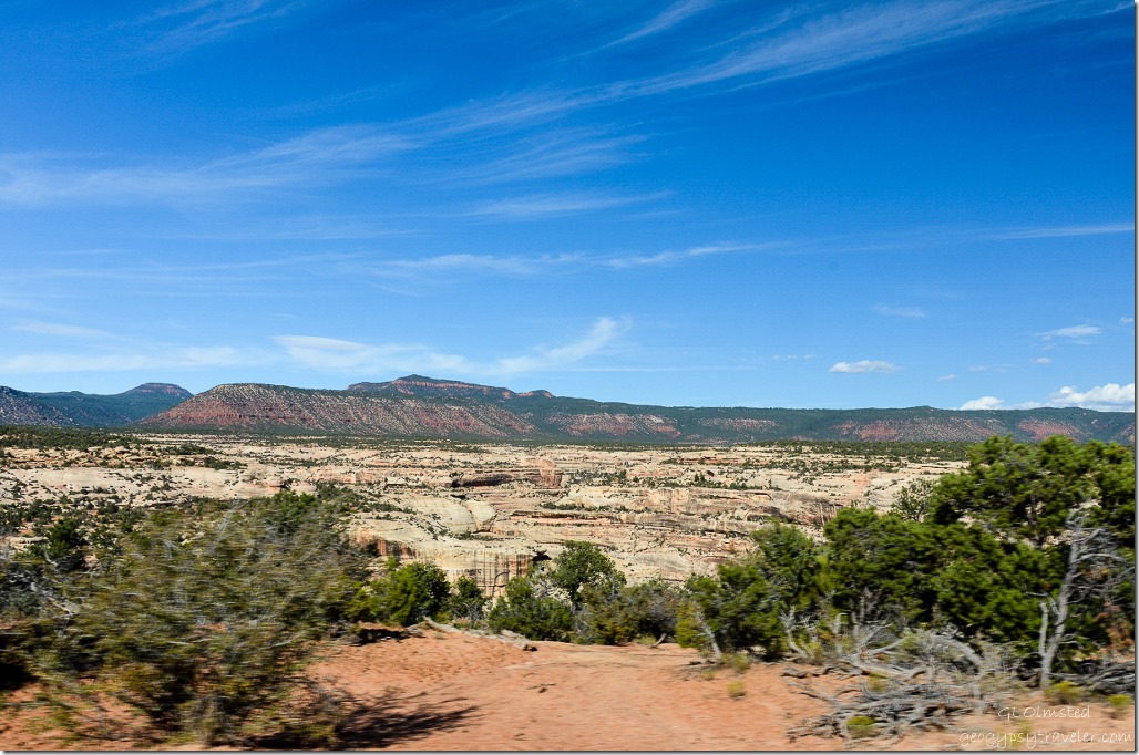 Finally arrived to Natural Bridges National Monument with a view of White Canyon. When we pulled into the Visitor Center there were at least 10 bright lime-green and purple “Juicy” rental vans in the parking lot. We were told it was a bunch of geology students. Can’t believe I forgot to take photos.
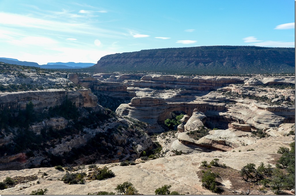 Picked up a Junior Ranger book and we took off on the 9 mile (14.5 km) paved one-way Bridge View Drive with overlooks. First stop Sipapu Bridge which from a distance wasn’t easy to spot even being the second largest natural bridge in the world (Rainbow Bridge in Glen Canyon is bigger) spanning 268 feet (82 m), 31 feet (9.5 m) wide and 53 feet (16 m) thick.
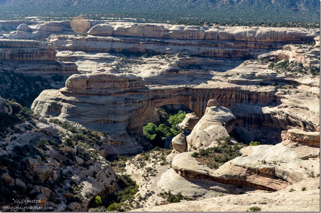 The 1.2 mile (1.9 km) Sipapu Bridge trail described as the steepest in the park including stairs, ladders and switchbacks with a 500 foot (102 m) change in elevation goes to the oak grove beneath the 220 foot (67 m) high bridge. I’d like to see it from that perspective given more time.
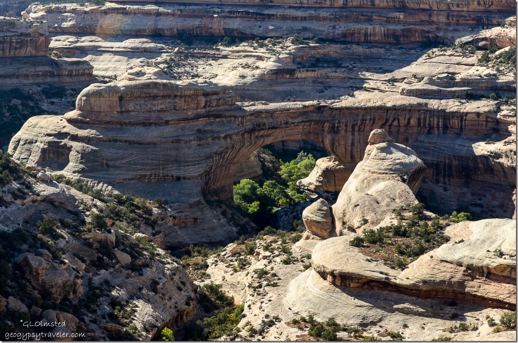 In Hopi mythology, a “sipapu” is a gateway through which souls may pass to the spirit world. But the bridge was named President in 1883 by Cass Hite a placer gold miner on the Colorado River who explored White Canyon from there. And Augusta by Horace Long who explored the region in 1904 renaming the bridge after his wife. Then in 1908, William Douglas led a government survey party to map the exact boundaries of the new national monument renaming it the Sipapu Bridge.
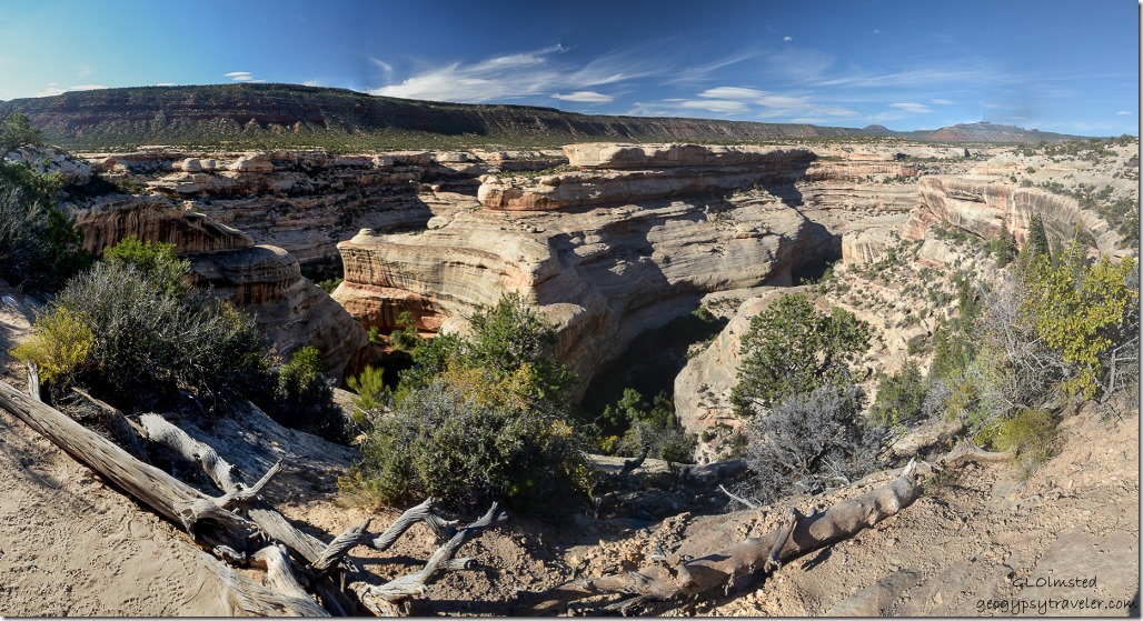 A quick stop at Horsecollar Ruin Overlook but not even down the 0.6 mi (1.0 km) walk for a better view of the cliff dwelling in a large alcove near the bottom of the canyon. We really didn’t plan enough time, plus it’s not a dog friendly place. The second, Kachina Bridge previously named Senator and Caroline, we blew off because the parking was overrun with Juicy vans.
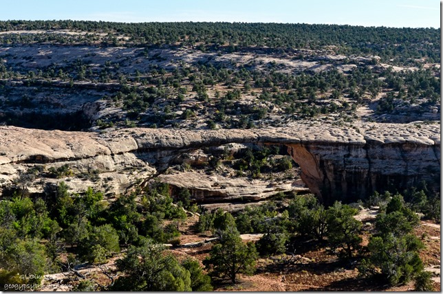
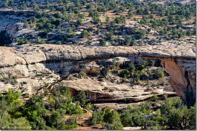 Last overlook my favorite Owachomo Bridge, considered the oldest or at least most eroded of the three bridges because of it’s narrow thickness of only 9 feet (3 m) with a span of 180 feet (55 m) and 27 feet (8 m) wide. Although the exact age of the bridges is difficult to determine due to variations in erosion rates due to climatic conditions. Does look a little precarious.
 The original road into Natural Bridges approached Owachomo Bridge, meaning “rock mound” in Hopi after the rock formation on top of the southeast (left) end of the bridge, from the opposite side ending at a campground and tent-like visitor center. Owachomo also went through name changes from Congressman and Edwin. Silly explorers.
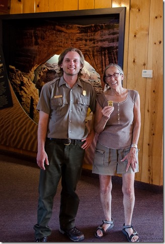 After driving the loop with quick stops at the overlooks like bloody tourists we returned to the Visitor Center where I received my Junior Ranger Badge, #19.
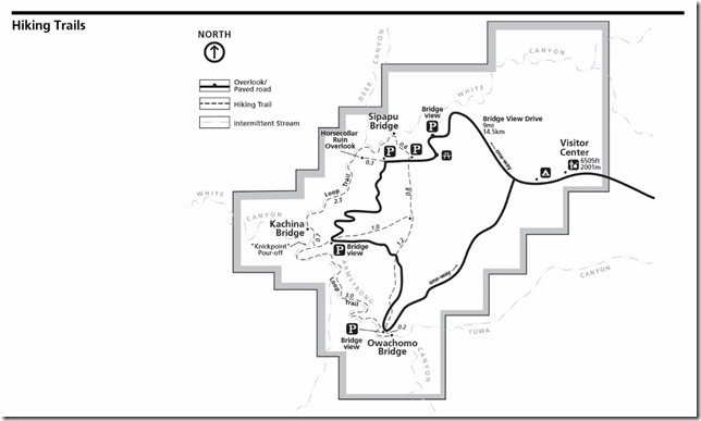 I’d like to return and hike the 8.6 mile (13.8 km) loop trail which passes all three bridges.
 With no campsites available in the monument we retraced our drive heading east back over Comb Ridge and headed to Blanding having decided to treat ourselves to a hotel for the night. Had dinner at a so-so Thai/Chinese restaurant and after taking five minutes to ‘cruise’ Blanding think it a very appropriate name for a “bland” little town. Yet a comfortable bed and long hot shower set us up for our next day’s explorations over Elk Ridge to The Needles in Canyonlands National Park.

