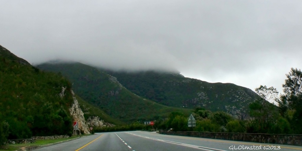
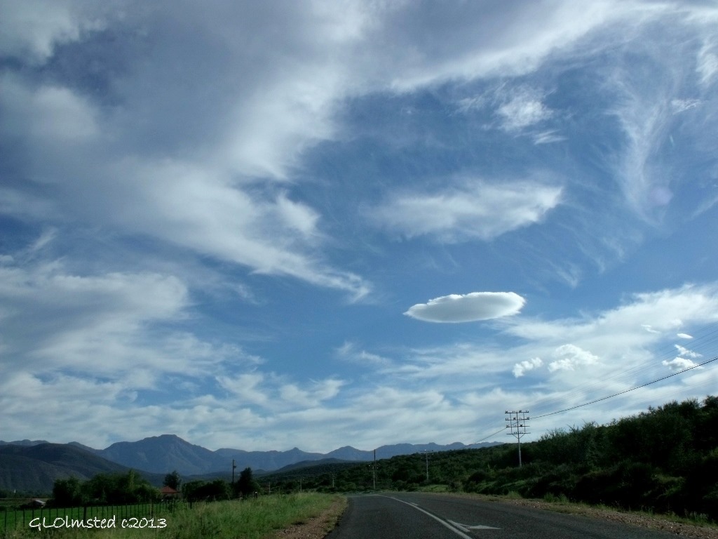
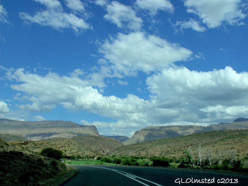
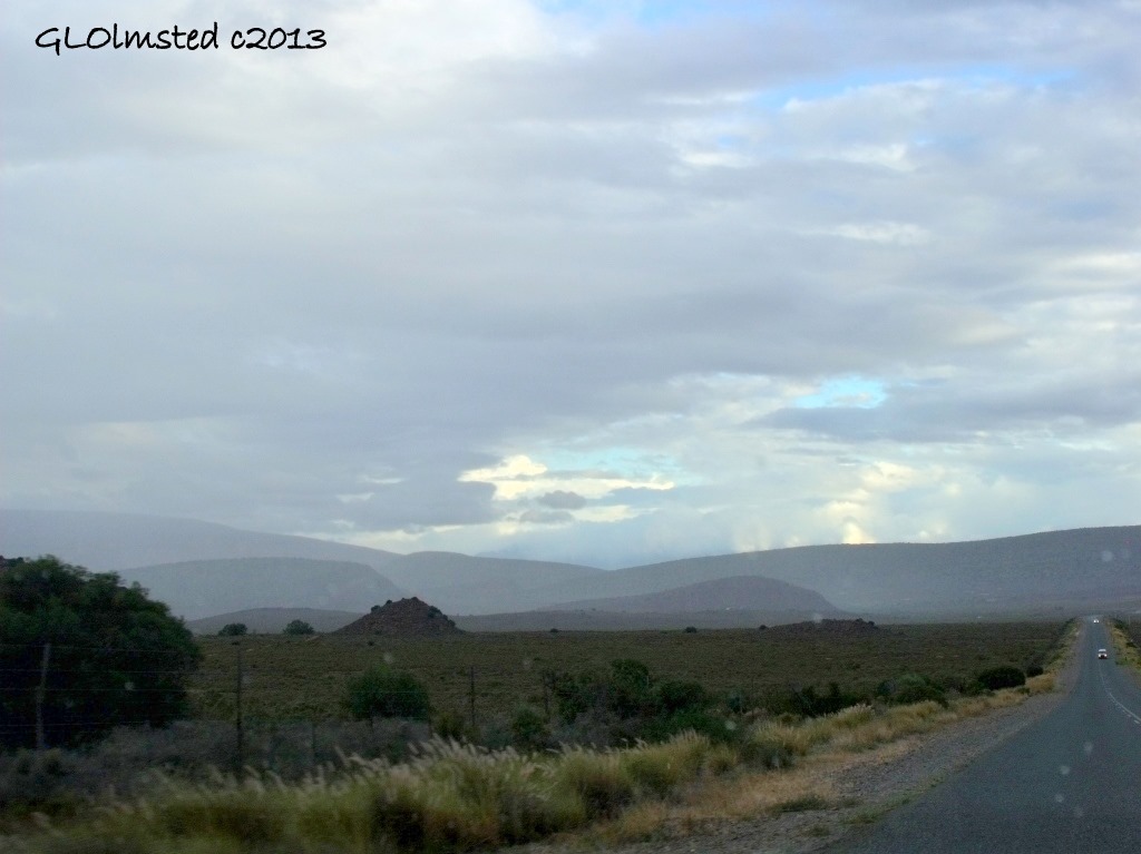
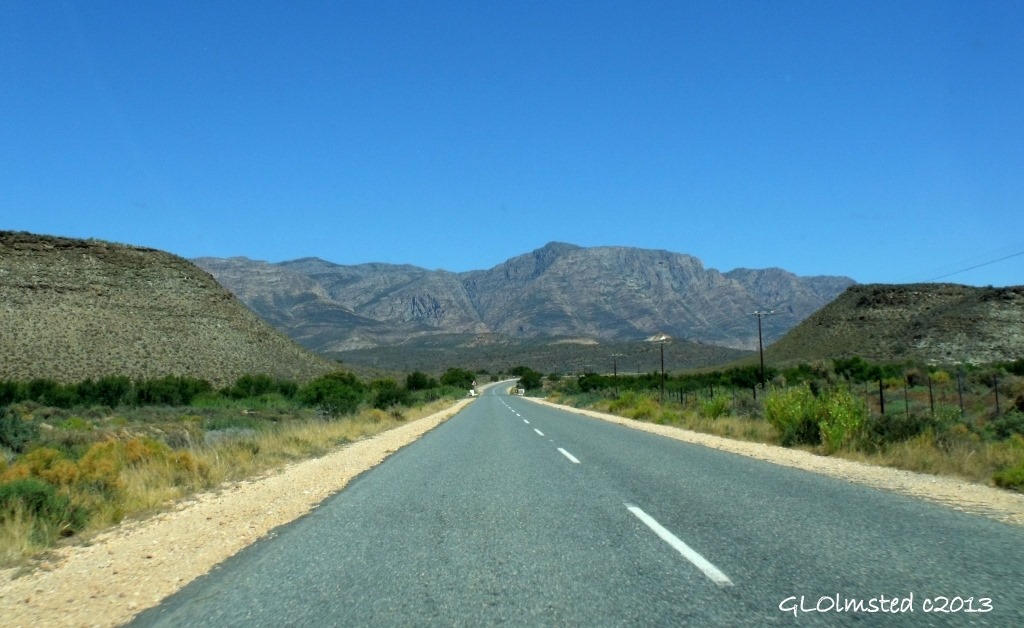
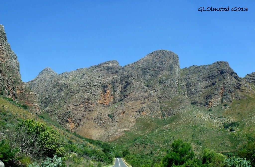
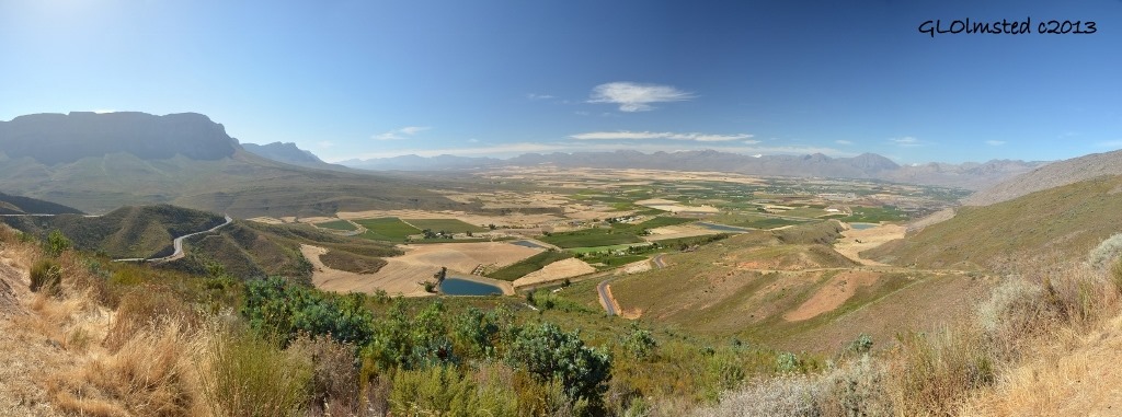
I love being in the mountains wherever I am so drove several famous mountain passes in South Africa. And from all the recommendations I received from locals and other travelers I’m obviously not the only one who likes driving in the mountains. Curvy mountain roads may not be to everyone’s liking but I find them a breathtaking challenge. The Western, Eastern and Northern Capes of South Africa have more than 490 mountain passes that also challenged engineers to build roads providing access for transportation and linking the countryside.
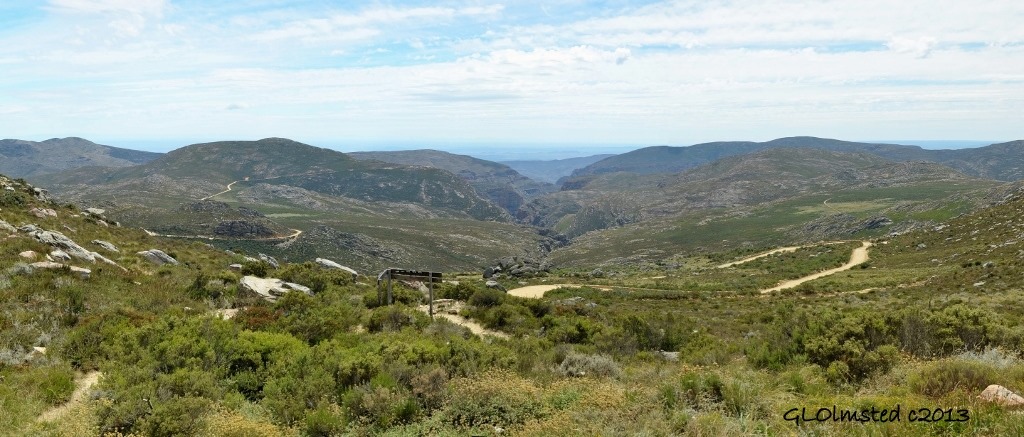
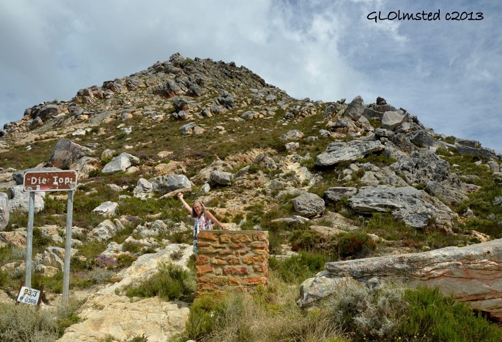
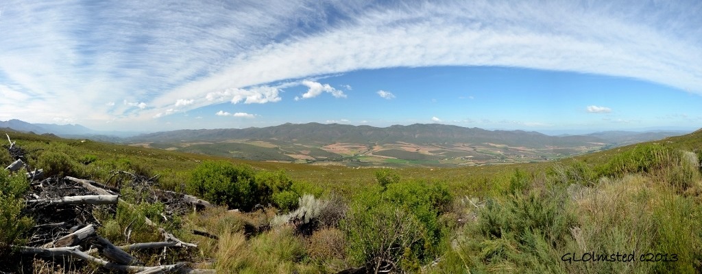
View from Die Top of Swartberg Pass
Pass builders
Most notable of the 19th century road engineers were Andrew Geddes Bain who immigrated from Scotland in 1816, and his son Thomas Charles John Bain from Graaff-Reinet. Although Andrew was not a trained engineer he built eight road passes in extremely rough terrain. Thomas assisted his father and later passed examinations in 1854 then went on to build 24 major mountain roads and passes. Today many of these engineering feats have been declared as National Monuments or National Heritage Roads.
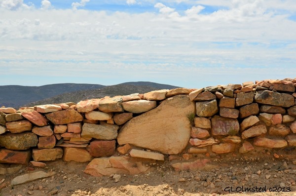
Often times the routes over the mountains and through harsh environments originated as foot paths used by the local natives and later bridle paths by horseman. As roads often followed river beds wash outs regularly occurred. Labor was primarily provided by convicts and prisoners of war using little more than hand drills, sledge hammers, steel bars, picks and shovels. Instead of guardrails, walls of dry-stacked stone were placed at steep-edged drop-offs, a trademark of Thomas Bain.
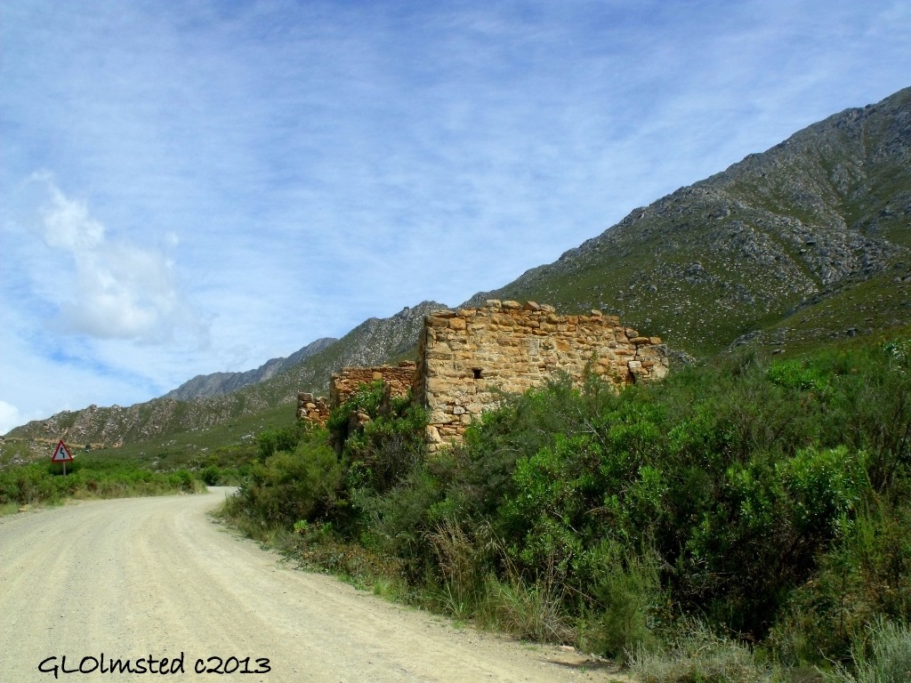
Swartberg toll house
Toll houses were built along the passes and charged two pence per wheel and one penny for each pulling animal plus two pence for a horse, cow, ox or mule and one-half a penny for a sheep, goat or pig. I saw the remains of a couple Toll houses but the narrow roads over the kloofs and poorts weren’t always conducive to parking.
Definitions
Over a what you may be asking. Many geographic names come from Africaans, along with English, one of several languages spoken in South Africa. So here are some definitions you’ll need to understand this story.
Kloof means “a mountain pass or deep ravine” while poort adds “a steep narrow mountain pass usually following a river or stream.” These Africaans’ names often honor the builder, a notable figure or local character. Groot = great, stroom = stream, berg = mountain, drift/drif = or sharp corners, fynbos = fine, delicate bush, tarred & untarred = pavement of some sort or not as in sand road. N roads = National, usually paved, sometimes shoulders, main routes. R roads = Route “principale,”which I call Rural, sometimes paved, rarely shoulders.
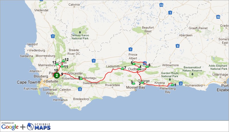
In the order I drove some of the famous mountain passes in South Africa
Pretty much east to west
Numbered right to left & don’t know what the big circled 2 is
1. Grootrivier Pass, Nature’s Valley
My first mountain pass would have been missed if I followed directions better. I was never lost. Yet when turning off the N2 to Nature’s Valley on my way to Wild Spirit Backpackers Lodge I took the first exit instead of the second for the R102 loop. Starting on top of the coastal plateau at 722 feet (220 m), down to the sea plus an unnecessary loop around the one business in “town” I finally followed new directions to “the top of the pass.” A short and sweet drive with no photos due to keeping both hands on the wheel and eyes on the left side of the road.
The Grootrivier is one of several Tsitsikamma Mountain streams that over millions of years cut through the coastal plateau towards the sea. The pass was finished in 1880 by Thomas Bain and major reconstruction occurred in 2010.
2. Outeniqua Pass
After meeting fellow blogger Jo in Knysna and following the coastal Garden Route I veered inland at George and drove north on the N12 over this 2600 foot (800 m) summit climbing a twisty route 2185 feet (666m) over the Outeniqua Mountains into the Little Karoo like I’d done during the 2010 journey when I went caving.
Thank goodness I didn’t have to drive the original road completed in 1845 in one year by surveyor Henry Fancourt White. Or the 1943 upgrade which required eight years to complete 9 miles (14.5 km) through hard rock using the labor of Italian prisoners of war. Instead I enjoyed the natural scenery recreated during the 1993 upgrade when engineers and environmentalists co-operated to protect the nature reserve through which the pass runs. The four-year project included removing 1000s of plants to a nursery, stockpiling topsoil for later use, plus seeds and cuttings were collected to accomplish the largest and most successful fynbos revegetation project of its time.
3. Robinson Pass
I drove Robinson Pass during my last visit returning to the Garden Route from Oudtshoorn where I rode an ostrich. Jonker who lives in nearby Port Elizabeth had recommended this gorgeous mountain route. But this time I took an entirely different path.
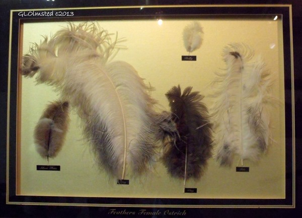
Also built by Thomas Baine and named after the Chief Inspector of Public Works Murrell Robinson, this 11 mile (17 km) road with a 1128 foot (344 m) gain in elevation was completed in 1869. The route connected Oudtshoorn’s inland ostrich farms to coastal Mossel Bay where feathers were exported around the world to adorn ladies hats. The road was rebuilt, re-routed and finally paved between 1958 and 1963 making it an easy pass to travel.
4. Schoemanspoort
Having already driven the R328 as it climbs 718 feet (219 m) from Oudtshoorn to the 1981 foot (604 m) summit at Cango Cave I was looking forward to doing it again although this time I wasn’t headed to the cave.
The 12 mile (19 km) Schoemanspoort road was, of course, built by Thomas Bain in 1862. Winding its way alongside the Grobelaars River past immaculate farms that also cater to the tourists with food, fun, wine tasting and accommodations. I was headed to De Oude Meul (The Old Mill) Lodge for an overnight before heading west onto the famous wine Route 62 at the suggestion of Jo.
5. Swartberg Pass
Then at the recommendation of Boy Spies, 3rd generation owner/manager of The Old Mill, I changed my plans and not only drove to “Dei Top” of Swartberg Pass but down the other side and continued with yet another pass to loop back to Oudtshoorn. In total I covered 99 miles (160 km) in five hours and could have lollygagged even longer.
Prince Albert Valley
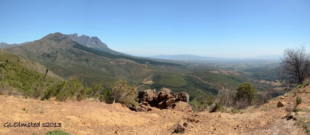
This 17 mile (27 km) road is considered one of the finest mountain passes in the world with its steep zigzags and sudden switchbacks to 5193 feet (1583 m) above sea level offering panoramic views into valleys and up to the towering peaks. It took Thomas Bain eight years directing 240 prisoners from the surrounding area to complete this, his final pass, then 100 years later in 1988 it was declared a National Monument.
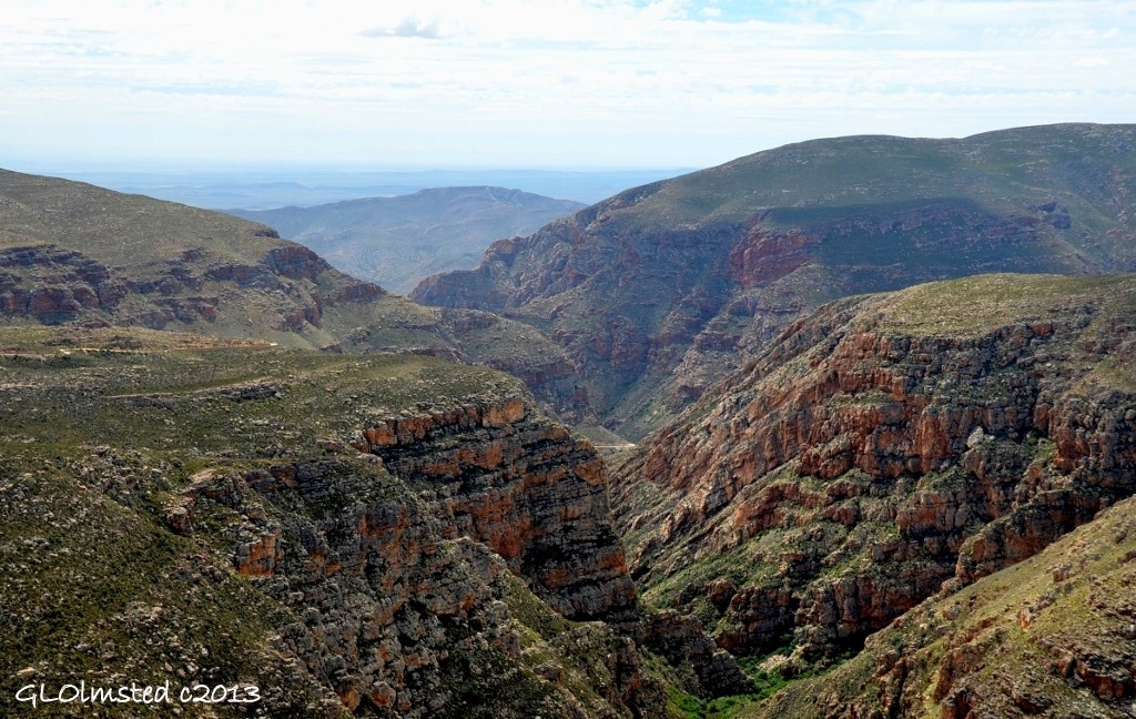
Eastern view into gorge
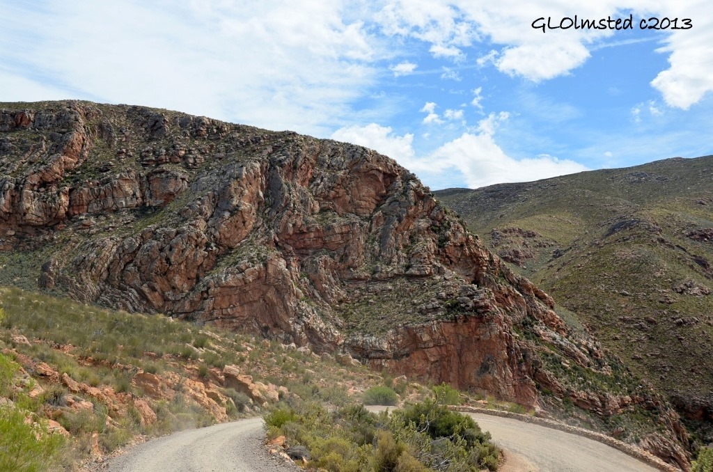
This untarred road is “not recommended for heavy vehicles or caravans” (RVs) as posted. However the rental VW Polo handled it like a dream. There are countless hairpin rock-walled curves where people, including myself, stop anywhere to enjoy the views. Like seeing the Klein Karoo from Dei Top as in the first post photo, looking down into a gorge, the road just disappears. Several side roads beckoned to more passes that I will return for.
I was in awe of the tilted and folded sediments of high silicate shale exposed at every turn, the rock as twisty as the road.
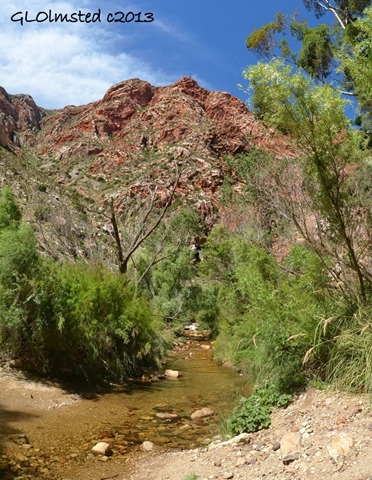
Eventually the road drops through the gorge and follows a little stream then levels out on the R407 to Klaarstroom.
Swartberg mountains to Meiringspoort
6. Meiringspoort
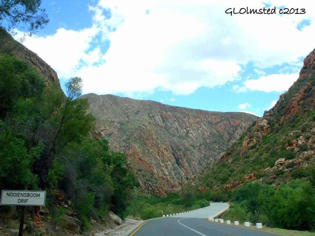
Back on the N12 I came to Meiringspoort on the way to De Rust to complete the loop to Oudtshoorn. This 15 mile (25 km) drive only changed 393 feet (120 m) in elevation. Mostly following along a gorge, the road crosses the Groot River 25 times over bridges built from 1948-53 that replaced the fords each called by a unique drift name relating to a memorial incident. There is Watvaldrif named after the nearby waterfall and Spookdrif described as a supernatural light in the form of a ball of fire that was seen there. I didn’t see that.
“In every drift there is a bend and around every bend there is a drift.” –CJ Langehoven
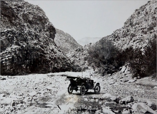
(historic photo)
The original route known as the Boer Road, completed in 1858, was built for the transport of wool from the Great Karoo to the Mossel Bay Harbor. But due to massive flooding was upgraded by Thomas Bain in 1886.
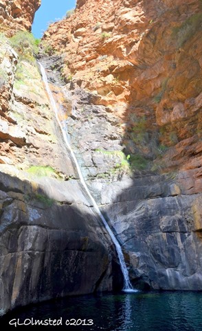
I found a scenic place to stop at the Great Waterfall which towers 197 feet (60 m) above the pool, once thought bottomless but established at 30 feet (9 m) by divers in 1987. An easy walk up shallow steps carved into the rock face in 1925 for a visit by the Prince of Wales ends at the upper pool but the water was too chilly for me who prefers soaking in warm water where I headed later that day after yet another mountain pass.
7. Huisrivier Pass
From Oudtshoorn I left the N12 heading west into the famous wine country on R62 late enough to be staring into the lowering sun. Just beyond Calitzorp another pass took me over the 2181 foot (665 m) summit of the Klein Swartberge.
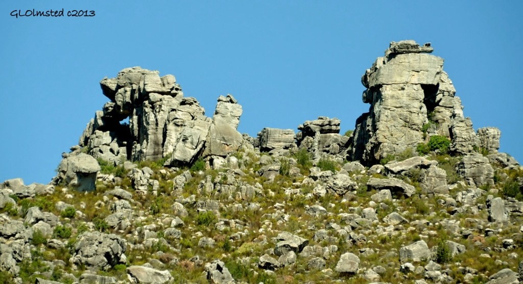
Originally built between 1896 and 1897—not by a Bain—the current pass is a new one having only been completed in 1966. Still an engineering marvel that required huge chunks of the mountain face carved out of the earth leaving sheer and steep gradients which posed problems of how to prevent further rockfalls onto the road. So retaining walls were built at some sections with a gap between the wall and the mountainside to catch rock falls. Other sections have restricting metal mesh placed over them. Understandable, but kind of ruins the esthetics and challenge some.
This pass lead me towards a threatening looking storm that only gave a few drops, not an uncommon pattern for the Little Karoo. After unpacking at the Warmwaterberg Spa a rainbow showed but I somehow deleted the photos.
8. Cogman’s Kloof
After three glorious days soaking at Warmwaterberg and a quick stop at Ronnies Sex Shop I headed for the hills. When Ronnie heard how much I liked Swartberg he strongly suggested Bain’s Kloof. Yet I had several more passes before it.
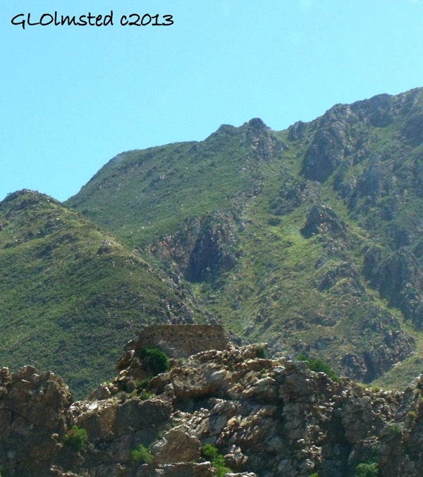
Cogman’s Kloof, built by Thomas Bain and completed in 1873, connects a short 4 mile (6.5 km) route between Ashton and Montagu. Along the route is the Cogman’s Tunnel which is more like a hole through the mountain supporting the remains of an old fort built in 1899 by the English, during the Anglo Boer War. The tunnel is also regarded as the window to the Little Karoo.
9. Du Toitskloof
Having continued west on N15 I spent a night in Worcester at Jasmyn House so I could drive over this 2733 foot (833 m) pass and turn around for the recommended Bain’s Kloof. The old R101 zig-zags around the newer N1 adding 7 miles (11 km) with no shoulders and slow trucks making passing, and photographs, difficult.
Hard to believe that this was the work of 500 Italian prisoners during World War II under the direction of the National Roads Council after Andrew Bain thought it too expensive.
10. Bain’s Kloof
I flipped a 180 in Wellington and drove back over these magnificent mountains on the R301 for 17 miles (27 km) of bliss with barely any traffic and plenty of pullouts to enjoy the views. Thanks for the excellent recommendation Ronnie.
As soon as Andrew Bain completed the next pass I drove he began Bain’s Kloof which provided a more direct route from the town of Wellington to the more northern towns of Ceres and Worcester with a 1463 foot (446 m) gain in elevation over the 1922 foot (586 m) summit. Completed in 1853 after five years of blasting through solid rock for 6 miles (10 km) and in some places building retaining walls 65 feet (20 m) high this was Andrew’s largest accomplishment and was listed as a National Monument in 1980.
11. Mitchell’s Pass
Mitchell’s Pass followed Bain’s Kloof and flowed quickly only climbing 620 feet (190 m) with some most amazing rock formations but only a few places wide enough to park. An even quicker descent lead me to Ceres where I stopped for the night at Rhodene Farm and just looked at all these mountains.
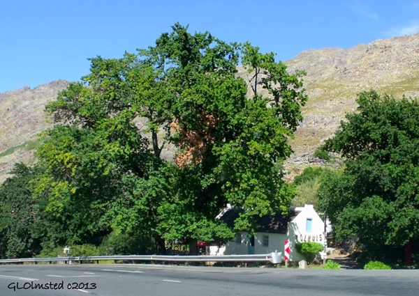
This pass, completed in 1849, is where Thomas Bain started his life as a road builder under apprenticeship of his father Andrew. The old Toll House was the pay point for travelers to the diamond fields. Now it’s a maintained National Monument with a small restaurant offering local traditional foods and treats.
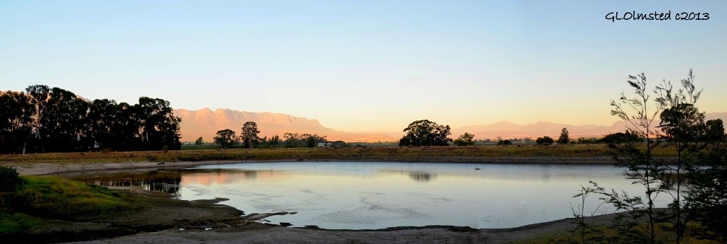
Ceres Valley is surrounded by mountains and only accessible via three passes. I stayed on a working fruit farm at Rodene Farm Cottage and watched the colors change the ridges around me as the sun set.
Ceres Valley
12. Gydo Pass
At the recommendation of my host I drove the short 4 miles (6.5 km) just north of Ceres up 1269 feet (387 m) to Gydo Pass which offered expansive views of the valley and surrounding mountains.
This pass was built in 1848 under the supervision of Andrew Bain at the same time he worked on Mitchell’s Pass.
I then drove back down and headed over Mitchell’s Pass again continuing my journey west to the Atlantic Ocean.
Wasn’t like I started out seeking mountain passes but once I got into the mountains I directed my route more intentionally to enjoy the passes and views. I still haven’t driven all the famous mountain passes in South Africa or even all of the Bain’s passes, will work on that next visit. A big Thank You goes out to locals and other travelers for making suggestions that enhanced my journey over some of the famous mountain passes in South Africa. I would highly recommend visitors to explore these challenging roads and magnificent views.
The only link I was compensated for was Wild Spirit, all the others are just because I like them.

