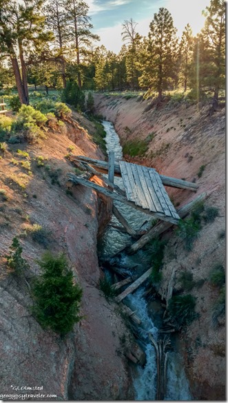
Still connecting the dots exploring around Bryce Canyon National Park which includes Mossy Cave and Tropic Ditch. As a Park Ranger at Bryce this summer, I’ve been asked to lead a 1 1/2 hour walk and talk at this location during GeoFest on July 26 and 27. My last visit to the site nine years ago as a visitor had faded from mind except for the memory of water.
6-12-2019
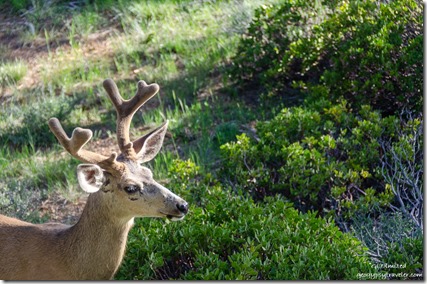 Awoke on my Monday to a bright sunrise and a pair of Mule Deer about 30 feet from my RV windows. The buck looked mighty handsome with his velvet rack.
My entire work morning was open for project time with afternoon ergonomic training. So I asked to rove at the Mossy Cave and Tropic Ditch site. Other than snow and rain I hadn’t seen natural water in the park since my end of April arrival.
 Checked out a radio and small NPS pickup truck for the drive north out of the main park area on SR63, through Bryce Canyon City, then east on SR12 about four miles and back into the park. The *parking lot runs parallel to the road and doesn’t accommodate more than 30 cars, and nothing much larger than a car as I discovered the day before when I drove past on the way to the Tropic Trail. I was happy at 10am to find a parking space. Before I even got out of the rig a woman approached about her lost cellphone so I wrote down her info to transfer to an official lost and found form later. I understand loosing things, but if it’s so important to take the phone how can someone set it down and forget it. I think cell phones are the number one lost and found item in the park, but usually not for long.
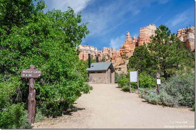 Once out of the truck with hat on I was immediately bombarded by questions about where’s the trail and how far is the walk. Signs certainly are not the best at this site although these same people were in sight of the old fashioned distance sign on a wooden post. In all fairness, many visitors are stopping at this site before entering the main park and don’t even have a park map yet, if they could/would read it, and have no idea why they stopped except for seeing lots of cars. Because I was there to see and learn about the place I happily referred to my park map as the extremely sun faded interpretive sign with a map was illegible. Plus with so many social trails beyond the bathroom building it was difficult to distinguish where exactly to go.
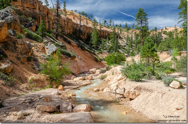
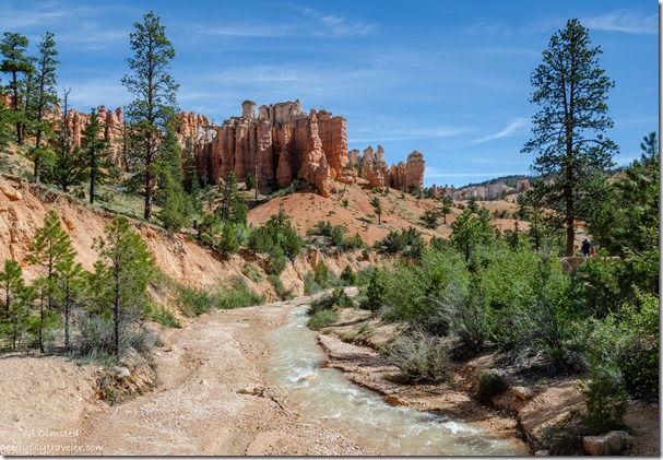
I headed for an obvious bridge across the flow of water with amazing views.
Nice to walk into this landscape up Water Canyon at the base of the hoodoos as I’m used to looking down on them from the rim. Bonus knowing there is no hard climb back and only a 200 foot change in elevation overall. As I sauntered along the trail I paused to answer visitor questions along the way.
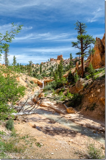
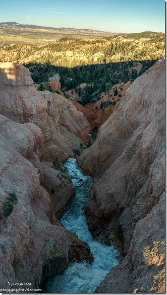
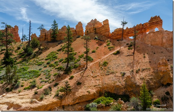 After the second bridge, I took the right fork in the trail to the top of the waterfall. A visitor asked if they could cross the ditch and follow a clearly marked closed trail up to the windows. There is no bridge at the top of the waterfall. I’d say only a constant Ranger presence would stop that action.
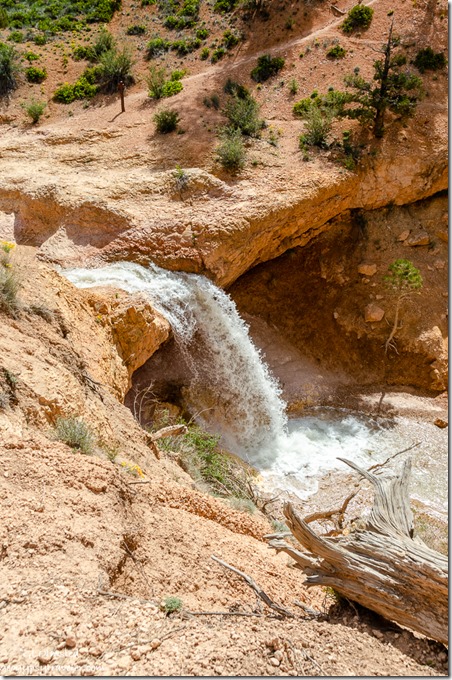 “Please stay on trail” signs are totally ignored. Dead limbs laid across to discourage entrance have no effect. Small signs about revegetating trampled areas are often kicked over. Seems fencing of some deterrent kind is the only thing that will keep most visitors from creating trails every which way including loose, rock that is. Rather sad to contain, enclose, and exclude people because they aren’t smart, educated, or respectful enough not to walk on vegetation. Should these social trails become maintained trails also clearly marked in the hope people will use them and not make more trails? Unlike some people, I like to stand at the edge, not dangerously too close mind you, and I appreciate the lack of rails and fences.
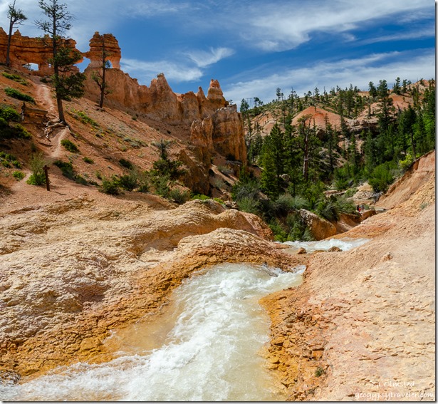
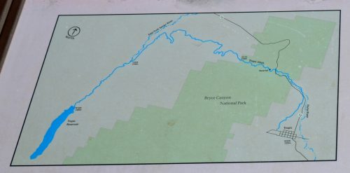 I’m sure this seems like an unlikely place for a waterfall or barely any flowing water. Determined Mormon settlers came to Bryce Valley in the late 1800s and discovered the Paria River went dry part of the year. They solved that problem by hand-digging a 10-mile ditch across the Paunsaugunt Plateau from the East Fork Sevier River following water drainages where possible. Quite a human accomplishment over two years but nothing new for us to alter an environment. Probably the only way the settlements of Tropic and Cannonville could have survived.
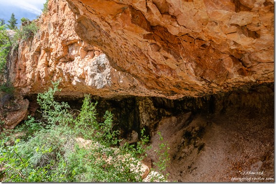 Nearby springs could not have provided enough water for developing towns. Mossy Cave is a shallow cavern formed from eons of water seeping through the rock, it’s drippy, covered with moss and ferns, and also not accessible from the viewing platform. This fragile ecosystem provides water to many animals and micro-environments plus shade and coolness in the afternoons. Life is always attracted to water.
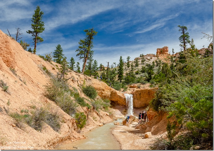 Returned down the Mossy Cave trail, crossed and went back under the Tropic Ditch bridge. I began to walk up along the ditch towards the waterfall, along with many visitors, a place where no signs indicated restriction. However, getting all the way to the falls would entail sliding on my butt and I didn’t want orange seated uniform pants so passed on that part. A good place to cool off on a warm day.
I spent about two hours exploring the waterfall, Mossy Cave, and the Tropic Ditch. Yet I’m still connecting the dots and got lucky to see more of the ditch further west running adjacent to the telescope field for Astro Fest. (More on that later.) Every year since its completion in 1892 (except during the drought of 2002), this canal has supplied the communities of Tropic and Cannonville with irrigation water.
Eventually 5.5 miles of the open Tropic Ditch was replaced with pipeline to reduce the amount of salt reaching the Paria and ultimately the Colorado Rivers and conserve water lost to evaporation and seepage. The water is allowed to run from May to October. I hope to explore the beginning of the Tropic Ditch soon.
 *Bryce Canyon National Park is currently working on a plan with DOT to enlarge the parking along SR12 for Mossy Cave and Tropic Ditch.

