• Home
  • About Geogypsy
    • Herstory
    • Parks where I’ve worked
  • Places I’ve been
    • United States
      • Arizona
        • Antelope Slot Canyon
        • Casa Grande Ruins National Monument
        • Colossal Cave Mountain Park
        • Flagstaff
        • Glen Canyon National Recreation Area
        • Grand Canyon National Park
          • Grand Canyon National Park North Rim
          • Grand Canyon National Park South Rim
          • Toroweap
        • Havasu Canyon
        • Horseshoe Bend
        • Jerome
        • Kaibab National Forest
        • Lee’s Ferry
        • Meteor Crater
        • Navajo Bridge
        • Oak Creek Canyon
        • Painted Desert
        • Pipe Springs National Monument
        • Prescott
        • Quartzsite
        • Saguaro National Park
        • Sedona
        • Sunset Crater Volcano National Monument
        • Vermilion Cliffs
        • Walnut Canyon National Monument
        • Wupatki National Monument
        • Yarnell
      • California
        • Anzaberrego
        • Bakersfield
        • Death Valley National Park
        • Joshua Tree National Park
        • Redwoods NP
        • Salton Sea
        • Yucca Valley
      • Colorado
        • Mesa Verde National Park
      • Florida
      • Illinois
        • IL River
        • Morton Arboretum
        • Starved Rock State Park
      • Michigan
      • Nevada
      • New Mexico
      • Oregon
        • Crater Lake NP
        • Mt Hood
        • Oregon Caves National Monument
      • Texas
        • Alpine Texas
        • Padre Island
        • Port Isabel
        • Rio Grande Valley
      • Utah
        • Brian’s Head
        • Bryce Canyon National Park
        • Buckskin Gulch
        • Cedar Breaks National Monument
        • Cedar City
        • Coral Pink Sand Dunes State Park
        • Dixie National Forest
        • Grand Staircase Escalante National Monument
        • Johnson Canyon
        • Kanab
    • World Travels
      • Germany
      • Mexico
      • South Africa
  • Tours
  • Photography
  • Work with Me
    • Sponsors
  • Contact
Geogypsy
Menu
  • Home
  • About Geogypsy
    • Herstory
    • Parks where I’ve worked
  • Places I’ve been
    • United States
      • Arizona
        • Antelope Slot Canyon
        • Casa Grande Ruins National Monument
        • Colossal Cave Mountain Park
        • Flagstaff
        • Glen Canyon National Recreation Area
        • Grand Canyon National Park
          • Grand Canyon National Park North Rim
          • Grand Canyon National Park South Rim
          • Toroweap
        • Havasu Canyon
        • Horseshoe Bend
        • Jerome
        • Kaibab National Forest
        • Lee’s Ferry
        • Meteor Crater
        • Navajo Bridge
        • Oak Creek Canyon
        • Painted Desert
        • Pipe Springs National Monument
        • Prescott
        • Quartzsite
        • Saguaro National Park
        • Sedona
        • Sunset Crater Volcano National Monument
        • Vermilion Cliffs
        • Walnut Canyon National Monument
        • Wupatki National Monument
        • Yarnell
      • California
        • Anzaberrego
        • Bakersfield
        • Death Valley National Park
        • Joshua Tree National Park
        • Redwoods NP
        • Salton Sea
        • Yucca Valley
      • Colorado
        • Mesa Verde National Park
      • Florida
      • Illinois
        • IL River
        • Morton Arboretum
        • Starved Rock State Park
      • Michigan
      • Nevada
      • New Mexico
      • Oregon
        • Crater Lake NP
        • Mt Hood
        • Oregon Caves National Monument
      • Texas
        • Alpine Texas
        • Padre Island
        • Port Isabel
        • Rio Grande Valley
      • Utah
        • Brian’s Head
        • Bryce Canyon National Park
        • Buckskin Gulch
        • Cedar Breaks National Monument
        • Cedar City
        • Coral Pink Sand Dunes State Park
        • Dixie National Forest
        • Grand Staircase Escalante National Monument
        • Johnson Canyon
        • Kanab
    • World Travels
      • Germany
      • Mexico
      • South Africa
  • Tours
  • Photography
  • Work with Me
    • Sponsors
  • Contact

Tag: history

15 June 2023

Wonderful spires of rock at Chiricahua National Monument

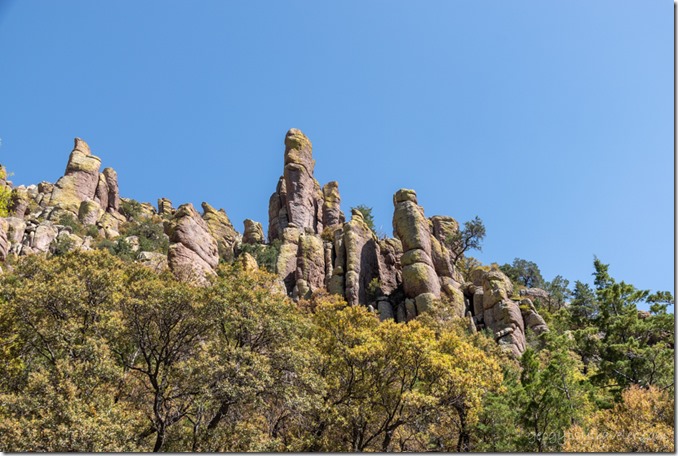
hoodoos view W Massai Pt Chiricahua NM AZChiricahua National Monument was established in 1924 by President Calvin Coolidge and 84% of this 12,025 acre monument is designated as wilderness.  In 1934 the Civilian Conservation Corps (CCC) began improving the road and building trails and structures.  Yet millions of years before a volcanic eruption began the geologic process that would ultimately create the spires, pillars, and hoodoos currently protected in Chiricahua National Monument.
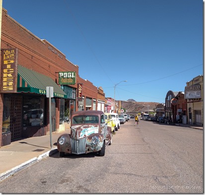
old cars Lowell Dist Bisbee AZIt was almost the end of April when I left Bisbee and continued exploring southeastern Arizona.  Next stop Chiricahua National Monument.
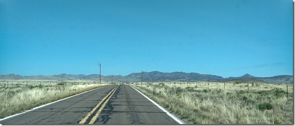
Sulphur Springs Valley SR181 N AZ

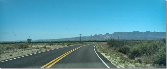
Sulphur Springs Valley SR181 N AZThe drive to the foot of the Chiricahua Mountains crossing Sulphur Springs Valley was mostly agricultural land.
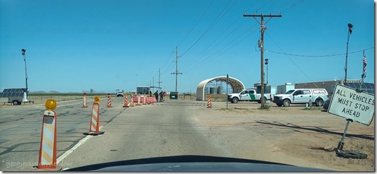
border patrol check pt SR181 N AZAnd because the area is within 30 miles of the border with Mexico there’s a check point which simply entails a quick stop and carry on.
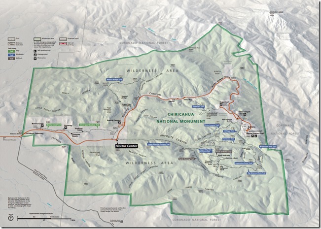
Chiricahua NM mapOnce I entered Chiricahua National Monument there was a small cemetery for Erickson family members who settled here in 1888 building the Faraway Ranch, but their home was closed for renovations.  They were preceded by the Chiricahua Apaches as the first known people to occupy the area—and visited by the Spanish during the 1500s—before being relocated by the government in 1886.
Bonita Canyon Dr CHIR NM AZ

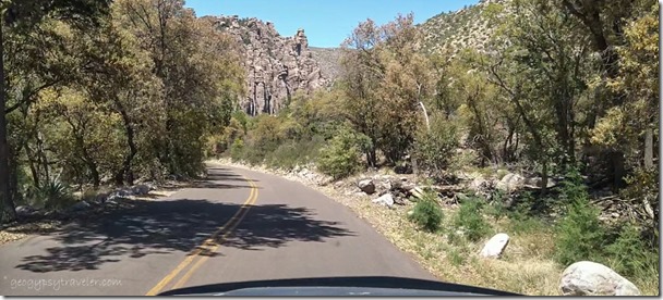
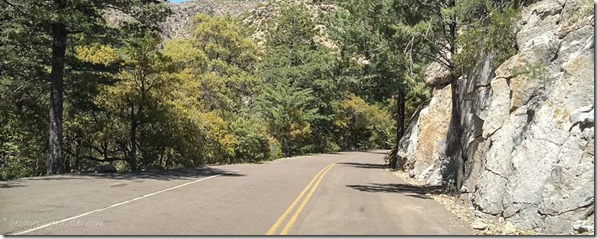
Bonita Canyon Dr CHIR NM AZI stopped at the visitor center and picked up my Junior Ranger book before taking the Bonita Canyon Drive eight miles up to its end at Massai Point, an 1170 foot climb on narrow road with a length restriction of 24 feet.  Mine is about 21 feet total.
hoodoos view W Massai Pt Chiricahua NM AZ

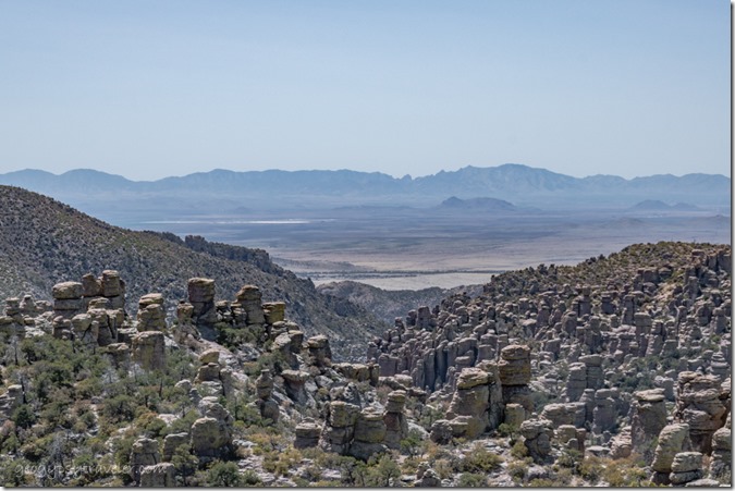
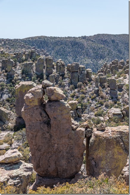
hoodoos Massai Pt Chiricahua NM AZThe views took my breath away.  The west view beyond a basin filled with rock spires or hoodoos, across the Sulphur Valley and to the Dragoon Mountains about 70 miles away, where I just came from.
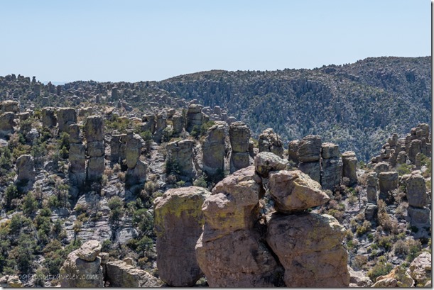
hoodoos Massai Pt CHIR NM AZI could barely take it all in and the afternoon was waning plus I still had to find a nearby camp so I could return in the morning and walk at least a little of the 17 miles of trails.
Pinery Canyon Rd Chiricahua NF AZ

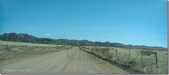
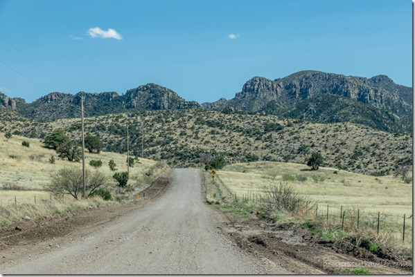
Pinery Canyon Rd Chiricahua NF AZI use several different apps to look for free dispersed/boondock camping sites and headed for the recommended Pinery Canyon Road in the adjacent Chiricahua National Forest.  Rough road took me 30 minutes to drive five miles before I found a primitive campground under the trees with absolutely no signal.
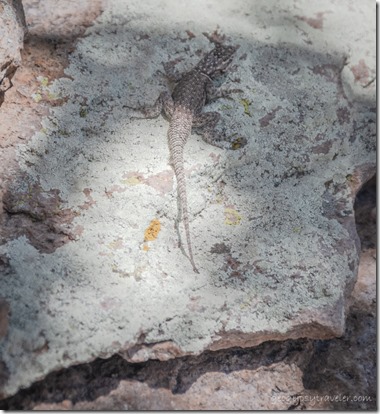
lizard Massai trl Chiricahua NM AZ

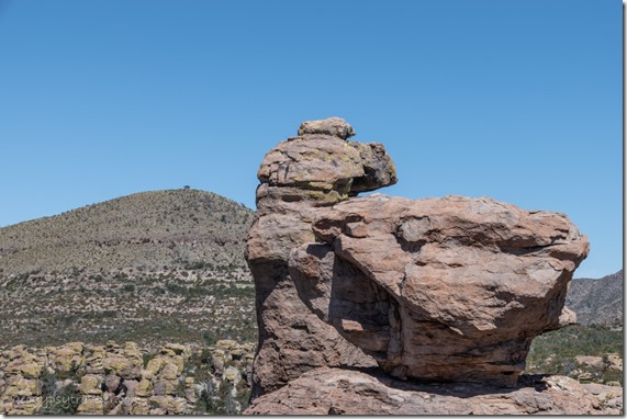
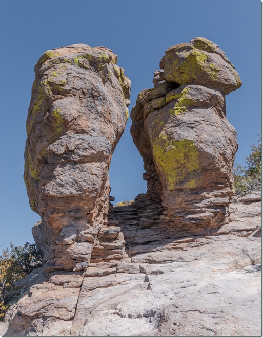
hoodoos Massai trl Chiricahua NM AZWaking to 40° inside the camper prompted me to leave early and return to Chiricahua’s Massai Point to walk a trail and get a closer look at this rock.
view N hoodoos lookout Massai trl Chiricahua NM AZ

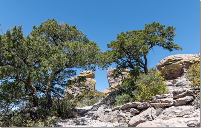
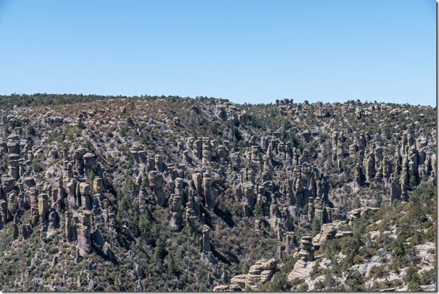
view SW hoodoos Massai Pt CHIR NM AZRoughly 27 million years ago a cataclysmic volcanic eruption spewed ash and molten debris at super-sonic speeds and formed the approximately 12 mile wide Turkey Creek Caldera located just to the south of the monument.  Ash and debris settled and compacted, forming a thick layer of rock called rhyolite tuff. This rock layer has fissured and eroded over time, forming the spectacular rock pillars of Chiricahua National Monument.
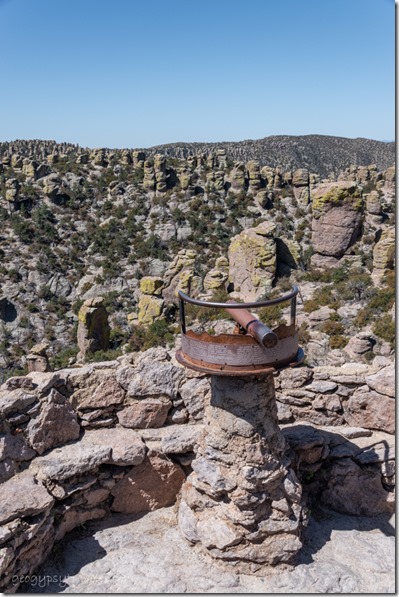
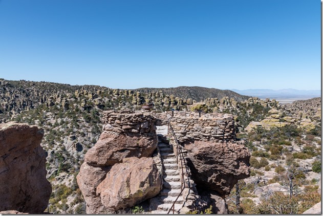
stone overlook Massai Pt CHIR NM AZ

viewer hoodoos Massai Pt CHIR NM AZThe Massai nature trail features a unique stone built overlook with multiple-point viewer across almost 180°.
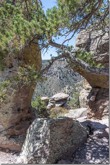
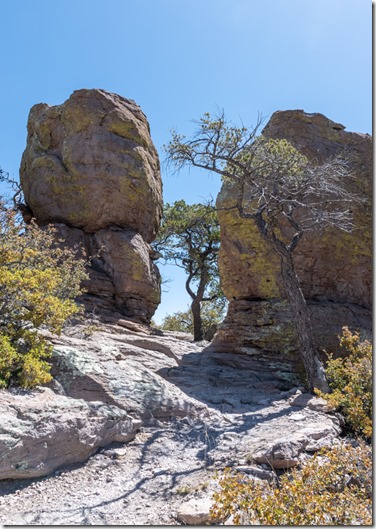
trees hoodoos Massai trl Chiricahua NM AZ

view W rock trees Massai trl Chiricahua NM AZThe trail is an easy walk over boulders and under trees with many interesting shapes along the way.
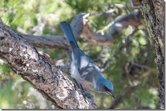
trees hoodoos trl Massai Pt CHIR NM AZ

Mexican Jay bird Chiricahua NM AZOf course at my rate of pace, the .5 mile nature trail took over an hour while taking photos and videos.
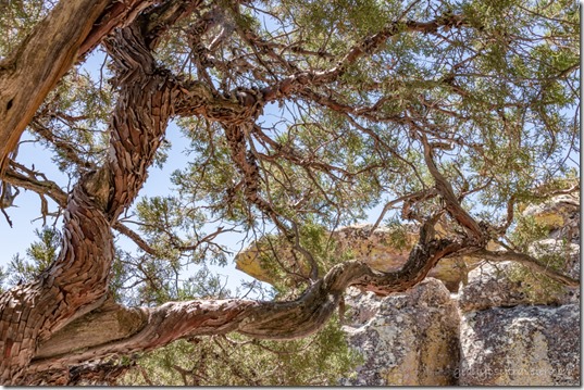
twisted Juniper tree bark Massai trl Chiricahua NM AZBeing I’m more of a saunterer than hiker I didn’t take on any of the other longer trails.  Plus I needed a new camp for the night.
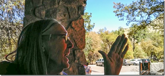
Chiricahua hat pinChiricahua Jr Ranger badge

Gaelyn swearing in Jr Ranger badge CHIR NM AZI did return to the visitor center for my hat pin, sticker, and Junior Ranger badge.
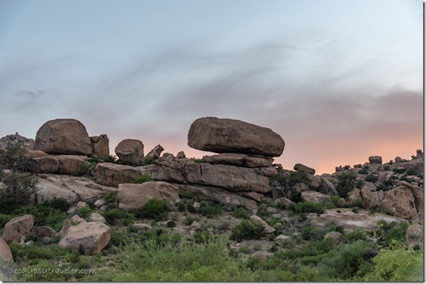
boulders sunset clouds Indian Bread Rocks BLM Bowie AZThen I exited Chiricahua National Monument and drove north to Wilcox, Arizona where I filled a propane tank before heading to my next destination, the new to me, Indian Bread Rocks Recreation Area.  A whole different kind of geology, and that story will be coming next.

You can visit the national monument’s official website here https://www.nps.gov/chir/index.htm

Push my buttons!

  • Click to share on Facebook (Opens in new window) Facebook
  • Click to share on X (Opens in new window) X
  • Click to share on LinkedIn (Opens in new window) LinkedIn

Like this:

Like Loading...
Arizona, Chiricahua National Monument, National Parks and Monuments, Places I've been, United States geology, history, national monument, travel 14 Comments
31 May 2023

Touring Tumacácori National Historical Park

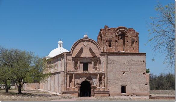
church bell tower convento Tumacácori NHS Tubac AZI learned much early Southwest history touring Tumacácori and struggled to pronounce the name, Tuma-cá-cori.  Such an interesting place I visited over two days.

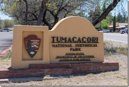
welcome sign Tumacacori NHPAfter nine days during mid-April boondocking along the High Gates Road in Buenos Aires National Wildlife Refuge I traveled east to visit some historic sites.  Turned out Tubac Presidio State Historic Park appeared way to tourista surrounded my several blocks of what I call junk shops.  I don’t need any more junk, so I left in a hurry and continued south to Tumacácori National Historical Park, a National Park Service site.  Their parking lot isn’t made for oversized rigs, but it was mostly empty so I paralleled and took up several spaces far away from the entrance to the Visitor Center.  Might find parking along the frontage road for a rig bigger than my 21 feet.  I saw RV parks to the north in Amado but boondocked elsewhere.
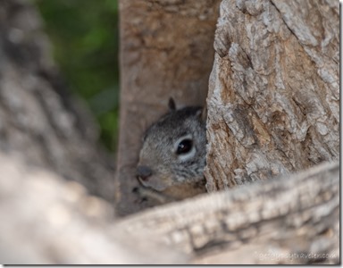
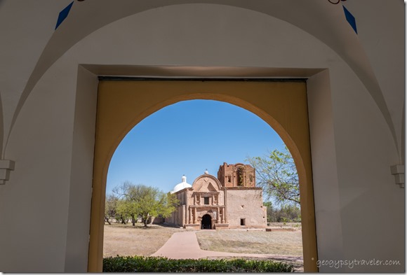
VC window view Church Tumacacori NHPThe Visitor Center built from 1935-37 of adobe and plaster by local workers including CCC (Civilian Conservation Corps), using “New Deal” project funds and oriented to provide an amazing view of the church.  There are several superb CCC dioramas in the museum but under glass so couldn’t take pics.

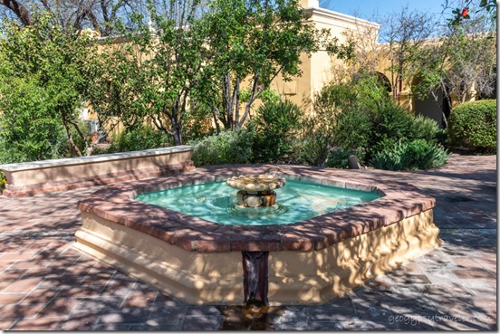
fountain in VC garden Tumacácori NHS Tubac AZ

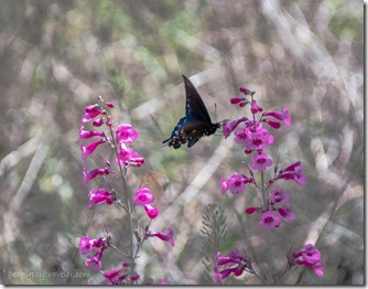
unidentified butterfly pink Penstimon flowers Tumacacori NHS AZAfter picking up my Junior Ranger book and an overpriced Prickly Pear cactus candy treat I walked into the Courtyard Garden adjoining the center.  I met volunteer Gary in the garden and was the only one on his 1pm tour of the Tumacácori church.

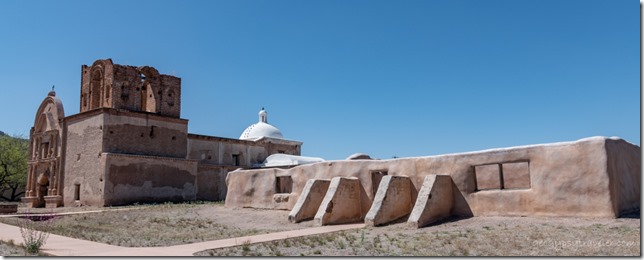
church & bell tower Tumacácori NHS Tubac AZCompleted in 1822 after almost 25 years of construction, the front of the church was originally brightly painted.  The columns were red, the Egyptian-style capitals yellow with black markings, and the statue niches were blue.

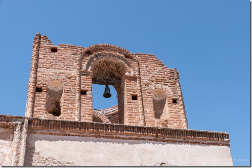
church bell tower Tumacácori NHS Tubac AZThe adjacent Bell Tower has scallop shell niches for Saint James the Apostle, patron of laborers.

Church Nave inside church Tumacácori NHS Tubac AZ

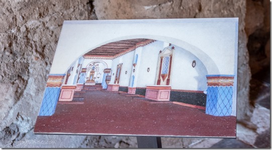
artists rendition Church Nave inside church Tumacácori NHS Tubac AZArtists rendition

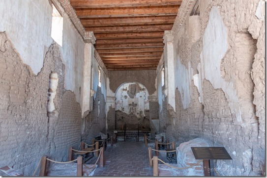
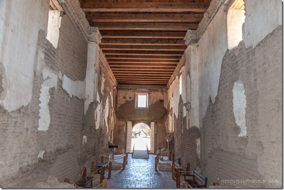
Entering a long hall of the Nave, niches line the walls where statues of saints stood with candles below.

doorway church Baptistry Tumacácori NHS Tubac AZ

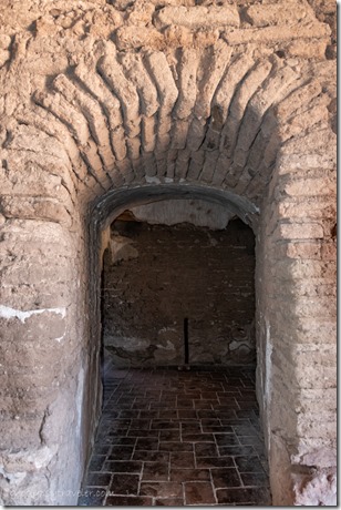
 inside church Tumacácori NHS Tubac AZImmediately to the right of the door is a small room called the Baptistry and stairs leading to the bell tower and choir loft located directly above the door, but no longer there.

Church Sanctuary Tumacácori NHS Tubac AZartists rendition Nave in church Tumacácori NHS Tubac AZ

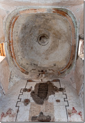
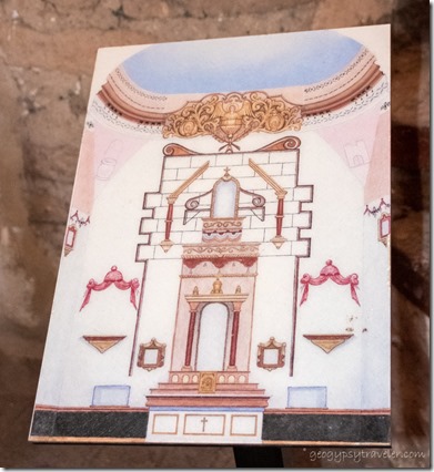
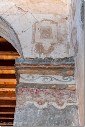
original paint in church Tumacácori NHS Tubac AZThe opposite end of the hall is the Sanctuary with a domed ceiling made of strong fired adobe bricks.  Most of the church’s vertical walls were made of the mud-adobe bricks then covered with plaster, etched and painted.  After abandonment in 1848, the roof was removed and local settlers re-used the timbers.

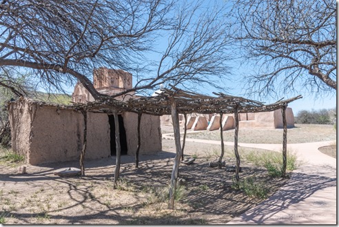
Melhok Ki O'odham dwelling Tumacácori NHS Tubac AZO’odham dwelling

Built by the local people’s labor

The land and first people, we call the Tohono O’odam (pronounced AW-aw-tum), lived in the Santa Cruz river valley, wove baskets from wetland reeds, grew corn, beans, and squash, hunted rabbit and deer, gathered acorns, mesquite beans, cactus pads, buds and fruits.

Father Kino museum Tumacácori NHS Tubac AZstatue Father Kino VC Tumacácori NHS Tubac AZ

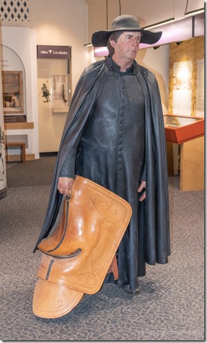
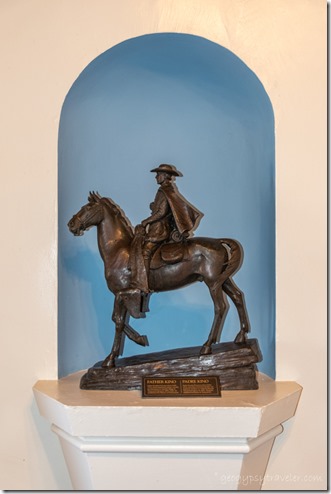
In January 1691, Father Kino lead the first Europeans to an O’odam village and started Tumacácori Mission and community for teaching the native people the Spanish way of life, farming, religion, speaking Spanish, and how to build using mud bricks called adobe.  Spaniards brought wheat, pork, beef, chicken, olives, peaches, pomegranates, figs, apricots and oranges.

orchard Tumacácori NHS Tubac AZ

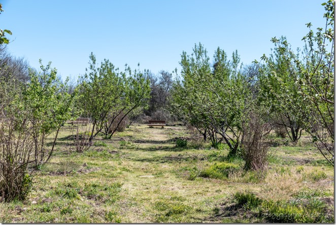
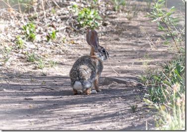
Cottontail Tumacácori NHS Tubac AZMy next wander was into the orchard which was restored in 2007 after much searching of historic orchards for trees to take grafts and gather seeds.  Species include quince, pomegranate, fig, apple, plum, apricot, peach, olive, and orange trees.

Jr Ranger badge Tumacácori NHS Tubac AZhat pin Tumacácori NHS Tubac AZ

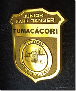
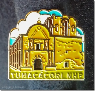
By this time it was later afternoon and I still needed to find a place to camp for the night, preferably nearby so I could return in the morning.  I got my Junior Ranger badge and bought a hatpin.

view camp Chavez Siding Road Tubac AZA Ranger gave me directions for a place that certainly wasn’t ideal but worked for a one-nighter.  Yes, I could see but barely hear the traffic on Interstate 19 and was also in sight of a border patrol check point for northbound traffic.  Safer there than further along a rough gravel road.

trail to Santa Cruz R Tumacácori NHS Tubac AZ

trees Santa Cruz R Tumacácori NHS Tubac AZIn the morning I returned before the visitor center was open but was allowed in and walked the 1/4 mile to the Santa Cruz River.

food bank Tumacácori NHS Tubac AZReturning to the parking lot I saw what looked like a farmers’ market across the street.  Turned out to be a local food-bank and I was invited to help myself to some lovely produce.

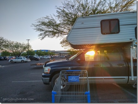
truckcamper camp WalMart sunset Sierra Vista AZFrom there I headed to Sierra Vista for a Walmart night before my next destination to visit a friend in Bisbee.

ground squirrel Tumacácori NHS Tubac AZA video is coming of this tour.

Push my buttons!

  • Click to share on Facebook (Opens in new window) Facebook
  • Click to share on X (Opens in new window) X
  • Click to share on LinkedIn (Opens in new window) LinkedIn

Like this:

Like Loading...
Arizona, Places I've been, Tumacácori, United States history, National Park site, RV life 19 Comments
11 May 2021

2021 Bryce Canyon summer season begins

The 2021 Bryce Canyon summer season schedule has begun, and we are busy.  Actually it hasn’t slowed down much since Spring Break in March/April.  Seems everybody wants to #FindYourPark.  Which is awesome in so many ways, but not in other ways.

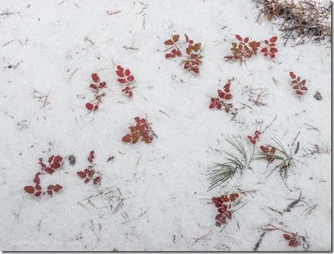
RV window view snow Bryce Canyon National Park UtahFrom RV window, grapple against the new leaves of Oregon Grape

Pretty much wrapped up two weeks of Ranger training the end of April mostly outdoors for COVID safety, even with cold and snow.  The actual warm weather 2021 Bryce Canyon summer season won’t start until maybe June.  In the meantime, a great group of new staff are eagerly working to learn about the natural and cultural histories and sciences at Bryce Canyon while creating Ranger programs/talks.  We’ve only been offering and advertising two hoodoo geology talks a day presented by experienced staff.  That will soon expand to Grand Staircase geology talks and evening programs along with more nights of constellation tours as our Astronomy Interns arrive.  We are all working the information desk and counting visitors in and out the door to maintain a limit of 55 people inside the visitor center which includes open bathrooms, museum, and merchandise.

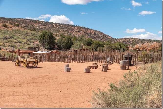
compound fence Pipe Spring National Monument Kaibab Paiute Rezervation ArizonaGarden soon to be planted behind the fence, outside woodfired cookstove, quarters in building above the buckboard wagon, they do currently pull a rake through leaving the pattern not sure that was done historically

One more full day of training included a field trip to Pipe Spring National Monument just across the border in northern Arizona, about two hours away.  Our Rangers joined their Rangers to learn about the two primary cultures who still call this rather dry and desolate looking landscape home.  No surprise this is part of the Kaibab Paiute Reservation as history shows the US government consistently put Indians on “useless land” while trying to break their cultural traditions.  Yet these people are resilient and continue working to teach their history and language to their youth.  They survived hundreds of years in this area hunting and gathering around a known fresh-water spring.

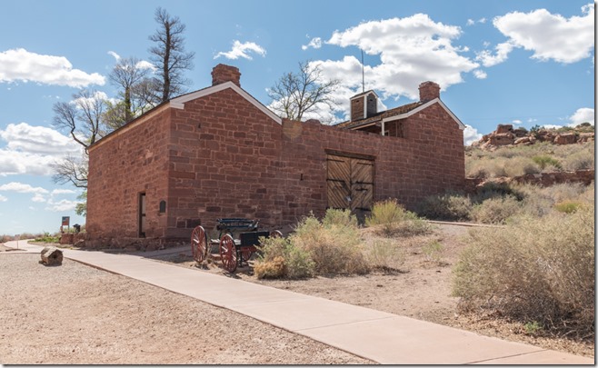
Windsor Castle Pipe Spring National Monument Kaibab Paiute Reservation ArizonaNo Ranger lead tours, self guided only, limited numbers inside & not in small rooms, Ranger available

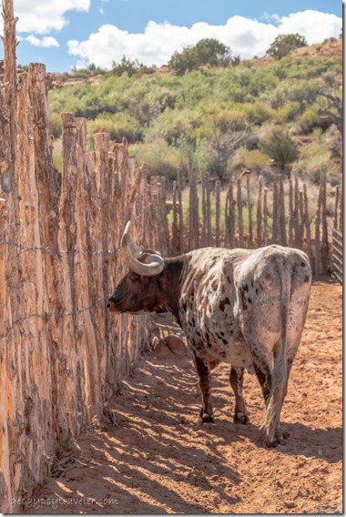
Longhorn Pipe Spring National Monument Kaibab Paiute Reservation ArizonaThat rack of horns is 5-6 feet across, he’s friendly and doesn’t know how big he is

Mormon settlers arrived during the late 1800s and built a fort called Windsor Castle on top of the main spring and raised cattle for their tithing.  It’s an interesting mix of history.

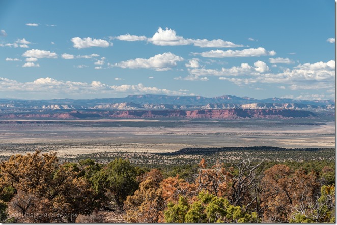
view North across Grand Staircase from LeFevre overlook SR89A ArizonaBefore driving back to Bryce we took a side trip south on SR89A a little ways up onto the North Kaibab Plateau to the LeFevre overlook.  The view north is phenomenal looking across the Grand Staircase, both geologic and monument, to the Pink Cliffs of Bryce Canyon on the horizon.

snow meadows trees jct SR14 & Rd to Cedar Breaks National Monument Utah

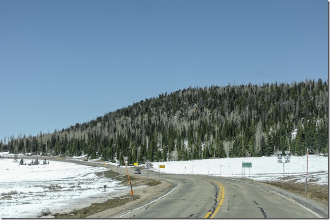
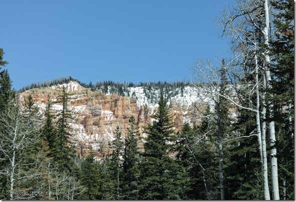
trees snow Pink Cliffs SR14 East UtahGlad I wasn’t driving for that long day as the next I had my own long day of driving 1 1/2 hours to Cedar City for groceries.  Although looking a little winter bleak, SR14 is a beautiful curvy drive through forest, high meadows, a lava flow, and a couple of grand vistas.  The SR143  turn off to Cedar Breaks National Monument, at 10,000 feet, with an anticipated early open due to lack of winter snowpack.

After too many hours in town I returned the same route and stopped at the turnoff to Navajo Lake hoping for some snow on the black lava under the winter forest.  Yet it was wet enough not to wander into the forest with inappropriate footwear, and the snow was only in small patches though the lake looked frozen.

My second day off I wasted way too many morning hours trying to do anything online.  So because I needed a propane tank filled in the adjacent town of Bryce Canyon City I took the laptop along and found WIFI.  Sadly, a Windows update found me and put a stop to tethering my phone to the laptop when and if I could get a signal at home.  That typically only happens before 7am and after 11pm, when I’d rather be sleeping.

Though the next day, I got a whole lot more sleeping than usual as I was home sick.  Seems when I reached for the chicken potstickers I grabbed shrimp instead.  I have a food intolerance to crustaceans and filter feeders.  They tasted great.  But I suffered the consequences fighting both ends for 24 hours and just trying to stay hydrated.  My bad for not reading the ingredients label.

Made it to work the next day with mornings hoovering around freezing then warming into the 60s.  Most of my day was project time, so worked on some new program ideas (shorties called popups) about trees and hoodoos around the world.  Had lightning with rain in the afternoon that moved our outside information station inside the visitor center.  Much harder to talk to visitors through a mask and plexiglass.

I know, I ranted.  Lots of things building up on my mind.  I’m not local enough to get local workers interested in fixing my poor broken truckcamper.  I’m thinking of storing it the rest of the summer for repairs next winter in Quartzsite.  Not willing to let go of it because I couldn’t afford to replace it.  Does make a nice traveling home.  It has to come off the truck anyway to replace the shocks, and so I can pull my 5th-wheel.

I lost a very good, long-time online friend last week who didn’t survive a ruptured aneurysm.  Only 67 years old, same as me.  A person so like me we joked about being sisters from different parents.  She lived along the Atlantic coast and took the most beautiful photographs of sunrises and waves.  She knew how precious life is and will remind me often.

Todd Sunset Point Bryce Canyon National Park by P DensmoreMy favorite boss ever is leaving the 2021 Bryce Canyon summer season after providing a wonderful training session and leaves our supervision in new capable hands.  Todd was my first boss as a Ranger at Mt St Helens in 1992.  He’s taking his skills, and beautiful wife and my friend, to Olympic National Park.  He will be sorely missed here.  But ah, maybe yet another excuse to revisit the Pacific Northwest.

Although I’ve solved the problem of tethering my phone to the laptop with yet another Windows update—why can’t they leave things alone–I doubt the signal is going to improve in my current location.  It’s a struggle I’m going to have to live with as long as I’m here.  Damn computer and internet have become my hobbies.

And maybe it is getting time for me to think of retiring.  Although seasonals don’t retire with any benefits, we just don’t work any more.  But then I have a wonderful day helping visitors plan their visit.  Later a young woman finds me to say thank you.  And that’s what makes it hard to stop being a Park Ranger.  So here I go, for the 2021 Bryce Canyon summer season, and my 29th summer season as a Park Ranger.  Guess it’s about time I took some photos.

Push my buttons!

  • Click to share on Facebook (Opens in new window) Facebook
  • Click to share on X (Opens in new window) X
  • Click to share on LinkedIn (Opens in new window) LinkedIn

Like this:

Like Loading...
Bryce Canyon National Park, Places I've been, Seasonal Park Ranger, United States, Utah history, Park Ranger, training, work 16 Comments
← Older posts

Hi, I’m Gaelyn, the Geogypsy

I retired after 29 summer seasons as a Park Ranger, traveling solo for 40+ years. My passions include travel, connecting to nature, photography, and sharing stories.

I started exploring US National Parks in 1977 and 20 years later became a seasonal Park Ranger.  I’ve lived full-time in a RV for 30 years working summers and playing winters.  I’m still trying to figure out what I want to be when I grow old, other than grow up.

Let’s share our stories.  Here’s more of mine…

My wheeleastate

I am currently…

…boondocking somewhere in southern Arizona.  In the area, give a shout.

Geogypsytraveler on YouTube

Follow my journey on YouTube. Just click the pic. Hope you’ll like, share, and subscribe.

Click image for 7 minute documentary (Password “geogypsy” lowercase)

Making the Gypsy documentary is a story of its own.  Click below for the rest of the story.

Living nomadically & connecting to nature documentary

Subscribe to Blog via Email

Enter your email address to subscribe to this blog and receive notifications of new posts by email.

Photos available for sale include prints, greeting cards, coffee mugs, tote bags, phone cases and more

Reflected Wave 24X16 metal print under $100

Custom Coffee Mugs

Many items to choose from including prints

The Last Blast 24 x 16″ metal print under $100

Need a signal boost? When I boondock on public lands sometimes signal is weak or intermittent and a booster helps. Click the pic to visit WeBoost.

Connecting to nature and the rest of the world too.

Please contact me for photo purchases not seen at GLOlmsted Photography

Order fulfillment is by Fine Art America. If you’re not happy with your purchase, for any reason, simply return it within 30 days, and you’ll receive a full refund of the purchase price.

Why read Geogypsy?

The gypsy life spring-summer 1998 - "You were a real pioneer. RV'ing before it was cool." ...Yogi

How do you process photos? - “Your photographs create an Emotional feeling in the viewer...that they become One with You.” …Cindy

Life’s transitions between travel and work play - "I know you love your job as much as you love travel -- it shines through all your posts." ...Sallie

Lions at Kruger National Park - “Wonderful post, thank you. I was hooked start to finish!” … Peter B

11 lessons looking back 2013 - “A great post -- made me think, made me smile, made me want to cry." ...Sallie

Wildlife video Kruger National Park - “Gorgeous, this makes me want to go straight to South Africa now.” … Ayngelina

Living nomadically & connecting to nature documentary - “What an experience you had and gave to the "crew." Sometimes I think you don't realize how unique and inspiring you are.” …Alan

Search

Popular Posts

1. Prioritize the well-being of nature over photography. 2. Educate yourself about the places you photograph. 3. Reflect on the possible impact of your actions. 4. Use discretion if sharing locations. 5. Know and follow rules and regulations. 6. Always follow Leave No Trace principles and strive to leave places better than you found them. 7. Actively promote and educate others about these principles

Categories

Archives

Sites I follow, read & recommend

  • A Full-time Life
  • A Yankee in Belgrade
  • Bob's Eyes
  • Box Canyon Blog
  • Camels and Chocolate
  • Dawns bloggy blog
  • In the Direction of Our Dreams
  • Jane in her infinite wisdom
  • Janie and Steve, Utah Trails
  • Kathie's Birds
  • Las Adventuras
  • Memorable Meanders
  • Oh, The Places They Go
  • On the Road Abode
  • Port Elizabeth Daily Photo
  • Stillhowlyntravels
  • Take to the Highway
  • Technomadia
  • the good luck Duck
  • Travel with the Bayfield Bunch
  • Wandering Earl
  • Wheeling It
  • Yogi's Den

Caught in a Slot 9×12 canvas print under $50

If you don’t like what’s going on in your government, contact your Congress

Directory of Senators

Directory of Representatives

Lijit

© Copyright 2008-2024. Geogypsytraveler.com
%d