• Home
  • About Geogypsy
    • Herstory
    • Parks where I’ve worked
  • Places I’ve been
    • United States
      • Arizona
        • Antelope Slot Canyon
        • Casa Grande Ruins National Monument
        • Colossal Cave Mountain Park
        • Flagstaff
        • Glen Canyon National Recreation Area
        • Grand Canyon National Park
          • Grand Canyon National Park North Rim
          • Grand Canyon National Park South Rim
          • Toroweap
        • Havasu Canyon
        • Horseshoe Bend
        • Jerome
        • Kaibab National Forest
        • Lee’s Ferry
        • Meteor Crater
        • Navajo Bridge
        • Oak Creek Canyon
        • Painted Desert
        • Pipe Springs National Monument
        • Prescott
        • Quartzsite
        • Saguaro National Park
        • Sedona
        • Sunset Crater Volcano National Monument
        • Vermilion Cliffs
        • Walnut Canyon National Monument
        • Wupatki National Monument
        • Yarnell
      • California
        • Anzaberrego
        • Bakersfield
        • Death Valley National Park
        • Joshua Tree National Park
        • Redwoods NP
        • Salton Sea
        • Yucca Valley
      • Colorado
        • Mesa Verde National Park
      • Florida
      • Illinois
        • IL River
        • Morton Arboretum
        • Starved Rock State Park
      • Michigan
      • Nevada
      • New Mexico
      • Oregon
        • Crater Lake NP
        • Mt Hood
        • Oregon Caves National Monument
      • Texas
        • Alpine Texas
        • Padre Island
        • Port Isabel
        • Rio Grande Valley
      • Utah
        • Brian’s Head
        • Bryce Canyon National Park
        • Buckskin Gulch
        • Cedar Breaks National Monument
        • Cedar City
        • Coral Pink Sand Dunes State Park
        • Dixie National Forest
        • Grand Staircase Escalante National Monument
        • Johnson Canyon
        • Kanab
    • World Travels
      • Germany
      • Mexico
      • South Africa
  • Tours
  • Photography
  • Work with Me
    • Sponsors
  • Contact
Geogypsy
Menu
  • Home
  • About Geogypsy
    • Herstory
    • Parks where I’ve worked
  • Places I’ve been
    • United States
      • Arizona
        • Antelope Slot Canyon
        • Casa Grande Ruins National Monument
        • Colossal Cave Mountain Park
        • Flagstaff
        • Glen Canyon National Recreation Area
        • Grand Canyon National Park
          • Grand Canyon National Park North Rim
          • Grand Canyon National Park South Rim
          • Toroweap
        • Havasu Canyon
        • Horseshoe Bend
        • Jerome
        • Kaibab National Forest
        • Lee’s Ferry
        • Meteor Crater
        • Navajo Bridge
        • Oak Creek Canyon
        • Painted Desert
        • Pipe Springs National Monument
        • Prescott
        • Quartzsite
        • Saguaro National Park
        • Sedona
        • Sunset Crater Volcano National Monument
        • Vermilion Cliffs
        • Walnut Canyon National Monument
        • Wupatki National Monument
        • Yarnell
      • California
        • Anzaberrego
        • Bakersfield
        • Death Valley National Park
        • Joshua Tree National Park
        • Redwoods NP
        • Salton Sea
        • Yucca Valley
      • Colorado
        • Mesa Verde National Park
      • Florida
      • Illinois
        • IL River
        • Morton Arboretum
        • Starved Rock State Park
      • Michigan
      • Nevada
      • New Mexico
      • Oregon
        • Crater Lake NP
        • Mt Hood
        • Oregon Caves National Monument
      • Texas
        • Alpine Texas
        • Padre Island
        • Port Isabel
        • Rio Grande Valley
      • Utah
        • Brian’s Head
        • Bryce Canyon National Park
        • Buckskin Gulch
        • Cedar Breaks National Monument
        • Cedar City
        • Coral Pink Sand Dunes State Park
        • Dixie National Forest
        • Grand Staircase Escalante National Monument
        • Johnson Canyon
        • Kanab
    • World Travels
      • Germany
      • Mexico
      • South Africa
  • Tours
  • Photography
  • Work with Me
    • Sponsors
  • Contact

Tag: hiking

06 April 2016

Dog friendly Bunting Trail in Kanab

April 3, 2016

Vermilion Cliffs Bunting Trail Kanab Utah

It’s so nice to live nearby the dog friendly Bunting Trail in Kanab, Utah with the first half mile an easy walk before ascending 800 feet (244 m) for the 1.25 miles (2 km) to the top.  Can’t say I’ve made it to the end yet.
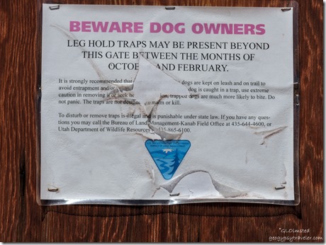
 

Leg trap warning sign Bunting Trail Kanab UtahHowever we don’t go here for the two months some assholes set out traps presumably for coyotes.  Leave it to BLM with their almost anything goes attitudes.  And the trail is sloppy after rain or snow melt that creates a sandy, clay slick mess.

Sasha Bunting Trail Kanab Utah

With clear blue skies on Monday, Bill called because Sasha wanted to get out for some exercise.  Probably needed to check her social media along this frequently visited trail.

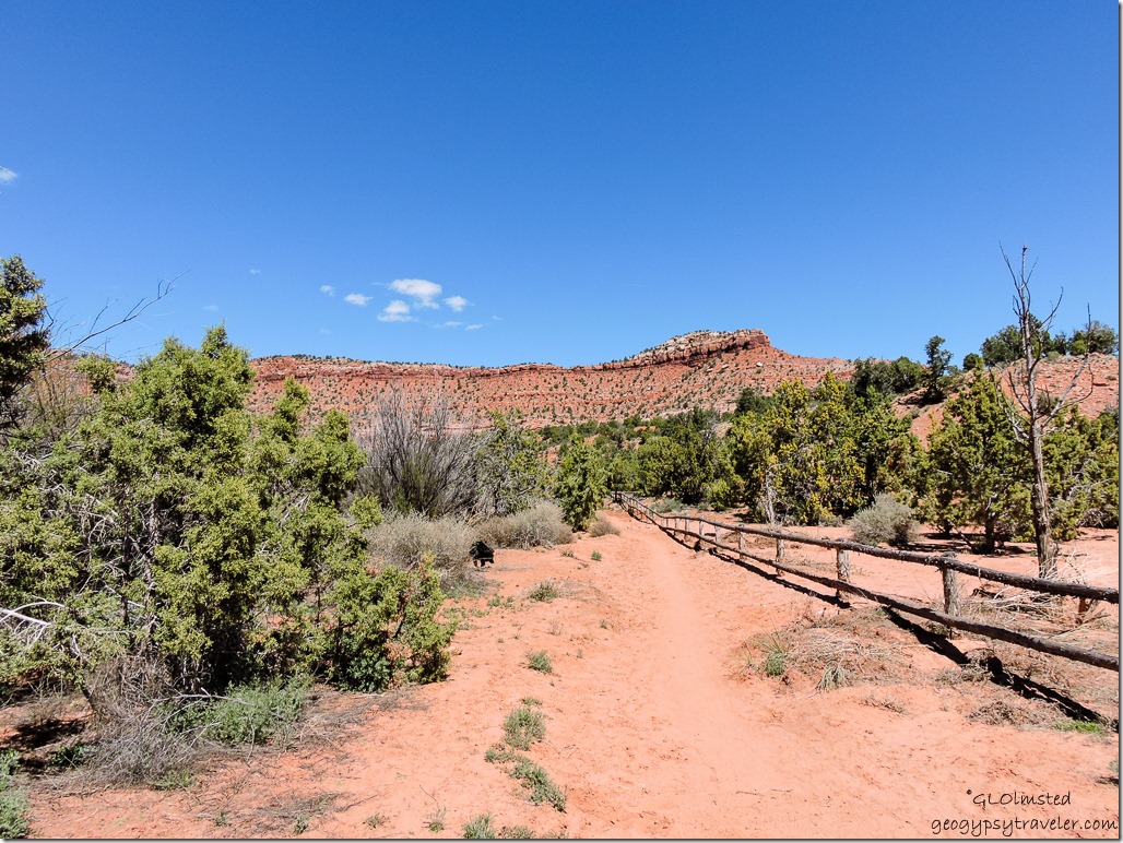
Vermilion Cliffs Bunting Trail Kanab Utah

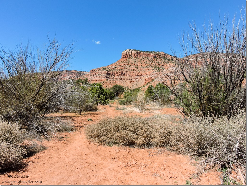
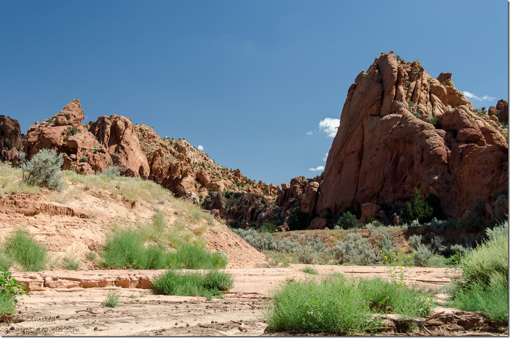
Mostly we did a slow walk in the wash, not very far because my knee is still a little sore from my curb trip a few weeks ago.  Going up isn’t too bad, down still tough, and the sand made a soft surface to exercise leg muscles.  I paused frequently to stare at the towering Vermilion Cliffs.

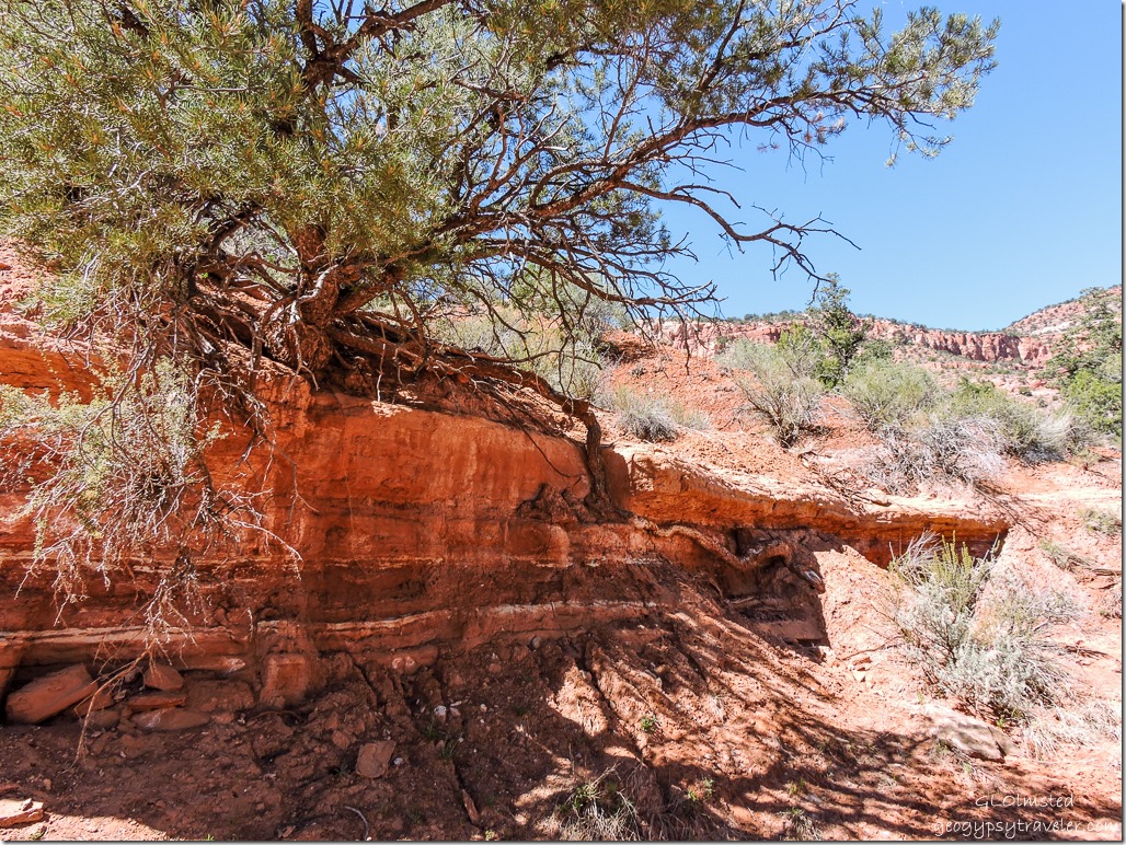
Juniper tree root in wash Bunting Trail Kanab Utah

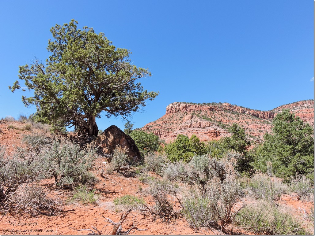
Besides where water cuts through the land it reveals so much story, layers of the rock and sand deposits and roots searching deep for water.  It was an absolutely gorgeous day in the high 60sF (15sC) with a light breeze.

Not much blooming but did see a lot of fresh growth at the tips of the Junipers.  Don’t know if it’s been too dry or the recent cold and light snow froze out the flowers.  Maybe it’s just too early for these spring blooms to show themselves.  The Tamarisk, or Salt Cedar, was leafing out, an invasive that sucks lots of water.

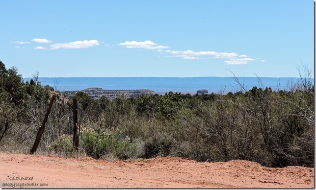
Kaibab Plateau from Bunting Trail head Kanab Utah

Didn’t make it to the dinosaur tracks this time.  But what the heck, the Bunting Trail is so close, we’re bound to be back.  Sasha will insist.  And some day I just might make it to the top where there is a small panel of petroglyphs and a bigger view.
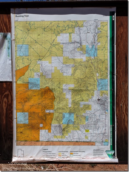
 

BLM map Bunting Trail Kanab UtahDirections to trail head
From the stoplight at the junction of SR89 and SR89A the southern end of Kanab, Utah, go south toward Fredonia then turn right on Kanab Creek Drive.  About 2 miles (3 km) through the Ranchos Subdivision turn right on Stanfield Drive.  The trail head parking is at the bottom of a hill.  This tends to be a “locals” trail yet if you’re staying in Kanab with your pet try out the dog friendly Bunting Trail.

Push my buttons!

  • Click to share on Facebook (Opens in new window) Facebook
  • Click to share on X (Opens in new window) X
  • Click to share on LinkedIn (Opens in new window) LinkedIn

Like this:

Like Loading...
Kanab, Utah Bunting Trail, dinosour tracks, hiking, petroglyphs 8 Comments
14 September 2015

The Wave and so much more wilderness

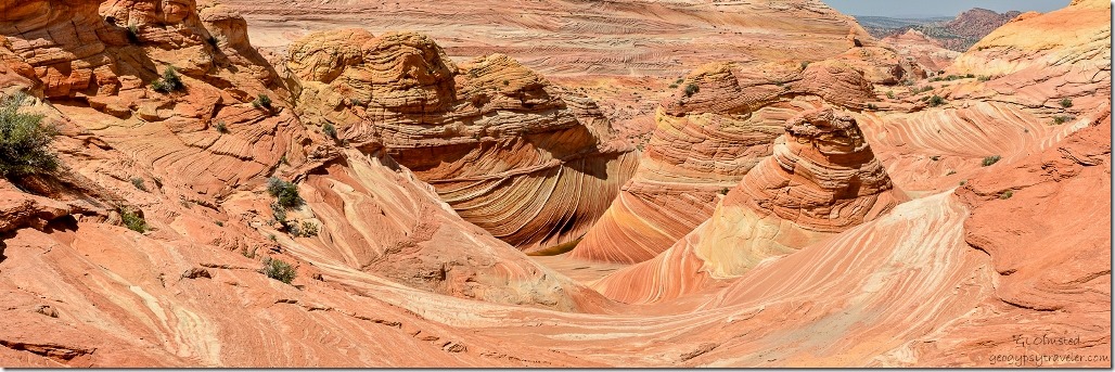
Many people make a big deal about going to see The Wave, struggling to get one of the 20 daily permits.  Yet Coyote Buttes North in the Paria Canyon-Vermilion Cliffs Wilderness is so much more than just the “feature” as Bill calls it.

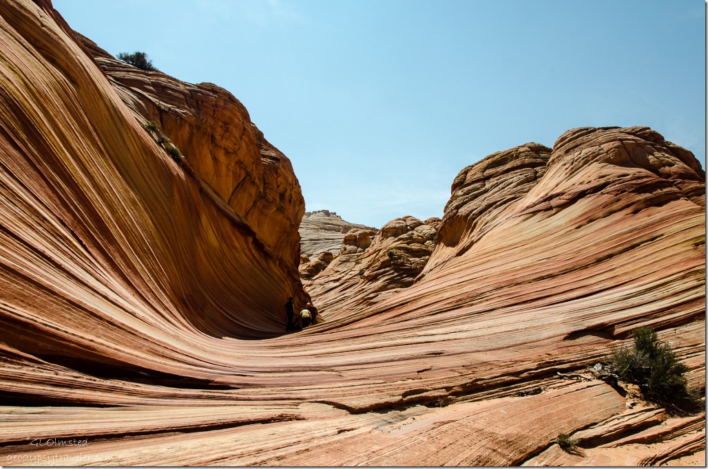
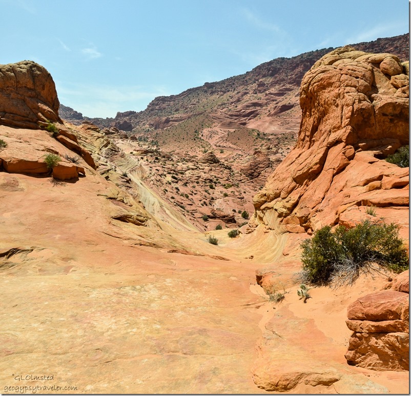
Approaching The Wave Paria Canyon-Vermilion Cliffs Wilderness ArizonaAfter the 3.7 mile hike from Wire Pass Trailhead through dry wash, sand and over contoured slick rock we approached The Wave with its sinuous lines of sandstone, like many others we’ve passed.

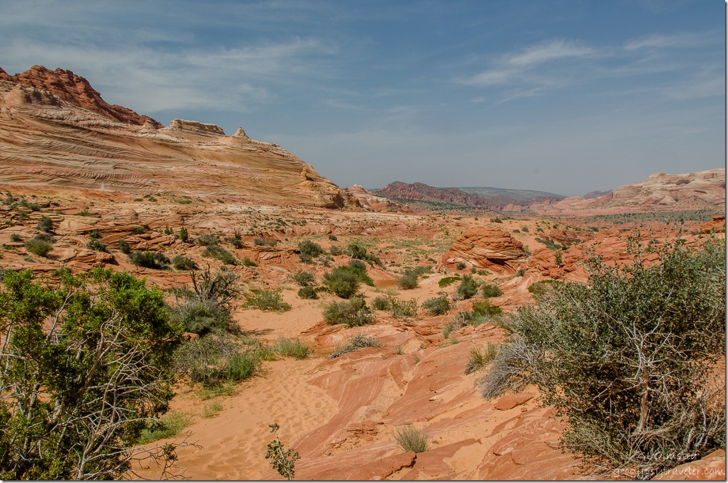
View N from The Wave Paria Canyon-Vermilion Cliffs Wilderness ArizonaLooking back I could barely believe we made it.  But we’re really not there yet.

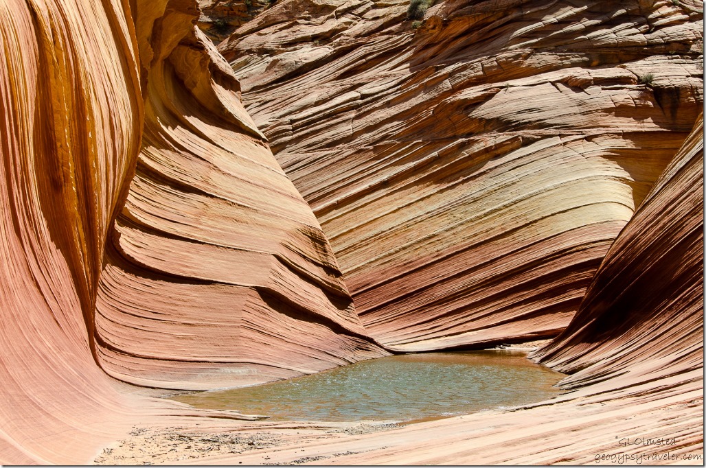
Water pool below The Wave Paria Canyon-Vermilion Cliffs Wilderness Arizona

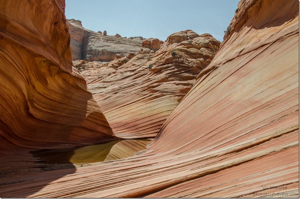
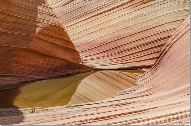
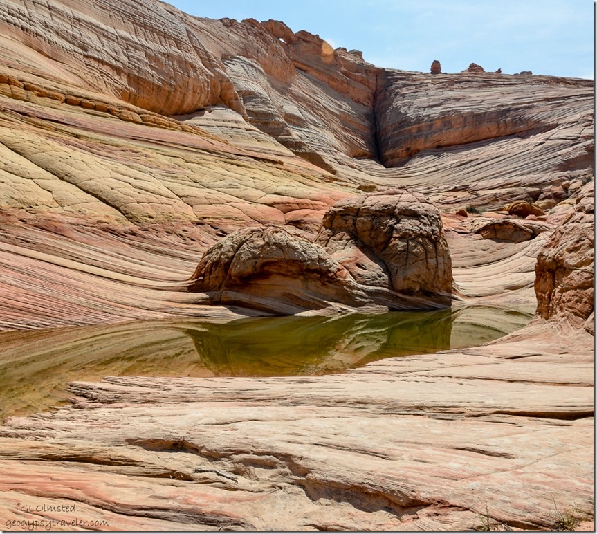
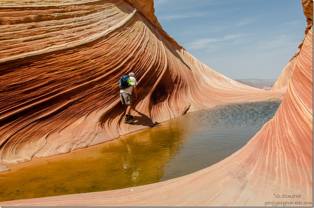
Water pool below The Wave Paria Canyon-Vermilion Cliffs Wilderness ArizonaWe had yet to walk around the water and look at the feature and beyond.

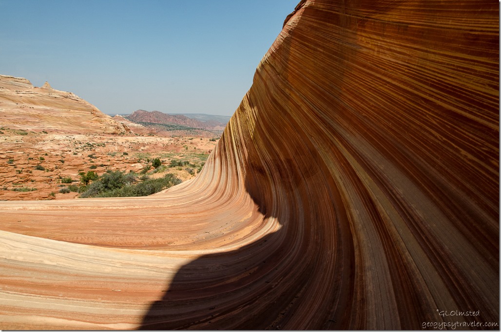
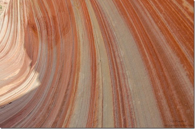
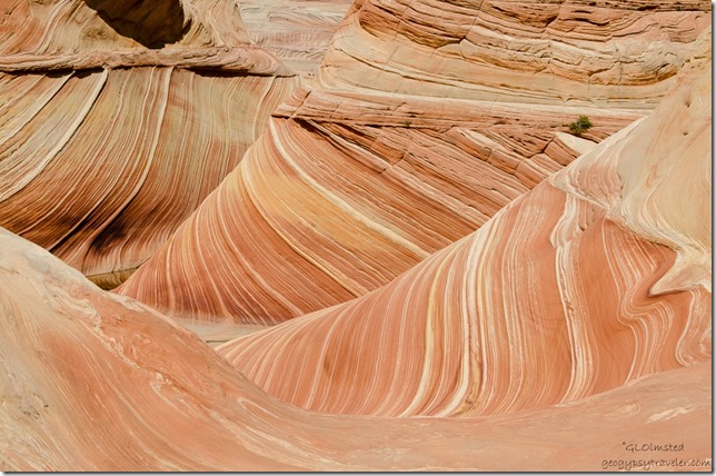
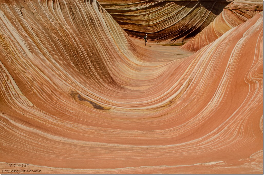
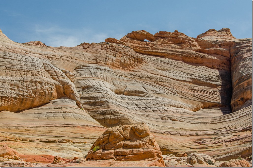
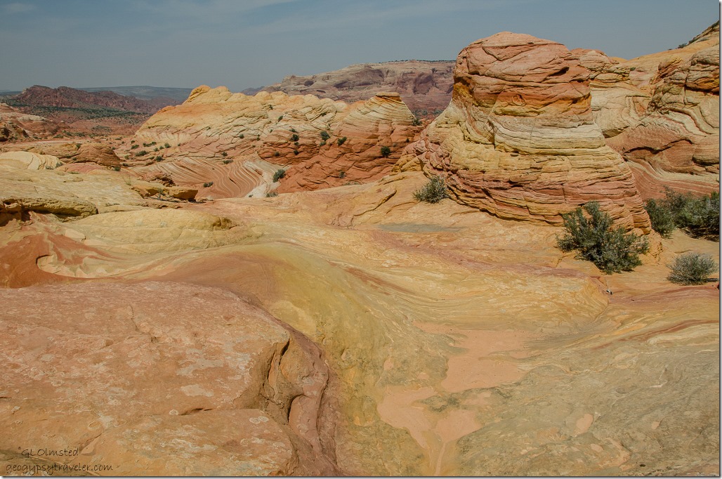
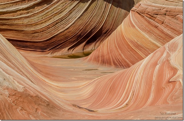
Banded colored sandstone Paria Canyon-Vermilion Cliffs Wilderness ArizonaHow to describe The Wave?  Bands of mineral colors flow over the sandstone mounds worn by eons of water and wind.  Nature’s art at its best.  But why is it all about The Wave?  Everywhere I looked there was so much beauty.

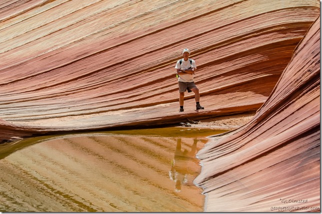
Bill by pool below The Wave Paria Canyon-Vermilion Cliffs Wilderness ArizonaBill first visited the as yet unnamed Wave in 1977, a year after starting his position with BLM (Bureau of Land Management) in Kanab, Utah.  This feature was known to only the few people who lived relatively nearby.  He visited the landscape a number of times.  During the wilderness inventory three years later in Utah, Coyote Buttes North was included due to wilderness character.  Later, while National Geographic put together the book Our Threatened Inheritance they sent a photographer with BLM employees who took them over Davis Pass to the feature, during the winter, under a promise of not disclosing the location of the area.  Yet when the story and photo proofs came out it was labeled “Coyote Buttes” and under insistence from BLM the name was dropped and the location was only alluded to.   The Paria Canyon-Vermilion Cliffs Wilderness was established in 1984 and a plan was created to allow only two groups of four into the feature daily.

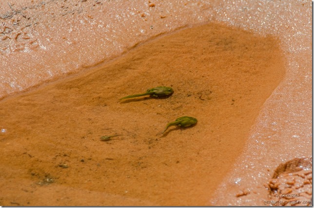
Tadpoles Paria Canyon-Vermilion Cliffs Wilderness ArizonaWe’d been told not to disturb the pools to protect rare desert species.  Who’d have thought we’d see tadpoles the size of golf balls.

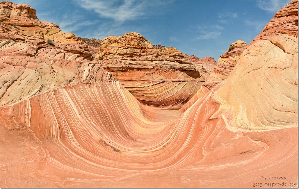
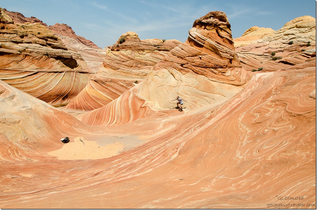
The Wave Paria Canyon-Vermilion Cliffs Wilderness ArizonaSo we skirted around the water climbing on the rock and just around the corner, there it was, The Wave.  We climbed to the top for the better view looking down.  Other hikers were polite about taking photos and then staying out of each others views.

Gaelyn above The Wave Paria Canyon-Vermilion Cliffs Wilderness ArizonaThree young German visitors had hiked past us on the way in and we saw them again when we arrived along with three others sitting in the little bit of shade offered by a sandstone wall near the pool.  We took our turn and I posed at the top ready to surf down The Wave.

The Wave Paria Canyon-Vermilion Cliffs Wilderness ArizonaA last look before climbing higher up to have lunch in the shade of a giant sandstone boulder.  Must have been close to 100F (38C).

Water pool above The Wave Paria Canyon-Vermilion Cliffs Wilderness ArizonaThat pool of water looked mighty inviting.

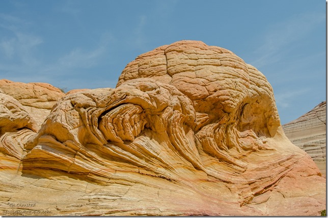
Sandstone mound above The Wave Paria Canyon-Vermilion Cliffs Wilderness Arizona Bill had concerns about the site being over visited.  Motivated by a proposal to increase fees he became a volunteer so he could access and report any possible problems.  It’s not so much the feature as the surrounding area and it’s difficult to impossible to visit because only 20 permits are issued per day.  He was curious about how the site was withstanding a steady visitation even if it’s limited, if impacts and changes were occurring.  Of course, for safety purposes I went with him.

Bill below The Wave Paria Canyon-Vermilion Cliffs Wilderness ArizonaExcept for some of the signage going in and footprints on sandy areas he didn’t notice any visible damage.  We picked up only three pieces of micro-trash.  People seem aware and respect the landscape.  He was pleasantly surprised and had thought it would have been more impacted.

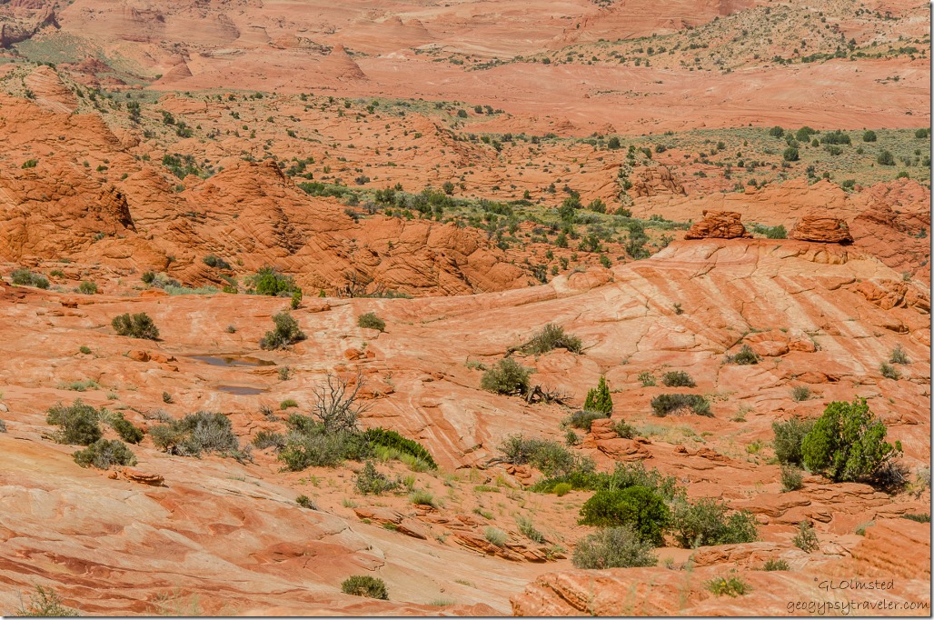
View west above The Wave Paria Canyon-Vermilion Cliffs Wilderness ArizonaWilderness is suppose to provide opportunities for primitive and unconfined recreation with solitude and a connectedness to the landscape which could be negatively impacted by over visitation.  How many of us truly get a chance to experience wilderness?

Top Rock above The Wave Paria Canyon-Vermilion Cliffs Wilderness Arizona

On top of The Wave Paria Canyon-Vermilion Cliffs Wilderness ArizonaAnd this wilderness is vast, covering 112,500 acres with so much space we should be able to immerse ourselves and never see another person.  Unfortunately this feature has been heavily promoted and focuses people to just one small piece of this hugely delicious pie.

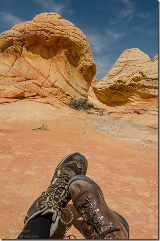
Bill & Gaelyn's feet Paria Canyon-Vermilion Cliffs Wilderness ArizonaIn fact pie would have tasted extra good for lunch but instead we settled with PBJ on flat bread, chips and olives along with copious amounts of water in a sliver of shade leaning on a huge sandstone formation.

View west above The Wave Paria Canyon-Vermilion Cliffs Wilderness Arizona

We had planned to explore beyond the feature but instead sat and absorbed the 360 degree views.  Until the shade disappeared and we could really feel the heat.  That’s when I couldn’t resist the water and soaked my shirt before heading back to the feature and the return hike.  We were both very careful not to disturb any creatures.

The Wave Paria Canyon-Vermilion Cliffs Wilderness Arizona

The Wave Paria Canyon-Vermilion Cliffs Wilderness ArizonaI’ll bet land-forms every bit as intriguing as The Wave exist in this vastly unique sandstone terrain.  Yet with no camping in the Coyote Buttes Wilderness I’d have to be a faster hiker to journey much further.

Bill by pool below The Wave Paria Canyon-Vermilion Cliffs Wilderness ArizonaBill made the walk around the pool look easy but I struggled a bit.  That sandstone is more slippery than it looks.

Pool below The Wave Paria Canyon-Vermilion Cliffs Wilderness ArizonaThe pools of water look just as foreign to the land today as they would have millions of years ago when these rocks were sand dunes.

View south from The Wave Paria Canyon-Vermilion Cliffs Wilderness ArizonaThe return walk went a little quicker.

Pools Paria Canyon-Vermilion Cliffs Wilderness UtahBill spotted two shallow pools of water to re-soak our shirts and they were dry in about 10 minutes.

Swirling sandstone Paria Canyon-Vermilion Cliffs Wilderness UtahEven though I’d paid close attention looking behind me on the hike in I saw the landscape with different eyes on the way back.  The map with photos showed landmarks for the return that were easy to spot and although I led the way in Bill lead the way out.

Bill on trail Paria Canyon-Vermilion Cliffs Wilderness UtahLeft the trailhead at 8:30am, arrived at The Wave at 11:45, after lunch, and of course more photos, left at 2pm and got back to the truck at 5.

I have to agree with Bill, the Paria Canyon-Vermilion Cliffs Wilderness is so much more than just The Wave.  Every step along the trail brought new wonders of rock and far views.  And we barely scratched the surface of what this wilderness landscape has to offer.

Push my buttons!

  • Click to share on Facebook (Opens in new window) Facebook
  • Click to share on X (Opens in new window) X
  • Click to share on LinkedIn (Opens in new window) LinkedIn

Like this:

Like Loading...
Arizona Coyote Buttes North, hike, hiking, Northern Arizona, red rock, southern Utah, The Wave 28 Comments
17 August 2015

Hiking upper Buckskin Canyon

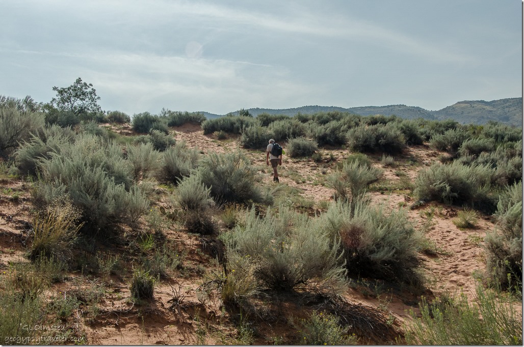
I’ve hiked a couple times maybe 2-3 miles in a slot of Buckskin Canyon south from Wire Pass so it was interesting to see a more open part of the canyon in upper Buckskin Canyon.

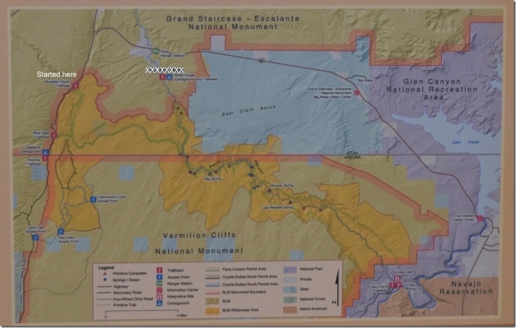
BLM map Buckskin Canyon, Paria Canyon to Lees Ferry Utah and ArizonaThe Paria Canyon/Vermilion Cliffs Wilderness Area requires one of three kinds of permits: day use, advanced day use and overnight use.  After 16 miles Buckskin Canyon joins Paria Canyon for an almost 40 mile hike to Lee’s Ferry in Glen Canyon National Recreation Area.

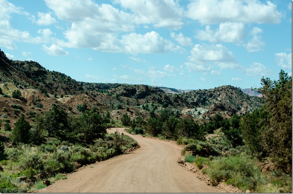
House Rock Valley Road Grand Staircase Escalante National Monument UtahAccess by House Rock Valley Road south from SR89 can be a bit rough after rains.   When we arrived at the upper Buckskin Canyon parking we saw the was a fee of $6/person and $6 for the dog.

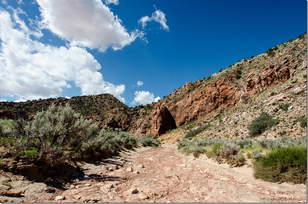
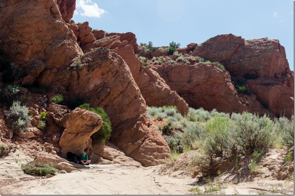
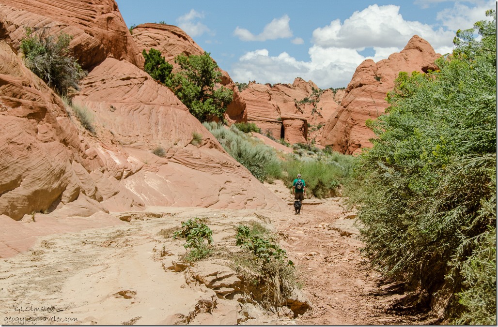
Upper Buckskin Gulch Paria Canyon/Vermilion Cliffs Wilderness area UtahYou can walk on a low bench through the vegetation or in the wash as we chose to do.

Bill & Sasha Upper Buckskin Gulch Paria Canyon/Vermilion Cliffs Wilderness area UtahBecause it was already pretty warm by 11am (we don’t seem to get very early starts) Bill and Sasha stopped in shade while I lollygagged along taking photos, many hundreds of photos, of this picturesque landscape.

Erosion on sandstone walls Upper Buckskin Gulch Paria Canyon/Vermilion Cliffs Wilderness area Utah

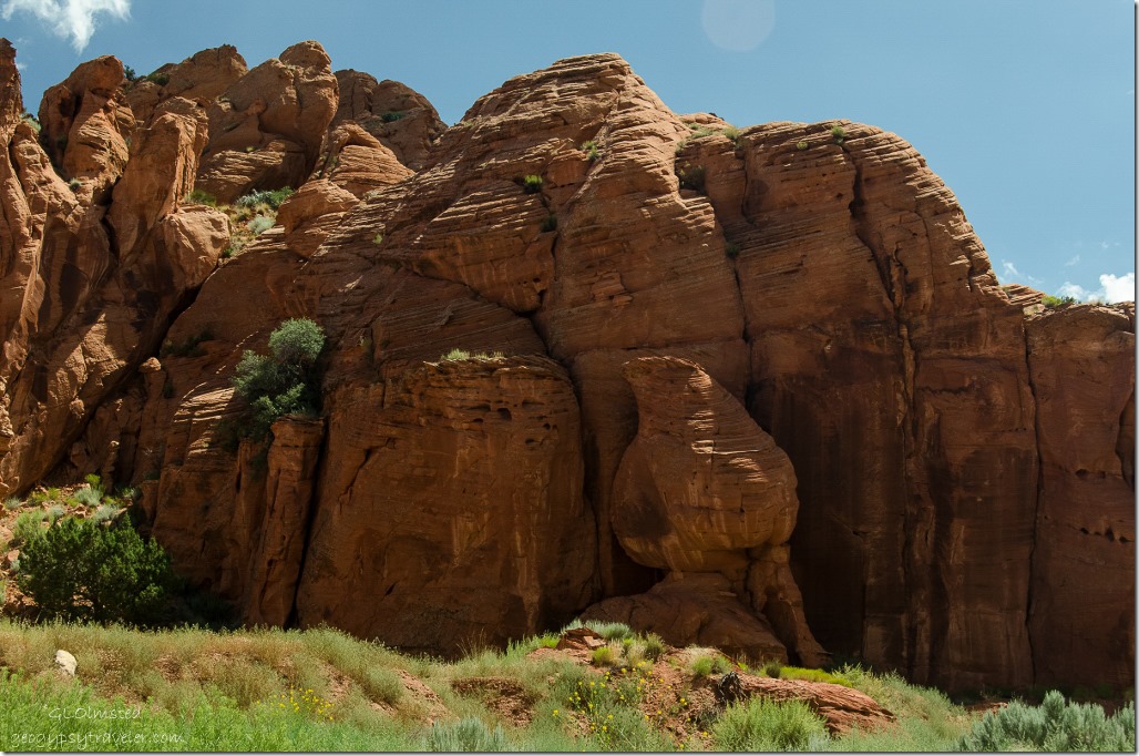
Sandstone cliffs Upper Buckskin Gulch Paria Canyon/Vermilion Cliffs Wilderness area Utah

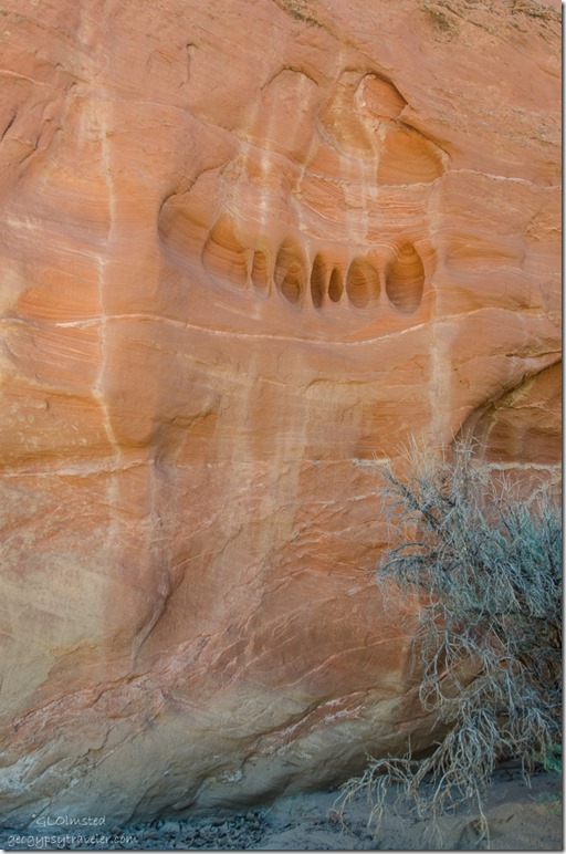
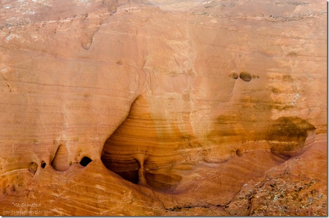
Erosion on sandstone walls Upper Buckskin Gulch Paria Canyon/Vermilion Cliffs Wilderness area UtahI see so much sculpture in the sandstone walls.  The power of water is amazing.  Do you see the silhouette of two people wrapped in a blanket above?

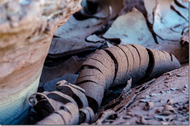
Curled cracked mud Upper Buckskin Gulch Paria Canyon/Vermilion Cliffs Wilderness area UtahAnd evidence of recent water left behind.

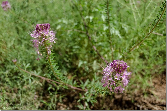
Bee plant Upper Buckskin Gulch Paria Canyon/Vermilion Cliffs Wilderness area UtahBee plant grew along the wash, once used by Natives as a binder mixed with ground minerals to make paint/glaze.

Upper Buckskin Gulch Paria Canyon/Vermilion Cliffs Wilderness area UtahWe only saw one couple on the trail and stopped to chat.  He was obsessively searching for some feature known as Edmaier’s Secret to the point he didn’t even notice the beauty around him.  He’d seen some YouTube video of getting to this mystery site with a fence for a marker.  Well there are fences all over the place here.  This is BLM (Bureau of Land Management/Bureau of Livestock and Mining) and cattle graze all over the place.  Besides, it’s a secret.

Arch Upper Buckskin Gulch Paria Canyon/Vermilion Cliffs Wilderness area UtahWe may have found it but it really wouldn’t make any difference as everywhere I looked was beautiful.

Possible cat track Upper Buckskin Gulch Paria Canyon/Vermilion Cliffs Wilderness area UtahMaybe a cat track in the sand?

Sasha by sandstone fins Upper Buckskin Gulch Paria Canyon/Vermilion Cliffs Wilderness area Utah

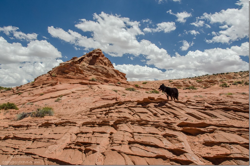
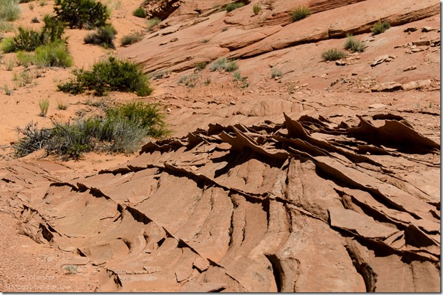
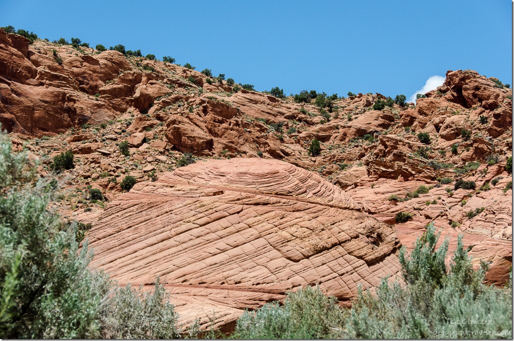
Sandstone fins Upper Buckskin Gulch Paria Canyon/Vermilion Cliffs Wilderness area Utah After seeing a fence along the left side of the wash we took a side trip.  We climbed through the barbwire, clambered over 300 feet of soft rolling sand dunes onto slick rock with sharp fins of harder sandstone.

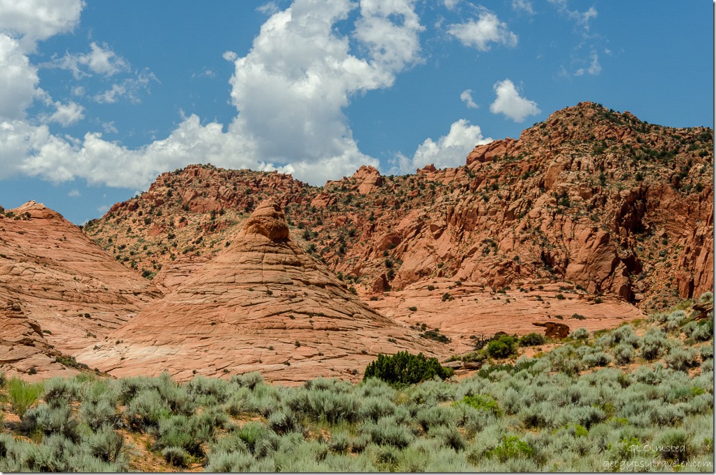
Teepee rock Upper Buckskin Gulch Paria Canyon/Vermilion Cliffs Wilderness area UtahI could have just walked into this landscape for hours, or even days.  We talked about an overnight backpack to just lay on the rock and watch the stars.

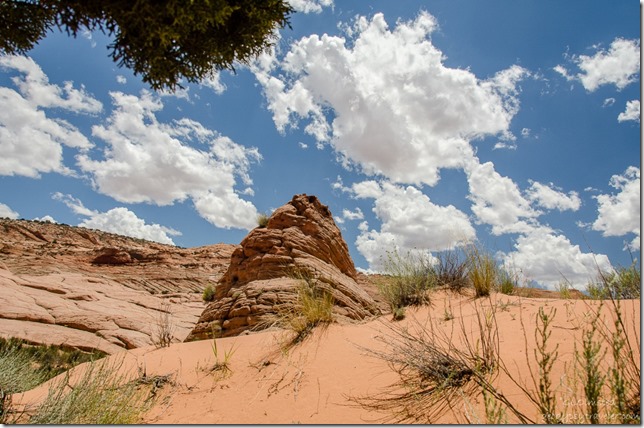
Dunes & sandstone formation Upper Buckskin Gulch Paria Canyon/Vermilion Cliffs Wilderness area UtahFound a large juniper tree and hid in its shade for lunch.

Sandstone formation Upper Buckskin Gulch Paria Canyon/Vermilion Cliffs Wilderness area Utah

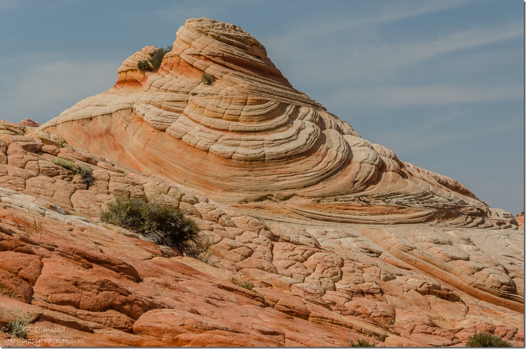
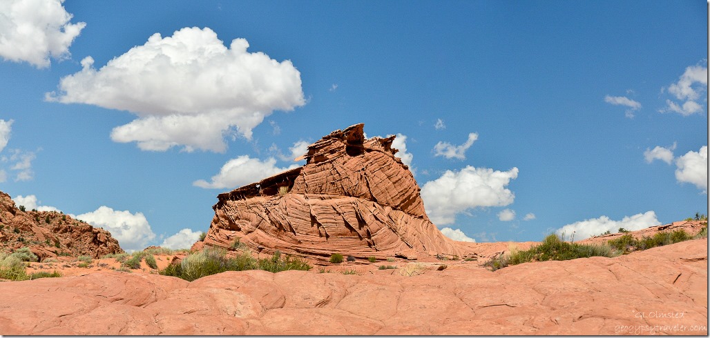
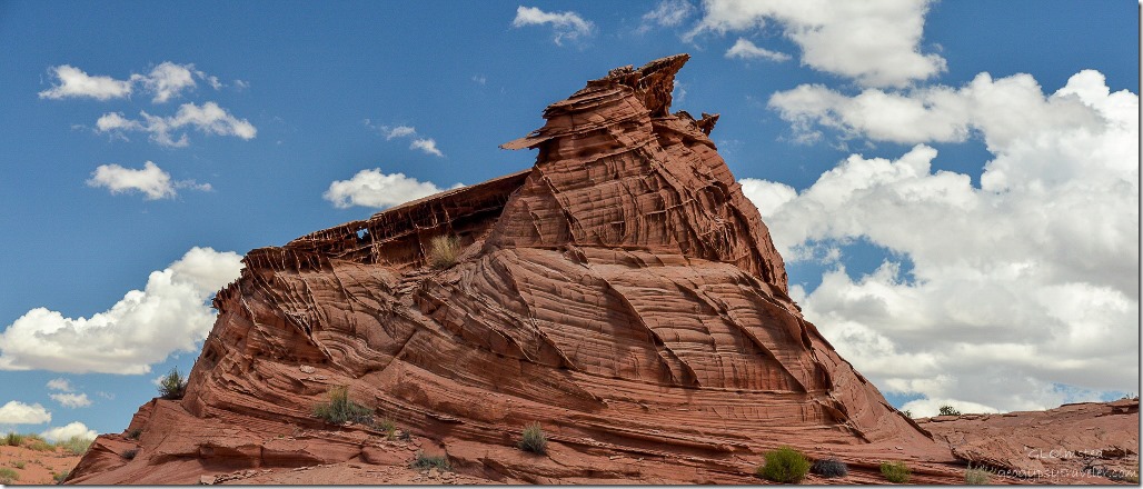
Sandstone formation Upper Buckskin Gulch Paria Canyon/Vermilion Cliffs Wilderness area UtahThis one giant shape entranced me.  Such artistic shapes and textures formed by ancient sand dunes, water and wind.

Toadstool Upper Buckskin Gulch Paria Canyon/Vermilion Cliffs Wilderness area Utah

Upper Buckskin Gulch Paria Canyon/Vermilion Cliffs Wilderness area UtahBy 2pm the temperature had increased noticeably and the sand and stone was getting hot so after lunch we hurried back to the wash to get Sasha on cooler ground with shade options.

Bedding planes Upper Buckskin Gulch Paria Canyon/Vermilion Cliffs Wilderness area Utah

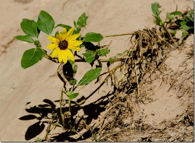
Daisy Upper Buckskin Gulch Paria Canyon/Vermilion Cliffs Wilderness area UtahWe hoofed it back at a little faster pace but of course I still took photos along the way.

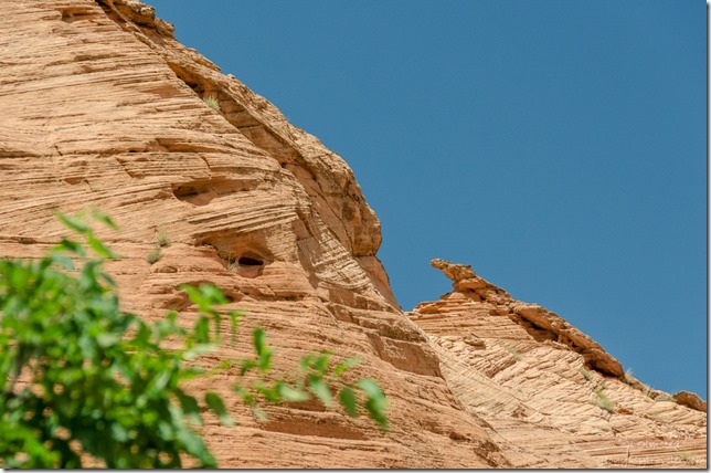
Sandstone formation Upper Buckskin Gulch Paria Canyon/Vermilion Cliffs Wilderness area UtahAlong the last stretch Bill and Sasha took a shortcut over a bench while I walked in a loop of the wash.  Nice thing about coming in last is arriving to a pre-airconditioned truck.

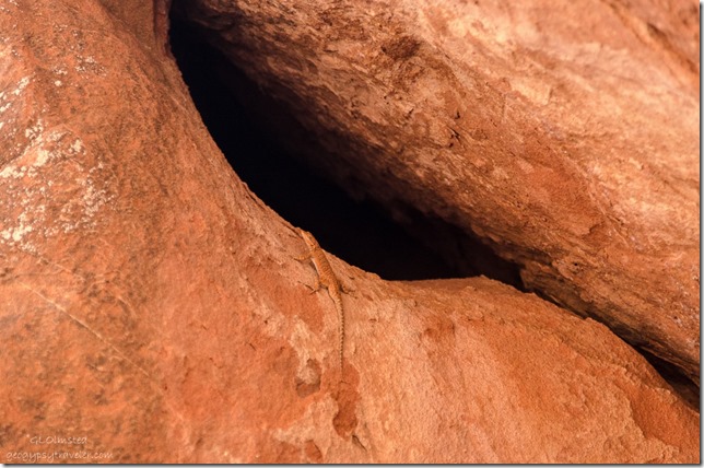
Lizard on sandstone Upper Buckskin Gulch Paria Canyon/Vermilion Cliffs Wilderness area UtahEverywhere Bill shows me in southern Utah needs a return visit, in cooler temperatures.

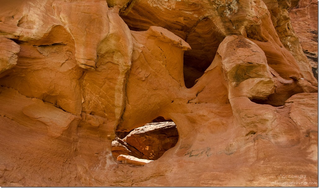
Hole in sandstone Upper Buckskin Gulch Paria Canyon/Vermilion Cliffs Wilderness area Utah“The Colorado Plateau is to the geologist a paradise. Nowhere on the earth’s surface, as far as we know, are secrets of its structure so fully revealed as here.”  –Clarence E. Dutton, 1882

Push my buttons!

  • Click to share on Facebook (Opens in new window) Facebook
  • Click to share on X (Opens in new window) X
  • Click to share on LinkedIn (Opens in new window) LinkedIn

Like this:

Like Loading...
Buckskin Gulch, Utah hiking 14 Comments
← Older posts
Newer posts →

Hi, I’m Gaelyn, the Geogypsy

I retired after 29 summer seasons as a Park Ranger, traveling solo for 40+ years. My passions include travel, connecting to nature, photography, and sharing stories.

I started exploring US National Parks in 1977 and 20 years later became a seasonal Park Ranger.  I’ve lived full-time in a RV for 30 years working summers and playing winters.  I’m still trying to figure out what I want to be when I grow old, other than grow up.

Let’s share our stories.  Here’s more of mine…

My wheeleastate

I am currently…

…boondocking somewhere in southern Arizona.  In the area, give a shout.

Geogypsytraveler on YouTube

Follow my journey on YouTube. Just click the pic. Hope you’ll like, share, and subscribe.

Click image for 7 minute documentary (Password “geogypsy” lowercase)

Making the Gypsy documentary is a story of its own.  Click below for the rest of the story.

Living nomadically & connecting to nature documentary

Subscribe to Blog via Email

Enter your email address to subscribe to this blog and receive notifications of new posts by email.
Photos available for sale include prints, greeting cards, coffee mugs, tote bags, phone cases and more

Reflected Wave 24X16 metal print under $100

Custom Coffee Mugs

Many items to choose from including prints

The Last Blast 24 x 16″ metal print under $100

Need a signal boost? When I boondock on public lands sometimes signal is weak or intermittent and a booster helps. Click the pic to visit WeBoost.
Connecting to nature and the rest of the world too.

Please contact me for photo purchases not seen at GLOlmsted Photography

Order fulfillment is by Fine Art America. If you’re not happy with your purchase, for any reason, simply return it within 30 days, and you’ll receive a full refund of the purchase price.

Why read Geogypsy?

The gypsy life spring-summer 1998 - "You were a real pioneer. RV'ing before it was cool." ...Yogi

How do you process photos? - “Your photographs create an Emotional feeling in the viewer...that they become One with You.” …Cindy

Life’s transitions between travel and work play - "I know you love your job as much as you love travel -- it shines through all your posts." ...Sallie

Lions at Kruger National Park - “Wonderful post, thank you. I was hooked start to finish!” … Peter B

11 lessons looking back 2013 - “A great post -- made me think, made me smile, made me want to cry." ...Sallie

Wildlife video Kruger National Park - “Gorgeous, this makes me want to go straight to South Africa now.” … Ayngelina

Living nomadically & connecting to nature documentary - “What an experience you had and gave to the "crew." Sometimes I think you don't realize how unique and inspiring you are.” …Alan

Search

Popular Posts

1. Prioritize the well-being of nature over photography. 2. Educate yourself about the places you photograph. 3. Reflect on the possible impact of your actions. 4. Use discretion if sharing locations. 5. Know and follow rules and regulations. 6. Always follow Leave No Trace principles and strive to leave places better than you found them. 7. Actively promote and educate others about these principles

Categories

Archives

Sites I follow, read & recommend

  • A Full-time Life
  • A Yankee in Belgrade
  • Bob's Eyes
  • Box Canyon Blog
  • Camels and Chocolate
  • Dawns bloggy blog
  • In the Direction of Our Dreams
  • Jane in her infinite wisdom
  • Janie and Steve, Utah Trails
  • Kathie's Birds
  • Las Adventuras
  • Memorable Meanders
  • Oh, The Places They Go
  • On the Road Abode
  • Port Elizabeth Daily Photo
  • Stillhowlyntravels
  • Take to the Highway
  • Technomadia
  • the good luck Duck
  • Travel with the Bayfield Bunch
  • Wandering Earl
  • Wheeling It
  • Yogi's Den

Caught in a Slot 9×12 canvas print under $50

If you don’t like what’s going on in your government, contact your Congress

Directory of Senators

Directory of Representatives

Lijit

© Copyright 2008-2024. Geogypsytraveler.com
%d