March 7, 2017
At Death Valley National Park it’s easy to discover gold, even if it’s not a precious metal. I found it hiking Golden Canyon and chasing the sunset.
 Death Valley is often described as the hottest, driest, lowest, highest, and wildest of national parks. Summer temperatures can exceed 115°F, average annual precipitation about 2.5 inches, Badwater Basin at –282 feet (below sea level), Telescope Peak at 11,040 feet, and 92% of the 3.1 million acres is designated wilderness.
After avoiding abduction in Area 51 I felt ready for the extremes of Death Valley National Park. You know I love the desert, but this section of NV373 is pretty flat and boring with only a few scattered buildings in various states of disrepair. Somebody’s dream that didn’t make it in the middle of nowhere. A sign for the Knights of Columbus. Is that like the Templers from days of old? Can’t understand why any aliens would want to land here except maybe for the whores at the cathouse.
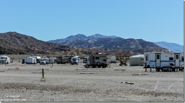 Across the border, CA190 dips in washes but with good pavement is adequate for any rig. I noted a boondocking area south of the highway and not far from the park entrance. Yet I continued on and grabbed a site at Sunset campground, not because it’s pretty, but the view’s not bad and it’s centrally located near Furnace Creek visitor center and other services that I thankfully didn’t need at the inflated prices of anything. (Diesel was almost $5/gal.) But at $14/night—a twofer with the senior pass—this huge level gravel parking lot with painted lines does have intermittent internet signal, and allows generators. I took it just for sleeping in the park two nights.
Next stop, visitor center for information, maps, papers, and Ranger advice. Scotty’s Castle could be closed until 2018. Several roads were closed because of snow or repairs. Always a good idea to check on current conditions. I’m always watching for wildlife along roads. Because the National Park Service tends to focus visitors to “features” the speed limit between viewpoints and overlooks often fluctuates between 25-65 mph. The later seems way too fast to me considering there’s so much to see along the way. I spent the afternoon slowly exploring south on the Badwater Road headed for the Ranger recommended sunset at Mormon Point.
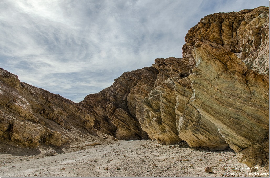
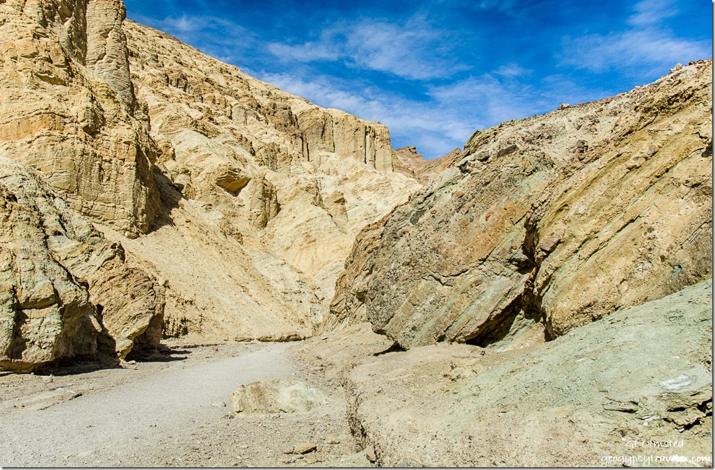
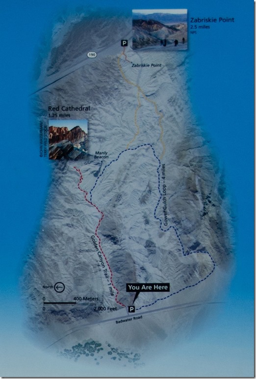 First stop, Golden Canyon, considered the most popular hike in the park. A moderate 3 mile round trip trail with some easy rock scrambling ending at a canyon headwall. Or make the hike longer on the Gower Gulch Loop or head to Zabriskie Point.
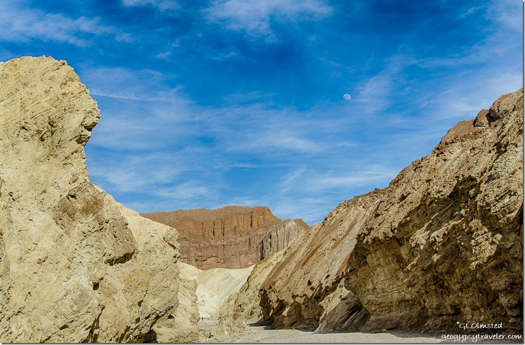
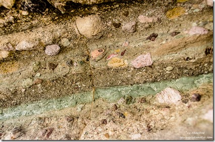 Needless to say, I didn’t make it that far being constantly distracted by the carved rock walls of sediments deposited over time, tilted and not, filled with salt-grain to jeep-size rock washed down from the Amargosa Range.
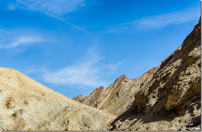 Shapes, textures and colors demanded my time and inspection. Ancient exposed muds provided a pallet for some idiots to carve their mark. It may take a decade for nature to dissolve this vandalism.
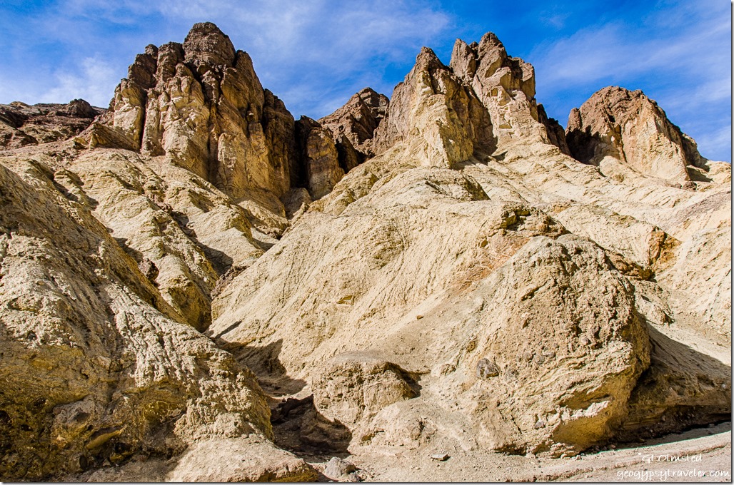 The beginnings of side canyons formed by water speaks loudly for the power of water.
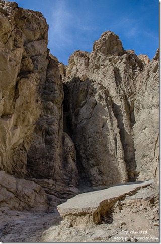 Once a road traveled up the canyon but now only remnants of asphalt remain looking rather out of place like a sidewalk across the Sahara.
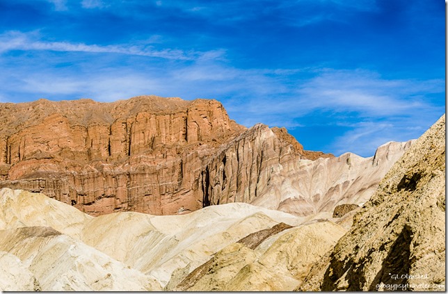 I strolled about an hour up canyon, Red Cathedral within sight but not my destination.
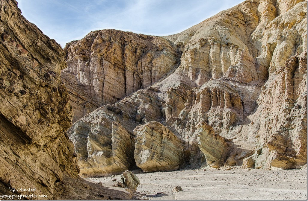 Then back in half the time yet seeing different forms and light. With Artists Drive closed for repairs, I parked on the shoulder for a while to enjoy the calico colors at the base of the Amargosa Range. Hard to believe the rocky fans below these magnificent mountains weren’t blanketed in yellow like last year for at super bloom.
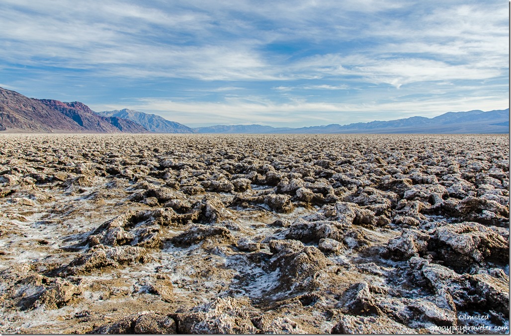
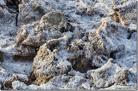 Next stop, Devils Golf Course, note all the deathy names. Deposited by ancient salt lakes and shaped by wind and rain, jagged crystallized salts constantly change by the forces of nature. And also sadly by ignorant visitors who walk onto the fragile landscape. The Death Valley salt-pan is one of the largest protected salt-pans in North America. It is said that on a warm quiet day you may hear a metallic clicking sound as the salt pinnacles expand and contract. All I heard was people talking.
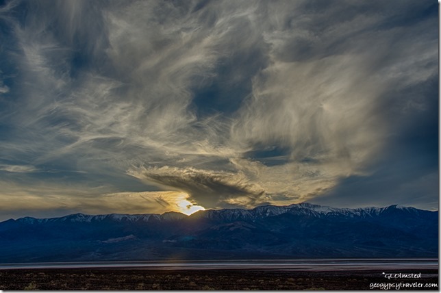
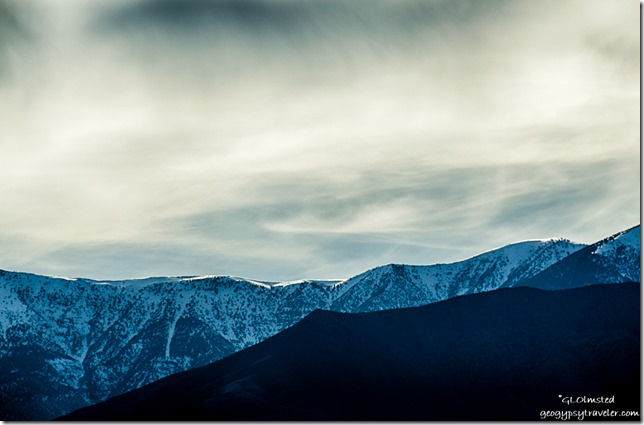 High above this harsh dry environment towers the Panamint Range buried in snow that come spring melt will, hopefully, bring life giving waters to the valley floor.
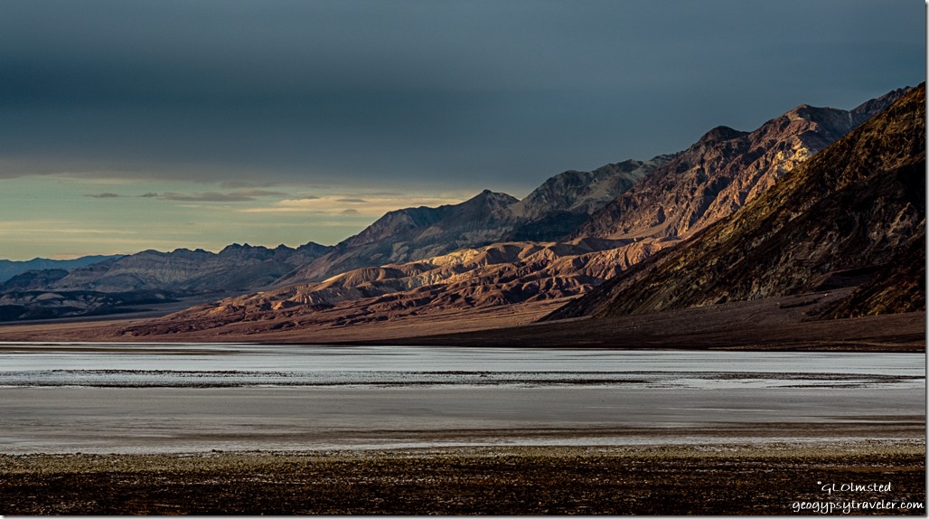 I continued following the twisty road past the crowded official Badwater parking to Mormon Point. But it is way too far away from the campground for a dark return drive.
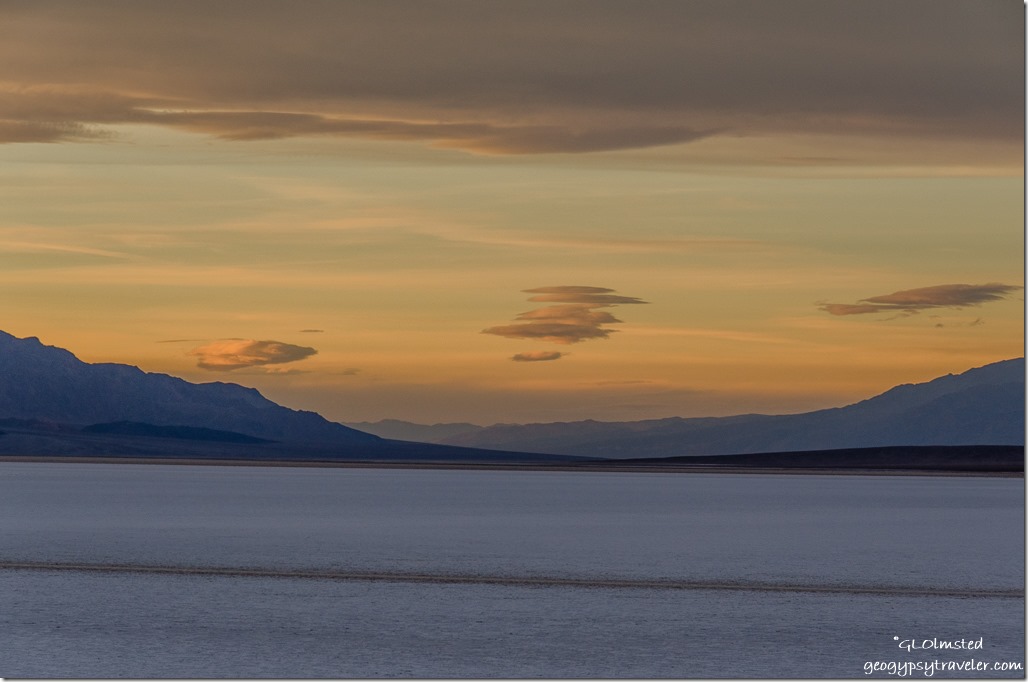
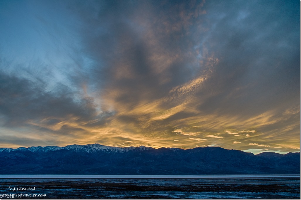
 So I returned to the Badwater area where the shoulder was full of telltale photographers and found an open piece of shoulder to see what unfolded.
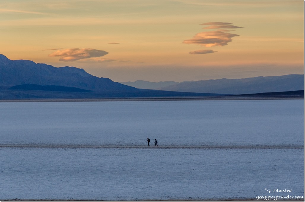 I still didn’t stay for the entire show. Yet some folks did.
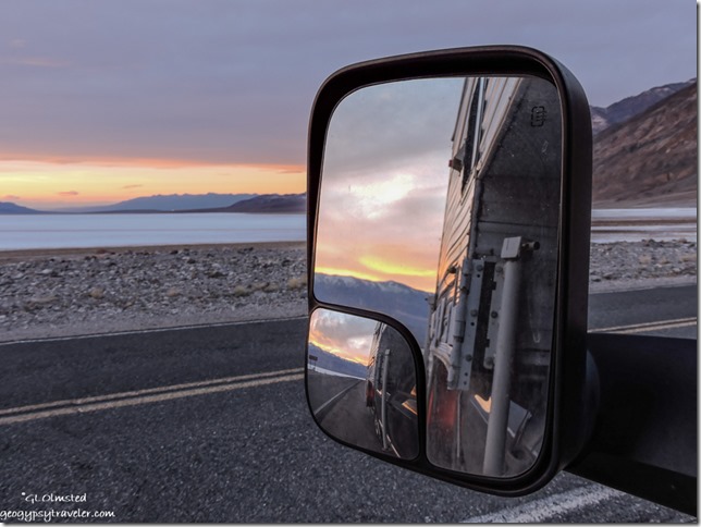
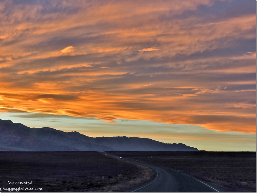 But did take pics while driving back to camp.
Because I don’t particularly like to drive after dark, get out of bed before daylight, or stay up all night for stars, I place limitations on myself and the photography. Yet the next morning I forced myself up early to get to the Mesquite Flat Sand Dunes.

