• Home
  • About Geogypsy
    • Herstory
    • Parks where I’ve worked
  • Places I’ve been
    • United States
      • Arizona
        • Antelope Slot Canyon
        • Casa Grande Ruins National Monument
        • Colossal Cave Mountain Park
        • Flagstaff
        • Glen Canyon National Recreation Area
        • Grand Canyon National Park
          • Grand Canyon National Park North Rim
          • Grand Canyon National Park South Rim
          • Toroweap
        • Havasu Canyon
        • Horseshoe Bend
        • Jerome
        • Kaibab National Forest
        • Lee’s Ferry
        • Meteor Crater
        • Navajo Bridge
        • Oak Creek Canyon
        • Painted Desert
        • Pipe Springs National Monument
        • Prescott
        • Quartzsite
        • Saguaro National Park
        • Sedona
        • Sunset Crater Volcano National Monument
        • Vermilion Cliffs
        • Walnut Canyon National Monument
        • Wupatki National Monument
        • Yarnell
      • California
        • Anzaberrego
        • Bakersfield
        • Death Valley National Park
        • Joshua Tree National Park
        • Redwoods NP
        • Salton Sea
        • Yucca Valley
      • Colorado
        • Mesa Verde National Park
      • Florida
      • Illinois
        • IL River
        • Morton Arboretum
        • Starved Rock State Park
      • Michigan
      • Nevada
      • New Mexico
      • Oregon
        • Crater Lake NP
        • Mt Hood
        • Oregon Caves National Monument
      • Texas
        • Alpine Texas
        • Padre Island
        • Port Isabel
        • Rio Grande Valley
      • Utah
        • Brian’s Head
        • Bryce Canyon National Park
        • Buckskin Gulch
        • Cedar Breaks National Monument
        • Cedar City
        • Coral Pink Sand Dunes State Park
        • Dixie National Forest
        • Grand Staircase Escalante National Monument
        • Johnson Canyon
        • Kanab
    • World Travels
      • Germany
      • Mexico
      • South Africa
  • Tours
  • Photography
  • Work with Me
    • Sponsors
  • Contact
Geogypsy
Menu
  • Home
  • About Geogypsy
    • Herstory
    • Parks where I’ve worked
  • Places I’ve been
    • United States
      • Arizona
        • Antelope Slot Canyon
        • Casa Grande Ruins National Monument
        • Colossal Cave Mountain Park
        • Flagstaff
        • Glen Canyon National Recreation Area
        • Grand Canyon National Park
          • Grand Canyon National Park North Rim
          • Grand Canyon National Park South Rim
          • Toroweap
        • Havasu Canyon
        • Horseshoe Bend
        • Jerome
        • Kaibab National Forest
        • Lee’s Ferry
        • Meteor Crater
        • Navajo Bridge
        • Oak Creek Canyon
        • Painted Desert
        • Pipe Springs National Monument
        • Prescott
        • Quartzsite
        • Saguaro National Park
        • Sedona
        • Sunset Crater Volcano National Monument
        • Vermilion Cliffs
        • Walnut Canyon National Monument
        • Wupatki National Monument
        • Yarnell
      • California
        • Anzaberrego
        • Bakersfield
        • Death Valley National Park
        • Joshua Tree National Park
        • Redwoods NP
        • Salton Sea
        • Yucca Valley
      • Colorado
        • Mesa Verde National Park
      • Florida
      • Illinois
        • IL River
        • Morton Arboretum
        • Starved Rock State Park
      • Michigan
      • Nevada
      • New Mexico
      • Oregon
        • Crater Lake NP
        • Mt Hood
        • Oregon Caves National Monument
      • Texas
        • Alpine Texas
        • Padre Island
        • Port Isabel
        • Rio Grande Valley
      • Utah
        • Brian’s Head
        • Bryce Canyon National Park
        • Buckskin Gulch
        • Cedar Breaks National Monument
        • Cedar City
        • Coral Pink Sand Dunes State Park
        • Dixie National Forest
        • Grand Staircase Escalante National Monument
        • Johnson Canyon
        • Kanab
    • World Travels
      • Germany
      • Mexico
      • South Africa
  • Tours
  • Photography
  • Work with Me
    • Sponsors
  • Contact

Tag: geology

07 December 2015

A drive through Capitol Reef National Park home to Kanab

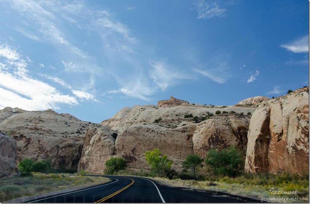
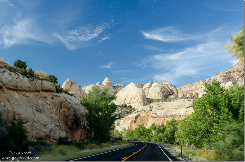
UT24 Capitol Reef National Park UtahOctober 1st, it was late in the afternoon of our last of a five-day vacation, National Park site #5 with only enough time to drive through Capitol Reef National Park home to Kanab.  I visited this park about 40 years ago.  It was summer, I had a dog and was driving a Vega.  Didn’t get to explore enough that time either.  Bill says the best parts of the park are off backroads, 4×4, north and south of the paved Capitol Reef Country Scenic Byway, UT24.

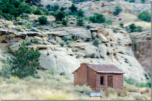
Behunin cabin Capitol Reef National Park UtahI could live here

The highway parallels the Freemont River which waters a line of trees, mostly cottonwood.  And because there’s water people have been attracted to the area for over 2000 years.  Around 500 BCE the Freemont Culture settled and farmed leaving behind their mysterious petroglyph and pictograph stories on stone.  Mormon pioneers arrived in the 1800s planting orchards of apples, pears, and peaches.
UT24 Capitol Reef National Park Utah

UT24 Capitol Reef National Park Utah

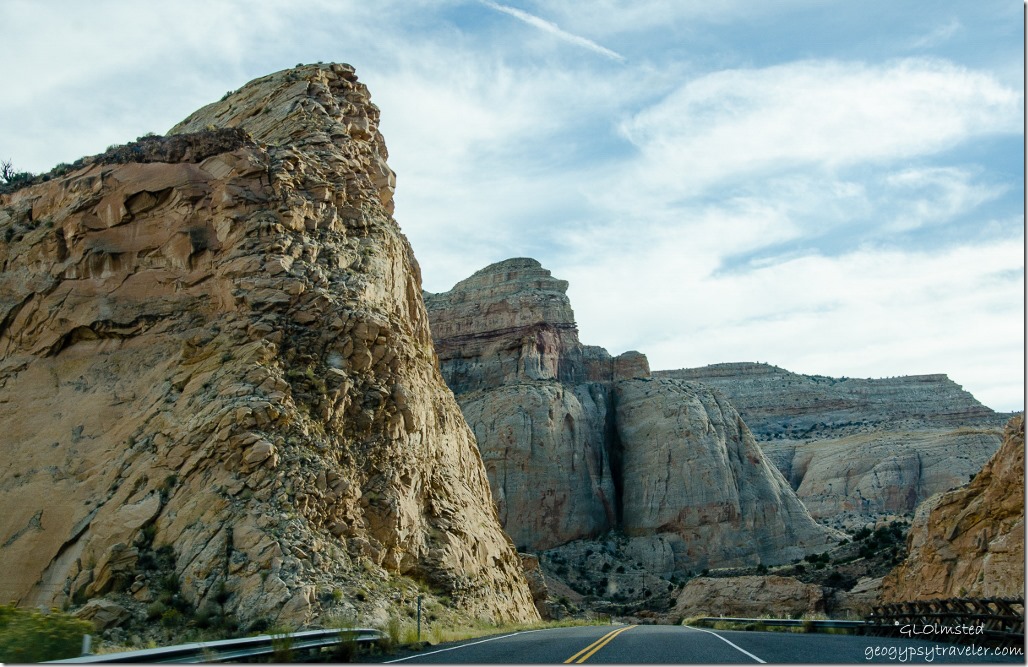
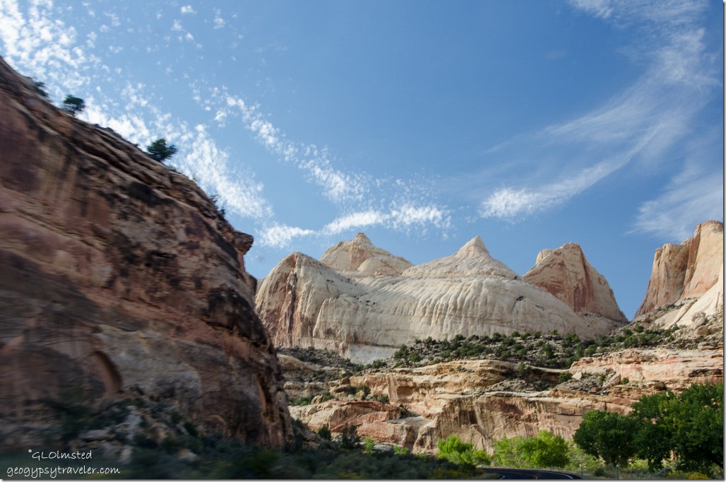
UT24 Capitol Reef National Park UtahFirst proclaimed a national monument by Pres FD Roosevelt in 1937 and later increased in size four times to almost a quarter million acres when designated a national park under Pres. Nixon in 1971.  Capitol Reef National Park was established primarily to preserve geologic features, such as the scenic rock domes, narrow canyons and the Waterpocket Fold.  Capitol for the white domes of Navajo Sandstone that resemble capitol building domes, and reef for the rocky cliffs which are a barrier to travel, like a coral reef.
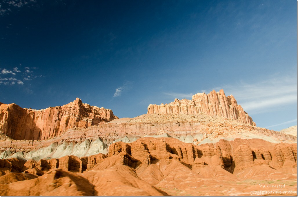
UT24 Capitol Reef National Park UtahThis protected landscape includes nearly 200 million years of geologic history.  Ancient environments varied as rivers and swamps, Sahara-like deserts and shallow oceans depositing layers of sediments.  50-70 million years ago tectonic forces warped the land lifting the west side of the fold 7000 feet higher than the tilted east side.
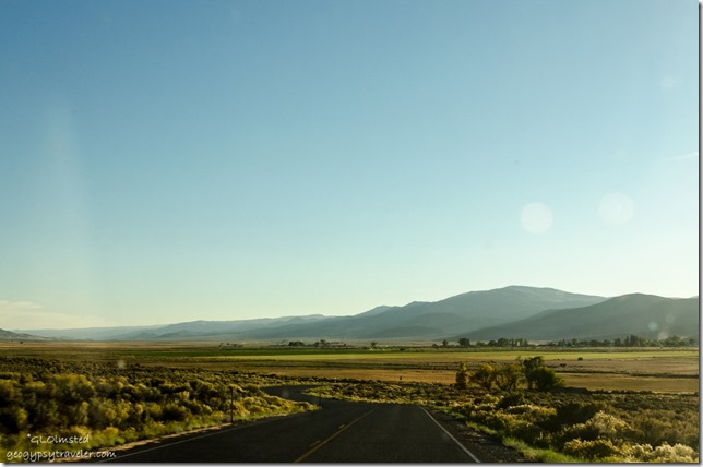
Road home UtahFrom Capitol Reef we slipped through Torreytown, as Bill calls it, and continued along SR24.  At Loa we turned away from the Freemont River.   At Koosharem we turned southwest on SR62 and finally to US89 for the last leg home to Kanab.

Although I knew a five day vacation wasn’t near enough, and never is, this was a reconnaissance trip for future journeys.  I did feel like a “bloody tourist” trying to cram in as much as possible in a way too short period of time.  Hovenweep deserves further archeological explorations along with its CO neighbor Canyon of the Ancients.  Natural Bridges screams to be hiked.  We barely opened the doors to Canyonlands.  Arches cries to be hiked with more to explore camping outside the park on the Colorado River.  So many more back roads to explore.   And the quick drive through Capitol Reef was a major tease.  I want to return to every park and the surrounding areas really spending some quality time.  But I need to be able to survive colder temps to explore these places during the winter, which might be a less crowded time to visit national parks.

 

Push my buttons!

  • Click to share on Facebook (Opens in new window) Facebook
  • Click to share on X (Opens in new window) X
  • Click to share on LinkedIn (Opens in new window) LinkedIn

Like this:

Like Loading...
Capitol Reef National Park, National Parks and Monuments, Utah Capitol Reef Country Scenic Byway, geology 24 Comments
25 July 2013

Wildlife and Geology at Camdeboo National Park South Africa

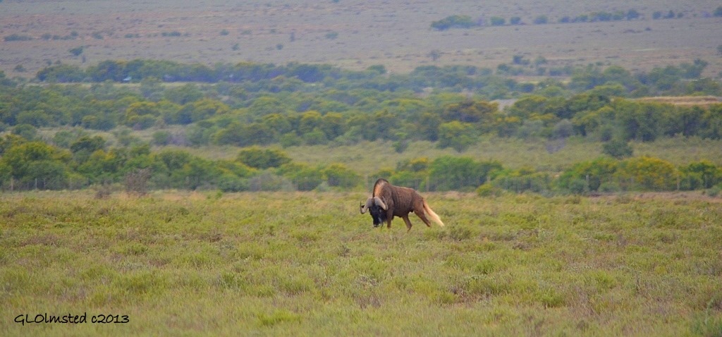
Black Wildebeest Camdeboo National Park Eastern Cape Graaff-Reinet South Africa

Black Wildebeest on the plains

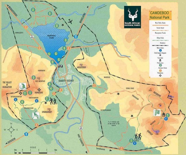
After a long day on the road with stops at Ganora and the Owl House we pulled in to Camdeboo National Park.  We were directed to our campsite at Nqweba and I asked about the overlook I’d read about for sunset.  The woman at the reception desk didn’t seem to know what I was talking about so after studying the map we headed for the highest point past the Toposcope lookout to the end of the road.  And saw some wildlife along the way.

Nqweba Dam Camdeboo National Park Eastern Cape Graaff-Reinet South Africa

Nqweba Dam

Graaff-Reinet from Camdeboo National Park South Africa

Graff-Reinet

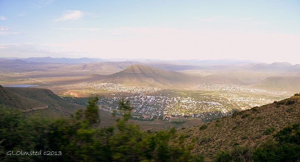
The Valley Road wound it’s way through spectacular and changing vegetation as we climbed upwards.  Plus provided expansive views of the Nqweba Dam and 200-year old town of Graff-Reinet below.

Valley of Desolation Camdeboo National Park Eastern Cape Graaff-Reinet Sout Africa

Valley of Desolation

Dolerite cliffs above Valley of Desolation Camdeboo National Park Eastern Cape Graaff-Reinet South Africa

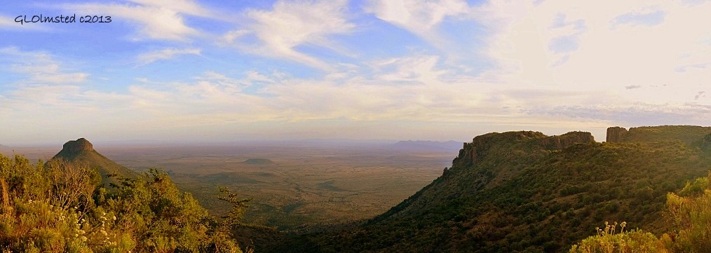
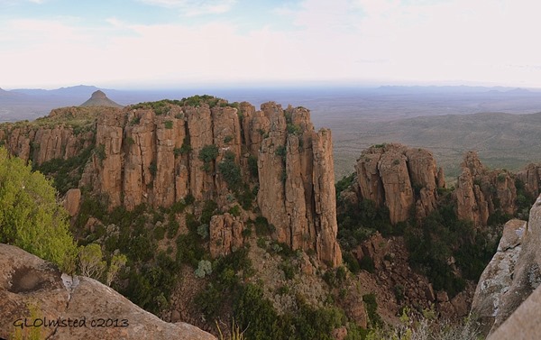
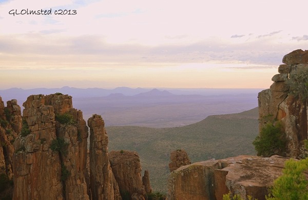
A short trail took us to a vast view of the plains of the Great Karoo known as the Valley of Desolation just beyond the tall columns of eroded dolerite formed hundreds of millions of years ago by volcanism and erosion.

Sunset over Valley of Desolation Camdeboo National Par Eastern Cape Graaff-Reinet South Africa

Sunset Camdeboo National Park Eastern Cape Graaff-Reinet Sout Africa

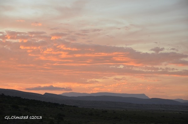
The only bummer was having to leave before the sunset showed its finest.  The gate closed at 7:30 pm in February so we had to rush back down the road and get back to camp before that gate closed at 8:00.

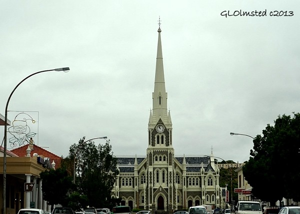
Dutch Reform Church Graaff-Reinet South Africa

Dutch Reform Church Graff-Reinet

This took us through Graff-Reinet, which the almost 48,000 acre (19,405 hectare) park surrounds.

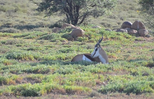
Springbok Camdeboo National Park Eastern Cape Graaff-Reinet South Africa

Springbok

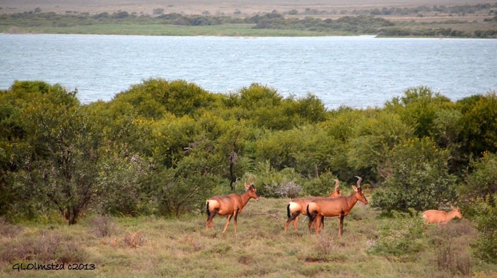
Even though it was overcast the next morning we went out looking for wildlife and were not disappointed.  12 miles (20 km) of gravel roads offered ample opportunities for a regular passenger vehicle and more if we’d been driving a 4×4.

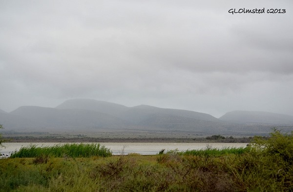
Nqweba Dam Camdeboo National Park Eastern Cape Graaff-Reinet South Africa

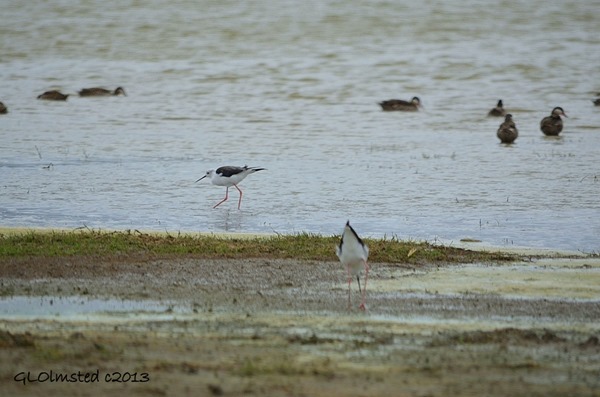
Red-billed Teals & Blacksmith Plovers on Nqweba Dam Camdeboo National Park Eastern Cape Graaff-Reinet South Africa

Red-billed Teals and Blacksmith Plovers

Several short side roads end at the Nqweba Dam where we saw numerous shore birds.

Camdeboo-National-Park-Map

Park history

The Karoo Nature reserve was established in 1979 when the International Union for the Conservation of Nature and the World Wildlife Fund recognized the urgency for conservation measures in the Karoo biome and listed this action as a world conservation priority.  Then in 2005 Camdeboo National Park was proclaimed as South Africa’s 22nd National Park under the management of South African National Parks.
However before this status the area was used by early, middle and later stone age people.  Khoisan hunters and herders left evidence of their occupation in the form of rock paintings in the eastern section of the park.  The Inqua tribe occupied the area during the mid 1600s grazing their vast herds of cattle and fat-tailed sheep.

White farmers settled the Camdeboo Plains in 1770 introducing merino sheep and angora goats, as well as exotic plants. Over the years overgrazing and the effects of introduced exotic plants have resulted in soil erosion replacing much of the natural grasses and brush.
The vision for the future is ultimately to link the Camdeboo National Park with the Mountain Zebra National Park to protect a huge diversity of plant and animal species including the endangered Cape Mountain Zebra.

Black Wildebeest Camdeboo National Park Eastern Cape Graaff-Reinet South Africa

Black Wildebeest

Flora & Fauna

The Karoo is an arid, semi-desert landscape.  The plant composition is unstable and influenced by the variation in rainfall however is also highly resilient and able to recover rapidly after droughts, insect outbreaks and overgrazing.  336 plant species have been discovered to date.

Because of the variation in elevation three distinct life zones exist.   Shrubland is located on sandstone dominated uplands above 4265 feet (1300 m).  Lower down is dominated by succulent thickets and dwarf shrubland is restricted to the bottomlands.

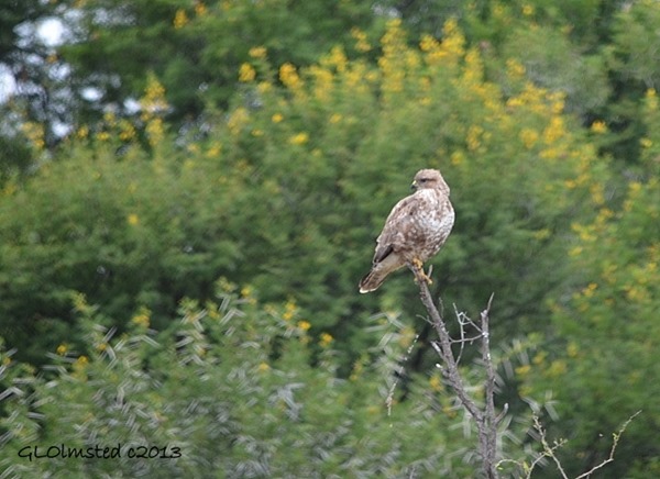
Gabar Goshawk Camdeboo National Park Eastern Cape Graaff-Reinet South Africa

Gabar Goshawk

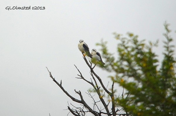
Pale Chanting Goshawk Camdeboo National Park Eastern Cape Graaff-Reinet South Africa

Pale Chanting Goshawks

At least 225 bird species have been recorded in the park along with 43 mammal species.

Dolerite cliffs above Valley of Desolation Camdeboo National Park Eastern Cape Graaff-Reinet South Africa

Geology

Beginning at least 500 million years ago mountain building and subsequent rivers deposited sediments followed by faulting and erosion that revealed the dolerite columns.

Trail Camdeboo National Park Eastern Cape Graaff-Reinet South Africa

Activities & Services

Trails & Walks

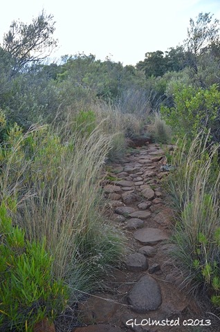
The Crag Lizard Trail (45 minutes) starts at the Valley parking area and extends for about 1 mile (1.5 km) via the Valley viewpoints. It is marked with the Crag Lizard logo.

The Eerstefontein Day Walk starts and ends at the Spandaukop gate. There are three route options of 3 miles (5km), 6.8 miles 11km, and 8.7 miles (14km) with rest spots at Eerstefontein and Agtersfontein.

The Gideon Scheepers Trail is an hour long walk, starting at the Gideon Scheepers Monument, which commemorates a historic figure, and ending at Barbergat on the R63 to Murraysburg.

Blissbok at Sunset Camdeboo National Park Eastern Cape Graaff-Reinet South Africa

Blissbok

Camdeboo National Park’s accommodation is situated on the floodplains of the Nqweba Dam and accessed via the Lakeview Gate on the N9 towards Middleburg.

Lakeview Tented Camp
Four rustic furnished tents provide a relaxed nature experience. Each tent sleeps two people and has a braai unit, fridge, table and 2 chairs. Bedding and towels are provided. There is a communal kitchen equipped with stove plates, cooking & eating utensils and microwave. Tents are booked as individual units but there is also a communal braai area for group use. Communal showers and toilets are provided.

Nqweba Campsite
Fifteen caravan or tent sites are situated beneath thorn trees on a gravel substrate. Each site has a braai unit and powerpoint. A communal kitchen provides deep freeze, stove top and microwave facilities while the communal ablutions have showers, toilets and a universally accessible unit.

Camdeboo National Park also encircles the town of Graaff-Reinet, which has a variety of accommodation options including hotels, guest houses and a caravan park.

Vervet Monkey Camdeboo National Park Eastern Cape Graaff-Reinet South Africa

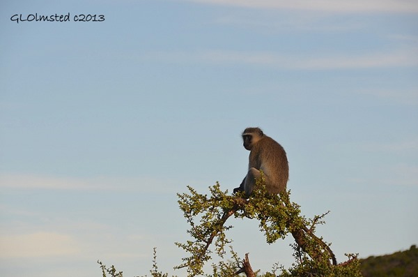
Although the park is very close to Graff-Reinet it feels like the middle of nowhere.  We had the campground almost to ourselves.  Well, except for this Vervet monkey who was keeping watch over the place.

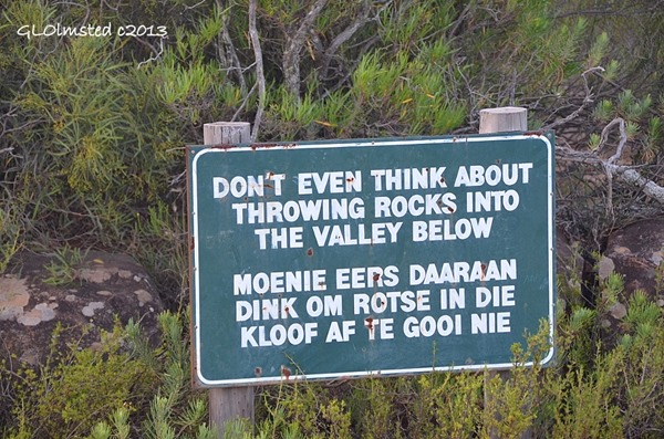
Don't throw rocks sign Camdeboo National Park Eastern Cape Graaff-Reinet South Africa

Push my buttons!

  • Click to share on Facebook (Opens in new window) Facebook
  • Click to share on X (Opens in new window) X
  • Click to share on LinkedIn (Opens in new window) LinkedIn

Like this:

Like Loading...
National Parks, South Africa Camdeboo National Park, geology, safari, sunset, wildlife 18 Comments
10 June 2013

Colorful cliffs at Golden Gate Highlands National Park South Africa

After a week at Kruger National Park I wanted to visit Golden Gate Highlands National Park next. Joan asked, “Are there animals?” “I suppose, but it’s a geology park.”  Then I watched her eyes roll.

Golden Gate Highlands National Park South Africa

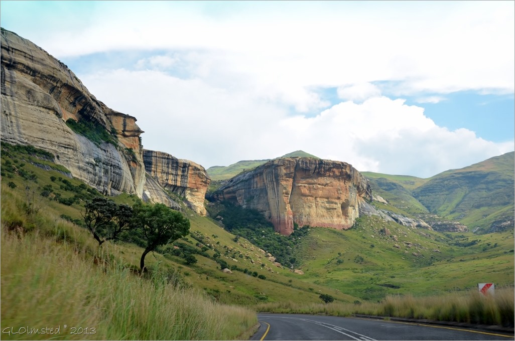
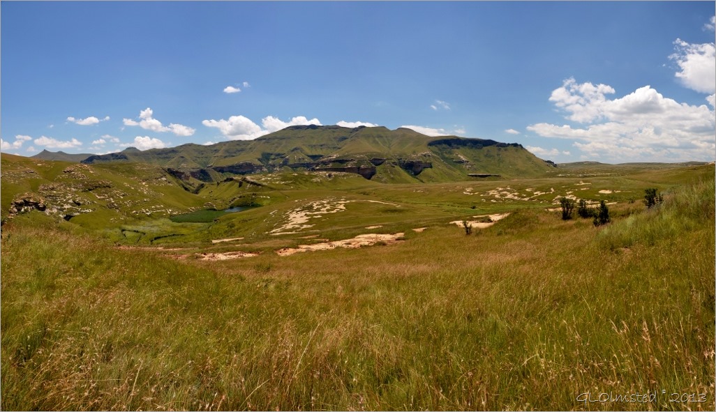
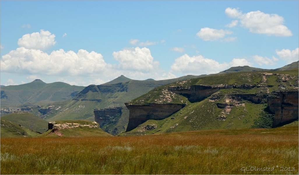
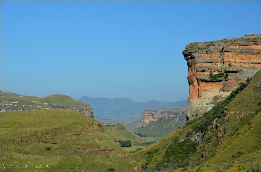
Yet after crossing the flatlands of the agricultural Free State we were both excited to see the giant cliffs of red and gold surrounded by the rolling green foothills of the Maluti Mountains.

Mushroom Rock Golden Gate Highlands National Park South Africa

I’d researched Golden Gate Highlands a little and put it on the must see list. Sure glad we made it.

Golden Gate Highlands Naional Park South Africa

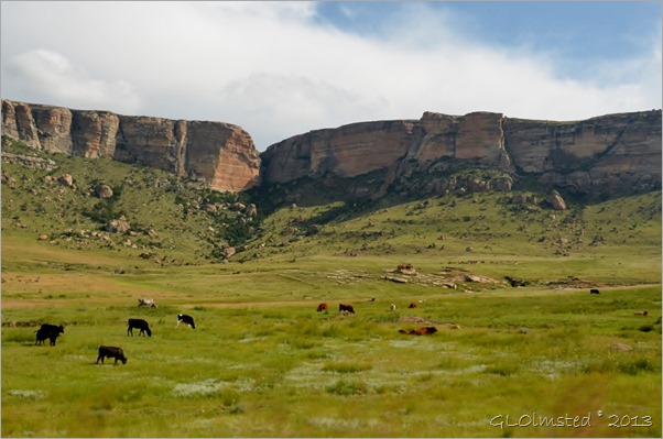
The park is known for black wildebeest, eland, blesbok, oribi, springbok and Burchell’s zebra, plus many birds including the rare bearded vulture and the equally rare bald ibis, which breed on the ledges in the sandstone cliffs. But except for a few unidentifiable birds we only saw cows.

View from Blesbok Loop drive Golden Gate Highlands National Park South Africa

Not the biggest of South African National Parks at a little over 28,000 acres yet Golden Gate is currently the only proclaimed National Park that protects the grassland biome which is the most neglected biome from the point of view of conservation.

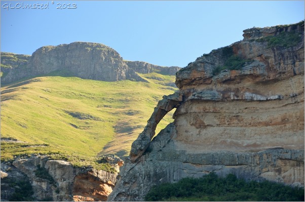
View with arch from Echo Ravine trail Golden Gate Highlands National Park South Africa

There are several trails that bring you right up to the rock and we hiked part of the Echo Ravine trail.

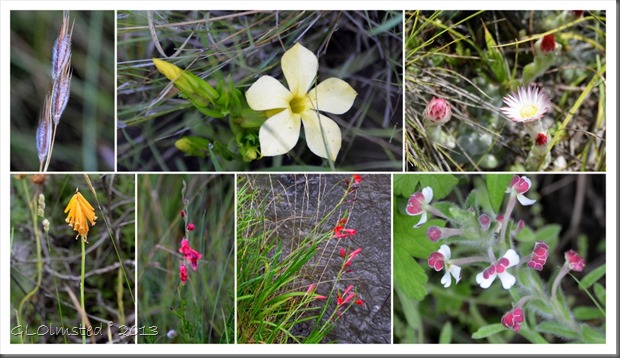
Wildflowers at Golden Gate Highlands National Park South Africa

Of course it took quite a while because we both stopped to take numerous photos, of the big and small.

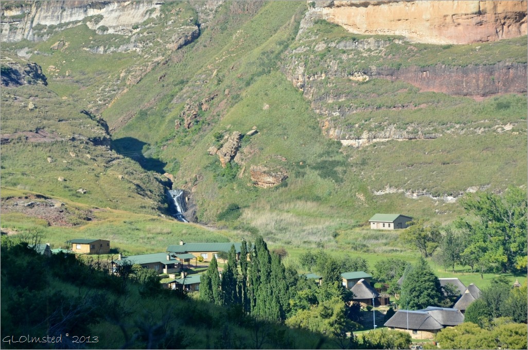
View of waterfall behind Reception from Echo Ravine trail Golden Gate Highlands National Park South Africa

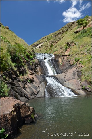
Seeing a waterfall from our view on the trail we next walked the short trail behind Reception to check it out.

Waterfall Golden Gate Highlands National Park South Africa

The pool below the waterfall provides a natural swimming pool but it wasn’t quite warm enough for a swim that day.

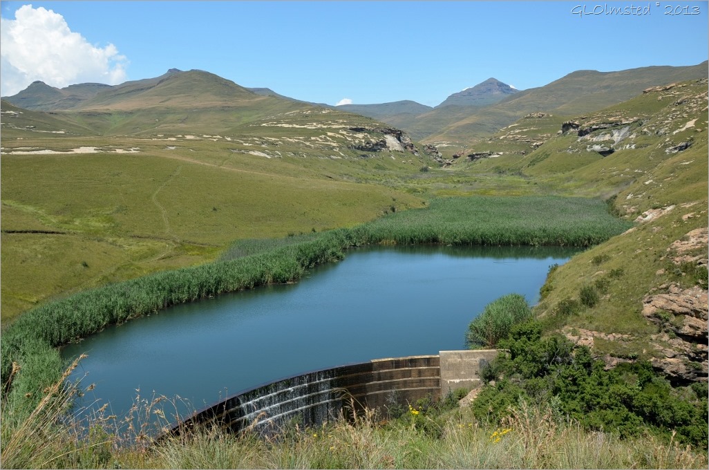
Langtoon Dam above waterfall from loop drive Golden Gate Highlands National Park South Africa

The Oribi and Blesbok loop drives offer spectacular views across the grasslands and a look at the dam above the waterfall.

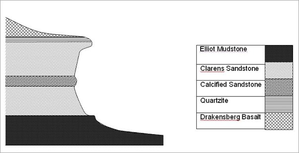
Geology of Golden Gate Highlands National Park South Africa

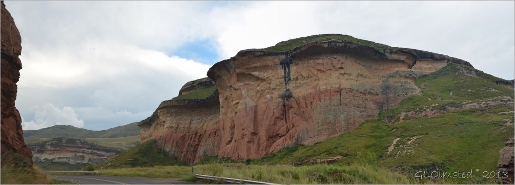
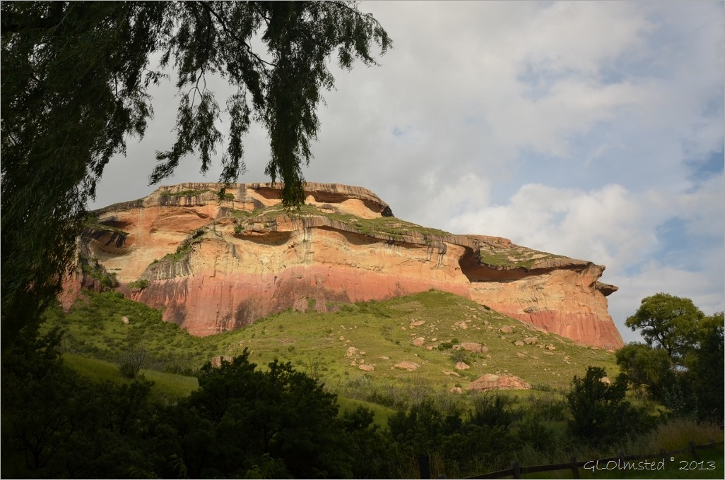
There are 3 main layers of rock eroded over time by rivers and streams. The bottom layer is made up of red mud-like sediment deposited by swampy rivers 200 million years ago. On top of that is yellow sandstone from a 196 million year old desert. This topped off by a basalt layer from volcanic activity from 160-190 million years ago.  The black stripes show were water carrying manganese from the basalt seeps out staining the rocks below.

Mushroom Rock Golden Gate Highlands National Park South Africa

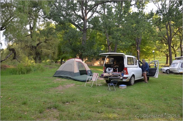
The view from our camp below the towering cliffs showed off the brilliant shades of gold cast by the setting sun which gave Golden Gate Highlands its name. And even though it was summer the night temperatures dropped enough I wished for hat and gloves camping at 7200 feet (2200 m).

Joan in camp Golden Gate Highlands National Park South Africa

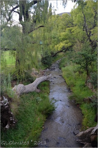
Little Caledon River behind camp Golden Gate Highlands National Park South Africa

Little Caledon River behind camp

We only spent two partial days and although we didn’t really see wildlife I’d like to return and spend more time on the trails.

View from loop drive Golden Gate Highlands National Park South Africa

Activities

· Hiking short nature trails 1-5 hours and a by-reservation 2 day/1 night

· Self-drive game viewing

· Environmental education courses

· Horse riding by reservation

· Guided Basotho Cultural Village experience

Services

· Pub at hotel

· Day use picnic site with ablution and barbeque

· Fuel Station

· Curio Shop

· Restaurant and Coffee Shop

· Conference facilities

Accommodations

· Glen Reenen Rest Camp

Caravan and camping sites in beautiful shaded grounds

Ablution (bathroom with showers), barbecue facilities and scullery (kitchen)

Power points in ablution block and some camp sites

A maximum of 6 persons, one caravan/tent and one vehicle per site

· Rondavels, Longdavels and Guest Cottages with either one double and two single beds or two single and one stack bed, bathroom (shower) and kitchen with basic equipment

View from Echo Ravine trail Golden Gate Highlands National Park South Africa

“The Free State landscape gladdens my heart, no matter what my mood. When I am here I feel that nothing can shut me in, that my thoughts can roam as far as the horizons.”

– Former State President Nelson Mandela wrote in his autobiography Long Walk to Freedom.

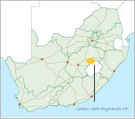
South Africa map where is Golden Gate Highlands National Park

Save

Push my buttons!

  • Click to share on Facebook (Opens in new window) Facebook
  • Click to share on X (Opens in new window) X
  • Click to share on LinkedIn (Opens in new window) LinkedIn

Like this:

Like Loading...
national parks, South Africa camping, geology, Golden Gate Highlands National Park, hiking, South Africa 20 Comments
← Older posts
Newer posts →

Hi, I’m Gaelyn, the Geogypsy

I retired after 29 summer seasons as a Park Ranger, traveling solo for 40+ years. My passions include travel, connecting to nature, photography, and sharing stories.

I started exploring US National Parks in 1977 and 20 years later became a seasonal Park Ranger.  I’ve lived full-time in a RV for 30 years working summers and playing winters.  I’m still trying to figure out what I want to be when I grow old, other than grow up.

Let’s share our stories.  Here’s more of mine…

My wheeleastate

I am currently…

…boondocking somewhere in southern Arizona.  In the area, give a shout.

Geogypsytraveler on YouTube

Follow my journey on YouTube. Just click the pic. Hope you’ll like, share, and subscribe.

Click image for 7 minute documentary (Password “geogypsy” lowercase)

Making the Gypsy documentary is a story of its own.  Click below for the rest of the story.

Living nomadically & connecting to nature documentary

Subscribe to Blog via Email

Enter your email address to subscribe to this blog and receive notifications of new posts by email.

Photos available for sale include prints, greeting cards, coffee mugs, tote bags, phone cases and more

Reflected Wave 24X16 metal print under $100

Custom Coffee Mugs

Many items to choose from including prints

The Last Blast 24 x 16″ metal print under $100

Need a signal boost? When I boondock on public lands sometimes signal is weak or intermittent and a booster helps. Click the pic to visit WeBoost.

Connecting to nature and the rest of the world too.

Please contact me for photo purchases not seen at GLOlmsted Photography

Order fulfillment is by Fine Art America. If you’re not happy with your purchase, for any reason, simply return it within 30 days, and you’ll receive a full refund of the purchase price.

Why read Geogypsy?

The gypsy life spring-summer 1998 - "You were a real pioneer. RV'ing before it was cool." ...Yogi

How do you process photos? - “Your photographs create an Emotional feeling in the viewer...that they become One with You.” …Cindy

Life’s transitions between travel and work play - "I know you love your job as much as you love travel -- it shines through all your posts." ...Sallie

Lions at Kruger National Park - “Wonderful post, thank you. I was hooked start to finish!” … Peter B

11 lessons looking back 2013 - “A great post -- made me think, made me smile, made me want to cry." ...Sallie

Wildlife video Kruger National Park - “Gorgeous, this makes me want to go straight to South Africa now.” … Ayngelina

Living nomadically & connecting to nature documentary - “What an experience you had and gave to the "crew." Sometimes I think you don't realize how unique and inspiring you are.” …Alan

Search

Popular Posts

1. Prioritize the well-being of nature over photography. 2. Educate yourself about the places you photograph. 3. Reflect on the possible impact of your actions. 4. Use discretion if sharing locations. 5. Know and follow rules and regulations. 6. Always follow Leave No Trace principles and strive to leave places better than you found them. 7. Actively promote and educate others about these principles

Categories

Archives

Sites I follow, read & recommend

  • A Full-time Life
  • A Yankee in Belgrade
  • Bob's Eyes
  • Box Canyon Blog
  • Camels and Chocolate
  • Dawns bloggy blog
  • In the Direction of Our Dreams
  • Jane in her infinite wisdom
  • Janie and Steve, Utah Trails
  • Kathie's Birds
  • Las Adventuras
  • Memorable Meanders
  • Oh, The Places They Go
  • On the Road Abode
  • Port Elizabeth Daily Photo
  • Stillhowlyntravels
  • Take to the Highway
  • Technomadia
  • the good luck Duck
  • Travel with the Bayfield Bunch
  • Wandering Earl
  • Wheeling It
  • Yogi's Den

Caught in a Slot 9×12 canvas print under $50

If you don’t like what’s going on in your government, contact your Congress

Directory of Senators

Directory of Representatives

Lijit

© Copyright 2008-2024. Geogypsytraveler.com
%d