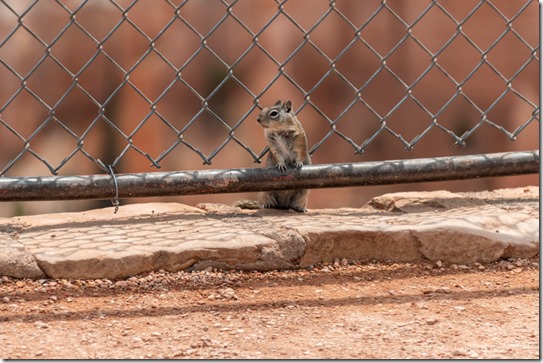
 OK, enough rain already! In the last two weeks during monstrous monsoon rains Bryce Canyon received 3 inches. And Cedar City got two inches in an hour while I shopped there last week. I love the rain—a special gift in an arid place—and embrace monsoon, but this is ridiculous. The hard ground—compare to a dried out sponge—takes a while to soak and soften which can cause flash flooding. But then once saturated can soak no more and causes more flash flooding.
Last week I was praising the healing rain and now I pray for just a little less intensity. Not like I worry about melting, I have the right gear, but I don’t want to be along the rim when lightning roars. After Saturday’s 11am Hoodoo geology talk I was eating lunch in my truckcamper with another monstrous monsoon storm brewing and wondering about roving along the rim when a radio call from my boss said lightning was nearby and I was called back to the building. I get bored real quick in the office, so after cleaning up in the library—my collateral duty as librarian—I went into the visitor center and stood by the topo map answering questions for four hours.
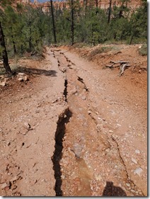
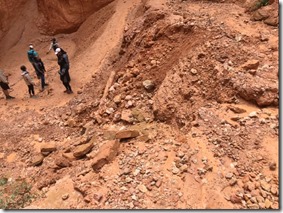
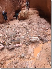
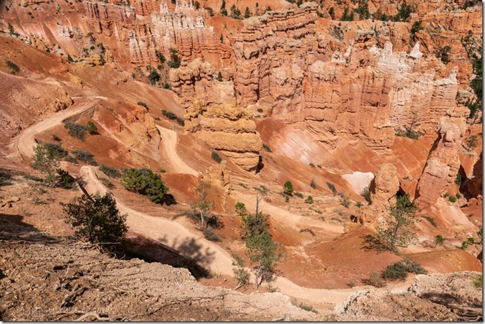
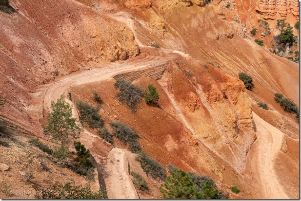
National Park Service photos of trail damage Queen’s Garden and Navajo Loop trails
Also heard some stories from visitors hiking in the hoodoos when flash flooding occurred during the monstrous monsoon rains. Rangers went out to assist people off the trails. Everyone was fine, though wet and muddy. Then all trails below the rim were closed. This kind of flooding is a rather unusual occurrence at Bryce. My first experience seeing water flow in any dry wash. But these rains have come hard and fierce.
Late start on Sunday and still struggling to get online after about 9/10am. Then add a Windows update that changes my settings, again. Was hoping for an update on trail closures before getting to work at noon. Instead I find out after a couple hours at the information desk I’ll be roving at the Navajo Loop trailhead to keep people off the closed trail and answer questions. “When will it open?” “Don’t know yet, still being assessed for damage and safety.”
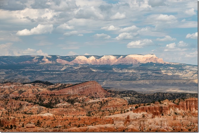 I found it eerily quiet and was thinking the rim trails and Rainbow Point must be packed. Left for dinner at 4:30 then back to the desk from 6-8pm and when I returned the Navajo Loop trail had reopened under incomplete repairs. That didn’t make sense. With the possibility of more rain, and lightning, I had to make the call by 8:30pm for my 9pm outdoor evening program. The show went on with a small group including my supervisor for observation because of mid-season evaluation. No big deal. And no rain.
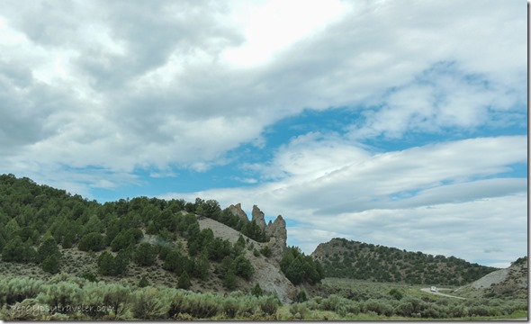
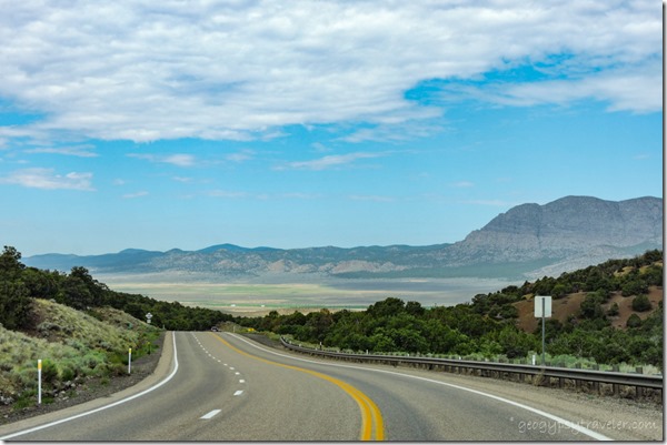
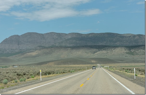
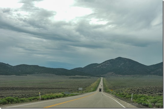
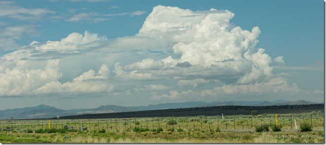 I traded another Ranger my Wednesday project day for Monday and then took that day off. Sweet, another nine hours of sick leave used up and only two more work days to the week. Nice drive on SR20 west under partly cloudy sky up onto a plateau, through meadows, and back down into the valley onto I15 south to Cedar City.
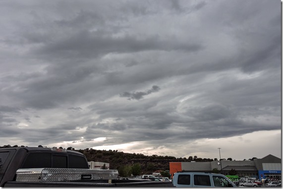 My plan was park in the outer edges of WalMart for a short walk to lunch at the Asian Bistro, followed by some shopping, and another walk next door to the Dessert Industries Thrift Store. Then possibly a couple other store stops.
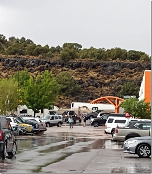
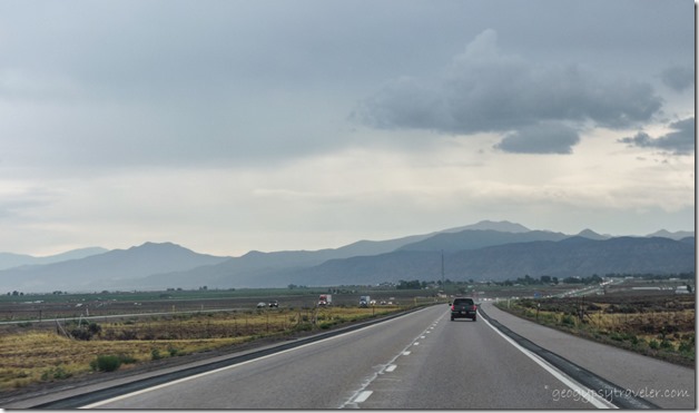
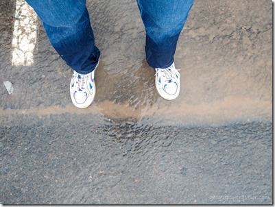 I could hear the rain so hard on the Wally’s roof I thought it might cave in. There were wet places on the floor and people seemed to be moving slower than usual to put off going outside in the monstrous monsoon downpour, myself included. Once it stopped raining I checked out and worked through the crowd by the door to get outside. OMG! A dip in the drive near the store resembled a ruddy raging river. The only way to get to my rig was through, so I pushed the cart through almost knee-deep chilly water. Thank goodness for dry pants and shoes onboard. After loading groceries, I stayed put in the camper about 1 1/2 hours to wait for the water to subside. It had pretty much quit raining. Glad I waited as the debris along the edge of the interstate indicated a lot of water had sheeted across.
Only sprinkled on the way to Panguitch where I stopped for dinner at the Big Fish. Then barely a sprinkle once home to unpack. And realize I’d left my credit card at the restaurant. I have never done that before.
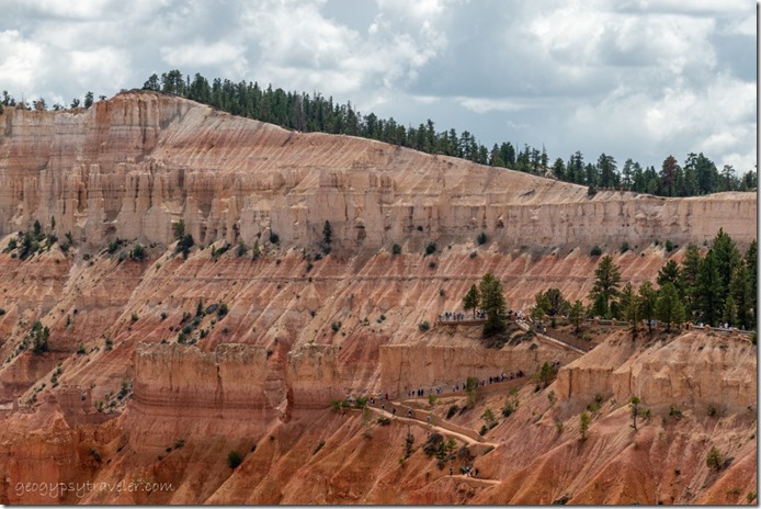 Hikers on Two-Bridges side of Navajo Loop Trail
Tuesday morning I returned to work with the first hour at the information desk and discovered the Queen’s Garden trail with loop into Navajo trail was opened after repairs. Work was still being done on the Peek-a-boo trail. I figured the trails were either a little muddy if wet or lumpy if dry. Hiking boots might start as size sevens and return size tens.
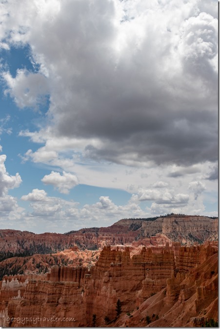 I presented the 11am Hoodoo geology talk, hid in my camper for lunch, and returned to rove several hours near Sunrise Point. While finishing the day at the information desk I’m told about the updated CDC advisory for mandatory mask wearing in federal buildings beginning the next day that includes all employees and visitors.
So that day, Wednesday on my Friday, starts with opening the visitor center and staffing two hours outside the door to limit entry to 80 visitors and provide masks as needed. Back to this again. Garfield county, Utah is seeing increases in COVID with the new Delta strain.
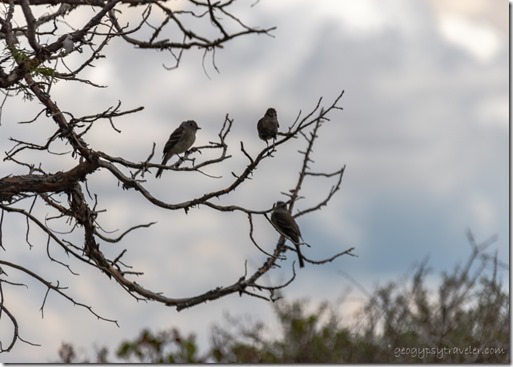 I am more than happy to drive the 18 miles to the end of the scenic road and spend the afternoon outside at Yovimpa Point. It was my short day, eight hours instead of nine, made a little shorter by a storm rolling in around 3pm with only sprinkles and no monstrous monsoon rain.
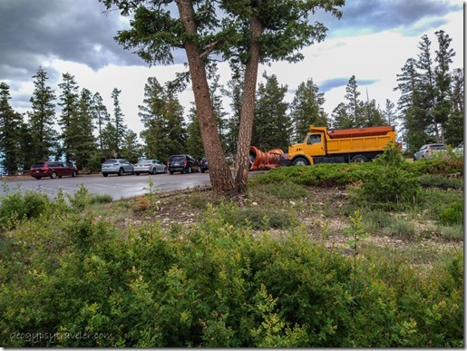 What I didn’t expect to see in the parking lot was the snowplow. It was actually clearing small debris off the side of the road.
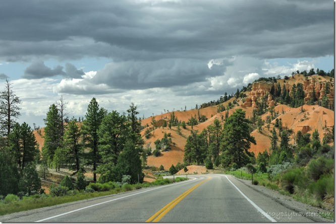 Red Canyon SR12 W Dixie National Forest
Once home, made a quick clothes change and headed to Panguitch to meet work friends for dinner at the Big Fish and retrieve my credit card.
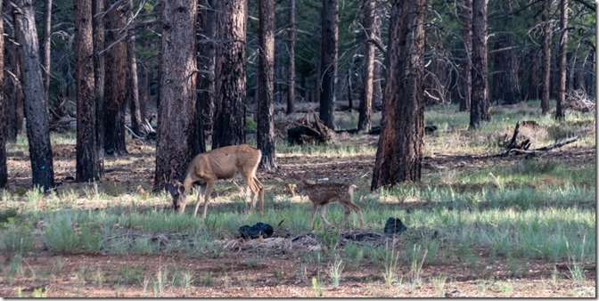 Except for chores, I looked forward to three lazy days off work with intermittent rain and wildlife entertainment. I return to work the first of August to who knows what for sure. Prediction for more showers and thunderstorms in the afternoon so might see more monstrous monsoon rains.
_______________________________________________________________________
BTW, if you have a RV you want to sell, now is the time. Seriously, used RVs are frequently listing for more than you might have paid. My 25 year-old truckcamper is valued at $2000 more than I paid for it seven years ago. Mine isn’t for sale. Don’t expect this to last. Many of the hordes of new RVers may soon discover it’s not for them. Just sayin’.

