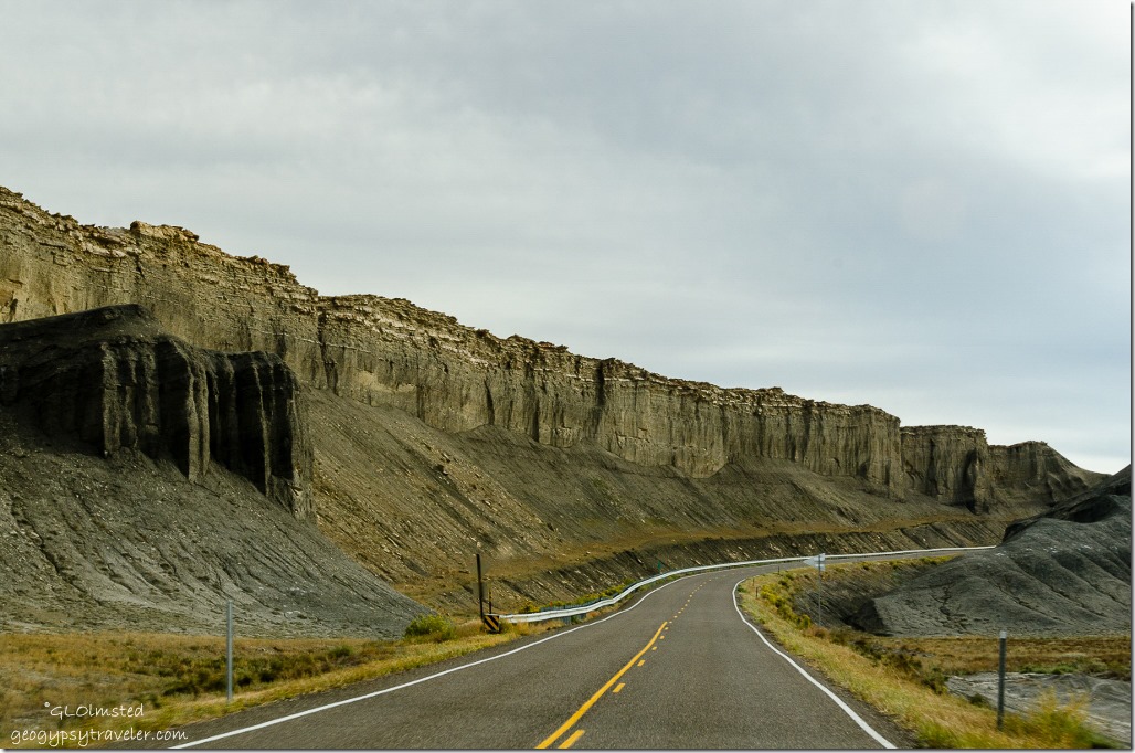
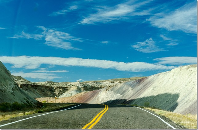
We followed part of the Capitol Reef Country Scenic Byway, also called Utah State Route 24, along the Freemont River upstream through 28 miles of spectacular scenery west from Hanksville to Capitol Reef National Park.
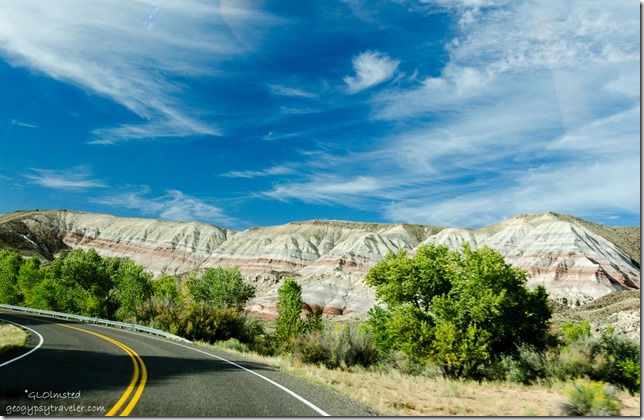
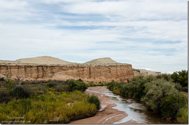 Freemont River & maybe North Pinto Hills
The 95 mile Fremont River flows from the Johnson Valley Reservoir in Fish Lake National Forest, southeast through Capitol Reef to the Muddy Creek near Hanksville where the two rivers combine to form the Dirty Devil River, a tributary of the Colorado River.
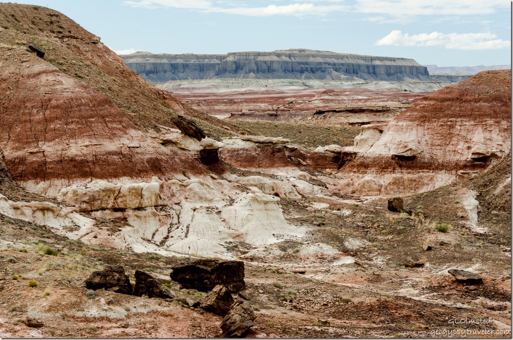 Maybe Skyline Rim beyond the Red planet’s terrain
Yet not far from the flowing waters lies the barren land of the Upper Blue Hills. In fact I just found out that the Mars Society Desert Research Station where spacesuits and equipment are tested is located east of Hanksville because of its resemblance to the surface of Mars. Now, two months after this journey, I’ve probably mislabeled some of the photos but the colorful names on the map seem to fit. When will I learn to take notes when I travel.
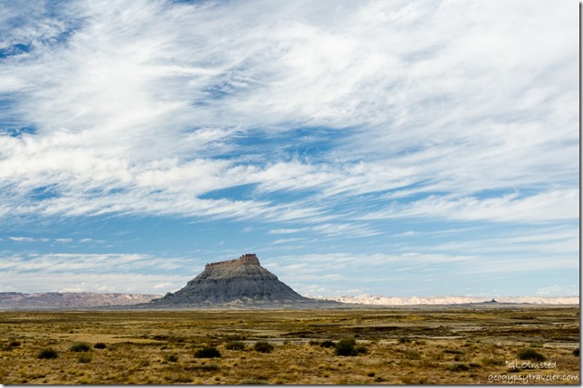
The Factory Bench Road beckoned for exploration across mud flats bearing sparse grass and occasional bushes. Presumably at least 10 miles of unpaved road eventually leading to Goblin Valley is suitable for any vehicle when conditions are dry. Yet we had no time and only stopped briefly to look longingly at the prominent orange-brown sandstone of Factory Butte.
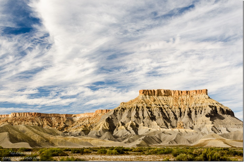
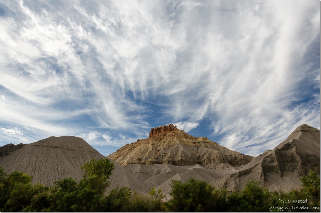
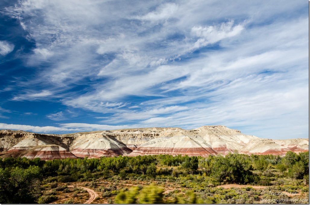
Mudhill bandlands composed of bentonite rich clay, mud and volcanic ash turned to stone slowly erodes away from the bases of both of the exposed sandstone of North and South Caineville Mesas. Didn’t the clouds put on a beautiful show over the colorful formations?
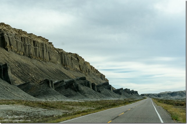
Then looming ahead as if to block the way rose the Caineville Reef, an extension of the San Rafael Reef to the north and merging with Capitol Reef’s Waterpocket Fold to the south. Although there were shallow seas in this region around 200 million years ago these “reefs” are actually uplifts caused by forces of geologic compression during the Laramide Orogeny about 60 million years ago. In many cases, settlers and pioneers named them “reefs” defined as a barrier.
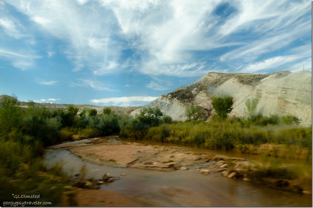 Freemont River through dirty side window on the fly
Crossed the Freemont River and paralleled Caineville Reef southward.
Then the road jogged west past the Red Desert, North Blue Flats and all too soon we entered Capitol Reef National Park. Took a little over an hour from Hanksville with a couple of photo stops along the way. Could take much longer by exploring those side roads. A good excuse to return.
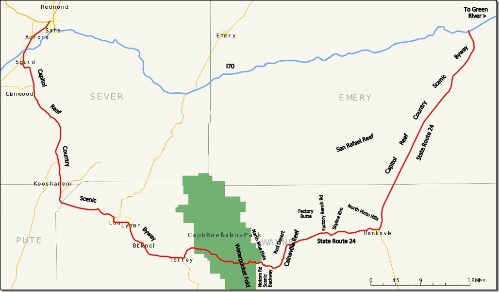 More nearby scenic drives to explore
The 160 mile (260 km) Capitol Reef Country Scenic Byway runs east and west between US50 near Salina and I70 near Green River between the Fishlake and Dixie National Forests then through Capitol Reef National Park and along the eastern side of the San Rafael Reef passing Goblin Valley State Park. On the east side of Capitol Reef National Park the Notom Road Scenic Backway runs south from SR24 along the base of the Waterpocket Fold and junctions with the Burr Trail Road to Bullfrog Bay, Marina and Visitor Center on the shores of Lake Powell.

