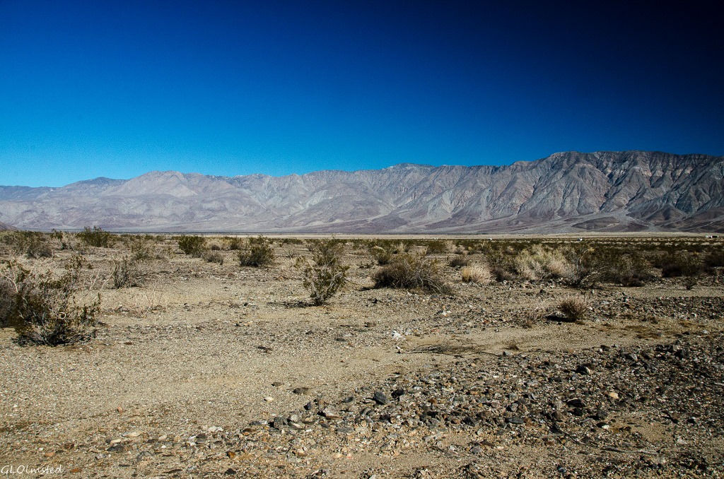
 Although I did get out for a ‘first day hike’ it wasn’t very far or to any destination, just an hour long loop walk from camp. On the 3rd I took a longer walk leaving at 10:30 am while sunny but still crisp wearing a warm hat and plenty of layers. Got water, snacks and backup camera batteries. All set.
I walk across the desert puzzling over the Anza-Borrego geology headed to Clark Dry Lake and wondered how long has this lake been dry.
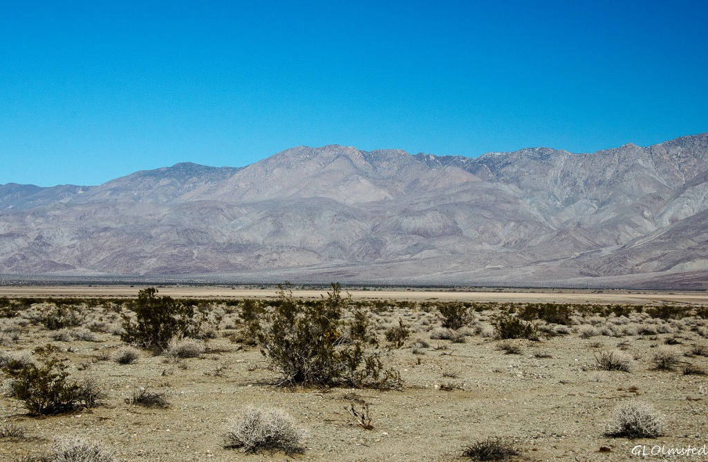 Rocks and plants
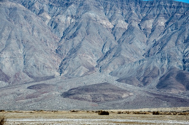 I decided to walk cross country towards the lake keeping an eye on a prominent landmark and following major washes that would flow in the right direction. So many pretty rocks that I try to keep out of my pockets. At first I am confused because the well eroded rock in the wash that came from the surrounding mountains looks granitic with lots of quartz and sparkles that might be pyrite or fools gold. What I remember about the geology from the Visitor Center is several layers of different claystones, silts, limestone and maybe sandstone. What I don’t remember is metamorphism, the change of rock by heat and pressure. After millions of years marine sediments were metamorphosed by coastal subduction followed by fault produced uplift creating the granitic mountain ranges. OK, enough geology, let’s get on with this walk.
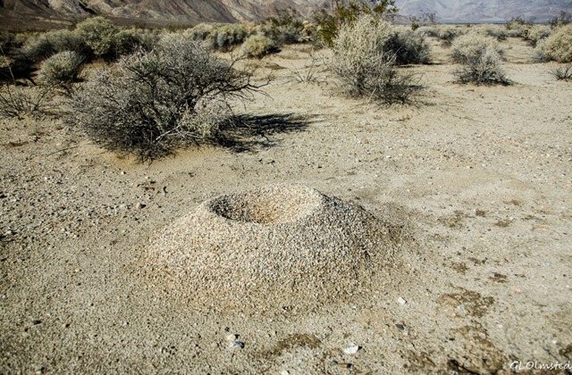 Only a few moist places remain in the dips of this otherwise dry sandy wash. How quickly the ground absorbs the rain from just four nights before. In fact the sand acts like it’s full of static electricity leaving a light sparkle on my boots. Must be easy digging for ants because their hills look like 10 inch volcanoes. I am in awe of the strength and tenacity of ants.
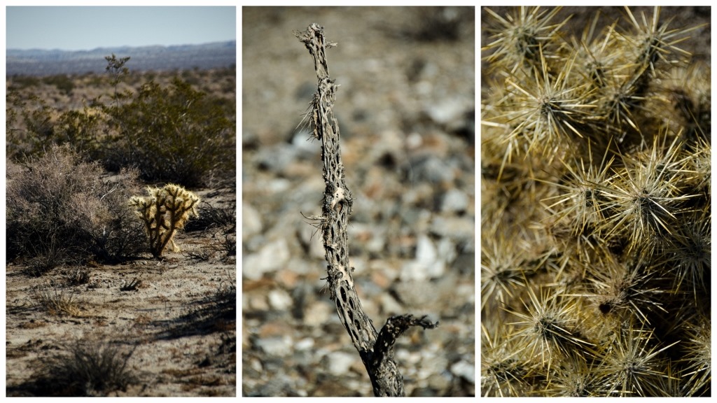 The surrounding landscape is lush with creosote bushes, the notorious chollas and an occasional ocotillo. Not much sign of wildlife although I startled a jackrabbit and saw tracks that could be dog or coyote. Tried unsuccessfully to figure out the one elusive bird with roller coaster flight that disappears too quickly for me to photograph. Most startling to see a dragon fly on a creosote bush.
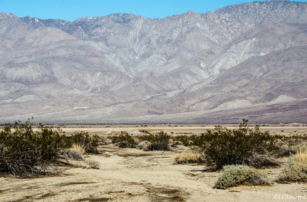 The Lake – Bombs and fairies
 The landmark I walked toward appears to be one of the abandoned landing strips that create a cross on the dry lake bed. This area was used as a bombing range during World War II. Although the sign says no motorized vehicles I followed a recent track on ground still a little soft. Pilots were warned not to land here after rain.
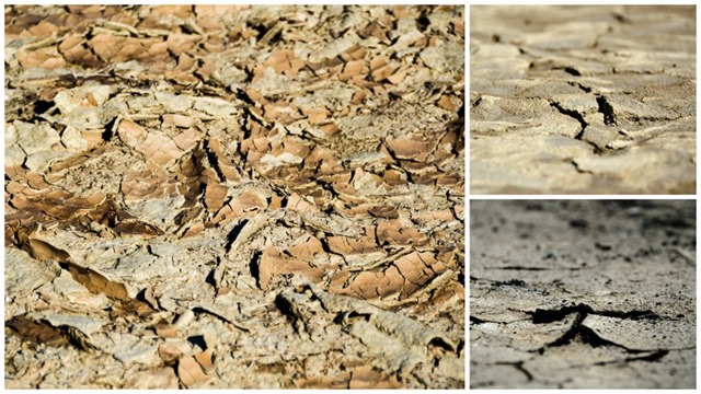 Dry and lake don’t seem to go together in a sentence. But about 1 million years ago mammoths, camels, squirrels and coyotes frequented this lake shore. Now the lake is seasonal and actually full of life when it rains with fairy shrimp who appear after a dormancy of 10 years or more. We didn’t get enough rain for that to happen and instead the dry lake bed resembles a jigsaw puzzle in 3-D.
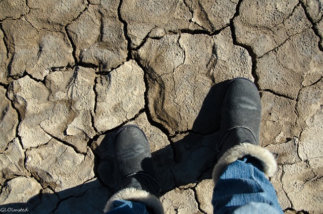 Pieces that don’t quite fit
 A loud sound of pounding on metal intruded on my totally absorbed quiet desert walk to the lake. Shapes and colors caught my eye that look like two semi-structures made of mostly natural materials plus a frame covered with camo-netting, an orange car and blue truck that I guess was being pounded on. Remote settlers or squatters? I kept my distance.
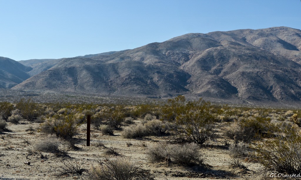 An occasional rusty can mostly riddled with bullet holes. On the whole, very little litter. It seems the people visiting here know how to show respect for the land. There are many 4×4 roads too narrow and sandy for my rig that allow jeeps, ORVs and dirt bikes but are not recommended after heavy rain.
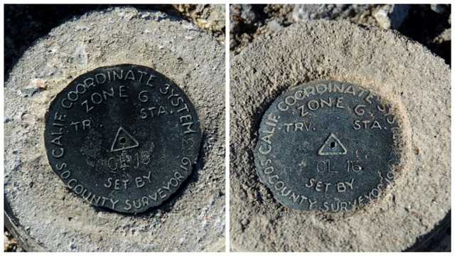 I accidentally discovered two Benchmarks that I was curious about so I went to Google. There is actually a hobby, known as “benchmarking hunting” complete with a website to look up and report Benchmarks. I went there and didn’t find CL 15 or CL 16, but I have no GPS to give coordinates. I am not a geocacher but have always been intrigued by benchmarks, which I seem to actually just kind of trip over. In fact according to the National Geodetic Survey (NGS) we all probably walk right past several of them a day. Benchmarks, or survey markers, are placed to establish the angles and distances between various points and were used for map-making.
Putting the puzzle together
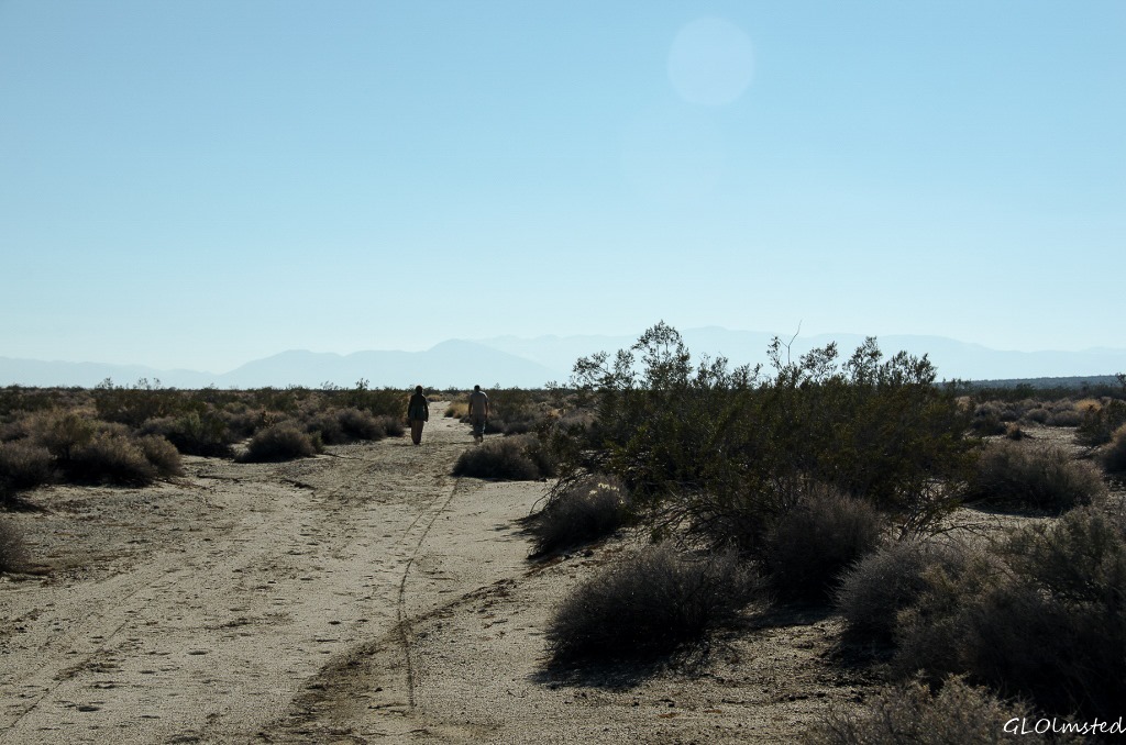 Not quite 1.5 hours to the lake and the same back. Maybe 2+ easy miles each way. I sat on the runway about 30 minutes absorbing the sound of silence. Two other people arrived, stayed briefly and quickly passed me along the track back towards camp under a warm sun that allowed me to happily remove two layers.
 There’s still more to explore in Anza-Borrego Desert, the largest state park in California. The name comes from 18th-century Spanish explorer Juan Bautista de Anza and borrego, the Spanish word for bighorn sheep. How I’d love to see them somewhere across this vast Sonoran Desert landscape which also protects the state’s only and endangered native California Fan Palm. In addition, the park contains 7 million years of rich fossil records. And although I tend to walk alone, the Anza-Borrego Natural History Association offers many guided hikes and lectures plus manages sales at the State Park Store in Borrego Springs and in the park’s visitor center.
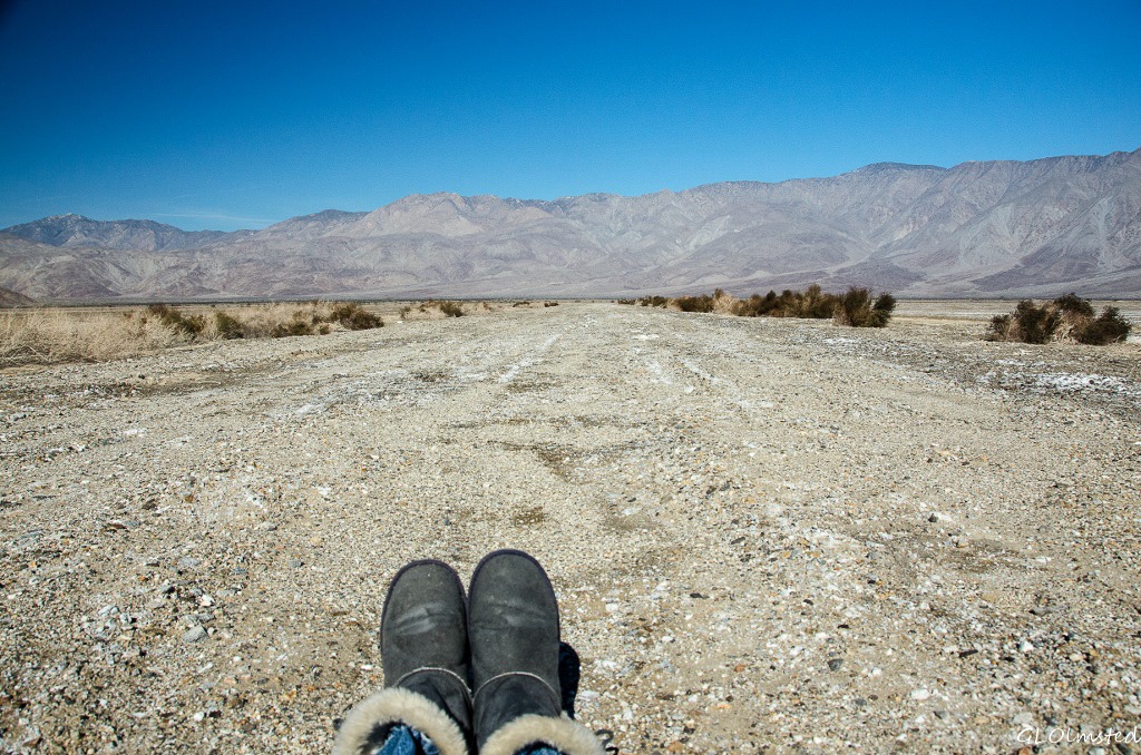 Must be time to get off my butt and go discover more of the park.
