• Home
  • About Geogypsy
    • Herstory
    • Parks where I’ve worked
  • Places I’ve been
    • United States
      • Arizona
        • Antelope Slot Canyon
        • Casa Grande Ruins National Monument
        • Colossal Cave Mountain Park
        • Flagstaff
        • Glen Canyon National Recreation Area
        • Grand Canyon National Park
          • Grand Canyon National Park North Rim
          • Grand Canyon National Park South Rim
          • Toroweap
        • Havasu Canyon
        • Horseshoe Bend
        • Jerome
        • Kaibab National Forest
        • Lee’s Ferry
        • Meteor Crater
        • Navajo Bridge
        • Oak Creek Canyon
        • Painted Desert
        • Pipe Springs National Monument
        • Prescott
        • Quartzsite
        • Saguaro National Park
        • Sedona
        • Sunset Crater Volcano National Monument
        • Vermilion Cliffs
        • Walnut Canyon National Monument
        • Wupatki National Monument
        • Yarnell
      • California
        • Anzaberrego
        • Bakersfield
        • Death Valley National Park
        • Joshua Tree National Park
        • Redwoods NP
        • Salton Sea
        • Yucca Valley
      • Colorado
        • Mesa Verde National Park
      • Florida
      • Illinois
        • IL River
        • Morton Arboretum
        • Starved Rock State Park
      • Michigan
      • Nevada
      • New Mexico
      • Oregon
        • Crater Lake NP
        • Mt Hood
        • Oregon Caves National Monument
      • Texas
        • Alpine Texas
        • Padre Island
        • Port Isabel
        • Rio Grande Valley
      • Utah
        • Brian’s Head
        • Bryce Canyon National Park
        • Buckskin Gulch
        • Cedar Breaks National Monument
        • Cedar City
        • Coral Pink Sand Dunes State Park
        • Dixie National Forest
        • Grand Staircase Escalante National Monument
        • Johnson Canyon
        • Kanab
    • World Travels
      • Germany
      • Mexico
      • South Africa
  • Tours
  • Photography
  • Work with Me
    • Sponsors
  • Contact
Geogypsy
Menu
  • Home
  • About Geogypsy
    • Herstory
    • Parks where I’ve worked
  • Places I’ve been
    • United States
      • Arizona
        • Antelope Slot Canyon
        • Casa Grande Ruins National Monument
        • Colossal Cave Mountain Park
        • Flagstaff
        • Glen Canyon National Recreation Area
        • Grand Canyon National Park
          • Grand Canyon National Park North Rim
          • Grand Canyon National Park South Rim
          • Toroweap
        • Havasu Canyon
        • Horseshoe Bend
        • Jerome
        • Kaibab National Forest
        • Lee’s Ferry
        • Meteor Crater
        • Navajo Bridge
        • Oak Creek Canyon
        • Painted Desert
        • Pipe Springs National Monument
        • Prescott
        • Quartzsite
        • Saguaro National Park
        • Sedona
        • Sunset Crater Volcano National Monument
        • Vermilion Cliffs
        • Walnut Canyon National Monument
        • Wupatki National Monument
        • Yarnell
      • California
        • Anzaberrego
        • Bakersfield
        • Death Valley National Park
        • Joshua Tree National Park
        • Redwoods NP
        • Salton Sea
        • Yucca Valley
      • Colorado
        • Mesa Verde National Park
      • Florida
      • Illinois
        • IL River
        • Morton Arboretum
        • Starved Rock State Park
      • Michigan
      • Nevada
      • New Mexico
      • Oregon
        • Crater Lake NP
        • Mt Hood
        • Oregon Caves National Monument
      • Texas
        • Alpine Texas
        • Padre Island
        • Port Isabel
        • Rio Grande Valley
      • Utah
        • Brian’s Head
        • Bryce Canyon National Park
        • Buckskin Gulch
        • Cedar Breaks National Monument
        • Cedar City
        • Coral Pink Sand Dunes State Park
        • Dixie National Forest
        • Grand Staircase Escalante National Monument
        • Johnson Canyon
        • Kanab
    • World Travels
      • Germany
      • Mexico
      • South Africa
  • Tours
  • Photography
  • Work with Me
    • Sponsors
  • Contact

Tag: camping

04 March 2020

New sights on the Kofa NWR and people too

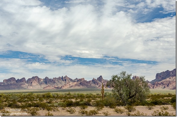
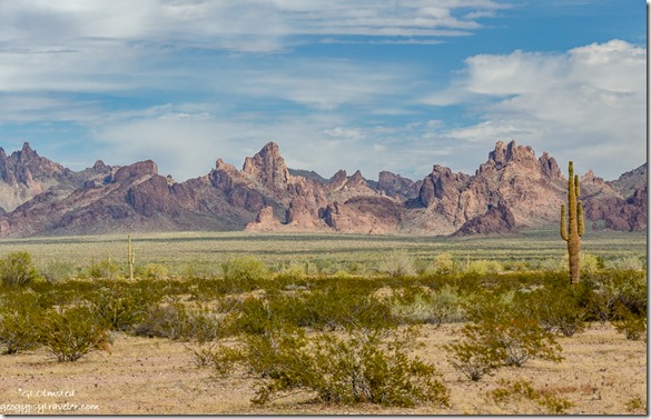
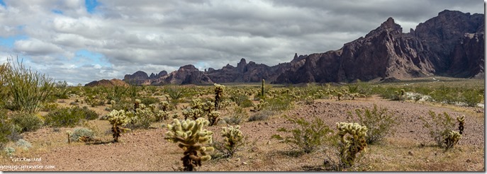
desert Kofa Mts low clouds Palm Canyon Rd Kofa National Wildlife Refuge ArizonaAfter returning to Kofa NWR (National Wildlife Refuge) from the Colorado River I just didn’t want to leave this peaceful desert, so settled in to a nice site with a marvelous view from yard or windows.  A little close to the road but firm pack rock and no washes to cross.  Enjoyed enough rain the desert and I were both smiling happy.
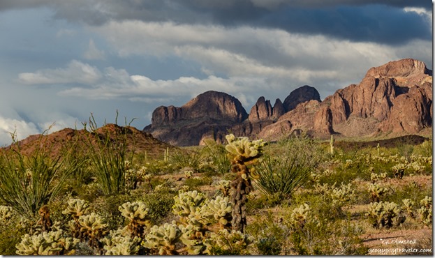
last light desert Kofa Mts clouds Palm Canyon Rd Kofa National Wildlife Refuge ArizonaI find it hard to get away from this place, I leave and return to park in a slightly different location and view.  People find me because I’m still here, or back again, which is very cool.
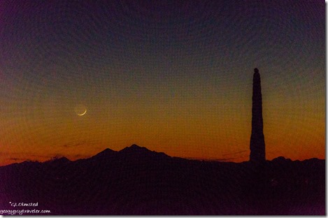
Saguaro cactus mountains crescent moon setting Palm Canyon Rd BLM Kofa National Wildlife Refuge ArizonaTurns out that a Yarnell friend was camped up a bumpy side-road further than I wanted to drive.  Good thing, as she reminded me to look at the setting crescent moon after sunset that I took a rather ‘painterly’ shot of being too lazy to get out the tripod.  We visited a few days later as she was leaving the Kofa.

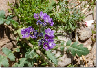
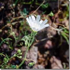
purple Phacelia flower Palm Canyon Kofa National Wildlife Refuge Arizonarain on white Chicory flower Palm Canyon Rd Kofa National Wildlife Refuge Arizona

As I wander around to explore my newest section of desert yard I saw flowers, mostly tiny and spread apart.  Not carpets of color but pops of purple Phacelia, aka scorpion weed that can cause irritation like poison ivy.  White daisy-like Chicory, and a yellow that was shaking in the wind so hard I couldn’t even take a decent picture to identify later.  They are growing from under other desert plants where moisture holds a little longer.

The strangest planes fly over the desert, at least strange to me.  Military jets whiz over fast and loud startling me every time.  I’m not fast enough to take a photo.  That became rather funny considering how low and slow a 4-prop whale-of-a-plane flew lazy circles, a couple times, over this portion of desert.  Some days I’ve seen a blimp high above the land to the south towards the Mexican border.  I was buzzed by a drone one afternoon, only heard it, didn’t see it.  Felt invasive.
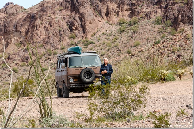
Bob van Queen Canyon Rd Kofa National Wildlife Refuge ArizonaI have exceedingly sensitive hearing and one afternoon heard a rig pull up slowly and stop along the road less than 100 feet away.  I looked out to see an old 60s Chevy van and a man walking towards me.  Turned out to be blogger Bob’s eyes.  He invited me for a ride up Kofa Queen Canyon the next afternoon.
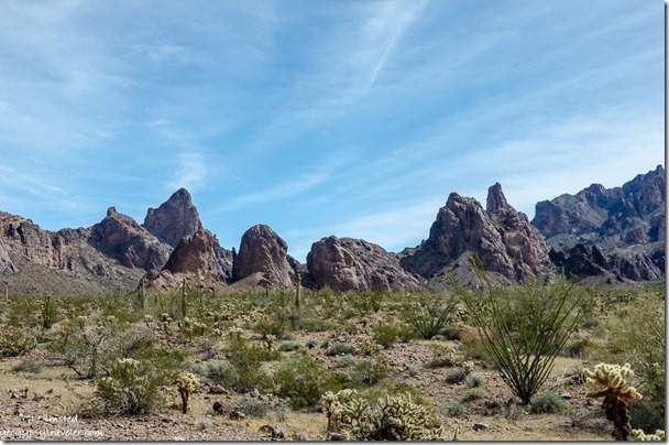
desert Kofa Mts Queen Canyon Rd Kofa National Wildlife Refuge ArizonaI think that ole 4×4 Chevy could go almost anywhere, especially with Bob behind the wheel.  Here’s his version of the day.
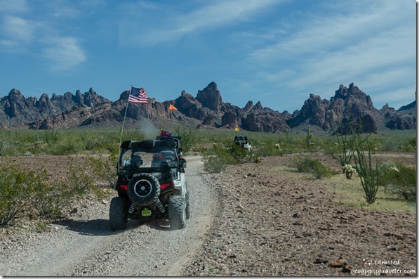
OHV Kofa Mts Queen Canyon Rd Kofa National Wildlife Refuge ArizonaAt first the road would have been doable even for my rig, slowly enough.  But then, it got seriously jeep like.  We saw more than a few OHVs, even pulled over for some.  Probably a good thing my rig can’t get into that canyon or you’d never see me again.  The vegetation gets more dense the further up we went.
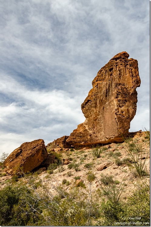
balancing rock Queen Canyon area Kofa National Wildlife Refuge ArizonaWell over 100 feet tall and could see light under the center

Then we passed all those rigs parked at Balancing Rock and continued to a side canyon, that after some serious looking at Google Maps I believe was Ten Ewe Canyon.
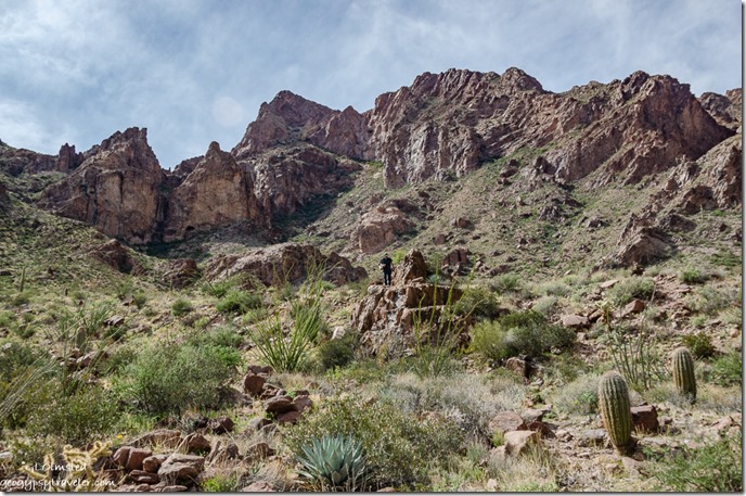
Bob desert Kofa Mts Ten Ewe Canyon Kofa National Wildlife Refuge ArizonaPresumably there’s a trail to 4877 foot Signal Peak, which was not our goal.  This was a slow walk with some boulders to negotiate looking for flowers or anything else that caught the eye.  I was happy to see moist ground, patches of grass, and many shades of green.

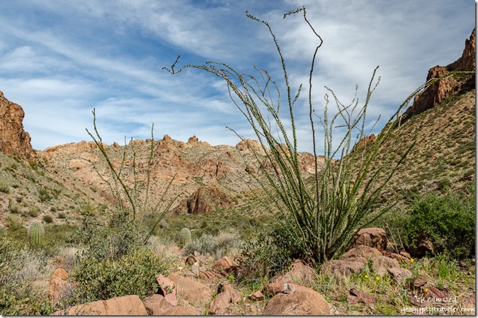
Ocotillo desert Kofa Mts Queen Canyon area Kofa National Wildlife Refuge ArizonaA few Poppies lower right

On the walk back I had to stop when becoming suddenly nauseous.  I believe I was overheated, lacked salts, and hadn’t eaten enough though I was drinking water.  A reminder to get out more and be prepared.
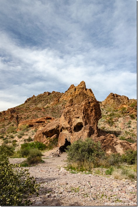
Skull rock Queen Canyon area Kofa National Wildlife Refuge ArizonaOn the return drive, Bob stopped at Skull Rock where there was now only one OHV with a lady looking up into the hills.  I was going to be content enough to take photos from sitting inside the van.
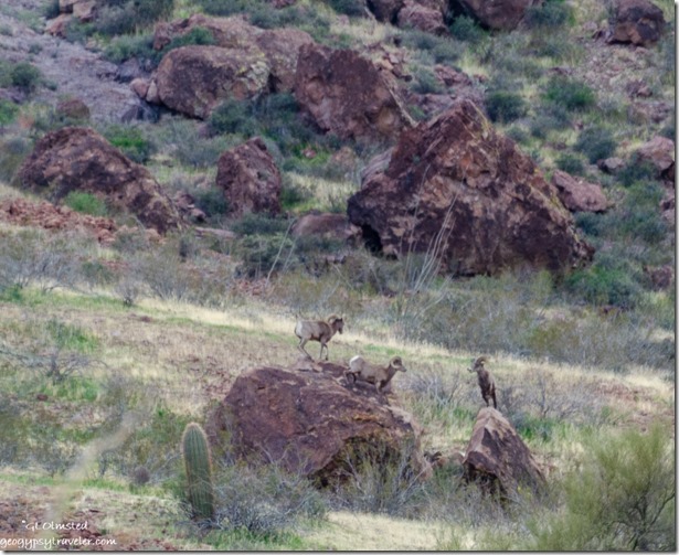
Bighorn Sheep Queen Canyon area Kofa National Wildlife Refuge Arizona

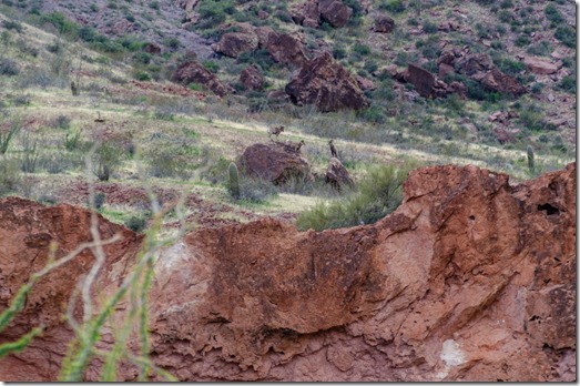
Bighorn Sheep Queen Canyon area Kofa National Wildlife Refuge ArizonaBut on the other side of the road, over 100 yards away, were several Bighorn sheep cavorting on a large boulder.  So I got out for that and zoomed in best I could.
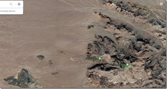
Palm Canyon Signal Pk & Queen Canyon Kofa National Wildlife Refuge Arizona google mapLeft green Palm Canyon, right green Signal Peak, and canyon at top right is Queen Canyon

Thanks for the delightful afternoon Bob.  BTW, I felt just fine by the next day.
desert Kofa Mts clouds Palm Canyon Rd Kofa National Wildlife Refuge Arizona

desert Kofa Mts clouds Palm Canyon Rd Kofa National Wildlife Refuge Arizona

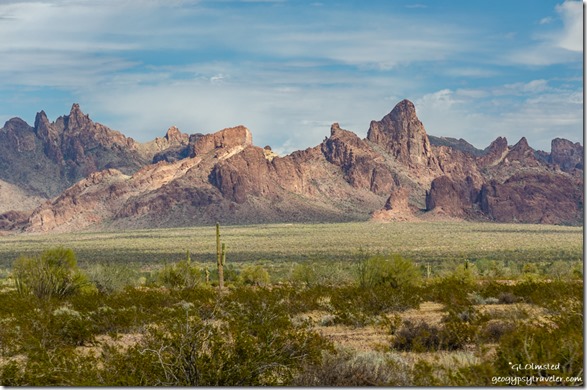
desert Kofa Mts clouds Palm Canyon Rd Kofa National Wildlife Refuge ArizonaThe next day in camp I took photos looking back to the Kofa Mountains and Queen Canyon we’d just been in, trying to put in perspective where we were.  I love to connect the dots that way.  (In the first pic just to the left of the big Saguaro and that rocky knob is Queen Canyon to the right.  Zooming in, just left of center it’s now a double knob below a ridgeline on the next two shots and the road is barely visible to the left.)
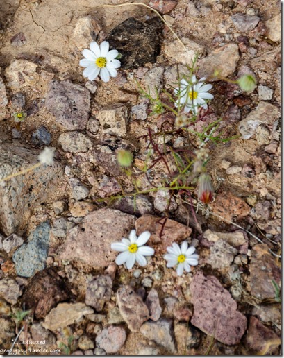
white Small Desert Star flowers Palm Canyon Rd Kofa National Wildlife Refuge ArizonaSmall Desert Star (smaller than a dime)

Also cool, is connecting with people.  One afternoon I saw a lady walking towards my camper from the road.  Turns out Jodie from Alberta reads my blog.  We stood around chatting for quite a while before the sun, and temperature, began to sink.  No photos of course, her comfortably in shorts and me layered with a jacket.
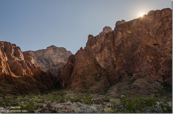
Palm canyon walls sunburst Kofa National Wildlife Refuge ArizonaSignal Peak at the end of Palm Canyon

I love the way social media brings people together and provides information.  Because I follow the Kofa NWR FB page I saw the announcement for a Saturday morning guided walk up Palm Canyon.

Although I hadn’t been there this winter, I have hiked this 1-mile round trip trail a couple times before where I wrote about the geology and ecology.  I was happy to join 30+ other folks mostly my age and degree of aptitude lead by a recently graduated biology student working her summer internship with USFWS (US Fish & Wildlife Service).  Also along to answer questions was the volunteer host/helper for the last six winters along Palm Canyon Road.  Bound to learn something new and I wasn’t disappointed.  Did you know, Mountain Sheep can survive 3-7 days without water but fortunately the recovered herds at Kofa have developed springs to satisfy their thirst.  I’m sure those water sources are also used by other wildlife like Pronghorn, coyote, fox, mountain lion, mule deer, and more.

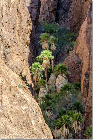
Arizona Palm trees Palm Canyon Kofa National Wildlife Refuge ArizonaArizona Palm trees Palm Canyon Kofa National Wildlife Refuge Arizona

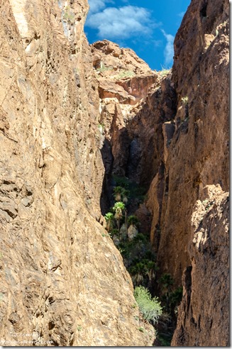
The trail climbs a little over some rocky terrain so I hung back to take my sweet time, and a few photos of course.  A sign points to the side canyon where the only known native Arizona Palms survive, even after a fire in 1953.  A short window, at the right time sends the afternoon sun onto the palms.  While waiting, I chatted with a Canadian couple who’d been on the walk.  Most folks had turned around.  A few continued up canyon, and a couple started to climb up the canyon with the palms.

I was happily tired upon returning to the camper and made lunch in the parking lot.
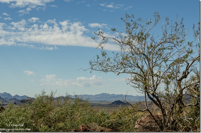
trees valley mountains from Palm Canyon trl Palm Canyon Kofa National Wildlife Refuge ArizonaOn the down-hill drive I noted several suitable campsites spaced more than comfortably apart along this rougher version of the Palm Canyon Road.  Various RV rigs including vans, motorhomes, tow-trailers, 5th-wheels, and campers like mine made their way those extra miles.  I even saw a couple tents near the very end of the road.
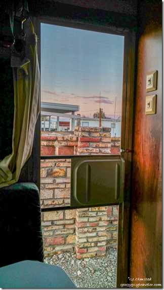
door view sunset Shady Lane RV Park Quartzsite ArizonaBut I needed to take care of RV chores.  So I drove back to Quartzsite and paid $22.50 for a night at Shady Lane RV Park because otherwise it would cost $8 for a shower, $15 dump tanks, and $2 to take on water, so why not.  Even got the laundry done before leaving.  And I get electricity to charge camera batteries, phone, and laptop.  Only a weird view for one night.
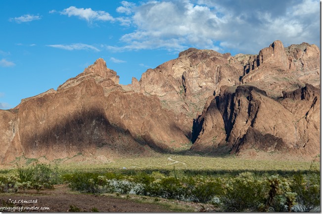
Sonoran desert Palm Canyon Rd Kofa National Wildlife Refuge Arizona

desert Palm Canyon Kofa Mts Palm Canyon Rd Kofa National Wildlife Refuge ArizonaI’d been watching the weather forecast and saw Monday might bring rain with over night around 46°F.  That’s not really cold.  I considered a trip to Wickenburg for mail, a trip to my hairdresser in Yarnell, and camp along Vulture Mine Road.  Instead, possible snow in Yarnell Monday sent me back to, where else this winter, Kofa NWR to another camp further up the road.  In fact I’m within sight of the end of the road and trailhead parking lot, maybe 1 1/2 miles away.  My nearest neighbors included 4-5 other campers well spread out.  The signal was iffy at best.
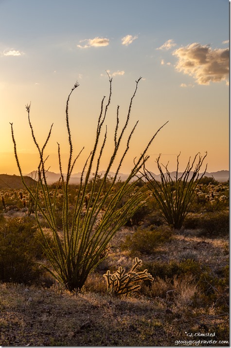
Sonoran desert sunset Palm Canyon Rd Kofa National Wildlife Refuge Arizona

Sonoran desert cholla sunset Palm Canyon Rd Kofa National Wildlife Refuge Arizona

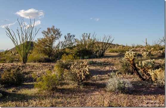
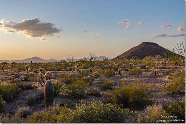
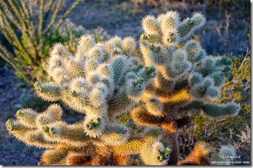
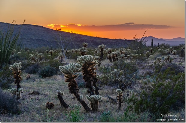
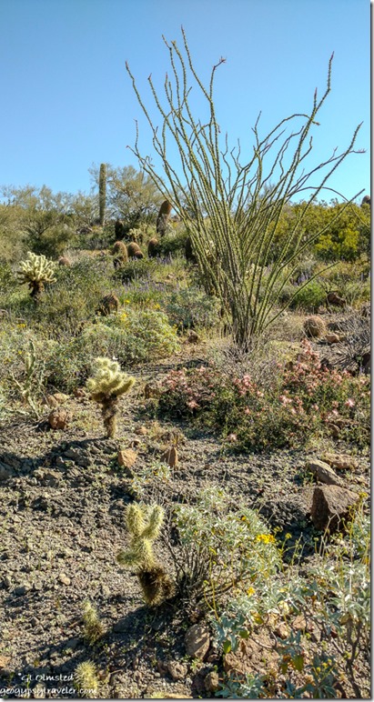
Sonoran desert sunset Palm Canyon Rd Kofa National Wildlife Refuge ArizonaIn the afternoon lots of cholla light up joined by Ocotillos all decorated in green and some nearby Saguaro cactus.  A few creosote bushes already heavy with buds begin to flower in yellow.

Sonoran desert sunset Palm Canyon Rd Kofa National Wildlife Refuge Arizona

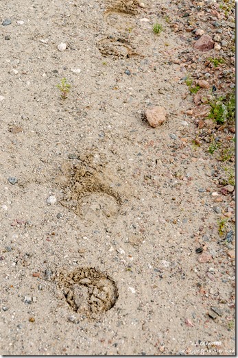
burro tracks Palm Canyon Rd Kofa National Wildlife Refuge ArizonaI’m guessing burro

USFWS designates dispersed campsites with consideration for the land.  Kind of like it should be anyway, and too bad there has to be rules.  All sites are close to the road but there is little traffic most of the time and only wildlife after dark.
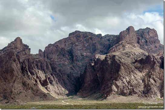
desert Kofa Mts clouds Palm Canyon Rd Kofa National Wildlife Refuge Arizona

Palm Canyon Kofa Mts clouds Palm Canyon Rd Kofa National Wildlife Refuge ArizonaMaybe the morning’s incoming clouds chased off the three campers further up the road, or maybe it was just time to move on.
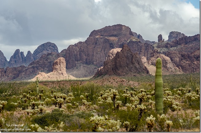
desert Kofa Mts clouds Palm Canyon Rd Kofa National Wildlife Refuge ArizonaI love to watch clouds, and these did not disappoint.  Changing faster than I could photograph throughout the day.  Way too chill and windy to just hang outside so I got my exercise getting in and out of the camper like a Stairmaster.  With only a 40% chance of rain those clouds could have taken their moisture with them.
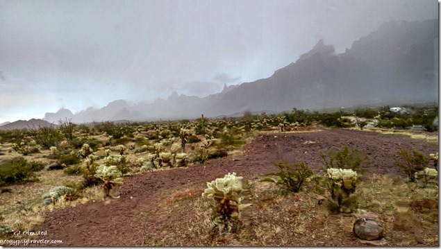
through window rain desert fog Kofa Mts Palm Canyon Rd Kofa National Wildlife Refuge ArizonaInstead, around 2pm a few splatters fell.
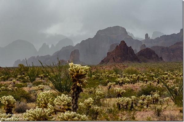
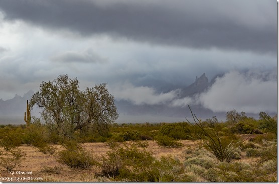
desert Kofa Mts low clouds Palm Canyon Rd Kofa National Wildlife Refuge ArizonaThen the clouds dropped, hiding some layers of the Kofa Mountains.  The wind increased bringing a steady but not heavy rain for about an hour.
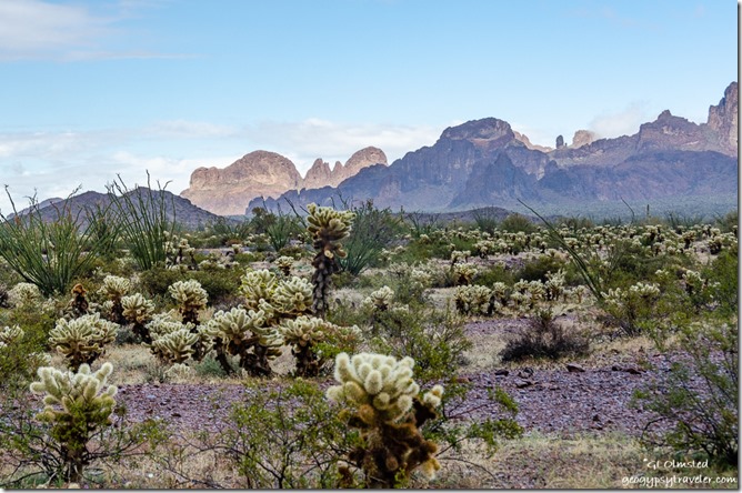
desert Kofa Mts Palm Canyon Rd Kofa National Wildlife Refuge ArizonaThe system moved quickly from northeast to southwest.  And was suddenly gone.
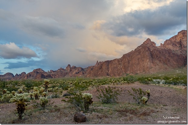
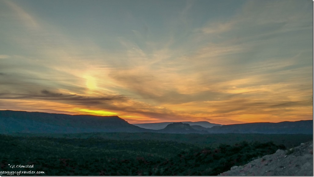
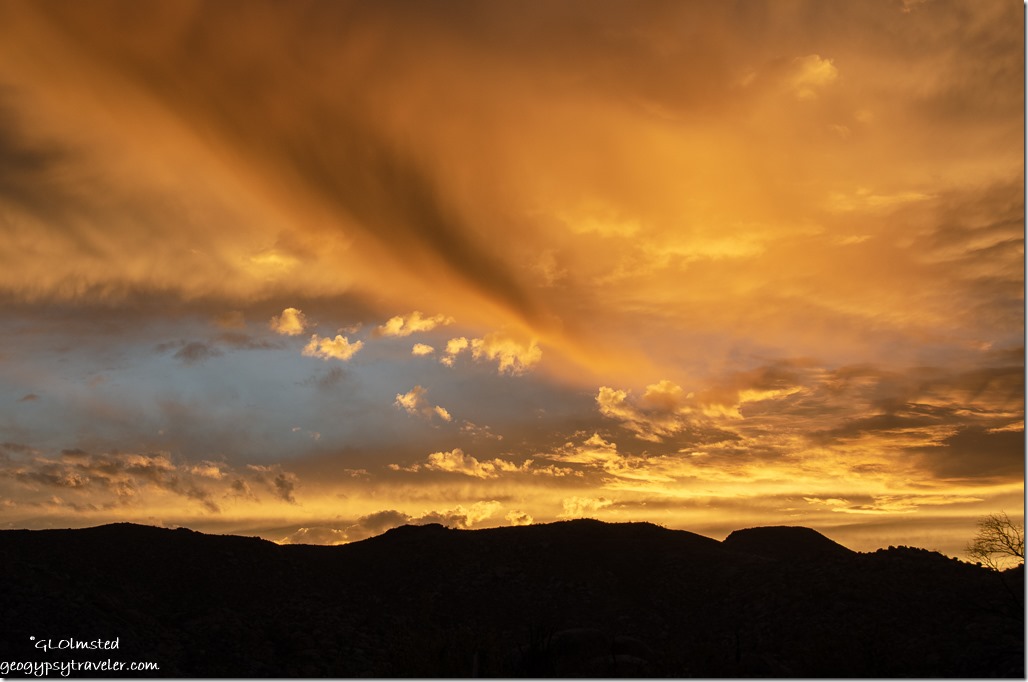
desert Kofa Mts sunset clouds Palm Canyon Rd Kofa National Wildlife Refuge ArizonaLater, enough clouds hung out for a pretty yet not overly colorful sunset.

Lots of photos this week in a long post.  That’s what happens when I’m in a place for a while.  So many new sights on the Kofa NWR and I’ve barely scratched the surface of the 665,400 acres.

And now I’m feeling the pull further south by a rumor of wildflowers.  I’ll be off to Why, Arizona.  Almost as good as Nothing but has a tiny store, restaurant, and Indian Casino plus BLM boondocking in dense Sonoran Desert adjacent to Organ Pipe Cactus National Monument (where I don’t want to see the destruction by building a needless wall).
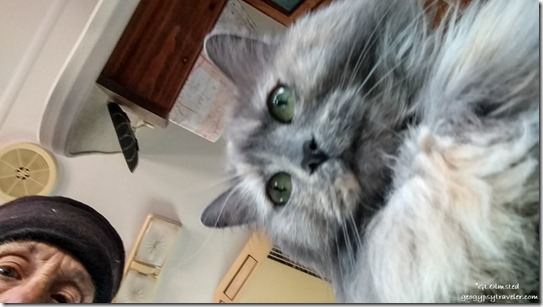
Gaelyn & Sierra cat selfieThe shutter on the big Nikon is dying.  Sometimes just a long lag, sometimes nothing at all.  I turn the camera off and back on which sometimes works.  I’ve taken the battery out and back in and sometimes that works.  And sometimes, it works for a while.  Costs more to replace the shutter than the camera body is worth.  I am sad for this “Big Girl” Nikon D5100 who has served me well since 2012.  Here’s hoping she hangs in there longer as I can’t afford to replace her right now.

Push my buttons!

  • Click to share on Facebook (Opens in new window) Facebook
  • Click to share on X (Opens in new window) X
  • Click to share on LinkedIn (Opens in new window) LinkedIn

Like this:

Like Loading...
Arizona, Kofa NWR, Places I've been, United States BLM, boondocking, camping, Kofa Mts, NWR, Sonoran Desert, USFWS 16 Comments
16 October 2019

Settling in Cedar City Utah

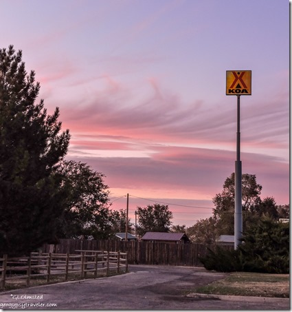
trees sunset clouds KOA Cedar City UtahI never thought I’d be settling in Cedar City Utah, yet all conveniences are here and so is physical therapy (PT).

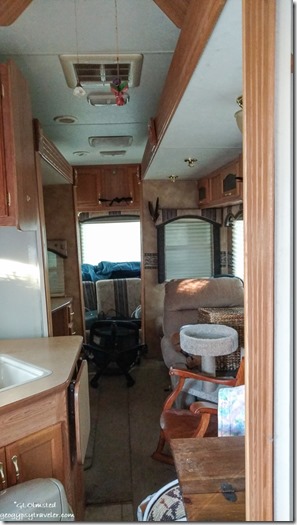
inside 5th-wheel slides in Bryce Canyon National Park UtahLooks tiny with the slides in

Under normal circumstances without two healing wrists I would have been moved with everything battened down in the 5th-wheel with slides in in a matter of hours instead of days.  Yet I had plenty of time until realizing night time lows would drop to teen° for several nights before I was scheduled to leave the 8000 foot Bryce Canyon National.  So I backed up my departure date by two days and with the generous help of a friend, Jen, moved the last stuff into the camper and packed it away.

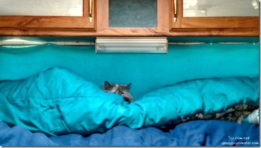
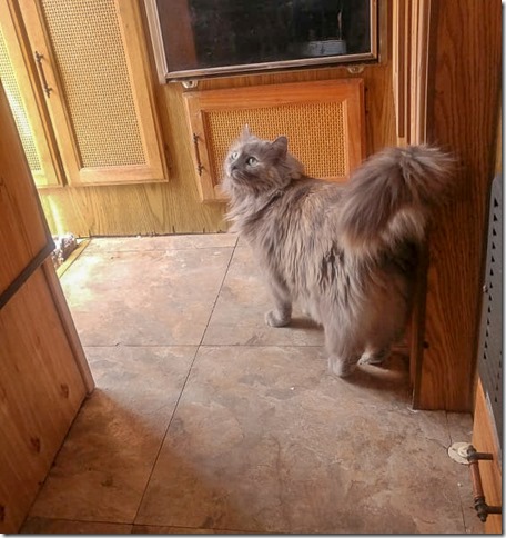
Sierra cat on camper bedSierra was honestly the last move and she may have been worried what with watching us go in and out of the 5er all day.  Plugged in with heat, we slept the night in the tiny house.  In the morning, Jen and husband Todd came over and he drove my truck the 1 1/2 hours to Cedar City following Jen with me as a passenger.  Saved me from the long curvy drive in my wrist braces.

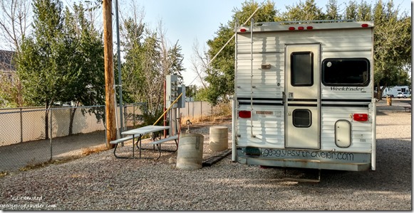
truck camper KOA Cedar City UtahFirst stop, surgeon’s office for x-rays that look good and referral for PT, which is right across the hall.  And only two blocks from the next stop, KOA, home sweet home for a month.  With me guiding and setting leveling blocks, Todd parked the truck and I plugged in to electricity.  Much needed for the next couple 20° nights.  Because I’m parked next to the dog run, Sierra and I are entertained by the variety of breeds.

Then we were on our way to drop donations at Deseret Industries Thrift Store where I bought a pair of size 10 jeans as the 12s are falling off.  Next stop, broken denture tooth repaired followed by a few groceries and back to my new temporary home, exhausted.  And that’s pretty much where I stayed for the next three days with highs in the low 40s and lows in the mid 20s.  I also took the wrist braces off for most of the day.  I don’t have a lot of motion in my wrists but am able to do more every day.

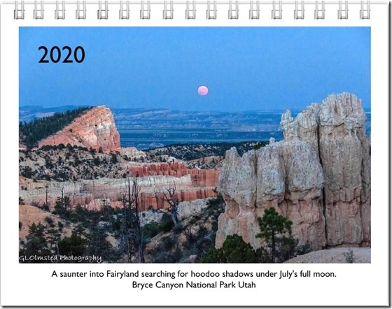
2020 calendar cover shotI finished formatting and ordered the 2020 calendar.  Still taking orders.

trees sunset clouds KOA Cedar City Utah

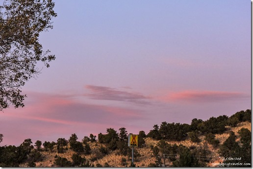
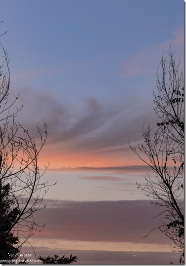
trees sunset clouds KOA Cedar City UtahI’ve actually taken a few photos with the small camera and hoped to shoot full moon rise from the KOA.  There is a low ridge across Main Street to the east but it was almost past my bedtime when the moon would crest so I took advantage of the few clouds that showed color for sunset over the condos and missed the moon.

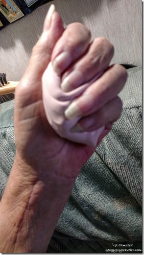
Gaelyn's hand with puttyTuesday I walked 15 minutes to PT.  The therapist was happy with my progress so far, measured my mobility, and set me to exercises trying to bend the wrists all directions.  Backwards is the most limited.  I’ll do these exercises at home three times a day.  Plus squeeze a chunk of silly putty to strengthen my hands and forearms.

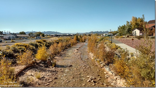
Coal Creek from Main Street bridge Cedar City UtahCoal Creek

Because it was a pleasant 70° afternoon I walked about six blocks for a burger and fries, don’t recommend Brad’s.  On the return I stopped at the Cedar City visitor center adjacent to the Frontier Homestead State Park Museum that I’ll have to return to earlier in the day.  I think I’ll be able to stay busy in Cedar City Utah for a month.

Push my buttons!

  • Click to share on Facebook (Opens in new window) Facebook
  • Click to share on X (Opens in new window) X
  • Click to share on LinkedIn (Opens in new window) LinkedIn

Like this:

Like Loading...
Cedar City, Places I've been, United States, Utah camping, KOA, PT 24 Comments
02 April 2019

Dusty 65th birthday camping along Cow Creek Road with flowers

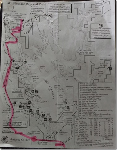
scene & painting from camp Cow Creek Road BLM ArizonaIn late February Joann and I took a day drive to explore around the west side of Lake Pleasant finding the perfect views along Cow Creek Road and marked the map thinking to return and camp.  What a difference a month makes.

Gaelyn camp Cow Creek Road BLM Arizona by JoannBecause 65 years ago I was born in an Illinois snow storm but now live in Arizona, I like to run away where it’s unlikely to snow and experience the warm temperatures and flowers of spring in the desert.  Mornings were barely cool and days reached the mid 80s.  Delightful to thaw out after the winter in Yarnell.

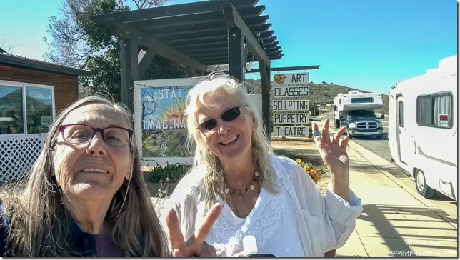
Gaelyn Joann Station of Imagination campers Yarnell ArizonaSunday morning we finished the last minute packing in our individual rigs and rendezvoused in front of Joann’s place in town.  Sierra and I hadn’t been out since January’s trip to Kofa for the lunar eclipse.  This was a shakedown cruise for Joann’s RV after recently having some work done.

Joann's RV gravel Castle Hot Springs Road Lake Pleasant Arizona

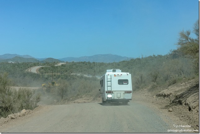
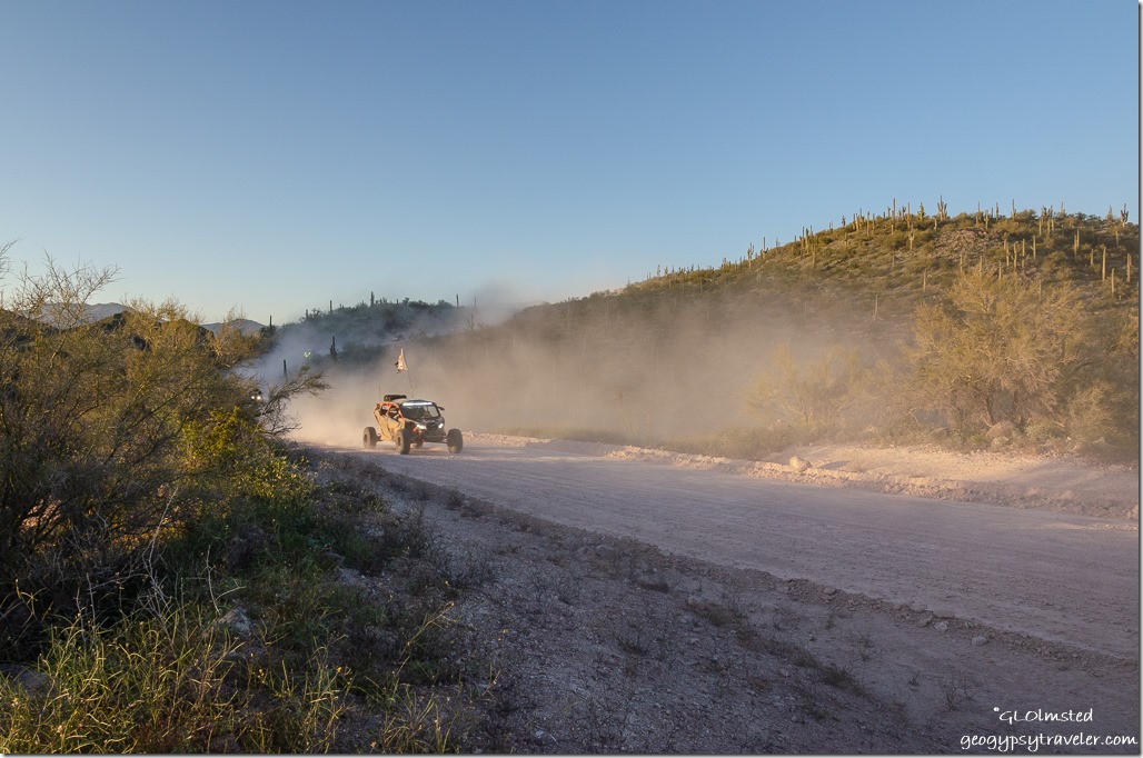
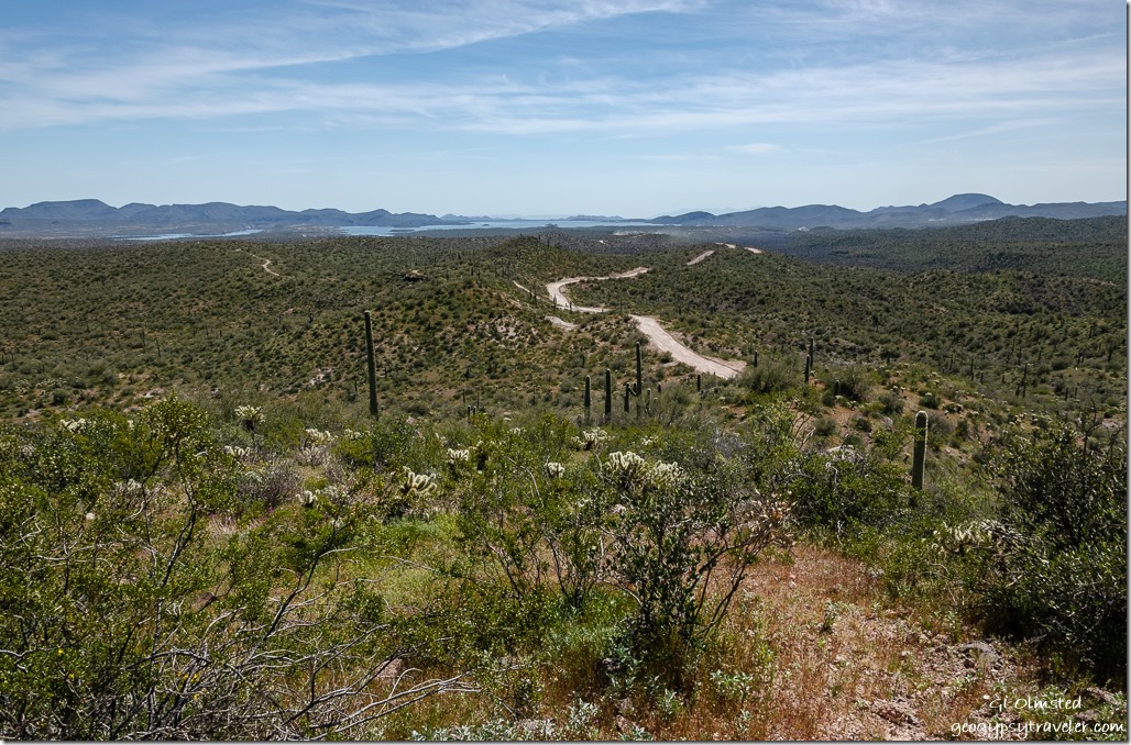
Cow Creek Lake Pleasant mountains Cow Creek Road ArizonaI followed her down Yarnell Hill to Wickenburg for a quick grocery stop then continued to the second left turn for Castle Hot Springs Road.  After five miles of pavement to the second possible park entrance on the right, we turned left and continued off pavement to Cow Creek Road on the right.  Although some rigs were leaving there was still a lot of traffic with rows of OHVs kicking up dust too thick to easily see through.  Drivers and passengers wore goggles, helmets, and cloth over their faces, gloved hands gripped the wheel and no skin showed through.  With windows up and AC on we crept along.  Eventually Joann waved me in front to find a camp.

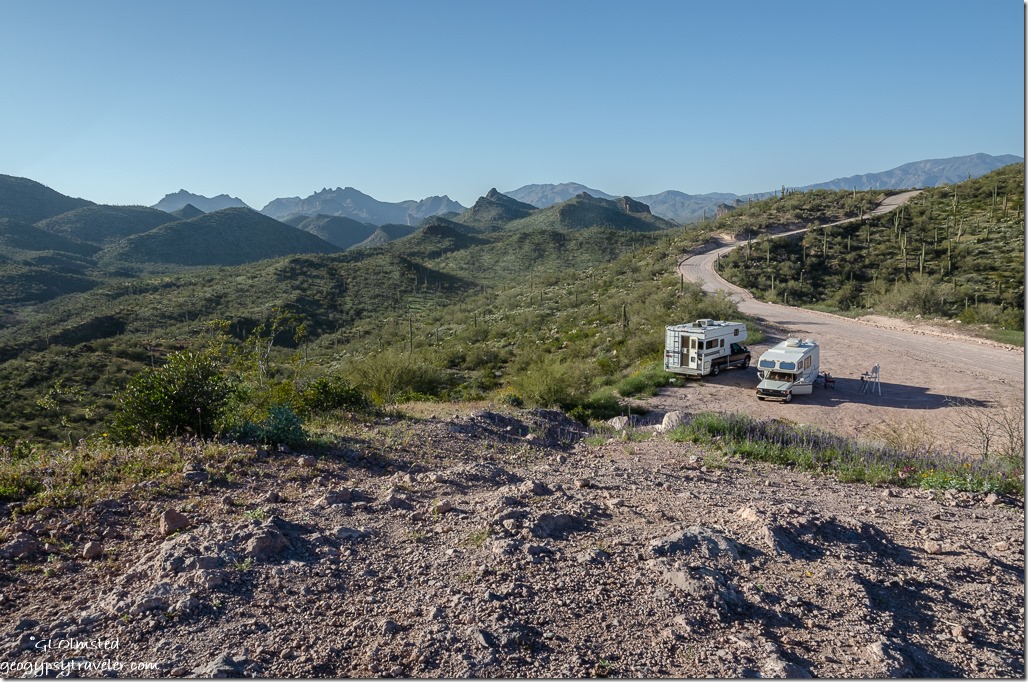
dust OHVs from camp Cow Creek Road BLM ArizonaOMG!, I thought.  It’s Spring break.  What kind of dusty Hell was I leading us into?  For six miles we slowly crawled up and down and curved around on the well graded gravel past OHV camping, out of the “park”, and on to BLM with no options for boondock.  I kept looking for that view we’d experienced on our previous visit and finally found it with a raised and dusty wide place not far enough off the road esthetically but would have to work.  I stopped and motioned Joann to park watching the right front tire lift completely off the ground going up but nothing in the rear scraped.  After she chose her almost level place I pulled in along the far edge and leveled up with boards.

Lake Pleasant area mapChairs out in the limited afternoon shade and we had camp.  Along with much dusty entertainment, great views, and a signal too.  I texted a map to Sandee who would be joining us Tuesday.
RVs road valley mountains from above camp Cow Creek Road BLM Arizona

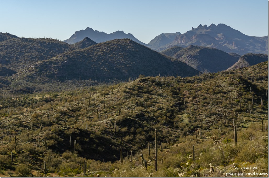
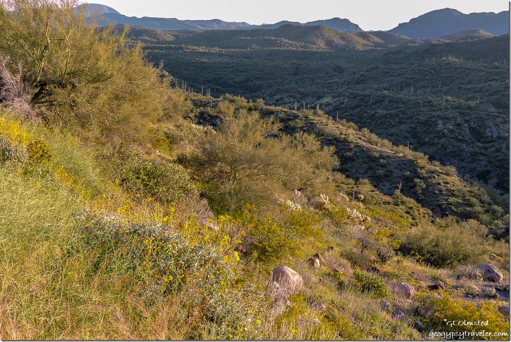
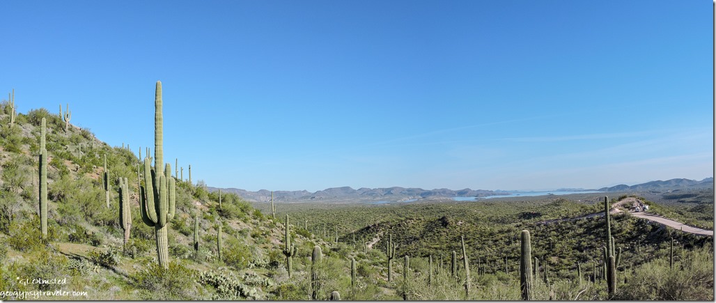
desert view South from above camp Lake Pleasant Cow Creek Road BLM ArizonaA hillside climb created by OHVs provided 360° views.

Owl eyes clover & lupine flowers BLM Lake Pleasant Arizona

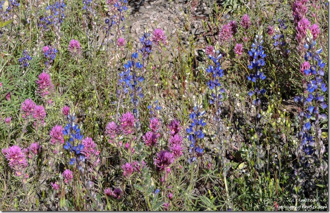
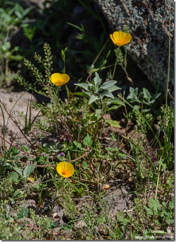
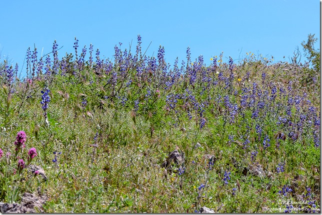
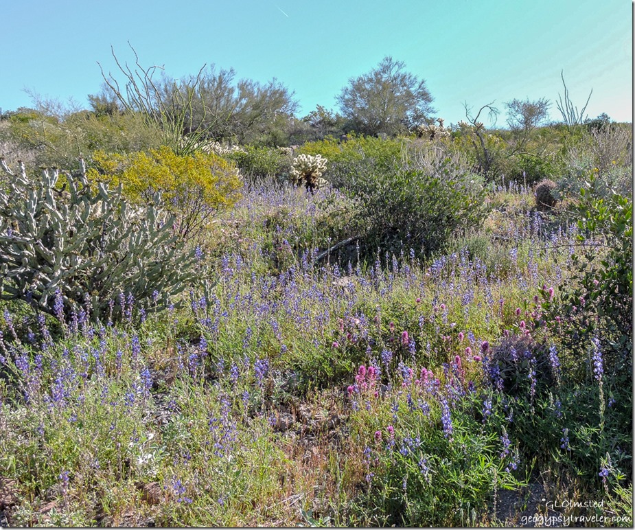
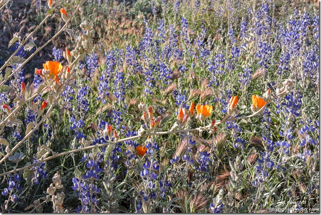
yellow Poppy flowers camp Cow Creek Road BLM ArizonaAnd there were patches of flowers scattered around.  Lots of blue lupines, interspersed with deep magenta owls eye clover with its tiny dots of bright yellow, some blue/purple scorpion weed, a few orange poppies, and one white desert chicory.

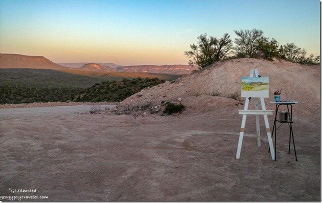
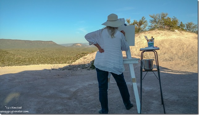
Joann painting in camp Cow Creek Road BLM ArizonaJoann set up her easel and caught the basic view with her watercolors in the late afternoon light.

desert from camp Cow Creek Road BLM Arizona

mountains sunset Cow Creek Road BLM Lake Pleasant ArizonaWe could see flowers over an edge on the west but it was way too steep for a late walk and intensely bright as there were no clouds so there was also not a colorful sunset.  After dinner we sat outside wrapped in blankets and watched the sky, Big Dipper, Orion, and Cassiopeia.

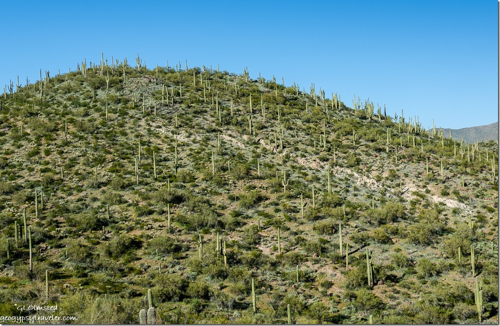
hill saguaros from camp Cow Creek Road BLM Arizona

saguaros mountains from camp Cow Creek Road BLM ArizonaShooting all afternoon with the big Nikon I looked at the photos on my laptop that night and was terribly disappointed with the lack of crispness.  Don’t know if it’s me or the camera but I have been shooting with this for seven years, and that’s a lot of clicks.

desert flowers Cow Creek Road BLM Arizona

Owl eyes clover & lupine flowers below camp Cow Creek Road BLM ArizonaThe next day I changed to my small mirrorless Nikon, which I’m not really happy with but was hoping the pics might be sharper.  Ha.  Also used my cell phone camera.

desert below camp Cow Creek Road BLM ArizonaIn the morning we ventured down the bank via the most gradual place we could find, tip toeing between the glowing jumping cholla and all the little balls of trouble on the ground.  Joann got one stuck to her pants and was reaching for it with her fingers when I yelled stop then grabbed it off between two small rocks.

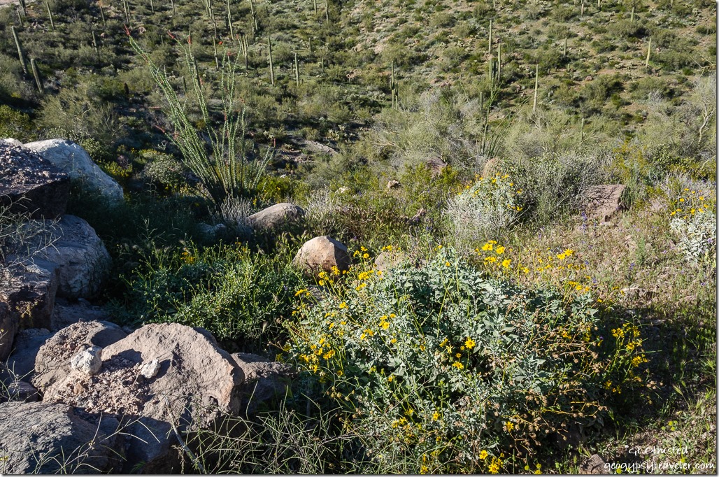
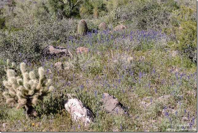
flowers desert below camp Cow Creek Road BLM ArizonaSuch a delightful cactus garden with patches of blooming colors.  Predominantly lupine and clover plus yellow daisy-like Brittlebush, and a blue flower on a tall stem I guessed is wild onion.

Sierra cat in Joann's RV camp Cow Creek Road BLM Arizona by JoannI hadn’t let Sierra out the day before, so after our walk I got brave and just left the camper door open.  She was so good.  Did a little exploring never out of sight and mostly just hung out in the shade watching the world.  Plus she visited inside Joann’s RV.
saguaros valley mountains Cow Creek Road BLM Arizona

orange Globe Mallow & blue Lupine flowers Cow Creek Road BLM ArizonaThe rest of the day was primarily moving our chairs around the rigs to sit in the shade and just enjoy, share stories, and laugh.  Still a few dust devil OHVs but not like the race of the day before.  I took a short warm walk in the late afternoon adding splashes of orange Globe Mallow to compliment the blue lupines.

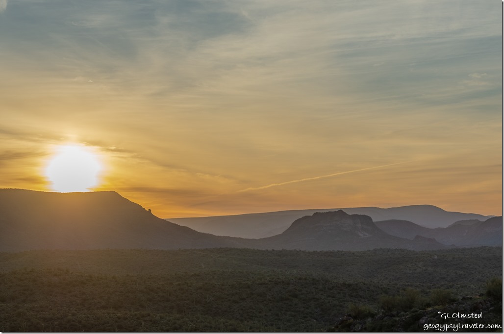
mountains sunset clouds from camp Cow Creek Road BLM ArizonaAfter a soft pastel sunset we both called it an early evening.

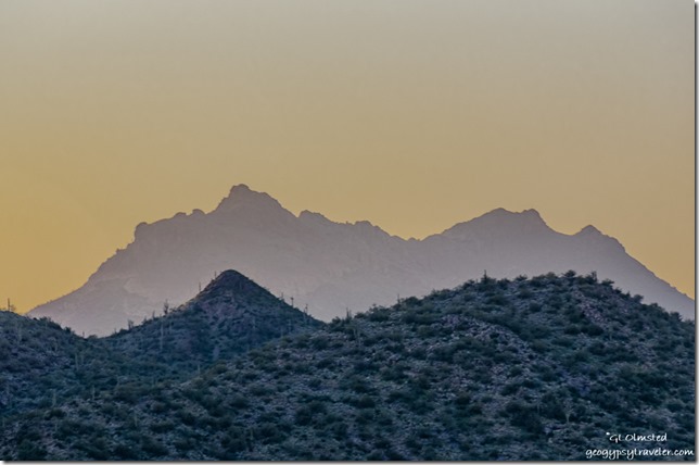
Bradshaw Mountains sunrise clouds from camp Cow Creek Road BLM Arizona

Bradshaw Mountains sunrise clouds Cow Creek Road BLM Lake Pleasant ArizonaAnd because of that I woke up in time for a colorful sunrise.  First peaked out the window then drug myself out of bed.  A delightful way to start my new year.

Saguaro cactus Cow Creek Road BLM ArizonaAnother day mostly just hanging out in camp searching for elusive shade.  Wandering on whim.

donkey Cow Creek Road BLM Lake Pleasant ArizonaOccasionally heard a donkey serenade, “HeeHaw, heehawheehaw, heehawwww.”  Searching hillsides with the binoculars Joann finally found the lone guy.  Look closely in the middle.

Sandee & Gaelyn RVs Cow Creek Road camp BLM Lake Pleasant Arizona by Joann

strawberry shortcakeSandee arrived just after noon and much white knuckling on the gravel hilly drive in.  We shared strawberry shortcake for my birthday.  Then Joann left about 2:30pm.

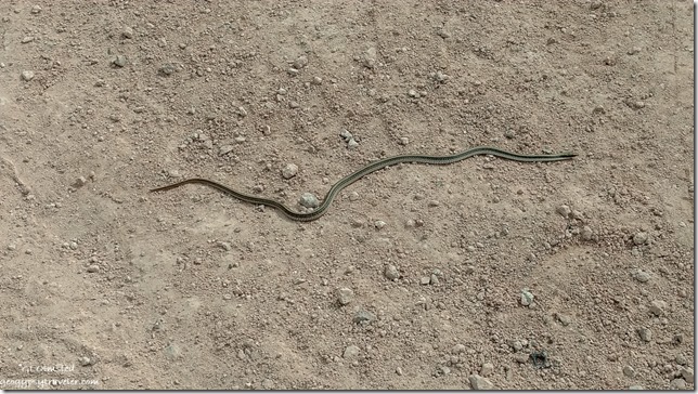
Mexican Gartersnake in camp Cow Creek Road BLM ArizonaWe sat around catching up since our last adventure in Valley of Fire.  Sandee has met up with me before to celebrate my birthday.  Truly, the biggest excitement of the day was Sandee’s sighting of a Gartersnake.

flowers desert valley mountains from camp Cow Creek Road BLM ArizonaBy the next day my sunburned face ached and I felt hot, dusty, tired, and ready to head home.  So I lead the way out at noon and Sandee did much better on this drive.

Weaver Mountains sunset clouds Yarnell Arizona1 1/2 hours later, camper backed into the driveway to unpack.  Enjoyed a spectacular sunset like hoped for out on the desert.  Yet all in all, I had a marvelous time.  Another birthday put to bed with great friends in a beautiful place.

Push my buttons!

  • Click to share on Facebook (Opens in new window) Facebook
  • Click to share on X (Opens in new window) X
  • Click to share on LinkedIn (Opens in new window) LinkedIn

Like this:

Like Loading...
Arizona, birthday BLM, camping, Cow Creek Road, Lake Pleasant, wildflowers 28 Comments
← Older posts
Newer posts →

Hi, I’m Gaelyn, the Geogypsy

I retired after 29 summer seasons as a Park Ranger, traveling solo for 40+ years. My passions include travel, connecting to nature, photography, and sharing stories.

I started exploring US National Parks in 1977 and 20 years later became a seasonal Park Ranger.  I’ve lived full-time in a RV for 30 years working summers and playing winters.  I’m still trying to figure out what I want to be when I grow old, other than grow up.

Let’s share our stories.  Here’s more of mine…

My wheeleastate

I am currently…

…boondocking somewhere in southern Arizona.  In the area, give a shout.

Geogypsytraveler on YouTube

Follow my journey on YouTube. Just click the pic. Hope you’ll like, share, and subscribe.

Click image for 7 minute documentary (Password “geogypsy” lowercase)

Making the Gypsy documentary is a story of its own.  Click below for the rest of the story.

Living nomadically & connecting to nature documentary

Subscribe to Blog via Email

Enter your email address to subscribe to this blog and receive notifications of new posts by email.

Photos available for sale include prints, greeting cards, coffee mugs, tote bags, phone cases and more

Reflected Wave 24X16 metal print under $100

Custom Coffee Mugs

Many items to choose from including prints

The Last Blast 24 x 16″ metal print under $100

Need a signal boost? When I boondock on public lands sometimes signal is weak or intermittent and a booster helps. Click the pic to visit WeBoost.

Connecting to nature and the rest of the world too.

Please contact me for photo purchases not seen at GLOlmsted Photography

Order fulfillment is by Fine Art America. If you’re not happy with your purchase, for any reason, simply return it within 30 days, and you’ll receive a full refund of the purchase price.

Why read Geogypsy?

The gypsy life spring-summer 1998 - "You were a real pioneer. RV'ing before it was cool." ...Yogi

How do you process photos? - “Your photographs create an Emotional feeling in the viewer...that they become One with You.” …Cindy

Life’s transitions between travel and work play - "I know you love your job as much as you love travel -- it shines through all your posts." ...Sallie

Lions at Kruger National Park - “Wonderful post, thank you. I was hooked start to finish!” … Peter B

11 lessons looking back 2013 - “A great post -- made me think, made me smile, made me want to cry." ...Sallie

Wildlife video Kruger National Park - “Gorgeous, this makes me want to go straight to South Africa now.” … Ayngelina

Living nomadically & connecting to nature documentary - “What an experience you had and gave to the "crew." Sometimes I think you don't realize how unique and inspiring you are.” …Alan

Search

Popular Posts

1. Prioritize the well-being of nature over photography. 2. Educate yourself about the places you photograph. 3. Reflect on the possible impact of your actions. 4. Use discretion if sharing locations. 5. Know and follow rules and regulations. 6. Always follow Leave No Trace principles and strive to leave places better than you found them. 7. Actively promote and educate others about these principles

Categories

Archives

Sites I follow, read & recommend

  • A Full-time Life
  • A Yankee in Belgrade
  • Bob's Eyes
  • Box Canyon Blog
  • Camels and Chocolate
  • Dawns bloggy blog
  • In the Direction of Our Dreams
  • Jane in her infinite wisdom
  • Janie and Steve, Utah Trails
  • Kathie's Birds
  • Las Adventuras
  • Memorable Meanders
  • Oh, The Places They Go
  • On the Road Abode
  • Port Elizabeth Daily Photo
  • Stillhowlyntravels
  • Take to the Highway
  • Technomadia
  • the good luck Duck
  • Travel with the Bayfield Bunch
  • Wandering Earl
  • Wheeling It
  • Yogi's Den

Caught in a Slot 9×12 canvas print under $50

If you don’t like what’s going on in your government, contact your Congress

Directory of Senators

Directory of Representatives

Lijit

© Copyright 2008-2024. Geogypsytraveler.com
%d