• Home
  • About Geogypsy
    • Herstory
    • Parks where I’ve worked
  • Places I’ve been
    • United States
      • Arizona
        • Antelope Slot Canyon
        • Casa Grande Ruins National Monument
        • Colossal Cave Mountain Park
        • Flagstaff
        • Glen Canyon National Recreation Area
        • Grand Canyon National Park
          • Grand Canyon National Park North Rim
          • Grand Canyon National Park South Rim
          • Toroweap
        • Havasu Canyon
        • Horseshoe Bend
        • Jerome
        • Kaibab National Forest
        • Lee’s Ferry
        • Meteor Crater
        • Navajo Bridge
        • Oak Creek Canyon
        • Painted Desert
        • Pipe Springs National Monument
        • Prescott
        • Quartzsite
        • Saguaro National Park
        • Sedona
        • Sunset Crater Volcano National Monument
        • Vermilion Cliffs
        • Walnut Canyon National Monument
        • Wupatki National Monument
        • Yarnell
      • California
        • Anzaberrego
        • Bakersfield
        • Death Valley National Park
        • Joshua Tree National Park
        • Redwoods NP
        • Salton Sea
        • Yucca Valley
      • Colorado
        • Mesa Verde National Park
      • Florida
      • Illinois
        • IL River
        • Morton Arboretum
        • Starved Rock State Park
      • Michigan
      • Nevada
      • New Mexico
      • Oregon
        • Crater Lake NP
        • Mt Hood
        • Oregon Caves National Monument
      • Texas
        • Alpine Texas
        • Padre Island
        • Port Isabel
        • Rio Grande Valley
      • Utah
        • Brian’s Head
        • Bryce Canyon National Park
        • Buckskin Gulch
        • Cedar Breaks National Monument
        • Cedar City
        • Coral Pink Sand Dunes State Park
        • Dixie National Forest
        • Grand Staircase Escalante National Monument
        • Johnson Canyon
        • Kanab
    • World Travels
      • Germany
      • Mexico
      • South Africa
  • Tours
  • Photography
  • Work with Me
    • Sponsors
  • Contact
Geogypsy
Menu
  • Home
  • About Geogypsy
    • Herstory
    • Parks where I’ve worked
  • Places I’ve been
    • United States
      • Arizona
        • Antelope Slot Canyon
        • Casa Grande Ruins National Monument
        • Colossal Cave Mountain Park
        • Flagstaff
        • Glen Canyon National Recreation Area
        • Grand Canyon National Park
          • Grand Canyon National Park North Rim
          • Grand Canyon National Park South Rim
          • Toroweap
        • Havasu Canyon
        • Horseshoe Bend
        • Jerome
        • Kaibab National Forest
        • Lee’s Ferry
        • Meteor Crater
        • Navajo Bridge
        • Oak Creek Canyon
        • Painted Desert
        • Pipe Springs National Monument
        • Prescott
        • Quartzsite
        • Saguaro National Park
        • Sedona
        • Sunset Crater Volcano National Monument
        • Vermilion Cliffs
        • Walnut Canyon National Monument
        • Wupatki National Monument
        • Yarnell
      • California
        • Anzaberrego
        • Bakersfield
        • Death Valley National Park
        • Joshua Tree National Park
        • Redwoods NP
        • Salton Sea
        • Yucca Valley
      • Colorado
        • Mesa Verde National Park
      • Florida
      • Illinois
        • IL River
        • Morton Arboretum
        • Starved Rock State Park
      • Michigan
      • Nevada
      • New Mexico
      • Oregon
        • Crater Lake NP
        • Mt Hood
        • Oregon Caves National Monument
      • Texas
        • Alpine Texas
        • Padre Island
        • Port Isabel
        • Rio Grande Valley
      • Utah
        • Brian’s Head
        • Bryce Canyon National Park
        • Buckskin Gulch
        • Cedar Breaks National Monument
        • Cedar City
        • Coral Pink Sand Dunes State Park
        • Dixie National Forest
        • Grand Staircase Escalante National Monument
        • Johnson Canyon
        • Kanab
    • World Travels
      • Germany
      • Mexico
      • South Africa
  • Tours
  • Photography
  • Work with Me
    • Sponsors
  • Contact

Tag: camping

11 April 2016

Dog friendly hiking and camping at Snow Canyon State Park

April 5 & 6, 2016

We were seeking a nearby new adventure so went hiking and camping at Snow Canyon State Park in St. George only 72 miles (116 km) from home.  Actually Bill had been there before, but new to me and I love being surrounded by the striking contrast of Halloween colors in southern Utah.

Snow Canyon State Park Utah

Located about 11 miles (17.7 km) north of St. George off UT18, Snow Canyon’s  7,400 acres is part of the 62,000-acre Red Cliffs Desert Reserve protecting desert tortoise and its habitat.  The state park offers 38 miles (61 km) of hiking trails (only some dog friendly), a 3-mile (4.8 km) paved walking/biking trail, technical climbing and more than 15 miles (24 km) of equestrian trails.  All but four of the 29 campsites up to 40 foot pull-through typically require reservations.  Some sites have water and electric (30 amp).  There are also two group-site areas and restrooms with showers.
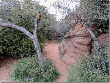
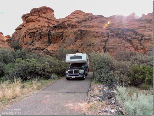
Truck camper in camp #21 Snow Canyon State Park Utah

Alcove by camp Snow Canyon State Park UtahWe mistakenly entered from the south following Snow Canyon Road through the subdivisions and several roundabouts, which I don’t care for.  Fortunately we got a first come first serve camp site for two nights (up to 14 days available) that was way sweeter and more private than the reserved with hookups.  A couple squirrels greeted us then scurried off and were not seen again.  Paved and almost level, site #21 would be too narrow for slides but there were other sites that would work.  Picnic table, BBQ, and fire pit, plus nice sandy alcove next to the carved redrock for a tent where we sat in the afternoon shade.

Rock camp & houses from Whiptail Trail Snow Canyon State Park Utah

After setting up camp we walked to one of the two dog friendly trails.  The Whiptail Trail is a paved 6-miles (9.6 km) round trip, considered easy and accessible, and is open for biking.  It pretty much parallels the park road.  We could easily see the campground and how close the urban reality encroaches on the park’s boundary on the cliffs above.

View South Whiptail Trail Snow Canyon State Park Utah

Where we joined the trail the crowded sand dunes were to the south so we opted for north.

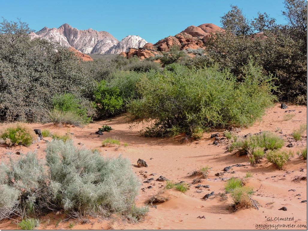
Sandstone view along Whiptail Trail Snow Canyon State Park Utah

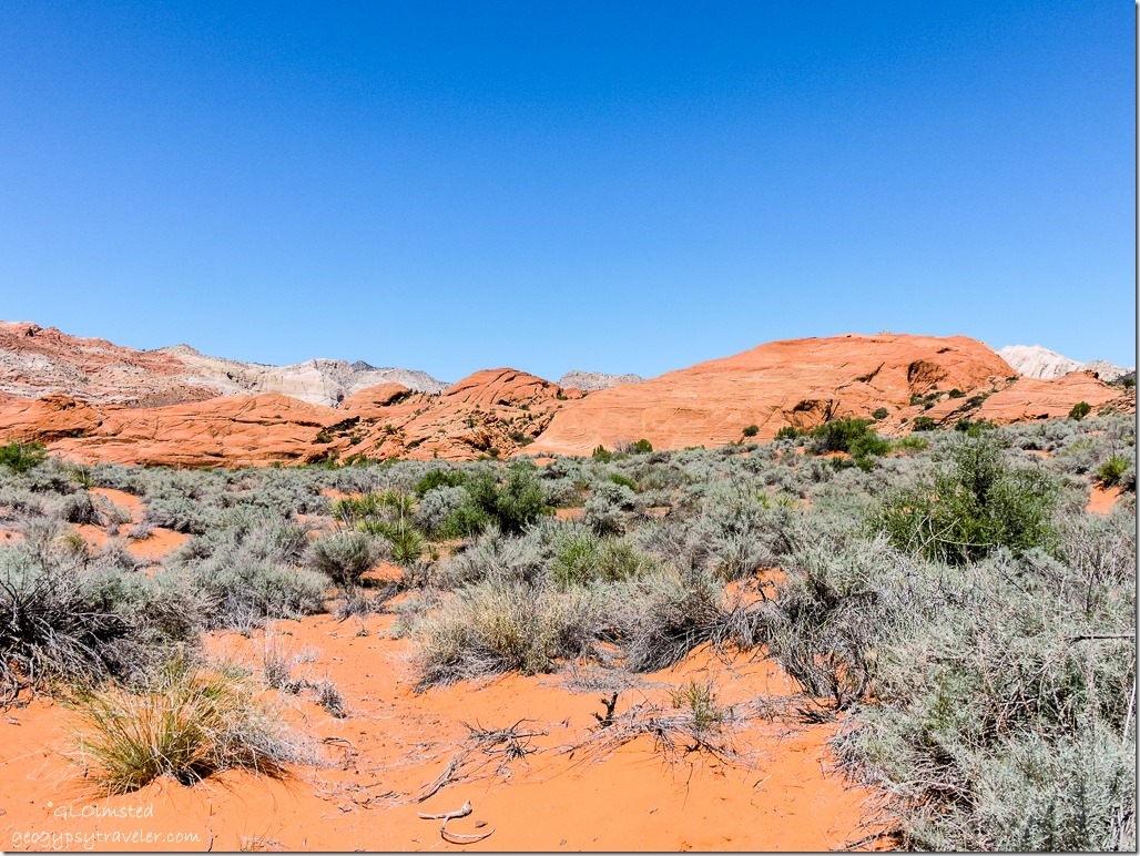
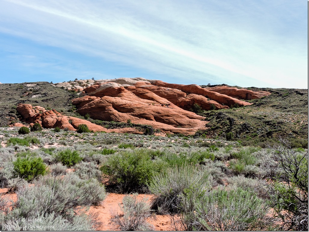
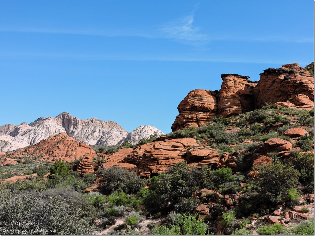
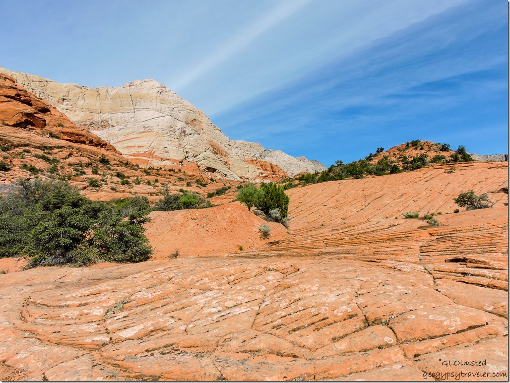
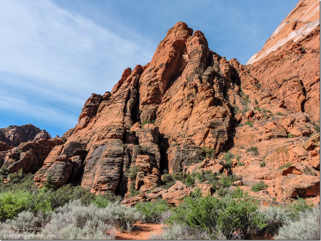
This took us within sight of the “petrified dunes” from an ancient sea of sand cemented into burnt-orange to creamy-white Navajo sandstone.
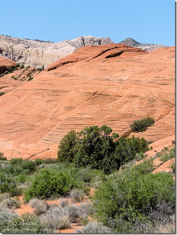
Sandstone view along Whiptail Trail Snow Canyon State Park UtahDidn’t go all that far before turning around.  Although the mid-day sun felt delightful the pavement was a bit warm for doggy feet.  The moderate walking was good for my knee but didn’t want to push it climbing these compelling rocks.
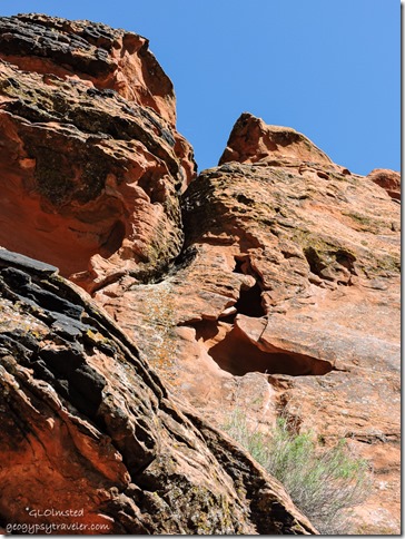


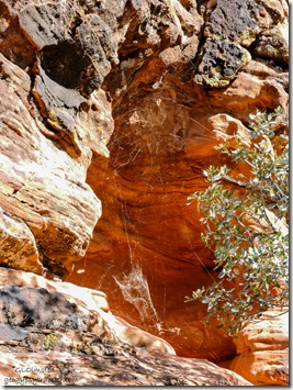
Looking up from camp shade Snow Canyon State Park UtahI would have liked to explore some of the carved holes but they appeared to be occupied.  Besides rock climbing is not allowed on the rocks behind the campground.
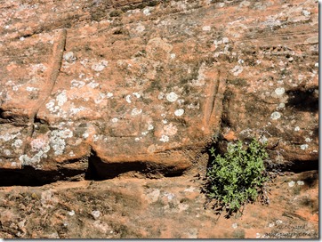
Spider webs in rock hole above camp Snow Canyon State Park Utah


Sharpening grooves near camp Snow Canyon State Park UtahSo instead we set up chairs in the shady alcove speculating whether what appeared to be sharpening marks were left by the Ancestral Puebloans who inhabited the region from A.D. 200 to 1250 for hunting and gathering.


West Canyon Road Snow Canyon State Park Utah

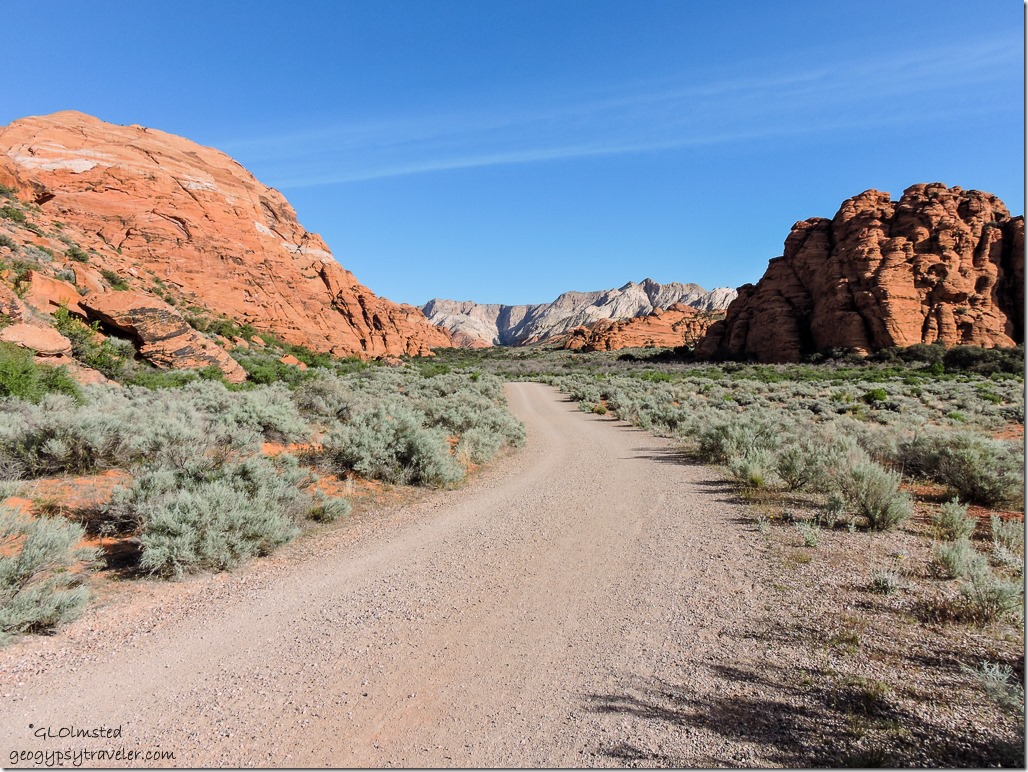
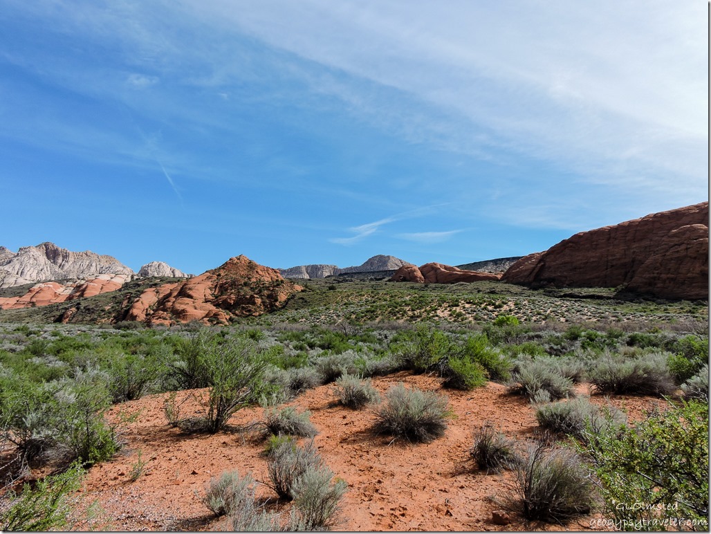
The next morning we woke up to the Chi-ca-go sound of Quail in camp.  I just love to watch their little bobble heads.  After a quick breakfast we drove down the road about a mile to park by another part of the Whiptail Trail that joined the other dog friendly, and biking, trail.  The West Canyon Road follows a gravel and sand maintenance road 4 miles (6.4 km) each way to the head of Snow Canyon.

West Canyon Road Snow Canyon State Park Utah

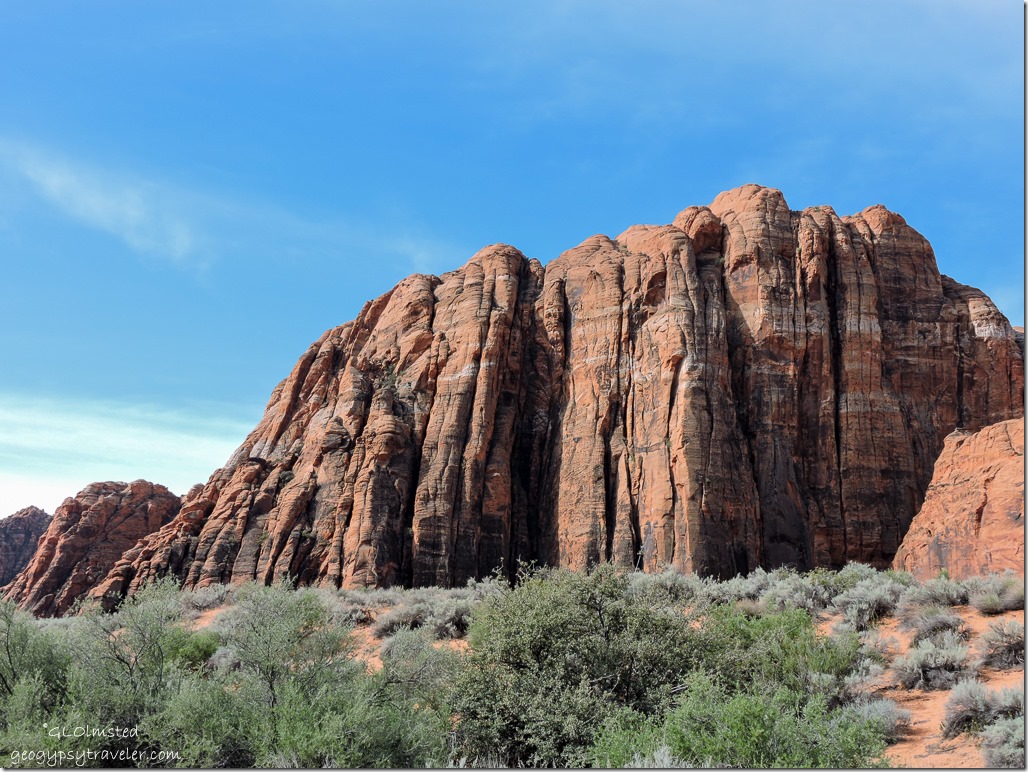
The rock beckons to be climbed and Snow Canyon is known locally to climbers.  However the technical climbing routes off West Canyon are closed from February 1st through June 1st to protect falcon nesting sites.  I heard a falcon and saw it soaring too far off for photos.

West Canyon Road Snow Canyon State Park Utah

Some trails lead over the slick rock where scrambling and moderate rock climbing is permitted in designated areas only.

West Canyon Road Snow Canyon State Park Utah

Many side trails lead up, into, and over the marvelous rock and across sandy washes.  Unfortunately, although many of these trails are horse friendly they don’t allow dogs.  Presumably dogs can spook horses.  I was spooked by bikers.  No offense to bikers, but I’m not fond of multiple use trails.
West Canyon Road Snow Canyon State Park Utah

West Canyon Road Snow Canyon State Park Utah

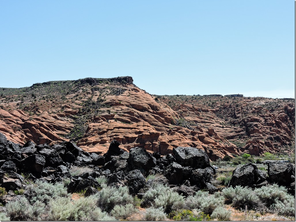
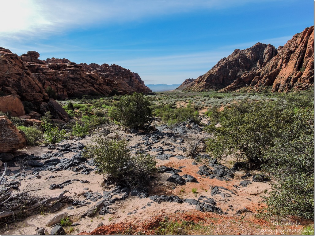
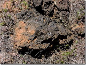
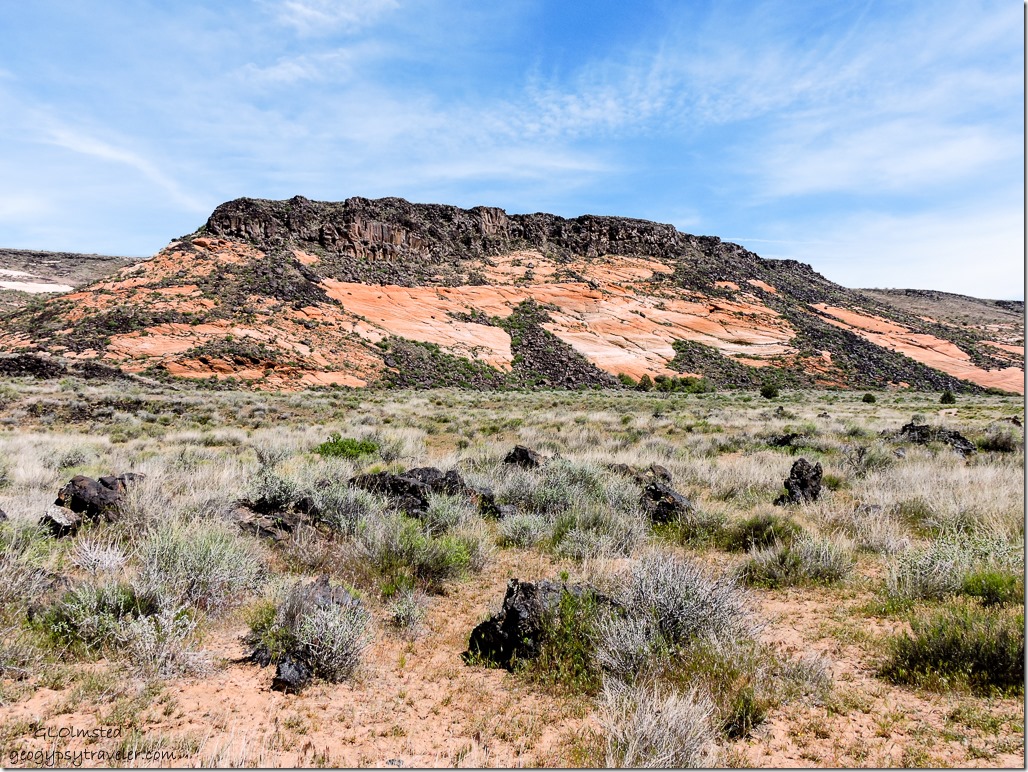
Lava rock Whiptail Trail Snow Canyon State Park UtahWhat is really amazing here is the contrast of black lava that flowed from nearby cinder cones about 1.4 million years ago and as recently as 27,000 years ago.  The once water carved sandstone canyons were filled with basalt which redirected the flow of water and eventually carved the canyons seen today.  Lava-capped ridges were once canyon bottoms.


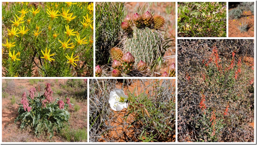
Wildflowers Snow Canyon State Park Utah

Goldenbush, Prickly Pear cactus, Manzanita, Desert Marigold, Penstemon, Primrose, Fragrant Beauty

Wildflowers didn’t carpet the land but were scattered around in the sparse and fragile desert environment.
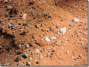
West Canyon Road Snow Canyon State Park Utah

Sand West Canyon Road Snow Canyon State Park UtahWe walked a couple miles, past two huge water tanks believed to be for the city of St. George because we saw a city truck on the gravel road.  Then stopped at a small building with power and a swamp cooler that might house a well pump.


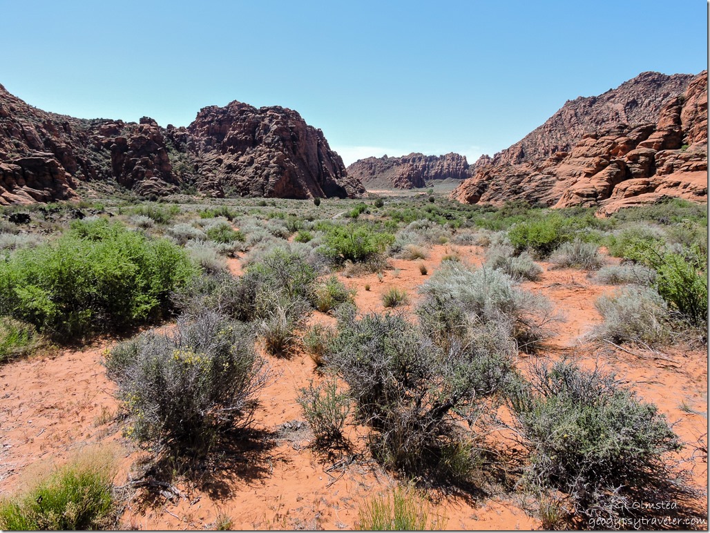
View South West Canyon Road Snow Canyon State Park Utah

Found some nearby shade and sat enjoying the view for a while before turning back.  A perfect morning hike with Sasha making friends along the way.

SR18 North St George Utah

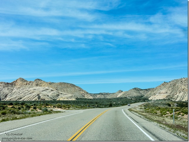
We went into town after our hike and had lunch at the Pizza Factory plus picked up groceries for dinner.  Then drove back in on UT18, a much prettier route without the walled subdivisions.

Visitor Center Snow Canyon State Park Utah

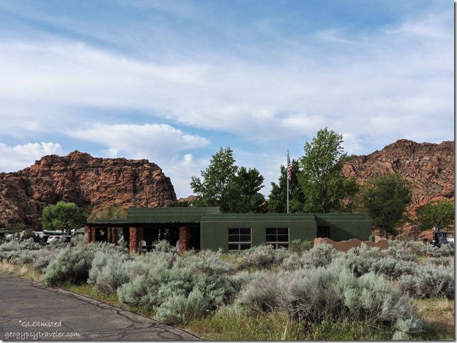
We returned to camp and went into the Visitor Center where I asked about their Junior Ranger program.  The first day when we checked in the volunteer lady was so nice.  The second day not so much when a different lady said their Junior Ranger program was ONLY for children.  So instead of adding a badge to my growing collection I settled with another hat pin for the curtain.
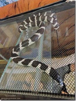
 Jake California Kingsnake Visitor Center Snow Canyon State Park UtahAlso met Jake the California kingsnake who was rescued after being hit by a car.
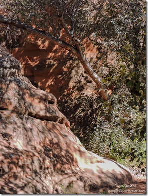


Rock face in camp shade Snow Canyon State Park UtahWe spent the rest of the afternoon in our shady alcove looking for faces in the rocks.  And the next day we took care of shopping chores in St. George before heading back home.

With so many more trails to explore Snow Canyon deserves many revisits.


West Canyon Road Snow Canyon State Park Utah

Nice to be able to visit this nearby park when the spring temperatures were perfect, high 70s and low 50s because summer will bring on the HOT of 100+.

Push my buttons!

  • Facebook
  • Twitter
  • LinkedIn

Like this:

Like Loading...
Utah camping, hiking, Snow Canyon State Park 25 Comments
14 March 2016

Camping by Kelso Dunes Mojave National Preserve

February 20 & 21, 2016

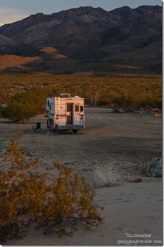
Truck camper Kelso Dunes Mojave National Preserve California


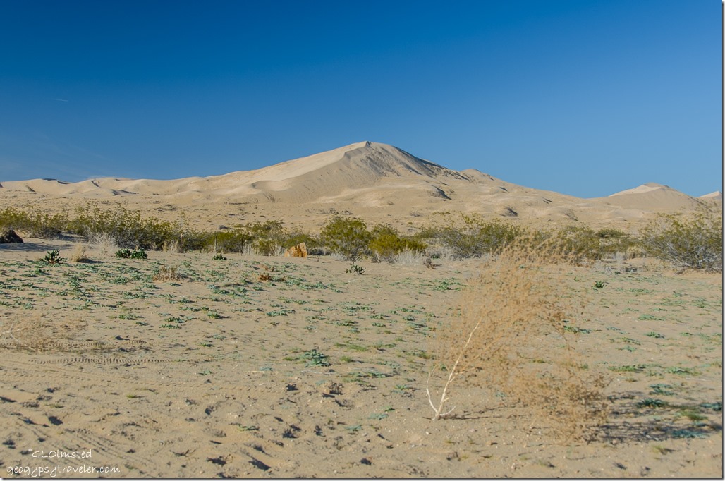
We thoroughly appreciated the uncrowded, free camping by Kelso Dunes in the quiet of Mojave National Preserve.  With just under 600,000 visitors last year this little known jewel should be visited before it starts to get crowded.


Kelso Dunes Mojave National Preserve CaliforniaBill and I enjoyed a brief time with late light and shadows on the Mesquite sand dunes in Death Valley.  We had also seen, or not seen, how blowing wind obscures the dunes, and just about everything else around.  So we were really looking forward to some time with the dunes but didn’t realize we could camp there.

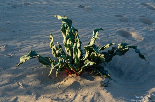
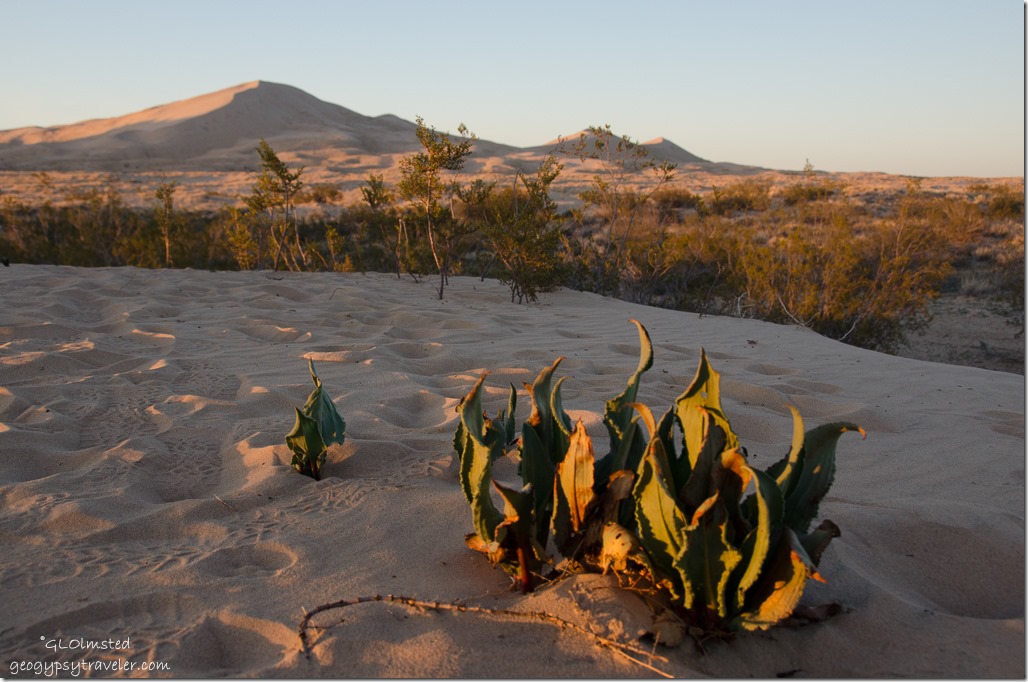
Unidentified plant Kelso Dunes Mojave National Preserve CaliforniaAlways ask the Ranger.  Which I forgot to do regarding this plant.
As soon as we walked into the visitor center a Ranger at a table with tortoise information asked immediately if we’d seen a tortoise.  No, and didn’t for the entire visit.  I wanted to see at least one, but not in the road, so can live with that.  Two more Rangers behind the desk were helpful, one seemed more seasoned, the other at his first park started in winter and was eagerly learning the newest blooms.  They gave us the skinny on free camping at the dunes where you’re suppose to park by a fire ring.

Moon over Providence Mountains Kelso Dunes Mojave National Preserve CaliforniaSo off we went.  Seven miles (11 km) south of Kelso Depot on the Kelbaker Road, then 3 miles (4.8 km) west on a graded dirt road, off to the right we saw the one big tree we’d been told to look for.


Says Phoebe Kelso Dunes Mojave National Preserve California


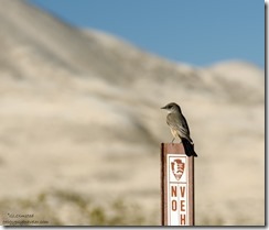
This Says Phoebe welcomed us to camp and perched on this sign in between bug catches.  One of the IDs I got the next day back at the visitor center.


Kelso Dunes from camp Mojave National Preserve California

Truck camper Kelso Dunes Mojave National Preserve CaliforniaPerfect camp view of the dunes.  And Mojave is dog friendly on leash.


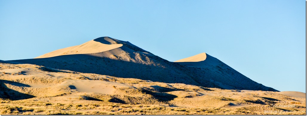
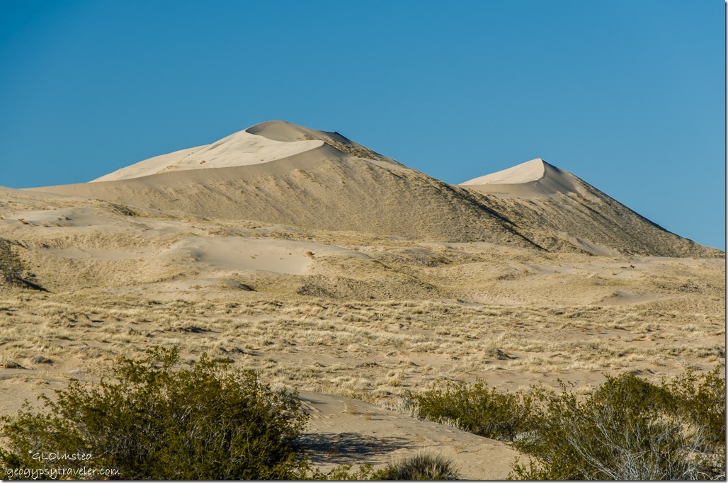
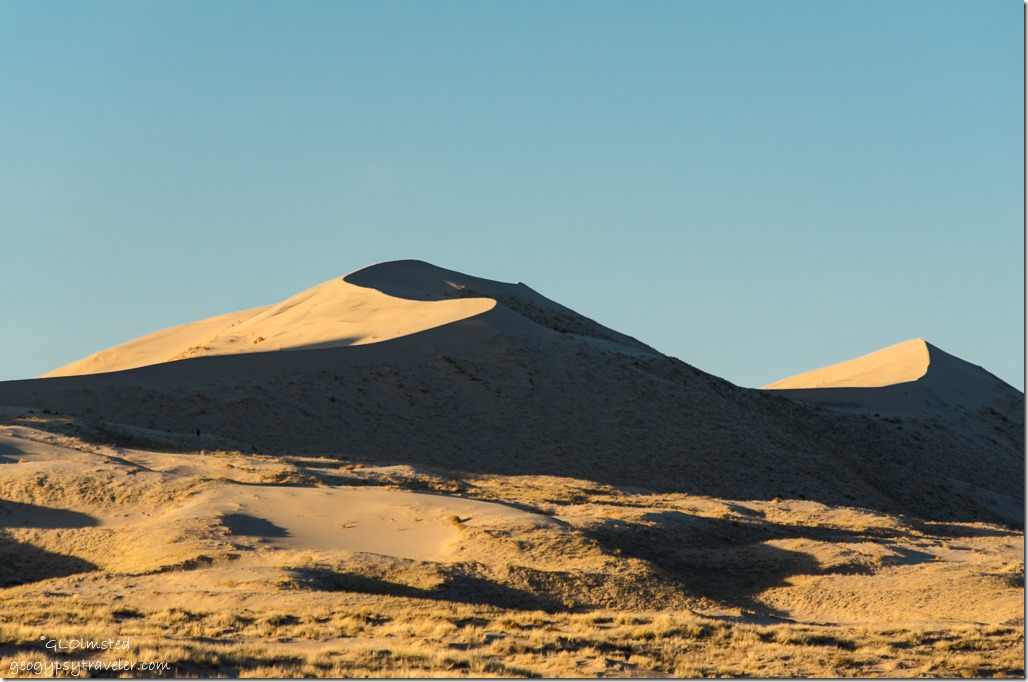
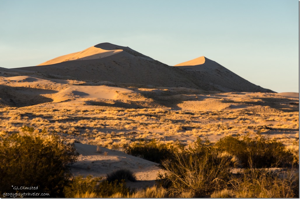
Kelso Dunes Mojave National Preserve CaliforniaNearly 700 feet high and covering a 45-square-mile area, the Kelso Dunes are among the tallest and most extensive dune fields in the United States.

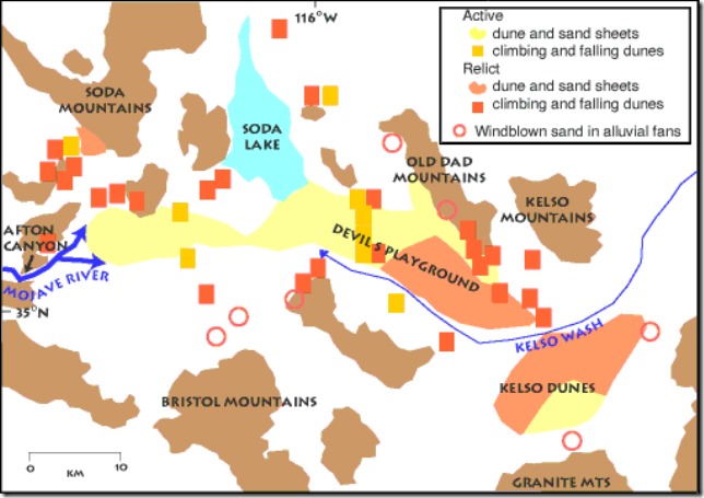
geo map MOJA & Kelso dunes

Huge amounts of sand were needed to build Kelso’s delicate wind-created sculptures, but geologists studying the Preserve discovered that no new sand is moving in to replenish the dunes.  By studying the mineral composition and shapes of sand grains they discovered that most of the sand has traveled all the way from the Mojave River sink east of Afton Canyon at least 30 miles (48 km) away.  Wind blowing from the northwest gradually carried the sand southeastward to the base of the Providence and Granite Mountains.  Where the sand piles up researchers found that the dunes are actually made up of several sets of dunes, stacked one on top of another. Each set formed in response to some past climate change during the last 25,000 years.

Kelso Dunes Mojave National Preserve CaliforniaOver the past few thousand years plants have progressively covered and stabilized areas once covered by drifting sand.  Yet a slightly drier climate may kill some of the vegetation holding the sand in place. Once the grasp of the plant roots is loosened, the sand is on the move again.

Kelso Dunes Mojave National Preserve CaliforniaAnd all it takes is a bit of breeze (10 miles/hour or 16 kilometers/hour) to put fine sand in motion.  The finest grains may be suspended in the air and carried along.  Heavier grains tend to bounce along as they are lifted into the air, fall back to the ground, then bounce back up again.  Once sand begins to pile up, ripples and dunes can form. Wind continues to move sand up to the top of the pile until the pile is so steep that it collapses under its own weight. The collapsing sand comes to rest when it reaches just the right steepness to keep the dune stable. This angle, usually about 30-34 °, is called the angle of repose.

Kelso Dunes Mojave National Preserve CaliforniaWe didn’t walk out into them but simply enjoyed watching the change in shadows as the sun sank lower towards the horizon.  Of course that means we didn’t hear them sing.  When quantities of the sands move, they sometimes produce a “booming” or “singing” sound when sand with the right moisture content slides down the steep slopes.

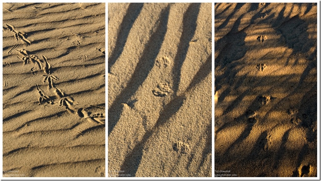
Tracks in sand Kelso Dunes Mojave National Preserve CaliforniaOK, I did walk a little ways to see the patterns in the sand and discovered some unknown tracks from those who’d gone before me.

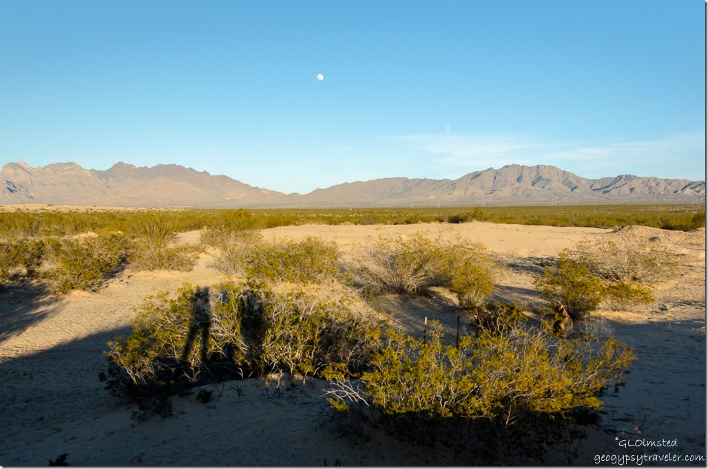
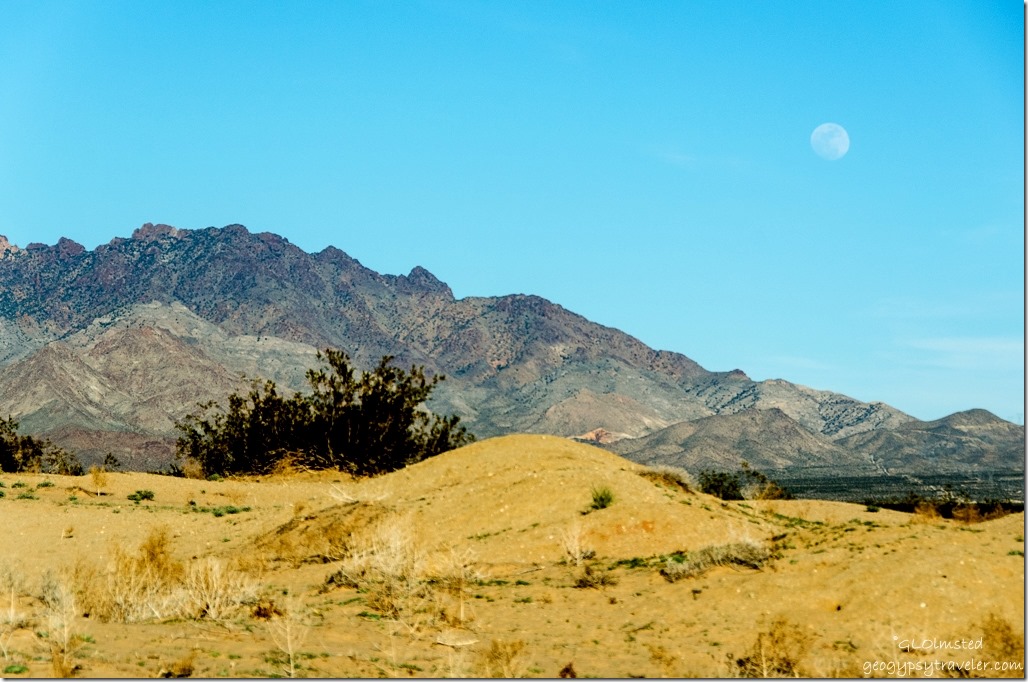
Moon over Providence Mountains Kelso Dunes Mojave National Preserve CaliforniaBonus was the rising moon over the Providence Mountains.  And I managed a shadow selfie of Bill, Sasha and myself.  Can you see us against the bushes?

Kelso Dunes Mojave National Preserve California

Sunset Kelso Dunes Mojave National Preserve California


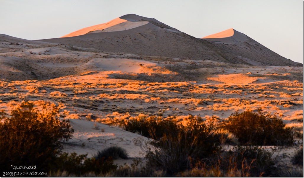
Plus the color of the sand changed as the sun set.  Unfortunately my camera wasn’t auto focusing and my manual focus skills are lacking so many shots are very fuzzy.


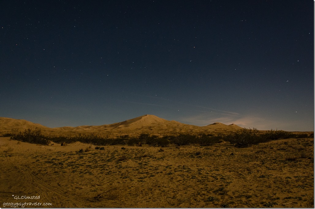
Stars Kelso Dunes Mojave National Preserve CaliforniaBut I was really happy with the night sky shots, maybe because I got the tripod out, with the moon highlighting the dunes.  Will have to try more of that when the temps stay up after dark.

Holes in rock Rings Loop Trail Hole in the Wall Mojave National Preserve California


There are several camping options in Mojave including the dunes, roadside boondocking and two developed campgrounds.  We decided to check out one of the later at Hole-in-the-Wall for our next night in the preserve.


Note: March 28 – April 28, 2016 Kelbaker Road closure from Baker to Kelso for planned road work.  Can enter 39 miles east on I 15 on the Cima Road instead.  2/22/16 – 3/3/16 the water system at Kelso will be shut down to replace waste system infrastructure.  Portable toilets are available; bottled water is available for purchase when the visitor center is open.  Check Mojave National Preserve website for current information.

Push my buttons!

  • Facebook
  • Twitter
  • LinkedIn

Like this:

Like Loading...
California, Mojave National Preserve, National Parks and Monuments camping, Kelso Dunes, sand dunes 22 Comments
18 November 2015

Camping along the Colorado River at Big Bend Beach

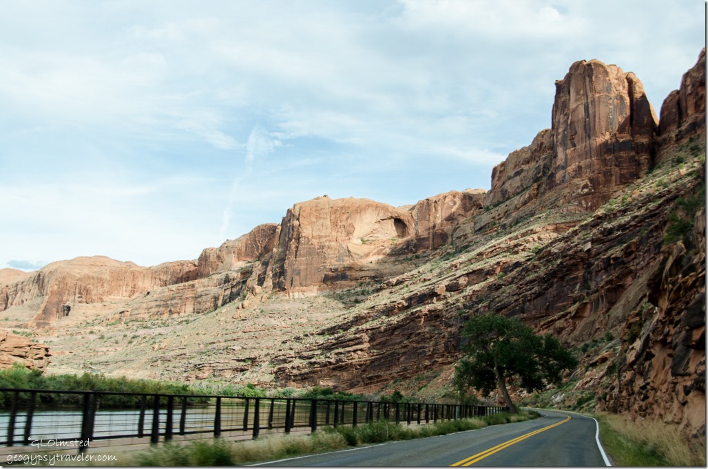
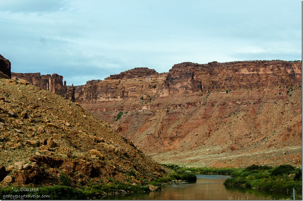
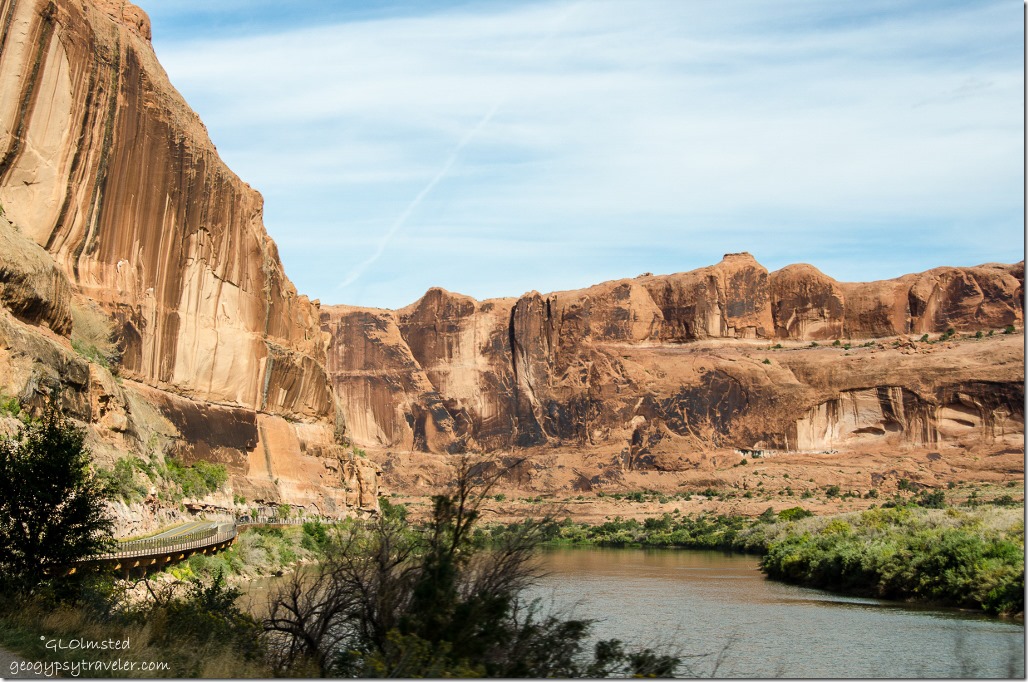
Colorado River UT128 Colorado Riverway Recreation Area UtahWe didn’t have much luck camping in national parks on this fall vacation and because Arches campground was full we went right outside the park to BLM (Bureau of Land Management) land and camped along the Colorado River at Big Bend Beach.

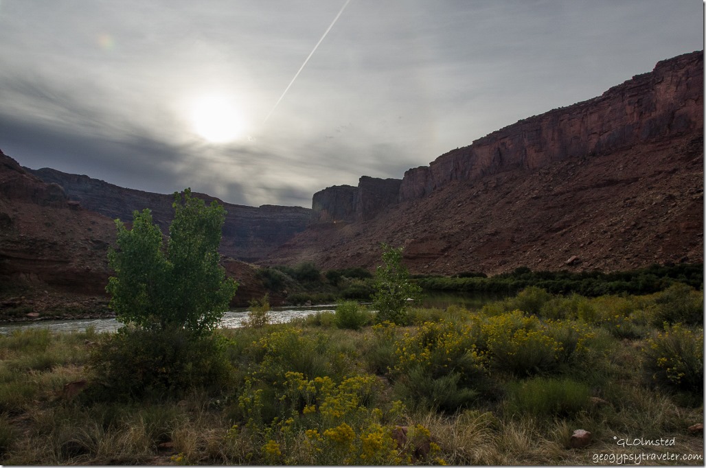
Colorado River UT128 Colorado Riverway Recreation Area UtahThere are seven campgrounds within 7.4 miles of US191.  Pulled into the first one and did the loop.  Full.  Second, third, fourth…you get the picture, all full.  Finally at the last one we got the last site.  And what a fantastic view of the Colorado River cutting through the towering sandstone bluffs.

Colorado River UT128 Colorado Riverway Recreation Area Big Bend Beach campground UtahSome of the sites look big enough for large RVs,  first come first serve, with picnic tables, drop-pit toilets and a few water spigots.  In fact BLM offers many “camps” along the Colorado Riverway further along UT128 30 miles to Dewey and on the southwest side of US191 on both sides of the river.  Paid half price with ‘Geezer’ card.

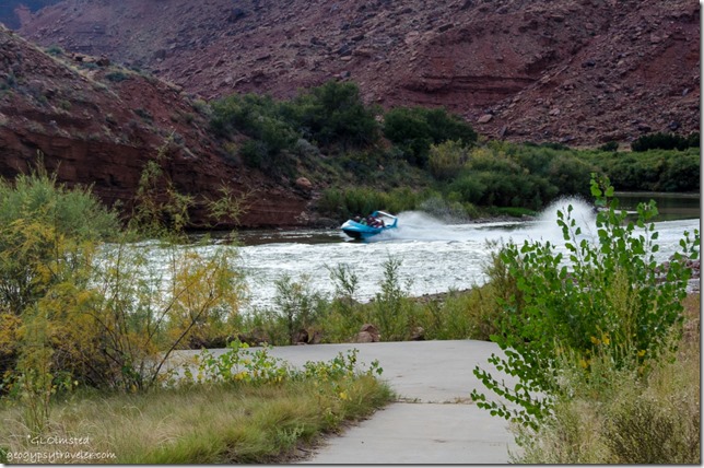
Boat on Colorado River Colorado Riverway Recreation Area Big Bend Beach campground UtahA loud noise caught my attention in this quiet landscape and a tour boat came whipping down stream full of smiling and screaming passengers.

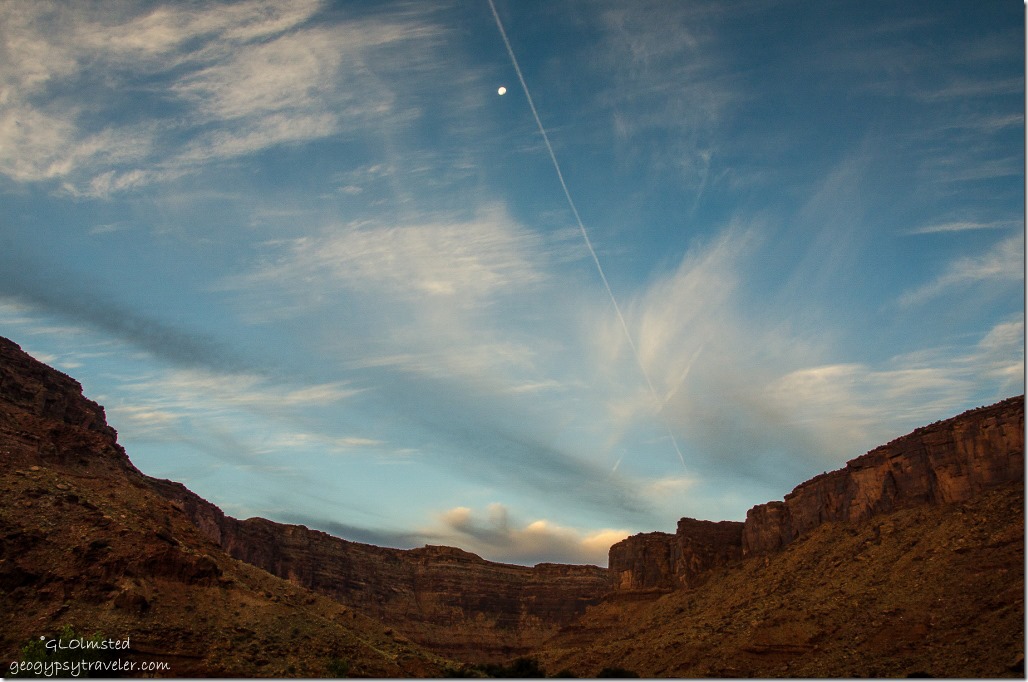
Morning light Colorado Riverway Recreation Area Big Bend Beach campground UtahWoke up to light slowly sliding down these steep canyon walls with the moon overhead.

Colorado River junction US191 and UT128 UtahPacked up camp, headed to US191 and turned north towards I70 where we’d go west to Green River on the way home to Kanab saying goodbye to the Colorado River.  We did take a long drive to Hanskville before crossing through Capitol Reef National Park on the way.  Our last day of vacation on the 1st of October.


Push my buttons!

  • Facebook
  • Twitter
  • LinkedIn

Like this:

Like Loading...
Utah Big Bend Beach, BLM, camping, Colorado River 17 Comments
← Older posts
Newer posts →

Hi, I’m Gaelyn, the Geogypsy

I retired after 29 summer seasons as a Park Ranger, traveling solo for 40+ years. My passions include travel, connecting to nature, photography, and sharing stories.

I started exploring US National Parks in 1977 and 20 years later became a seasonal Park Ranger.  I’ve lived full-time in a RV for 30 years working summers and playing winters.  I’m still trying to figure out what I want to be when I grow old, other than grow up.

Let’s share our stories.  Here’s more of mine…

My wheeleastate

I am currently…

…boondocking somewhere in southern Arizona.  In the area, give a shout.

Geogypsytraveler on YouTube

Follow my journey on YouTube. Just click the pic. Hope you’ll like, share, and subscribe.

Click image for 7 minute documentary (Password “geogypsy” lowercase)

Making the Gypsy documentary is a story of its own.  Click below for the rest of the story.

Living nomadically & connecting to nature documentary

Subscribe to Blog via Email

Enter your email address to subscribe to this blog and receive notifications of new posts by email.

Photos available for sale include prints, greeting cards, coffee mugs, tote bags, phone cases and more

Reflected Wave 24X16 metal print under $100

Custom Coffee Mugs

Many items to choose from including prints

The Last Blast 24 x 16″ metal print under $100

Need a signal boost? When I boondock on public lands sometimes signal is weak or intermittent and a booster helps. Click the pic to visit WeBoost.

Connecting to nature and the rest of the world too.

Please contact me for photo purchases not seen at GLOlmsted Photography

Order fulfillment is by Fine Art America. If you’re not happy with your purchase, for any reason, simply return it within 30 days, and you’ll receive a full refund of the purchase price.

Why read Geogypsy?

The gypsy life spring-summer 1998 - "You were a real pioneer. RV'ing before it was cool." ...Yogi

How do you process photos? - “Your photographs create an Emotional feeling in the viewer...that they become One with You.” …Cindy

Life’s transitions between travel and work play - "I know you love your job as much as you love travel -- it shines through all your posts." ...Sallie

Lions at Kruger National Park - “Wonderful post, thank you. I was hooked start to finish!” … Peter B

11 lessons looking back 2013 - “A great post -- made me think, made me smile, made me want to cry." ...Sallie

Wildlife video Kruger National Park - “Gorgeous, this makes me want to go straight to South Africa now.” … Ayngelina

Living nomadically & connecting to nature documentary - “What an experience you had and gave to the "crew." Sometimes I think you don't realize how unique and inspiring you are.” …Alan

Search

Popular Posts

1. Prioritize the well-being of nature over photography. 2. Educate yourself about the places you photograph. 3. Reflect on the possible impact of your actions. 4. Use discretion if sharing locations. 5. Know and follow rules and regulations. 6. Always follow Leave No Trace principles and strive to leave places better than you found them. 7. Actively promote and educate others about these principles

Categories

Archives

Sites I follow, read & recommend

  • A Full-time Life
  • A Yankee in Belgrade
  • Bob's Eyes
  • Box Canyon Blog
  • Camels and Chocolate
  • Dawns bloggy blog
  • In the Direction of Our Dreams
  • Jane in her infinite wisdom
  • Janie and Steve, Utah Trails
  • Kathie's Birds
  • Las Adventuras
  • Memorable Meanders
  • Oh, The Places They Go
  • On the Road Abode
  • Port Elizabeth Daily Photo
  • Stillhowlyntravels
  • Take to the Highway
  • Technomadia
  • the good luck Duck
  • Travel with the Bayfield Bunch
  • Wandering Earl
  • Wheeling It
  • Yogi's Den

Caught in a Slot 9×12 canvas print under $50

If you don’t like what’s going on in your government, contact your Congress

Directory of Senators

Directory of Representatives

Lijit

© Copyright 2008-2024. Geogypsytraveler.com
%d