• Home
  • About Geogypsy
    • Herstory
    • Parks where I’ve worked
  • Places I’ve been
    • United States
      • Arizona
        • Antelope Slot Canyon
        • Casa Grande Ruins National Monument
        • Colossal Cave Mountain Park
        • Flagstaff
        • Glen Canyon National Recreation Area
        • Grand Canyon National Park
          • Grand Canyon National Park North Rim
          • Grand Canyon National Park South Rim
          • Toroweap
        • Havasu Canyon
        • Horseshoe Bend
        • Jerome
        • Kaibab National Forest
        • Lee’s Ferry
        • Meteor Crater
        • Navajo Bridge
        • Oak Creek Canyon
        • Painted Desert
        • Pipe Springs National Monument
        • Prescott
        • Quartzsite
        • Saguaro National Park
        • Sedona
        • Sunset Crater Volcano National Monument
        • Vermilion Cliffs
        • Walnut Canyon National Monument
        • Wupatki National Monument
        • Yarnell
      • California
        • Anzaberrego
        • Bakersfield
        • Death Valley National Park
        • Joshua Tree National Park
        • Redwoods NP
        • Salton Sea
        • Yucca Valley
      • Colorado
        • Mesa Verde National Park
      • Florida
      • Illinois
        • IL River
        • Morton Arboretum
        • Starved Rock State Park
      • Michigan
      • Nevada
      • New Mexico
      • Oregon
        • Crater Lake NP
        • Mt Hood
        • Oregon Caves National Monument
      • Texas
        • Alpine Texas
        • Padre Island
        • Port Isabel
        • Rio Grande Valley
      • Utah
        • Brian’s Head
        • Bryce Canyon National Park
        • Buckskin Gulch
        • Cedar Breaks National Monument
        • Cedar City
        • Coral Pink Sand Dunes State Park
        • Dixie National Forest
        • Grand Staircase Escalante National Monument
        • Johnson Canyon
        • Kanab
    • World Travels
      • Germany
      • Mexico
      • South Africa
  • Tours
  • Photography
  • Work with Me
    • Sponsors
  • Contact
Geogypsy
Menu
  • Home
  • About Geogypsy
    • Herstory
    • Parks where I’ve worked
  • Places I’ve been
    • United States
      • Arizona
        • Antelope Slot Canyon
        • Casa Grande Ruins National Monument
        • Colossal Cave Mountain Park
        • Flagstaff
        • Glen Canyon National Recreation Area
        • Grand Canyon National Park
          • Grand Canyon National Park North Rim
          • Grand Canyon National Park South Rim
          • Toroweap
        • Havasu Canyon
        • Horseshoe Bend
        • Jerome
        • Kaibab National Forest
        • Lee’s Ferry
        • Meteor Crater
        • Navajo Bridge
        • Oak Creek Canyon
        • Painted Desert
        • Pipe Springs National Monument
        • Prescott
        • Quartzsite
        • Saguaro National Park
        • Sedona
        • Sunset Crater Volcano National Monument
        • Vermilion Cliffs
        • Walnut Canyon National Monument
        • Wupatki National Monument
        • Yarnell
      • California
        • Anzaberrego
        • Bakersfield
        • Death Valley National Park
        • Joshua Tree National Park
        • Redwoods NP
        • Salton Sea
        • Yucca Valley
      • Colorado
        • Mesa Verde National Park
      • Florida
      • Illinois
        • IL River
        • Morton Arboretum
        • Starved Rock State Park
      • Michigan
      • Nevada
      • New Mexico
      • Oregon
        • Crater Lake NP
        • Mt Hood
        • Oregon Caves National Monument
      • Texas
        • Alpine Texas
        • Padre Island
        • Port Isabel
        • Rio Grande Valley
      • Utah
        • Brian’s Head
        • Bryce Canyon National Park
        • Buckskin Gulch
        • Cedar Breaks National Monument
        • Cedar City
        • Coral Pink Sand Dunes State Park
        • Dixie National Forest
        • Grand Staircase Escalante National Monument
        • Johnson Canyon
        • Kanab
    • World Travels
      • Germany
      • Mexico
      • South Africa
  • Tours
  • Photography
  • Work with Me
    • Sponsors
  • Contact

Tag: camping

13 July 2022

Pack and go to Grand Canyon

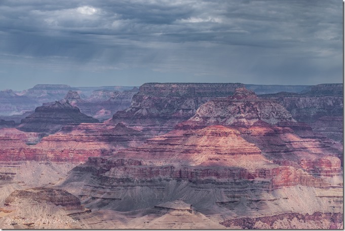
Vishnu Temple & Wotons Throne canyon clouds Lipan Point South Rim Grand Canyon National Park ArizonaFinally, I get to travel, so I packed the camper and left to go to Grand Canyon.  Boondocked on the Kaibab National Forest near Grandview Lookout Tower and explored the eastern end of the South Rim.  It’s a Grand adventure because I’m not all that familiar with this side of the big ditch.
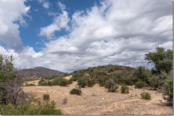
grass bush Brushy Mt clouds Skull Valley ArizonaI may not travel on holidays like 4th of July, but that doesn’t stop me from making a plan to go to Grand Canyon this month.  And I like to pack slowly so started off with filling water bottles and loading them into the truck.  Eight gallons will ride on the passenger seat floor and five more inside the camper.  That’s over a week’s worth of water and I can refill in the park.
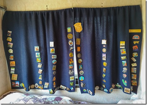
hat pins on curtain in camperAnother project was to move my hatpin collection from one curtain to another…
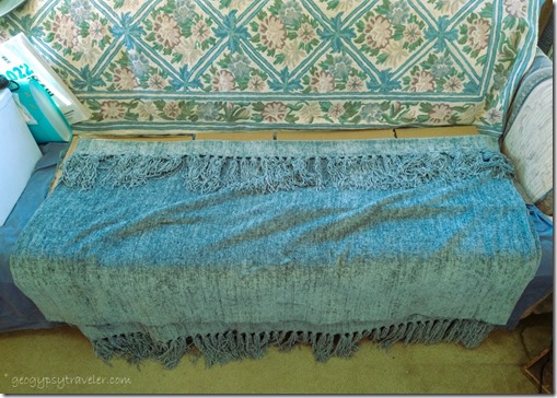
new curtains…because, I made a new curtain for the camper.  Bought a Pier One lap-blanket at a thrift store that is just the right green (unlike the photo) and size when cut in half.  I don’t sew but a glue gun worked just fine to hold a casing and hem.  Three “C” hooks reinforce the tension rod.  I’m happy with how it turned out.  Nice and heavy to keep out the winter cold and bright morning light.  I know, it’s summer.  But the job had to be done.
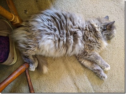
Sierra cat Skull Valley ArizonaIn order to go to the Grand Canyon I needed to create and schedule blog posts and videos.  So I spent more than a day at the computer with my assistant staying close by.  She seems to know we’re going to travel.  I packed a few more things but really had to wait until morning for most of the food stuff.

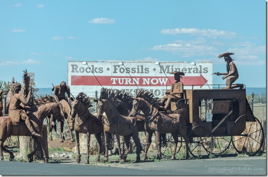
metal sculptures Valle ArizonaSeen in Valle

Finished packing and hit the road Thursday morning about nine.  Shopping and diesel fuel at $5.53/gallon on the way.  I really wasn’t rushing as I didn’t want to arrive at the park entrance during the busiest time mid-day.
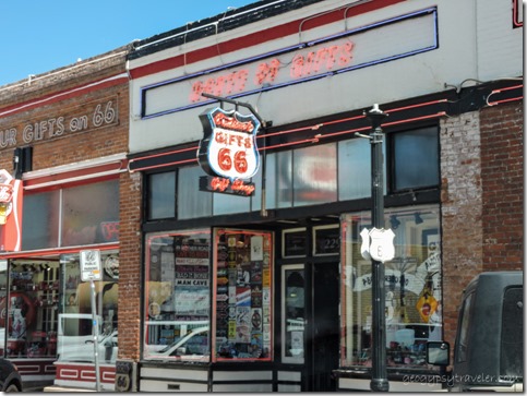
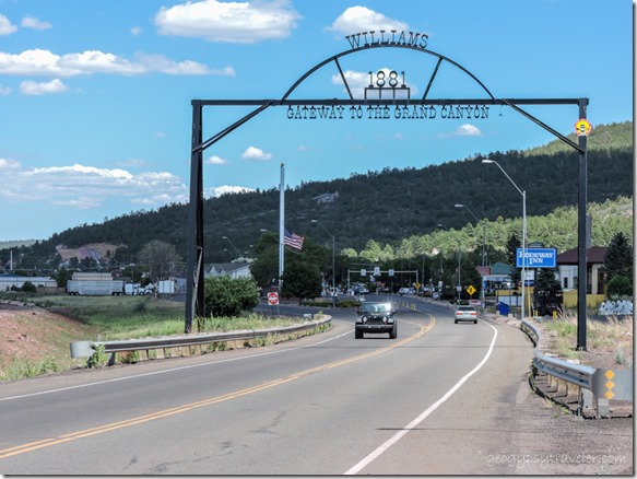
arch Gateway to Grand Canyon Williams Arizona

RT66 store Williams ArizonaDrove through historic Williams then headed north on SR64.  Took video almost the whole way and will create a Rambling Road Trip for my YouTube channel.

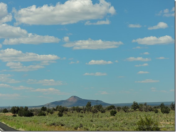
Red Butte SR64 North ArizonaRed Butte

Pulled up to the park entrance at 4pm and after three rigs in front of me I was ready to go to Grand Canyon, but not the main Village area.  Instead I headed east towards Desert View Watchtower.
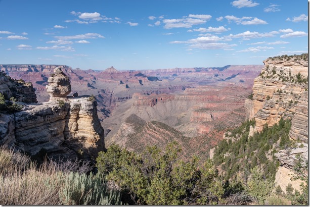
canyon Duck on a Rock overlook South Rim Grand Canyon National Park ArizonaMy first stop to actually see the canyon, Duck on a rock, is just wide parking along the north side of the road.
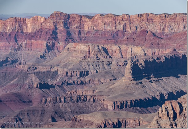
canyon Grandview Point South Rim Grand Canyon National Park ArizonaI also stopped at Grandview Point but didn’t stay long as I wanted to find a boondock camp for the night.

About one mile out of the park on a rather rutted gravel road I entered the Kaibab National Forest, parked at the first obvious camp, and made a 360° video.  I knew this wasn’t going to be a private site so wasn’t surprised when a motorhome arrived and parked nearby.  Sadly, this German family had three tiny yet noisy children.  Thankfully, they pulled out in the morning.
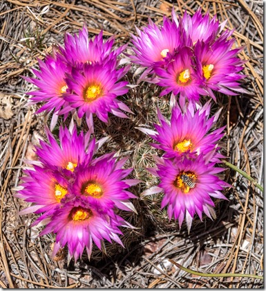
pink Pincushion cactus flowers bee Kaibab National Forest ArizonaAfter a late breakfast, I walked the road about 3/4 mile to Grandview Lookout Tower.  Along the way I saw several other nice campsites and thought I would choose one another day.  Bright pink cactus flowers beckoned me into the forest and a cell tower was a total surprise.  No wonder I had a decent signal in camp.
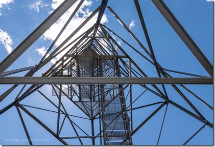
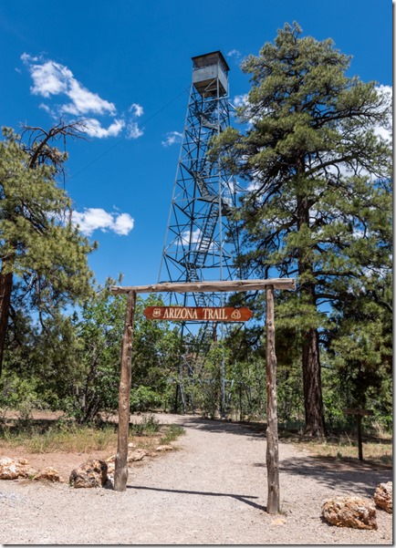
Grandview lookout tower Kaibab National Forest Arizona

looking up tower Kaibab National Forest ArizonaAs I approached the parking below the fire tower, four side-by-sides on tour roared up.  Some of the group climbed and others did not.  They didn’t stay long and I had the place to myself.
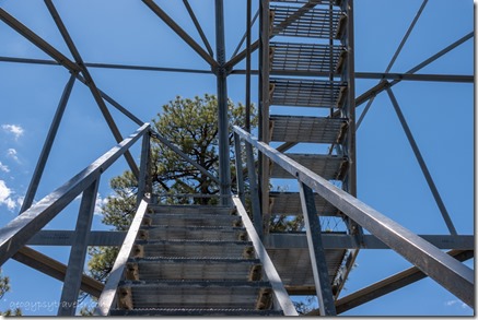
up stairs Grandview Lookout Tower Kaibab National Forest ArizonaSo I climbed, the first set of stairs.  Even though I am not afraid of heights it’s a little disconcerting to look down through a gridded step.  I tried mostly to look straight ahead.
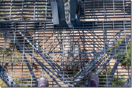
looking down thru Grandview lookout tower Kaibab National Forest ArizonaI stopped at the first landing, fascinated by the lines and patterns of the structure.  Then I climbed the second set of stairs.
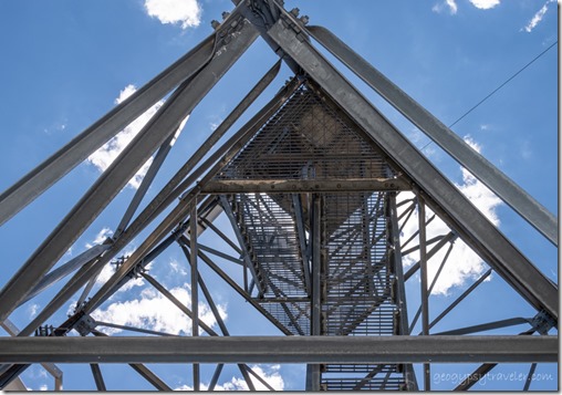
looking up Grandview lookout tower Kaibab National Forest ArizonaBuilt by the Civilian Conservation Corps in 1936, the steel Grandview tower is 80 feet tall with a 7×7 foot cab on top that wasn’t currently staffed so I couldn’t get inside.  Yet I decided to climb the third set of steps to get a view above the trees.
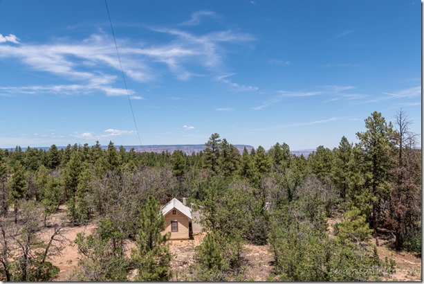
view North from tower Kaibab National Forest ArizonaThe two-room cabin accommodates the fire lookout person.
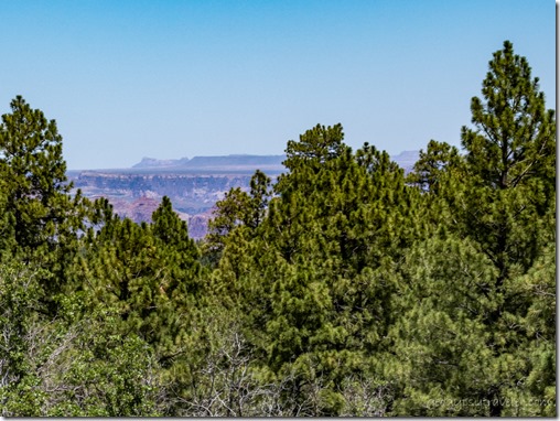
canyon view N from tower Kaibab National Forest Arizona

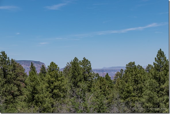
canyon view North from tower Kaibab National Forest ArizonaI could barely see the Walhalla Plateau on the North Rim to the left and that’s Echo Cliff between the trees on the right.  At 40 feet up I could tell this wasn’t going to be an exemplary place to shoot the upcoming full moon, even with clear skies.  So that was far enough for me.
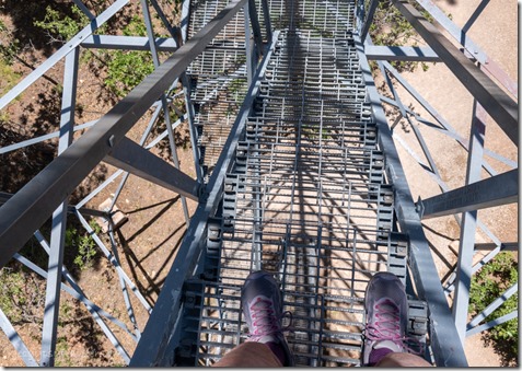
going down Grandview lookout tower Kaibab National Forest ArizonaI took a bunch of video but had to hold both rails on the way down.  Maybe I’d come back if I moved camp closer for a chance at sunset, if not the moon.
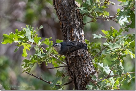
Nuthatch bird Kaibab National Forest ArizonaNuthatch

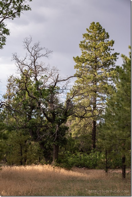
grass trees Kaibab National Forest ArizonaThe next day after choosing photos to process from the tower, I spent most of the day sitting outside, watching birds, breathing deep the rich smell of a Ponderosa Pine forest, and even a short walk about camp.  A new neighbor came over and we chatted for a while.
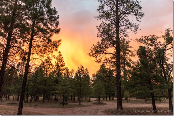
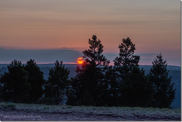
trees sunset from camp Kaibab National Forest ArizonaThe evening ended under an orange glow.

A partly cloudy morning called me to get out and go to Grand Canyon.  So I slowly bounced my way out of the National Forest and back to pavement.  I drove east thinking I’d be at the Desert View Watchtower for sunset.  But there were several overlooks to explore along the way.
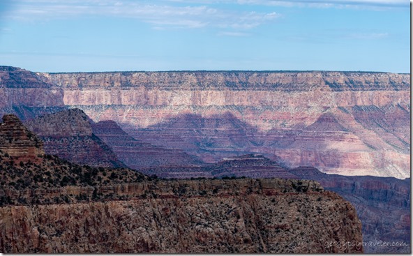
light & shadow canyon Colorado River Moran Point South Rim Grand Canyon National Park Arizona

light & shadow canyon walls Moran Point South Rim Grand Canyon National Park ArizonaMoran Point, named for famous artist Thomas Moran who joined John Wesley Powell in 1873 on an expedition to go to Grand Canyon.  He later used sketches and photographs to paint the 7×12 foot “Chasm of the Colorado” that hangs in Congress to this day.  Sadly, his depiction is not an actual location but a composite of imagination.
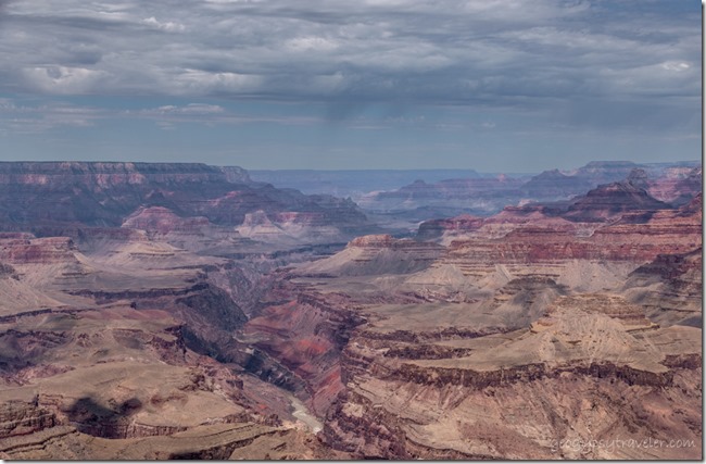
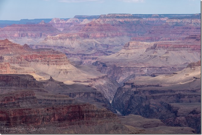
view West canyon river clouds Lipan Point South Rim Grand Canyon National Park ArizonaNext stop Lipan Point offering some of the most expansive views with the longest perspective of the Colorado River.  To the west can be seen the oldest rock, 1.75 billion years, carved by the river within the inner gorge.
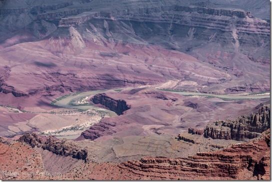
Colorado River Unkar Delta shadows Lipan Point South Rim Grand Canyon National Park ArizonaBelow, the “S” curves of the Colorado carve through the rare red tilted layers of the 1255-1100 million years old Supergroup.  The lower left sandbar, called Unkar Delta, is where ancient Puebloan people lived and grew crops between 850 to 1200AD.
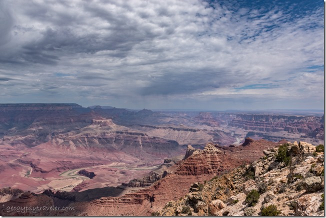
view East & Northeast canyon river clouds Lipan Point South Rim Grand Canyon National Park ArizonaLooking upstream the river appears around a bend coming from the north, and the Marble Plateau can be seen with Echo Cliffs on the eastern horizon.
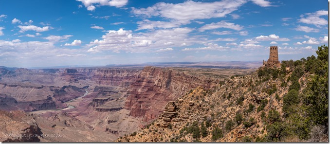
canyon Colorado River clouds Desert View Watchtower South Rim Grand Canyon National Park ArizonaI next stopped at Navajo Point mostly for the exceptional view of the stone built Desert View Watchtower, where I planned to be for sunset.

It was hot that afternoon so I found a shady place to park in the oversized vehicle lot for the tower and after a reconnaissance walk to the rim returned to the camper for a nap followed by dinner.
canyon river sunrays clouds Desert View South Rim Grand Canyon National Park Arizona

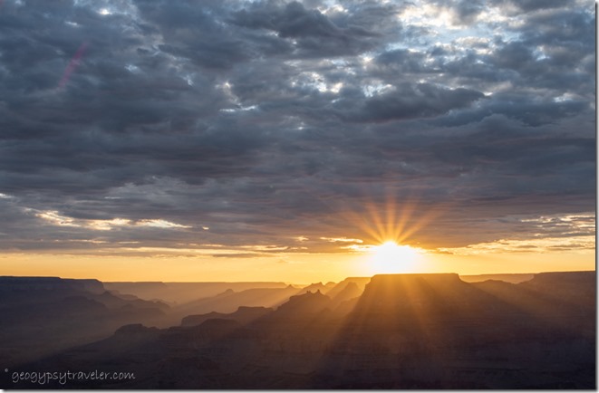
sunset rays clouds temples Desert View South Rim Grand Canyon National Park Arizona

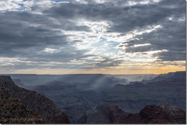
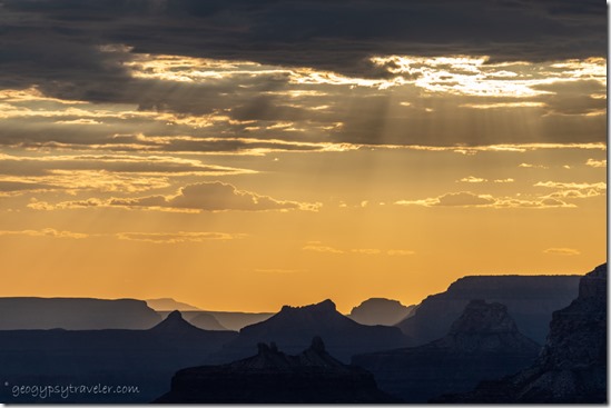
canyon sunburst sunset clouds Desert View South Rim Grand Canyon National Park ArizonaSunset was Grand, and lasted for about an hour as I stood in awe watching rays beam down highlighting the temples and topography.

Sadly, the first-come first-serve Desert View campground had been full at noon.  I really didn’t want to drive back into the forest after dark.  So, I opted to stay put and figured if anybody came by to kick me out I’d tell them I wasn’t camping but was hoping the clouds would clear so I could photograph the night sky, and then be there for sunrise.  All good reasons to go to Grand Canyon.

Push my buttons!

  • Click to share on Facebook (Opens in new window) Facebook
  • Click to share on X (Opens in new window) X
  • Click to share on LinkedIn (Opens in new window) LinkedIn

Like this:

Like Loading...
Arizona, Grand Canyon National Park South Rim, Places I've been, United States boondocking, camping, photography, RV, sunset, travel, video 31 Comments
18 January 2022

Walk, talk, read, and write while camping near Kofa

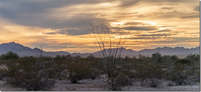
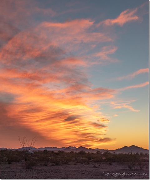
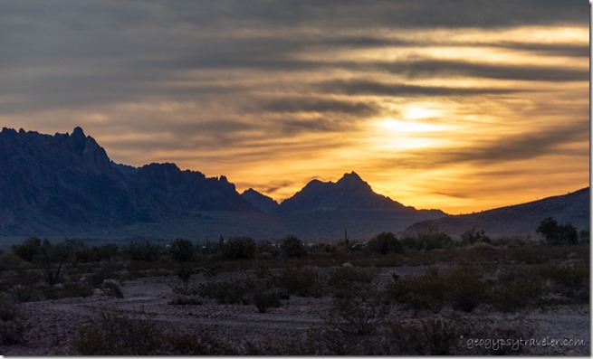
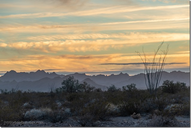
desert Chocolate Mts sunset clouds BLM Palm Canyon Rd Kofa National Wildlife Refuge ArizonaThe temperatures and clouds have been ideal for camping near Kofa.  I walk, read, and write under the most beautiful of light.  Of course, I’m taking photos.  Plus I’ve been fortunate enough to engage in several conversations, talk and type.

I am not more than 100 feet from the Palm Canyon Road and camping near Kofa National Wildlife Refuge on BLM (Bureau of Land Management) public lands.  Yes, there’s some traffic but it’s not rush hour.  It’s lovely and would only be better if I could have Shared the Kofa Light with others on my first scheduled Geogypsy Journey.  Maybe next month.

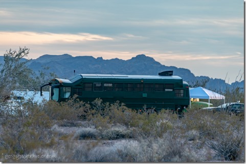
bus conversion BLM Palm Canyon Rd Kofa National Wildlife Refuge ArizonaAfter the van/bus/RV gathering began to break up, the desert went back to its quiet nature.  The bandwidth also increased but I never expect that to last.  Every day more folks pulled out, some returned, a few buses stayed.  Thought this one was rather unique.  I even had a van neighbor within sight on my “road” for a couple days.

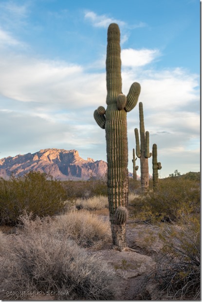
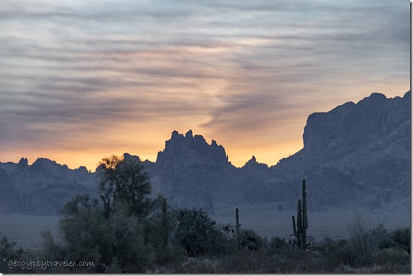
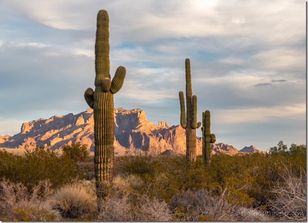
Saguaro cactus desert Kofa Mts clouds last light BLM Palm Canyon Rd Kofa National Wildlife Refuge ArizonaYet none of that really changes my daily routine while camping near Kofa.  If the wind hasn’t made it too chilly I try to get out for at least a short walk.  You know I’m not working on miles or steps at my sauntering pace.  Instead I meander between the vegetation avoiding the prickliest taking photos of the landscape.  The land is braided with small washes to cross (and look for pretty rocks), dry now but there’s plenty of evidence that water sometimes flows.  Debris caught against bushes and larger rock versus small pebbles tells that story.  Happens when I’m not here.

Saguaro sunset clouds BLM Palm Canyon Rd Kofa National Wildlife Refuge Arizona

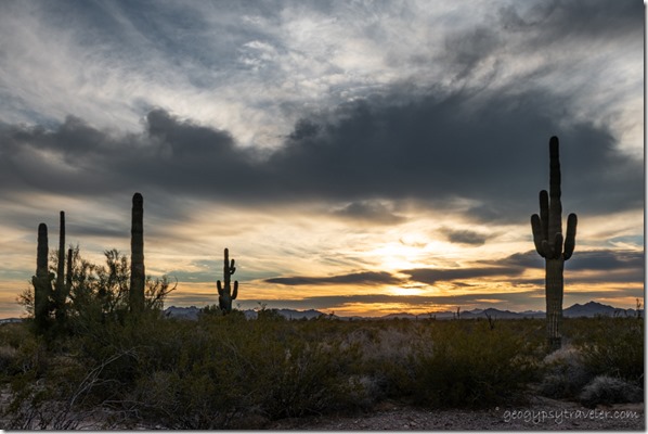
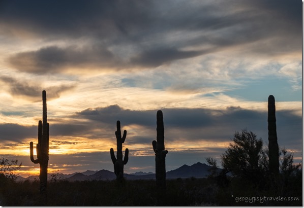
Saguaro sunset clouds BLM Palm Canyon Rd Kofa National Wildlife Refuge ArizonaI often walk in the late afternoon anticipating the golden hour light and sunset.

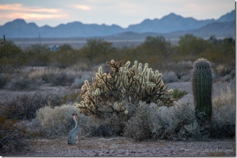
Jackrabbit Cholla Saguaro cactus Chocolate Mts sunset clouds BLM Palm Canyon Rd Kofa National Wildlife Refuge ArizonaStartled a Jackrabbit on the way back to camp.  They run and freeze, blending into the dusky landscape.

Sierra cat gives me the tap BLM Palm Canyon Rd Kofa National Wildlife Refuge ArizonaI also try to spend time every day writing, with help from my assistant.  I’m working on 1000 words a day.  Always journaling (200-400 words/day), often blog post writing (500-1200 finished post), and remember I’m working on a book, sometimes.  Though I will admit the last doesn’t happen daily but in spurts.  I am easily distracted when camping near Kofa.

Kofa Mts sunrise clouds BLM Palm Canyon Rd Kofa National Wildlife Refuge ArizonaEspecially when there’s colorful sunrises unique to every day.  I am glad first light respects a decent hour during the winter while camping near Kofa.  Although there’s still a chill in the air it’s worth adding another layer and making coffee wait just a little longer.  It’s rather sad that I’m in such a beautiful place and I don’t go anywhere else but instead sit day after day at the same place.  I am happy not to have to move for two weeks. And that’s not really very long in the whole scheme of life.  Yet it’s one of the reasons I miss Joann as a neighbor as she gets me out and is willing to drive as well. Not to mention some very interesting conversation.  So I am glad there’s enough signal for us to chat online, each from our remote desert locations.  Enjoyed an extended phone call from a California cousin.  Even a windy day that pretty much keeps me inside turns out good.

desert sunset clouds BLM Palm Canyon Rd Kofa National Wildlife Refuge ArizonaAnd the sunsets caused me to at least get in and out the door, carefully down and up the step, several times.

desert Kofa Mts sunrise clouds BLM Palm Canyon Rd Kofa National Wildlife Refuge ArizonaAnother nice sunrise.

desert rd mt clouds BLM Palm Canyon Rd Kofa National Wildlife Refuge ArizonaThen later with no wind I walked under cloudy skies but the light was dull so I focused more on close things.

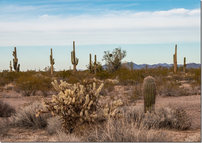
cactus desert clouds BLM Palm Canyon Rd Kofa National Wildlife Refuge ArizonaThe Saguaro cactus is a known icon of the Sonoran Desert along with numerous kinds of Cholla cactus with spines that seem to glow under almost any light.

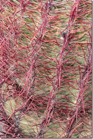
barrel cactus BLM Palm Canyon Rd Kofa National Wildlife Refuge ArizonaBut also give wide birth to the red and yellow spines of the Barrel cactus providing an occasional break in color from the olive-green creosote that is everywhere.

Palo Verde bark BLM Palm Canyon Rd Kofa National Wildlife Refuge Arizona

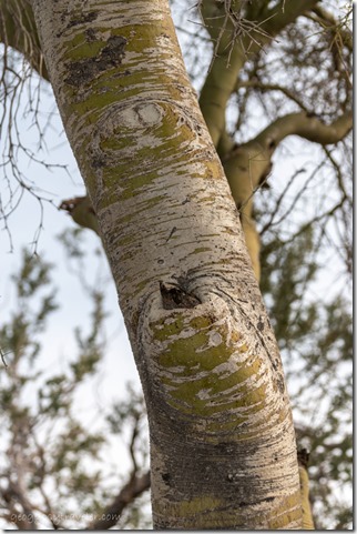
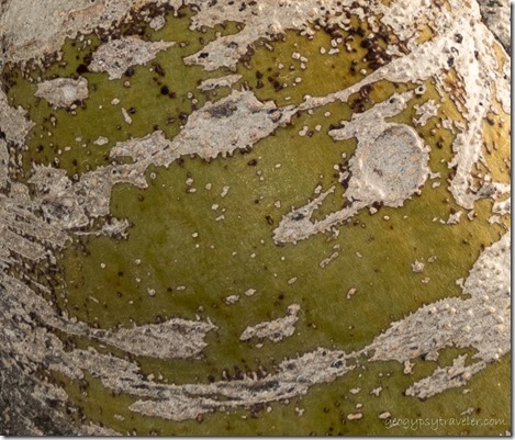
Palo Verde bark BLM Palm Canyon Rd Kofa National Wildlife Refuge ArizonaI am always drawn to the shape and color of Palo Verde trees.  Their unusual green trunk and branches with scaly bark perform photosynthesis.  I find all this and more camping near Kofa.

desert Chocolate Mts sunset clouds BLM Palm Canyon Rd Kofa National Wildlife Refuge Arizona

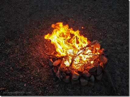
campfire BLM Palm Canyon Rd Kofa National Wildlife Refuge ArizonaAs the wind stayed down I watched sunset over a small campfire.  Then the temperature dropped and it was back inside for the night.

desert Kofa Mts clouds sundog BLM Palm Canyon Rd Kofa National Wildlife Refuge ArizonaAlthough I didn’t get up for all the pretty sunrises hardly a day goes by when I don’t take a photo of something, usually with the big camera but the phone will do in a pinch.  And even though warm enough for the door open by 11am, I saw a tiny sundog which says the upper atmosphere holds ice.

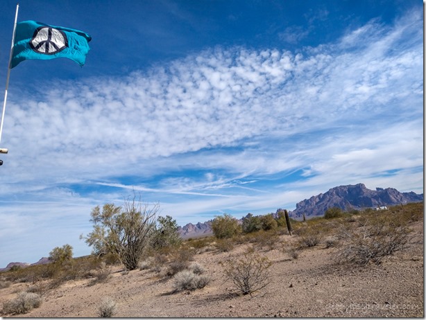
flag desert Kofa Mts BLM Palm Canyon Rd Kofa National Wildlife Refuge ArizonaThe calm 70° day was simply made for sitting outside reading in the desert apricity.

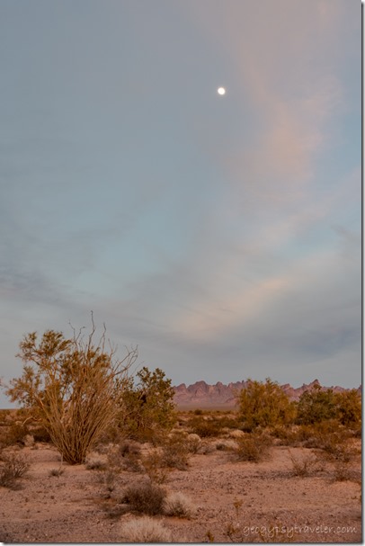
desert Kofa Mts reverse sunset clouds moon BLM Palm Canyon Rd Kofa National Wildlife Refuge ArizonaI would have been very busy had anybody signed up for my first Geogypsy Journey: Sharing the Kofa Light.  Lesson learned, don’t compete with anything January in Quartzsite and advertise further ahead.  An amazingly beautiful day would have welcomed anybody camping near Kofa, clouds put on a show for days, and the moon…  I did my usual, enjoy the view and spend some time outside photographing and reading.

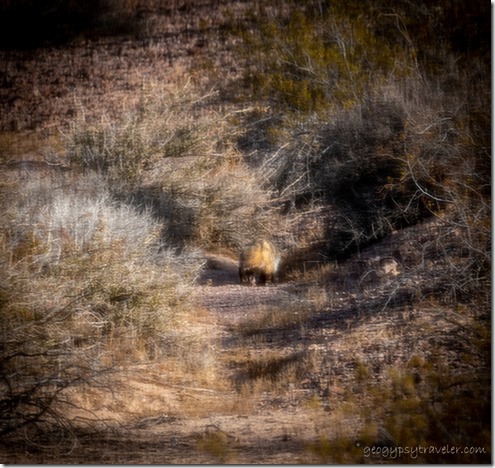
possible Badger through screen window BLM Palm Canyon Rd Kofa National Wildlife Refuge ArizonaAt one point motion caught my eye and I saw an animal about the size of an over large ciabatta loaf hustling along.  The one photo I took was through a window screen and then it was gone.  I wracked my brain for a bit thinking, it had to be a badger.  Only the second time I’ve seen one in the wild—first at Bryce Canyon—and never in the desert.  Many desert mammals lean toward nocturnal lives to avoid daytime heat.

desert Chocolate Mts sunset clouds BLM Palm Canyon Rd Kofa National Wildlife Refuge Arizona

desert Chocolate Mts sunset clouds BLM Palm Canyon Rd Kofa National Wildlife Refuge ArizonaAnd of course more sunset.

red Ocotillo flower BLM Palm Canyon Rd Kofa National Wildlife Refuge ArizonaI do see birds when camping at Kofa, yet not plentiful, and way too fast for my camera.  I hear Ravens and Phainopeplas.  A hummingbird approached a red light cover above the door on the camper before flying off to the one surviving cluster of Ocotillo flowers they prefer.  Guess I could put up my window feeder for hummingbirds.  Gypsy brought a high school friend to visit, along with zucchini bread, and of course I took no photos.  I am terrible about people pictures.

Saguaro desert Kofa Mts last light clouds BLM Palm Canyon Rd Kofa National Wildlife Refuge ArizonaAs I worked on this post over the weekend, I got carried away with a ramble about conversations, real time, online, and anytime.  So I posted it separately from here.  BTW, thanks for all the comments.  As Jodee said, I hit a nerve.  No surprise that many of you of similar age identified with my jaunt down memory lane.  And although some would also like more comments on their blog posts, many of you made a good point about too many comments, especially as I answer them all, working on the conversation.  If everybody that read a post, commented on the post, I’d spend all my time responding to comments instead of walking, talking, writing, and reading while camping near Kofa.

Push my buttons!

  • Click to share on Facebook (Opens in new window) Facebook
  • Click to share on X (Opens in new window) X
  • Click to share on LinkedIn (Opens in new window) LinkedIn

Like this:

Like Loading...
Arizona, Geogypsy Journey, Kofa NWR, Places I've been, RV life, United States camping, photography, Sonoran Desert, sunrise, sunset 15 Comments
21 July 2021

Monsoon rains visit the Southwest

It started a little over a week ago at Bryce Canyon with a tease, some dark clouds and just a few drops but within a few days monsoon rains began to fall and it almost felt like the right pattern, rain between 11am and 11pm coming and going often with a little sunshine in between.  I could almost feel my dry skin begin to plump.  Of course anything over 30% humidity feels sticky in the Southwest.  Visitors from the East still suffer from dry cracking lips as they relish the lack of humidity at 80-90°.  It’s a dry heat you know.

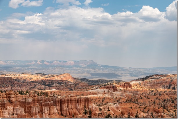
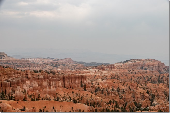
hoodoos valley Aquarius Plateau haze clouds Bryce Canyon National Park UtahAfter a couple rather lazy days off I returned to work on an extremely quiet Saturday to an hour at the information desk then presented the 11 am Hoodoo geology talk by Sunset Point overlook.  After lunch I roved the rim for about three hours chasing patches of shade with temps in the low 90s.  Came home beat and exhausted so took a two hour nap, woke at ten and went right back to bed sleeping round the clock.  Stomach was upset so didn’t even eat dinner.

trees last light Pink Cliffs Aquarius Plateau sunset clouds Bryce Canyon National Park UtahSunset

Sunday I didn’t start work until 12:15 and breakfast was comfort food, cinnamon toast and bacon.

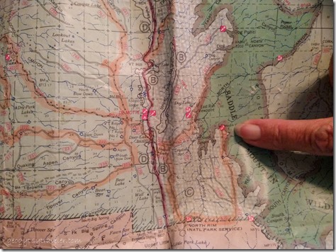
pointing to Marble View on mapKnowing I worked only two more days followed by four days off I started to formulate a plan to camp on the Kaibab Plateau in the national forest north of the North Rim Grand Canyon.  The Kaibab National Forest had been closed to recreation for a couple weeks then monsoon rains began and it reopened, but still no campfires.  That’s fine by me.  Destination, Marble View, only 14 miles from pavement on usually decent gravel road, a favorite place to camp, and hopefully watch monsoon rains.  Sent a message to a friend who lives in the triple-digit heat of St. George inviting her to join me and received an immediate YES.  I felt my mood lighten as I made it through the day with two shifts at the information desk and my 9pm evening program about Wildlife at Bryce, a rather large group with several precocious children asking endless questions.  Went home a good kind of tired.
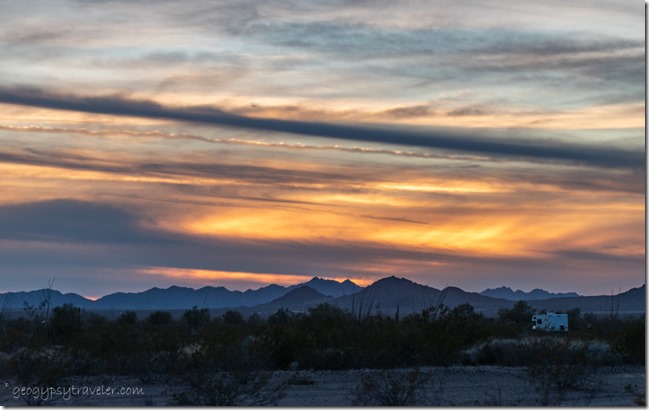
hoodoos haze Bryce Canyon National Park UtahCompare to first shot

The next day after two hours at the information desk followed by a bit of time checking deleting emails, I presented the 2pm Hoodoo geology talk and roved 2 1/2 hours along the rim at 88° mostly talking about the smoky haze, so thick could barely see the Aquarius Plateau 14 miles east.  Hard to say where from with so many fires burning in the west.  I was fried and left two hours early, sick leave.  (Remember, I’m burning up hours so any opportunity without messing up anybody’s schedule I take sick leave.)  Clouds all day teased monsoon rains that didn’t fall until early evening and then only briefly.  It was an early to bed night for an early next day.

new fence Yovimpa Point trail Bryce Canyon National Park UtahNew fence because cement isn’t enough to keep people on the trail to Yovimpa Point

And that was Tuesday, my one day early Friday, before a four-day weekend away.  I opened the visitor center wondering if 70% chance of monsoon rains would stop my day at Yovimpa Point, a favorite place to be.  But the rain held off with only a handful of drops and I wore a light jacket until well after noon at the southern end of the plateau and 9100 feet.  Lots of mini geology and fire ecology talks. The smoky haze obscured Navajo Mountain 90 miles to the southeast and almost erased the North Kaibab 100 miles south where I hoped it wouldn’t be smoky the next day.  I took off about an hour early to pack the camper and later a lovely light rain fell, perfect and pleasing with faint thunder in the distance.

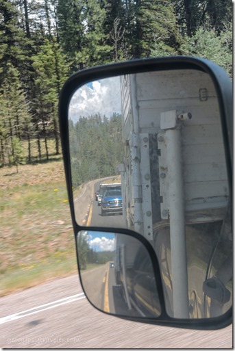
side mirror view Lynda SR67 South Kaibab National Forest ArizonaFinally, Wednesday morning I finished the last minute packing and left about 9:30.  An hour and a half later I was buying grocery treats in Kanab and met several friends for lunch at my favorite Escobars Mexican Restaurant.  Then Lynda and I caravanned up onto the Kaibab with an important stop at Jacob Lake Inn for cookies.  One more stop on the way to camp at the North Rim Country Store where I hoped to see Grand Canyon friend Robert who now works there but it was his afternoon off.

trees clouds FR610 Kaibab National Forest ArizonaForest Road 610

trees clouds FR219 Kaibab National Forest ArizonaForest Road 219

Marble View FR219 Kaibab National Forest ArizonaTo Marble View

Finally, after an hour drive on the rather rough gravel we pulled into Marble View about 4pm.  Hadn’t seen another vehicle on the drive and had the place to ourselves.  Yippee!!

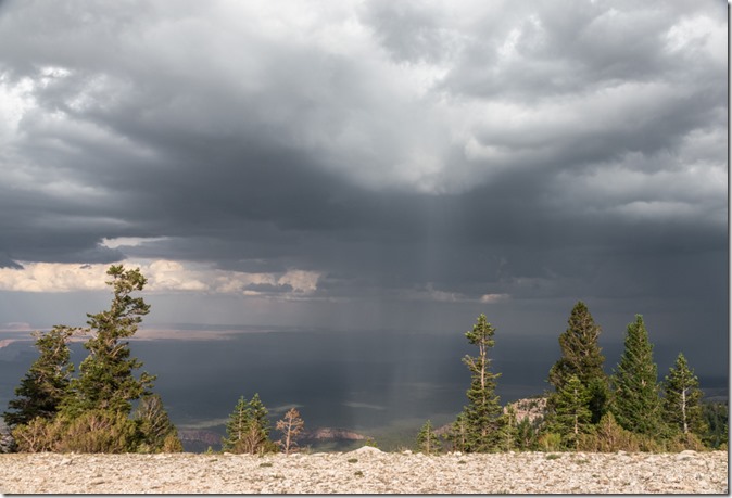
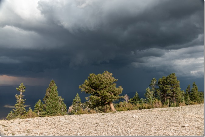
trees valley storm clouds Marble View Kaibab National Forest Arizona

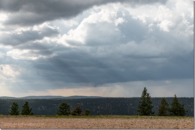
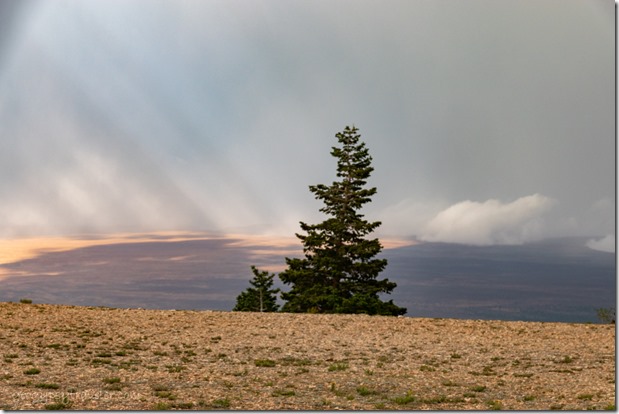
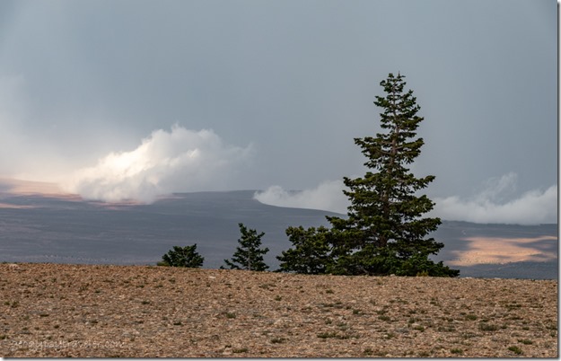
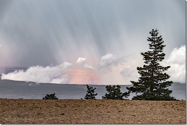
the point trees valley sunrays clouds Marble View Kaibab National Forest ArizonaThen about 30 minutes later as we’d just relaxed into our chairs with a glass of wine to watch the stormy sky a jeep pulled in.  Turned out to be friends from the North Rim who knew I’d be camped there.

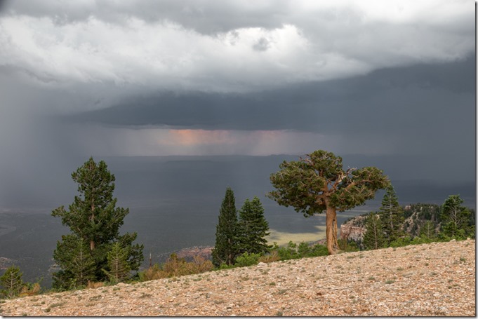
trees valley rain storm clouds Marble View Kaibab National Forest Arizona

trees storm clouds Marble View Kaibab National Forest ArizonaWe chatted and wandered and looked for fossils before the monsoon rains chased everyone inside our respective vehicles.

trees valley storm clouds Marble View Kaibab National Forest Arizona

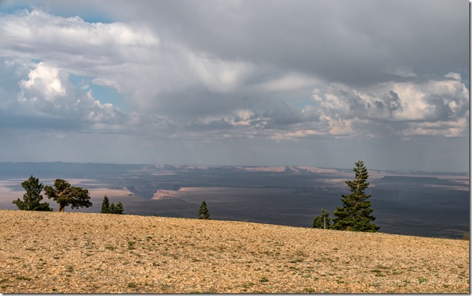
trees clouds crepuscular rays Marble View Kaibab National Forest ArizonaThe sky put on quite a show requiring quite a few ins and outs of the camper between rain drops.  Yet most of the monsoon rains fell below our high camp sending flood waters down stream.  Sadly a life was lost in flash flood from a side canyon along the Colorado River.

tree rainbow patch Marble View Kaibab National Forest Arizona

trees rainbow colors Marble View Kaibab National Forest Arizona

trees rainbow colors Marble View Kaibab National Forest Arizona

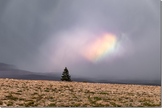
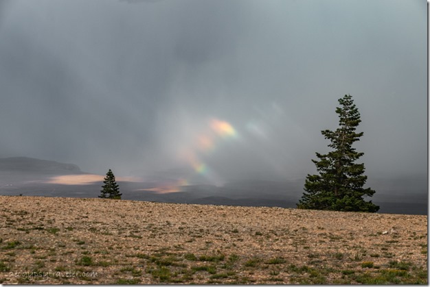
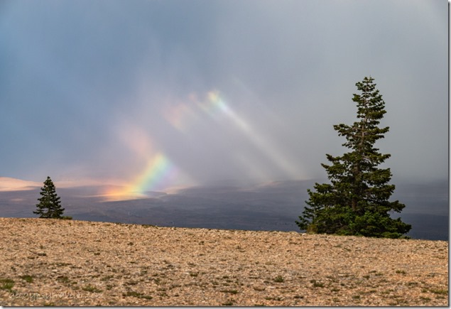
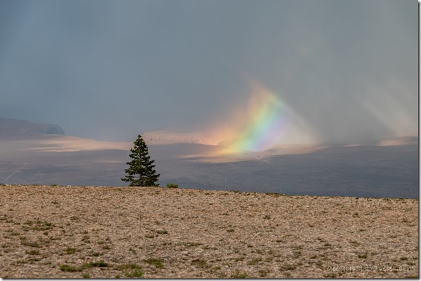
11d DSL_7044lewfbr trees rainbow colors Marble View Kaibab NF AZ fb gfb nwp as g-2Light streamed through breaks in the clouds and brought unusual patches of rainbows.

trees sunrays inversion clouds Marble View Kaibab National Forest Arizona

trees inversion clouds Marble View Kaibab National Forest Arizona

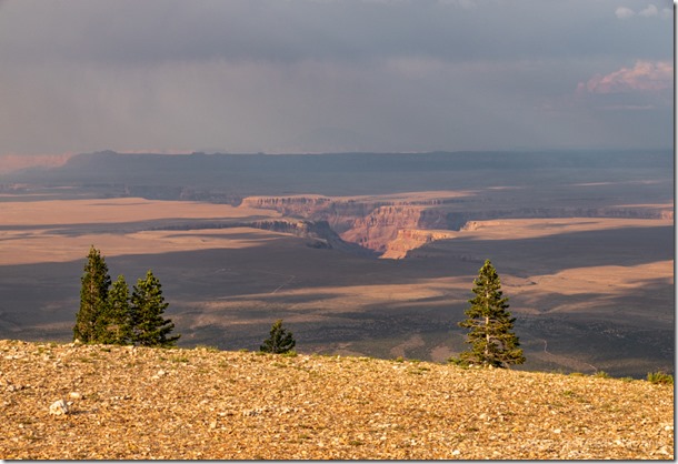
trees valley Vermilion Cliffs inversion clouds anticrepuscular rays Marble View Kaibab National Forest ArizonaThe temperature dropped and so did the clouds causing inversion in Marble Canyon.
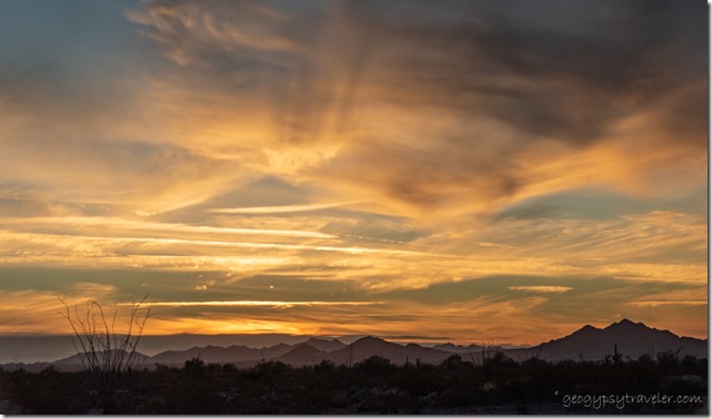
 trees light shadow Marble Canyon Marble View Kaibab National Forest ArizonaLight in Marble Canyon where the Colorado River flows

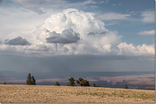
trees sunset clouds Marble View Kaibab National Forest ArizonaRained on and off most of the night and into morning then after noon stopped and the big fluffy clouds made for delightful shadow play across the land plus a semi-colorful sunset.

trees Marble Canyon Echo Cliffs Marble View Kaibab National Forest ArizonaLynda had to leave Friday and I watched more storms come and go with lots of cloud play.  Two cars came out but didn’t stay.  A Forest Service guy stopped and told me about the FR22 and 462 wash out, way to the west and low down like on the way to Snake Gulch.  No worries where I was except for a couple puddles on the Forest Road (FR) back to pavement.

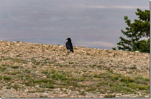
Raven Marble View Kaibab National Forest ArizonaMost of my company included Ravens hopping around eating insects and they are fun to watch as they waddle when they walk.

trees Marble Canyon Echo Cliffs clouds Marble View Kaibab National Forest ArizonaRained lightly several times during the day with intermittent sun patches.

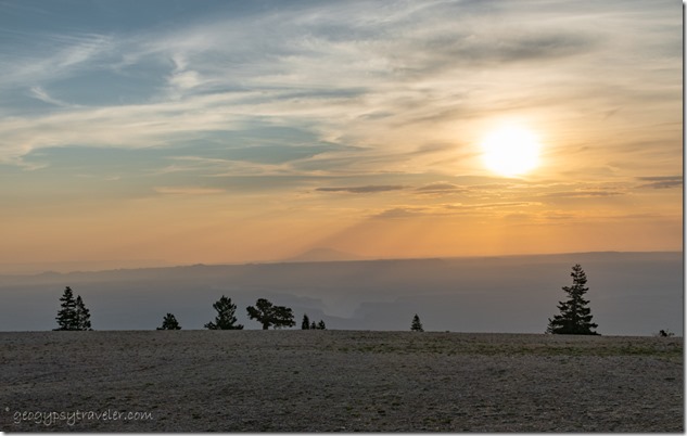
morning light trees House Rock Valley Marble View Kaibab National Forest ArizonaI had to leave Saturday but didn’t rush.  The sky was back to a smoky haze over the House Rock Valley below to the east.  I really thought all the rain would have cleared the air.  I love this summer view as much as the Sonoran Desert in winter.

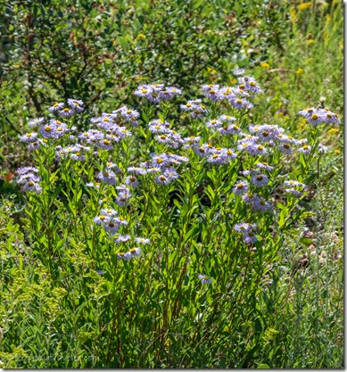
lavendar Fleabane flowers FR219 Kaibab National Forest Arizona

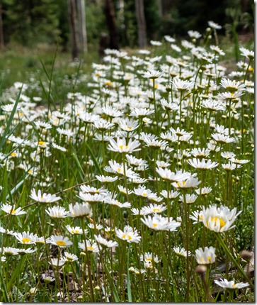
white daisy flowers FR610 Kaibab National Forest Arizona

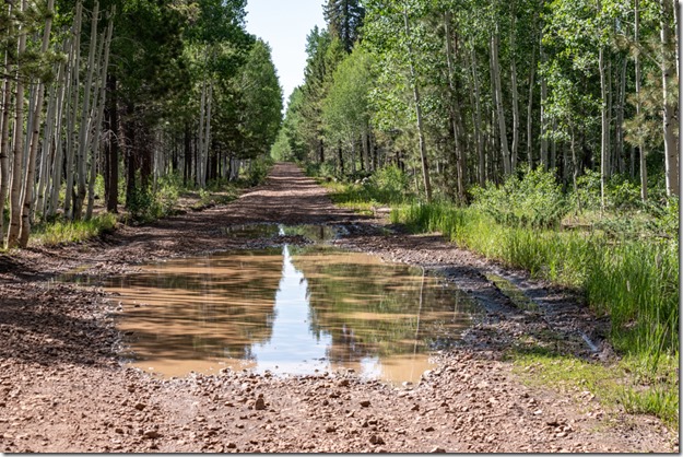
tree reflection FR219 Kaibab National Forest Arizona

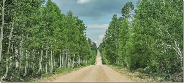
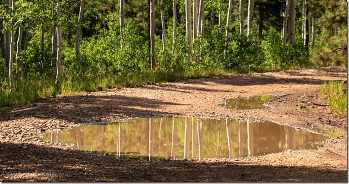
Aspen trunks reflection FR219 Kaibab National Forest ArizonaTook over an hour to drive the 14 miles of gravel because I kept stopping to take photos of the flowers and puddle reflections.

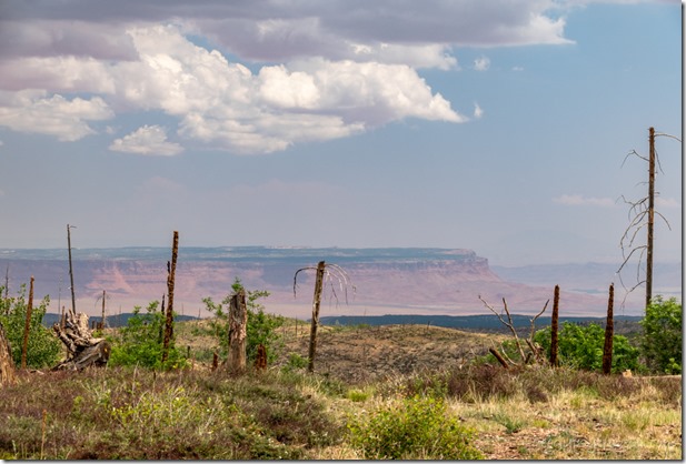
2006 Warm Fire view E Vermilion Cliffs clouds SR67 Kaibab National Forest ArizonaVermilion Cliffs from SR67 Kaibab National Forest

Then another stop at the North Rim Country Store to visit with Robert and another stop at Jacob Lake Inn for cookie orders from Bryce.  Lunch and a few more groceries in Kanab and finally home six hours later to unpack.

A fantastic four-day vacation where Marble View never disappoints, especially during monsoon rains.


Linking to Skywatch Friday

Push my buttons!

  • Click to share on Facebook (Opens in new window) Facebook
  • Click to share on X (Opens in new window) X
  • Click to share on LinkedIn (Opens in new window) LinkedIn

Like this:

Like Loading...
Arizona, Bryce Canyon National Park, Kaibab National Forest, Marble View, Places I've been, United States, Utah camping, monsoon, rain, rainbows 34 Comments
← Older posts

Hi, I’m Gaelyn, the Geogypsy

I retired after 29 summer seasons as a Park Ranger, traveling solo for 40+ years. My passions include travel, connecting to nature, photography, and sharing stories.

I started exploring US National Parks in 1977 and 20 years later became a seasonal Park Ranger.  I’ve lived full-time in a RV for 30 years working summers and playing winters.  I’m still trying to figure out what I want to be when I grow old, other than grow up.

Let’s share our stories.  Here’s more of mine…

My wheeleastate

I am currently…

…boondocking somewhere in southern Arizona.  In the area, give a shout.

Geogypsytraveler on YouTube

Follow my journey on YouTube. Just click the pic. Hope you’ll like, share, and subscribe.

Click image for 7 minute documentary (Password “geogypsy” lowercase)

Making the Gypsy documentary is a story of its own.  Click below for the rest of the story.
Living nomadically & connecting to nature documentary

Subscribe to Blog via Email

Enter your email address to subscribe to this blog and receive notifications of new posts by email.

Photos available for sale include prints, greeting cards, coffee mugs, tote bags, phone cases and more

Reflected Wave 24X16 metal print under $100

Custom Coffee Mugs

Many items to choose from including prints

The Last Blast 24 x 16″ metal print under $100

Need a signal boost? When I boondock on public lands sometimes signal is weak or intermittent and a booster helps. Click the pic to visit WeBoost.

Connecting to nature and the rest of the world too.

Please contact me for photo purchases not seen at GLOlmsted Photography

Order fulfillment is by Fine Art America. If you’re not happy with your purchase, for any reason, simply return it within 30 days, and you’ll receive a full refund of the purchase price.

Why read Geogypsy?

The gypsy life spring-summer 1998 - "You were a real pioneer. RV'ing before it was cool." ...Yogi

How do you process photos? - “Your photographs create an Emotional feeling in the viewer...that they become One with You.” …Cindy

Life’s transitions between travel and work play - "I know you love your job as much as you love travel -- it shines through all your posts." ...Sallie

Lions at Kruger National Park - “Wonderful post, thank you. I was hooked start to finish!” … Peter B

11 lessons looking back 2013 - “A great post -- made me think, made me smile, made me want to cry." ...Sallie

Wildlife video Kruger National Park - “Gorgeous, this makes me want to go straight to South Africa now.” … Ayngelina

Living nomadically & connecting to nature documentary - “What an experience you had and gave to the "crew." Sometimes I think you don't realize how unique and inspiring you are.” …Alan

Search

Popular Posts

1. Prioritize the well-being of nature over photography. 2. Educate yourself about the places you photograph. 3. Reflect on the possible impact of your actions. 4. Use discretion if sharing locations. 5. Know and follow rules and regulations. 6. Always follow Leave No Trace principles and strive to leave places better than you found them. 7. Actively promote and educate others about these principles

Categories

Archives

Sites I follow, read & recommend

  • A Full-time Life
  • A Yankee in Belgrade
  • Bob's Eyes
  • Box Canyon Blog
  • Camels and Chocolate
  • Dawns bloggy blog
  • In the Direction of Our Dreams
  • Jane in her infinite wisdom
  • Janie and Steve, Utah Trails
  • Kathie's Birds
  • Las Adventuras
  • Memorable Meanders
  • Oh, The Places They Go
  • On the Road Abode
  • Port Elizabeth Daily Photo
  • Stillhowlyntravels
  • Take to the Highway
  • Technomadia
  • the good luck Duck
  • Travel with the Bayfield Bunch
  • Wandering Earl
  • Wheeling It
  • Yogi's Den

Caught in a Slot 9×12 canvas print under $50

If you don’t like what’s going on in your government, contact your Congress

Directory of Senators

Directory of Representatives

Lijit

© Copyright 2008-2024. Geogypsytraveler.com
%d