• Home
  • About Geogypsy
    • Herstory
    • Parks where I’ve worked
  • Places I’ve been
    • United States
      • Arizona
        • Antelope Slot Canyon
        • Casa Grande Ruins National Monument
        • Colossal Cave Mountain Park
        • Flagstaff
        • Glen Canyon National Recreation Area
        • Grand Canyon National Park
          • Grand Canyon National Park North Rim
          • Grand Canyon National Park South Rim
          • Toroweap
        • Havasu Canyon
        • Horseshoe Bend
        • Jerome
        • Kaibab National Forest
        • Lee’s Ferry
        • Meteor Crater
        • Navajo Bridge
        • Oak Creek Canyon
        • Painted Desert
        • Pipe Springs National Monument
        • Prescott
        • Quartzsite
        • Saguaro National Park
        • Sedona
        • Sunset Crater Volcano National Monument
        • Vermilion Cliffs
        • Walnut Canyon National Monument
        • Wupatki National Monument
        • Yarnell
      • California
        • Anzaberrego
        • Bakersfield
        • Death Valley National Park
        • Joshua Tree National Park
        • Redwoods NP
        • Salton Sea
        • Yucca Valley
      • Colorado
        • Mesa Verde National Park
      • Florida
      • Illinois
        • IL River
        • Morton Arboretum
        • Starved Rock State Park
      • Michigan
      • Nevada
      • New Mexico
      • Oregon
        • Crater Lake NP
        • Mt Hood
        • Oregon Caves National Monument
      • Texas
        • Alpine Texas
        • Padre Island
        • Port Isabel
        • Rio Grande Valley
      • Utah
        • Brian’s Head
        • Bryce Canyon National Park
        • Buckskin Gulch
        • Cedar Breaks National Monument
        • Cedar City
        • Coral Pink Sand Dunes State Park
        • Dixie National Forest
        • Grand Staircase Escalante National Monument
        • Johnson Canyon
        • Kanab
    • World Travels
      • Germany
      • Mexico
      • South Africa
  • Tours
  • Photography
  • Work with Me
    • Sponsors
  • Contact
Geogypsy
Menu
  • Home
  • About Geogypsy
    • Herstory
    • Parks where I’ve worked
  • Places I’ve been
    • United States
      • Arizona
        • Antelope Slot Canyon
        • Casa Grande Ruins National Monument
        • Colossal Cave Mountain Park
        • Flagstaff
        • Glen Canyon National Recreation Area
        • Grand Canyon National Park
          • Grand Canyon National Park North Rim
          • Grand Canyon National Park South Rim
          • Toroweap
        • Havasu Canyon
        • Horseshoe Bend
        • Jerome
        • Kaibab National Forest
        • Lee’s Ferry
        • Meteor Crater
        • Navajo Bridge
        • Oak Creek Canyon
        • Painted Desert
        • Pipe Springs National Monument
        • Prescott
        • Quartzsite
        • Saguaro National Park
        • Sedona
        • Sunset Crater Volcano National Monument
        • Vermilion Cliffs
        • Walnut Canyon National Monument
        • Wupatki National Monument
        • Yarnell
      • California
        • Anzaberrego
        • Bakersfield
        • Death Valley National Park
        • Joshua Tree National Park
        • Redwoods NP
        • Salton Sea
        • Yucca Valley
      • Colorado
        • Mesa Verde National Park
      • Florida
      • Illinois
        • IL River
        • Morton Arboretum
        • Starved Rock State Park
      • Michigan
      • Nevada
      • New Mexico
      • Oregon
        • Crater Lake NP
        • Mt Hood
        • Oregon Caves National Monument
      • Texas
        • Alpine Texas
        • Padre Island
        • Port Isabel
        • Rio Grande Valley
      • Utah
        • Brian’s Head
        • Bryce Canyon National Park
        • Buckskin Gulch
        • Cedar Breaks National Monument
        • Cedar City
        • Coral Pink Sand Dunes State Park
        • Dixie National Forest
        • Grand Staircase Escalante National Monument
        • Johnson Canyon
        • Kanab
    • World Travels
      • Germany
      • Mexico
      • South Africa
  • Tours
  • Photography
  • Work with Me
    • Sponsors
  • Contact

Tag: Bryce Canyon NP

21 May 2019

Exploring East on Utah’s Scenic Byway SR12 to Escalante

Nice to have so many friends visiting Bryce Canyon National Park, but I also need to explore the surrounding area so on a day off last week I took a drive east on Utah’s Scenic Byway SR12, 60 miles to Escalante (e-skə-ˈlan-tē), or as the locals call it Escalant.
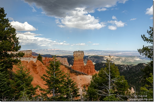
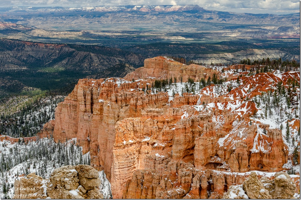
trees hoodoos valley Table Top Plateau from Agua Canyon overlook Bryce Canyon National Park UtahBryce Canyon hoodoos and beyond to Table Top Plateau from Agua Canyon overlook

May has been a busy month at Bryce with training and preparing multiple programs.  It has also been busy with friends visiting, maybe more this month than many seasons at the North Rim.  I love to share, and touring around with friends talking their ears off about all things Bryce Canyon helps me learn and remember.
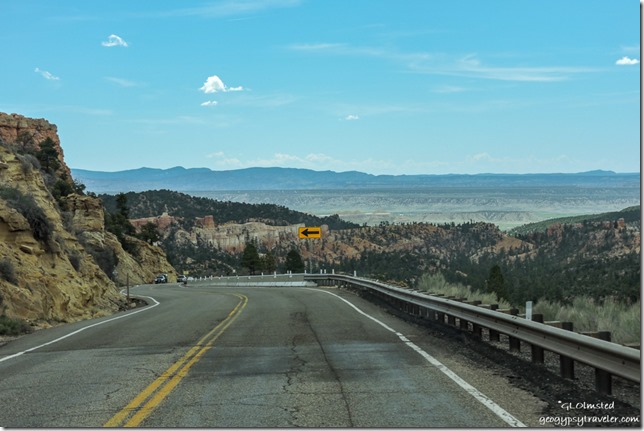
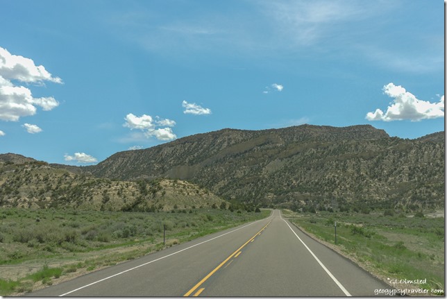
cliff valley ridge SR12 east UtahA few sprinkles of rain fell as I left Bryce Canyon City on SR12 and dropped off the Paunsauguant Plateau southeast through colorful limestone rock layers into Bryce Valley below.
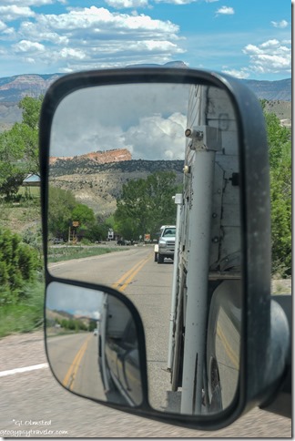
side mirror Sinking Ship in Bryce Canyon National Park from SR12 East Tropic UtahSinking Ship in Bryce Canyon NP

Now I looked up towards the Paunsauguant Plateau trying to connect the dots and get oriented.  Trees were leafed out in the valley with brilliant greens in Tropic just less than 2000 feet below the park where I’m seeing very few buds.  Didn’t stop as my mission was the town of Escalante.  Slowed down in three miles for Cannonville where I also didn’t stop at the Grand Staircase-Escalante National Monument Visitor Center as I’ve already been there, or take the Cottonwood Canyon Road south to Kodachrome Basin where I’ve also been but will return.
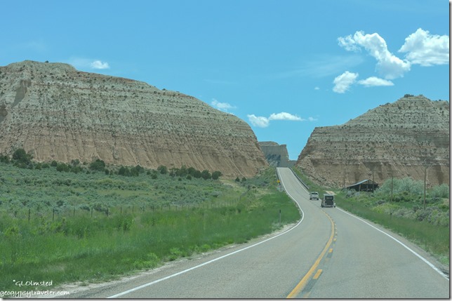
barn Gray Cliffs SR12 Cannonville to Henrieville UtahContinued past the Gray Cliffs and another five miles on through Henrieville.  Don’t blink or you’ll miss these tiny agricultural towns.
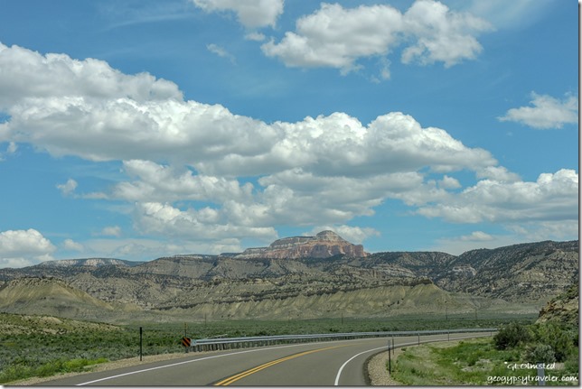
The Blues Powell Point clouds SR12 east UtahRemember Table Top Plateau from above

From there, SR12 turns northeast and continues working it’s way around the Table Top cliffs and Powell Point high above at 10,000 feet.
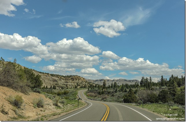
The Blues Kaiparowits Plateau Dixie National Forest SR12 east Utah

Kaiparowits Plateau Dixie National Forest SR12 east UtahA 25mph curvy climb up The Blues onto the Kaiparowits Plateau.  Small side roads beckoned to Canaan Peak and the Upper Valley Guard Station on the Dixie National Forest, for another time.
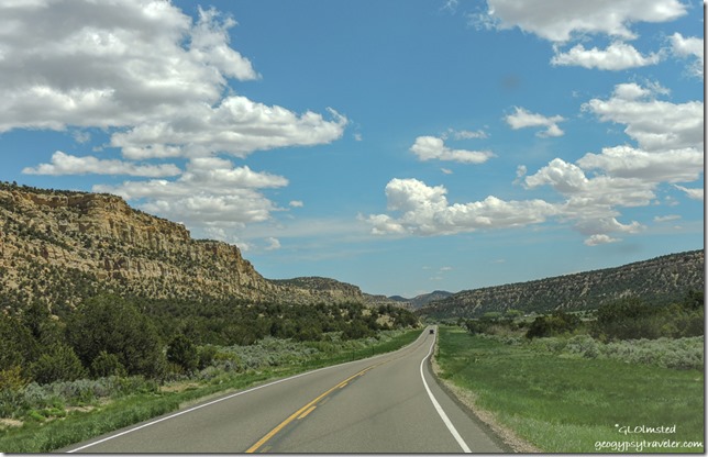
cliffs Upper Valley Creek SR12 east UtahOver the top at 7600 feet then follow Upper Valley Creek down.
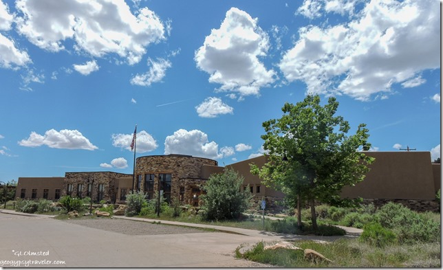
Escalante Interagency Visitor Center Escalante Utah

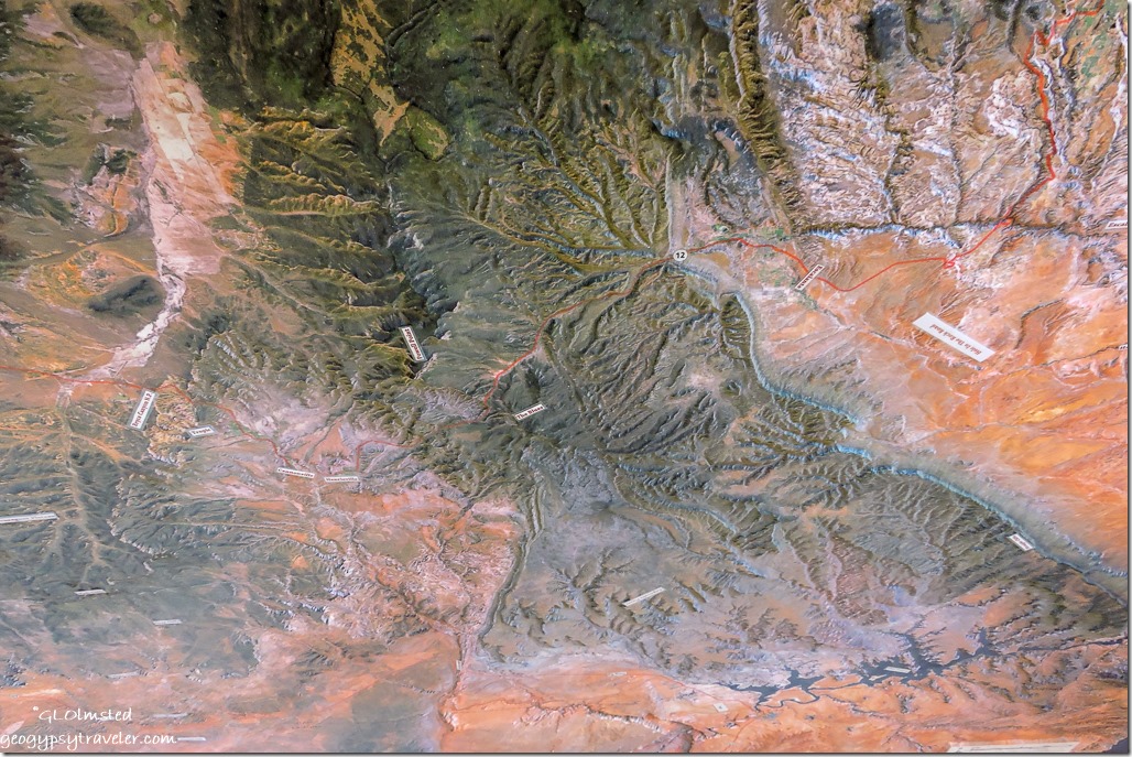
relief map Grand Staircase-Escalante Visitor Center Escalante UtahI stopped at the Escalante Interagency Visitor Center, chatted with a Forest Service employee, and bought maps.  A paper map is the best way for me to orient, especially in a new landscape.  Probably should have watched their orientation movie and perused the museum but by now I was starving hungry and headed to town.
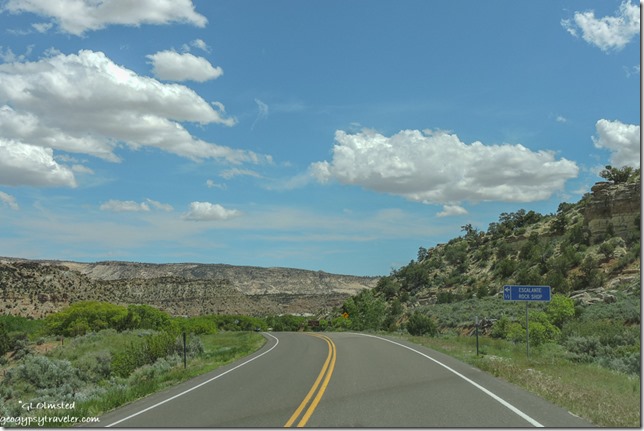
rock shop sign SR12 East enterning Escalante UtahEscalante, the town, is nestled between the elevated meadows of the Aquarius and Kaiparowits Plateaus.  Settled as Potato Valley in 1876 by Mormon pioneers who were advised by members of the second Powell Expedition to name the town after the river running through the valley named after Silvestre Velez de Escalante, a Spanish priest and explorer who traveled through the region in 1776 searching for a route between Santa Fe and California.
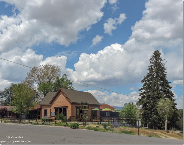
Escalante Mercantile and Natural Grocery Escalante UtahMy first stop was the Escalante Mercantile and Natural Grocery where I not only bought some wonderful and not too terribly overpriced organic strawberries, tomatoes, and a zucchini, but also bought lunch by the pound of dill baked wild salmon and fresh Greek potato salad eaten on their deck.
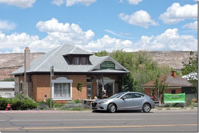
Mimi’s Bakery & Deli Escalante UtahThen across the street at Mimi’s Bakery & Deli I bought an almond crescent for desert and a huge blackberry muffin for breakfast.  I finished stocking up on groceries at Griffin’s Grocery & General Merchandise, a nice store, adequately stocked with good small town prices.  And topped off diesel fuel for .20/gallon less than anywhere else along this journey.
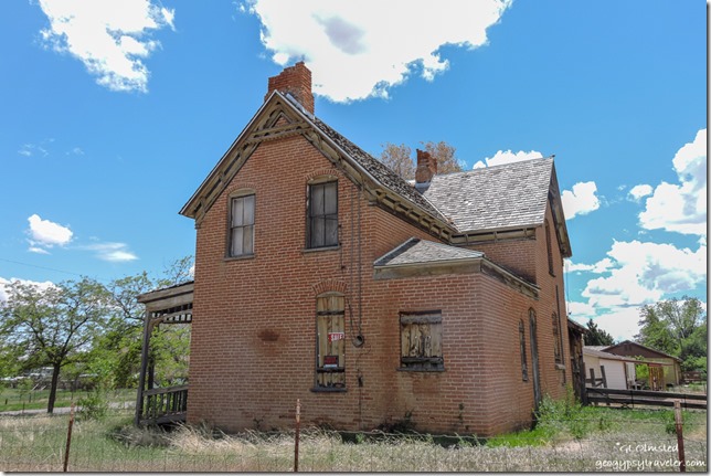
old brick house for sale Escalante UtahI especially admire the old brick houses, some renovated more than others, and although I’m not looking to buy might consider Escalante for a winter home base.  It’s a town of 800 people located in the middle of nowhere, just what I like, and does offer basic services including RV parks (not my permanent living preference), motels, B&Bs, Yurts, auto repairs, coffee shop, outdoor gear, a variety of restaurants, and already mentioned shopping.
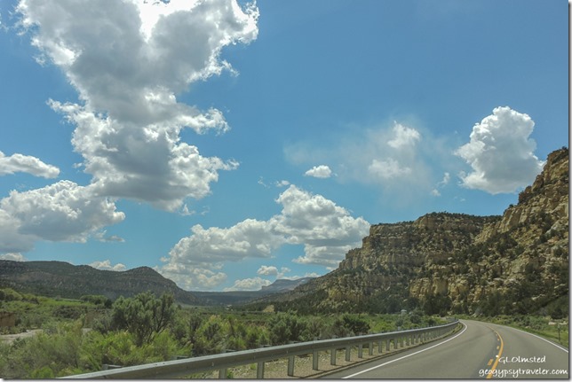
cliffs Upper Valley Creek clouds SR12 West Kapairowits Plateau Grand Staircase-Escalante National Monument UtahThe return trip was of course equally beautiful.  Back up onto the Kaiparowits Plateau, definitely worth more exploration in the Grand Staircase-Escalante National Monument for hiking, awesome geology and arches, fossils, and native ruins.
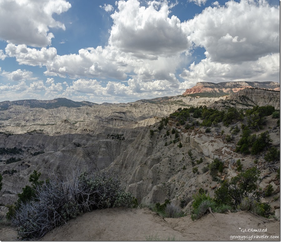
The Blues Powell Point clouds SR12 UtahStopped at The Blues overlook with Table Top Plateau high above.  This badland of gray-green shale was deposited about 80 million years ago when the area was covered by an inland sea.  This versus the younger sandstone and freshwater limestone deposited later.
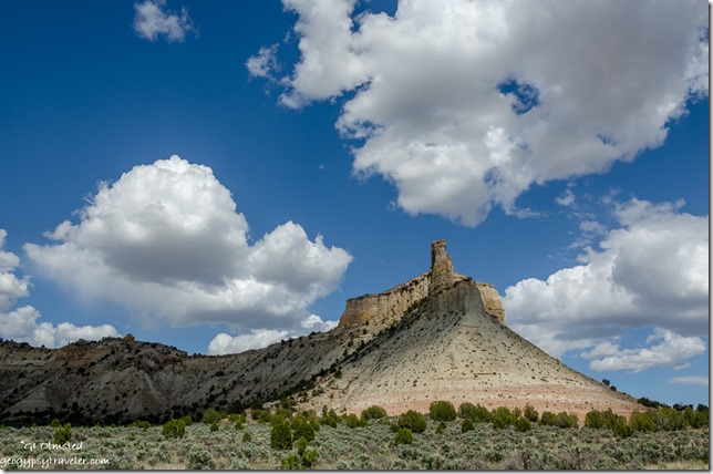
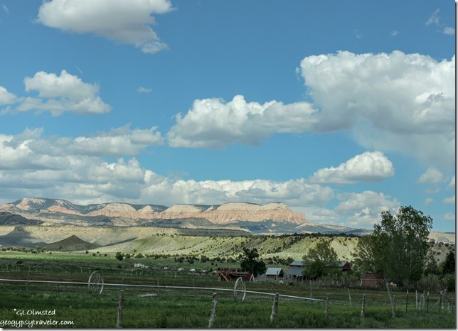
formation Promise Rock wayside SR12 Henrieville UtahBack in Bryce Valley near Henrieville, the Promise Rock wayside provides more stunning rocky views.  The town of Henrieville was settled in the 1870s and with a current population of a bit over 200 I suspect generations of decedents still reside in this cattle ranching community.  I didn’t drive the side streets here or Cannonville as I did in Escalante and Tropic.
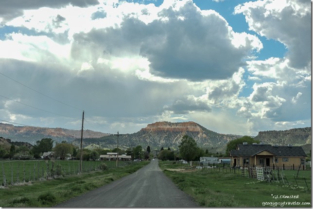
DSCN7140 valley Table Top Plateau Tropic UtahOnce again Table Top Plateau

valley Bryce Canyon National Park from Tropic UtahFar left cliffs Bryce Canyon amphitheater

Tropic is nestled between the amphitheaters of Bryce Canyon National Park to the west and Table Top Plateau to the east.  Established in 1891 yet even with a growing population and development for tourism the population in 2010’s census was 530.  I stopped at the hardware store where a guy, possibly the owner claiming third generation from Ebenezer Bryce, talked Tropic history for 30 minutes when finally another customer interrupted.  Thank goodness, interesting but I wanted to also check out the Clarke’s Country Market which turned out to be just OK with tourist prices.
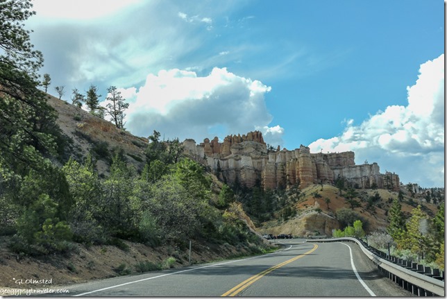
hoodoos SR12 west Bryce Canyon National Park UtahBack up onto the Paunsauguant Plateau after six hours to Escalante and back home to Bryce.
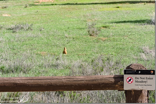
Prarie Dog sign driveway Bryce Canyon National Park UtahSo much more to explore east along Utah’s Scenic Byway SR12 like Petrified Forest State Park, Calf Creek Recreation Area, The Hogback, the towns of Boulder and Torrey, plus beyond to Capitol Reef.  And then there’s side trips to Posey Lake, Hole-in-the-Rock and Hell’s Backbone Roads, the Burr Trail and Anasazi Village State Park.  All that and more in only one basic direction, east, of Bryce Canyon National Park.  No wonder so many people love southern Utah.

Push my buttons!

  • Click to share on Facebook (Opens in new window) Facebook
  • Click to share on X (Opens in new window) X
  • Click to share on LinkedIn (Opens in new window) LinkedIn

Like this:

Like Loading...
National Parks and Monuments, Places I've been, United States, Utah Bryce Canyon NP, Cannonville, Escalante, Henrieville, SR12, Tropic, Utah Scenic Byway 35 Comments
07 May 2019

The mishaps of moving two RVs

snow hoodoos valley Table Top Mesa Bryce Canyon National Park UtahI know it’s crazy because I travel solo and it isn’t easy moving two RVs but one is my home and the other my glamping toy.  Thus the tale of mishaps moving to Bryce Canyon National Park for the summer.

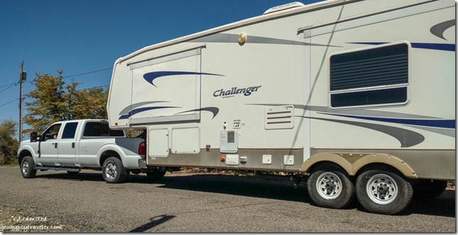
truck 5th-wheel leaving Yarnell ArizonaAt first I tried to find someone local to move the 5th-wheel but eventually called the person who lives in Utah and had moved it before.  He and his wife have professional and personal experience with RVs so I trust them.  The original plan was they would pick up and tow the 5th-wheel on Wednesday from Yarnell to their property in Kanab, Utah.  They only made it as far as Flagstaff and after fueling at Sam’s Club, on the way out of the parking lot heard a bang and saw a rear tire smoking so pulled back in the lot.  A rear spring had broken, or exploded into several pieces.  The local mobile service couldn’t get the part until the next day so they spent a chilly night.  Repair happened Thursday and just after noon they were on their way.  I am terribly sorry this happened to them, or at all, but am glad it was them and not me.  I’d have been totally stressed out.  Plus so grateful that it didn’t happen on the highway.  Why did it happen is difficult to say.  I’ve been bouncing that RV on roads for seven years.  Maybe it was an unavoidable pothole on I40.  Yes even though it’s under construction and being repaved it has almost more holes than before.  Was truly a relief to me these competent people had the problem under control.

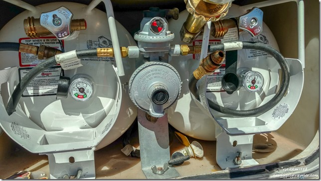
propane tanks truckcamper Peeples Valley ArizonaI rolled out of Yarnell as planned on Thursday morning with a stop in Peeples Valley to fill propane tanks on the truck camper.  These are the new horizontal 5-gallon tanks I had to buy a few months ago because the originals from 1998 could no longer be re-certified.  However, this new design is a nightmare.  They are impossible to fill while in the camper even with my 90° adapter, the guy tried.  Finally called where I bought them and was told they have to come out and be filled vertically.  That is truly a pain in the you know what and I’ll never be able to lift them out and in because of my bad shoulders and lack of upper body strength.  Bless this guy’s heart he stuck with it.  But they won’t even fill all the way full.  Took him over an hour to sell me four gallons of propane.  That’s total in two tanks.  Not going to work.  I am not happy with this arrangement and now far away from the B&B Auto where I bought those in Congress.

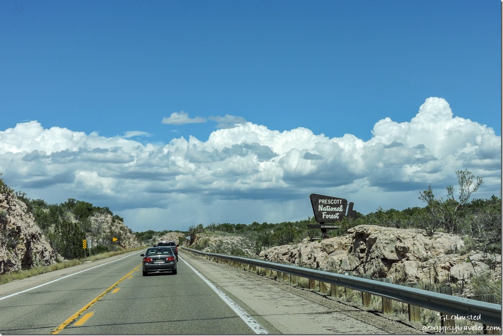
sign leaving Prescott National Forest SR89 North ArizonaAfter a brief shop stop in Prescott I hit the road north about the same time my 5th-wheel left Flagstaff.

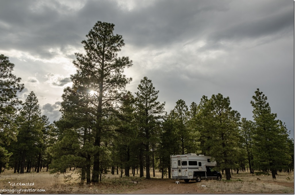
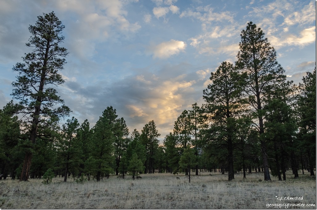
truckcamper treees clouds Coconino National Forest ArizonaMy thought was to camp at Sunset Crater’s Bonito campground but it was still closed for the season.  So I went boondocking not far away along with a few others who had the same idea and camped just out of sight of each other.

trees sunrise clouds Coconino National Forest Arizona

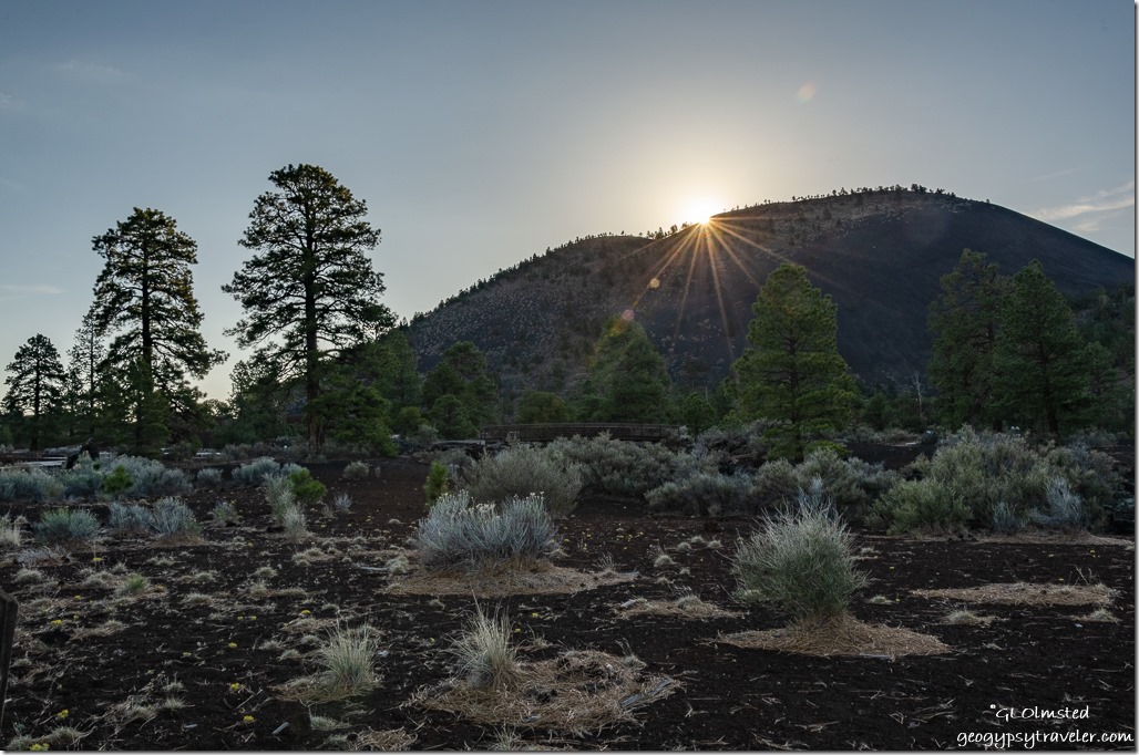
trees Sunset Crater sunrise Sunset Crater National Monument ArizonaAwoke in time to catch a soft sunrise in camp then buzzed to a trailhead in the national monument to see the sun rise over Sunset Crater.

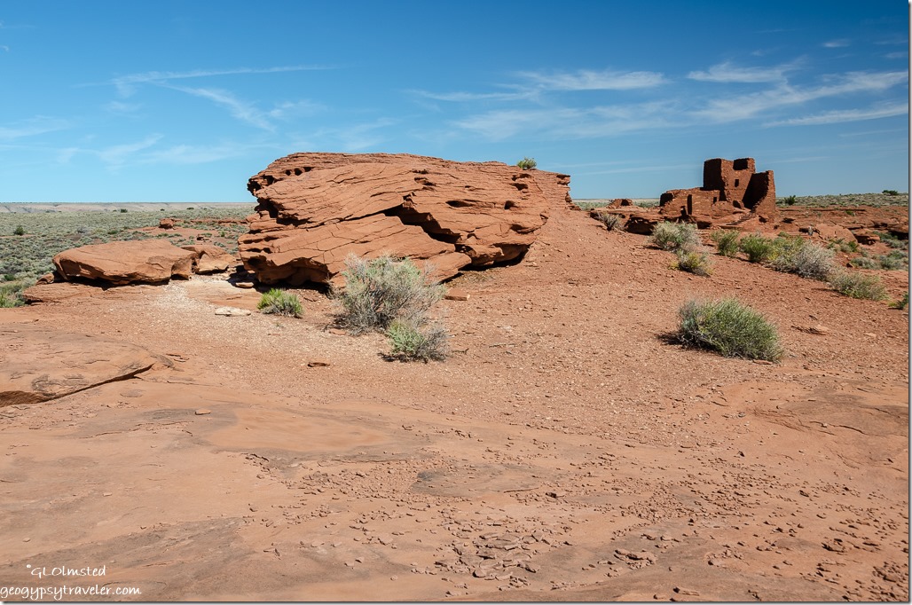
Wukoki ruin Wupatki National Monument Arizona

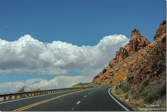
Echo Cliffs clouds SR89 North to Page ArizonaAfter breakfast in the parking lot, I drove the loop road to Wupatki National Monument.  Stopped at Wukoki ruin then onward to Page where I dropped off some outgrown uniform pants for a friend.

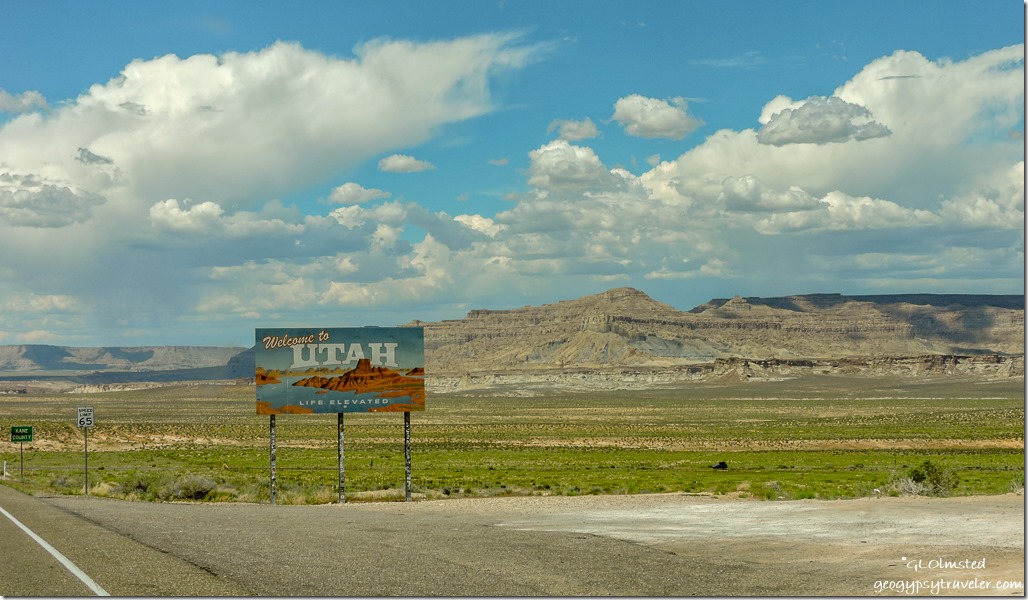
sign Welcome to Utah SR89 Utah

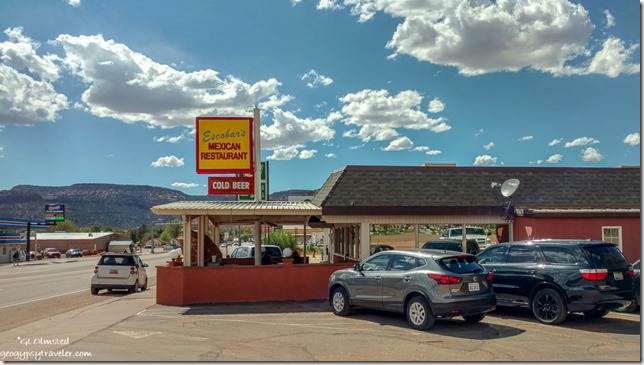
Escobars Kanab Utah

Next stop, Kanab and an early dinner with Bill at my favorite restaurant in town, Escobars.  Mexican food that can’t be beat.

Later, while admiring the pruned fruit trees in Bill’s back yard I notice three flowering lilac bushes, lavender, white, and deep purple.  I love these and grew up playing under large hedges of them in Illinois.  So I buried my nose and breathed deep.  Might have been a mistake as I woke in the middle of the night unable to breath through my runny stuffed up nose.  Even allergy pills didn’t help the next day.

Saturday I blew through at least one box of kleenex and took a two hour nap.  Before the nap I called my tow people and was told the 5th-wheel would need three new tires as this break had screwed them up badly.  That couldn’t be done until Monday morning and afterwards the 5th-wheel would be towed up to Bryce.

sign Forscher German Bakery Orderville Utah

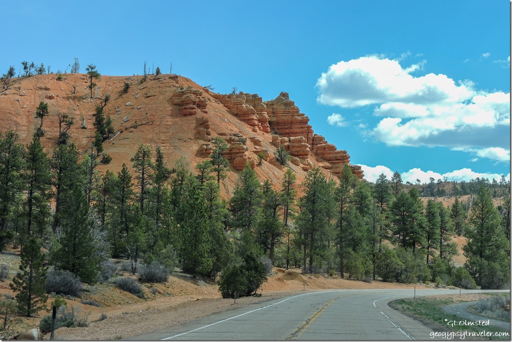
trees red cliffs SR12 East Red Canyon Dixie National Forest UtahRed Canyon Dixie National Forest

I left Kanab still sniffling on Sunday about 10am.  Made one stop along the way at the Forscher German bakery in Orderville.  I was starting to feel a little better but looked forward to a nap once parked in Bryce.

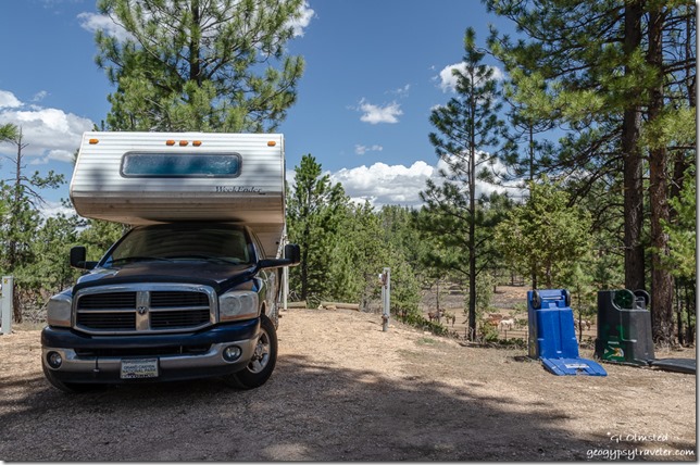
truckcamper trees site #4 Bryce Canyon National Park Utah

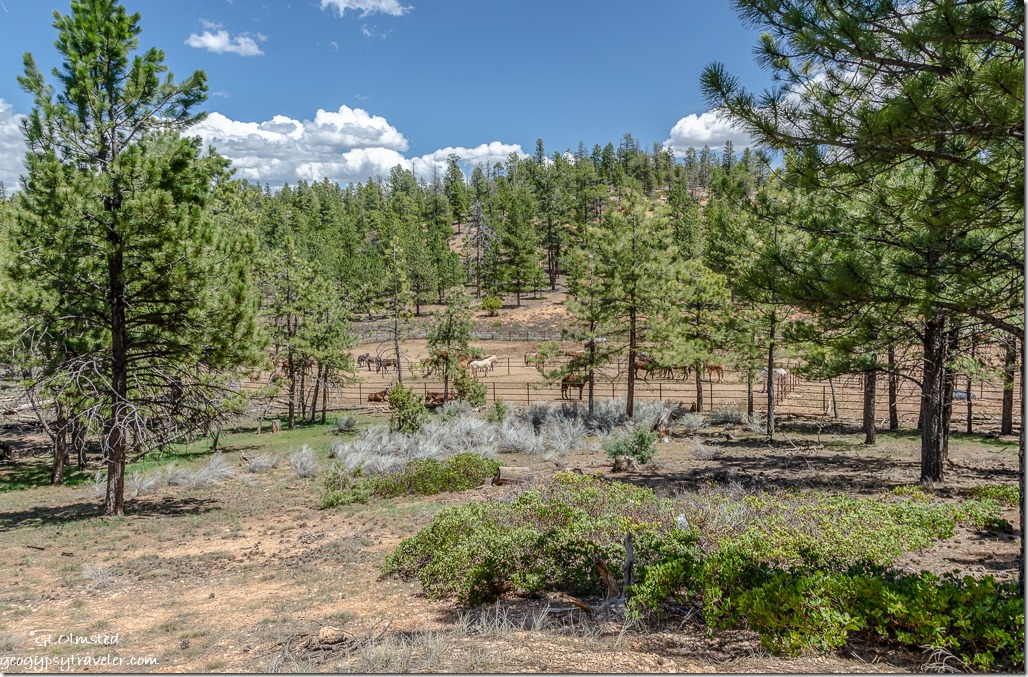
RV window view trees horses corral Bryce Canyon National Park UtahMy new home RV site was plenty big enough for the truckcamper but looked small and a tight fit for the 36-foot 5th-wheel with three slide-outs.  Thank goodness someone else was backing it in.  The forest view includes a corral with horses, mules, and at least one donkey.  The signal was just OK and intermittent.  I took a nap and didn’t go out until work in the morning.

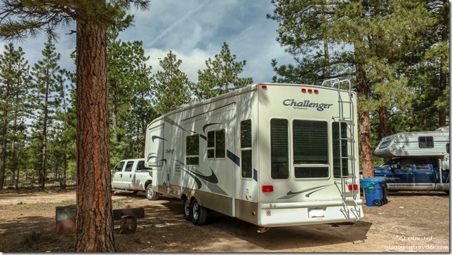
truck 5th-wheel site #4 Bryce Canyon National Park UtahTwo motorhomes parked to my right, one where my truck was

Around 10 Monday morning I received a text that the 5th-wheel was pulling into the park so I left work to lead it in.  Took almost two hours to get the beast into site #4, an up-size from from my originally assigned #2 which is impossibly small.  Once in, it fit fine.  There are six sites, only four filled so far and the rest will be also.  Most national park site campgrounds, public and staff, were built long enough ago when RVs weren’t the beastly size of today.  Sadly, there is no money to update.  On the upside the site is level and has 50amp service.

After work I moved Sierra inside the 5th-wheel closing her in the toilet room so she couldn’t get out with open doors needed to transfer stuff from the camper.  I hooked up the fresh water dreaming of a shower in my own house.  But before I even turned the water heater on I saw water dripping from the bottom front and sides.  I opened the basement doors looking for pipe leaks and didn’t see anything obvious so turned the water off and went inside to find wet floor by the door and base of the stairs.  A very unhappy Sierra let me know she wanted out of the closet-sized space and when I opened the door I saw water flowing onto the floor instead of into the toilet.

That night I watched a couple of YouTube videos about repairing and replacing RV toilets and decided it was time to change this one out so ordered a new one from Amazon.  That means no running water until the new toilet is installed.  Also ordered a cat tree for Sierra.

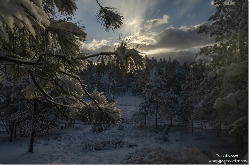
snow trees corral sunrise clouds Bryce Canyon National Park UtahAwoke to a light dusting of snow on Tuesday and complete ground cover Wednesday.  Welcome Spring at 8000 feet.

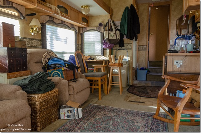
inside 5th-wheel Bryce Canyon National Park UtahToo tired after work to unpack the house, I lived with the mess for several days.  On the weekend I made the space livable and discovered I own way too much furniture.

It is a lot of work moving two RVs but will be so worth it when I explore the area on my weekends.  Which, BTW, after another week of training is over will be Monday & Tuesday one week, and add Wednesday the next week.  Sure hope these are enough RV mishaps for a long while.

Push my buttons!

  • Click to share on Facebook (Opens in new window) Facebook
  • Click to share on X (Opens in new window) X
  • Click to share on LinkedIn (Opens in new window) LinkedIn

Like this:

Like Loading...
RV living Arizona, Bryce Canyon NP, moving, moving RV, Utah 34 Comments
Newer posts →

Hi, I’m Gaelyn, the Geogypsy

I retired after 29 summer seasons as a Park Ranger, traveling solo for 40+ years. My passions include travel, connecting to nature, photography, and sharing stories.

I started exploring US National Parks in 1977 and 20 years later became a seasonal Park Ranger.  I’ve lived full-time in a RV for 30 years working summers and playing winters.  I’m still trying to figure out what I want to be when I grow old, other than grow up.

Let’s share our stories.  Here’s more of mine…

My wheeleastate

I am currently…

…boondocking somewhere in southern Arizona.  In the area, give a shout.

Geogypsytraveler on YouTube

Follow my journey on YouTube. Just click the pic. Hope you’ll like, share, and subscribe.

Click image for 7 minute documentary (Password “geogypsy” lowercase)

Making the Gypsy documentary is a story of its own.  Click below for the rest of the story.

Living nomadically & connecting to nature documentary

Subscribe to Blog via Email

Enter your email address to subscribe to this blog and receive notifications of new posts by email.

Photos available for sale include prints, greeting cards, coffee mugs, tote bags, phone cases and more

Reflected Wave 24X16 metal print under $100

Custom Coffee Mugs

Many items to choose from including prints

The Last Blast 24 x 16″ metal print under $100

Need a signal boost? When I boondock on public lands sometimes signal is weak or intermittent and a booster helps. Click the pic to visit WeBoost.

Connecting to nature and the rest of the world too.

Please contact me for photo purchases not seen at GLOlmsted Photography

Order fulfillment is by Fine Art America. If you’re not happy with your purchase, for any reason, simply return it within 30 days, and you’ll receive a full refund of the purchase price.

Why read Geogypsy?

The gypsy life spring-summer 1998 - "You were a real pioneer. RV'ing before it was cool." ...Yogi

How do you process photos? - “Your photographs create an Emotional feeling in the viewer...that they become One with You.” …Cindy

Life’s transitions between travel and work play - "I know you love your job as much as you love travel -- it shines through all your posts." ...Sallie

Lions at Kruger National Park - “Wonderful post, thank you. I was hooked start to finish!” … Peter B

11 lessons looking back 2013 - “A great post -- made me think, made me smile, made me want to cry." ...Sallie

Wildlife video Kruger National Park - “Gorgeous, this makes me want to go straight to South Africa now.” … Ayngelina

Living nomadically & connecting to nature documentary - “What an experience you had and gave to the "crew." Sometimes I think you don't realize how unique and inspiring you are.” …Alan

Search

Popular Posts

1. Prioritize the well-being of nature over photography. 2. Educate yourself about the places you photograph. 3. Reflect on the possible impact of your actions. 4. Use discretion if sharing locations. 5. Know and follow rules and regulations. 6. Always follow Leave No Trace principles and strive to leave places better than you found them. 7. Actively promote and educate others about these principles

Categories

Archives

Sites I follow, read & recommend

  • A Full-time Life
  • A Yankee in Belgrade
  • Bob's Eyes
  • Box Canyon Blog
  • Camels and Chocolate
  • Dawns bloggy blog
  • In the Direction of Our Dreams
  • Jane in her infinite wisdom
  • Janie and Steve, Utah Trails
  • Kathie's Birds
  • Las Adventuras
  • Memorable Meanders
  • Oh, The Places They Go
  • On the Road Abode
  • Port Elizabeth Daily Photo
  • Stillhowlyntravels
  • Take to the Highway
  • Technomadia
  • the good luck Duck
  • Travel with the Bayfield Bunch
  • Wandering Earl
  • Wheeling It
  • Yogi's Den

Caught in a Slot 9×12 canvas print under $50

If you don’t like what’s going on in your government, contact your Congress

Directory of Senators

Directory of Representatives

Lijit

© Copyright 2008-2024. Geogypsytraveler.com
%d