• Home
  • About Geogypsy
    • Herstory
    • Parks where I’ve worked
  • Places I’ve been
    • United States
      • Arizona
        • Antelope Slot Canyon
        • Casa Grande Ruins National Monument
        • Colossal Cave Mountain Park
        • Flagstaff
        • Glen Canyon National Recreation Area
        • Grand Canyon National Park
          • Grand Canyon National Park North Rim
          • Grand Canyon National Park South Rim
          • Toroweap
        • Havasu Canyon
        • Horseshoe Bend
        • Jerome
        • Kaibab National Forest
        • Lee’s Ferry
        • Meteor Crater
        • Navajo Bridge
        • Oak Creek Canyon
        • Painted Desert
        • Pipe Springs National Monument
        • Prescott
        • Quartzsite
        • Saguaro National Park
        • Sedona
        • Sunset Crater Volcano National Monument
        • Vermilion Cliffs
        • Walnut Canyon National Monument
        • Wupatki National Monument
        • Yarnell
      • California
        • Anzaberrego
        • Bakersfield
        • Death Valley National Park
        • Joshua Tree National Park
        • Redwoods NP
        • Salton Sea
        • Yucca Valley
      • Colorado
        • Mesa Verde National Park
      • Florida
      • Illinois
        • IL River
        • Morton Arboretum
        • Starved Rock State Park
      • Michigan
      • Nevada
      • New Mexico
      • Oregon
        • Crater Lake NP
        • Mt Hood
        • Oregon Caves National Monument
      • Texas
        • Alpine Texas
        • Padre Island
        • Port Isabel
        • Rio Grande Valley
      • Utah
        • Brian’s Head
        • Bryce Canyon National Park
        • Buckskin Gulch
        • Cedar Breaks National Monument
        • Cedar City
        • Coral Pink Sand Dunes State Park
        • Dixie National Forest
        • Grand Staircase Escalante National Monument
        • Johnson Canyon
        • Kanab
    • World Travels
      • Germany
      • Mexico
      • South Africa
  • Tours
  • Photography
  • Work with Me
    • Sponsors
  • Contact
Geogypsy
Menu
  • Home
  • About Geogypsy
    • Herstory
    • Parks where I’ve worked
  • Places I’ve been
    • United States
      • Arizona
        • Antelope Slot Canyon
        • Casa Grande Ruins National Monument
        • Colossal Cave Mountain Park
        • Flagstaff
        • Glen Canyon National Recreation Area
        • Grand Canyon National Park
          • Grand Canyon National Park North Rim
          • Grand Canyon National Park South Rim
          • Toroweap
        • Havasu Canyon
        • Horseshoe Bend
        • Jerome
        • Kaibab National Forest
        • Lee’s Ferry
        • Meteor Crater
        • Navajo Bridge
        • Oak Creek Canyon
        • Painted Desert
        • Pipe Springs National Monument
        • Prescott
        • Quartzsite
        • Saguaro National Park
        • Sedona
        • Sunset Crater Volcano National Monument
        • Vermilion Cliffs
        • Walnut Canyon National Monument
        • Wupatki National Monument
        • Yarnell
      • California
        • Anzaberrego
        • Bakersfield
        • Death Valley National Park
        • Joshua Tree National Park
        • Redwoods NP
        • Salton Sea
        • Yucca Valley
      • Colorado
        • Mesa Verde National Park
      • Florida
      • Illinois
        • IL River
        • Morton Arboretum
        • Starved Rock State Park
      • Michigan
      • Nevada
      • New Mexico
      • Oregon
        • Crater Lake NP
        • Mt Hood
        • Oregon Caves National Monument
      • Texas
        • Alpine Texas
        • Padre Island
        • Port Isabel
        • Rio Grande Valley
      • Utah
        • Brian’s Head
        • Bryce Canyon National Park
        • Buckskin Gulch
        • Cedar Breaks National Monument
        • Cedar City
        • Coral Pink Sand Dunes State Park
        • Dixie National Forest
        • Grand Staircase Escalante National Monument
        • Johnson Canyon
        • Kanab
    • World Travels
      • Germany
      • Mexico
      • South Africa
  • Tours
  • Photography
  • Work with Me
    • Sponsors
  • Contact

Tag: bird watching

12 July 2023

Indian Bread Rocks boulders birds & boondocking

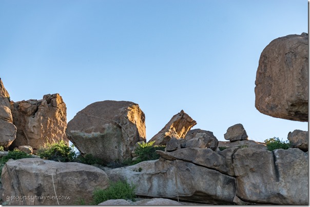
light boulders Indian Bread Rocks RA Bowie AZI spent 14 days during early May free camping at Indian Bread Rocks and even got up the nerve to climb the boulders.  Lots of space for boondocking, adequate signal, friendly four-legged bovine neighbors, and a bonus June full moon.
rock pillars Chiricahua NM AZChiricahua National Monument

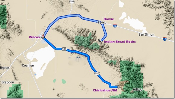
map route CHIR to INBRAfter visiting Chiricahua National Monument I drove north to Wilcox where I bought propane and diesel then went east to Bowie and south to Indian Bread Rocks Recreation Area.  I kind of went the long way around, but with purpose.
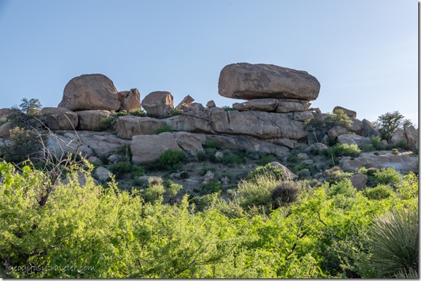
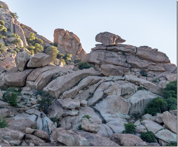
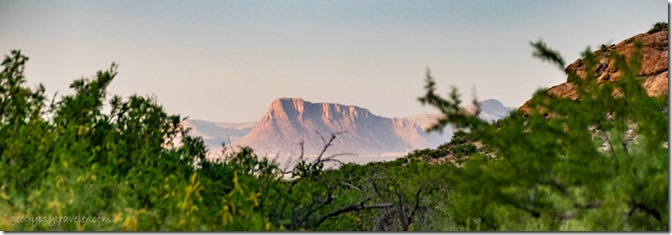
boulders Indian Bread Rocks Rec Area BLM Bowie AZThis BLM managed site looks at the Dos Cabezas Mountains (Spanish for Two Heads) from the opposite side of Chiricahua.  And the rocks are a whole lot different.
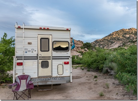
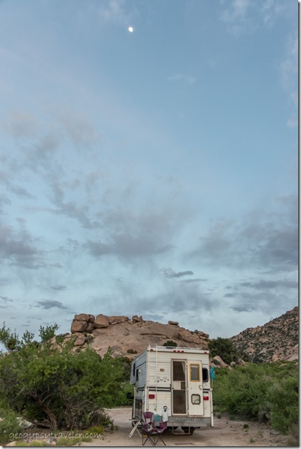
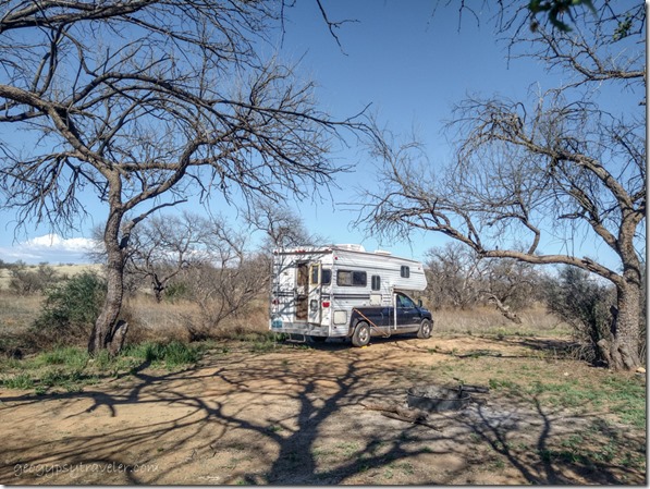
truckcamper sunset reflection Indian Bread Rocks RA BLM Bowie AZAfter scoping out a couple places to park I chose a large and level space within sight of the gravel road and day-use area with an amazing view and signal too.  My nearest neighbor, barely in sight over 100 feet away, ran a noisy generator the first afternoon and thankfully pulled out the next morning.  The replacement neighbor was quiet.
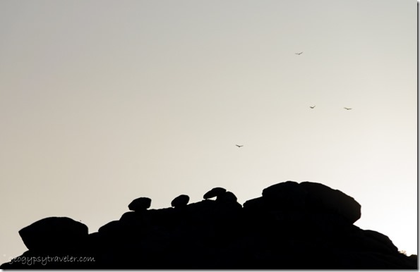
last light boulders Indian Bread Rocks Rec Area BLM Bowie AZBecause I was totally stocked I could stay in this amazing place for a full 14 days.  And thus, there will be even more photos than usual.

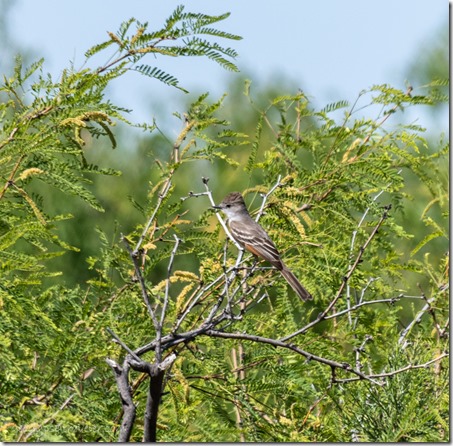
Ash-throated Flycatcher bird Indian Bread Rocks RA Bowie AZAsh-throated Flycatcher

The palpable silence was only broken by delightful bird song from the nearby Mesquite tree.
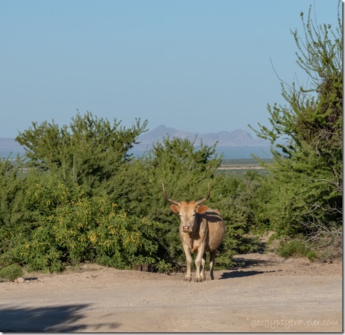
longhorn cow Indian Bread Rocks BLM Bowie AZOh, and the startlingly loud lowing, which comes from a word that means to shout, MOO of a cow leading a few others to graze among the boulders every morning, then back to wherever in the late afternoon.  Indian Bread Rocks is managed by the Bureau of Land Management (BLM) which allows grazing on public lands.  I spent a bit of time sitting outside chasing shade while watching my newest world go by.
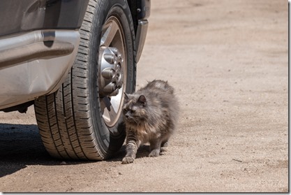
Sierra by truck tire Indian Bread Rocks BLM Bowie AZSierra decided she wanted outside as well and head bumped the screen door open. Took me three days of thinking how to better latch that door and even longer to get to a hardware store for a hook-n-eye latch.
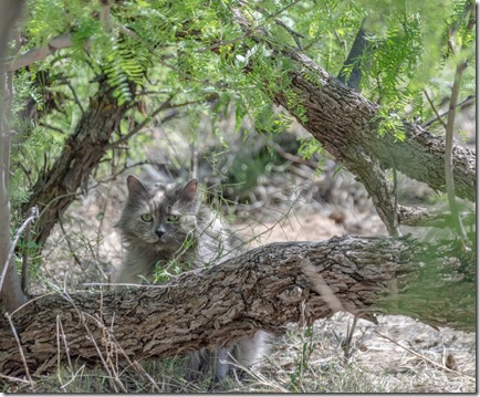
Sierra cat outside Indian Bread Rocks RA Bowie AZIn the meantime, I put Sierra’s harness on with no fuss, clipped on her leash, carried her outside and she went straight under the shade and safety of the truck.  I took a short video that went viral. (She gets better numbers than I do.)  Then she immediately backed out of the harness and went wandering straight into the thick leafy duff under the Mesquite.  I ended that foray not quite quick enough to keep her extra-long fur from acting like a leaves-magnet before putting her back in the camper.  Sierra isn’t keen on being brushed but will let me trim a little so within a few days sported a rather choppy haircut.
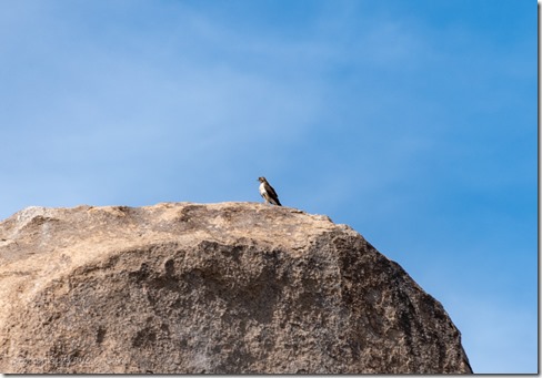
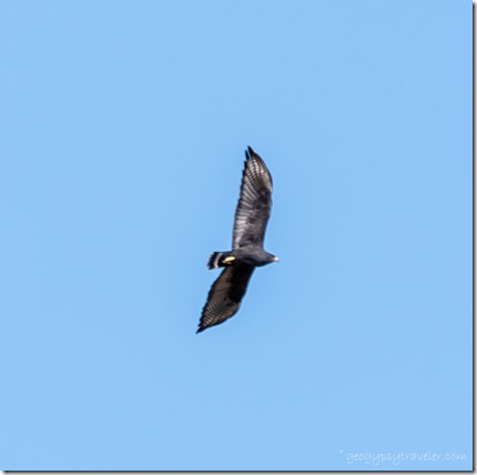
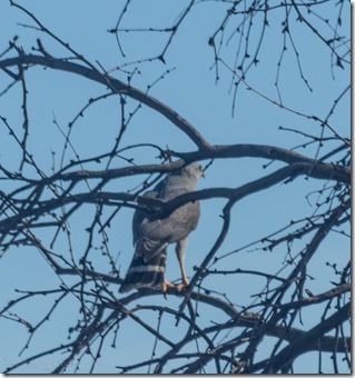
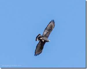
Black hawk bird Indian Bread Rocks RA Bowie AZBlack hawk, lifer

unidentified hawk on boulder Indian Bread Rocks BLM Bowie AZNo more going outside for her as I get stressed and worry about her becoming prey.
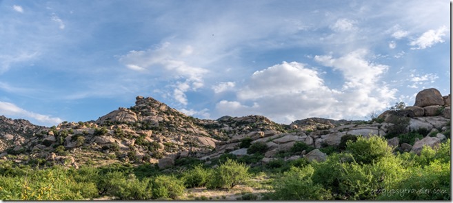
bushes boulders clouds Indian Bread Rocks BLM Bowie AZ

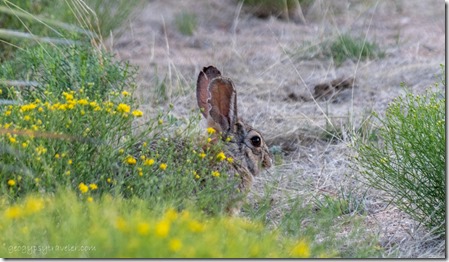
Cottontail Indian Bread Rocks BLM Bowie AZBut she’s figured it out now and continued to bump the door open.  If she’d stay close by or come when she’s called it might work.  But I worry, so back inside she finally goes.  With temperatures in the high 80s I have to keep the outside door open for air flow.  I blocked her way with water bottles in front of the door.
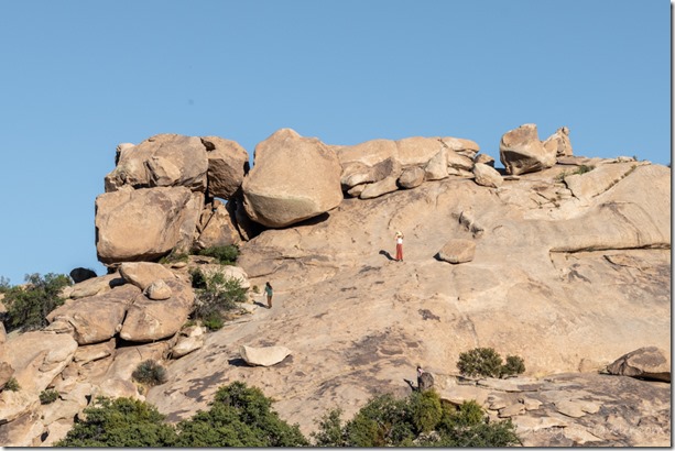
people climbing slickrock Indian Bread Rocks RA BLM Bowie AZSitting outside in the Mesquite tree shade I didn’t get much reading done because of constantly snapping photos.
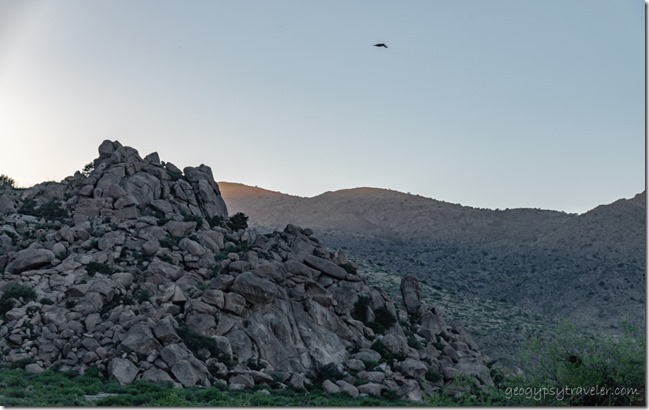
late light boulders Indian Bread Rocks RA BLM Bowie AZ

boulders Indian Bread Rocks RA BLM Bowie AZ

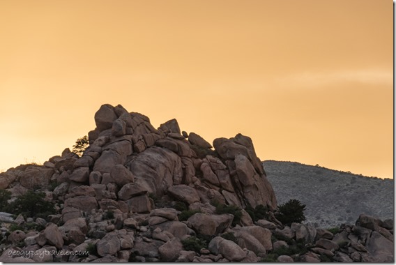
boulders bird Dos Cabezas Mts Indian Bread Rocks RA BLM Bowie AZLoved watching the light and shadows change throughout the day.
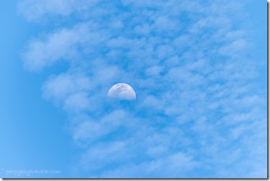
truckcamper moon Indian Bread Rocks BLM Bowie AZ

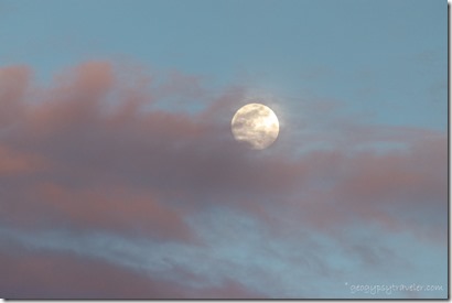
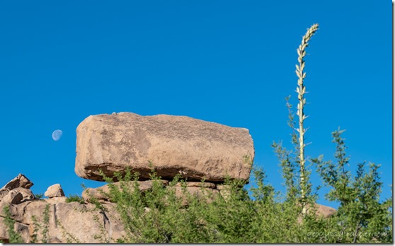
half moon clouds Indian Bread Rocks RA Bowie AZAnd I watched for the moon in anticipation of seeing it full rising over the boulders of Indian Bread Rocks.

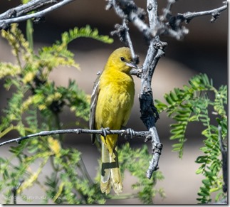
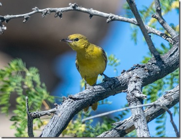
unidentified bird Indian Bread Rocks BLM Bowie AZunidentified bird Indian Bread Rocks BLM Bowie AZ

                                                      Possibly immature Orioles (feel free to chime in)

The mornings felt cool at 65° before climbing into the low to mid 80s.  My signal was good enough to post on the blog and with some patience load videos.  The first of May, and I was still sharing stories from March and April.
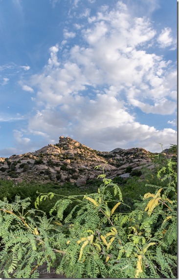
Mesquite boulders clouds Indian Bread Rocks BLM Bowie AZLater in the day under clouds it felt like a sultry Spring desert day, warm enough to be dressed for summer.  And even though I was in no hurry to leave Indian Bread Rocks, temperatures would rise into the 90s in another week or so. That meant I researched ahead to possible next destinations that included weather and boondocking options.  Maybe the Tonto National Forest and Roosevelt Lake.  Or Hwy 191, known as the Coronado Trail, north through the White Mountains with 460 curves. Paved all the way through the Apache-Sitgrieves National Forest sounded like my kind of road but possibly too much elevation and cold temperatures.
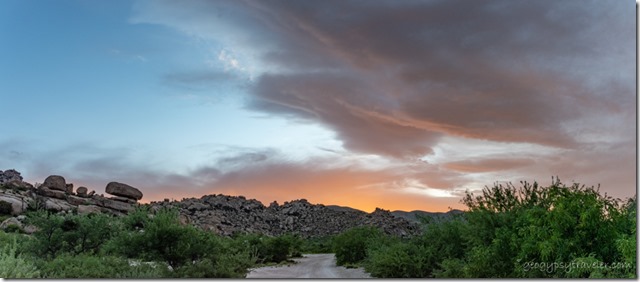
sunset clouds Indian Bread Rocks BLM Bowie AZ

sunset clouds Indian Bread Rocks BLM Bowie AZOnce again the evening light show was worthy of awe.
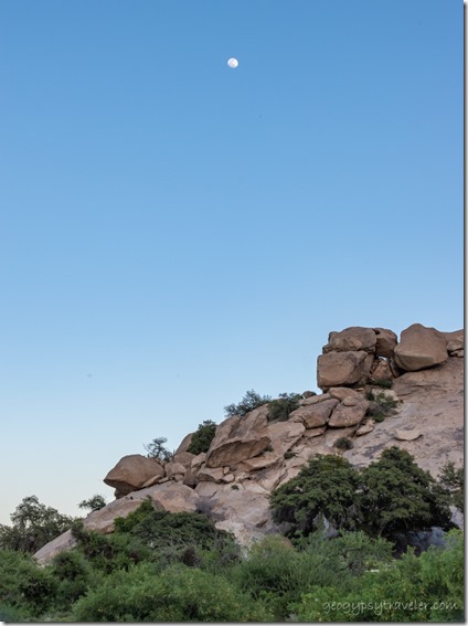
trees boulders moon Indian Bread Rocks RA BLM Bowie AZOn super windy days I stayed inside and worked on videos from Buenos Aires NWR back in April.  Still watching the moon.
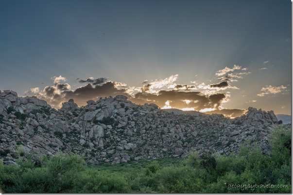
trees boulders Dos Cabezas Mts sunset clouds rays Indian Bread Rocks RA BLM Bowie AZI appreciated the wind keeping an 85° day comfortable.  After sunset the wind drops and the temperature does too.
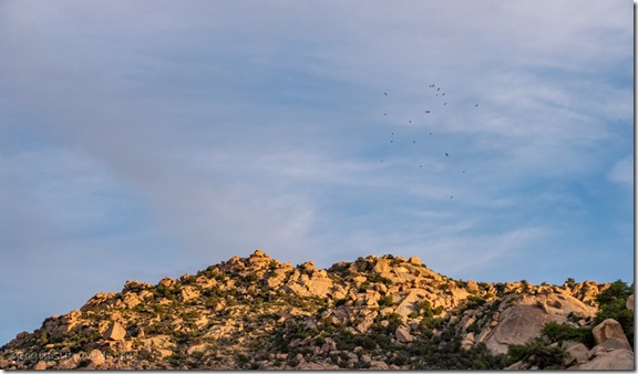
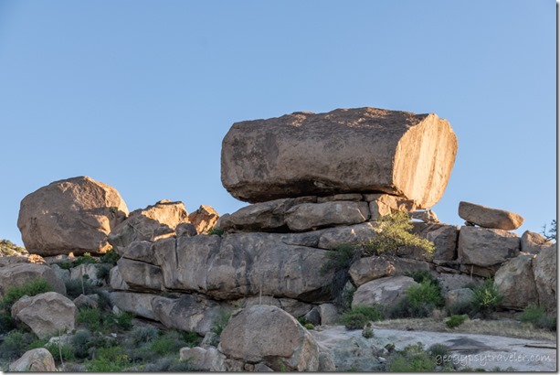
granite boulder Indian Bread Rocks RA BLM Bowie AZ

last light boulders Vultures kettling Indian Bread Rocks RA BLM Bowie AZI started seriously watching for the moon in anticipation of May’s full Flower moon.
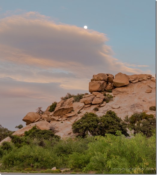
sunset clouds moon Indian Bread Rocks RA BLM Bowie AZ

bushes boulders sunset clouds moon Indian Bread Rocks RA BLM Bowie AZCould I catch it coming up over some boulders?  According to PhotoPills I could if I was near the Indian Bread Rocks day-use area.  Being parked next to that proved convenient, though it was never really busy even with multiple picnic tables, BBQs, and a drop-pit toilet.
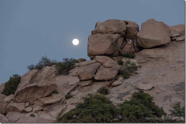
Dos Cabezas Mts sunset Indian Bread Rocks RA BLM Bowie AZ

late light view N Indian Bread Rocks RA BLM Bowie AZI hoped for no clouds.

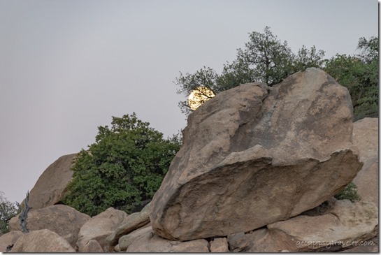
 boulders tree moon Indian Bread Rocks BLM Bowie AZ

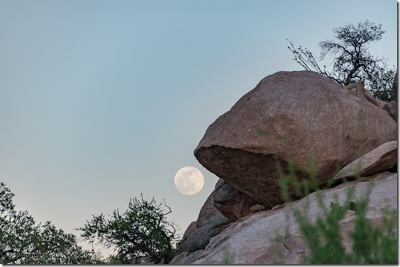
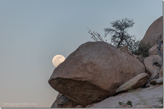
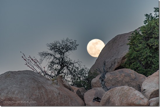
boulders tree moon Indian Bread Rocks BLM Bowie AZAnd got real lucky.

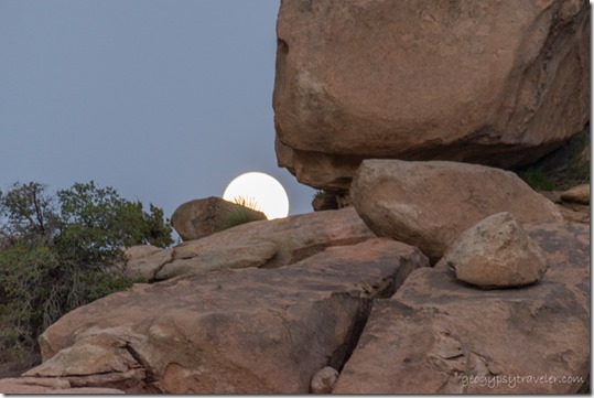
boulders tree moon Indian Bread Rocks BLM Bowie AZ

boulders tree moon Indian Bread Rocks BLM Bowie AZPhoto dump!

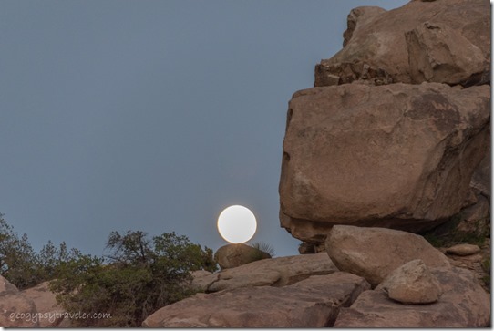
boulders tree moon Indian Bread Rocks BLM Bowie AZ

boulders tree moon Indian Bread Rocks BLM Bowie AZ

boulders tree moon Indian Bread Rocks BLM Bowie AZOnly a few of the too many I took.

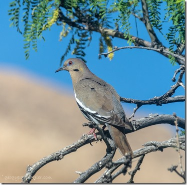
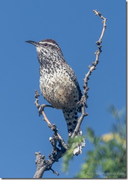
White-winged Dove bird Indian Bread Rocks BLM Bowie AZ Cactus Wren bird Indian Bread Rocks BLM Bowie AZ

                                           White-winged Dove                                                                                Cactus Wren

The next morning while processing the moon shots I was serenaded and distracted by birds.  No complaint.  Managed to upload a 360° camp view at Mittry Lake video that took over an hour.
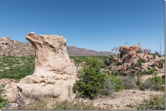
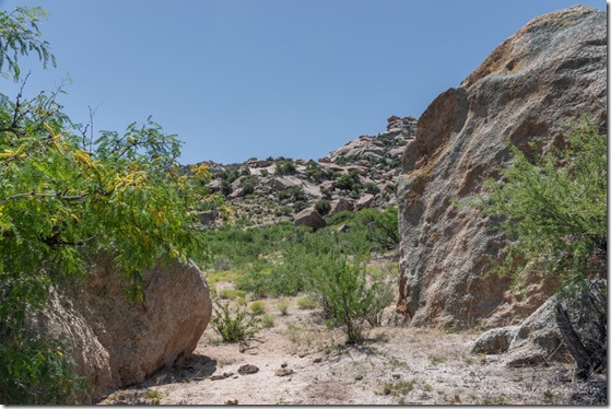
Boulder view W Indian Bread Rocks BLM Bowie AZThat afternoon, I decided it was finally time to walk into the boulders of Indian Bread Rocks.

desert boulders Indian Bread Rocks BLM Bowie AZ

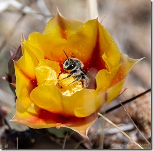
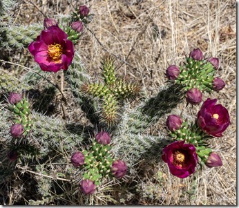
yellow cactus flower bee Indian Bread Rocks BLM Bowie AZred Cholla flowers Indian Bread Rocks BLM Bowie AZ

I followed the meandering cow trails while avoiding pies and saw cactus’ colorfully blooming.

trail boulders Indian Bread Rocks BLM Bowie AZ

agave Indian Bread Rocks BLM Bowie AZagave Indian Bread Rocks BLM Bowie AZ

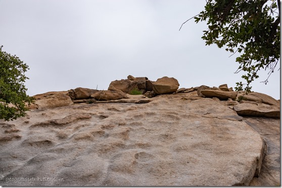
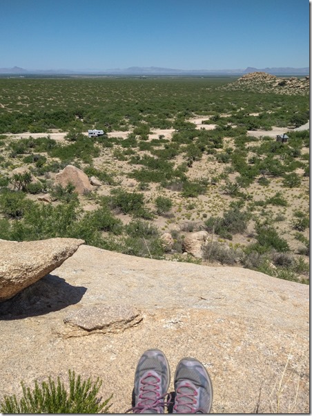
I just kept walking along and was surprised at the ease of getting almost to the top.
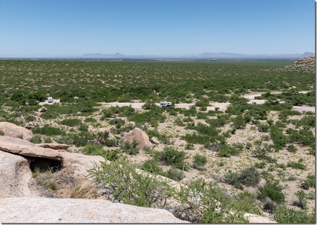
truckcamper below boulders Indian Bread Rocks BLM Bowie AZDidn’t actually climb boulders but did end up several hundred feet above camp.  See the truckcamper?
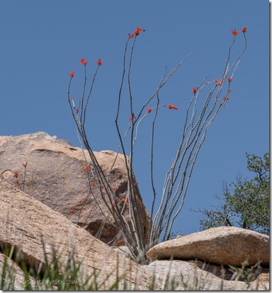
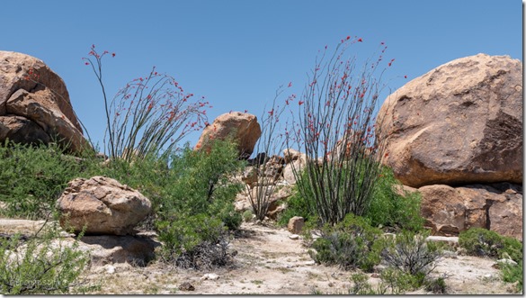
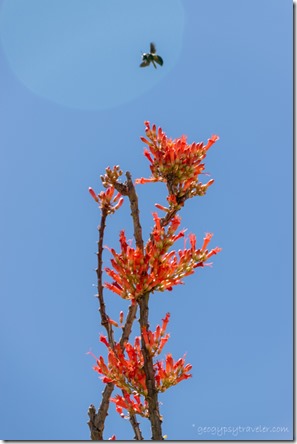
desert red Ocotillo flowers boulders Indian Bread Rocks BLM Bowie AZ

boulders red Ocotillo flowers Indian Bread Rocks BLM Bowie AZAnd I could have climbed higher.

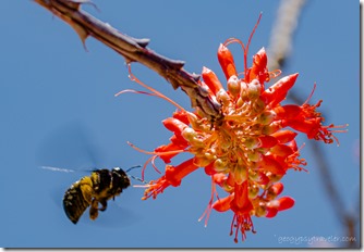
Carpenter bee red Ocotillo flowers Indian Bread Rocks BLM Bowie AZCarpenter Bee red Ocotillo flower Indian Bread Rocks BLM Bowie AZ

Large black Carpenter bees swarmed the blooming Ocotillo.
Gaelyn's boulder view N Indian Bread Rocks BLM Bowie AZ

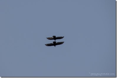
Raven pair soaring Indian Breaad Rocks BLM Bowie AZThe view northeast goes forever, even seeing I10 about five miles away, as the Ravens fly.  Gone almost two hours and walked just under half mile.  Guess Fit doesn’t count elevation.
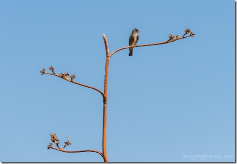
unidentified Flycatcher bird on Agave stalk Indian Bread Rocks BLM Bowie AZAfter all the photos and videos taken over several days I spent several more days processing and editing.  Sure glad for birdy distractions outside my window.  Finished Mittry Lake video and it took 4 1/2 hours to upload.
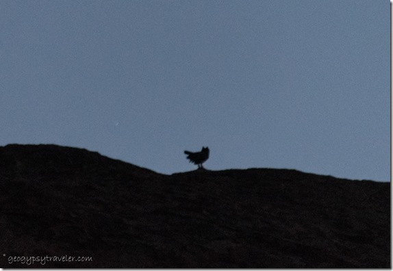
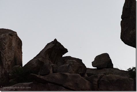
Great Horned owl on boulder Indian Bread Rocks BLM Bowie AZStrangest sighting occurred at dusk when something large, in flight, landed on the boulders, and I saw the silhouette of a Great Horned Owl.

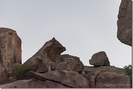
boulder shadows Indian Breaad Rocks BLM Bowie AZI see two bears

boulder shadows Indian Breaad Rocks BLM Bowie AZWhat do you see?

I put off leaving Indian Bread Rocks for a few more days but also started to make a plan for my next stop.  A cold front would keep me from going to the 11,000 foot White Mountains.  Nice thing about boondocking 1-2 weeks in a place is being part of the landscape unlike a short visit. And even that is often not long enough.
Agave boulders moon setting Indian Bread Rocks BLM Bowie AZ

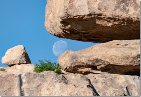
boulders moon set Inidan Bread Rocks BLM Bowie AZActually awake early enough to catch the setting moon.

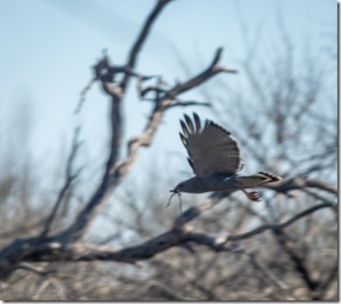
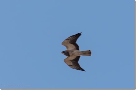
Black hawk soaring Indian Bread Rocks BLM Bowie AZBlack hawk soaring Indian Bread Rocks BLM Bowie AZ

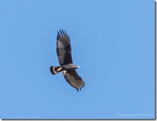
The rest of the day was birdy.  Black hawk was a lifer.

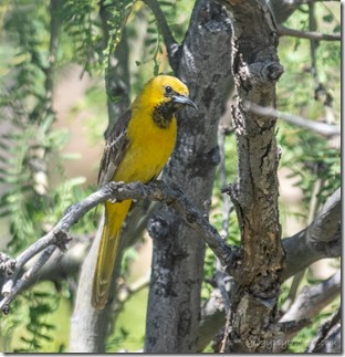
imm Oriole bird Indian Bread Rocks BLM Bowie AZimm Oriole bird Indian Bread Rocks BLM Bowie AZ

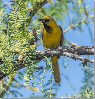
Took a while to identify this Scott’s Oriole as immature birds can be foolers.
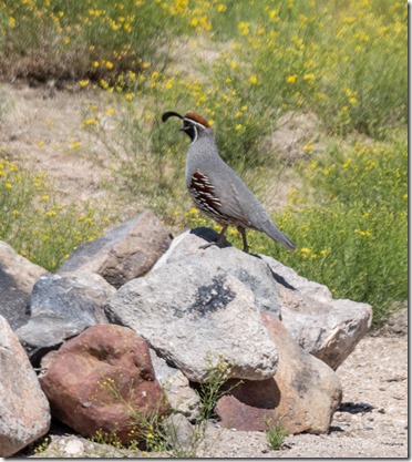
Gambel Quail bird Indian Bread Rocks BLM Bowie AZAlways nice to see Gamble Quail about though too early in the season for chicks.
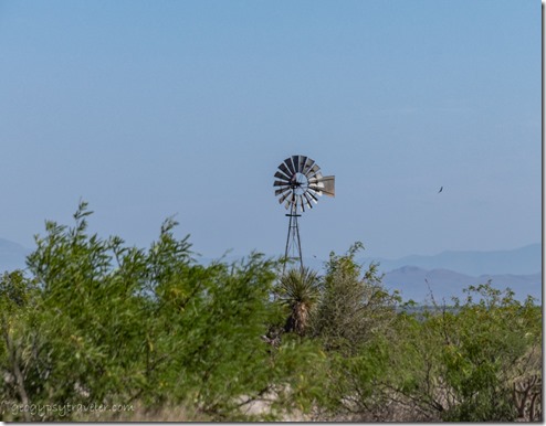
windmill Bowie AZThen, before I knew it, it was time to leave Indian Bread Rocks.  Not 100% sure of my next destination and still trying to catch up posting on the blog.

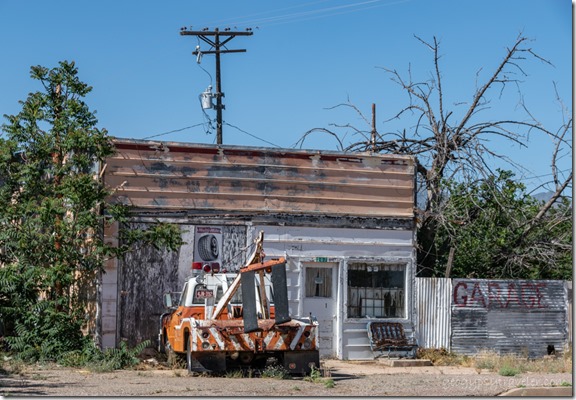
towtruck old garage Bowie AZ

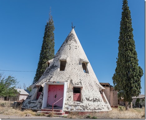
former Teepee Cafe Bowie AZTeePee Cafe

Made a quick stop in Bowie where everything is closed except the post office.
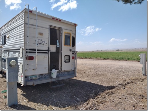
truckcamper Sunshine RV Park Safford AZThen headed north to Sunshine RV Park in Safford for the night to dump, fill, and take a much appreciated long hot shower, all for $25.  Appears lots of working folks live here but a nice quiet place and I had a good view.  In the morning I shopped, including that latch for the screen door, and continued on my journey.

Video of Indian Bread Rocks here.

If you’re wondering how I find these places, lots of apps for free/wild/dispersed camping/boondocking.  My recent favorite is iOverlander as it’s still free and shows what I need: propane, RV dump & potable water, free camping, campgrounds, and more.

Push my buttons!

  • Click to share on Facebook (Opens in new window) Facebook
  • Click to share on X (Opens in new window) X
  • Click to share on LinkedIn (Opens in new window) LinkedIn

Like this:

Like Loading...
Arizona, Indian Bread Rocks Rec Area, Indian Bread Rocks Rec Area, Places I've been, United States bird watching, BLM camping, boondocking, public land 15 Comments
02 May 2023

Crested Saguaros east to Buenos Aires NWR

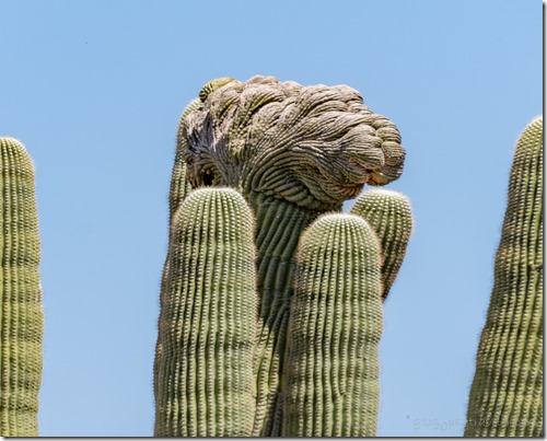
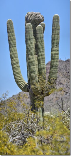
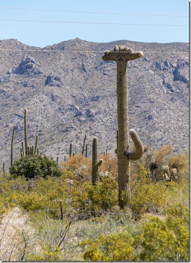
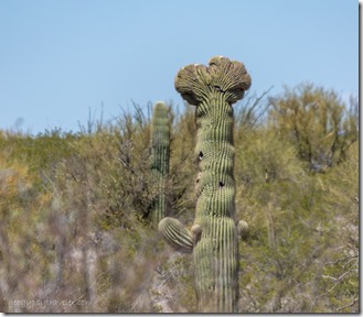
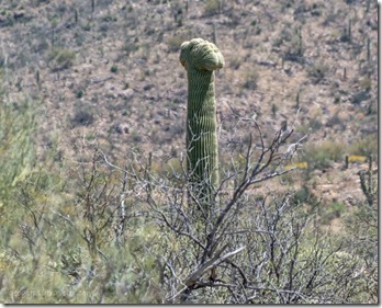
Cristate Saguaro mp108.35 SR86 Tohono O’Odam reservation AZDiscovered many cristates or crested Saguaros along the way to Buenos Aires NWR (National Wildlife Refuge).  I’m not ready to go “home” so am exploring new places while the temps in southeastern Arizona hold mostly below 90°.

It finally got too hot in the Sonoran Desert but I wasn’t ready to go home.  So after Easter weekend I left the Bates Well camp and headed east filled with breakfast from Granny’s in Why, going for higher elevation and cooler than 90° temperatures at the Buenos Aires NWR.
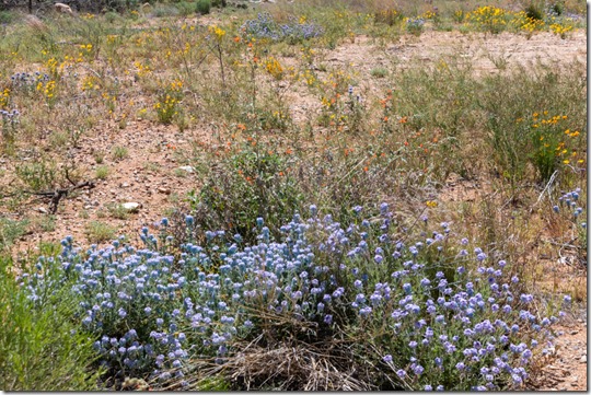
wildflowers SR86 E AZI also had a new to me two-lane highway to travel through the Tohono O’Odam reservation, SR86, with sights along the way including wildflowers.

Cristate Saguaro SR86 AZCristate Saguaro SR86 AZ

Kitt Pk SR86 AZ

crested Saguaro SR86 AZcrested Saguaro SR86 AZ

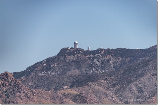
Richard sent me a list of mile markers for crested Saguaros and I found four out of five.  One sat below the Kitt Peak National Observatory which was currently closed to the public.  Besides, without camping at the top of that 6886 foot peak I wouldn’t want to drive up or down in the dark of night.
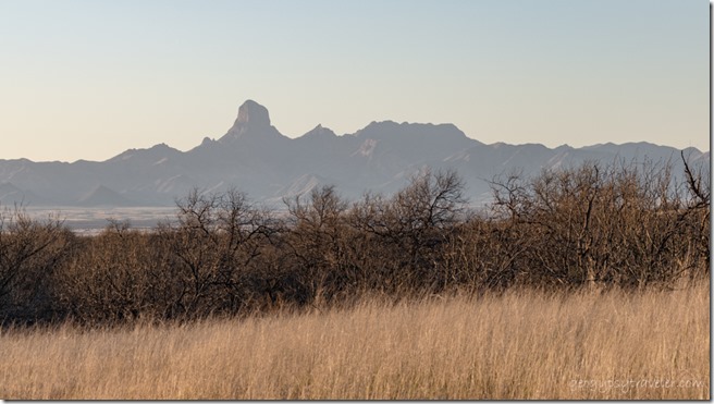
grass Mesquite Baboquirvari Pk Buenos Aires NWR Sasabe AZBaboquirvari Peak 7733 feet

Though I didn’t climb that high in elevation the landscape changed to a semidesert grassland with mesquite trees from 3200-5000 feet in Buenos Aires NWR.

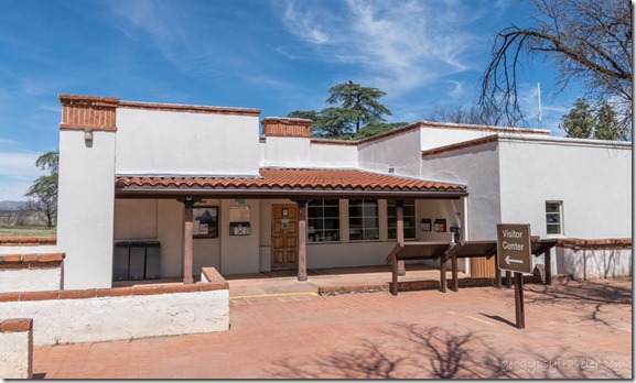
old ranch VC BANWR AZI drove south almost to the Mexican border to the visitor center located in the original ranch house built in the 1860s of adobe bricks covered with plaster.  I took video of the inside that will show up on my YouTube channel eventually.

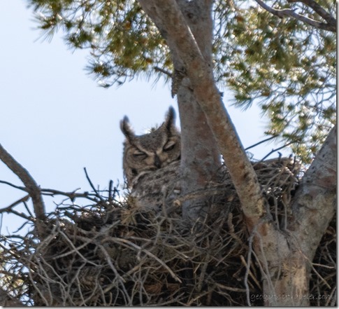
Great Horned Owl bird in nest Buenos Aires NWR Sasabe AZThe volunteer, Noel, not only knew the natural and cultural history but led me outside to a Great Horned Owl’s nest where we could see a pair of adult-sized ear tufts.

truckcamper #76 BAANWR Sasabel AZ

last light #76 BANWR AZI asked him to recommend a campsite either at elevation or with shade.  I didn’t have far to go and parked under some huge oaks along a dry wash in site #76, with absolutely no signal.  But that was OK as I had many photos from the day’s journey to go through and even processed a few for future posting.

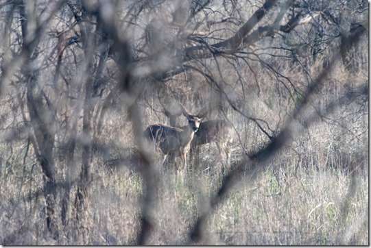
Mule deer thru trees from camper #76 BA NWR Sasable AZI spent the chilly morning writing a blog post in between my window wildlife views.  First being greeted by a small herd of Mule-deer less than 100 feet away.

Lucy's Warbler bird #76 BA NWR Sasable AZ

Redtailed Hawk in tree #76 BA NWR Sasable AZRedtailed Hawk in flight #76 BA NWR Sasable AZ

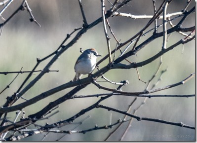
Small birds flitted in and out of nearby branches until a Red-tailed hawk came to roost.

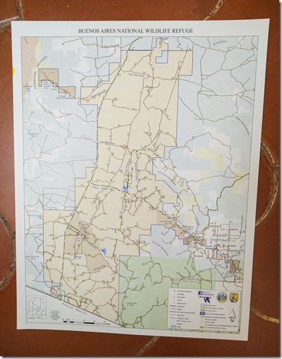
Blue dots on map mark camps, #76 south & #40 middle

map Buenos Aires NWR AZBy 10:30am I was headed back to the Buenos Aires NWR visitor center for better light on the owl but could barely see feathers.  I was the first person to the visitor center that morning.  The previous afternoon I was the 14th visitor.  I spoke quite a while with 3rd-winter volunteer Barb who plans to stay through the summer to experience monsoon.  WOW!  This awesome 83-year old lives in her 25 foot Airstream on the refuge.  We spoke at length about the natural history of these grasslands and their wildlife.

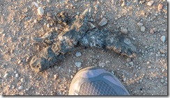
In 1864 Pedro Aquirre Jr created Buenos Ayres Ranch.  Over 100 years of overgrazing, erosion, and fire suppression, mesquite trees gained a foothold reducing habitat for native animals.  In 1985, US Fish & Wildlife bought the land and with later additions Buenos Aires NWR now protects 117,000 acres.  They now do prescribed burns and reduce the mesquite trees while reintroducing Desert pronghorn and protecting endangered bobwhite quail.  Over 325 species of birds are found on the refuge along with mule and white-tailed deer, javelina, coatimundi, ringtail cats, and mountain lion.  I saw scat from the last near both my camps.     Mt Lion scat Buenos Aires NWR Sasabe AZ

Barb recommended I stop at the nearby, small, human-made Triangle Pond to watch birds before driving to the High Gates Road in search of another designated dispersed campsite with a better possibility of signal.  I worked for US Fish and Wildlife in 1976/77 and saw the potential for more education and interpretation at their hatcheries and refuges along the Columbia River.  As a land management agency they really haven’t embraced that or advertised their locations, and now I am glad of that as they are not so crowded.

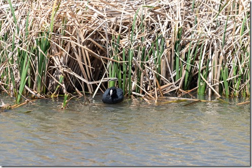
Coot bird reeds Triangle Pond BA NWR Sasabe AZI spent an hour by myself sitting in my bird-hide/truck along Triangle Pond watching birds.  Dark black Coots spent so much time diving they would be almost invisible without their contrasting white beak.

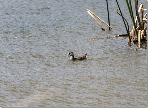
Sora Rail bird Triangle Pond BA NWR Sasabe AZThe large bright yellow beak on what looked like a duck confused me until I dug out the field guide and discovered the Sora Rail, a lifer.

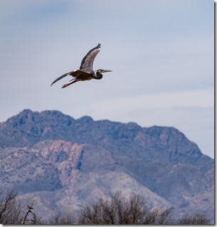
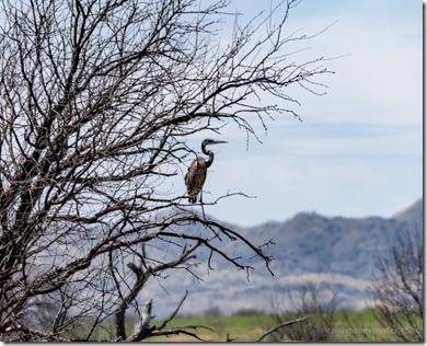
Heron in flight Triangle Pond BA NWR Sasabe AZHeron in tree Triangle Pond BA NWR Sasabe AZ

No surprise to see Blue Herons around but I think they look gangly landing in trees.

Grackle bird reeds Triangle Pond BA NWR Sasabe AZI saw many Grackles at Mittry Lake, and here too.

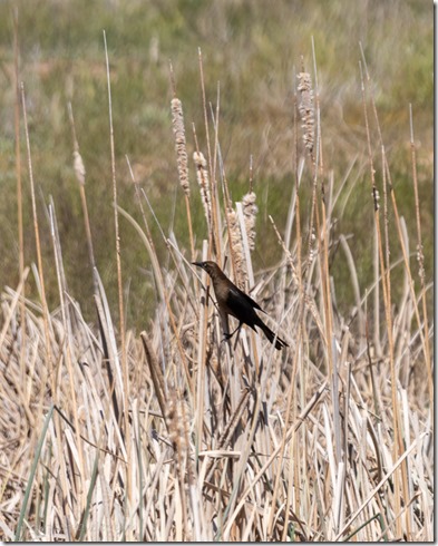
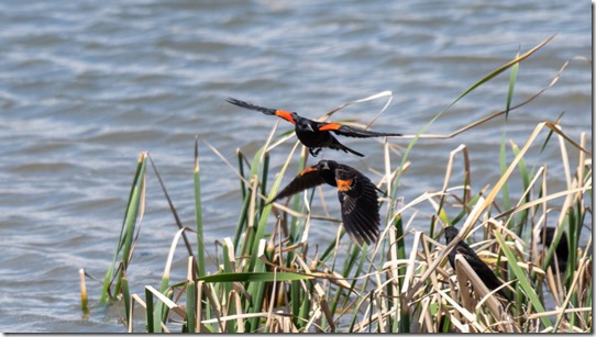
Redwing Blackbirds Triangle Pond BA NWR Sasabe AZMy happiest sighting was the Redwing Blackbirds because I grew up watching them in wetlands, and those are few in Arizona.

tree sunset clouds #40 BA NWR Sasabe AZ

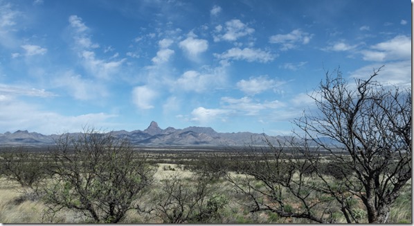
trees mts sunset clouds #40 BA NWR Sasabe AZI chose site #40 up on a little ridge in the Altar Valley with views of the Baboquivari Mountains to the west and Las Guijas Mountains to the east, and even had a signal.

trees mts sunset clouds #40 BA NWR Sasabe AZ

trees sunset clouds #40 BA NWR Sasabe AZA 360° sunset confirmed my site choice.

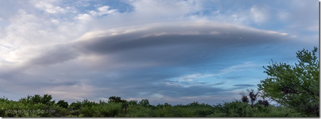
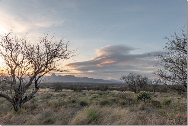
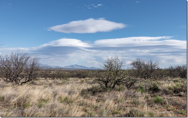
Lenticular clouds #40 Buenos Aires NWR Sasabe AZThe next day’s wind blew in lenticular clouds and kept me inside watching the light and shadow change colors on the land.  Perfect because I needed a down day to observe my new viewshed.

grass Mesquite trees Baboquivari Mts clouds #40 Buenos Aires NWR Sasabe AZAnd edit video from a few weeks previous at my Darby Well camp.  I take about an hour per finished minute to edit videos that run from :15 to 25:00 minutes to start.

Swainson's Hawk bird soaring #40 Buenos Aires NWR Sasabe AZOnly one vehicle went past all day, and what might be a Swainson’s hawk, feel free to correct me.

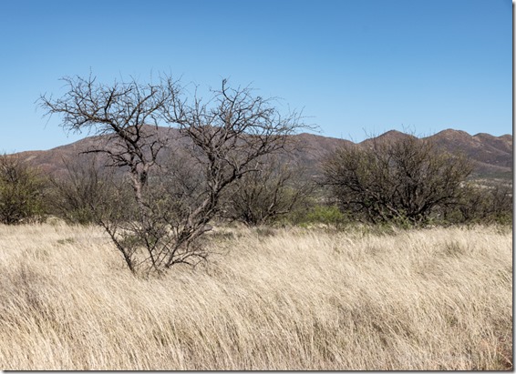
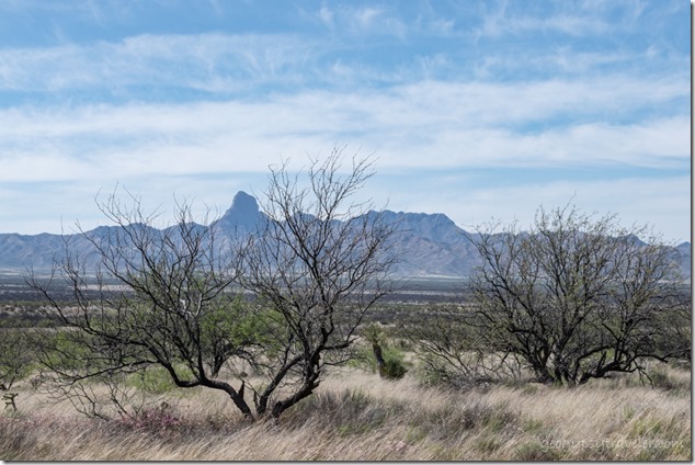
grass Mesquite trees Guijas Mts High Gates Rd Buenos Aires NWR Sasabe AZIn the morning I finished the Darby Well camp video, even though I was sitting in Buenos Aires NWR.  Sometimes I confuse myself.  Good way to clear my head is go for a walk.  I never have to go far to be gone for sometimes hours.  I moseyed north on the High Gates Road passing two other designated campsites within less than half a mile and out of sight of each other, all large with fire rings.  The Mesquite barely showed small green leaves so their skeletal shape was distinct.

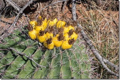
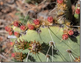
yellow fruit Barrel cactus High Gates Rd Buenos Aires NWR Sasabe AZPrickly Pear cactus buds High Gates Rd Buenos Aires NWR Sasabe AZ

                                                         Barrel                                                                                             Prickly Pear

Cactus were in various stages of bud and fruit.  I picked one of the fruits and took video removing the millions of poppyseed-sized seeds out to taste the rather lacking fruit.  May not be ripe yet.

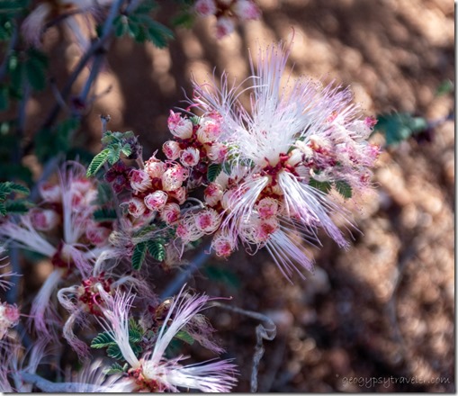
Pink Fairyduster flowers High Gates Rd Buenos Aires NWR Sasabe AZFairyduster

Two vehicles went by, busy Friday.

Weekends are a time to stay put, not travel.  It’s also a good time to look ahead, for me that’s not more than about a week.  I made a plan to visit a friend in Bisbee the next weekend.  So I looked at a map for route according to what’s to see along the way.

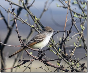
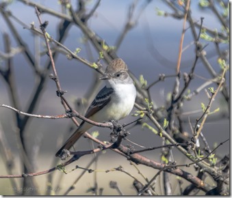
Ash-throated Flycatcher bird #40 BANWR Sasabe AZAsh-throated Flycatcher bird #40 BANWR Sasabe AZ

                                                                                          Ash-throated Flycatcher

I watched birds because that’s what you do at Buenos Aires NWR.  And because I would be busy for the week edited and scheduled a trail-cam video of the coyotes in my Darby Well camp.

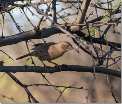
Curve-billed Thrasher bird #40 BANWR Sasabe AZCurved-bill Thrasher

Truck towing a trailer with one horse went by this morning and two more rigs in the afternoon. Damn freeway.

Morning can start at a cool 50° headed to a high of 80°.  That’s not hot but my temperature rises thinking I’m so organized but got flustered when I couldn’t find the Old US 80 videos.  I spent wasted the morning doing computer housekeeping.  Finally feeling blind and fatigued, I went outside into the shade to relax and read.  A bicycle rider went by, later a side-by-side playing loud polka music and kicking up dust.

Mesquite tree frame Baboquivari PK sunset clouds #40 High Gates Rd BANWR Sasabe AZ

grass Mesquite tree frame Baboquivari PK sunset clouds #40 High Gates Rd BANWR Sasabe AZHelicopter flew very low over the ridgeline above camp just before the gorgeous sunset.

truckcamper sunset clouds #40 High Gates Rd BANWR Sasabe AZLife is good at camp Buenos Aires NWR.  However, I paid a price for sitting outside, in shorts, because tiny black flies of some sort bit the shit out of my lower legs.  I welted to dime-size from every bite, and even with cortisone creme itched all night.

Black-throated Sparrow bird #40 High Gates Rd BANWR Sasabe AZBlack-throated Sparrow

Must need more birds around here to eat the bugs.

In the morning, windows and door open, something sweet in the air.  Ah, the scent of Buenos Aires NWR.  Except for itching, I happily stayed inside working on blog posts, photos, and videos.  Planning the next leg of this journey, researching online because I could.

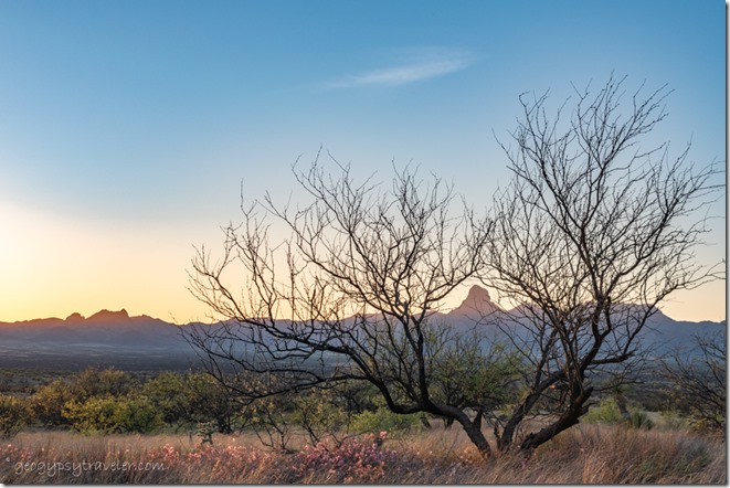
grass pink Fairyduster flowers Mesquite tree frame Baboquivari PK sunset clouds #40 High Gates Rd BANWR Sasabe AZPlus I made it out for another sunset shot of Baboquivari Peak framed in a Mesquite tree with the soft light of Fairdusters at its feet.

grass Mesquite trees Baboquivari Mts clouds #40 Buenos Aires NWR Sasabe AZI stayed through Tuesday, absorbing my little part of Buenos Aires NWR.  I could have seen more by driving to other parts of the refuge but will leave that until next time.

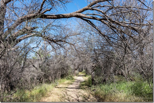
Mesquite trees Arivaca Crk trl BANWR AZYet in the morning I continued east making a stop at Arivaca Creek trail.

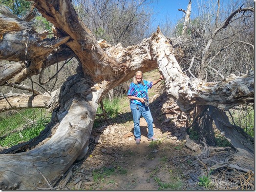
Gaelyn Arivaca Crk trl BANWR AZSadly no water to nourish the towering Cottonwood trees and riparian area.  I did meet two wonderful “local” ladies along the trail.

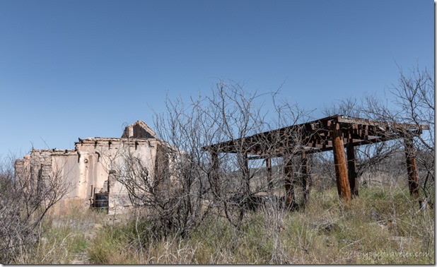
Cruz ranch ruins Arivaca Crk trl BANWR AZWandering off the main path lead to the old Cruze ranch (according to the ladies) but I couldn’t find any more information.  The arbor, walkways, and shop/barn looked stout built.

Cruze ranch ruins Arivaca Crk trl BANWR AZ

window Cruze ranch ruins Arivaca Crk trl BANWR AZCruze ranch ruins Arivaca Crk trl BANWR AZ

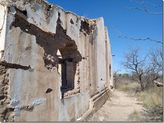
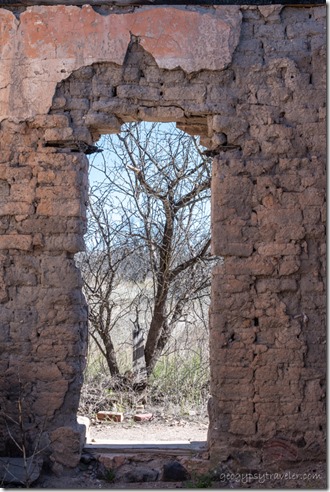
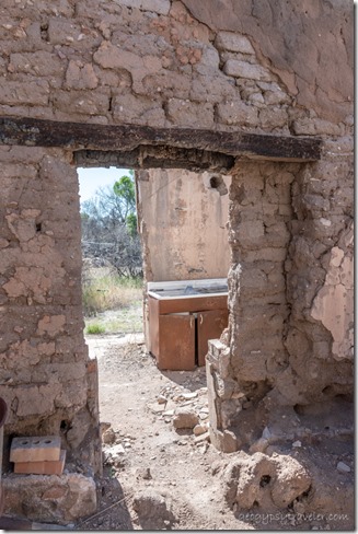
Though quite deteriorated, the house appeared to be a decent sized 3-room adobe-mud brick covered with limestone plaster that had seen fire as all the wood lintels and roof were burned.  There was evidence of electricity and piped in water.

grass Mesquite tree Baboquivari Mts sunset clouds #40 High Gates Rd BANWR Sasabe AZOne more Buenos Aires NWR sunset

I left there about 10:30am and driving the slow rolling hills and curves at mostly 35mph it took me two hours to get to Tubac and Interstate 19 where I headed south to my next stop for the day.

Push my buttons!

  • Click to share on Facebook (Opens in new window) Facebook
  • Click to share on X (Opens in new window) X
  • Click to share on LinkedIn (Opens in new window) LinkedIn

Like this:

Like Loading...
Arizona, Buenos Aires NWR, Places I've been, United States abandoned ranches, bird watching, boondocking 23 Comments
18 April 2023

Boondocking and birds at Mittry Lake

last light tall grass lake Mittry Lake Yuma AZLeft the Sonoran Desert on my birthday, March 26, spent one night at Owl, and then Yuma before heading to Mittry Lake.  I am excited to be boondocking by water!

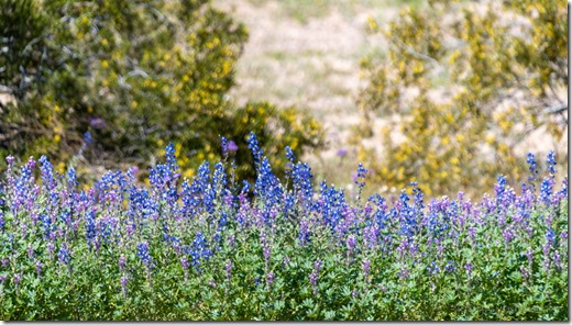
Lupine & creosote flowers SR85 AZLupine along SR85

After two weeks boondocking on the Sonoran Desert, and five months without a water fix, I decided it was time for a change, like Mittry Lake.  As I was packing to roll, the door to the camper wouldn’t open.  There’s been problems with this 27-year old rig and the sagging door is only one.  Finally managed to pry the door open and then took a piece off the bottom of the frame, and viola, now it opens and closes.  Sometimes I amaze myself.  I even took a short video.

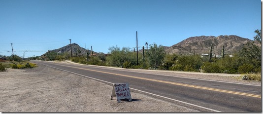
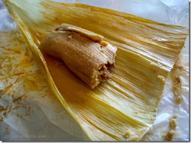
sign Tamales for Sale SR85 Ajo AZDriving through Ajo I saw a sign for home-made tamales for sale and hit the brakes.  Oh yum.  Bought six pork with red sauce for $20.  If you think that’s expensive, you’ve never made tamales.  Years ago I helped make traditional Christmas tamales and now I understand.

tamaleI popped right into the camper and enjoyed a delicious tamale birthday brunch.

Hist80 Owl AZThen drove north about an hour to Gila Bend to dump and fill tanks for free before hitting Interstate 8 west for a familiar one night stop below the Mohawk Mountains.

last light Hist80 Owl AZSpent the afternoon replying to birthday wishes online.  Thank you all.  Oh so nice sitting below a tower and having great signal with a beautiful view.

Mohawk Mts sunset Hist80 Owl AZ

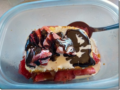
strawberry shortcakeAnd enjoying the evening light before my favorite pizza dinner and strawberry shortcake for desert.

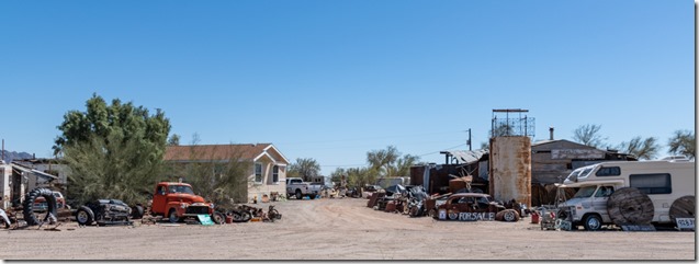
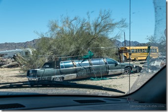
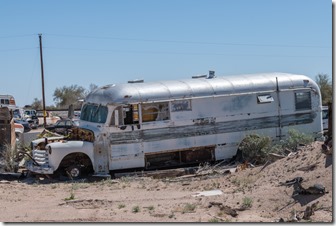
wrecking yard Owl AZLeaving camp in the morning I decided to drive the Historic 80 west—at least as far as I could—towards Yuma.  And I finally got to see Owl, Arizona, or at least what’s left of it.

wrecking yard Owl AZold bus wrecking yard Owl AZ

This wrecking yard is loaded with old RVs, trucks, buses, and cars.  I only parked on the shoulder to take photos but will keep it in mind for parts.  Sadly I didn’t see any slide-in campers like mine.

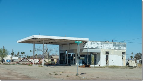
abandoned gas station Hist 80 Tacna AZTacna AZ

I continued west at a comfortable 55mph, barely any traffic, and better pavement than the within sight interstate.  I need to backroad more often as I really dislike the pressure of driving interstates.  Colfred, Tacna, Noah, Asher—mostly a few abandoned buildings with lots of farmland—and Wellton where I stopped at a small RV Park for the best price seen for propane.  Another few miles to Ligurta and no choice but return to interstate for the last mountain pass west into Imperial Valley and the Yuma sprawl.

The slow road put me behind getting to Yuma where I shopped at Wally’s and finally got to Joann’s by 1pm.  She had lunch made, chicken, green beans, and salad.  But the best part, she made me fudge for my birthday, lots of fudge, months worth of fudge.  Took a shower and while doing laundry we watched an interesting documentary about owls.

sunset VFW-BLM Yuma AZWas getting too late in the afternoon to look for a campsite at the unfamiliar Mittry Lake so I spent the night at the VFW-BLM and it’s a little less crowded in March but still noisy.

After a few more chores in town I took a slow drive north on Laguna Dam Road in search of a camp near water at Mittry Lake.  Twenty-six years ago I learned about boondocking here while caravanning with another nomad.  Earlier this winter, Joann and I drove out to the lake.

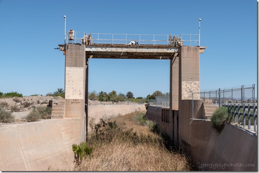
sluiceway gate irg canal Yuma AZI stopped at the historic sluiceway gate used to hold back silt and built by the Bureau of Reclamation after the 1909 completion of the Laguna Dam. Water diverted from the Colorado River is used for agricultural irrigation in Yuma.  If you eat greens in the USA, they likely came from Yuma.

After nine miles the pavement ends and the gravel road is doable even for a small car.  I followed the shoreline of Mittry Lake and saw a few choice camps right on the water, all full and also right along the road.  There are day use areas, a boat launch, a few gravel two tracks going uphill away from Mittry Lake, and a parking lot camp.  None of those appealed to me.  So I kept on driving and took video along the way.

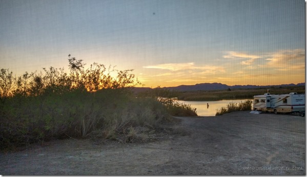
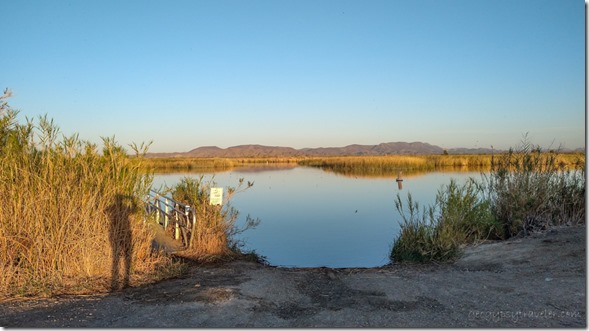
Mittry Lake Yuma AZAfter three miles of gravel I found another boat launch including a dock for small fishing boats and kayaks, and a handful of boondockers respectfully spaced apart.  Perfect.

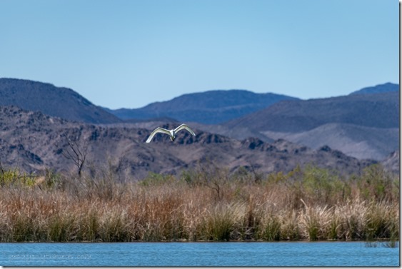
Egret bird in flight Mittry Lake Yuma AZAlmost immediately I saw an Egret in flight.

Great-tailed Grackle birds on tree Mittry Lake Yuma AZ

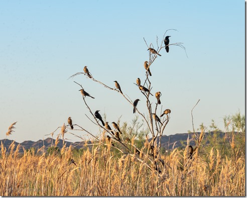
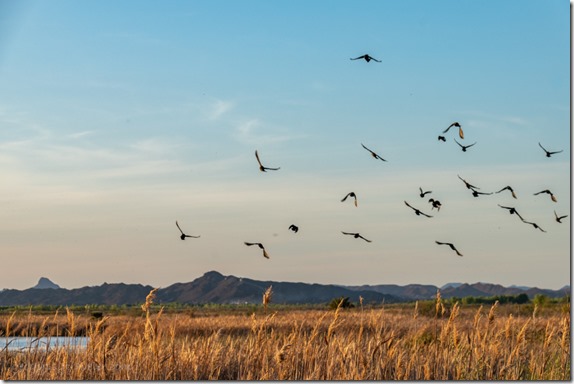
Great-tailed Grackle birds in flight Mittry Lake Yuma AZLater when out for an evening walk I saw a plague/group of Great-tailed Grackles roosting and soaring.

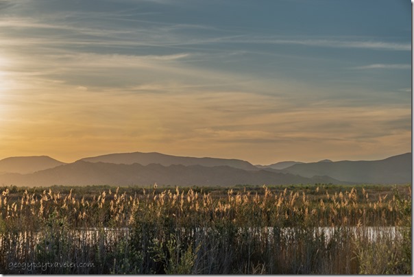
last light grasses water mts clouds Mittry Lake Yuma AZ

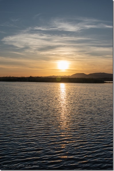
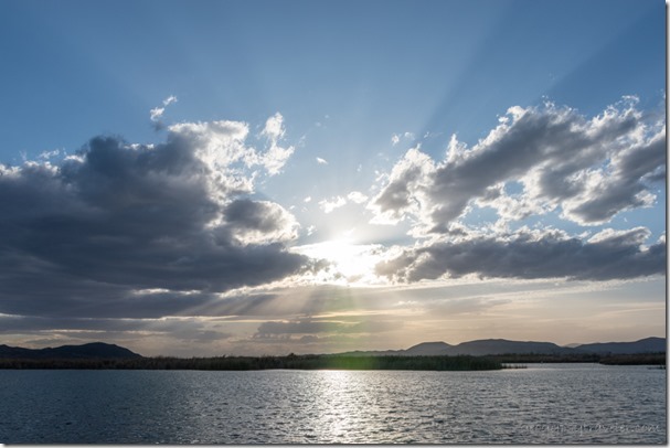
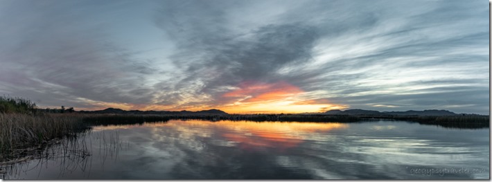
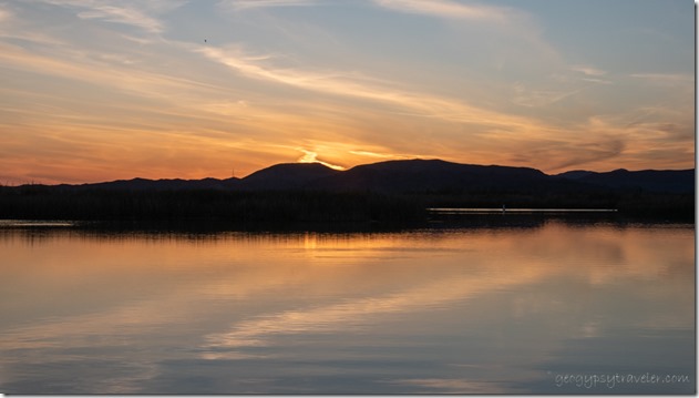
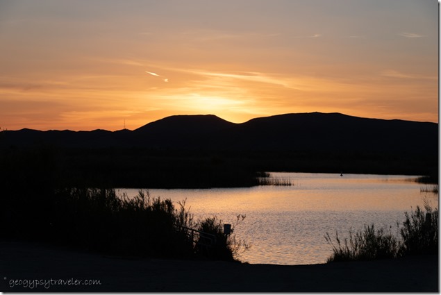
sunset clouds Mittry Lake Yuma AZHow special to watch a reflection at sunset on Mittry Lake.

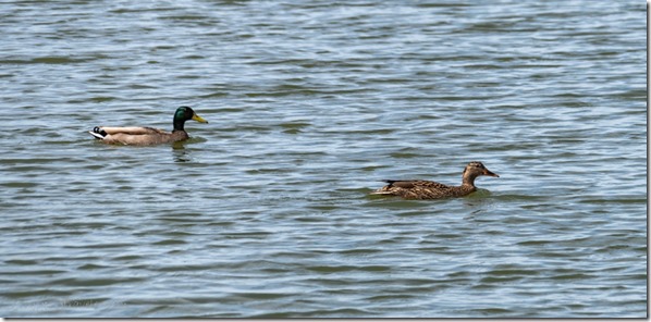
Mallard ducks water Mittry Lake Yuma AZ

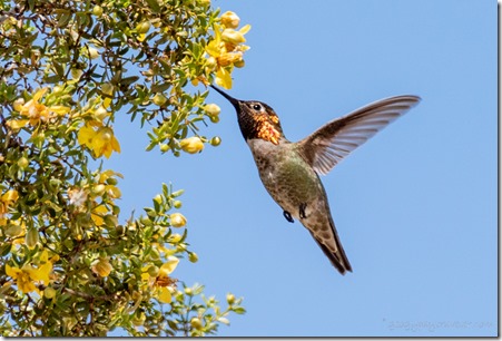
Anna's hummingbird yellow flowering creosote bush Mittry Lake Yuma AZ

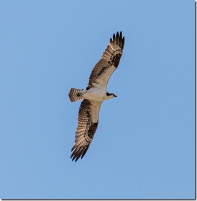
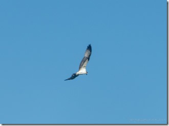
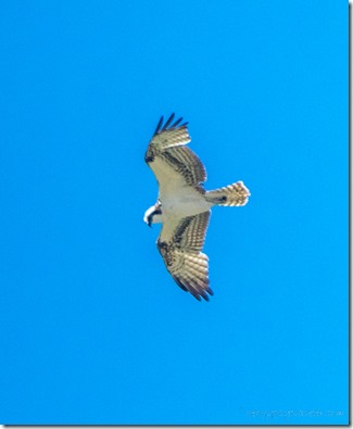
Osprey bird soaring Mittry Lake Yuma AZYou know while boondocking near the Cargo Muchacho Mountains this winter I was missing birds and fortunately I saw some birds later in the Sonoran Desert.  Mallards and Coots swimming, hummingbirds hanging out with flowering creosote, and all the time Osprey soaring over Mittry Lake in the hopes of spotting and catching a fish.  Only saw one drop and splash once but I wasn’t fast enough to get photos.

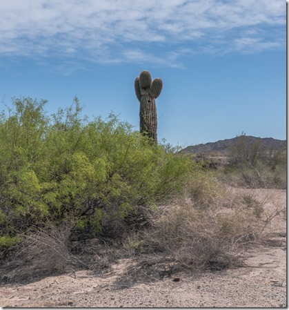
Saguaro Mittry Lake Yuma AZTook a walk to the only Saguaro within sight through desert of Palo Verde, Mesquite and giant creosote.

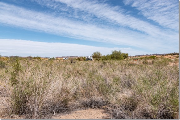
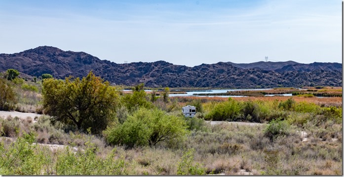
camp from walk Mittry Lake Yuma AZSuch a crazy contrast seeing desert plants next to so much water.  Mittry Lake is actually a 600 acre section of the Colorado River entrapped between the Imperial and Laguna dams.

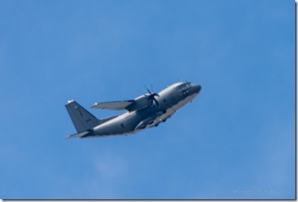
military plane Mittry Lake Yuma AZIt’s also adjacent to the Yuma Proving Grounds so silence is sometimes broken by military planes, jets, and helicopters.

lake clouds sunset crepuscular rays Mittry Lake Yuma AZ

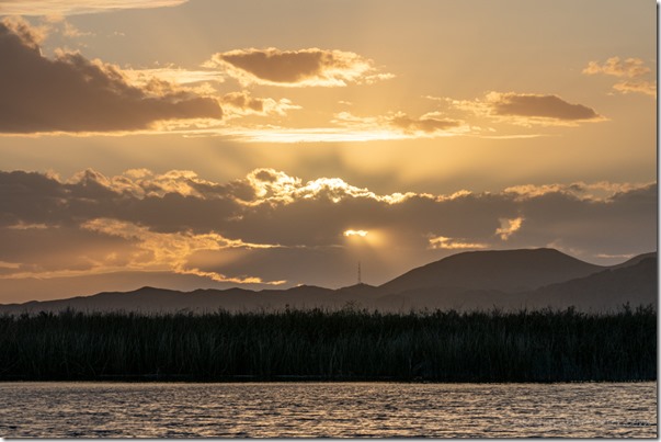
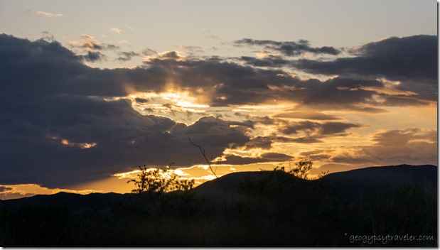
lake marsh mts sunsest clouds rays Mittry Lake Yuma AZEvery night a fabulous sunset show.

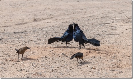
Great-tailed Grackle birds posturing Mittry Lake Yuma AZA windy day made 67° feel chilly so I stayed inside working on a video about the drive from Organ Pipe Cactus to my Sonoran Desert camp.  Towers in three distant directions kept the signal strong.  I also watched out the window while two male Grackles postured and the females ignored them and ate ants.

window sunset clouds Mittry Lake Yuma AZAnd didn’t even get outside for sunset.

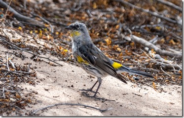
Osprey bird soaring Mittry Lake Yuma AZimm Yellow-rumped Warbler bird Mittry Lake Yuma AZ

                                           Osprey                                                                                Maybe Yellow-rumped Warbler         

The next day was calm and at 74° I moved a chair around my truck between sun and shade watching birds between book chapters.

reflection sunset clouds Mittry Lake Yuma AZEven stayed calm for a magnificent reflected sunset on Mittry Lake.

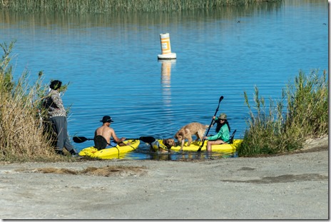
people dogs kayaks Mittry Lake Yuma AZWeekend had one neighbor leaving, and so I took their space just a little closer to Mittry Lake.  Also more traffic with people launching small fishing boats and lots of kayaks.  I don’t fish but was told by neighbor Eric from Canada who had a small boat at the dock people caught mostly Bluegill and Bass, though he hadn’t any luck catching anything.  Several tent campers arrived and the couple, Mark and Alice, nearest me had rather loud voices.  I was entertained with their obvious newbie antics.  This is one of the most social places I’ve camped all winter and I learned just about everybody’s name.

sunset window view Mittry Lake Yuma AZJoann came by Saturday afternoon and we sat outside chatting away, which means I didn’t take photos until sunset.

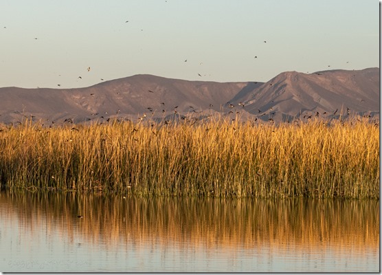
Swallow birds murmur reeds mts Mittry Lake Yuma AZMonday morning I woke in time for a calm sunrise and got down to the water in time to catch the murmur of Swallows.

dusty view Mittry Lake Yuma AZ

dusty view Mittry Lake Yuma AZLater the wind kicked in and blew dust that obscured the not so distant mountain views.

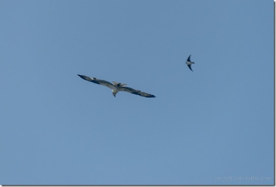
Osprey & Swallow birds soaring Mittry Lake Yuma AZDidn’t stop the Osprey, or the Swallow giving chase.

Gaelyn shadow on reeds Mittry Lake Yuma AZThen cleared in time for sunset.

Osprey bird soaring Mittry Lake Yuma AZFollowed by another day of high wind, with no dust, that rocked the camper and kept me inside again.  I was undecided about my next move.  Temperatures in the Yuma area would soon reach the high 90s headed to 100°.  I contemplated going north to Kofa for the full moon and then home to Skull Valley.  But honestly, I’m not ready to go “home” yet.

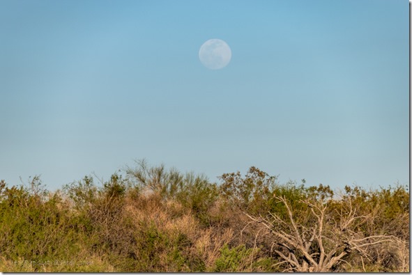
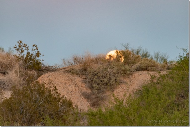
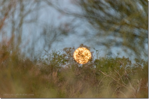
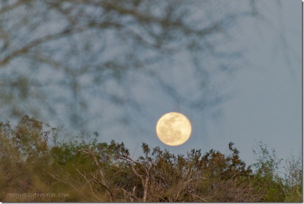
brush moon Mittry Lake Yuma AZDid make it outside after the moon had broke horizon.

reflection mts sunset clouds Mittry Lake Yuma AZPlus caught another reflective sunset.

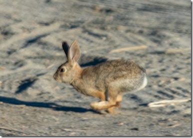
Cottontail rabbit running Mittry Lake Yuma AZWednesday morning I woke up cold to 43°.  Crazy weather.  Here I am worried about moving out of high heat.  I look out the window and see a Cottontail only a few days early for Easter.

Laguna Dam Rd & Gila Main Canal Mittry Lake Yuma AZ

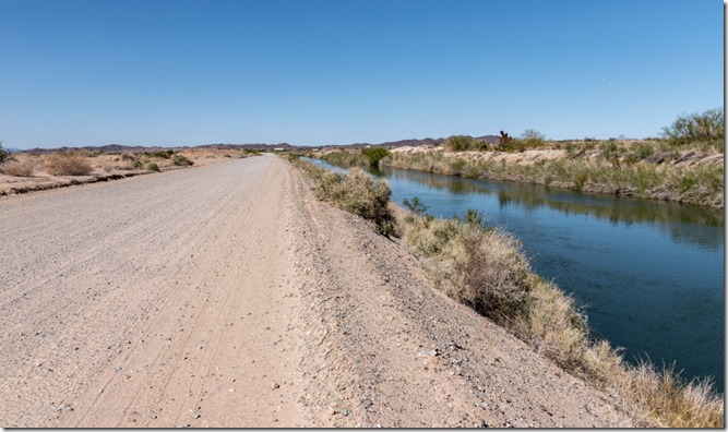
camper Mittry Lake Yuma AZIn the afternoon I took a walk along the nearby Laguna Dam Road that runs parallel to the Gila Main canal and Mittry Lake.  The water runs swift and cold.

full moon rise Mittry Lake Yuma AZ

full moon rise Mittry Lake Yuma AZ

full moon rise Mittry Lake Yuma AZThat night I caught the moon best I could.

sunset Mittry Lake Yuma AZJust around sunset.

Ground squirrel Mittry Lake Yuma AZLife really is a balancing act.  And so I move on from Mittry Lake.

Push my buttons!

  • Click to share on Facebook (Opens in new window) Facebook
  • Click to share on X (Opens in new window) X
  • Click to share on LinkedIn (Opens in new window) LinkedIn

Like this:

Like Loading...
Arizona, Mittry Lake, Places I've been, United States, Yuma bird watching, birthday, boondocking, full moon, sunsets 15 Comments
← Older posts

Hi, I’m Gaelyn, the Geogypsy

I retired after 29 summer seasons as a Park Ranger, traveling solo for 40+ years. My passions include travel, connecting to nature, photography, and sharing stories.

I started exploring US National Parks in 1977 and 20 years later became a seasonal Park Ranger.  I’ve lived full-time in a RV for 30 years working summers and playing winters.  I’m still trying to figure out what I want to be when I grow old, other than grow up.

Let’s share our stories.  Here’s more of mine…

My wheeleastate

I am currently…

…boondocking somewhere in southern Arizona.  In the area, give a shout.

Geogypsytraveler on YouTube

Follow my journey on YouTube. Just click the pic. Hope you’ll like, share, and subscribe.

Click image for 7 minute documentary (Password “geogypsy” lowercase)

Making the Gypsy documentary is a story of its own.  Click below for the rest of the story.

Living nomadically & connecting to nature documentary

Subscribe to Blog via Email

Enter your email address to subscribe to this blog and receive notifications of new posts by email.

Photos available for sale include prints, greeting cards, coffee mugs, tote bags, phone cases and more

Reflected Wave 24X16 metal print under $100

Custom Coffee Mugs

Many items to choose from including prints

The Last Blast 24 x 16″ metal print under $100

Need a signal boost? When I boondock on public lands sometimes signal is weak or intermittent and a booster helps. Click the pic to visit WeBoost.

Connecting to nature and the rest of the world too.

Please contact me for photo purchases not seen at GLOlmsted Photography

Order fulfillment is by Fine Art America. If you’re not happy with your purchase, for any reason, simply return it within 30 days, and you’ll receive a full refund of the purchase price.

Why read Geogypsy?

The gypsy life spring-summer 1998 - "You were a real pioneer. RV'ing before it was cool." ...Yogi

How do you process photos? - “Your photographs create an Emotional feeling in the viewer...that they become One with You.” …Cindy

Life’s transitions between travel and work play - "I know you love your job as much as you love travel -- it shines through all your posts." ...Sallie

Lions at Kruger National Park - “Wonderful post, thank you. I was hooked start to finish!” … Peter B

11 lessons looking back 2013 - “A great post -- made me think, made me smile, made me want to cry." ...Sallie

Wildlife video Kruger National Park - “Gorgeous, this makes me want to go straight to South Africa now.” … Ayngelina

Living nomadically & connecting to nature documentary - “What an experience you had and gave to the "crew." Sometimes I think you don't realize how unique and inspiring you are.” …Alan

Search

Popular Posts

1. Prioritize the well-being of nature over photography. 2. Educate yourself about the places you photograph. 3. Reflect on the possible impact of your actions. 4. Use discretion if sharing locations. 5. Know and follow rules and regulations. 6. Always follow Leave No Trace principles and strive to leave places better than you found them. 7. Actively promote and educate others about these principles

Categories

Archives

Sites I follow, read & recommend

  • A Full-time Life
  • A Yankee in Belgrade
  • Bob's Eyes
  • Box Canyon Blog
  • Camels and Chocolate
  • Dawns bloggy blog
  • In the Direction of Our Dreams
  • Jane in her infinite wisdom
  • Janie and Steve, Utah Trails
  • Kathie's Birds
  • Las Adventuras
  • Memorable Meanders
  • Oh, The Places They Go
  • On the Road Abode
  • Port Elizabeth Daily Photo
  • Stillhowlyntravels
  • Take to the Highway
  • Technomadia
  • the good luck Duck
  • Travel with the Bayfield Bunch
  • Wandering Earl
  • Wheeling It
  • Yogi's Den

Caught in a Slot 9×12 canvas print under $50

If you don’t like what’s going on in your government, contact your Congress

Directory of Senators

Directory of Representatives

Lijit

© Copyright 2008-2024. Geogypsytraveler.com
%d