• Home
  • About Geogypsy
    • Herstory
    • Parks where I’ve worked
  • Places I’ve been
    • United States
      • Arizona
        • Antelope Slot Canyon
        • Casa Grande Ruins National Monument
        • Colossal Cave Mountain Park
        • Flagstaff
        • Glen Canyon National Recreation Area
        • Grand Canyon National Park
          • Grand Canyon National Park North Rim
          • Grand Canyon National Park South Rim
          • Toroweap
        • Havasu Canyon
        • Horseshoe Bend
        • Jerome
        • Kaibab National Forest
        • Lee’s Ferry
        • Meteor Crater
        • Navajo Bridge
        • Oak Creek Canyon
        • Painted Desert
        • Pipe Springs National Monument
        • Prescott
        • Quartzsite
        • Saguaro National Park
        • Sedona
        • Sunset Crater Volcano National Monument
        • Vermilion Cliffs
        • Walnut Canyon National Monument
        • Wupatki National Monument
        • Yarnell
      • California
        • Anzaberrego
        • Bakersfield
        • Death Valley National Park
        • Joshua Tree National Park
        • Redwoods NP
        • Salton Sea
        • Yucca Valley
      • Colorado
        • Mesa Verde National Park
      • Florida
      • Illinois
        • IL River
        • Morton Arboretum
        • Starved Rock State Park
      • Michigan
      • Nevada
      • New Mexico
      • Oregon
        • Crater Lake NP
        • Mt Hood
        • Oregon Caves National Monument
      • Texas
        • Alpine Texas
        • Padre Island
        • Port Isabel
        • Rio Grande Valley
      • Utah
        • Brian’s Head
        • Bryce Canyon National Park
        • Buckskin Gulch
        • Cedar Breaks National Monument
        • Cedar City
        • Coral Pink Sand Dunes State Park
        • Dixie National Forest
        • Grand Staircase Escalante National Monument
        • Johnson Canyon
        • Kanab
    • World Travels
      • Germany
      • Mexico
      • South Africa
  • Tours
  • Photography
  • Work with Me
    • Sponsors
  • Contact
Geogypsy
Menu
  • Home
  • About Geogypsy
    • Herstory
    • Parks where I’ve worked
  • Places I’ve been
    • United States
      • Arizona
        • Antelope Slot Canyon
        • Casa Grande Ruins National Monument
        • Colossal Cave Mountain Park
        • Flagstaff
        • Glen Canyon National Recreation Area
        • Grand Canyon National Park
          • Grand Canyon National Park North Rim
          • Grand Canyon National Park South Rim
          • Toroweap
        • Havasu Canyon
        • Horseshoe Bend
        • Jerome
        • Kaibab National Forest
        • Lee’s Ferry
        • Meteor Crater
        • Navajo Bridge
        • Oak Creek Canyon
        • Painted Desert
        • Pipe Springs National Monument
        • Prescott
        • Quartzsite
        • Saguaro National Park
        • Sedona
        • Sunset Crater Volcano National Monument
        • Vermilion Cliffs
        • Walnut Canyon National Monument
        • Wupatki National Monument
        • Yarnell
      • California
        • Anzaberrego
        • Bakersfield
        • Death Valley National Park
        • Joshua Tree National Park
        • Redwoods NP
        • Salton Sea
        • Yucca Valley
      • Colorado
        • Mesa Verde National Park
      • Florida
      • Illinois
        • IL River
        • Morton Arboretum
        • Starved Rock State Park
      • Michigan
      • Nevada
      • New Mexico
      • Oregon
        • Crater Lake NP
        • Mt Hood
        • Oregon Caves National Monument
      • Texas
        • Alpine Texas
        • Padre Island
        • Port Isabel
        • Rio Grande Valley
      • Utah
        • Brian’s Head
        • Bryce Canyon National Park
        • Buckskin Gulch
        • Cedar Breaks National Monument
        • Cedar City
        • Coral Pink Sand Dunes State Park
        • Dixie National Forest
        • Grand Staircase Escalante National Monument
        • Johnson Canyon
        • Kanab
    • World Travels
      • Germany
      • Mexico
      • South Africa
  • Tours
  • Photography
  • Work with Me
    • Sponsors
  • Contact

Tag: badlands

06 December 2017

A brief and windy visit to Death Valley National Park

November 16-18, 2017

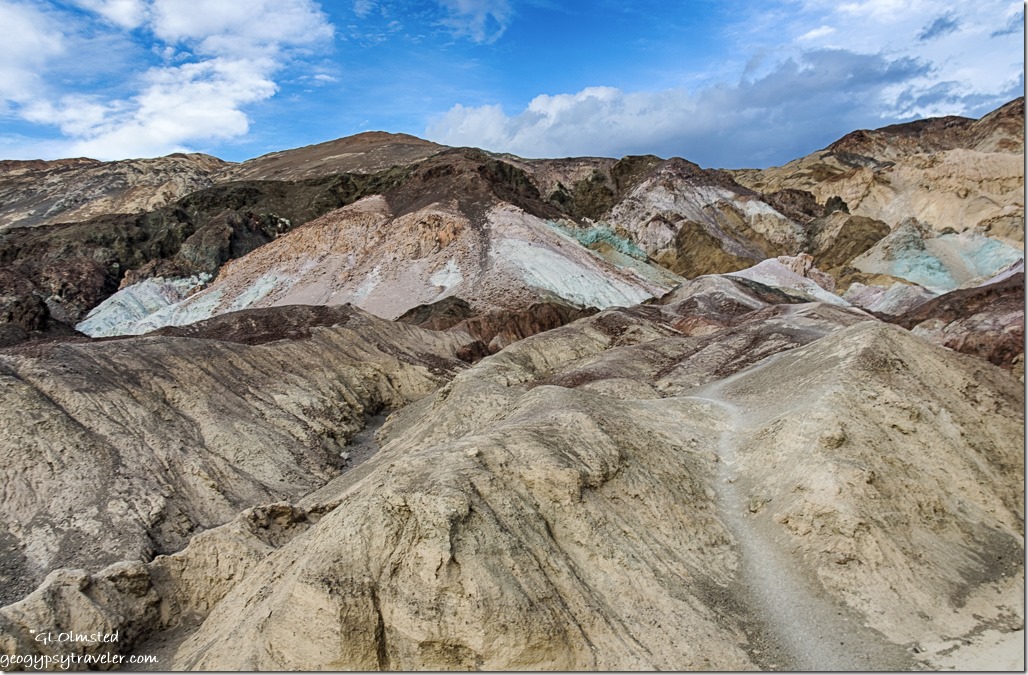
Artists Palette Death Valley National Park CaliforniaArtists Drive Death Valley National Park

As the weather deteriorated at Alabama Hills, in other words snow on the Sierras, it was time to get to warmer climate like Death Valley at or below sea level.  But their is that matter of CA190 east climbing not one but two mountain ranges to get there.
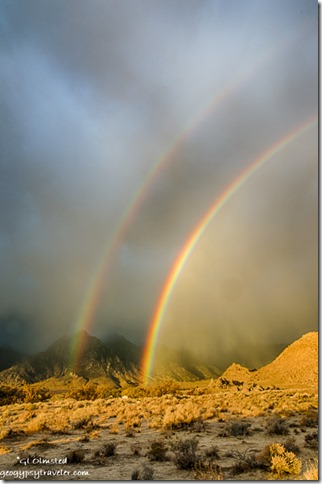
double rainbow low clouds Alabama Hills BLM Lone Pine CaliforniaThe clouds hung low obscuring the Eastern Sierras from view but right before leaving I was gifted with a double rainbow.
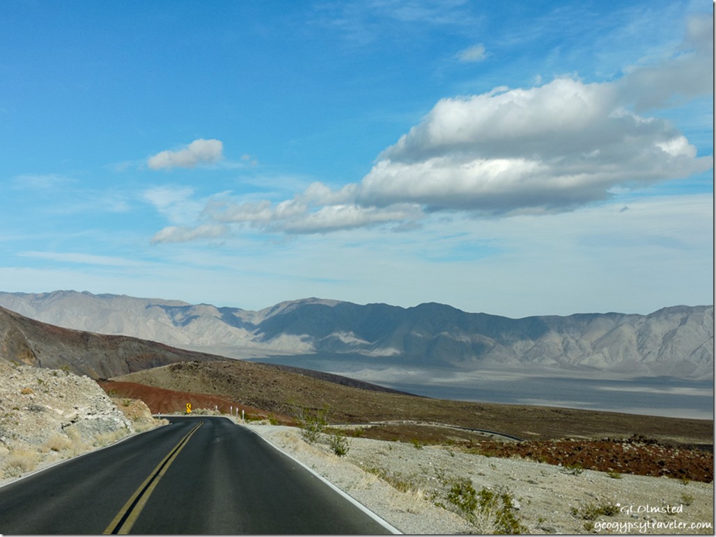
CA190 East CaliforniaFollowed by a desert wind on the nose with sandy salts flowing across the road from Lake Owens.  The first pass over the Inyo Mountains helped reduce the wind.  Sure glad I didn’t need fuel in Panamint Springs at $4.99/gal for diesel.
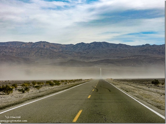
wind blown sand Panamint Valley CaliforniaThen a wicked south wind in Panamint Valley nearly knocked me off the road with a sand blasting strong enough to obliterate much of the view.  Remember this is blowing on the side of the camper like a billboard going down the road and on the fridge side so the pilot blew out.
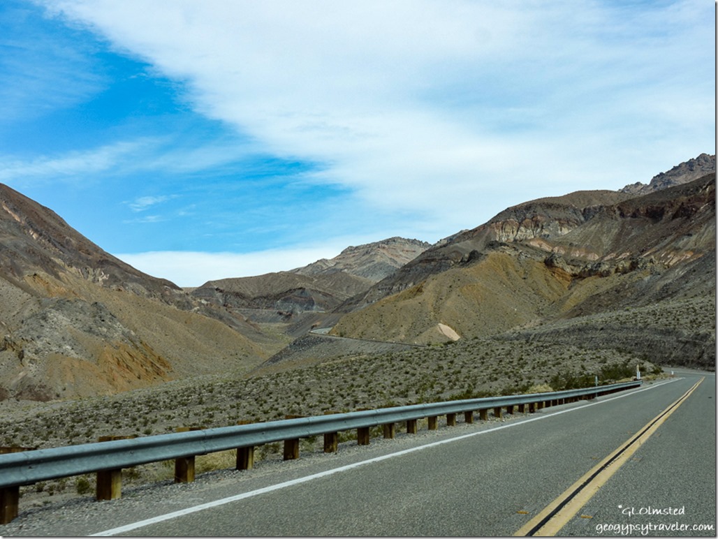
Panamint Mountains CA190 East Death Valley National Park CaliforniaThis followed by another climb into clearer air in the Panamint Range and back down into Death Valley with a little less wind.
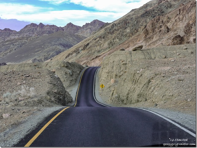
Artists Drive Death Valley National Park California

Artists Drive Death Valley National Park CaliforniaStayed the first night at Texas Springs, my favorite of all the parking lot campgrounds in the park.  After snagging my campsite I took the Artists Drive which was closed last winter and is now newly paved with maybe some more parking areas along the one way road.
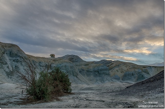
sunrise Texas Spring campground Death Valley National Park CaliforniaAfter sunrise I moved to the Stovepipe Wells campground where I would meet friend and fellow Ranger Jeremy late in the afternoon.

motorbikes tents sand storm mountains Stovepipe Wells campground Death Valley National Park CaliforniaThe tent area was filling fast along the northern edge of this parking lot camp.  Because I’m considered a RV I can’t park along that side but can be nearby along a curb.  So I paid for a tent site, hung the receipt and hunkered in watching the dust and sand fly up the valley to the east.  It appeared to be moving north away from me but then turned and headed towards camp.  I closed the door and windows and hung on tight.  Even inside the camper felt like a sand storm.  People were grabbing and abandoning tents for their cars.  Like a haboob I guess.  Not a great day to take photos.

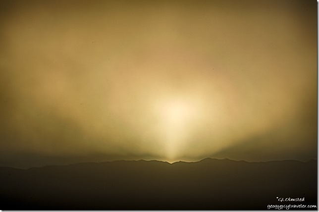
sandstorm sunset Stovepipe Wells campground Death Valley National Park CaliforniaDusty sunset

Jeremy got in after dark, took me to dinner, stayed up most of the night watching meteors—saw 11 of them—and in the morning slept in his car instead of fighting the wind to set up his tent.
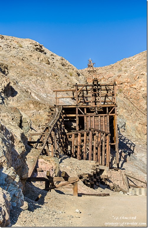
Keane Wonder Mine Death Valley National Park California

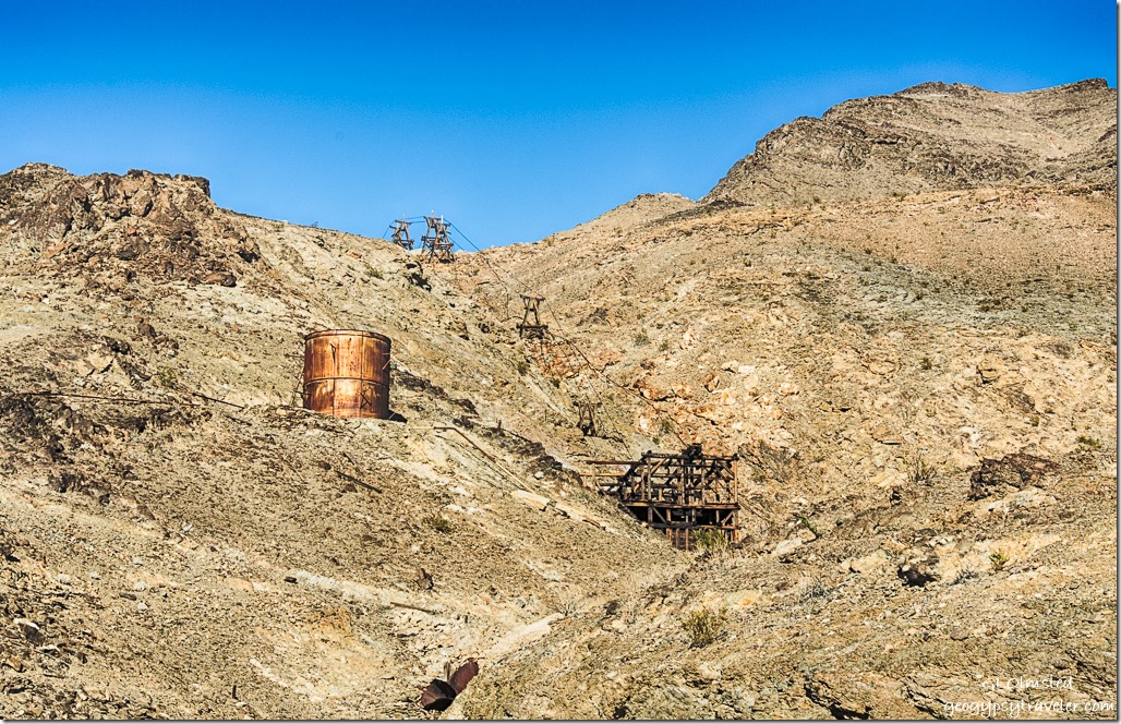
aerial tramway Keane Wonder Mine Death Valley National Park CaliforniaThe next day we visited the recently reopened Keane Wonder Mine with it’s unique mile-long aerial tramway.      https://www.nps.gov/deva/learn/historyculture/keane-wonder-mine.htm
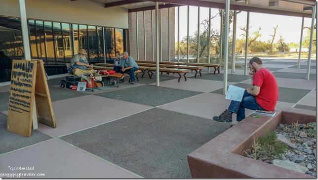
Jeremy Visitor Center Death Valley National Park CaliforniaWhile Jeremy worked on his Junior Ranger book I watched a volunteer demonstrate flint knapping in the visitor center courtyard.  I earned my Death Valley Junior Ranger badge a few years ago.
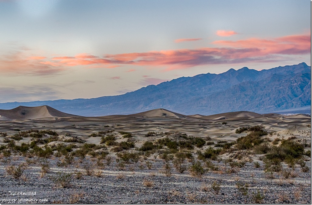
Mesquite dunes sunset mountains Death Valley National Park CaliforniaMade a quick stop by the Mesquite Sand Dunes but it was getting late and Jeremy planned to BBQ dinner, which he is very good at, so we returned to camp.
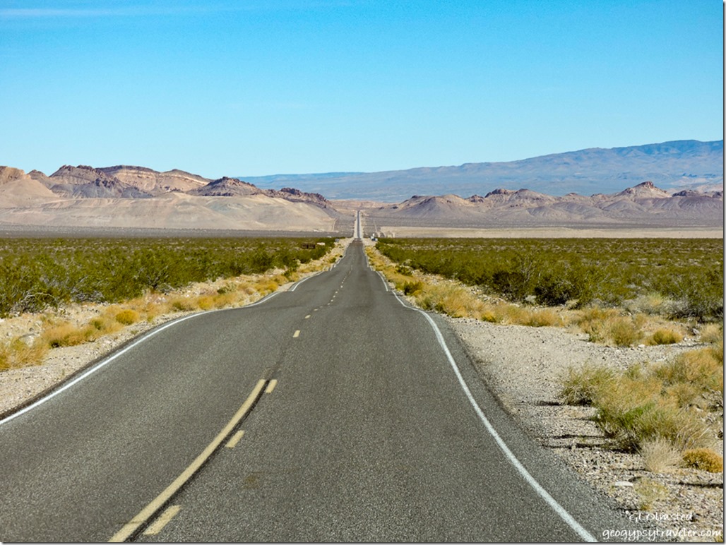
Daylight Pass Road CA NV borderAnd in the morning we both took off our separate ways, me to drive up Mud Canyon on the Daylight Pass Road to explore the ghost town of Rhyolite, Nevada.

Push my buttons!

  • Click to share on Facebook (Opens in new window) Facebook
  • Click to share on X (Opens in new window) X
  • Click to share on LinkedIn (Opens in new window) LinkedIn

Like this:

Like Loading...
California, Death Valley National Park, Places I've been, United States badlands, campgrounds, camping, dust, gold mine, rainbow, sand storm, sunrise, sunset 14 Comments
30 November 2015

Hanksville west along Capitol Reef Country Scenic Byway = 28 miles of wonderful

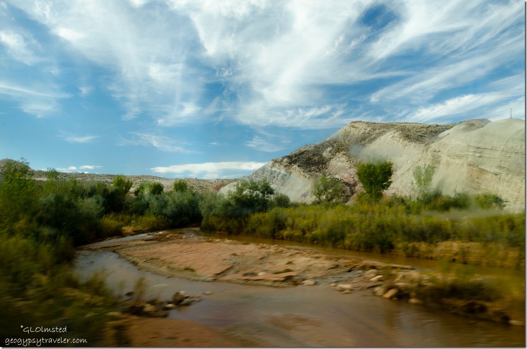
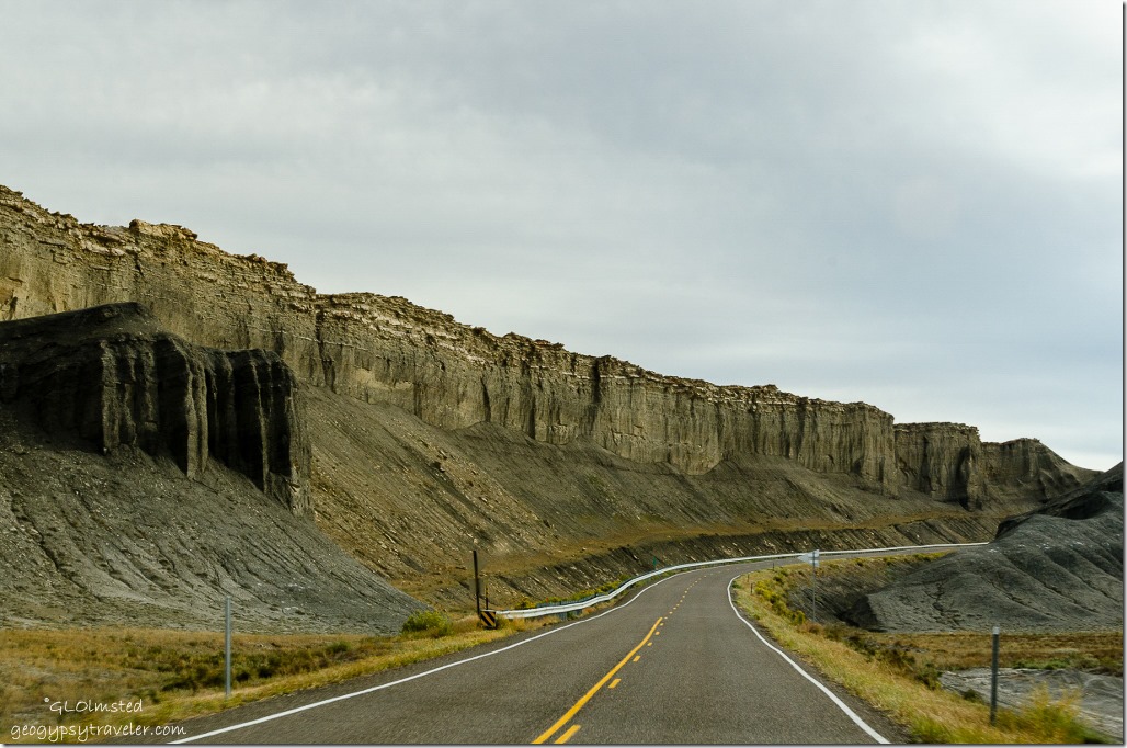
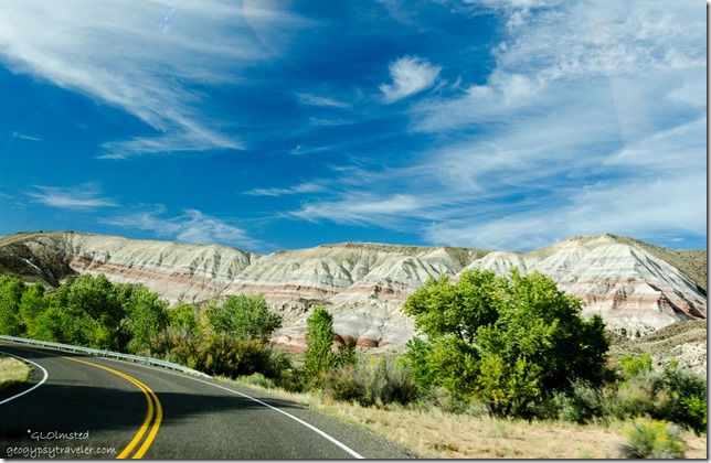
We followed part of the Capitol Reef Country Scenic Byway, also called Utah State Route 24, along the Freemont River upstream through 28 miles of spectacular scenery west from Hanksville to Capitol Reef National Park.

Maybe North Pinto Hills & Fremont River Capitol Reef Country Scenic Byway UT24 UtahFreemont River & maybe North Pinto Hills

The 95 mile Fremont River flows from the Johnson Valley Reservoir in Fish Lake National Forest, southeast through Capitol Reef to the Muddy Creek near Hanksville where the two rivers combine to form the Dirty Devil River, a tributary of the Colorado River.

Maybe Skyline Rim Capitol Reef Country Scenic Byway UT24 UtahMaybe Skyline Rim beyond the Red planet’s terrain

Yet not far from the flowing waters lies the barren land of the Upper Blue Hills.  In fact I just found out that the Mars Society Desert Research Station where spacesuits and equipment are tested is located east of Hanksville because of its resemblance to the surface of Mars.  Now, two months after this journey, I’ve probably mislabeled some of the photos but the colorful names on the map seem to fit.  When will I learn to take notes when I travel.

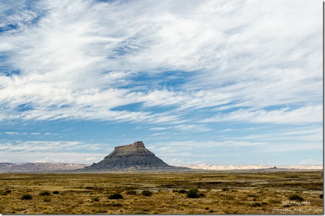
Factory Butte Capitol Reef Country Scenic Byway UT24 UtahFactory Butte

The Factory Bench Road beckoned for exploration across mud flats bearing sparse grass and occasional bushes.  Presumably at least 10 miles of unpaved road eventually leading to Goblin Valley is suitable for any vehicle when conditions are dry.  Yet we had no time and only stopped briefly to look longingly at the prominent orange-brown sandstone of Factory Butte.

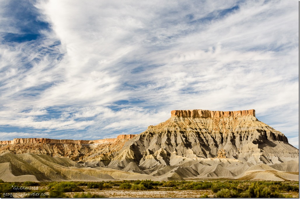
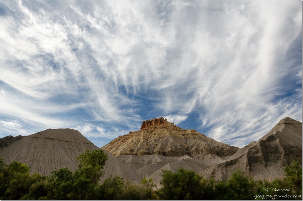
Maybe North Caineville Mesa Capitol Reef Country Scenic Byway UT24 UtahMaybe North Caineville Mesa

Maybe South Caineville Mesa Capitol Reef Country Scenic Byway UT24 UtahMaybe South Caineville Mesa

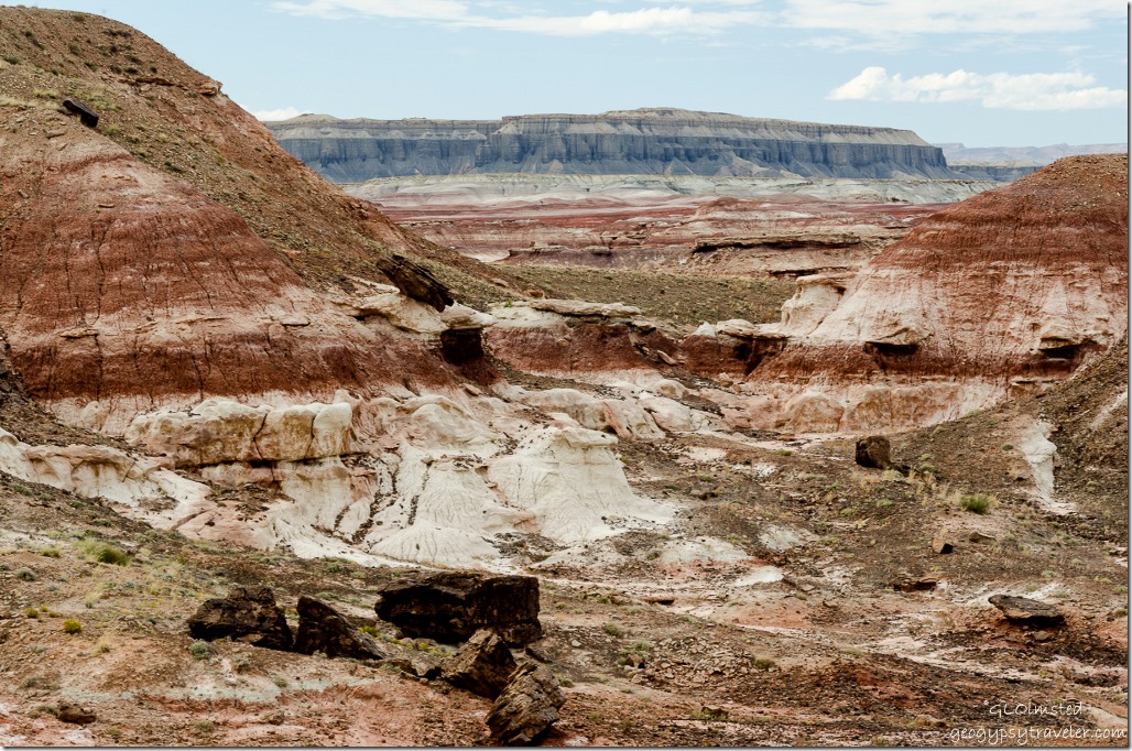
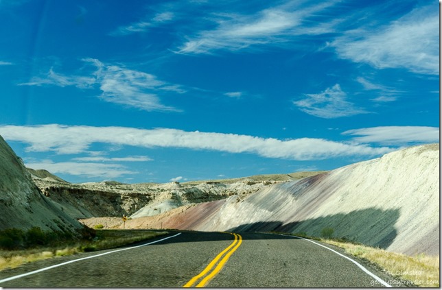
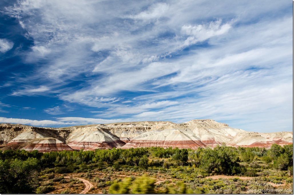
Mudhill bandlands composed of bentonite rich clay, mud and volcanic ash turned to stone slowly erodes away from the bases of both of the exposed sandstone of North and South Caineville Mesas.  Didn’t the clouds put on a beautiful show over the colorful formations?

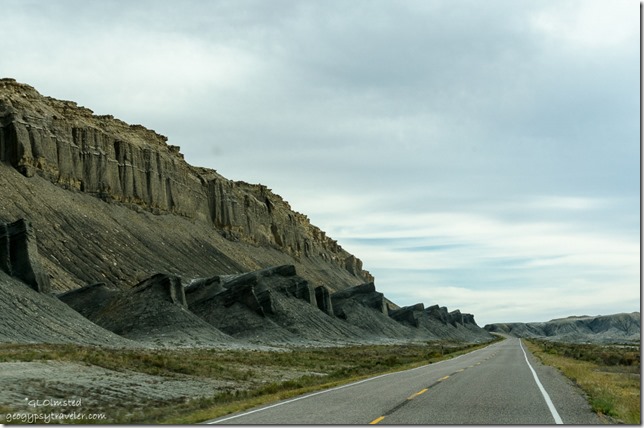
Caineville Reef Capitol Reef Country Scenic Byway UT24 UtahCaineville Reef

Then looming ahead as if to block the way rose the Caineville Reef, an extension of the San Rafael Reef to the north and merging with Capitol Reef’s Waterpocket Fold to the south.  Although there were shallow seas in this region around 200 million years ago these “reefs” are actually uplifts caused by forces of geologic compression during the Laramide Orogeny about 60 million years ago.  In many cases, settlers and pioneers named them “reefs” defined as a barrier.

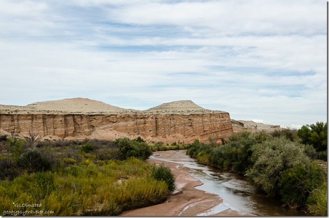
Freemont River Capitol Reef Country Scenic Byway UT24 UtahFreemont River through dirty side window on the fly

Caineville Reef Capitol Reef Country Scenic Byway UT24 UtahCaineville Reef

Crossed the Freemont River and paralleled Caineville Reef southward.

Caineville Reef Capitol Reef Country Scenic Byway UT24 UtahCaineville Reef

Maybe Red Desert Capitol Reef Country Scenic Byway UT24 UtahMaybe Red Desert

Maybe North Blue Flats Capitol Reef Country Scenic Byway UT24 UtahMaybe North Blue Flats

Then the road jogged west past the Red Desert, North Blue Flats and all too soon we entered Capitol Reef National Park.  Took a little over an hour from Hanksville with a couple of photo stops along the way.  Could take much longer by exploring those side roads.  A good excuse to return.

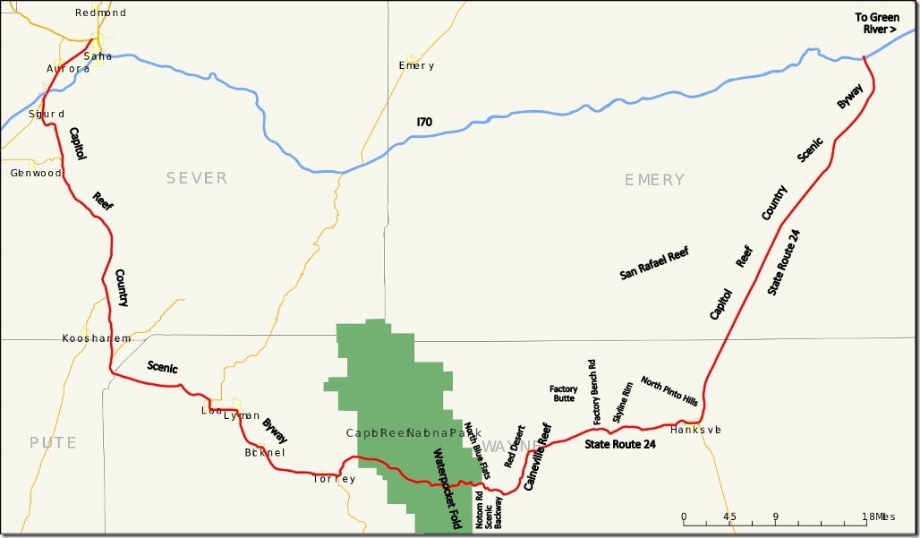
Map Capitol Reef Country Scenic Byway UtahMore nearby scenic drives to explore

The 160 mile (260 km) Capitol Reef Country Scenic Byway runs east and west between US50 near Salina and I70 near Green River between the Fishlake and Dixie National Forests then through Capitol Reef National Park and along the eastern side of the San Rafael Reef passing Goblin Valley State Park.  On the east side of Capitol Reef National Park the Notom Road Scenic Backway runs south from SR24 along the base of the Waterpocket Fold and junctions with the Burr Trail Road to Bullfrog Bay, Marina and Visitor Center on the shores of Lake Powell.

Push my buttons!

  • Click to share on Facebook (Opens in new window) Facebook
  • Click to share on X (Opens in new window) X
  • Click to share on LinkedIn (Opens in new window) LinkedIn

Like this:

Like Loading...
Utah badlands, Capitol Reef Country Scenic Byway, Factory Butte, Freemont River 24 Comments

Hi, I’m Gaelyn, the Geogypsy

I retired after 29 summer seasons as a Park Ranger, traveling solo for 40+ years. My passions include travel, connecting to nature, photography, and sharing stories.

I started exploring US National Parks in 1977 and 20 years later became a seasonal Park Ranger.  I’ve lived full-time in a RV for 30 years working summers and playing winters.  I’m still trying to figure out what I want to be when I grow old, other than grow up.

Let’s share our stories.  Here’s more of mine…

My wheeleastate

I am currently…

…boondocking somewhere in southern Arizona.  In the area, give a shout.

Geogypsytraveler on YouTube

Follow my journey on YouTube. Just click the pic. Hope you’ll like, share, and subscribe.

Click image for 7 minute documentary (Password “geogypsy” lowercase)

Making the Gypsy documentary is a story of its own.  Click below for the rest of the story.

Living nomadically & connecting to nature documentary

Subscribe to Blog via Email

Enter your email address to subscribe to this blog and receive notifications of new posts by email.

Photos available for sale include prints, greeting cards, coffee mugs, tote bags, phone cases and more

Reflected Wave 24X16 metal print under $100

Custom Coffee Mugs

Many items to choose from including prints

The Last Blast 24 x 16″ metal print under $100

Need a signal boost? When I boondock on public lands sometimes signal is weak or intermittent and a booster helps. Click the pic to visit WeBoost.

Connecting to nature and the rest of the world too.

Please contact me for photo purchases not seen at GLOlmsted Photography

Order fulfillment is by Fine Art America. If you’re not happy with your purchase, for any reason, simply return it within 30 days, and you’ll receive a full refund of the purchase price.

Why read Geogypsy?

The gypsy life spring-summer 1998 - "You were a real pioneer. RV'ing before it was cool." ...Yogi

How do you process photos? - “Your photographs create an Emotional feeling in the viewer...that they become One with You.” …Cindy

Life’s transitions between travel and work play - "I know you love your job as much as you love travel -- it shines through all your posts." ...Sallie

Lions at Kruger National Park - “Wonderful post, thank you. I was hooked start to finish!” … Peter B

11 lessons looking back 2013 - “A great post -- made me think, made me smile, made me want to cry." ...Sallie

Wildlife video Kruger National Park - “Gorgeous, this makes me want to go straight to South Africa now.” … Ayngelina

Living nomadically & connecting to nature documentary - “What an experience you had and gave to the "crew." Sometimes I think you don't realize how unique and inspiring you are.” …Alan

Search

Popular Posts

1. Prioritize the well-being of nature over photography. 2. Educate yourself about the places you photograph. 3. Reflect on the possible impact of your actions. 4. Use discretion if sharing locations. 5. Know and follow rules and regulations. 6. Always follow Leave No Trace principles and strive to leave places better than you found them. 7. Actively promote and educate others about these principles

Categories

Archives

Sites I follow, read & recommend

  • A Full-time Life
  • A Yankee in Belgrade
  • Bob's Eyes
  • Box Canyon Blog
  • Camels and Chocolate
  • Dawns bloggy blog
  • In the Direction of Our Dreams
  • Jane in her infinite wisdom
  • Janie and Steve, Utah Trails
  • Kathie's Birds
  • Las Adventuras
  • Memorable Meanders
  • Oh, The Places They Go
  • On the Road Abode
  • Port Elizabeth Daily Photo
  • Stillhowlyntravels
  • Take to the Highway
  • Technomadia
  • the good luck Duck
  • Travel with the Bayfield Bunch
  • Wandering Earl
  • Wheeling It
  • Yogi's Den

Caught in a Slot 9×12 canvas print under $50

If you don’t like what’s going on in your government, contact your Congress

Directory of Senators

Directory of Representatives

Lijit

© Copyright 2008-2024. Geogypsytraveler.com
%d