• Home
  • About Geogypsy
    • Herstory
    • Parks where I’ve worked
  • Places I’ve been
    • United States
      • Arizona
        • Antelope Slot Canyon
        • Casa Grande Ruins National Monument
        • Colossal Cave Mountain Park
        • Flagstaff
        • Glen Canyon National Recreation Area
        • Grand Canyon National Park
          • Grand Canyon National Park North Rim
          • Grand Canyon National Park South Rim
          • Toroweap
        • Havasu Canyon
        • Horseshoe Bend
        • Jerome
        • Kaibab National Forest
        • Lee’s Ferry
        • Meteor Crater
        • Navajo Bridge
        • Oak Creek Canyon
        • Painted Desert
        • Pipe Springs National Monument
        • Prescott
        • Quartzsite
        • Saguaro National Park
        • Sedona
        • Sunset Crater Volcano National Monument
        • Vermilion Cliffs
        • Walnut Canyon National Monument
        • Wupatki National Monument
        • Yarnell
      • California
        • Anzaberrego
        • Bakersfield
        • Death Valley National Park
        • Joshua Tree National Park
        • Redwoods NP
        • Salton Sea
        • Yucca Valley
      • Colorado
        • Mesa Verde National Park
      • Florida
      • Illinois
        • IL River
        • Morton Arboretum
        • Starved Rock State Park
      • Michigan
      • Nevada
      • New Mexico
      • Oregon
        • Crater Lake NP
        • Mt Hood
        • Oregon Caves National Monument
      • Texas
        • Alpine Texas
        • Padre Island
        • Port Isabel
        • Rio Grande Valley
      • Utah
        • Brian’s Head
        • Bryce Canyon National Park
        • Buckskin Gulch
        • Cedar Breaks National Monument
        • Cedar City
        • Coral Pink Sand Dunes State Park
        • Dixie National Forest
        • Grand Staircase Escalante National Monument
        • Johnson Canyon
        • Kanab
    • World Travels
      • Germany
      • Mexico
      • South Africa
  • Tours
  • Photography
  • Work with Me
    • Sponsors
  • Contact
Geogypsy
Menu
  • Home
  • About Geogypsy
    • Herstory
    • Parks where I’ve worked
  • Places I’ve been
    • United States
      • Arizona
        • Antelope Slot Canyon
        • Casa Grande Ruins National Monument
        • Colossal Cave Mountain Park
        • Flagstaff
        • Glen Canyon National Recreation Area
        • Grand Canyon National Park
          • Grand Canyon National Park North Rim
          • Grand Canyon National Park South Rim
          • Toroweap
        • Havasu Canyon
        • Horseshoe Bend
        • Jerome
        • Kaibab National Forest
        • Lee’s Ferry
        • Meteor Crater
        • Navajo Bridge
        • Oak Creek Canyon
        • Painted Desert
        • Pipe Springs National Monument
        • Prescott
        • Quartzsite
        • Saguaro National Park
        • Sedona
        • Sunset Crater Volcano National Monument
        • Vermilion Cliffs
        • Walnut Canyon National Monument
        • Wupatki National Monument
        • Yarnell
      • California
        • Anzaberrego
        • Bakersfield
        • Death Valley National Park
        • Joshua Tree National Park
        • Redwoods NP
        • Salton Sea
        • Yucca Valley
      • Colorado
        • Mesa Verde National Park
      • Florida
      • Illinois
        • IL River
        • Morton Arboretum
        • Starved Rock State Park
      • Michigan
      • Nevada
      • New Mexico
      • Oregon
        • Crater Lake NP
        • Mt Hood
        • Oregon Caves National Monument
      • Texas
        • Alpine Texas
        • Padre Island
        • Port Isabel
        • Rio Grande Valley
      • Utah
        • Brian’s Head
        • Bryce Canyon National Park
        • Buckskin Gulch
        • Cedar Breaks National Monument
        • Cedar City
        • Coral Pink Sand Dunes State Park
        • Dixie National Forest
        • Grand Staircase Escalante National Monument
        • Johnson Canyon
        • Kanab
    • World Travels
      • Germany
      • Mexico
      • South Africa
  • Tours
  • Photography
  • Work with Me
    • Sponsors
  • Contact

Category: Utah

07 September 2015

A short walk in a side canyon

Paria Canyon Grand Staircase-Escalante National Monument UtahI’ve visited so many new places in southern Utah with Bill, many considered destinations, places others visit regularly or at least want to.  Yet we are both just as happy pulling over on a gravel road to explore some unmarked canyon.  Well, maybe marked by a fence, or pieces of a fence.  After all much of this land is BLM where cattle grazing is allowed.  So after several trips between White House campground/trailhead and the Paria Contact station in Grand Staircase-Escalante National Monument we opted for a short walk in a side canyon.

The first stop at the Paria Contact Station we met a very bored young man who puts in one of his 5-day work week for the BLM doing a lot of nothing.  There’s not too much traffic at this remote information station since the lottery for the Wave moved to the Kanab BLM visitor center.
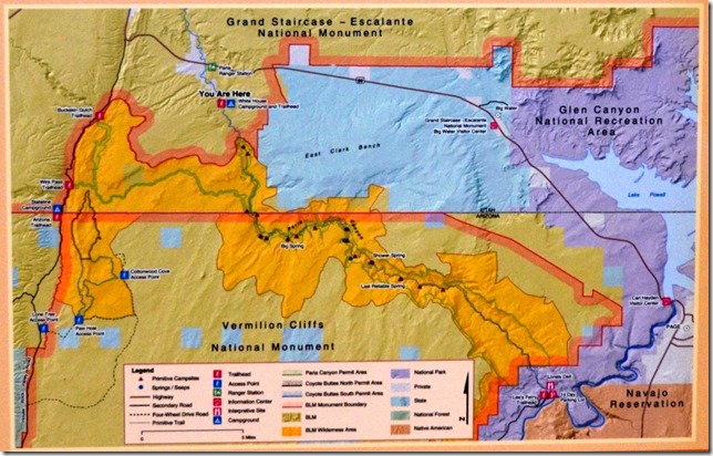
BLM map White House Paria Buckskin to Lee's Ferry Grand Staircase-Escalante National Monument UtahWe drove out the 2 miles on gravel to White House campground/trailhead used mainly by hikers to the confluence of Paria Canyon and Buckskin Gulch in the Paria Canyon-Vermilion Cliffs Wilderness then either up Buckskin or down the Paria to Lee’s Ferry about 40 miles away in Glen Canyon National Recreation Area.

The name given to the main Paria trailhead and the spring located nearby was derived sometime between the late 19th and early 20th centuries.  Sheepherders used to pass through the area between summer and winter pastures.  After spending the winter in Glen Canyon where there were few good springs, they looked forward to the dependable spring near the Paria River where water was “good as any that could be had at the White House in Washington D.C.,” at least in their imagination.  Thus we have White House Spring, and mirroring that, White House trailhead.  The water is clear and good for thirsty sheepherders and modern-day hikers.          (From BLM interpretive sign)

As we stood reading the interpretive signs first one guy and then another walked up the trail, soaking wet and moving pretty slowly.  Bill offered them water which at first they hesitated to accept but then took gratefully and drained a liter each.  Two more of their party arrived, Dad to the first two brothers easily in their 30s, and a friend.  They were doing better with water.  Bill offered to drive them to the Contact Station and save them some time waiting in the blazing sun for their ride.  Their long hike from Wire Pass had turned out hotter than expected.  But they made it and checked this hike off Dad’s bucket list.

While dropping them off at the Contact Station I asked about their Discovery Book, equivalent to Junior Ranger, and the bored guy dug around in some drawers and gave me the book and badge, at the same time.  Dang, I didn’t even have to work for it.  Then we drove back to the camp and retrieved a favorite coffee cup Bill had left behind.  But because we’d forgotten to fill water bottles we returned once again to the Contact station then headed back a third time.
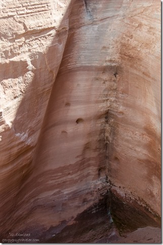
Double spillway White House Road Grand Staircase-Escalante National Monument Utah

Hand & toe holes in spillway White House Road Grand Staircase-Escalante National Monument UtahStopped for a short walk to a double spillway.  I’ll bet there was a pool of water in the upper part that would have been fun to soak in.  It was muddy in the bottom so didn’t get to close.  But I wondered if these are hand and toe holes for climbing to the upper area.
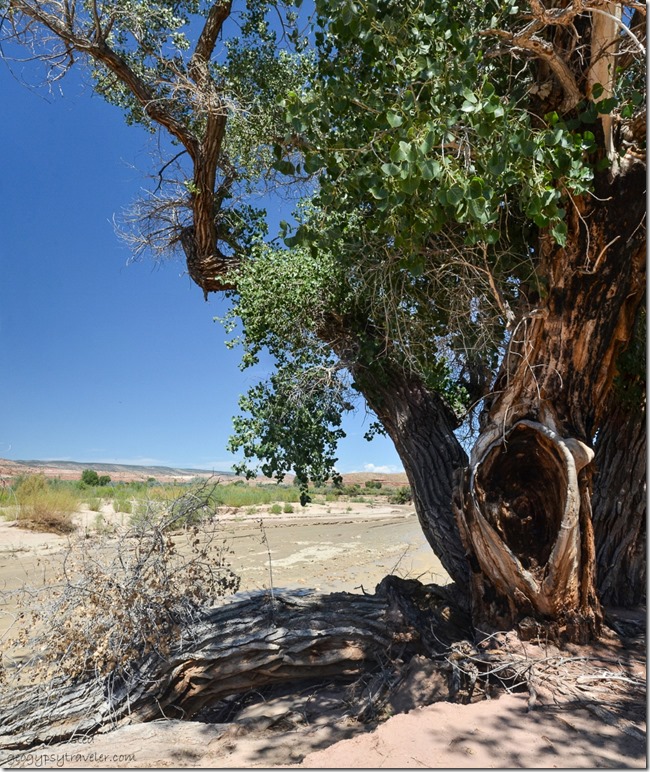
Bee tree along Paria River White House Road Grand Staircase-Escalante National Monument UtahBill showed me a nice spot to potentially camp along the Paria River except for the big shade tree which hummed loudly with bees.
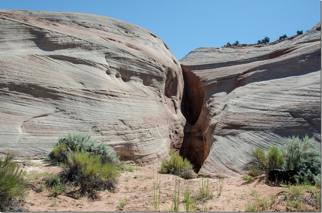
Side canyon White House Road Grand Staircase-Escalante National Monument Utah

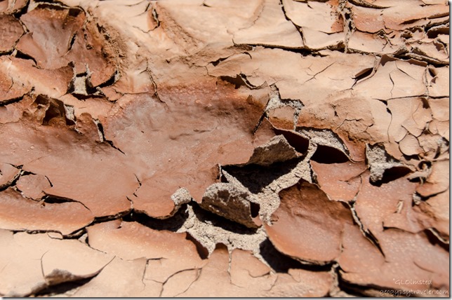
Dry mud in side canyon White House Road Grand Staircase-Escalante National Monument UtahThen we spotted a mostly dry wash with a convenient place to park and took a short walk in a side canyon.
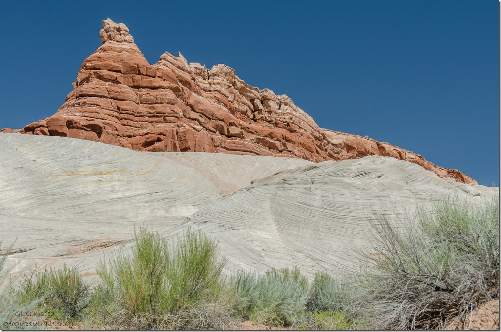
Sandstone above wash in side canyon White House Road Grand Staircase-Escalante National Monument Utah

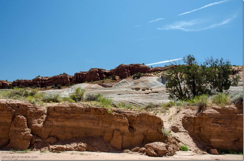
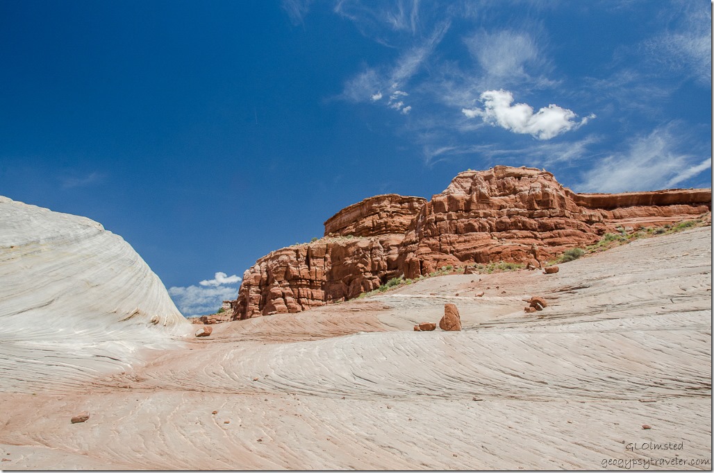
Sandstone above wash in side canyon White House Road Grand Staircase-Escalante National Monument UtahSandstone cliffs rise above the wash.

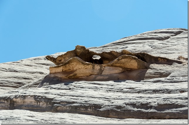
Sandstone above wash in side canyon White House Road Grand Staircase-Escalante National Monument UtahHow many ways can I describe the shapely sandstone carved by wind and water.
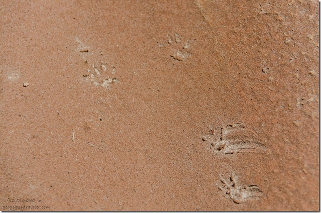
Tracks in wash in side canyon White House Road Grand Staircase-Escalante National Monument UtahSome marvelous little critter had left behind its mark.
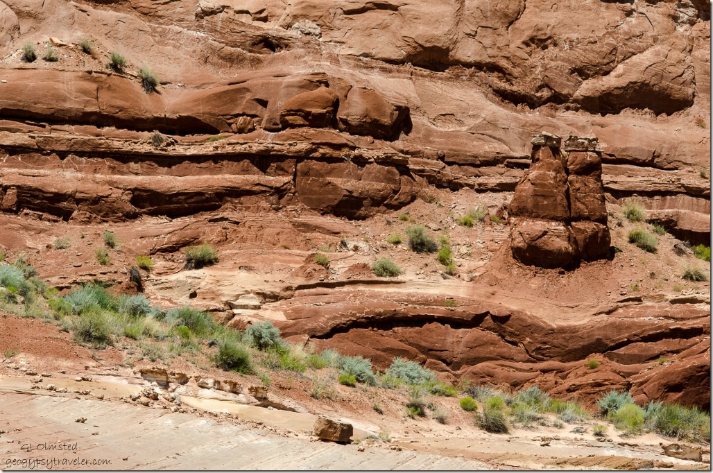
Toadstools in side canyon White House Road Grand Staircase-Escalante National Monument UtahI walked slowly, taking photos, while Bill and Sasha moved ahead, shade spot to shade spot.  Around every bend some new delight.
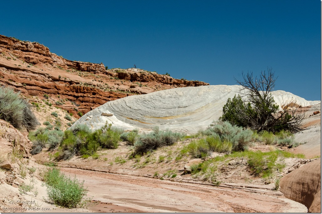
Shady juniper next to sandstone in side canyon White House Road Grand Staircase-Escalante National Monument UtahWe walked a while then found a bit of shade under a juniper and sat soaking it all in.
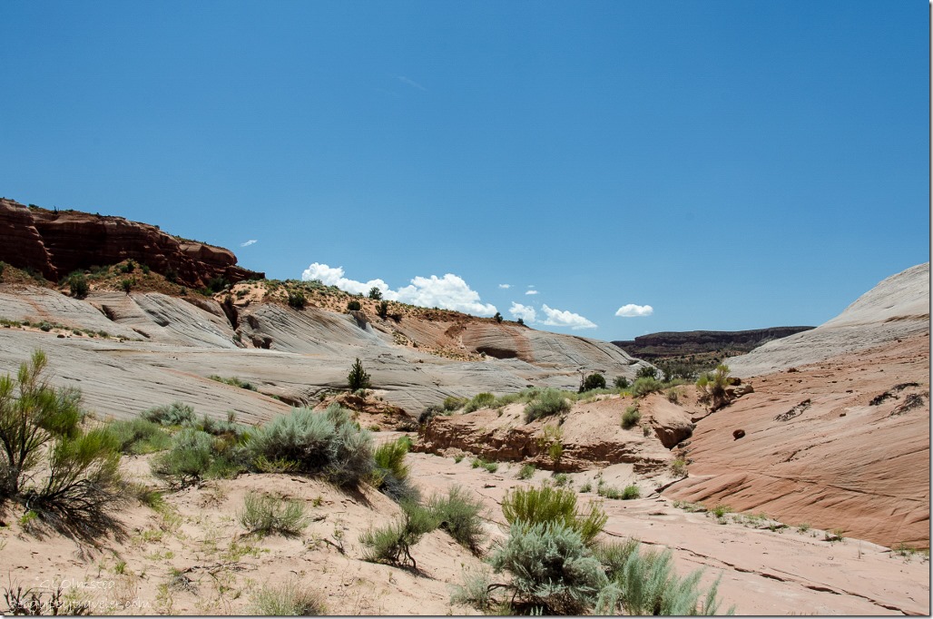
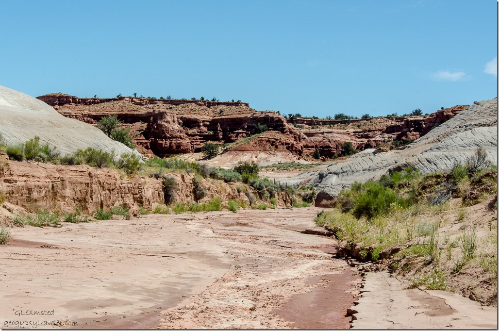
Wash in side canyon White House Road Grand Staircase-Escalante National Monument UtahAfter about an hour we begin the walk back down the wash.
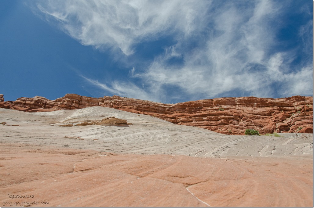
Bedding planes in side canyon White House Road Grand Staircase-Escalante National Monument Utah

Sandstone in side canyon White House Road Grand Staircase-Escalante National Monument UtahI am captivated by the bedding planes of these old sand dunes turned to stone.
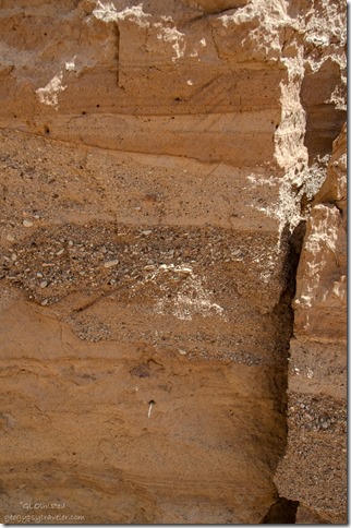
Deposit layers in wash in side canyon White House Road Grand Staircase-Escalante National Monument UtahThe walls of the wash tell a story of water flows over time.
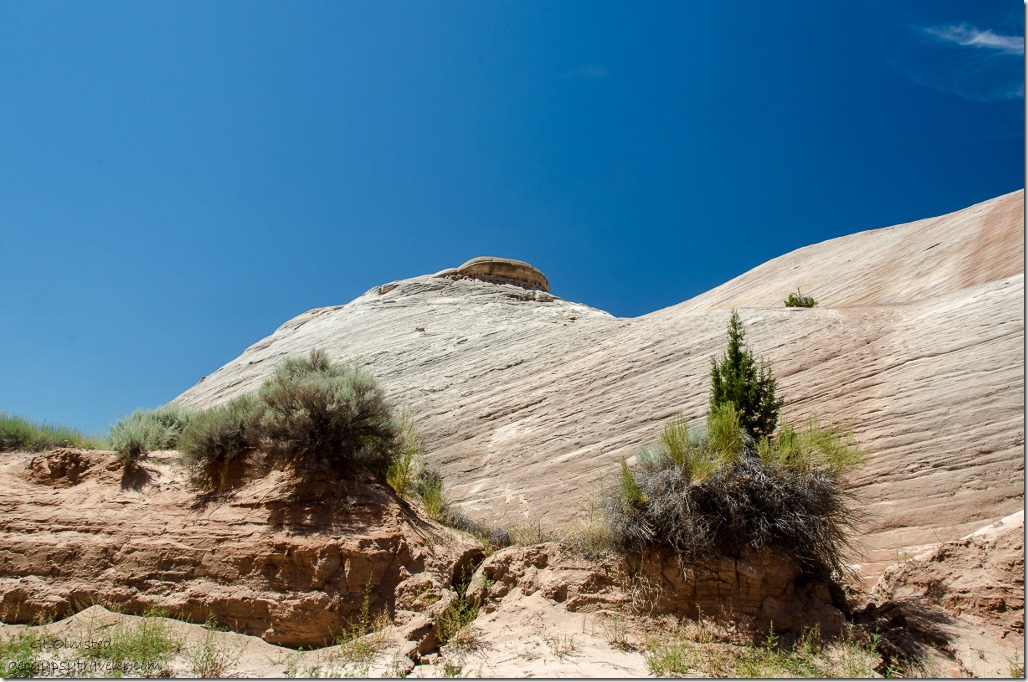
Sandstone cliffs in side canyon White House Road Grand Staircase-Escalante National Monument UtahIt seems the return walk is always faster even though the views are different.
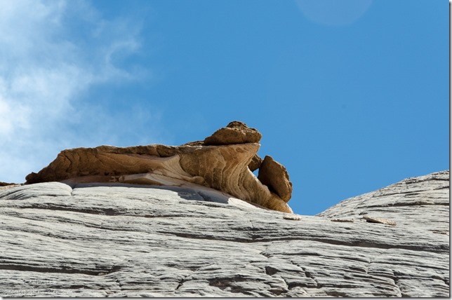
Carved sandstone in side canyon White House Road Grand Staircase-Escalante National Monument UtahBut I lollygaged along while Bill and Sasha walked ahead disappearing around a bend.
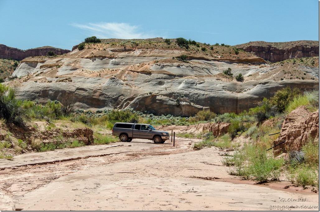
Bill's truck White House Road Grand Staircase-Escalante National Monument UtahAnd when I get in sight of the road my air conditioned chariot awaits.

Push my buttons!

  • Facebook
  • Twitter
  • LinkedIn

Like this:

Like Loading...
Grand Staircase Escalante National Monument, Utah Paria River Canyon, White House Road 17 Comments
02 September 2015

Smithsonian Butte Back Country Byway

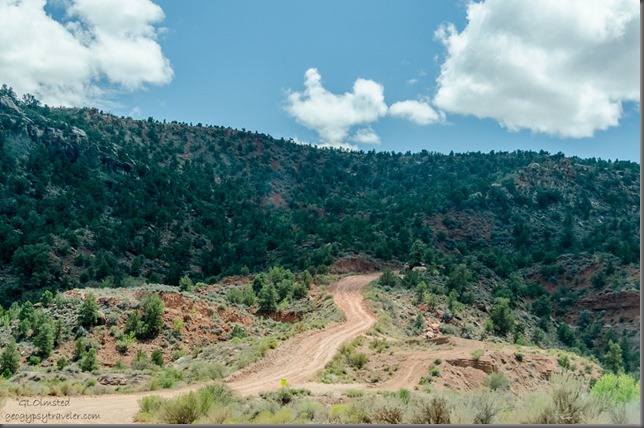
Dugway up to Smithsonian Butte UtahAfter exploring the historic town of Grafton we took a drive on the Smithsonian Butte Back Country Byway which took us up a graded dirt road.

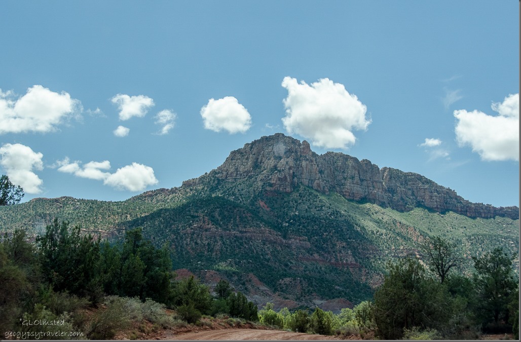
Smithsonian Butte from Back Country Byway UtahSmithsonian Butte

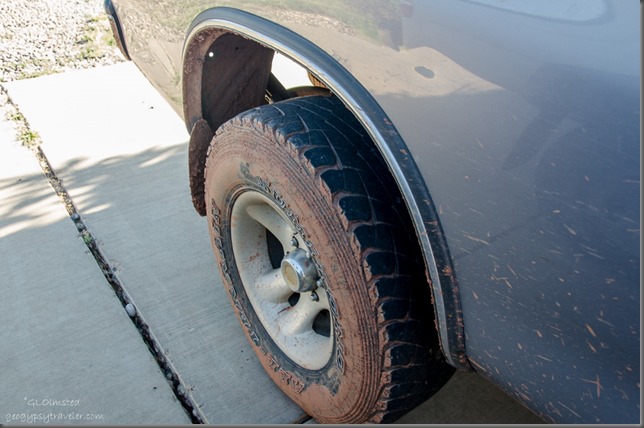
Muddy tiresAlthough it’s typically suitable for most vehicles the sharp curves and half-mile of 800 feet steep grade should not be attempted after rain or snowfall.  It was only a little wet so Bill’s 4×4 made it no problem and only mudded the truck a little.  But the already dirty windshield did make for some blurry photos along the way.

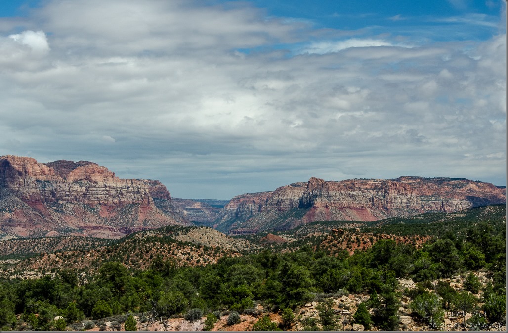
Looking at Zion National Park, Parunuweap Canyon, Canaan Mountains & Eagle Crags from Smithsonian Butte Byway UtahWe pulled over for the breathtaking 270 degree view.  I stood in awe repeating “Wow!”  Wonder if BLM (Bureau of Land Management) will let me build a house here, a tiny house, with two stories and wrap around porch.  I’d like a rocking chair on each side please.

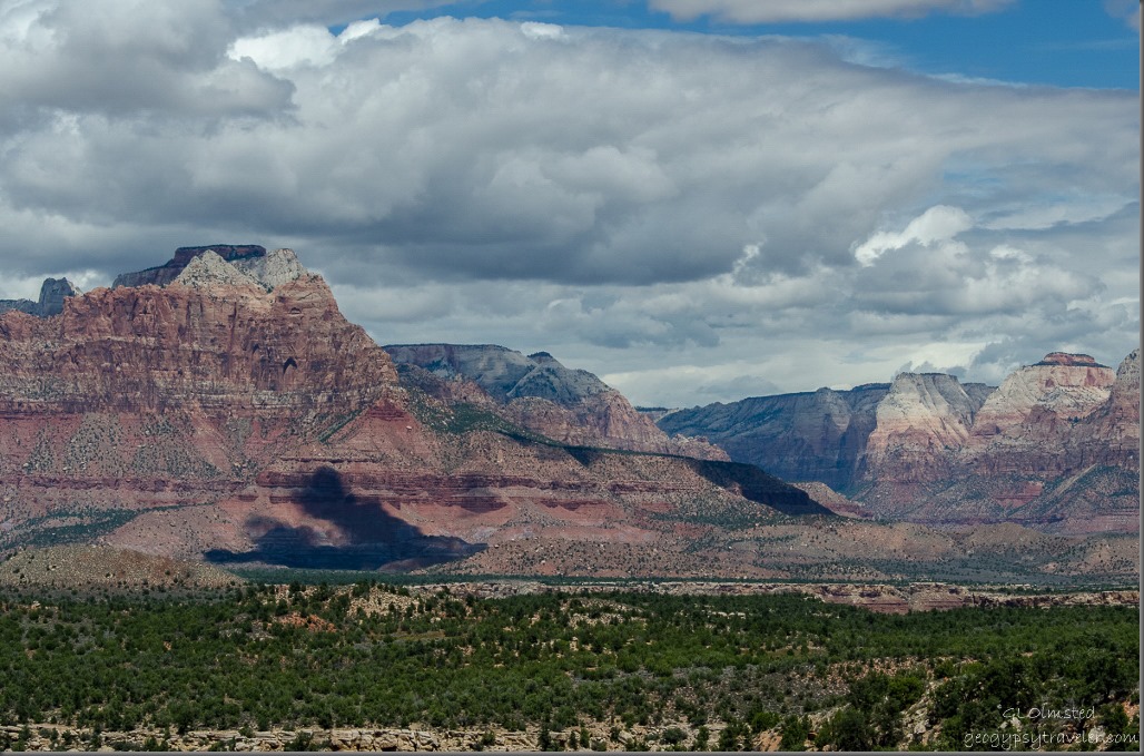
Zion NP from Smithsonian Butte Back Country Byway UtahFrom 4920 feet (1500 m) the pinyon-juniper woodlands stretches below to the Virgin River floodplain where the sandstone buttes of Zion National Park rise up to the north.

Zion National Park, Parunuweap Canyon & Canaan Mountain from Smithsonian Butte Back Country Byway UtahTo the east and edge of Zion, Parunuweap Canyon contains the east fork of the Virgin River with the Canaan Mountains to the right.

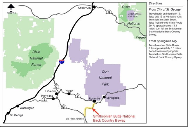
Map Smithsonian Butte National Back Country Byway UtahSmithsonian Butte National Back Country Byway travels for 9.25 miles (14.88 km) between Rockville, Utah, on State Route 9 and Apple Valley, Utah, on State Route 59 in southwestern Utah.

Push my buttons!

  • Facebook
  • Twitter
  • LinkedIn

Like this:

Like Loading...
Arizona, Utah Smithsonian Butte National Back Country Byway 9 Comments
30 August 2015

A visit to historic Grafton

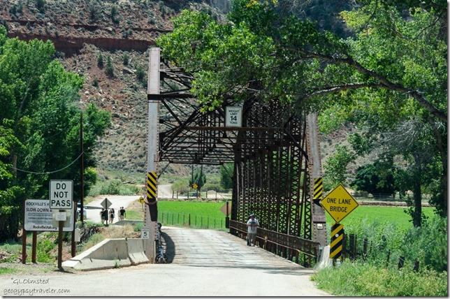
After the drive through Zion we stopped at an honor system fruit stand in Rockville and bought some plums, red and green tomatoes.  Then we crossed the Virgin River on the historic Rockville Bridge on the way to historic Grafton.

Historic Rockville Bridge Rockville UtahThe Rockville Bridge spans the east fork of the Virgin River, built in 1924 at the direction of the National Park Service, to link national parks and monuments, Cedar Breaks, Zion, Bryce, Pipe Springs and Grand Canyon with the rail head at Cedar City.  The route was then sent around Smithsonian Butte which we may or may not have driven later. The Rockville route was discontinued in 1928 by the construction of the Zion-Mount Carmel Highway and placed on the National Register of Historic Places in 1995.

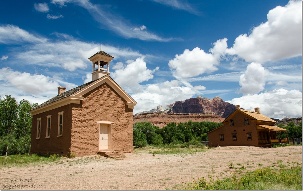
Schoolhouse-church & A H Russell home historic Grafton UtahSettled in 1847 by Mormon pioneers, Grafton became a ghost town twice.  During the 1860s the town washed away then relocated to higher ground before being abandoned after Navajo raids.  Once the troubles settled down people returned to Grafton and constructed the adobe schoolhouse/church.  Then in 1906 the town men helped build the Hurricane Canal and moved their families, and some even their houses, to Hurricane.  And by 1945 the town once again became a ghost town.

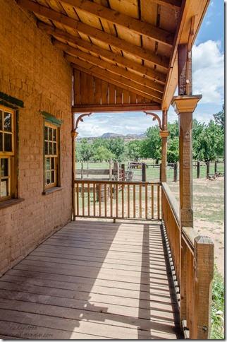
A H Russell home historic Grafton UtahIn June 1997, the Grafton Heritage Partnership was organized to protect, preserve, and restore the Grafton Townsite with cooperation from former Grafton residents, the Utah State Historical Society, the BLM, the Utah Division of State History, and others.  Originally built in 1862, the Alonzo Russell home, severely damaged by years of vandalism and weather, was restored in 2004.  Restoration is more than a pretty façade.  Comprehensive work included: removing stucco, rebuilding the underlying original adobe walls, reconstructing an interior staircase, two fireplaces and their chimneys, rebuilding the front porch and rear kitchen, reroofing the entire structure, and replacing all windows and doors.  Much remains to be done.

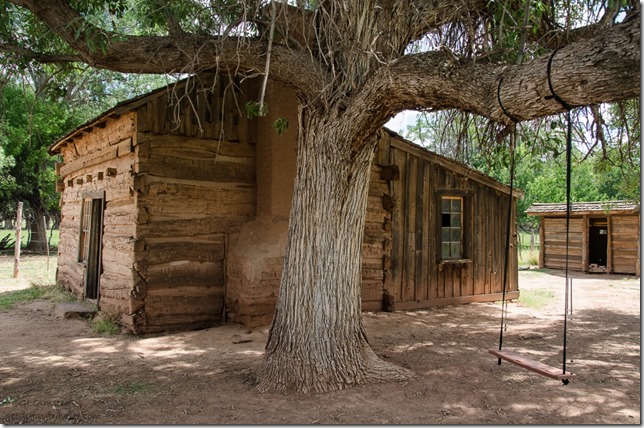
Louisa Russell home historic Grafton UtahThe home of Louisa Russell has not yet seen restoration.  I sure did like swinging under that big tree.

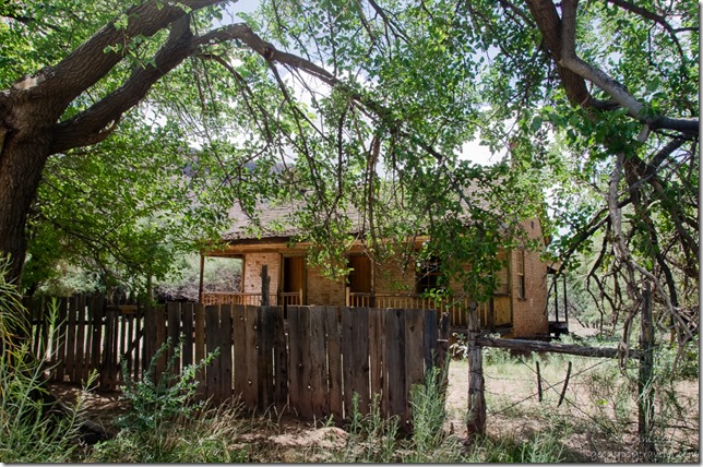
 John Wood home historic Grafton UtahThe John Wood home has been restored along with their barn but is privately owned so we could only look over the fence.

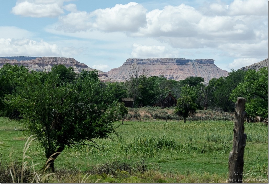
View from historic Grafton UtahIn addition, 150 acres (61 ha) of farmland were purchased, on which agricultural operations are performed to enhance the farming appearance.

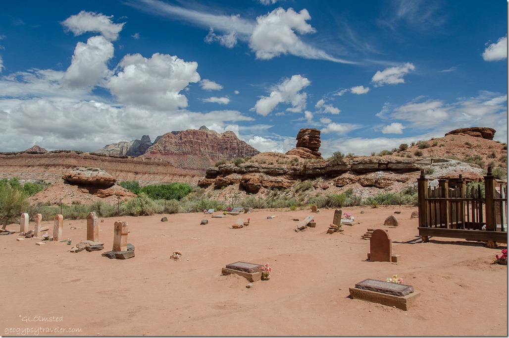
Cemetery historic Grafton UtahThe handcrafted fence surrounding the Berry gravesite in Grafton Cemetery, badly dilapidated by 2000, was restored in 2004.  Parts were recrafted from existing fence remains and details from historic photographs.

The old townsite made a good movie set for westerns like In Old Arizona, the first talkie filmed outdoors in 1929, the following year The Arizona Kid, and Ramrod in 1947.  Then in 1969 Butch Cassidy and the Sundance Kid, one of my all time favorites.  I tried to get Bill to pose like Robert Redord riding a bicycle with his sweetheart school teacher on the handlebars yet he wasn’t cooperative.  But we did watch the movie a few nights ago and I recognized the area.  Unfortunately the school teacher’s house no longer remains.  In 1981 the TV show Child Bridge of Short Creek was filmed here and in 1984 The Red Fury.  Don’t remember seeing any of the others.

Push my buttons!

  • Facebook
  • Twitter
  • LinkedIn

Like this:

Like Loading...
Utah Grafton, history 20 Comments
← Older posts
Newer posts →

Hi, I’m Gaelyn, the Geogypsy

I retired after 29 summer seasons as a Park Ranger, traveling solo for 40+ years. My passions include travel, connecting to nature, photography, and sharing stories.

I started exploring US National Parks in 1977 and 20 years later became a seasonal Park Ranger.  I’ve lived full-time in a RV for 30 years working summers and playing winters.  I’m still trying to figure out what I want to be when I grow old, other than grow up.

Let’s share our stories.  Here’s more of mine…

My wheeleastate

I am currently…

…boondocking somewhere in southern Arizona.  In the area, give a shout.

Geogypsytraveler on YouTube

Follow my journey on YouTube. Just click the pic. Hope you’ll like, share, and subscribe.

Click image for 7 minute documentary (Password “geogypsy” lowercase)

Making the Gypsy documentary is a story of its own.  Click below for the rest of the story.

Living nomadically & connecting to nature documentary

Subscribe to Blog via Email

Enter your email address to subscribe to this blog and receive notifications of new posts by email.

Photos available for sale include prints, greeting cards, coffee mugs, tote bags, phone cases and more

Reflected Wave 24X16 metal print under $100

Custom Coffee Mugs

Many items to choose from including prints

The Last Blast 24 x 16″ metal print under $100

Need a signal boost? When I boondock on public lands sometimes signal is weak or intermittent and a booster helps. Click the pic to visit WeBoost.

Connecting to nature and the rest of the world too.

Please contact me for photo purchases not seen at GLOlmsted Photography

Order fulfillment is by Fine Art America. If you’re not happy with your purchase, for any reason, simply return it within 30 days, and you’ll receive a full refund of the purchase price.

Why read Geogypsy?

The gypsy life spring-summer 1998 - "You were a real pioneer. RV'ing before it was cool." ...Yogi

How do you process photos? - “Your photographs create an Emotional feeling in the viewer...that they become One with You.” …Cindy

Life’s transitions between travel and work play - "I know you love your job as much as you love travel -- it shines through all your posts." ...Sallie

Lions at Kruger National Park - “Wonderful post, thank you. I was hooked start to finish!” … Peter B

11 lessons looking back 2013 - “A great post -- made me think, made me smile, made me want to cry." ...Sallie

Wildlife video Kruger National Park - “Gorgeous, this makes me want to go straight to South Africa now.” … Ayngelina

Living nomadically & connecting to nature documentary - “What an experience you had and gave to the "crew." Sometimes I think you don't realize how unique and inspiring you are.” …Alan

Search

Popular Posts

1. Prioritize the well-being of nature over photography. 2. Educate yourself about the places you photograph. 3. Reflect on the possible impact of your actions. 4. Use discretion if sharing locations. 5. Know and follow rules and regulations. 6. Always follow Leave No Trace principles and strive to leave places better than you found them. 7. Actively promote and educate others about these principles

Categories

Archives

Sites I follow, read & recommend

  • A Full-time Life
  • A Yankee in Belgrade
  • Bob's Eyes
  • Box Canyon Blog
  • Camels and Chocolate
  • Dawns bloggy blog
  • In the Direction of Our Dreams
  • Jane in her infinite wisdom
  • Janie and Steve, Utah Trails
  • Kathie's Birds
  • Las Adventuras
  • Memorable Meanders
  • Oh, The Places They Go
  • On the Road Abode
  • Port Elizabeth Daily Photo
  • Stillhowlyntravels
  • Take to the Highway
  • Technomadia
  • the good luck Duck
  • Travel with the Bayfield Bunch
  • Wandering Earl
  • Wheeling It
  • Yogi's Den

Caught in a Slot 9×12 canvas print under $50

If you don’t like what’s going on in your government, contact your Congress

Directory of Senators

Directory of Representatives

Lijit

© Copyright 2008-2024. Geogypsytraveler.com
%d