• Home
  • About Geogypsy
    • Herstory
    • Parks where I’ve worked
  • Places I’ve been
    • United States
      • Arizona
        • Antelope Slot Canyon
        • Casa Grande Ruins National Monument
        • Colossal Cave Mountain Park
        • Flagstaff
        • Glen Canyon National Recreation Area
        • Grand Canyon National Park
          • Grand Canyon National Park North Rim
          • Grand Canyon National Park South Rim
          • Toroweap
        • Havasu Canyon
        • Horseshoe Bend
        • Jerome
        • Kaibab National Forest
        • Lee’s Ferry
        • Meteor Crater
        • Navajo Bridge
        • Oak Creek Canyon
        • Painted Desert
        • Pipe Springs National Monument
        • Prescott
        • Quartzsite
        • Saguaro National Park
        • Sedona
        • Sunset Crater Volcano National Monument
        • Vermilion Cliffs
        • Walnut Canyon National Monument
        • Wupatki National Monument
        • Yarnell
      • California
        • Anzaberrego
        • Bakersfield
        • Death Valley National Park
        • Joshua Tree National Park
        • Redwoods NP
        • Salton Sea
        • Yucca Valley
      • Colorado
        • Mesa Verde National Park
      • Florida
      • Illinois
        • IL River
        • Morton Arboretum
        • Starved Rock State Park
      • Michigan
      • Nevada
      • New Mexico
      • Oregon
        • Crater Lake NP
        • Mt Hood
        • Oregon Caves National Monument
      • Texas
        • Alpine Texas
        • Padre Island
        • Port Isabel
        • Rio Grande Valley
      • Utah
        • Brian’s Head
        • Bryce Canyon National Park
        • Buckskin Gulch
        • Cedar Breaks National Monument
        • Cedar City
        • Coral Pink Sand Dunes State Park
        • Dixie National Forest
        • Grand Staircase Escalante National Monument
        • Johnson Canyon
        • Kanab
    • World Travels
      • Germany
      • Mexico
      • South Africa
  • Tours
  • Photography
  • Work with Me
    • Sponsors
  • Contact
Geogypsy
Menu
  • Home
  • About Geogypsy
    • Herstory
    • Parks where I’ve worked
  • Places I’ve been
    • United States
      • Arizona
        • Antelope Slot Canyon
        • Casa Grande Ruins National Monument
        • Colossal Cave Mountain Park
        • Flagstaff
        • Glen Canyon National Recreation Area
        • Grand Canyon National Park
          • Grand Canyon National Park North Rim
          • Grand Canyon National Park South Rim
          • Toroweap
        • Havasu Canyon
        • Horseshoe Bend
        • Jerome
        • Kaibab National Forest
        • Lee’s Ferry
        • Meteor Crater
        • Navajo Bridge
        • Oak Creek Canyon
        • Painted Desert
        • Pipe Springs National Monument
        • Prescott
        • Quartzsite
        • Saguaro National Park
        • Sedona
        • Sunset Crater Volcano National Monument
        • Vermilion Cliffs
        • Walnut Canyon National Monument
        • Wupatki National Monument
        • Yarnell
      • California
        • Anzaberrego
        • Bakersfield
        • Death Valley National Park
        • Joshua Tree National Park
        • Redwoods NP
        • Salton Sea
        • Yucca Valley
      • Colorado
        • Mesa Verde National Park
      • Florida
      • Illinois
        • IL River
        • Morton Arboretum
        • Starved Rock State Park
      • Michigan
      • Nevada
      • New Mexico
      • Oregon
        • Crater Lake NP
        • Mt Hood
        • Oregon Caves National Monument
      • Texas
        • Alpine Texas
        • Padre Island
        • Port Isabel
        • Rio Grande Valley
      • Utah
        • Brian’s Head
        • Bryce Canyon National Park
        • Buckskin Gulch
        • Cedar Breaks National Monument
        • Cedar City
        • Coral Pink Sand Dunes State Park
        • Dixie National Forest
        • Grand Staircase Escalante National Monument
        • Johnson Canyon
        • Kanab
    • World Travels
      • Germany
      • Mexico
      • South Africa
  • Tours
  • Photography
  • Work with Me
    • Sponsors
  • Contact

Category: Utah

30 November 2015

Hanksville west along Capitol Reef Country Scenic Byway = 28 miles of wonderful

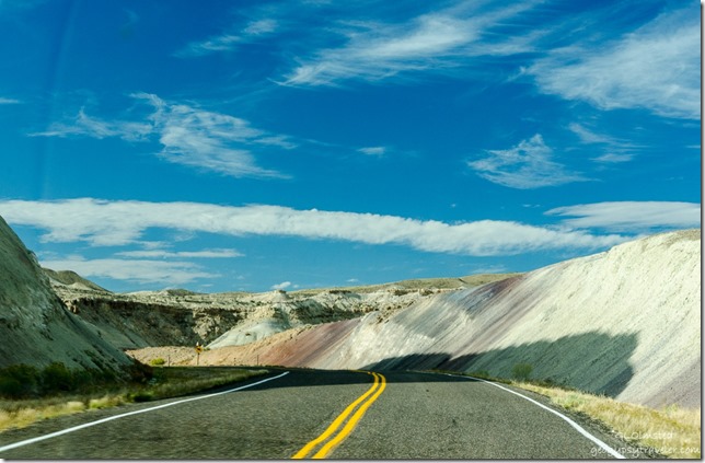
We followed part of the Capitol Reef Country Scenic Byway, also called Utah State Route 24, along the Freemont River upstream through 28 miles of spectacular scenery west from Hanksville to Capitol Reef National Park.
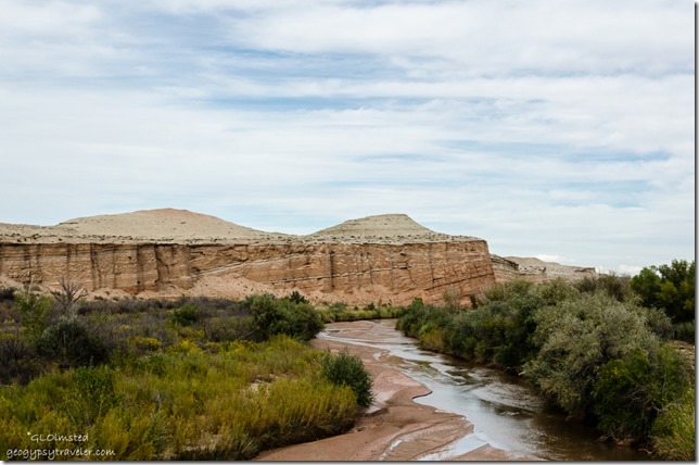
Maybe North Pinto Hills & Fremont River Capitol Reef Country Scenic Byway UT24 UtahFreemont River & maybe North Pinto Hills

The 95 mile Fremont River flows from the Johnson Valley Reservoir in Fish Lake National Forest, southeast through Capitol Reef to the Muddy Creek near Hanksville where the two rivers combine to form the Dirty Devil River, a tributary of the Colorado River.
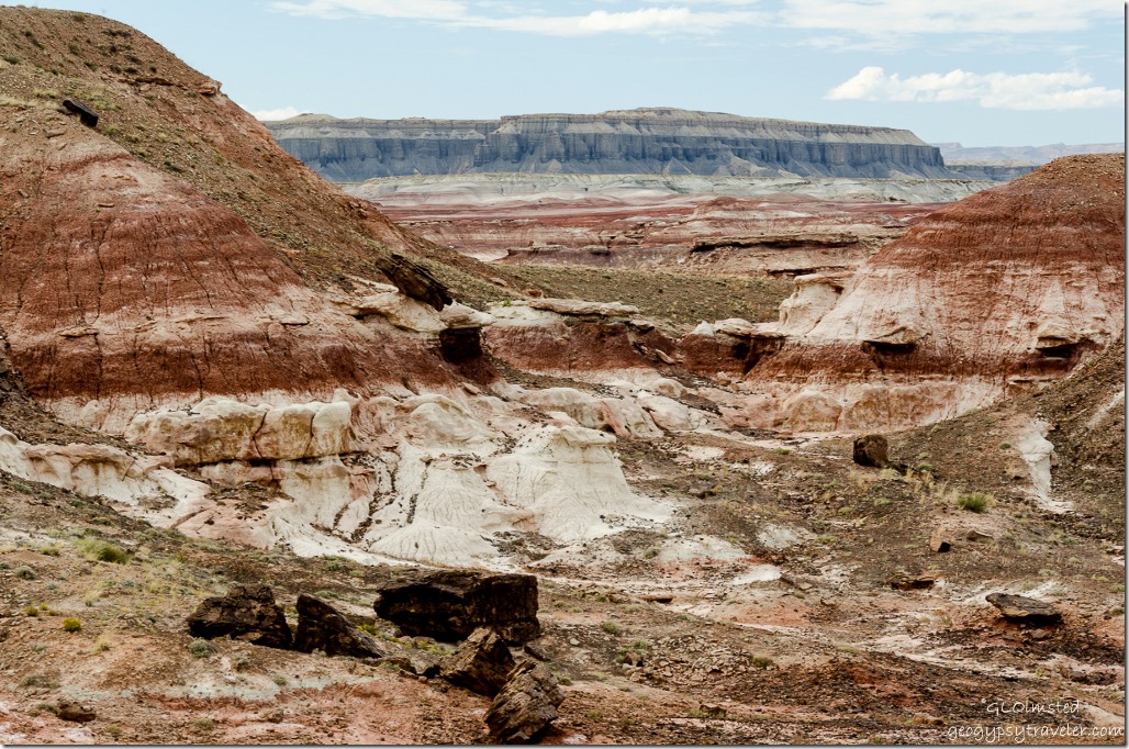
Maybe Skyline Rim Capitol Reef Country Scenic Byway UT24 UtahMaybe Skyline Rim beyond the Red planet’s terrain

Yet not far from the flowing waters lies the barren land of the Upper Blue Hills.  In fact I just found out that the Mars Society Desert Research Station where spacesuits and equipment are tested is located east of Hanksville because of its resemblance to the surface of Mars.  Now, two months after this journey, I’ve probably mislabeled some of the photos but the colorful names on the map seem to fit.  When will I learn to take notes when I travel.

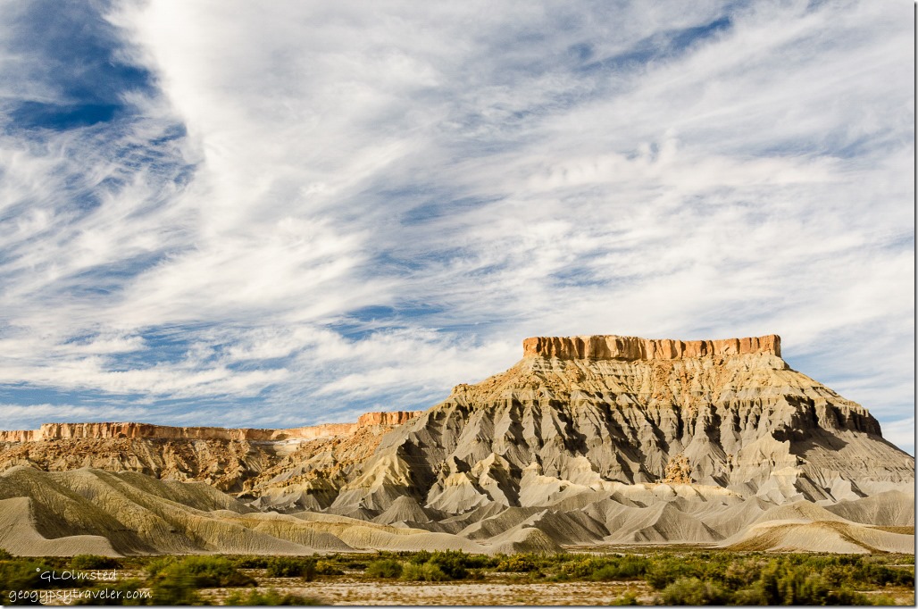
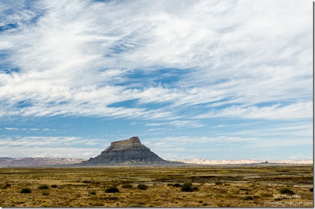
Factory Butte Capitol Reef Country Scenic Byway UT24 UtahFactory Butte

The Factory Bench Road beckoned for exploration across mud flats bearing sparse grass and occasional bushes.  Presumably at least 10 miles of unpaved road eventually leading to Goblin Valley is suitable for any vehicle when conditions are dry.  Yet we had no time and only stopped briefly to look longingly at the prominent orange-brown sandstone of Factory Butte.

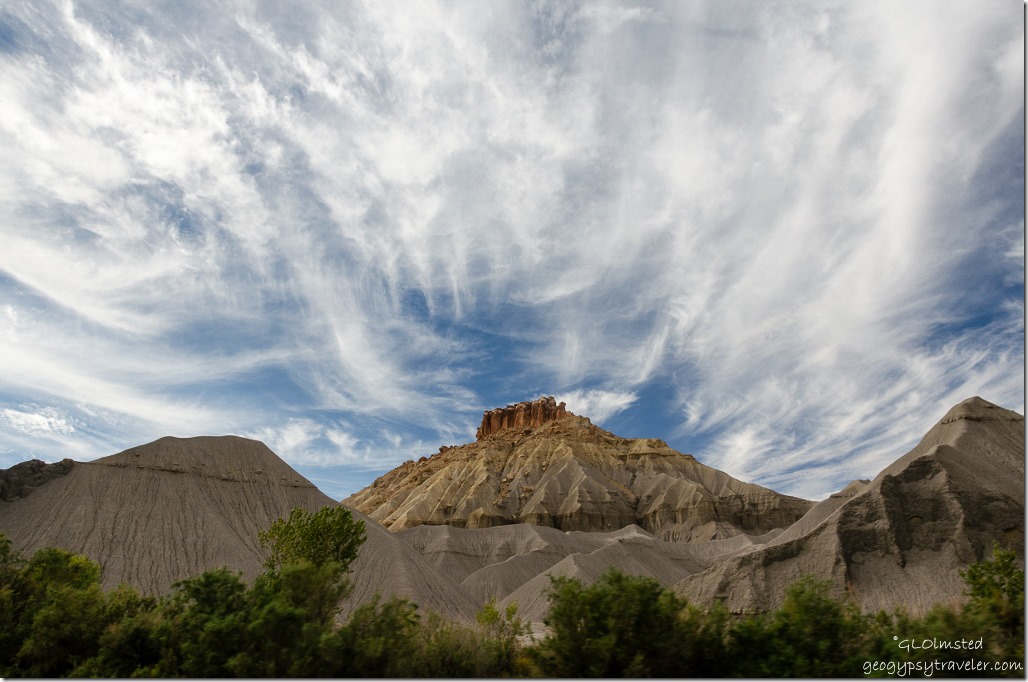
Maybe North Caineville Mesa Capitol Reef Country Scenic Byway UT24 UtahMaybe North Caineville Mesa

Maybe South Caineville Mesa Capitol Reef Country Scenic Byway UT24 UtahMaybe South Caineville Mesa

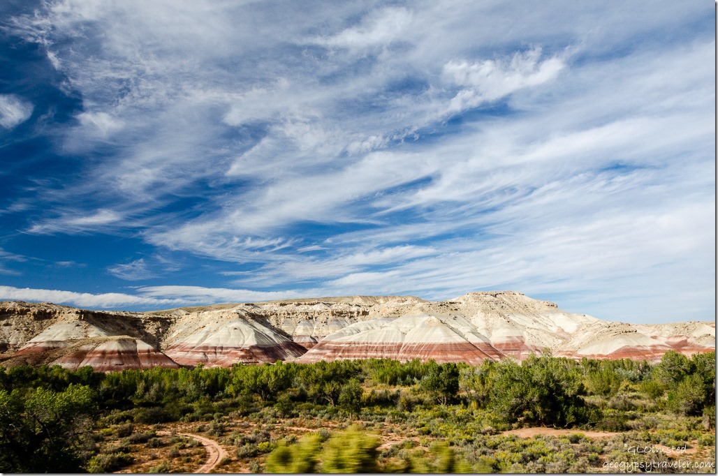
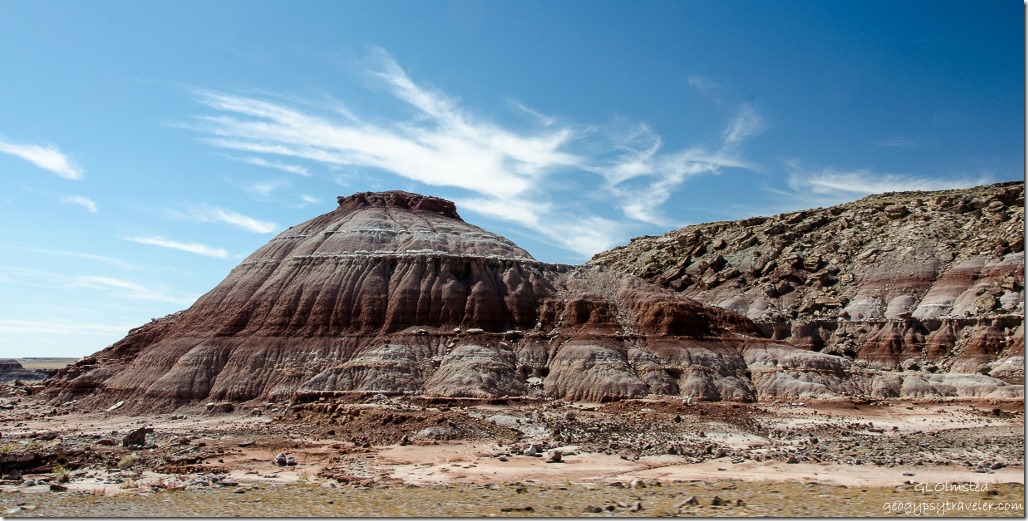
Mudhill bandlands composed of bentonite rich clay, mud and volcanic ash turned to stone slowly erodes away from the bases of both of the exposed sandstone of North and South Caineville Mesas.  Didn’t the clouds put on a beautiful show over the colorful formations?

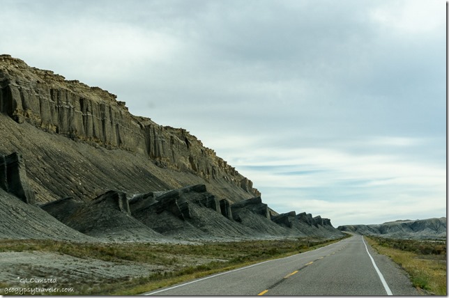
Caineville Reef Capitol Reef Country Scenic Byway UT24 UtahCaineville Reef

Then looming ahead as if to block the way rose the Caineville Reef, an extension of the San Rafael Reef to the north and merging with Capitol Reef’s Waterpocket Fold to the south.  Although there were shallow seas in this region around 200 million years ago these “reefs” are actually uplifts caused by forces of geologic compression during the Laramide Orogeny about 60 million years ago.  In many cases, settlers and pioneers named them “reefs” defined as a barrier.
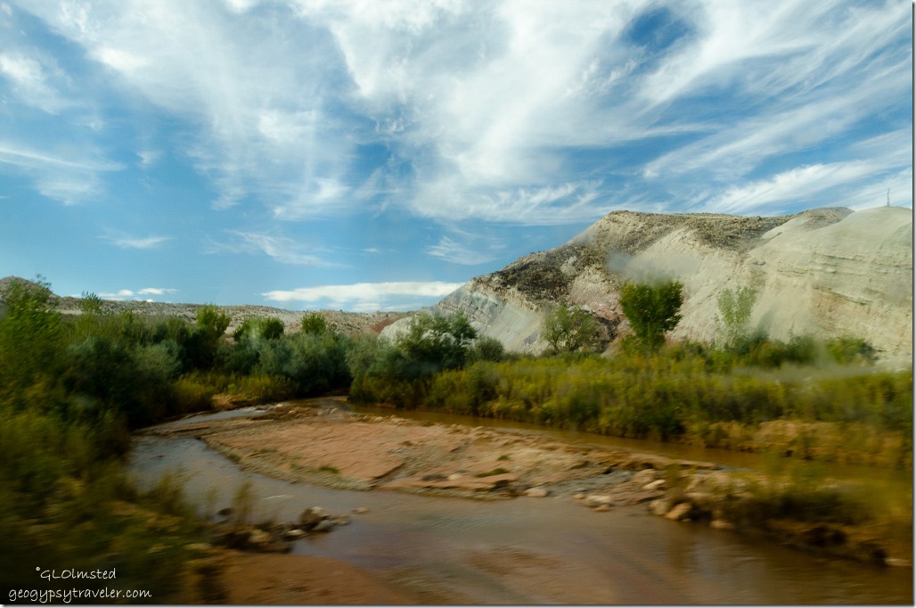
Freemont River Capitol Reef Country Scenic Byway UT24 UtahFreemont River through dirty side window on the fly

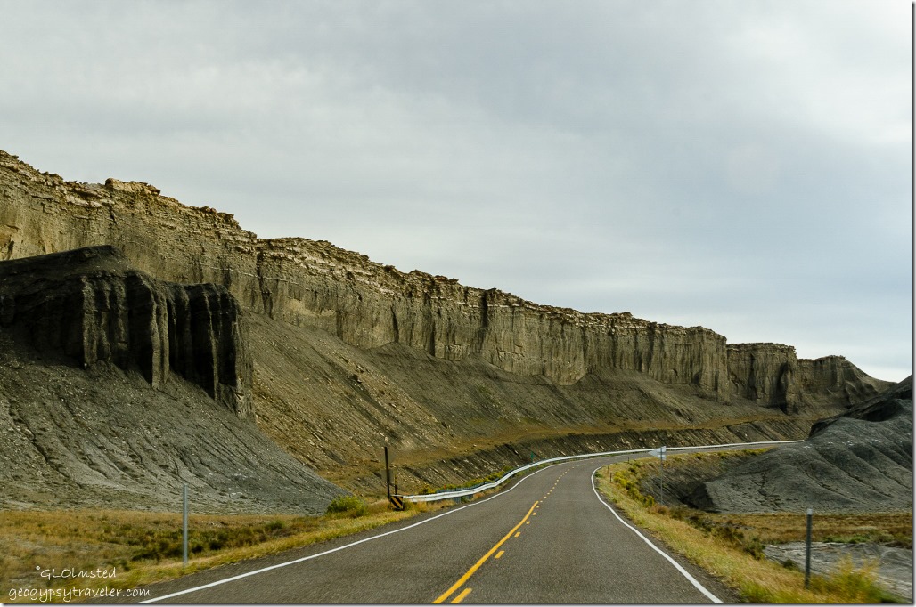
Caineville Reef Capitol Reef Country Scenic Byway UT24 UtahCaineville Reef

Crossed the Freemont River and paralleled Caineville Reef southward.

Caineville Reef Capitol Reef Country Scenic Byway UT24 UtahCaineville Reef

Maybe Red Desert Capitol Reef Country Scenic Byway UT24 UtahMaybe Red Desert

Maybe North Blue Flats Capitol Reef Country Scenic Byway UT24 UtahMaybe North Blue Flats

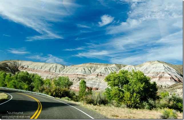
Then the road jogged west past the Red Desert, North Blue Flats and all too soon we entered Capitol Reef National Park.  Took a little over an hour from Hanksville with a couple of photo stops along the way.  Could take much longer by exploring those side roads.  A good excuse to return.
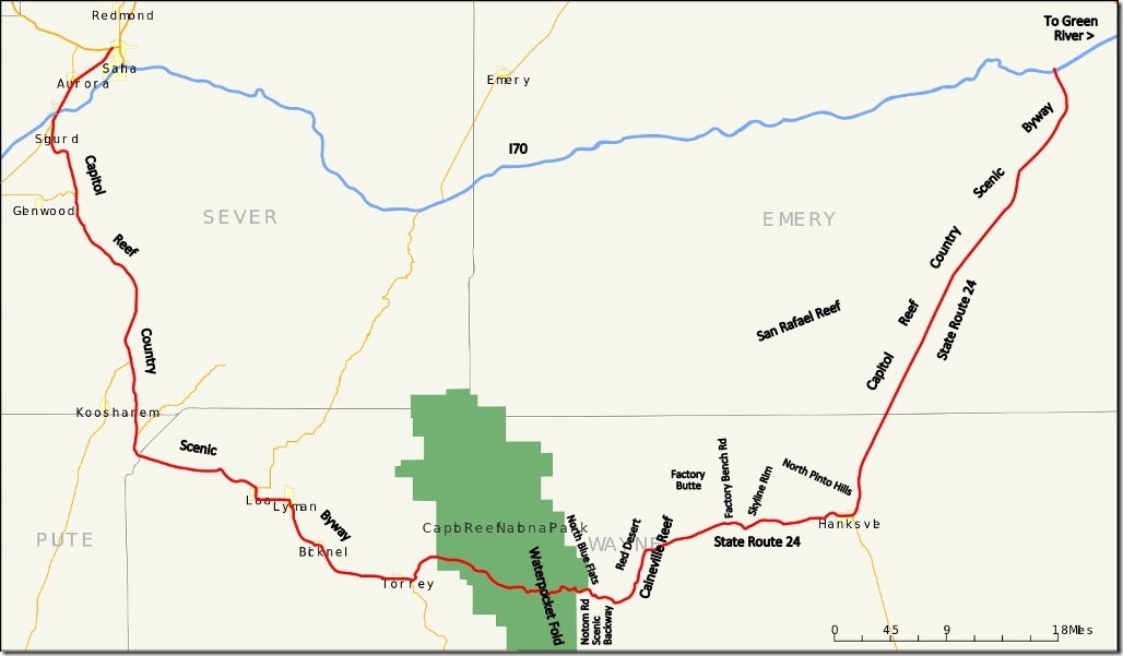
Map Capitol Reef Country Scenic Byway UtahMore nearby scenic drives to explore

The 160 mile (260 km) Capitol Reef Country Scenic Byway runs east and west between US50 near Salina and I70 near Green River between the Fishlake and Dixie National Forests then through Capitol Reef National Park and along the eastern side of the San Rafael Reef passing Goblin Valley State Park.  On the east side of Capitol Reef National Park the Notom Road Scenic Backway runs south from SR24 along the base of the Waterpocket Fold and junctions with the Burr Trail Road to Bullfrog Bay, Marina and Visitor Center on the shores of Lake Powell.

Push my buttons!

  • Facebook
  • Twitter
  • LinkedIn

Like this:

Like Loading...
Utah badlands, Capitol Reef Country Scenic Byway, Factory Butte, Freemont River 24 Comments
23 November 2015

Slow drive to Hanksville

October 1st, our last day of a way too short vacation took us from Arches National Park 375 miles to Kanab starting off with a slow drive to Hanksville.

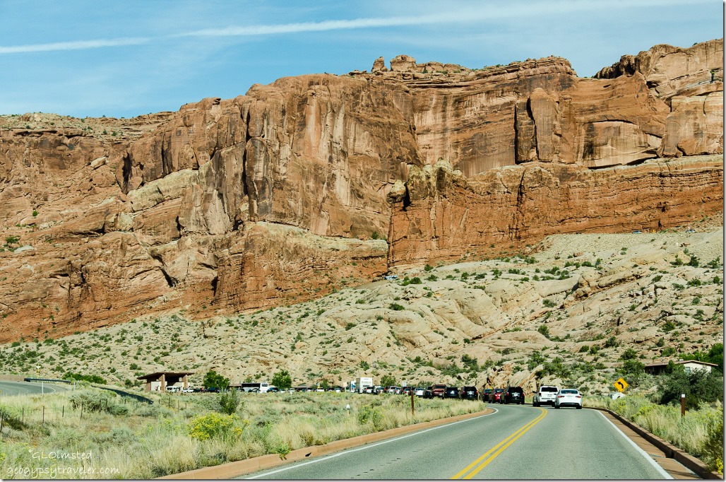
Waiting line at entrance station Arches National Park Utah

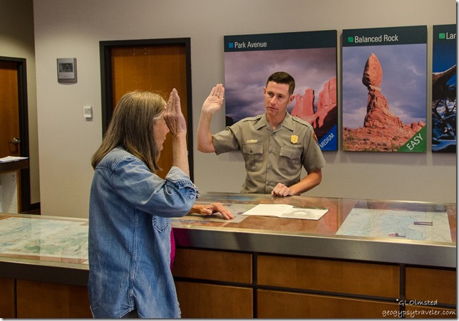
Gaelyn getting JR badge Arches National Park UtahAfter camping along the Colorado River at Big Bend Beach we returned to Arches National Park so I could get my Junior Ranger badge.  Waited in line at the entrance station probably 10-15 minutes.  We turned and drove right back out and now the line was clear to the main highway.  I fear we are loving our National Parks to death.

Headed north on US191 but stopped in only a few miles at the Dalton Wells CCC and concentration camp.  All that remains of what started off as a CCC camp between 1935-42 is the cottonwood trees planted by the enrollees of Camp DG-32.  Then WWII gave these young man a different mission and the camp became a place for “troublemakers” from the Manzanar California Relocation center, yet another concentration camp for Japanese-Americans.  I think the land still cries for these people.  I took no photos.

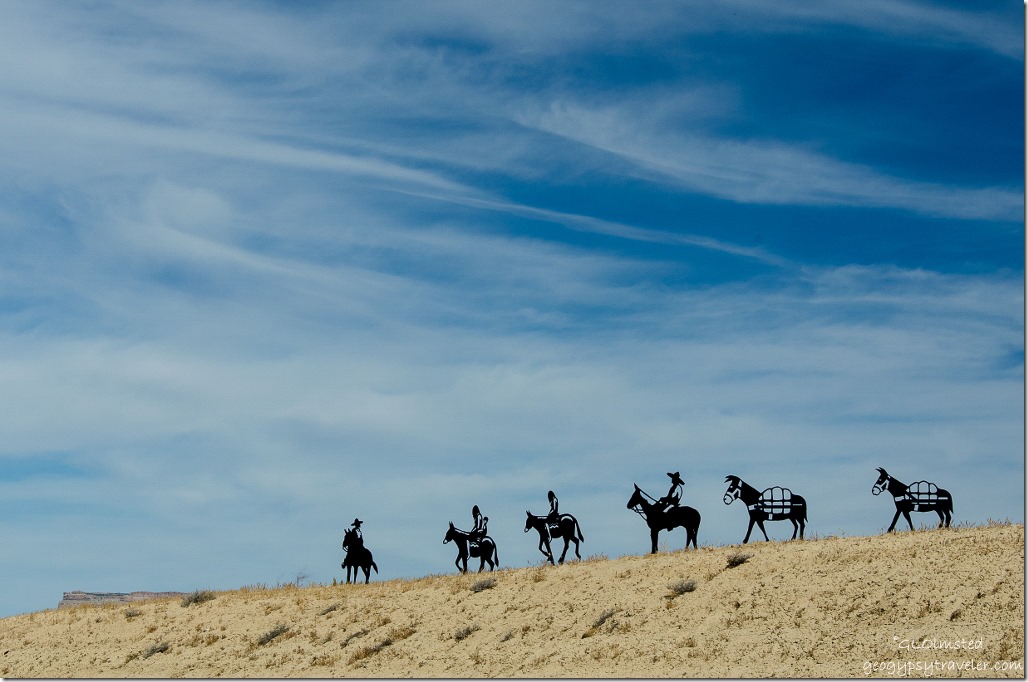
Metal sculpture Green River UtahGot off I 70 at Green River to be greeted by these metal sculptures of a pack train coming into town.  Can’t find any information on these.

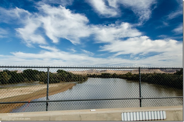
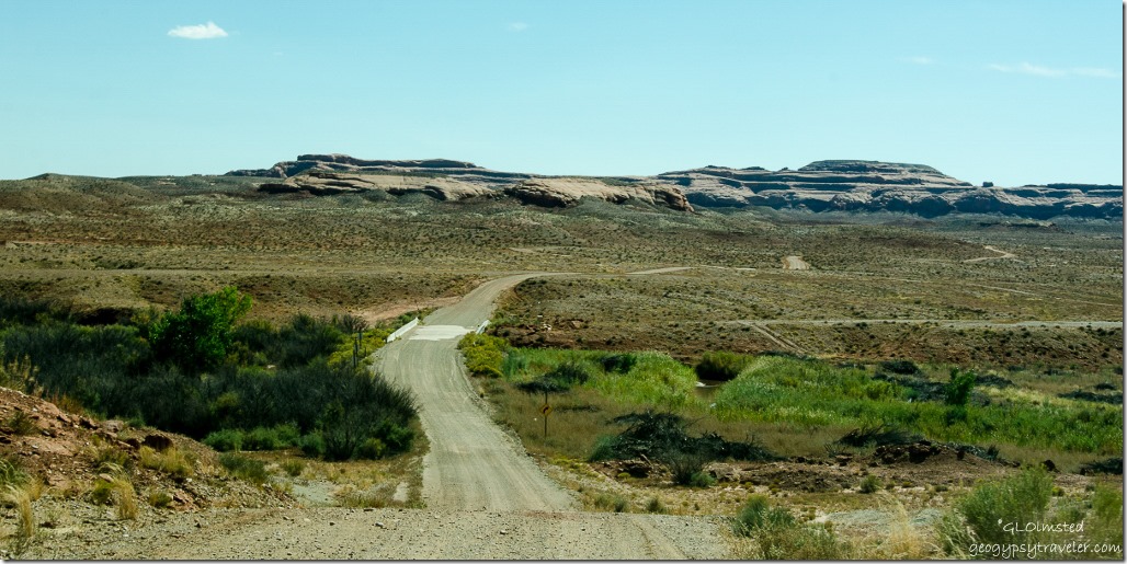
Green River UtahMade a pit stop at the John Wesley Powell River History Museum but knew we didn’t have time to explore it so jumped back in the truck, crossed the Green River and headed south at noon on some gravel back roads through the Green River and San Rafael Deserts.

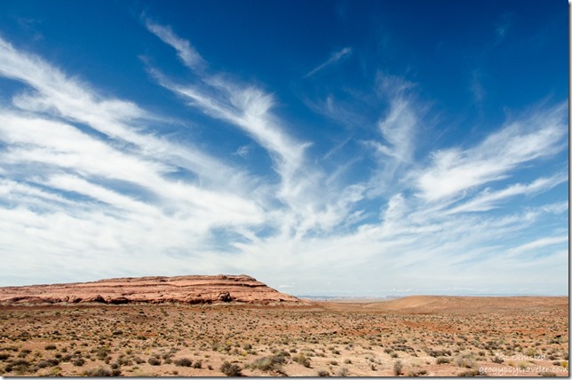
Green River desert Utah

San Rafael Valley Utah

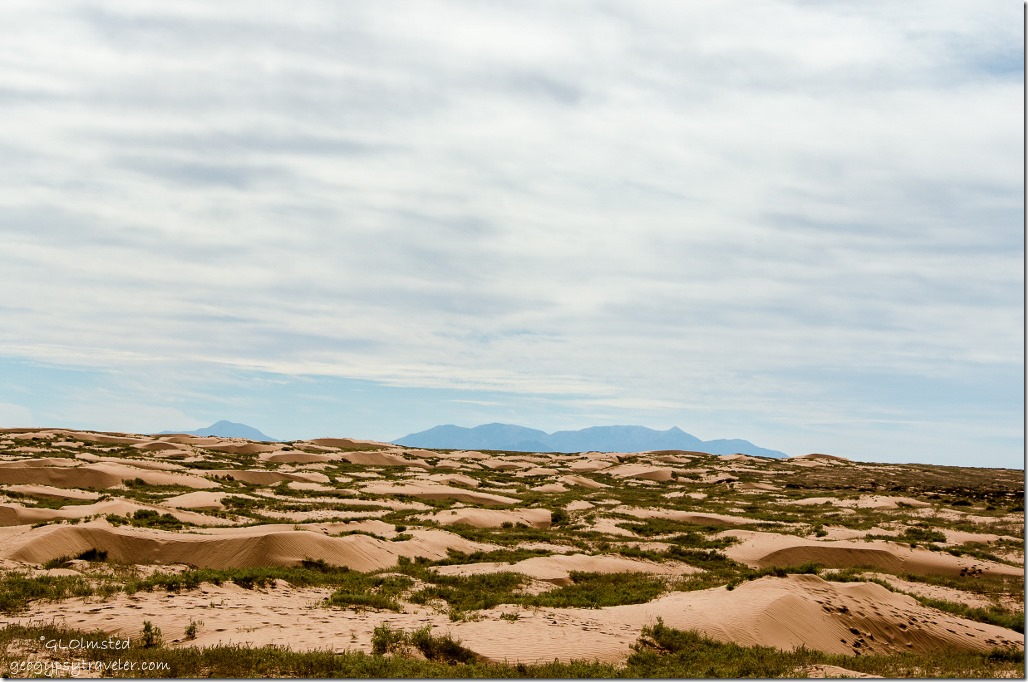
San Rafael desert Utah

Sand dunes & Henry Mountains San Rafael desert Utah

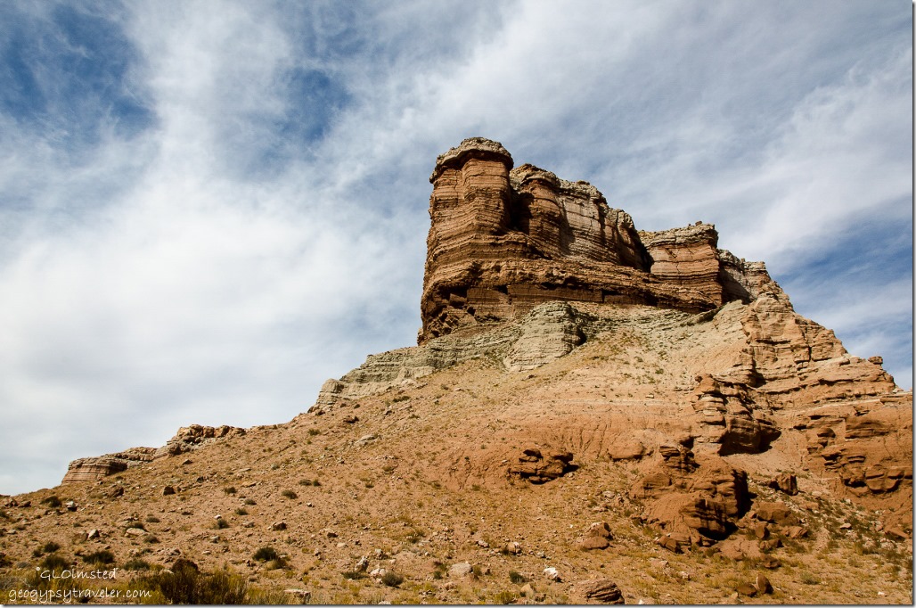
San Rafael desert UtahColorful, carved and contoured, a barren yet beautiful landscape.

Hans Flats Utah

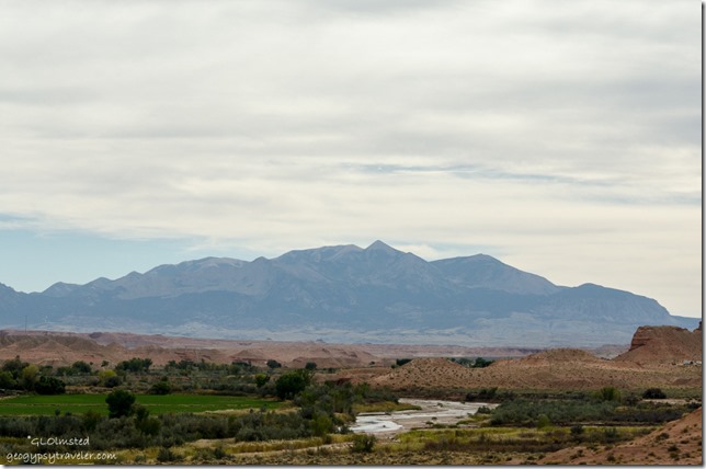
Henry Mountains UT24 south UtahA long and lonely drive.

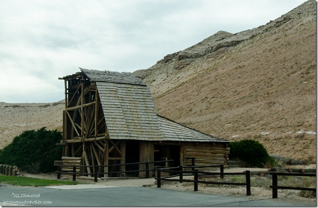
Wolverton Mill Hanksville UtahThree hours later we pulled into Hanksville, not much of a town.  Bill once lived and worked here for the Bureau of Land Management (BLM).  There is the historic Wolverton Mill built in the early 1900s by Edwin Thatcher Wolverton who searched for gold in the Henry Mountains.  Although the mill did process some ore it was abandoned in 1929.  It was a unique creation because it combined the functions of wood cutting and ore crushing.

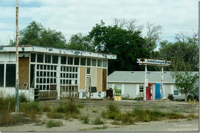
Abandoned fuel station Hanksville UtahAnd there’s the abandoned service station that was featured in the 1991 movie Rubin & Ed.  The tagline is “As soon as Ed saves Rubin’s life, he’s gonna kill him.”  Watched the movie later, kind of dumb.

In 15 minutes we were done with Hanksville and continued our journey home via Capitol Reef National Park.

Push my buttons!

  • Facebook
  • Twitter
  • LinkedIn

Like this:

Like Loading...
Utah Green River desert, Hanksville, San Rafael desert 18 Comments
18 November 2015

Camping along the Colorado River at Big Bend Beach

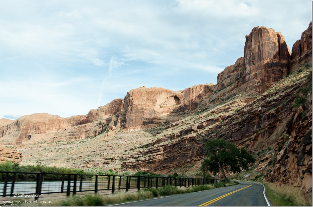
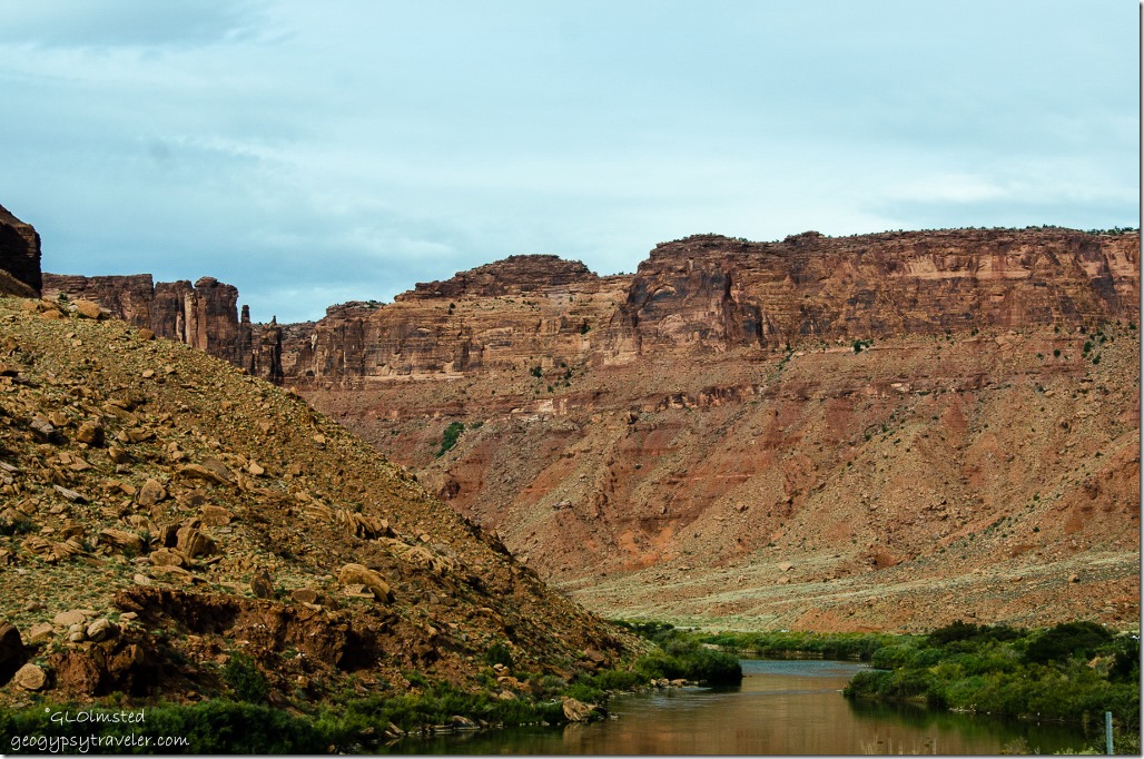
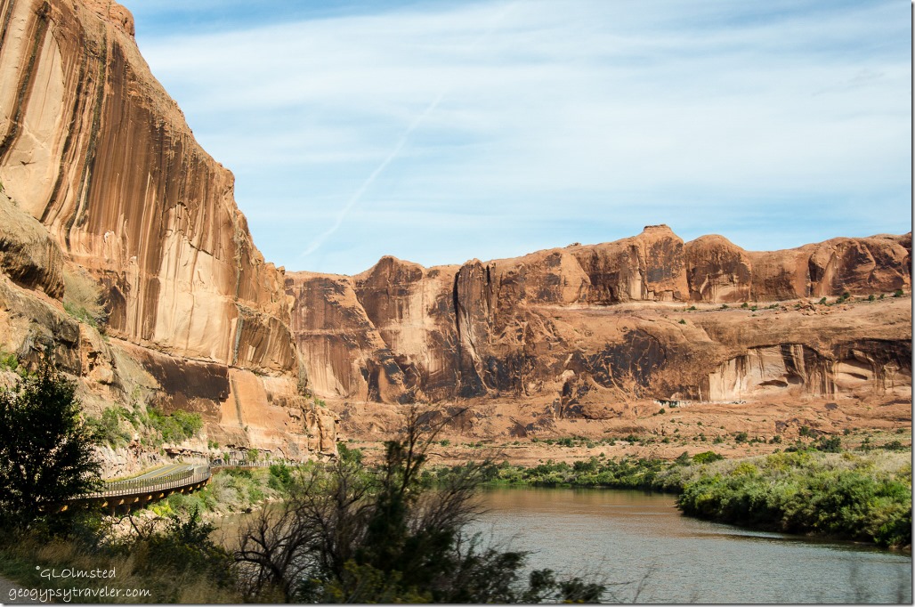
Colorado River UT128 Colorado Riverway Recreation Area UtahWe didn’t have much luck camping in national parks on this fall vacation and because Arches campground was full we went right outside the park to BLM (Bureau of Land Management) land and camped along the Colorado River at Big Bend Beach.

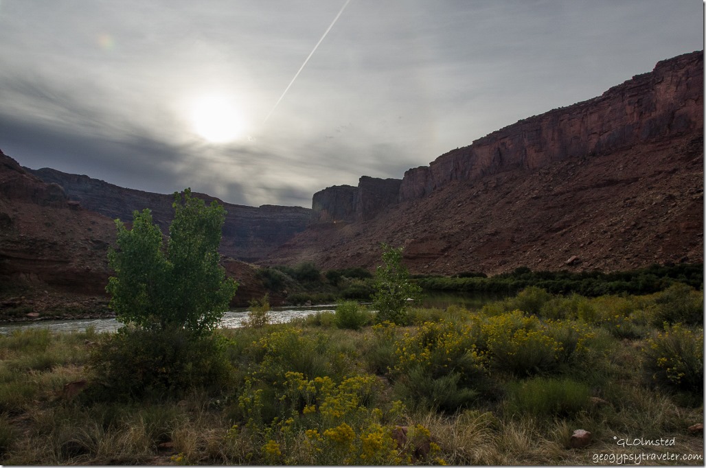
Colorado River UT128 Colorado Riverway Recreation Area UtahThere are seven campgrounds within 7.4 miles of US191.  Pulled into the first one and did the loop.  Full.  Second, third, fourth…you get the picture, all full.  Finally at the last one we got the last site.  And what a fantastic view of the Colorado River cutting through the towering sandstone bluffs.

Colorado River UT128 Colorado Riverway Recreation Area Big Bend Beach campground UtahSome of the sites look big enough for large RVs,  first come first serve, with picnic tables, drop-pit toilets and a few water spigots.  In fact BLM offers many “camps” along the Colorado Riverway further along UT128 30 miles to Dewey and on the southwest side of US191 on both sides of the river.  Paid half price with ‘Geezer’ card.

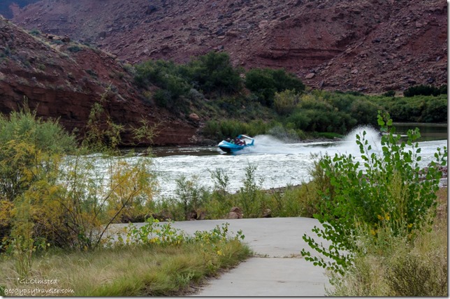
Boat on Colorado River Colorado Riverway Recreation Area Big Bend Beach campground UtahA loud noise caught my attention in this quiet landscape and a tour boat came whipping down stream full of smiling and screaming passengers.

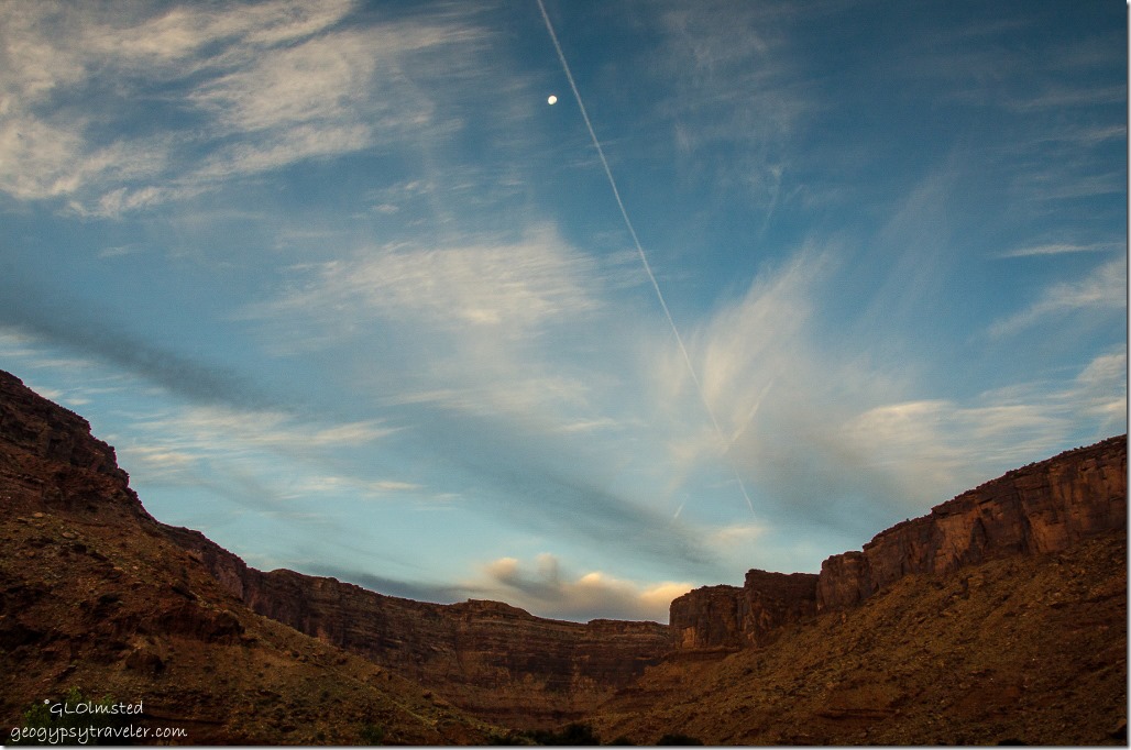
Morning light Colorado Riverway Recreation Area Big Bend Beach campground UtahWoke up to light slowly sliding down these steep canyon walls with the moon overhead.

Colorado River junction US191 and UT128 UtahPacked up camp, headed to US191 and turned north towards I70 where we’d go west to Green River on the way home to Kanab saying goodbye to the Colorado River.  We did take a long drive to Hanskville before crossing through Capitol Reef National Park on the way.  Our last day of vacation on the 1st of October.


Push my buttons!

  • Facebook
  • Twitter
  • LinkedIn

Like this:

Like Loading...
Utah Big Bend Beach, BLM, camping, Colorado River 17 Comments
← Older posts
Newer posts →

Hi, I’m Gaelyn, the Geogypsy

I retired after 29 summer seasons as a Park Ranger, traveling solo for 40+ years. My passions include travel, connecting to nature, photography, and sharing stories.

I started exploring US National Parks in 1977 and 20 years later became a seasonal Park Ranger.  I’ve lived full-time in a RV for 30 years working summers and playing winters.  I’m still trying to figure out what I want to be when I grow old, other than grow up.

Let’s share our stories.  Here’s more of mine…

My wheeleastate

I am currently…

…boondocking somewhere in southern Arizona.  In the area, give a shout.

Geogypsytraveler on YouTube

Follow my journey on YouTube. Just click the pic. Hope you’ll like, share, and subscribe.

Click image for 7 minute documentary (Password “geogypsy” lowercase)

Making the Gypsy documentary is a story of its own.  Click below for the rest of the story.

Living nomadically & connecting to nature documentary

Subscribe to Blog via Email

Enter your email address to subscribe to this blog and receive notifications of new posts by email.

Photos available for sale include prints, greeting cards, coffee mugs, tote bags, phone cases and more

Reflected Wave 24X16 metal print under $100

Custom Coffee Mugs

Many items to choose from including prints

The Last Blast 24 x 16″ metal print under $100

Need a signal boost? When I boondock on public lands sometimes signal is weak or intermittent and a booster helps. Click the pic to visit WeBoost.

Connecting to nature and the rest of the world too.

Please contact me for photo purchases not seen at GLOlmsted Photography

Order fulfillment is by Fine Art America. If you’re not happy with your purchase, for any reason, simply return it within 30 days, and you’ll receive a full refund of the purchase price.

Why read Geogypsy?

The gypsy life spring-summer 1998 - "You were a real pioneer. RV'ing before it was cool." ...Yogi

How do you process photos? - “Your photographs create an Emotional feeling in the viewer...that they become One with You.” …Cindy

Life’s transitions between travel and work play - "I know you love your job as much as you love travel -- it shines through all your posts." ...Sallie

Lions at Kruger National Park - “Wonderful post, thank you. I was hooked start to finish!” … Peter B

11 lessons looking back 2013 - “A great post -- made me think, made me smile, made me want to cry." ...Sallie

Wildlife video Kruger National Park - “Gorgeous, this makes me want to go straight to South Africa now.” … Ayngelina

Living nomadically & connecting to nature documentary - “What an experience you had and gave to the "crew." Sometimes I think you don't realize how unique and inspiring you are.” …Alan

Search

Popular Posts

1. Prioritize the well-being of nature over photography. 2. Educate yourself about the places you photograph. 3. Reflect on the possible impact of your actions. 4. Use discretion if sharing locations. 5. Know and follow rules and regulations. 6. Always follow Leave No Trace principles and strive to leave places better than you found them. 7. Actively promote and educate others about these principles

Categories

Archives

Sites I follow, read & recommend

  • A Full-time Life
  • A Yankee in Belgrade
  • Bob's Eyes
  • Box Canyon Blog
  • Camels and Chocolate
  • Dawns bloggy blog
  • In the Direction of Our Dreams
  • Jane in her infinite wisdom
  • Janie and Steve, Utah Trails
  • Kathie's Birds
  • Las Adventuras
  • Memorable Meanders
  • Oh, The Places They Go
  • On the Road Abode
  • Port Elizabeth Daily Photo
  • Stillhowlyntravels
  • Take to the Highway
  • Technomadia
  • the good luck Duck
  • Travel with the Bayfield Bunch
  • Wandering Earl
  • Wheeling It
  • Yogi's Den

Caught in a Slot 9×12 canvas print under $50

If you don’t like what’s going on in your government, contact your Congress

Directory of Senators

Directory of Representatives

Lijit

© Copyright 2008-2024. Geogypsytraveler.com
%d