• Home
  • About Geogypsy
    • Herstory
    • Parks where I’ve worked
  • Places I’ve been
    • United States
      • Arizona
        • Antelope Slot Canyon
        • Casa Grande Ruins National Monument
        • Colossal Cave Mountain Park
        • Flagstaff
        • Glen Canyon National Recreation Area
        • Grand Canyon National Park
          • Grand Canyon National Park North Rim
          • Grand Canyon National Park South Rim
          • Toroweap
        • Havasu Canyon
        • Horseshoe Bend
        • Jerome
        • Kaibab National Forest
        • Lee’s Ferry
        • Meteor Crater
        • Navajo Bridge
        • Oak Creek Canyon
        • Painted Desert
        • Pipe Springs National Monument
        • Prescott
        • Quartzsite
        • Saguaro National Park
        • Sedona
        • Sunset Crater Volcano National Monument
        • Vermilion Cliffs
        • Walnut Canyon National Monument
        • Wupatki National Monument
        • Yarnell
      • California
        • Anzaberrego
        • Bakersfield
        • Death Valley National Park
        • Joshua Tree National Park
        • Redwoods NP
        • Salton Sea
        • Yucca Valley
      • Colorado
        • Mesa Verde National Park
      • Florida
      • Illinois
        • IL River
        • Morton Arboretum
        • Starved Rock State Park
      • Michigan
      • Nevada
      • New Mexico
      • Oregon
        • Crater Lake NP
        • Mt Hood
        • Oregon Caves National Monument
      • Texas
        • Alpine Texas
        • Padre Island
        • Port Isabel
        • Rio Grande Valley
      • Utah
        • Brian’s Head
        • Bryce Canyon National Park
        • Buckskin Gulch
        • Cedar Breaks National Monument
        • Cedar City
        • Coral Pink Sand Dunes State Park
        • Dixie National Forest
        • Grand Staircase Escalante National Monument
        • Johnson Canyon
        • Kanab
    • World Travels
      • Germany
      • Mexico
      • South Africa
  • Tours
  • Photography
  • Work with Me
    • Sponsors
  • Contact
Geogypsy
Menu
  • Home
  • About Geogypsy
    • Herstory
    • Parks where I’ve worked
  • Places I’ve been
    • United States
      • Arizona
        • Antelope Slot Canyon
        • Casa Grande Ruins National Monument
        • Colossal Cave Mountain Park
        • Flagstaff
        • Glen Canyon National Recreation Area
        • Grand Canyon National Park
          • Grand Canyon National Park North Rim
          • Grand Canyon National Park South Rim
          • Toroweap
        • Havasu Canyon
        • Horseshoe Bend
        • Jerome
        • Kaibab National Forest
        • Lee’s Ferry
        • Meteor Crater
        • Navajo Bridge
        • Oak Creek Canyon
        • Painted Desert
        • Pipe Springs National Monument
        • Prescott
        • Quartzsite
        • Saguaro National Park
        • Sedona
        • Sunset Crater Volcano National Monument
        • Vermilion Cliffs
        • Walnut Canyon National Monument
        • Wupatki National Monument
        • Yarnell
      • California
        • Anzaberrego
        • Bakersfield
        • Death Valley National Park
        • Joshua Tree National Park
        • Redwoods NP
        • Salton Sea
        • Yucca Valley
      • Colorado
        • Mesa Verde National Park
      • Florida
      • Illinois
        • IL River
        • Morton Arboretum
        • Starved Rock State Park
      • Michigan
      • Nevada
      • New Mexico
      • Oregon
        • Crater Lake NP
        • Mt Hood
        • Oregon Caves National Monument
      • Texas
        • Alpine Texas
        • Padre Island
        • Port Isabel
        • Rio Grande Valley
      • Utah
        • Brian’s Head
        • Bryce Canyon National Park
        • Buckskin Gulch
        • Cedar Breaks National Monument
        • Cedar City
        • Coral Pink Sand Dunes State Park
        • Dixie National Forest
        • Grand Staircase Escalante National Monument
        • Johnson Canyon
        • Kanab
    • World Travels
      • Germany
      • Mexico
      • South Africa
  • Tours
  • Photography
  • Work with Me
    • Sponsors
  • Contact

Category: Utah

23 July 2019

Traveling to Tropic Reservoir Dixie National Forest near Bryce Canyon

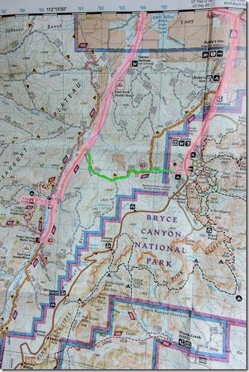
map Bryce Canyon National Park & Dixie National Forest UtahTropic Reservoir is only about 4 miles west from where I live (green line), as the Raven flies.  However to drive to Tropic Reservoir required (pink lines) 3 miles out of the park, 2 miles west on SR12, and 7 miles south on the East Fork Road or FR087 (Forest Road).  Not all that far to drive but could have been closer.
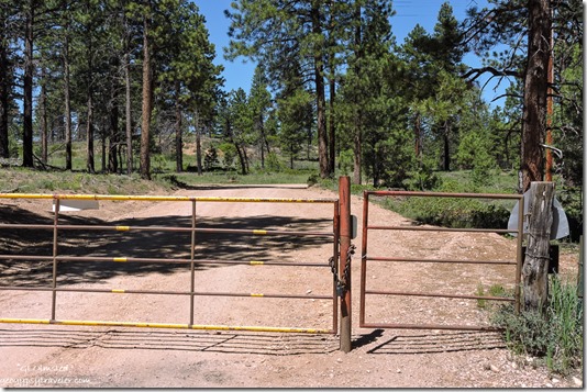
gate Mixing Circle & FR 088 Bryce Canyon National Park UtahMy RV home is parked along the fence line dividing Bryce Canyon National Park and the Dixie National Forest.  It’s a pretty place to live under the Ponderosa Pines.

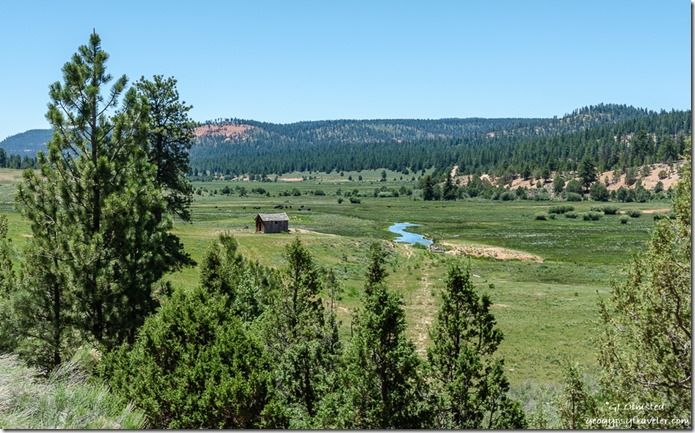
trees valley buildingg East Fork Sevier River mountains FR087 Dixie National Forest UtahEast Fork Sevier River

And it’s a pretty drive to visit the meadows and forest on the Dixie, especially once on FR087 headed south along the dusty gravel road to Tropic Reservoir.
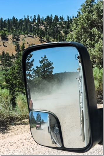
OHV dust FR087 Dixie National Forest UtahAnd I do mean dusty.  Even the signs reminding drivers of the 25mph to reduce dust, doesn’t seem to mean much to most folks.  Lots of OHV (off highway vehicles) which are fancy enough to be enclosed so they don’t eat their own dust versus the open kind where all riders are helmeted and faces covered with bandanas.  Me, I’m a lollygag, so I pull over and let them speed by, often just waiting for their dust to subside.
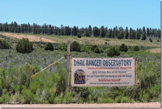
Dark Ranger Observatory sign FR087 UtahSaw where some local Dark Rangers have a telescope setup not far down the road.  We enjoy some of the darkest skies in the west around here.
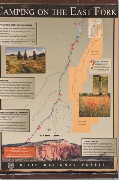
camping on the East Fork sign FR087 Dixie National Forest UtahI didn’t go to camp, however I wanted to know about the Dixie’s restrictions on designated dispersed camping rules, which seem unusual for a national forest.  But I get it because some folks abuse the land, leave a mess, drive over plants, and start fires.  In the Powell Ranger District the policy is to protect the “holistic watershed restoration in cooperation with land management agencies, private land owners, and other interested parties.”  I’m glad someone is thinking about watersheds and how humans have an impact.  I didn’t drive south of Tropic Reservoir.
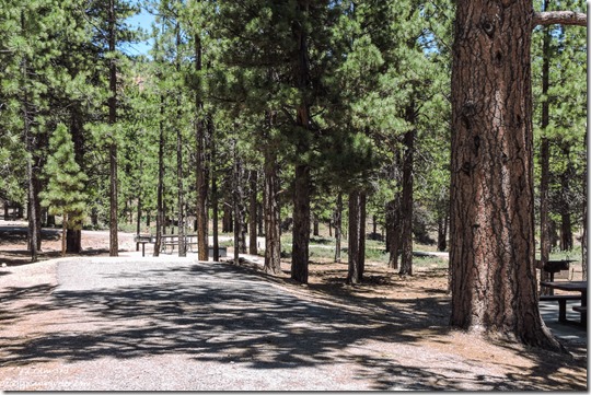
campsite Kings Creek campground Dixie National Forest UtahThese 10 free sites are located south of the Kings Creek campground with 38 sites at $15/night with no hookups but toilets nearby, first come first served for all campsites.
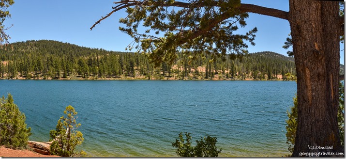
trees Tropic Reservoir King Creek boat launch area Dixie National Forest UtahThere is also a boat launch ramp within 1/2-mile of the campground into the Tropic Reservoir which averages 10-25 feet deep.  During the heat of summer the water level can drop below the concrete ramp pad.  The reservoir is stocked with brook, rainbow, brown, and cutthroat trout and open for fishing with a valid Utah state license.  I watched a couple of families with kids swimming on the ramp area.
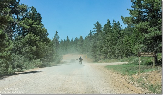
OHV dust FR087 Dixie National Forest UtahKings Creek is a favorite of OHV enthusiasts, but not me, because of its easy access to a large network of trails and gravel roads. The Fremont ATV trail passes within 1/4 mile of the campground and the Great Western Trail is nearby.  Hiking and mountain biking trails are plentiful as well, with access from various points within the campground.  Too much dust.
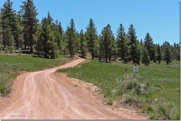
meadow trees FR088 Great Western trail Dixie National Forest UtahI saw sideroad FR088 and later learned that connects to the FR back to where I live.  It’s also part of the Great Western trail, a north-south long distance multiple use route which runs from Canada to Mexico.  No wonder I occasionally hear what I thought was motorcycles.
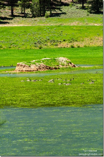
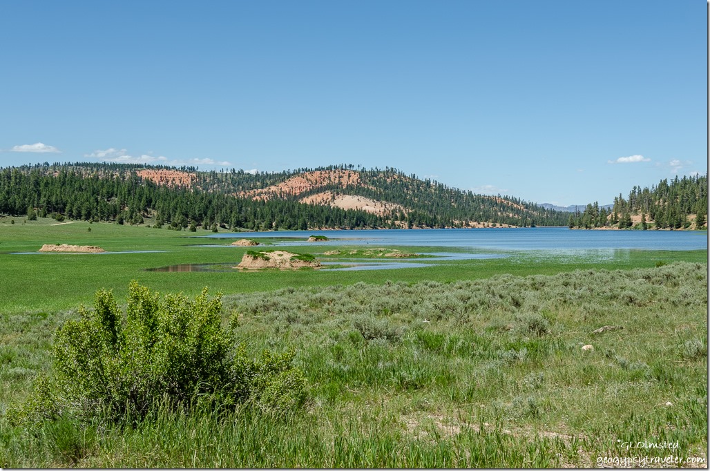
grass water trees red cliffs Tropic Reservoir Dixie National Forest Utah

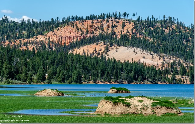
Tropic Reservoir Geese birds trees red rock Dixie National Forest Utah

water Geese birds island grass road trees FR087 Tropic Reservoir Dixie National Forest UtahAlso turned out to be a great place for bird watching.  Although difficult to see even zoomed in all the way those dots look like Canadian Geese to me.
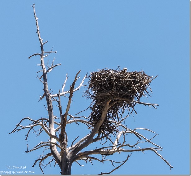
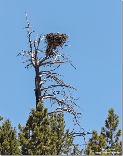
Osprey nest snag FR087 Dixie National Forest Utah

Osprey bird pooping snag tree FR087 Tropic Reservoir Dixie National Forest UtahLightening the load

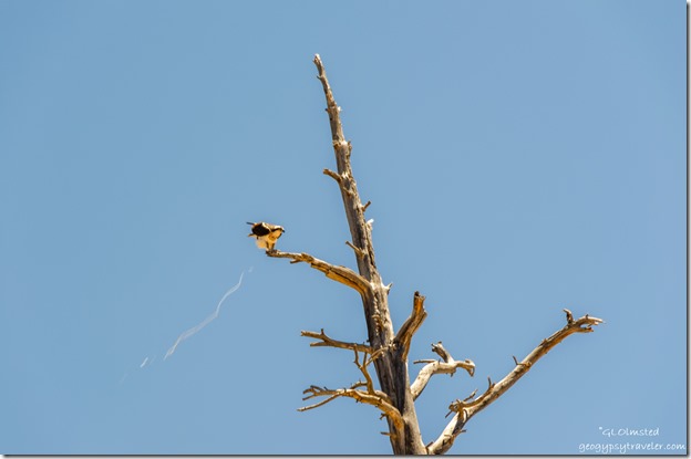
Osprey nest snag FR087 Dixie National Forest UtahI saw this huge nest, then heard the cry of Osprey, a bird I haven’t seen in a long time.  Finally saw one, then two in the tree tops.  Not sure if this is a ‘youngster’ in the nest.  As usual, not the sharpest shots as I find birds difficult to photograph.
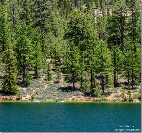
people paddle boards Tropic Reservoir Dixie National Forest UtahI’d seen some people on paddle boards and taken a few shots.  Then while at the Tropic Spring ran into them, exchanged contact information, and later sent them pics.
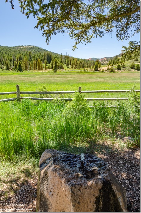
water grass fence meadow mountain Tropic Spring FR087 Dixie National Forest UtahThe water bubbled up through a pipe in a boulder and smelled good and tasted fine, so I filled a couple containers from a spigot on the side.  As did the folks mentioned above.  Then a crew of OHV folks arrived to quench their dusty thirst and it was time to move on.
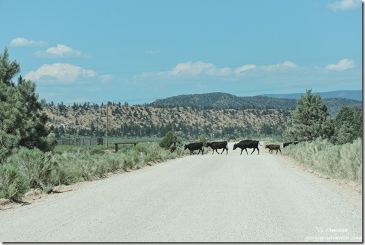
cows crossing FR087 Dixie National Forest UtahAnd head home.  Of course the Dixie National Forest is range land.

Push my buttons!

  • Click to share on Facebook (Opens in new window) Facebook
  • Click to share on X (Opens in new window) X
  • Click to share on LinkedIn (Opens in new window) LinkedIn

Like this:

Like Loading...
Dixie National Forest, Utah Bryce Canyon NP, Dixie National Forest, Kings Creek campground, Osprey, Tropic Reservoir 25 Comments
16 July 2019

Bryce Canyon sunsets, storms, rainbows – waiting for monsoon

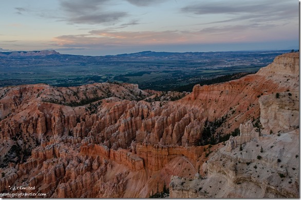
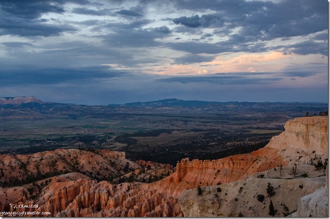
hoodoos amphitheater trees sunset clouds from Bryce Point Bryce Canyon National Park UtahI really have to make an extra effort to go out for Bryce Canyon sunsets because when I do, it’s always more than worth it.

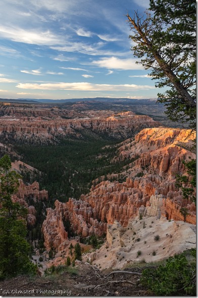
last light hoodoos cliffs valley trees clouds from Bryce Point Bryce Canyon National Park UtahSeems like I don’t get out of my RV home much after a full 9+ hour day of work.  Or sometimes my schedule has me working through sunset and I’m not at the rim.  I’ve been working quite a few late shifts.

hoodoos amphitheater sunset clouds from Bryce Point Bryce Point Bryce Canyon National Park UtahBack in June I took a chance on Bryce Point for sunset.  Considering the entire amphitheater basically faces east it hardly makes sense to have Sunrise and Sunset overlooks a half-mile walk apart and both facing east.  (Who names these vistas anyway?)  Yet Bryce Point hooks around enough to provide a northwest to east view.

hoodoos valley plateaus reverse sunset clouds from Bryce Point Bryce Point Bryce Canyon National Park UtahI’d been sending visitors there for over a month and it proved to be right on.  Yet it’s always a luck of the cloud draw.

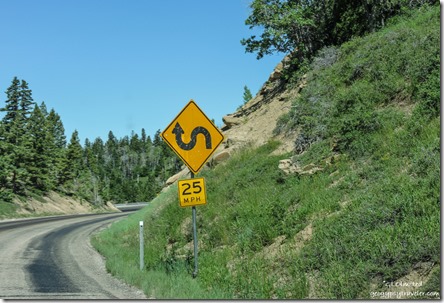
curve sign SR14 Dixie National Forest UtahShopping last week took me to Cedar City via a pretty drive on SR14, more on that later.

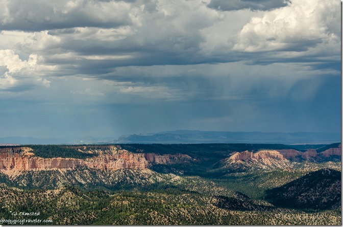
stormy sky east of Rainbow Point Bryce Point Bryce Canyon National Park UtahOne day last week under cloudy and possibly stormy skies my work schedule took me to the end of Bryce’s scenic drive to Rainbow Point.  Presented two almost back-to-back 20-minute programs about the Grand Staircase geology.

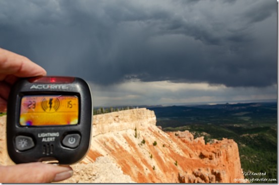
lightning detector stormy view Southeast from Yovimpa Point Bryce Point Bryce Canyon National Park UtahYovimpa Point

Carried a small lightning detector that made noise and varied from 15 miles (no worries) to six miles which is a concern.  I do love the energy of a good storm.  However, I don’t want to be too close so also warned visitors.

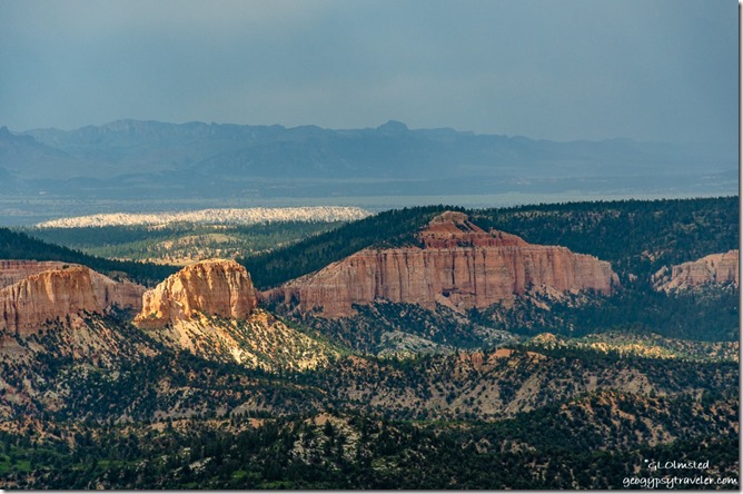
light & shadow amphitheater from Rainbow Point Bryce Point Bryce Canyon National Park UtahOnly dropped a few sprinkles.  So not sure if it counts as beginning of monsoon season.  I’d be delighted if a good rain would wipe out the obnoxious biting gnats.   I seem to be having an allergic reaction with much itching, swelling, some blisters and bruises.  Just can’t bring myself to use bug spray.  Not sure which is worse.

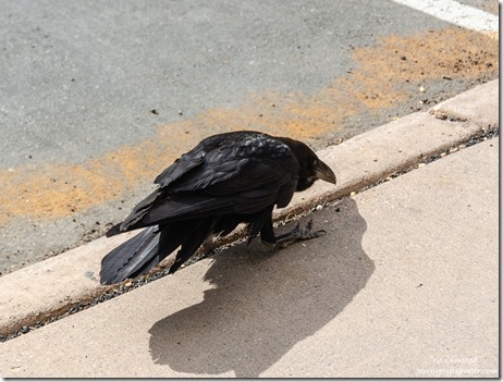
Raven Rainbow Point Bryce Point Bryce Canyon National Park UtahAn exceedingly pesky Raven in the parking lot allowed visitors within only a few feet in the obvious hope of food.  Of course not a good thing, so I used the teaching moment before hazing it away.
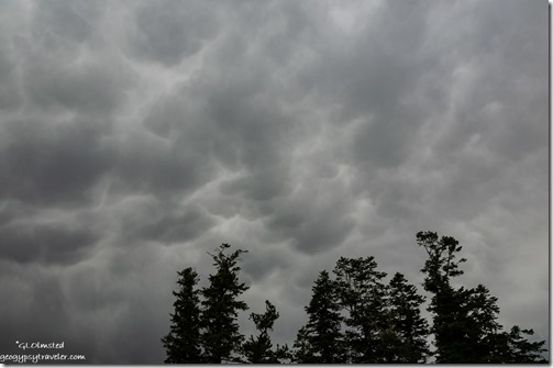
trees mammatus clouds Rainbow Point Bryce Point Bryce Canyon National Park UtahBecause of the cloud cover scopes didn’t go that night so I went home early.

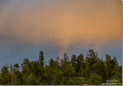
trees rainbow sunset clouds from RV Bryce Point Bryce Canyon National Park UtahI should have gone to the rim for sunset with a rainbow thrown in.  Instead I watched from my windows.

Sinking Ship valley light & shadow Aquarius Plateau clouds Bryce Point Bryce Canyon National Park Utah

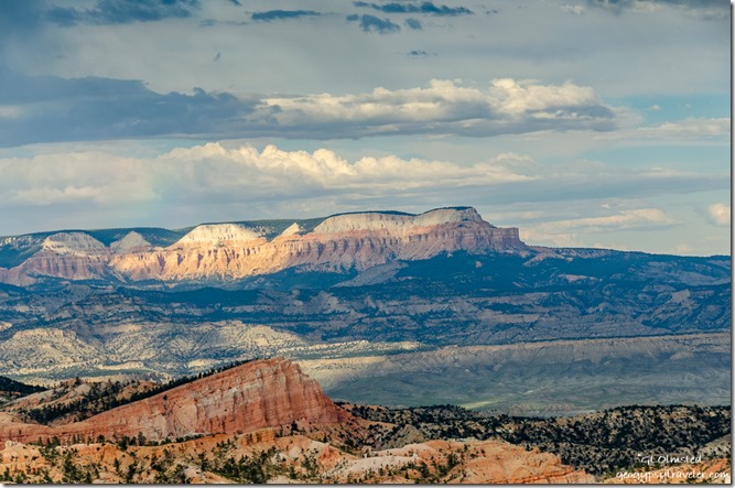
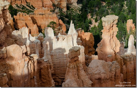
Light & shadow hoodoos Bryce Point Bryce Canyon National Park UtahThe next night, before my evening program at the lodge, I roved briefly on the rim and caught some of the westering light on the Aquarius Plateau and the hoodoos down below.  Clouds continued to tease with dramatic skies and little rain.

After a full day of programs and closing the visitor center I came home, quickly changed, and went back out to Bryce Point for sunset.

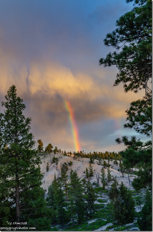
trees rainbow sunset clouds Bryce Point Bryce Point Bryce Canyon National Park UtahOn the drive I saw a rainbow and hurried to park and shoot it without breaking the speed limit too much.  Under the late evening light the white limestone hills almost look like snow.

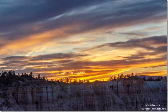
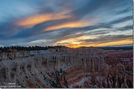
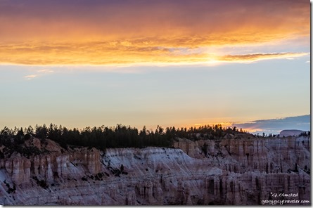
sunset over rim from Bryce Point Bryce Point Bryce Canyon National Park UtahAt first the actual sunset didn’t look like much.

reverse sunset from Bryce Point Bryce Point Bryce Canyon National Park UtahI preferred the reverse colors and light.

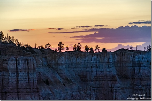
trees sunset clouds over rim from Bryce Point Bryce Point Bryce Canyon National Park UtahBut I remind myself to turn around again and again so as not to miss an opportunity.  It’s not every night I see colorful Bryce Canyon sunsets.

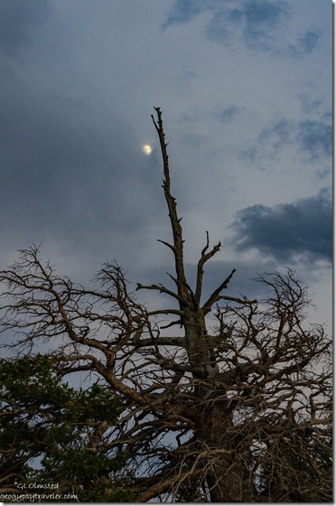
snag moon clouds Bryce Point Bryce Point Bryce Canyon National Park UtahOn the walk back to my truck, an almost full moon tries to shine through clouds.  Ah, next up, full moon.

Linking to Skywatch Friday.

Push my buttons!

  • Click to share on Facebook (Opens in new window) Facebook
  • Click to share on X (Opens in new window) X
  • Click to share on LinkedIn (Opens in new window) LinkedIn

Like this:

Like Loading...
Bryce Canyon National Park, Utah hoodoos, rainbows, stormy sky, sunsets 42 Comments
02 July 2019

Water brings life to Mossy Cave and Tropic Ditch

Still connecting the dots exploring around Bryce Canyon National Park which includes Mossy Cave and Tropic Ditch.  As a Park Ranger at Bryce this summer, I’ve been asked to lead a 1 1/2 hour walk and talk at this location during GeoFest on July 26 and 27.  My last visit to the site nine years ago as a visitor had faded from mind except for the memory of water.

6-12-2019

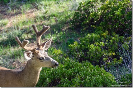
Buck Mule Deer from RV window Bryce Canyon National Park UtahAwoke on my Monday to a bright sunrise and a pair of Mule Deer about 30 feet from my RV windows.  The buck looked mighty handsome with his velvet rack.

My entire work morning was open for project time with afternoon ergonomic training.  So I asked to rove at the Mossy Cave and Tropic Ditch site.  Other than snow and rain I hadn’t seen natural water in the park since my end of April arrival.

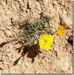
yellow Primrose flower Mossy Cave trail Bryce Canyon National Park UtahChecked out a radio and small NPS pickup truck for the drive north out of the main park area on SR63, through Bryce Canyon City, then east on SR12 about four miles and back into the park.  The *parking lot runs parallel to the road and doesn’t accommodate more than 30 cars, and nothing much larger than a car as I discovered the day before when I drove past on the way to the Tropic Trail.  I was happy at 10am to find a parking space.  Before I even got out of the rig a woman approached about her lost cellphone so I wrote down her info to transfer to an official lost and found form later.  I understand loosing things, but if it’s so important to take the phone how can someone set it down and forget it.  I think cell phones are the number one lost and found item in the park, but usually not for long.

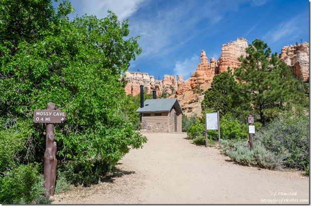
signs bathroom trees hoodoos trailhead Mossy Cave Bryce Canyon National Park UtahOnce out of the truck with hat on I was immediately bombarded by questions about where’s the trail and how far is the walk.  Signs certainly are not the best at this site although these same people were in sight of the old fashioned distance sign on a wooden post.  In all fairness, many visitors are stopping at this site before entering the main park and don’t even have a park map yet, if they could/would read it, and have no idea why they stopped except for seeing lots of cars.  Because I was there to see and learn about the place I happily referred to my park map as the extremely sun faded interpretive sign with a map was illegible.  Plus with so many social trails beyond the bathroom building it was difficult to distinguish where exactly to go.

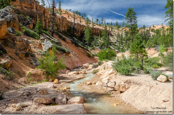
upstream Tropic Ditch Bryce Canyon National Park UtahUpstream

I headed for an obvious bridge across the flow of water with amazing views.

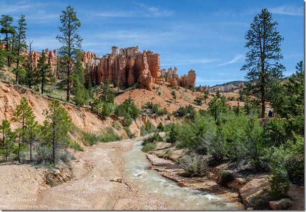
downstream Tropic Ditch Bryce Canyon National Park UtahDownstream

Nice to walk into this landscape up Water Canyon at the base of the hoodoos as I’m used to looking down on them from the rim.  Bonus knowing there is no hard climb back and only a 200 foot change in elevation overall.  As I sauntered along the trail I paused to answer visitor questions along the way.

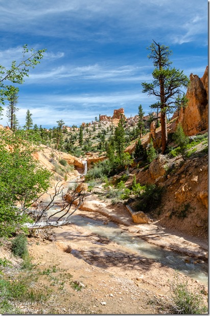
upstream Tropic Ditch waterfall trees hoodoos Bryce Canyon National Park Utah

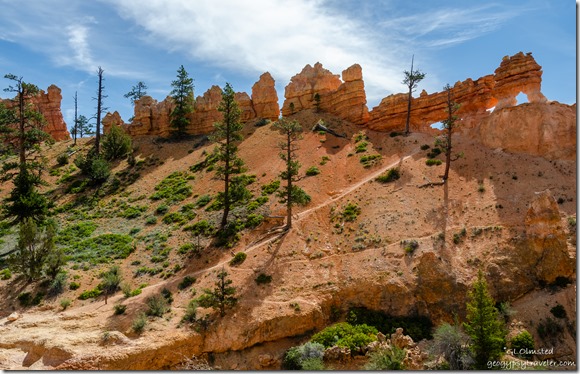
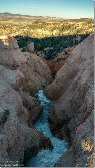
trees hoodoos windows above Tropic Ditch Bryce Canyon National Park UtahAfter the second bridge, I took the right fork in the trail to the top of the waterfall.  A visitor asked if they could cross the ditch and follow a clearly marked closed trail up to the windows.  There is no bridge at the top of the waterfall.  I’d say only a constant Ranger presence would stop that action.

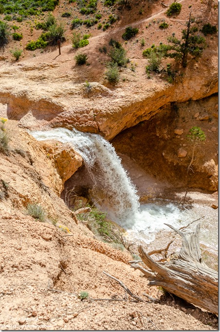
waterfall Tropic Ditch Bryce Canyon National Park Utah“Please stay on trail” signs are totally ignored.  Dead limbs laid across to discourage entrance have no effect.  Small signs about revegetating trampled areas are often kicked over.  Seems fencing of some deterrent kind is the only thing that will keep most visitors from creating trails every which way including loose, rock that is.  Rather sad to contain, enclose, and exclude people because they aren’t smart, educated, or respectful enough not to walk on vegetation.  Should these social trails become maintained trails also clearly marked in the hope people will use them and not make more trails?  Unlike some people, I like to stand at the edge, not dangerously too close mind you, and I appreciate the lack of rails and fences.

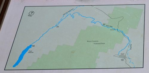
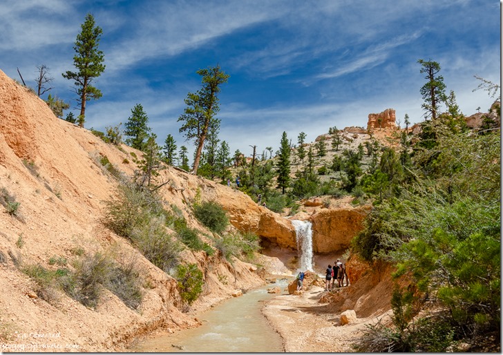
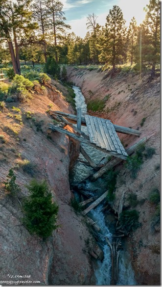
waterfall trees hoodoos Tropic Ditch Bryce Canyon National Park UtahI’m sure this seems like an unlikely place for a waterfall or barely any flowing water.  Determined Mormon settlers came to Bryce Valley in the late 1800s and discovered the Paria River went dry part of the year.  They solved that problem by hand-digging a 10-mile ditch across the Paunsaugunt Plateau from the East Fork Sevier River following water drainages where possible.  Quite a human accomplishment over two years but nothing new for us to alter an environment.  Probably the only way the settlements of Tropic and Cannonville could have survived.

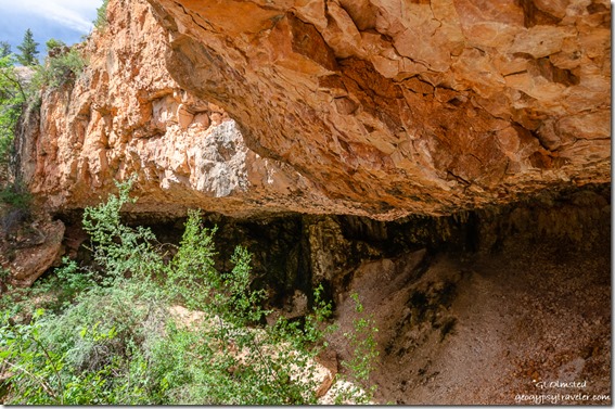
Mossy Cave Bryce Canyon National Park UtahNearby springs could not have provided enough water for developing towns.  Mossy Cave is a shallow cavern formed from eons of water seeping through the rock, it’s drippy, covered with moss and ferns, and also not accessible from the viewing platform.  This fragile ecosystem provides water to many animals and micro-environments plus shade and coolness in the afternoons.  Life is always attracted to water.

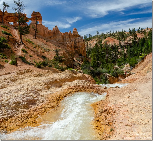
upstream waterfall Tropic Ditch Bryce Canyon National Park UtahReturned down the Mossy Cave trail, crossed and went back under the Tropic Ditch bridge.  I began to walk up along the ditch towards the waterfall, along with many visitors, a place where no signs indicated restriction.  However, getting all the way to the falls would entail sliding on my butt and I didn’t want orange seated uniform pants so passed on that part.  A good place to cool off on a warm day.

downstream Tropic Ditch Bryce Canyon City UtahDownstream

I spent about two hours exploring the waterfall, Mossy Cave, and the Tropic Ditch.  Yet I’m still connecting the dots and got lucky to see more of the ditch further west running adjacent to the telescope field for Astro Fest.  (More on that later.)  Every year since its completion in 1892 (except during the drought of 2002), this canal has supplied the communities of Tropic and Cannonville with irrigation water.

upstream Tropic Ditch Bryce Canyon City UtahUpstream

Eventually 5.5 miles of the open Tropic Ditch was replaced with pipeline to reduce the amount of salt reaching the Paria and ultimately the Colorado Rivers and conserve water lost to evaporation and seepage.  The water is allowed to run from May to October.  I hope to explore the beginning of the Tropic Ditch soon.

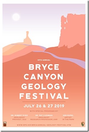
2019-Web-Poster*Bryce Canyon National Park is currently working on a plan with DOT to enlarge the parking along SR12 for Mossy Cave and Tropic Ditch.

Push my buttons!

  • Click to share on Facebook (Opens in new window) Facebook
  • Click to share on X (Opens in new window) X
  • Click to share on LinkedIn (Opens in new window) LinkedIn

Like this:

Like Loading...
Bryce Canyon National Park, Utah Mossy Cave, Mossy Cave trail, Tropic Ditch 27 Comments
← Older posts
Newer posts →

Hi, I’m Gaelyn, the Geogypsy

I retired after 29 summer seasons as a Park Ranger, traveling solo for 40+ years. My passions include travel, connecting to nature, photography, and sharing stories.

I started exploring US National Parks in 1977 and 20 years later became a seasonal Park Ranger.  I’ve lived full-time in a RV for 30 years working summers and playing winters.  I’m still trying to figure out what I want to be when I grow old, other than grow up.

Let’s share our stories.  Here’s more of mine…

My wheeleastate

I am currently…

…boondocking somewhere beautiful in the western USA.  I share my journey at https://www.youtube.com/@geogypsytraveler/    Please Subscribe there to follow my RV travels.

Geogypsytraveler on YouTube

Follow my journey on YouTube. Just click the pic. Hope you’ll like, share, and subscribe.

Click image for 7 minute documentary (Password “geogypsy” lowercase)

Making the Gypsy documentary is a story of its own.  Click below for the rest of the story.

Living nomadically & connecting to nature documentary

Subscribe to Blog via Email

Enter your email address to subscribe to this blog and receive notifications of new posts by email.

Photos available for sale include prints, greeting cards, coffee mugs, tote bags, phone cases and more

Reflected Wave 24X16 metal print under $100

Custom Coffee Mugs

Many items to choose from including prints

The Last Blast 24 x 16″ metal print under $100

Need a signal boost? When I boondock on public lands sometimes signal is weak or intermittent and a booster helps. Click the pic to visit WeBoost.

Connecting to nature and the rest of the world too.

Please contact me for photo purchases not seen at GLOlmsted Photography

Order fulfillment is by Fine Art America. If you’re not happy with your purchase, for any reason, simply return it within 30 days, and you’ll receive a full refund of the purchase price.

Why read Geogypsy?

The gypsy life spring-summer 1998 - "You were a real pioneer. RV'ing before it was cool." ...Yogi

How do you process photos? - “Your photographs create an Emotional feeling in the viewer...that they become One with You.” …Cindy

Life’s transitions between travel and work play - "I know you love your job as much as you love travel -- it shines through all your posts." ...Sallie

Lions at Kruger National Park - “Wonderful post, thank you. I was hooked start to finish!” … Peter B

11 lessons looking back 2013 - “A great post -- made me think, made me smile, made me want to cry." ...Sallie

Wildlife video Kruger National Park - “Gorgeous, this makes me want to go straight to South Africa now.” … Ayngelina

Living nomadically & connecting to nature documentary - “What an experience you had and gave to the "crew." Sometimes I think you don't realize how unique and inspiring you are.” …Alan

Search

Popular Posts

  • Geogypsy moved to YouTube June 15, 2025
1. Prioritize the well-being of nature over photography. 2. Educate yourself about the places you photograph. 3. Reflect on the possible impact of your actions. 4. Use discretion if sharing locations. 5. Know and follow rules and regulations. 6. Always follow Leave No Trace principles and strive to leave places better than you found them. 7. Actively promote and educate others about these principles

Categories

Archives

Sites I follow, read & recommend

  • A Full-time Life
  • A Yankee in Belgrade
  • Bob's Eyes
  • Box Canyon Blog
  • Camels and Chocolate
  • Dawns bloggy blog
  • In the Direction of Our Dreams
  • Jane in her infinite wisdom
  • Janie and Steve, Utah Trails
  • Kathie's Birds
  • Las Adventuras
  • Memorable Meanders
  • Oh, The Places They Go
  • On the Road Abode
  • Port Elizabeth Daily Photo
  • Stillhowlyntravels
  • Take to the Highway
  • Technomadia
  • the good luck Duck
  • Travel with the Bayfield Bunch
  • Wandering Earl
  • Wheeling It
  • Yogi's Den

Caught in a Slot 9×12 canvas print under $50

If you don’t like what’s going on in your government, contact your Congress

Directory of Senators

Directory of Representatives

Lijit

© Copyright 2008-2024. Geogypsytraveler.com
%d