• Home
  • About Geogypsy
    • Herstory
    • Parks where I’ve worked
  • Places I’ve been
    • United States
      • Arizona
        • Antelope Slot Canyon
        • Casa Grande Ruins National Monument
        • Colossal Cave Mountain Park
        • Flagstaff
        • Glen Canyon National Recreation Area
        • Grand Canyon National Park
          • Grand Canyon National Park North Rim
          • Grand Canyon National Park South Rim
          • Toroweap
        • Havasu Canyon
        • Horseshoe Bend
        • Jerome
        • Kaibab National Forest
        • Lee’s Ferry
        • Meteor Crater
        • Navajo Bridge
        • Oak Creek Canyon
        • Painted Desert
        • Pipe Springs National Monument
        • Prescott
        • Quartzsite
        • Saguaro National Park
        • Sedona
        • Sunset Crater Volcano National Monument
        • Vermilion Cliffs
        • Walnut Canyon National Monument
        • Wupatki National Monument
        • Yarnell
      • California
        • Anzaberrego
        • Bakersfield
        • Death Valley National Park
        • Joshua Tree National Park
        • Redwoods NP
        • Salton Sea
        • Yucca Valley
      • Colorado
        • Mesa Verde National Park
      • Florida
      • Illinois
        • IL River
        • Morton Arboretum
        • Starved Rock State Park
      • Michigan
      • Nevada
      • New Mexico
      • Oregon
        • Crater Lake NP
        • Mt Hood
        • Oregon Caves National Monument
      • Texas
        • Alpine Texas
        • Padre Island
        • Port Isabel
        • Rio Grande Valley
      • Utah
        • Brian’s Head
        • Bryce Canyon National Park
        • Buckskin Gulch
        • Cedar Breaks National Monument
        • Cedar City
        • Coral Pink Sand Dunes State Park
        • Dixie National Forest
        • Grand Staircase Escalante National Monument
        • Johnson Canyon
        • Kanab
    • World Travels
      • Germany
      • Mexico
      • South Africa
  • Tours
  • Photography
  • Work with Me
    • Sponsors
  • Contact
Geogypsy
Menu
  • Home
  • About Geogypsy
    • Herstory
    • Parks where I’ve worked
  • Places I’ve been
    • United States
      • Arizona
        • Antelope Slot Canyon
        • Casa Grande Ruins National Monument
        • Colossal Cave Mountain Park
        • Flagstaff
        • Glen Canyon National Recreation Area
        • Grand Canyon National Park
          • Grand Canyon National Park North Rim
          • Grand Canyon National Park South Rim
          • Toroweap
        • Havasu Canyon
        • Horseshoe Bend
        • Jerome
        • Kaibab National Forest
        • Lee’s Ferry
        • Meteor Crater
        • Navajo Bridge
        • Oak Creek Canyon
        • Painted Desert
        • Pipe Springs National Monument
        • Prescott
        • Quartzsite
        • Saguaro National Park
        • Sedona
        • Sunset Crater Volcano National Monument
        • Vermilion Cliffs
        • Walnut Canyon National Monument
        • Wupatki National Monument
        • Yarnell
      • California
        • Anzaberrego
        • Bakersfield
        • Death Valley National Park
        • Joshua Tree National Park
        • Redwoods NP
        • Salton Sea
        • Yucca Valley
      • Colorado
        • Mesa Verde National Park
      • Florida
      • Illinois
        • IL River
        • Morton Arboretum
        • Starved Rock State Park
      • Michigan
      • Nevada
      • New Mexico
      • Oregon
        • Crater Lake NP
        • Mt Hood
        • Oregon Caves National Monument
      • Texas
        • Alpine Texas
        • Padre Island
        • Port Isabel
        • Rio Grande Valley
      • Utah
        • Brian’s Head
        • Bryce Canyon National Park
        • Buckskin Gulch
        • Cedar Breaks National Monument
        • Cedar City
        • Coral Pink Sand Dunes State Park
        • Dixie National Forest
        • Grand Staircase Escalante National Monument
        • Johnson Canyon
        • Kanab
    • World Travels
      • Germany
      • Mexico
      • South Africa
  • Tours
  • Photography
  • Work with Me
    • Sponsors
  • Contact

Category: Grand Staircase Escalante National Monument

03 August 2015

Cottonwood Road Grand Staircase-Escalante National Monument

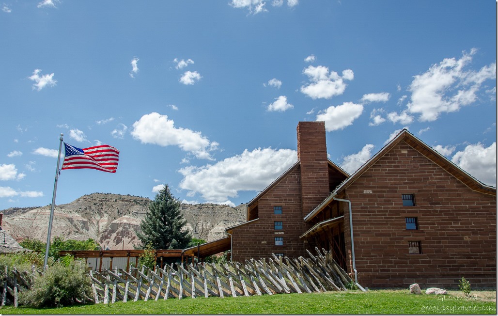
Grand Staircase-Escalante National Monument visitor center Cannonville UtahBill and I spent the morning exploring along the Skutumpah Road then stopped at the Cannonville Visitor Center to get a road report for the Cottonwood Road Grand Staircase-Escalante National Monument (GSENM).  Yet once again, no one working in the center knew if the road was open or not.

However, a visitor from Switzerland told us he’d driven it the day before and it was open and in good condition.  We chatted with him for a while and agreed to mail him a glossy brochure from Grand Canyon where he’d already visited and in return he promised to mail us some chocolate.  A very good trade.
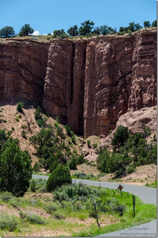
Breccia pipe 400 Rd Grand Staircase-Escalante National Monument UtahSo we headed off to Grosvenor Arch with a quick stop to see an interesting rock formation called a breccia tube, pipe or chimney, where you can see a deformation in the rock layers.  These pipes are a result of the collapse of an underlying limestone formation and serve as conduits of mineralizing solutions of copper ore or uranium.
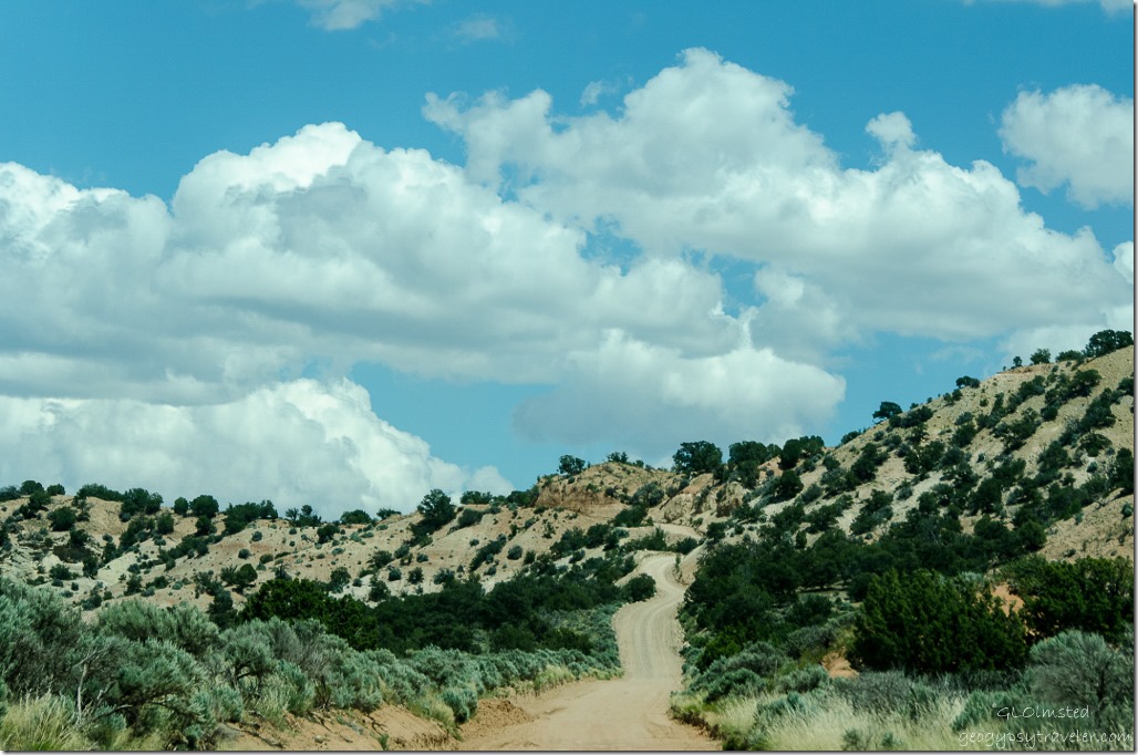
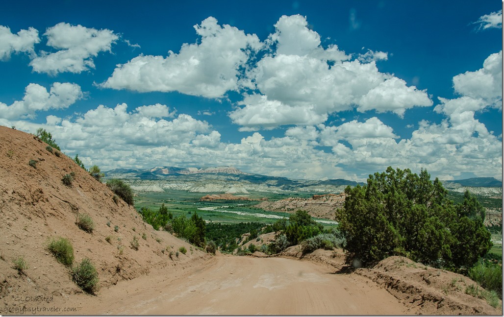
400 Road Grand Staircase-Escalante National Monument UtahThen more great road to drive through the rocky countryside as we passed on Kodachrome State Park due to so many other stops to make.  I’d come back with my truck to camp there for future explorations if the road is in decent condition or access off the paved State Highway 12 from north of Cannonville and also paved the 9 miles (14.48 km) south to the State Park.
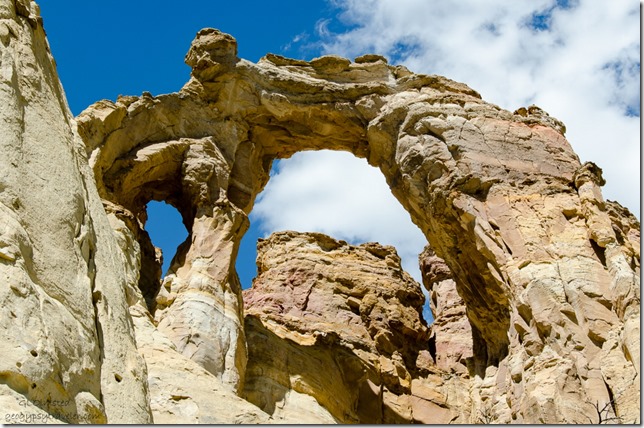
Grosvenor Arch 400 Road Grand Staircase-Escalante National Monument Utah

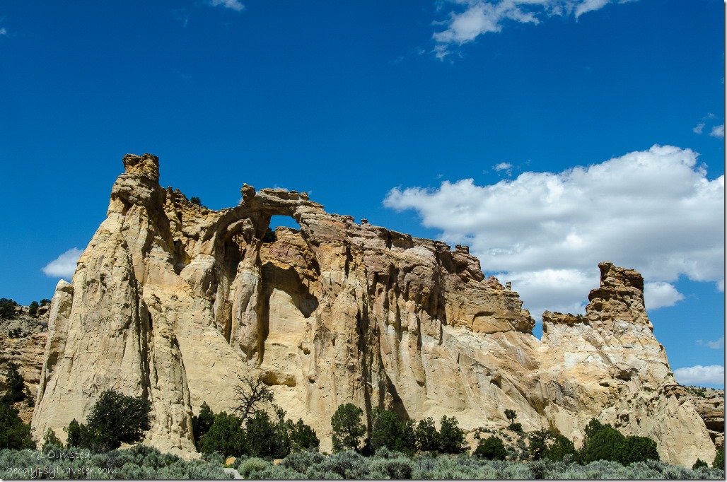
Grosvenor Arch 400 Road Grand Staircase-Escalante National Monument UtahIn a few miles the GSENM Road 440 turned east for a short drive to parking with picnic and “sweet” toilet facilities.  We ate lunch while admiring Grosvenor Arch, a 152 foot (46.32 m) high massive sandstone formation spanning 92 feet (28 m) with a rare double arch like Mother Earth’s cathedral.  Originally named Butler Arch, then later renamed to honor Gilbert Hovey Grosvenor a past president of the National Geographic Society.  Kodachrome State Park was also named during a 1948 National Geographic expedition.

I’d like to return and walk around this monolith of rock on a cooler day.  We catch up with the road-grading operator who tells us he’s just finished the Cottonwood Road so we can complete this loop drive with a couple more stops along the way.  The next day we reported to the Kanab visitor center about the good road conditions.
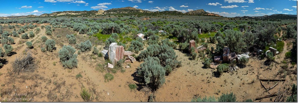
Gilgal 400 Road Grand Staircase-Escalante National Monument UtahBecause Bill worked for BLM, the managing agency for GSENM, he knows some rather off track places to explore.  I’d have driven right past this unmarked site down a disappearing two-track past three water tanks along the road.  Just a pile of rocks to some, the artist must have had a reason for two concentric circles of spaced blocks of alabaster to enclose an alter with a slit to observe summer solstice.
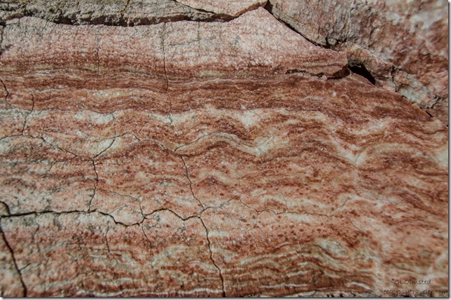
Alabaster at Gilgal 400 Road Grand Staircase-Escalante National Monument UtahNo sign tells the story of this now over grown creation.  Supposedly a sculpture who taught at BYU had a mining claim for the alabaster during the 1970s and could stack his rock as he saw fit.  The creation was called Gilgal, which while searching for more information I found the term means “circle of standing stones” and is mentioned in Joshua 4:19 – 5:12 when the Israelites placed 12 stones, presumably in a circle, after crossing the Jordan River.
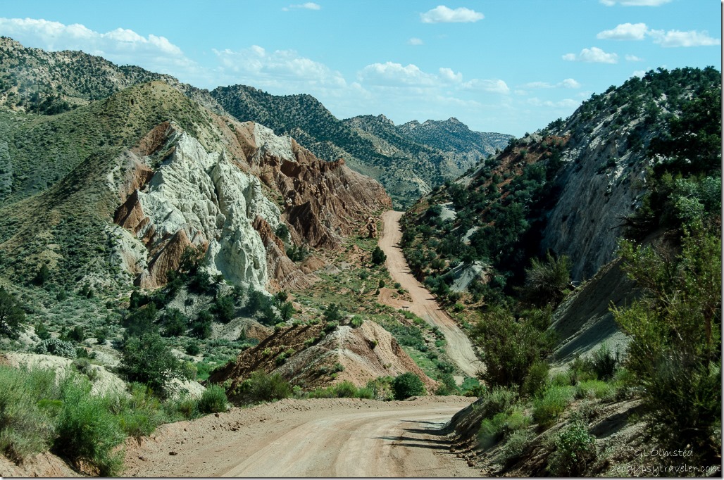
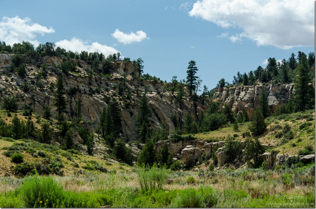
Cottonwood Road Grand Staircase-Escalante National Monument UtahCottonwood Canyon is beyond amazing nestled between two monoclines with enticing side canyons all along the way.  I may forever be trying to wrap my head around this geology.
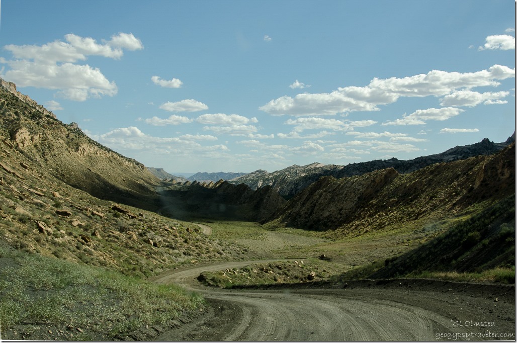
Flat Irons Cottonwood Road Grand Staircase-Escalante National Monument UtahThe Cockscomb is a series of flatirons along the East Kaibab monocline where strata are folded sharply downward to the east.  It extends 35 miles (56 km) from the Arizona border northward to Grosvenor Arch and acts as the boundary between the Grand Staircase and Kaiparowits sections of the national monument.
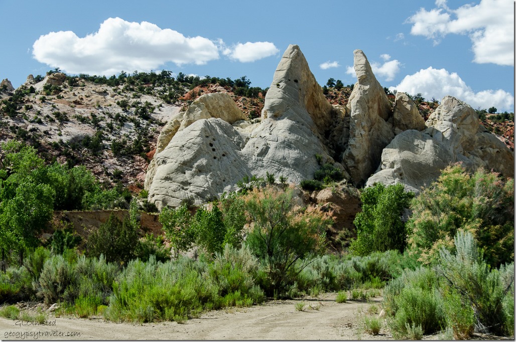
Teepee rocks Cottonwood Road Grand Staircase-Escalante National Monument UtahThese elongated series of ridges running along the valley created by erosion of upwardly-pointing folded rock layers leave behind scuplted shapes of Utah earth colors.
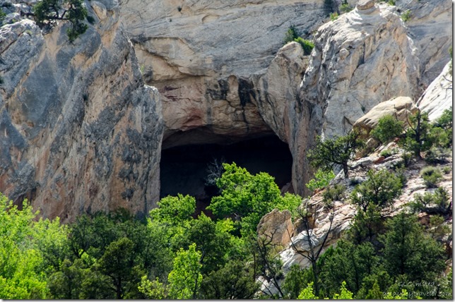
Cave Cottonwood Road Grand Staircase-Escalante National Monument UtahCaves, enticing canyons and trailhead names like Narrows, Lower Hackberry and the Paria Box, plus many unnamed that demand exploration.
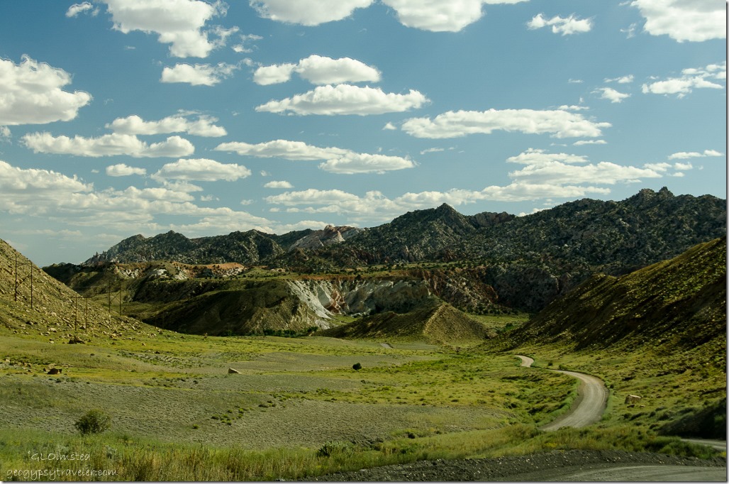
Cottonwood Road Grand Staircase-Escalante National Monument UtahThe road eventually drops into the Paria River Valley where flooding occasionally occurs making the route pretty much impassable.  Then it crosses a wide open undulating badlands before returning to State Route 89.
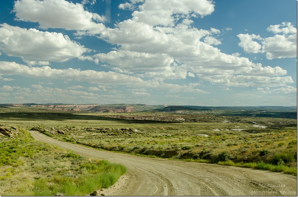
Cottonwood Road Grand Staircase-Escalante National Monument UtahIt was a long day with a lot of stops and the fall hiking list just keeps getting longer.

Push my buttons!

  • Facebook
  • Twitter
  • LinkedIn

Like this:

Like Loading...
Grand Staircase Escalante National Monument, Utah Cottonwood canyon, Cottonwood Road, Gilgal, Grosvenor Arch 22 Comments
27 July 2015

Kanab to Cannonville Grand Staircase-Escalante National Monument

Our Grand Staircase-Escalante National Monument loop drive began just east of Kanab, Utah off State Route 89 north on the paved Johnson Canyon Road, northeast on the gravel Skutumpah Road, a side trip to the Cannonville BLM Visitor Center, and south on the gravel Cottonwood Road back to State Route 89.

Colorado Plateau stratification Grand Staircase-Escalante National Monument Visitor Center Kanab UtahFirst stop was at the Kanab BLM Visitor Center to find out what the Skutumpah Road conditions were, and no body really knew.  But they did tell us the Cottonwood Road was closed beyond Grosvenor Arch.  So we told them we’d bring back a road report.  This is a very nice visitor center and I just love the big mural of the Grand Staircase.

Johnson Canyon Road Grand Staircase-Escalante National Monument UtahBeing we’d driven the Johnson Canyon Road a few weeks back, and I’ve posted about it before, I didn’t take many new photos.

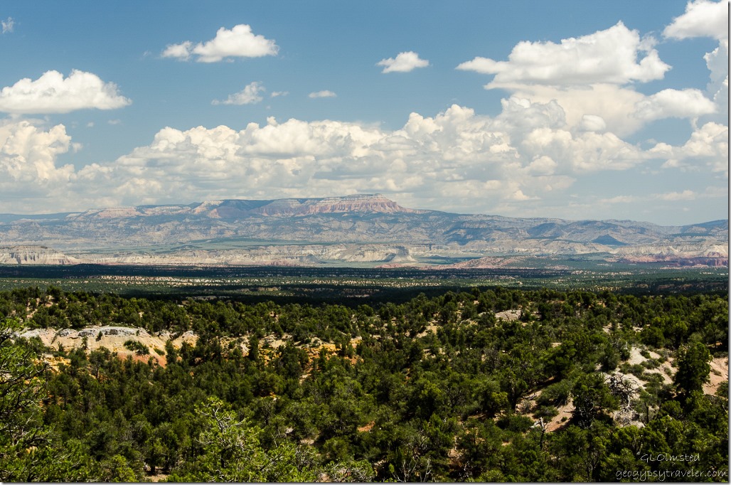
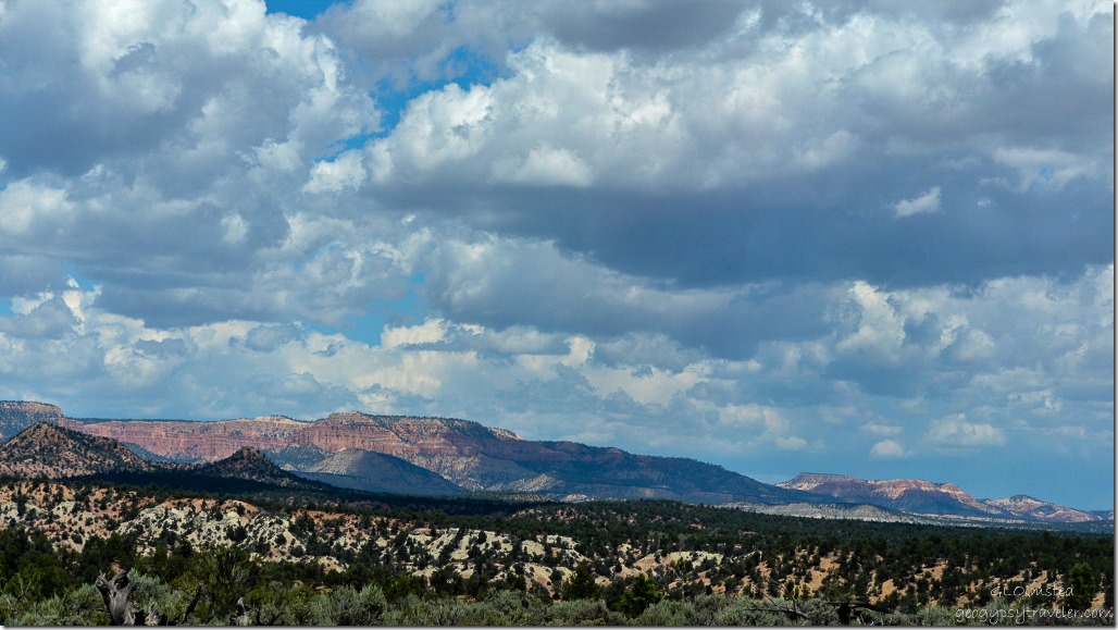
Paunsaugunt Plateau Skutumpah Road Grand Staircase-Escalante National Monument UtahYet once we got onto the Skutumpah Road there were many worthy sights, vistas and stops for reconnaissance for future hikes.  A far view can be seen from this beautiful drive through rugged high desert of the Paunsaugunt Plateau at 7,000-9,300 feet (2133 m-2834m) where the weirdly eroded spires and hoodoos of Bryce Canyon are cut into.  The unusual looking names are derived from the Paiute language.  Skutumpah (scoot-um-paw) means “the place where rabbitbrush grows and squirrels are found.”  Saw lots of brush and a few squirrels.  Paunsaugunt (PAWN-suh-gant) is the name for “home of the beavers.”

Lick Wash Skutumpah Road Grand Staircase-Escalante National Monument UtahA quick stop at Lick Wash where the Navajo Sandstone walls carved by eons of water beckoned for a future hike of possibly 4 miles (6.4) each way to the junction with Park Wash.  Actually, all the side canyons looked like promising places to hike, trail or not.

Powell Point Skutumpah Road Grand Staircase-Escalante National Monument UtahPowell Point was a constant landmark being the highest point in the Grand Staircase at 10,188 feet (3105 m).  Named in 1879 by geologist Clarence Dutton in honor of John Wesley Powell the point is held up by the white and pink limey cliffs of the 55 million-year old Claron Formation deposited by freshwater shallow lakes and streams.  These are the same deposits seen eroded into spires, badlands and hoodoos at Bryce Canyon and Cedar Breaks.

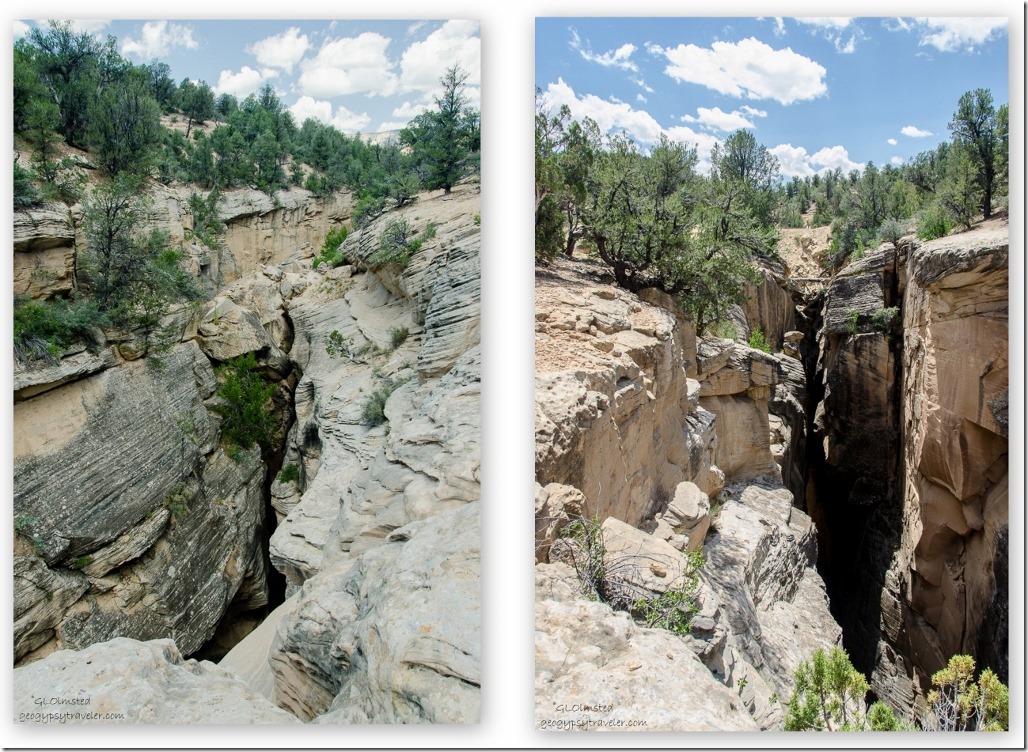
Bull Valley Gorge Skutumpah Road Grand Staircase-Escalante National Monument Utah                                                Down canyon                                                                                                                                  Up canyon

Next stop, Bull Valley Gorge a nearly 200 foot (60 m) drop into this narrow slot canyon.

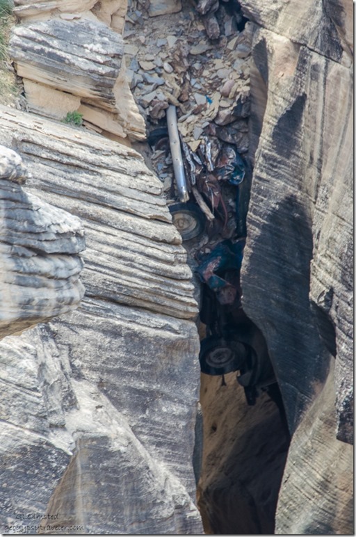
Truck in Bull Valley Gorge Skutumpah Road Grand Staircase-Escalante National Monument UtahIn 1954 three drunks in a pick-up truck died when they tumbled off the road into the gorge where their truck remains.  Boulders were then wedged on top where the road crosses.  A definite reminder of being careful on twisty gravel roads.

Paunsaugunt Plateau Skutumpah Road Grand Staircase-Escalante National Monument UtahThis drive gave a whole new perspective looking up at Bryce Canyon National Park.

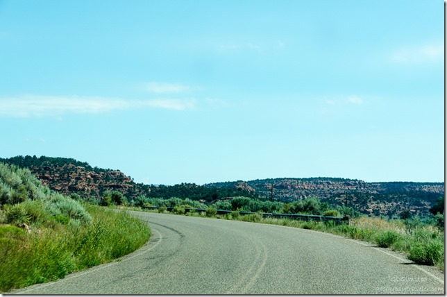
Skutumpah Road Grand Staircase-Escalante National Monument UtahBut it’s very important to watch the road.  Sure glad I get to be a passenger when Bill shares his backyard.

Willis Creek Skutumpah Road Grand Staircase-Escalante National Monument Utah

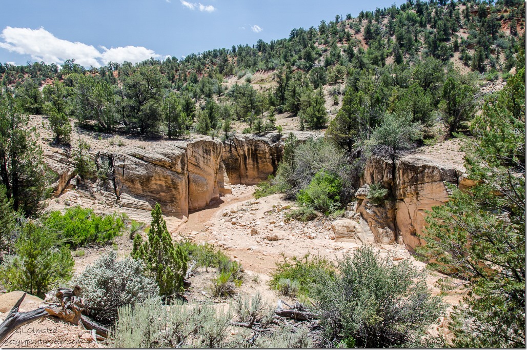
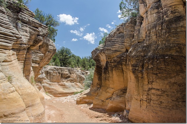
Willis Creek Skutumpah Road Grand Staircase-Escalante National Monument UtahAnother stop for future hiking at Willis Creek, one of only two creeks with perennial water.  This 2.2 mile (3.5 km) one-way hike to the junction with Sheep Creek is described as easy with several stretches of narrows in the sand and gravel wash bottom.

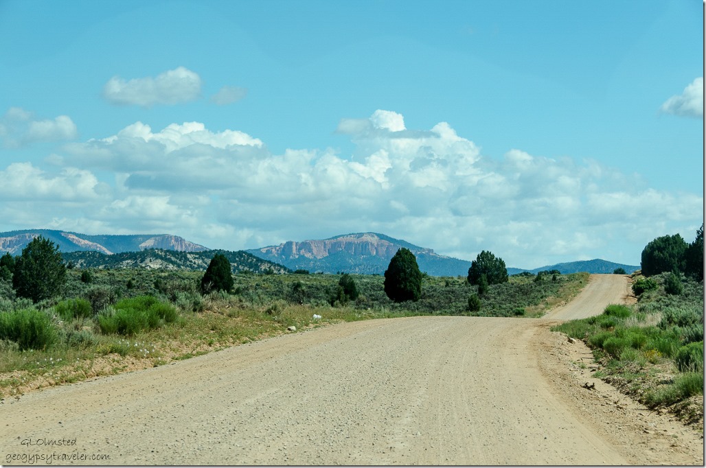
Skutumpah Road Grand Staircase-Escalante National Monument UtahI absolutely love these kinds of drives on gravel roads through the gorgeous desert country of southern Utah.  The more I see, the more I want to see.

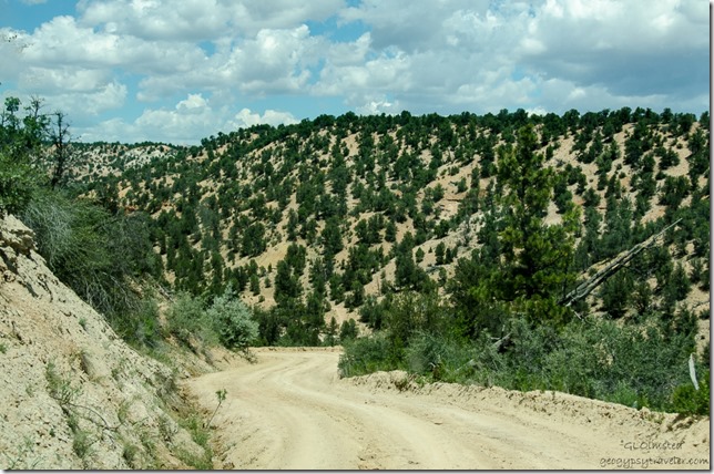
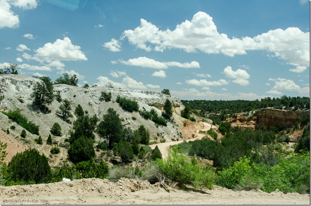
Dugway into Bryce Valley Skutumpah Road Grand Staircase-Escalante National Monument UtahSoon we are headed down the dugway into Bryce Valley where we stopped at the Cannonville Visitor Center to get a road report for the Cottonwood Road which I’ll post about soon.  Skutumpah Road follows the contours around the northwestern boundary of Grand Staircase-Escalante.  This 33 mile (53 km) long dirt road requires a high clearance vehicle and like all the monument roads can be impassable due to heavy rain or snow.

Push my buttons!

  • Facebook
  • Twitter
  • LinkedIn

Like this:

Like Loading...
Grand Staircase Escalante National Monument, Utah Bull Valley Gorge, Johnson Canyon Road, Lick Wash, Paunsaugunt Plateau, Powell Point, Skutumpah Road, Willis Creek 19 Comments
29 July 2012

Shadow of a view

01 Clouds over GRSE SR389 E AZ (1024x281)

A rainy afternoon created just a shadowy view of the Grand Staircase Escalante’s towering cliffs.

Shadow Shot Sunday 2 meme

To view more shadows from around the world go to Shadow Shot Sunday 2.

Push my buttons!

  • Facebook
  • Twitter
  • LinkedIn

Like this:

Like Loading...
Arizona, Grand Staircase Escalante National Monument, meme, Shadow Shot Sunday 2, Utah 8 Comments
← Older posts
Newer posts →

Hi, I’m Gaelyn, the Geogypsy

I retired after 29 summer seasons as a Park Ranger, traveling solo for 40+ years. My passions include travel, connecting to nature, photography, and sharing stories.

I started exploring US National Parks in 1977 and 20 years later became a seasonal Park Ranger.  I’ve lived full-time in a RV for 30 years working summers and playing winters.  I’m still trying to figure out what I want to be when I grow old, other than grow up.

Let’s share our stories.  Here’s more of mine…

My wheeleastate

I am currently…

…boondocking somewhere in southern Arizona.  In the area, give a shout.

Geogypsytraveler on YouTube

Follow my journey on YouTube. Just click the pic. Hope you’ll like, share, and subscribe.

Click image for 7 minute documentary (Password “geogypsy” lowercase)

Making the Gypsy documentary is a story of its own.  Click below for the rest of the story.

Living nomadically & connecting to nature documentary

Subscribe to Blog via Email

Enter your email address to subscribe to this blog and receive notifications of new posts by email.

Photos available for sale include prints, greeting cards, coffee mugs, tote bags, phone cases and more

Reflected Wave 24X16 metal print under $100

Custom Coffee Mugs

Many items to choose from including prints

The Last Blast 24 x 16″ metal print under $100

Need a signal boost? When I boondock on public lands sometimes signal is weak or intermittent and a booster helps. Click the pic to visit WeBoost.

Connecting to nature and the rest of the world too.

Please contact me for photo purchases not seen at GLOlmsted Photography

Order fulfillment is by Fine Art America. If you’re not happy with your purchase, for any reason, simply return it within 30 days, and you’ll receive a full refund of the purchase price.

Why read Geogypsy?

The gypsy life spring-summer 1998 - "You were a real pioneer. RV'ing before it was cool." ...Yogi

How do you process photos? - “Your photographs create an Emotional feeling in the viewer...that they become One with You.” …Cindy

Life’s transitions between travel and work play - "I know you love your job as much as you love travel -- it shines through all your posts." ...Sallie

Lions at Kruger National Park - “Wonderful post, thank you. I was hooked start to finish!” … Peter B

11 lessons looking back 2013 - “A great post -- made me think, made me smile, made me want to cry." ...Sallie

Wildlife video Kruger National Park - “Gorgeous, this makes me want to go straight to South Africa now.” … Ayngelina

Living nomadically & connecting to nature documentary - “What an experience you had and gave to the "crew." Sometimes I think you don't realize how unique and inspiring you are.” …Alan

Search

Popular Posts

1. Prioritize the well-being of nature over photography. 2. Educate yourself about the places you photograph. 3. Reflect on the possible impact of your actions. 4. Use discretion if sharing locations. 5. Know and follow rules and regulations. 6. Always follow Leave No Trace principles and strive to leave places better than you found them. 7. Actively promote and educate others about these principles

Categories

Archives

Sites I follow, read & recommend

  • A Full-time Life
  • A Yankee in Belgrade
  • Bob's Eyes
  • Box Canyon Blog
  • Camels and Chocolate
  • Dawns bloggy blog
  • In the Direction of Our Dreams
  • Jane in her infinite wisdom
  • Janie and Steve, Utah Trails
  • Kathie's Birds
  • Las Adventuras
  • Memorable Meanders
  • Oh, The Places They Go
  • On the Road Abode
  • Port Elizabeth Daily Photo
  • Stillhowlyntravels
  • Take to the Highway
  • Technomadia
  • the good luck Duck
  • Travel with the Bayfield Bunch
  • Wandering Earl
  • Wheeling It
  • Yogi's Den

Caught in a Slot 9×12 canvas print under $50

If you don’t like what’s going on in your government, contact your Congress

Directory of Senators

Directory of Representatives

Lijit

© Copyright 2008-2024. Geogypsytraveler.com
%d