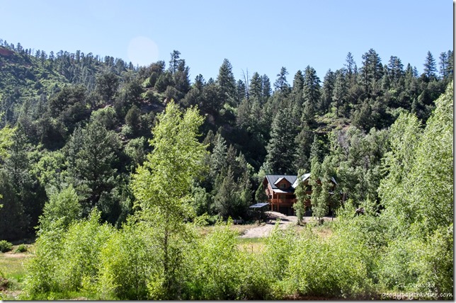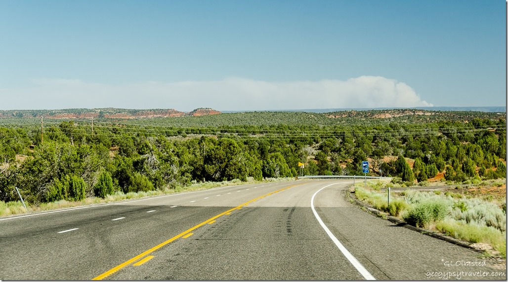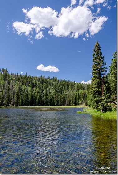
• Home
  • About Geogypsy
    • Herstory
    • Parks where I’ve worked
  • Places I’ve been
    • United States
      • Arizona
        • Antelope Slot Canyon
        • Casa Grande Ruins National Monument
        • Colossal Cave Mountain Park
        • Flagstaff
        • Glen Canyon National Recreation Area
        • Grand Canyon National Park
          • Grand Canyon National Park North Rim
          • Grand Canyon National Park South Rim
          • Toroweap
        • Havasu Canyon
        • Horseshoe Bend
        • Jerome
        • Kaibab National Forest
        • Lee’s Ferry
        • Meteor Crater
        • Navajo Bridge
        • Oak Creek Canyon
        • Painted Desert
        • Pipe Springs National Monument
        • Prescott
        • Quartzsite
        • Saguaro National Park
        • Sedona
        • Sunset Crater Volcano National Monument
        • Vermilion Cliffs
        • Walnut Canyon National Monument
        • Wupatki National Monument
        • Yarnell
      • California
        • Anzaberrego
        • Bakersfield
        • Death Valley National Park
        • Joshua Tree National Park
        • Redwoods NP
        • Salton Sea
        • Yucca Valley
      • Colorado
        • Mesa Verde National Park
      • Florida
      • Illinois
        • IL River
        • Morton Arboretum
        • Starved Rock State Park
      • Michigan
      • Nevada
      • New Mexico
      • Oregon
        • Crater Lake NP
        • Mt Hood
        • Oregon Caves National Monument
      • Texas
        • Alpine Texas
        • Padre Island
        • Port Isabel
        • Rio Grande Valley
      • Utah
        • Brian’s Head
        • Bryce Canyon National Park
        • Buckskin Gulch
        • Cedar Breaks National Monument
        • Cedar City
        • Coral Pink Sand Dunes State Park
        • Dixie National Forest
        • Grand Staircase Escalante National Monument
        • Johnson Canyon
        • Kanab
    • World Travels
      • Germany
      • Mexico
      • South Africa
  • Tours
  • Photography
  • Work with Me
    • Sponsors
  • Contact
Geogypsy
Menu
  • Home
  • About Geogypsy
    • Herstory
    • Parks where I’ve worked
  • Places I’ve been
    • United States
      • Arizona
        • Antelope Slot Canyon
        • Casa Grande Ruins National Monument
        • Colossal Cave Mountain Park
        • Flagstaff
        • Glen Canyon National Recreation Area
        • Grand Canyon National Park
          • Grand Canyon National Park North Rim
          • Grand Canyon National Park South Rim
          • Toroweap
        • Havasu Canyon
        • Horseshoe Bend
        • Jerome
        • Kaibab National Forest
        • Lee’s Ferry
        • Meteor Crater
        • Navajo Bridge
        • Oak Creek Canyon
        • Painted Desert
        • Pipe Springs National Monument
        • Prescott
        • Quartzsite
        • Saguaro National Park
        • Sedona
        • Sunset Crater Volcano National Monument
        • Vermilion Cliffs
        • Walnut Canyon National Monument
        • Wupatki National Monument
        • Yarnell
      • California
        • Anzaberrego
        • Bakersfield
        • Death Valley National Park
        • Joshua Tree National Park
        • Redwoods NP
        • Salton Sea
        • Yucca Valley
      • Colorado
        • Mesa Verde National Park
      • Florida
      • Illinois
        • IL River
        • Morton Arboretum
        • Starved Rock State Park
      • Michigan
      • Nevada
      • New Mexico
      • Oregon
        • Crater Lake NP
        • Mt Hood
        • Oregon Caves National Monument
      • Texas
        • Alpine Texas
        • Padre Island
        • Port Isabel
        • Rio Grande Valley
      • Utah
        • Brian’s Head
        • Bryce Canyon National Park
        • Buckskin Gulch
        • Cedar Breaks National Monument
        • Cedar City
        • Coral Pink Sand Dunes State Park
        • Dixie National Forest
        • Grand Staircase Escalante National Monument
        • Johnson Canyon
        • Kanab
    • World Travels
      • Germany
      • Mexico
      • South Africa
  • Tours
  • Photography
  • Work with Me
    • Sponsors
  • Contact

Category: Dixie National Forest

22 October 2019

A mosey to Posey Lake

Posey Lake Dixie National Forest UtahFour days before I broke both my wrists I had three days off work and needed to get out to explore some more of the area so I took a mosey to Posey Lake on the Dixie National Forest.
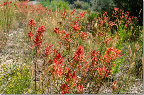
The Blues SR12 East Utah

red paintbrush flowers SR12 UtahWithin 45 mins I had to stop for some awesome rock and flowers along Henryville Creek on SR12, a Utah Scenic Byway.
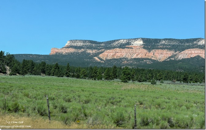
trees Powell Point Aquarius Plateau SR12 East UtahThen over The Blues and around Powell Point on the southern tip of the Aquarius Plateau.
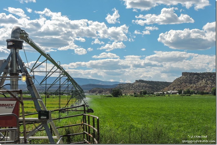
irrigating alfalfa Escante UtahI had explored as far as the town of Escalante before so it was time to get past that.
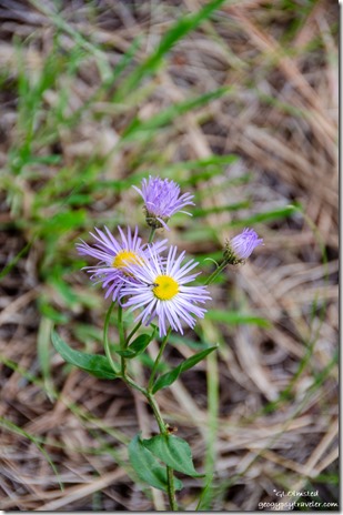
lavender Fleabane flowers Posey Lake Dixie National Forest UtahThought about staying on SR12 to Boulder or taking the Hell’s Backbone Road one way or the other, but I didn’t get that far.  No surprise when I go off sauntering even when driving.  Of course I also had planned for a late pastry breakfast at Mimmi’s which was closed so settled with a Nemo’s hamburger and fries instead.  Was OK, all outdoor seating in 80+° wasn’t appealing so ate in the ACed truck cab while further planning my day.
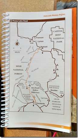
map around Escalante UtahLooking at a map with so many choices I wasn’t sure but decided a drive to a lake in the forested mountains sounded good.  So I found Posey Lake Road at the east side of town and headed north.  Started off paved then turned to well groomed gravel.
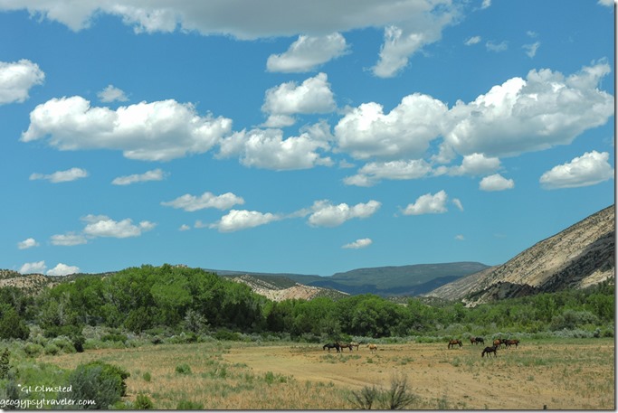
horses Posey Lake Road Escalante UtahSome of the drive following Pine Creek goes past private land, at least on the west side of the road.
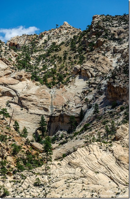
trees tilted Navajo sandstone cliffs clouds Posey Lake Road Dixie National Forest Utah

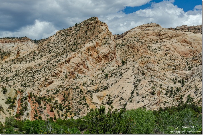
sandstone trees spillway cliffs Posey Lake Road UtahOn the east side, looks like a cockscomb of tilted Navajo sandstone with luscious iron colors, crazy contours and a monumental topography.  I’m such a geonerd.
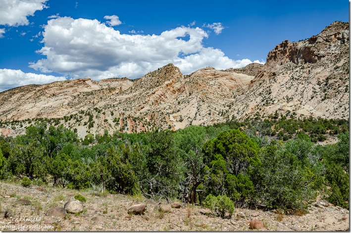
trees tilted Navajo sandstone cliffs clouds Posey Lake Road Dixie National Forest UtahAlmost all of Utah could be a national park.
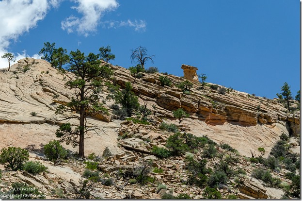
trees sandstone cliff clouds Posey Lake Road Utah

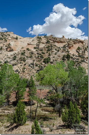
trees sandstone cliff toadstool Posey Lake Road UtahLow land and high, surrounded by a dense pinyon/juniper woodland, cliff faces prove difficult for life to hang on.

Then a slow climb up Escalante Mountain and into Ponderosa Pine forest where I feel right at home.  Passed the Hell’s Backbone turn off thinking I’d rather climb it than go down, saved for another day.  Then I didn’t see the lake and figured it was further than I wanted to go at 2:30 in the afternoon so turned around but changed my mind again after looking closer at the map and turned around again.

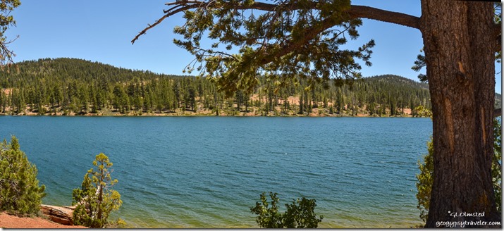
Posey Lake Dixie National Forest UtahGlad I did, as the lake was only a little farther along on FR154.  I went first to the picnic area with a rather small parking lot, several picnic tables, and a tiny outhouse I’m glad I didn’t need as I bring my toilet with me.  There is a boat ramp for non-motorized boating near the campground and two nice docks.
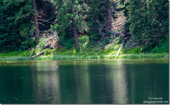
Posey Lake Dixie National Forest UtahA fairly small fishing lake with rainbow and brook trout, and I saw many jumping.  Also osprey around so that’s a good sign for fishing.  Plus lots of either swifts or swallows flying low over the lake for either a drink of water or eating insects.  Saw some ducks on the far side of the lake but just couldn’t get a good focus on them.  Also many big turquoise dragonflies that wouldn’t hold still long enough for a pic.
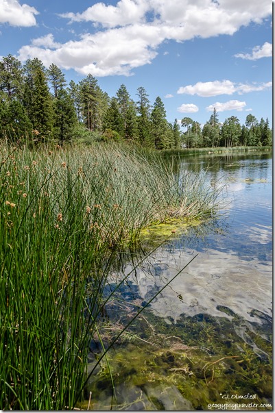
aquatic plants Posey Lake Dixie National Forest Utah

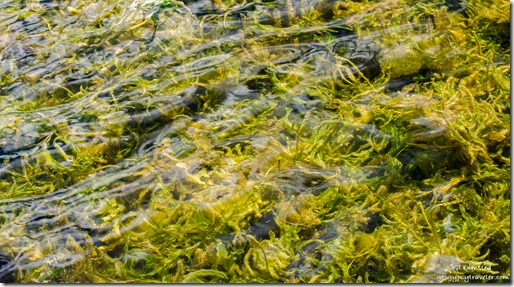
Posey Lake Dixie National Forest UtahThe shallows were full of vegetation, I wouldn’t swim in this lake but would return for a campout.  A camphost looks over 21 campsites with picnic tables, fire rings/grills, and bear box at $11/night, and 1 group site.  Accommodates RVs up to 24 feet in length with no hookups.  Drinking water (Memorial Day – Labor Day), vault toilets, no garbage disposal so please pack it out.  At 8,600 feet the nights could be nippy.  The Posey Lake Lookout Trail climbs from Posey Lake Campground to a historic, CCC constructed, lookout gazebo.  The trail is short and fairly steep, gaining almost 400 vertical feet in .7-mile. The summit offers outstanding views of Posey Lake and the surrounding John Allen Bottom country.  Didn’t know it was there, problem of not doing homework before I go or not knowing where I’m going.
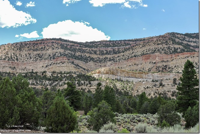
trees rock layers FR153 Dixie National Forest UtahLeft home at 10am.  Left Escalante after lunch at 1pm and got to Posey Lake at 2:45 with an 18-mile drive and lots of stops along the way.  Stayed at the lake for about an hour and after a quick grocery stop returned home at 6pm.

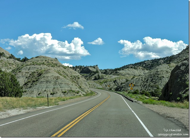
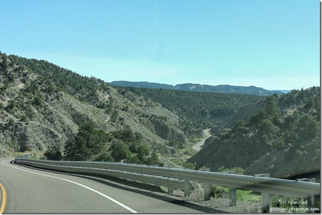
SR12 West UtahAnd of course the return drive is also pretty.

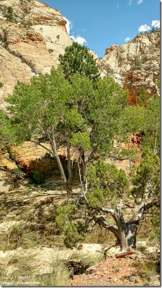
trees Pine Creek cliffs Posey Lake Road UtahI look forward to exploring more of this area next summer.

Push my buttons!

  • Click to share on Facebook (Opens in new window) Facebook
  • Click to share on X (Opens in new window) X
  • Click to share on LinkedIn (Opens in new window) LinkedIn

Like this:

Like Loading...
Dixie National Forest, Utah Posey Lake 26 Comments
23 July 2019

Traveling to Tropic Reservoir Dixie National Forest near Bryce Canyon

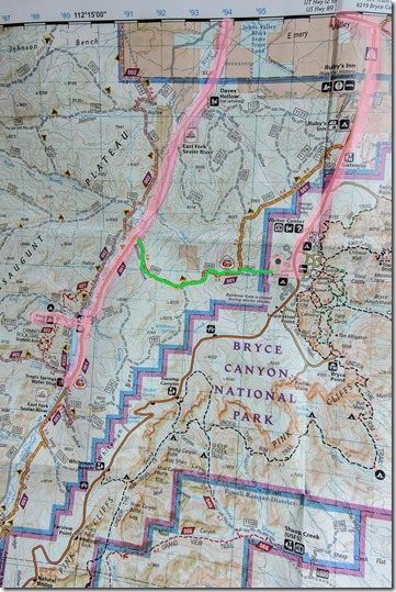
map Bryce Canyon National Park & Dixie National Forest UtahTropic Reservoir is only about 4 miles west from where I live (green line), as the Raven flies.  However to drive to Tropic Reservoir required (pink lines) 3 miles out of the park, 2 miles west on SR12, and 7 miles south on the East Fork Road or FR087 (Forest Road).  Not all that far to drive but could have been closer.

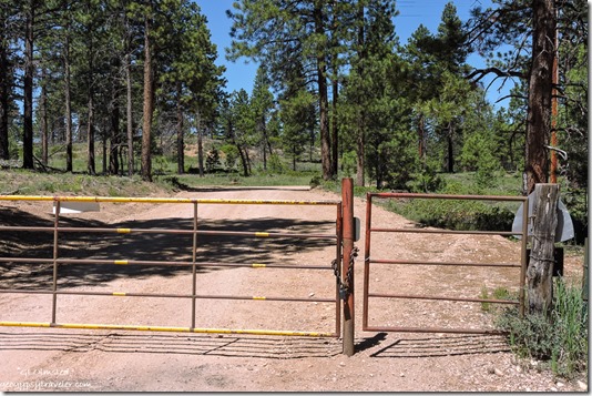
gate Mixing Circle & FR 088 Bryce Canyon National Park UtahMy RV home is parked along the fence line dividing Bryce Canyon National Park and the Dixie National Forest.  It’s a pretty place to live under the Ponderosa Pines.

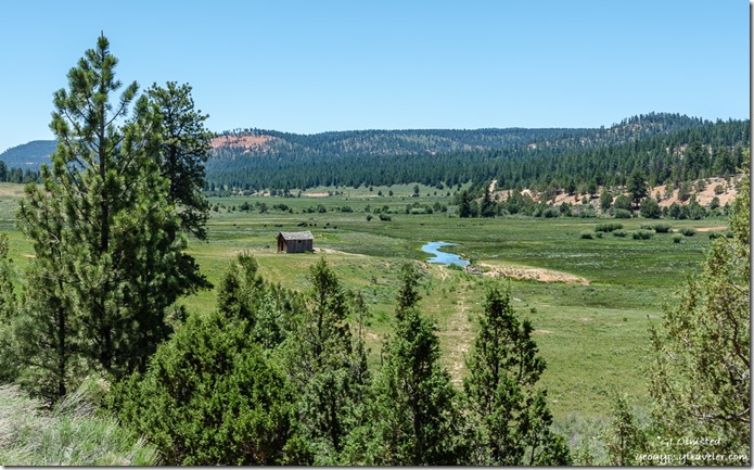
trees valley buildingg East Fork Sevier River mountains FR087 Dixie National Forest UtahEast Fork Sevier River

And it’s a pretty drive to visit the meadows and forest on the Dixie, especially once on FR087 headed south along the dusty gravel road to Tropic Reservoir.

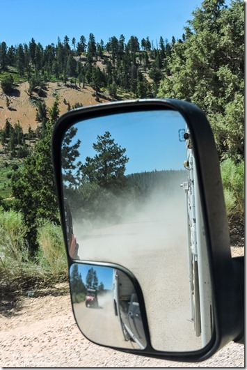
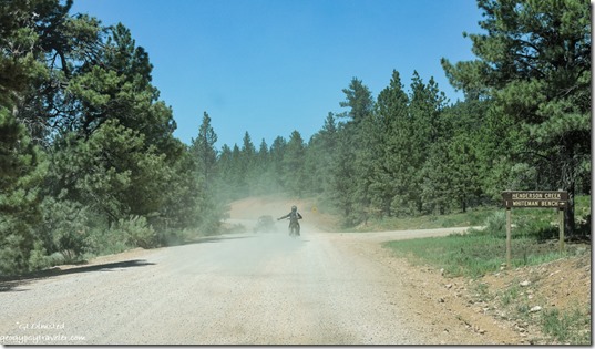
OHV dust FR087 Dixie National Forest UtahAnd I do mean dusty.  Even the signs reminding drivers of the 25mph to reduce dust, doesn’t seem to mean much to most folks.  Lots of OHV (off highway vehicles) which are fancy enough to be enclosed so they don’t eat their own dust versus the open kind where all riders are helmeted and faces covered with bandanas.  Me, I’m a lollygag, so I pull over and let them speed by, often just waiting for their dust to subside.

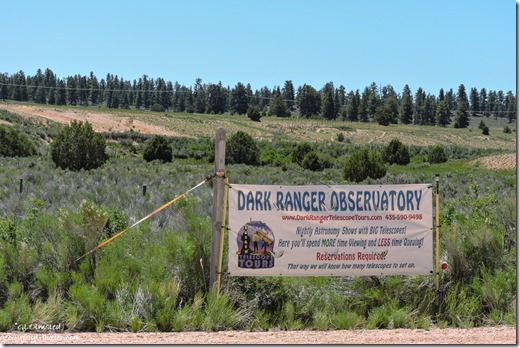
Dark Ranger Observatory sign FR087 UtahSaw where some local Dark Rangers have a telescope setup not far down the road.  We enjoy some of the darkest skies in the west around here.
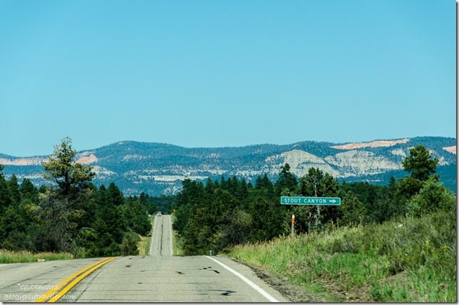
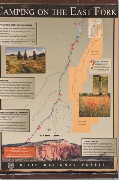
camping on the East Fork sign FR087 Dixie National Forest UtahI didn’t go to camp, however I wanted to know about the Dixie’s restrictions on designated dispersed camping rules, which seem unusual for a national forest.  But I get it because some folks abuse the land, leave a mess, drive over plants, and start fires.  In the Powell Ranger District the policy is to protect the “holistic watershed restoration in cooperation with land management agencies, private land owners, and other interested parties.”  I’m glad someone is thinking about watersheds and how humans have an impact.  I didn’t drive south of Tropic Reservoir.

campsite Kings Creek campground Dixie National Forest UtahThese 10 free sites are located south of the Kings Creek campground with 38 sites at $15/night with no hookups but toilets nearby, first come first served for all campsites.

trees Tropic Reservoir King Creek boat launch area Dixie National Forest UtahThere is also a boat launch ramp within 1/2-mile of the campground into the Tropic Reservoir which averages 10-25 feet deep.  During the heat of summer the water level can drop below the concrete ramp pad.  The reservoir is stocked with brook, rainbow, brown, and cutthroat trout and open for fishing with a valid Utah state license.  I watched a couple of families with kids swimming on the ramp area.

OHV dust FR087 Dixie National Forest UtahKings Creek is a favorite of OHV enthusiasts, but not me, because of its easy access to a large network of trails and gravel roads. The Fremont ATV trail passes within 1/4 mile of the campground and the Great Western Trail is nearby.  Hiking and mountain biking trails are plentiful as well, with access from various points within the campground.  Too much dust.

meadow trees FR088 Great Western trail Dixie National Forest UtahI saw sideroad FR088 and later learned that connects to the FR back to where I live.  It’s also part of the Great Western trail, a north-south long distance multiple use route which runs from Canada to Mexico.  No wonder I occasionally hear what I thought was motorcycles.

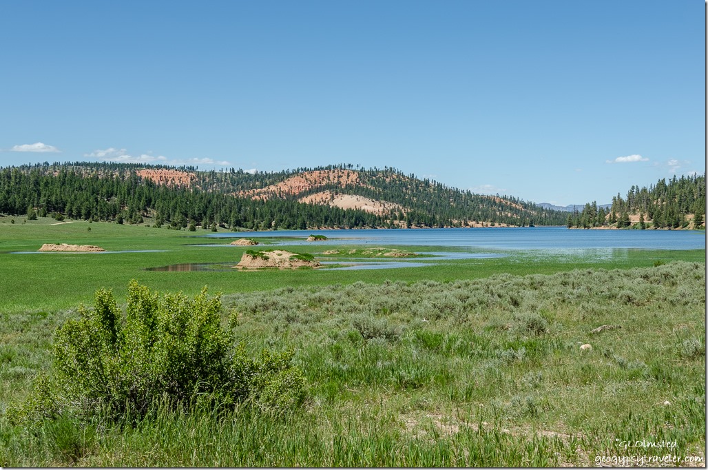
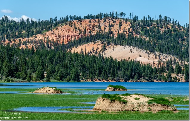
grass water trees red cliffs Tropic Reservoir Dixie National Forest Utah

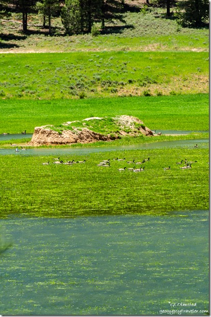
Tropic Reservoir Geese birds trees red rock Dixie National Forest Utah

water Geese birds island grass road trees FR087 Tropic Reservoir Dixie National Forest UtahAlso turned out to be a great place for bird watching.  Although difficult to see even zoomed in all the way those dots look like Canadian Geese to me.

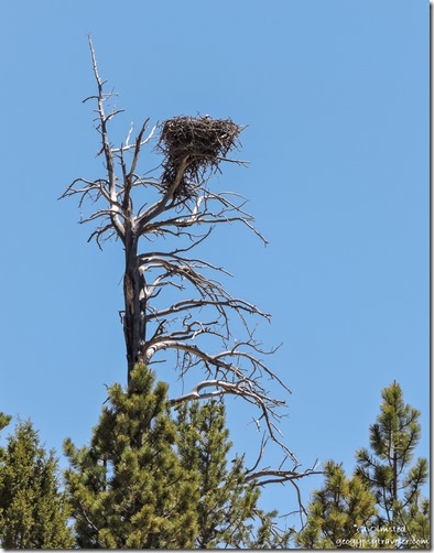
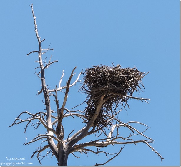
Osprey nest snag FR087 Dixie National Forest Utah

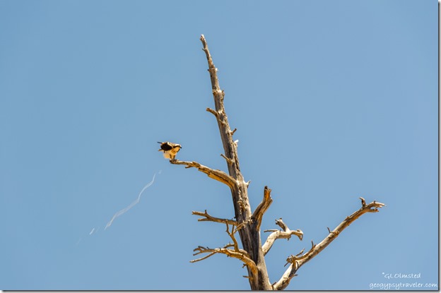
Osprey bird pooping snag tree FR087 Tropic Reservoir Dixie National Forest UtahLightening the load

Osprey nest snag FR087 Dixie National Forest UtahI saw this huge nest, then heard the cry of Osprey, a bird I haven’t seen in a long time.  Finally saw one, then two in the tree tops.  Not sure if this is a ‘youngster’ in the nest.  As usual, not the sharpest shots as I find birds difficult to photograph.

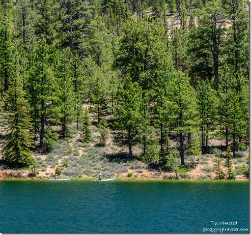
people paddle boards Tropic Reservoir Dixie National Forest UtahI’d seen some people on paddle boards and taken a few shots.  Then while at the Tropic Spring ran into them, exchanged contact information, and later sent them pics.

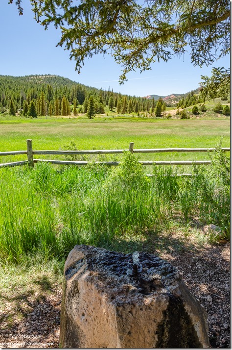
water grass fence meadow mountain Tropic Spring FR087 Dixie National Forest UtahThe water bubbled up through a pipe in a boulder and smelled good and tasted fine, so I filled a couple containers from a spigot on the side.  As did the folks mentioned above.  Then a crew of OHV folks arrived to quench their dusty thirst and it was time to move on.

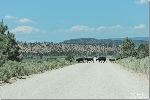
cows crossing FR087 Dixie National Forest UtahAnd head home.  Of course the Dixie National Forest is range land.

Push my buttons!

  • Click to share on Facebook (Opens in new window) Facebook
  • Click to share on X (Opens in new window) X
  • Click to share on LinkedIn (Opens in new window) LinkedIn

Like this:

Like Loading...
Dixie National Forest, Utah Bryce Canyon NP, Dixie National Forest, Kings Creek campground, Osprey, Tropic Reservoir 25 Comments
27 July 2016

Stout Canyon shortcut

July 12, 2016

Bill took me on a shortcut through Stout Canyon instead of driving further north on SR89 and catching SR14 west as I’d traveled to Cedar Breaks before.

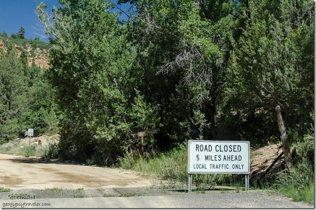
Road closed sign Stout Canyon FR063 north Dixie National Forest Utah

A gravel road with an immediate ‘Road Closed 5 miles ahead’ sign.  As we stopped by a dumpster a local rode up on an OHV towing a trailer full of junk to throw away.  When asked about the road he said lots of road equipment traffic repairing a wash out but it’s passable.  So off we went, figuring we could always turn around.  Gorgeous countryside in the Dixie National Forest with meadows and forest plus glimpses of towering cliffs.

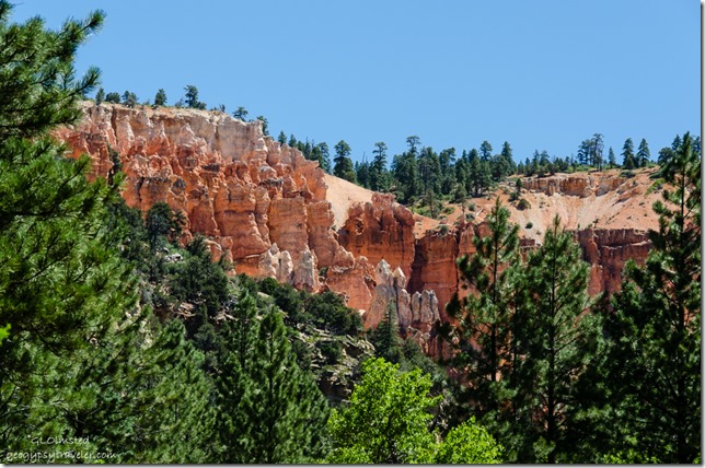
Hoodoos Stout Canyon FR063 North Dixie National Forest Utah

Stopped to check out an amphitheater of hoodoos.  Actually had to turn around—guess Bill didn’t hear my shout to stop—then parked in a gravel pit and walked a ways into the trees.  The almost delicate sculpture of rock intrigues me.

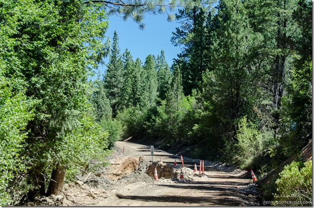
Road repair Stout Canyon FR063 North Dixie National Forest Utah

The road follows Swains Creek, or “crick” as Bill says, which must have flashed during the last rain several weeks ago but enough repairs were completed to make a one way passage.  Didn’t see any working trucks until the way back.

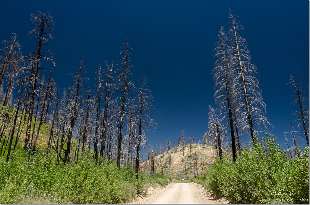
Old burn Stout Canyon FR063 North Dixie National Forest Utah

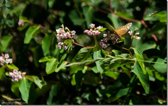
Wildflowers & butterfly Stout Canyon FR063 North Dixie National Forest UtahWildflowers often flourish after fire.  I think this burn could be from 2013.  Although I don’t visit public lands to see char I’m glad to see the return of a healthy forest after wildfire.


Stout Canyon sign SR14 East Utah

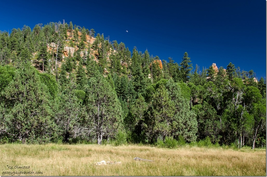
Meadow mountain moon Stout Canyon FR063 South Dixie National Forest Utah

Back on the paved SR14 after a little over an hour ‘shortcut’ and off to Cedar Breaks National Monument to see wildflowers.  In fact we also drove Stout Canyon on the way home under much better light conditions and a partial moon.

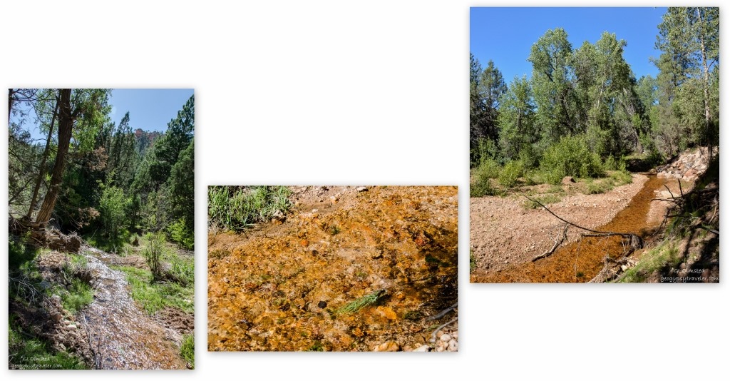
Swains Creek Stout Canyon Dixie National Forest Utah

Had to stop by the ‘Crick’ to soak in some flowing water energy, such a rarity to see any more with living on a high and dry plateau.  Sparkling rays filled my eyes and brain with smiling sunshine.  I cupped my ears to hear the gentle song.  Drank in the moisture laden air, as did my dry desert skin.

Private home Stout Canyon FR063 Utah

Back past privately owned homes, some of which looked pretty nice.  Wonder if they are off grid.

Smoke from Fuller Fire on Kaibab Plateau from SR89 S Utah

Then back to SR89 pavement and south to Kanab with a view of smoke rising on the Kaibab Plateau from the Fuller Fire.

Push my buttons!

  • Click to share on Facebook (Opens in new window) Facebook
  • Click to share on X (Opens in new window) X
  • Click to share on LinkedIn (Opens in new window) LinkedIn

Like this:

Like Loading...
Dixie National Forest, Utah forest road, Stout Canyon 12 Comments
← Older posts

Hi, I’m Gaelyn, the Geogypsy

I retired after 29 summer seasons as a Park Ranger, traveling solo for 40+ years. My passions include travel, connecting to nature, photography, and sharing stories.

I started exploring US National Parks in 1977 and 20 years later became a seasonal Park Ranger.  I’ve lived full-time in a RV for 30 years working summers and playing winters.  I’m still trying to figure out what I want to be when I grow old, other than grow up.

Let’s share our stories.  Here’s more of mine…

My wheeleastate

I am currently…

…boondocking somewhere in southern Arizona.  In the area, give a shout.

Geogypsytraveler on YouTube

Follow my journey on YouTube. Just click the pic. Hope you’ll like, share, and subscribe.

Click image for 7 minute documentary (Password “geogypsy” lowercase)

Making the Gypsy documentary is a story of its own.  Click below for the rest of the story.

Living nomadically & connecting to nature documentary

Subscribe to Blog via Email

Enter your email address to subscribe to this blog and receive notifications of new posts by email.

Photos available for sale include prints, greeting cards, coffee mugs, tote bags, phone cases and more

Reflected Wave 24X16 metal print under $100

Custom Coffee Mugs

Many items to choose from including prints

The Last Blast 24 x 16″ metal print under $100

Need a signal boost? When I boondock on public lands sometimes signal is weak or intermittent and a booster helps. Click the pic to visit WeBoost.

Connecting to nature and the rest of the world too.

Please contact me for photo purchases not seen at GLOlmsted Photography

Order fulfillment is by Fine Art America. If you’re not happy with your purchase, for any reason, simply return it within 30 days, and you’ll receive a full refund of the purchase price.

Why read Geogypsy?

The gypsy life spring-summer 1998 - "You were a real pioneer. RV'ing before it was cool." ...Yogi

How do you process photos? - “Your photographs create an Emotional feeling in the viewer...that they become One with You.” …Cindy

Life’s transitions between travel and work play - "I know you love your job as much as you love travel -- it shines through all your posts." ...Sallie

Lions at Kruger National Park - “Wonderful post, thank you. I was hooked start to finish!” … Peter B

11 lessons looking back 2013 - “A great post -- made me think, made me smile, made me want to cry." ...Sallie

Wildlife video Kruger National Park - “Gorgeous, this makes me want to go straight to South Africa now.” … Ayngelina

Living nomadically & connecting to nature documentary - “What an experience you had and gave to the "crew." Sometimes I think you don't realize how unique and inspiring you are.” …Alan

Search

Popular Posts

1. Prioritize the well-being of nature over photography. 2. Educate yourself about the places you photograph. 3. Reflect on the possible impact of your actions. 4. Use discretion if sharing locations. 5. Know and follow rules and regulations. 6. Always follow Leave No Trace principles and strive to leave places better than you found them. 7. Actively promote and educate others about these principles

Categories

Archives

Sites I follow, read & recommend

  • A Full-time Life
  • A Yankee in Belgrade
  • Bob's Eyes
  • Box Canyon Blog
  • Camels and Chocolate
  • Dawns bloggy blog
  • In the Direction of Our Dreams
  • Jane in her infinite wisdom
  • Janie and Steve, Utah Trails
  • Kathie's Birds
  • Las Adventuras
  • Memorable Meanders
  • Oh, The Places They Go
  • On the Road Abode
  • Port Elizabeth Daily Photo
  • Stillhowlyntravels
  • Take to the Highway
  • Technomadia
  • the good luck Duck
  • Travel with the Bayfield Bunch
  • Wandering Earl
  • Wheeling It
  • Yogi's Den

Caught in a Slot 9×12 canvas print under $50

If you don’t like what’s going on in your government, contact your Congress

Directory of Senators

Directory of Representatives

Lijit

© Copyright 2008-2024. Geogypsytraveler.com
%d