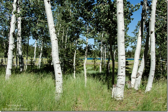
July 12, 2016
This year I finally planned right for the Cedar Breaks National Monument Wildflower Festival. Tis the season for meadows to explode with color in the high country. So get ready for some more wildflowers because Widforss and Big Basin just weren’t enough.
From the hell heat of Kanab to 10,000+ feet (3048 m) with a brisk wind and jacket needing temperatures the day was filled with contrasts and sensory overload.
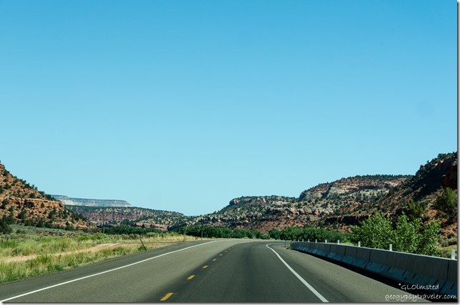
The drive north on SR89 always seems to lead Bill and I to someplace beautiful. Hard to loose through Utah’s red-rock country and white cliffs. Road cuts tell a complex geologic story. Plus it’s always a good excuse to stop at the German Bakery in Orderville for breakfast where they make the most delicious assortment of pastries.
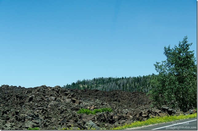
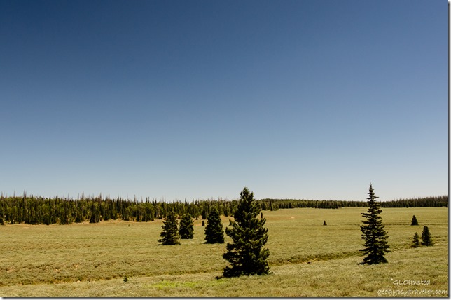
Then SR14 winds through forests, meadows, and lava flows which I got better shots of on the return drive. Some roads are just to busy to stop along.
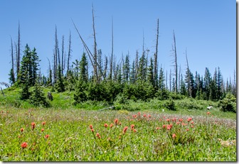
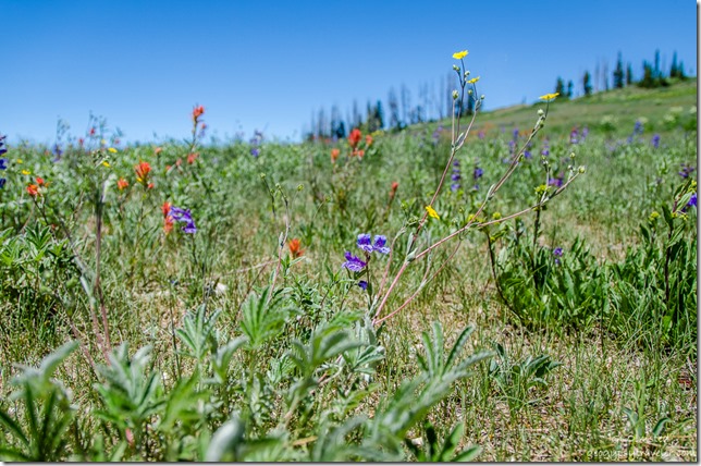 Scarlet Paintbrush, Markagunt Penstemon & Pretty Cinquefoil
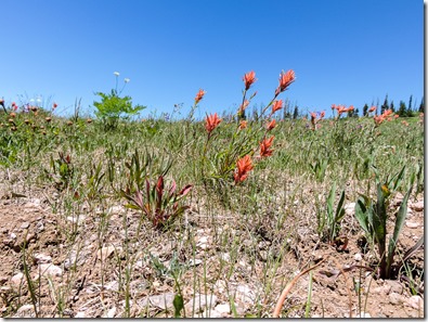 Had barely entered Cedar Breaks on SR143 north and had to stop for the first field of flowers. Lush green meadows scattered with dots of brilliant and subtle colors. The wind caused those blooming stalks to dip and dance.
Scarlet Paintbrush
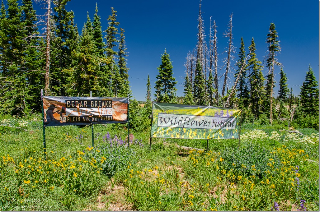 Next stop, the entrance station where I finally bought my
 Geezer Senior Pass. It’s likely this $10 for life pass will cost more in the near future for 62-year old US citizens.
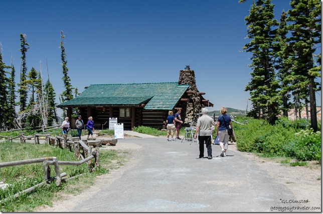 The Visitor Center is a quaint little log cabin built by the CCC during the 1930s when they also constructed roads, scenic overlooks, and other facilities at Cedar Breaks. I bought a book about 65 Utah byways for backcountry drives. We’ve done a few and I’m looking forward to more.
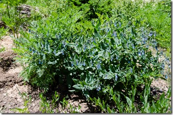
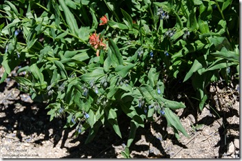
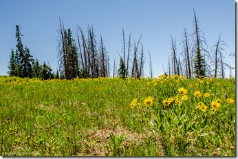
Aspen Bluebell & Scarlet Paintbrush
Was given a flower list and thankfully many of the flowers around the Visitor Center were labeled. We missed the Ranger guided wildflower hike yet managed to see quite a bit on our own.
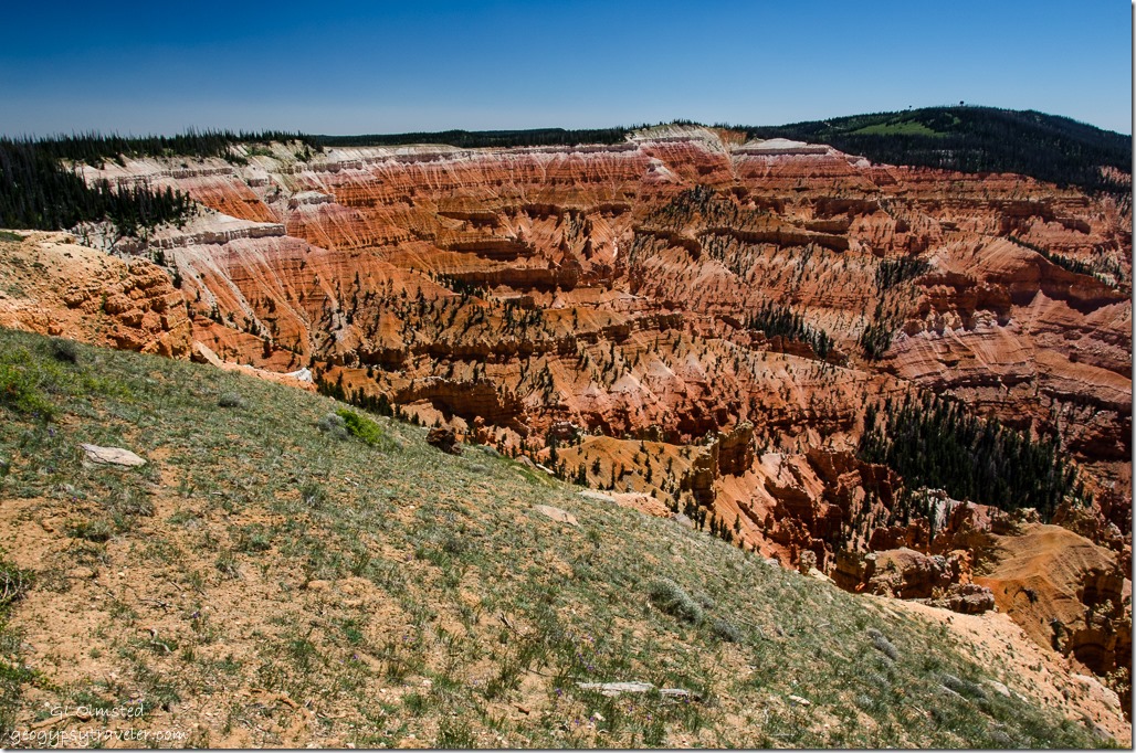
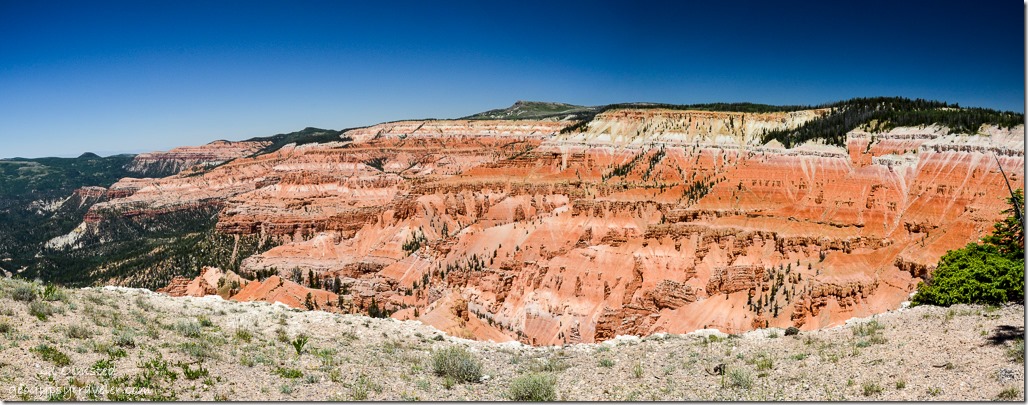 The view is to die for from the Point Supreme overlook at 10,350 feet (3154 m). And we did see one artist from the Plein Air Art Event painting both flowers and the view.
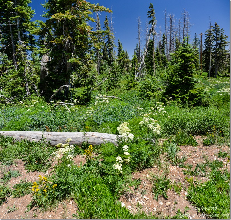 Sulpher Buckwheat, Aspen Bluebell & Southern Ligusticum
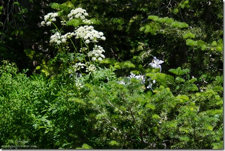 I’d truly hoped to see more Columbine. Best shot because I wouldn’t think of walking on the flowers and didn’t see them anywhere else.
Southern Ligusticum & Colorado Columbine
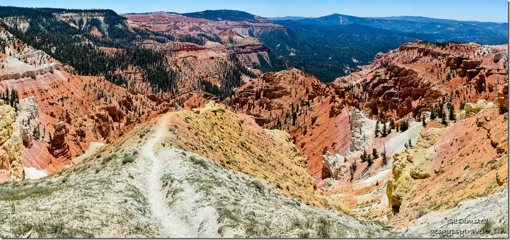 We drove to the end of the 6 mile road to North View overlook and were greeted by shades of orange and beige rock carved into fantasy figures of stone. The steady southwest wind felt more than brisk along the rim at 10,435 feet (3180 m).
Then stopped for flowers on the way back. Still windy moving the flowers about but not quite as chilly.
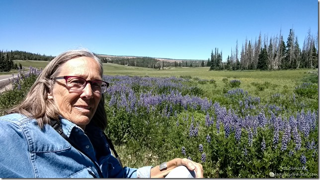
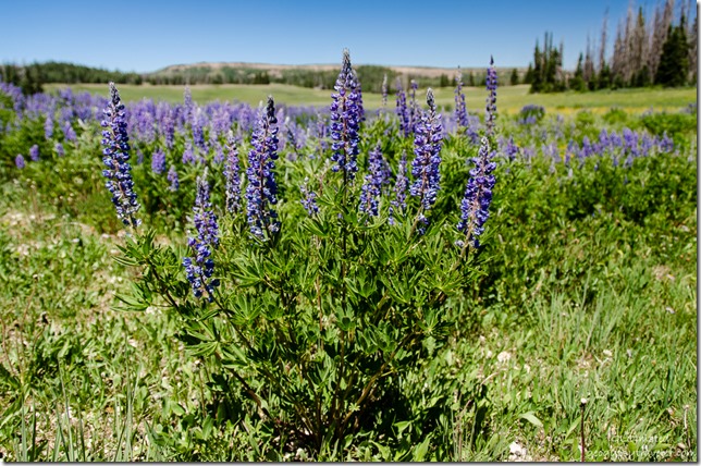
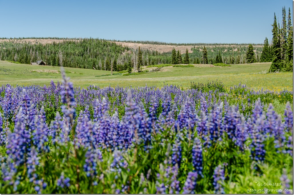
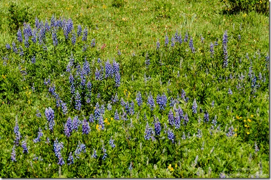 I got really lost in this field of lupine, meadow, forest and a cabin. We were right on the edge of the monument boundary. Can you imagine living with this kind of view? Would be buried under snow in winter.
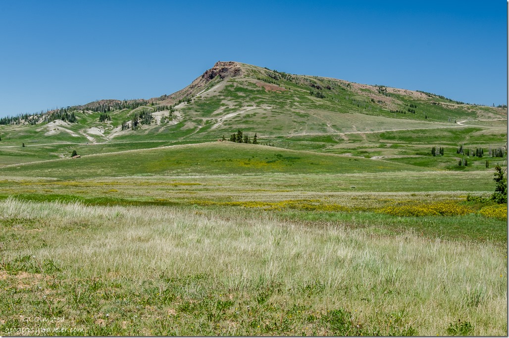 Plus 11,000 foot (3352 m) Brian Head for a backdrop.
Towering trees, not all living, lined the colorful meadows. Fresh sharp smell in the air like a blend of pepper, syrup, and lemon.
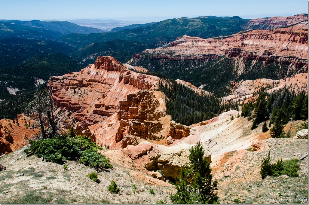 Another amazing view of Cedar Breaks’ rocky amphitheater from Chessman Ridge Overlook at 10,460 ft (3188 m).
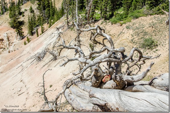 Someone left their mark, at least it’s removable.
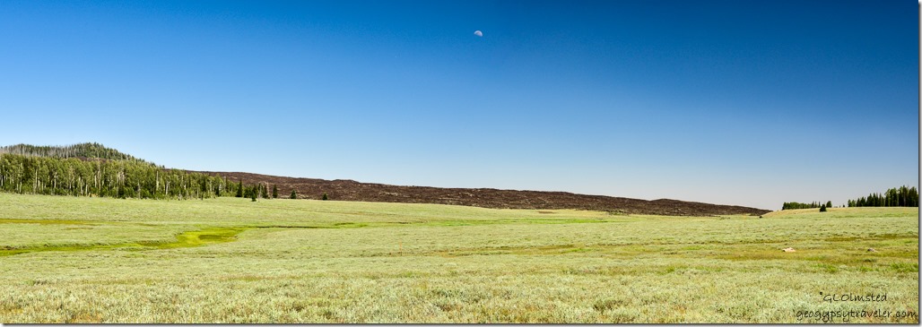 Back out of the monument on SR14 we stopped for a clear view of a cinder cone and young lava flow from only 1,000 to 5,000 years ago. It’s interesting to see how the forest grows out of this coarse looking rock. Mammoth Cave lava tubes can be explored nearby yet we had no lights so must return a different time without Sasha along.
 Navajo Lake is a product of this volcanic activity. Water flows underground through old lave tubes sometimes popping up to the surface in rivers and springs. The lake feeds two different watersheds—south into the Colorado River and east into the Great Basin. During the 1930s, the CCC built a dike across the lake to maintain water levels for recreation.
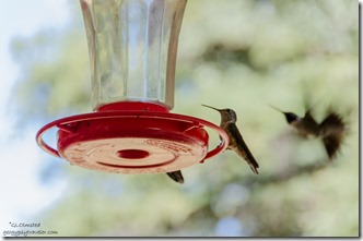
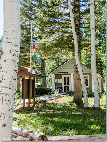 Stopped at the Duck Creek Visitor Center which I suspect could be CCC built. A map and signboard showed lots of camping opportunities in the Dixie National Forest. Three feeders on the porch must need constant filling with so many hummingbirds ferociously flying about. Very difficult to photograph especially under a shady porch overhang.
I saw a few people fishing in Duck lake across the road. But there’s not much to see in the town of Duck Valley except real-estate businesses. We drove through looking for a place to eat with absolutely no luck as everything was closed except the hardware store.
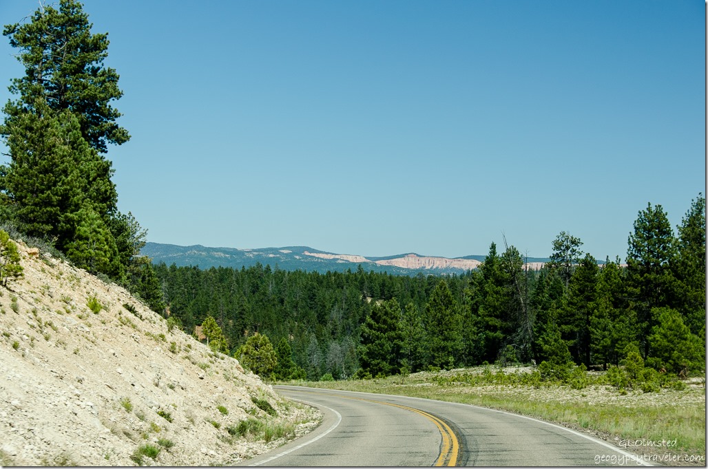 Before too long we could see red rock again and turned off SR14 before SR89 for a short cut through Stout Canyon.
I don’t know why some of you are having problems posting a comment. I’ve tried to figure it out with Google’s help and no luck. I’m open to suggestions. If you can’t sign in please leave your name in the comment so I know who you are instead of Anonymous. Thanks for your patience and persistence.

