Nice to have so many friends visiting Bryce Canyon National Park, but I also need to explore the surrounding area so on a day off last week I took a drive east on Utah’s Scenic Byway SR12, 60 miles to Escalante (e-skə-ˈlan-tē), or as the locals call it Escalant.
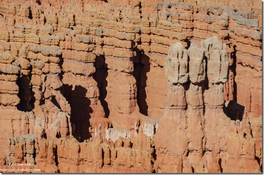
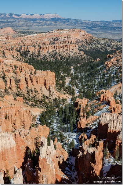
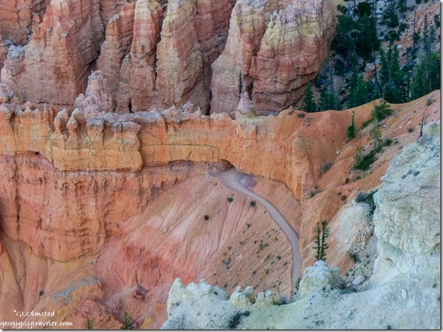
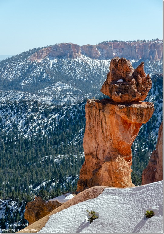
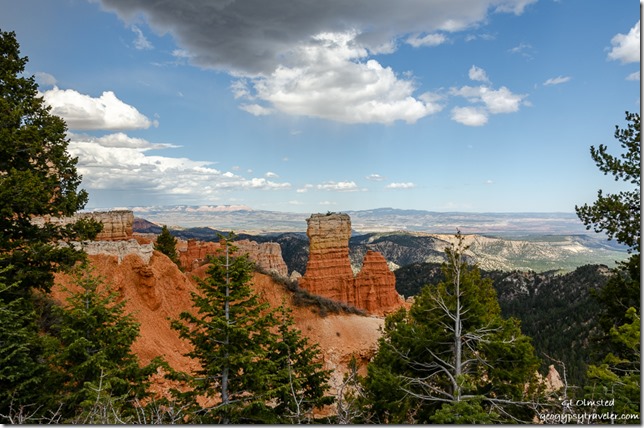 Bryce Canyon hoodoos and beyond to Table Top Plateau from Agua Canyon overlook
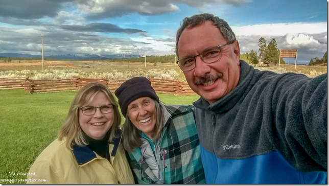
May has been a busy month at Bryce with training and preparing multiple programs. It has also been busy with friends visiting, maybe more this month than many seasons at the North Rim. I love to share, and touring around with friends talking their ears off about all things Bryce Canyon helps me learn and remember.
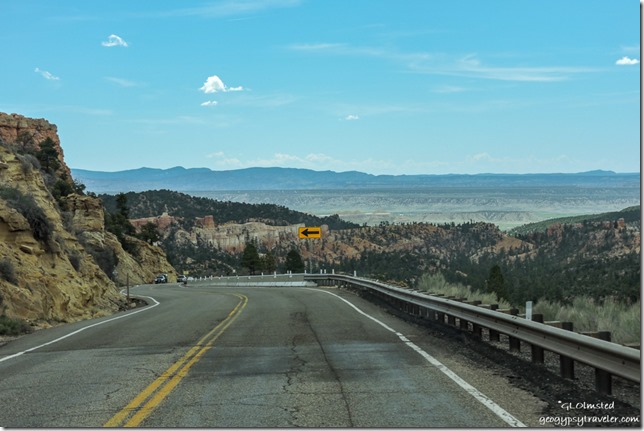 A few sprinkles of rain fell as I left Bryce Canyon City on SR12 and dropped off the Paunsauguant Plateau southeast through colorful limestone rock layers into Bryce Valley below.
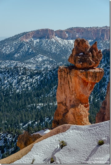
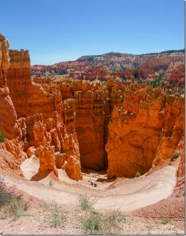
 Sinking Ship in Bryce Canyon NP
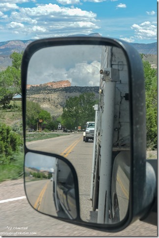
Now I looked up towards the Paunsauguant Plateau trying to connect the dots and get oriented. Trees were leafed out in the valley with brilliant greens in Tropic just less than 2000 feet below the park where I’m seeing very few buds. Didn’t stop as my mission was the town of Escalante. Slowed down in three miles for Cannonville where I also didn’t stop at the Grand Staircase-Escalante National Monument Visitor Center as I’ve already been there, or take the Cottonwood Canyon Road south to Kodachrome Basin where I’ve also been but will return.
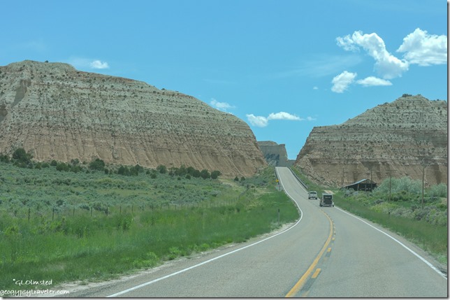 Continued past the Gray Cliffs and another five miles on through Henrieville. Don’t blink or you’ll miss these tiny agricultural towns.
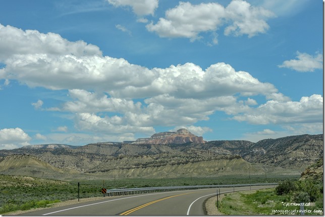 Remember Table Top Plateau from above
From there, SR12 turns northeast and continues working it’s way around the Table Top cliffs and Powell Point high above at 10,000 feet.
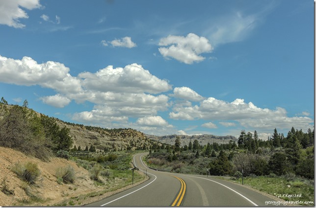 A 25mph curvy climb up The Blues onto the Kaiparowits Plateau. Small side roads beckoned to Canaan Peak and the Upper Valley Guard Station on the Dixie National Forest, for another time.
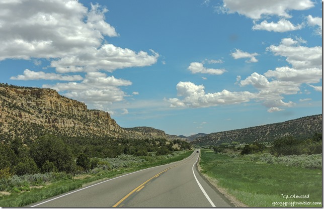 Over the top at 7600 feet then follow Upper Valley Creek down.
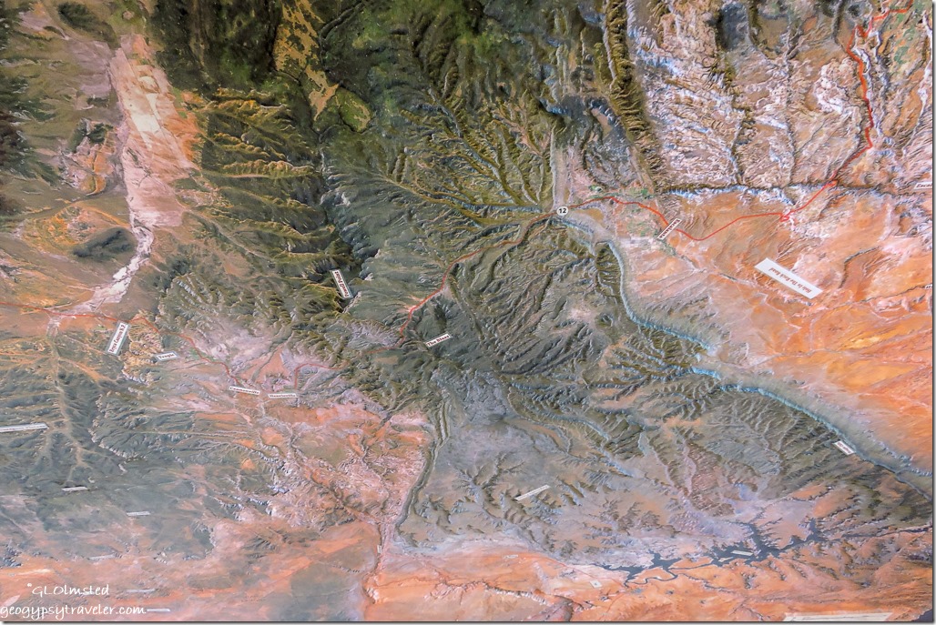 I stopped at the Escalante Interagency Visitor Center, chatted with a Forest Service employee, and bought maps. A paper map is the best way for me to orient, especially in a new landscape. Probably should have watched their orientation movie and perused the museum but by now I was starving hungry and headed to town.
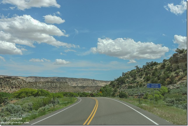 Escalante, the town, is nestled between the elevated meadows of the Aquarius and Kaiparowits Plateaus. Settled as Potato Valley in 1876 by Mormon pioneers who were advised by members of the second Powell Expedition to name the town after the river running through the valley named after Silvestre Velez de Escalante, a Spanish priest and explorer who traveled through the region in 1776 searching for a route between Santa Fe and California.
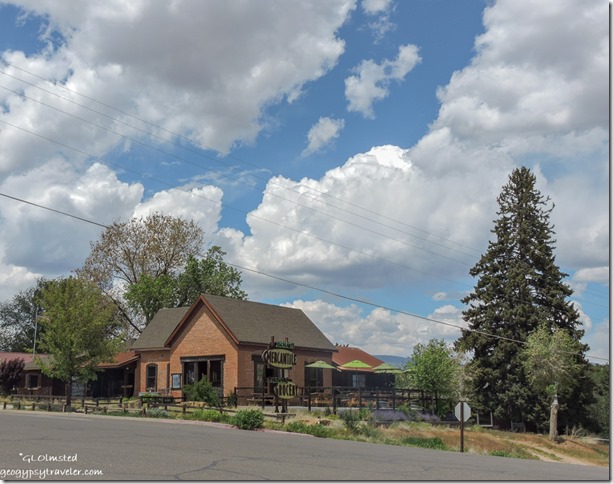 My first stop was the Escalante Mercantile and Natural Grocery where I not only bought some wonderful and not too terribly overpriced organic strawberries, tomatoes, and a zucchini, but also bought lunch by the pound of dill baked wild salmon and fresh Greek potato salad eaten on their deck.
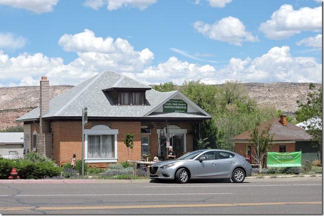 Then across the street at Mimi’s Bakery & Deli I bought an almond crescent for desert and a huge blackberry muffin for breakfast. I finished stocking up on groceries at Griffin’s Grocery & General Merchandise, a nice store, adequately stocked with good small town prices. And topped off diesel fuel for .20/gallon less than anywhere else along this journey.
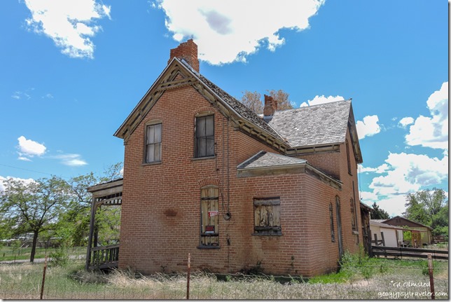 I especially admire the old brick houses, some renovated more than others, and although I’m not looking to buy might consider Escalante for a winter home base. It’s a town of 800 people located in the middle of nowhere, just what I like, and does offer basic services including RV parks (not my permanent living preference), motels, B&Bs, Yurts, auto repairs, coffee shop, outdoor gear, a variety of restaurants, and already mentioned shopping.
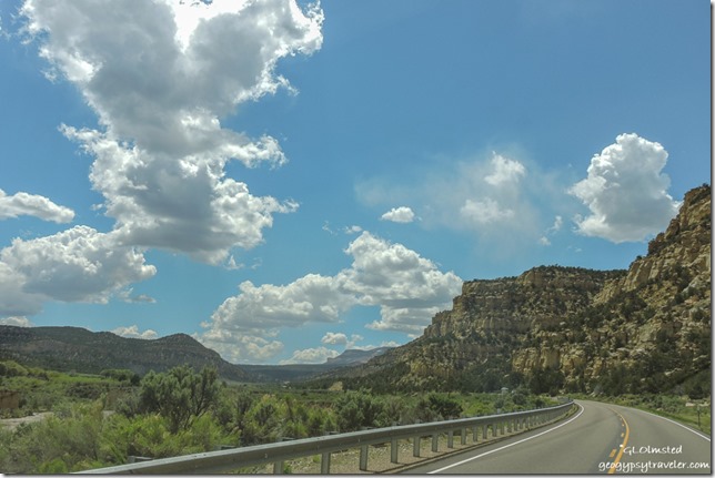 The return trip was of course equally beautiful. Back up onto the Kaiparowits Plateau, definitely worth more exploration in the Grand Staircase-Escalante National Monument for hiking, awesome geology and arches, fossils, and native ruins.
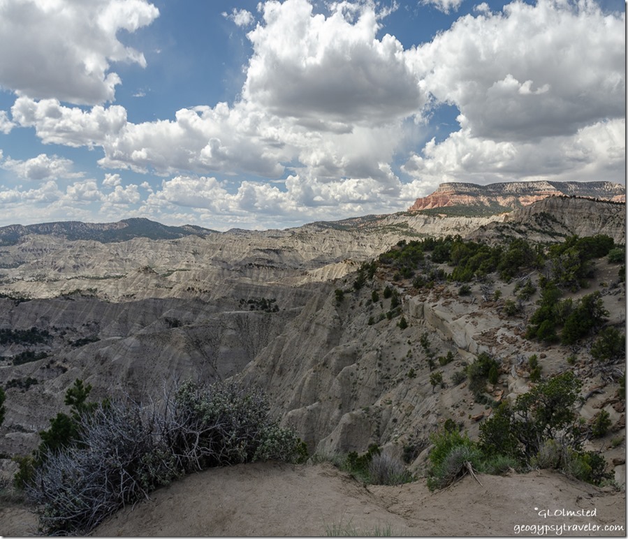 Stopped at The Blues overlook with Table Top Plateau high above. This badland of gray-green shale was deposited about 80 million years ago when the area was covered by an inland sea. This versus the younger sandstone and freshwater limestone deposited later.
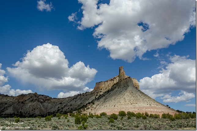 Back in Bryce Valley near Henrieville, the Promise Rock wayside provides more stunning rocky views. The town of Henrieville was settled in the 1870s and with a current population of a bit over 200 I suspect generations of decedents still reside in this cattle ranching community. I didn’t drive the side streets here or Cannonville as I did in Escalante and Tropic.
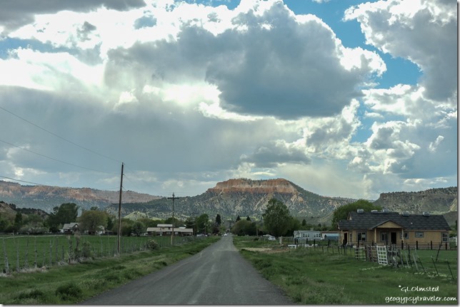 Far left cliffs Bryce Canyon amphitheater
Tropic is nestled between the amphitheaters of Bryce Canyon National Park to the west and Table Top Plateau to the east. Established in 1891 yet even with a growing population and development for tourism the population in 2010’s census was 530. I stopped at the hardware store where a guy, possibly the owner claiming third generation from Ebenezer Bryce, talked Tropic history for 30 minutes when finally another customer interrupted. Thank goodness, interesting but I wanted to also check out the Clarke’s Country Market which turned out to be just OK with tourist prices.
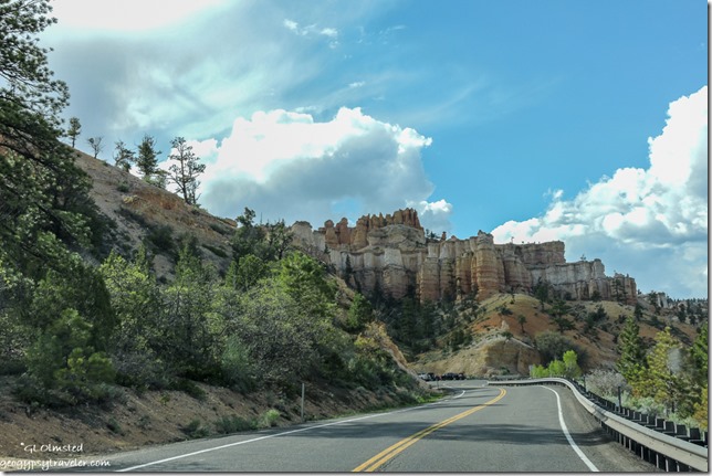 Back up onto the Paunsauguant Plateau after six hours to Escalante and back home to Bryce.
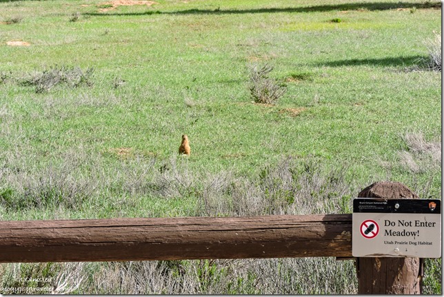 So much more to explore east along Utah’s Scenic Byway SR12 like Petrified Forest State Park, Calf Creek Recreation Area, The Hogback, the towns of Boulder and Torrey, plus beyond to Capitol Reef. And then there’s side trips to Posey Lake, Hole-in-the-Rock and Hell’s Backbone Roads, the Burr Trail and Anasazi Village State Park. All that and more in only one basic direction, east, of Bryce Canyon National Park. No wonder so many people love southern Utah.

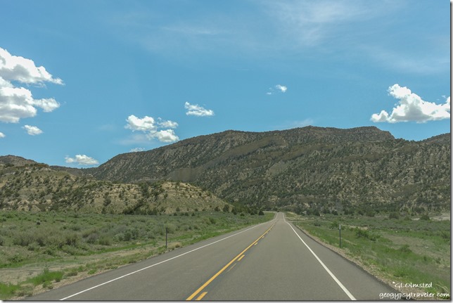
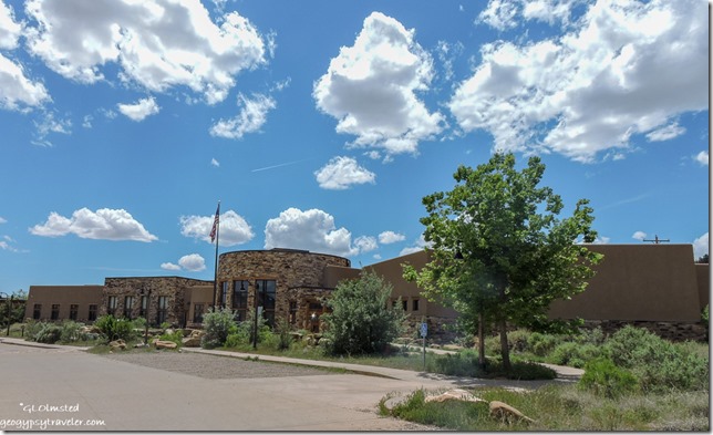
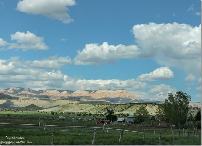
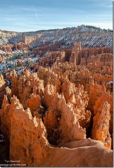
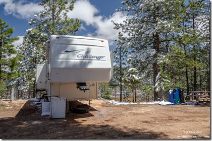
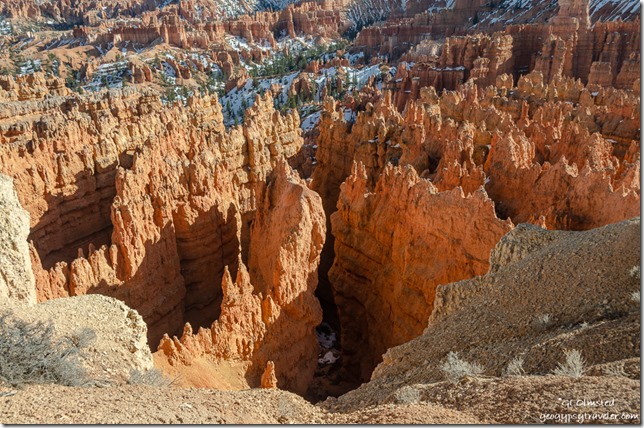
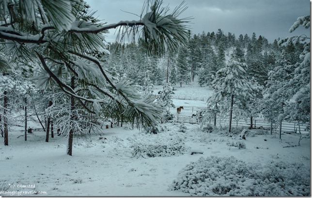
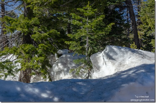
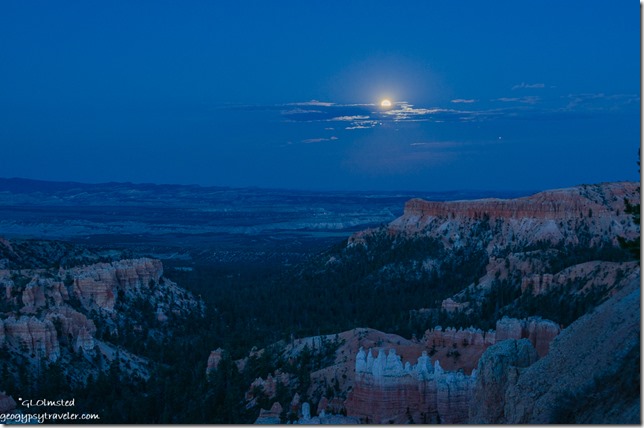
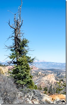
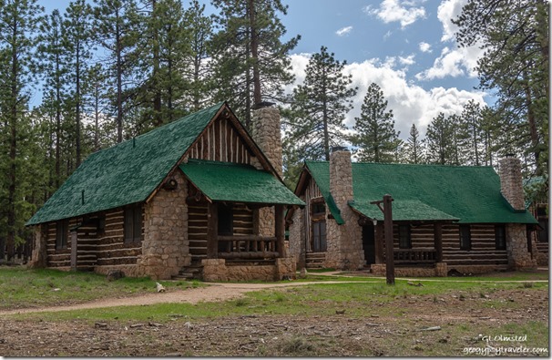
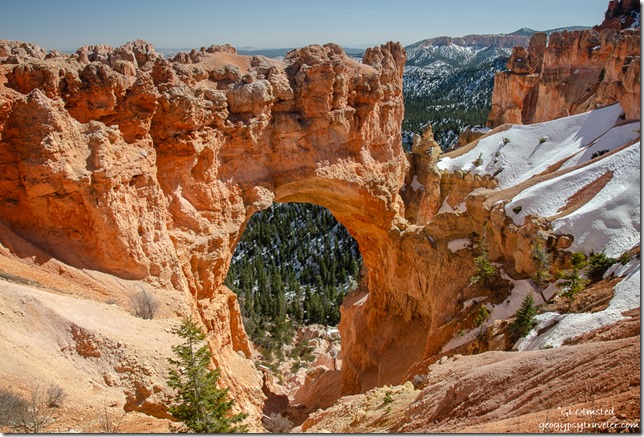
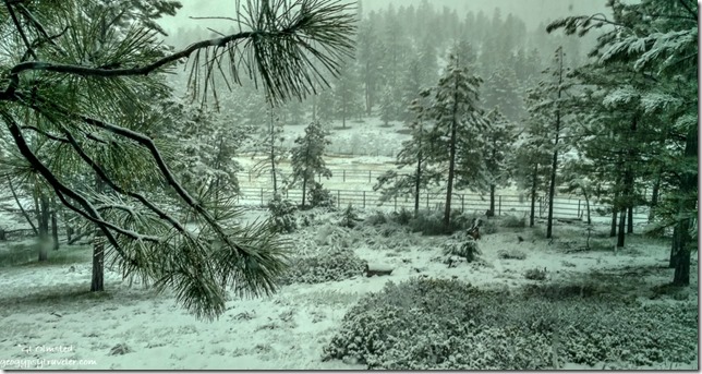
 This was a thorough and packed two weeks of Park Ranger training. Am I ready? No. But I did work the visitor center desk in uniform as a Park Ranger answering questions and providing orientation for almost four hours on Sunday. So I’m working on programs and orienting myself to the park. Still have almost two weeks until my first actual program beyond pointing to the stars. Plus writing this post helped a lot. Because I haven’t spent enough time on the rim many of these photos are from previous visits.
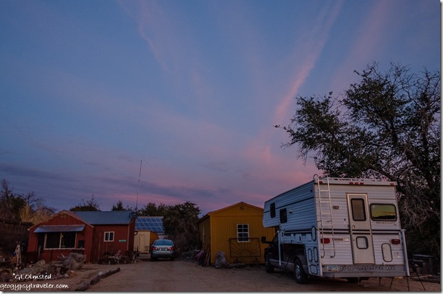
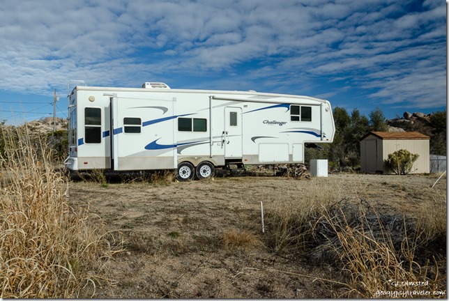
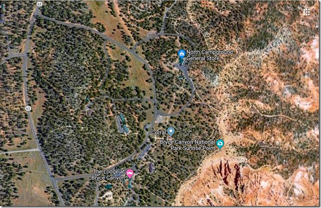 I’ve never seen the employee RV area at Bryce but am told it is near the corral which isn’t too far a walk to the rim. Not sure what kind of signal I’ll have and am hoping the big booster will get me out in the cyberworld.
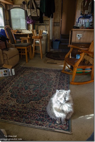
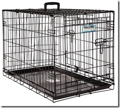 Any of you RVers have portable catteries? I saw a crate hung outside a window for under $50. Though not sure how it’s mounted. The ideal one was overpriced at $1500 and would have gotten her on the ground but would have been too bulky to move around. Also am looking at cat trees/poles for inside perching and clawing. Sierra doesn’t claw the furniture and I want to keep it that way.