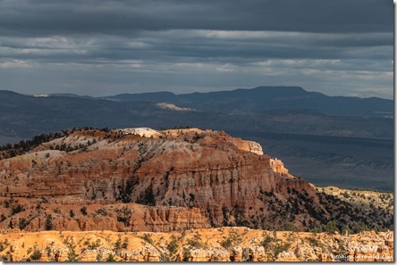
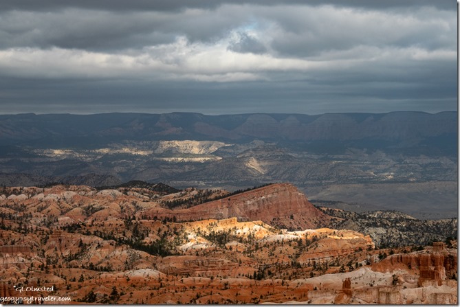
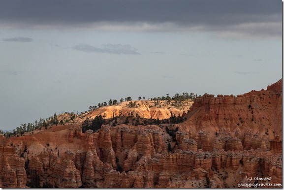
 Finally getting things done before end of season less than a month away. That’s me, always procrastinating.
 But three days off in a row feels like a treat and makes it a little easier getting things done. That followed by a four day work week, and two days off with company, then back to work. Do we call what I do work? Yes, but a nice balance being a summer seasonal Park Ranger and gypsy.
Last week’s days off were all about getting things done that I put off for too long. The computer’s been wonky so I did a double backup in case it dies. Also worked on the 2021 calendar photos and blog post. Guess the profit from those sales will go towards a new laptop. Once the final photos are chosen I’ll format and order so let me know if you want a calendar.
 Finally got around to ordering a bunch of stuff—almond syrup for my morning latte, a Bissell pet-fur vacuum cleaner, camping solar shower bag, and Queen-size memory foam topper for the camper’s bed. Need to have things shipped while I still have a physical address. Other chores were mundane like laundry and cleaning house—which I can almost put off forever—and replacing a dripping water hose.
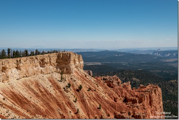
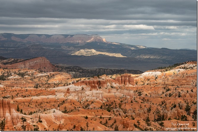
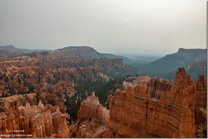
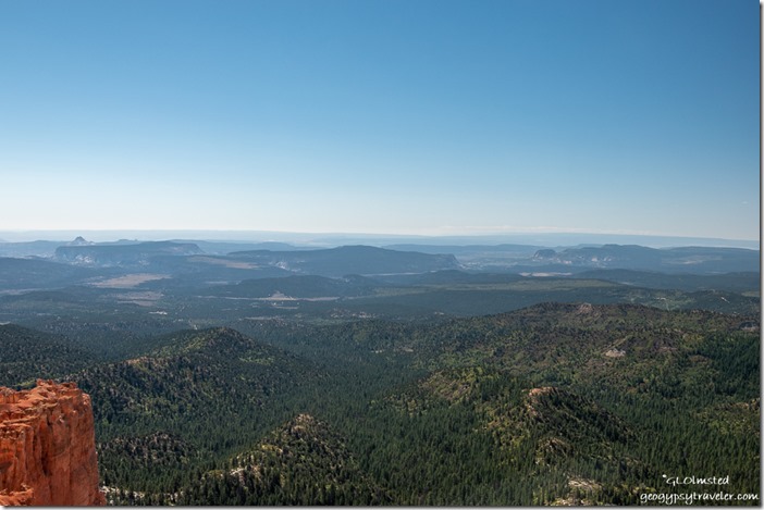 View southeast from Yovimpa Point 9-14-20
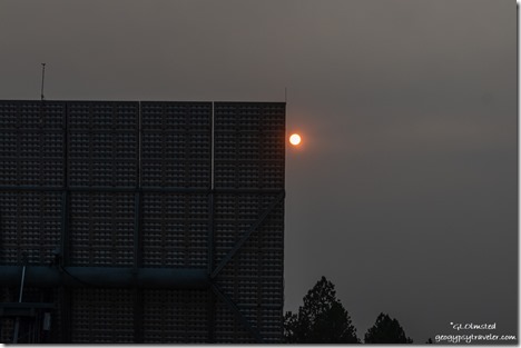
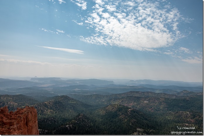 As above with smoky haze 9-19-20
Back to work on Saturday with the opening schedule, a couple hours at the visitor center, then gone the rest of the day to Rainbow Point, 18 miles, at the end of the road south followed by my choice of where to rove. OMG! Another crazy busy Saturday. Parking lot overfull by 11am so I drive down the road about 1/4 mile to a wide spot and walked back up to Yovimpa Point for a 12:30 and 1:30 Staircase geology talk. The high wind felt cold and chased me off the point before the second talk. Finished the afternoon roving at the Natural Bridge overlook for about an hour and then ended my day a little early. What the heck, I have hundreds of hours of sick leave.
Sunday was just as busy. I worked the afternoon at the visitor center and after dinner presented the 8pm evening program about wildlife at Bryce Canyon. Typically, visitation would level out after the holiday to boomers and folks without children. But so many people are homeschooling that travel to parks with kids is still a thing. Not to mention all the extra RVs.
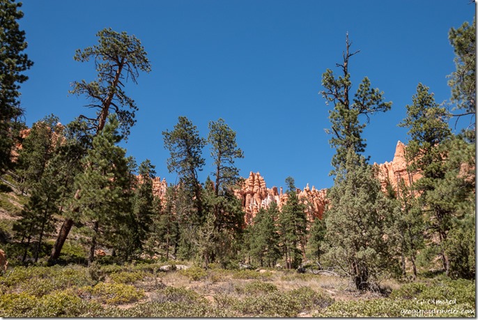
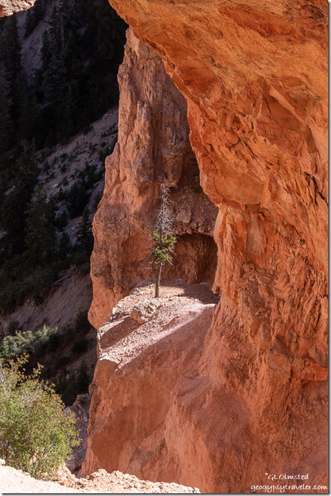
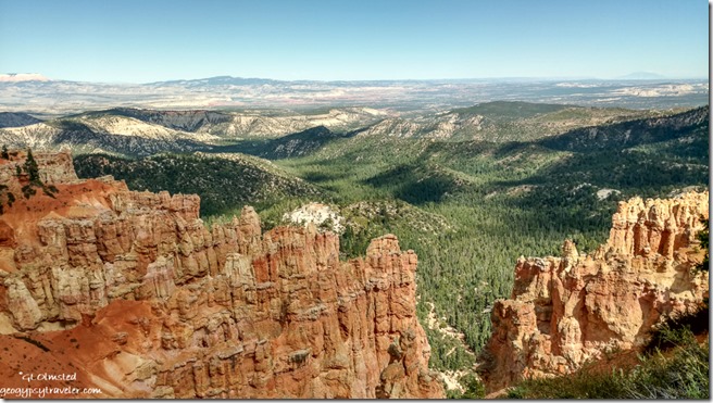
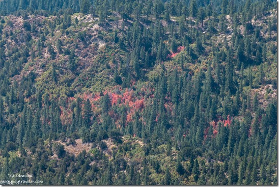 Autumn red mixes with evergreens below Yovimpa Point
Murphy at work in my laptop Monday morning, and on the website too, while I’m trying to post about the 2021 Geogypsy calendar. Hoping to use the calendar profits to help pay for a new computer. Still working on the comment problem here but it basically has to wait until days off, and help from a friend. Instead my work schedule took me to Sunset Point area that day in high winds that could have blown my hat off. Thunder boomed with cloud-to-cloud lightning and I managed to present the 11am hoodoo geology talk, but not the 1pm, before sprinkles of rain became grapple (mixed hail and snow) and then turned into a down pour just after I got into my truck. So I returned to the visitor center to help with inside orientation knowing it would be very busy as people descend on the building when it rains. Have been spoiled by being outside for that and it’s difficult to hear and talk through plexiglass especially wearing a mask.
Still plodding along on getting things done now that I have an end of work date of October 24th. The Bissell pet-fur vacuum arrived and works pretty good. Now I just need to get into the truckcamper with it to de-fuzz the place before moving into it for the winter. Solar shower also arrived and will be convenient for outside hot water washing. Set up the towing, winterizing, and storage of the 5th-wheel for winter on the same property as last year. Can you hear my big sigh of relief?
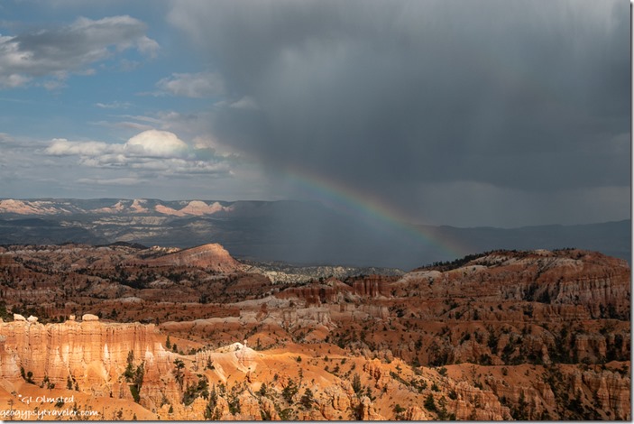 My Friday on Tuesday brought another day of rain and hail. Yet I still led a 4pm Rim Walk with 23 visitors even with sprinkles and we saw a rainbow. Or at least half a rainbow.
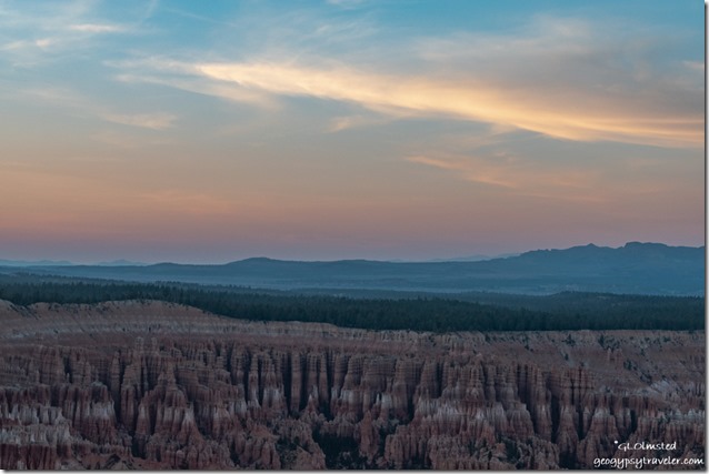
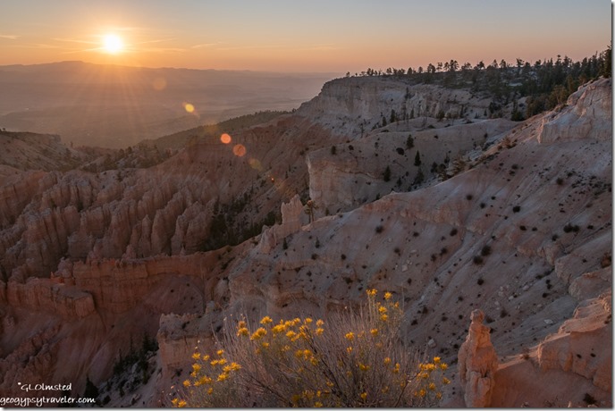
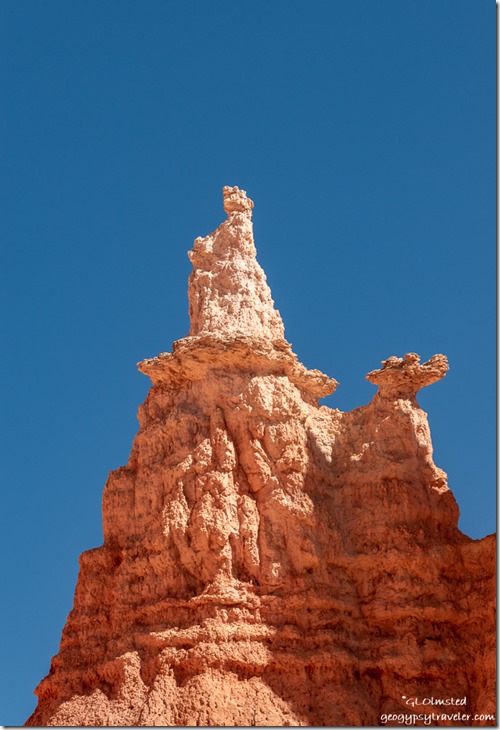
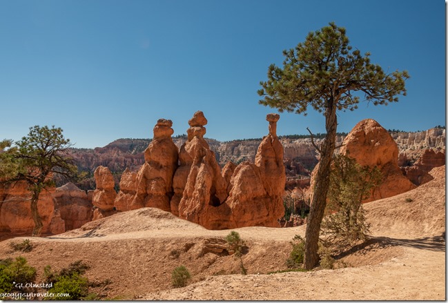
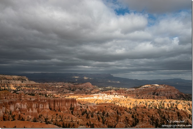
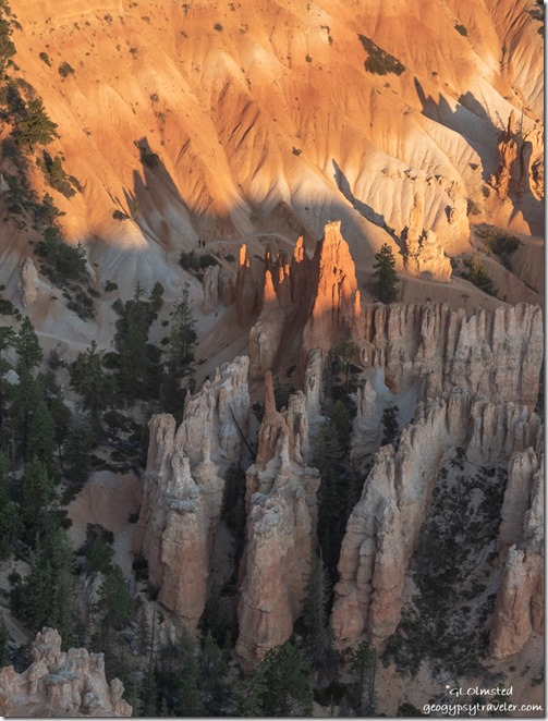
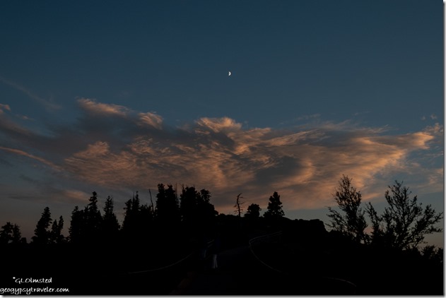 Company arrived Wednesday and we visited until time to watch the light change on the hoodoos with hope to catch a bit of sunset color. Then back to my RV to make dinner for a birthday boy/man.
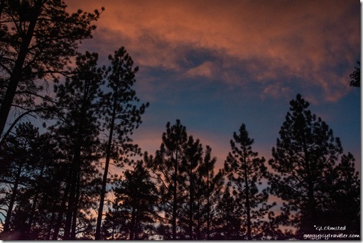
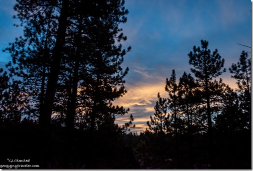
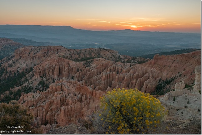
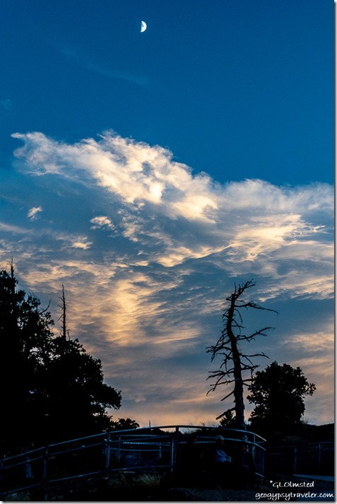
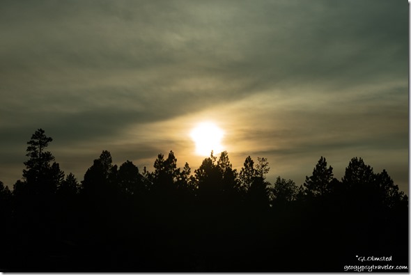
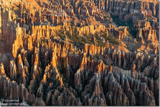 They even convinced me to get up before sunrise so we could photograph before they left Thursday for fall color in Colorado. Hard to believe this was the first sunset and rise I’ve shot all summer.
Well, other than through the RV window or door. Lazy or what?
Back to work on Friday under clear skies with a light smoky haze on the horizon and roving the busy rim from 10am-2pm. Most questions are about directions and trailheads. Then back to the visitor center for the rest of the afternoon and more questions.
Another crazy busy Saturday and not necessarily because it was National Public Lands Day and also fee free as most visitors don’t even know it’s a free day. All parking lots at overlooks were full and closed several times throughout the day. Extra shuttles were added. And even the overflow parking was maxed with mostly RVs. Volunteer visitors helped us pick up litter at three popular overlooks.
 My afternoon Rim Walk went with, once again, 23 visitors and some wonderful conversation about overflowing national parks. My cultural history talk/walk includes how people’s connection to the land has changed over time, both historically and as individuals. I love when visitors share their stories. I’m still calling this summer “weirdly wonderful” as it hasn’t been quite as crowded as the previous summer. Really think we need more national parks to accommodate people.
 I wrote this on a Sunday off work—not my usual day—because I’m leading an almost-full-moon walk on Wednesday night. I will post about that soon, or as I’m getting things done. Then a friend calls and says, “How about checking out the fall colors on the North Kaibab?” So that has me thinking about my next two days off.
 I found out from a cousin his dad, my 97-year old Uncle Kay, died last week. He was the last of our family’s elder generation, and now it is us boomers who are the seniors. Hard to believe.

