• Home
  • About Geogypsy
    • Herstory
    • Parks where I’ve worked
  • Places I’ve been
    • United States
      • Arizona
        • Antelope Slot Canyon
        • Casa Grande Ruins National Monument
        • Colossal Cave Mountain Park
        • Flagstaff
        • Glen Canyon National Recreation Area
        • Grand Canyon National Park
          • Grand Canyon National Park North Rim
          • Grand Canyon National Park South Rim
          • Toroweap
        • Havasu Canyon
        • Horseshoe Bend
        • Jerome
        • Kaibab National Forest
        • Lee’s Ferry
        • Meteor Crater
        • Navajo Bridge
        • Oak Creek Canyon
        • Painted Desert
        • Pipe Springs National Monument
        • Prescott
        • Quartzsite
        • Saguaro National Park
        • Sedona
        • Sunset Crater Volcano National Monument
        • Vermilion Cliffs
        • Walnut Canyon National Monument
        • Wupatki National Monument
        • Yarnell
      • California
        • Anzaberrego
        • Bakersfield
        • Death Valley National Park
        • Joshua Tree National Park
        • Redwoods NP
        • Salton Sea
        • Yucca Valley
      • Colorado
        • Mesa Verde National Park
      • Florida
      • Illinois
        • IL River
        • Morton Arboretum
        • Starved Rock State Park
      • Michigan
      • Nevada
      • New Mexico
      • Oregon
        • Crater Lake NP
        • Mt Hood
        • Oregon Caves National Monument
      • Texas
        • Alpine Texas
        • Padre Island
        • Port Isabel
        • Rio Grande Valley
      • Utah
        • Brian’s Head
        • Bryce Canyon National Park
        • Buckskin Gulch
        • Cedar Breaks National Monument
        • Cedar City
        • Coral Pink Sand Dunes State Park
        • Dixie National Forest
        • Grand Staircase Escalante National Monument
        • Johnson Canyon
        • Kanab
    • World Travels
      • Germany
      • Mexico
      • South Africa
  • Tours
  • Photography
  • Work with Me
    • Sponsors
  • Contact
Geogypsy
Menu
  • Home
  • About Geogypsy
    • Herstory
    • Parks where I’ve worked
  • Places I’ve been
    • United States
      • Arizona
        • Antelope Slot Canyon
        • Casa Grande Ruins National Monument
        • Colossal Cave Mountain Park
        • Flagstaff
        • Glen Canyon National Recreation Area
        • Grand Canyon National Park
          • Grand Canyon National Park North Rim
          • Grand Canyon National Park South Rim
          • Toroweap
        • Havasu Canyon
        • Horseshoe Bend
        • Jerome
        • Kaibab National Forest
        • Lee’s Ferry
        • Meteor Crater
        • Navajo Bridge
        • Oak Creek Canyon
        • Painted Desert
        • Pipe Springs National Monument
        • Prescott
        • Quartzsite
        • Saguaro National Park
        • Sedona
        • Sunset Crater Volcano National Monument
        • Vermilion Cliffs
        • Walnut Canyon National Monument
        • Wupatki National Monument
        • Yarnell
      • California
        • Anzaberrego
        • Bakersfield
        • Death Valley National Park
        • Joshua Tree National Park
        • Redwoods NP
        • Salton Sea
        • Yucca Valley
      • Colorado
        • Mesa Verde National Park
      • Florida
      • Illinois
        • IL River
        • Morton Arboretum
        • Starved Rock State Park
      • Michigan
      • Nevada
      • New Mexico
      • Oregon
        • Crater Lake NP
        • Mt Hood
        • Oregon Caves National Monument
      • Texas
        • Alpine Texas
        • Padre Island
        • Port Isabel
        • Rio Grande Valley
      • Utah
        • Brian’s Head
        • Bryce Canyon National Park
        • Buckskin Gulch
        • Cedar Breaks National Monument
        • Cedar City
        • Coral Pink Sand Dunes State Park
        • Dixie National Forest
        • Grand Staircase Escalante National Monument
        • Johnson Canyon
        • Kanab
    • World Travels
      • Germany
      • Mexico
      • South Africa
  • Tours
  • Photography
  • Work with Me
    • Sponsors
  • Contact

Category: Oregon

19 November 2014

Highways and byways along the Columbia River Gorge

Columbia River view from Vista House Crown Point Columbia R Gorge Scenic Highway OregonBeing the Columbia River carved through the Cascade Mountains to create the closest route to sea level it’s not surprising that Lewis and Clark took this water option on their journey west.  But today there are three road options and two railways that parallel the river in the two states that border it.  Washington and Oregon both offer highways and byways along the Columbia River Gorge.
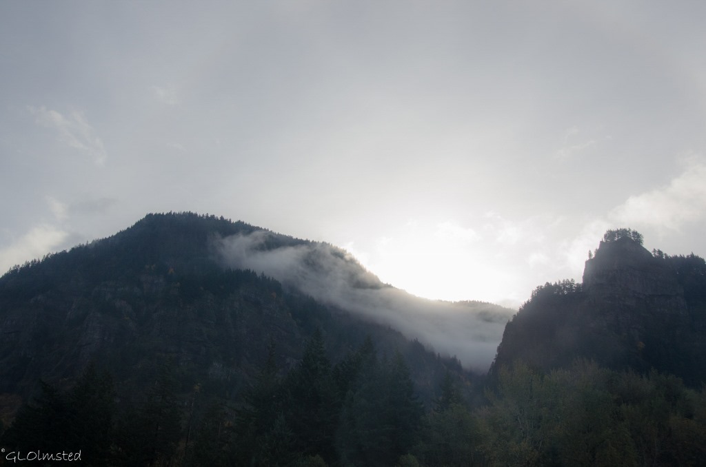
Columbia River Gorge I84 OregonThe Freeway

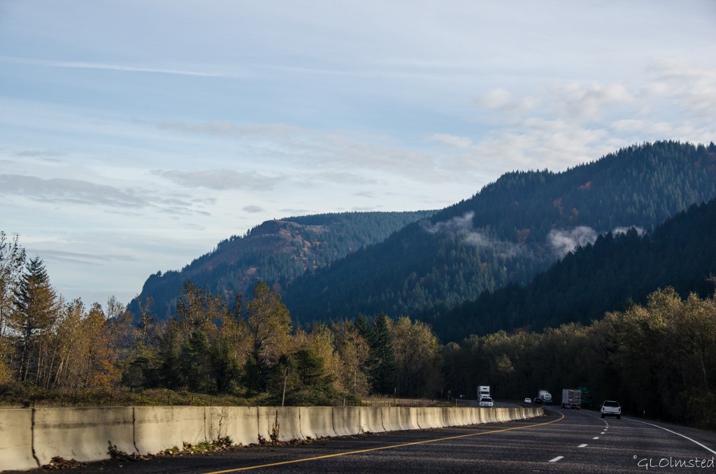
Low clouds on Mountains Columbia River Gorge I84 OregonIt was a gray day with clouds hanging low on the mountains.  Yet the fall colors marching up the hillsides rocky cliffs brought light to the day.  Berta and I took Interstate 84 east from Troutdale to Cascade Locks traveling about half the 75 mile Columbia River Gorge.   Although providing scenic views there’s no place to pull over except for the Multnomah Falls exit where we didn’t stop.
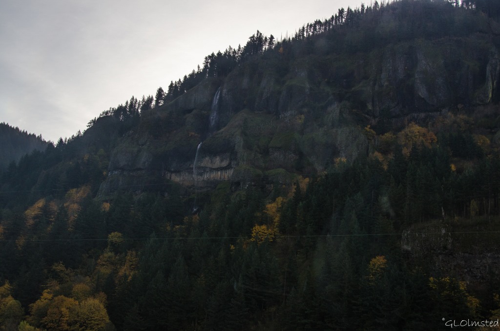
Waterfall Columbia River Gorge I84 OregonAs a passenger I looked longingly at multiple waterfalls along the way.
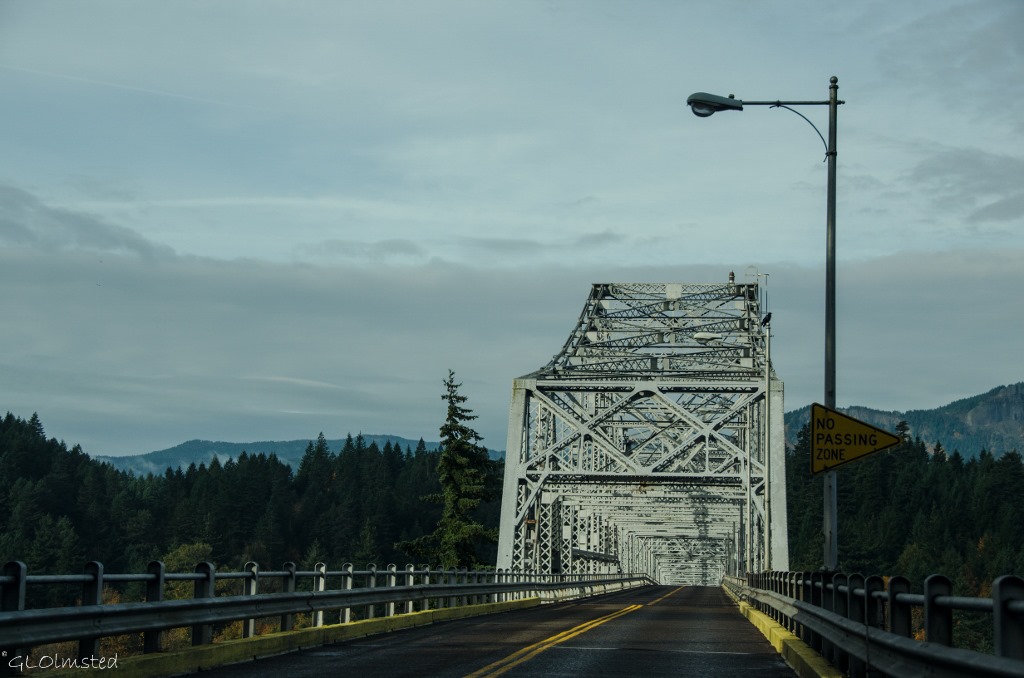
Bridge of the Gods Columbia River Gorge Cascade Locks OregonWe crossed the mighty Columbia on Bridge of the Gods paying our $1 toll to Oregon.  I call this the “hum” bridge as the metal grid brings song to the tires.

Washington 14

After visiting a friend we returned west on State Route 14 and I thought about all the times I’ve driven this route, although it had been a while.  Back in 1996/97 I worked for US Fish and Wildlife living in Underwood on the east end of the Gorge.  The following summer I lived and sold at a flea market in Carson.  It’s simple rural country like you know I love but did mean a drive for shopping to either Vancouver or Hood River with Gorge-ous views along the way.
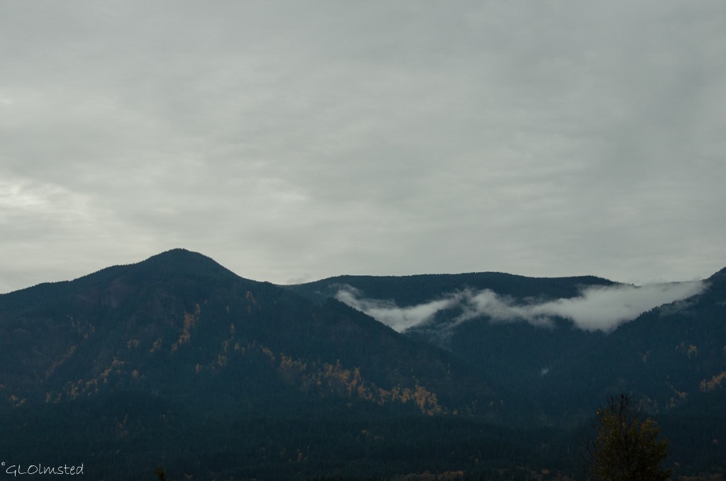
Low clouds & fall colors Columbia River Gorge SR14 WashingtonOne of the best things about driving on the Washington side of the river is looking across at the Oregon side.

Fall colors Columbia River Gorge Historic Scenic Highway OregonScenic Highway

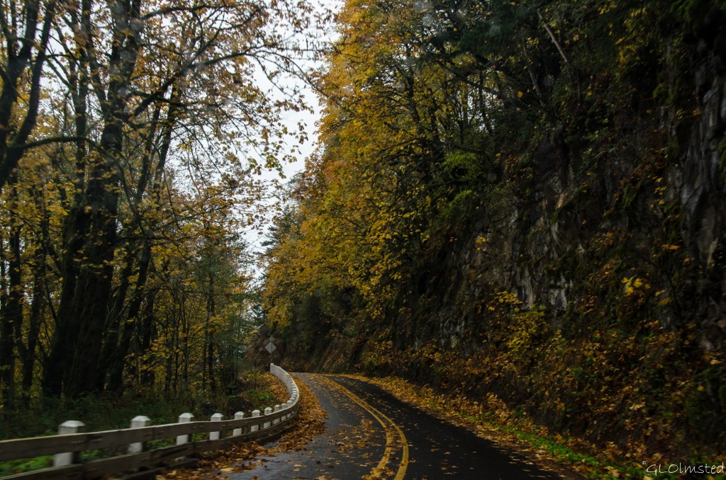
Finally, on our last full day in Oregon we drove east under increasingly heavy skies on the Historic Columbia River Highway.  Considering the lack of sun the glowing fall leaves gave off an almost eerie glow.  And the wet leaf covered roadway could be slick but it’s a slow drive.  Built between 1913-22, as the first planned scenic roadway in the US to be modeled after the great scenic roads of Europe and designed with an elegance that took full advantage of all the natural beauty along the route.  Grades, curvature, distance and even expense were sacrificed to reach some scenic vista or to develop a particularly interesting point.  Imagine driving this in a Model-T.
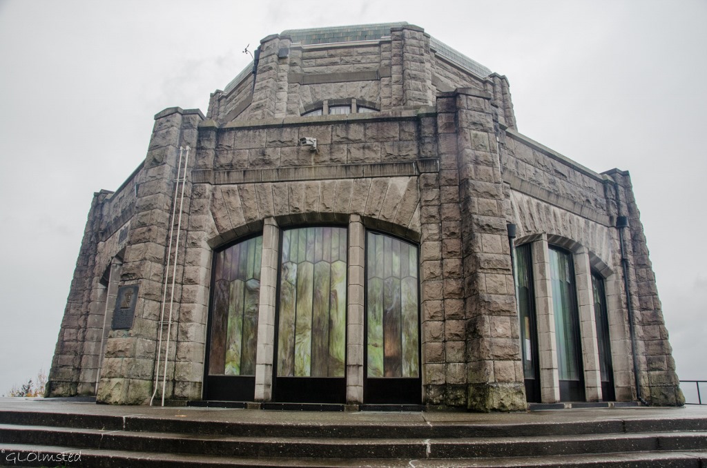
Vista House Historic Columbia River Highway Crown Point OregonFirst stop, barely between the rain drops, Vista House built in 1918 on Crown Point as a rest stop observatory.  The Vista House was designed as an example of modern German architecture, or the German equivalent of Art Nouveau.  The gray sandstone structure is 44 feet in diameter and 55 feet high standing out as a landmark from both sides of the river.  Commercial activities, like concession gift shops, have operated here since it’s opening.  Then in 1982 the Friends of Vista House was formed by a group of community volunteers and in cooperation with the Oregon Parks and Recreation Department operate the building in a more interpretive manner.  Unfortunately it’s only open on weekends so we could only peek in the windows.  The first photo shows a view from Vista House that would certainly be better on a clear day.
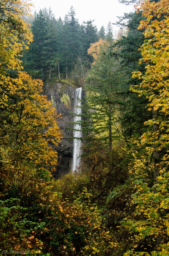
Latourell Falls Guy W Talbot State Park Columbia River Historic Scenic Highway OregonLatourell Falls Guy W Talbot State Park

Instead we dealt with the rain making a few quick stops at easily accessed viewpoints.  Upon completion of the highway in 1915, many generous landowners donated property in an act to preserve and share the splendor and create scenic stops along the way.
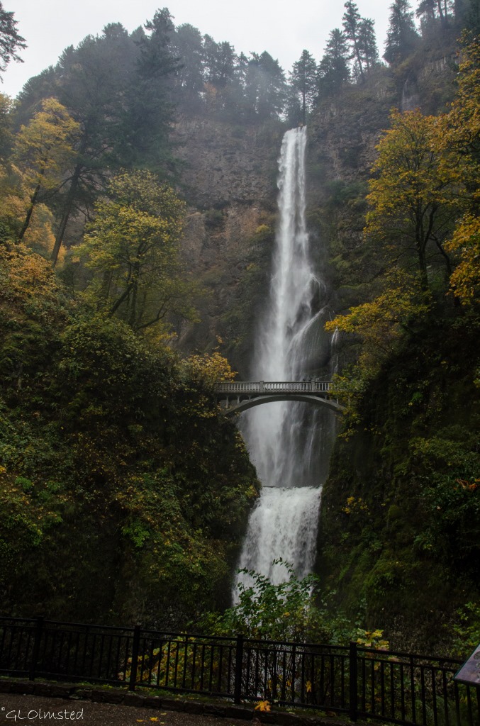
Multnomah Falls Columbia River Gorge OregonBy time we got to the famous giant of Multnomah Falls the rain had seriously increased and Berta almost didn’t come for a look.  I couldn’t help it.  I was drawn to the sound of the thundering water.  Trying to hold the camera under my rain jacket yet still got tiny water drops on the lens.  Multnomah Falls is the second highest year-round waterfall in the US and one of 77 on the Oregon side of the Columbia River Gorge.  Created by underground springs from Larch Mountain the falls plunge off steep basalt cliffs 543 feet to the upper pool then another 69 feet before flowing into the Columbia River.
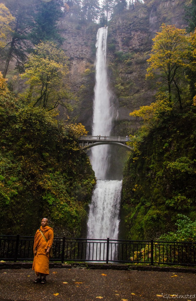
Monk by Multnomah Falls Columbia River Gorge OregonI paused to allow for the photo of the monk by his two companions then couldn’t resist one myself due to the bright colored wrap that almost matched the fall colors.  I usually take landscape photos, trying to leave people out.  Yet this was definitely ‘the’ photo of the day.  At least the rain reduced the crowd.
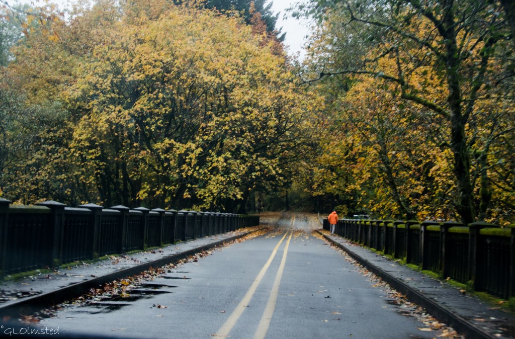
Historic Columbia River Gorge Scenic Highway OregonWe didn’t stay very long or continue east for more scenic opportunities and instead returned on the scenic highway driving slowly in the rain on the oil slicky leaves.  We stopped at the Tippy Canoe where we split a huge burger for lunch.

Train

Before locomotives and 45 years after Lewis and Clark braved the Columbia River, Hardin Chenowith built the first railroad in what would eventually be Washington.  A wagon on wood rails pulled by a single mule assisted early settlers around the Columbia’s rapids in 1851 for 75 cents for every 100 pounds of freight.  Between 1855 and 1862 Joseph Ruckel and Harrison Olmstead operated a similar operation on the south side of the river.  (Wonder if he’s an ancestor of mine.)  This was followed by the first steam engine in the Pacific Northwest called the “Oregon Pony”.  By 1908 the Great Northern Railway and Northern Pacific Railroad completed a line along the north side of the Columbia River.

Today the Mount Hood Railroad offers scenic excursions along Oregon rails including trail robberies, murder mysteries and a polar express.
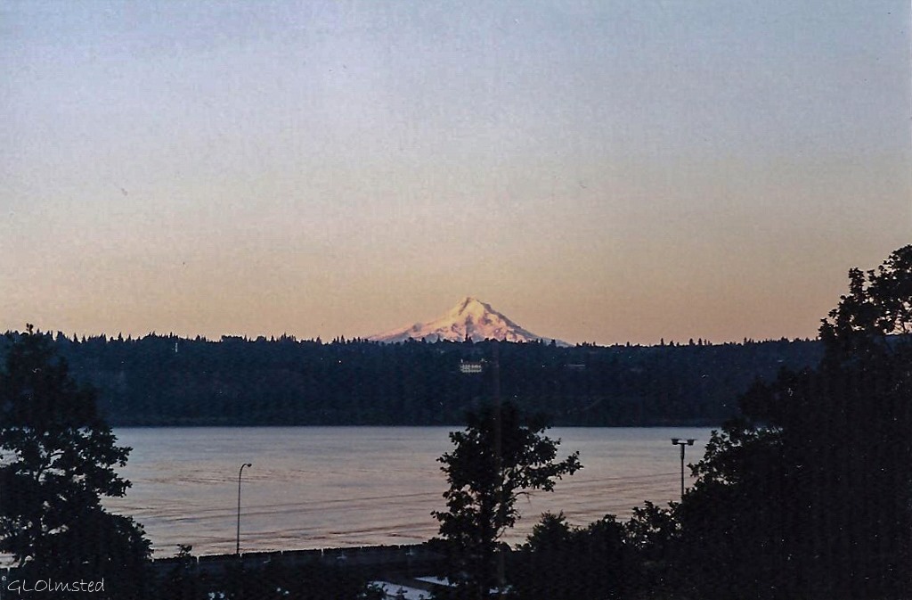
Mt Hood & Columbia River Underwood WashingtonRail lines run between the highways and the river in both states.  My Fish & Wildlife housing looked across the Columbia River and sat about 100 feet from the Washington SR14.  Those trains ran every 22 minutes.

Bonneville Dam Columbia RiverThe River

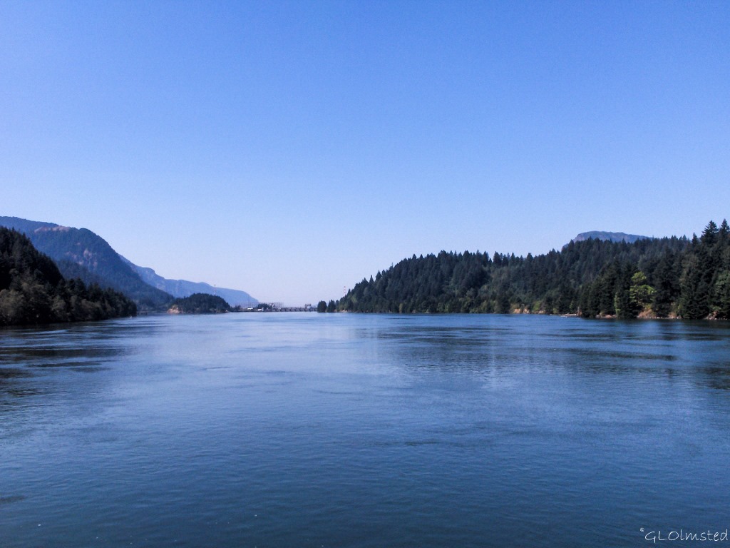
Once thought to be the Northwest Passage, this powerful river of the west begins in British Columbia, Canada and flows 1200 miles to the Pacific Ocean at Astoria.  The second largest river in North America has been altered over time from the raging waters Lewis and Clark faced to a languishing series of pools between hydroelectric dams.  Steamboats, railroads, and highways replaced canoes and rafts.  Barges hauling grain, livestock, lumber, fruit, and vegetables still ply the water’s today.
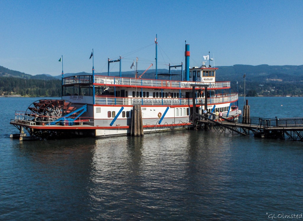
Sternwheeler Columbia Gorge Cascades Locks Columbia River OregonSteamboat excursions are available out of Portland and Cascade Locks.  In 2006 I enjoyed a champagne brunch aboard the Columbia Gorge out of Cascade Locks.

Basalt along the Columbia River WashingtonThe Gorge

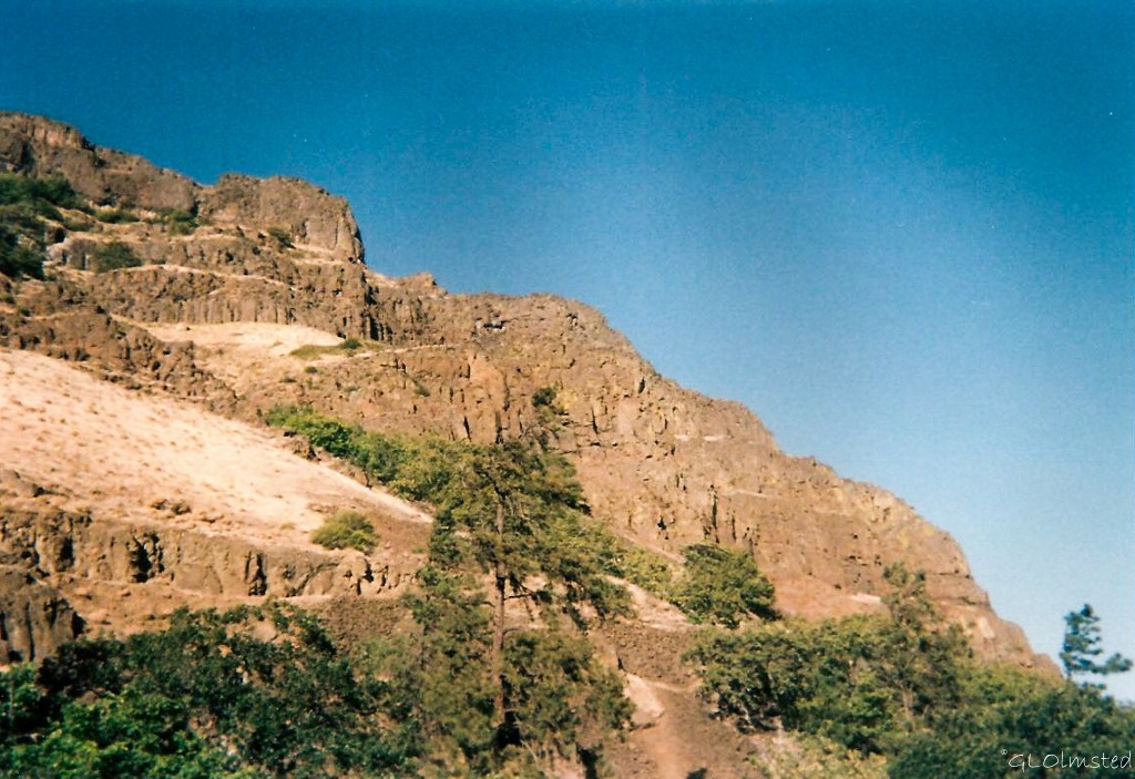
Because I love rocks here’s a brief geology of the gorge.  So, about 40-20 million years ago thousands of volcanic eruptions piled layers of volcanic ash, lava, and mudflows over this region.  Millions of years later, mudflows poured off those volcanoes, covering the land with hundreds of feet of ash, boulders, and cobbles.  17-12 million years ago volcanic cracks in the earth’s crust spread lava across the region up to 2,000 feet (600 meters) deep frequently cooling into columnar basalt.  2 million to 700,000 years ago hundreds of volcanoes erupted during uplift of the Cascade mountain range and the Columbia River carved out a deep gorge.  During the last ice age 16,000-14,000 years ago a 2,000 foot (600 meters) high ice dam that blocked the river collapsed hundreds of times allowing for quick floods to scour the Gorge.
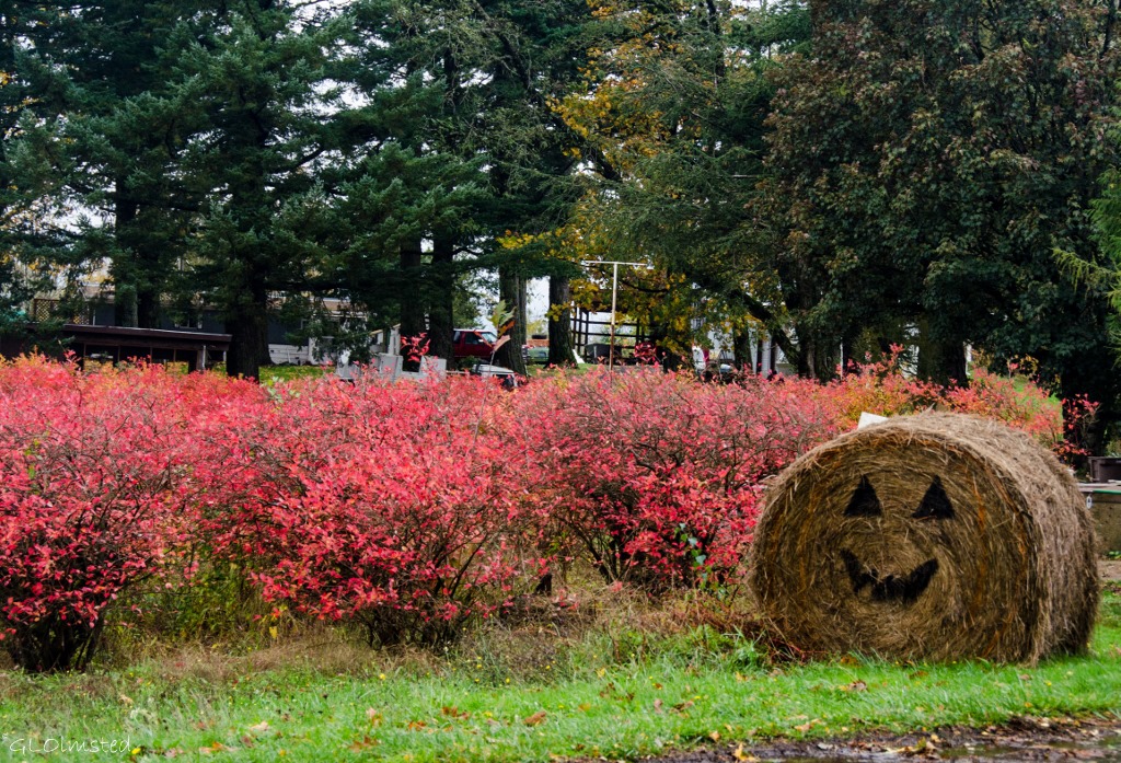
Blueberry Farm Corbett OregonColumbia River Gorge National Scenic Area

Even if you’re not into the geology, the Gorge offers miles of hiking through lush forests, past waterfalls and streams with distant views of the Cascade Mountains.  The Columbia River Gorge National Scenic Area was established in 1986 to protect and enhance the scenic, natural, cultural, and recreational resources of the Columbia River Gorge encompassing 292,500 acres, approximately 85 miles long and approximately 4,000 feet deep.  There’s a lot going on in these acres including wilderness areas, 13 cities, 6 counties, 4 developed campgrounds, 13 state parks, 2 National Trails, 57 Forest Service trails with a combined length of 218 miles, 53 waterfalls, 2 scenic rivers, over 800 species of wildflowers, more than 200 species of birds, and many species of large and small animals.  Whatever your interests, you just can’t go wrong here.
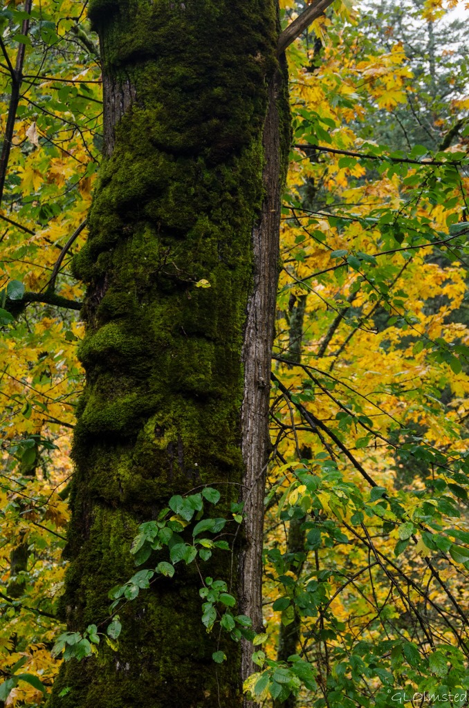
Moss on tree & fall colors Columbia River Gorge OregonAfter a week in Oregon, Berta described the weather as “drippy” and says if a building hasn’t been painted in the last week it needs it.  Yet there wouldn’t be the lush growth, waterfalls and rivers without that drip.  Every season is gorgeous in the Gorge.  Summer can be very busy with 2 million visitors a year.  Yet there are so many options, by road, rail, water or foot.  And although a little ‘drippy’ I found fall a gorgeous time to visit.

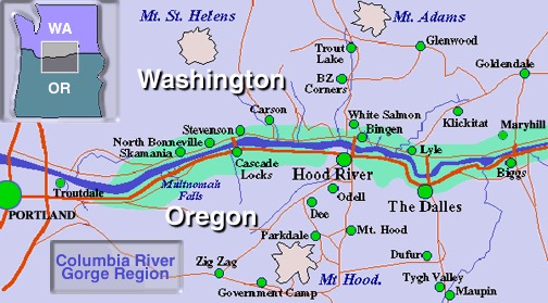
19 Gorge map from usda

Push my buttons!

  • Click to share on Facebook (Opens in new window) Facebook
  • Click to share on X (Opens in new window) X
  • Click to share on LinkedIn (Opens in new window) LinkedIn

Like this:

Like Loading...
Oregon Columbia River Gorge 31 Comments
10 November 2014

Connecting to the sea at Oregon Coast Aquarium

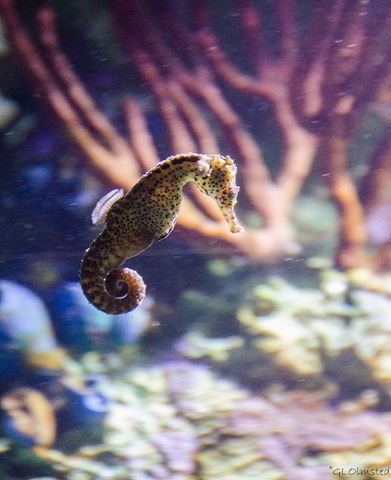
Seahorse Oregon Coast Aquarium Newport OregonAt first I was hesitant because I don’t like to see animals caged, in this case by glass.  However the exhibits at Oregon Coast Aquarium are mesmerizing.  They held no large animals, even though no enclosure can be big enough or as expansive as the sea.  This educational facility promotes environmental awareness, conservation and good stewardship through enjoyment, education and research.

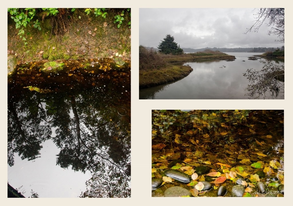
Forest reflection, fall leaves and estuary Oregon Coast Aquarium Newport Oregon collageUpon entering the aquarium grounds the environment changed from a bustling Newport to a natural forest.  No wonder, as the aquarium gardens feature over one hundred plant species, creating a lush and ever-changing natural environment. Red Alder, Creek Dogwood and towering Big Leaf maple trees cast long reflections in the trickling stream full of fall leaf colors.  A small beaver dam with a tranquil saltwater marsh could be seen beyond the trees.  The process used to reclaim the land on which the aquarium sits is called “naturescaping,” or landscaping with native plant life.  Before the 1990s construction the southern end of the Yaquina Bay had been turned into a dumping ground by local industry.

Welcome to Oregon Coast Aquarium

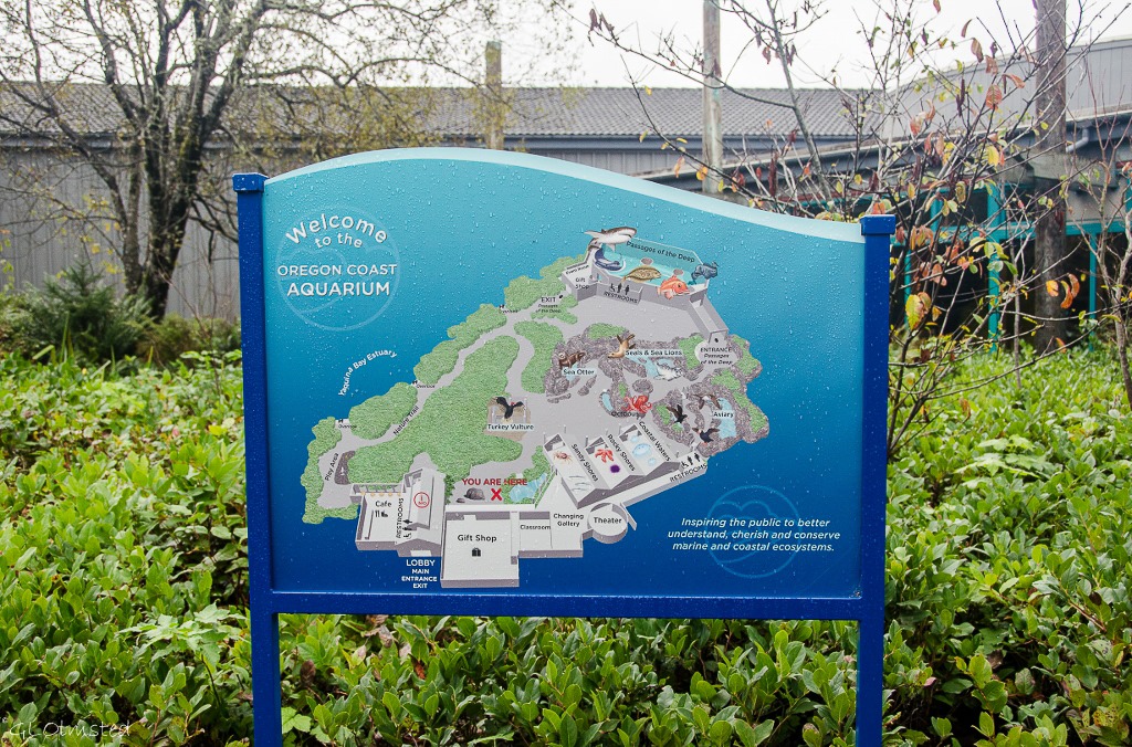
Map of Oregon Coast Aquarium Newport OregonWe entered through the main lobby and after buying tickets our photo was taken.  Various options for copies of the photos could be purchased on the way out but we opted not to.  There is a café and espresso stand attached to the lobby.  Just outside the door and near one of the gift shops were two “Foto Fun” photo booths that we should have taken advantage of.  Anyone remember strip photos for $1?  I think the price has gone up a bit since I was a kid.  Berta bought some gifts for her great grandsons including interactive and coloring books that look like fun.  Large sculptures of sea life carved from wood or cast bronze decorated the walkways.  Even the door handles were artistic like the one that looks like octopus tentacles that I shared on the Geogypsy Facebook page.

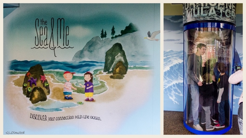
The Sea & Me exhibit and hurricane simulator Oregon Coast Aquarium Newport OregonThe Sea & Me provides interactive exhibits for children young and old like a submarine sea lab, kid-sized fishing boat complete with rubber bibs, a theater with activities, books and costumes, digging in the sand for agates and shells which I’d already done at the beach so left these behind, plus large tanks full of exotic colored fish.  Berta donated $1 to the $2 hurricane force wind experience for these four boys and we watched their smiles increase along with the power of the wind.  Note the 78.5mpr.

At the shore

We wandered from building to building working our way from the shore to the sea.  I saw Tsunami warning signs all along the Oregon coast recommending to drop, cover and hold during an earthquake followed by walking briskly to high ground after the shaking stops.  Undersea earthquakes occur along the Cascadia Subduction Zone running from northern California to British Columbia.  A tsunami can deposit a layer of sea sand in its path creating sandy shores where sea life lives with human constructs like pier pilings and tidal pools in the surf zone.

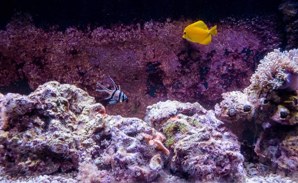
Fish swimming Oregon Coast Aquarium Newport OregonRocky shores are frequent along the Oregon coast and animals have adapted to water at high tide and sun at low.

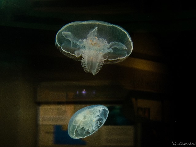
Moon jellies Oregon Coast Aquarium Newport OregonMoon Jellies

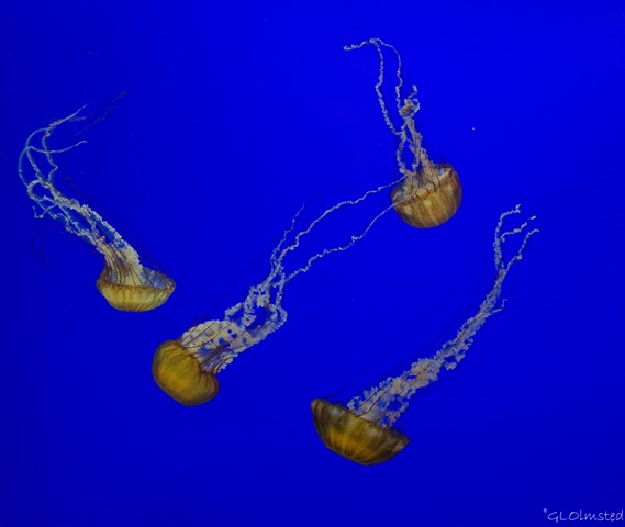
08b DSC_0861lecrw Pacific Sea Nettles Oregon Coast Aquarium Newport OR g (1024x864)-2Pacific Sea Nettles

The Coastal Waters “At the Jetty” exhibit was my favorite with Moon jellies and Pacific Sea Nettles providing quite a show.  However despite the common name of jellyfish, jellies aren’t fish.  They float through life with no brain, no spine, no bones and no heart and are more than 95% water and salts.  They swim by contracting the band of muscle fibers encircling the bell and because this gentle pulsing isn’t very strong they are considered plankton drifting with the currents.  Some jellies sting with their tentacles to stun plankton and small fishes before eating them but we can also be stung both in the water and on the sand.

Hiding in the rocks

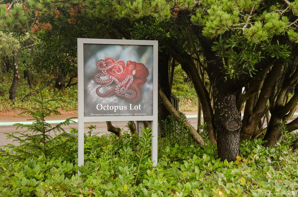
Giant Pacific Octopus parking lot sign Oregon Coast Aquarium Newport OregonThe Giant Pacific Octopus was not to be seen.  And although it may look fearsome is quite shy, sleeping by day in a rocky den or crevice to hide from predators.  By night, it combs the seafloor seeking crabs, shrimp and other shellfish which it takes back to its den to eat then piles the empty shells outside in what’s called an octopus’s garden.  So that’s where that Beetles line comes from.

Seabird Aviary

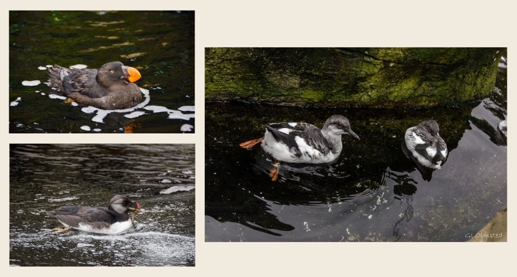
Horned Puffin, Pigeon Guillemots & Rhinocerous Auklet Seabird avaiary Oregon Coast Aquarium Newport OregonHorned Puffin, Pigeon Guillemots & Rhinocerous Auklet

Next we wandered twisting trails between the rocks into the aviary where the species exhibited are members of the Alcid family commonly found off the Oregon Coast.  They spend most of their lives at sea, returning to rookeries along the rocky coast once a year to breed.  Veteran divers, Alcids gracefully “fly” underwater and frequently dive to depths of 30-40 feet (9-12 meters).  Their diet consists primarily of small fish like herring or smelt.  Except for the Black Oystercatchers that do not dive for fish, but chisel limpets, crabs and mussels from tide pool rocks and break them open with their beaks.  I was very excited to see Tufted Puffins yet their fall plumage is not so dramatic as during mating season.

A separate exhibit houses a sibling pair of vultures, named Ichabod and Olive who were taken from their nest as hatchlings into a human home.  Shortly thereafter, they were turned over to wildlife rehabilitation specialists who were able to provide the care they needed.  But, as a result, they imprinted on human beings early and were unable to be released back into the wild.

Mammals of the sea

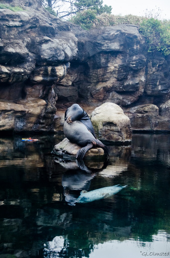
California Sea Lion & Harbor Seal Oregon Coast Aquarium Newport OregonHarbor Seals and Sea Lions, known collectively as pinnipeds meaning feather- or fin-footed, share the same newly enlarged tank exhibit.  Sea Lions are long, sleeker-looking and have large front flippers and a hinged pelvis which helps them to effectively navigate on land.  Males have a large round forehead and are much bigger than females at 8 feet (2.4 meters) in length weighing 850 pounds (385 kilograms) while females are 6 feet (1.8 meters) in length and weigh 220 pounds (99.7 kilograms), both live 25-30 years.

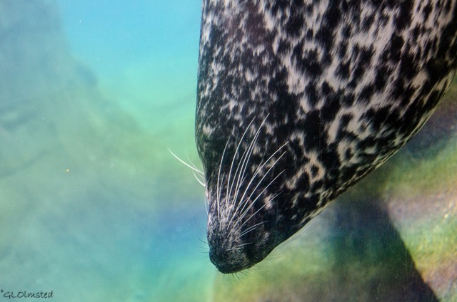
Harbor seal Oregon Coast Aquarium Newport OregonHarbor Seals are smaller and more “sausage shaped.” They have comparatively small fins and are not as vocal as the barking Sea Lions.  About 6 feet (1.8 meters) in length, weighing 300 pounds (136 kilograms), and live 25-30 years, males and females look very similar.  They often swim right up to the barrier for a closer look like this female who hung upside down and just seemed to stare at us.  The surrounding rainbow colors must be from the glass/acrylic.

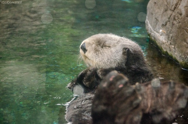
Sleepy Sea Otter Oregon Coast Aquarium Newport OregonThe all-male raft of Sea Otters is the largest population in the state of Oregon as they were hunted to extinction for their unique pelts with the last one being killed just off the Newport Beach in 1907.  Protected since 1911, they are making a recovery in California, Alaska and Washington and are listed as Threatened under the Endangered Species Act.  They control the population of sea urchins which in turn feed on the giant kelp forests offshore so their extirpation disrupted the ecological balance which allowed the destruction of many of the underwater forests and the habitat they provided for innumerable species.  I am saddened by my fellow humankind’s treatment of life on our fragile planet.  Seeing these adorable faces makes me question my own species’ right to live here.  Although typically very playful they were all asleep after a recent feeding.

Passages of the Deep

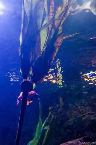
Kelp Orford Reef Passages of the Deep Oregon Coast Aquarium Newport OregonWe almost missed this exhibit which moves through the depths of the sea.  Didn’t see the sign and had to back track after directions from staff in the main lobby.  Beginning with the Orford Reef which includes a cluster of submerged haystack rock formations with only the tops visible above water.  Beneath the waves, the areas between these rocks form a deep reef of narrow crevasses and swaying forests of bull kelp.  This gas-filled bulb is attached to the seafloor by a stipe that may be 100 feet (30 meters) long.  The float buoys up the plant, keeping the blades near the surface where there’s plenty of sunlight. During the peak growing season, it can grow at a rate of 14 inches per day and provides food and shelter for a diversity of marine life including fish, invertebrates, and marine mammals.

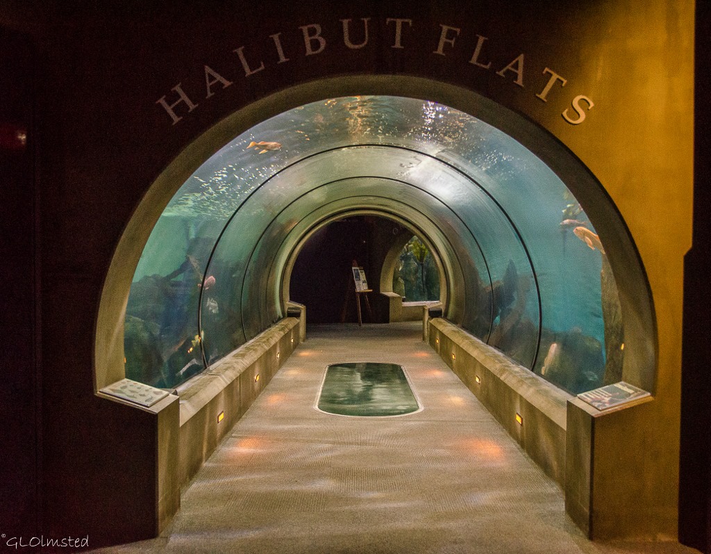
Entrance Halibut Flats Passages of the Deep Oregon Coast Aquarium Newport OregonIn deeper water, Halibut Flats provides ocean life shelter among the sunken skeleton of a long-forgotten ship.

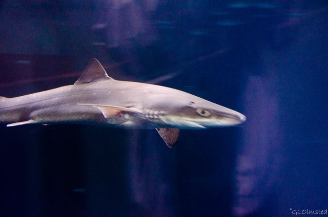
Shark Open Sea Passages of the Deep Oregon Coast Aquarium Newport OregonAnd finally into the Open Sea where species live in the upper strata of water commonly referred to as the Sunlit Zone.

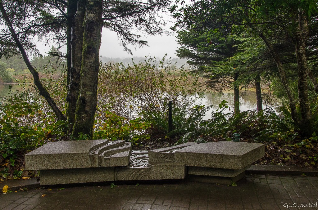
Bench by estuary Oregon Coast Aquarium Newport OregonThis two-hour tour into the sea ended at a second gift shop and a lovely walk along the estuary returned us to the main lobby.  I may have been hesitant at first but am very impressed with the thought that went into all these exhibits set on only 23 acres (9 ha).  It also proved to be a photographic challenge shooting from darks to lights, with reflections and into water.  And although I’m not typically a water-baby, I left with a better connection to the sea.

Education is the key to saving our oceans and all the life within.  Oregon Coast Aquarium offers a living classroom to over 40,000 students a year through outreach, on site labs, exhibits, the web, sleepovers, dive and snorkel experiences.  A perfect location along Yaquina Bay in Newport, Oregon the aquarium guides visitors from mountain to sea.  If you can’t visit right away a virtual experience is available on their aquari-cam.

What natural landscape(s) do you connect best with?

Push my buttons!

  • Click to share on Facebook (Opens in new window) Facebook
  • Click to share on X (Opens in new window) X
  • Click to share on LinkedIn (Opens in new window) LinkedIn

Like this:

Like Loading...
Oregon Oregon Coast Aquarium 25 Comments
03 November 2014

Beach bumming in Bandon

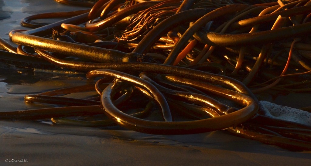
Seaweed Bandon OregonEnjoyed the best weather during two and a half days of beach bumming in Bandon, Oregon.

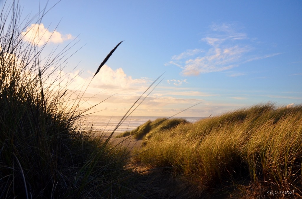
Beach grass Bandon OregonJust a short walk from the hotel through the pines and over the grass covered dunes to the beach.

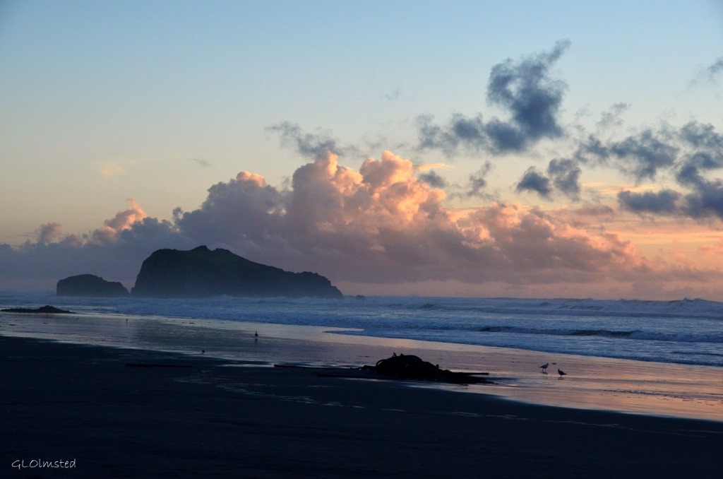
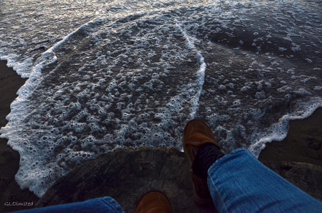
Beach at sunset Bandon OregonI found a stump to sit on and watch the sunset.

High tide around the stump I'm sitting on Bandon OregonWondering if the tide was coming in or going out.  Turned out to be almost high tide so I abandoned by stump.

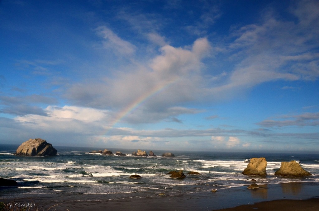
Rainbow at Facerock Bandon OregonGifted by a rainbow at Facerock (far left).

Seagull on Pier pole Coquille R Bandon OregonOld Town Market along the Coquille River offering robust looking fresh organic vegetables and almost still wiggling fish and seafood along with a variety of creative arts and crafts.

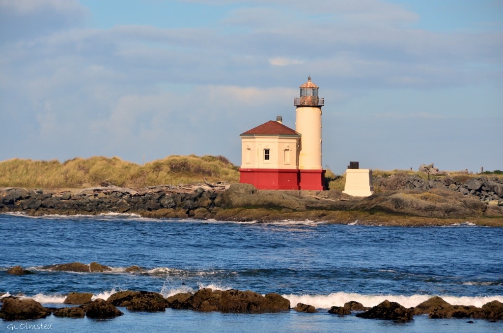
Lighthouse Bandon OregonLighthouse at the mouth of the Coquille River which unfortunately didn’t get to tour.

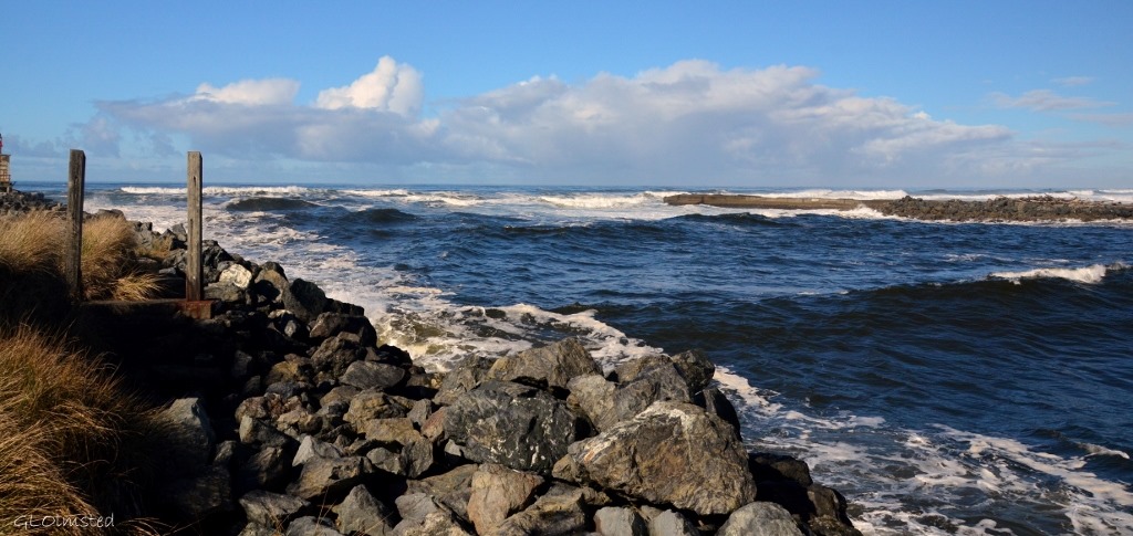
The jetty at Coquille River mouth Bandon OregonWaves rolled high at the jetty.

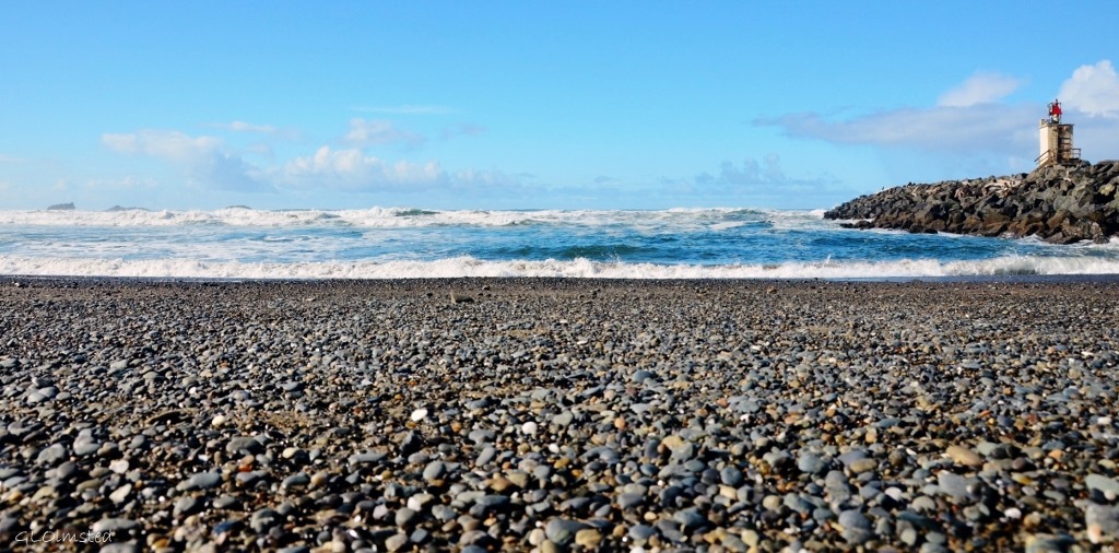
Pebble beach by jetty Bandon OregonWhere I found an agate my first step onto the pebbled beach.

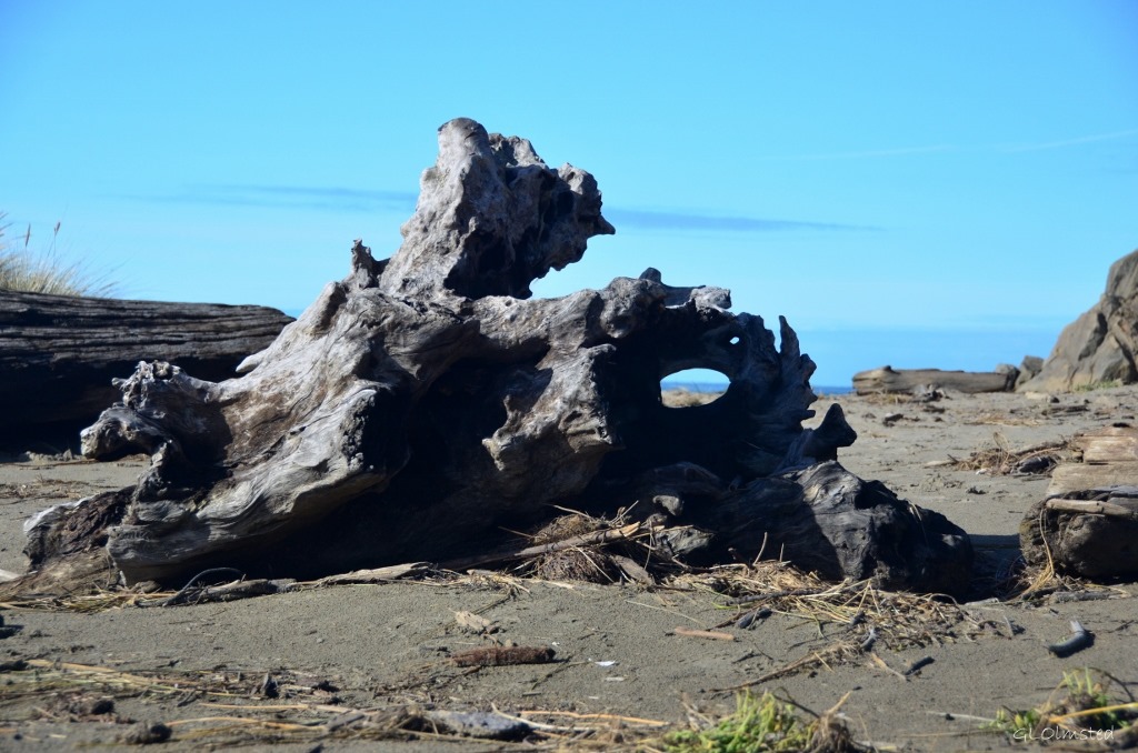
Driftwood Bandon OregonGiant driftwood smoothed by waves, wind and sand forms sculptural furniture.

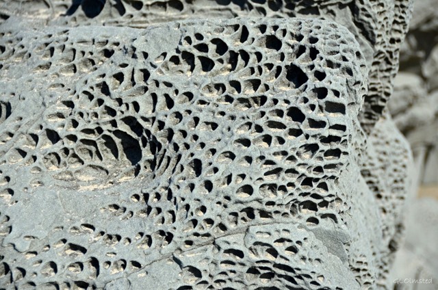
Honeycomb erosion on beach rock Bandon OregonGeologic marvels of honeycomb erosion.

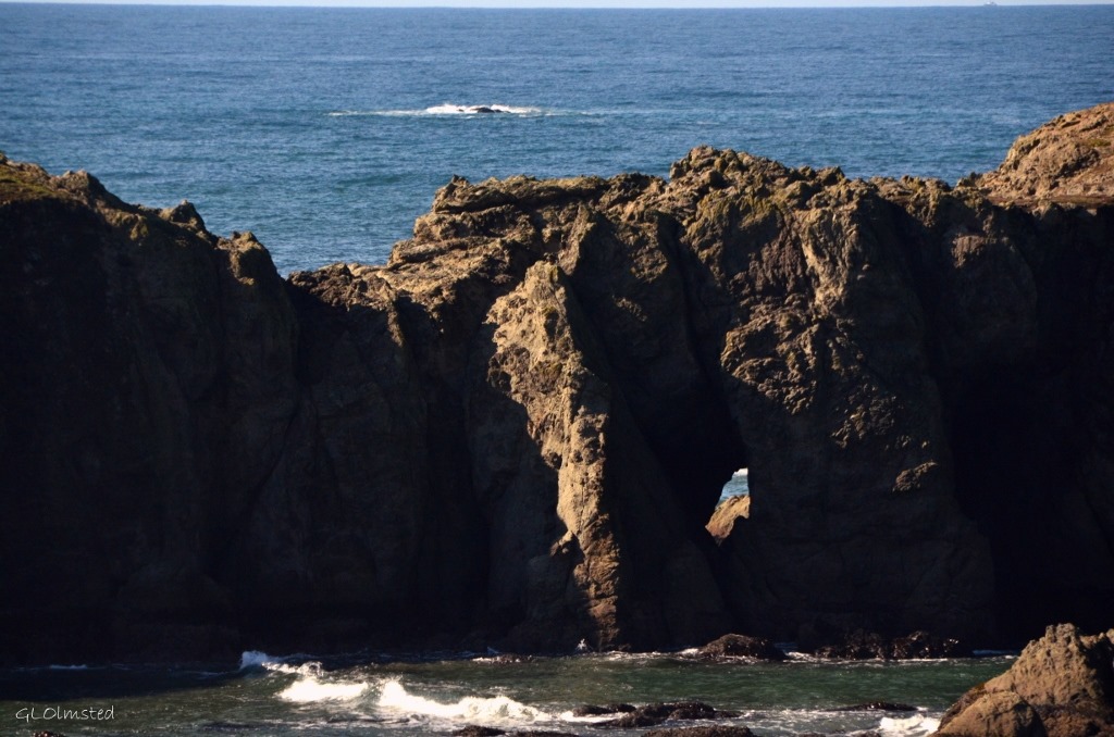
Hole in seastack Bandon OregonHole in rock at Oregon Islands National Wildlife Refuge had caught the corner of my eye in a quick flash a couple times while driving the Beach Loop Road between town and the hotel.

Push my buttons!

  • Click to share on Facebook (Opens in new window) Facebook
  • Click to share on X (Opens in new window) X
  • Click to share on LinkedIn (Opens in new window) LinkedIn

Like this:

Like Loading...
Oregon Bandon, beach 25 Comments
← Older posts

Hi, I’m Gaelyn, the Geogypsy

I retired after 29 summer seasons as a Park Ranger, traveling solo for 40+ years. My passions include travel, connecting to nature, photography, and sharing stories.

I started exploring US National Parks in 1977 and 20 years later became a seasonal Park Ranger.  I’ve lived full-time in a RV for 30 years working summers and playing winters.  I’m still trying to figure out what I want to be when I grow old, other than grow up.

Let’s share our stories.  Here’s more of mine…

My wheeleastate

I am currently…

…boondocking somewhere in southern Arizona.  In the area, give a shout.

Geogypsytraveler on YouTube

Follow my journey on YouTube. Just click the pic. Hope you’ll like, share, and subscribe.

Click image for 7 minute documentary (Password “geogypsy” lowercase)

Making the Gypsy documentary is a story of its own.  Click below for the rest of the story.

Living nomadically & connecting to nature documentary

Subscribe to Blog via Email

Enter your email address to subscribe to this blog and receive notifications of new posts by email.

Photos available for sale include prints, greeting cards, coffee mugs, tote bags, phone cases and more

Reflected Wave 24X16 metal print under $100

Custom Coffee Mugs

Many items to choose from including prints

The Last Blast 24 x 16″ metal print under $100

Need a signal boost? When I boondock on public lands sometimes signal is weak or intermittent and a booster helps. Click the pic to visit WeBoost.

Connecting to nature and the rest of the world too.

Please contact me for photo purchases not seen at GLOlmsted Photography

Order fulfillment is by Fine Art America. If you’re not happy with your purchase, for any reason, simply return it within 30 days, and you’ll receive a full refund of the purchase price.

Why read Geogypsy?

The gypsy life spring-summer 1998 - "You were a real pioneer. RV'ing before it was cool." ...Yogi

How do you process photos? - “Your photographs create an Emotional feeling in the viewer...that they become One with You.” …Cindy

Life’s transitions between travel and work play - "I know you love your job as much as you love travel -- it shines through all your posts." ...Sallie

Lions at Kruger National Park - “Wonderful post, thank you. I was hooked start to finish!” … Peter B

11 lessons looking back 2013 - “A great post -- made me think, made me smile, made me want to cry." ...Sallie

Wildlife video Kruger National Park - “Gorgeous, this makes me want to go straight to South Africa now.” … Ayngelina

Living nomadically & connecting to nature documentary - “What an experience you had and gave to the "crew." Sometimes I think you don't realize how unique and inspiring you are.” …Alan

Search

Popular Posts

1. Prioritize the well-being of nature over photography. 2. Educate yourself about the places you photograph. 3. Reflect on the possible impact of your actions. 4. Use discretion if sharing locations. 5. Know and follow rules and regulations. 6. Always follow Leave No Trace principles and strive to leave places better than you found them. 7. Actively promote and educate others about these principles

Categories

Archives

Sites I follow, read & recommend

  • A Full-time Life
  • A Yankee in Belgrade
  • Bob's Eyes
  • Box Canyon Blog
  • Camels and Chocolate
  • Dawns bloggy blog
  • In the Direction of Our Dreams
  • Jane in her infinite wisdom
  • Janie and Steve, Utah Trails
  • Kathie's Birds
  • Las Adventuras
  • Memorable Meanders
  • Oh, The Places They Go
  • On the Road Abode
  • Port Elizabeth Daily Photo
  • Stillhowlyntravels
  • Take to the Highway
  • Technomadia
  • the good luck Duck
  • Travel with the Bayfield Bunch
  • Wandering Earl
  • Wheeling It
  • Yogi's Den

Caught in a Slot 9×12 canvas print under $50

If you don’t like what’s going on in your government, contact your Congress

Directory of Senators

Directory of Representatives

Lijit

© Copyright 2008-2024. Geogypsytraveler.com
%d