• Home
  • About Geogypsy
    • Herstory
    • Parks where I’ve worked
  • Places I’ve been
    • United States
      • Arizona
        • Antelope Slot Canyon
        • Casa Grande Ruins National Monument
        • Colossal Cave Mountain Park
        • Flagstaff
        • Glen Canyon National Recreation Area
        • Grand Canyon National Park
          • Grand Canyon National Park North Rim
          • Grand Canyon National Park South Rim
          • Toroweap
        • Havasu Canyon
        • Horseshoe Bend
        • Jerome
        • Kaibab National Forest
        • Lee’s Ferry
        • Meteor Crater
        • Navajo Bridge
        • Oak Creek Canyon
        • Painted Desert
        • Pipe Springs National Monument
        • Prescott
        • Quartzsite
        • Saguaro National Park
        • Sedona
        • Sunset Crater Volcano National Monument
        • Vermilion Cliffs
        • Walnut Canyon National Monument
        • Wupatki National Monument
        • Yarnell
      • California
        • Anzaberrego
        • Bakersfield
        • Death Valley National Park
        • Joshua Tree National Park
        • Redwoods NP
        • Salton Sea
        • Yucca Valley
      • Colorado
        • Mesa Verde National Park
      • Florida
      • Illinois
        • IL River
        • Morton Arboretum
        • Starved Rock State Park
      • Michigan
      • Nevada
      • New Mexico
      • Oregon
        • Crater Lake NP
        • Mt Hood
        • Oregon Caves National Monument
      • Texas
        • Alpine Texas
        • Padre Island
        • Port Isabel
        • Rio Grande Valley
      • Utah
        • Brian’s Head
        • Bryce Canyon National Park
        • Buckskin Gulch
        • Cedar Breaks National Monument
        • Cedar City
        • Coral Pink Sand Dunes State Park
        • Dixie National Forest
        • Grand Staircase Escalante National Monument
        • Johnson Canyon
        • Kanab
    • World Travels
      • Germany
      • Mexico
      • South Africa
  • Tours
  • Photography
  • Work with Me
    • Sponsors
  • Contact
Geogypsy
Menu
  • Home
  • About Geogypsy
    • Herstory
    • Parks where I’ve worked
  • Places I’ve been
    • United States
      • Arizona
        • Antelope Slot Canyon
        • Casa Grande Ruins National Monument
        • Colossal Cave Mountain Park
        • Flagstaff
        • Glen Canyon National Recreation Area
        • Grand Canyon National Park
          • Grand Canyon National Park North Rim
          • Grand Canyon National Park South Rim
          • Toroweap
        • Havasu Canyon
        • Horseshoe Bend
        • Jerome
        • Kaibab National Forest
        • Lee’s Ferry
        • Meteor Crater
        • Navajo Bridge
        • Oak Creek Canyon
        • Painted Desert
        • Pipe Springs National Monument
        • Prescott
        • Quartzsite
        • Saguaro National Park
        • Sedona
        • Sunset Crater Volcano National Monument
        • Vermilion Cliffs
        • Walnut Canyon National Monument
        • Wupatki National Monument
        • Yarnell
      • California
        • Anzaberrego
        • Bakersfield
        • Death Valley National Park
        • Joshua Tree National Park
        • Redwoods NP
        • Salton Sea
        • Yucca Valley
      • Colorado
        • Mesa Verde National Park
      • Florida
      • Illinois
        • IL River
        • Morton Arboretum
        • Starved Rock State Park
      • Michigan
      • Nevada
      • New Mexico
      • Oregon
        • Crater Lake NP
        • Mt Hood
        • Oregon Caves National Monument
      • Texas
        • Alpine Texas
        • Padre Island
        • Port Isabel
        • Rio Grande Valley
      • Utah
        • Brian’s Head
        • Bryce Canyon National Park
        • Buckskin Gulch
        • Cedar Breaks National Monument
        • Cedar City
        • Coral Pink Sand Dunes State Park
        • Dixie National Forest
        • Grand Staircase Escalante National Monument
        • Johnson Canyon
        • Kanab
    • World Travels
      • Germany
      • Mexico
      • South Africa
  • Tours
  • Photography
  • Work with Me
    • Sponsors
  • Contact

Category: Nevada

08 March 2017

Colorful hiking at Valley of Fire State Park

March 1-4, 2017 Valley of Fire
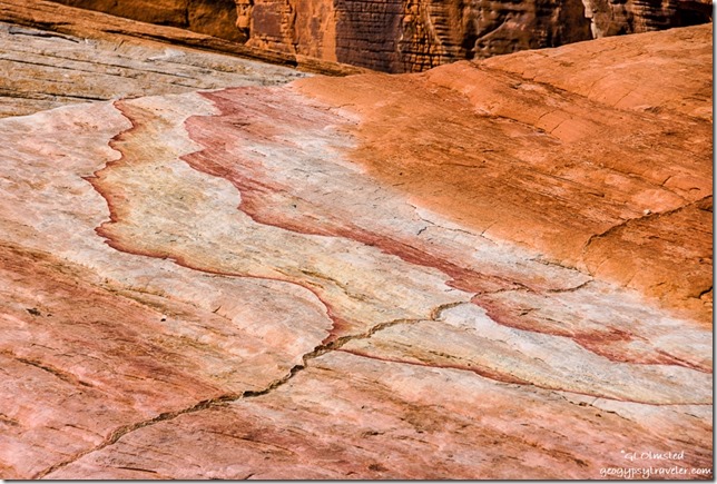
Colorful sandstone White Domes trail Valley of Fire State Park NevadaLike a watercolor left in the rain, the rocks make for colorful hiking at Valley of Fire State Park in Nevada.
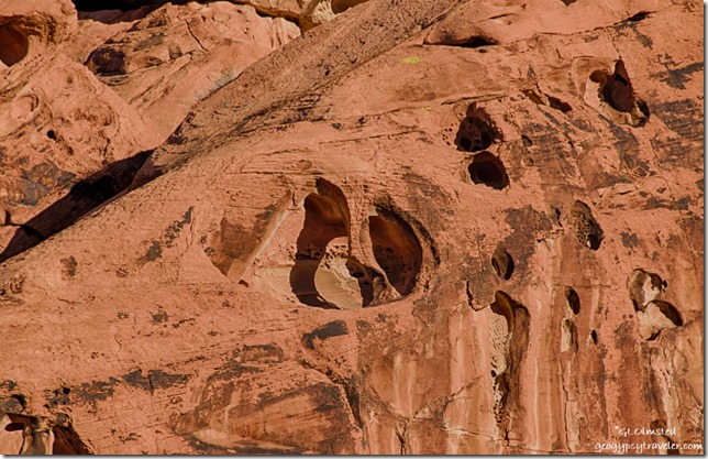
Carved sandstone Arch Rock campground Valley of Fire State Park NevadaSure am glad Sandee arrived early enough to get a campsite as I didn’t pull in until just after sunset and both campgrounds were full, every night we were there.  She tried to save three sites in Arch Rock campground for some friends but a Ranger came by and told her that was illegal.  So we both parked in the one site she’d paid for, my camper and her minivan.  As soon as the sun went down the temperatures followed and we got in the camper where I could make heat and dinner.  Experienced a very cold night, below 40°F so was glad for the extra wool blanket.

Thursday morning we were off early, for me, because of the gained hour in Pacific time.  Went to the visitor center first to get a map and ask if they would let me pay for campsites with credit card, no problem. Check out time 2:30pm also meant no rush.
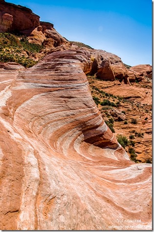
Fire Wave trail Valley of Fire State Park Nevada

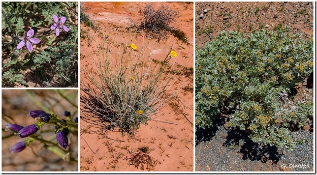
Flowers Valley of Fire State Park Nevada

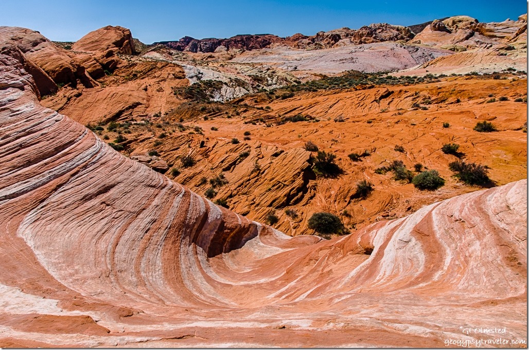
Fire Wave Valley of Fire State Park NevadaOff we went hiking to the Fire Wave and although it is a beautiful feature we spent way more time on our lollygag walk than at the actual Fire Wave.  Some plants are starting to bloom, Mormon tea, brittlebush, and several I don’t know.  Plus so much awesome rock, shades of red sandstone, limestone, green-gray shale, and conglomerates often with a coating of desert varnish.  Sandee says she enjoys our walks because she learns so much about the geology.  The 1.2 mile hike turned into about 3 miles as we wandered about 2-3 hours.


Big horned sheep Valley of Fire State Park Nevada

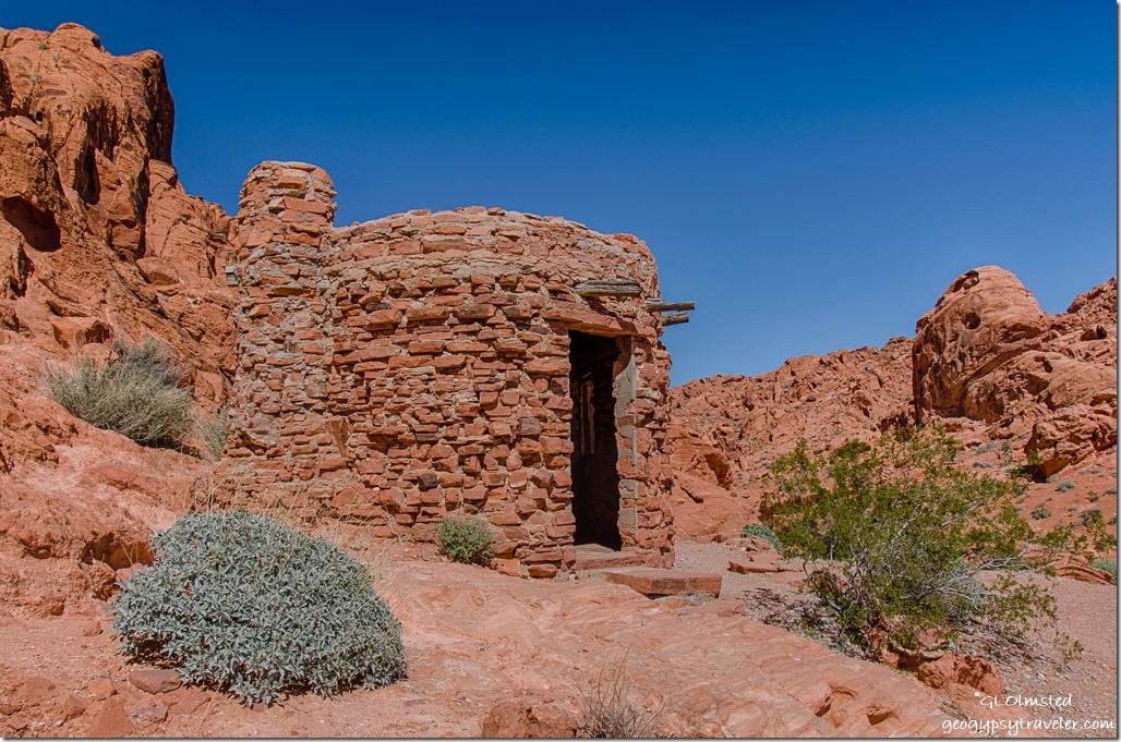
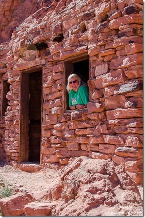
The Cabins Valley of Fire State Park Nevada

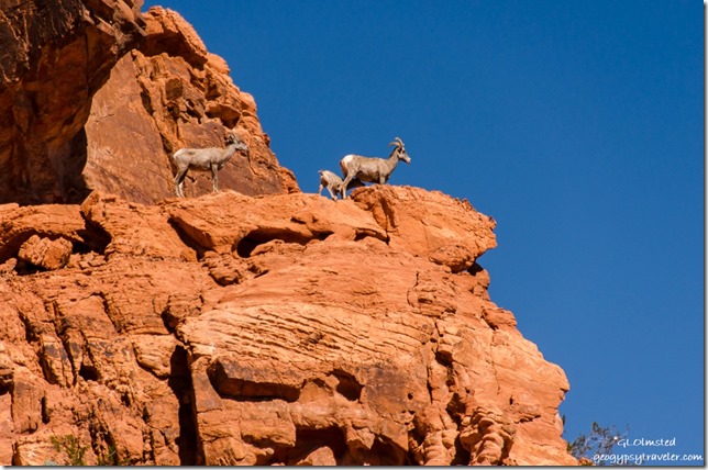
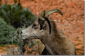
Sandee The Cabins Valley of Fire State Park NevadaSure sign of something good to see when several vehicles are parked both on and off the road.  Sure enough, we saw big horned sheep high up on the rocks just above the road on the way to see The Cabins.


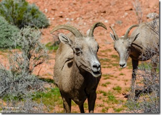
Big horned sheep Valley of Fire State Park NevadaBig horned sheep Valley of Fire State Park Nevada

Then saw them much closer to the road on the way back to camp in the same area.

A fenced off chunk of petrified log.  Poor Sandee was not feeling well, coming down with a cold.  So after we had lunch back at camp, and said hello to Nina, we drove the 25 miles to Overton for some cold medications.
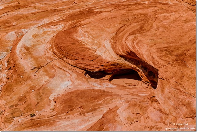
Fire Wave trail Valley of Fire State Park NevadaI’m bummed about the less than tack sharpness of most of the photos, and of course only sharing what I consider “the best” yet out of 130 photos the first day only 23 where rated with one star out of five.  So many seem totally out of focus.  That’s only about 6% success.  Is it me or the camera?  Valley of Fire sure would be a great place to take a photography workshop if I could afford it.
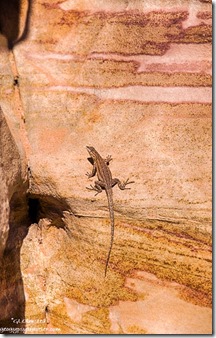
Lizard colorful sandstone Prospect trail Valley of Fire State Park NevadaFriday morning Sandee and I went looking for Arch Rock just down the road from camp.  We wandered into an alcove of rocks squinting into the morning sun searching for the arch with no luck.  Finally gave up and discovered it’s actually right along the road even though the park’s map clearly shows a trail.  And I didn’t even take a photo of it.


Petroglyphs by Atalatal Rock Valley of Fire State Park Nevada

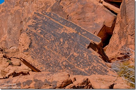
Then we went around the corner, of a huge rock formation, and wandered next to the cliff face finding many petroglyphs pecked into the varnish up to 2300 years ago.  I wandered a little farther than Sandee who still not feeling well returned to sit on a picnic table in the shade.  When she walked away she left her phone behind which she quickly discovered when we returned to camp.  Definitely a moment of panic as she was leaving the park to return to Mesa.  She drove back to the table, then to the visitor center.  When I got into the camper I saw she’d left her boots behind.  So I hurried to the visitor center hoping to catch her there.  Sure enough, someone had picked up her phone and given it to a Ranger who was bringing it to the visitor center.  So off she went with all her stuff, but still not feeling up to snuff.
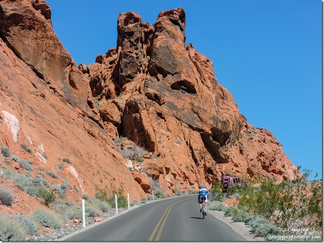
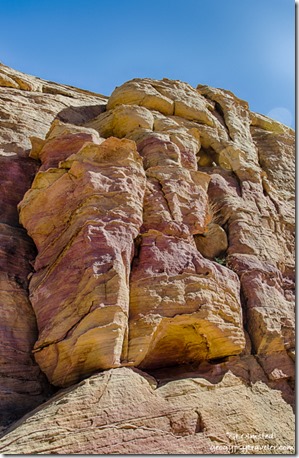
Bicycle Pink Jeep White Domes Road Valley of Fire State Park NevadaFrom there I drove to the end of the White Domes scenic road, delightfully narrow, twisty, and rolling through mounds, and past walls of sun warm colors, burnt oranges, dusty whites, soft pastel yellows, pinks, and lavenders.  I love twisty roads until I come around a blind curve and discover a staunchly peddling bicyclist.  No shoulder.  No way to pass.  No offense to those who bike but it seems especially dangerous on this type of road.

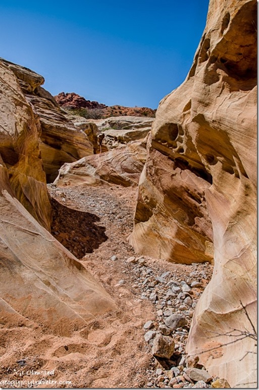
Colorful sandstone White Domes trail Valley of Fire State Park NevadaSlot canyon White Domes trail Valley of Fire State Park Nevada

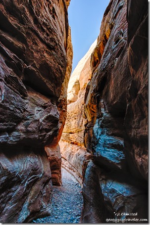
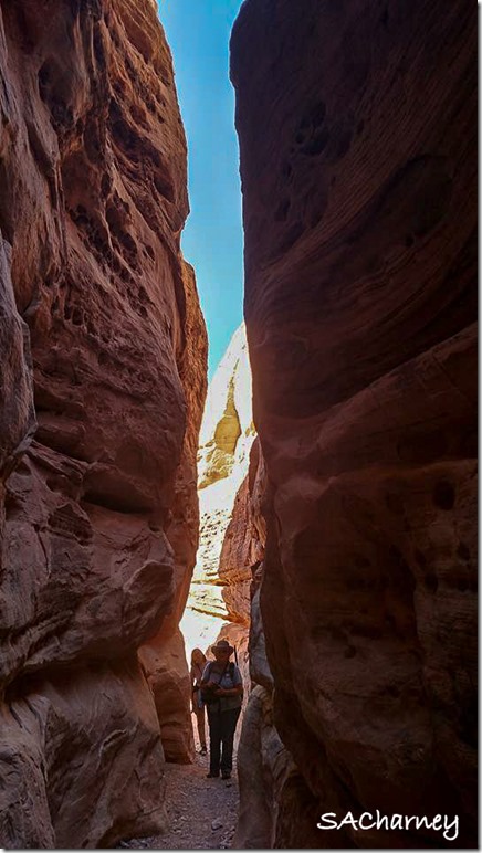
I started the White Dome loop trail counterclockwise, backwards of most hikers, to avoid slugging through the deep soft sand then only went a little ways to the Prospect trail.  Opposite that trail junction a short slot canyon offered a cool reprieve from the mid-day sun where I chatted with a photographer carrying a tripod and two cameras.  Roman is from the east coast but comes west often and we knew some of the same photographers.  I noticed someone had scratched a tic-tac-toe on the graceful canyon walls and took a hand-sized piece of sandstone to wipe it off.  I will never understand this mentality of desecrating the beauty one comes to see.
Colorful sandstone Prospect trail Valley of Fire State Park Nevada

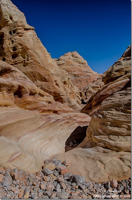
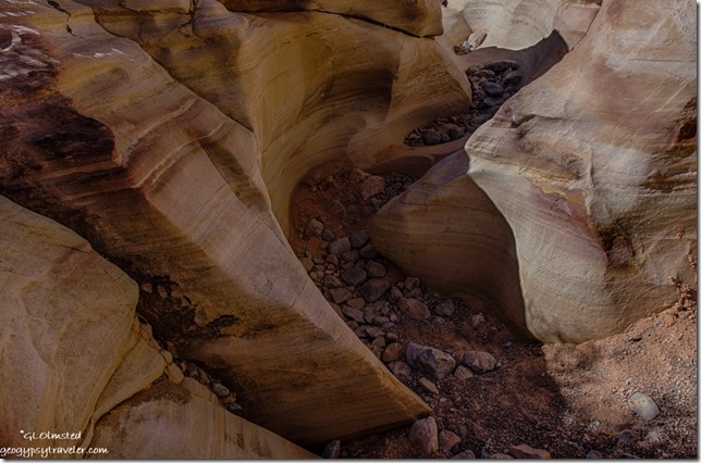
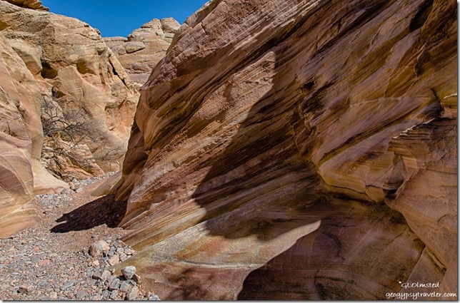
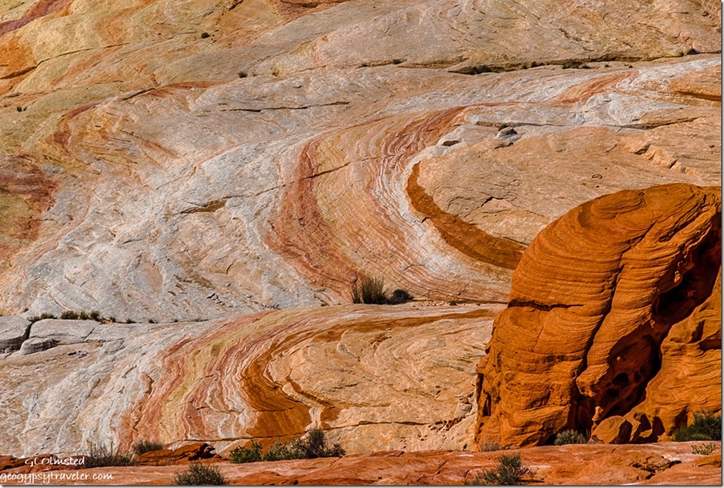
Colorful sandstone Prospect trail Valley of Fire State Park NevadaThen I wandered into the sinuous curves of the less traveled Prospect trail captivated by the swirling layers of colors.
Colorful sandstone Prospect trail Valley of Fire State Park Nevada

Colorful sandstone Prospect trail Valley of Fire State Park NevadaI didn’t make it far or fast and after about an hour Nina’s group of hikers showed up and I walked back out with them.
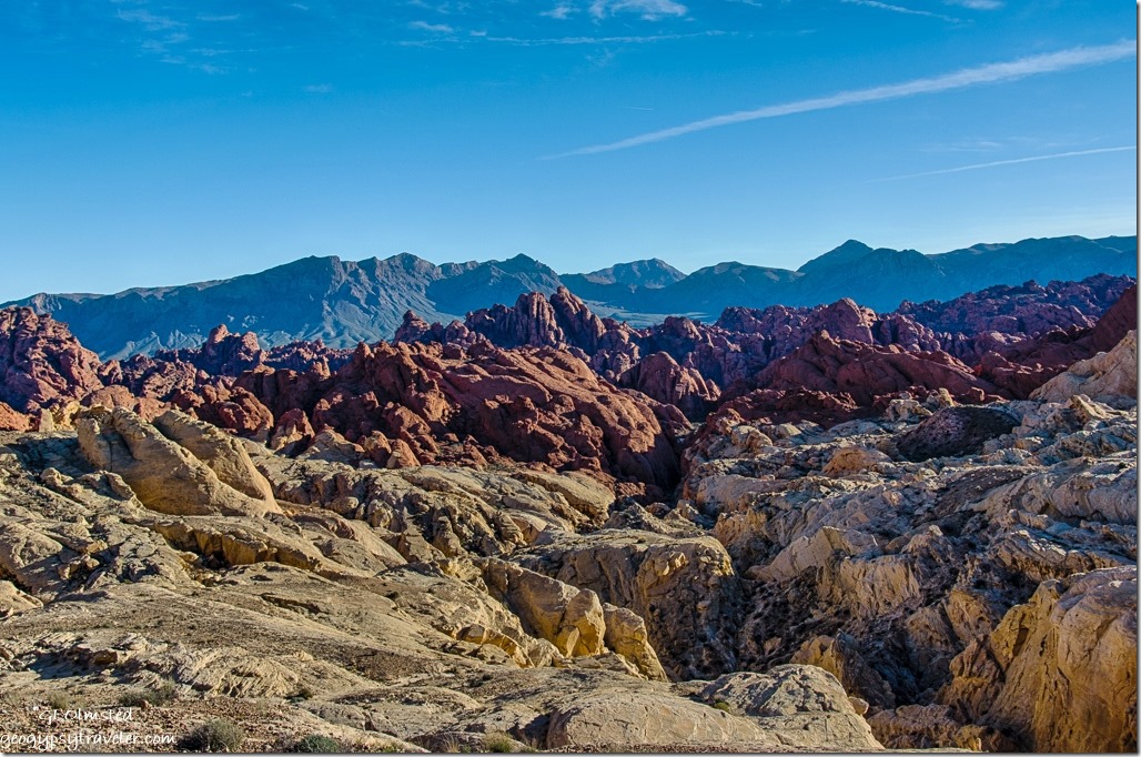
Fire Canyon Valley of Fire State Park NevadaNext I drove out the Fire Canyon Road and at the end discovered a signal so tried to catch up a little online.

Gaelyn & Nina slot canyon Valley of Fire State Park Nevada by Sacha Ann CharneyGaelyn & Nina

Then back to camp before sunset when the road is closed and Nina invited me over for taco dinner along with her friend Sacha who had worked with her at Yellowstone for a couple of seasons and is now at the South Rim Grand Canyon.  It’s a small National Park Service world.

Saturday was my last day in the park and not an early start.  I helped Nina with her first RV, a vintage 1972 trailer.  I showed her how to light the fridge and the oven pilot.  We chatted and soon it was after noon and I had decided not to pay for another night but instead head to Quartzsite for a solar repair.  That’s another story.  But instead I discovered a desperate need for propane so drove the 20 miles north to Overton where I couldn’t get propane then another 25 miles, north mind you, to Glendale.  On the way back south of Overton the winds increased from the southeast so I stopped at Snowbird Mesa to boondock for the night.  Thought I’d be blown further north with 30 mph gusts rocking the rig all night.

Camping in Valley of Fire – get there early as campgrounds fill quickly

Half the 44 camp sites in Atalatal Rock campground have water and electric the other half are semi-primitive.  This campground offers showers and modern restrooms.  Arch Rock campground offers 29 more primitive campsites and pit toilets.  Most of the sites are just big enough for two standard sized vehicles yet I saw some up to probably 35 foot RVs crammed in even there.  No cell signal at all in camp however a weak signal worked at the visitor center and better popped up while driving around.
Fire Wave Valley of Fire State Park NevadaHiking in Valley of Fire – the easy trails

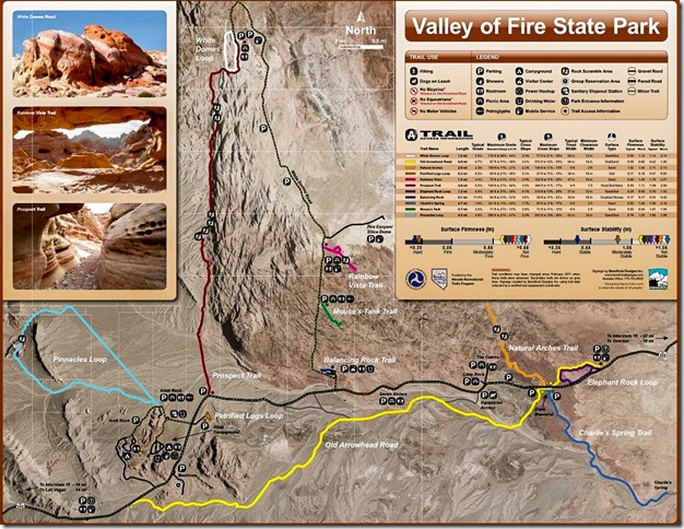
The petroglyphs at Atalatal Rock are almost within sight of the parking lot.  Several short easy trails lead through spectacular contoured sandstone canyons.  Mouse’s Tank .75 mile round trip trail passes canyon walls covered with petroglyphs.  Elephant Rock trail’s 1.2 mile loop speaks for itself.  White Domes 1.25 mile loop includes sand dunes and slot canyons.  The .6 mile trail to Fire Wave passes shale and conglomerates on the way to the sandstone swirls.

Valley of Fire State Park trail map

There is a $10 entrance fee for day use which is included in camp fees.  I highly recommend downloading the map from Valley of Fire’s website as the one handed out isn’t very good.

 

Save

Push my buttons!

  • Facebook
  • Twitter
  • LinkedIn

Like this:

Like Loading...
National Parks and Monuments, Nevada, Valley of Fire State Park arches, camping, flowers, hiking, sandstone 14 Comments
06 March 2017

Driving to Valley of Fire State Park

March 1, 2017

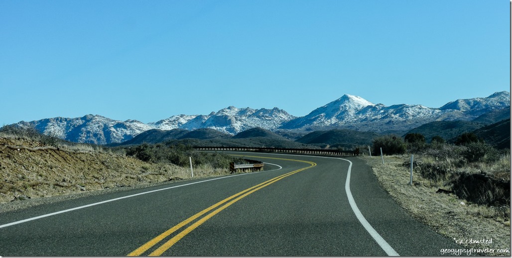
Snow Bradshaw Mountains Iron Springs Road ArizonaThis, is why I wanted back to the desert so it was totally worth the five hour (long to me) drive to Valley of Fire State Park, Nevada.  Why there?  Well, Nina, a fellow Ranger who I hadn’t met yet would be there and it’s a gorgeous place.  Plus Sandee was only an hour away in Las Vegas after a marathon and had never been to Valley of Fire so I convinced her to join us.  That didn’t take much.  And she was the first one there to claim our campsites.  Seems this has been a winter full of meeting up with old and new friends.

When I left Kirkland around 9:30am the Bradshaw Mountains were dusted with white on the way to Prescott for supplies.  A thirty minute drive and two and half hours shopping.  Why does it always take me so long?  I only went to three stores.

From Prescott, State Route 89 north of Chino Valley tosses the truck up and down like a roller coaster which means slowing down way below the 65mph speed limit so the camper doesn’t break.  Next, I couldn’t wait to get off I40 west from Ashfork.  I don’t particularly like to travel interstates on the best of days, but this stretch of freeway is in terrible condition with huge chuck holes that would swallow a VW.  Seems a lot of our highways are going to pot(holes).

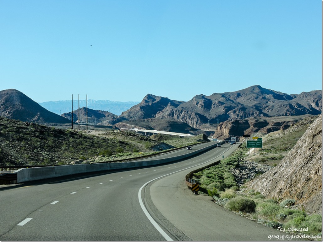
Hoover Dam bridge SR93 ArizonaAt Kingman I was relieved to turn north on US93 even with its cracked and flaky surface.  Thought I was going to drive over the Hoover Dam with its beautiful Art Deco architecture but instead was whisked over what I believe is the newer high bridge.  Been a while since I passed this way.  Did see a sign to the dam but figured I didn’t have time.

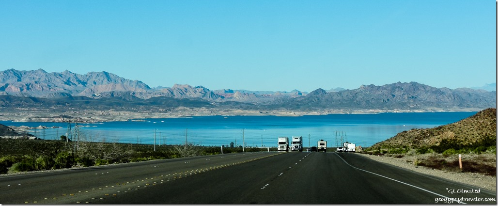
Lake Mead SR93 East Boulder City NevadaDrove a few miles past my turn off to Boulder City and fueled up as it’s pretty remote at Valley of Fire.  As I drove back to Lakeshore Drive/UT167 I saw my first real view of the puddle called Lake Mead.  The light color on the far shore should be under water.

DSCN0841 Lake Mead Lakeshore Drive Lake Mead National Recreation Area Nevada

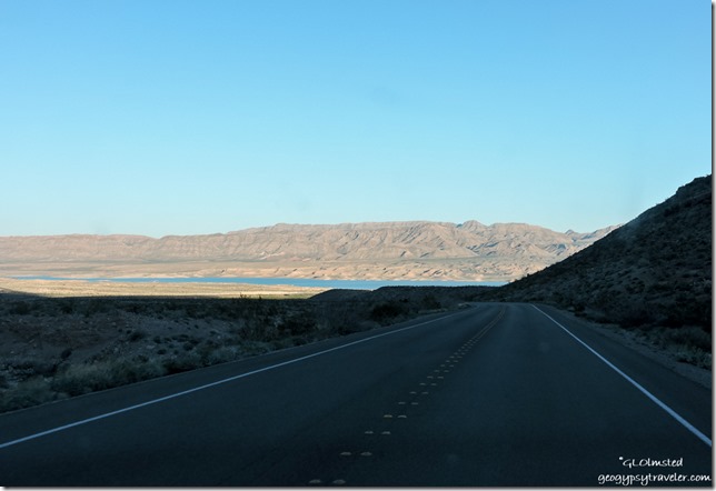
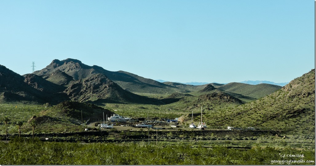
Dry docked Lakeshore Drive Lake Mead National Recreation Area NevadaThe “Lake” is rarely visible from the road being so far from shore.   One hundred forty feet below full pool.  Another idea gone astray.  If these deserts were meant to have lakes they’d have been there naturally.  Other than a distant view, most of the side roads to signed “beaches” aren’t.  Instead they are high and dry along with the numerous boat docks and businesses.  Business has literally dried up.

Lakeshore Drive Lake Mead National Recreation Area Nevada

Folded rock Lakeshore Drive Lake Mead National Recreation Area Nevada

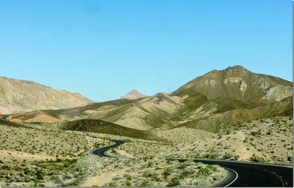
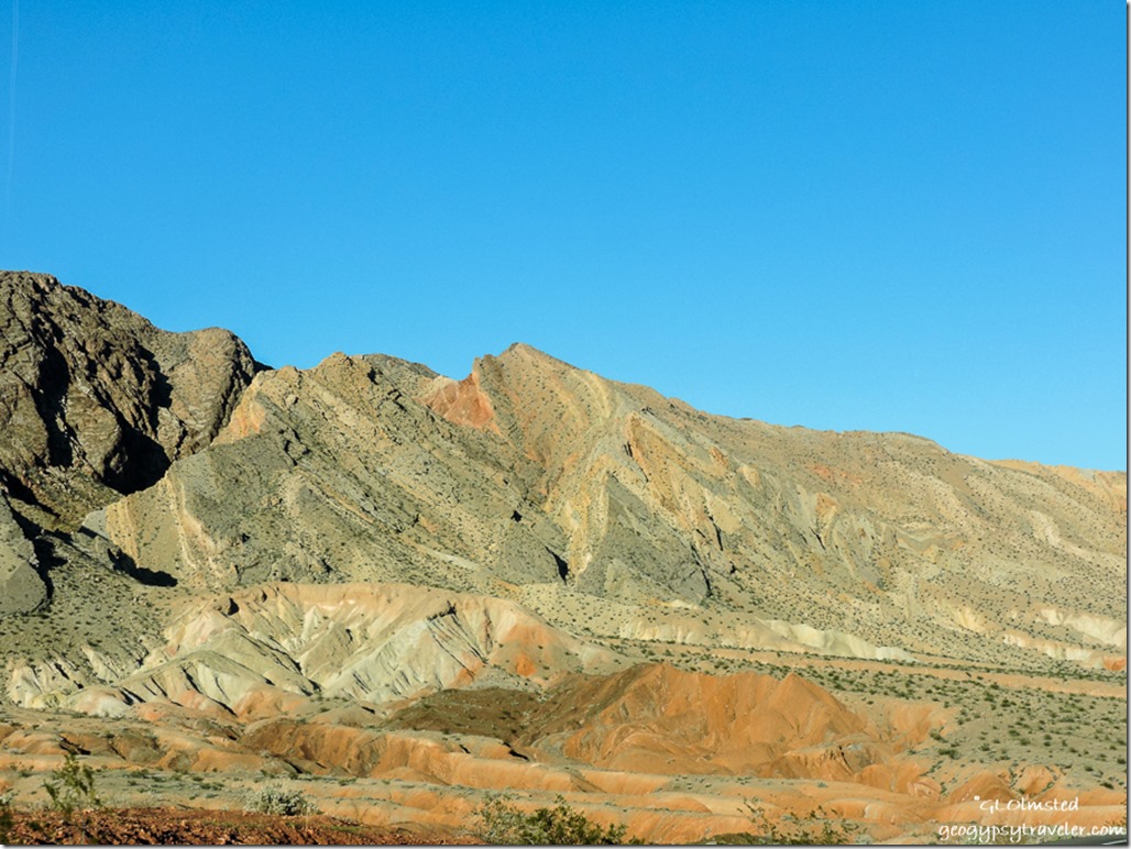
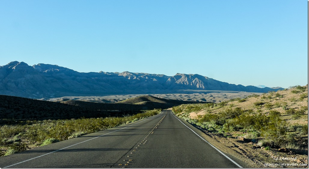
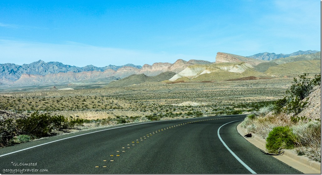
Badlands Lakeshore Drive Lake Mead National Recreation Area NevadaYet the landscape is so geologically diverse.  At first rolling hills dotted with low desert scrub. Then towering cliffs of tilted, folded, and rippled sunset colored sandstone topped by shades of gray weathering limestone.  Suddenly, cresting the top of a steep hill a valley stretches below.

Sunset Valley of Fire State Park NevadaDo you see the face/head profile of an ogre, or is it just me?

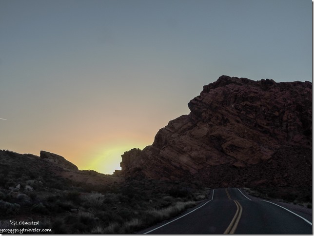
Just before I turned west onto Valley of Fire Highway, and straight into the setting sun, I took advantage of a weak signal and sent a text to Berta letting her know I’d almost arrived.  I discovered during last year’s visit there is very limited phone signal with nothing in the campgrounds.

Although I was arriving a little later than expected I knew from Sandee’s morning text she had saved three campsites.  Didn’t quite turn out that way.

Save

Save

Push my buttons!

  • Facebook
  • Twitter
  • LinkedIn

Like this:

Like Loading...
Arizona, Nevada Lake Mead, mountains, road trip, sandstone, Valley of Fire State Park 12 Comments
19 March 2016

High and dry at Callville Campground, sort of along Lake Mead

February 22, 2015

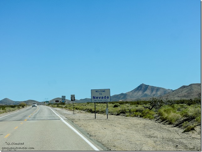
Welcome SR 164 E Nevada

After a couple days exploring Mojave National Preserve we headed east towards home but decided to break up the drive by stopping for the night at Callville Campground, sort of along Lake Mead.

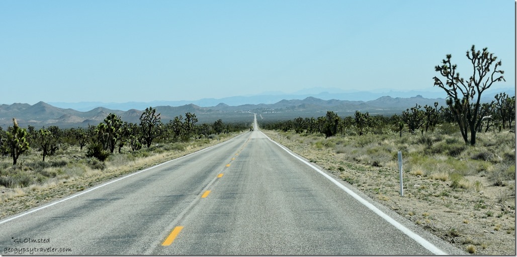
Joshua Trees SR 164 E Nevada

The drive took us through more Joshua Tree forests.

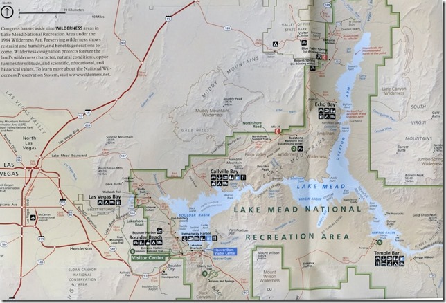
Lake Mead map NPS brochure

The lake is shrinking, a lot.  The Lake Mead National Recreation Area infrastructure was designed to operate optimally at lake levels between 1,180 feet (359.6 m) and 1,220 feet (371.8 m), levels typically seen in the past 30 years.  As of Wednesday, March 16, 2016 the water level was 146.4 feet (44.6 m) below full pool of 1,229.00 (374.5 m).  The National Park Service and concessionaires have spent millions of dollars extending launch ramps and moving marinas to chase the declining water.  Some facilities have been forced to close.

Lake Mead Nevada

These big yet shrinking reservoirs just don’t make sense.  Trying to hold mass amounts of water with a huge surface area that evaporates off what little gets there now anyway.

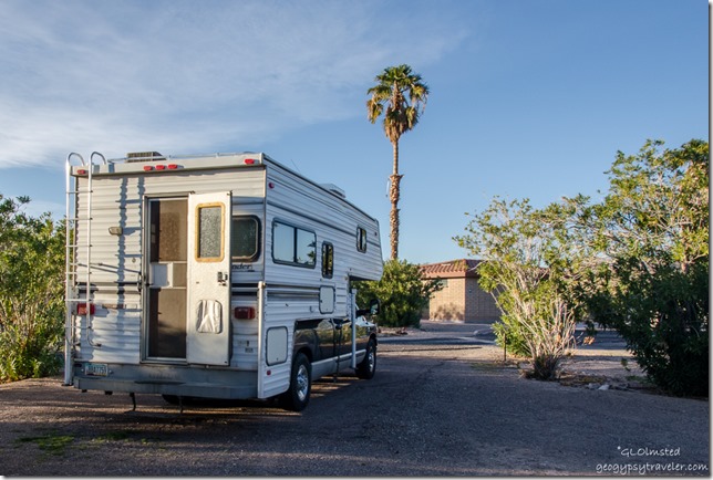
Truck camper Callville campground Lake Mead National Recreation Area Nevada

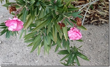
Invasive oleanders Callville campground Lake Mead National Recreation Area Nevada
Invasive Oleander


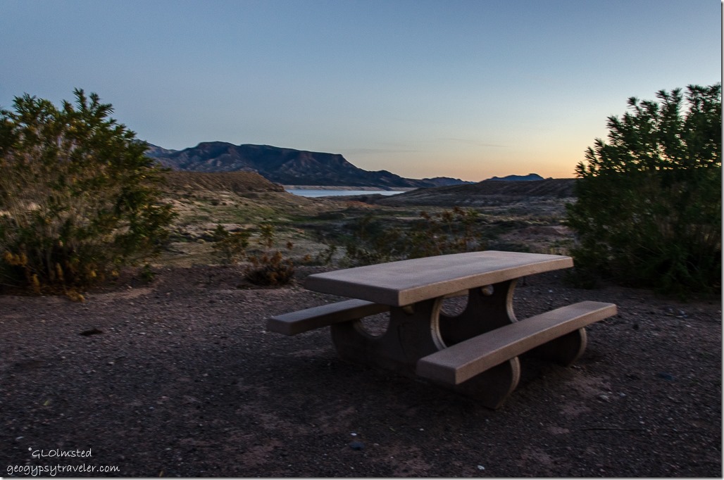
Only a few people in the one open campground loop, dry camp for $20/night, half price with Senior Pass.  The site was level though not very large with picnic table and fire ring.  Bathrooms with running water, stand pipes occasionally, dump station.    Our nearest neighbor three sites over only ran the generator for a couple hours.  Ugh.  Good time to go for a walk.


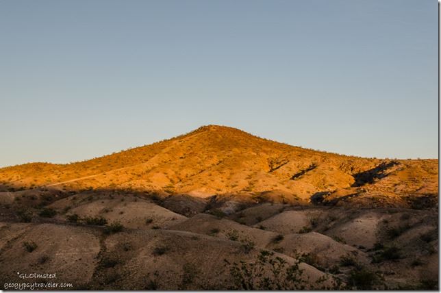
Last light on hill Callville campground Lake Mead National Recreation Area Nevada

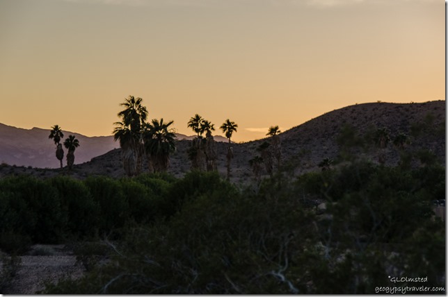
Sunset Callville campground Lake Mead National Recreation Area Nevada

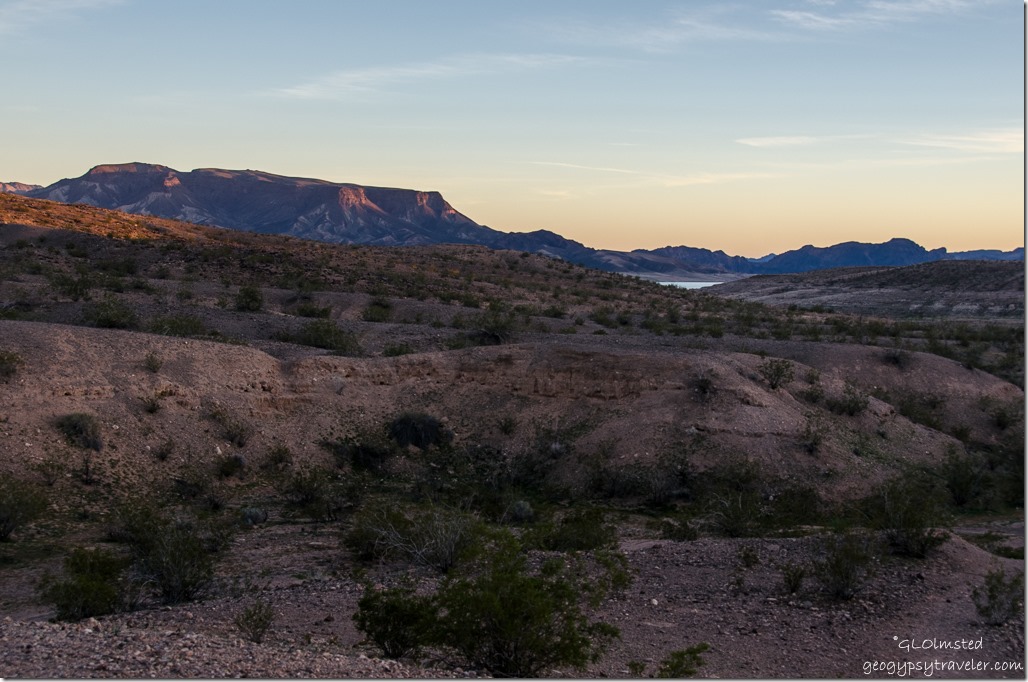
The sun was low causing the surrounding hills to glow and providing a soft backdrop to the out of place looking and invasive palm trees?

Lake Mead Callville campground Lake Mead National Recreation Area Nevada

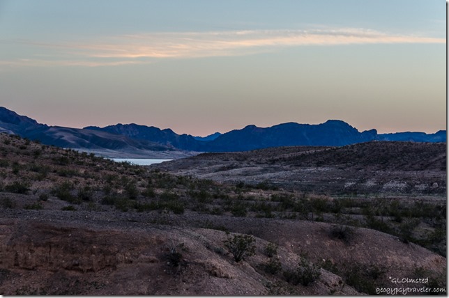
We walked down the closed road towards another campground loop and a tiny view of Lake Mead in the distance.  I’ll bet when the lake was full this place was hopping.

Lake Mead Callville campground Lake Mead National Recreation Area Nevada

Can you see that old water line?  Wonder how low the lake has to be to see what’s left of the original 1864 settlement of Callville, submerged after the completion of Hoover Dam in 1936.

Site 86 Callville campground Lake Mead National Recreation Area Nevada

We picked out a couple favorite camp sites that one time overlooked the lake.  I wondered at the absurdity of camping here in the desert with your ski boat beached nearby.  Now, the place has a rather dead feel and not because of the sparse vegetation.


Vultures in palm Callville campground Lake Mead National Recreation Area Nevada


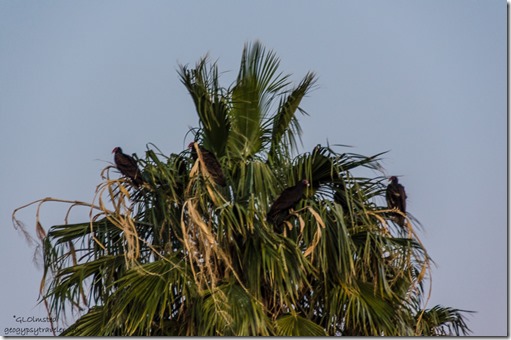
Walking back I saw Vultures roosting in one particular palm.  Might not want to camp under this tree.


Full moon rise Callville campground Lake Mead National Recreation Area Nevada


Watched the full moon rise and went to bed early in preparation for the long drive home the next day.


SR169 N Nevada

Push my buttons!

  • Facebook
  • Twitter
  • LinkedIn

Like this:

Like Loading...
Lake Mead NRA, National Parks and Monuments, Nevada Calville campground, Lake Mead 16 Comments
← Older posts
Newer posts →

Hi, I’m Gaelyn, the Geogypsy

I retired after 29 summer seasons as a Park Ranger, traveling solo for 40+ years. My passions include travel, connecting to nature, photography, and sharing stories.

I started exploring US National Parks in 1977 and 20 years later became a seasonal Park Ranger.  I’ve lived full-time in a RV for 30 years working summers and playing winters.  I’m still trying to figure out what I want to be when I grow old, other than grow up.

Let’s share our stories.  Here’s more of mine…

My wheeleastate

I am currently…

…boondocking somewhere in southern Arizona.  In the area, give a shout.

Geogypsytraveler on YouTube

Follow my journey on YouTube. Just click the pic. Hope you’ll like, share, and subscribe.

Click image for 7 minute documentary (Password “geogypsy” lowercase)

Making the Gypsy documentary is a story of its own.  Click below for the rest of the story.

Living nomadically & connecting to nature documentary

Subscribe to Blog via Email

Enter your email address to subscribe to this blog and receive notifications of new posts by email.

Photos available for sale include prints, greeting cards, coffee mugs, tote bags, phone cases and more

Reflected Wave 24X16 metal print under $100

Custom Coffee Mugs

Many items to choose from including prints

The Last Blast 24 x 16″ metal print under $100

Need a signal boost? When I boondock on public lands sometimes signal is weak or intermittent and a booster helps. Click the pic to visit WeBoost.

Connecting to nature and the rest of the world too.

Please contact me for photo purchases not seen at GLOlmsted Photography

Order fulfillment is by Fine Art America. If you’re not happy with your purchase, for any reason, simply return it within 30 days, and you’ll receive a full refund of the purchase price.

Why read Geogypsy?

The gypsy life spring-summer 1998 - "You were a real pioneer. RV'ing before it was cool." ...Yogi

How do you process photos? - “Your photographs create an Emotional feeling in the viewer...that they become One with You.” …Cindy

Life’s transitions between travel and work play - "I know you love your job as much as you love travel -- it shines through all your posts." ...Sallie

Lions at Kruger National Park - “Wonderful post, thank you. I was hooked start to finish!” … Peter B

11 lessons looking back 2013 - “A great post -- made me think, made me smile, made me want to cry." ...Sallie

Wildlife video Kruger National Park - “Gorgeous, this makes me want to go straight to South Africa now.” … Ayngelina

Living nomadically & connecting to nature documentary - “What an experience you had and gave to the "crew." Sometimes I think you don't realize how unique and inspiring you are.” …Alan

Search

Popular Posts

1. Prioritize the well-being of nature over photography. 2. Educate yourself about the places you photograph. 3. Reflect on the possible impact of your actions. 4. Use discretion if sharing locations. 5. Know and follow rules and regulations. 6. Always follow Leave No Trace principles and strive to leave places better than you found them. 7. Actively promote and educate others about these principles

Categories

Archives

Sites I follow, read & recommend

  • A Full-time Life
  • A Yankee in Belgrade
  • Bob's Eyes
  • Box Canyon Blog
  • Camels and Chocolate
  • Dawns bloggy blog
  • In the Direction of Our Dreams
  • Jane in her infinite wisdom
  • Janie and Steve, Utah Trails
  • Kathie's Birds
  • Las Adventuras
  • Memorable Meanders
  • Oh, The Places They Go
  • On the Road Abode
  • Port Elizabeth Daily Photo
  • Stillhowlyntravels
  • Take to the Highway
  • Technomadia
  • the good luck Duck
  • Travel with the Bayfield Bunch
  • Wandering Earl
  • Wheeling It
  • Yogi's Den

Caught in a Slot 9×12 canvas print under $50

If you don’t like what’s going on in your government, contact your Congress

Directory of Senators

Directory of Representatives

Lijit

© Copyright 2008-2024. Geogypsytraveler.com
%d