• Home
  • About Geogypsy
    • Herstory
    • Parks where I’ve worked
  • Places I’ve been
    • United States
      • Arizona
        • Antelope Slot Canyon
        • Casa Grande Ruins National Monument
        • Colossal Cave Mountain Park
        • Flagstaff
        • Glen Canyon National Recreation Area
        • Grand Canyon National Park
          • Grand Canyon National Park North Rim
          • Grand Canyon National Park South Rim
          • Toroweap
        • Havasu Canyon
        • Horseshoe Bend
        • Jerome
        • Kaibab National Forest
        • Lee’s Ferry
        • Meteor Crater
        • Navajo Bridge
        • Oak Creek Canyon
        • Painted Desert
        • Pipe Springs National Monument
        • Prescott
        • Quartzsite
        • Saguaro National Park
        • Sedona
        • Sunset Crater Volcano National Monument
        • Vermilion Cliffs
        • Walnut Canyon National Monument
        • Wupatki National Monument
        • Yarnell
      • California
        • Anzaberrego
        • Bakersfield
        • Death Valley National Park
        • Joshua Tree National Park
        • Redwoods NP
        • Salton Sea
        • Yucca Valley
      • Colorado
        • Mesa Verde National Park
      • Florida
      • Illinois
        • IL River
        • Morton Arboretum
        • Starved Rock State Park
      • Michigan
      • Nevada
      • New Mexico
      • Oregon
        • Crater Lake NP
        • Mt Hood
        • Oregon Caves National Monument
      • Texas
        • Alpine Texas
        • Padre Island
        • Port Isabel
        • Rio Grande Valley
      • Utah
        • Brian’s Head
        • Bryce Canyon National Park
        • Buckskin Gulch
        • Cedar Breaks National Monument
        • Cedar City
        • Coral Pink Sand Dunes State Park
        • Dixie National Forest
        • Grand Staircase Escalante National Monument
        • Johnson Canyon
        • Kanab
    • World Travels
      • Germany
      • Mexico
      • South Africa
  • Tours
  • Photography
  • Work with Me
    • Sponsors
  • Contact
Geogypsy
Menu
  • Home
  • About Geogypsy
    • Herstory
    • Parks where I’ve worked
  • Places I’ve been
    • United States
      • Arizona
        • Antelope Slot Canyon
        • Casa Grande Ruins National Monument
        • Colossal Cave Mountain Park
        • Flagstaff
        • Glen Canyon National Recreation Area
        • Grand Canyon National Park
          • Grand Canyon National Park North Rim
          • Grand Canyon National Park South Rim
          • Toroweap
        • Havasu Canyon
        • Horseshoe Bend
        • Jerome
        • Kaibab National Forest
        • Lee’s Ferry
        • Meteor Crater
        • Navajo Bridge
        • Oak Creek Canyon
        • Painted Desert
        • Pipe Springs National Monument
        • Prescott
        • Quartzsite
        • Saguaro National Park
        • Sedona
        • Sunset Crater Volcano National Monument
        • Vermilion Cliffs
        • Walnut Canyon National Monument
        • Wupatki National Monument
        • Yarnell
      • California
        • Anzaberrego
        • Bakersfield
        • Death Valley National Park
        • Joshua Tree National Park
        • Redwoods NP
        • Salton Sea
        • Yucca Valley
      • Colorado
        • Mesa Verde National Park
      • Florida
      • Illinois
        • IL River
        • Morton Arboretum
        • Starved Rock State Park
      • Michigan
      • Nevada
      • New Mexico
      • Oregon
        • Crater Lake NP
        • Mt Hood
        • Oregon Caves National Monument
      • Texas
        • Alpine Texas
        • Padre Island
        • Port Isabel
        • Rio Grande Valley
      • Utah
        • Brian’s Head
        • Bryce Canyon National Park
        • Buckskin Gulch
        • Cedar Breaks National Monument
        • Cedar City
        • Coral Pink Sand Dunes State Park
        • Dixie National Forest
        • Grand Staircase Escalante National Monument
        • Johnson Canyon
        • Kanab
    • World Travels
      • Germany
      • Mexico
      • South Africa
  • Tours
  • Photography
  • Work with Me
    • Sponsors
  • Contact

Category: Illinois

16 October 2012

Starved Rock State Park

As soon as I was old enough to drive, nearby road trips lead me to hiking in canyons along the Illinois River.  40+ years later I return.  I will always return.  It is my special place.

02 Bluff along Kaskaskia trail Starve Rock State Park IL pano 4 (1024x267)

During my early 20s I introduced several special friends to this magical world of wood, water and rock, during different seasons and personality.

03 Kaskaskia trail Starve Rock State Park IL 1of2 (1024x678)

I figured this would be the least changed place I could visit from my pasts.  And sure enough, except for a now paved parking lot instead of dirt I wasn’t disappointed.  Except there was no flowing water after the dry summer.  I had seen it dry before, flowing sometimes weak or strong, even frozen.

04 Small cavern off Kaskaskia & Ottawa Canyons trail Starve Rock State Park IL (1024x678)

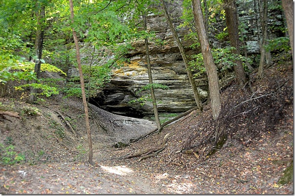
A small shallow cave lies off the left side of the trail as a teaser to what’s ahead.

05 Fall leaves on Kaskaskia & Ottawa Canyons trail Starve Rock State Park IL (1024x678)

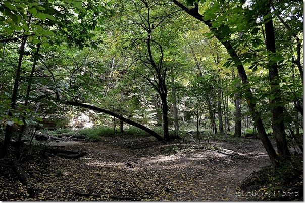
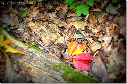
Generations of fallen leaves cushion the trail with a green sun-dappled canopy overhead.

06 Still water downstream from wooden bridge along Kaskaskia & Ottawa Canyons trail Starve Rock State Park IL (678x1024)

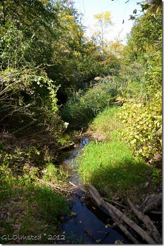
A tiny pool of still water sits in a creek channel almost dry.

07 Council overhang from Kaskaskia & Ottawa Canyons trail Starve Rock State Park IL pano (669x1024)

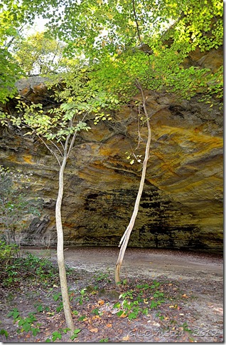
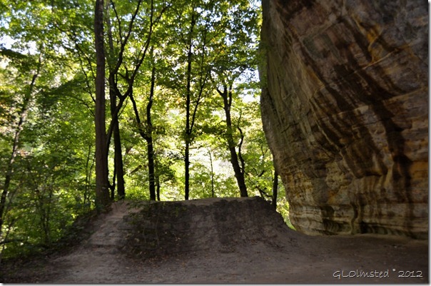
There it is, my special place. Council Cave.

08 Council overhang from Kaskaskia & Ottawa Canyons trail Starve Rock State Park IL (1024x678)

I’ve spent time here in council with myself.  Letting the sun’s energy bath me through the trees.

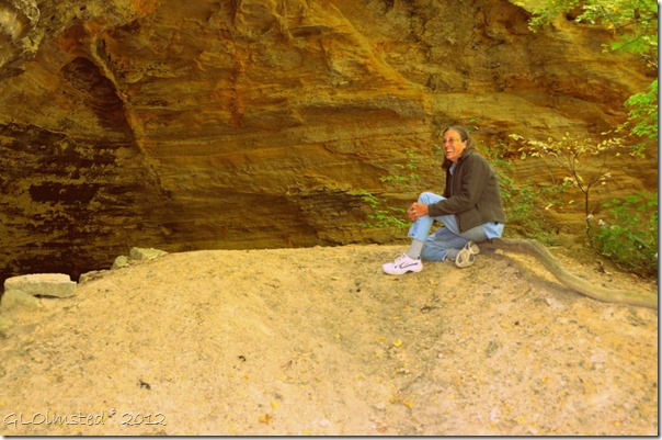
09 Gaelyn at Council overhang from Kaskaskia & Ottawa Canyons trail Starve Rock State Park IL (1024x678)

Thank you kind stranger for taking my photo.

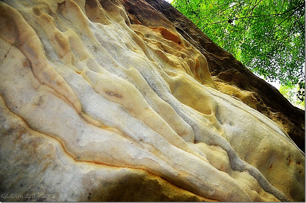
10 Sandstone walls of Council overhang from Kaskaskia & Ottawa Canyons trail Starve Rock State Park IL (1024x678)

Ancient sandstone laid down in a shallow inland sea about 425 million years ago then later carved by a catastrophic flood caused by the breach of a glacial lake has changed very little in my lives.

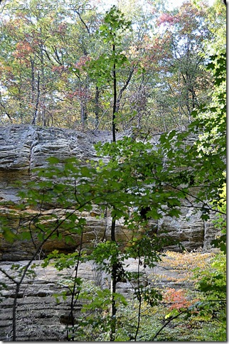
11 Sandstone bluff along Kaskaskia trail Starve Rock State Park IL (678x1024)

I continued on to the split for Ottawa and Kaskaskia canyons, the later being my choice.

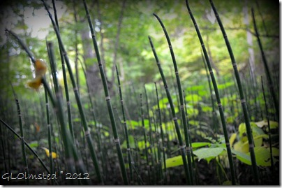
12 Bamboo along Kaskaskia trail Starve Rock State Park IL (1024x678)

Bamboo grows in the moist drainage even without the flow of water.

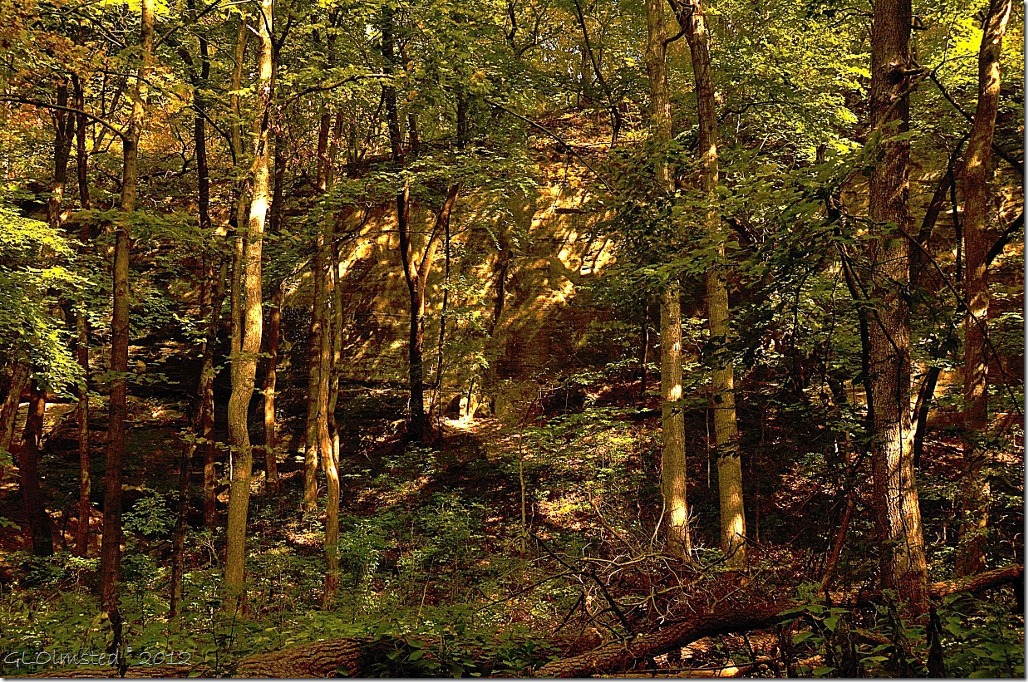
13 Light & shadow along Kaskaskia trail Starve Rock State Park IL (1024x678)

Sunlight speckles the trees and bluffs.  Occasional bird song drifts through the canyon.

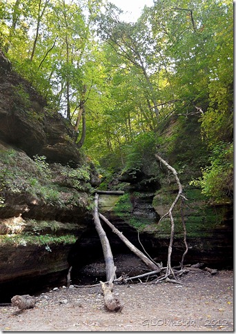
14 Spillway at end of Kaskaskia trail Starve Rock State Park IL pano (721x1024)

I reach the spillway where no water pours to find only a small pool with fish trapped within.  The evidence of water flow is revealed by the large trunks and undercut rock.  I once stood beneath a waterfall here.

15 Fallen leaves along Kaskaskia trail Starve Rock State Park IL (1024x678)

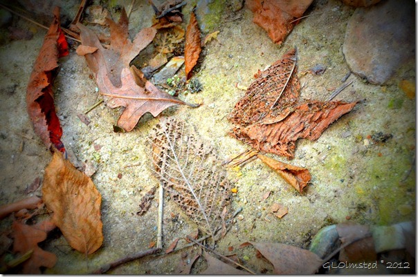
The skeletons of memory lies around me.  Upon my return through the forest I feel at peace.

If you would like to read about a past life at this magical place leave a comment and I will email the necessary link.

Read more about Starved Rock including the story behind its name.

Push my buttons!

  • Click to share on Facebook (Opens in new window) Facebook
  • Click to share on X (Opens in new window) X
  • Click to share on LinkedIn (Opens in new window) LinkedIn

Like this:

Like Loading...
Illinois 25 Comments
16 October 2012

Illinois River Road

01 IL R NW-NE from SR71 W near Ottawa IL pano (1024x559)

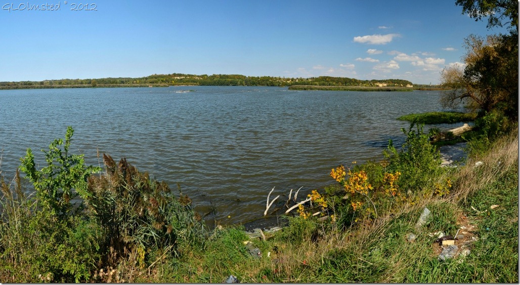
I grew up boating, skiing and camping on the Illinois River.  So when I went back to Illinois for my 40th reunion I headed out for a drive by the river.

02 Illinois River Road map

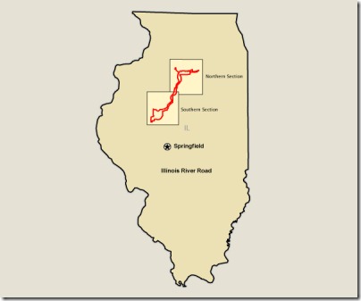
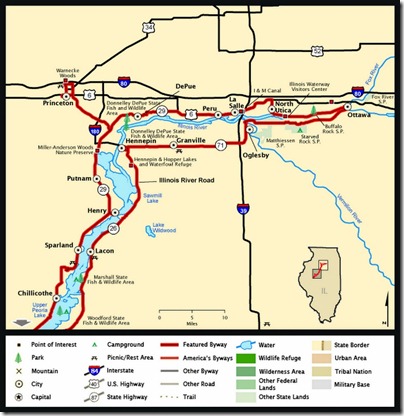
Wish I’d had more time to explore the Illinois River Road, a National Scenic Byway connecting more than 100 nature-based destinations.  The route takes you 291 miles (468.3 km) from Ottawa to Havana through forests, wetlands, bluffs and prairies.  This allows the modern visitor to travel the same route as the early French explorers, les Voyageurs.

03 IL R E towards Ottawa IL (668x1024)

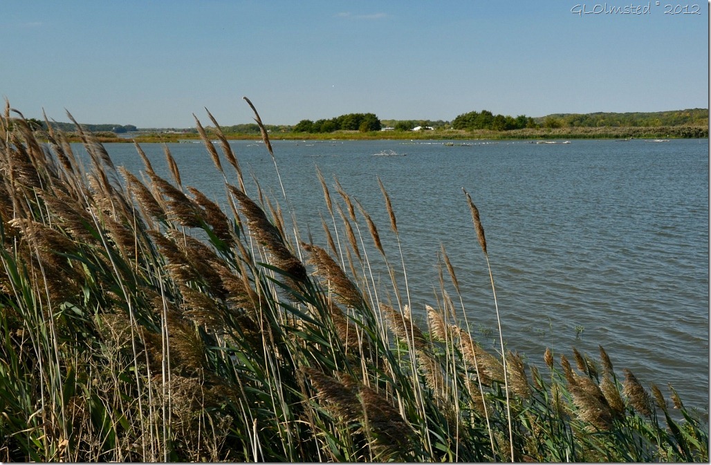
In fact humans have been living along the banks of the Illinois River since the end of the last ice age, when glacial melt water carved out the river valley.  As settlers spread westward rivers became main transportation routes.

04 Birds on IL River SR71 IL (1024x581)

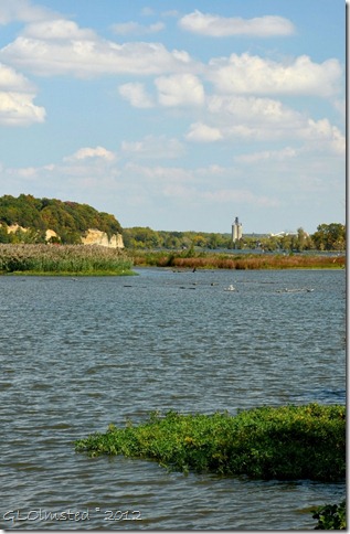
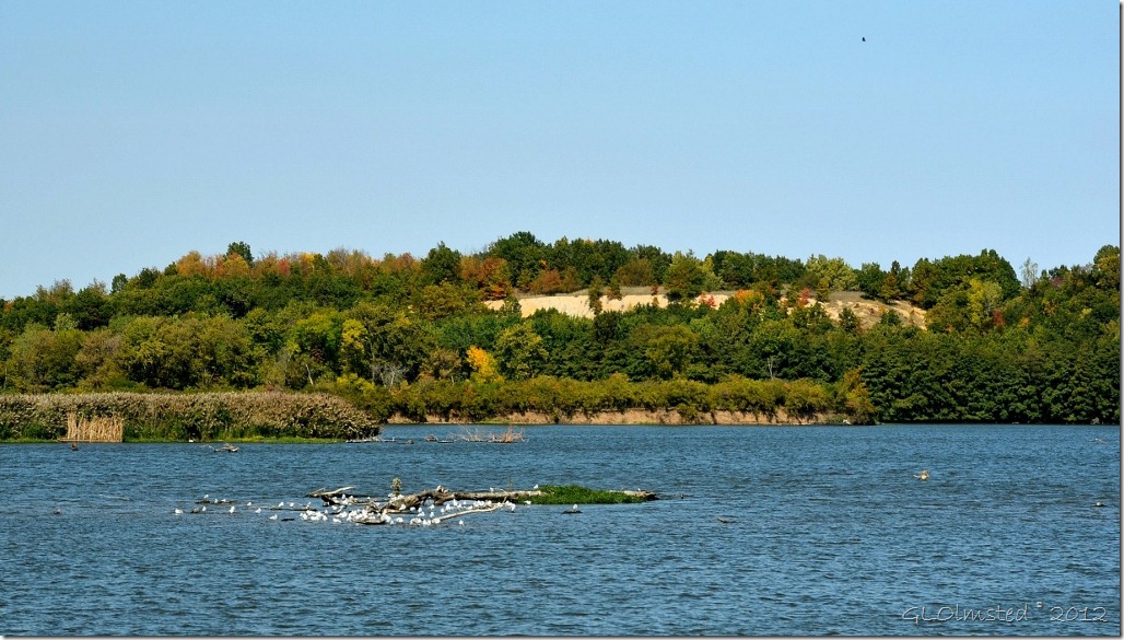
Several species of migrating waterfowl and other wildlife make their home in the wetland and forest habitats along the banks of the Illinois River.  These look mostly like sea gulls, a long ways from the sea.  But I did see what looked like a white-phase Great Blue Heron fly off too fast for a photo.

05 Upper IL River Rd map (994x1024)

I only explored about 10 miles of the northern Illinois River Road from Ottawa to Utica because I was on a mission to hike a special canyon.  The first canyon to capture my younger heart.

06 IL R NW from SR71 IL (1024x669)

Funny, because the first time I visited Grand Canyon, on the North Rim, 35+ years ago I heard that a river had carved that canyon and I didn’t understand why the Illinois River didn’t have a Grand Canyon.  But there are small canyons in Starved Rock Country.

Do you have a special place that calls your spirit?

Push my buttons!

  • Click to share on Facebook (Opens in new window) Facebook
  • Click to share on X (Opens in new window) X
  • Click to share on LinkedIn (Opens in new window) LinkedIn

Like this:

Like Loading...
Illinois, road trip National Scenic Byway 18 Comments
12 October 2012

Finding Illinois farmlands

01 Farm along SR6 near Utica IL (1024x452)

That’s Illinois, with the “s” silent.

02 Farm along I80 W near Ottawa IL (1024x889)

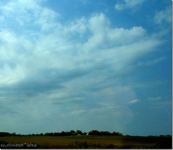
Twenty years ago I could drive west about 15 minutes from the suburbs where I lived finding Illinois farmlands.  Corn fields as far as the horizon.  Now the suburbs extend many miles further west.

03 Corn fields and barn near Ottawa IL from I80 W (1024x387)

03a Farm along I80 W near Ottawa IL (1024x437)

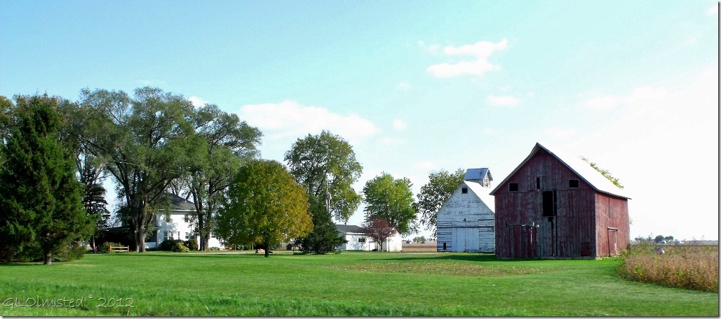
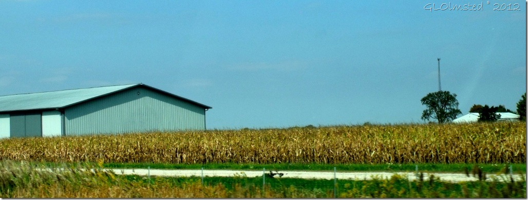
Driving west on Interstate 80 I finally found some farms and barns approaching Ottawa.

04 La Salle County Courthouse Ottawa IL (1024x768)

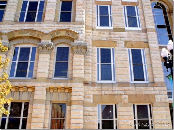
Ottawa hadn’t changed too much from the memories of my younger years.  Tall stately buildings of local quarried sandstone still stand along the main street like the La Salle County Courthouse named for Robert de LaSalle, the French explorer who effected the first white settlements in Illinois and explored the Mississippi to the Gulf.

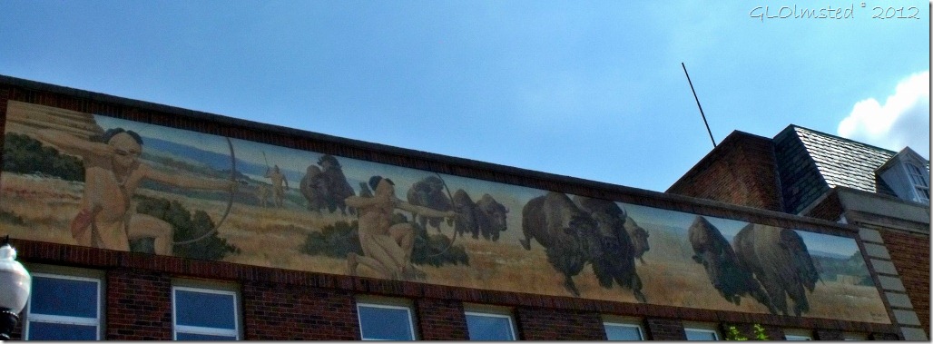
05 Mural by Roger Cooke Ottawa IL (1024x375)

I liked the addition of the historic murals.  This mural by Roger Cooke represents the original inhabitants known as the Ottawas, or “adawe” meaning to trade who hunted the Bison that used to roam the prairies near the confluence of the Fox and Illinois Rivers.

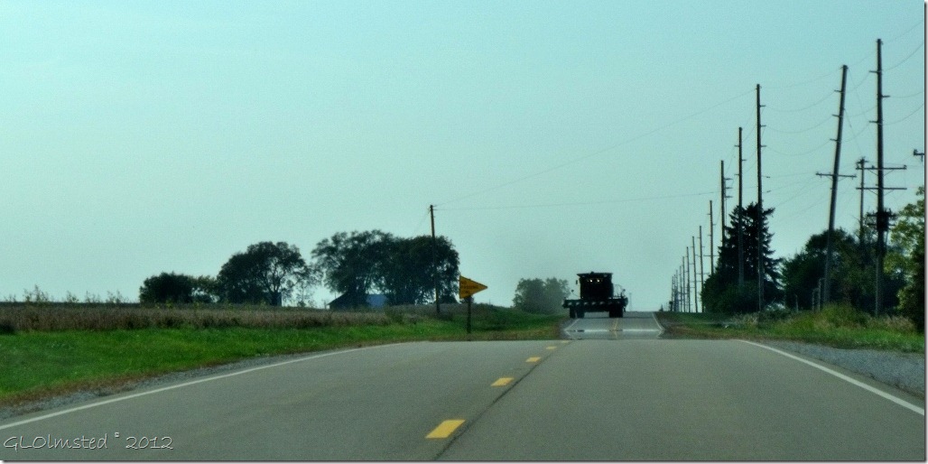
06 Farm machinery along SR6 near Utica IL (1024x510)

Living in Arizona I don’t see this type of farm machinery coming down the road.

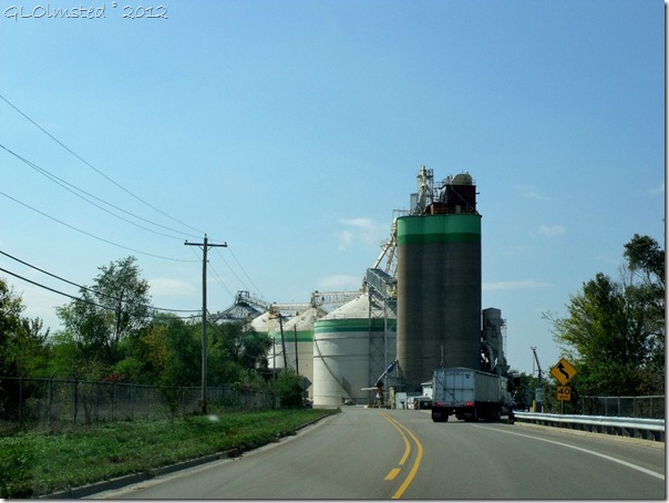
07 Grain silos along SR6 near Utica IL (1024x768)

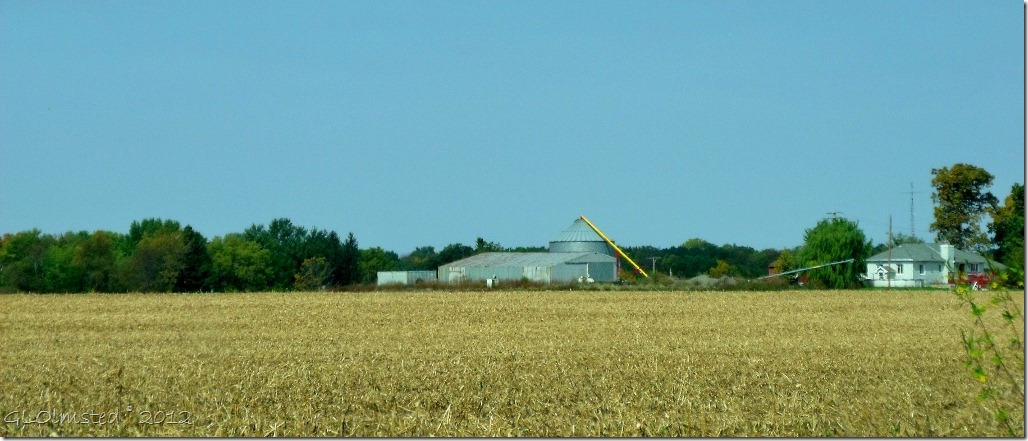
Or grain silos either.  And it’s not like I want to move back to Illinois.

Yet I wonder if these farms are still family owned or operated by some big corporation.  And if houses continue to spread across the land where will our food be produced, in a test tube?

Push my buttons!

  • Click to share on Facebook (Opens in new window) Facebook
  • Click to share on X (Opens in new window) X
  • Click to share on LinkedIn (Opens in new window) LinkedIn

Like this:

Like Loading...
Illinois 16 Comments
← Older posts

Hi, I’m Gaelyn, the Geogypsy

I retired after 29 summer seasons as a Park Ranger, traveling solo for 40+ years. My passions include travel, connecting to nature, photography, and sharing stories.

I started exploring US National Parks in 1977 and 20 years later became a seasonal Park Ranger.  I’ve lived full-time in a RV for 30 years working summers and playing winters.  I’m still trying to figure out what I want to be when I grow old, other than grow up.

Let’s share our stories.  Here’s more of mine…

My wheeleastate

I am currently…

…boondocking somewhere in southern Arizona.  In the area, give a shout.

Geogypsytraveler on YouTube

Follow my journey on YouTube. Just click the pic. Hope you’ll like, share, and subscribe.

Click image for 7 minute documentary (Password “geogypsy” lowercase)

Making the Gypsy documentary is a story of its own.  Click below for the rest of the story.

Living nomadically & connecting to nature documentary

Subscribe to Blog via Email

Enter your email address to subscribe to this blog and receive notifications of new posts by email.

Photos available for sale include prints, greeting cards, coffee mugs, tote bags, phone cases and more

Reflected Wave 24X16 metal print under $100

Custom Coffee Mugs

Many items to choose from including prints

The Last Blast 24 x 16″ metal print under $100

Need a signal boost? When I boondock on public lands sometimes signal is weak or intermittent and a booster helps. Click the pic to visit WeBoost.

Connecting to nature and the rest of the world too.

Please contact me for photo purchases not seen at GLOlmsted Photography

Order fulfillment is by Fine Art America. If you’re not happy with your purchase, for any reason, simply return it within 30 days, and you’ll receive a full refund of the purchase price.

Why read Geogypsy?

The gypsy life spring-summer 1998 - "You were a real pioneer. RV'ing before it was cool." ...Yogi

How do you process photos? - “Your photographs create an Emotional feeling in the viewer...that they become One with You.” …Cindy

Life’s transitions between travel and work play - "I know you love your job as much as you love travel -- it shines through all your posts." ...Sallie

Lions at Kruger National Park - “Wonderful post, thank you. I was hooked start to finish!” … Peter B

11 lessons looking back 2013 - “A great post -- made me think, made me smile, made me want to cry." ...Sallie

Wildlife video Kruger National Park - “Gorgeous, this makes me want to go straight to South Africa now.” … Ayngelina

Living nomadically & connecting to nature documentary - “What an experience you had and gave to the "crew." Sometimes I think you don't realize how unique and inspiring you are.” …Alan

Search

Popular Posts

1. Prioritize the well-being of nature over photography. 2. Educate yourself about the places you photograph. 3. Reflect on the possible impact of your actions. 4. Use discretion if sharing locations. 5. Know and follow rules and regulations. 6. Always follow Leave No Trace principles and strive to leave places better than you found them. 7. Actively promote and educate others about these principles

Categories

Archives

Sites I follow, read & recommend

  • A Full-time Life
  • A Yankee in Belgrade
  • Bob's Eyes
  • Box Canyon Blog
  • Camels and Chocolate
  • Dawns bloggy blog
  • In the Direction of Our Dreams
  • Jane in her infinite wisdom
  • Janie and Steve, Utah Trails
  • Kathie's Birds
  • Las Adventuras
  • Memorable Meanders
  • Oh, The Places They Go
  • On the Road Abode
  • Port Elizabeth Daily Photo
  • Stillhowlyntravels
  • Take to the Highway
  • Technomadia
  • the good luck Duck
  • Travel with the Bayfield Bunch
  • Wandering Earl
  • Wheeling It
  • Yogi's Den

Caught in a Slot 9×12 canvas print under $50

If you don’t like what’s going on in your government, contact your Congress

Directory of Senators

Directory of Representatives

Lijit

© Copyright 2008-2024. Geogypsytraveler.com
%d