• Home
  • About Geogypsy
    • Herstory
    • Parks where I’ve worked
  • Places I’ve been
    • United States
      • Arizona
        • Antelope Slot Canyon
        • Casa Grande Ruins National Monument
        • Colossal Cave Mountain Park
        • Flagstaff
        • Glen Canyon National Recreation Area
        • Grand Canyon National Park
          • Grand Canyon National Park North Rim
          • Grand Canyon National Park South Rim
          • Toroweap
        • Havasu Canyon
        • Horseshoe Bend
        • Jerome
        • Kaibab National Forest
        • Lee’s Ferry
        • Meteor Crater
        • Navajo Bridge
        • Oak Creek Canyon
        • Painted Desert
        • Pipe Springs National Monument
        • Prescott
        • Quartzsite
        • Saguaro National Park
        • Sedona
        • Sunset Crater Volcano National Monument
        • Vermilion Cliffs
        • Walnut Canyon National Monument
        • Wupatki National Monument
        • Yarnell
      • California
        • Anzaberrego
        • Bakersfield
        • Death Valley National Park
        • Joshua Tree National Park
        • Redwoods NP
        • Salton Sea
        • Yucca Valley
      • Colorado
        • Mesa Verde National Park
      • Florida
      • Illinois
        • IL River
        • Morton Arboretum
        • Starved Rock State Park
      • Michigan
      • Nevada
      • New Mexico
      • Oregon
        • Crater Lake NP
        • Mt Hood
        • Oregon Caves National Monument
      • Texas
        • Alpine Texas
        • Padre Island
        • Port Isabel
        • Rio Grande Valley
      • Utah
        • Brian’s Head
        • Bryce Canyon National Park
        • Buckskin Gulch
        • Cedar Breaks National Monument
        • Cedar City
        • Coral Pink Sand Dunes State Park
        • Dixie National Forest
        • Grand Staircase Escalante National Monument
        • Johnson Canyon
        • Kanab
    • World Travels
      • Germany
      • Mexico
      • South Africa
  • Tours
  • Photography
  • Work with Me
    • Sponsors
  • Contact
Geogypsy
Menu
  • Home
  • About Geogypsy
    • Herstory
    • Parks where I’ve worked
  • Places I’ve been
    • United States
      • Arizona
        • Antelope Slot Canyon
        • Casa Grande Ruins National Monument
        • Colossal Cave Mountain Park
        • Flagstaff
        • Glen Canyon National Recreation Area
        • Grand Canyon National Park
          • Grand Canyon National Park North Rim
          • Grand Canyon National Park South Rim
          • Toroweap
        • Havasu Canyon
        • Horseshoe Bend
        • Jerome
        • Kaibab National Forest
        • Lee’s Ferry
        • Meteor Crater
        • Navajo Bridge
        • Oak Creek Canyon
        • Painted Desert
        • Pipe Springs National Monument
        • Prescott
        • Quartzsite
        • Saguaro National Park
        • Sedona
        • Sunset Crater Volcano National Monument
        • Vermilion Cliffs
        • Walnut Canyon National Monument
        • Wupatki National Monument
        • Yarnell
      • California
        • Anzaberrego
        • Bakersfield
        • Death Valley National Park
        • Joshua Tree National Park
        • Redwoods NP
        • Salton Sea
        • Yucca Valley
      • Colorado
        • Mesa Verde National Park
      • Florida
      • Illinois
        • IL River
        • Morton Arboretum
        • Starved Rock State Park
      • Michigan
      • Nevada
      • New Mexico
      • Oregon
        • Crater Lake NP
        • Mt Hood
        • Oregon Caves National Monument
      • Texas
        • Alpine Texas
        • Padre Island
        • Port Isabel
        • Rio Grande Valley
      • Utah
        • Brian’s Head
        • Bryce Canyon National Park
        • Buckskin Gulch
        • Cedar Breaks National Monument
        • Cedar City
        • Coral Pink Sand Dunes State Park
        • Dixie National Forest
        • Grand Staircase Escalante National Monument
        • Johnson Canyon
        • Kanab
    • World Travels
      • Germany
      • Mexico
      • South Africa
  • Tours
  • Photography
  • Work with Me
    • Sponsors
  • Contact

Category: Death Valley National Park

02 March 2016

A painter’s palette along Artists Drive Death Valley

February 17 & 18, 2016
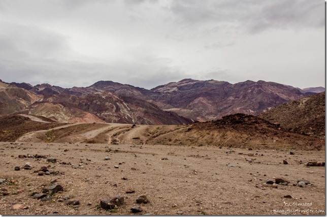
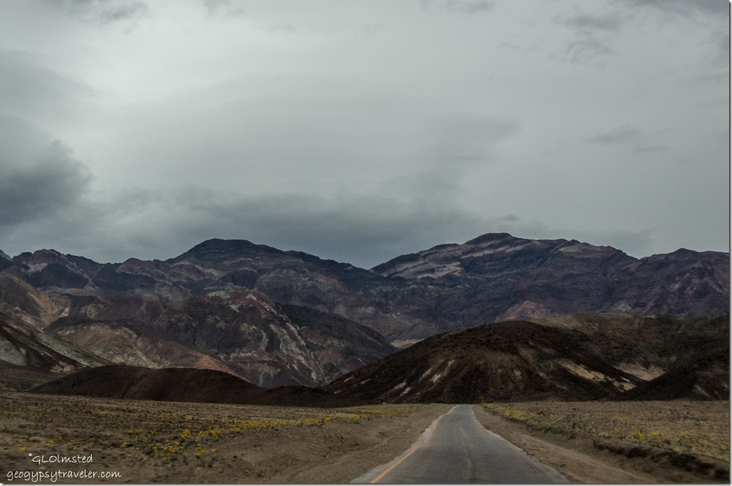
Artists Drive Death Valley National Park CaliforniaUnder darkening skies Bill and I took the curvy 9-mile Artists Drive loop before heading back to camp from our day of wildflowers.  The rocky slopes looked like various flavors of assorted chocolates in the dim light.
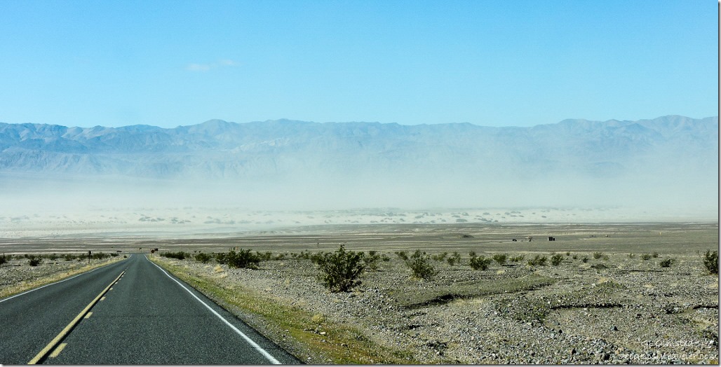
Wind blown Mesquite Sand Dunes Death Valley National Park CaliforniaThursday morning the wind blown sand at Mesquite Dunes just about obliterated any view of the dunes.  I couldn’t believe people were out walking into this.  All my photos were taken through the windshield.  We did return the next night just before sunset.
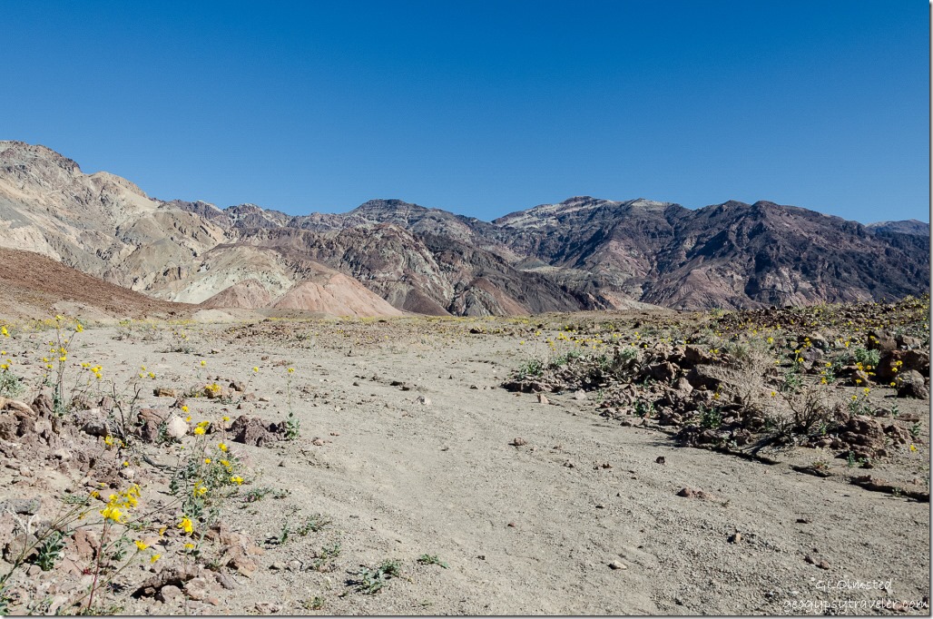
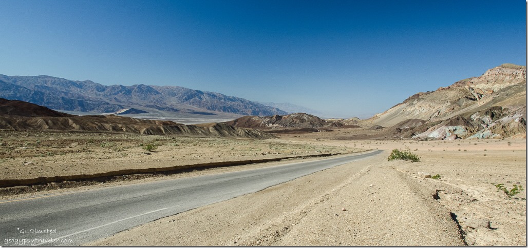
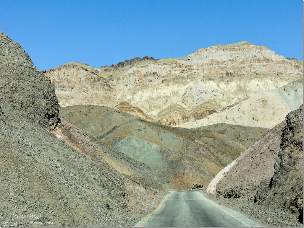
Artists Drive Death Valley National Park CaliforniaWe also returned to Artists Drive under sunny skies and what a totally different view of these multi-hued volcanic and sedimentary hills.  Artists Drive rises up to the top of an alluvial fan fed by a deep canyon cut into the Black Mountains.
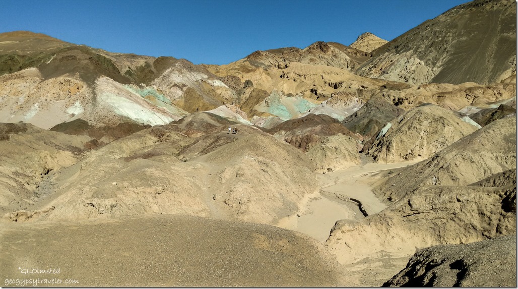
Artists Drive stop Death Valley National Park CaliforniaWe didn’t climb up onto the rocky pallet like some folks, simply enjoying the colors from a distance.
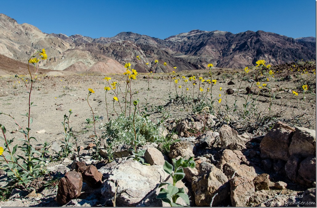
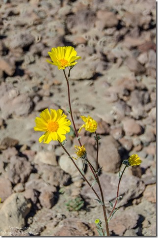
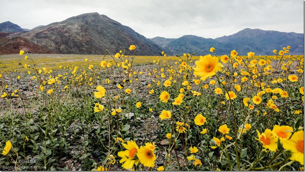
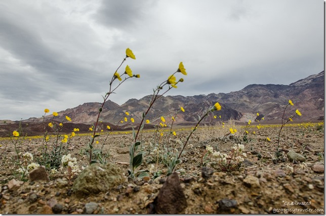
Desert Gold Artists Drive Death Valley National Park CaliforniaInstead I followed a wash with beckoning flowers.  Once again the Desert Gold stole the show with other tiny or sparse scatterings of purples and white requiring more of a search.


Desert Gold Artists Drive Death Valley National Park California


A woman came up behind me and started taking pictures of me taking pictures.  We only talked briefly as I was absorbed with the landscape.
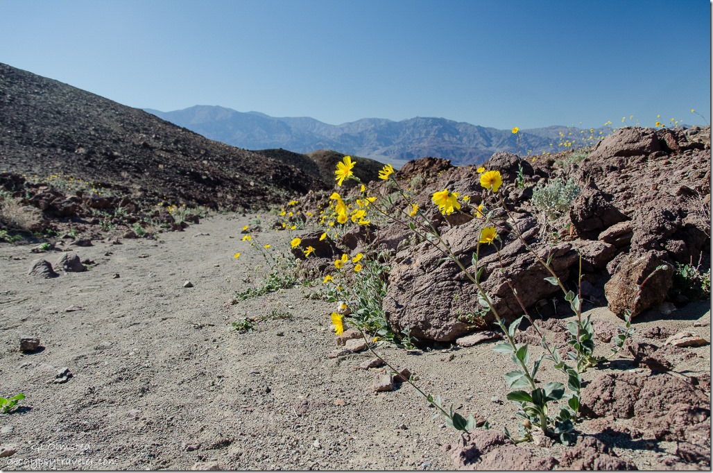


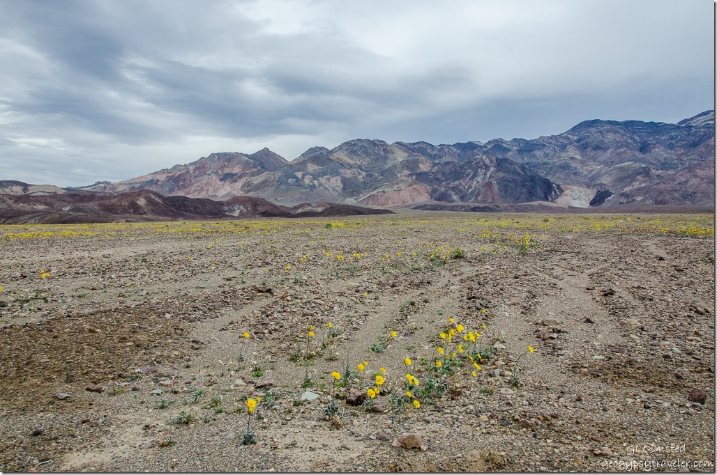
Desert Gold & Panament Range Artists Drive Death Valley National Park CaliforniaShe found better conversation with Bill as they both watched me focus on the flowers and view, the above looking west towards the valley and Panamint Range beyond.  Most people visiting national parks are friendly and excited to be there.
Artists Drive Death Valley National Park California

Artists Drive Death Valley National Park California

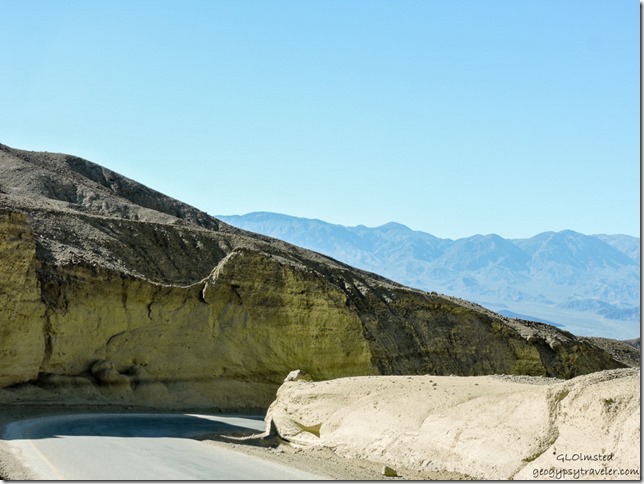
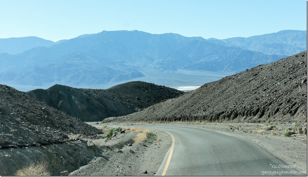
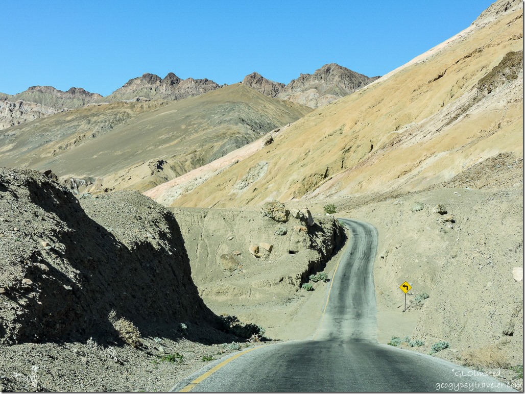
Artists Drive Death Valley National Park CaliforniaThen just when you think the road is running the straight and narrow it suddenly cuts through these hills in hairpin turns making me glad it’s one-way and limited to vehicles less than 25 feet in length.  I think Bill was a little worried when he drove it in the almost dark the night before, but was more scared when I drove through in the light.  Could that be because I take photos while driving?
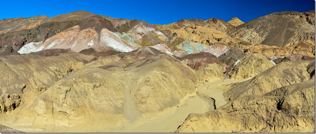
Artists Palette Death Valley National Park CaliforniaNext stop, Artists Palette with it’s striking mineral colors.
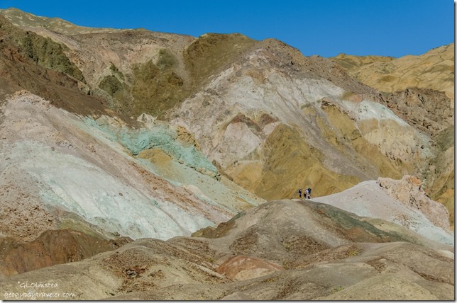
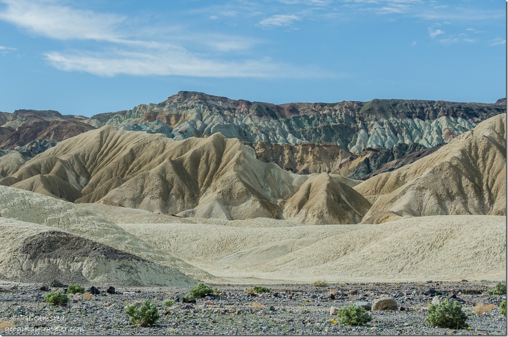
People Artists Palette Death Valley National Park CaliforniaFive million years ago volcanic eruptions deposited ash and minerals on this landscape.  Later these deposits were chemically altered by heat and water, with variable amounts of oxygen and other introduced elements.  Oxidation produced red, pink and yellow from iron, purple manganese and green chlorite.  Even though I’m an avid rock nut I didn’t feel the need to walk on and up to these amazing displays.
Artists Drive Death Valley National Park California

 Artists Drive Death Valley National Park California

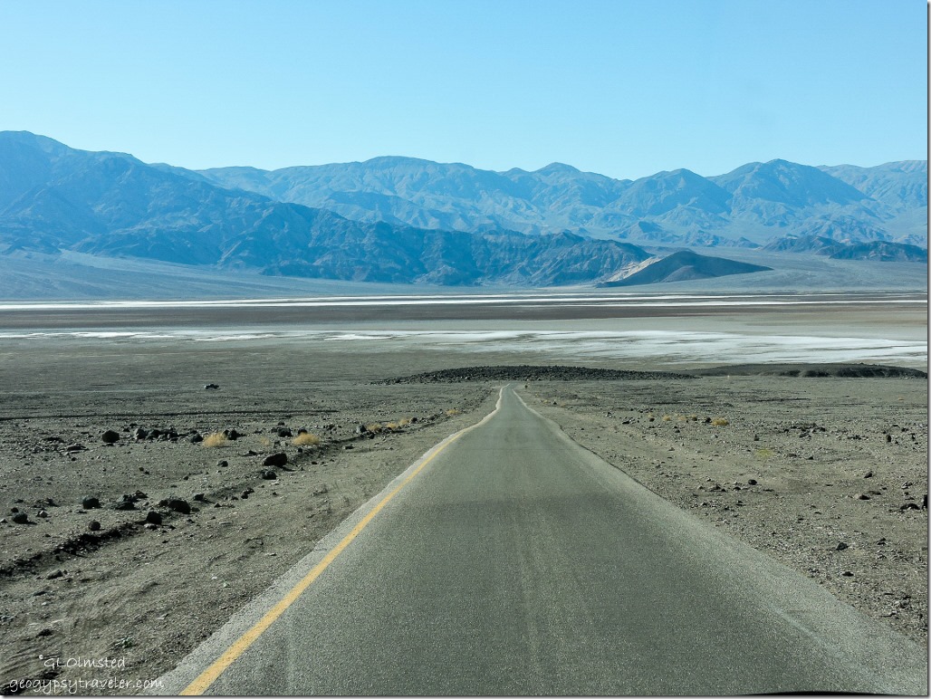
Artists Drive Death Valley National Park CaliforniaThe loopy drive continued dropping back to the hazy valley floor.
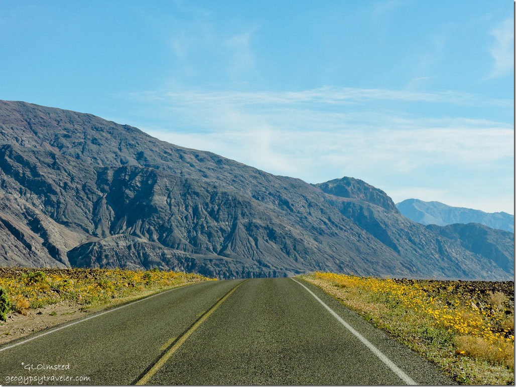
Badwater Road Death Valley National Park CaliforniaWhere we headed south once again to search for wildflowers under a bright blue sky.

Push my buttons!

  • Facebook
  • Twitter
  • LinkedIn

Like this:

Like Loading...
California, Death Valley National Park, National Parks and Monuments Artists Palette, Death Valley 29 Comments
29 February 2016

Death Valley Super Bloom put on a show

February 17, 2016

Desert Gold wildflowers Badwater Basin Death Valley National Park CaliforniaSocial media was plastered with the news of a rare Death Valley Super Bloom.  I missed the last one in 2005 so I figured to get there this time.  I took 1000s of photos between two cameras and the phone (which takes great photos like the one above) but will try not to post them all here.

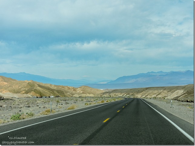
Zabriskie Point parking Hwy 190 Death Valley National Park CaliforniaAfter Tuesday night camping at Tecopa hot springs Bill and I headed north on Hwy 127 past Shoshone and the closed southeast entrance to Death Valley Junction and into the park on Hwy 190.  The 2200 foot drop from Death Valley Junction to Furnace Creek at –190 feet took us past the turn off to Dante’s View and the parking for Zabriskie Point seen above.  (Heavy rain in October closed roads and Scotty’s Castle.  Check for road conditions here.)

SR190 Death Valley National Park CaliforniaMarvelous shades of rock along the way but very few flowers.


Texas Spring campsite Death Valley National Park CaliforniaA quick stop at the Visitor Center got us the park map and newspaper plus directions to two possible dry camps nearby, all first come first serve.  Sunset campground is a huge gravel parking lot adjacent to the park’s main road.  We opted for Texas Spring campground just up the hill with bathrooms, wash sink, water access, great views, and marvelous rocky ridges all for the geezer half price of $7/night.  The Scrabble “G” on the picnic table confirmed the right site for us so after paying at the electronic box, credit/debit cards only, and placing the stub on site post #95 we took off to search for wildflowers.


Storm clouds over Panamint Range at Devils Golf Course Death Valley National Park CaliforniaPanamint Range

Desert Gold Badwater Road Death Valley National Park California
Feel the wind blow

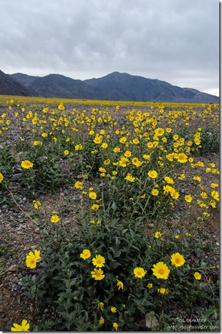
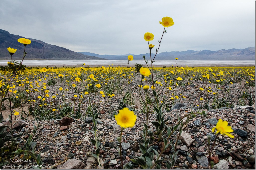
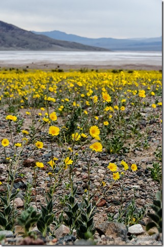
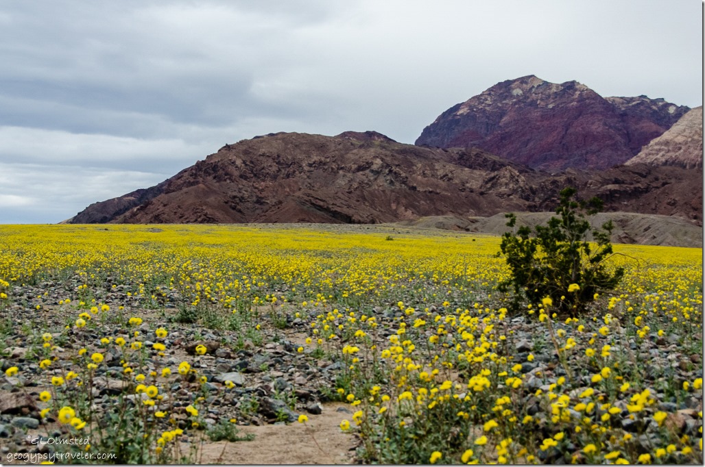
Desert Gold Badwater Road Death Valley National Park CaliforniaFrom Furnace Creek we headed south on the Badwater Road where the flowers were suppose to be at peak.  The above is not peak.  Yet the Desert Gold stole the show, spread across the colluvial fans made up of mosaic rock from mountain canyon runoff.

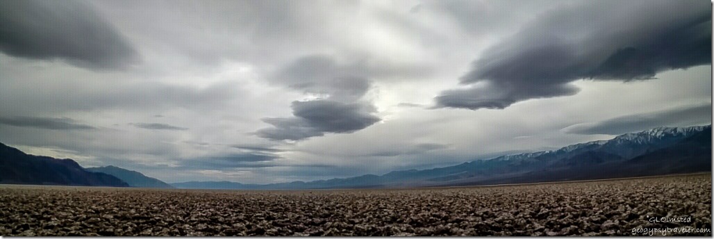
View South from Devils Golf Course Death Valley National Park CaliforniaLoved the dramatic skies


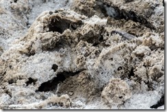
Salt crystals Devils Golf Course Death Valley National Park CaliforniaMade a quick stop at the Devils Golf Course on the northern edge of the salt flats.  The jagged crusty salt looked dingier than I remembered from my last visit.  People walk on the fragile crystals.  I don’t get it that a person would destroy what they came to see.  Isn’t that what zoom on the camera is for?


Badwater Basin & Panamint Range Death Valley National Park California


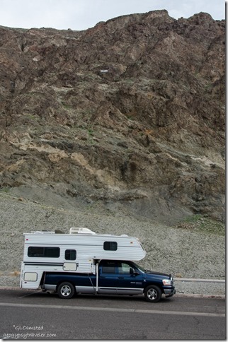
Truck camper below sea level sign Badwater Basin Death Valley National Park California


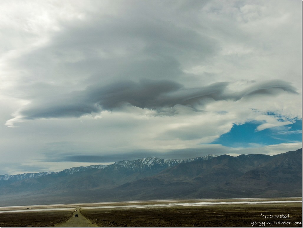
I know you’re here for the flowers but we did see other things as well.  Like Badwater Basin at 282 feet below sea level with the snowy Panamint Range in the distance including Telescope Peak at 11049 feet in elevation.

That tiny white line way above the truck is sea level.


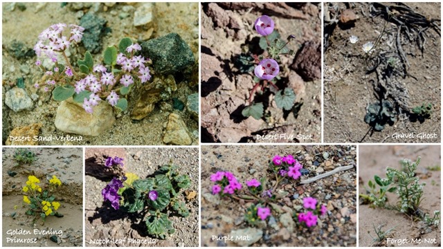
Wildflowers Badwater Basin Road Death Valley National Park CaliforniaYes, I’m finally getting to the flowers.

Wildflowers Death Valley National Park California


Wildflowers Badwater Basin Road Death Valley National Park California


Death Valley National Park gets about two inches of rain annually, so it always sees some wildflowers, though not as many or as varied.


Wildflowers Badwater Basin Road Death Valley National Park California


Wildflowers Badwater Basin Road Death Valley National Park California


Last’s year’s El Niño led to the conditions for this spring’s show. In October, a storm dumped 2.7 inches of rain on Death Valley, half an inch more than the national park usually gets in a year.  The wettest growing season on record so far was 2004-2005. That season’s astounding 6.44 inches of rain led to the last super bloom.


Wildflowers Badwater Basin Road Death Valley National Park CaliforniaAlthough I didn’t see cars lining the road many of the frequent gravel pull offs were being used.  Once again I saw the evidence of people’s disregard for nature as flowers were trampled.  It’s not like they were dense enough to be unavoidable.

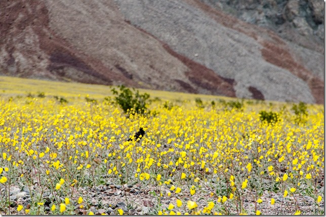
Raven in wildflowers Badwater Basin Road Death Valley National Park CaliforniaEven Raven was smelling the flowers.  Do you see it below the bush?

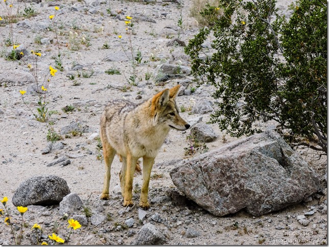
Coyote Badwater Basin Road Death Valley National Park CaliforniaAnd perhaps coyote too, but I think this one was just a beggar hanging out near the road looking for handouts.  Such a shame, but a great photo op.

Stormy sky Death Valley National Park California


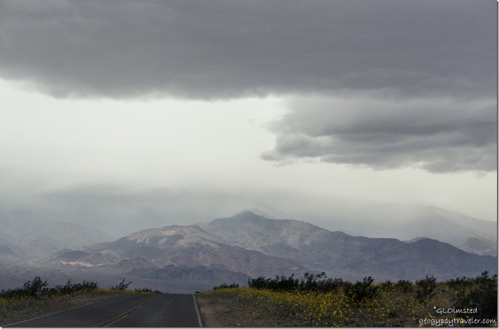
Storm clouds Artists Drive Death Valley National Park CaliforniaA soft rain fell on the drive back to camp and as dusk  came early with a cloud covered sun we took a quick loop on Artisits Drive.

Returned to camp, leveled, and was making dinner when we were interrupted by a French family in a rental motor home who demanded the site was theirs.  And indeed their receipt, not ours, was on the post.  I suggested moving a picnic table over so we could both park there but they called for a Ranger.  Instead, a volunteer host showed up and admitted he’d thrown our receipt away because the bottom portion, with the date, had been torn off.  True, Bill kept it as a credit card receipt.  So in the dark, wind, and rain we moved to the lower Sunset camp.  Then reheated dinner.  Not a good way to end a beautiful day.

Push my buttons!

  • Facebook
  • Twitter
  • LinkedIn

Like this:

Like Loading...
California, Death Valley National Park, National Parks and Monuments salt flats, wildflowers 26 Comments
07 December 2009

Death Valley National Park Mesquite Sand Dunes

Mesquite Sand Dunes Death Valley National Park CaliforniaAfter exploring Scotty’s Castle, Ubehebe Crater and some of Titus Canyon on our third day at Death Valley National Park we stopped at the Mesquite Sand Dunes on the way back to camp.
Mesquite Sand Dunes Death Valley National Park CaliforniaThe sand is a product of erosion from the Cottonwood Mountains to the west and northwest and is made up of light colored grains of quartz and dark grains of magnetite.
Mesquite Sand Dunes Death Valley National Park CaliforniaThe evenly spaced ripples forming perpendicular to the wind are made up of the larger grains that fall behind.
Animal tracks Mesquite Sand Dunes Death Valley National Park CaliforniaI don’t know who’s who. Do you?
There is evidence of creatures that venture onto the sand like the sidewinder rattlesnake, desert kangaroo rat, kit fox, lizards and beetles.
Animal tracks Mesquite Sand Dunes Death Valley National Park California
Mesquite Sand Dunes Death Valley National Park CaliforniaThe day waned.

taken by Jeremy
This was Jeremy and my last night camping in Death Valley and we were rewarded by a full moon. The next day he started his long journey back to the Chicago area and I headed back to my winter home in Yarnell, Arizona

Push my buttons!

  • Facebook
  • Twitter
  • LinkedIn

Like this:

Like Loading...
California, Death Valley National Park, National Parks and Monuments Mesquite Sand Dunes, National Park 32 Comments
← Older posts
Newer posts →

Hi, I’m Gaelyn, the Geogypsy

I retired after 29 summer seasons as a Park Ranger, traveling solo for 40+ years. My passions include travel, connecting to nature, photography, and sharing stories.

I started exploring US National Parks in 1977 and 20 years later became a seasonal Park Ranger.  I’ve lived full-time in a RV for 30 years working summers and playing winters.  I’m still trying to figure out what I want to be when I grow old, other than grow up.

Let’s share our stories.  Here’s more of mine…

My wheeleastate

I am currently…

…boondocking somewhere in southern Arizona.  In the area, give a shout.

Geogypsytraveler on YouTube

Follow my journey on YouTube. Just click the pic. Hope you’ll like, share, and subscribe.

Click image for 7 minute documentary (Password “geogypsy” lowercase)

Making the Gypsy documentary is a story of its own.  Click below for the rest of the story.

Living nomadically & connecting to nature documentary

Subscribe to Blog via Email

Enter your email address to subscribe to this blog and receive notifications of new posts by email.

Photos available for sale include prints, greeting cards, coffee mugs, tote bags, phone cases and more

Reflected Wave 24X16 metal print under $100

Custom Coffee Mugs

Many items to choose from including prints

The Last Blast 24 x 16″ metal print under $100

Need a signal boost? When I boondock on public lands sometimes signal is weak or intermittent and a booster helps. Click the pic to visit WeBoost.

Connecting to nature and the rest of the world too.

Please contact me for photo purchases not seen at GLOlmsted Photography

Order fulfillment is by Fine Art America. If you’re not happy with your purchase, for any reason, simply return it within 30 days, and you’ll receive a full refund of the purchase price.

Why read Geogypsy?

The gypsy life spring-summer 1998 - "You were a real pioneer. RV'ing before it was cool." ...Yogi

How do you process photos? - “Your photographs create an Emotional feeling in the viewer...that they become One with You.” …Cindy

Life’s transitions between travel and work play - "I know you love your job as much as you love travel -- it shines through all your posts." ...Sallie

Lions at Kruger National Park - “Wonderful post, thank you. I was hooked start to finish!” … Peter B

11 lessons looking back 2013 - “A great post -- made me think, made me smile, made me want to cry." ...Sallie

Wildlife video Kruger National Park - “Gorgeous, this makes me want to go straight to South Africa now.” … Ayngelina

Living nomadically & connecting to nature documentary - “What an experience you had and gave to the "crew." Sometimes I think you don't realize how unique and inspiring you are.” …Alan

Search

Popular Posts

1. Prioritize the well-being of nature over photography. 2. Educate yourself about the places you photograph. 3. Reflect on the possible impact of your actions. 4. Use discretion if sharing locations. 5. Know and follow rules and regulations. 6. Always follow Leave No Trace principles and strive to leave places better than you found them. 7. Actively promote and educate others about these principles

Categories

Archives

Sites I follow, read & recommend

  • A Full-time Life
  • A Yankee in Belgrade
  • Bob's Eyes
  • Box Canyon Blog
  • Camels and Chocolate
  • Dawns bloggy blog
  • In the Direction of Our Dreams
  • Jane in her infinite wisdom
  • Janie and Steve, Utah Trails
  • Kathie's Birds
  • Las Adventuras
  • Memorable Meanders
  • Oh, The Places They Go
  • On the Road Abode
  • Port Elizabeth Daily Photo
  • Stillhowlyntravels
  • Take to the Highway
  • Technomadia
  • the good luck Duck
  • Travel with the Bayfield Bunch
  • Wandering Earl
  • Wheeling It
  • Yogi's Den

Caught in a Slot 9×12 canvas print under $50

If you don’t like what’s going on in your government, contact your Congress

Directory of Senators

Directory of Representatives

Lijit

© Copyright 2008-2024. Geogypsytraveler.com
%d