• Home
  • About Geogypsy
    • Herstory
    • Parks where I’ve worked
  • Places I’ve been
    • United States
      • Arizona
        • Antelope Slot Canyon
        • Casa Grande Ruins National Monument
        • Colossal Cave Mountain Park
        • Flagstaff
        • Glen Canyon National Recreation Area
        • Grand Canyon National Park
          • Grand Canyon National Park North Rim
          • Grand Canyon National Park South Rim
          • Toroweap
        • Havasu Canyon
        • Horseshoe Bend
        • Jerome
        • Kaibab National Forest
        • Lee’s Ferry
        • Meteor Crater
        • Navajo Bridge
        • Oak Creek Canyon
        • Painted Desert
        • Pipe Springs National Monument
        • Prescott
        • Quartzsite
        • Saguaro National Park
        • Sedona
        • Sunset Crater Volcano National Monument
        • Vermilion Cliffs
        • Walnut Canyon National Monument
        • Wupatki National Monument
        • Yarnell
      • California
        • Anzaberrego
        • Bakersfield
        • Death Valley National Park
        • Joshua Tree National Park
        • Redwoods NP
        • Salton Sea
        • Yucca Valley
      • Colorado
        • Mesa Verde National Park
      • Florida
      • Illinois
        • IL River
        • Morton Arboretum
        • Starved Rock State Park
      • Michigan
      • Nevada
      • New Mexico
      • Oregon
        • Crater Lake NP
        • Mt Hood
        • Oregon Caves National Monument
      • Texas
        • Alpine Texas
        • Padre Island
        • Port Isabel
        • Rio Grande Valley
      • Utah
        • Brian’s Head
        • Bryce Canyon National Park
        • Buckskin Gulch
        • Cedar Breaks National Monument
        • Cedar City
        • Coral Pink Sand Dunes State Park
        • Dixie National Forest
        • Grand Staircase Escalante National Monument
        • Johnson Canyon
        • Kanab
    • World Travels
      • Germany
      • Mexico
      • South Africa
  • Tours
  • Photography
  • Work with Me
    • Sponsors
  • Contact
Geogypsy
Menu
  • Home
  • About Geogypsy
    • Herstory
    • Parks where I’ve worked
  • Places I’ve been
    • United States
      • Arizona
        • Antelope Slot Canyon
        • Casa Grande Ruins National Monument
        • Colossal Cave Mountain Park
        • Flagstaff
        • Glen Canyon National Recreation Area
        • Grand Canyon National Park
          • Grand Canyon National Park North Rim
          • Grand Canyon National Park South Rim
          • Toroweap
        • Havasu Canyon
        • Horseshoe Bend
        • Jerome
        • Kaibab National Forest
        • Lee’s Ferry
        • Meteor Crater
        • Navajo Bridge
        • Oak Creek Canyon
        • Painted Desert
        • Pipe Springs National Monument
        • Prescott
        • Quartzsite
        • Saguaro National Park
        • Sedona
        • Sunset Crater Volcano National Monument
        • Vermilion Cliffs
        • Walnut Canyon National Monument
        • Wupatki National Monument
        • Yarnell
      • California
        • Anzaberrego
        • Bakersfield
        • Death Valley National Park
        • Joshua Tree National Park
        • Redwoods NP
        • Salton Sea
        • Yucca Valley
      • Colorado
        • Mesa Verde National Park
      • Florida
      • Illinois
        • IL River
        • Morton Arboretum
        • Starved Rock State Park
      • Michigan
      • Nevada
      • New Mexico
      • Oregon
        • Crater Lake NP
        • Mt Hood
        • Oregon Caves National Monument
      • Texas
        • Alpine Texas
        • Padre Island
        • Port Isabel
        • Rio Grande Valley
      • Utah
        • Brian’s Head
        • Bryce Canyon National Park
        • Buckskin Gulch
        • Cedar Breaks National Monument
        • Cedar City
        • Coral Pink Sand Dunes State Park
        • Dixie National Forest
        • Grand Staircase Escalante National Monument
        • Johnson Canyon
        • Kanab
    • World Travels
      • Germany
      • Mexico
      • South Africa
  • Tours
  • Photography
  • Work with Me
    • Sponsors
  • Contact

Category: Death Valley National Park

09 March 2016

Just before sunset Mesquite Sand Dunes Death Valley

February 19, 2016

Hwy 190 South Death Valley National Park CaliforniaAfter our little hike into the Titus Canyon Narrows I headed to the Mesquite Sand Dunes in a hurry as the sun was setting fast and I wanted to see the light and shadows on the dunes.

Mesquite Sand Dunes Death Valley National Park CaliforniaI wasn’t really in the mood to walk far out on the dunes at dusk but others did and helped put the dune size in perspective.
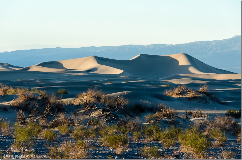
Light & shadow Mesquite Sand Dunes Death Valley National Park CaliforniaCan you see the tiny dots on the ridgeline?
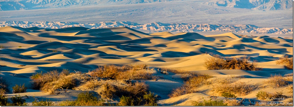
Light & shadow Mesquite Sand Dunes Death Valley National Park CaliforniaSure beat our last visit to the dunes with wind blown sand everywhere.
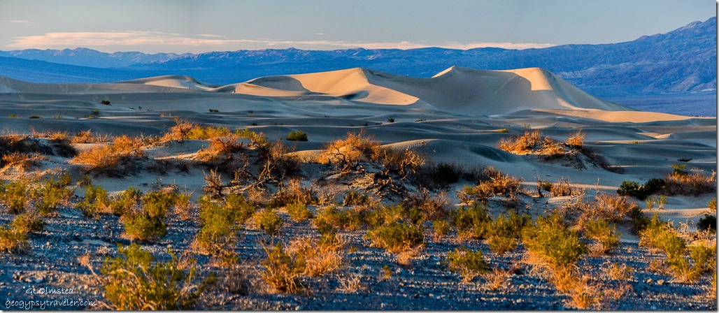
Light & shadow Mesquite Sand Dunes Death Valley National Park CaliforniaBasically found a nice place and watched the light and shadows change.
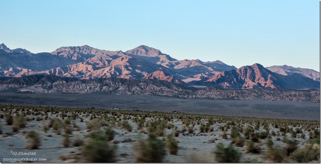
Last light on mountains Death Valley National Park CaliforniaThose last rays lit the eastern mountains in a warm glow that didn’t reflect the quickly dropping temperatures.
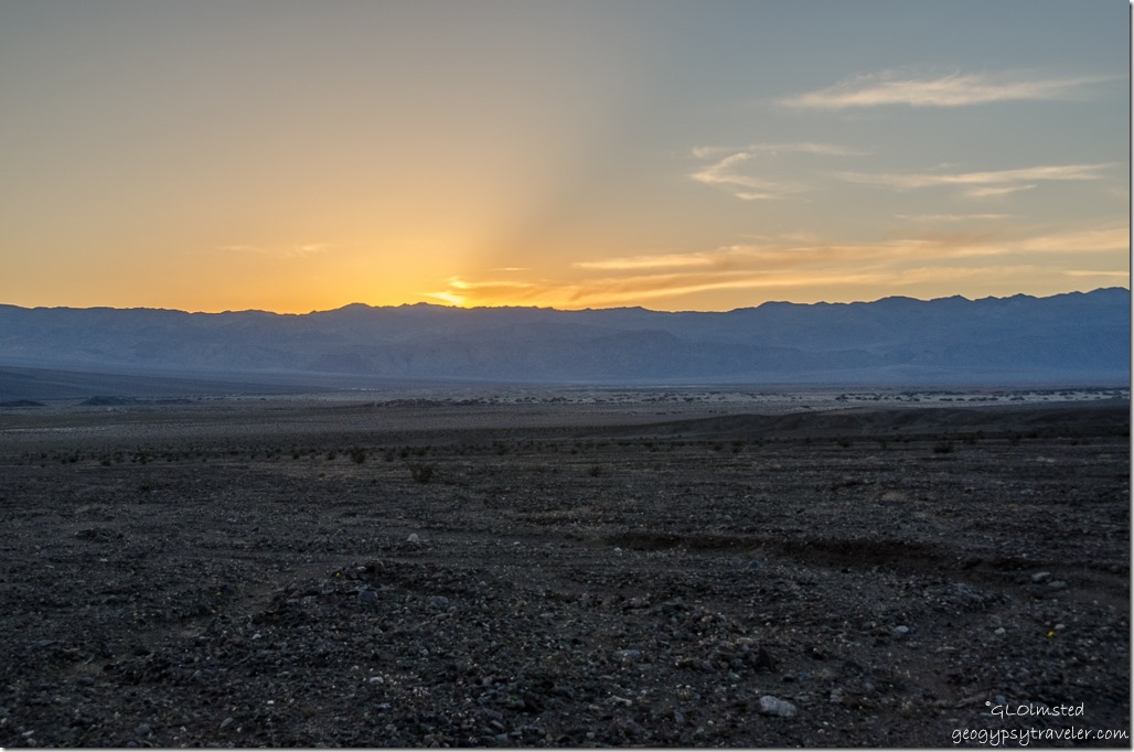
Sunset Death Valley National Park CaliforniaThen a quick stop for sunset while headed back to camp.
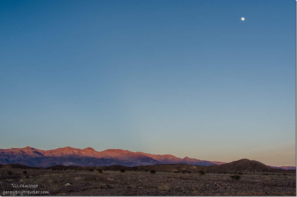
Last light on mountains & moon Death Valley National Park CaliforniaAnd last light on the mountains under the moon.
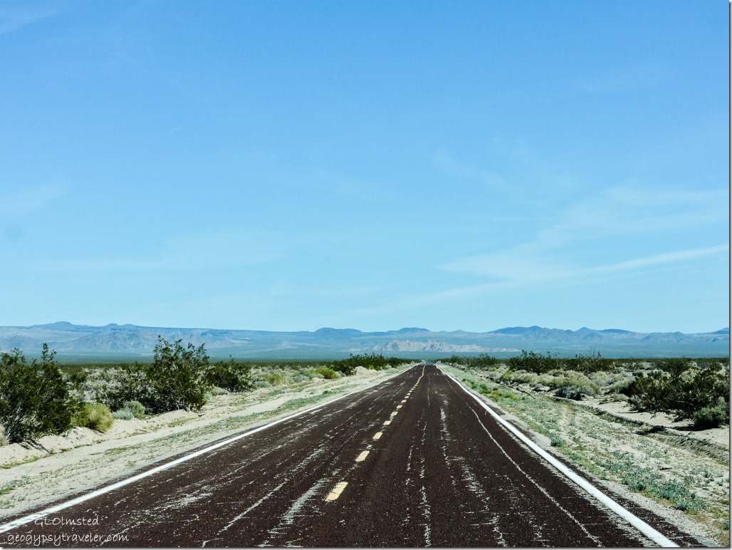
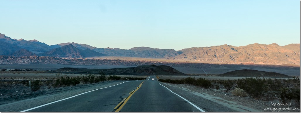
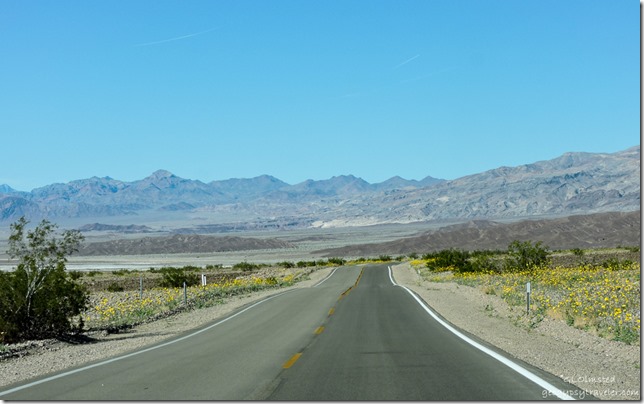
Kelbaker Road East Mojave National Preserve CaliforniaWe wanted to make it an early night as we left Death Valley in the morning to explore Mojave National Preserve.

Push my buttons!

  • Facebook
  • Twitter
  • LinkedIn

Like this:

Like Loading...
California, Death Valley National Park, National Parks and Monuments Mesquite Sand Dunes, sand dunes 24 Comments
07 March 2016

Short hike up Titus Canyon Narrows Death Valley

February 19, 2016

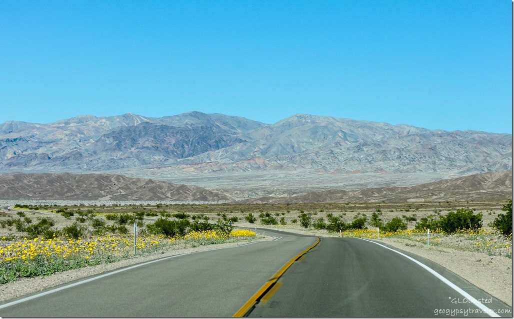
Flowers along Hwy190 Death Valley National Park CaliforniaAfter experiencing the panoramic Death Valley view at Dante’s and seeing nature carved badlands at Zabriskie Point we headed through more of the wildflowers to hike into the Grapevine Mountains at Titus Canyon Narrows.

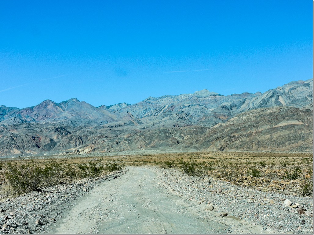
Rough road to Titus Canyon Death Valley National Park CaliforniaThe 2.5 mile (4 km) road was much worse than I remember from visiting during October 2009, yet as I looked back at that I didn’t give the route a star rating then either.  Supposedly two-lanes wide, I was grateful to many vehicles coming our way that were able to pull over for my lumbering truck with camper to pass by.  It was a slow ride.  Had I realized how bad running water had cut into the semi-graded road I might not have continued but there wasn’t any good spots to turn around.  So on we went.

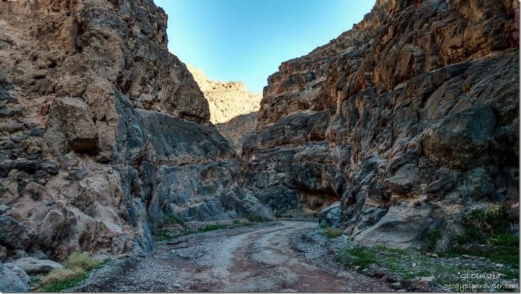
Entering Titus Canyon Death Valley National Park CaliforniaTitus Canyon is the largest and most diverse canyon in the park.  From where we started walking at the mouth of the canyon a gravel road leads 1.5 miles (2.4 km) through Titus Canyon Narrows with 500 foot (152 m) walls of limestone and dolomite.  And at my lollygag pace I’m sure we didn’t get that far.  You can continue 5 miles (8 km) more to Klare Springs and Timbisha petroglyphs.  Nice that this gravel road is dog friendly.

Titus Canyon Death Valley National Park CaliforniaYou can also drive 26 miles (49 km) on this one-way road starting just out of the park off Hwy 374 near the ghost town of Rhyolite, Nevada.  High clearance vehicles are recommended for at least a three hour drive pavement to pavement.  My truck may be high clearance but with the camper no way, although it actually seemed in better shape than the drive to the canyon.

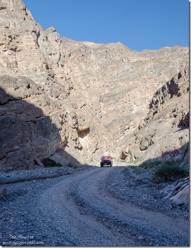
 Jeep Titus Canyon Death Valley National Park California


Several jeeps passed, many rentals from the park’s concession, but we laughed like crazy when a sedan came through.  I missed that shot.  It wasn’t like rush-hour traffic and wide enough to get out of the way.


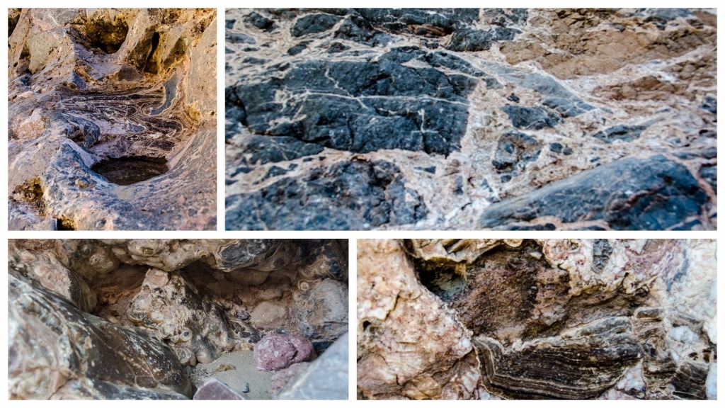
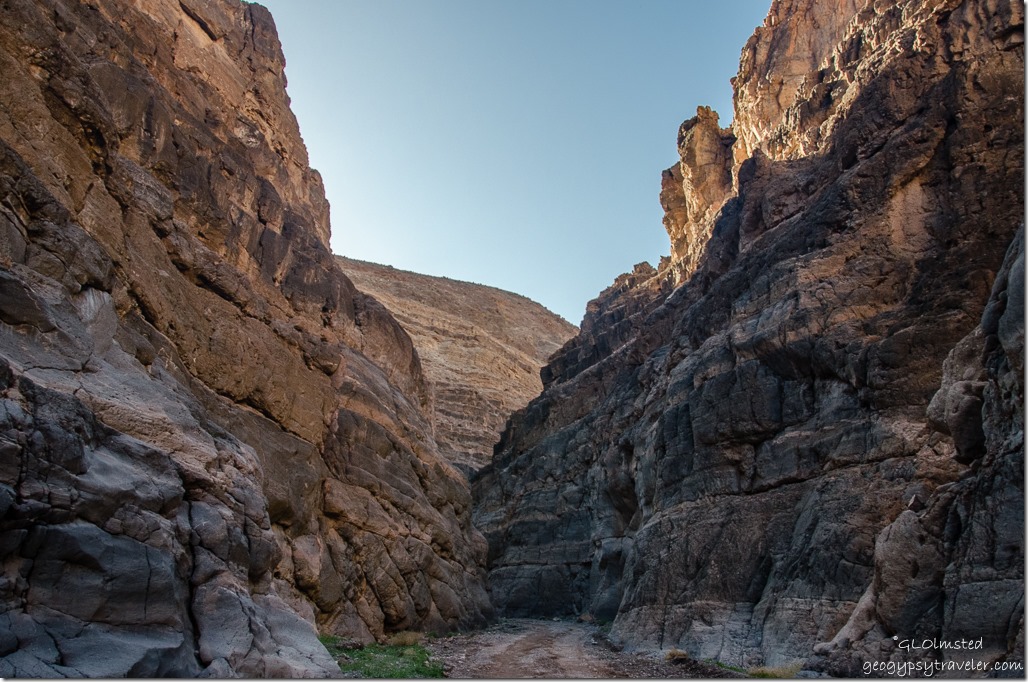
Travertine & megabrecca Titus Canyon Narrows Death Valley National Park CaliforniaThe rock here is amazingly diverse.

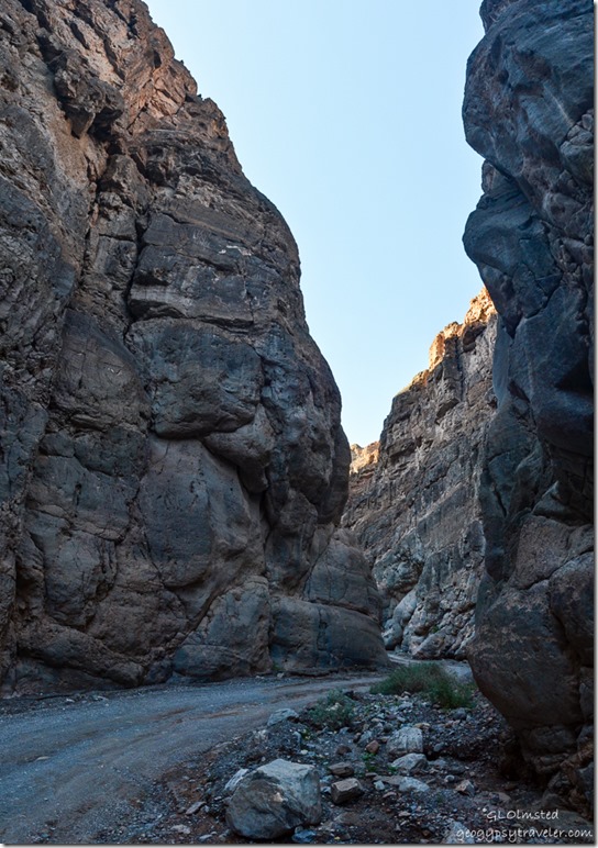
Titus Canyon Narrows Death Valley National Park California


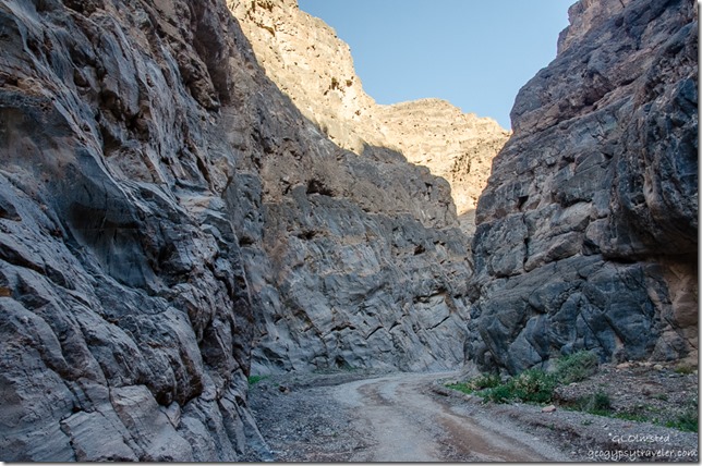
Titus Canyon is a deep, narrow gorge cut into the steep face of the Grapevine Mountains in a wine-glass shape.  Although the mountains were only uplifted about 16mya (million years ago), most of the rocks that make up the range are over 560myo (million years old).  The gray limestone lining the walls in the Narrows formed in a tropical sea.


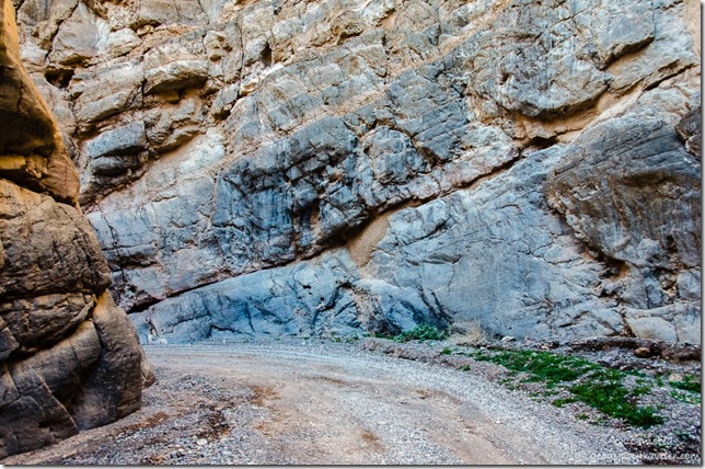
Titus Canyon Narrows Death Valley National Park CaliforniaThese sediments have since been upturned, upfolded (anticlines), downfolded (synclines) and folded back onto themselves (recumbent folds).  Between 65-30mya all was quiet then deposition resumed as sluggish streams migrated laterally over the surface, laying down cobbles, sand, and mud as seen in the Titus Canyon Formation.


Titus Canyon Narrows Death Valley National Park California


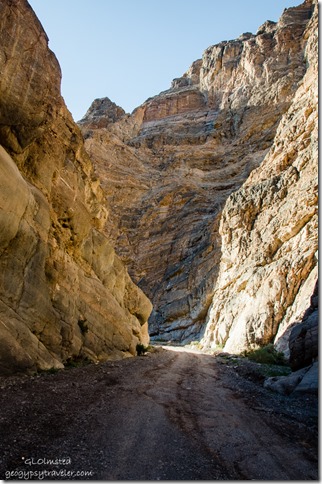
About 27mya, 1200 feet (366 m) of volcanic ash covered what would later become the Grapevine Mountains.  During mountain building stream gradient increased cutting true river valleys, canyons, and gorges that face Death Valley.  Water, mud and debris flows originating from the broad, more open canyon above have scoured the limestone walls smooth in Titus Canyon Narrows and left a large alluvial fan which we still had to drive out on to return to pavement.


Titus Canyon Narrows Death Valley National Park CaliforniaWith the right rig I’d like to drive Titus Canyon, visit the ghost towns and Timbisha petroglyphs.  Then maybe stop for fry bread or an Indian taco at the CCC built Timbisha Shoshone Indian Village near park headquarters at Furnace Creek.  Has anybody stopped there?  We didn’t so have another excuse to return.

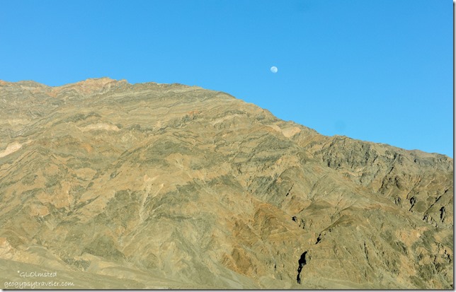
Moon over Grapevine Mountains Death Valley National Park CaliforniaNext stop Mesquite Sand Dunes just before sunset.

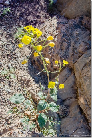
12 DSC_1501hdrlerw Golden Evening Primrose Titus Canyon DEVA NP CA g-HDR (678x1024)-2Sweet little Golden Evening Primrose seen in Titus Canyon Narrows.

Push my buttons!

  • Facebook
  • Twitter
  • LinkedIn

Like this:

Like Loading...
California, Death Valley National Park, National Parks and Monuments geology, Titus Canyon Narrows 24 Comments
05 March 2016

Big views & badlands at Dante’s View & Zabriskie Point Death Valley

February 19, 2016

Zabriskie Point Death Valley National Park CaliforniaOur third day visiting Death Valley for the Super Bloom included a drive up and down to Dante’s View & Zabriskie Point.  With so much diversity in the park we couldn’t limit ourselves to just flowers because the geologic story is ancient and mind-boggling.

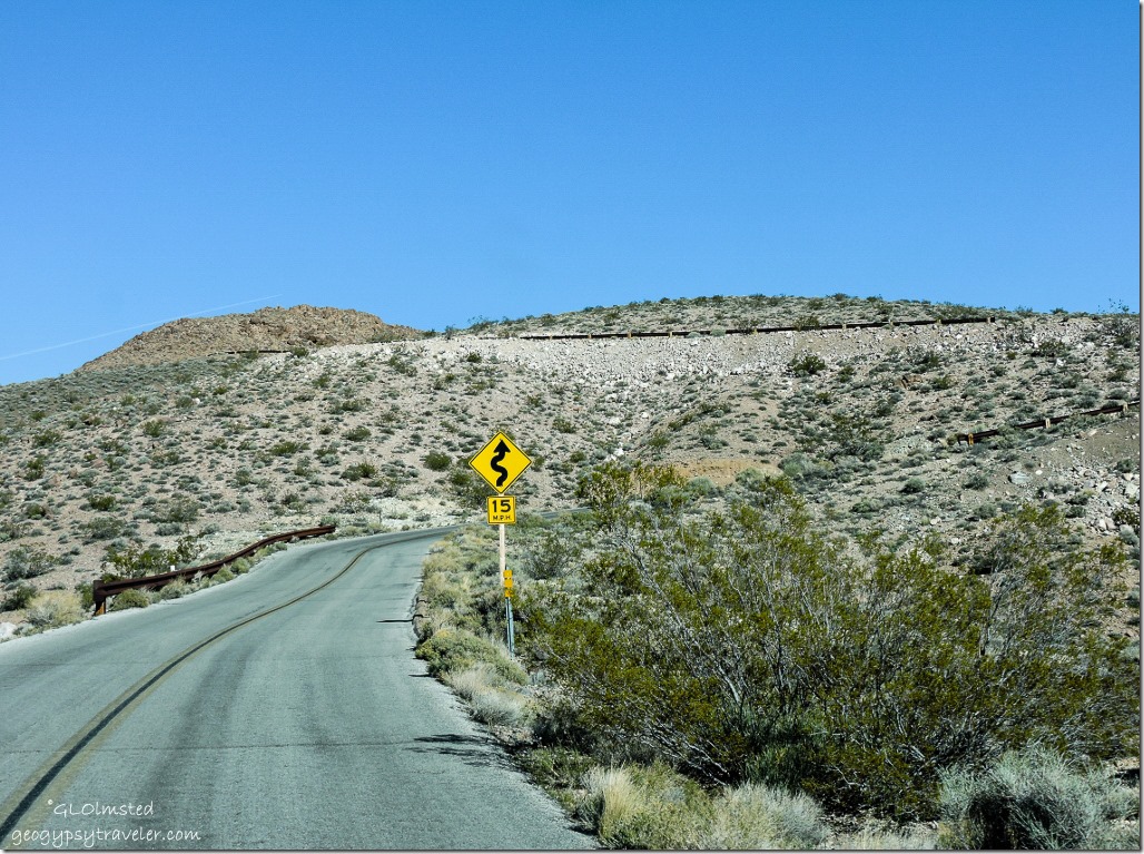
Road to Dante's View Death Valley National Park CaliforniaThe 13-mile drive up to Dante’s View is challenging, two-lane paved, no shoulder, tight curves at the top, 5000 feet above the valley floor, and limited to vehicles no longer than 25 feet.  Just my kind of road.

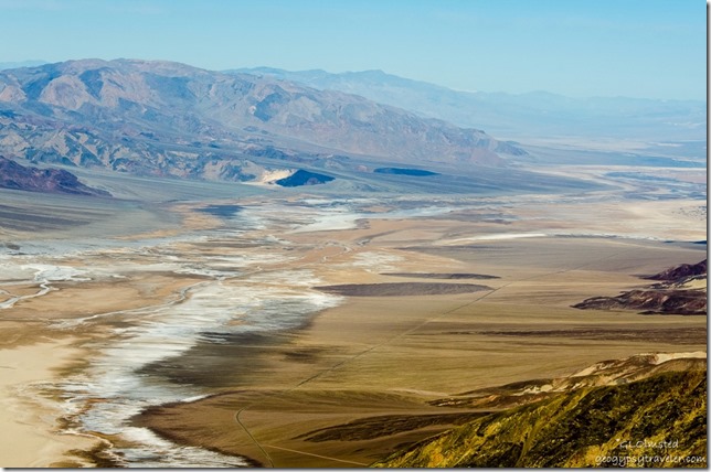
Valley floor from Dante's View Death Valley National Park CaliforniaThe wind smacked us in the face as soon as we stepped out of the truck, a cold wind compared to the valley far below.  But oh so worth it, briefly, for the view.  I always love looking back at a place I’ve been or to a place I’m going.  Not only did Dante’s provide the biggest view of the valley but also 11049 foot (3368 m) Telescope Peak in the snowy Panamint Range to the west.

Badwater Basin from Dante's View Death Valley National Park CaliforniaDeath Valley sits between two gigantic mountain ranges today, Panamint to the west and Amargosa to the east.  Yet in the geologic past this area has been covered by oceans, lakes, beaches, rivers, lava, and ash leaving behind multiple layers of limestone and sandstone sediments.  The story began ~250mya (million years ago) when a shallow sea receded and movement of tectonic plates over the next 180my (million years) caused the earth’s crust to uplift, stretch, and fracture, forming fault lines.  Tilting and rotating of two blocks of land between faults created Badwater Basin and the mountain ranges on either side.  On top of these growing ranges volcanic ash and cinders were deposited over 60my and eventually revealed as the colors at Artists Palette.  Then about 3mya crustal movement changed and the valley began to form, slipping downward along the fault that lies at the base of the Black Mountains to the east.  At the same time, erosion from the mountains deposits rock in the valley.  I guess it all balances out right now but will change again.

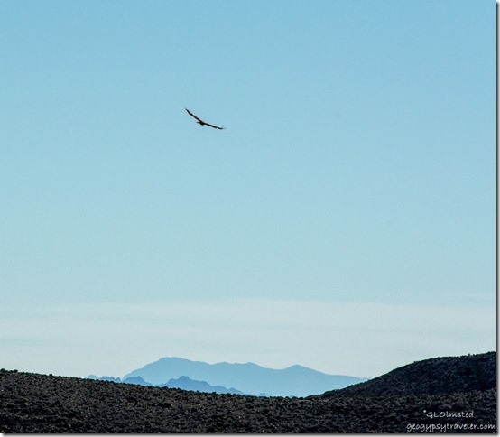
Hawk soaring above Dante's View Death Valley National Park CaliforniaWatched a hawk soar on the hellish winds.  Just imagine its view.

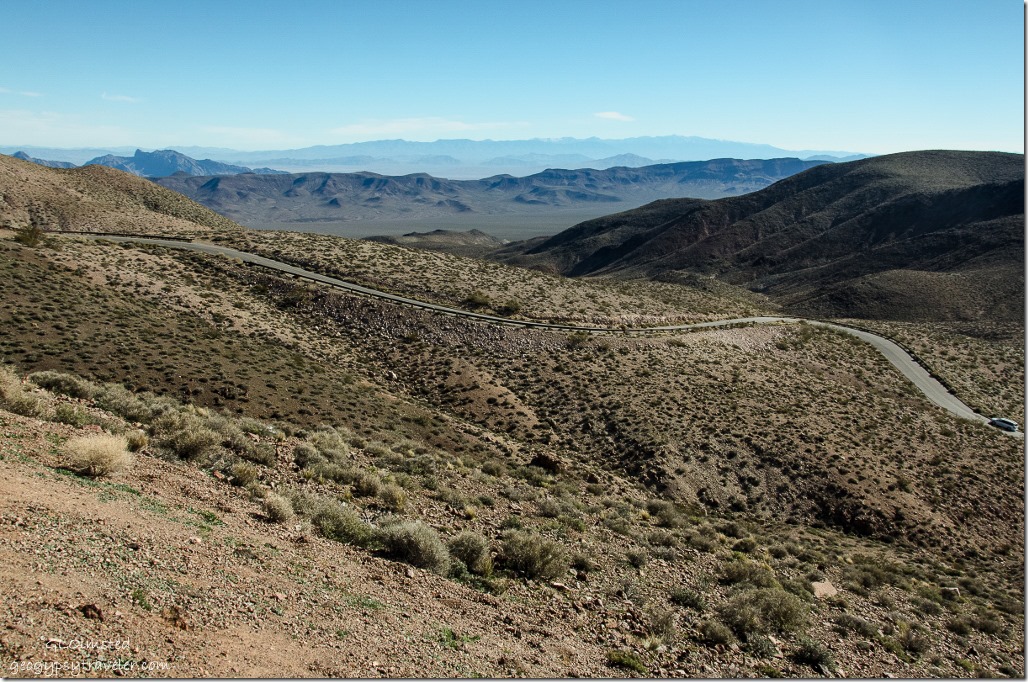
Road to Dante's View Death Valley National Park CaliforniaThen back down the road we went.

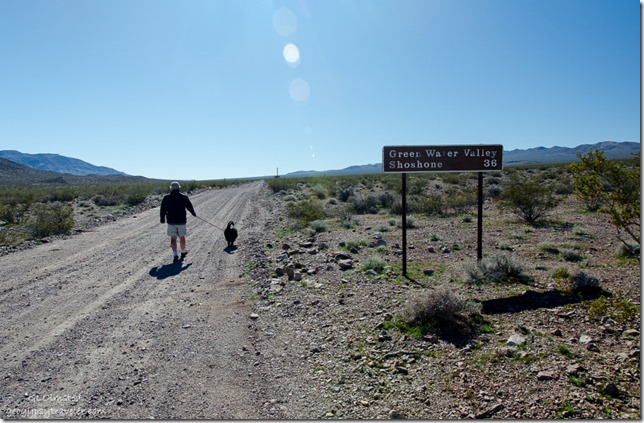
Bill & Sasha Greenwater Valley Road Death Valley National Park CaliforniaMade a stop to take Sasha for a walk on the gravel Greenwater Valley Road.  One of few places in the park where dog walking is allowed.  Although the road was signed for high clearance 4×4 the part we walked looked doable by any vehicle and could be an interesting route to Shoshone.  Especially with the southeastern entrance into the park currently closed due to flood damage.  You can also boondock along this road one mile beyond the paved junction.  Something to consider if trying to escape summer heat in the valley.

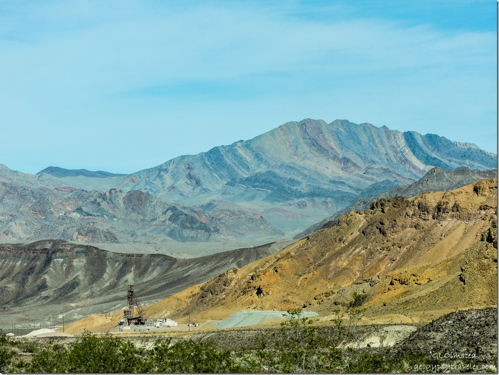
Mine Dante's View Road Death Valley National Park CaliforniaThe lower section of the road to Dante’s View parallels the park boundary and evidence of mining is visible along the way.  What a rough country to work and live in.  Note the tipped and curved layers of rock in the distant mountains.

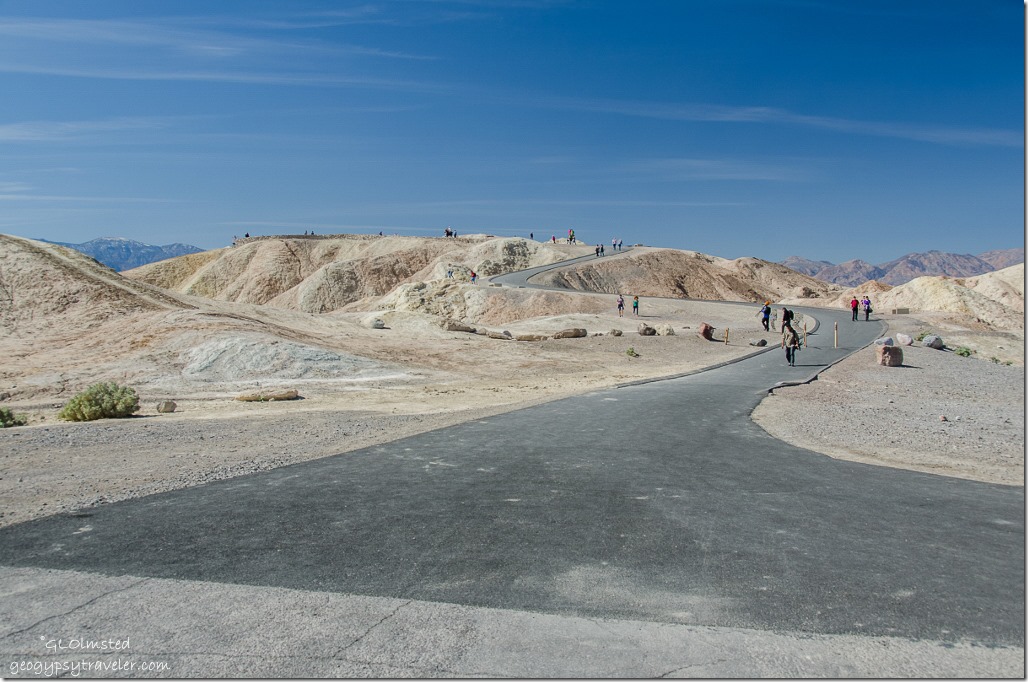
People Zabriskie Point trail Death Valley National Park CaliforniaNext stop Zabrisikie Point, 100 yards from the parking lot the paved trail funnels visitors to known features and overlooks.

Zabriskie Point Death Valley National Park California

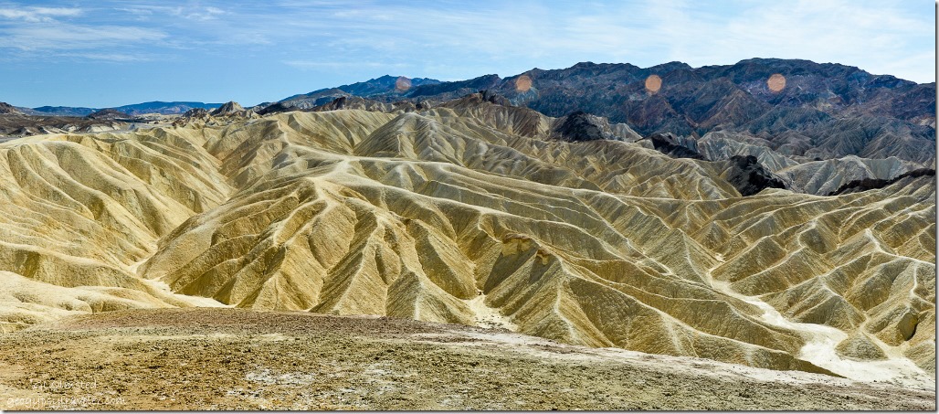
Zabriskie Point Death Valley National Park CaliforniaPanorama shot with multiple sun-spots

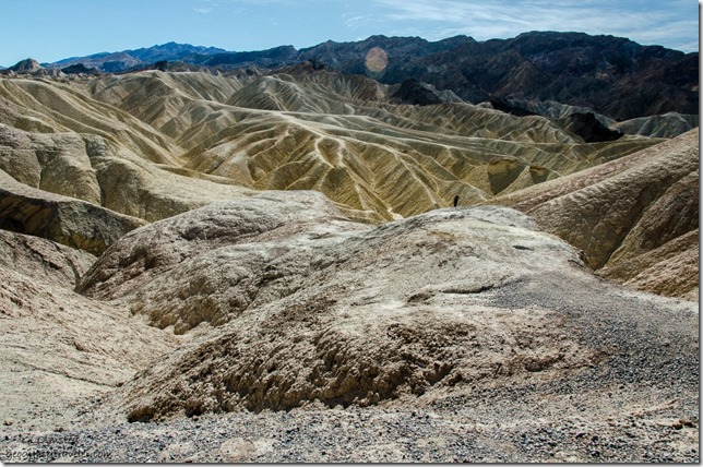
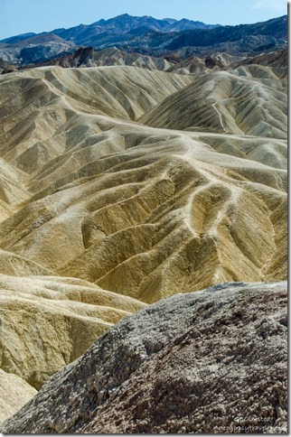
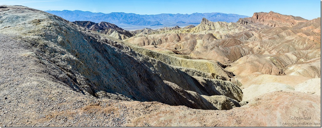
The badlands, with trails wandering in all directions.  Erosion is one of the best tools for sculpting the earth, water, wind, and us.


Zabriskie Point Death Valley National Park California


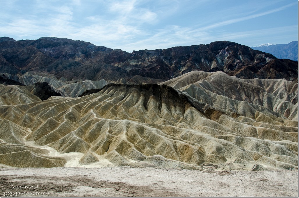
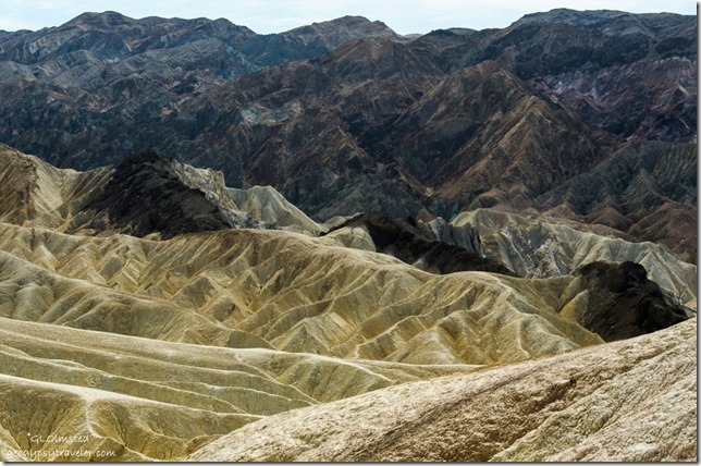
The almost other worldly landscape seen at Zabriskie Point is part of the Amargosa Range on the east side of Death Valley.  However, about 9-5mya lakes filled a long, mountain filled valley here.  Fine silt and volcanic ash washed into the lakes, settling to the bottom, and ultimately creating a thick deposit of clay, sandstone and siltstone called the Furnace Creek Formation.  Due to change in climate the lakes dried.  The primary source of borate minerals gathered from Death Valley is from this 5000 feet (1500 m) thick formation.


Zabriskie Point Death Valley National Park CaliforniaThe dark-colored material capping the badland ridges is lava from eruptions that occurred 3-5mya.  The layers are constantly being tilted by seismic activity and pressure, uplifted and eroded.

Zabriskie Point Death Valley National Park CaliforniaImagine what it looks like here during a gully washer.  The folds look like ripples of satin to me.

View West Zabriskie Point Death Valley National Park CaliforniaNo surprise this location was used in movie making.  One 1970 counterculture film named after the iconic overlook is not highly acclaimed yet the soundtrack features music by Pink Floyd, The Rolling Stones, Jerry Garcia and more so can’t be all bad.

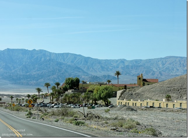
Furnace Creek Inn Death Valley National Park CaliforniaThe overlook was named after Christian Zabriskie, vice-president and general manager of the Pacific Coast Borax Company in the early 1900s.  The company’s twenty-mule teams were used to transport borax from its mining operations in Death Valley until the 1920s when borax was in low demand.  So the company looked for other uses for their land and opened Furnace Creek Inn in 1927.  They then initiated  for protection of Death Valley which became a National Monument in 1933 and a National Park in 1994.

Hwy 190 Death Valley National Park CaliforniaFrom Zabriskie Point we drove past Furnace Creek Inn then north through the flowers to hike in Titus Canyon Narrows.

Push my buttons!

  • Facebook
  • Twitter
  • LinkedIn

Like this:

Like Loading...
California, Death Valley National Park, National Parks and Monuments Dante's View, Death Valley, Zabriskie Point 22 Comments
← Older posts
Newer posts →

Hi, I’m Gaelyn, the Geogypsy

I retired after 29 summer seasons as a Park Ranger, traveling solo for 40+ years. My passions include travel, connecting to nature, photography, and sharing stories.

I started exploring US National Parks in 1977 and 20 years later became a seasonal Park Ranger.  I’ve lived full-time in a RV for 30 years working summers and playing winters.  I’m still trying to figure out what I want to be when I grow old, other than grow up.

Let’s share our stories.  Here’s more of mine…

My wheeleastate

I am currently…

…boondocking somewhere in southern Arizona.  In the area, give a shout.

Geogypsytraveler on YouTube

Follow my journey on YouTube. Just click the pic. Hope you’ll like, share, and subscribe.

Click image for 7 minute documentary (Password “geogypsy” lowercase)

Making the Gypsy documentary is a story of its own.  Click below for the rest of the story.

Living nomadically & connecting to nature documentary

Subscribe to Blog via Email

Enter your email address to subscribe to this blog and receive notifications of new posts by email.

Photos available for sale include prints, greeting cards, coffee mugs, tote bags, phone cases and more

Reflected Wave 24X16 metal print under $100

Custom Coffee Mugs

Many items to choose from including prints

The Last Blast 24 x 16″ metal print under $100

Need a signal boost? When I boondock on public lands sometimes signal is weak or intermittent and a booster helps. Click the pic to visit WeBoost.

Connecting to nature and the rest of the world too.

Please contact me for photo purchases not seen at GLOlmsted Photography

Order fulfillment is by Fine Art America. If you’re not happy with your purchase, for any reason, simply return it within 30 days, and you’ll receive a full refund of the purchase price.

Why read Geogypsy?

The gypsy life spring-summer 1998 - "You were a real pioneer. RV'ing before it was cool." ...Yogi

How do you process photos? - “Your photographs create an Emotional feeling in the viewer...that they become One with You.” …Cindy

Life’s transitions between travel and work play - "I know you love your job as much as you love travel -- it shines through all your posts." ...Sallie

Lions at Kruger National Park - “Wonderful post, thank you. I was hooked start to finish!” … Peter B

11 lessons looking back 2013 - “A great post -- made me think, made me smile, made me want to cry." ...Sallie

Wildlife video Kruger National Park - “Gorgeous, this makes me want to go straight to South Africa now.” … Ayngelina

Living nomadically & connecting to nature documentary - “What an experience you had and gave to the "crew." Sometimes I think you don't realize how unique and inspiring you are.” …Alan

Search

Popular Posts

1. Prioritize the well-being of nature over photography. 2. Educate yourself about the places you photograph. 3. Reflect on the possible impact of your actions. 4. Use discretion if sharing locations. 5. Know and follow rules and regulations. 6. Always follow Leave No Trace principles and strive to leave places better than you found them. 7. Actively promote and educate others about these principles

Categories

Archives

Sites I follow, read & recommend

  • A Full-time Life
  • A Yankee in Belgrade
  • Bob's Eyes
  • Box Canyon Blog
  • Camels and Chocolate
  • Dawns bloggy blog
  • In the Direction of Our Dreams
  • Jane in her infinite wisdom
  • Janie and Steve, Utah Trails
  • Kathie's Birds
  • Las Adventuras
  • Memorable Meanders
  • Oh, The Places They Go
  • On the Road Abode
  • Port Elizabeth Daily Photo
  • Stillhowlyntravels
  • Take to the Highway
  • Technomadia
  • the good luck Duck
  • Travel with the Bayfield Bunch
  • Wandering Earl
  • Wheeling It
  • Yogi's Den

Caught in a Slot 9×12 canvas print under $50

If you don’t like what’s going on in your government, contact your Congress

Directory of Senators

Directory of Representatives

Lijit

© Copyright 2008-2024. Geogypsytraveler.com
%d