 We really tried to get an early start, or at least earlier than usual. Yet it’s an 1 1/2 hour drive from Kanab to the Wire Pass Trailhead, Utah is an hour later than Arizona, and it’s my day off. But Bill and I were determined to hike to The Wave.
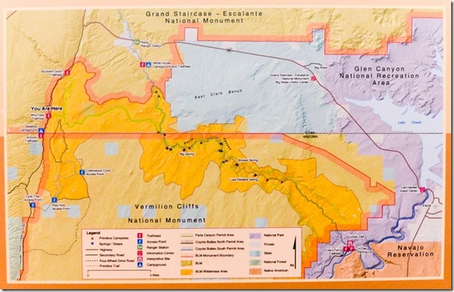 When you receive one of the 20 permits issued daily to enter Paria Canyon-Vermilion Cliffs Wilderness you go through an orientation with a BLM Ranger that takes place in the Kanab Visitor Center. This includes a safety talk and a map with photos directing you to The Wave. Bill volunteers with BLM and patrols the area that includes Coyote Buttes North and took me in for an unofficial orientation. We were given the map and he wanted me to lead the way in by their method as I’d never been there before. So I was there for safety and to test the material for ease of use. Which I did and found it easy to identify the landmarks.
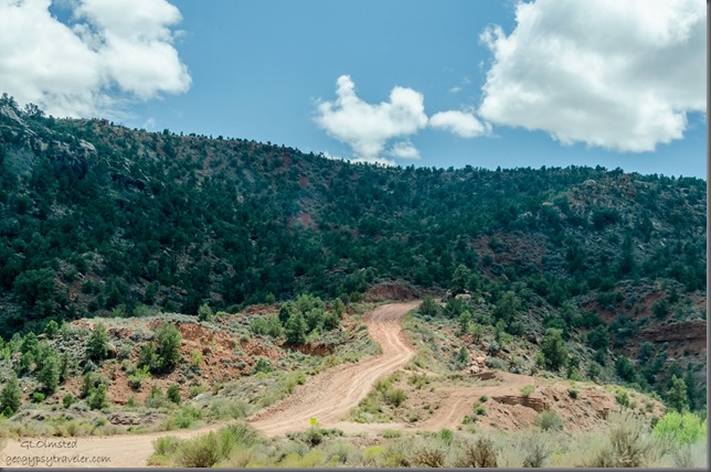
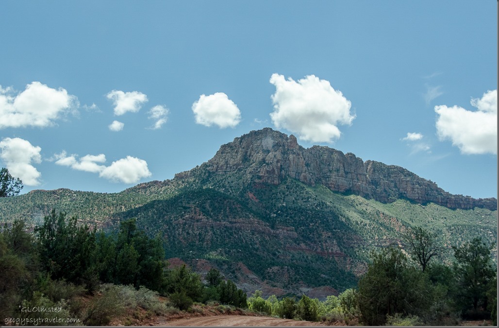
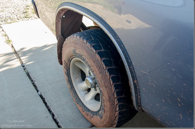
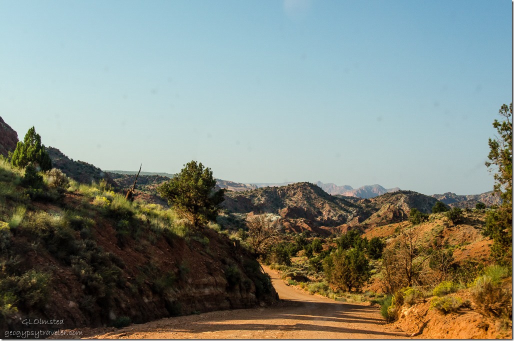 The 8 mile drive from SR89 on the gravel House Rock Valley Road, BLM Rd 1065, is a delight winding past the Cockscomb to the Wire Pass Trailhead. However, 4×4 with high clearance is suggested and after rain or snow the road may be impassable. For us it was in decent shape except for the Buckskin crossing which was a deep damp dip that Bill’s 4×4 handled with ease.
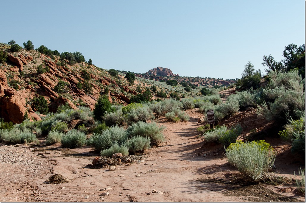
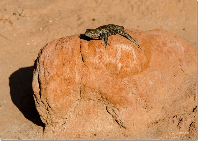 We started from the Wire Pass Trailhead 1/2 mile down Coyote Wash to the Coyote Buttes North trail, an easy walk with collared lizard pointers along the way.
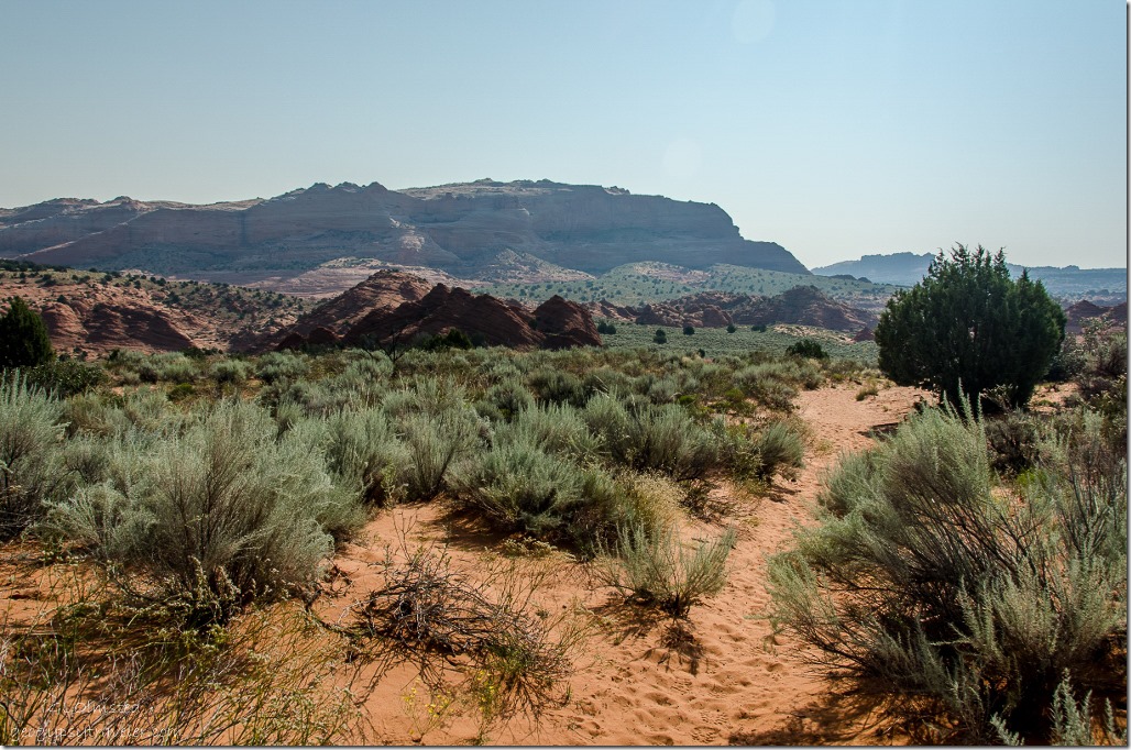
 Up a hill and across a sandy plain I looked for the first landmark of a sandstone ridge with a small saddle.
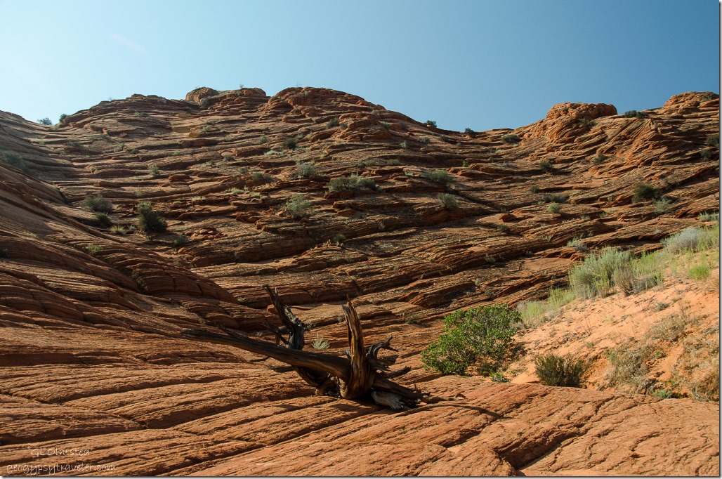 From there we walked across slick rock making our own path. That’s nice because of the reduced impact from a specified trail.
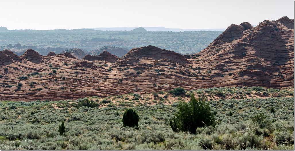
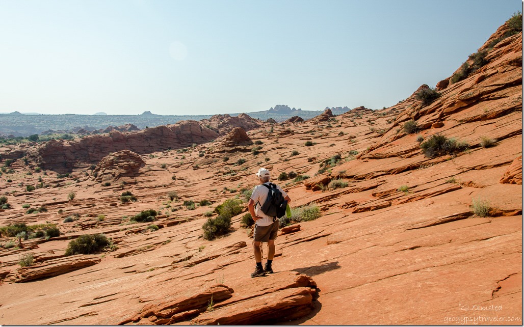 Once we crossed the saddle the Teepees could be seen in the far distance as our next landmark (far horizon just right of center). The entire landscape beckoned me to wander into.
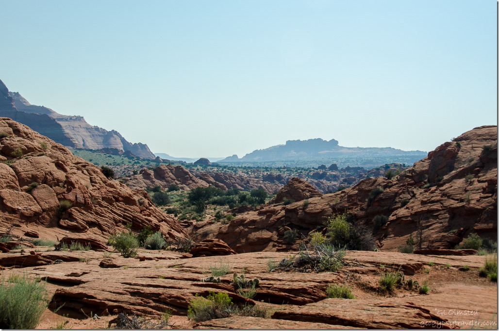 Yet it was equally important to look behind and note landmarks for the return hike.
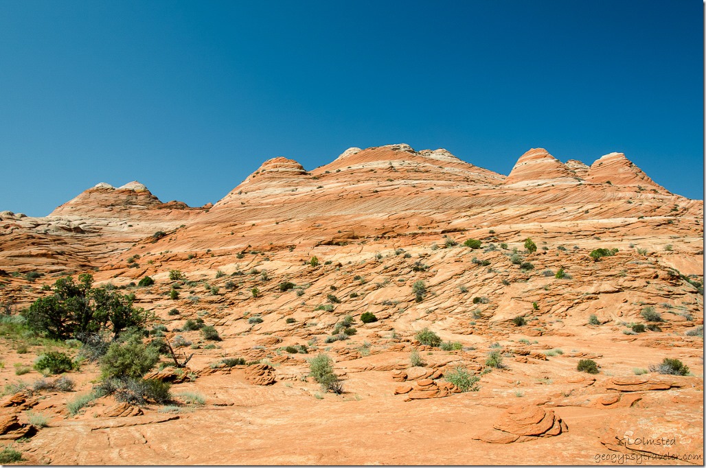 We followed at the base of a sandstone cliff on our right as instructed.
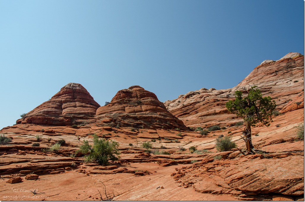 The next landmark was Twin Buttes which we hiked to the right of.
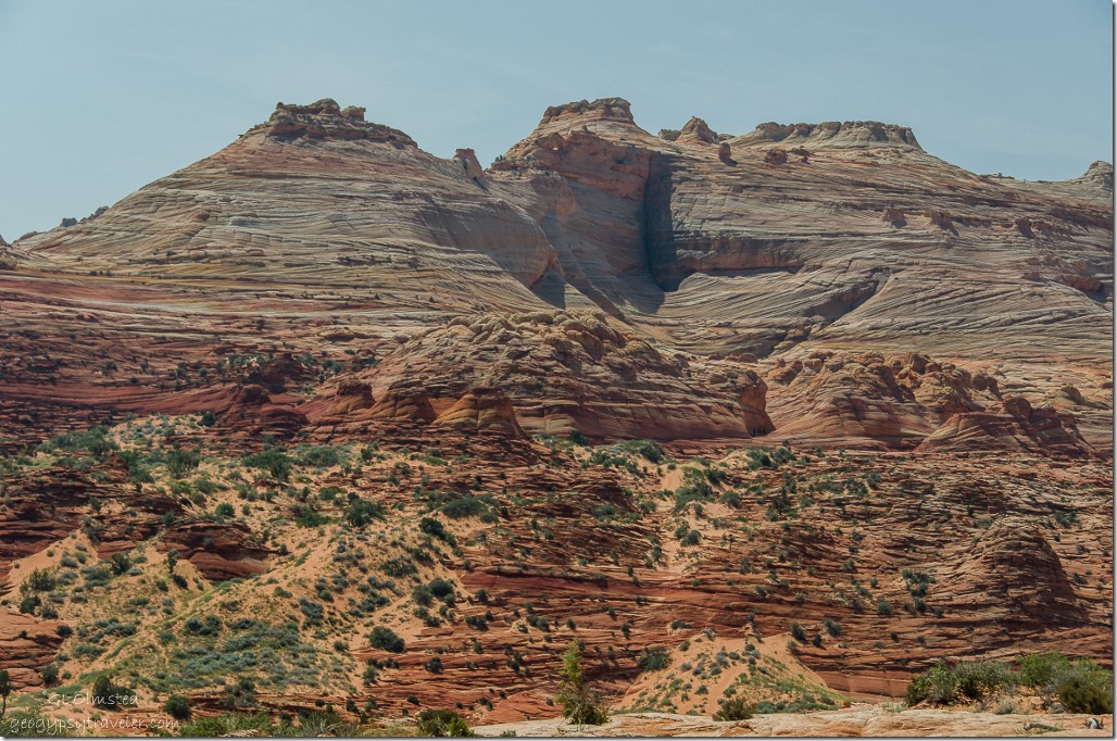
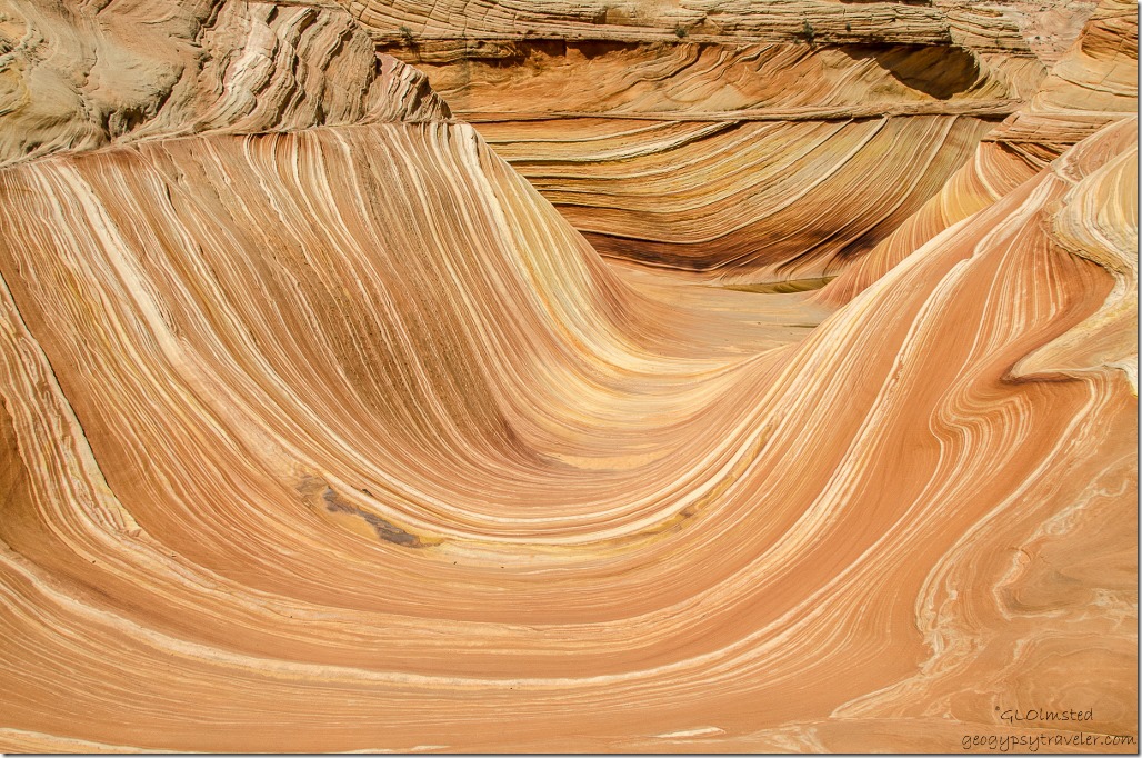
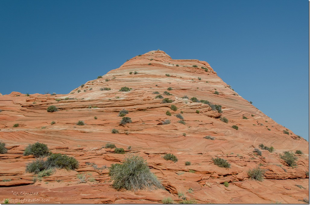 Surrounded by Navajo Sandstone, 200 million year old sand dunes, with surreal swirls of sandstone in multicolored hues of red, pink, orange, maroon, white and yellow displayed the cross patterns of bedding planes. The spectacular ribbons of various colors called Liesegang bands, were formed by movement and precipitation of oxidizing minerals such as iron and manganese by ground water. Thin veins of calcite cut across the sandstone, adding another dimension to the landscape. Everything around us was breathtaking.
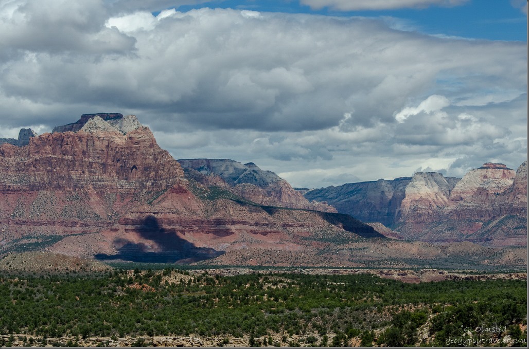
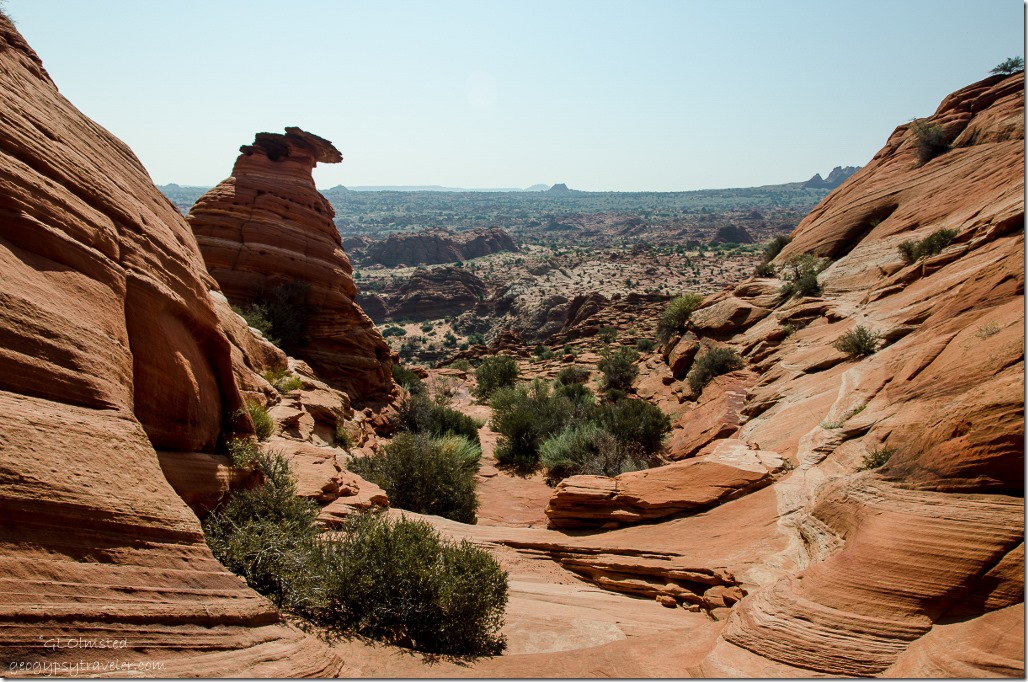 Coming down from Twin Buttes the landscape spread out in front of us.
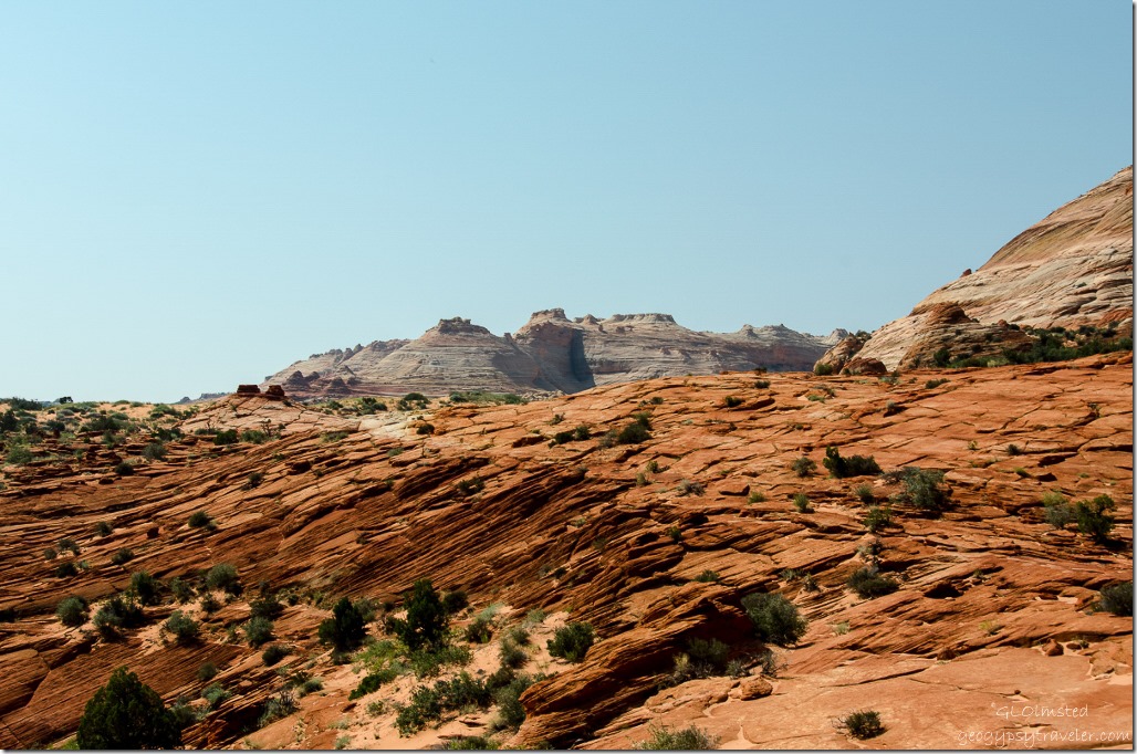 Next the vertical crevice in the white formation in the distance was a long-range navigation point. The Wave is located just beneath this crevice.
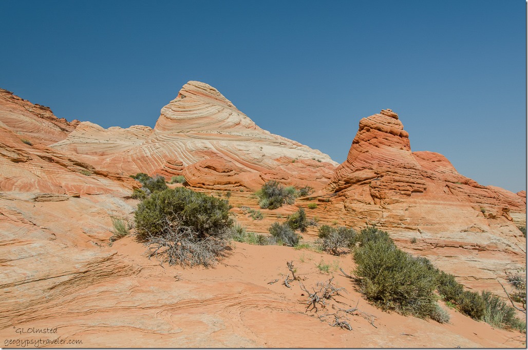 More gorgeous sandstone everywhere along the way. By now we’d crossed from Utah into Arizona, I’d taken 100s of photos and had to use a second 16GB mem card.
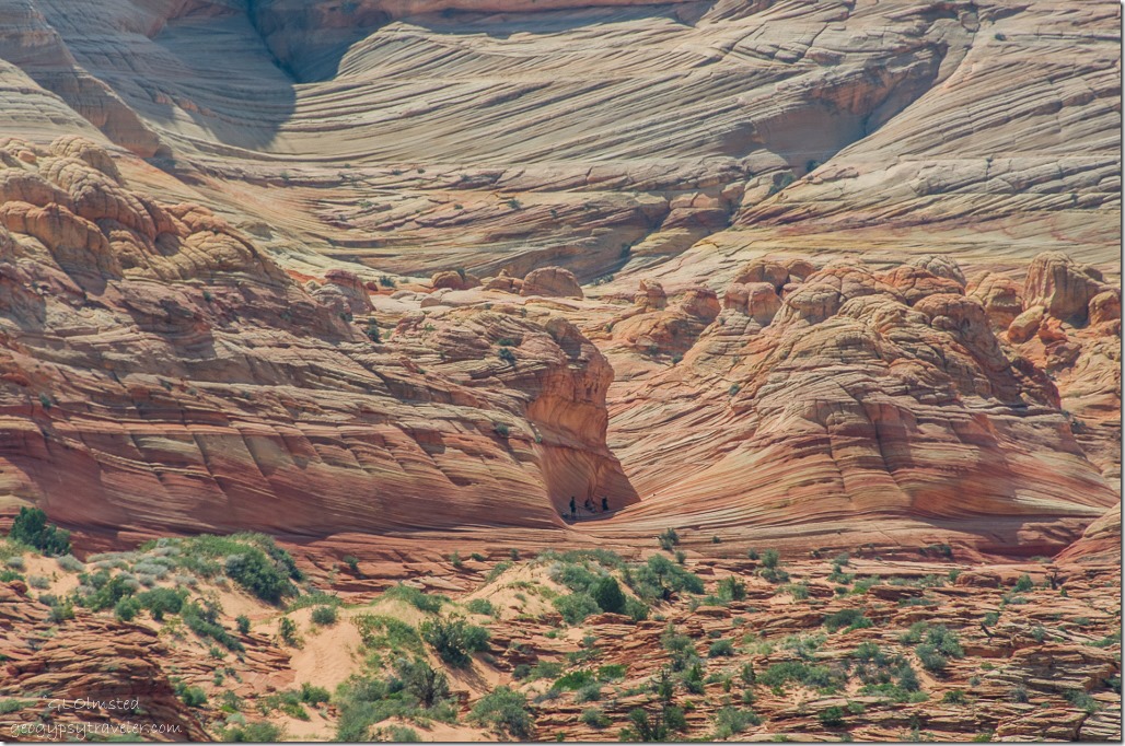 Finally we could see the gap between two small sand dunes we needed to climb and people in The Wave far away. Well we could see it through the zoom lens anyway.
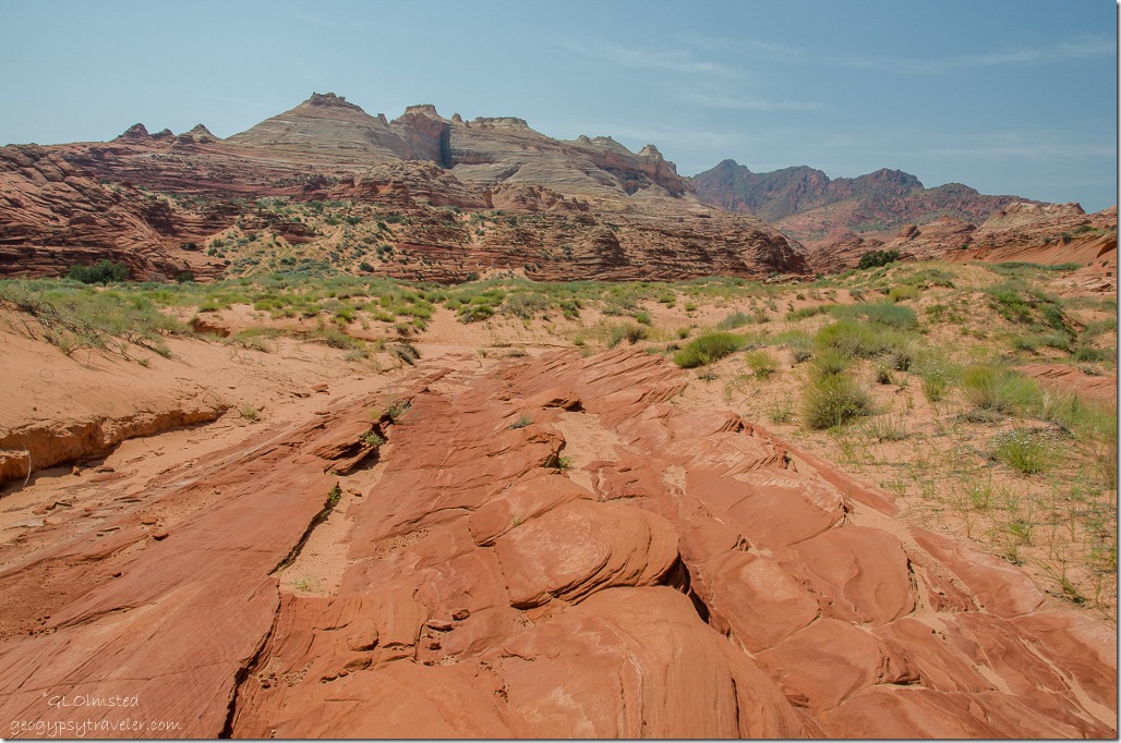 But we still had to cross Sand Cove Wash to the base of a steep sandy hill.
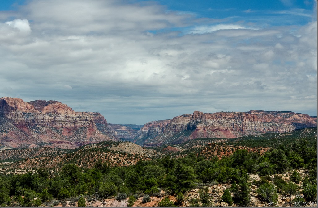
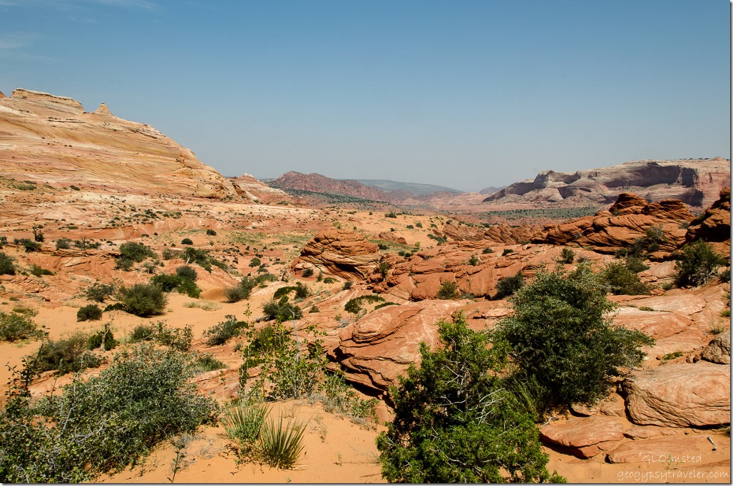 What an amazing view from where we’d hiked. And I led us there without getting lost.
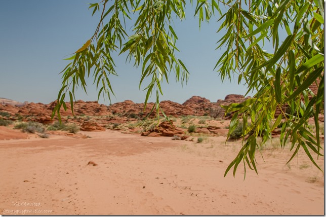 We’d left Wire Pass Trailhead at 9:15am and arrived at The Wave around 11:45. It was a hot 3.2 mile hike with limited shade. One large lovely willow in Sand Cove Wash provided us respite before the last big climb to The Wave.

