• Home
  • About Geogypsy
    • Herstory
    • Parks where I’ve worked
  • Places I’ve been
    • United States
      • Arizona
        • Antelope Slot Canyon
        • Casa Grande Ruins National Monument
        • Colossal Cave Mountain Park
        • Flagstaff
        • Glen Canyon National Recreation Area
        • Grand Canyon National Park
          • Grand Canyon National Park North Rim
          • Grand Canyon National Park South Rim
          • Toroweap
        • Havasu Canyon
        • Horseshoe Bend
        • Jerome
        • Kaibab National Forest
        • Lee’s Ferry
        • Meteor Crater
        • Navajo Bridge
        • Oak Creek Canyon
        • Painted Desert
        • Pipe Springs National Monument
        • Prescott
        • Quartzsite
        • Saguaro National Park
        • Sedona
        • Sunset Crater Volcano National Monument
        • Vermilion Cliffs
        • Walnut Canyon National Monument
        • Wupatki National Monument
        • Yarnell
      • California
        • Anzaberrego
        • Bakersfield
        • Death Valley National Park
        • Joshua Tree National Park
        • Redwoods NP
        • Salton Sea
        • Yucca Valley
      • Colorado
        • Mesa Verde National Park
      • Florida
      • Illinois
        • IL River
        • Morton Arboretum
        • Starved Rock State Park
      • Michigan
      • Nevada
      • New Mexico
      • Oregon
        • Crater Lake NP
        • Mt Hood
        • Oregon Caves National Monument
      • Texas
        • Alpine Texas
        • Padre Island
        • Port Isabel
        • Rio Grande Valley
      • Utah
        • Brian’s Head
        • Bryce Canyon National Park
        • Buckskin Gulch
        • Cedar Breaks National Monument
        • Cedar City
        • Coral Pink Sand Dunes State Park
        • Dixie National Forest
        • Grand Staircase Escalante National Monument
        • Johnson Canyon
        • Kanab
    • World Travels
      • Germany
      • Mexico
      • South Africa
  • Tours
  • Photography
  • Work with Me
    • Sponsors
  • Contact
Geogypsy
Menu
  • Home
  • About Geogypsy
    • Herstory
    • Parks where I’ve worked
  • Places I’ve been
    • United States
      • Arizona
        • Antelope Slot Canyon
        • Casa Grande Ruins National Monument
        • Colossal Cave Mountain Park
        • Flagstaff
        • Glen Canyon National Recreation Area
        • Grand Canyon National Park
          • Grand Canyon National Park North Rim
          • Grand Canyon National Park South Rim
          • Toroweap
        • Havasu Canyon
        • Horseshoe Bend
        • Jerome
        • Kaibab National Forest
        • Lee’s Ferry
        • Meteor Crater
        • Navajo Bridge
        • Oak Creek Canyon
        • Painted Desert
        • Pipe Springs National Monument
        • Prescott
        • Quartzsite
        • Saguaro National Park
        • Sedona
        • Sunset Crater Volcano National Monument
        • Vermilion Cliffs
        • Walnut Canyon National Monument
        • Wupatki National Monument
        • Yarnell
      • California
        • Anzaberrego
        • Bakersfield
        • Death Valley National Park
        • Joshua Tree National Park
        • Redwoods NP
        • Salton Sea
        • Yucca Valley
      • Colorado
        • Mesa Verde National Park
      • Florida
      • Illinois
        • IL River
        • Morton Arboretum
        • Starved Rock State Park
      • Michigan
      • Nevada
      • New Mexico
      • Oregon
        • Crater Lake NP
        • Mt Hood
        • Oregon Caves National Monument
      • Texas
        • Alpine Texas
        • Padre Island
        • Port Isabel
        • Rio Grande Valley
      • Utah
        • Brian’s Head
        • Bryce Canyon National Park
        • Buckskin Gulch
        • Cedar Breaks National Monument
        • Cedar City
        • Coral Pink Sand Dunes State Park
        • Dixie National Forest
        • Grand Staircase Escalante National Monument
        • Johnson Canyon
        • Kanab
    • World Travels
      • Germany
      • Mexico
      • South Africa
  • Tours
  • Photography
  • Work with Me
    • Sponsors
  • Contact

Category: Places I’ve been

17 August 2015

Hiking upper Buckskin Canyon

I’ve hiked a couple times maybe 2-3 miles in a slot of Buckskin Canyon south from Wire Pass so it was interesting to see a more open part of the canyon in upper Buckskin Canyon.
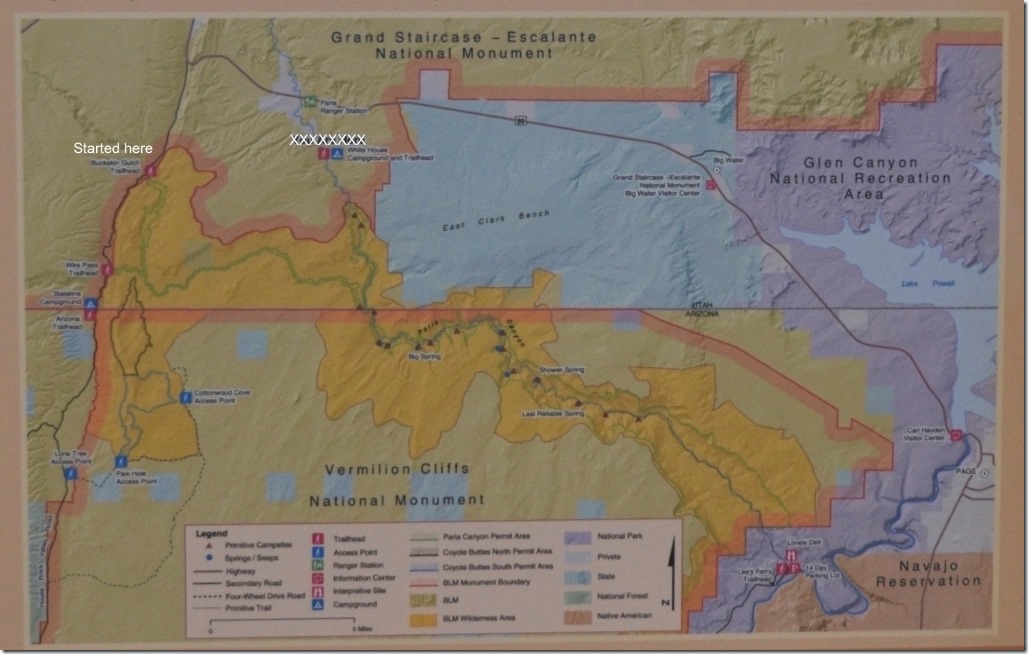
BLM map Buckskin Canyon, Paria Canyon to Lees Ferry Utah and ArizonaThe Paria Canyon/Vermilion Cliffs Wilderness Area requires one of three kinds of permits: day use, advanced day use and overnight use.  After 16 miles Buckskin Canyon joins Paria Canyon for an almost 40 mile hike to Lee’s Ferry in Glen Canyon National Recreation Area.
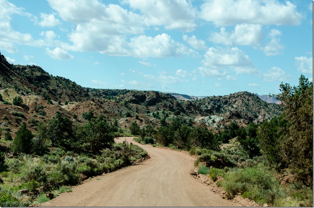
House Rock Valley Road Grand Staircase Escalante National Monument UtahAccess by House Rock Valley Road south from SR89 can be a bit rough after rains.   When we arrived at the upper Buckskin Canyon parking we saw the was a fee of $6/person and $6 for the dog.
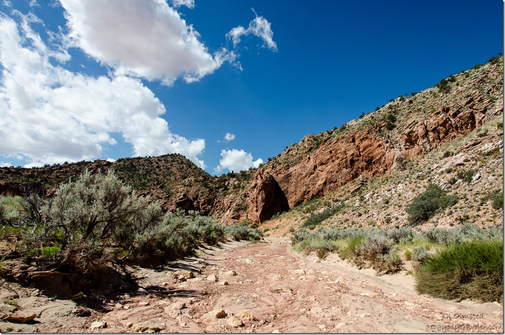
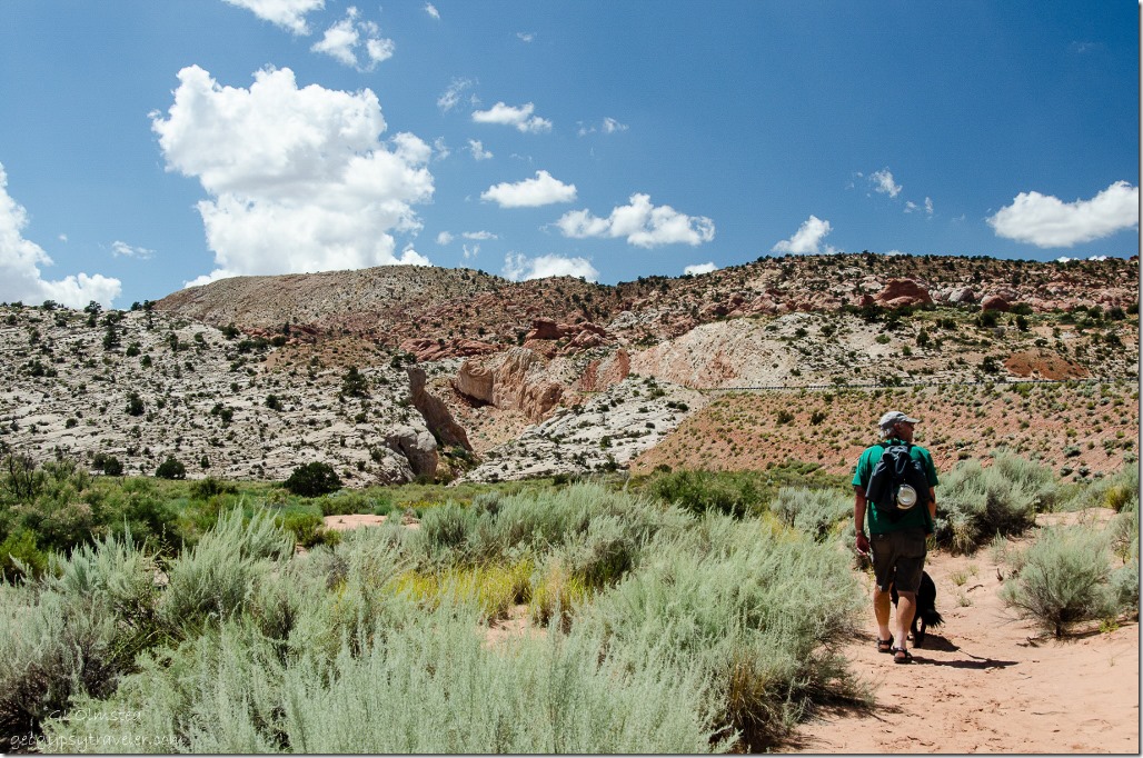
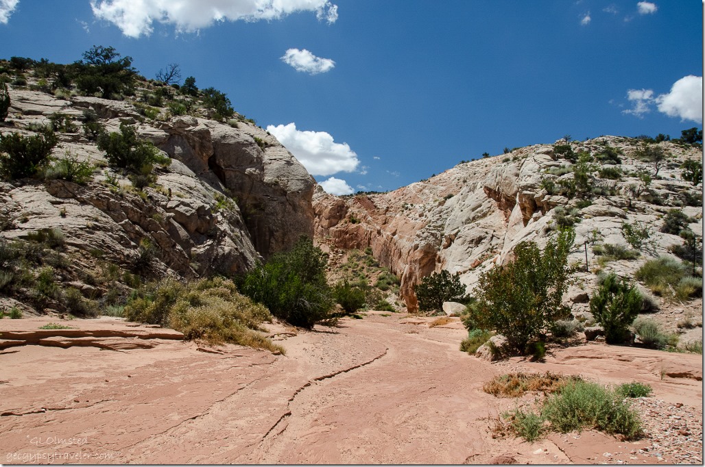
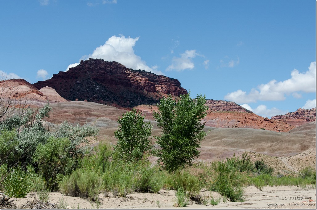
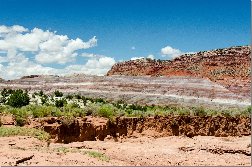
Upper Buckskin Gulch Paria Canyon/Vermilion Cliffs Wilderness area UtahYou can walk on a low bench through the vegetation or in the wash as we chose to do.
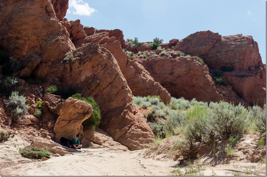
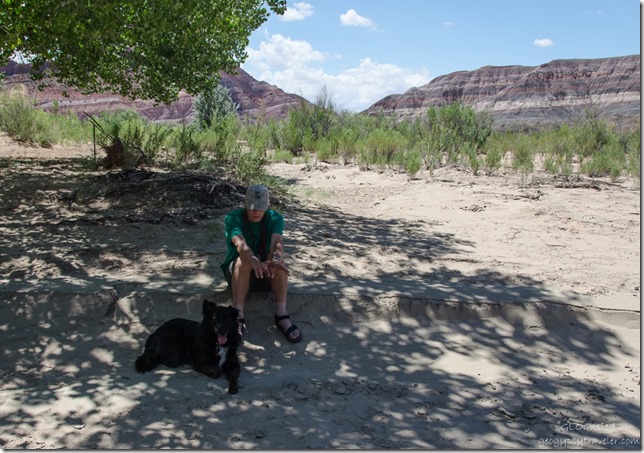
Bill & Sasha Upper Buckskin Gulch Paria Canyon/Vermilion Cliffs Wilderness area UtahBecause it was already pretty warm by 11am (we don’t seem to get very early starts) Bill and Sasha stopped in shade while I lollygagged along taking photos, many hundreds of photos, of this picturesque landscape.
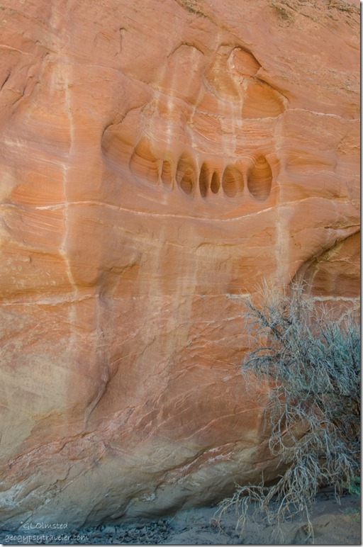
Erosion on sandstone walls Upper Buckskin Gulch Paria Canyon/Vermilion Cliffs Wilderness area Utah

Sandstone cliffs Upper Buckskin Gulch Paria Canyon/Vermilion Cliffs Wilderness area Utah

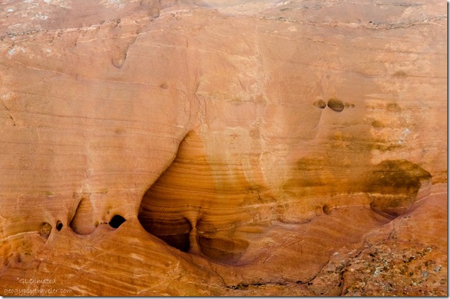
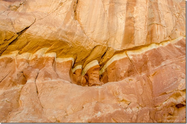
Erosion on sandstone walls Upper Buckskin Gulch Paria Canyon/Vermilion Cliffs Wilderness area UtahI see so much sculpture in the sandstone walls.  The power of water is amazing.  Do you see the silhouette of two people wrapped in a blanket above?
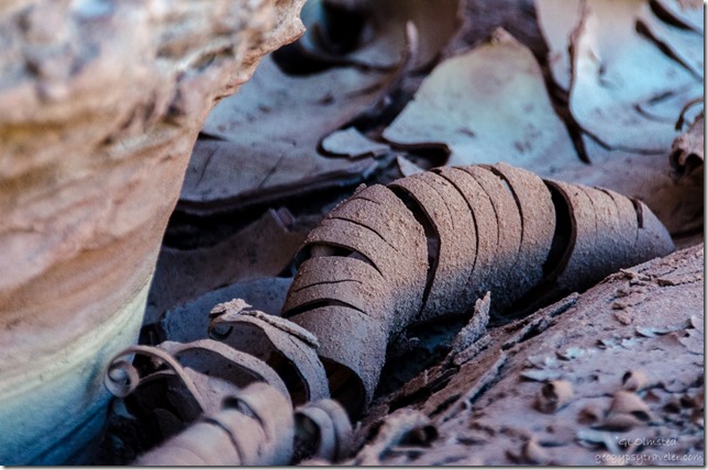
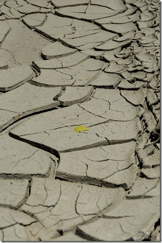
Curled cracked mud Upper Buckskin Gulch Paria Canyon/Vermilion Cliffs Wilderness area UtahAnd evidence of recent water left behind.
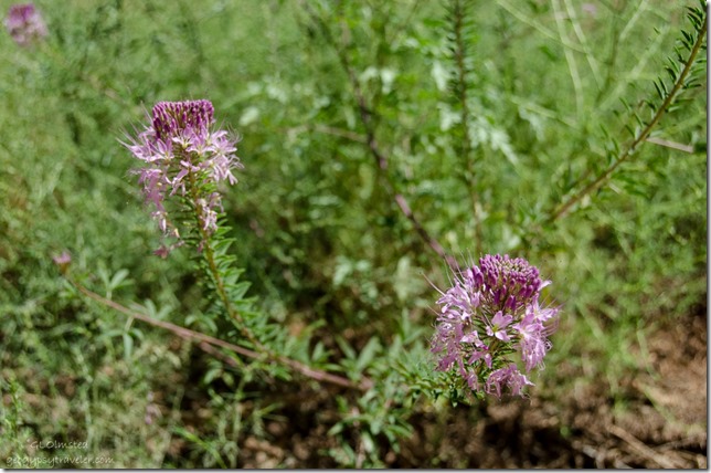
Bee plant Upper Buckskin Gulch Paria Canyon/Vermilion Cliffs Wilderness area UtahBee plant grew along the wash, once used by Natives as a binder mixed with ground minerals to make paint/glaze.
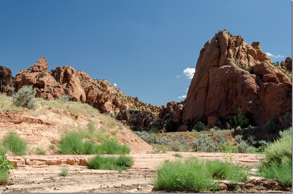
Upper Buckskin Gulch Paria Canyon/Vermilion Cliffs Wilderness area UtahWe only saw one couple on the trail and stopped to chat.  He was obsessively searching for some feature known as Edmaier’s Secret to the point he didn’t even notice the beauty around him.  He’d seen some YouTube video of getting to this mystery site with a fence for a marker.  Well there are fences all over the place here.  This is BLM (Bureau of Land Management/Bureau of Livestock and Mining) and cattle graze all over the place.  Besides, it’s a secret.
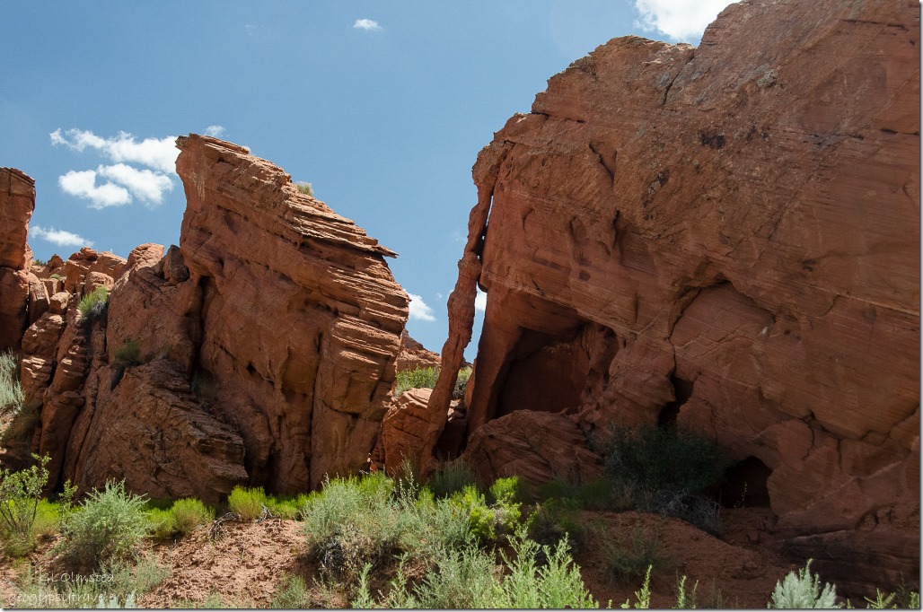
Arch Upper Buckskin Gulch Paria Canyon/Vermilion Cliffs Wilderness area UtahWe may have found it but it really wouldn’t make any difference as everywhere I looked was beautiful.
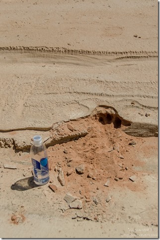
Possible cat track Upper Buckskin Gulch Paria Canyon/Vermilion Cliffs Wilderness area UtahMaybe a cat track in the sand?

Sasha by sandstone fins Upper Buckskin Gulch Paria Canyon/Vermilion Cliffs Wilderness area Utah

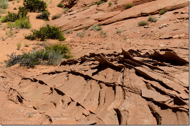
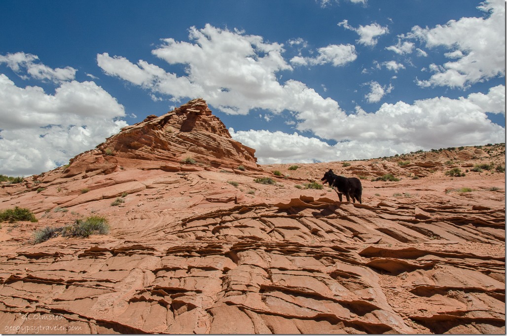
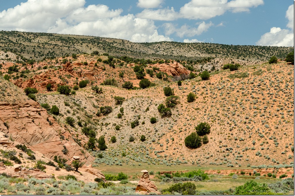
Sandstone fins Upper Buckskin Gulch Paria Canyon/Vermilion Cliffs Wilderness area Utah After seeing a fence along the left side of the wash we took a side trip.  We climbed through the barbwire, clambered over 300 feet of soft rolling sand dunes onto slick rock with sharp fins of harder sandstone.
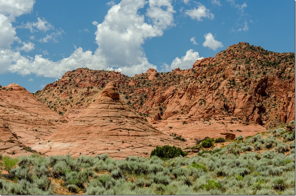
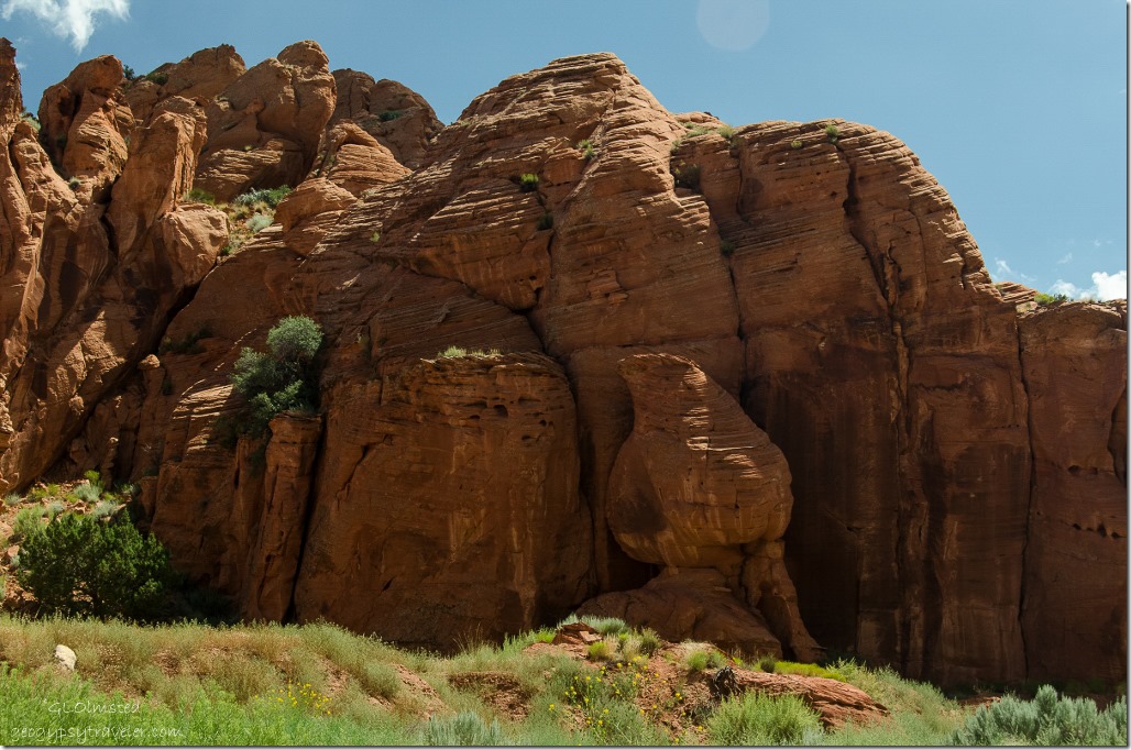
Teepee rock Upper Buckskin Gulch Paria Canyon/Vermilion Cliffs Wilderness area UtahI could have just walked into this landscape for hours, or even days.  We talked about an overnight backpack to just lay on the rock and watch the stars.
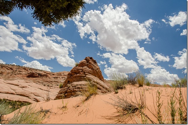
Dunes & sandstone formation Upper Buckskin Gulch Paria Canyon/Vermilion Cliffs Wilderness area UtahFound a large juniper tree and hid in its shade for lunch.
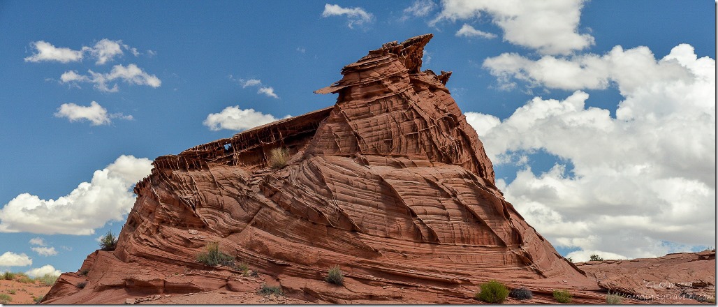
Sandstone formation Upper Buckskin Gulch Paria Canyon/Vermilion Cliffs Wilderness area Utah

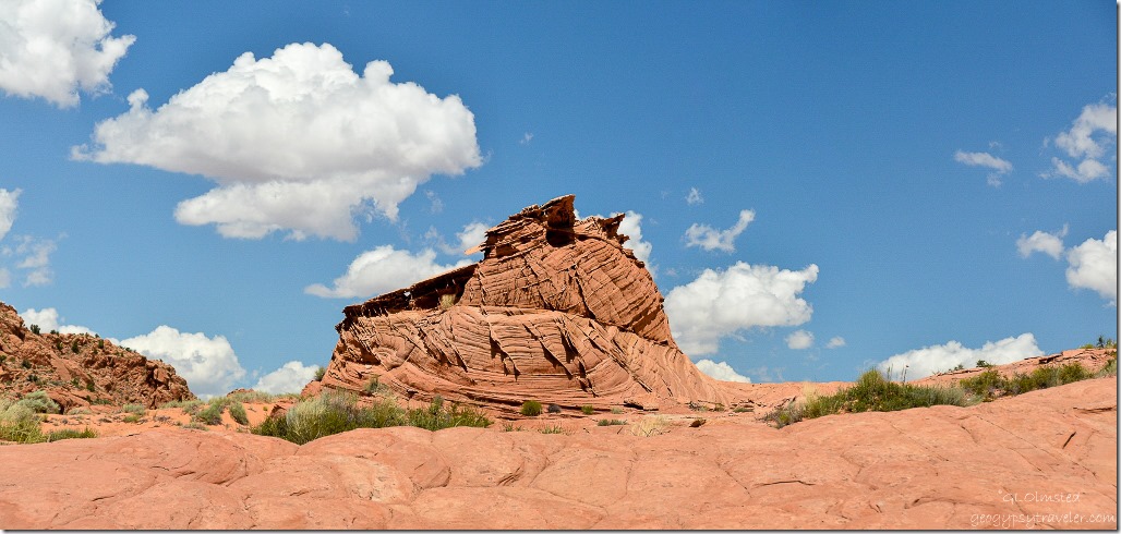
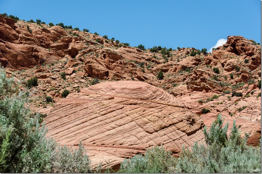
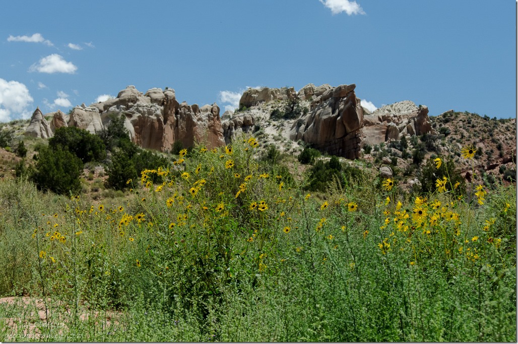
Sandstone formation Upper Buckskin Gulch Paria Canyon/Vermilion Cliffs Wilderness area UtahThis one giant shape entranced me.  Such artistic shapes and textures formed by ancient sand dunes, water and wind.
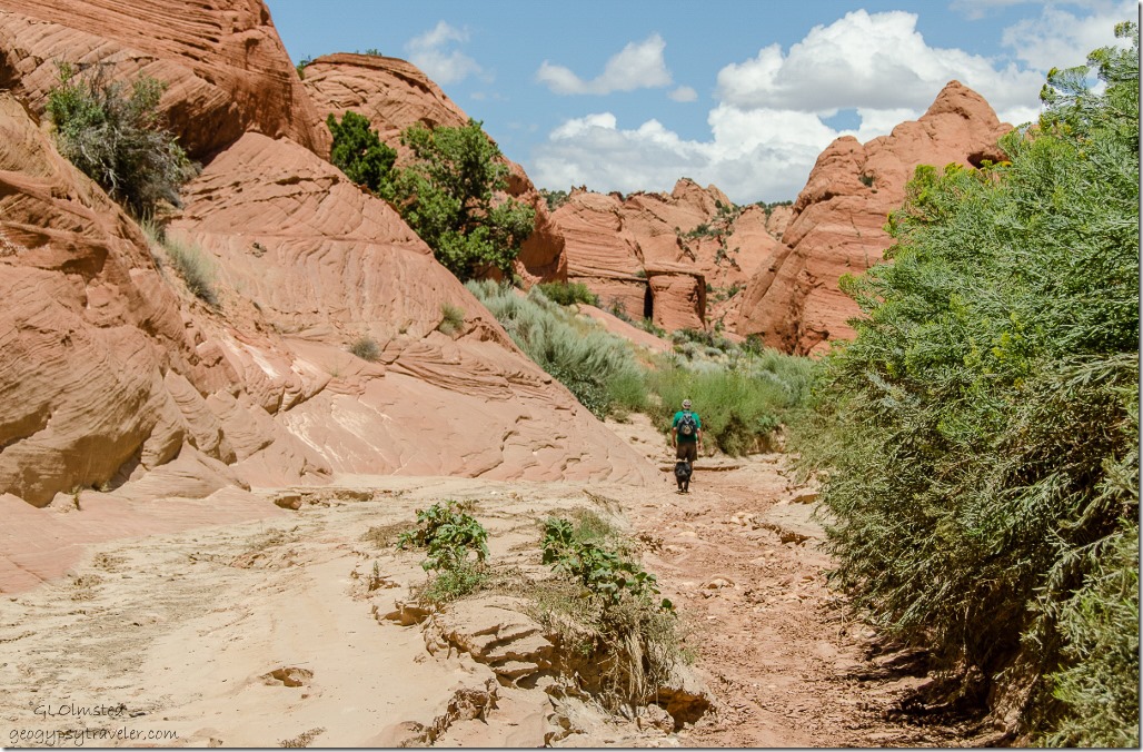
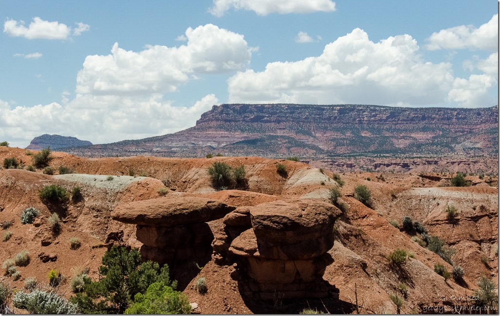
Toadstool Upper Buckskin Gulch Paria Canyon/Vermilion Cliffs Wilderness area Utah

Upper Buckskin Gulch Paria Canyon/Vermilion Cliffs Wilderness area UtahBy 2pm the temperature had increased noticeably and the sand and stone was getting hot so after lunch we hurried back to the wash to get Sasha on cooler ground with shade options.
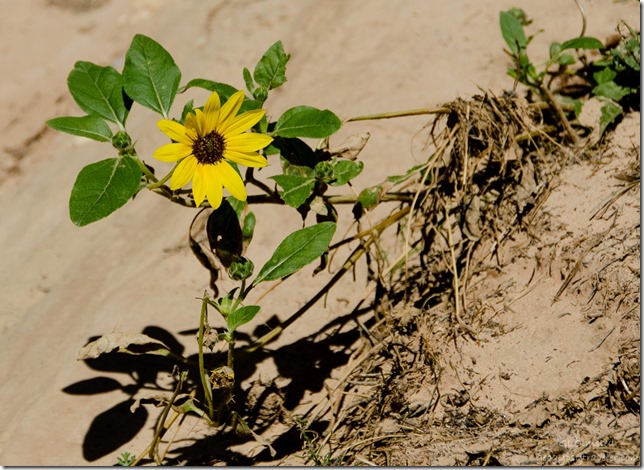
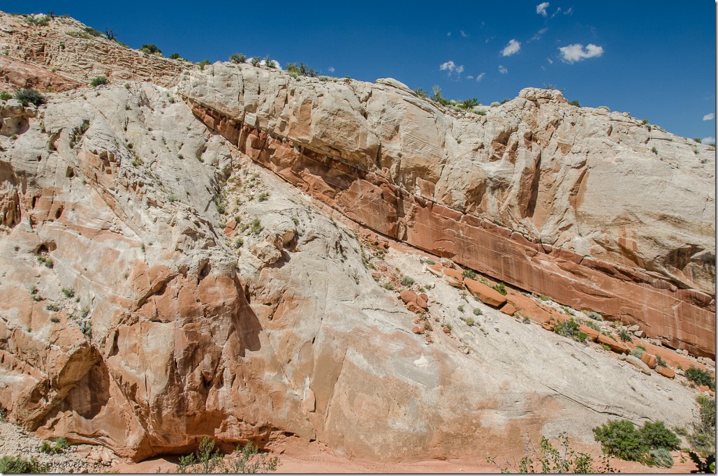
Bedding planes Upper Buckskin Gulch Paria Canyon/Vermilion Cliffs Wilderness area Utah

Daisy Upper Buckskin Gulch Paria Canyon/Vermilion Cliffs Wilderness area UtahWe hoofed it back at a little faster pace but of course I still took photos along the way.
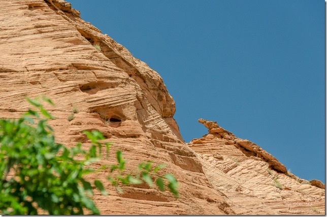
Sandstone formation Upper Buckskin Gulch Paria Canyon/Vermilion Cliffs Wilderness area UtahAlong the last stretch Bill and Sasha took a shortcut over a bench while I walked in a loop of the wash.  Nice thing about coming in last is arriving to a pre-airconditioned truck.
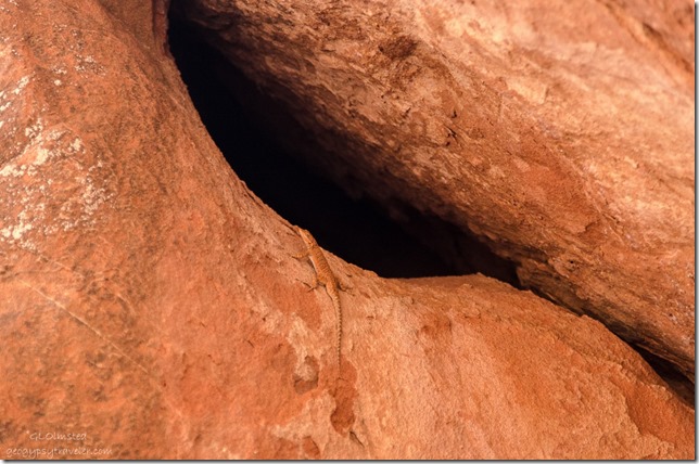
Lizard on sandstone Upper Buckskin Gulch Paria Canyon/Vermilion Cliffs Wilderness area UtahEverywhere Bill shows me in southern Utah needs a return visit, in cooler temperatures.
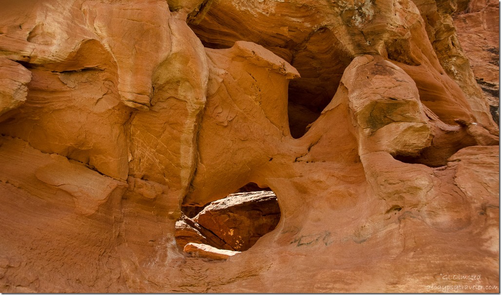
Hole in sandstone Upper Buckskin Gulch Paria Canyon/Vermilion Cliffs Wilderness area Utah“The Colorado Plateau is to the geologist a paradise. Nowhere on the earth’s surface, as far as we know, are secrets of its structure so fully revealed as here.”  –Clarence E. Dutton, 1882

Push my buttons!

  • Click to share on Facebook (Opens in new window) Facebook
  • Click to share on X (Opens in new window) X
  • Click to share on LinkedIn (Opens in new window) LinkedIn

Like this:

Like Loading...
Buckskin Gulch, Utah hiking 14 Comments
10 August 2015

Catstair Canyon rock art Grand Staircase-Escalante National Monument

Just a short drive east from the Paria River Road on State Route 89 then south through the right break in the gaurdrail and through a gate to the edge of the wash.

Bill & Sasha Catstair Canyon Grand Staircase-Escalante National Monument UtahYou can tell the wash walk isn’t too difficult by Bill’s shoe choice, don’t mind the farmer’s tan, but then we didn’t walk very far to find the Catstair Canyon rock art.

Daisies Catstair Canyon Grand Staircase-Escalante National Monument UtahThe sunny faces of Daises lined the way with Sasha in the lead sniffing some great scents.

Catstair Canyon Grand Staircase-Escalante National Monument UtahThe canyon narrowed and around the first bend Bill informed me he always has difficulty finding this rock art panel and usually goes beyond it then sees it coming back.

Sandstone layers Catstair Canyon Grand Staircase-Escalante National Monument UtahBy then I’m following him and Sasha up a slope and scree pile adjacent to a sheer cliff of patina sandstone.

Sandstone layers Catstair Canyon Grand Staircase-Escalante National Monument UtahWhen they stop I continue to the top with nothing for my efforts but a butt slide back down.  While gracefully negotiating the return I hear what sounds like the opening of an ammo can and wonder just what Bill may have found.  Maybe a geocache?  Not a total loss on my part seeing the lovely layers of stone.  And the cross canyon view which tells me I want to hike here again.

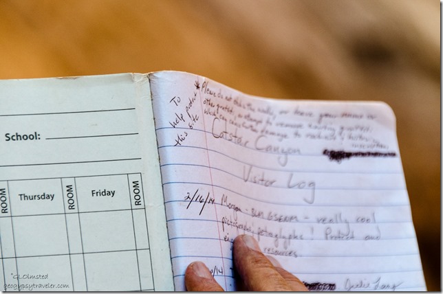
Visitor log Catstair Canyon Grand Staircase-Escalante National Monument UtahSo they found a log in an ammo box seemingly put near the panel for visitors to leave their comments.

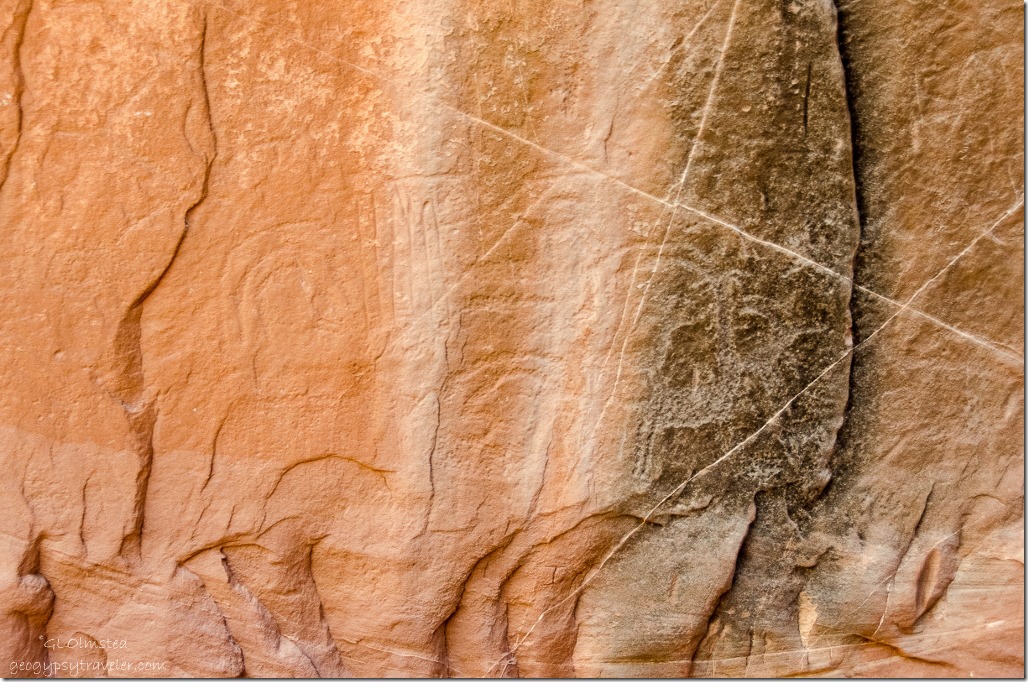
Petroglyphs Catstair Canyon Grand Staircase-Escalante National Monument UtahAnd the symbols were at the base of the slope I’d just climbed so we had walked past them.

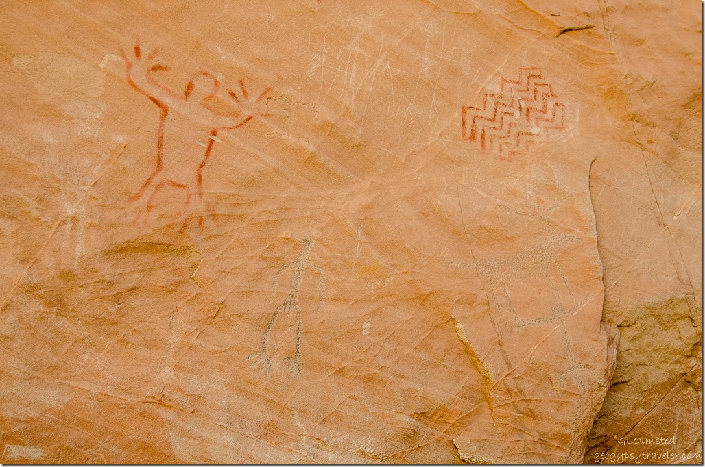
Petroglyphs & pictographs Catstair Canyon Grand Staircase-Escalante National Monument UtahA mix of pictographs and petroglyphs with pencil embellishment.  BLM archeologists dated some of the figures to be 6000 years old

Push my buttons!

  • Click to share on Facebook (Opens in new window) Facebook
  • Click to share on X (Opens in new window) X
  • Click to share on LinkedIn (Opens in new window) LinkedIn

Like this:

Like Loading...
Grand Staircase Escalante National Monument, Utah Catstair Canyon 16 Comments
05 August 2015

Paria River Road and movie making past and present

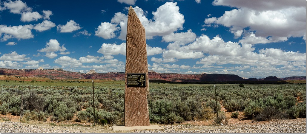
Pahreah plaque on sandstone monolith Paria River Road Grand Staircase-Escalante National Monument UtahBill talks about the Paria River all the time and wanted  to show me the remains of the old, and not so old, Paria townsite where movies were made.  So we took a drive and someone was actually filming in the area.  In fact when we pulled off State Route 89 onto the Paria River Road there was a bright yellow sign that read “Monolith”.  Not the sign or monolith in the photo above.

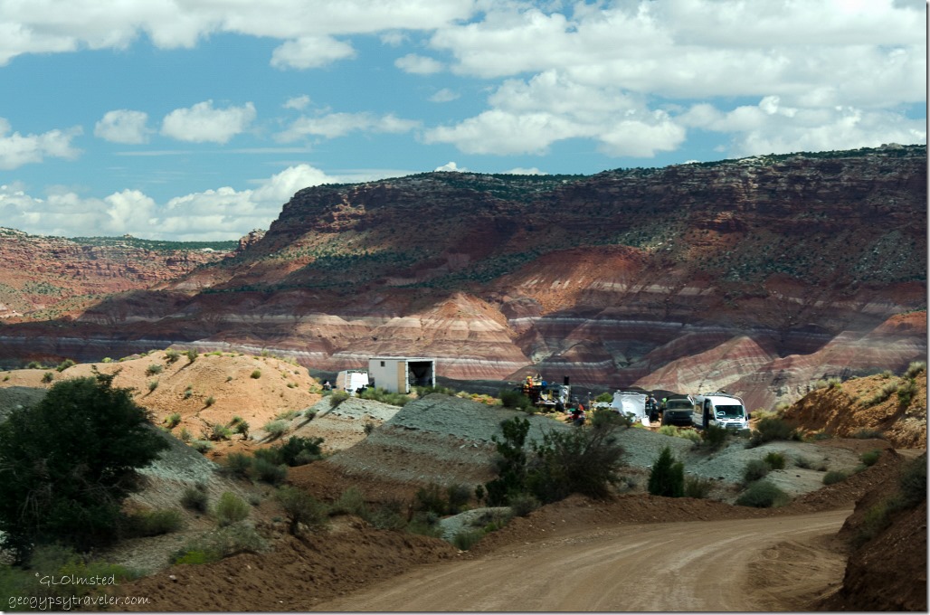
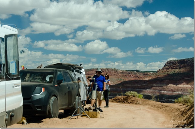
Film crew on Paria River Road Grand Staircase-Escalante National Monument UtahWe stopped when we saw a couple guys standing along this rather deserted looking road and I asked what they were filming.  “A movie” was the reply along with “bet you don’t know what it’s called.”  No duh.  I’ll bet it’s called Monolith.  I don’t watch movies so can only guess about this movie even after doing some Googling.

Film crew on Paria River Road Grand Staircase-Escalante National Monument UtahWe didn’t see any actual filming but the crew had the road half blocked for at least 100 yards including one person with their ass sticking out who seemed hesitant to move.  Of course this requires paid permits and we saw two BLM government rigs in the foray, they are suppose to be watching for compliance on this fragile landscape.  Wonder if they got to be in the movie?

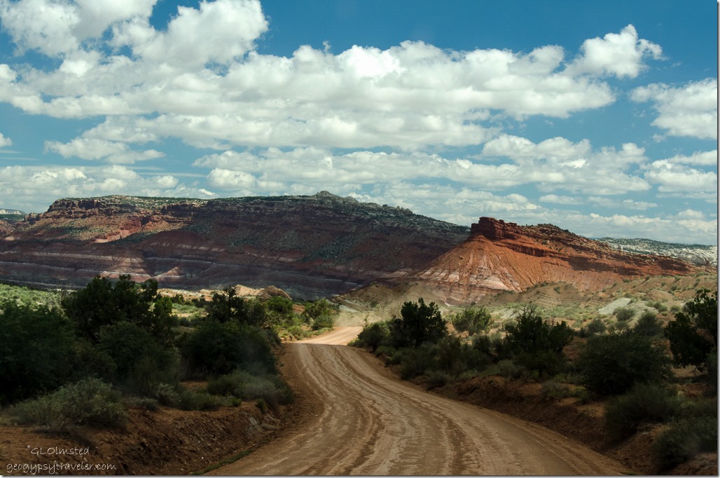
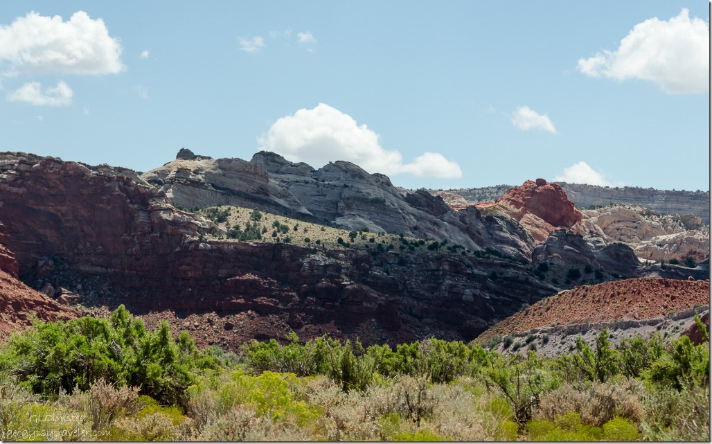
Paria River Road Grand Staircase-Escalante National Monument UtahThe Paria River Road is 6 miles (9.6 kms) long, and becomes rather steep and twisting near the end, as it crosses the undulating banded hills that cover this area.  The surrounding landscape of carved stone in southern Utah’s Grand Staircase-Escalante National Monument continues to absorb me with its various colors, shapes, lines and layers.

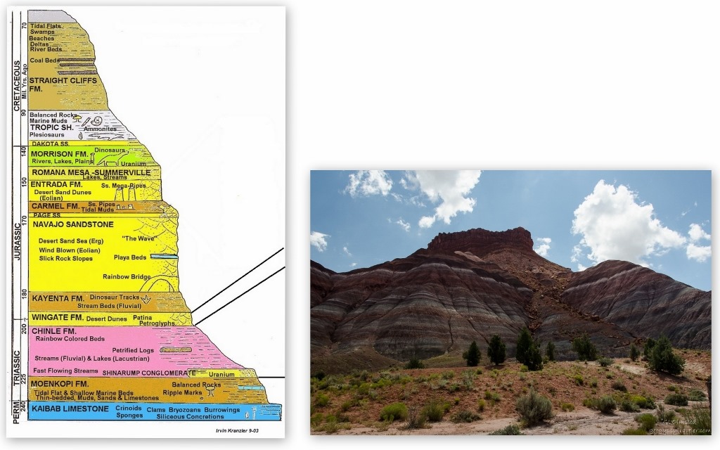
geo strata of banded cliffs Paria River Road Grand Staircase-Escalante National Monument UtahThe cliffs on either side of the river valley are equally layered and multi-colored, with alternating red, white, purple and grayish-blue strata, part of the Petrified Forest Member of the Chinle Formation topped by Wingate Sandstone.  The Chinle Formation was deposited during the Triassic Period between 225 and 200 million years ago  under different climatic conditions dominated by wet environments such as streams, lakes and wetlands with distributary channels. Eventually the climate shifted and dryer environments prevailed such as seasonal stream systems and floodplains followed by dunes.

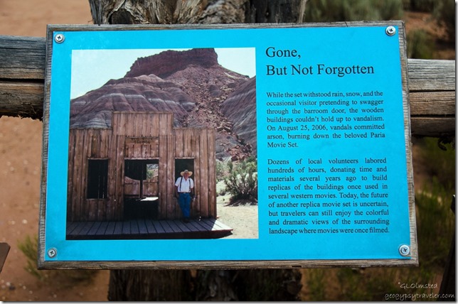
Interpretive sign movie set Paria River Road Grand Staircase-Escalante National Monument UtahFirst stop at a parking lot where the Paria movie set once stood.  Not to be confused with the original townsite of Paria, or Pahreah, the movie set was constructed in 1962 about a mile west to avoid flooding by the Paria River for the filming of the Rat Pack’s Seargent 3.  Then after the filming of The Outlaw Josey Whales in 1976 the site was abandoned and fell apart.  Local volunteers have rebuilt the fake town, I believe twice, and vandals burned it down so now there’s nothing but interpretive signs at a parking lot with a toilet.

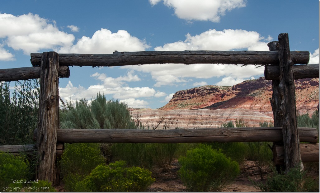
View near old movie set Paria River Road Grand Staircase-Escalante National Monument UtahThe rugged surroundings easily bring back memories of Clint Eastwood riding across a dry land in search of water.

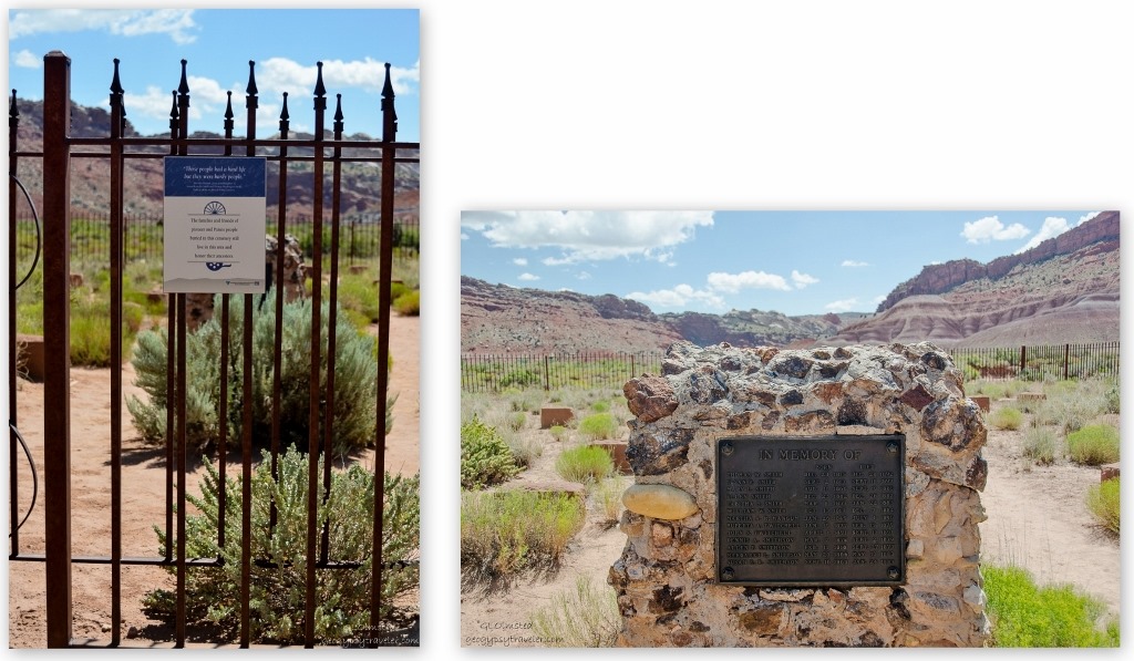
Paria Cemetery signs Paria River Road Grand Staircase-Escalante National Monument UtahA little further down the road is a pioneer cemetery renovated in 2001 by descendants of the Smiths and Smithsons with a memorial stone listing the known buried.

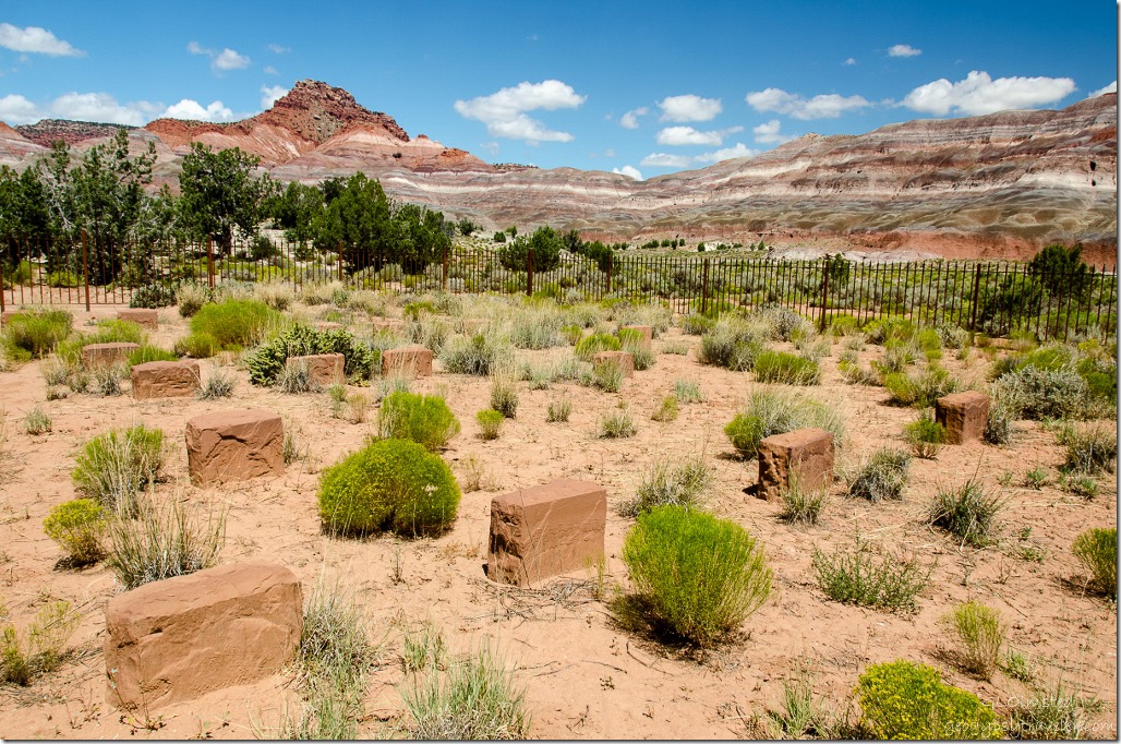
Paria Cemetery Paria River Road Grand Staircase-Escalante National Monument UtahYet the unmarked headstones number more than the known, amongst them some Paiute people, almost blending in with the harsh land where people have lived over 1000 years.

Paria River Valley Grand Staircase-Escalante National Monument UtahAncient rock art, which I did not see, from 4000 BC suggests use of the canyon as a travel corridor.  Yet settlement didn’t occur until 1865 by a Mormon group led by Peter Shirts who tried to farm on the too dry desert soil.  In 1871 John D. Lee constructed a dam and irrigation ditches which helped the town grow and included a general store, church and a number of houses.  The town of 47 families hit hard times when the Paria River flooded every year from 1883-88, washing away fields and even some buildings.  People started to move away and by 1892 there were only eight families left.

“There is some tolerably good land here, but very little of it is safe from washing away.”     –Edwin B. Woolley, Jr., 1869

In later years the film industry became interested in using the picturesque ghost town with its canyon vista background as a location for making westerns like Buffalo Bill in 1943.  Yet the constant struggle against the flooding Paria River eventually led to the move mentioned above.

Banded cliffs along Paria River Road Grand Staircase-Escalante National Monument UtahWe continued down the road seeing breathtaking beauty around every curve.

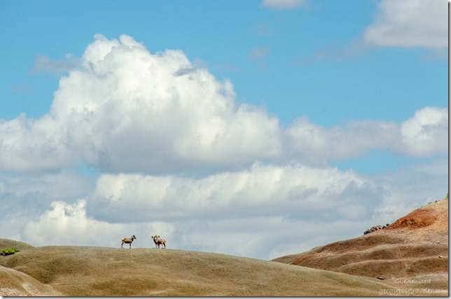
Three bighorn sheep Paria River Road Grand Staircase-Escalante National Monument UtahAnd then the excitement of seeing three big-horn sheep standing on the horizon.

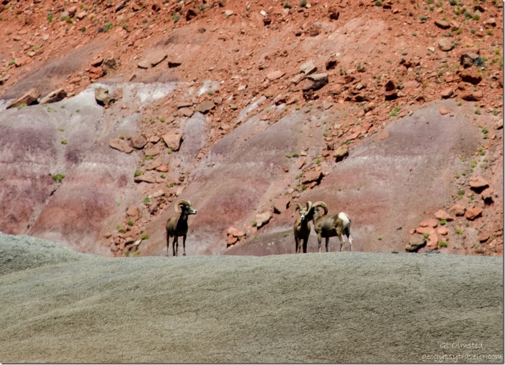
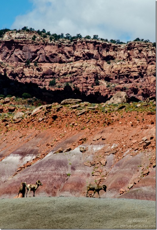
Three bighorn sheep Paria River Road Grand Staircase-Escalante National Monument UtahOnce parked at the end of the road we watched the sheep for at least 20 minutes from our picnic place along a dry but muddy branch of the Paria.  We heard them clack horns and would guess these three males were playing around.

Three bighorn sheep Paria River Road Grand Staircase-Escalante National Monument UtahI took so many photos of them but without a bigger lens they mostly look like brown blobs.  Can you see them way up there with that drop dead gorgeous backdrop?

Three bighorn sheep Paria River Road Grand Staircase-Escalante National Monument UtahThen a man named Ed showed up with two D800 Nikons and a lens as long as my arm.  Did I drool in envy?  Oh yes, but then he handed it to me and the set up weighs too much for me to hand hold, even with the ISO up to 6400 where he sets it.  He even offered to let me load it on my camera but I passed knowing the cost of replacement.

Sasha & Bill Paria River Road Grand Staircase-Escalante National Monument UtahWe sat and ate lunch with the 87-year old Ed from Sun City near Phoenix.  He asked about road conditions to places like White Pocket and admitted that even with his 4×4 he hesitated to go to these difficult places alone.  Bill offered to take him and we gave him our contact information.  He left a Bill a message days later and mentioned going in September so I look forward to returning also.

Dry mud Paria River Grand Staircase-Escalante National Monument UtahWe passed on actually crossing the Paria River to see the few remains of the original town site because the mud that wasn’t dry quickly clung to shoes making them three times larger with each sucking sound of possible shoe loss.  Equally bad for dogs.  Good excuse to return another time.

Banded cliffs Paria River Road Grand Staircase-Escalante National Monument UtahSo we turned around to see these luscious colored hills from a new direction then continued our journey to Catstair Canyon for some possible petroglyphs.

Toadstools Paria River Road Grand Staircase-Escalante National Monument Utah

Push my buttons!

  • Click to share on Facebook (Opens in new window) Facebook
  • Click to share on X (Opens in new window) X
  • Click to share on LinkedIn (Opens in new window) LinkedIn

Like this:

Like Loading...
Grand Staircase Escalante National Monument, Utah Paria River Road 26 Comments
← Older posts
Newer posts →

Hi, I’m Gaelyn, the Geogypsy

I retired after 29 summer seasons as a Park Ranger, traveling solo for 40+ years. My passions include travel, connecting to nature, photography, and sharing stories.

I started exploring US National Parks in 1977 and 20 years later became a seasonal Park Ranger.  I’ve lived full-time in a RV for 30 years working summers and playing winters.  I’m still trying to figure out what I want to be when I grow old, other than grow up.

Let’s share our stories.  Here’s more of mine…

My wheeleastate

I am currently…

…boondocking somewhere in southern Arizona.  In the area, give a shout.

Geogypsytraveler on YouTube

Follow my journey on YouTube. Just click the pic. Hope you’ll like, share, and subscribe.

Click image for 7 minute documentary (Password “geogypsy” lowercase)

Making the Gypsy documentary is a story of its own.  Click below for the rest of the story.

Living nomadically & connecting to nature documentary

Subscribe to Blog via Email

Enter your email address to subscribe to this blog and receive notifications of new posts by email.

Photos available for sale include prints, greeting cards, coffee mugs, tote bags, phone cases and more

Reflected Wave 24X16 metal print under $100

Custom Coffee Mugs

Many items to choose from including prints

The Last Blast 24 x 16″ metal print under $100

Need a signal boost? When I boondock on public lands sometimes signal is weak or intermittent and a booster helps. Click the pic to visit WeBoost.

Connecting to nature and the rest of the world too.

Please contact me for photo purchases not seen at GLOlmsted Photography

Order fulfillment is by Fine Art America. If you’re not happy with your purchase, for any reason, simply return it within 30 days, and you’ll receive a full refund of the purchase price.

Why read Geogypsy?

The gypsy life spring-summer 1998 - "You were a real pioneer. RV'ing before it was cool." ...Yogi

How do you process photos? - “Your photographs create an Emotional feeling in the viewer...that they become One with You.” …Cindy

Life’s transitions between travel and work play - "I know you love your job as much as you love travel -- it shines through all your posts." ...Sallie

Lions at Kruger National Park - “Wonderful post, thank you. I was hooked start to finish!” … Peter B

11 lessons looking back 2013 - “A great post -- made me think, made me smile, made me want to cry." ...Sallie

Wildlife video Kruger National Park - “Gorgeous, this makes me want to go straight to South Africa now.” … Ayngelina

Living nomadically & connecting to nature documentary - “What an experience you had and gave to the "crew." Sometimes I think you don't realize how unique and inspiring you are.” …Alan

Search

Popular Posts

1. Prioritize the well-being of nature over photography. 2. Educate yourself about the places you photograph. 3. Reflect on the possible impact of your actions. 4. Use discretion if sharing locations. 5. Know and follow rules and regulations. 6. Always follow Leave No Trace principles and strive to leave places better than you found them. 7. Actively promote and educate others about these principles

Categories

Archives

Sites I follow, read & recommend

  • A Full-time Life
  • A Yankee in Belgrade
  • Bob's Eyes
  • Box Canyon Blog
  • Camels and Chocolate
  • Dawns bloggy blog
  • In the Direction of Our Dreams
  • Jane in her infinite wisdom
  • Janie and Steve, Utah Trails
  • Kathie's Birds
  • Las Adventuras
  • Memorable Meanders
  • Oh, The Places They Go
  • On the Road Abode
  • Port Elizabeth Daily Photo
  • Stillhowlyntravels
  • Take to the Highway
  • Technomadia
  • the good luck Duck
  • Travel with the Bayfield Bunch
  • Wandering Earl
  • Wheeling It
  • Yogi's Den

Caught in a Slot 9×12 canvas print under $50

If you don’t like what’s going on in your government, contact your Congress

Directory of Senators

Directory of Representatives

Lijit

© Copyright 2008-2024. Geogypsytraveler.com
%d