• Home
  • About Geogypsy
    • Herstory
    • Parks where I’ve worked
  • Places I’ve been
    • United States
      • Arizona
        • Antelope Slot Canyon
        • Casa Grande Ruins National Monument
        • Colossal Cave Mountain Park
        • Flagstaff
        • Glen Canyon National Recreation Area
        • Grand Canyon National Park
          • Grand Canyon National Park North Rim
          • Grand Canyon National Park South Rim
          • Toroweap
        • Havasu Canyon
        • Horseshoe Bend
        • Jerome
        • Kaibab National Forest
        • Lee’s Ferry
        • Meteor Crater
        • Navajo Bridge
        • Oak Creek Canyon
        • Painted Desert
        • Pipe Springs National Monument
        • Prescott
        • Quartzsite
        • Saguaro National Park
        • Sedona
        • Sunset Crater Volcano National Monument
        • Vermilion Cliffs
        • Walnut Canyon National Monument
        • Wupatki National Monument
        • Yarnell
      • California
        • Anzaberrego
        • Bakersfield
        • Death Valley National Park
        • Joshua Tree National Park
        • Redwoods NP
        • Salton Sea
        • Yucca Valley
      • Colorado
        • Mesa Verde National Park
      • Florida
      • Illinois
        • IL River
        • Morton Arboretum
        • Starved Rock State Park
      • Michigan
      • Nevada
      • New Mexico
      • Oregon
        • Crater Lake NP
        • Mt Hood
        • Oregon Caves National Monument
      • Texas
        • Alpine Texas
        • Padre Island
        • Port Isabel
        • Rio Grande Valley
      • Utah
        • Brian’s Head
        • Bryce Canyon National Park
        • Buckskin Gulch
        • Cedar Breaks National Monument
        • Cedar City
        • Coral Pink Sand Dunes State Park
        • Dixie National Forest
        • Grand Staircase Escalante National Monument
        • Johnson Canyon
        • Kanab
    • World Travels
      • Germany
      • Mexico
      • South Africa
  • Tours
  • Photography
  • Work with Me
    • Sponsors
  • Contact
Geogypsy
Menu
  • Home
  • About Geogypsy
    • Herstory
    • Parks where I’ve worked
  • Places I’ve been
    • United States
      • Arizona
        • Antelope Slot Canyon
        • Casa Grande Ruins National Monument
        • Colossal Cave Mountain Park
        • Flagstaff
        • Glen Canyon National Recreation Area
        • Grand Canyon National Park
          • Grand Canyon National Park North Rim
          • Grand Canyon National Park South Rim
          • Toroweap
        • Havasu Canyon
        • Horseshoe Bend
        • Jerome
        • Kaibab National Forest
        • Lee’s Ferry
        • Meteor Crater
        • Navajo Bridge
        • Oak Creek Canyon
        • Painted Desert
        • Pipe Springs National Monument
        • Prescott
        • Quartzsite
        • Saguaro National Park
        • Sedona
        • Sunset Crater Volcano National Monument
        • Vermilion Cliffs
        • Walnut Canyon National Monument
        • Wupatki National Monument
        • Yarnell
      • California
        • Anzaberrego
        • Bakersfield
        • Death Valley National Park
        • Joshua Tree National Park
        • Redwoods NP
        • Salton Sea
        • Yucca Valley
      • Colorado
        • Mesa Verde National Park
      • Florida
      • Illinois
        • IL River
        • Morton Arboretum
        • Starved Rock State Park
      • Michigan
      • Nevada
      • New Mexico
      • Oregon
        • Crater Lake NP
        • Mt Hood
        • Oregon Caves National Monument
      • Texas
        • Alpine Texas
        • Padre Island
        • Port Isabel
        • Rio Grande Valley
      • Utah
        • Brian’s Head
        • Bryce Canyon National Park
        • Buckskin Gulch
        • Cedar Breaks National Monument
        • Cedar City
        • Coral Pink Sand Dunes State Park
        • Dixie National Forest
        • Grand Staircase Escalante National Monument
        • Johnson Canyon
        • Kanab
    • World Travels
      • Germany
      • Mexico
      • South Africa
  • Tours
  • Photography
  • Work with Me
    • Sponsors
  • Contact

Category: Places I’ve been

09 November 2015

A quick visit to The Needles District Canyonlands National Park

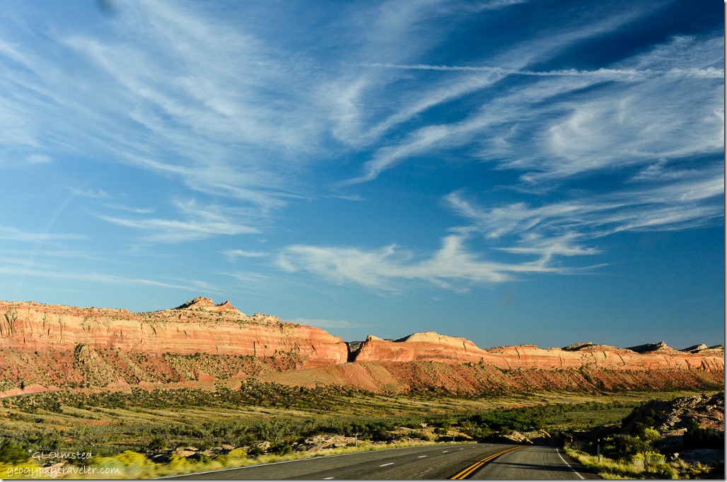
Entering The Needles District Canyonlands National Park UtahAfter spending a good portion of the day driving up and over the forested Elk Ridge teasing views of the distant rock in The Needles District Canyonlands National Park beckoned for a quick visit.

The Needles District Canyonlands National Park UtahWooden Shoe Arch

By the time we got there (2pm) of course no campsites were available in the 26 site, first come first serve, Squaw Flat Campground.  Yet Bill knew of BLM land outside the park where we could camp so we burned the last daylight driving about 7 miles to the end of the road then back.
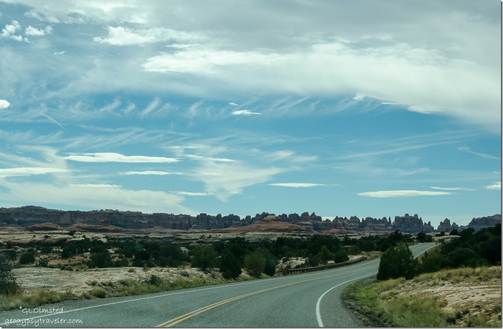
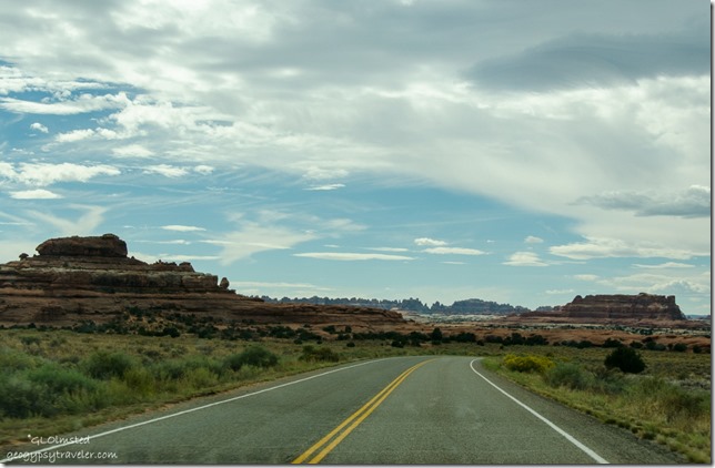
The Needles District Canyonlands National Park UtahMade up of four distinct districts—the Island in the Sky, the Needles, the Maze, and the rivers—Canyonlands is huge at 527 sq mi.  According to the park’s information the farthest district to the north, Island in the Sky, is the “most accessible offering expansive views from many overlooks along the paved scenic drive, several hikes of varying length and a moderate four-wheel-drive route called the White Rim Road.”
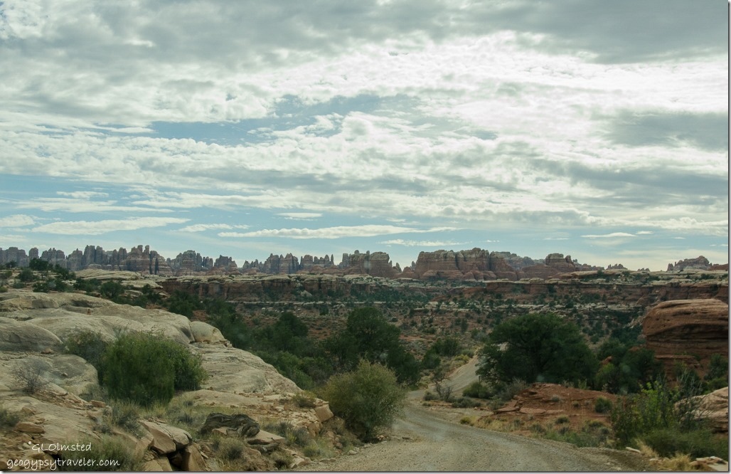
The Needles District Canyonlands National Park UtahThe Needles, where we visited, offers more of a backcountry experience requiring some hiking or four-wheel driving to really experience the landscape.

“The Maze is a remote district requiring considerably more time and self-reliance to visit.  Northwest of The Maze, Horseshoe Canyon is a day-use area with stunning Native American rock art panels.”  And I’d gladly visit either/both the Colorado and Green rivers floating along beneath the towering walls for a whole different perspective than hiking or driving.
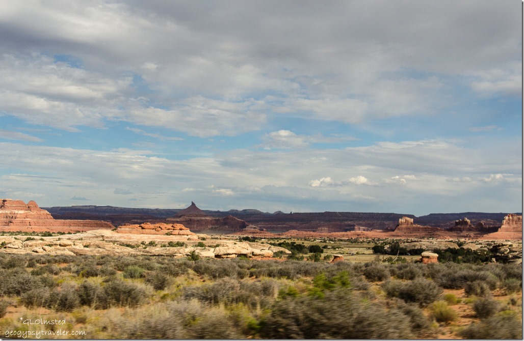
The Needles District Canyonlands National Park UtahOur drive was restricted pretty much to pavement with a few overlook stops.  There are no roads that directly link the districts because of the canyons and topography so allow two to six hours by car.
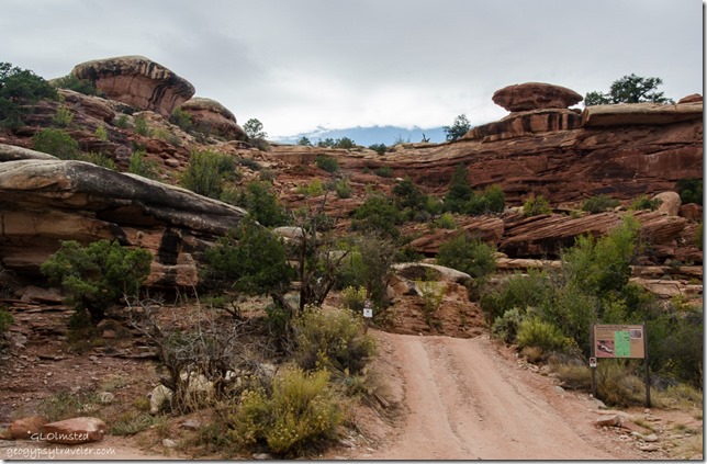
Elephant Hill area The Needles District Canyonlands National Park UtahA gravel side road took us to Elephant Hill trailhead, a “hairy” 4×4 route Bill has driven in the past.  It is rated as the toughest 4-wheel drive in the state of Utah.  Bill says it takes you into beautiful landscapes but the drive is a “mofo”.  There are also several enticing trails to destinations like “Druid Arch”  in Elephant Canyon.
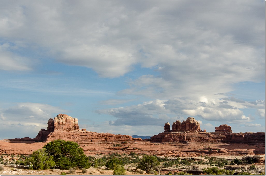
Wooden Shoe The Needles District Canyonlands National Park UtahPhotos taken through bug spattered windows are tough.
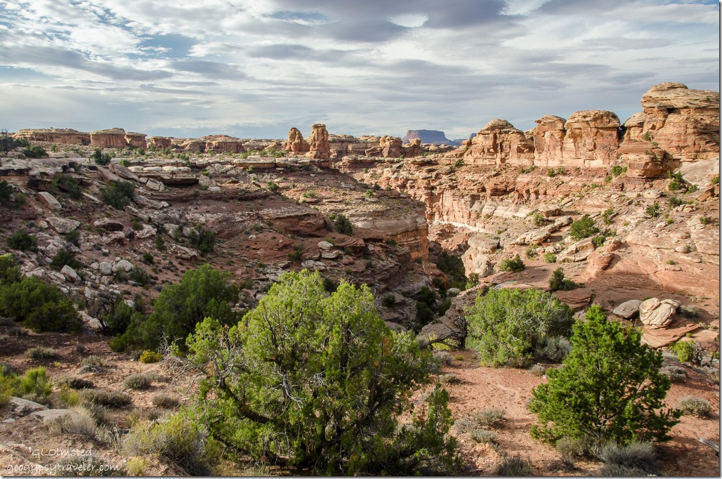
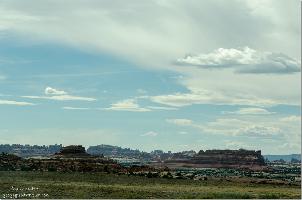
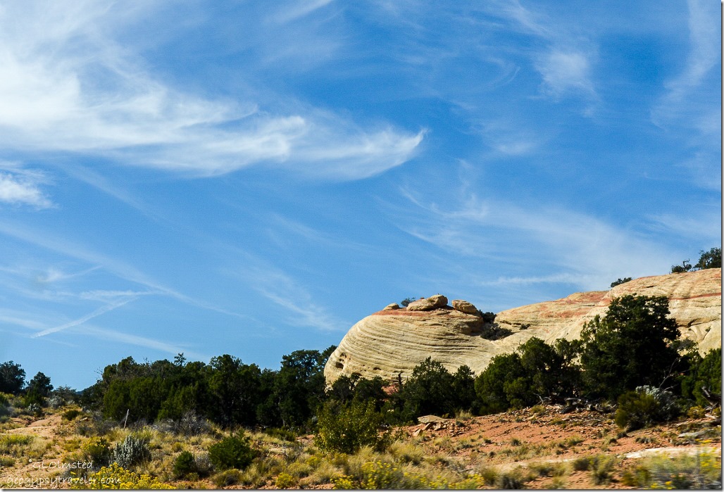
Big Spring Canyon Overlook The Needles District Canyonlands National Park UtahBig Spring Canyon Overlook at the end of the road offered panoramic views of banded sandstone, spires and toadstools.  Plus a trail goes to an overlook of the confluence of the Colorado and Green Rivers.  However, we had no time for that and the trails are not dog friendly.
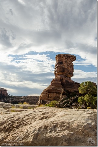
Toadstool Big Spring Canyon Overlook The Needles District Canyonlands National Park UtahOnce a dune field on the edge of a shallow sea sediment was deposited, lithified, uplifted, fractured, flooded and since eroded into the banded and carved rock and canyons seen today.
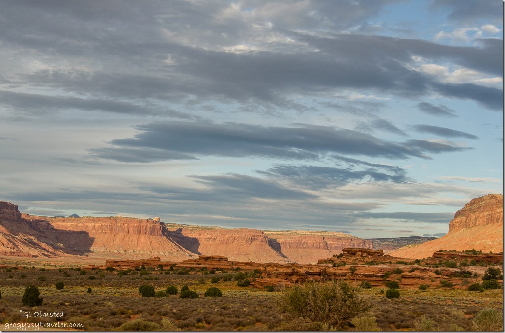
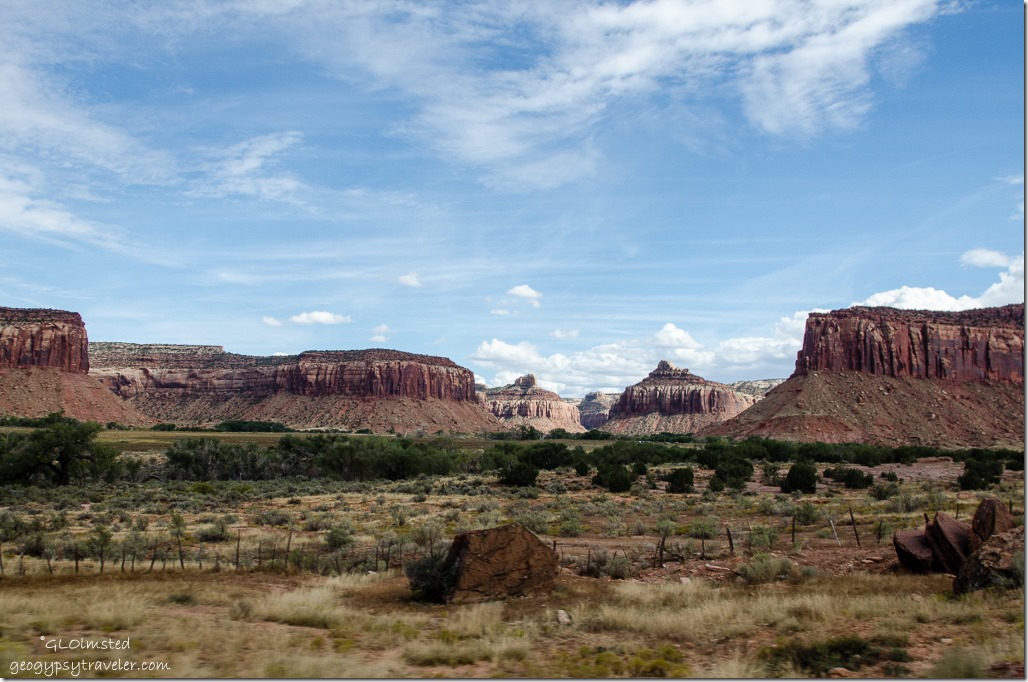
Harts Draw UT211 E BLM UtahWe made a stop at the Visitor Center on the way in to pick up a Junior Ranger book.  Unfortunately it closed at 4pm so didn’t get my badge or a chance to walk around the displays.  An excuse to return along with many others.  So we headed out of the official park into a gorgeous valley to find a campsite.
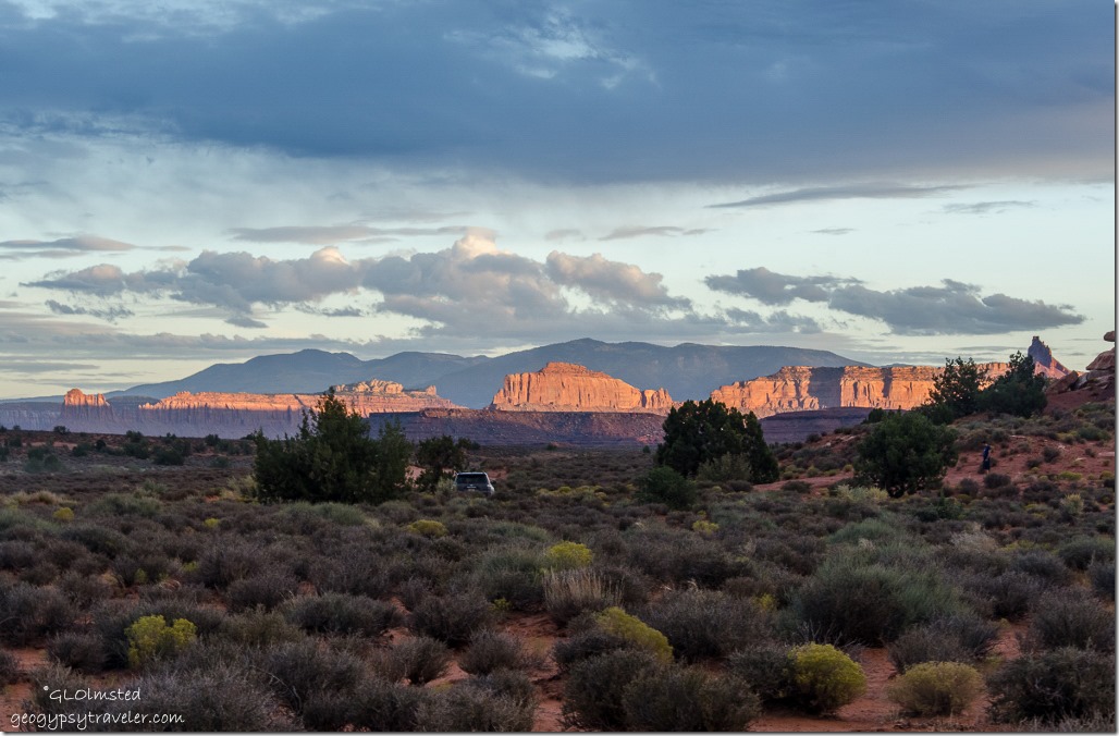
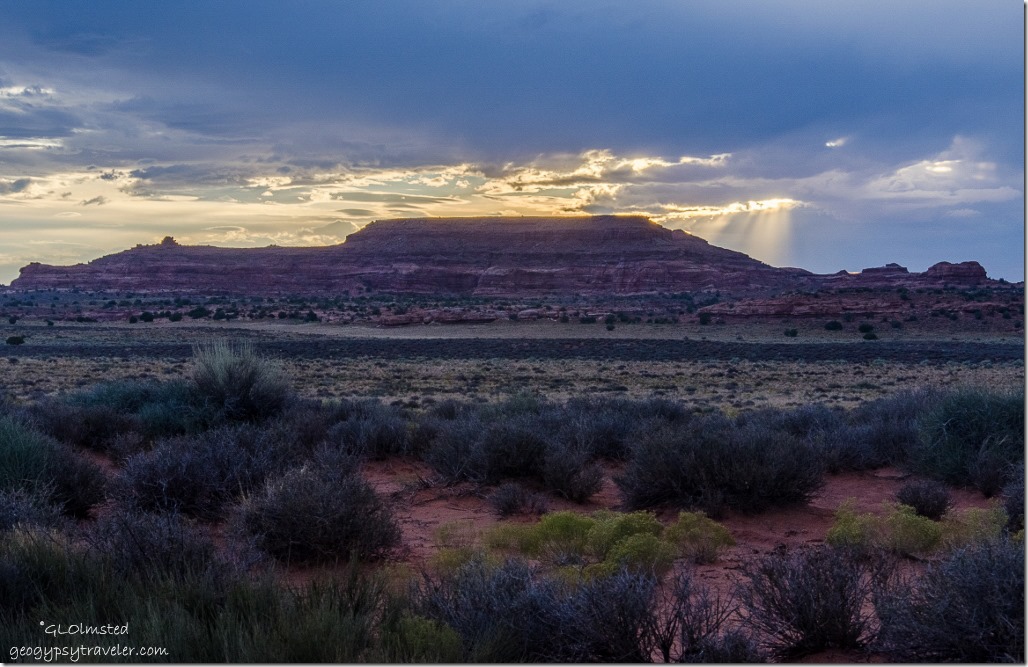
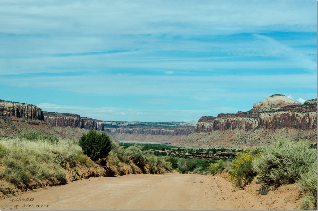
Late light & camp Hamburger Rock BLM UtahOnly three miles from the park a sign and side road directed us to Hamburger Rock campground BLM, level with a fire ring, and probably toilets if we’d driven in a little farther where we could see a couple RVs.  Guess we stopped a little short and had the landscape to ourselves.
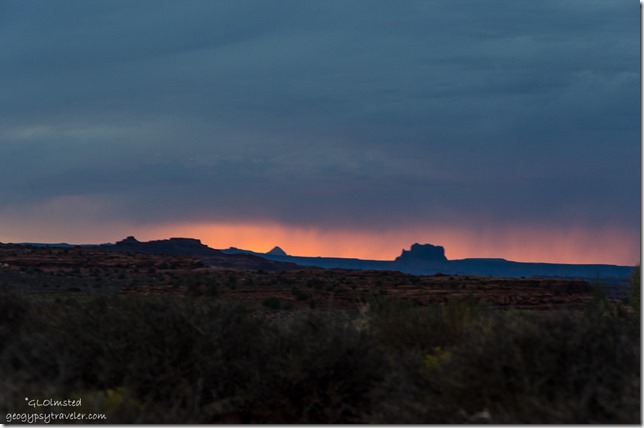
Sunset & crepescular rays Hamburger Rock BLM Utah

Virga sunset from camp Hamburger Rock BLM UtahAfter dinner we sat out and watched the day wane into sunset wondering if rain would come our way for our visit to Arches National Park the next day.

 

Push my buttons!

  • Facebook
  • Twitter
  • LinkedIn

Like this:

Like Loading...
National Parks and Monuments, Utah Canyonlands National Park, The Needles District 20 Comments
02 November 2015

Reminiscent ride over Elk Ridge

Elk Ridge Cottonwood Canyon Road UtahLeft Blanding and drove back west towards Natural Bridges but turned north before Comb Ridge for a reminiscent ride over Elk Ridge in the Manti-La Sal National Forest where Bill once headed the fire crew from Gooseberry Guard Station.

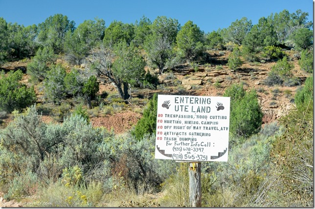
Ute land sign Cottonwood Canyon Utah

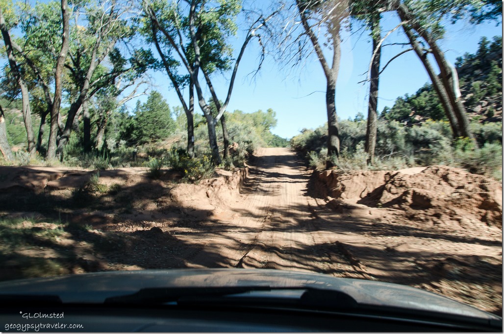
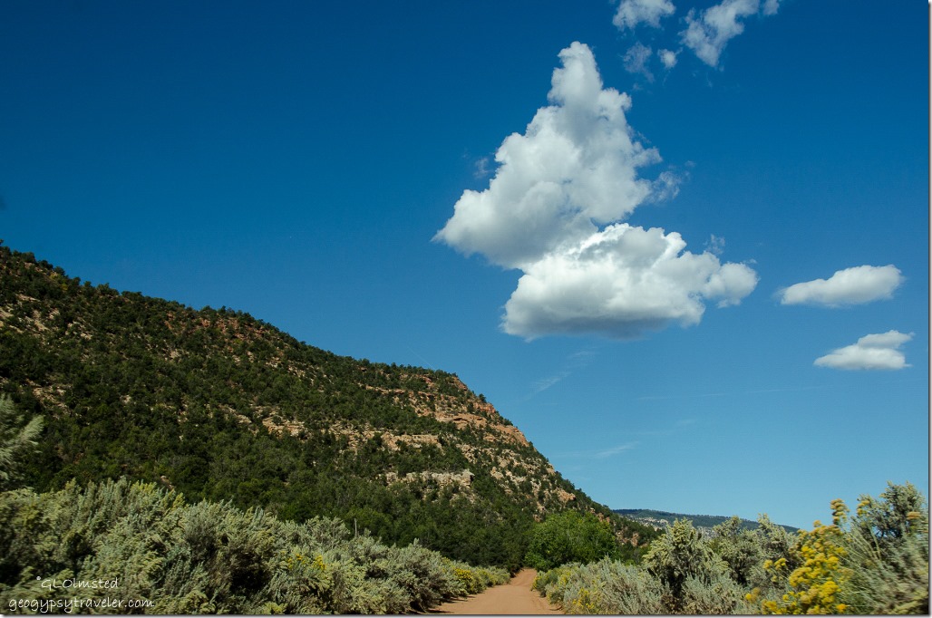
Semi-dry Wash Cottonwood Canyon Road UtahBy 8:30 we were driving up Cottonwood Canyon, at first paved then gravel.  Within 30 minutes we’d entered Ute Land where there’s a whole lot of NOs.  In 1923 an allotment was taken out of the Manti-La Sal for long time Paiute residents.  There land their rules.

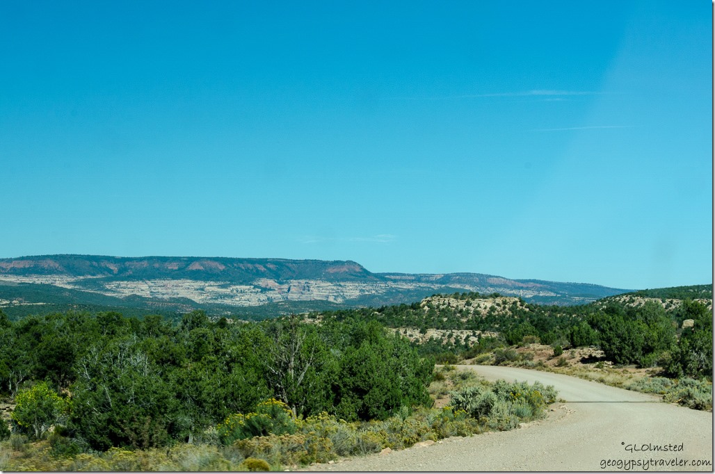
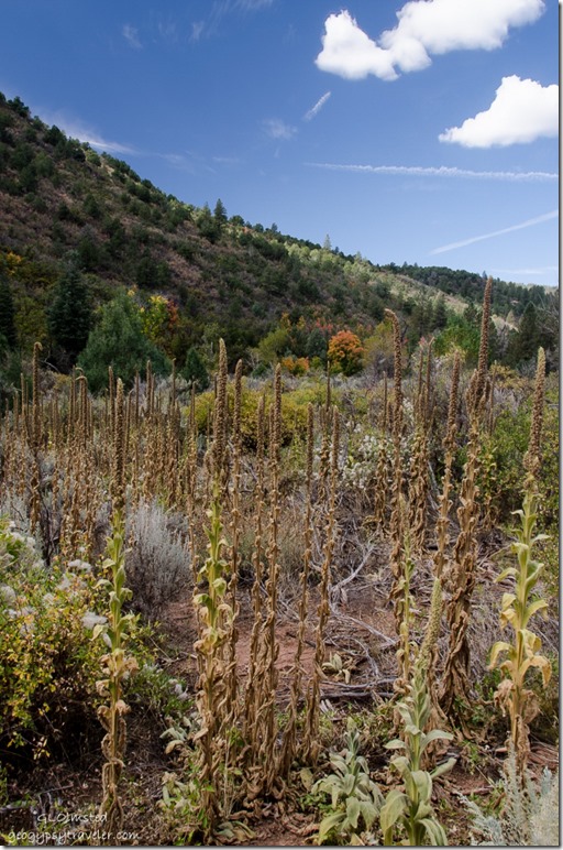
Fall colors Cottonwood Canyon Road UtahThis slightly maintained road provided some early fall color views.

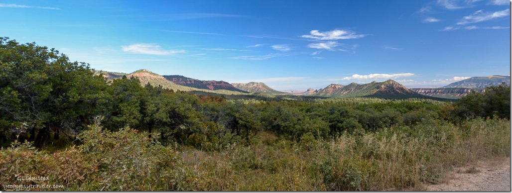
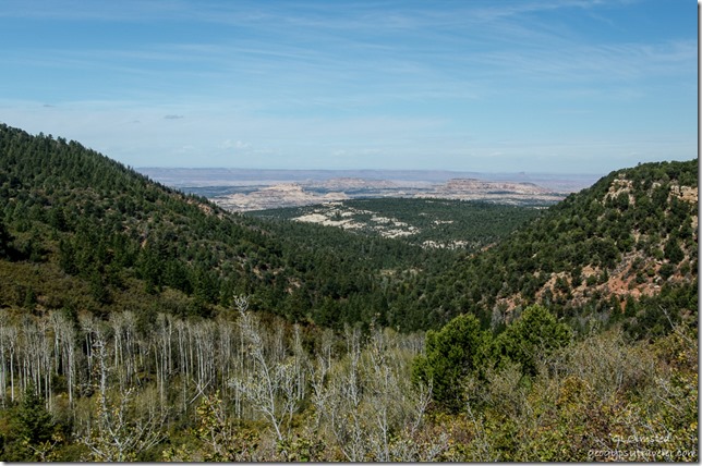
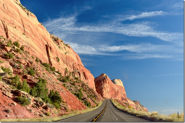
Cottonwood Canyon Road Manti-La Sal National Forest UtahOnce back on the National Forest we went up, over and around Horse Mountain.  A beautiful drive through fall changing forest, across mostly dry washes and below towering red walls of sandstone.

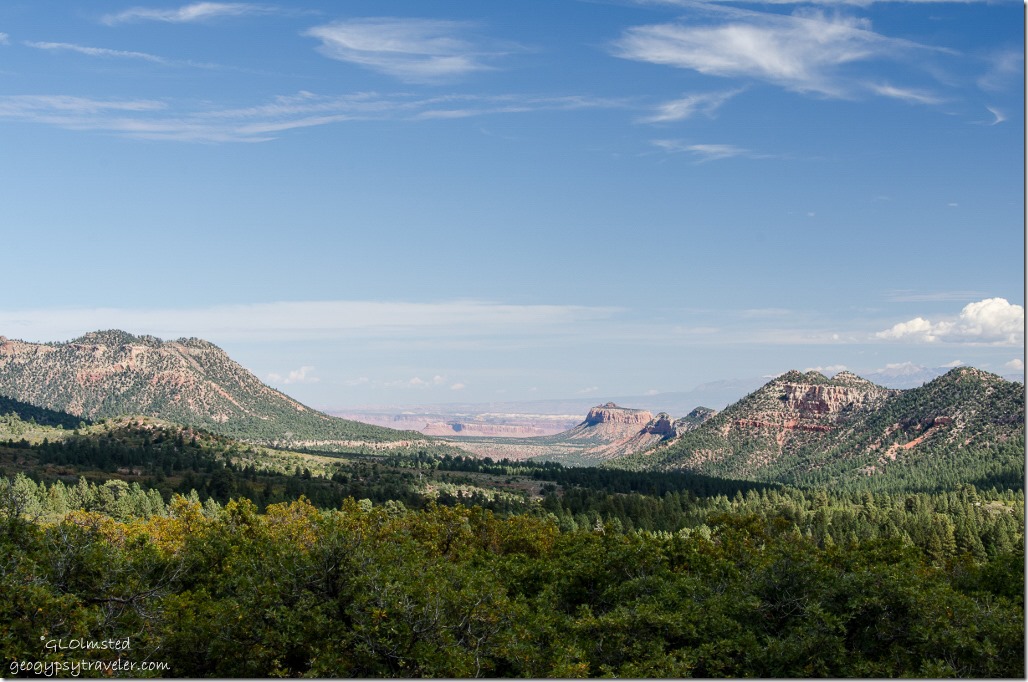
Manti-La Sal National Forest Utah

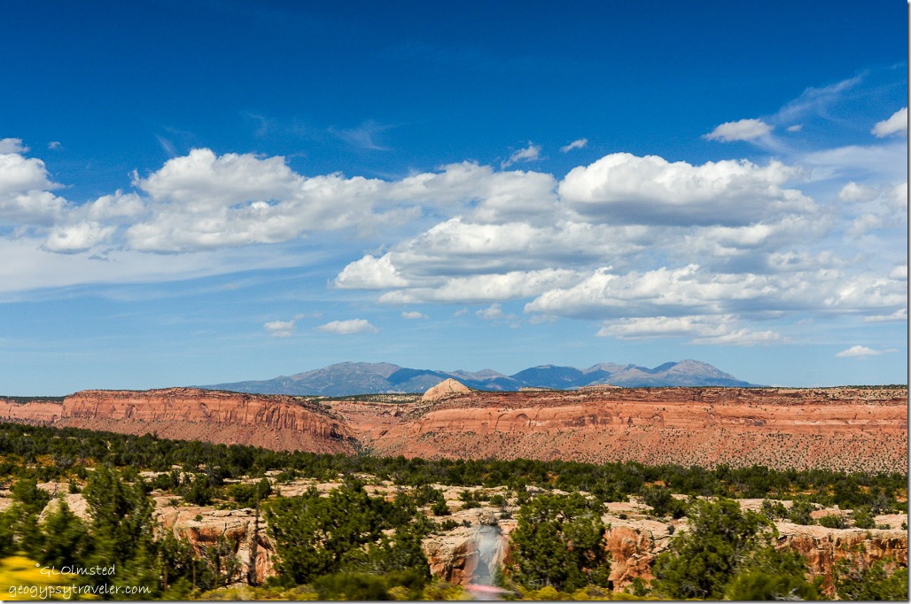
Southern Canyonlands from Manti-La Sal National Forest UtahPlus distant teasing views of southern Canyonlands.

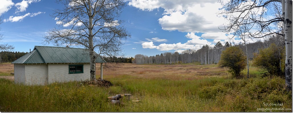
Drive into Gooseberry Guard Station Manti-La Sal National Forest UtahAround 11 we stopped at Gooseberry Guard Station, located at the edge of a large golden meadow, two ‘cabins’, an outhouse, and a volunteer’s slide-in camper off its truck.

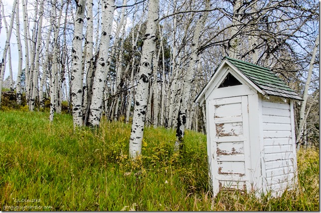
Outhouse Gooseberry Guard Station Manti-LaSal National Forest UtahBill worked here with three other guys in the 70s when the place was off grid.  They hauled water and used lanterns and an outhouse.  Fuel for their 2-wheel drive long-bed Chevy pickup truck came from the old fashioned glass-topped fuel pump.  After breakfast prepared on a wood cook stove they patrolled the many forest roads looking for fire.  Often they sat on the porch during lunch watching storms and then went looking for smokes.  Bill says it was one of the best six weeks of his life.  He worked fire four seasons and was available for at least another four years while later working for BLM (Bureau of Land Management).

Gooseberry Guard Station Manti-LaSal National Forest UtahThe first Gooseberry Guard Station cabin was built in 1919 but replaced in 1934 with a smaller cabin where Bill stored the beer.  The larger cabin that they lived in was moved from Cortez, Colorado in 1967.  Now it has solar panels and although not permanently staffed is still used by Forest Service employees when needed.

BLM Utah

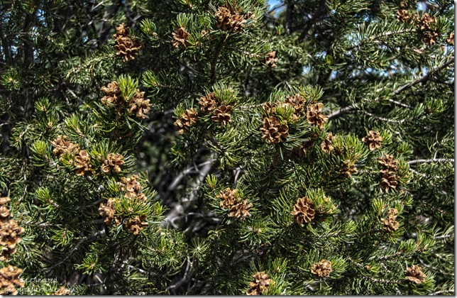
Pinyon Pine cones BLM UtahFrom here we continued our drive through a forest of bumper crop pine nuts and people were taking advantage of the bounty gathering bags full of nuts.

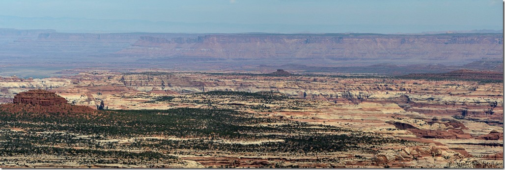
Southern Canyonlands National Park from BLM Utah

Southern Canyonlands National Park from BLM Utah

BLM UtahSuddenly the views opened and below, yet far away, we could see the southern portion of Canyonlands’ Needles District.  But we were still many hours drive away.

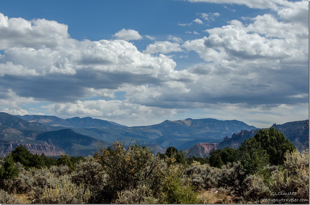
Abajo Mountains BLM Utah

Dugway BLM Utah

Dugout Ranch UtahFinally came down the dugway and to Dugout Ranch before hooking a left to Canyonlands National Park.

Needles District Canyonlands National Park UtahAnd of course arrived too late for a campsite in the park.

All stories about Bill were shared by Bill and only slightly edited by me because Bill also says that at least 95% of what he says is Bullshit.

Push my buttons!

  • Facebook
  • Twitter
  • LinkedIn

Like this:

Like Loading...
Utah Elk Ridge, Manti-La Sal National Forest 27 Comments
27 October 2015

Next stop Natural Bridges National Monument

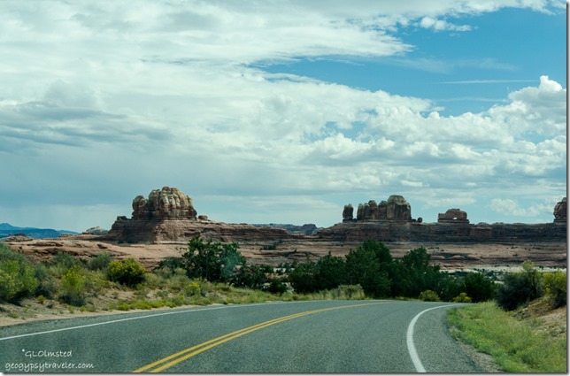
Owachomo Bridge Natural Bridges National Monument UtahAfter a walk around the ruins we left Hovenweep at noon, took a spectacular drive over Comb Ridge and across Comb Wash before arriving at Natural Bridges National Monument around 3pm, unfortunately no space at their 13-site first come first serve campground.

Comb Ridge Utah

comb_ridge_block_diagram npsIn fact Comb Ridge will be a great place to return for future explorations for both the geology and archaeology.  The towering monocline displays colorful layers of rock tilted skyward dating back to 280 million years old.  Tilted at an angle of almost 20 degrees this sandstone formation is nearly one hundred and twenty miles long and one mile wide.  This cataclysmic upheaval of earth in the Navajo language Tséyíkʼáán is translated as “Rock Extends in the Form of a Narrow Edge.”  So much more descriptive than Comb Ridge.
Comb Ridge UtahThese jagged and weathered crags loom 300-900 feet above the plains.

Dugway to Comb Wash & Elk Ridge Utah

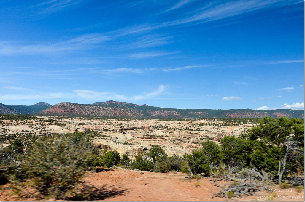
Eastern Cedar Mesa UtahThen we descended into the northern part of Comb Wash surrounded by sculptured towers of sandstone and Cedar Mesa in the distance.  Many side canyons with ancient cliff dwellings of the Ancestral Puebloans feed into the wash.  Yet another reason to return.

Cedar Mesa UtahAnd then there’s Cedar Mesa which encompasses the park and a huge area to the south of Highway 95 where there are even more canyons and archaeology sites to explore.

Comb Wash, Ridge & Abajo Mountains UtahAll this beauty and we weren’t even to our next stop Natural Bridges National Monument.

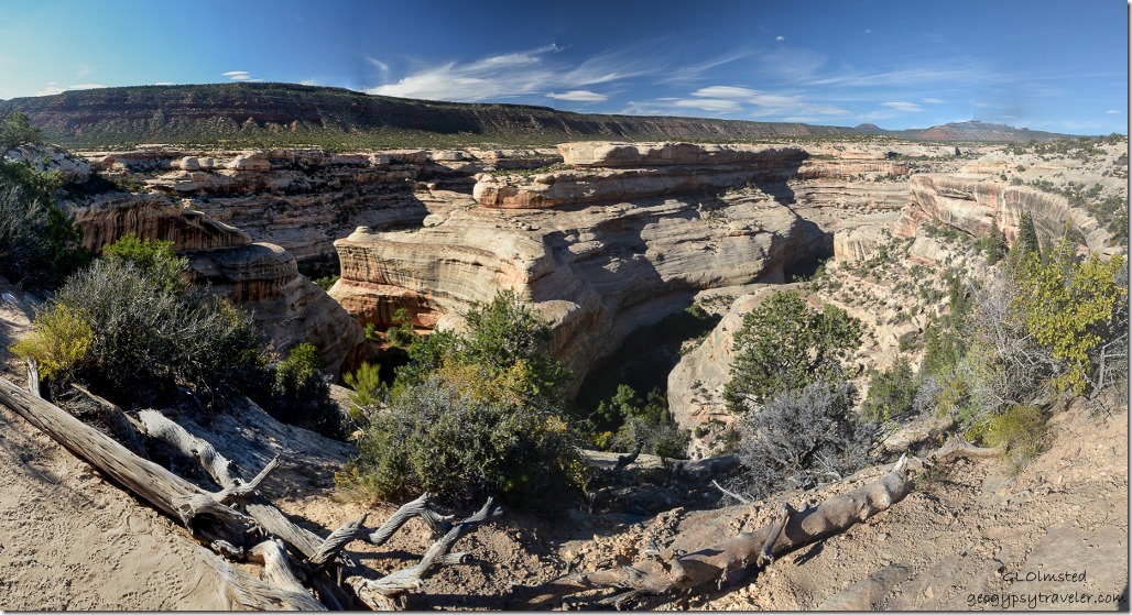
White Canyon Natural Bridges National Monument UtahFinally arrived to Natural Bridges National Monument with a view of White Canyon.  When we pulled into the Visitor Center there were at least 10 bright lime-green and purple “Juicy” rental vans in the parking lot.  We were told it was a bunch of geology students.  Can’t believe I forgot to take photos.

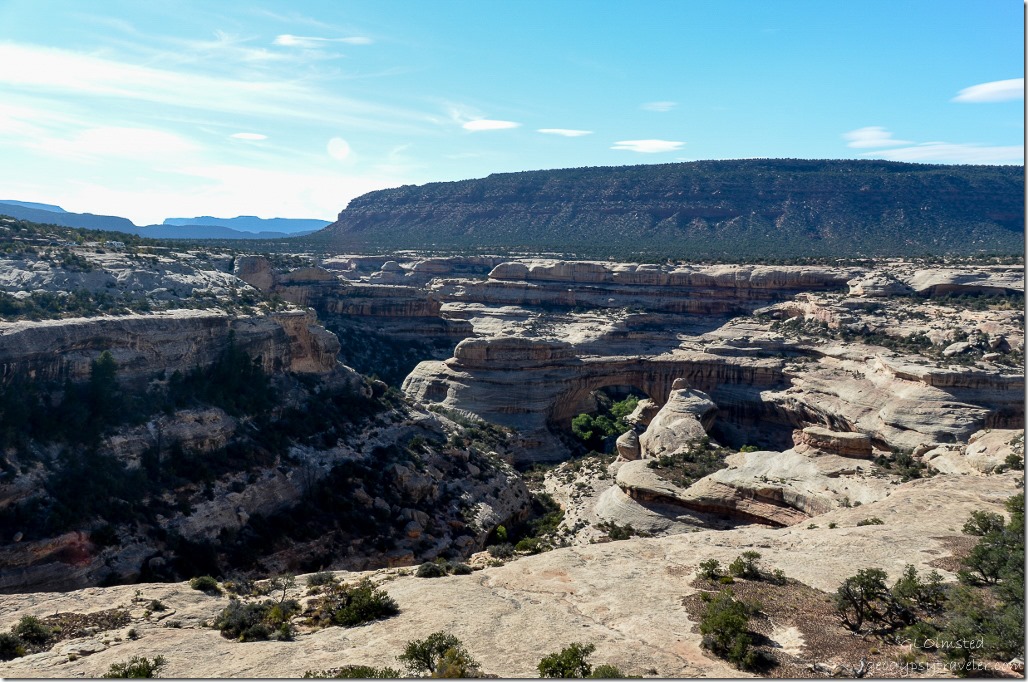
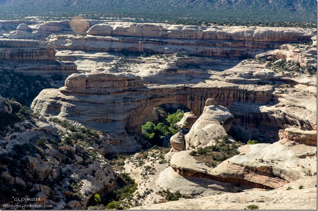
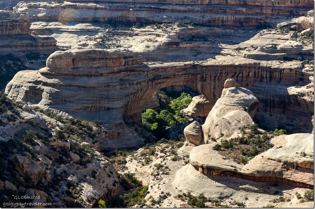
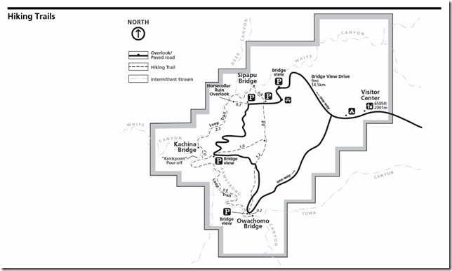
Sipapu Bridge Natural Bridges National Monument UtahPicked up a Junior Ranger book and we took off on the 9 mile (14.5 km) paved one-way Bridge View Drive with overlooks.  First stop Sipapu Bridge which from a distance wasn’t easy to spot even being the second largest natural bridge in the world (Rainbow Bridge in Glen Canyon is bigger) spanning 268 feet (82 m), 31 feet (9.5 m) wide and 53 feet (16 m) thick.

Sipapu Bridge Natural Bridges National Monument UtahThe 1.2 mile (1.9 km) Sipapu Bridge trail described as the steepest in the park including stairs, ladders and switchbacks with a 500 foot (102 m) change in elevation goes to the oak grove beneath the 220 foot (67 m) high bridge.  I’d like to see it from that perspective given more time.

Sipapu Bridge Natural Bridges National Monument UtahIn Hopi mythology, a “sipapu” is a gateway through which souls may pass to the spirit world.  But the bridge was named President in 1883 by Cass Hite a placer gold miner on the Colorado River who explored White Canyon from there.  And Augusta by Horace Long who explored the region in 1904 renaming the bridge after his wife.  Then in 1908, William Douglas led a government survey party to  map the exact boundaries of the new national monument renaming it the Sipapu Bridge.

Horsecollar ruin Natural Bridges National Monument UtahA quick stop at Horsecollar Ruin Overlook but not even down the 0.6 mi (1.0 km) walk for a better view of the cliff dwelling in a large alcove near the bottom of the canyon.  We really didn’t plan enough time, plus it’s not a dog friendly place.  The second, Kachina Bridge previously named Senator and Caroline, we blew off because the parking was overrun with Juicy vans.

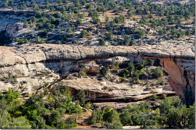
Owachomo Bridge Natural Bridges National Monument UtahLast overlook my favorite Owachomo Bridge, considered the oldest or at least most eroded of the three bridges because of it’s narrow thickness of only 9 feet (3 m) with a span of 180 feet (55 m) and 27 feet (8 m) wide.  Although the exact age of the bridges is difficult to determine due to variations in erosion rates due to climatic conditions.  Does look a little precarious.

Owachomo Bridge Natural Bridges National Monument UtahThe original road into Natural Bridges approached Owachomo Bridge, meaning “rock mound” in Hopi after the rock formation on top of the southeast (left) end of the bridge, from the opposite side ending at a campground and tent-like visitor center.  Owachomo also went through name changes from Congressman and Edwin.  Silly explorers.

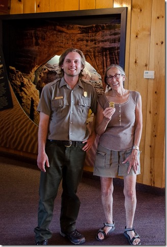
Ranger & Gaelyn getting JR badge Natural Bridges National Monument UtahAfter driving the loop with quick stops at the overlooks like bloody tourists we returned to the Visitor Center where I received my Junior Ranger Badge, #19.

Natural Bridges National Monument map npsI’d like to return and hike the 8.6 mile (13.8 km) loop trail which passes all three bridges.

Comb Ridge UtahWith no campsites available in the monument we retraced our drive heading east back over Comb Ridge and headed to Blanding having decided to treat ourselves to a hotel for the night.  Had dinner at a so-so Thai/Chinese restaurant and after taking five minutes to ‘cruise’ Blanding think it a very appropriate name for a “bland” little town.  Yet a comfortable bed and long hot shower set us up for our next day’s explorations over Elk Ridge to The Needles in Canyonlands National Park.

Comb Ridge Utah

Push my buttons!

  • Facebook
  • Twitter
  • LinkedIn

Like this:

Like Loading...
National Parks and Monuments, Utah Natural Bridges National Monument 22 Comments
← Older posts
Newer posts →

Hi, I’m Gaelyn, the Geogypsy

I retired after 29 summer seasons as a Park Ranger, traveling solo for 40+ years. My passions include travel, connecting to nature, photography, and sharing stories.

I started exploring US National Parks in 1977 and 20 years later became a seasonal Park Ranger.  I’ve lived full-time in a RV for 30 years working summers and playing winters.  I’m still trying to figure out what I want to be when I grow old, other than grow up.

Let’s share our stories.  Here’s more of mine…

My wheeleastate

I am currently…

…boondocking somewhere in southern Arizona.  In the area, give a shout.

Geogypsytraveler on YouTube

Follow my journey on YouTube. Just click the pic. Hope you’ll like, share, and subscribe.

Click image for 7 minute documentary (Password “geogypsy” lowercase)

Making the Gypsy documentary is a story of its own.  Click below for the rest of the story.

Living nomadically & connecting to nature documentary

Subscribe to Blog via Email

Enter your email address to subscribe to this blog and receive notifications of new posts by email.

Photos available for sale include prints, greeting cards, coffee mugs, tote bags, phone cases and more

Reflected Wave 24X16 metal print under $100

Custom Coffee Mugs

Many items to choose from including prints

The Last Blast 24 x 16″ metal print under $100

Need a signal boost? When I boondock on public lands sometimes signal is weak or intermittent and a booster helps. Click the pic to visit WeBoost.

Connecting to nature and the rest of the world too.

Please contact me for photo purchases not seen at GLOlmsted Photography

Order fulfillment is by Fine Art America. If you’re not happy with your purchase, for any reason, simply return it within 30 days, and you’ll receive a full refund of the purchase price.

Why read Geogypsy?

The gypsy life spring-summer 1998 - "You were a real pioneer. RV'ing before it was cool." ...Yogi

How do you process photos? - “Your photographs create an Emotional feeling in the viewer...that they become One with You.” …Cindy

Life’s transitions between travel and work play - "I know you love your job as much as you love travel -- it shines through all your posts." ...Sallie

Lions at Kruger National Park - “Wonderful post, thank you. I was hooked start to finish!” … Peter B

11 lessons looking back 2013 - “A great post -- made me think, made me smile, made me want to cry." ...Sallie

Wildlife video Kruger National Park - “Gorgeous, this makes me want to go straight to South Africa now.” … Ayngelina

Living nomadically & connecting to nature documentary - “What an experience you had and gave to the "crew." Sometimes I think you don't realize how unique and inspiring you are.” …Alan

Search

Popular Posts

1. Prioritize the well-being of nature over photography. 2. Educate yourself about the places you photograph. 3. Reflect on the possible impact of your actions. 4. Use discretion if sharing locations. 5. Know and follow rules and regulations. 6. Always follow Leave No Trace principles and strive to leave places better than you found them. 7. Actively promote and educate others about these principles

Categories

Archives

Sites I follow, read & recommend

  • A Full-time Life
  • A Yankee in Belgrade
  • Bob's Eyes
  • Box Canyon Blog
  • Camels and Chocolate
  • Dawns bloggy blog
  • In the Direction of Our Dreams
  • Jane in her infinite wisdom
  • Janie and Steve, Utah Trails
  • Kathie's Birds
  • Las Adventuras
  • Memorable Meanders
  • Oh, The Places They Go
  • On the Road Abode
  • Port Elizabeth Daily Photo
  • Stillhowlyntravels
  • Take to the Highway
  • Technomadia
  • the good luck Duck
  • Travel with the Bayfield Bunch
  • Wandering Earl
  • Wheeling It
  • Yogi's Den

Caught in a Slot 9×12 canvas print under $50

If you don’t like what’s going on in your government, contact your Congress

Directory of Senators

Directory of Representatives

Lijit

© Copyright 2008-2024. Geogypsytraveler.com
%d